





Quiraing Hike
Key facts about the hike
- Difficulty
- Moderate Hikes are rated from very easy to very hard: my difficulty scale
- Duration
- 4h Estimated time, short breaks included (photos, water, snacks), picnic not included: how it is calculated
- Distance
- 8.1km
- Elevation gain
- 530m
- Type of route
- Loop
- Maximum altitude
- 520 m
- Vertiginous Five levels, depending on how exposed the route is: the levels in detail
- Moderately
- Marked
- No
- Popularity
- Moderate
- Region
- Isle of Skye
- Start point
- 57.62818, -6.29052
- Activity
- Hiking
Hike overview
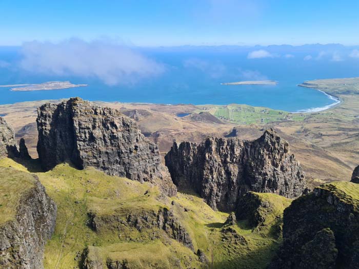
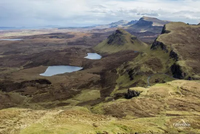
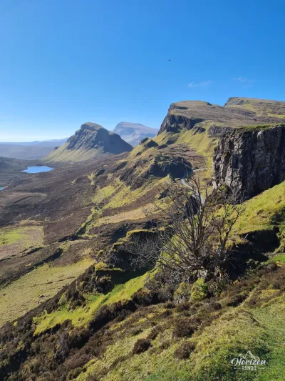
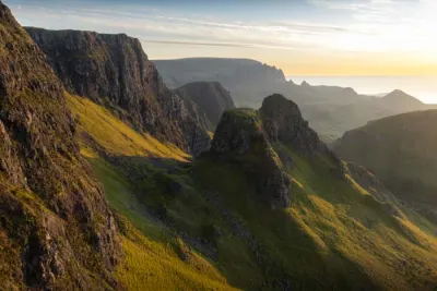
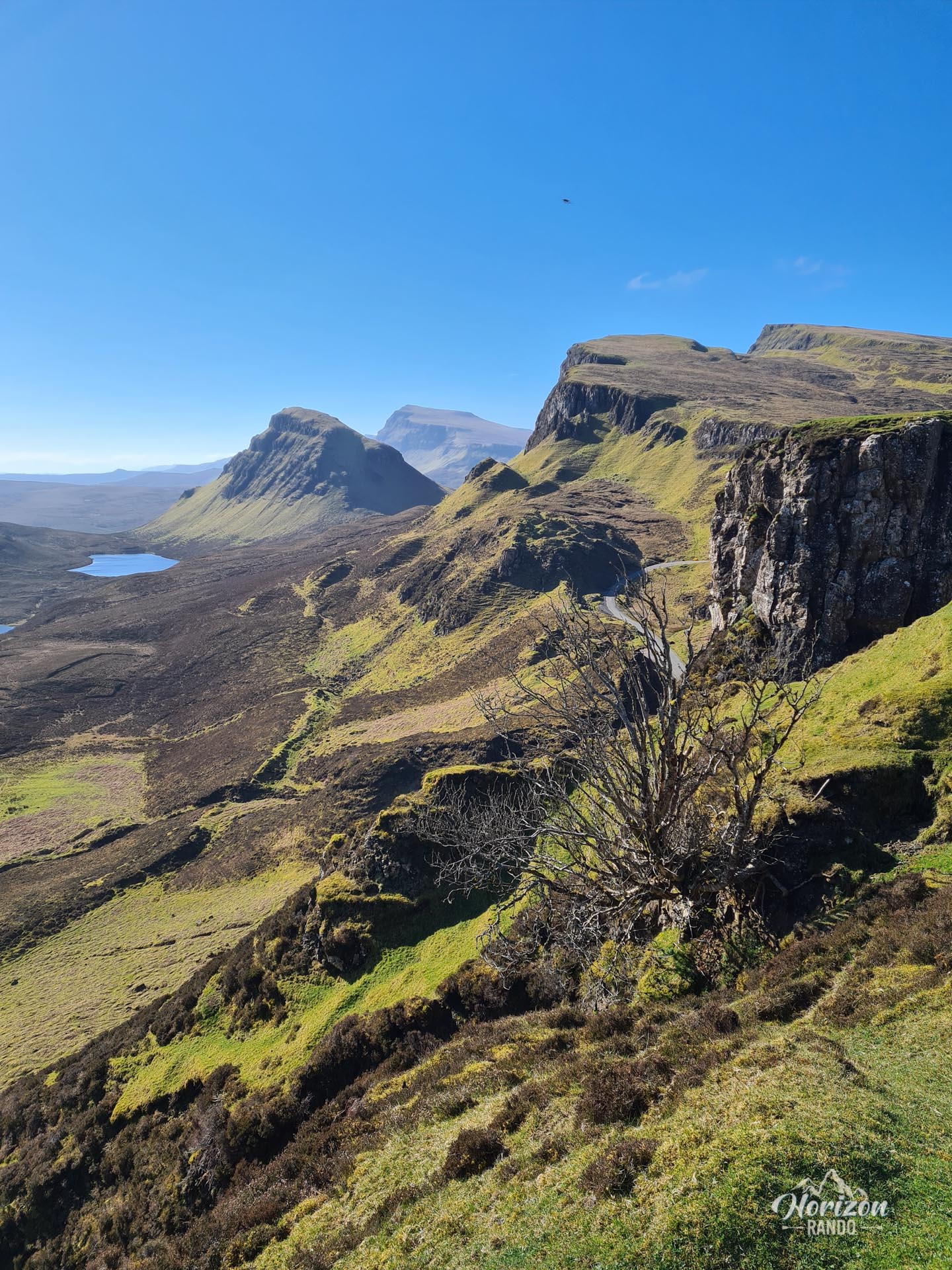
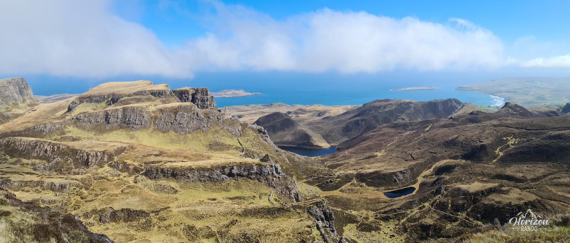
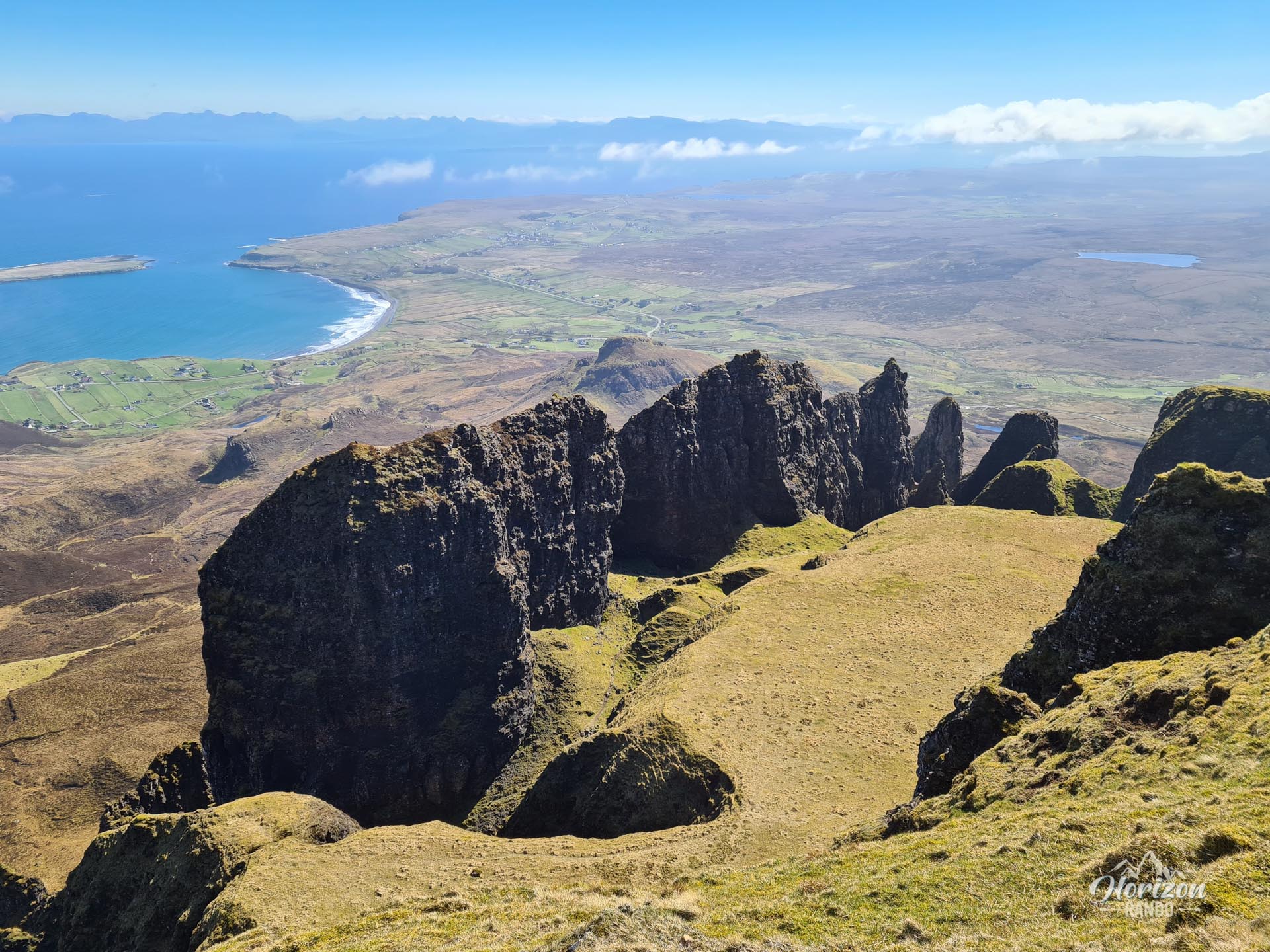
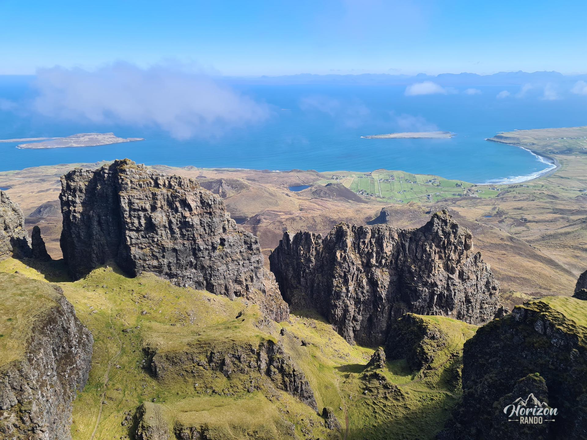
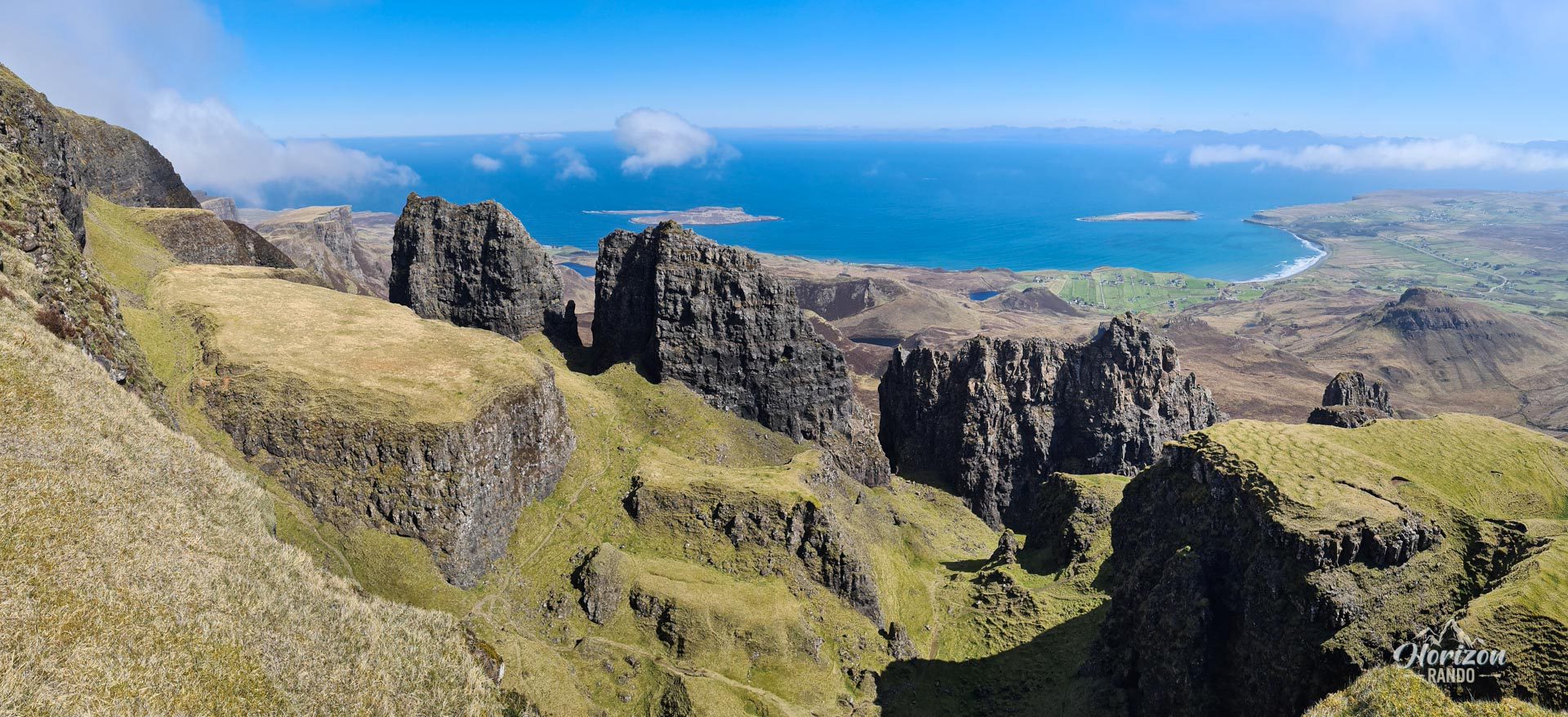
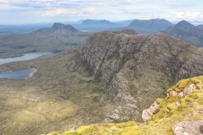
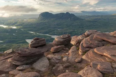
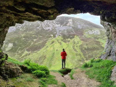
The Quiraing hike on the Trotternish Peninsula takes you through one of Scotland's most spectacular landscapes. This iconic site, formed by a massive landslide, boasts unique rock formations, including vertiginous cliffs, rocky pinnacles, and hidden plateaus that seem otherworldly.
A must-see on the Isle of Skye, the Quiraing attracts many visitors, most of whom are content to admire the view from the parking lot or take a short walk. However, the full loop reveals extraordinary panoramas and many surprises, which only the most motivated hikers will discover far from the tourist crowds.
Map and elevation profile of the hike
Quiraing Hike
Difficulties of the hike
The route is physically accessible, with a moderate elevation gain of about 530 meters over eight kilometers. However, the trail is uneven and rocky in places, requiring constant attention. The return along the escarpment includes a few slightly exposed sections that may be daunting for those afraid of heights.
The optional detour to "The Table" significantly increases the difficulty. You will encounter very steep and demanding slopes that are particularly slippery on the descent. This detour requires good physical condition and experience in steep terrain.
What you'll love
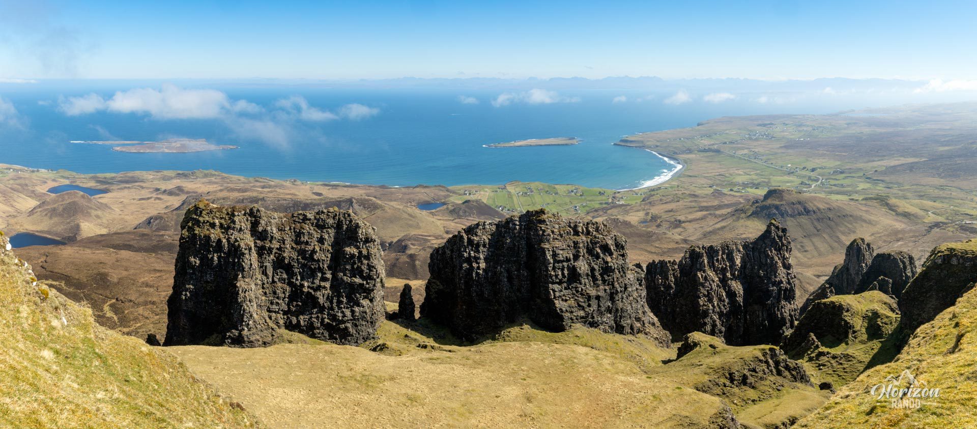
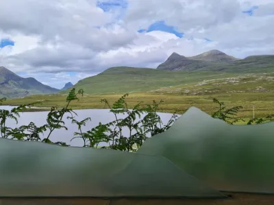
- Exceptional views of the Trotternish coast, Staffin Bay, and the Applecross and Torridon mountain ranges on the mainland.
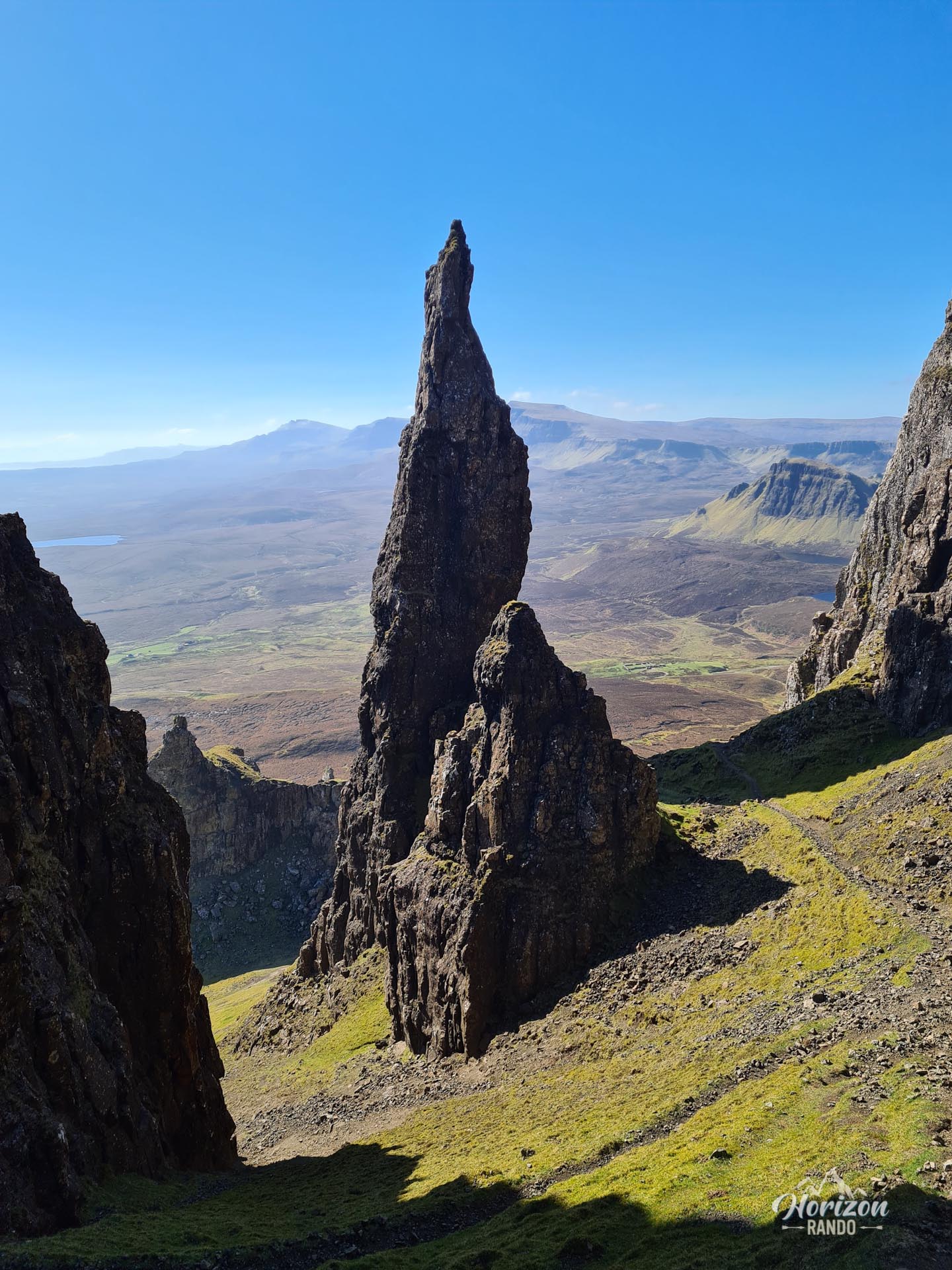
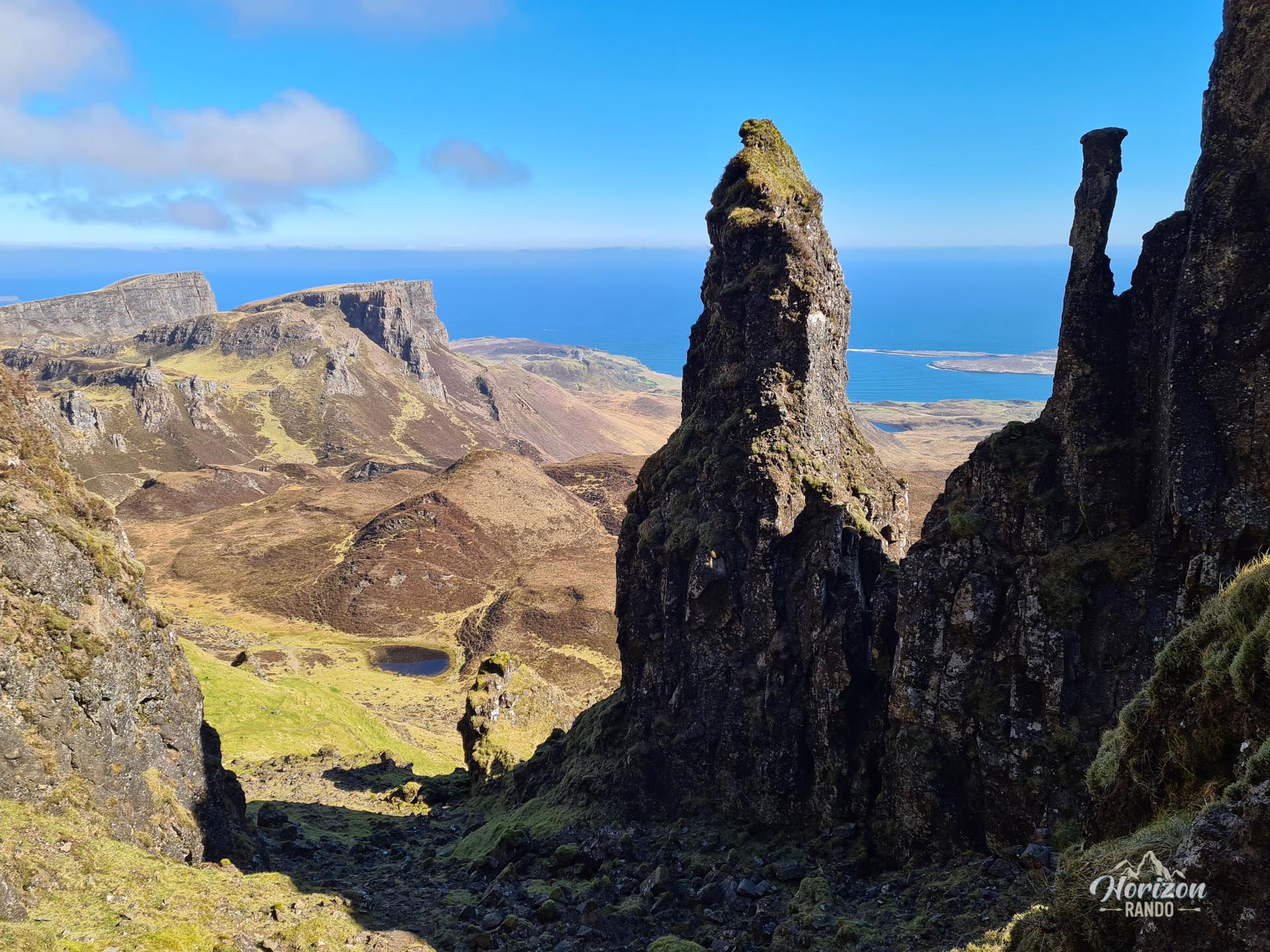
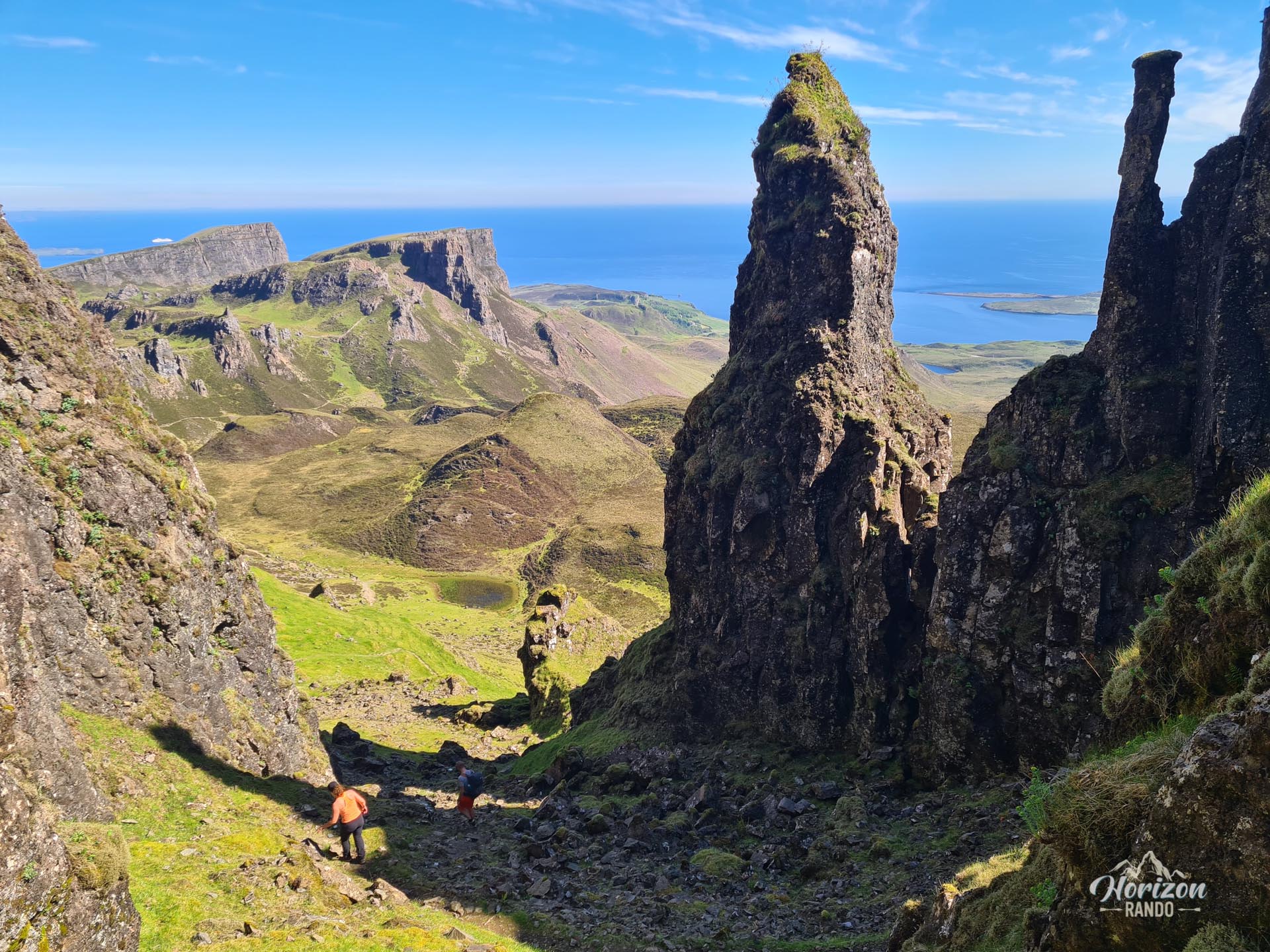
- The opportunity to explore the heart of the Quiraing via an optional but spectacular detour: The Needle, a 37-meter-high pinnacle, and The Table, a large, very flat grassy area offering extraordinary views.
Practical information
Parking
Parking is paid at the start (indicative price in 2025: £5 for six hours). In high season, arrive early, as the parking lot can fill up by midday.
Optional detour
The climb to The Needle and The Table is very steep and difficult, on unstable ground. This challenging detour is intended for experienced hikers who are comfortable with steep terrain. However, it offers unique views and fewer crowds. Follow the GPS route carefully to locate the intersection, as there are no signs.
Extension
For hikers seeking a wilderness experience away from the crowds, it is possible to extend this hike towards Bioda Buidhe, a particularly wild and unspoiled area.
Photos
See all 10 photos →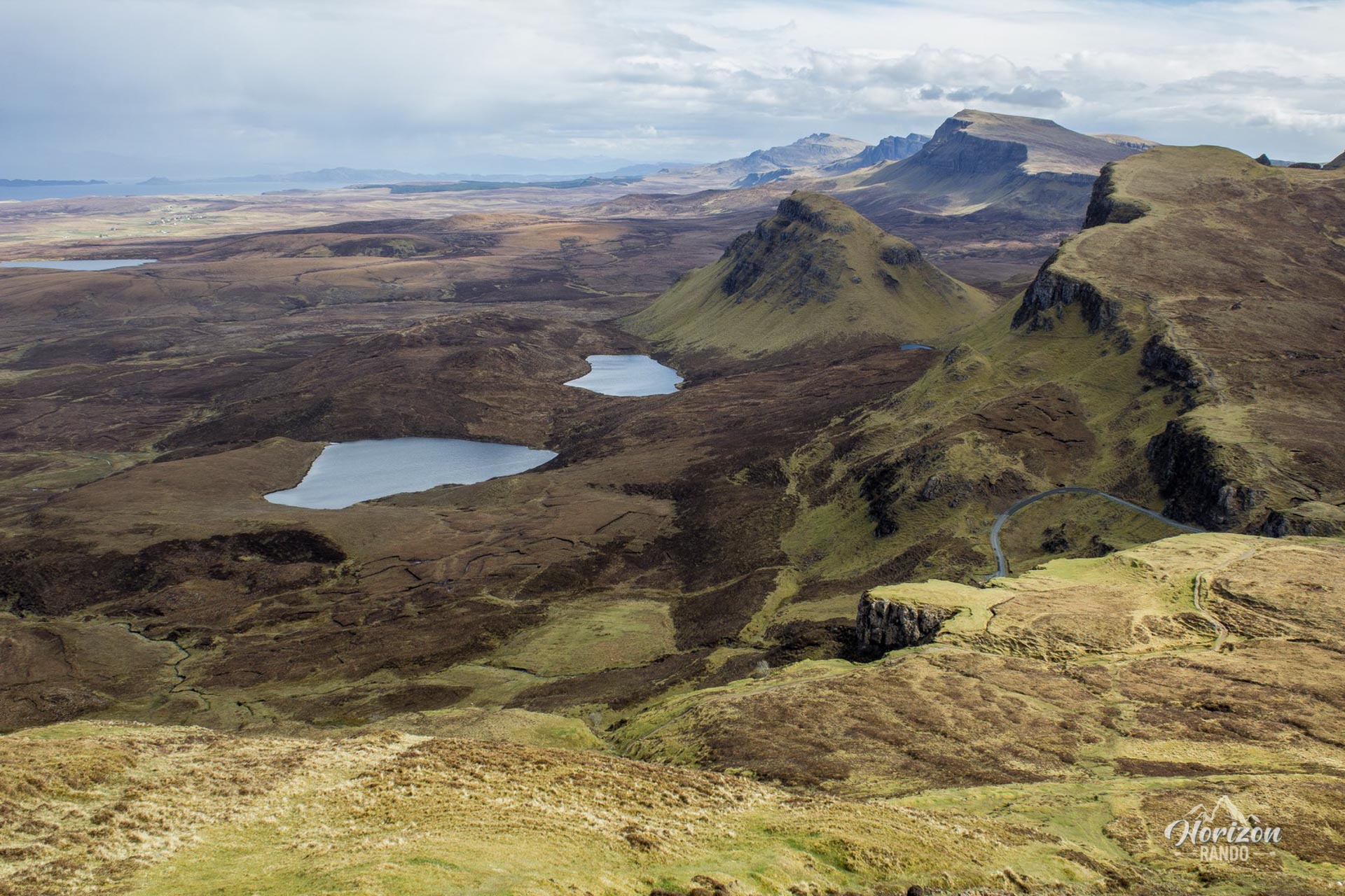
More hikes to do in Scotland
Nearby hikes











Printed from www.horizonrando.fr/en/scotland/quiraing/