





Caisteal Abhail Hike
Key facts about the hike
- Difficulty
- Hard Hikes are rated from very easy to very hard: my difficulty scale
- Duration
- 6h Estimated time, short breaks included (photos, water, snacks), picnic not included: how it is calculated
- Distance
- 11km
- Elevation gain
- 830m
- Type of route
- Loop
- Maximum altitude
- 859 m
- Vertiginous Five levels, depending on how exposed the route is: the levels in detail
- Slightly
- Marked
- No
- Popularity
- Low
- Region
- Isle of Arran
- Start point
- 55.67310, -5.19287
- Activity
- Hiking
Hike overview
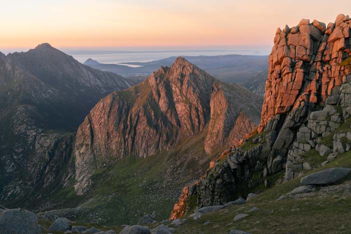
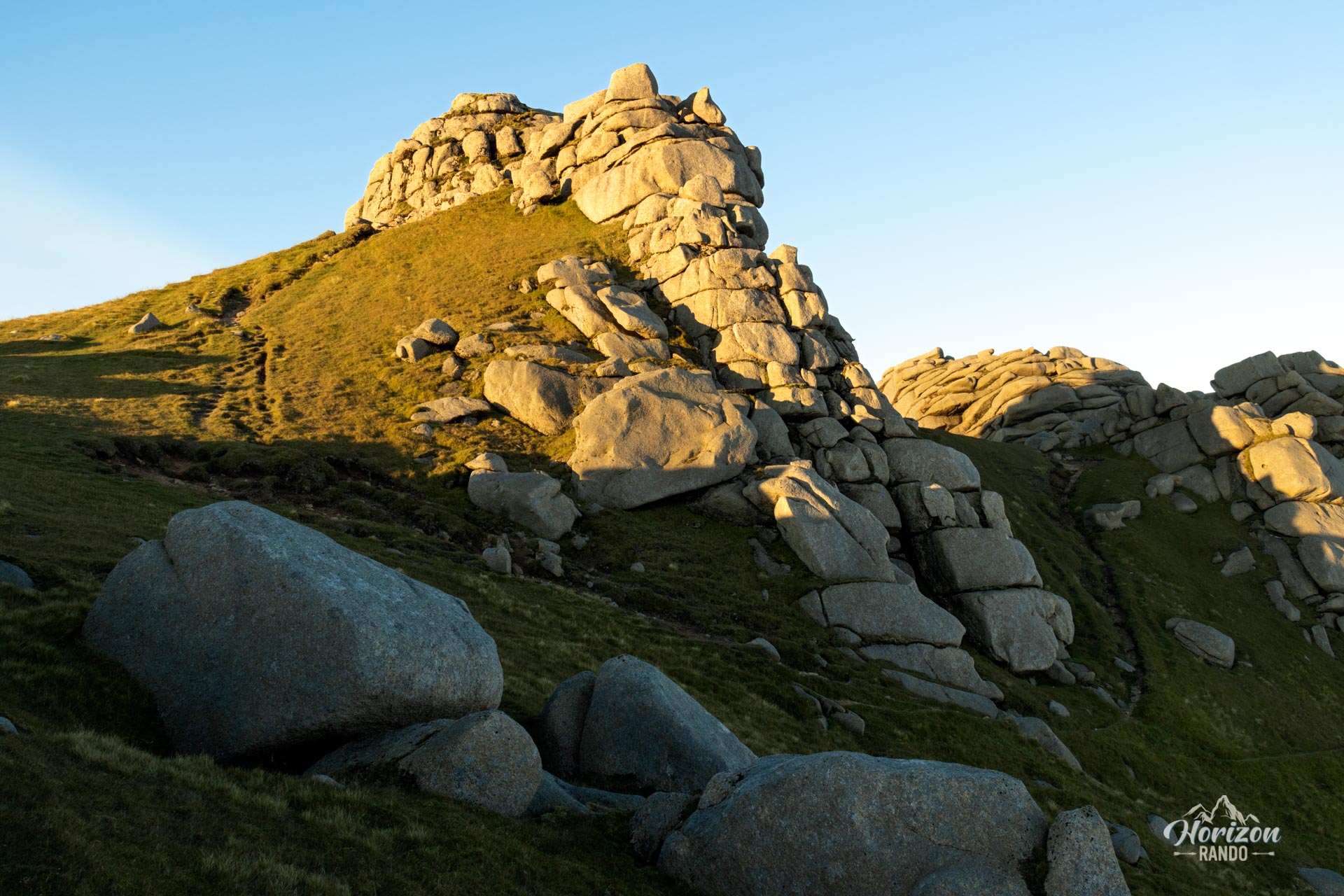
The hike up Caisteal Abhail, one of the four Corbetts on the Isle of Arran, leads to a spectacular 859-meter summit characterized by impressive, eroded granite formations. The Gaelic term Caisteal means "fortress," a fitting name given the imposing rocks that crown the summit and resemble castle ramparts.
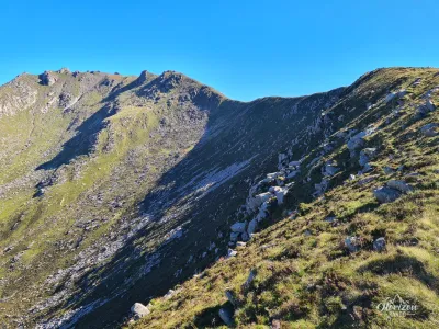
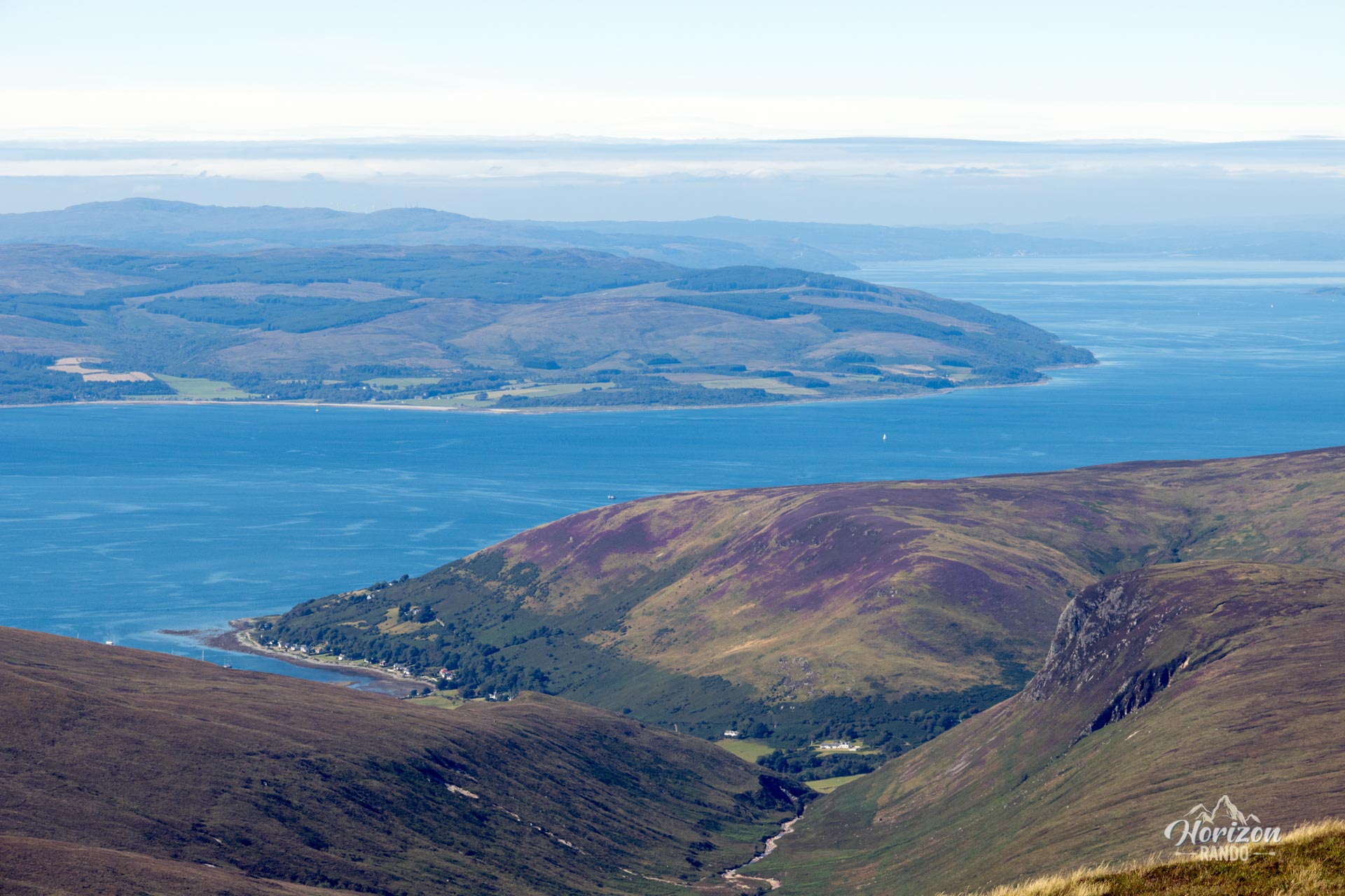
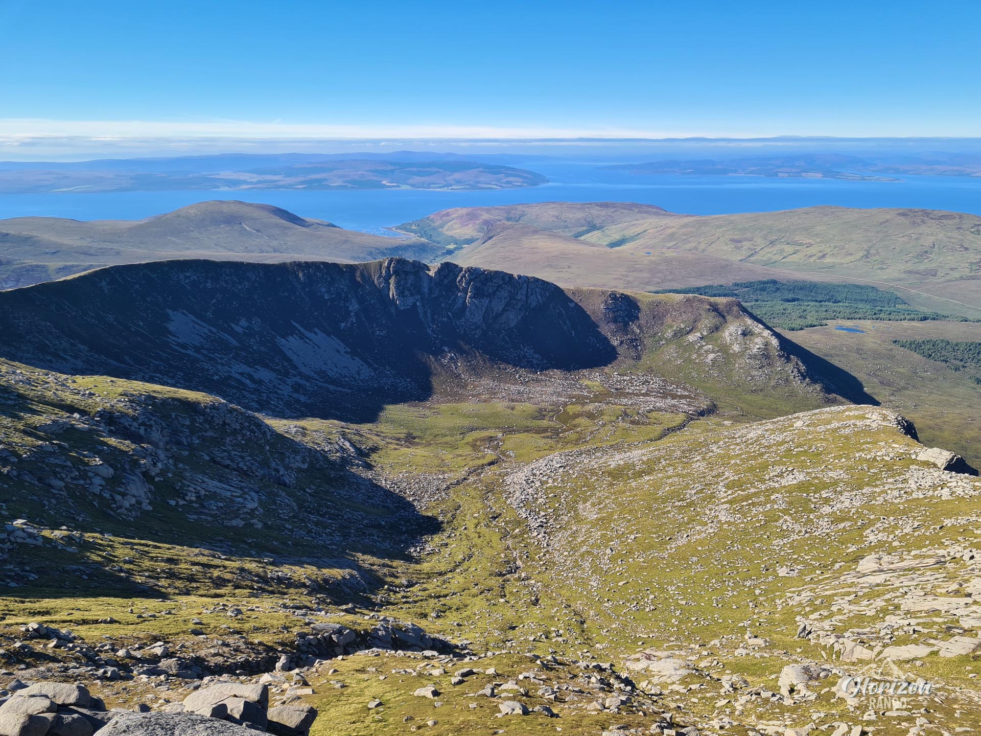
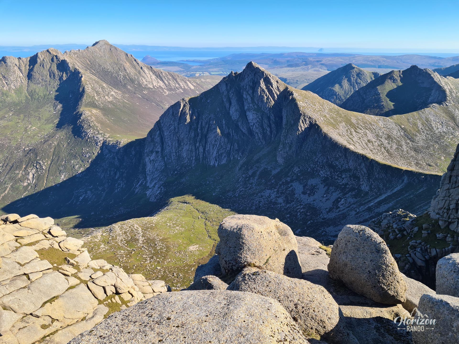
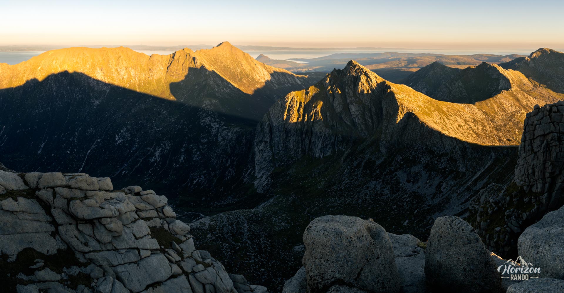
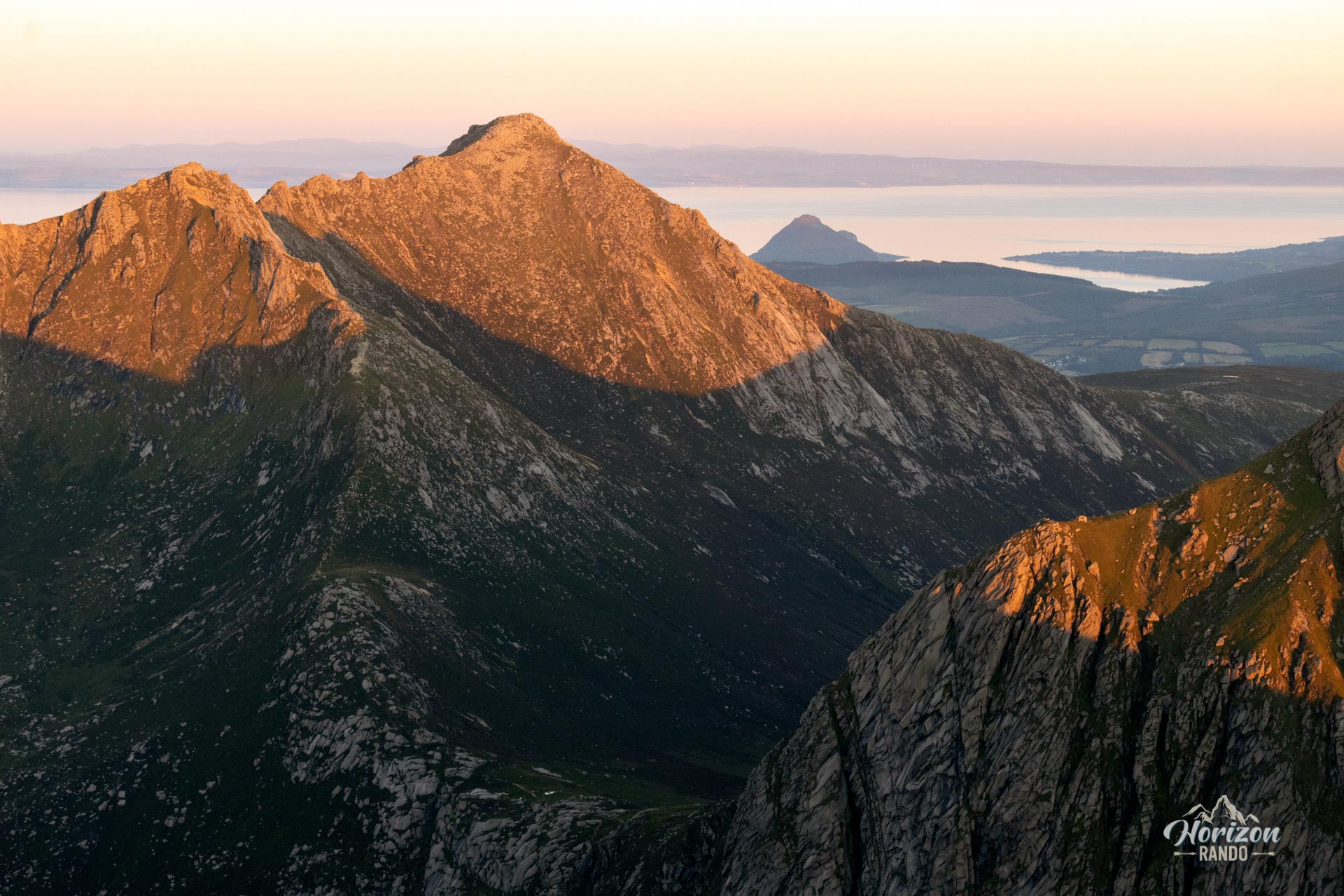
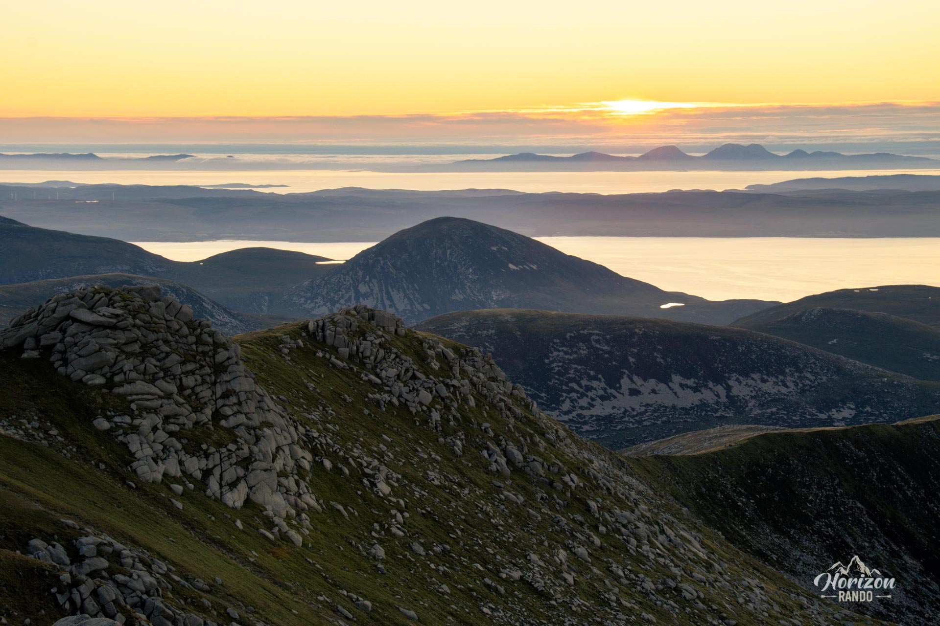
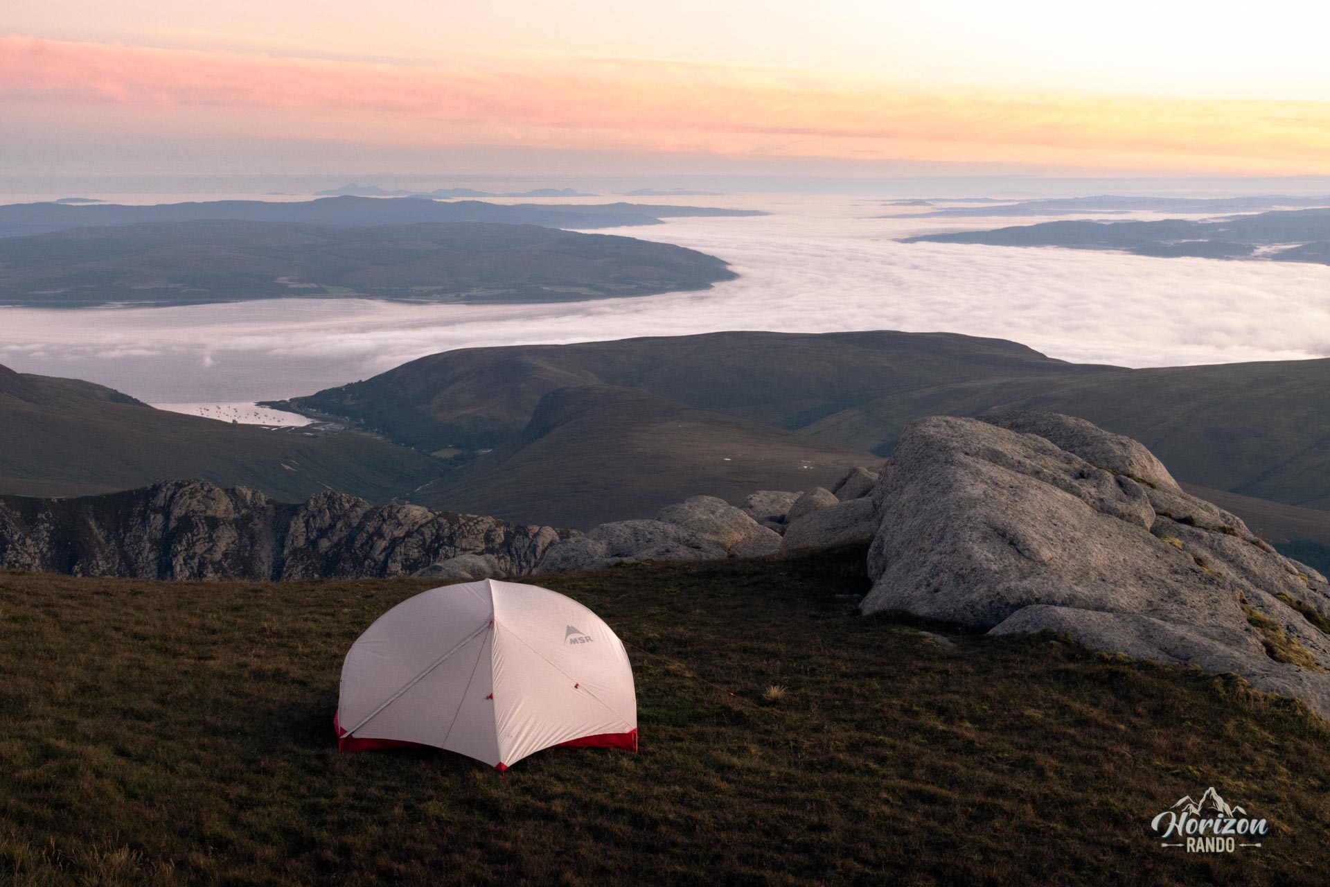
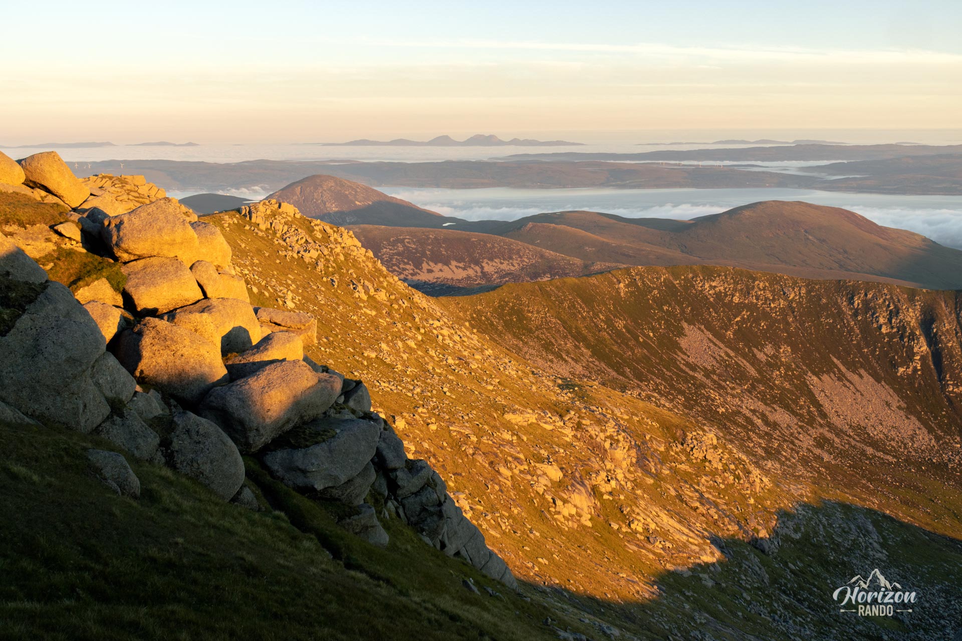
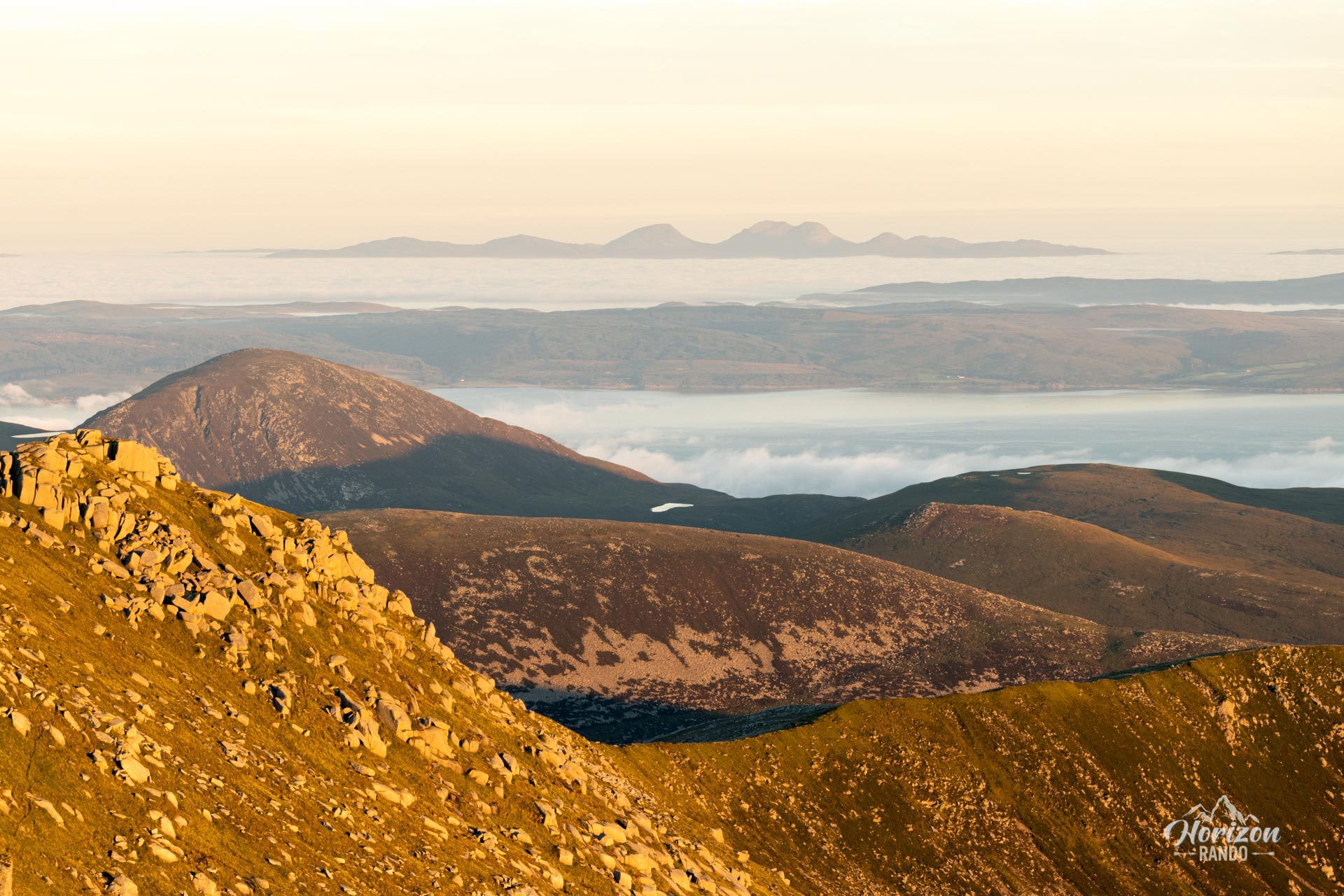
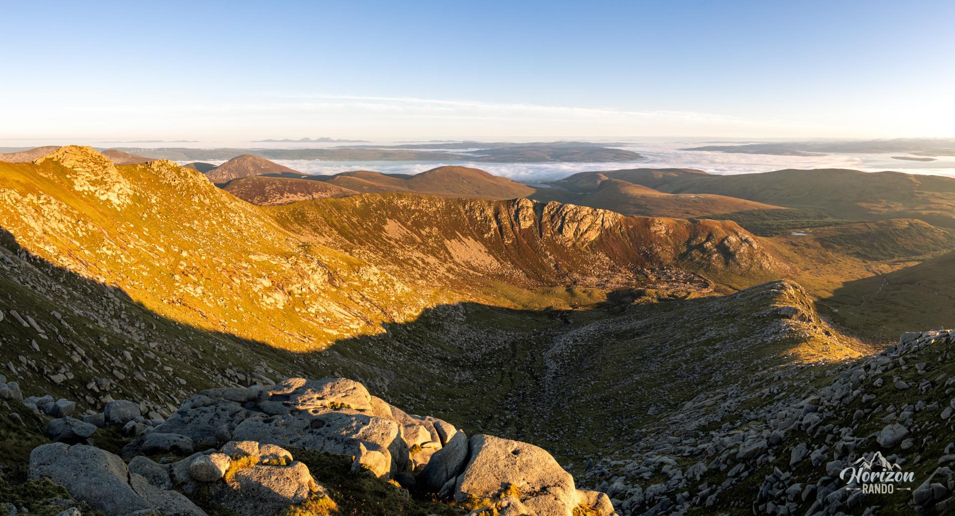
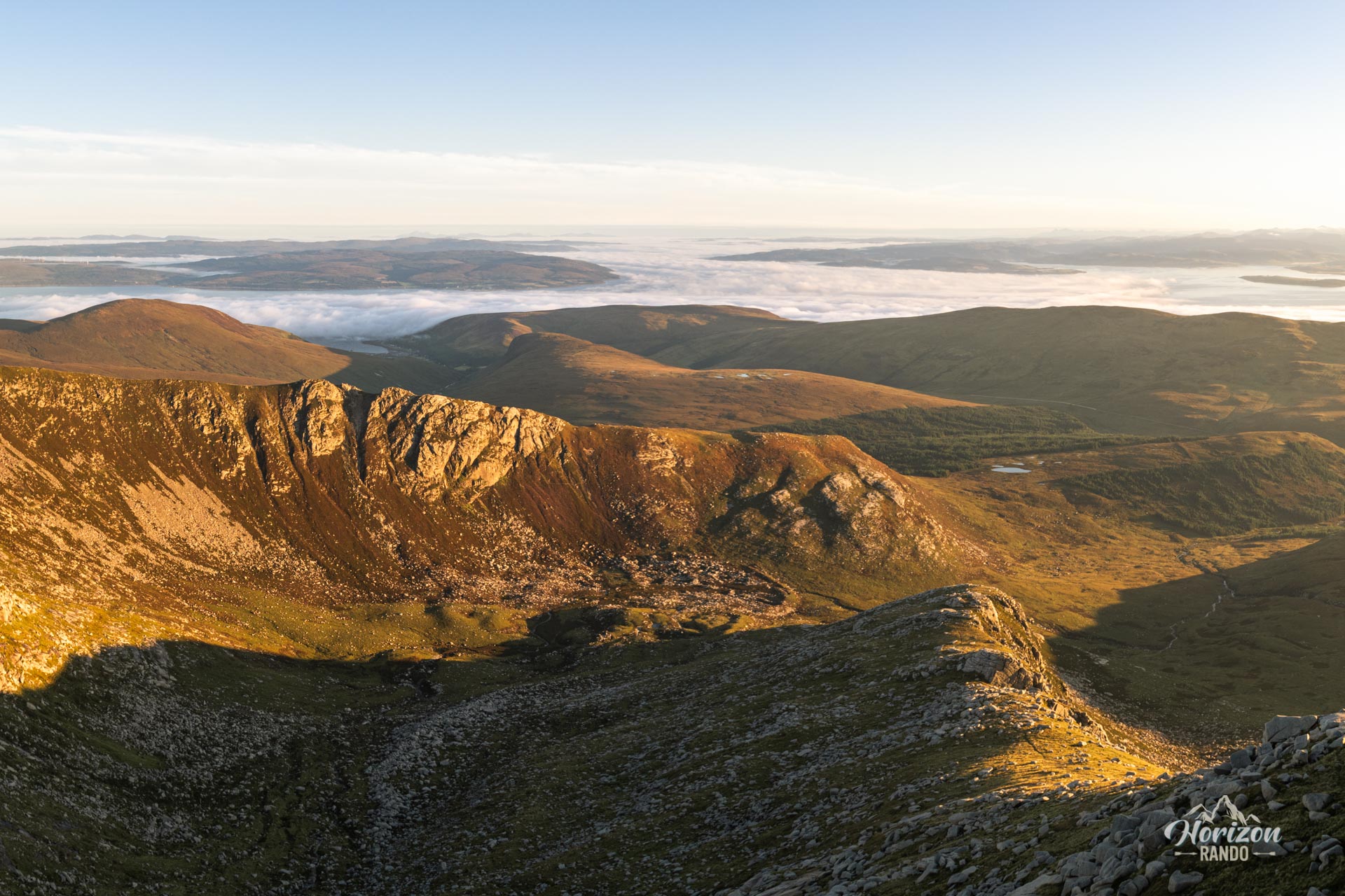
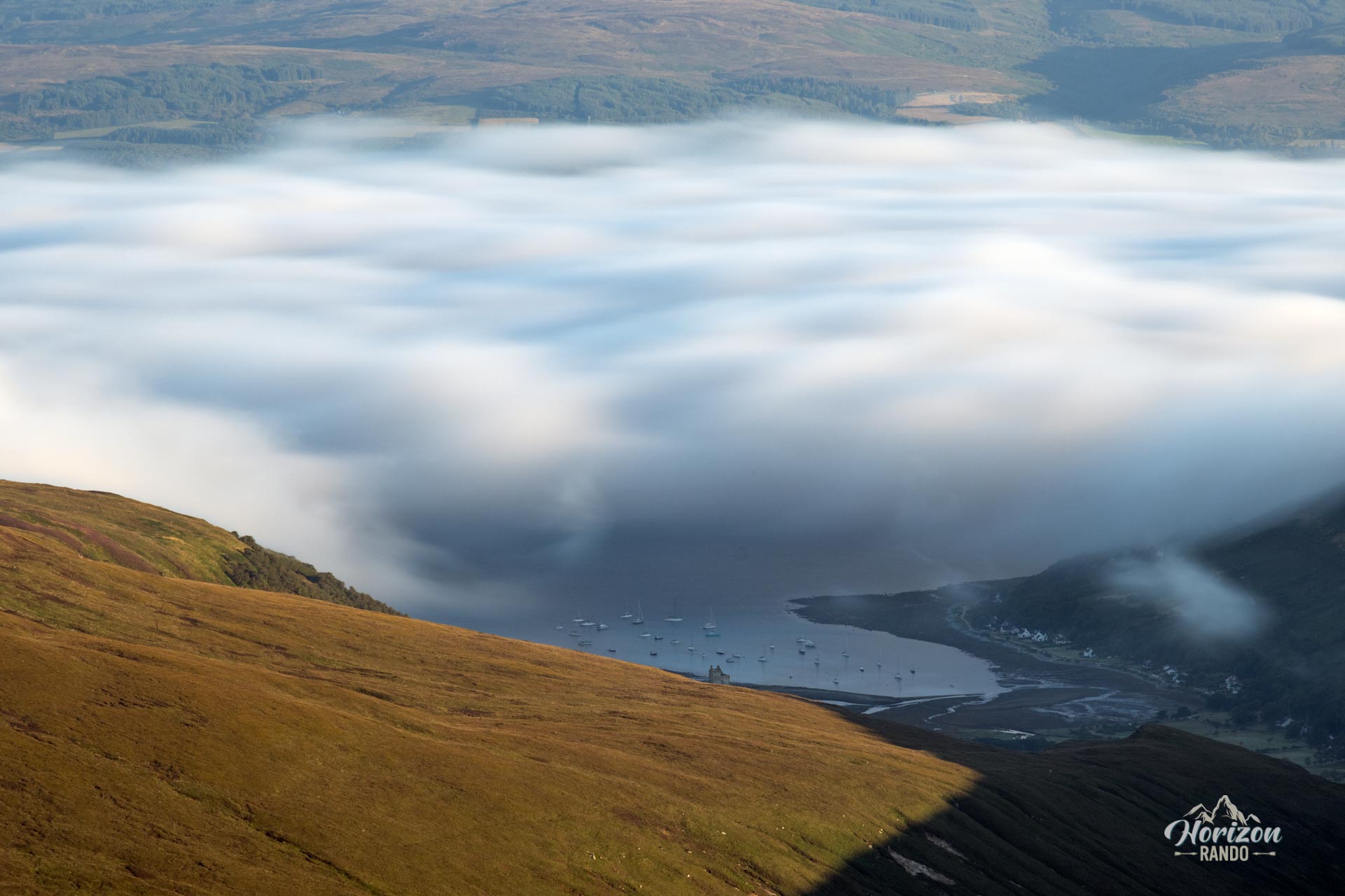
From the top, you can enjoy exceptional panoramic views of the entire island, the surrounding iconic peaks, such as Goatfell and Cir Mhòr, and, on a clear day, the Irish coast. The proposed route ascends via the west ridge—a relatively accessible route—and descends off-trail through a wilder area.
Map and elevation profile of the hike
Caisteal Abhail Hike
Description and difficulties of the hike
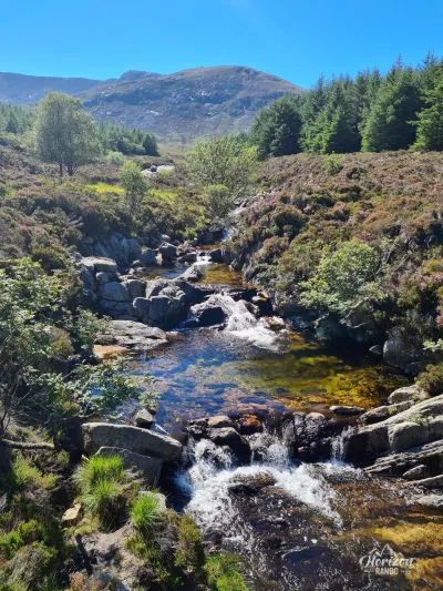
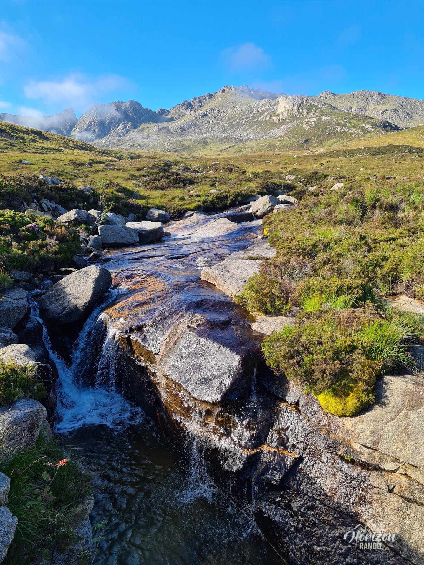
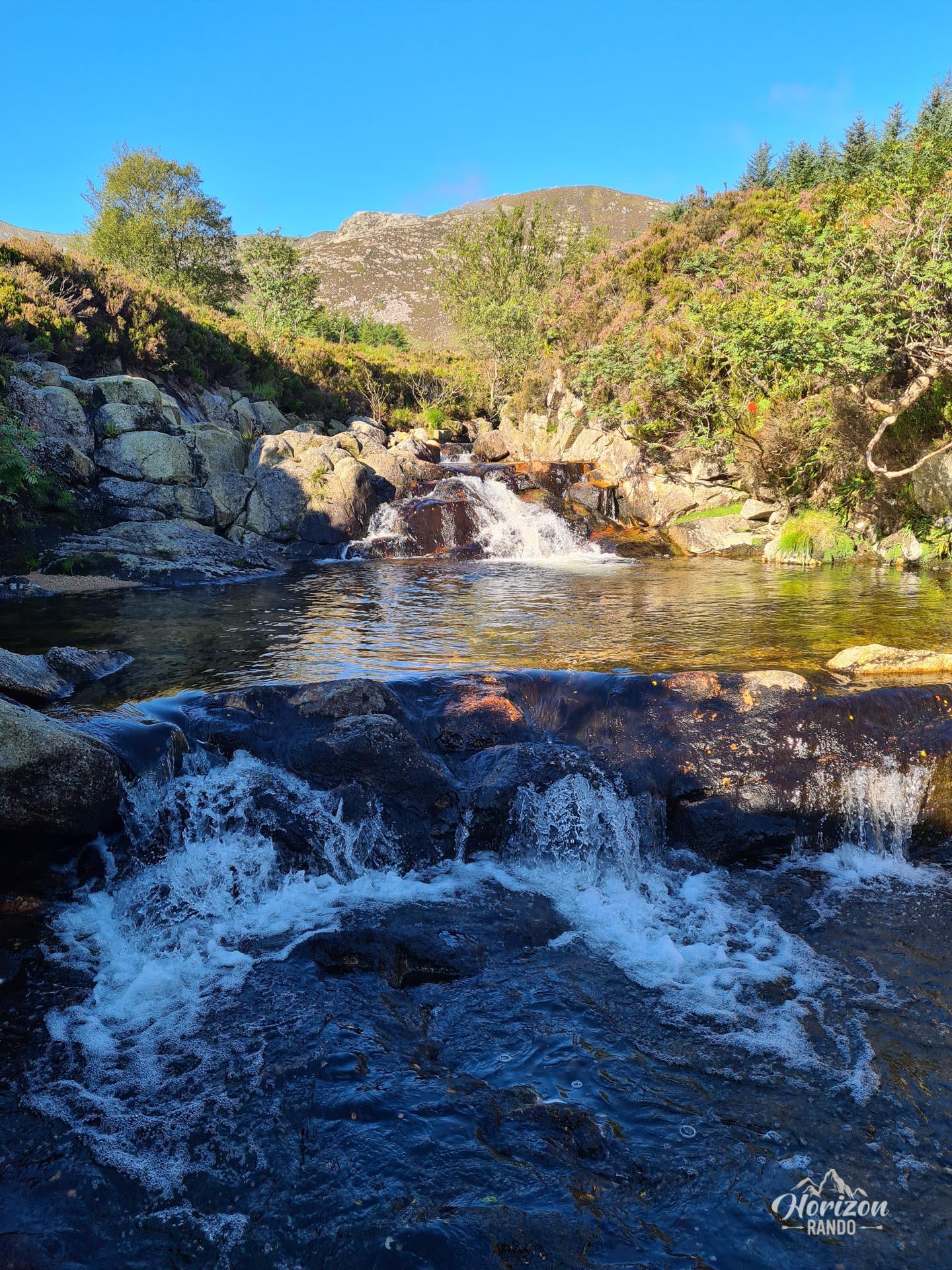
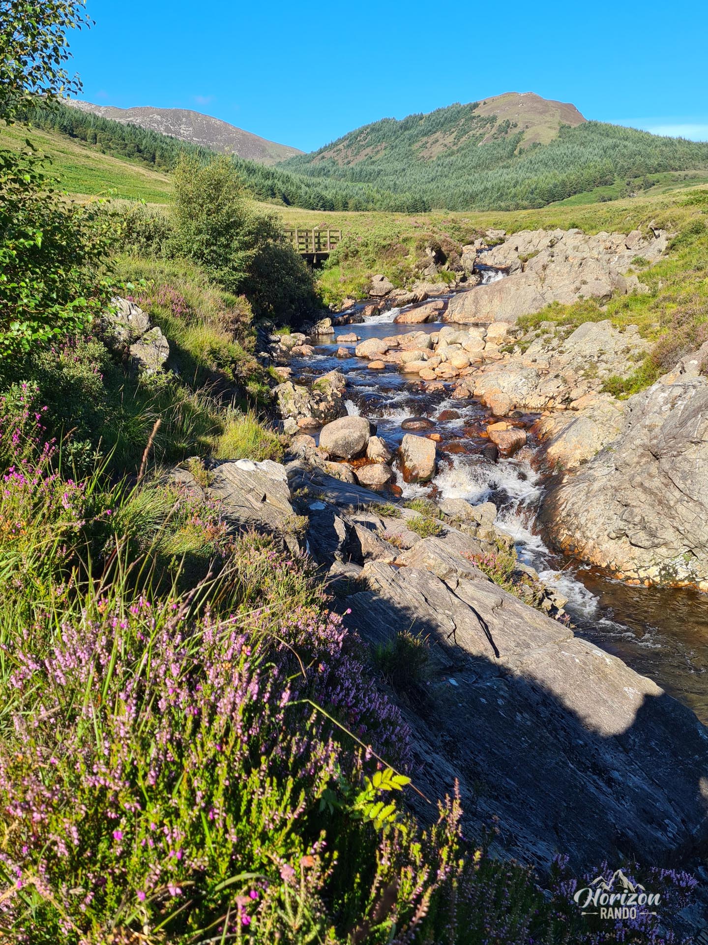
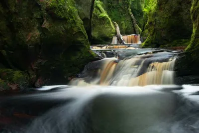
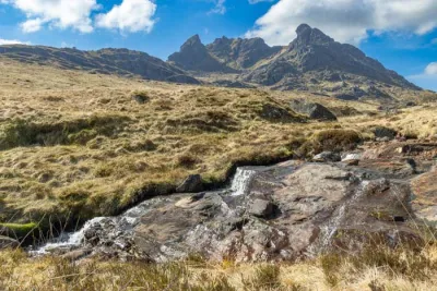
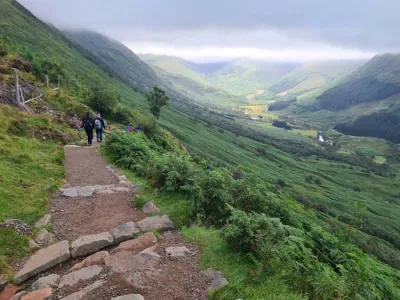
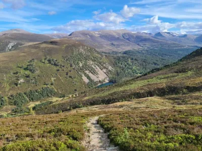
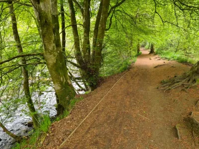
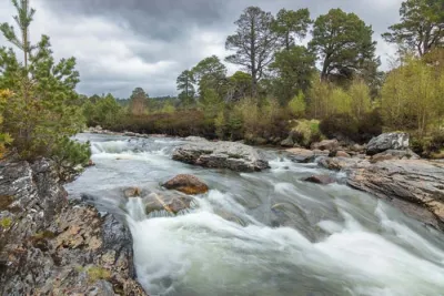
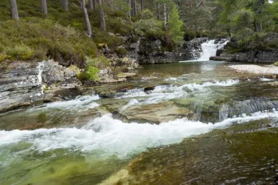
The ascent of Caisteal Abhail begins on an excellent, gently sloping trail alongside the North Sannox Burn and its waterfalls. After about two kilometers, at the edge of the forest, you will need to cross the stream to reach the western ridge. The trail becomes less obvious at times but remains easy to follow to the summit.
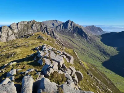
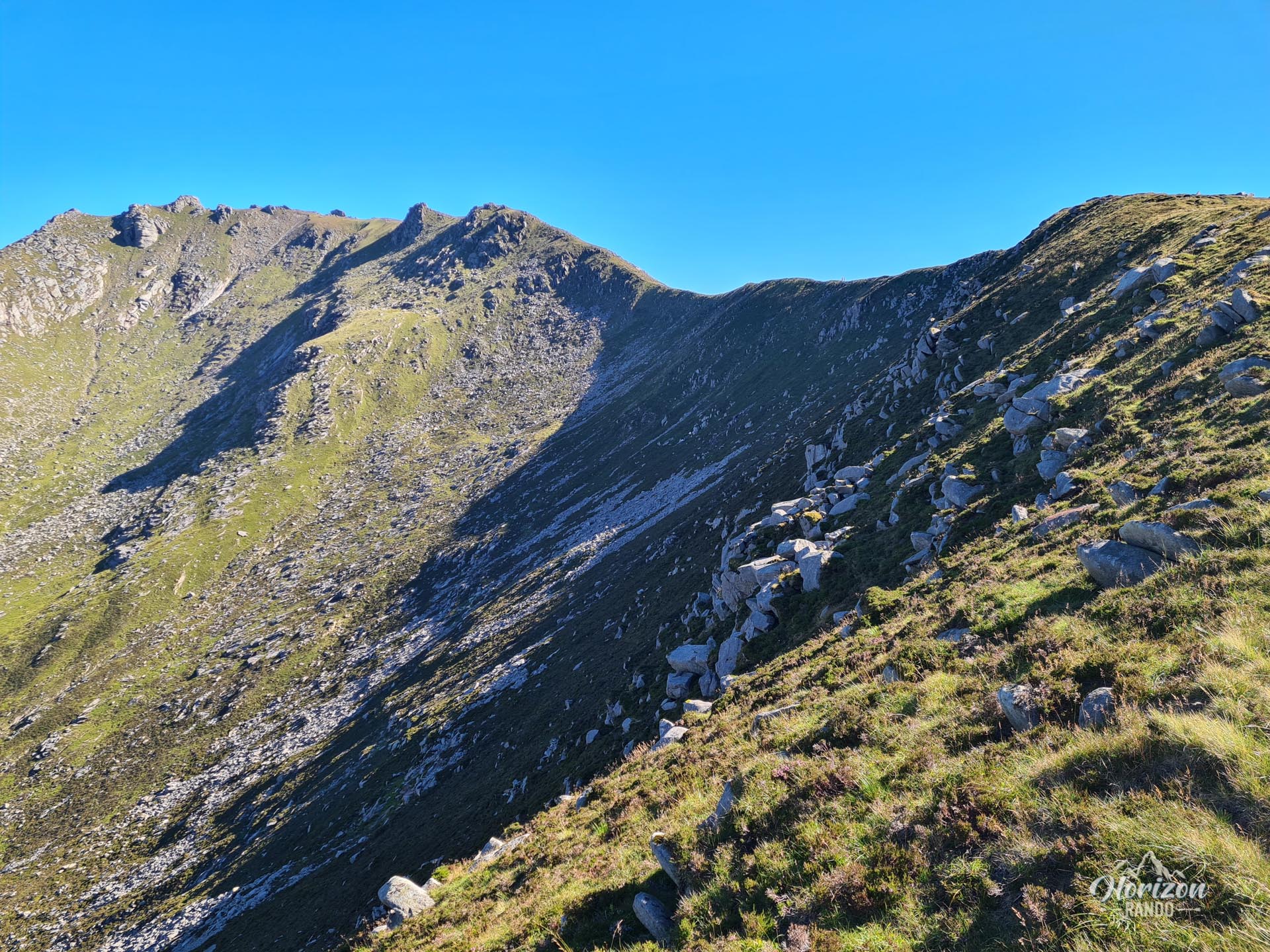
The ascent is not technically difficult, though the terrain gradually becomes rockier. At the summit, there are several granite tors. Reaching the top requires taking a few simple climbing steps around the east face.
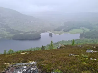
The descent is the most challenging part of the hike. After leaving the ridge, the route consists of off-trail terrain with tall grass, bushes, and rocks. The descent alongside the stream leads through a marshy area that can be difficult.
What you'll love
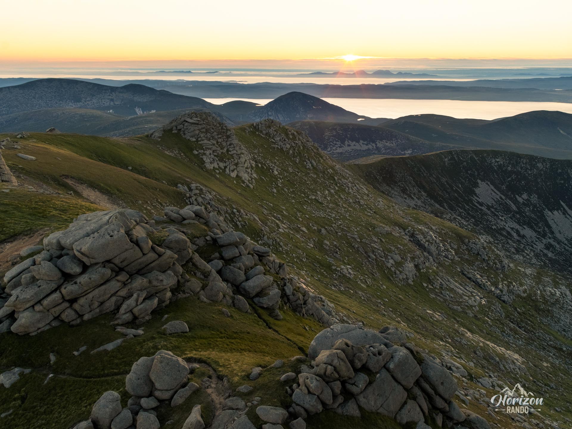
- The exceptional panorama from the summit: A spectacular 360° view of the entire island of Arran, the neighboring peaks of Cir Mhòr and Goatfell, and the mainland, with the coasts of Kintyre, Jura, and Ireland visible in the distance.
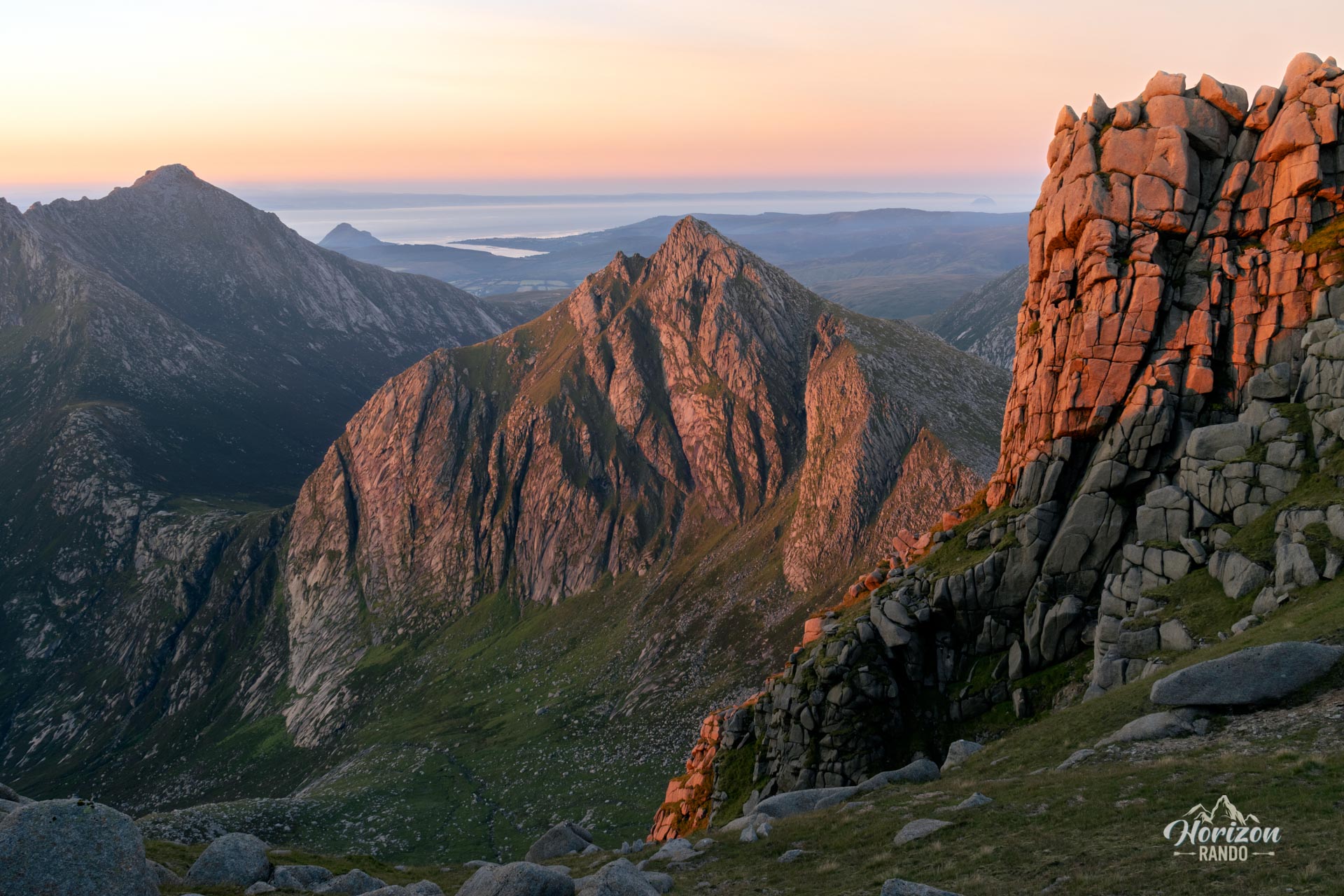
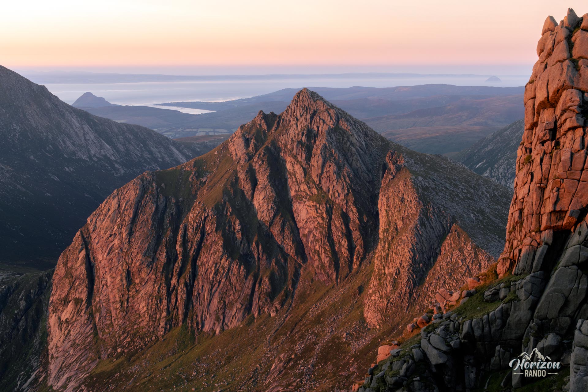
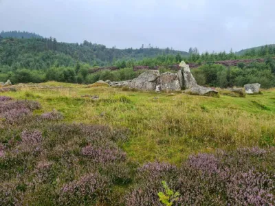
- The fascinating granite formations: As you approach the summit, you will discover numerous strangely shaped tors sculpted by erosion.
- The walk along the ridge: A real treat for mountain hiking enthusiasts, revealing spectacular views on both sides.
- A wild and authentic atmosphere with significantly fewer visitors than on Goatfell, allowing you to fully enjoy nature.
Practical information
Parking
There is a large, free parking lot near North Sannox Bridge on the A841 road, about 3 km west of the village of Sannox.
Alternative descent
If you prefer to avoid the off-trail descent through the vegetation, you can return via the same route as on the way up. This option slightly lengthens the hike but ensures that you stay on an established trail.
Photos
See all 21 photos →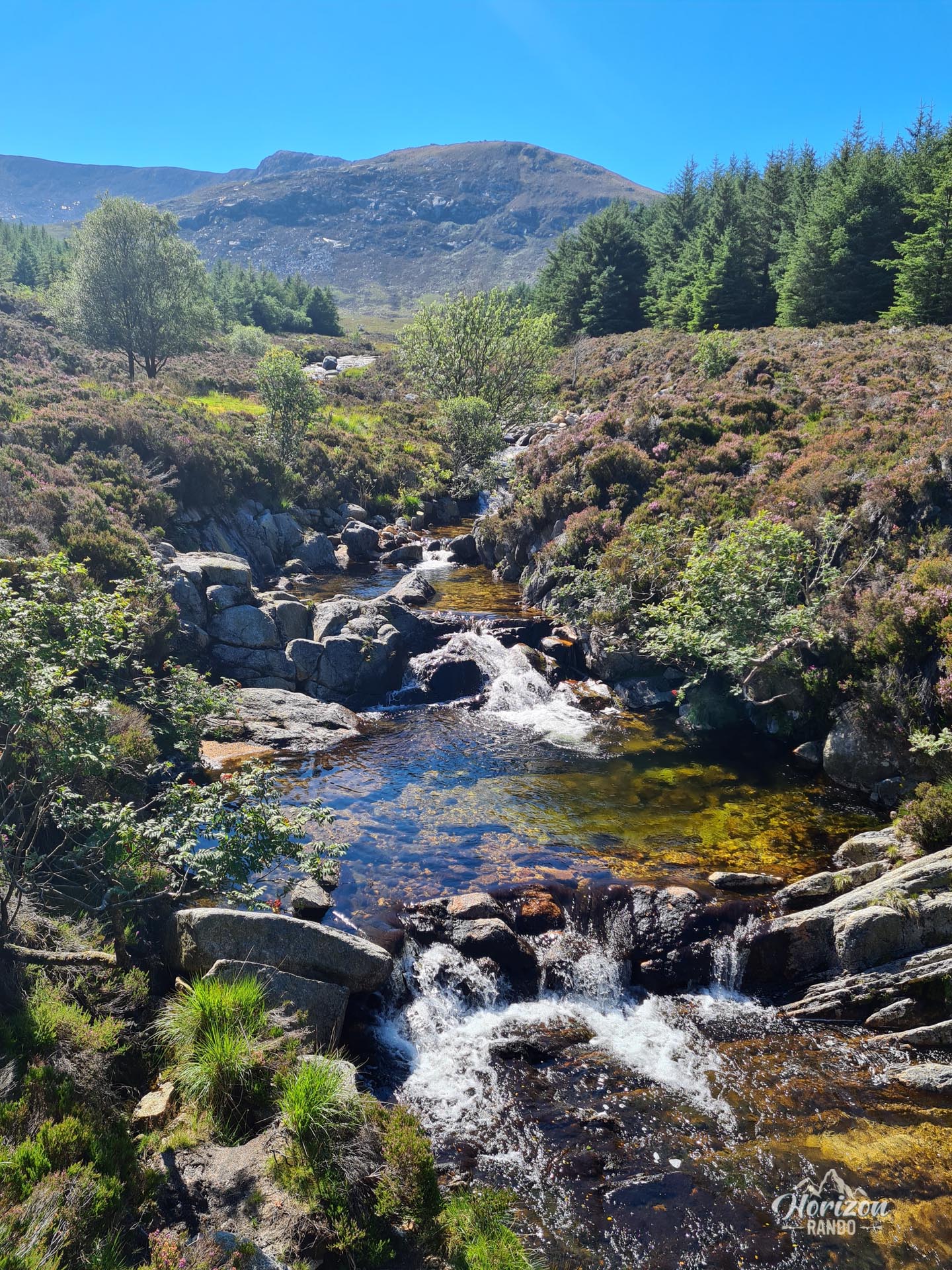
More hikes to do in Scotland
Nearby hikes






Printed from www.horizonrando.fr/en/scotland/caisteal-abhail/