





Glenashdale Falls Hike
Key facts about the hike
- Difficulty
- Very easy Hikes are rated from very easy to very hard: my difficulty scale
- Duration
- 1h45 Estimated time, short breaks included (photos, water, snacks), picnic not included: how it is calculated
- Distance
- 5.1km
- Elevation gain
- 160m
- Type of route
- Loop
- Maximum altitude
- 150 m
- Vertiginous Five levels, depending on how exposed the route is: the levels in detail
- No
- Marked
- Yes
- Popularity
- Low
- Region
- Isle of Arran
- Start point
- 55.48260, -5.09277
- Activity
- Hiking
Hike overview
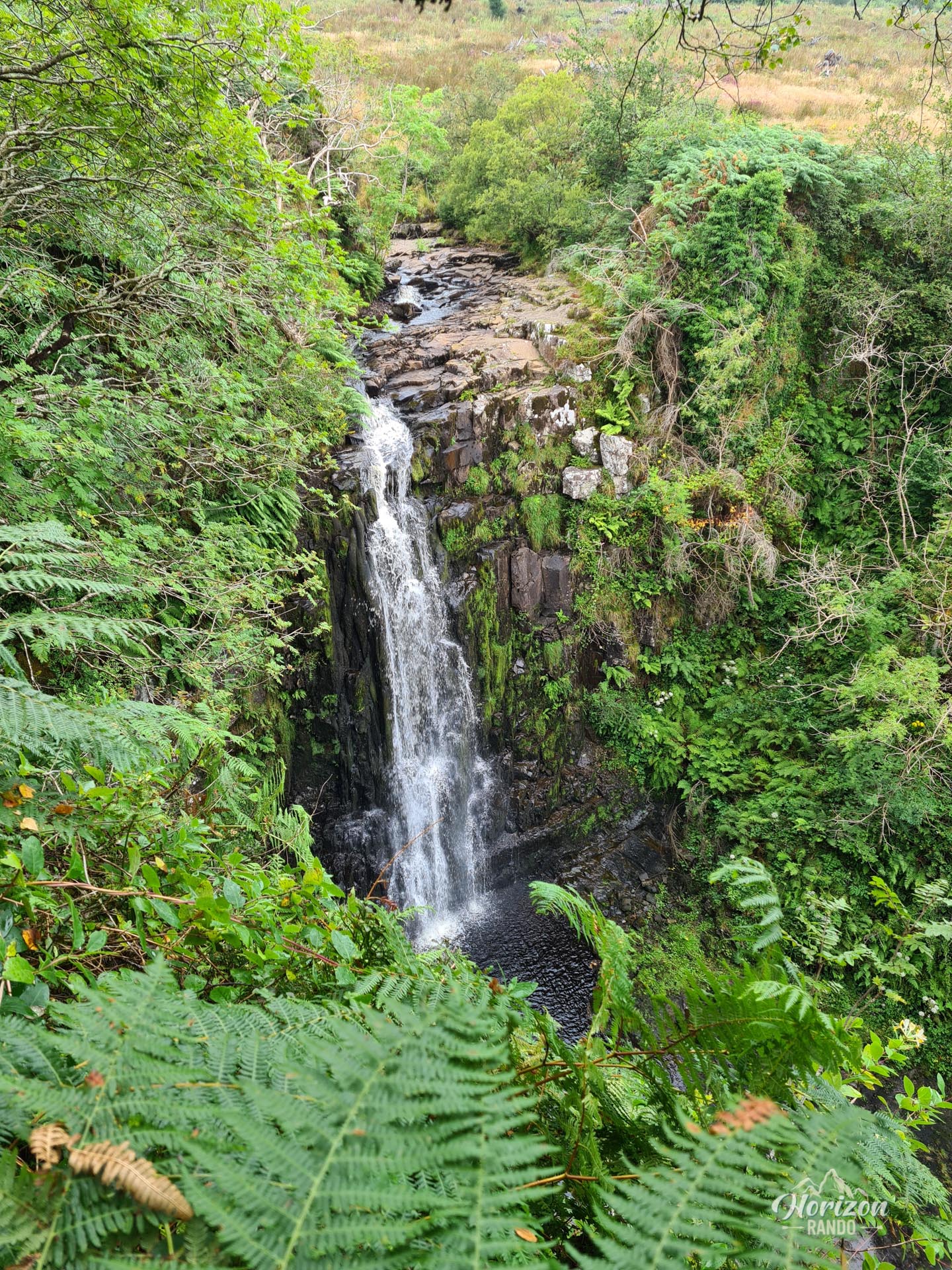
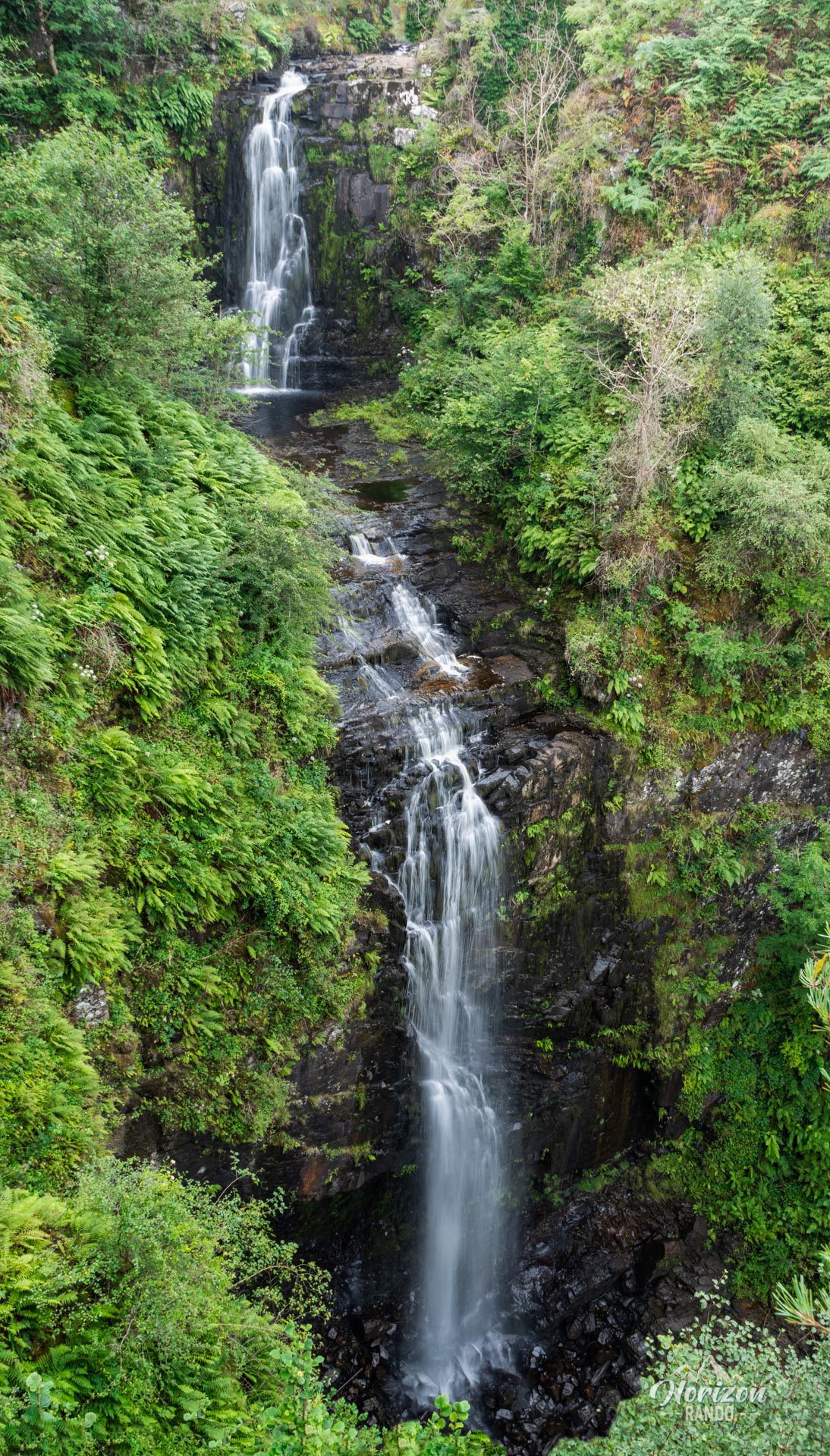
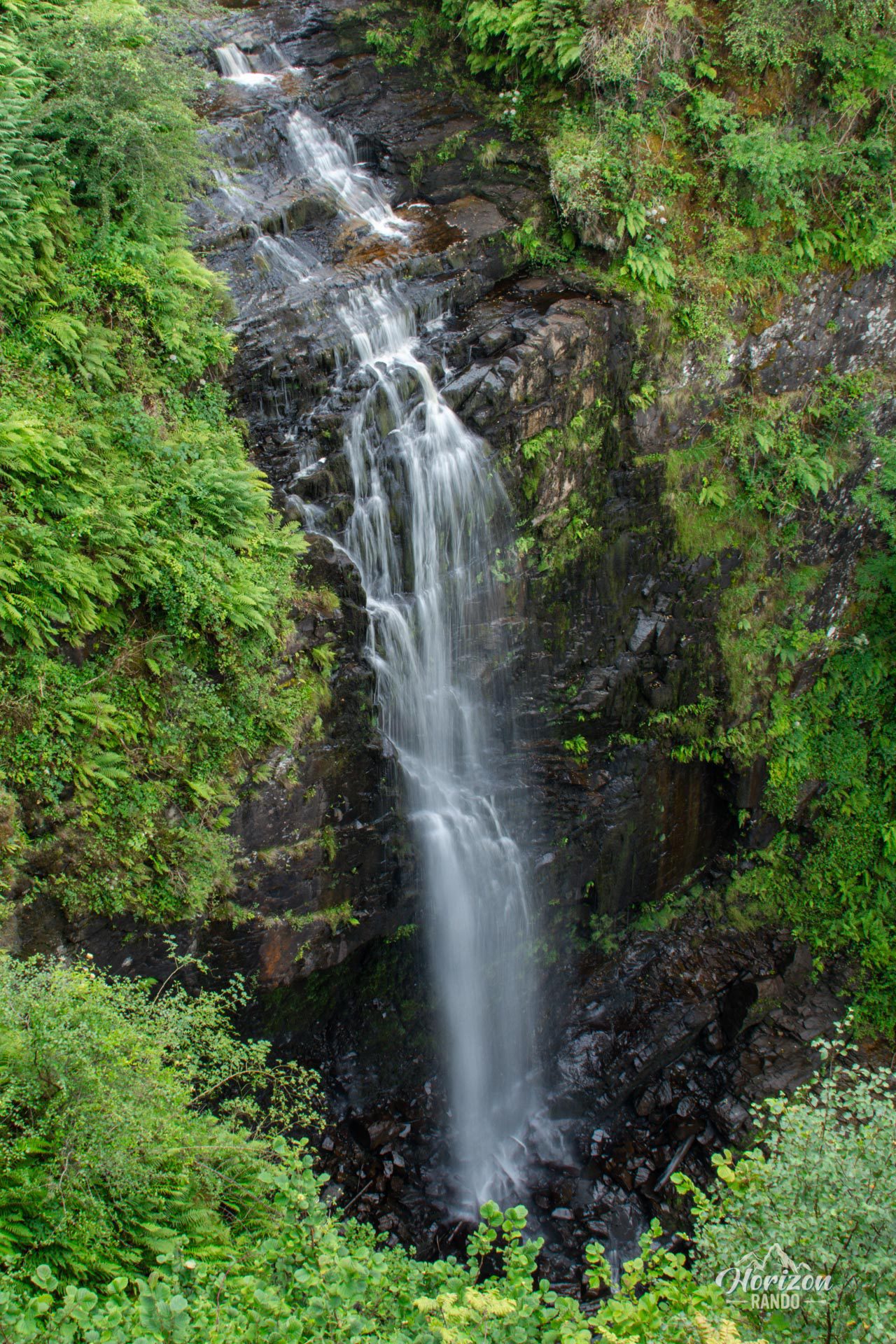
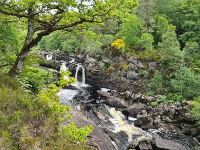
The Glenashdale Falls hike takes you to the highest and most spectacular waterfalls on the Isle of Arran—a 45-meter double cascade plunging into an enchanting wooded setting.
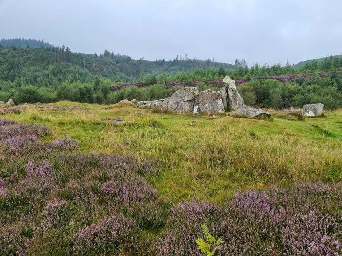
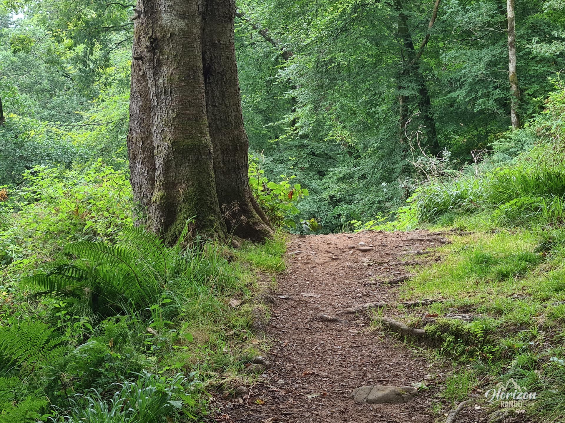
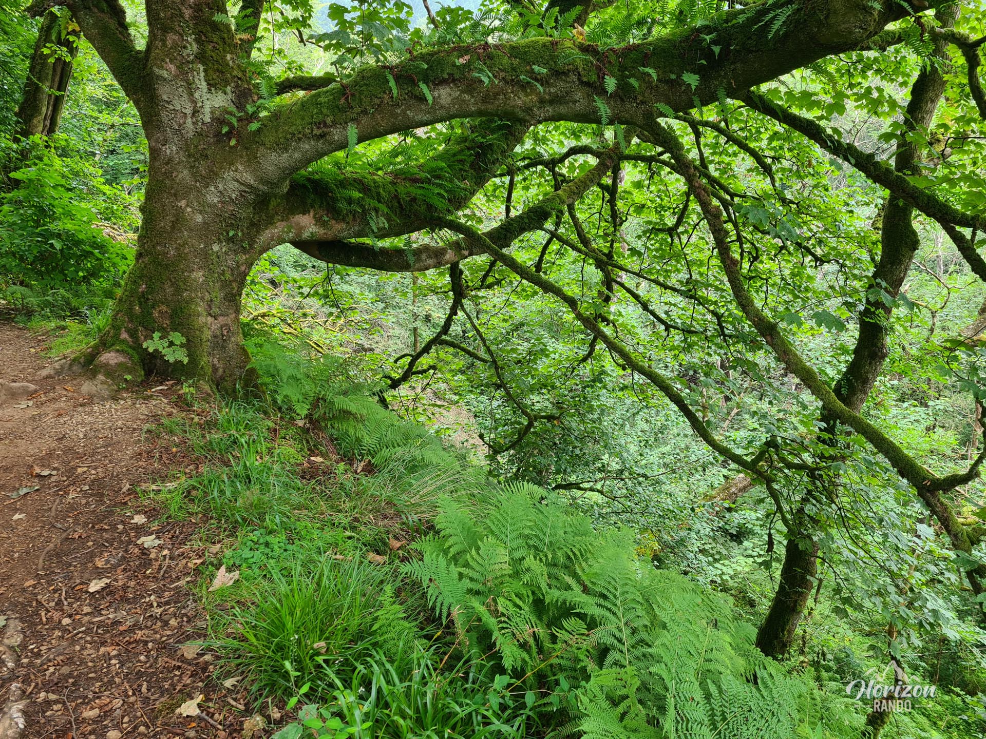
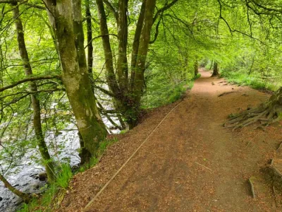
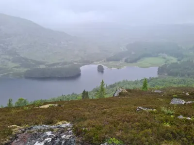
The loop trail passes through a beautiful mixed forest, home to a population of red squirrels, before revealing panoramic views of Whiting Bay and Holy Island from the Giant's Graves, impressive cairns dating back to the Neolithic period. Very accessible and well marked, this route appeals to families as well as hikers looking for photogenic views.
Map and elevation profile of the hike
Glenashdale Falls Hike
Difficulties of the hike
This hike is very easy and presents no technical difficulties. The only more demanding section is the climb to the Giant's Graves: a steep, winding path that steadily ascends, but remains accessible to all. The trail is of good quality and well marked, with clear signage at each intersection ensuring easy navigation.
What you'll love
- The impressive Glenashdale Falls (Eas a' Chrannaig in Gaelic): two viewing platforms offer spectacular views of this double waterfall, particularly majestic after heavy rain.
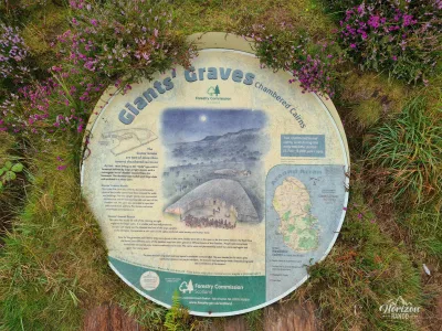
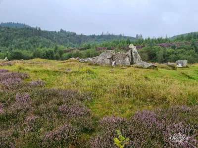
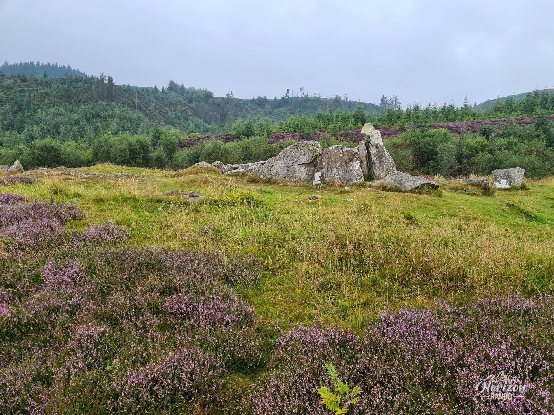
- The Giant's Graves: these Neolithic burial cairns are a fascinating archaeological site with magnificent views of Whiting Bay and Holy Island.
- An accessible and varied forest hike, ideal for observing local wildlife, including red squirrels. You may be lucky enough to spot one!
Practical information
Parking
Several free parking lots are available on either side of Ashdale Bridge at the southern end of Whiting Bay. The trailhead is clearly marked on the south side of the bridge and has information boards about the site and the hikes on offer.
Direction of the route
I recommend following the loop clockwise and saving the impressive Glenashdale Falls for last. Start the climb right from the beginning.
Photos
See all 8 photos →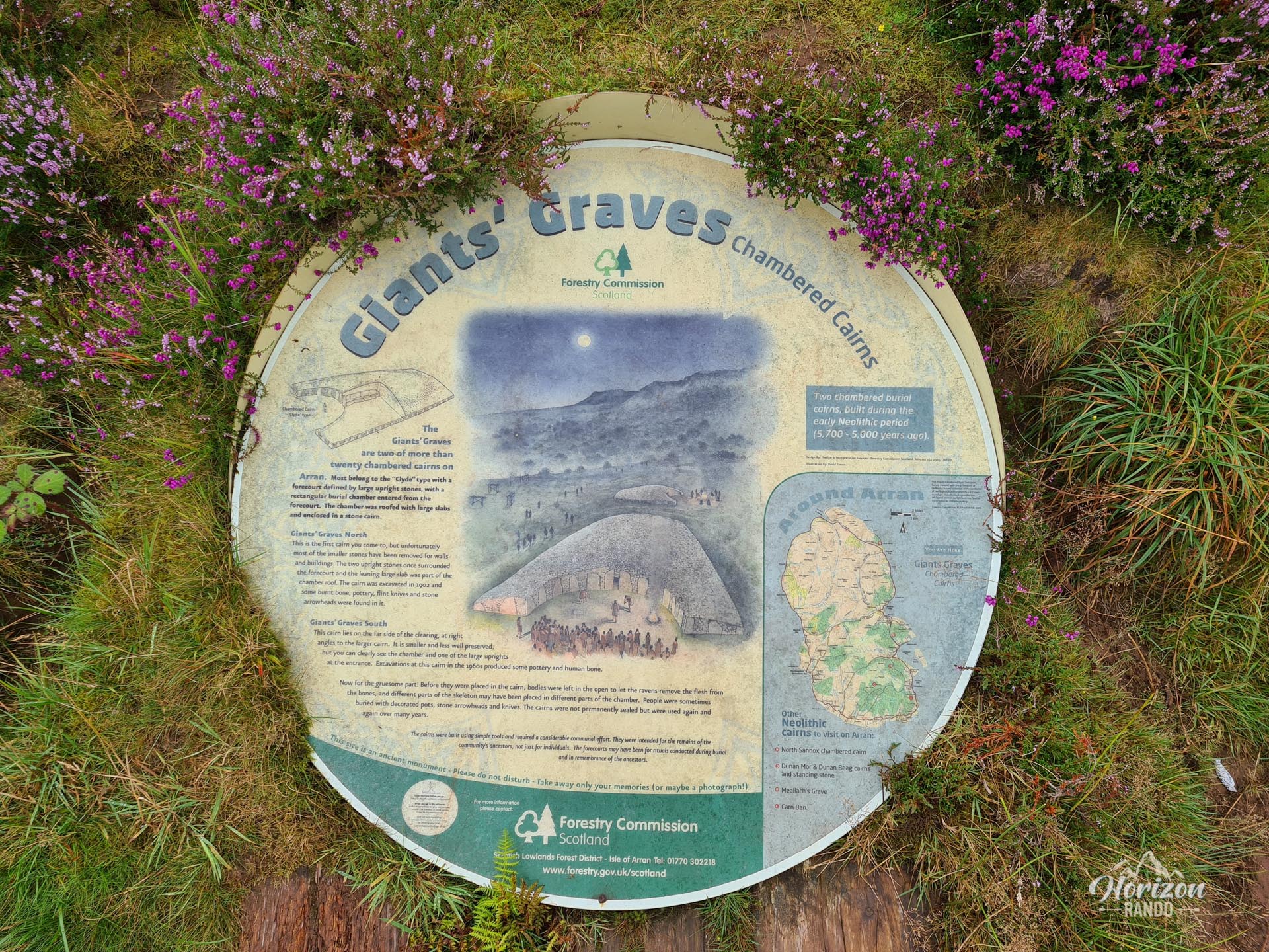
More hikes to do in Scotland
Nearby hikes






Printed from www.horizonrando.fr/en/scotland/glenashdale-falls/