





Mullach Buidhe Hike
Key facts about the hike
- Difficulty
- Hard Hikes are rated from very easy to very hard: my difficulty scale
- Duration
- 6h Estimated time, short breaks included (photos, water, snacks), picnic not included: how it is calculated
- Distance
- 14.2km
- Elevation gain
- 880m
- Type of route
- Loop
- Maximum altitude
- 721 m
- Vertiginous Five levels, depending on how exposed the route is: the levels in detail
- Slightly
- Marked
- No
- Popularity
- Low
- Region
- Isle of Arran
- Start point
- 55.64436, -5.38298
- Activity
- Hiking
Hike overview
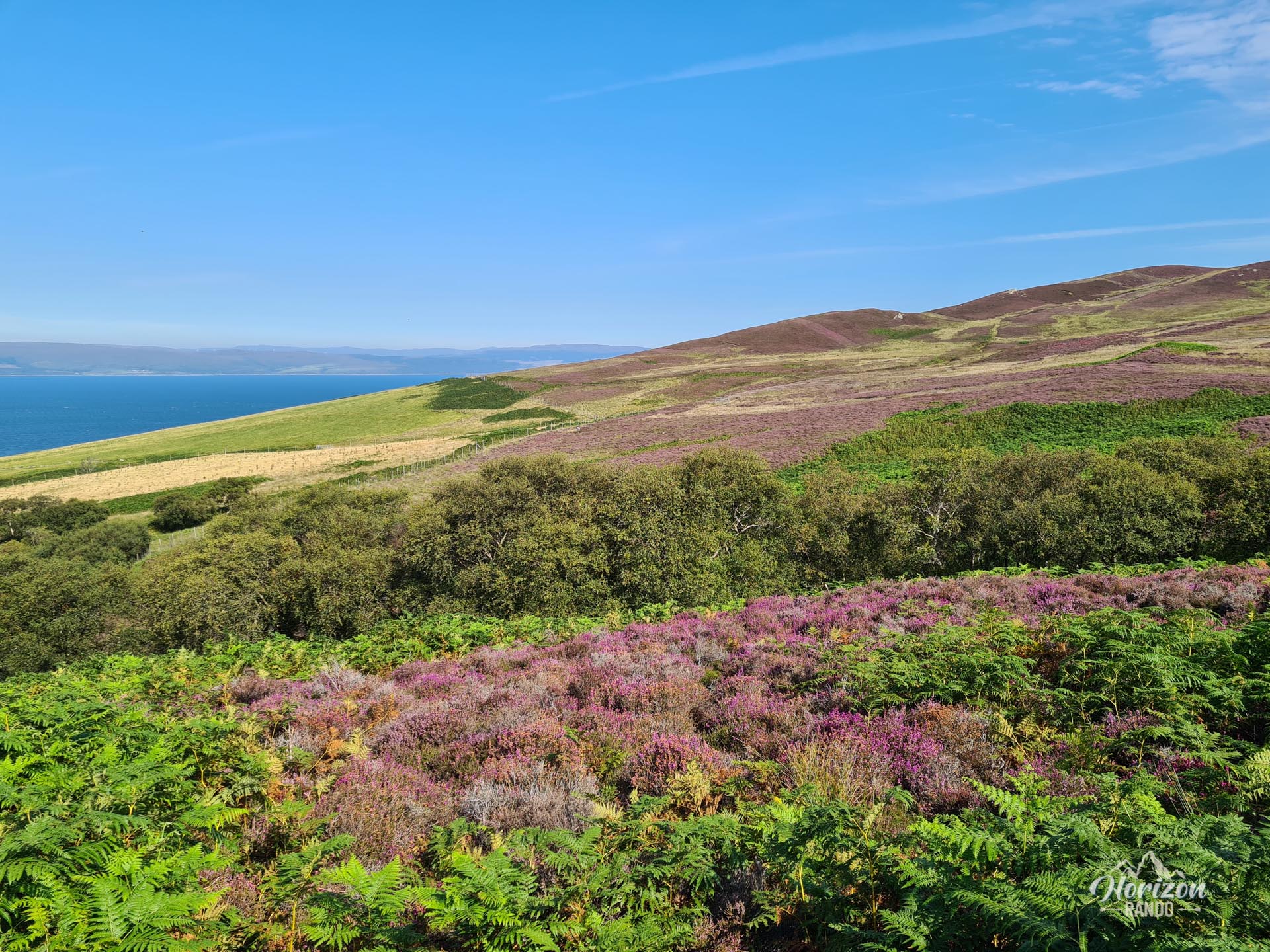
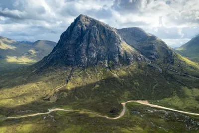
The Mullach Buidhe hike takes you to the heart of the little-known and peaceful Pirnmill Hills mountain range in the west of the Isle of Arran in Scotland. Mullach Buidhe, meaning "yellow peak" in Gaelic, rises to 721 meters and is the highest point in the Beinn Bharrain range.
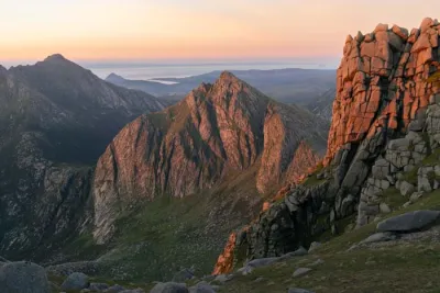
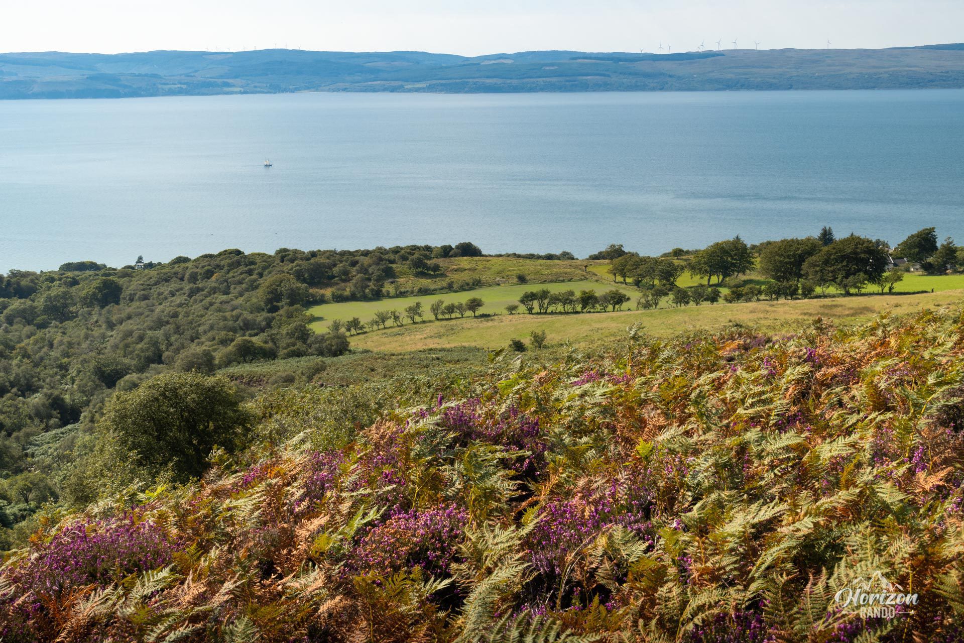
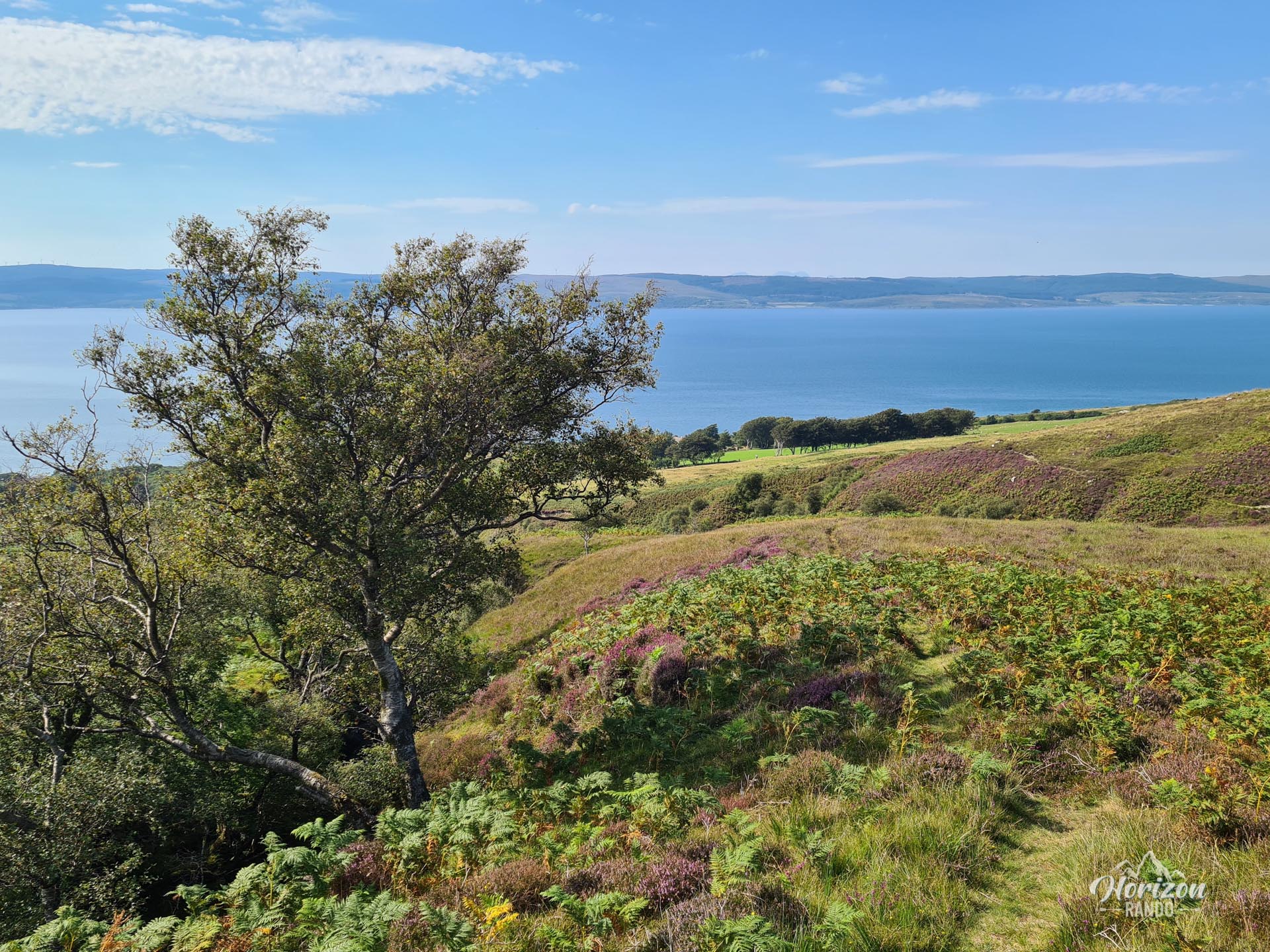
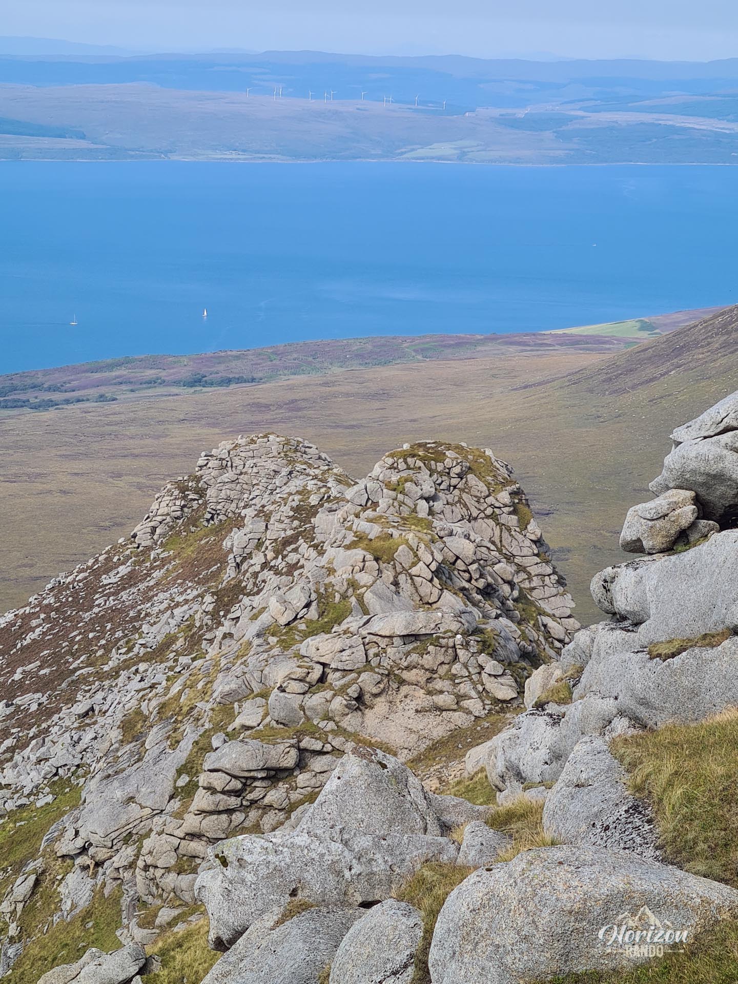
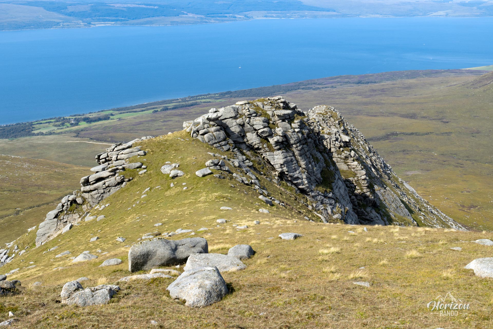
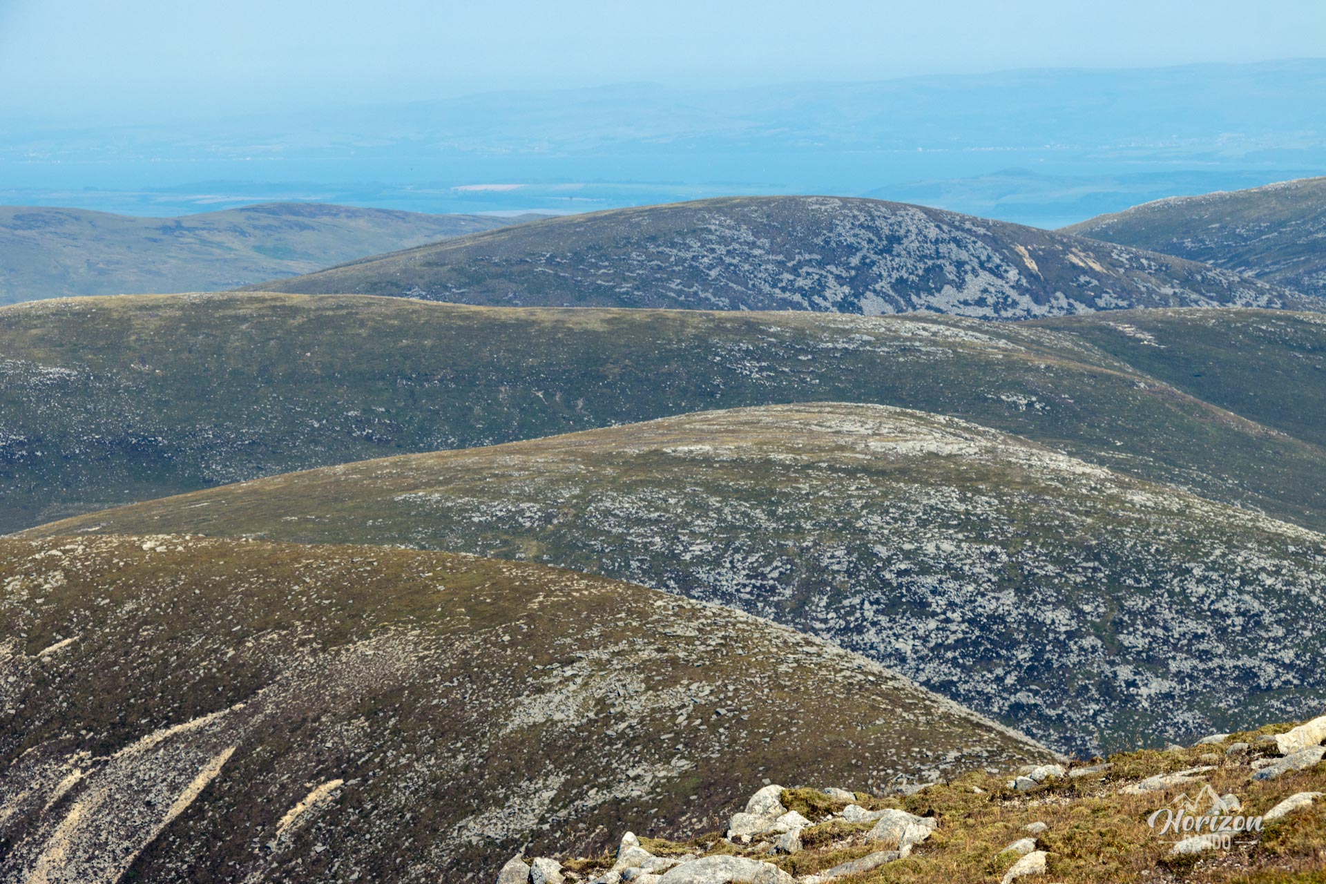
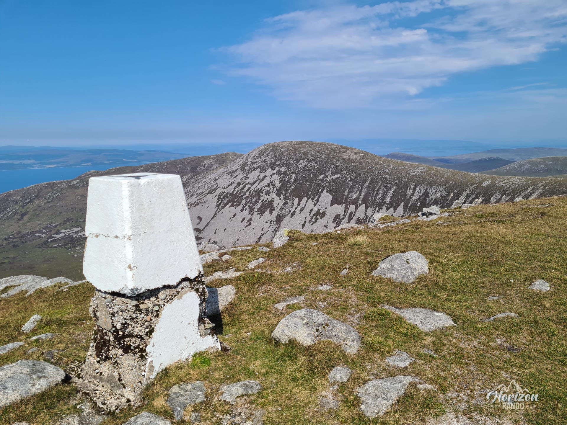
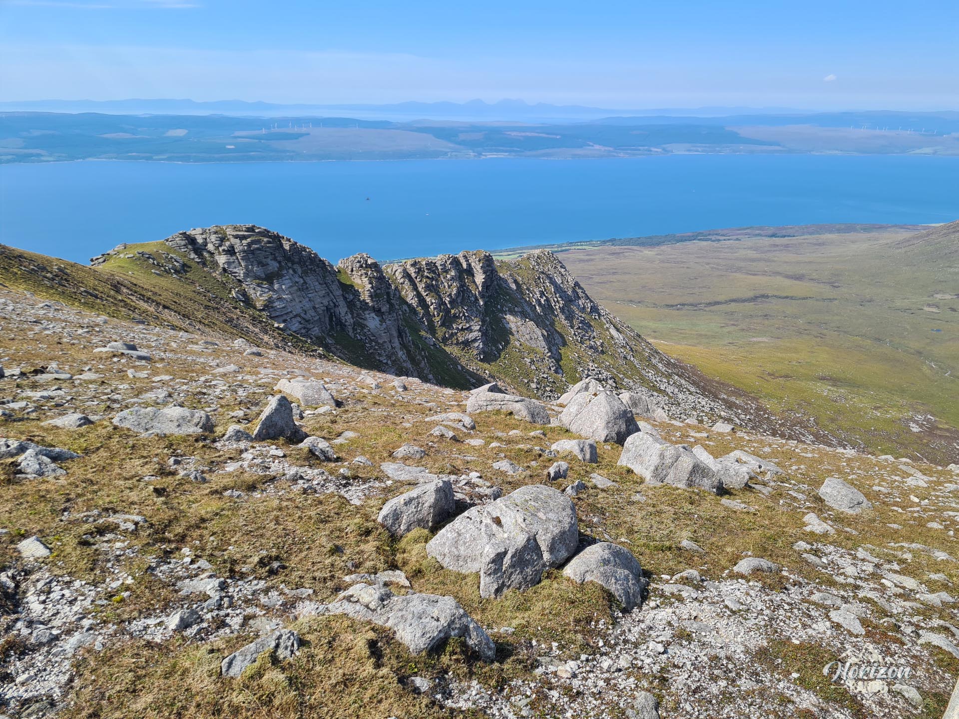
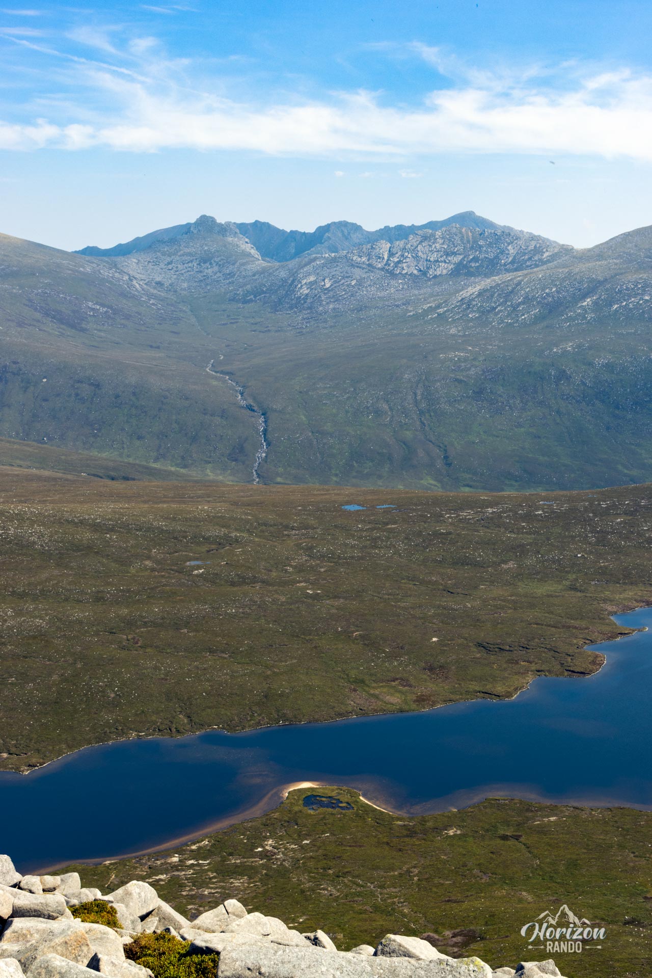
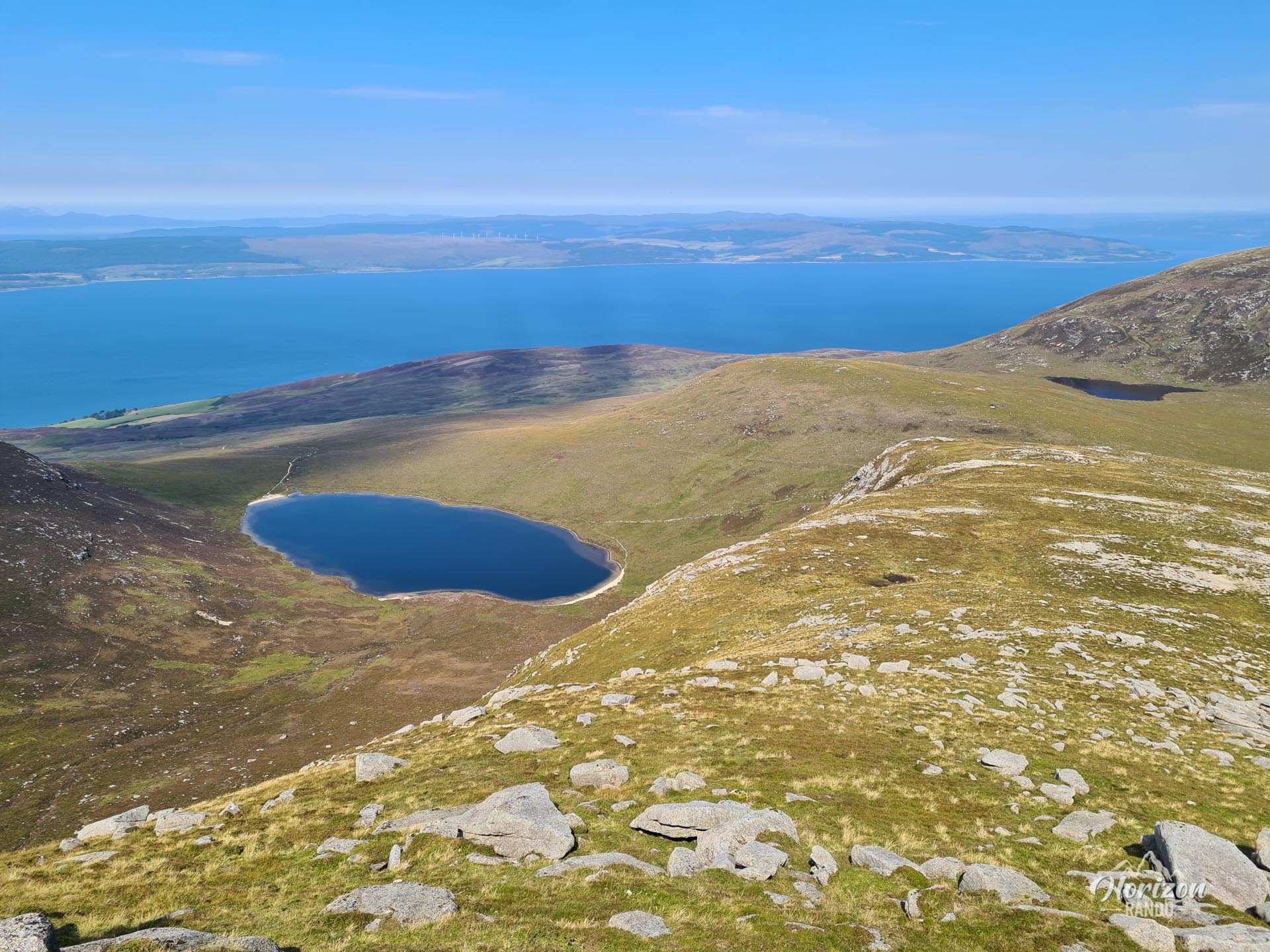
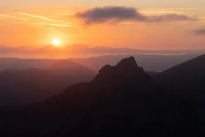
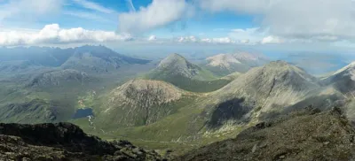
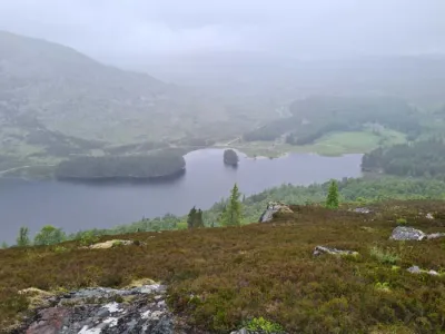
Unlike the rugged mountains in the eastern part of the island, which attract most hikers, these rounded hills offer an authentic experience far from the beaten path. The panoramic views from the summit are well worth the effort. To the west, the view plunges down to the Kilbrannan Sound and the Kintyre Peninsula. To the east, the majestic Arran main range unfolds.
Map and elevation profile of the hike
Mullach Buidhe Hike
Description and difficulties of the hike
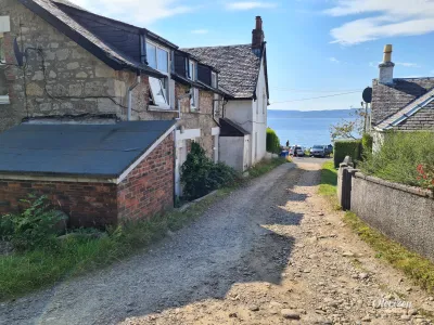
The hike presents a moderate physical difficulty, with an elevation gain of 880 meters over 14 kilometers. The trail, which is excellent at the beginning and end of the route, becomes less visible as you gain altitude. Navigation can be tricky in poor visibility, especially on the plateau and ridges, where the lack of markings and well-defined trails requires good map-reading skills or the use of a GPS.
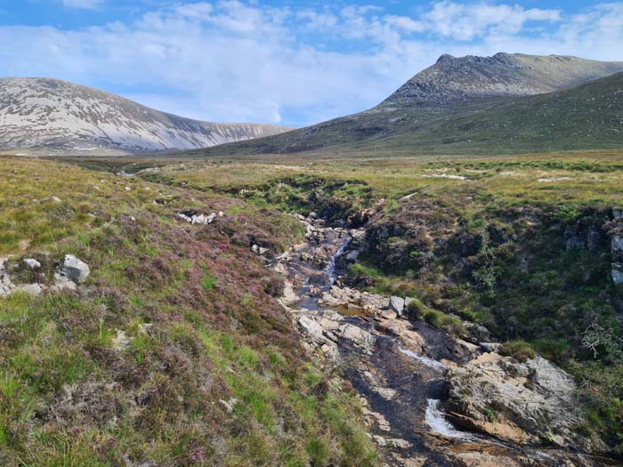
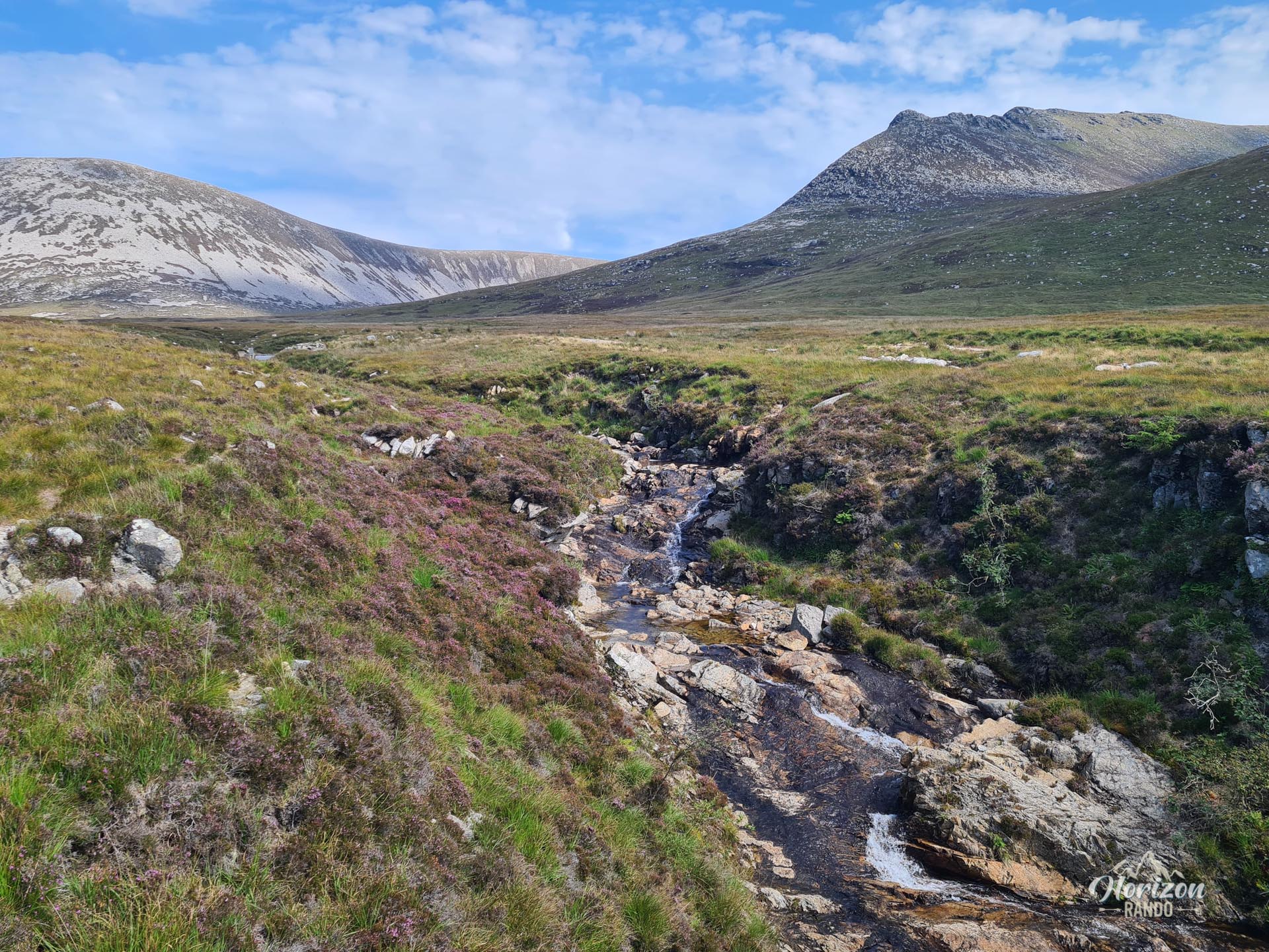
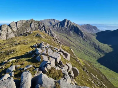
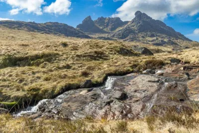
After following the Allt Gobhlach stream to the waterfall, you will reach a slightly marshy plateau. The final climb to the summit of Mullach Buidhe is on an increasingly steep slope and becomes rocky at the top of the ridge. There are two options for the final ascent: you can follow the ridge directly to the summit, which requires some scrambling, or you can take a bypass route on the west side of the mountain to avoid the last rocky outcrop (the GPS track takes this second option).
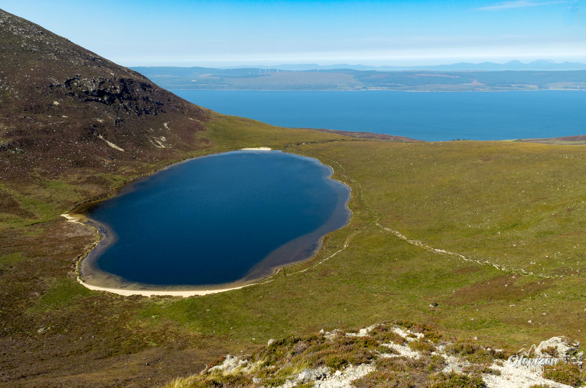
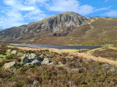
The route continues with an easy ridge traverse to the nearby summit of Beinn Bhreac before descending to Coire Fhionn Loch. The final leg of the journey is along a small road for about two kilometers.
What you'll love
- Spectacular 360-degree views from the summit: Breathtaking vistas of the Kilbrannan Sound and the Kintyre Peninsula to the west (the Paps of Jura are sometimes visible on clear days) and the majestic eastern mountains of Arran to the east.
- The pleasant ridge walk to Beinn Bhreac (711 m) on the way back offering beautiful views on both sides.
- A wild and authentic atmosphere: These uncrowded hills offer true immersion in nature.
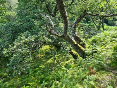
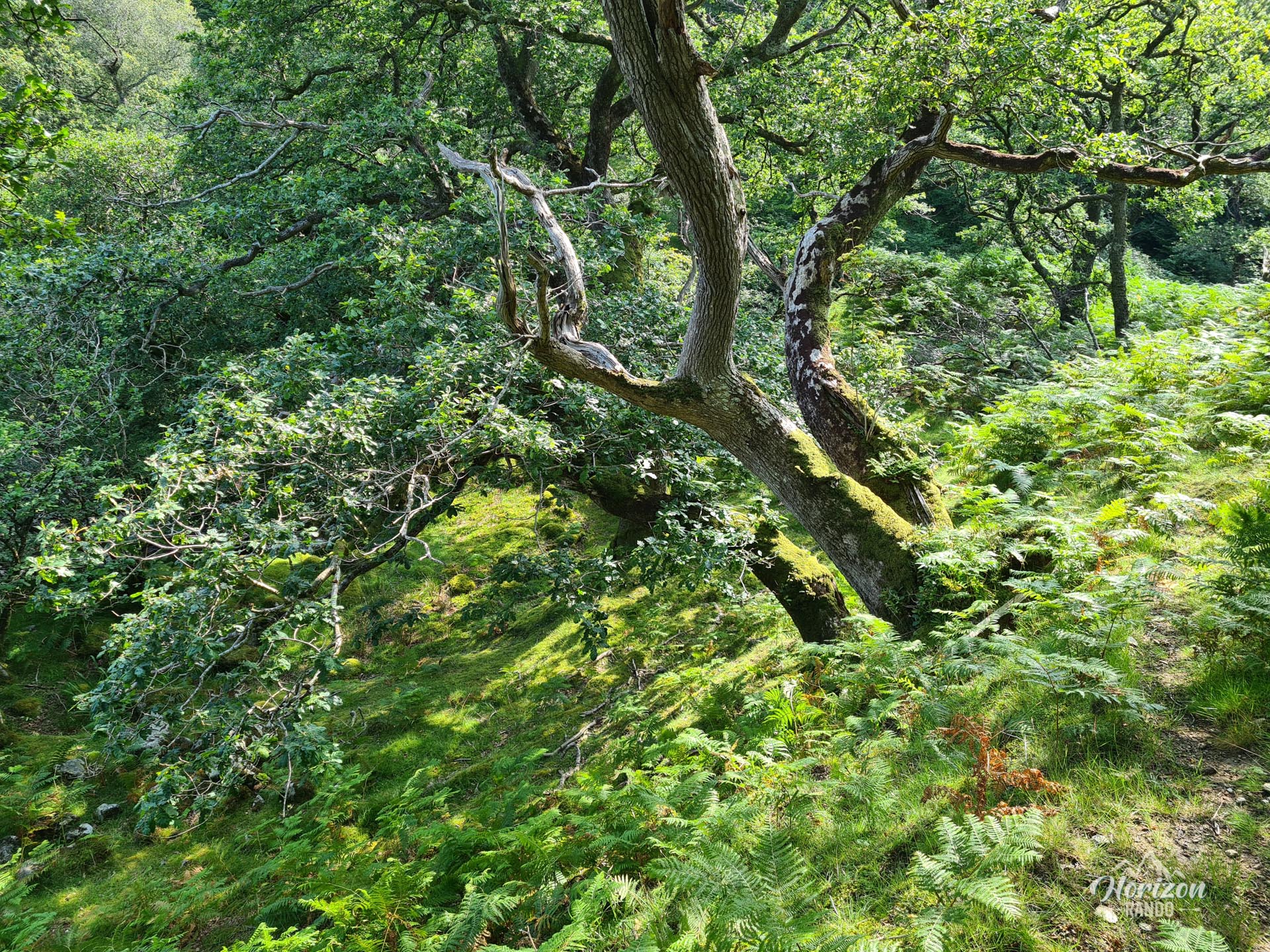
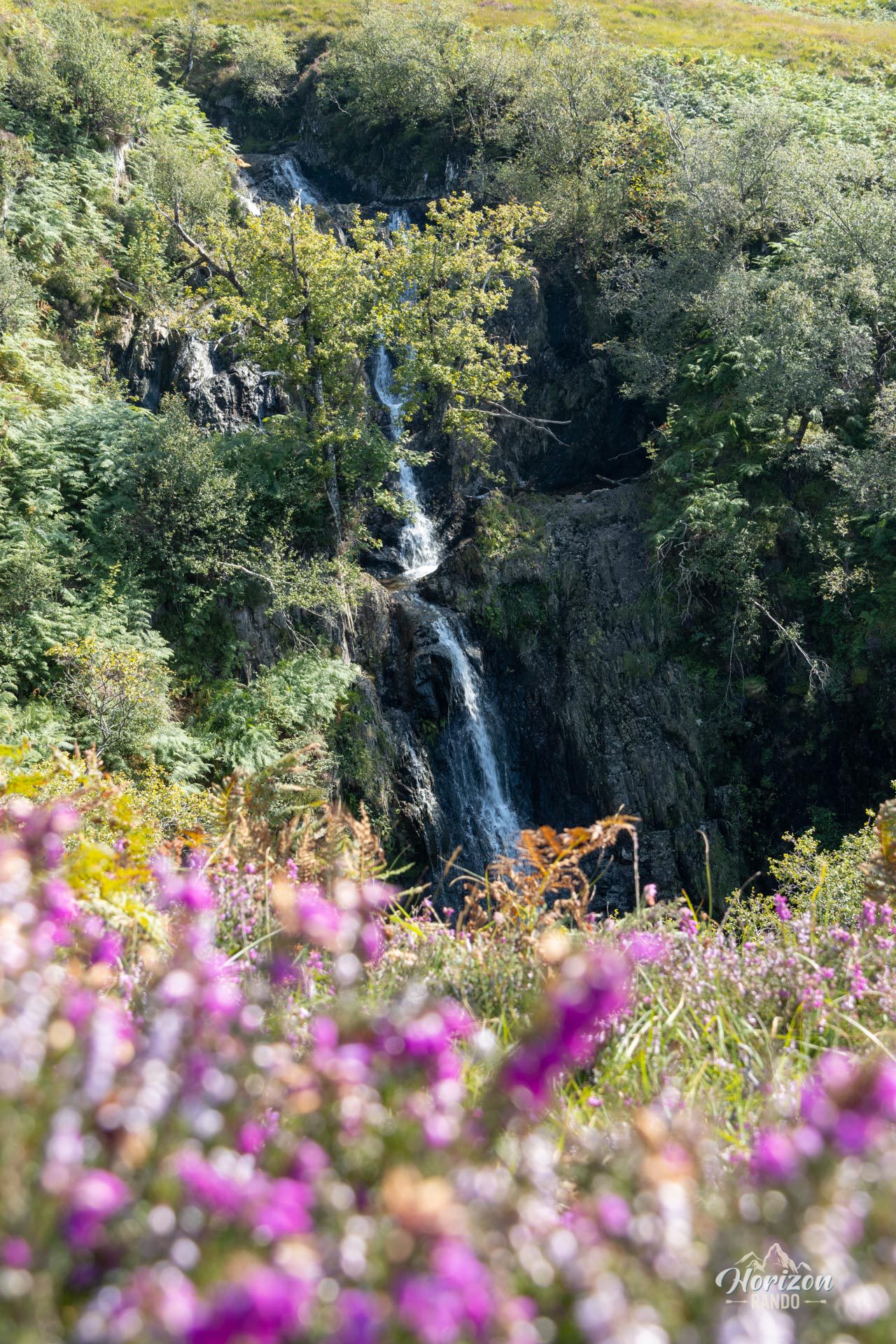
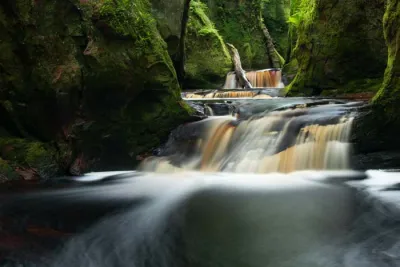
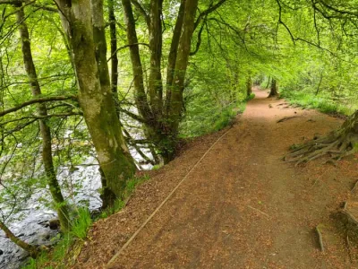
- The charm of the initial route through the birch forest, enhanced by a beautiful waterfall on the Allt Gobhlach.
Photos
See all 23 photos →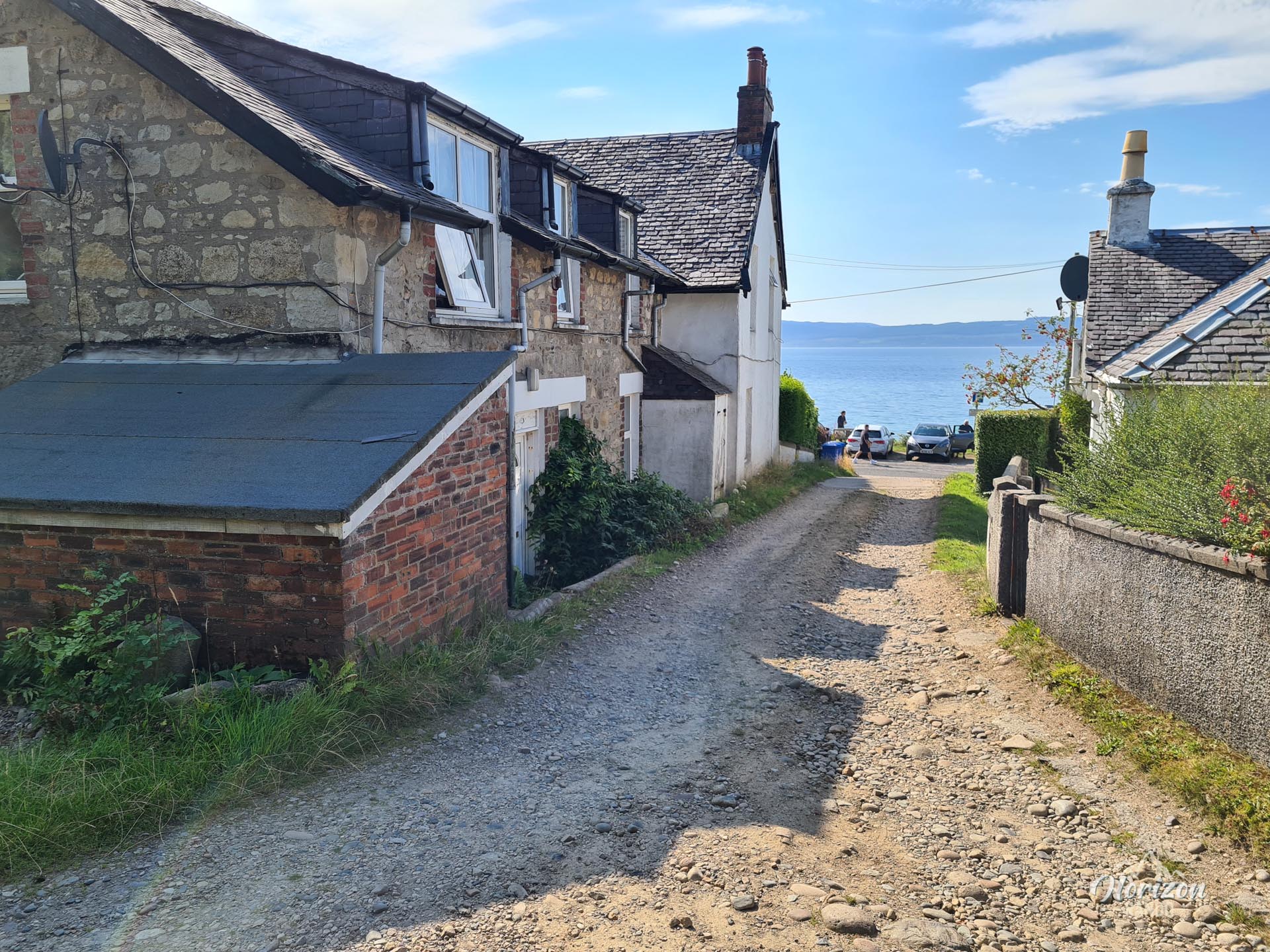
More hikes to do in Scotland
Nearby hikes






Printed from www.horizonrando.fr/en/scotland/mullach-buidhe/