





Monte Renoso Hike
Key facts about the hike
- Difficulty
- Moderate Hikes are rated from very easy to very hard: my difficulty scale
- Duration
- 3h45 Estimated time, short breaks included (photos, water, snacks), picnic not included: how it is calculated
- Distance
- 7.9km
- out and back
- Elevation gain
- 660m
- Type of route
- Out and back
- Maximum altitude
- 2,352 m
- Vertiginous Five levels, depending on how exposed the route is: the levels in detail
- Slightly
- Marked
- No
- Popularity
- Moderate
- Region
- Center
- Start point
- 42.07741, 9.14748
- Activity
- Hiking
Hike overview
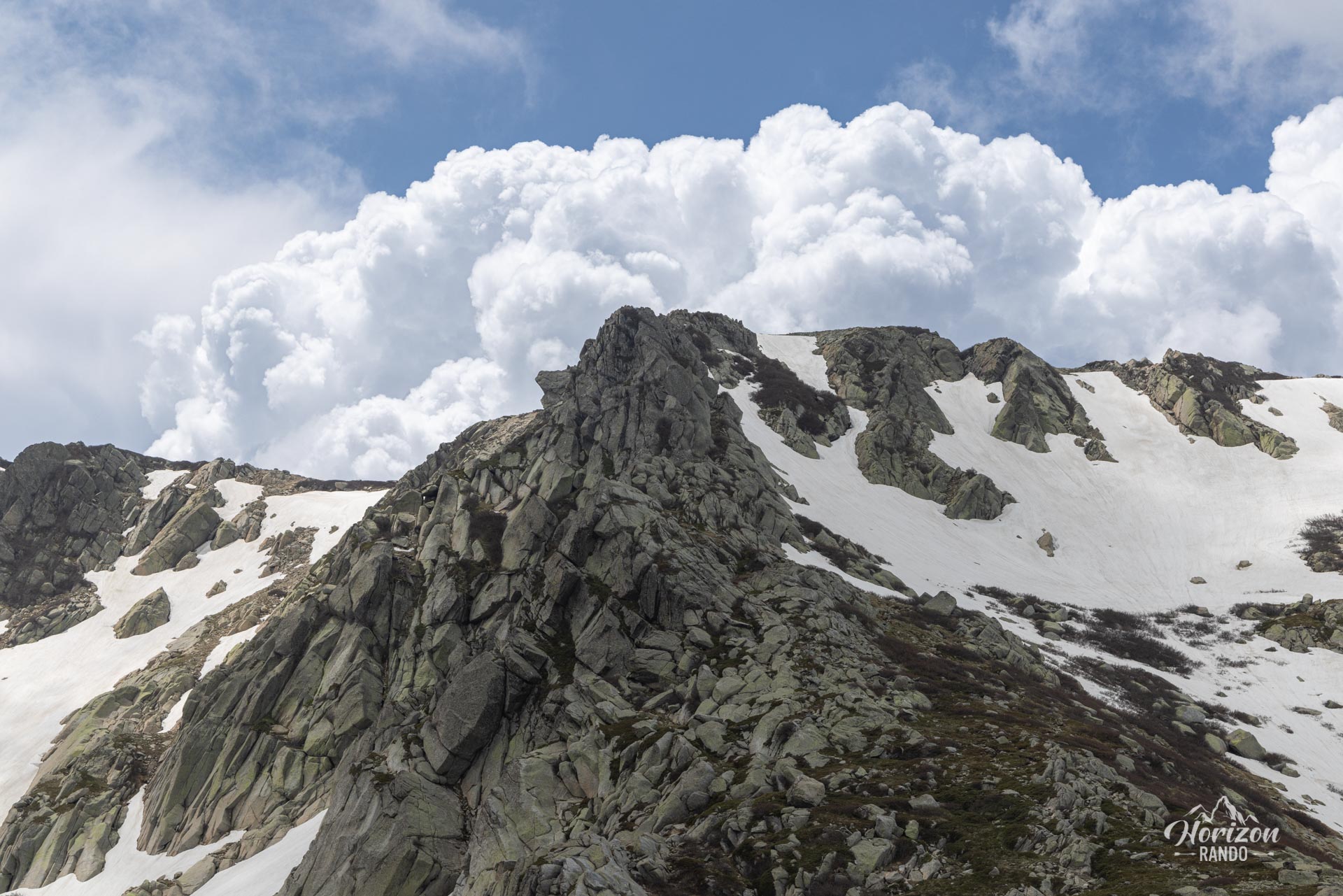
Prepare for an unforgettable hike to the 2,352-meter summit of Monte Renoso. Due to the high starting point of the small Capannelle-Ghisoni ski resort, which sits at an elevation of over 1,600 meters, the elevation gain on this hike is relatively low. This makes Monte Renoso one of the most accessible 2,000-meter peaks in Corsica.
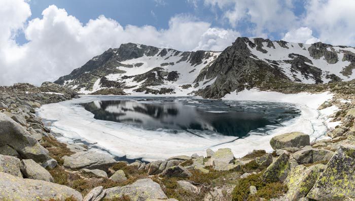
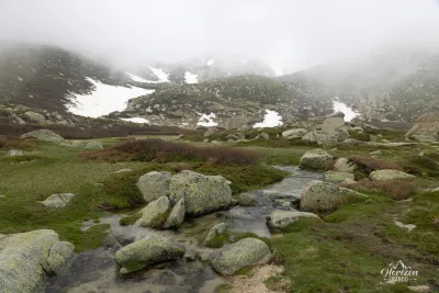
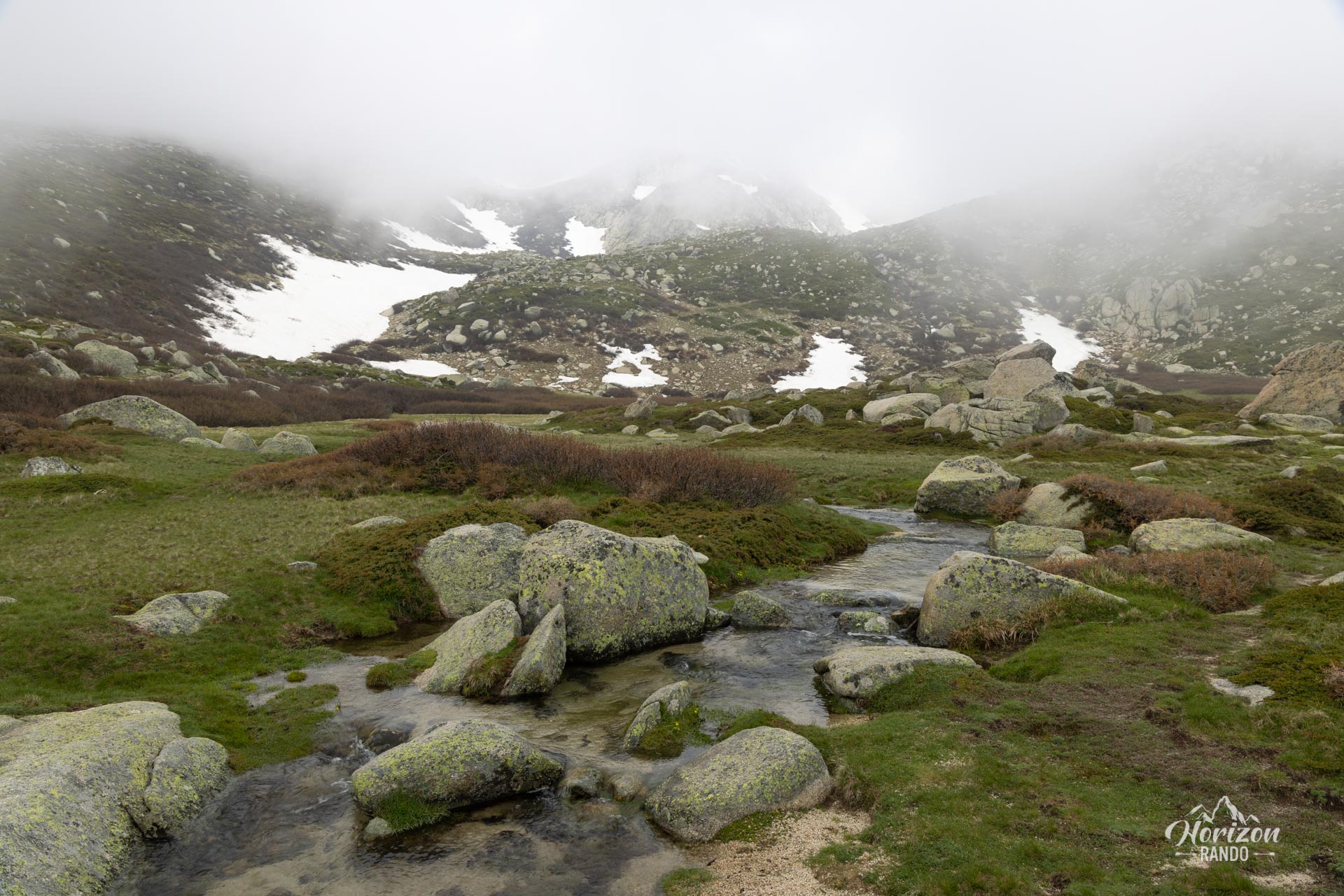
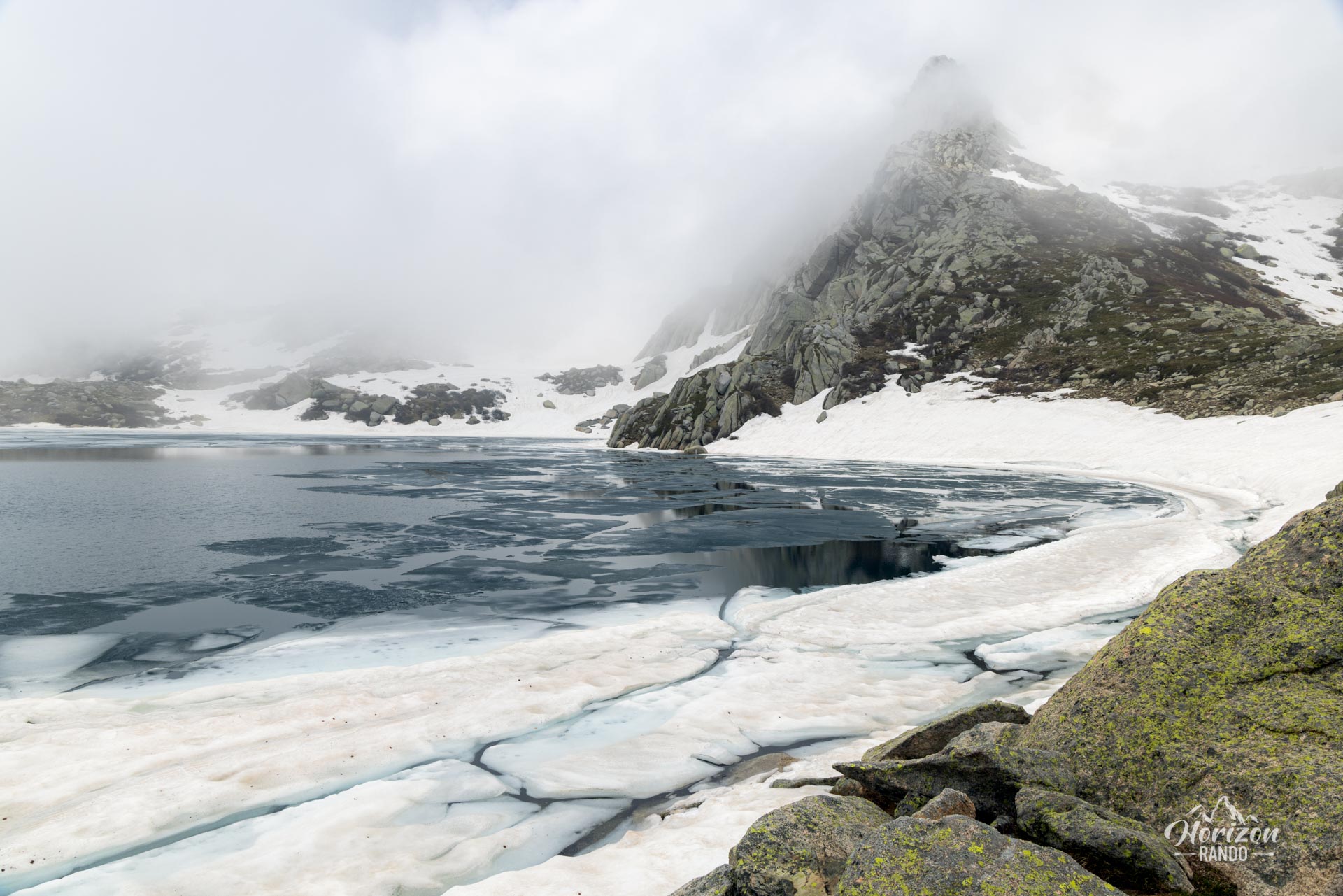
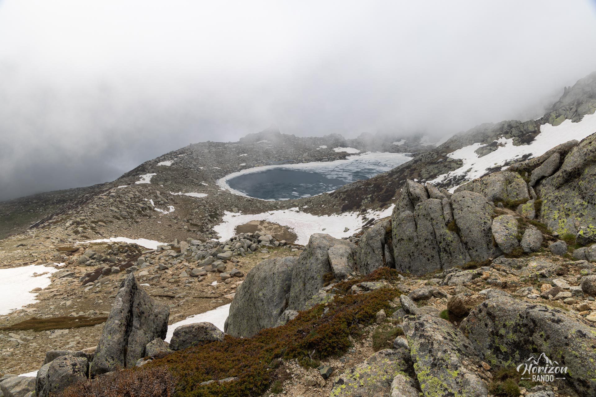
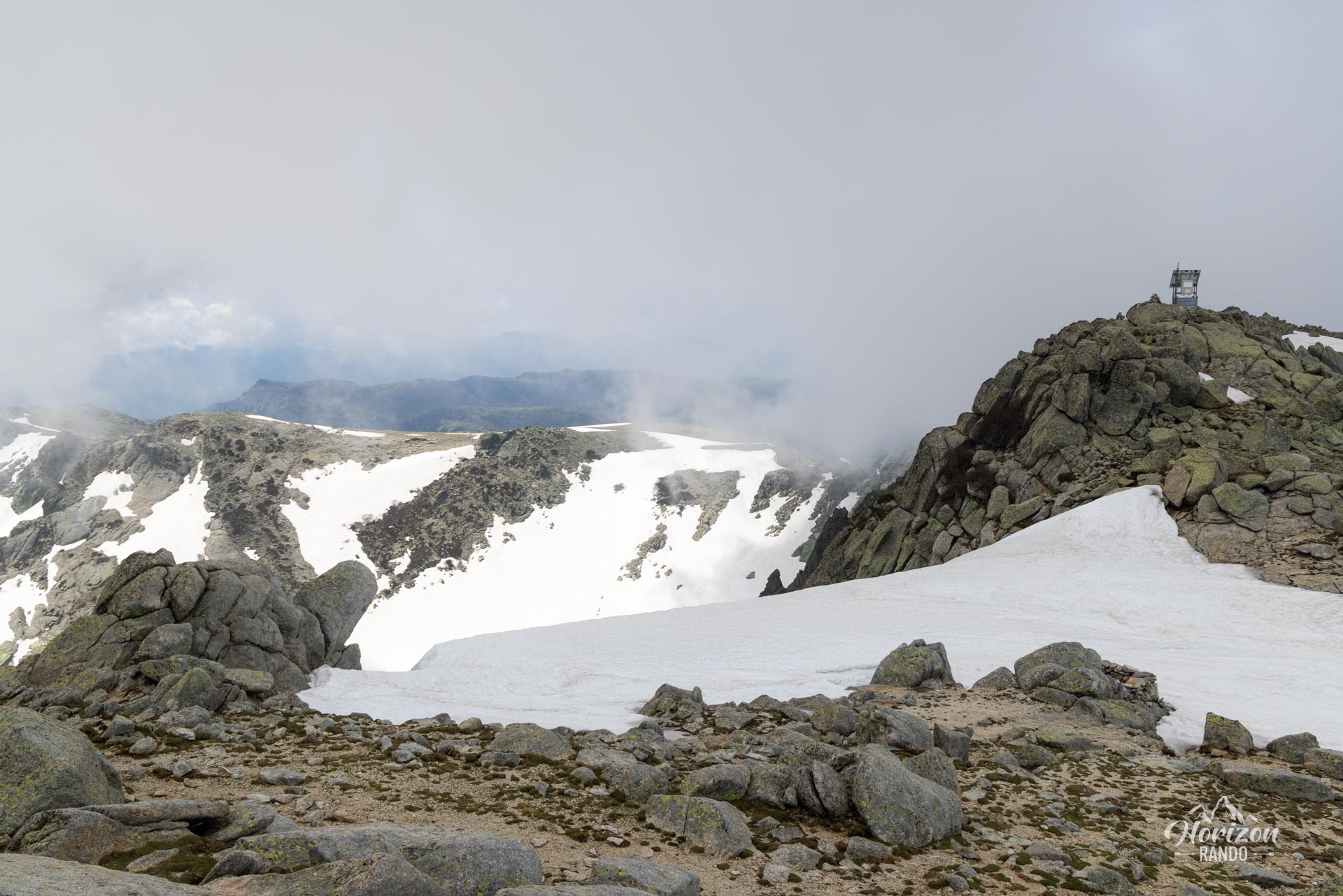
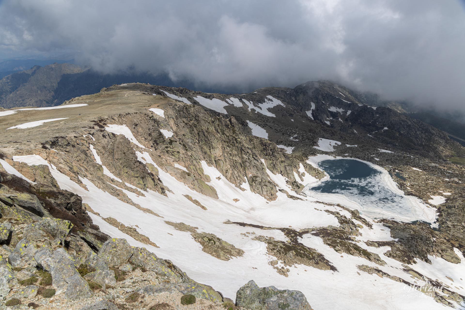
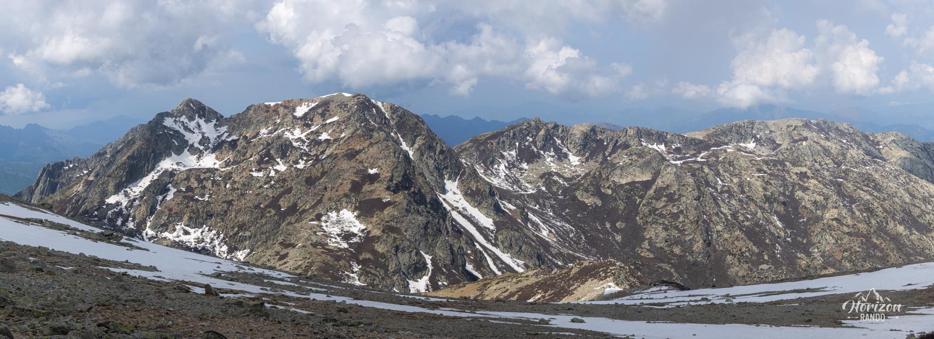
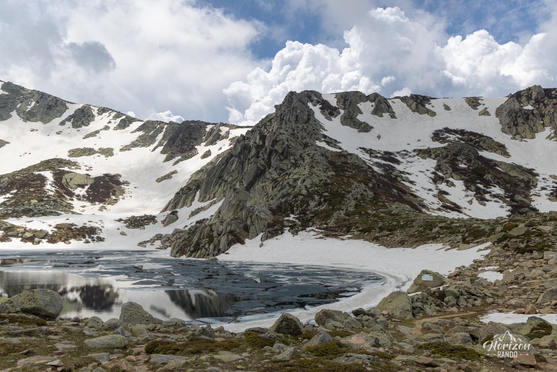
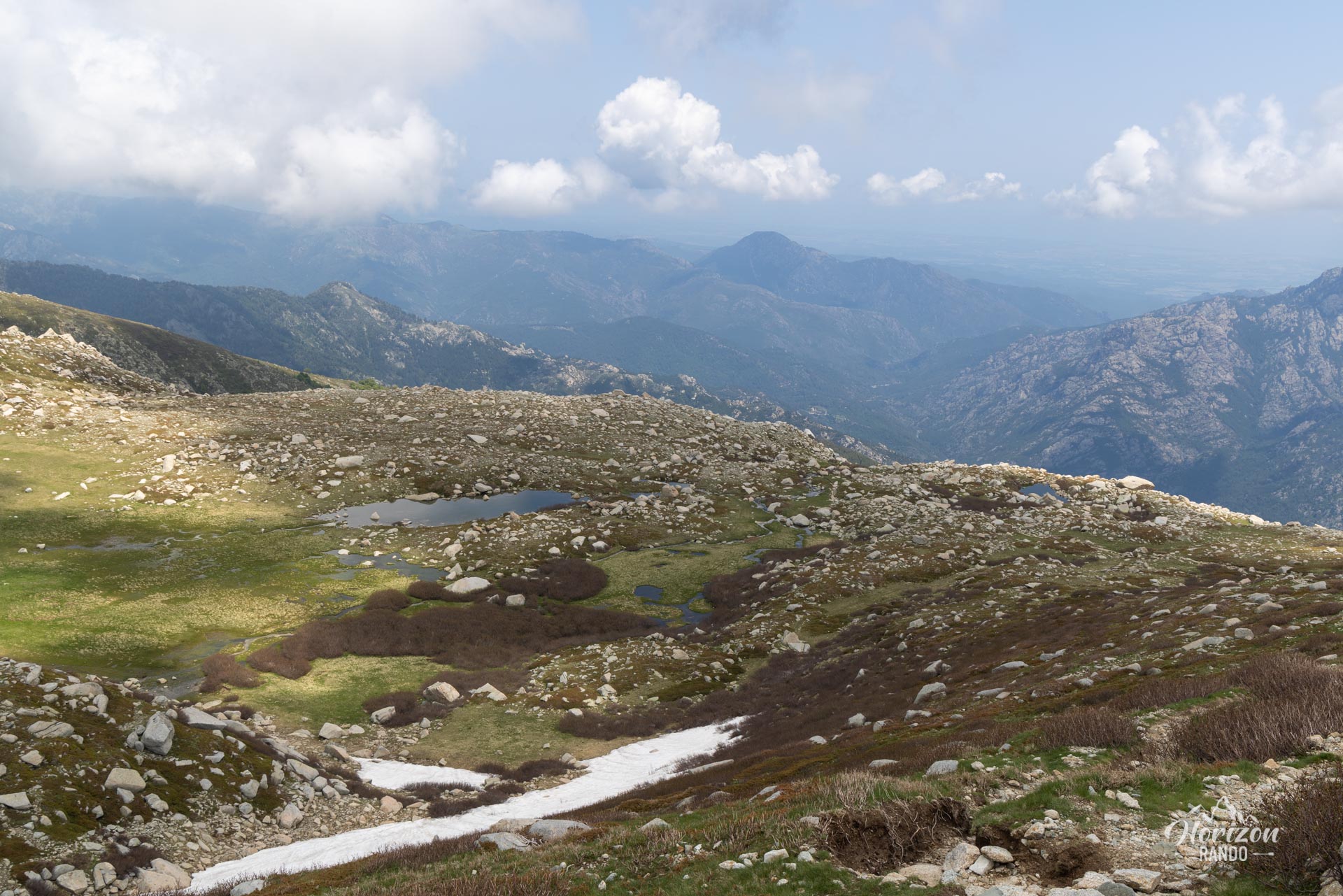
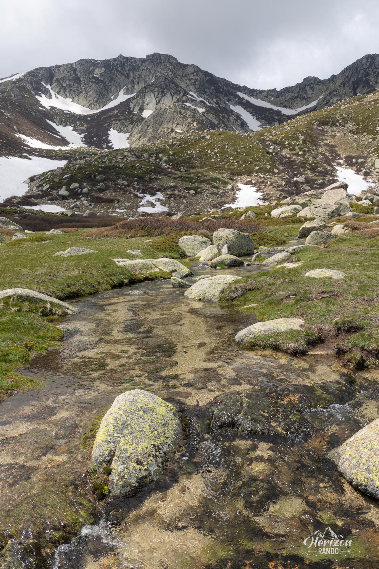
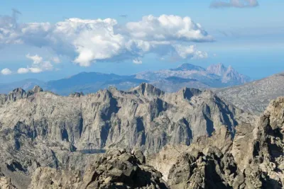
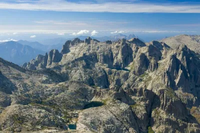
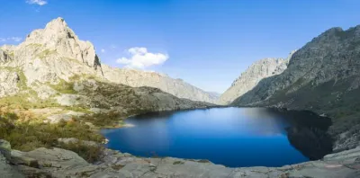
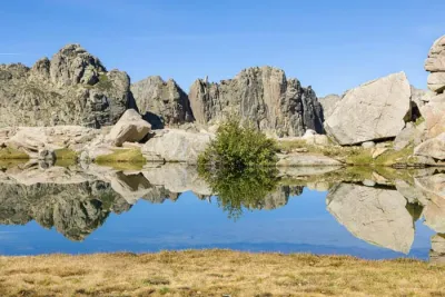
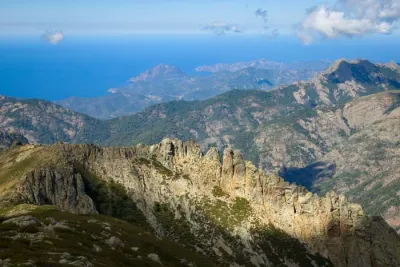
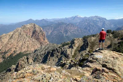
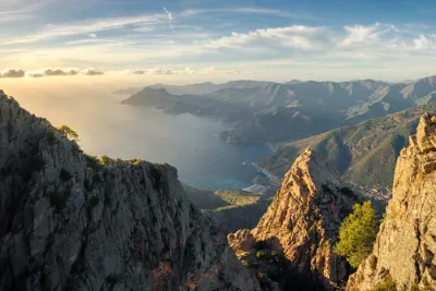
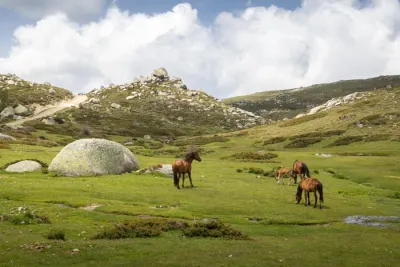
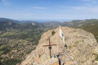
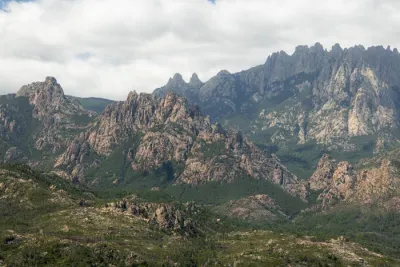
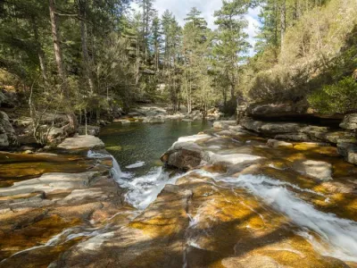
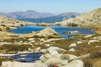
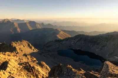
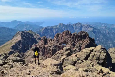
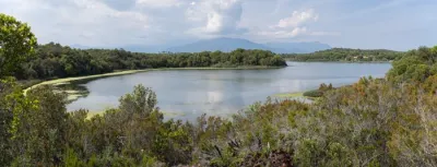
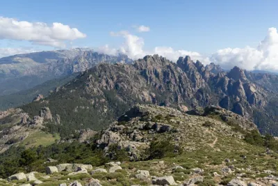
At the summit, you will be rewarded with an exceptional 360° panorama. On a clear day, you can see the Mediterranean Sea to the east and west, as well as the great peaks of central Corsica. The route passes through magnificent landscapes, including the green pozzines of the Pizzolo stream and the stunning Lake Bastani.
Map and elevation profile of the hike
Monte Renoso Hike
Difficulties of the hike
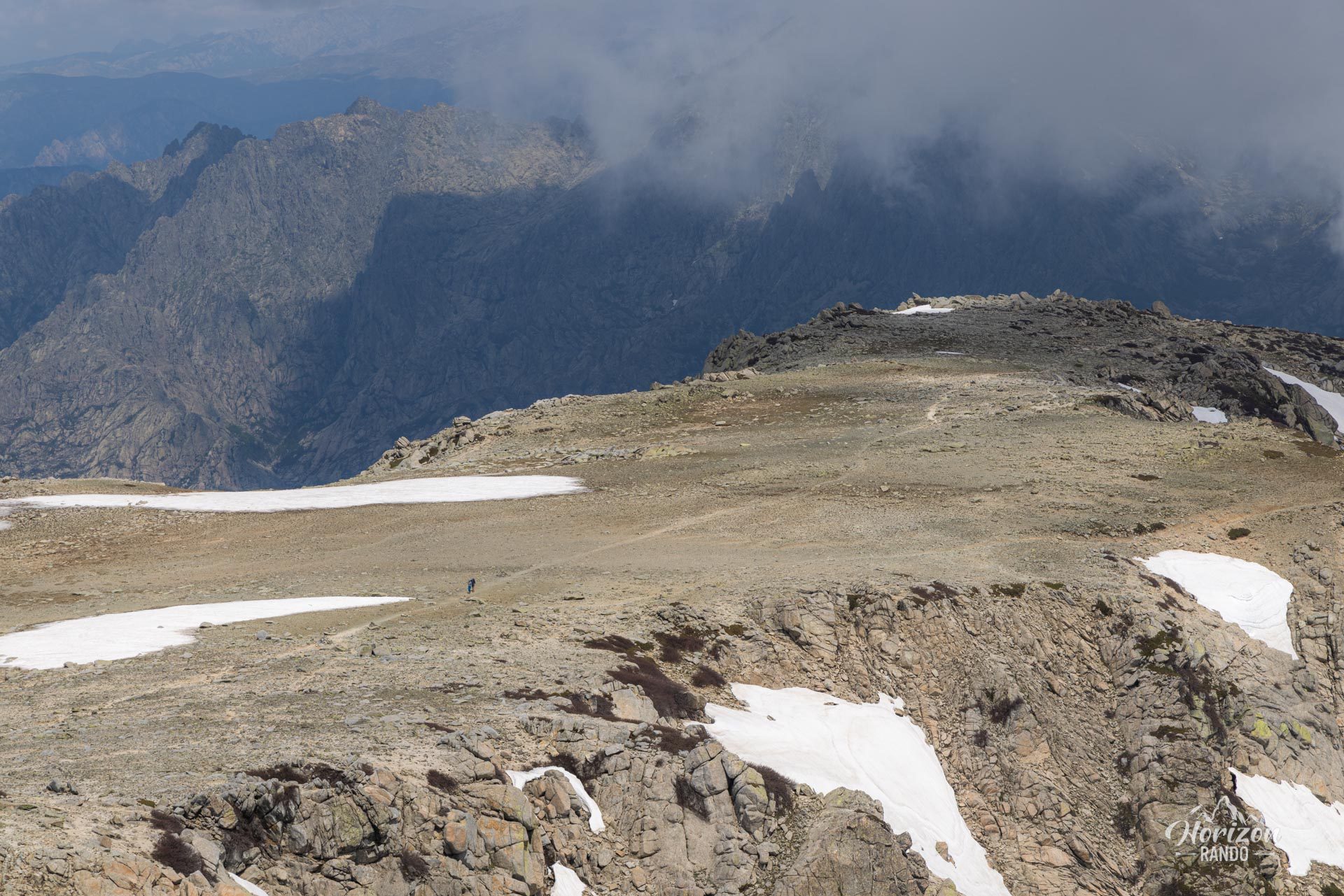
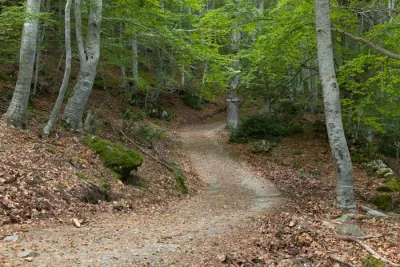
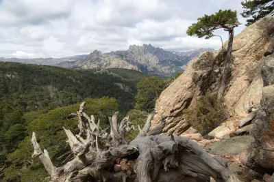
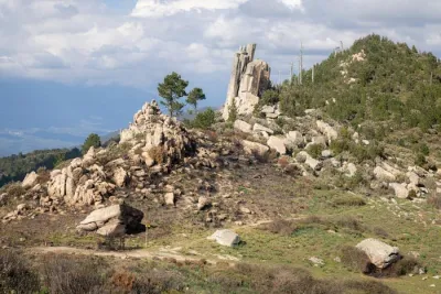
Although this route is not marked, you will be walking on a well-defined hiking trail. Just make sure you follow the cairns to find your way. The trail is rocky but not particularly difficult.
What you'll love
- The magnificent panorama from the summit, which offers a 360° view of the highest peaks in Corsica. On a clear day, you can see the Mediterranean Sea on both sides of the island.
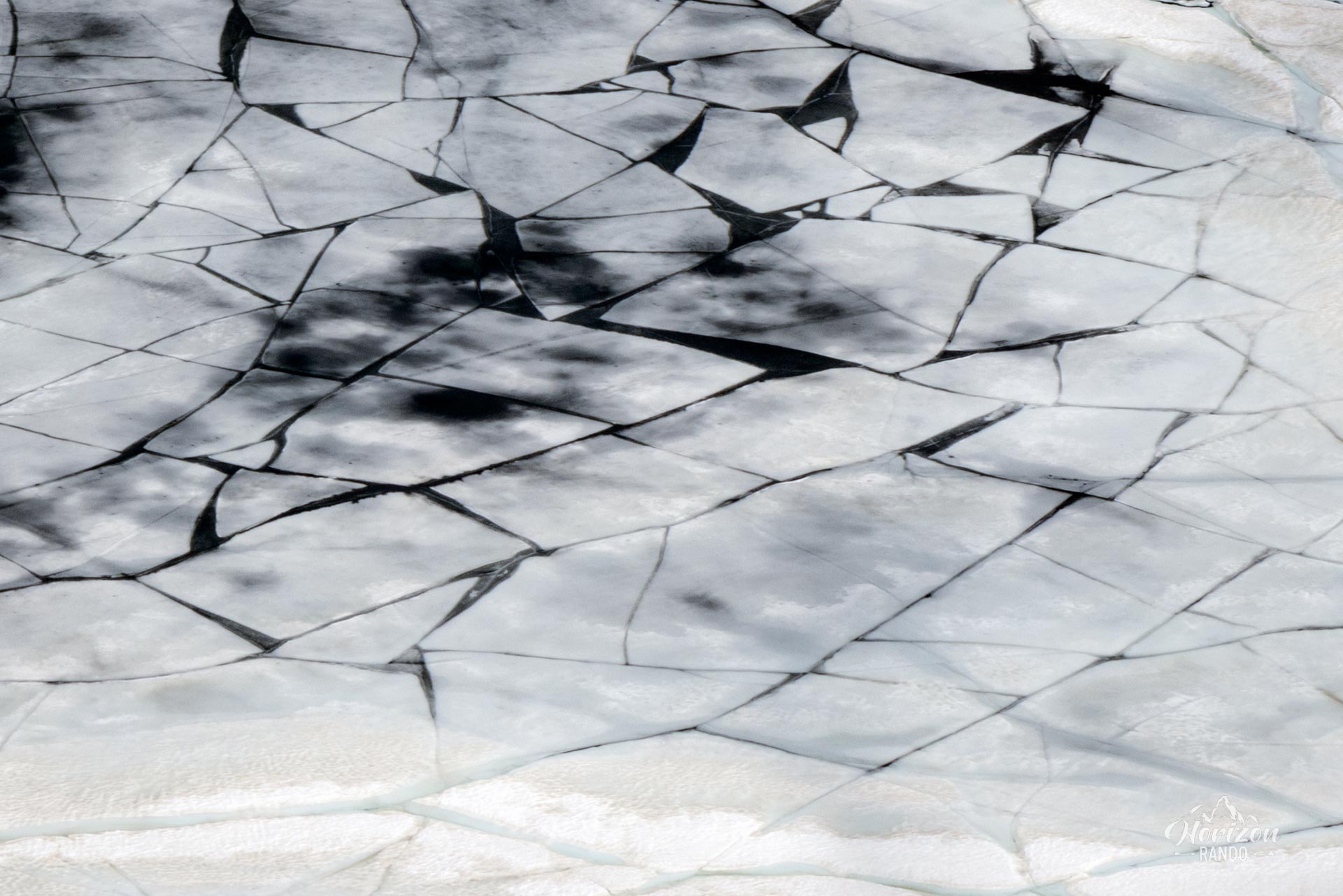
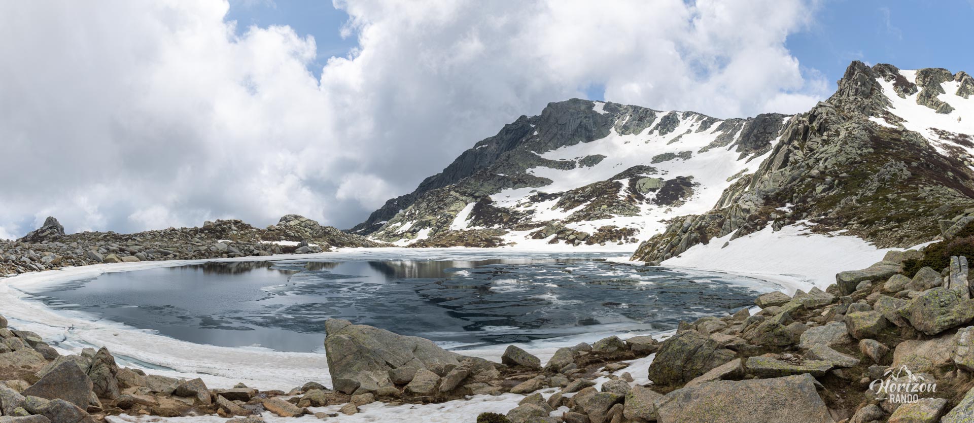
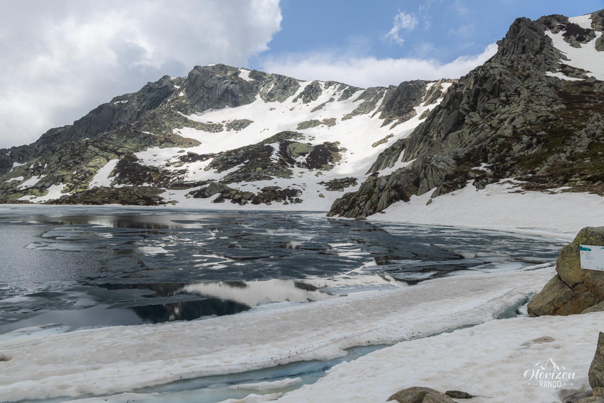
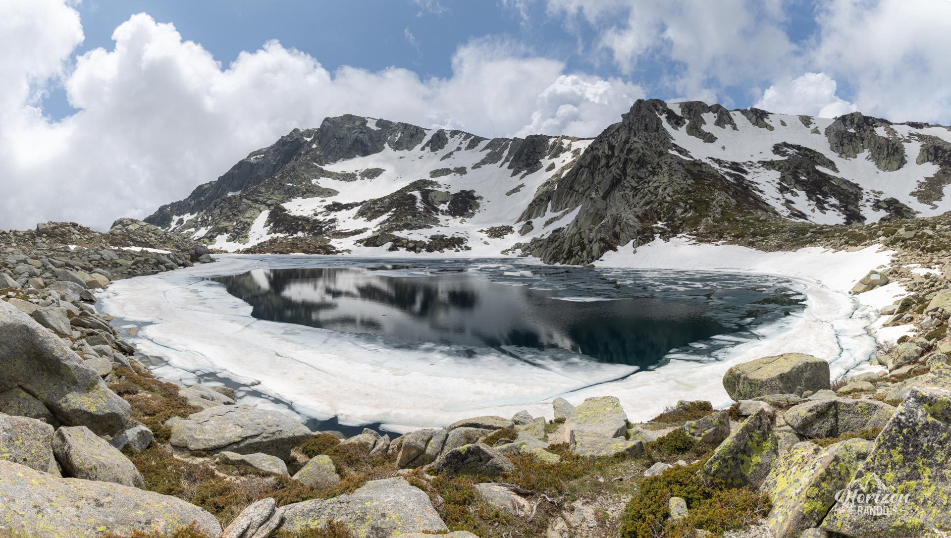
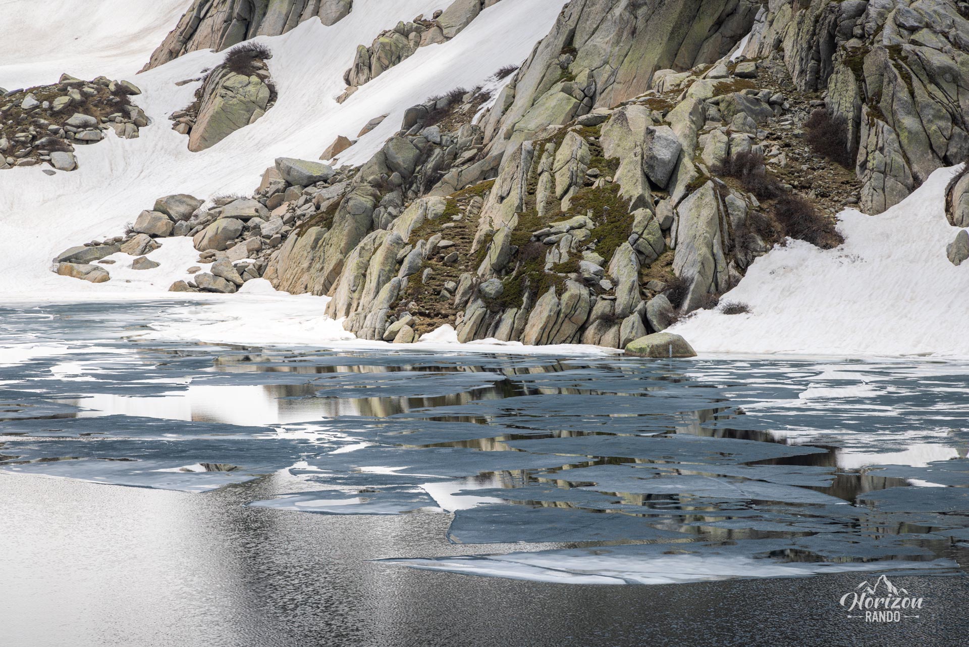
- The magnificent Lake Bastani, a heart-shaped gem nestled in a granite cirque.
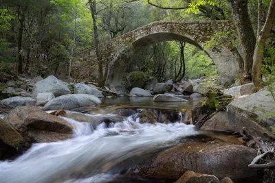
- The green pozzines of the Pizzolo plateau, which contrast with the summit's mineral atmosphere.
Practical information
Departure
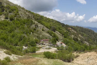
The trail starts at the Capannelle-Ghisoni ski resort. Road access from Ghisoni (20 km) is via a long, narrow, winding mountain road.
Best time to go
June to October. At the beginning of the season, there may be residual snowfields on certain sections of the trail. To avoid the summer heat haze, which can limit visibility at the summit, it is advisable to set off early in the morning.
Photos
See all 17 photos →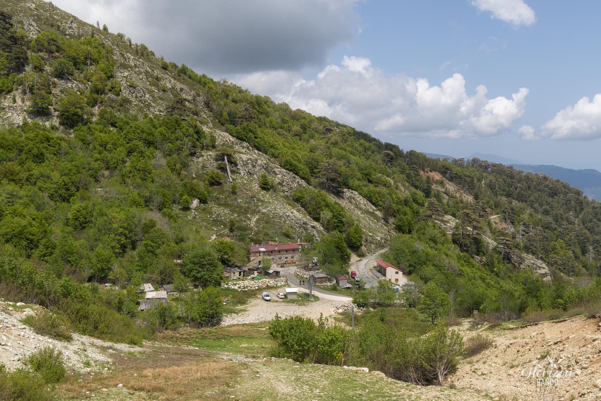
More hikes to do in Corsica
Nearby hikes







Printed from www.horizonrando.fr/en/corsica/monte-renoso/