





Terrenzana Trail Hike
Key facts about the hike
- Difficulty
- Very easy Hikes are rated from very easy to very hard: my difficulty scale
- Duration
- 1h15 Estimated time, short breaks included (photos, water, snacks), picnic not included: how it is calculated
- Distance
- 2.7km
- Elevation gain
- 70m
- Type of route
- Loop
- Maximum altitude
- 20 m
- Vertiginous Five levels, depending on how exposed the route is: the levels in detail
- No
- Marked
- No
- Popularity
- Low
- Region
- North-East
- Start point
- 42.15035, 9.55373
- Activity
- Hiking
Hike overview
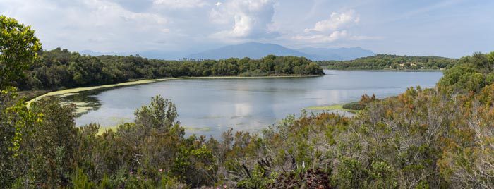
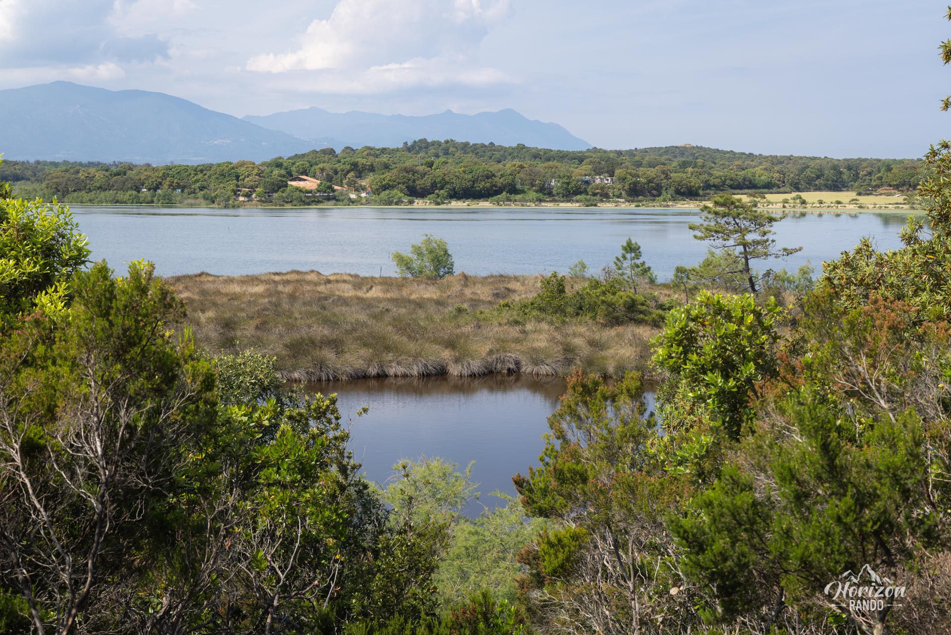
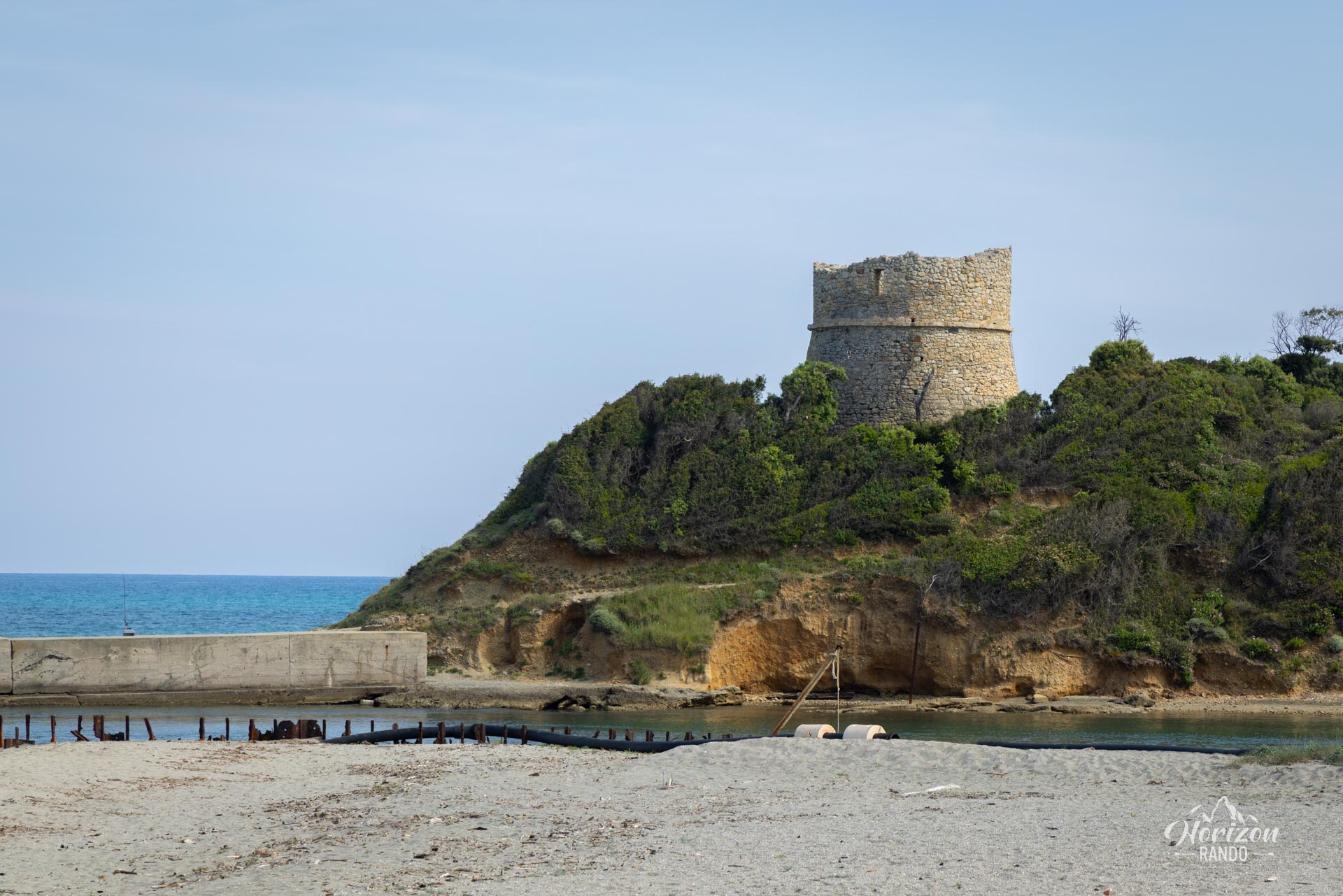
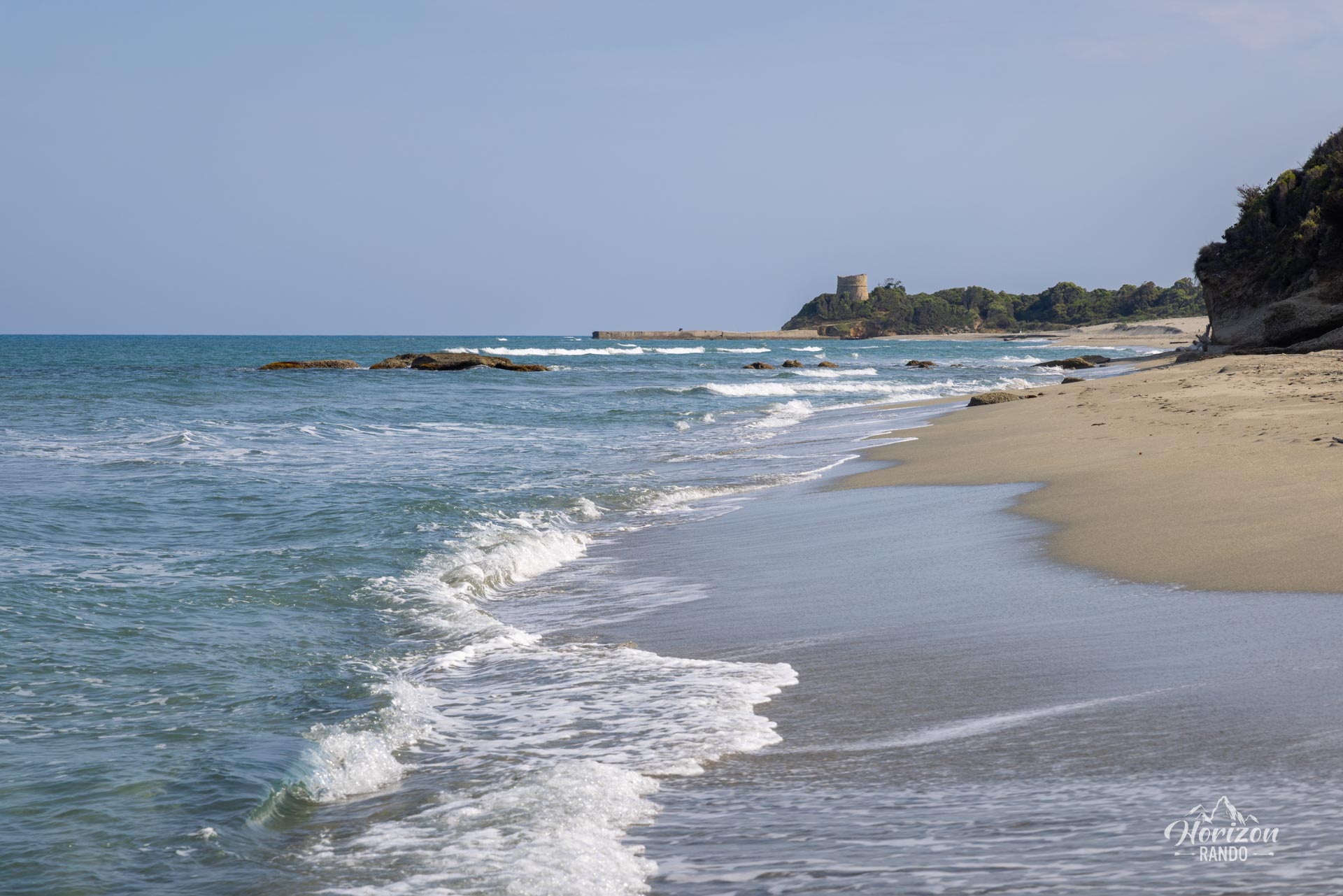
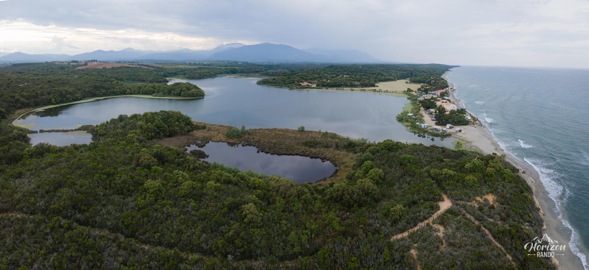
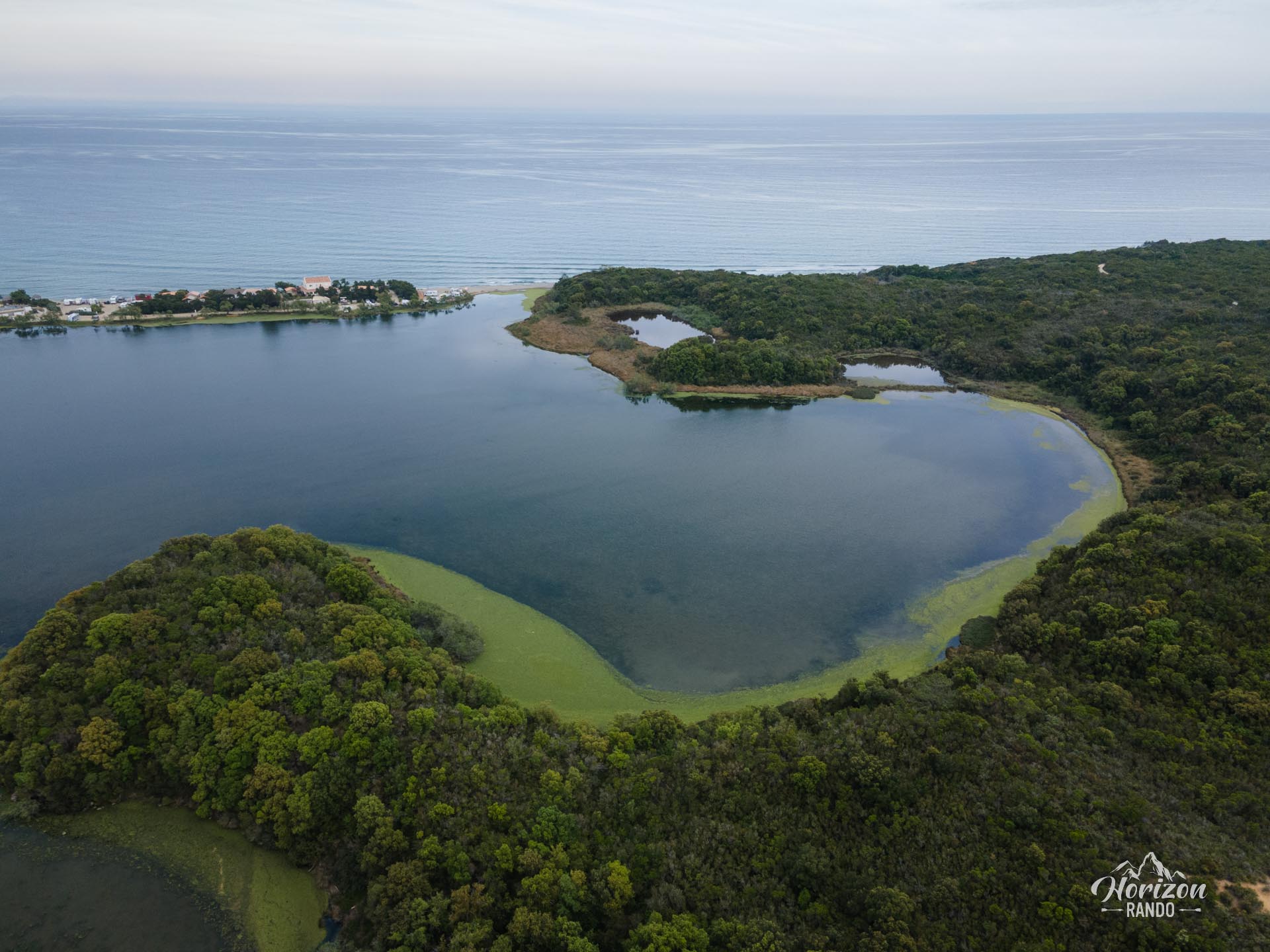
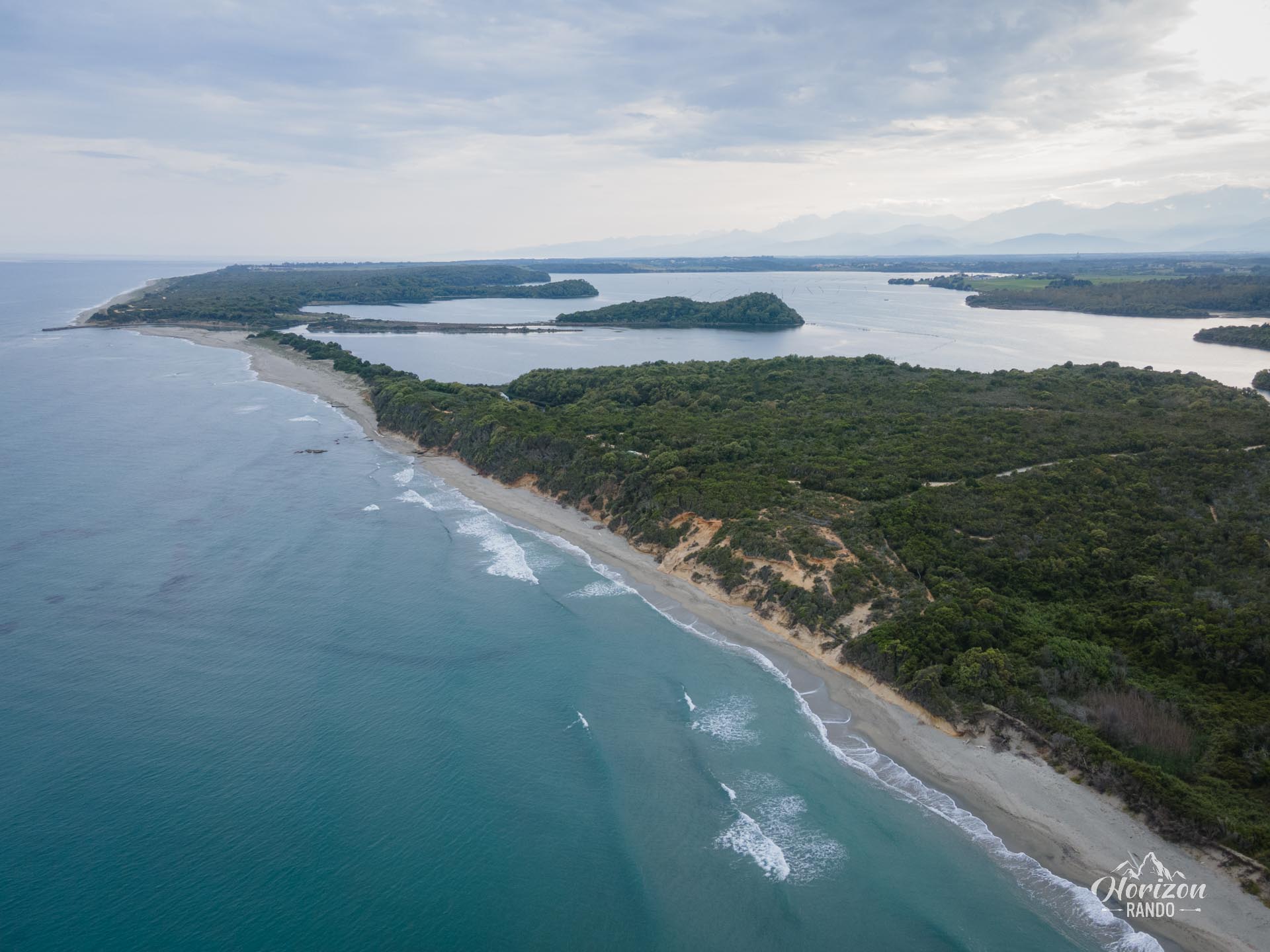
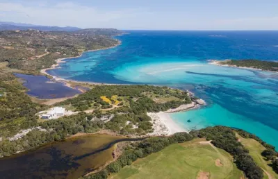
The Terrenzana site, located on the east coast of Corsica and protected by the Conservatoire du Littoral since 2017, boasts remarkable natural and historical treasures, including ponds, the sea, fishermen's huts, a Genoese tower, and diverse fauna, such as a colony of pink flamingos.
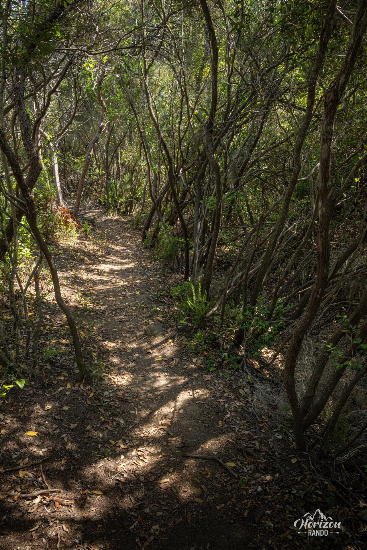
What makes it special? Its unusual tall scrubland, preserved from fires and intensive farming. Well-maintained trails dotted with information panels allow visitors to discover this natural and historical treasure trove. One significant advantage is that the loop is mainly shaded by the tall scrubland, which is ideal in hot weather.
Map and elevation profile of the hike
Terrenzana Trail Hike
Difficulties of the hike
The route is very easy and presents no difficulties. It is suitable for everyone, even families with young children. The trail alternates between wide tracks and paths through the scrubland and is perfectly maintained.
What you'll love
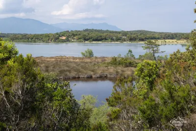
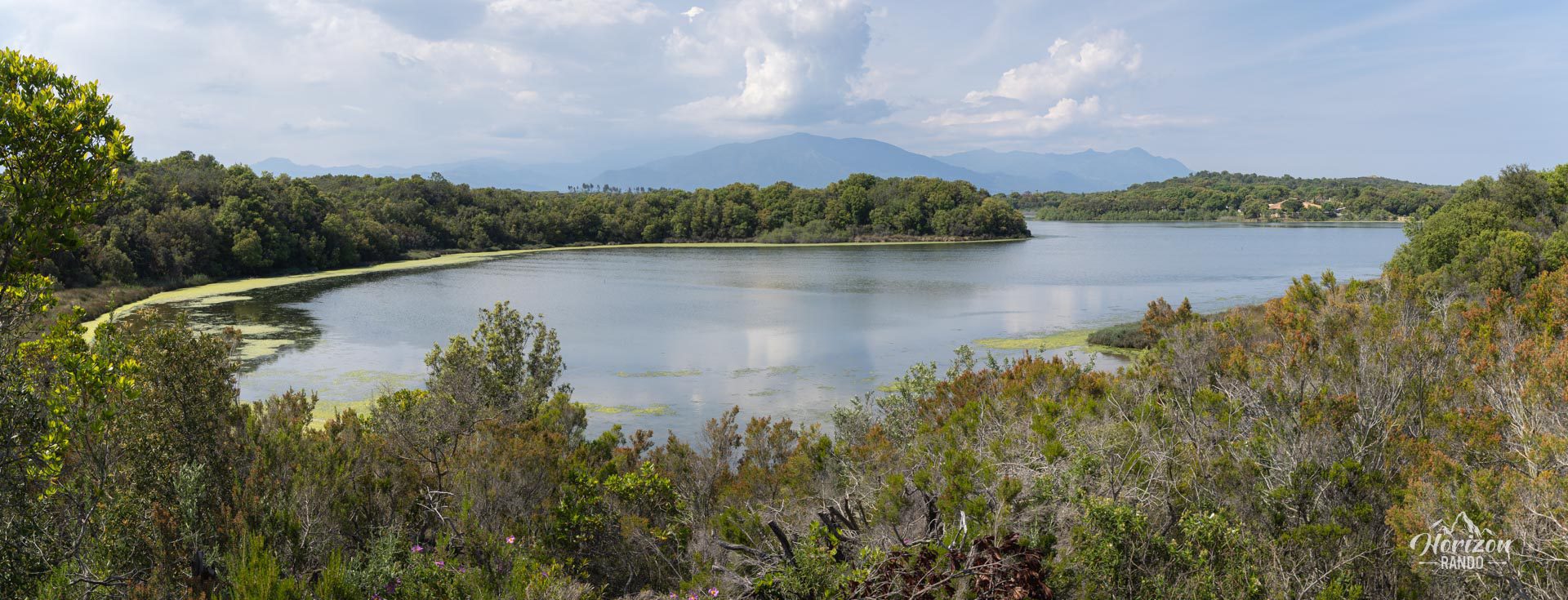
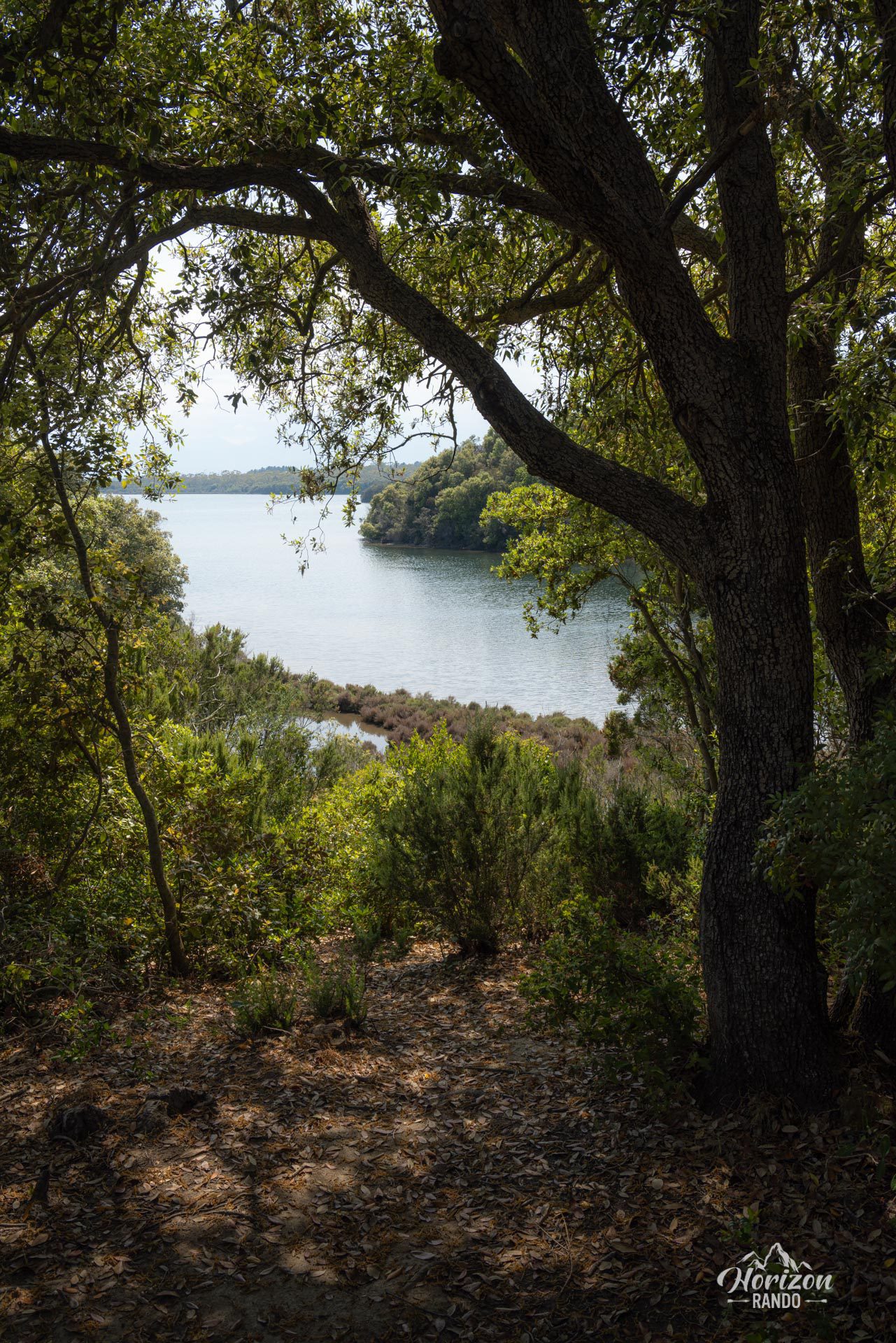
- The panoramic views of Terrenzana Lake, Diane Lake, the sea, the agricultural plain, and the Castagniccia mountain peaks in the background.
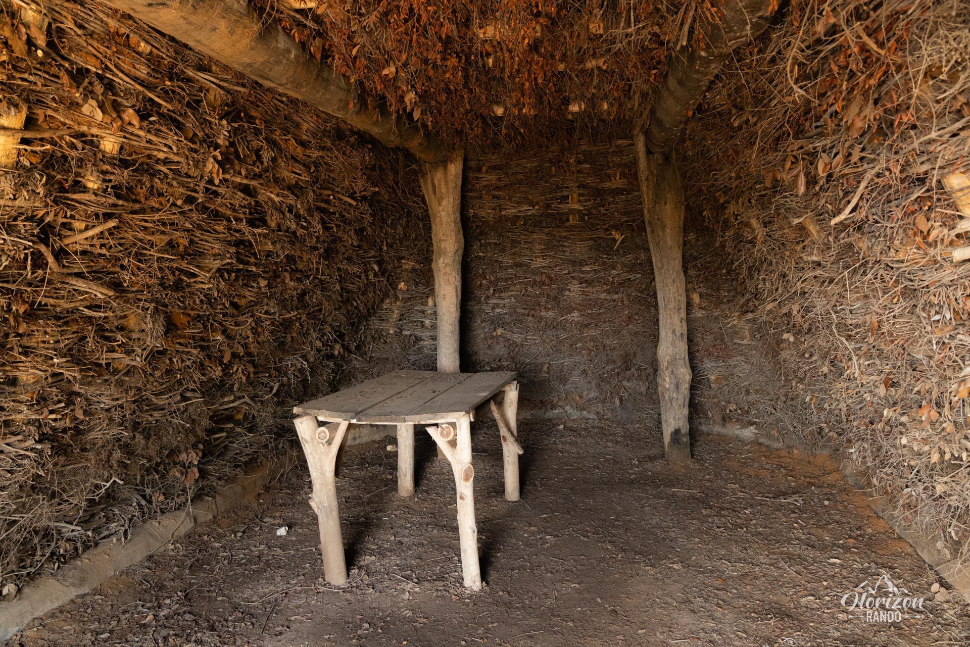
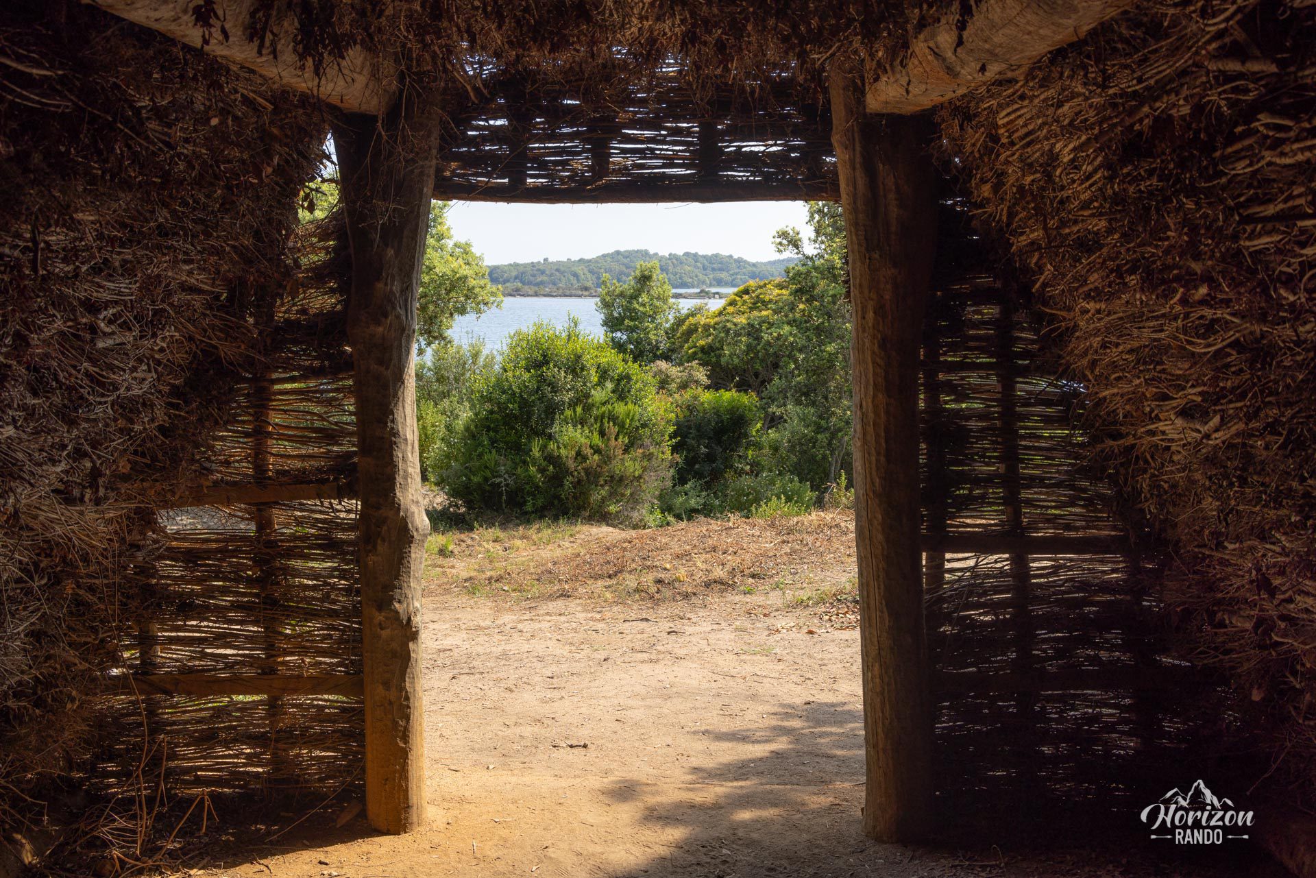
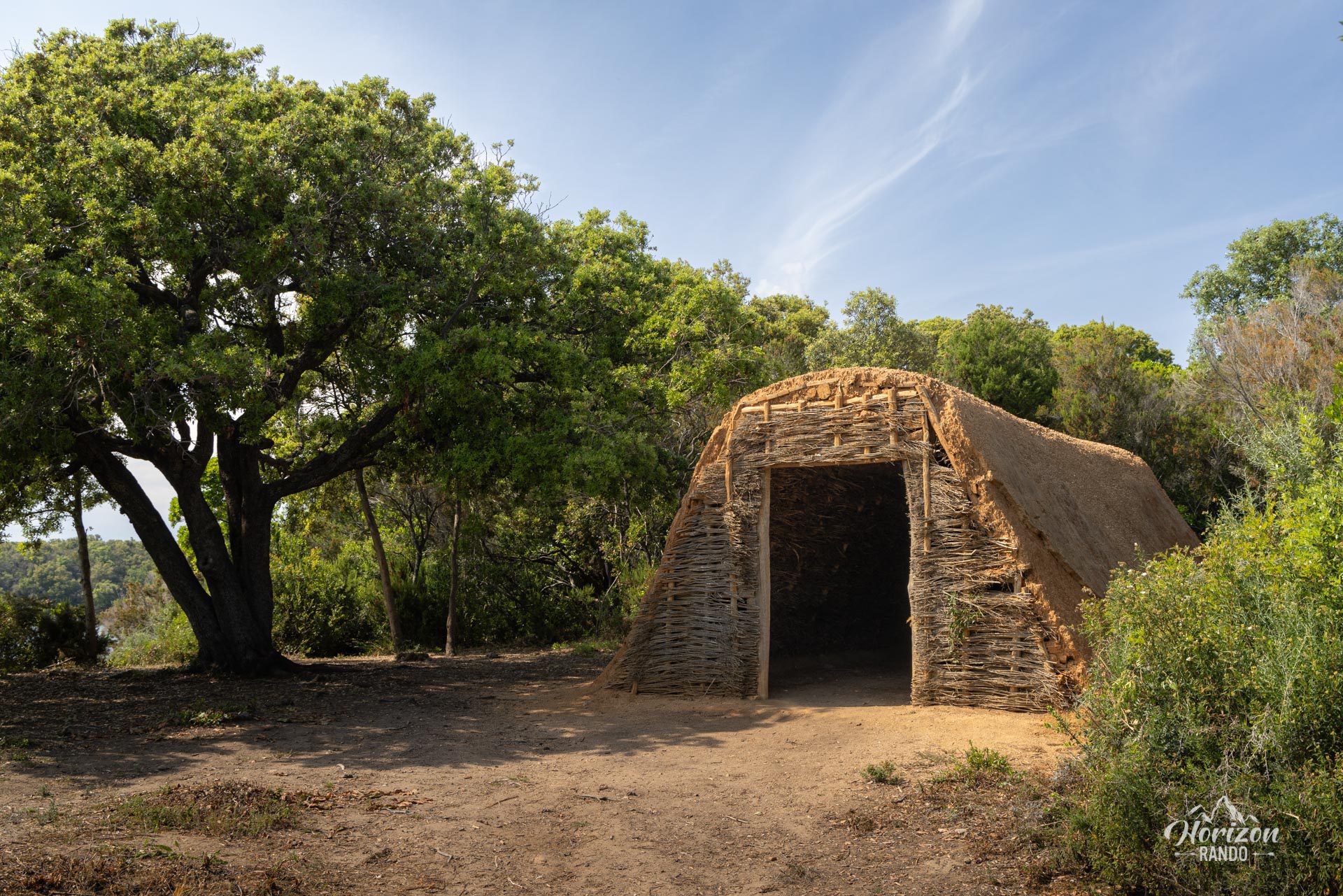
- Discover a shepherd's hut rebuilt using traditional techniques and made of wood and branches.
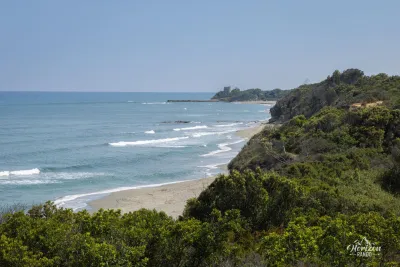
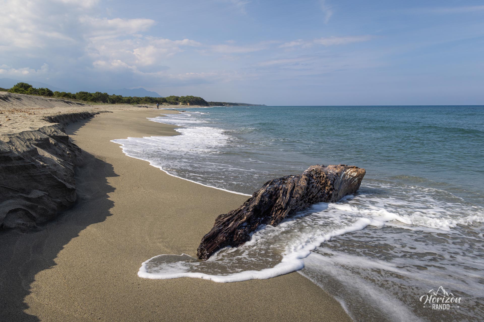
- Extend your walk or cool off at the magnificent Tallone Beach, which has crystal-clear waters.
Practical information
Extend your hike
The site offers several extension possibilities, including the Sentier de Diane, which runs alongside the eponymous pond and allows you to complete an 8-kilometer loop. All of the routes are easy and well-maintained.
Panoramic views
While the tall scrub is pleasant for the coolness it provides, it restricts open views to a few areas along the route.
Photos
See all 15 photos →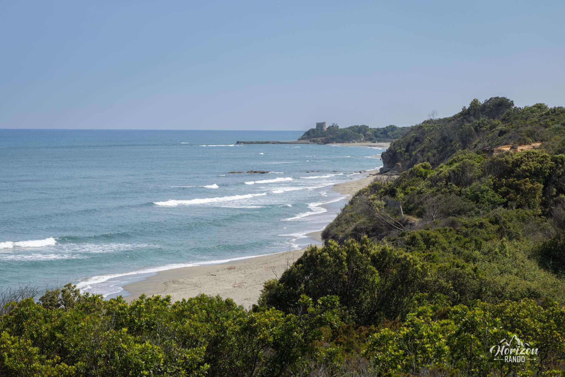

More hikes to do in Corsica
Nearby hikes






Printed from www.horizonrando.fr/en/corsica/terrenzana-trail/