





Monte Calva Hike
Key facts about the hike
- Difficulty
- Easy Hikes are rated from very easy to very hard: my difficulty scale
- Duration
- 3h Estimated time, short breaks included (photos, water, snacks), picnic not included: how it is calculated
- Distance
- 8km
- Elevation gain
- 420m
- Type of route
- Loop
- Maximum altitude
- 1,381 m
- Vertiginous Five levels, depending on how exposed the route is: the levels in detail
- No
- Marked
- No
- Popularity
- Low
- Region
- South-East
- Start point
- 41.70527, 9.21130
- Activity
- Hiking
Hike overview
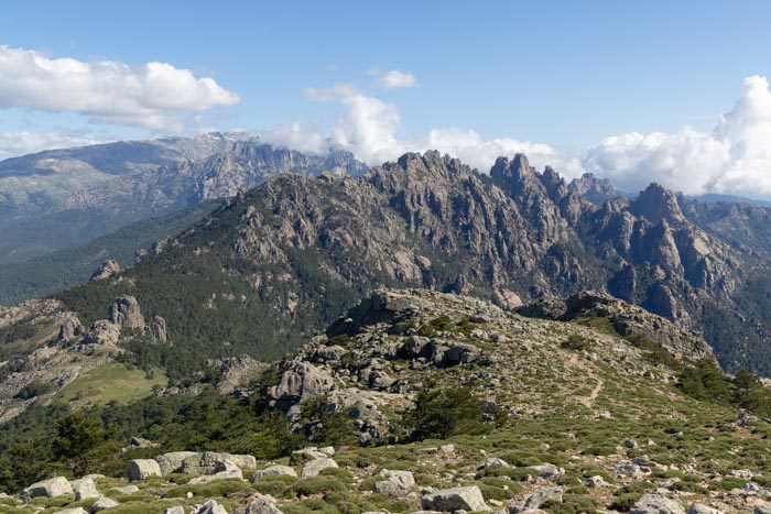
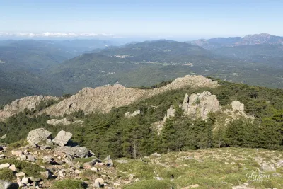
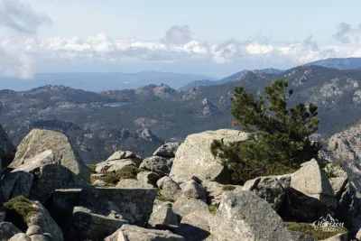
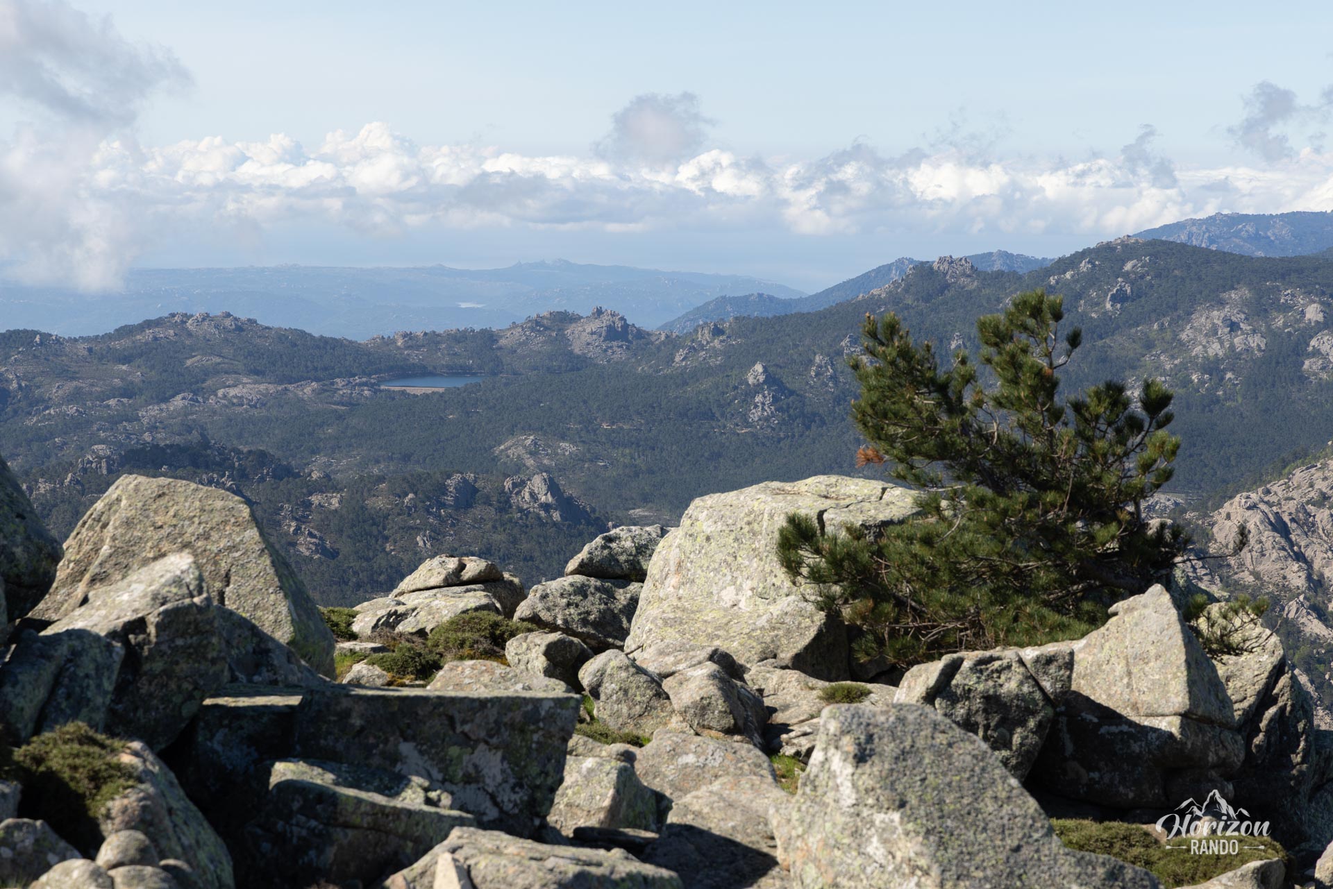
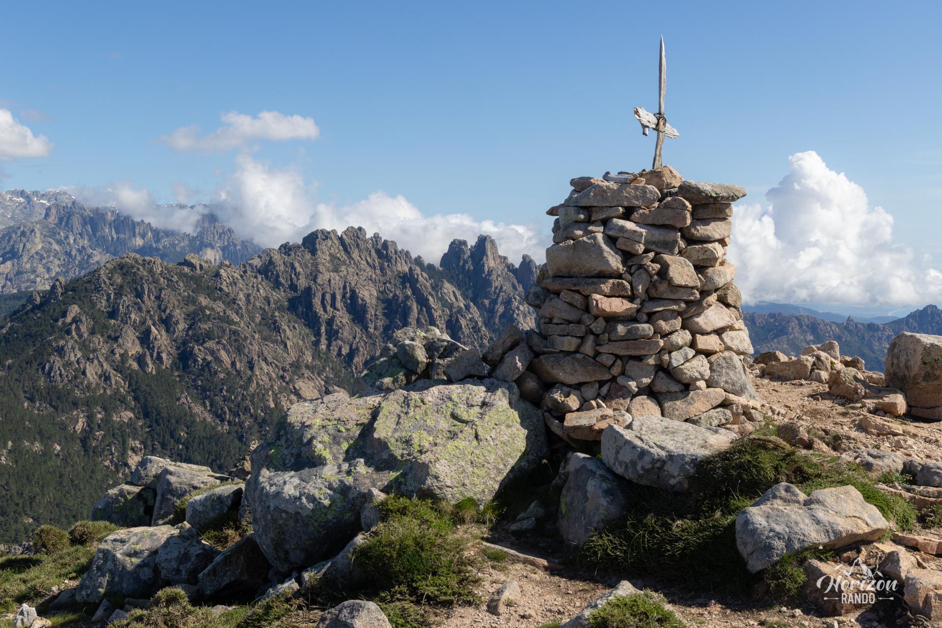
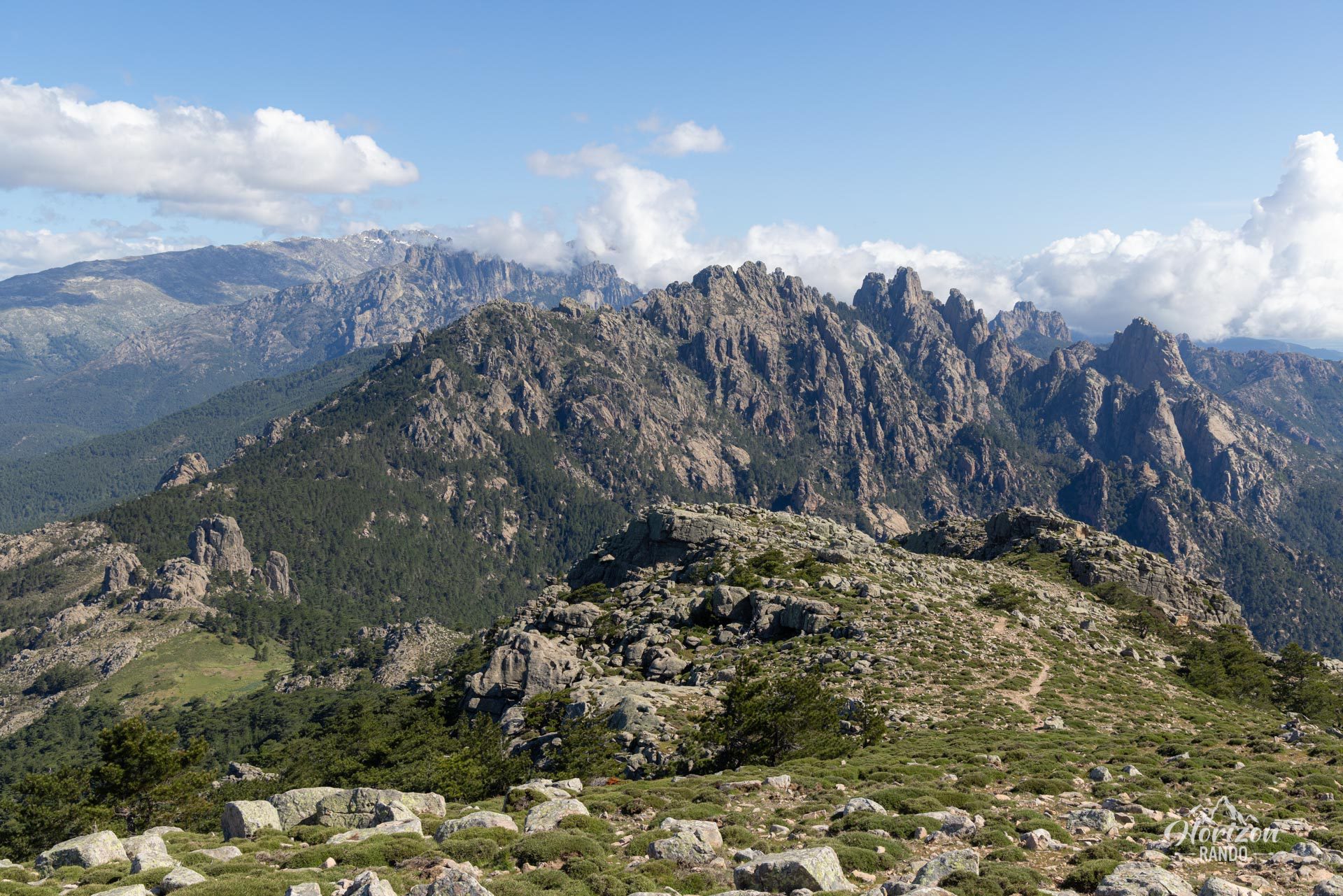
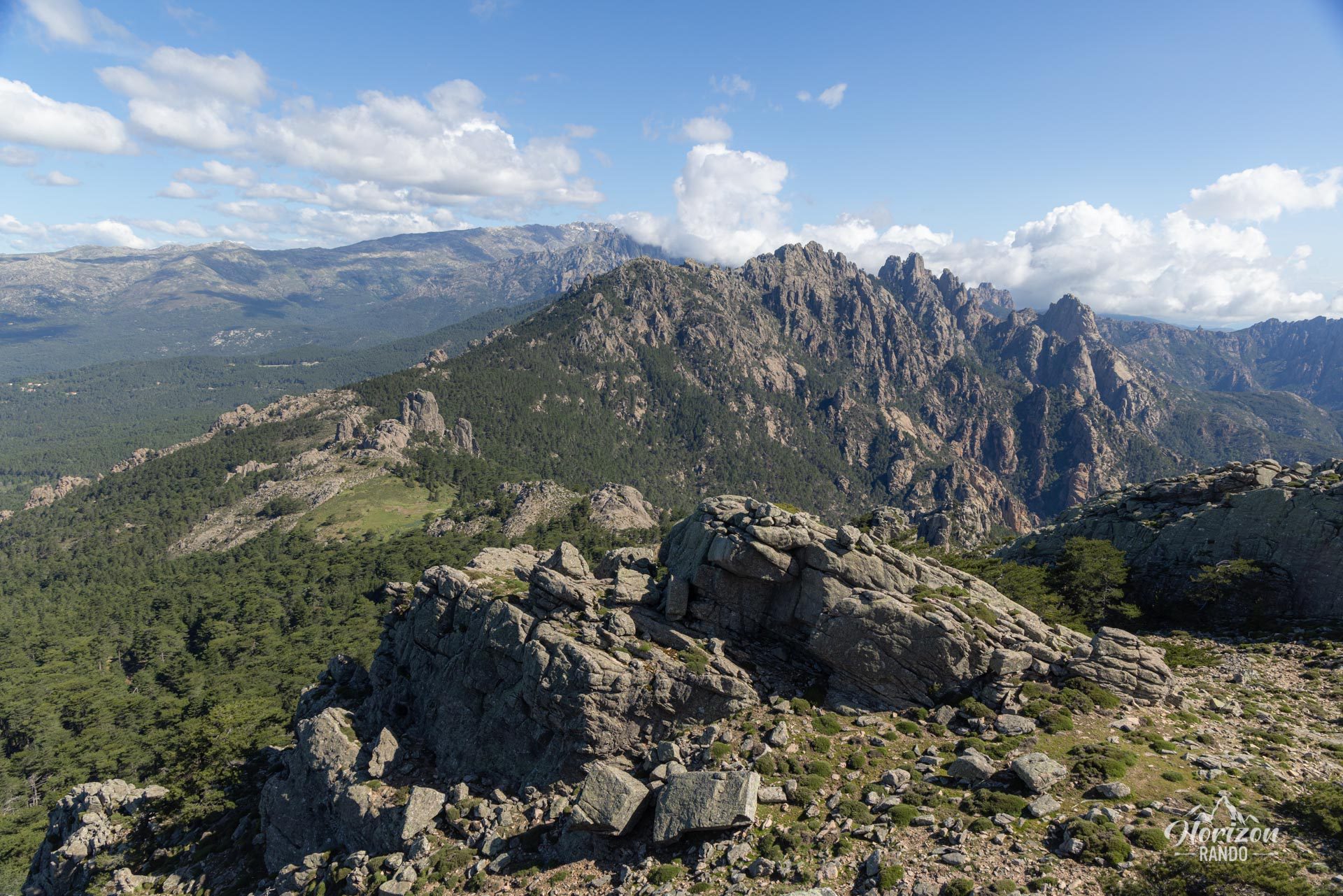
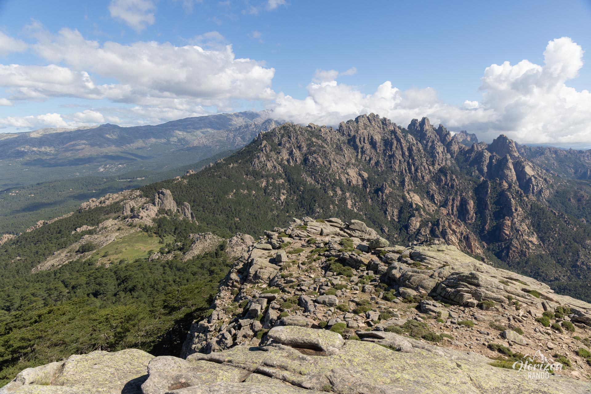
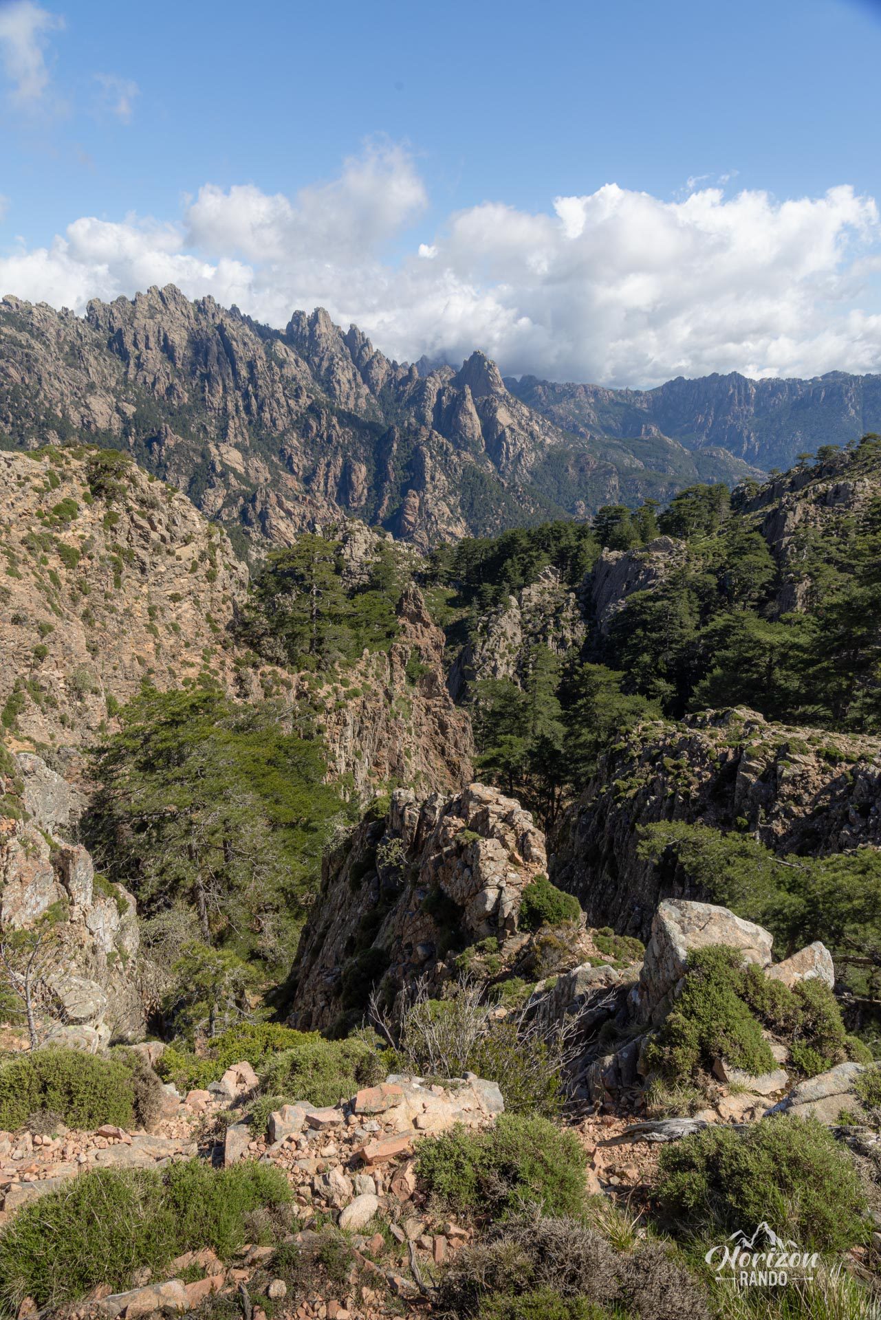
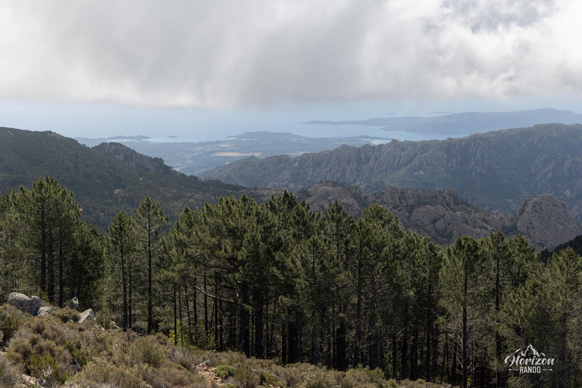
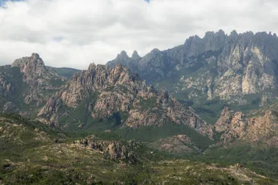
This hike begins at the Illarata Pass and takes you to the 1,381-meter summit of Monte Calva. Its remote location provides an exceptional 360-degree view, ranging from Monte Incudine and the Bavella peaks in the north to the Ospedale massif and the Gulf of Porto-Vecchio in the south.
Map and elevation profile of the hike
Monte Calva Hike
Difficulties of the hike
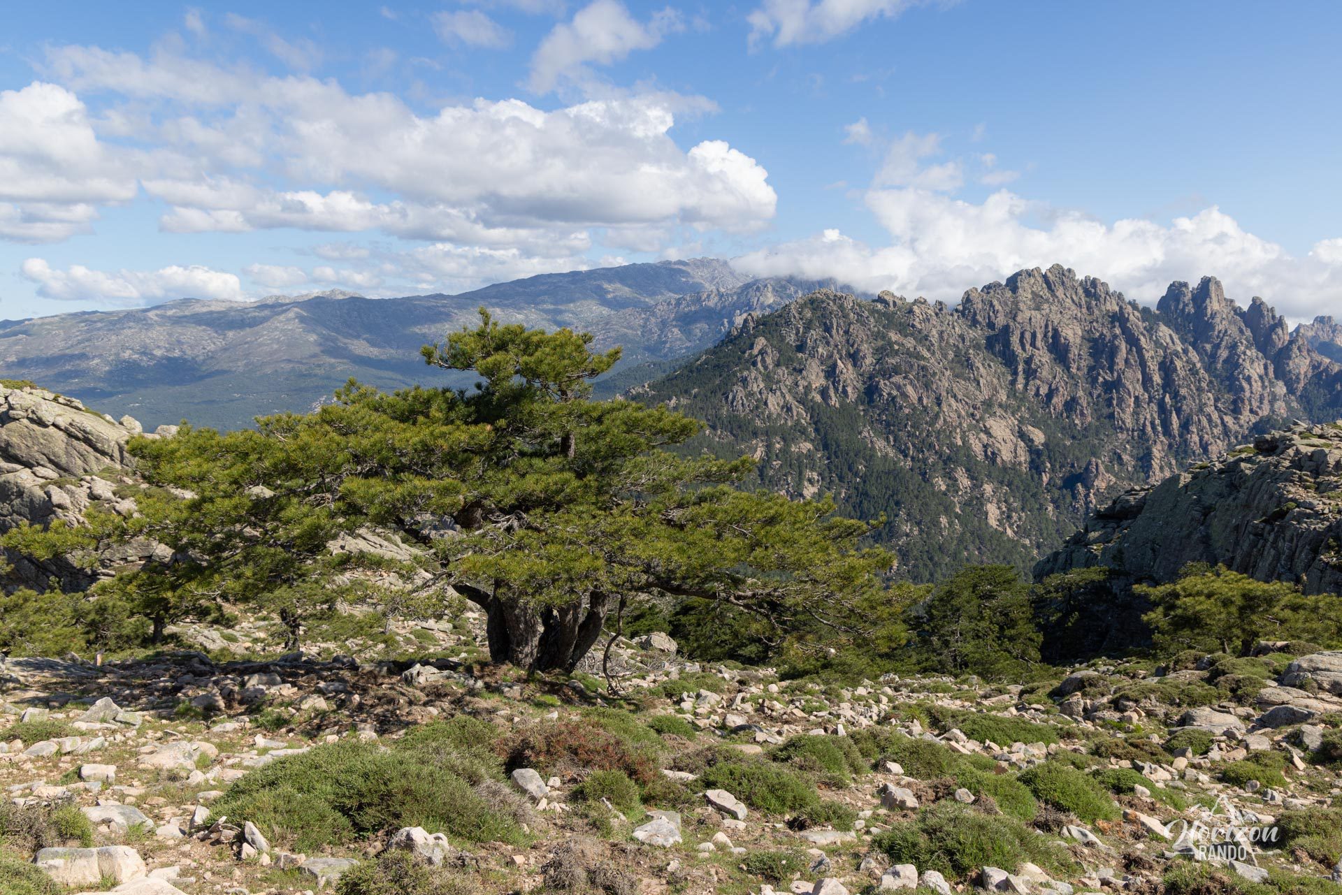
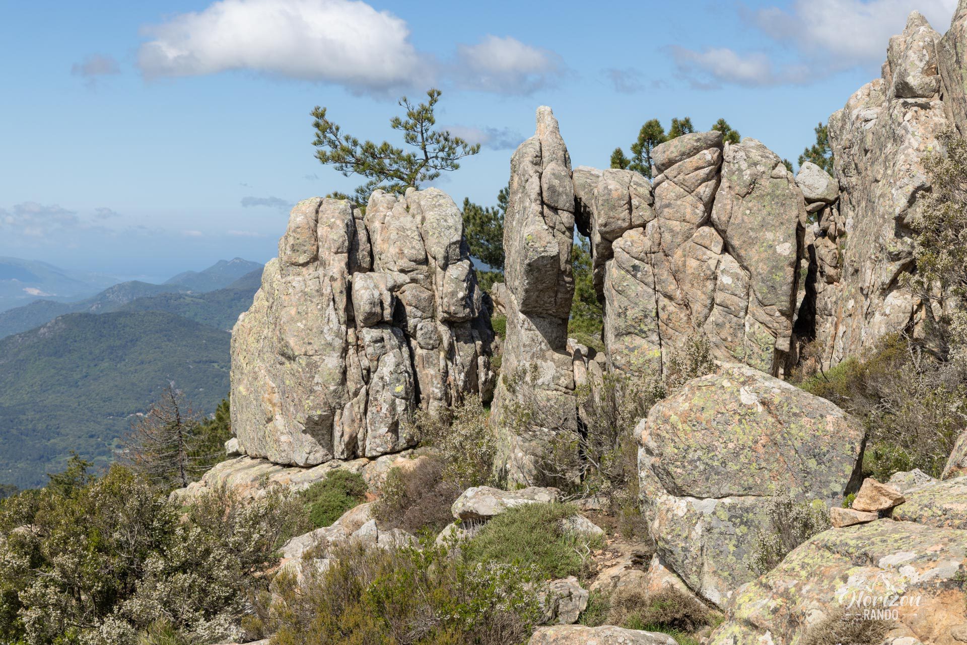
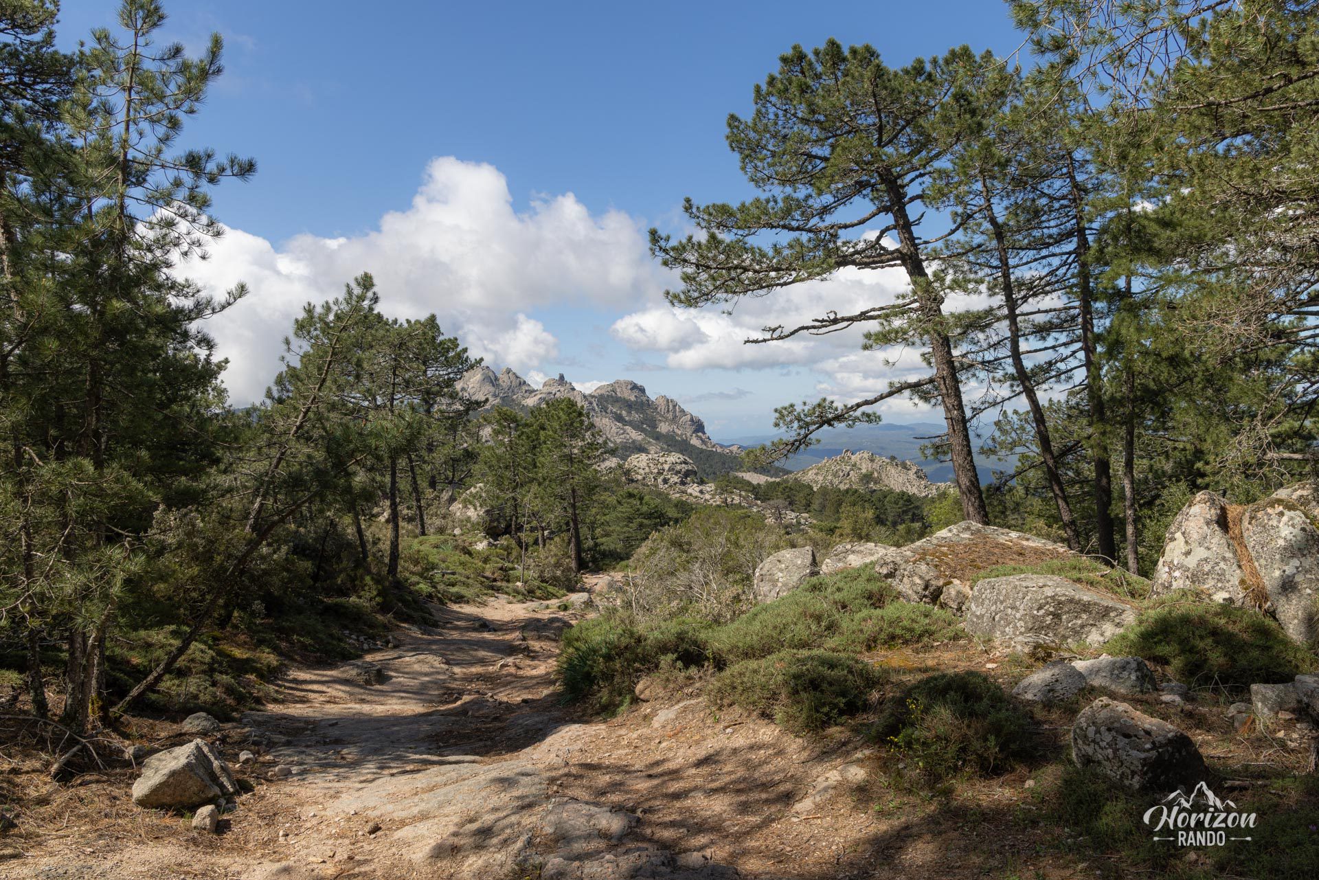
This hike is technically easy, alternating between wide, shaded forest trails in the Zonza Forest and slightly steeper, rocky paths. The trail is not marked, but cairns mark the route in places.
What you'll love
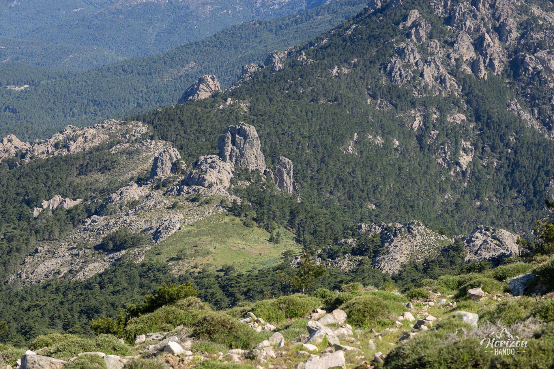
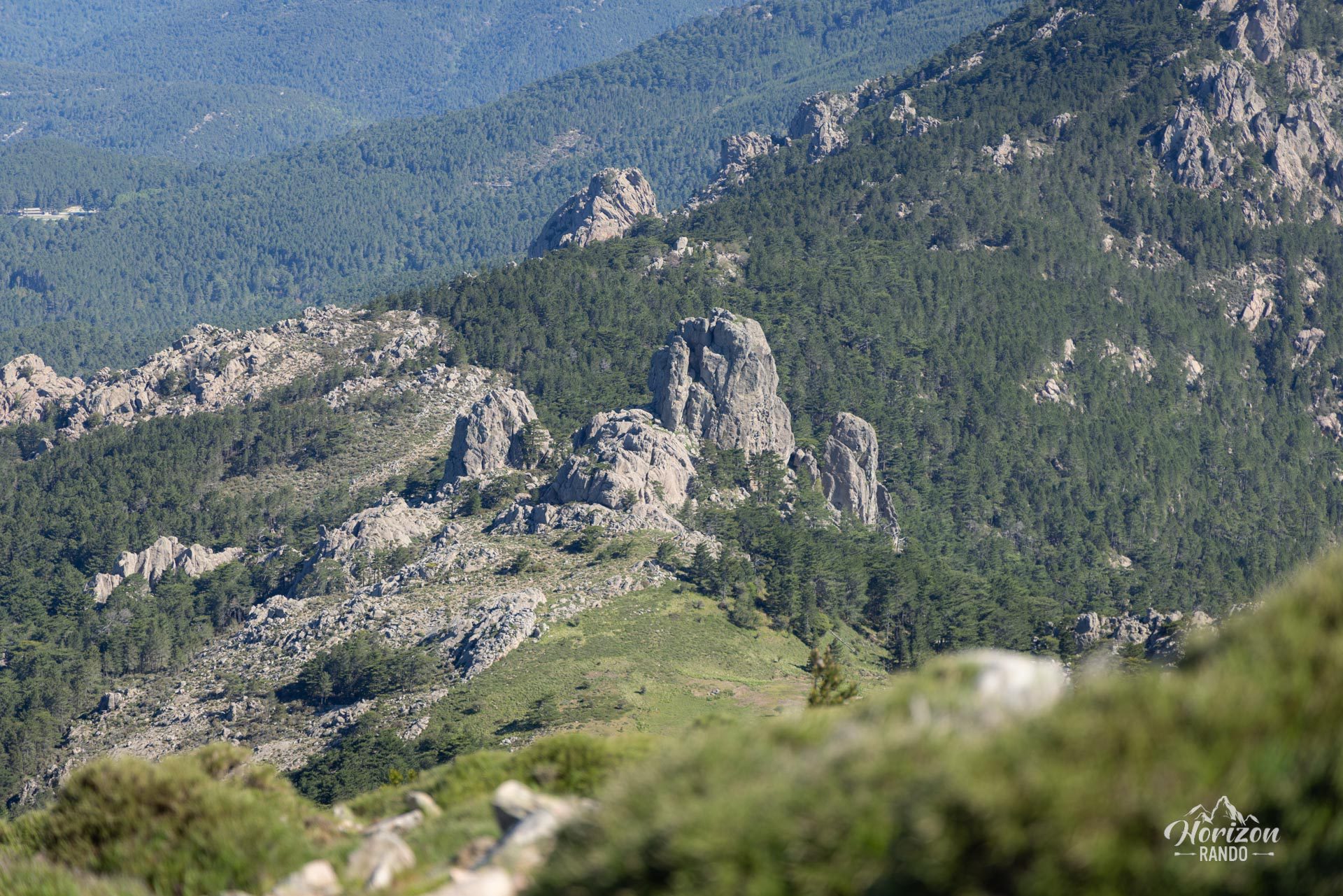
- The 360-degree panorama from the summit, where you can admire the jagged peaks of Bavella, Monte Incudine, Alta Rocca, and the Gulf of Porto-Vecchio
- An intimate experience on a little-used trail in the heart of nature.
Photos
See all 14 photos →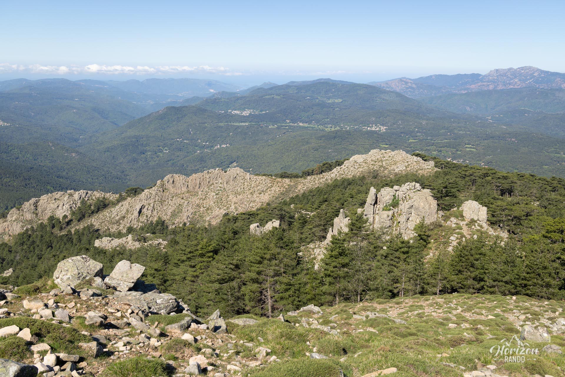

More hikes to do in Corsica
Nearby hikes







Printed from www.horizonrando.fr/en/corsica/monte-calva/