





Capo Pertusato Hike
Key facts about the hike
- Difficulty
- Easy Hikes are rated from very easy to very hard: my difficulty scale
- Duration
- 3h30 Estimated time, short breaks included (photos, water, snacks), picnic not included: how it is calculated
- Distance
- 9.1km
- out and back
- Elevation gain
- 280m
- Type of route
- Out and back
- Maximum altitude
- 104 m
- Vertiginous Five levels, depending on how exposed the route is: the levels in detail
- No
- Marked
- No
- Popularity
- Moderate
- Region
- South-East
- Start point
- 41.38697, 9.16061
- Activity
- Hiking
Hike overview
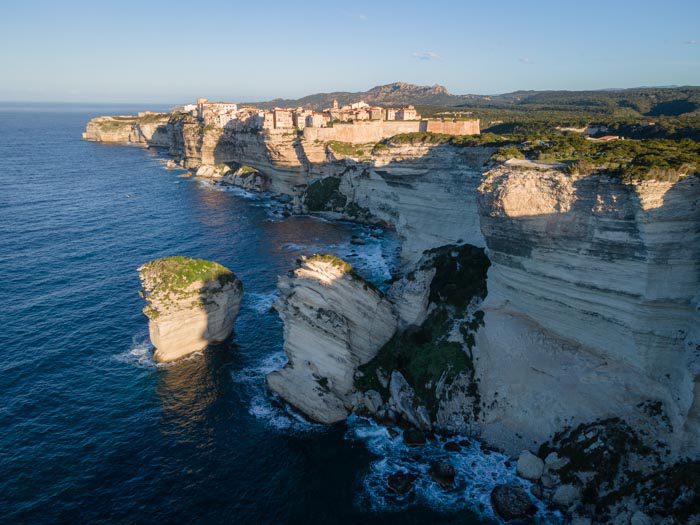
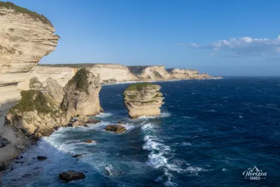
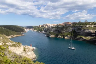
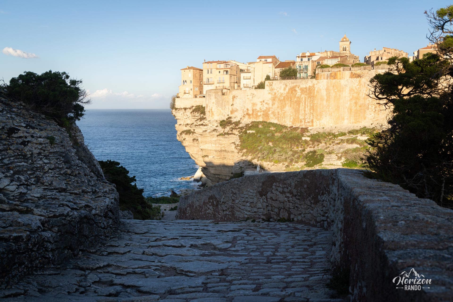
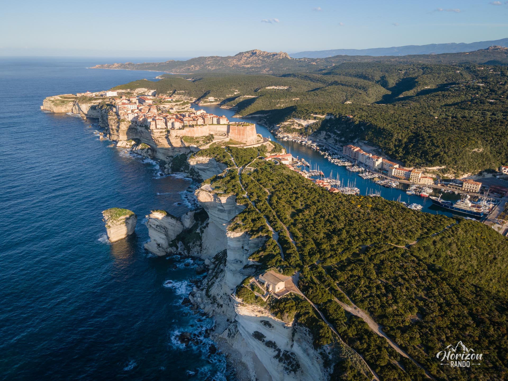
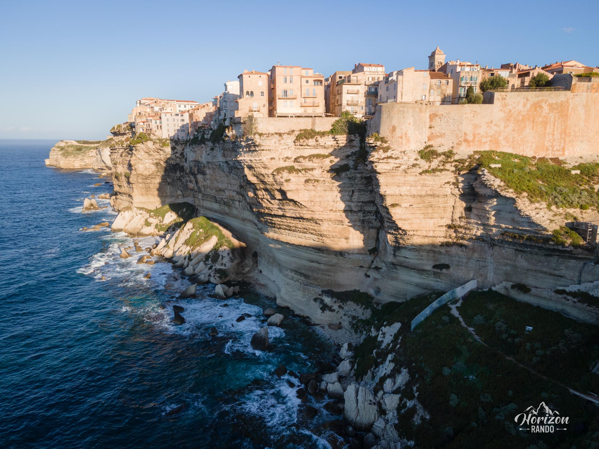
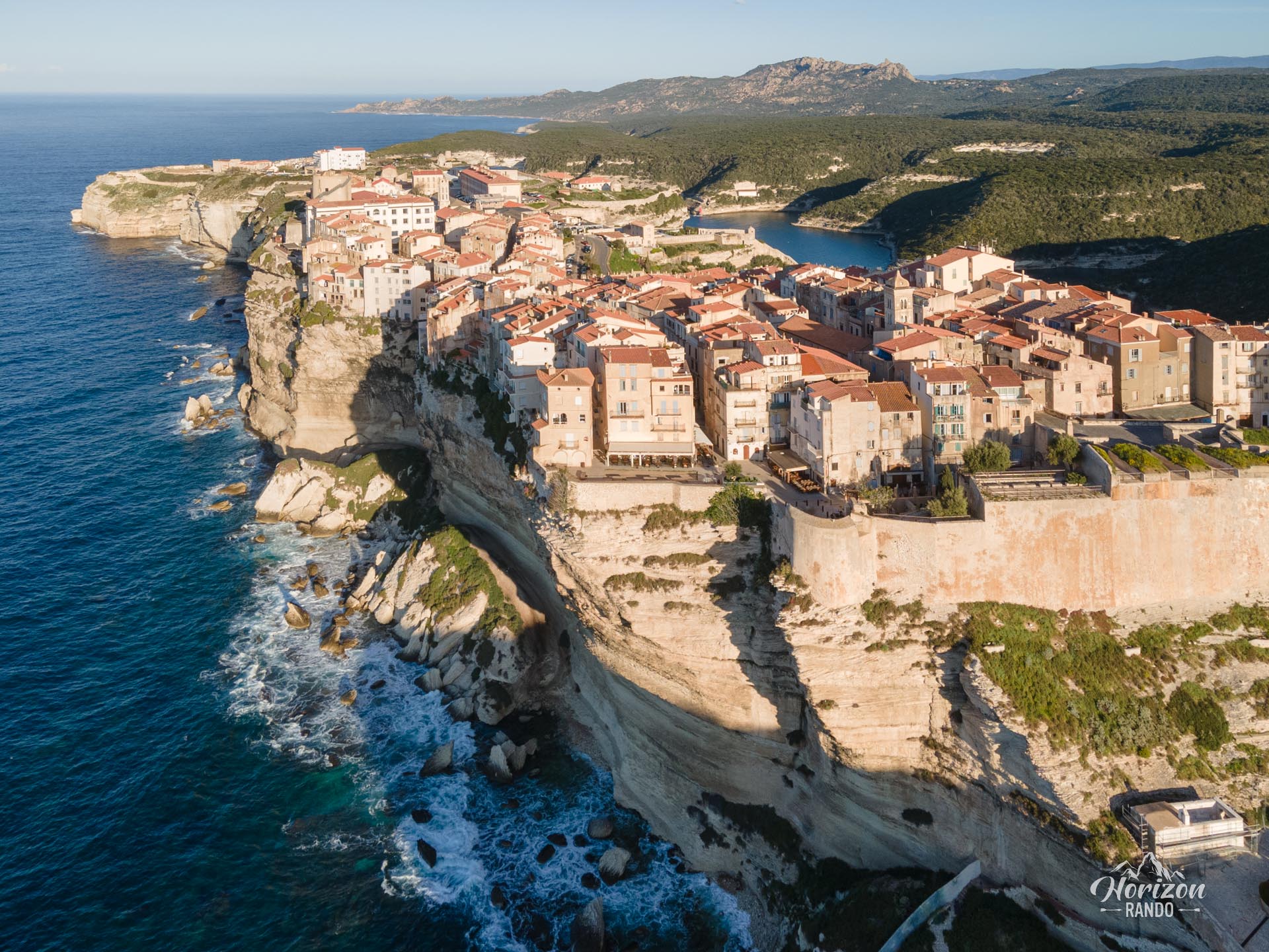
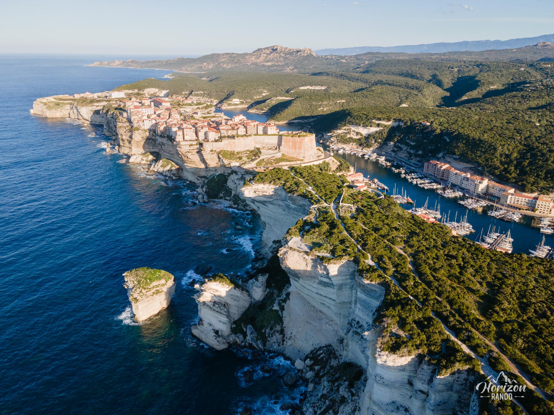
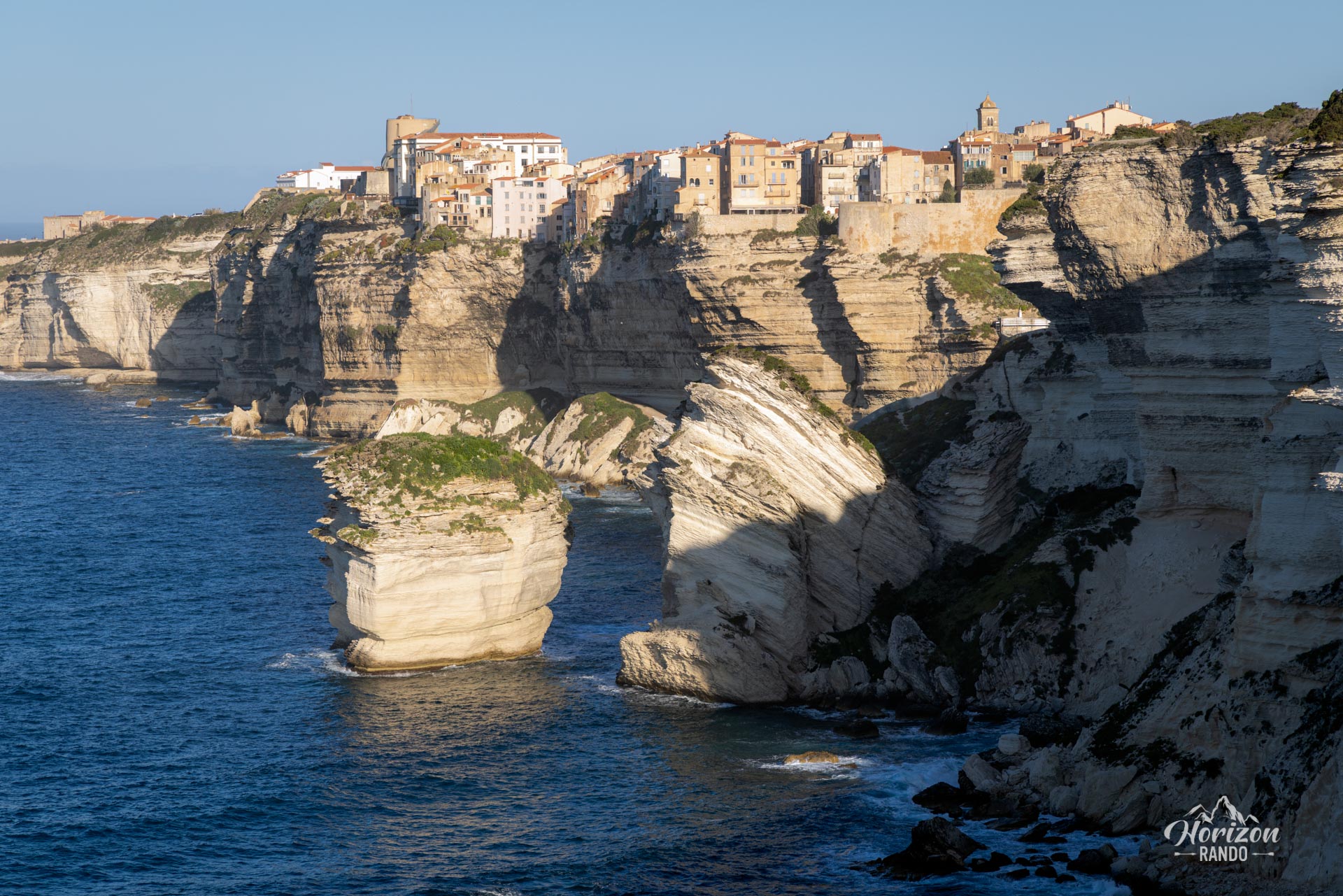
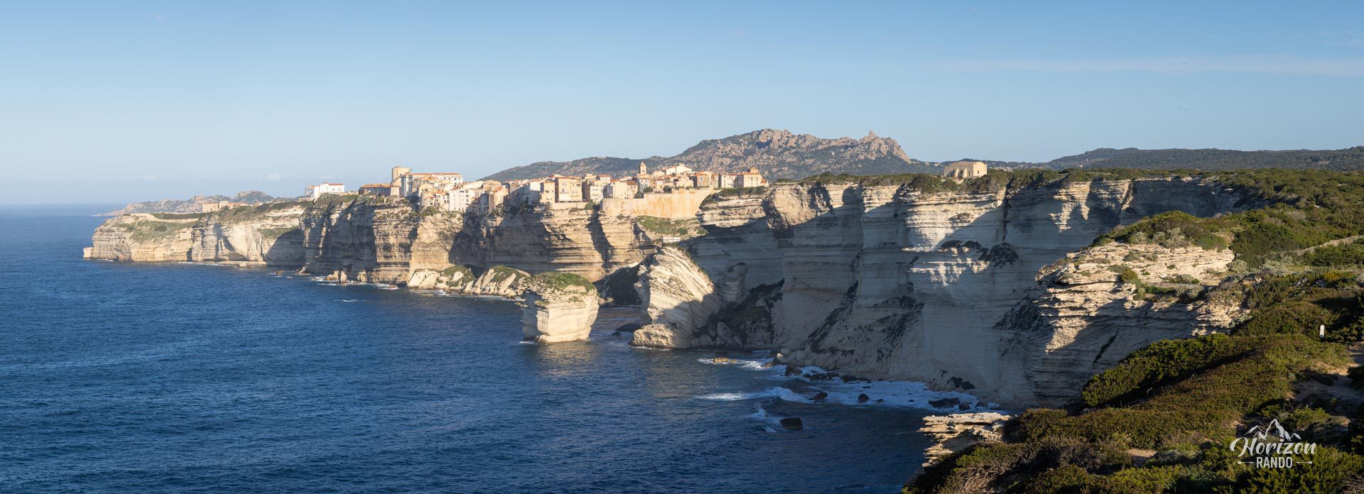
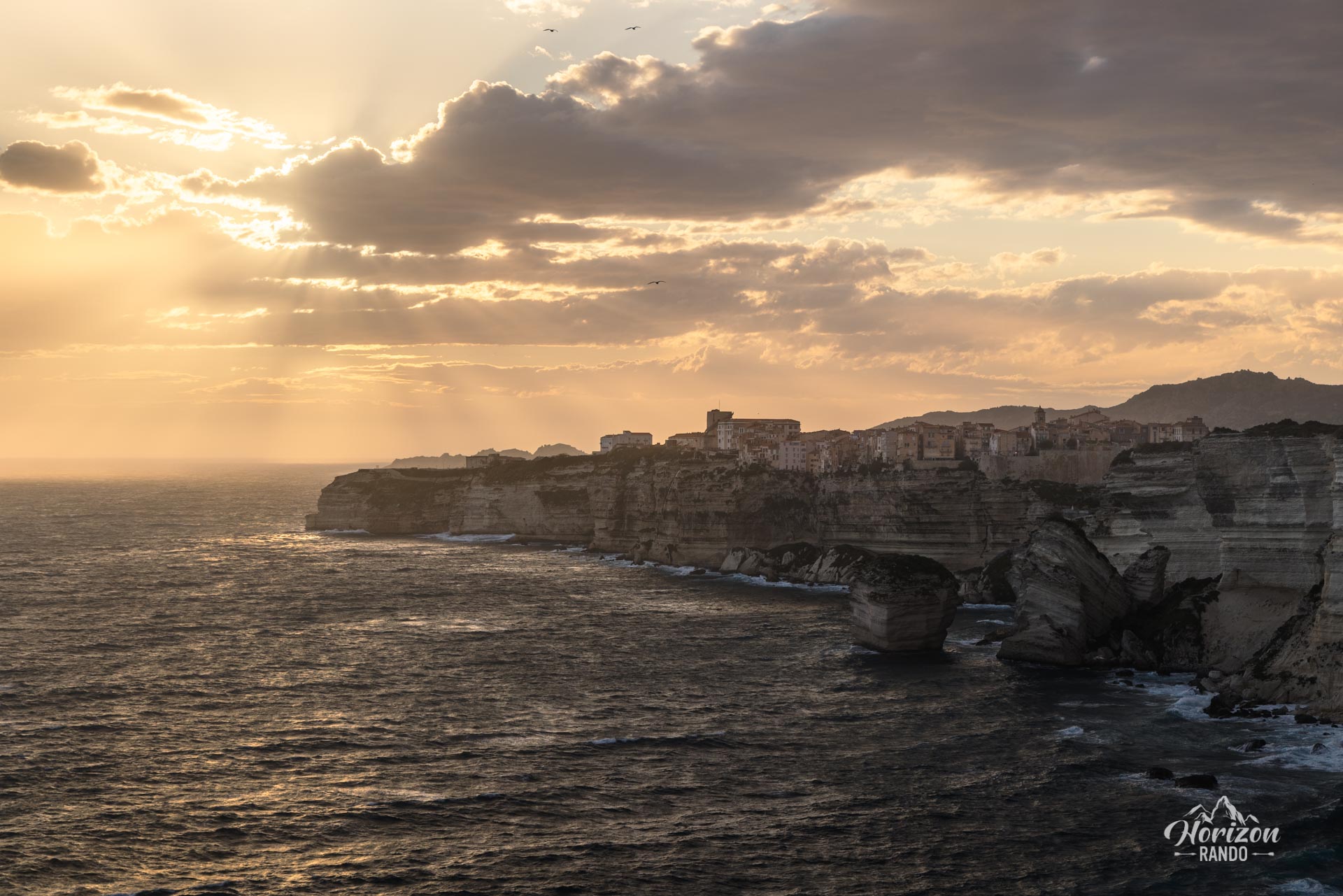
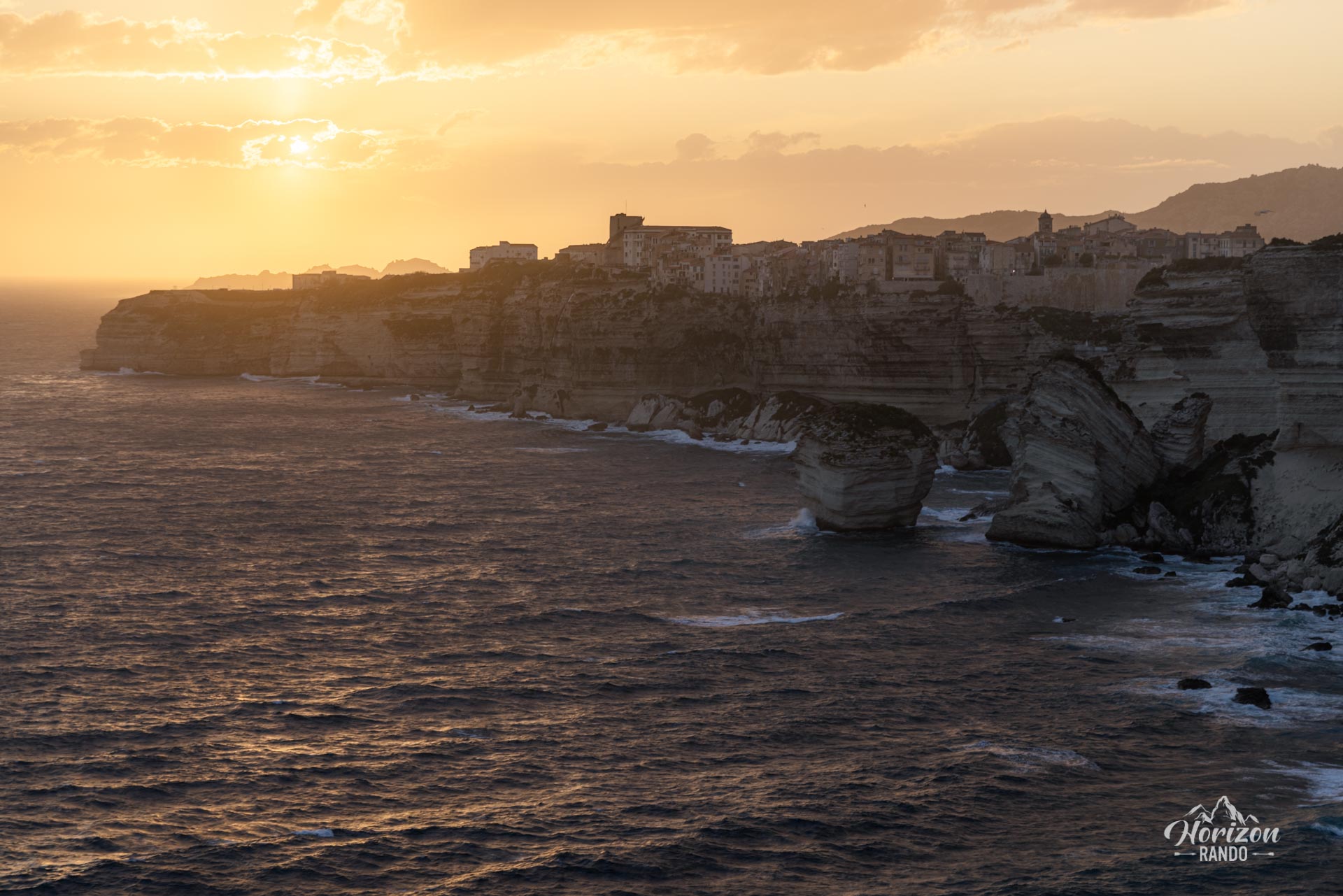
The Capo Pertusato hike takes you to the second southernmost point of Corsica. Starting from the fortified citadel of Bonifacio, the trail winds along the Accore coast and reveals extraordinary panoramas of majestic white limestone cliffs plunging into the Mediterranean Sea.
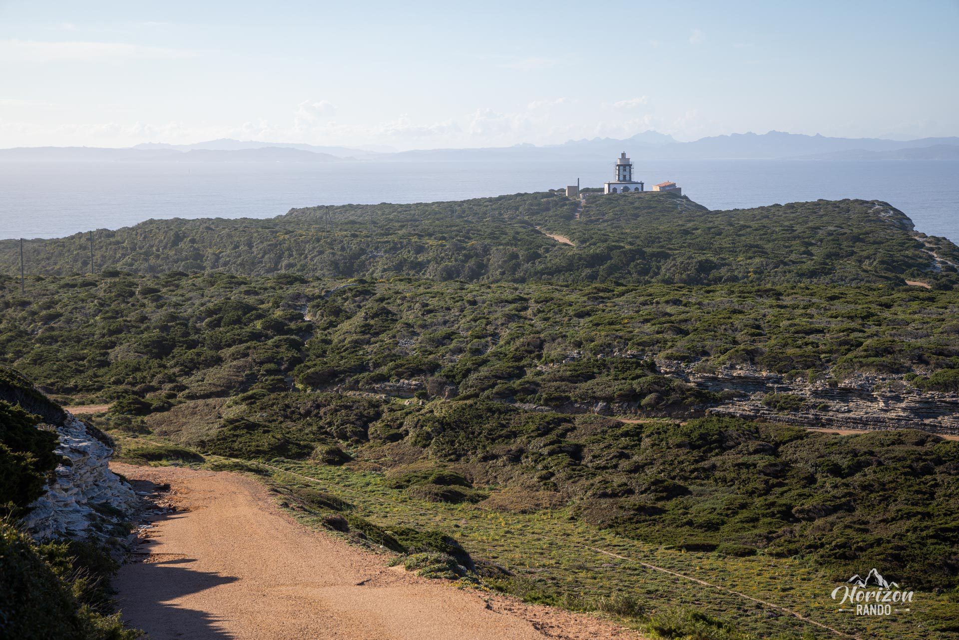
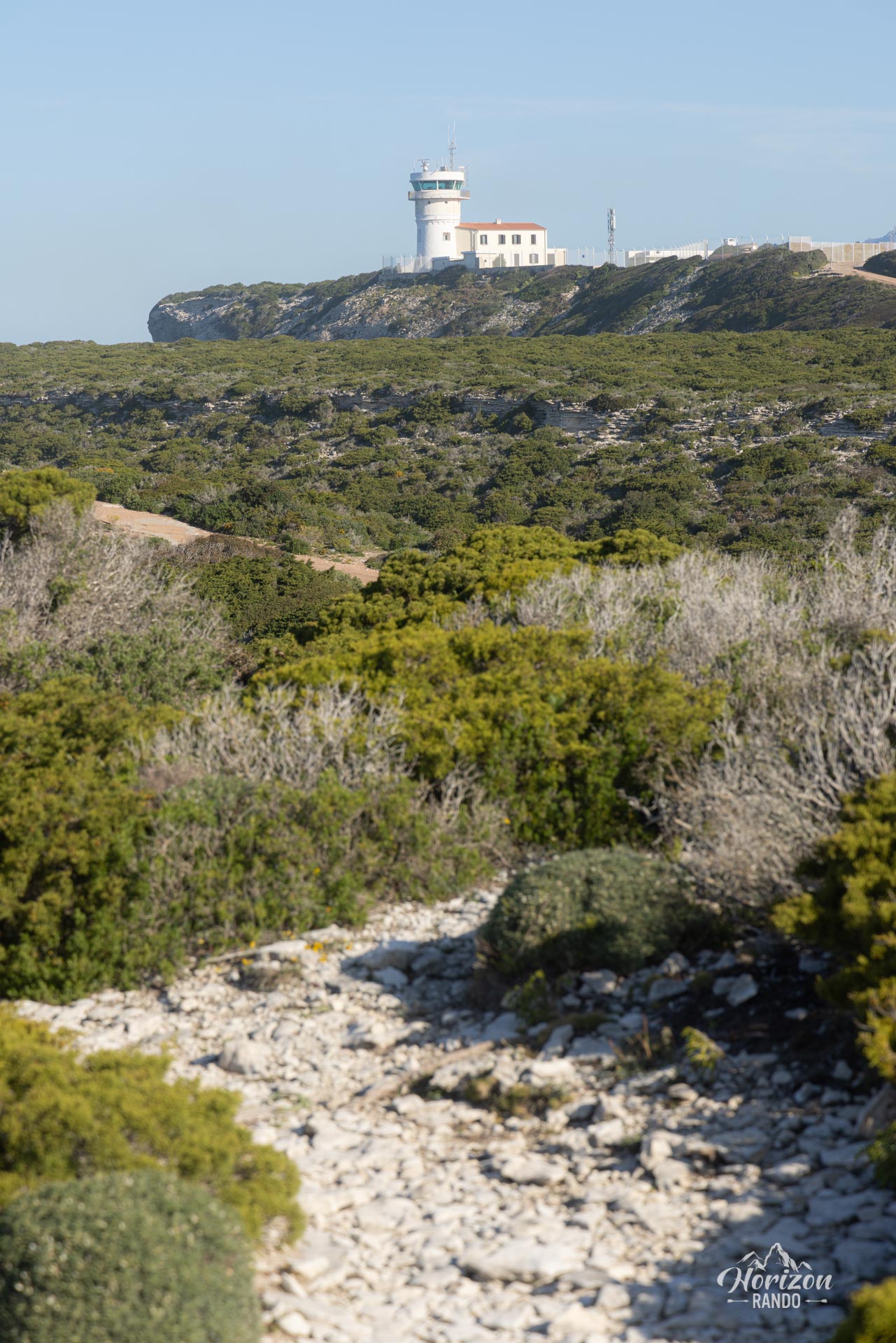
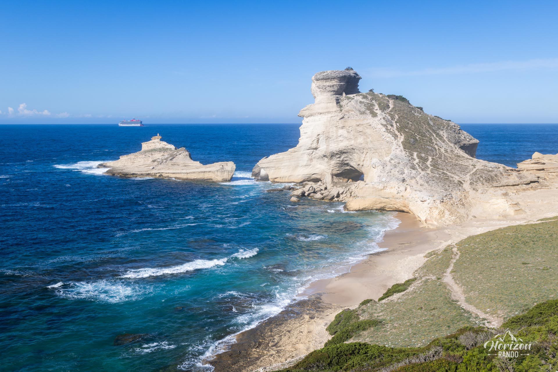
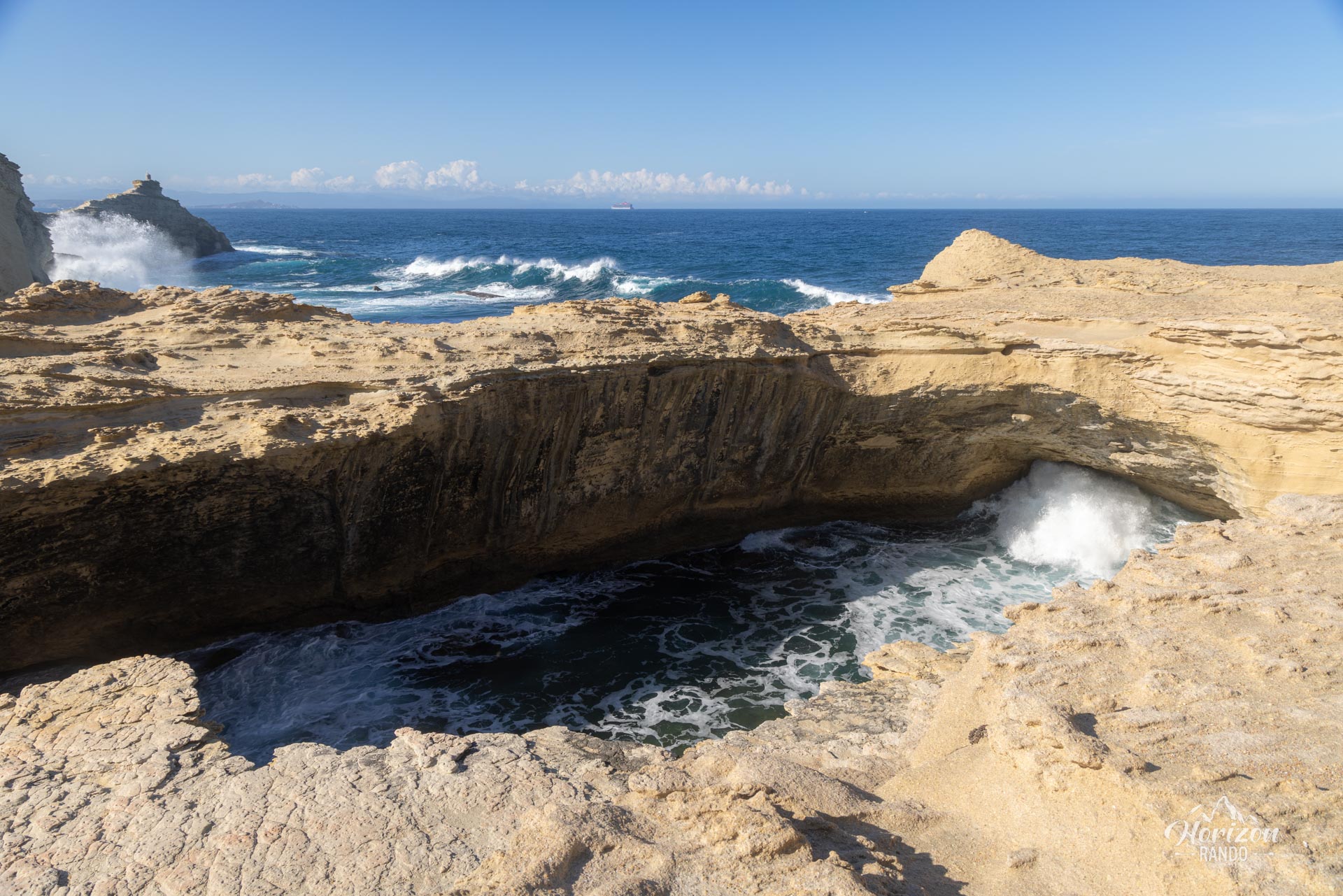
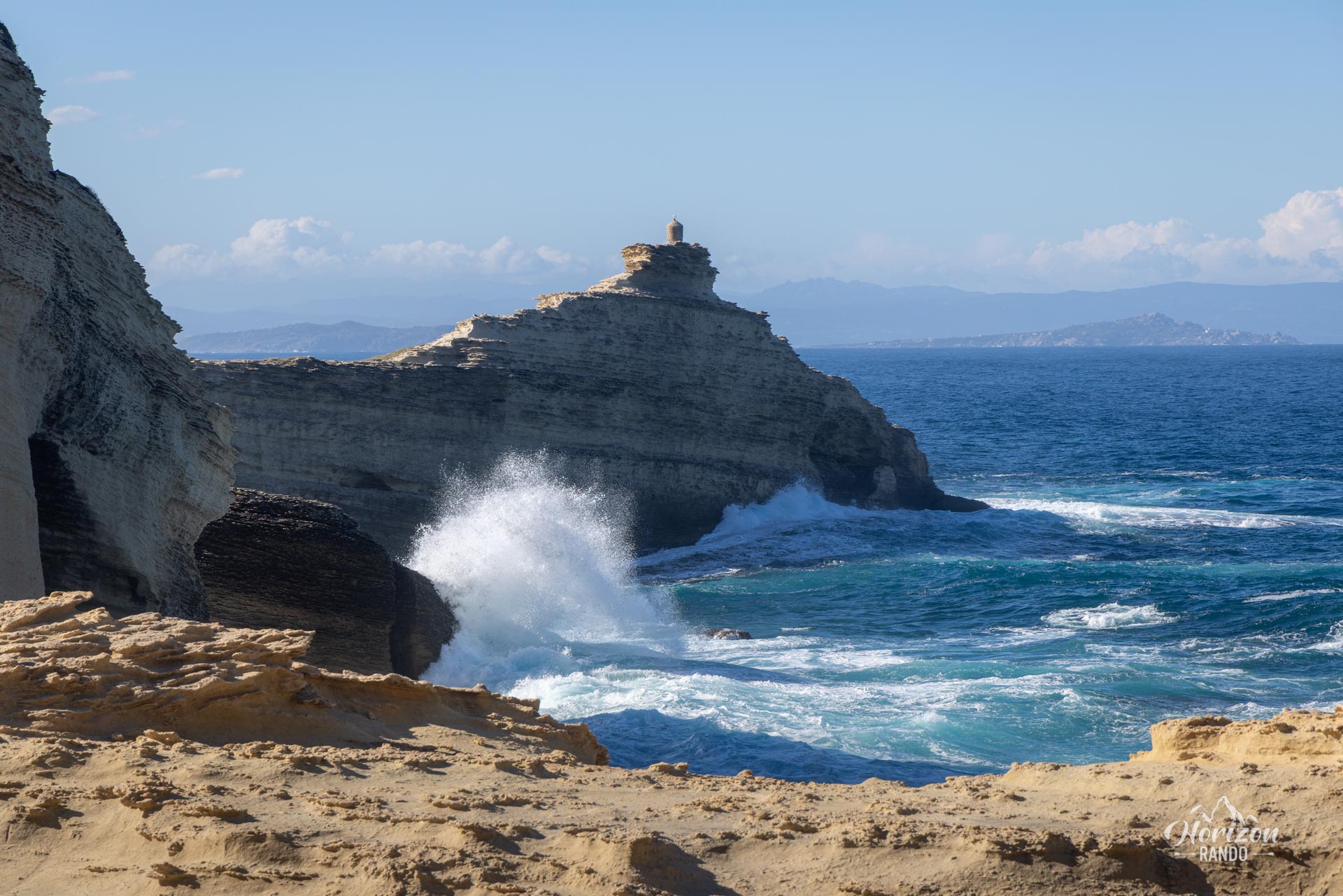
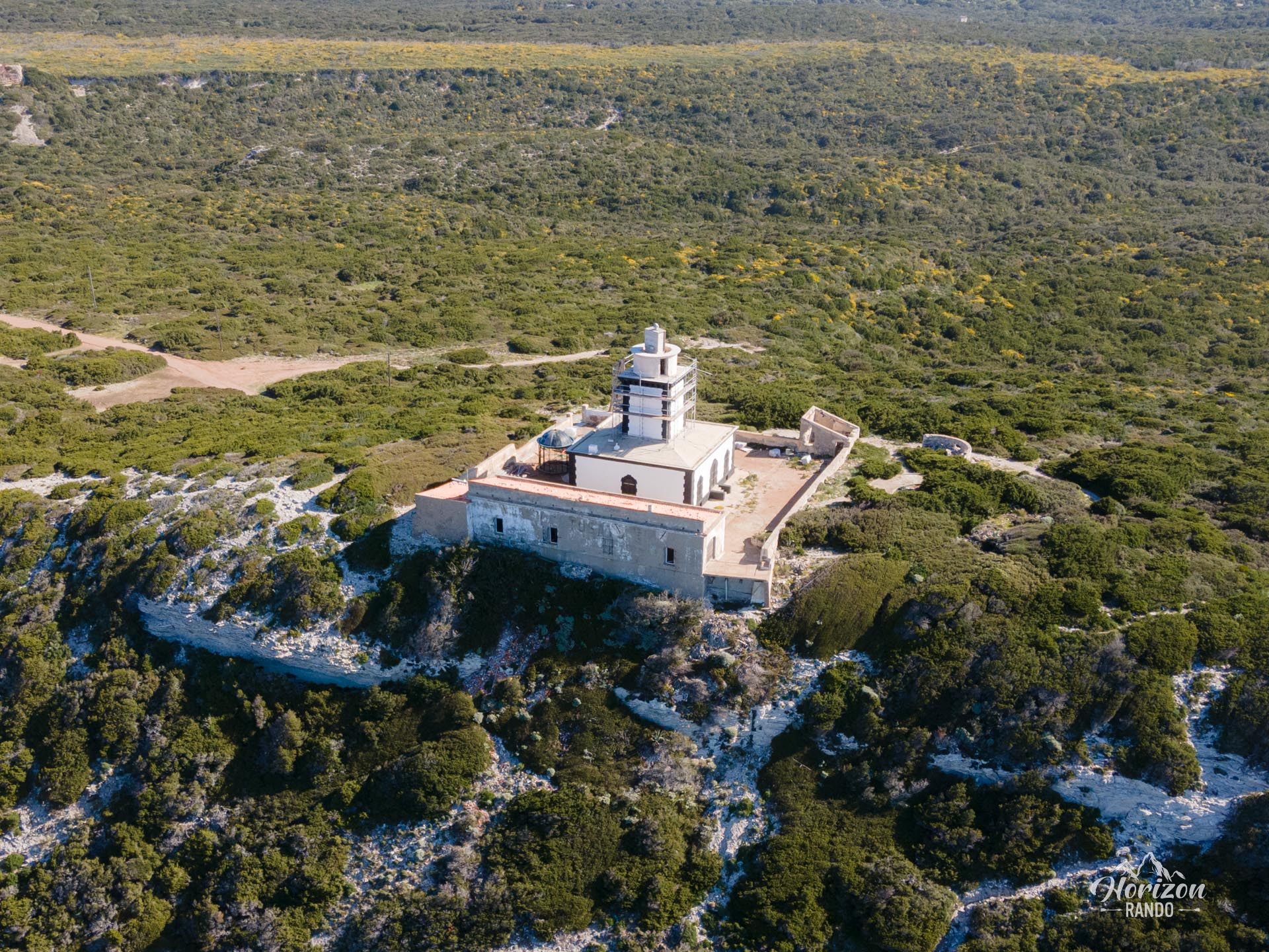
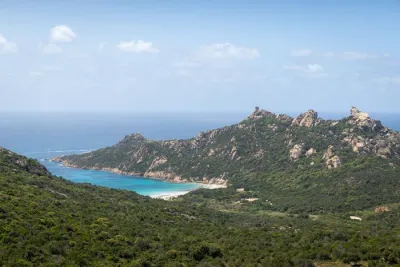
The route continues to the Pertusato lighthouse, passing the stunning Saint-Antoine Beach and the impressive Orca Cave. On a clear day, you can see the Lavezzi Islands and the coast of Sardinia, located about ten kilometers away.
Map and elevation profile of the hike
Capo Pertusato Hike
Difficulties of the hike
The route presents no technical difficulties. The well-maintained but unmarked trail is busy in the beginning, but becomes more peaceful. Note, however, that you must walk along the D260 road for about 600 meters, which slightly detracts from the hike's charm.
What you'll love
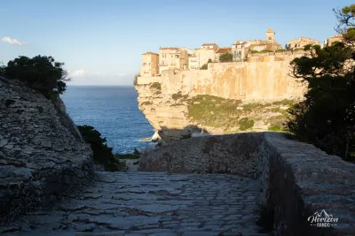
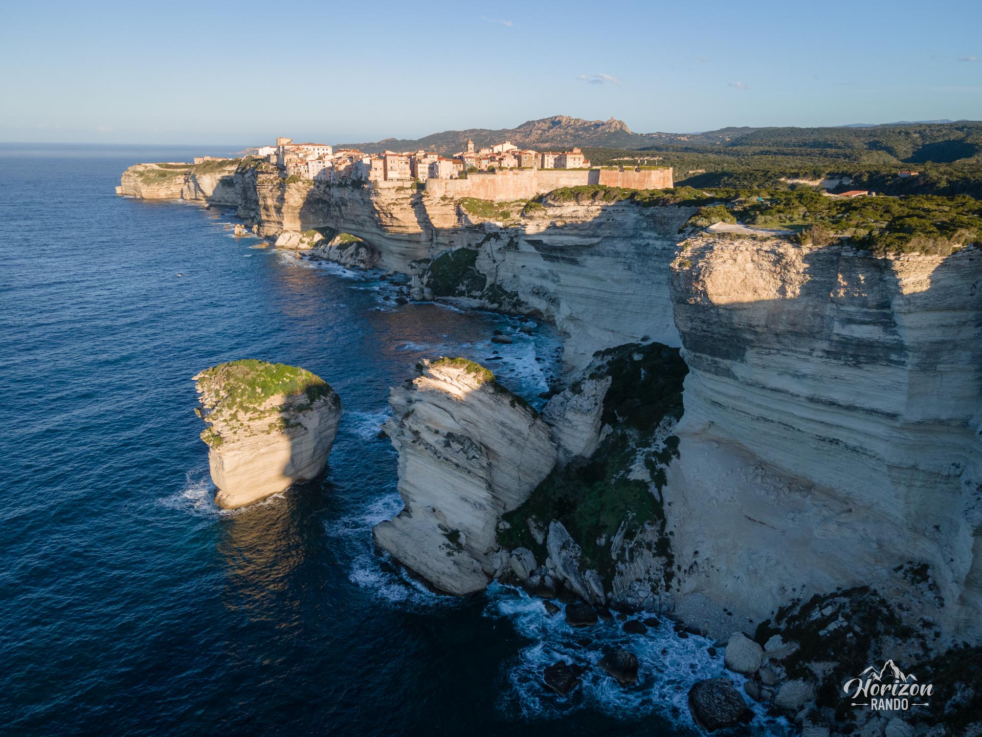
- Breathtaking views of the white limestone cliffs of the Accore coast and the citadel of Bonifacio: a spectacular sight where the houses seem to defy the void at the edge of vertiginous cliffs.
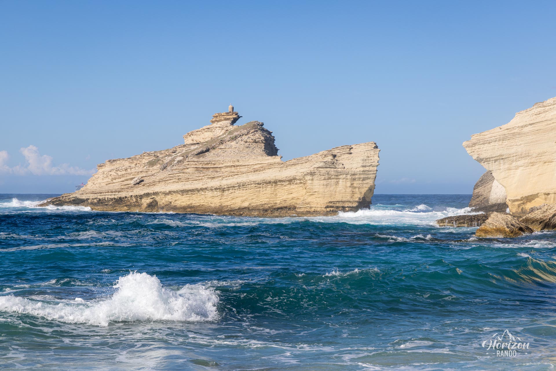
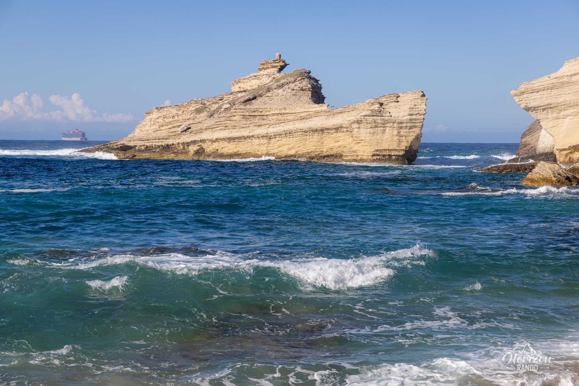
- The magnificent Saint-Antoine beach, with its fine sand, crystal-clear waters, and wild setting dominated by the imposing Pertusato lighthouse.
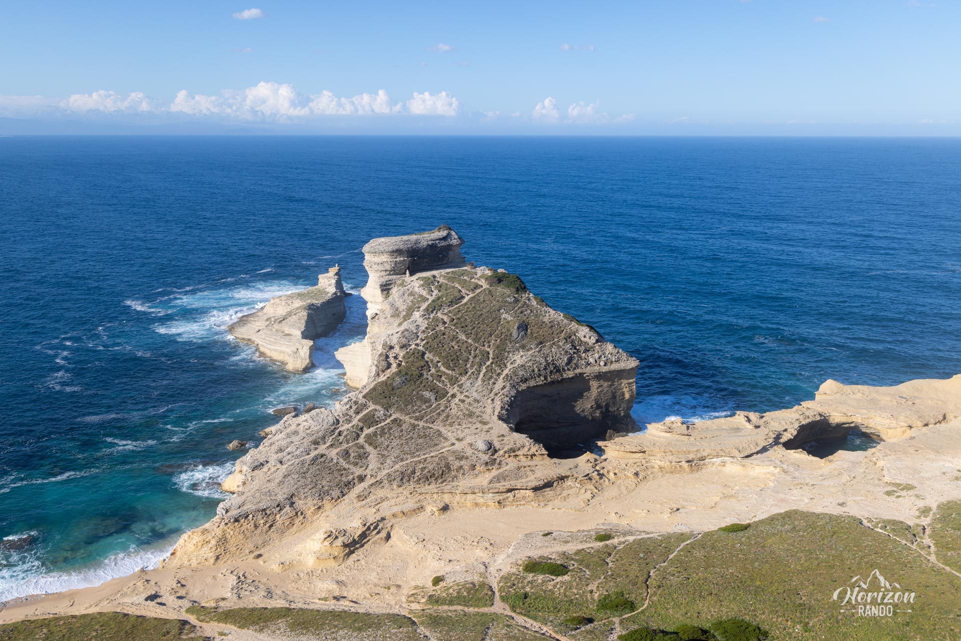
- The discovery of the Orca cave, a 30-meter-wide open-air cavity carved into the limestone, into which the sea waters rush.
Photos
See all 20 photos →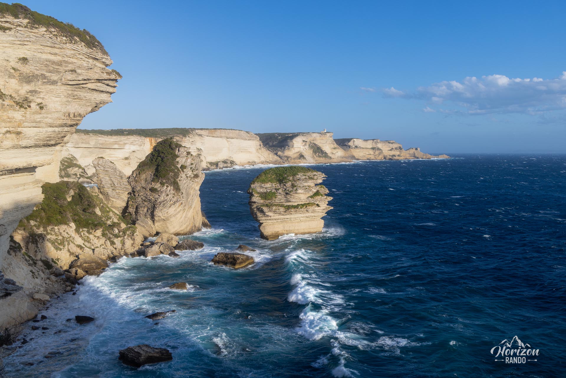
More hikes to do in Corsica
Nearby hikes







Printed from www.horizonrando.fr/en/corsica/capo-pertusato/