






Cuscione Plateau Hike
Key facts about the hike
- Difficulty
- Easy Hikes are rated from very easy to very hard: my difficulty scale
- Duration
- 3h15 Estimated time, short breaks included (photos, water, snacks), picnic not included: how it is calculated
- Distance
- 7.9km
- Elevation gain
- 180m
- Type of route
- Loop
- Maximum altitude
- 1,606 m
- Vertiginous Five levels, depending on how exposed the route is: the levels in detail
- No
- Marked
- No
- Popularity
- Moderate
- Region
- South-East
- Start point
- 41.82335, 9.14185
- Activity
- Hiking
Hike overview
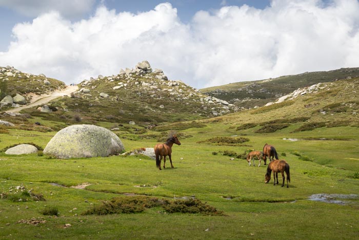
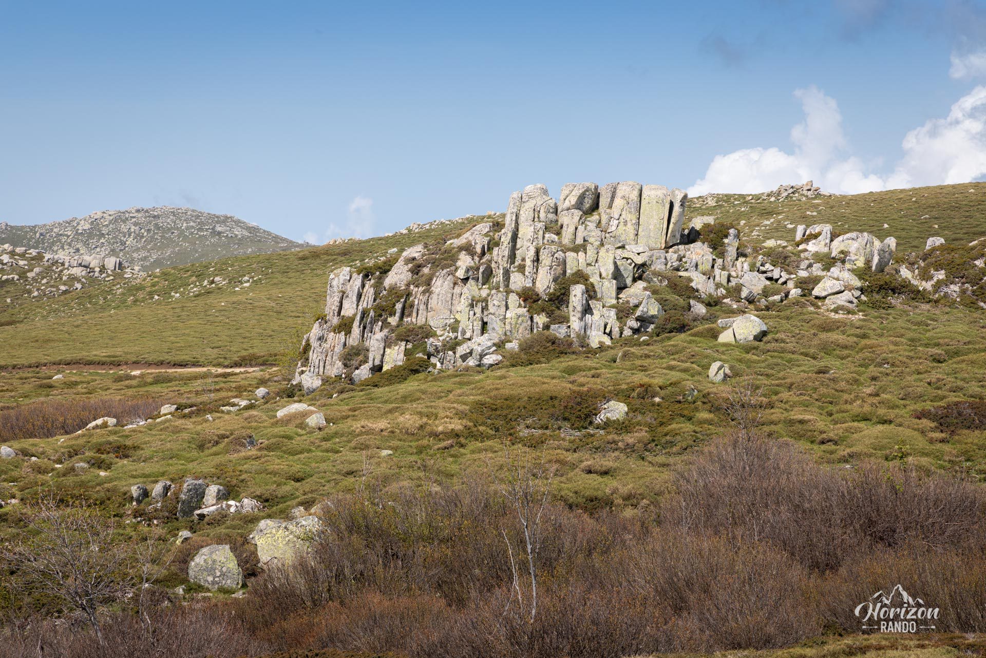
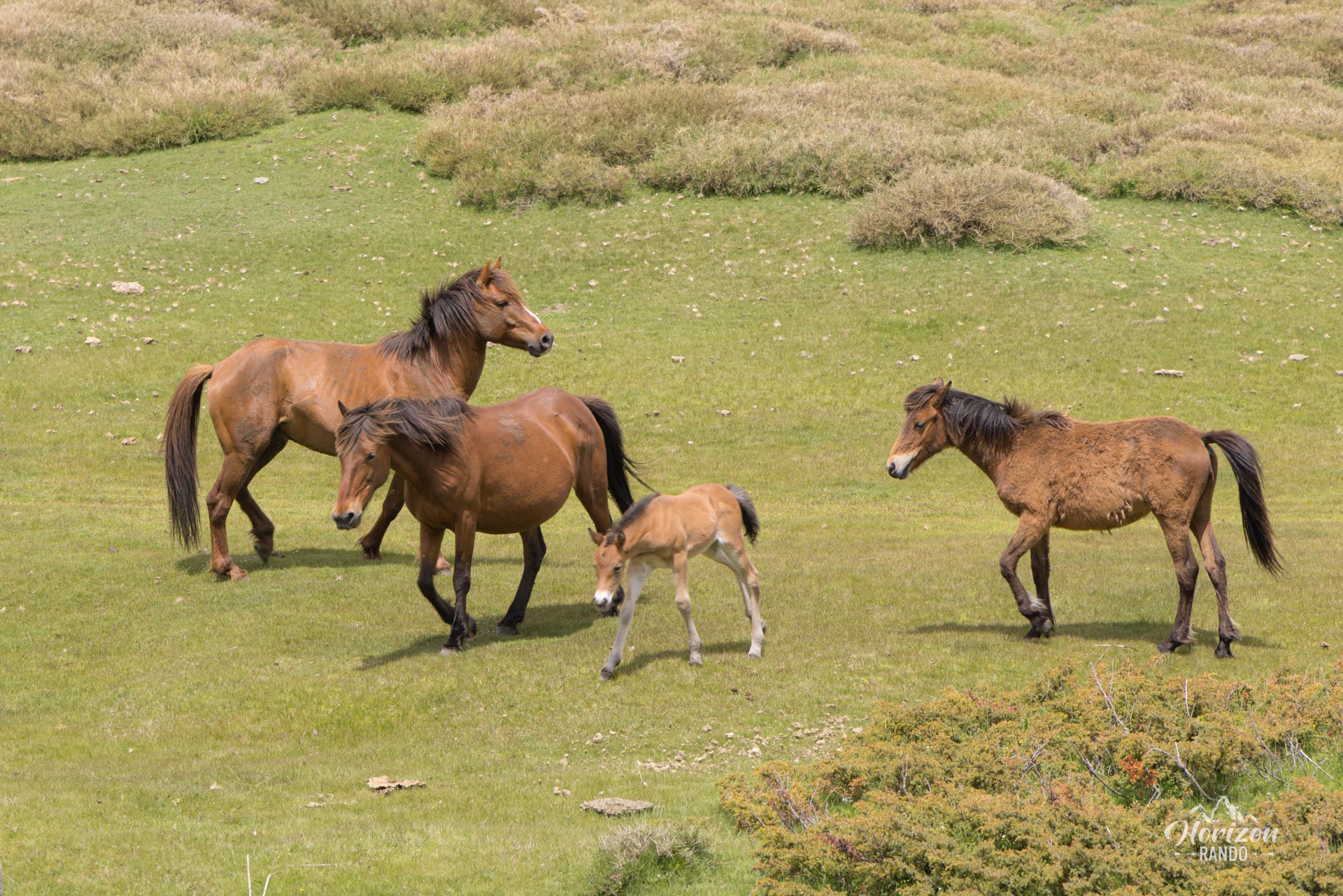
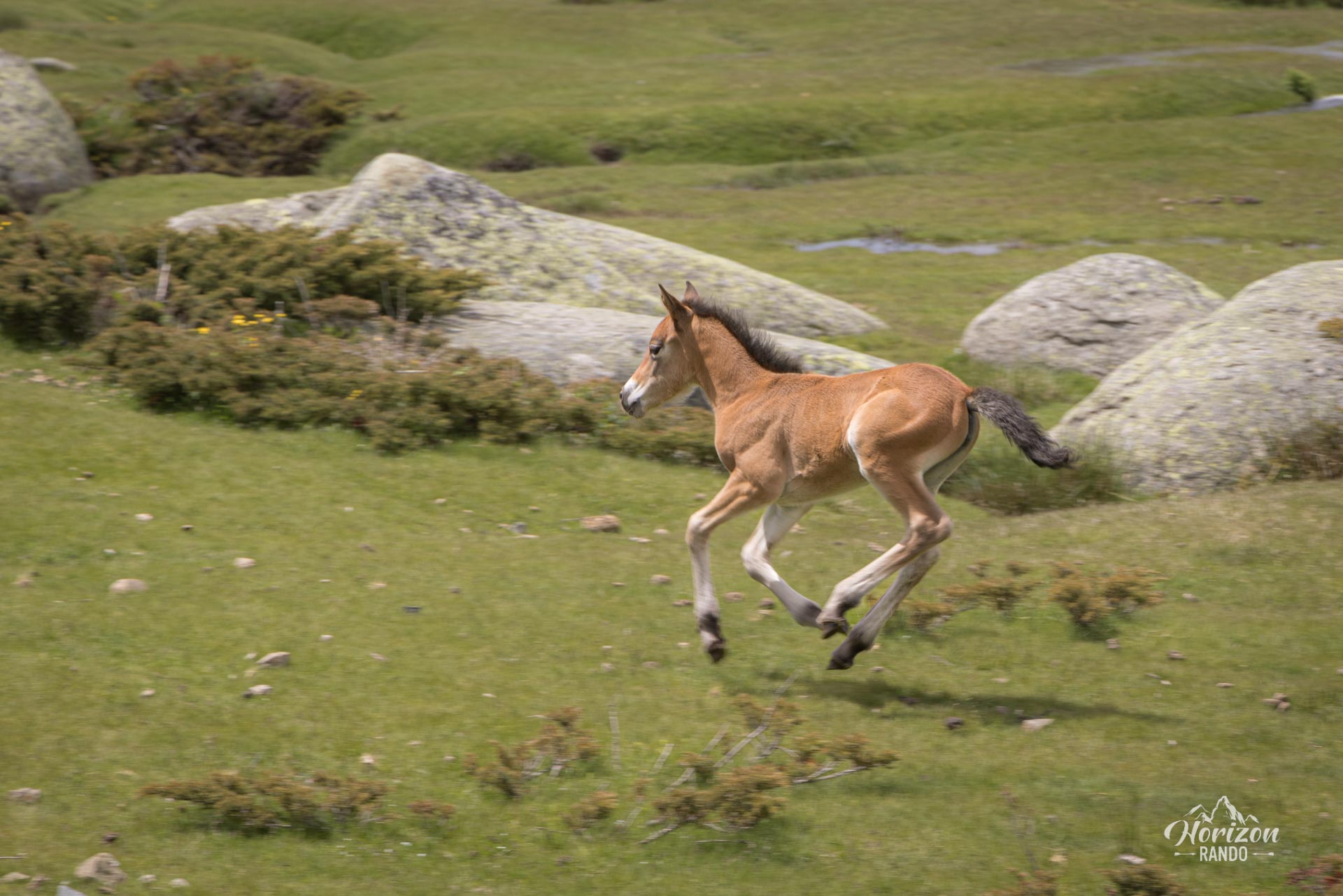
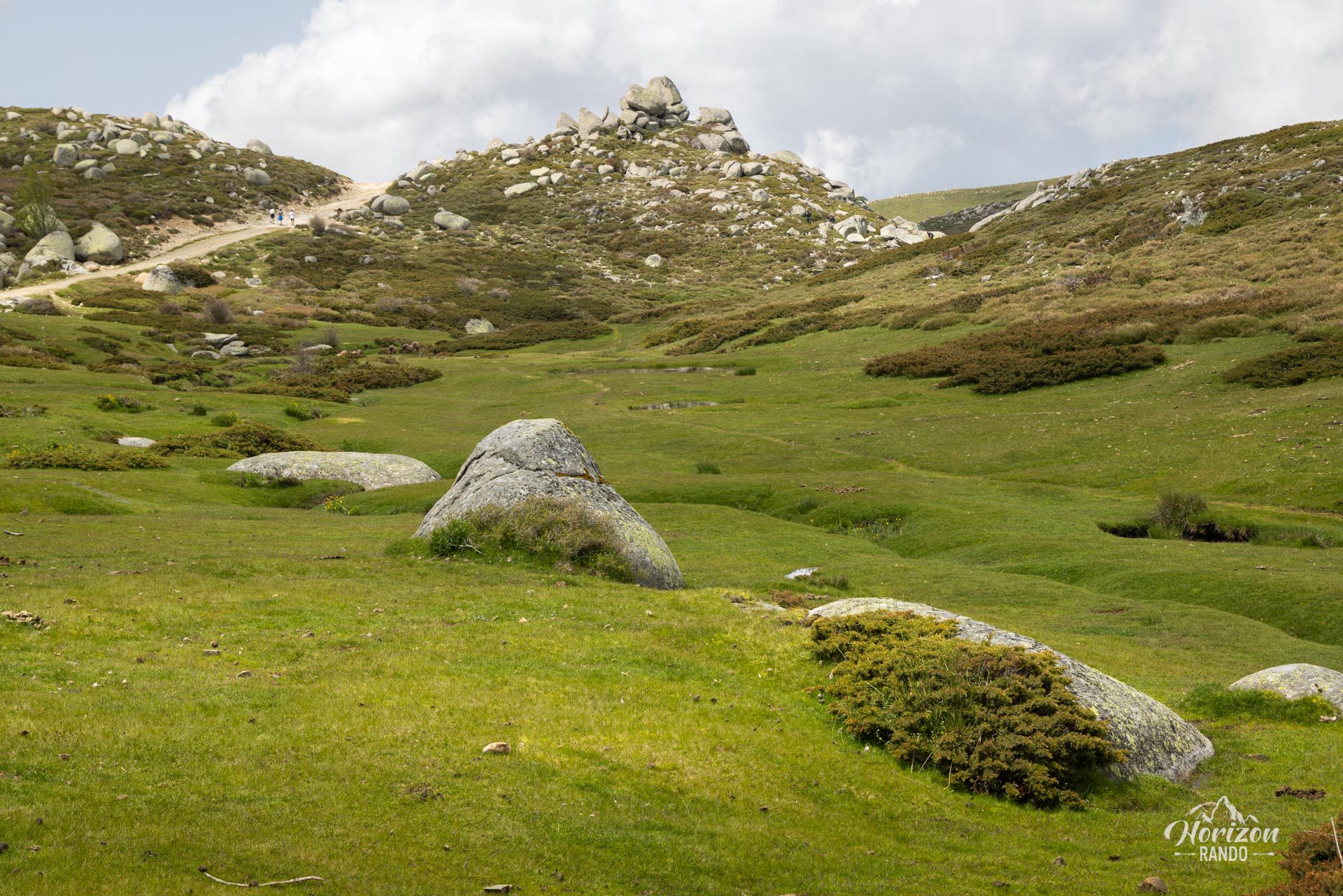
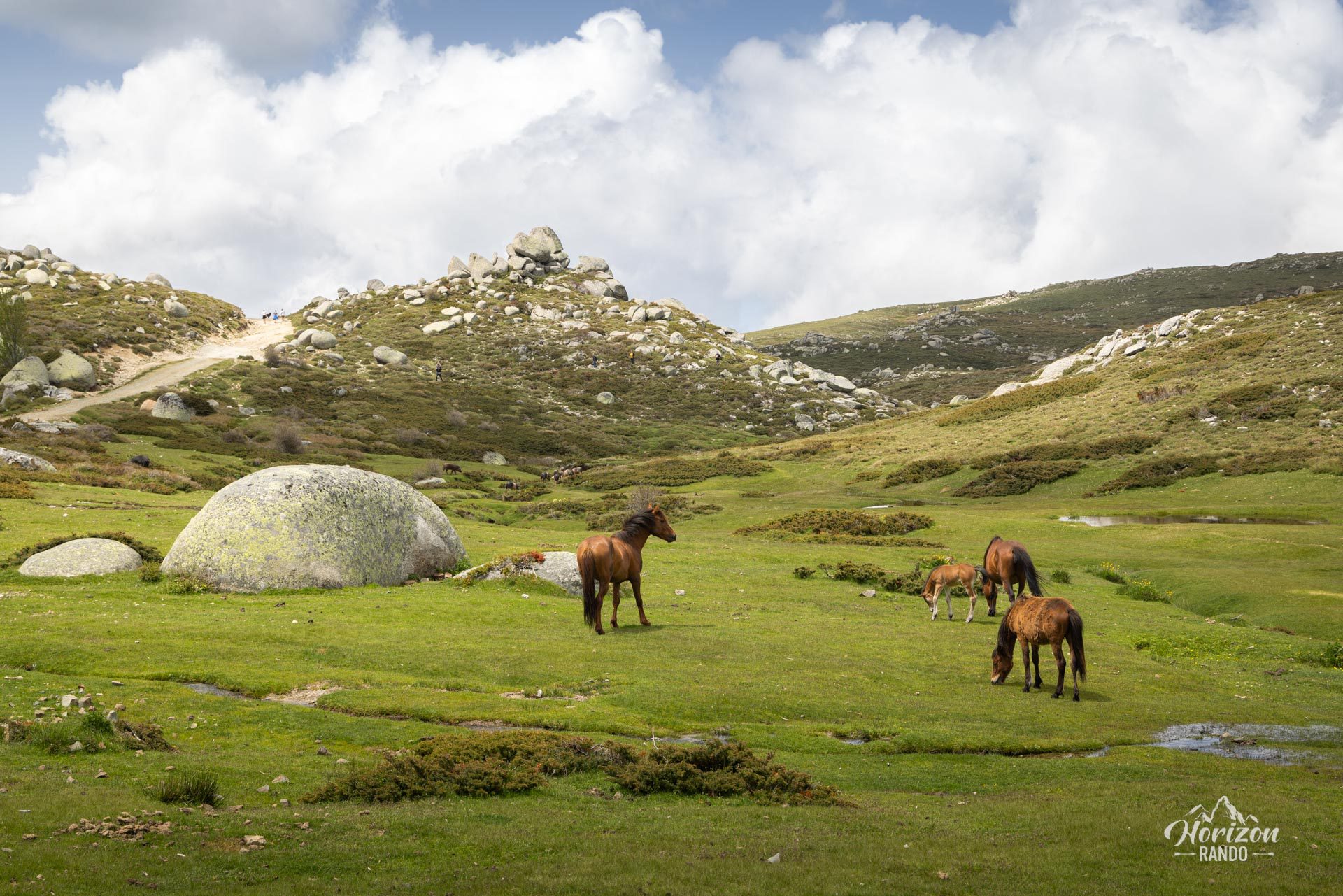
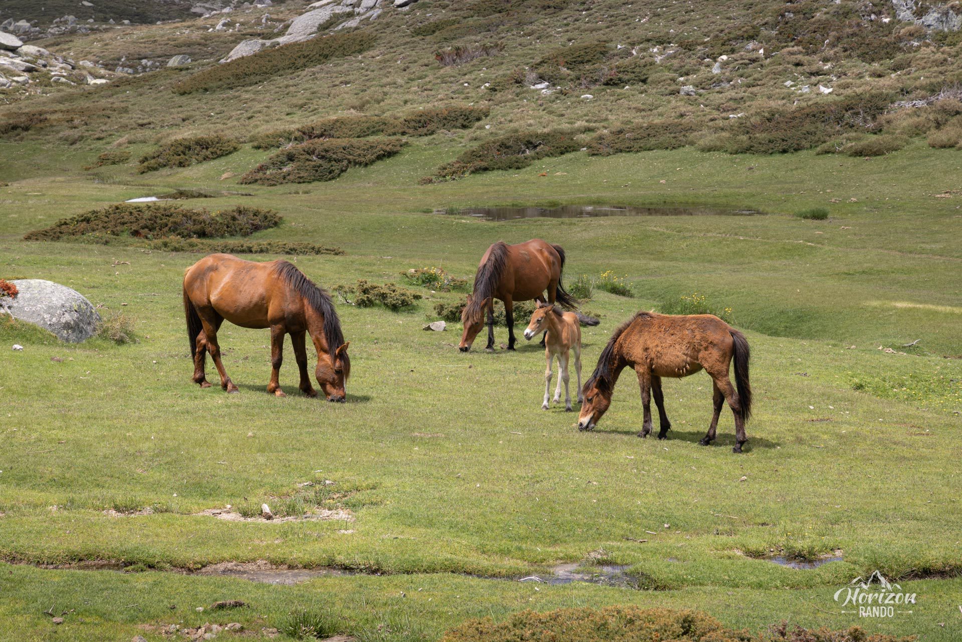
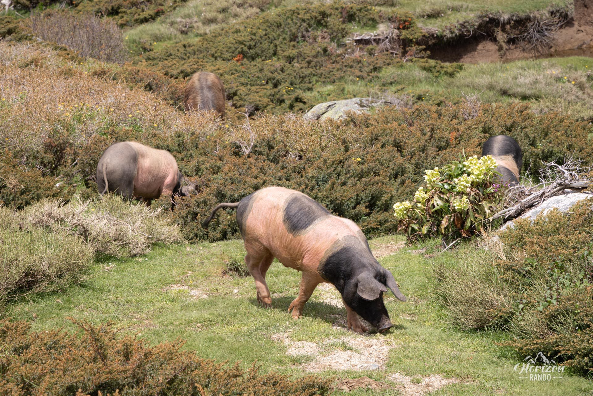
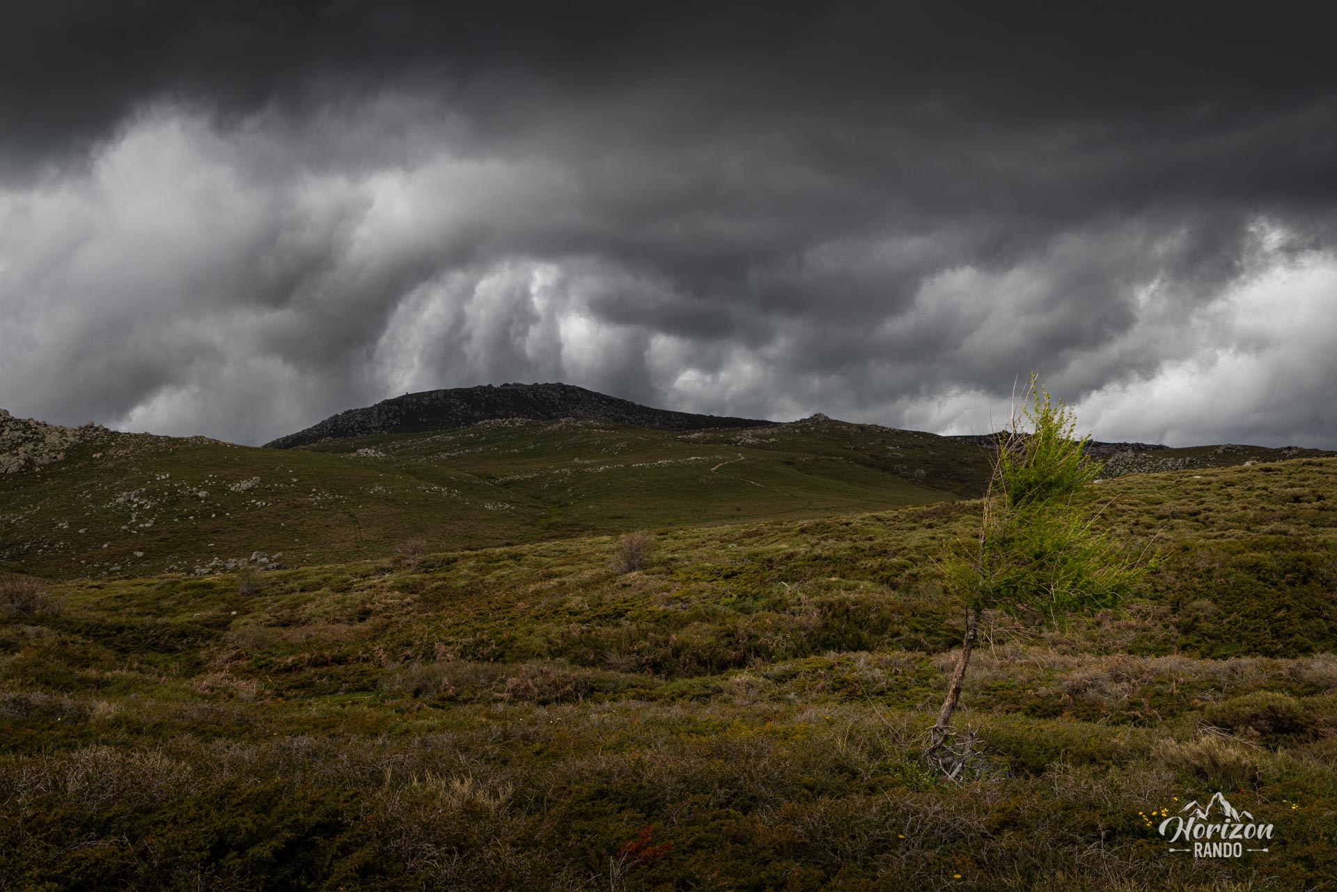
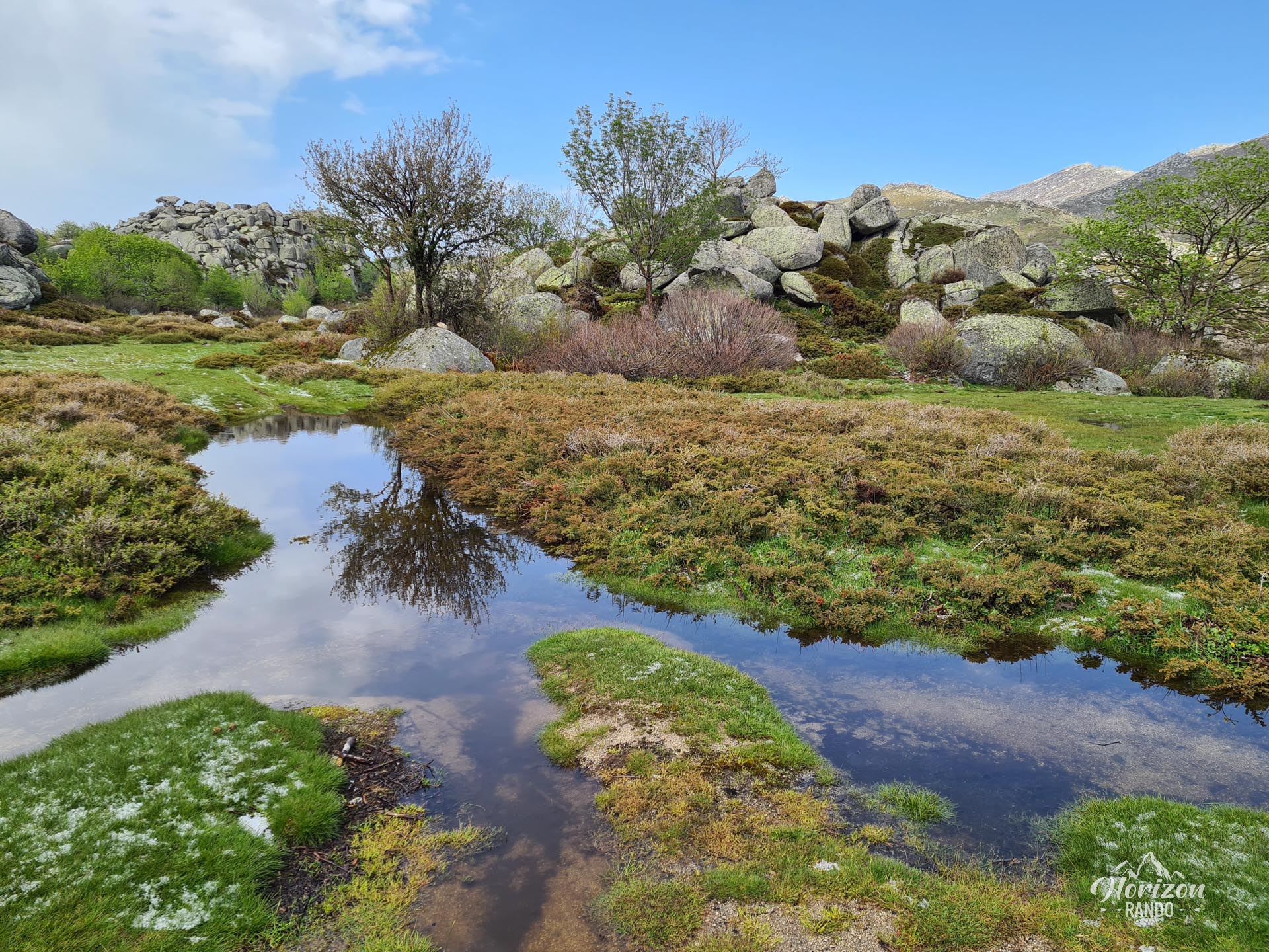
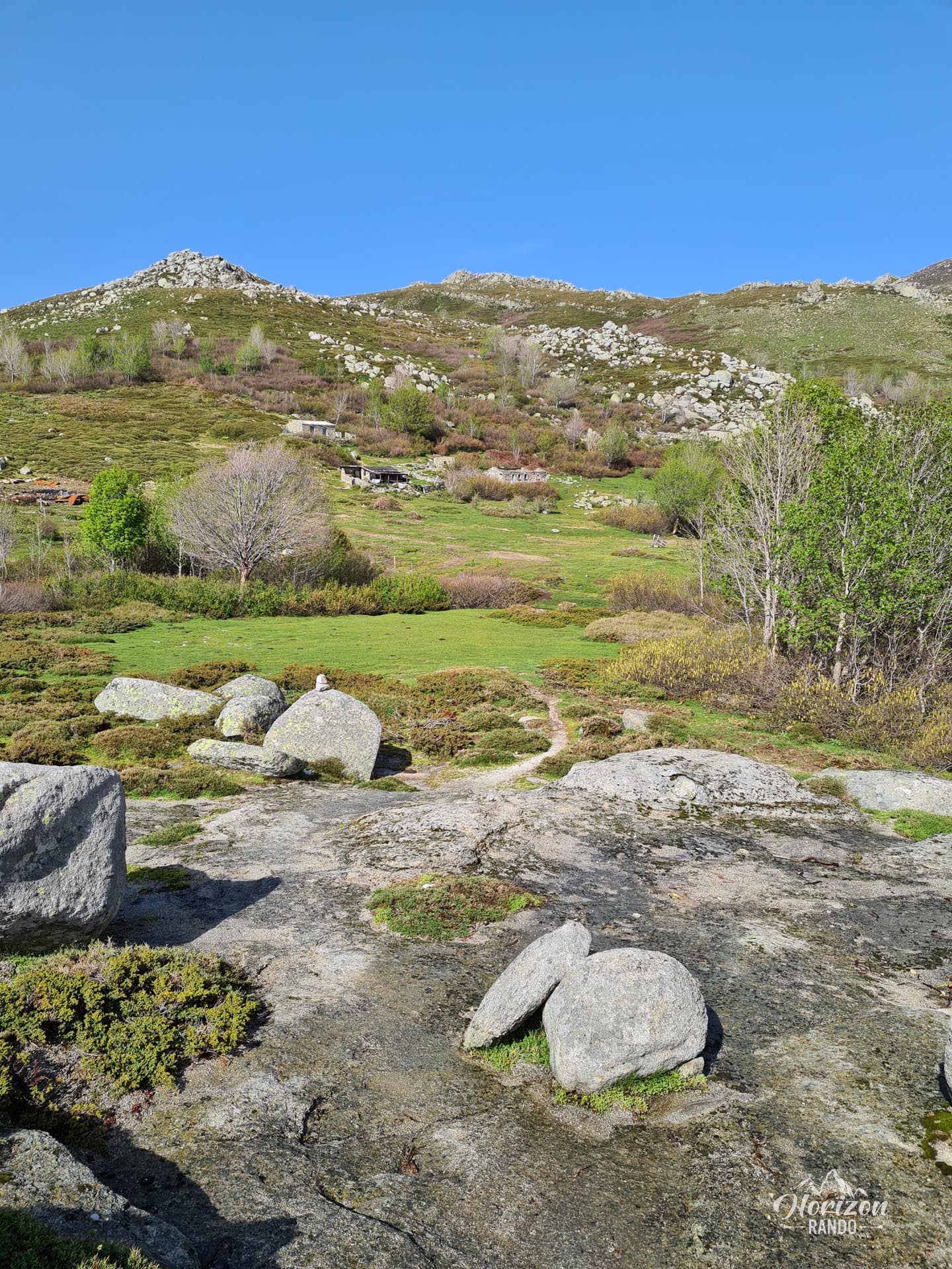
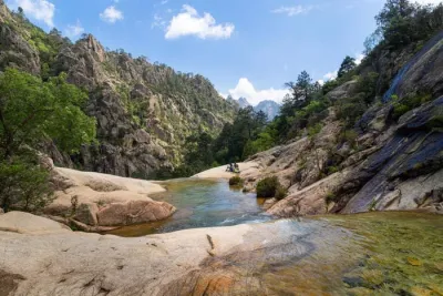
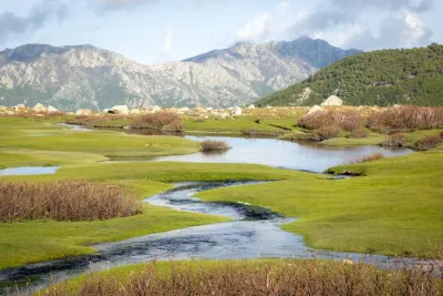
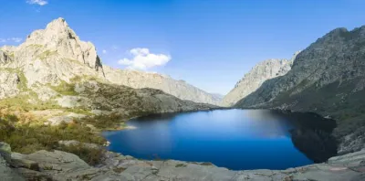
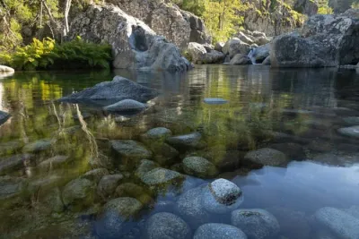
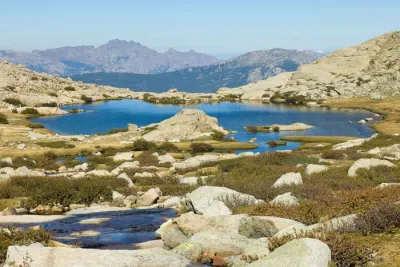
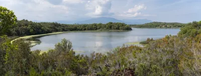
The Plateau du Coscione hike takes you to a unique area of the Corsican mountains. Unlike the typical arid and rocky trails, this route winds through lush green countryside dotted with pozzines and streams. Horses, cows, and pigs roam freely at an altitude of 1,500 meters in this tranquil setting.
A true haven of peace in the Incudine Massif, the plateau invites you to take a contemplative stroll and experience Corsica's remarkable flora and fauna in an unparalleled setting.
Map and elevation profile of the hike
Cuscione Plateau Hike
Difficulties of the hike
This hike presents no technical difficulties. The terrain is relatively flat with a slight elevation gain, making it an ideal route for families and inexperienced hikers.
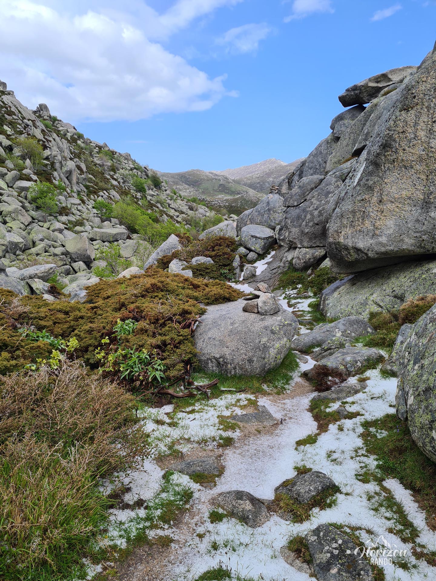
Although the trails are in excellent condition, they are not marked, but rather dotted with cairns and a few directional signs. Since there are quite a few intersections, a GPS or detailed map is useful for avoiding getting lost.
What you'll love
- Encountering animals in semi-freedom: Horses, cows, and pigs roam peacefully in this pristine natural setting.
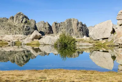
- Discovering the pozzines: Unique geological formations dotted with water holes and spongy lawns that are reminders of the Ice Age.
- A green, refreshing setting that contrasts sharply with Corsica's usual rocky trails.
Practical information
Access and parking
Free parking is available at the Bucchinera refuge at the end of the road. The refuge is a former stopover lodge that is now closed to the public. Allow 45 minutes to cover the 10 km raod track from Quenza due to its poor condition and numerous potholes.
Available trails
Five routes depart from the refuge. Durations range from one hour and forty-five minutes to three hours and thirty minutes. These routes are the Stone Trail, the Water Trail, the Punta di Ghjavingnolu Trail, the Punta di Rinuccio Trail, and the Shepherds' Trail. The hike described here corresponds to the Shepherds' Trail. It can easily be combined with another circuit for an even more complete experience.
Photos
See all 14 photos →
More hikes to do in Corsica
Nearby hikes






Printed from www.horizonrando.fr/en/corsica/coscione-plateau/