





Monte Castellare Hike
Key facts about the hike
- Difficulty
- Easy Hikes are rated from very easy to very hard: my difficulty scale
- Duration
- 2h45 Estimated time, short breaks included (photos, water, snacks), picnic not included: how it is calculated
- Distance
- 7.1km
- Elevation gain
- 440m
- Type of route
- Loop
- Maximum altitude
- 1,011 m
- Vertiginous Five levels, depending on how exposed the route is: the levels in detail
- No
- Marked
- Yes
- Popularity
- Low
- Region
- North-East
- Start point
- 42.49249, 9.35631
- Activity
- Hiking
Hike overview
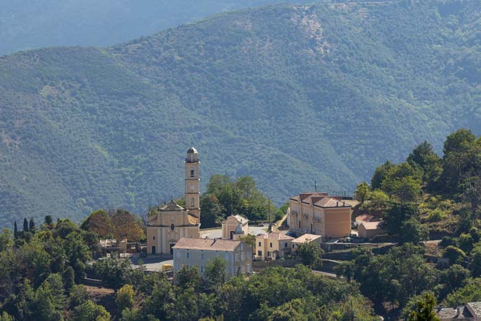
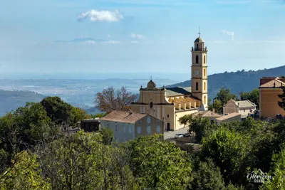
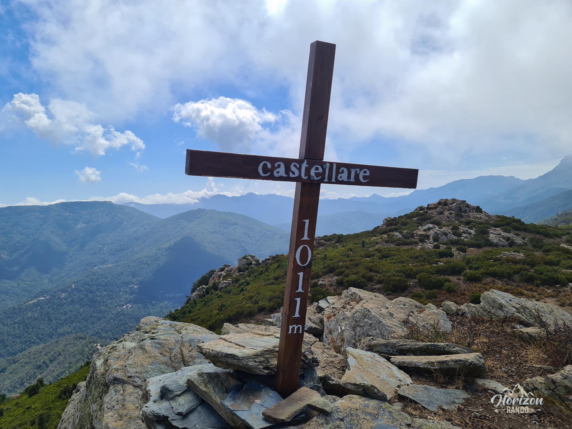
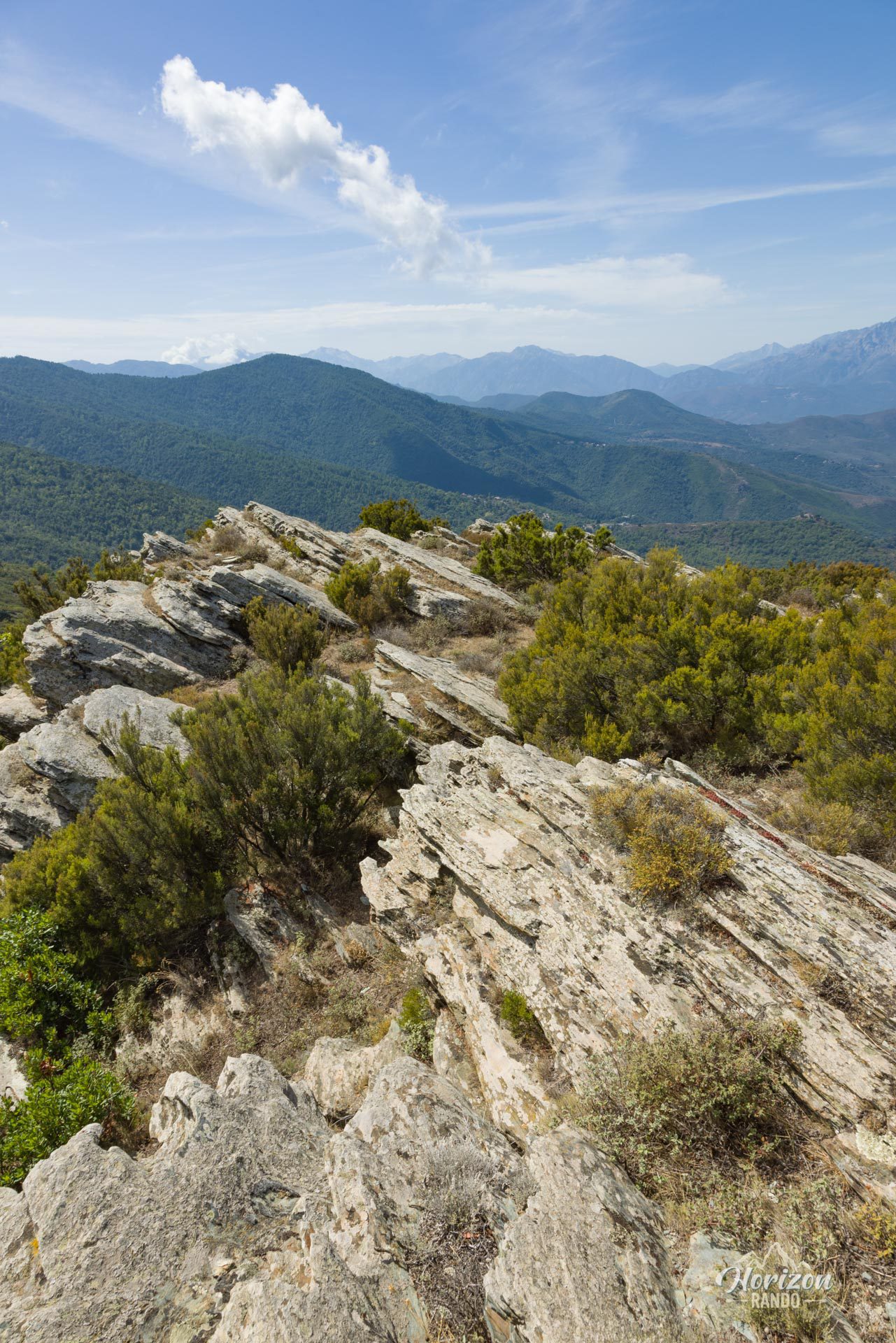
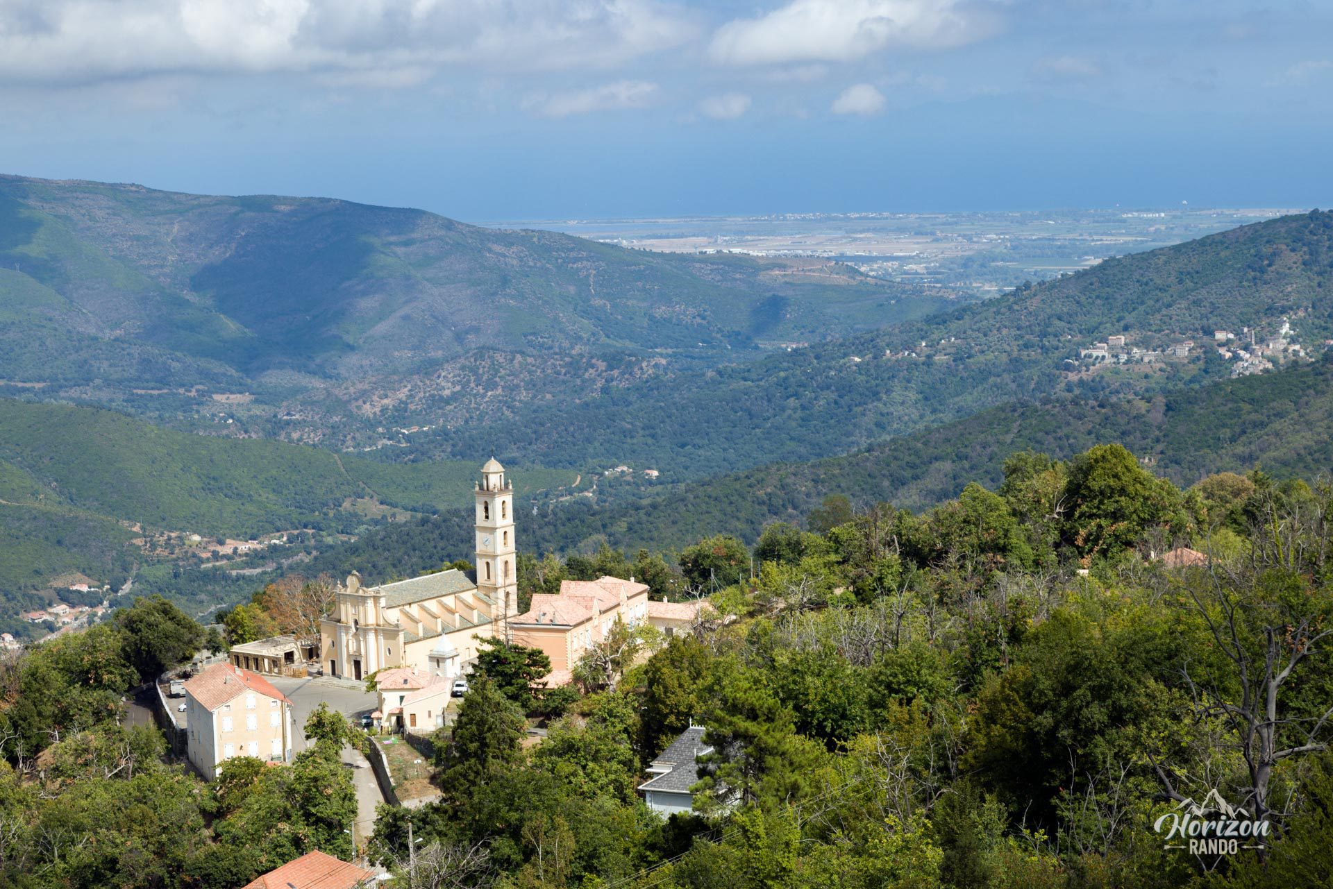
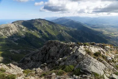
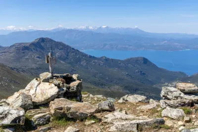
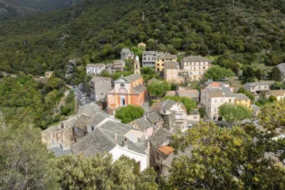
The Monte Castellare hike is a beautiful walk through northeastern Corsica, beginning in the charming village of Campile. The small peak rises to an altitude of 1,011 meters, offering remarkable views of the surrounding valleys, the Bastia plain, and the Tuscan islands on clear days.
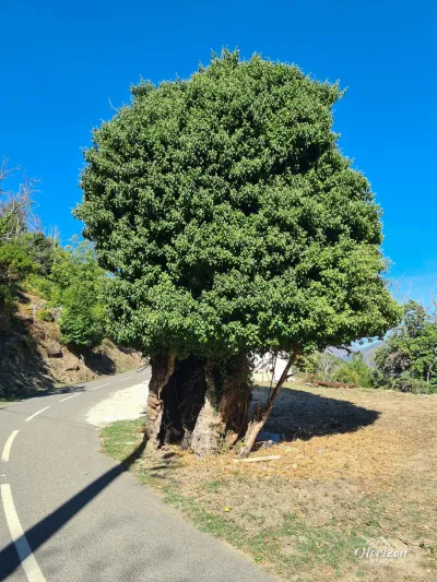
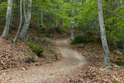
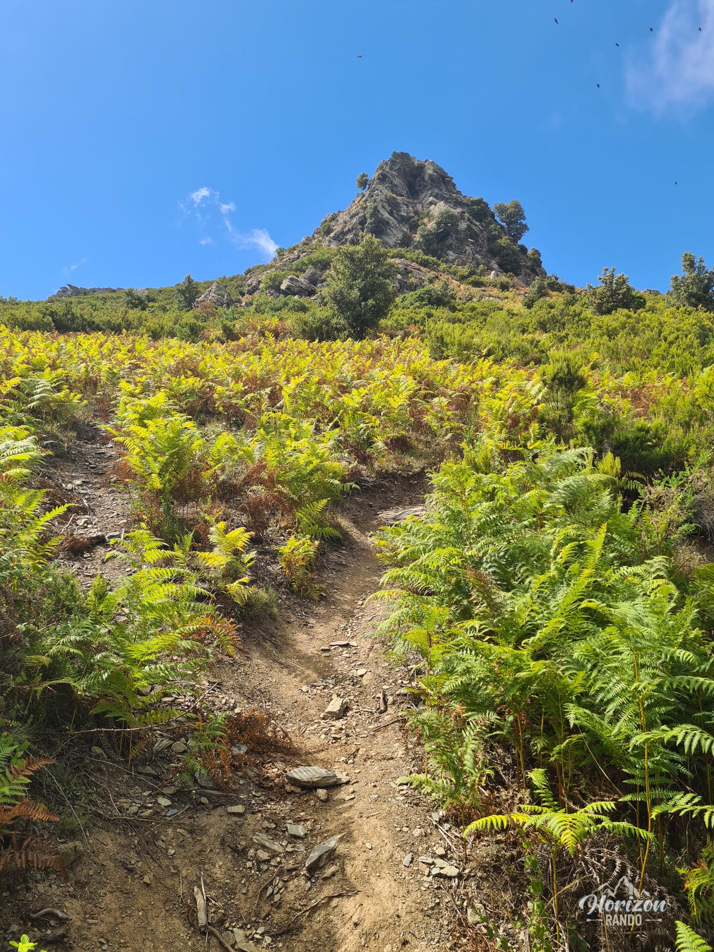
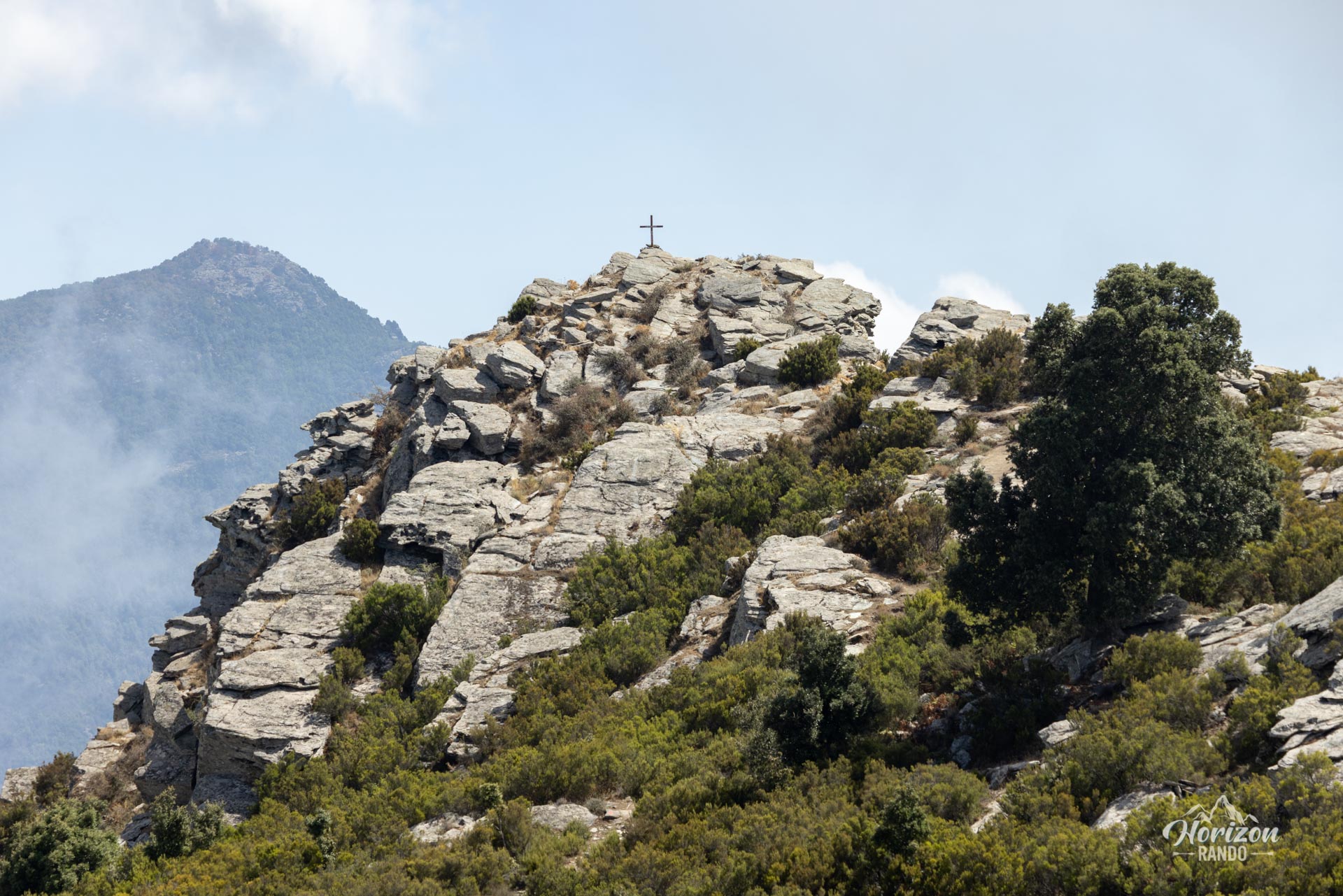
This accessible and well-marked loop alternates between shaded passages under chestnut trees and open terrain towards the summit, which is marked by a wooden cross and a majestic, isolated holm oak tree.
Map and elevation profile of the hike
Monte Castellare Hike
Difficulties of the hike
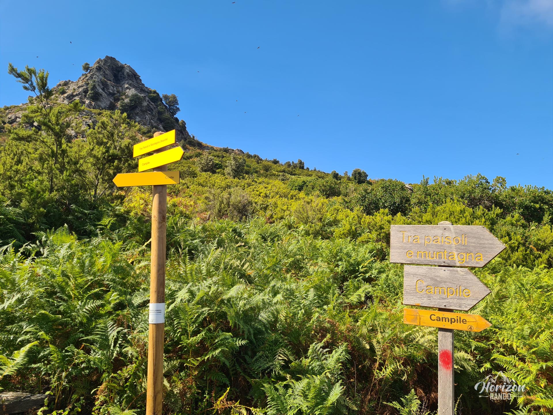
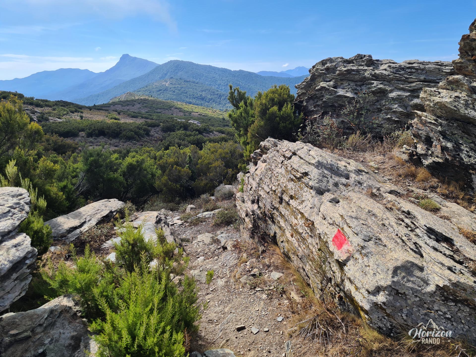
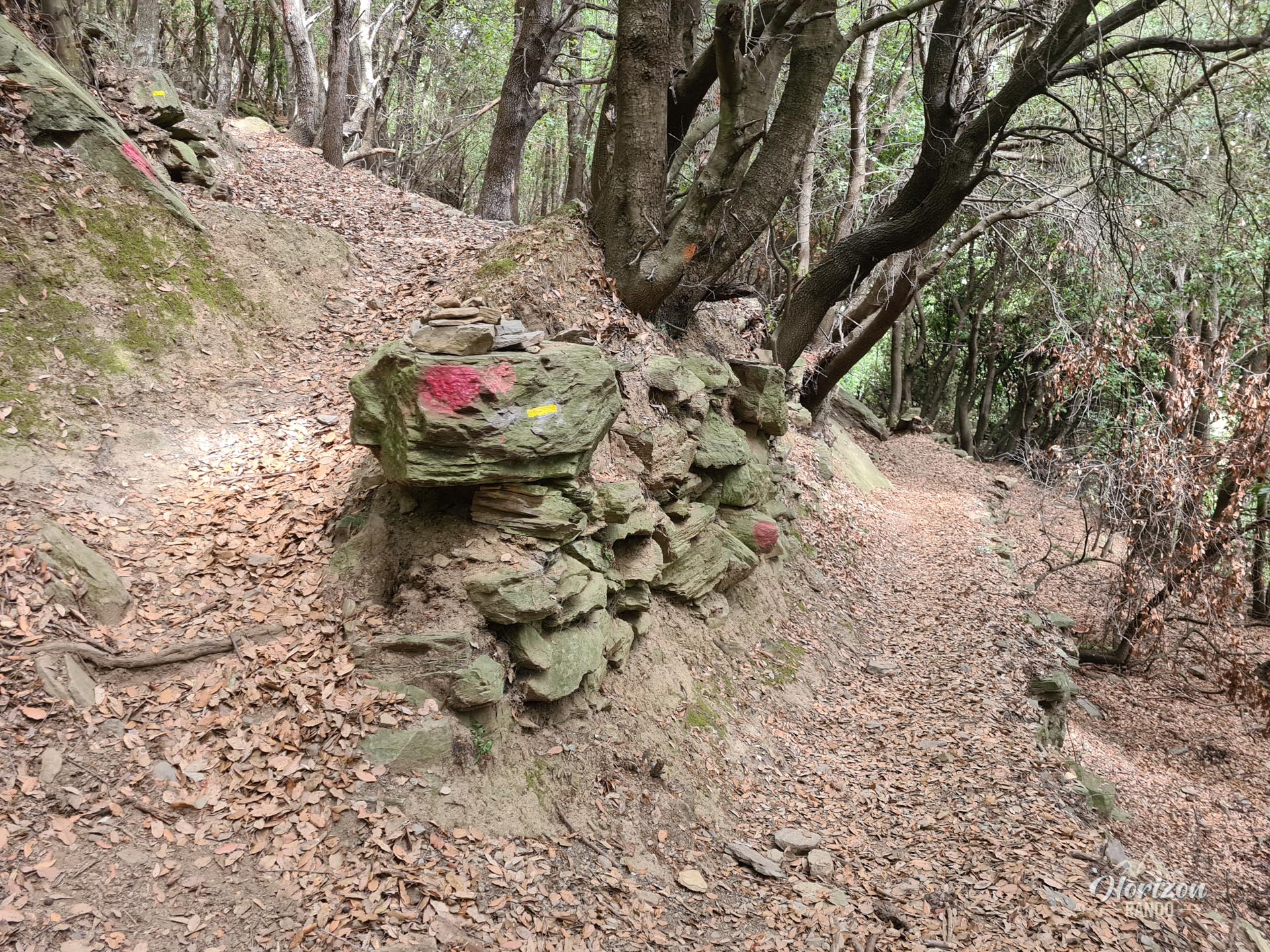
This hike presents no technical difficulties and is suitable for all levels. The well-marked trail is punctuated with directional signs at strategic locations. The hike is mainly through the woods with a steady climb and no steep sections, making it a pleasant excursion for the whole family.
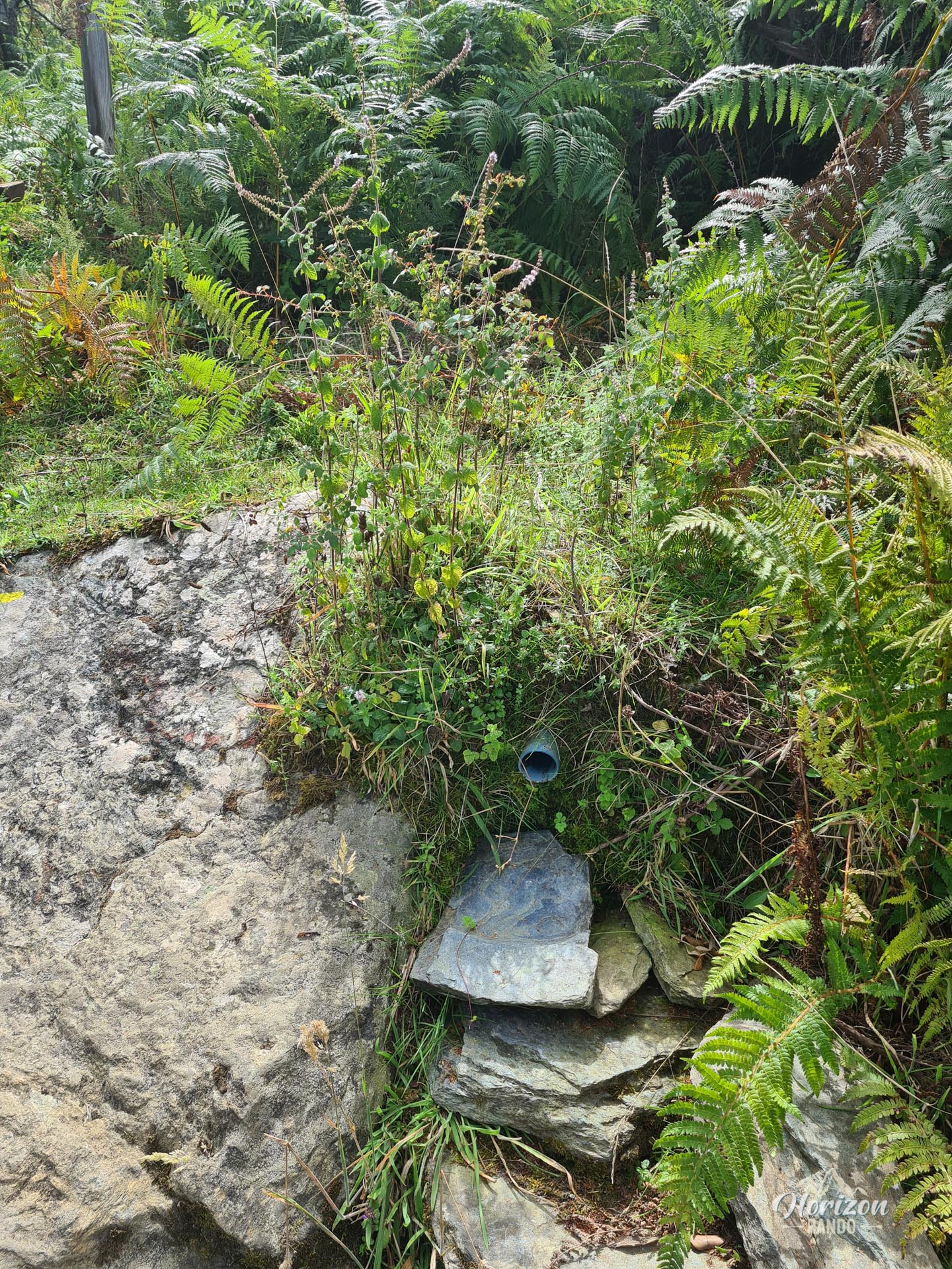
The return trip follows the same route to the Alberadu fountain, which may be dry at the end of the season. Then, it crosses the hamlet of Costa before reaching Campile via a forest trail.
What you'll love
- The 360° panorama from the summit, revealing the Bastia plain, the Mediterranean Sea, and the surrounding valleys and villages.
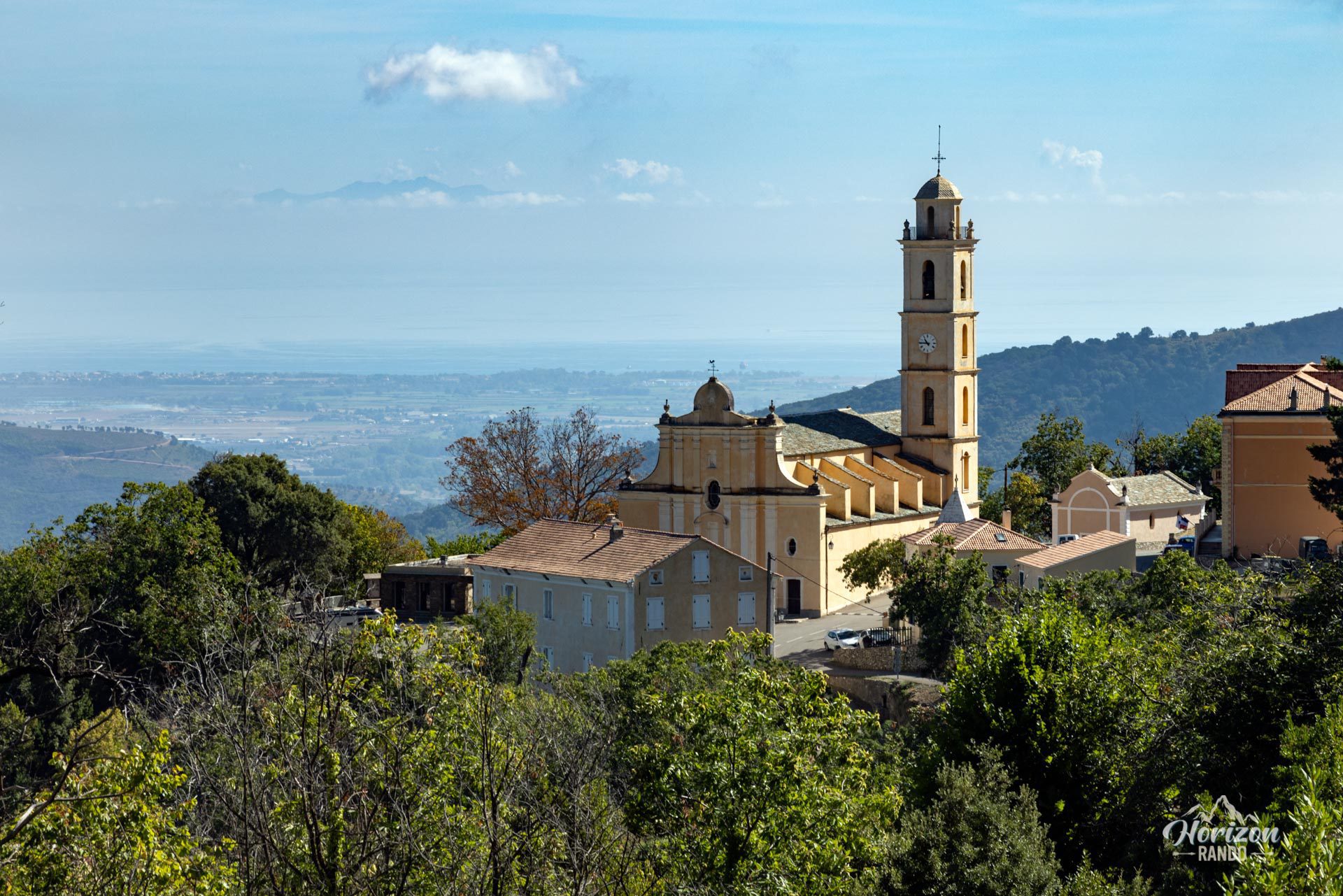
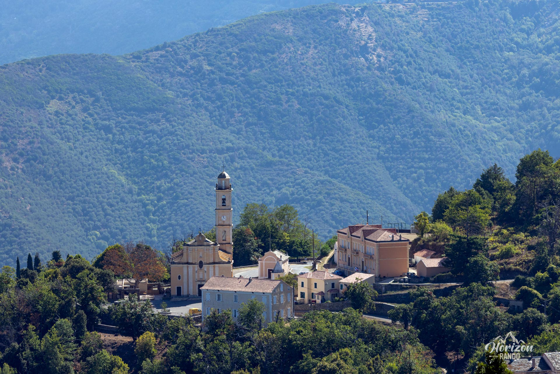
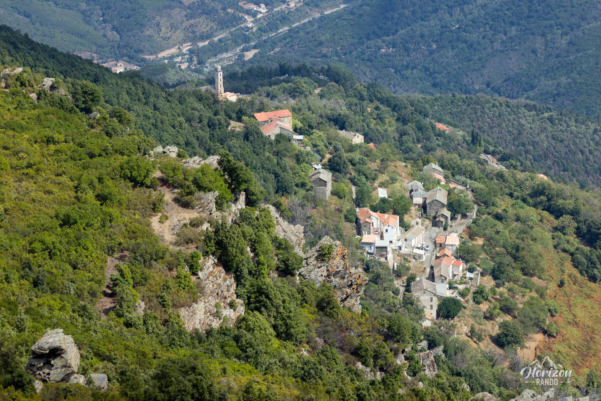
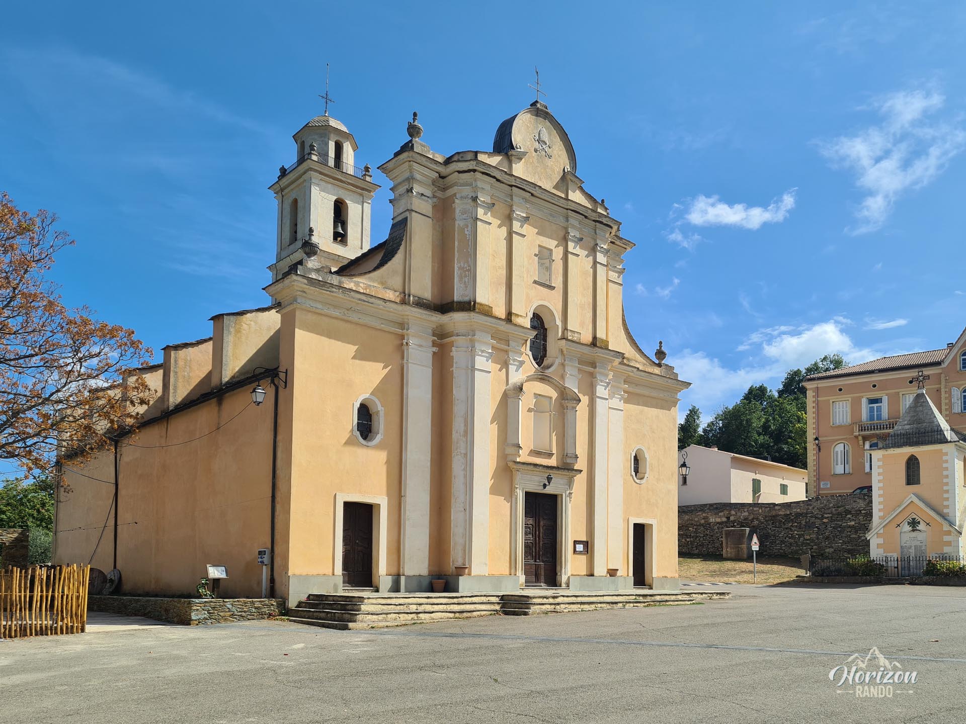
- Discovering the charming village of Campile and the hamlet of Costa.
- The majestic solitary holm oak at the summit, offering welcome shade for a picnic break.
Photos
See all 18 photos →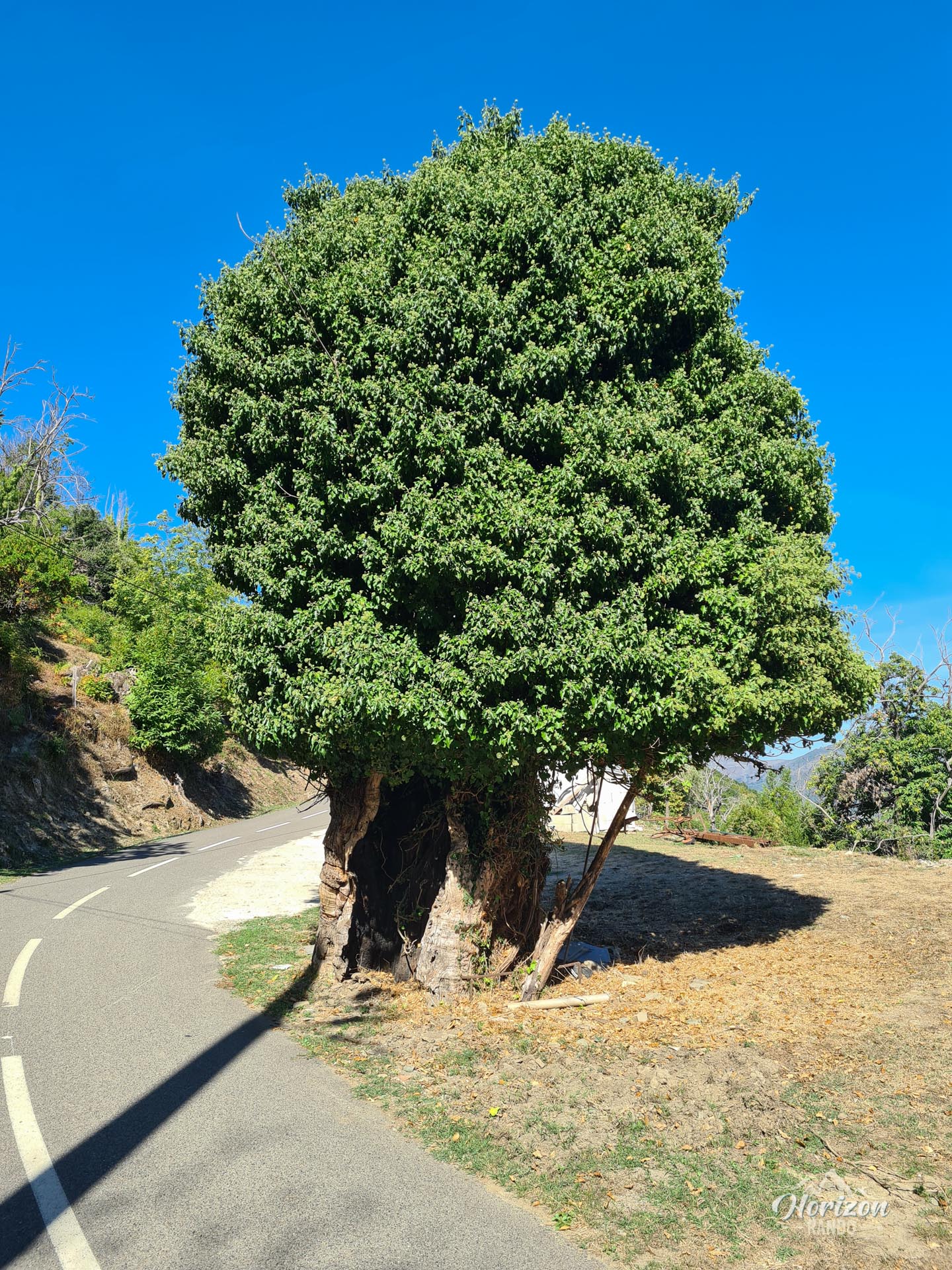
More hikes to do in Corsica
Nearby hikes







Printed from www.horizonrando.fr/en/corsica/monte-castellare/