





Pointe de la Revellata Hike
Key facts about the hike
- Difficulty
- Easy Hikes are rated from very easy to very hard: my difficulty scale
- Duration
- 3h15 Estimated time, short breaks included (photos, water, snacks), picnic not included: how it is calculated
- Distance
- 8.5km
- Elevation gain
- 250m
- Type of route
- Loop
- Maximum altitude
- 108 m
- Vertiginous Five levels, depending on how exposed the route is: the levels in detail
- No
- Marked
- No
- Popularity
- Low
- Region
- North-West
- Start point
- 42.55621, 8.72609
- Activity
- Hiking
Hike overview
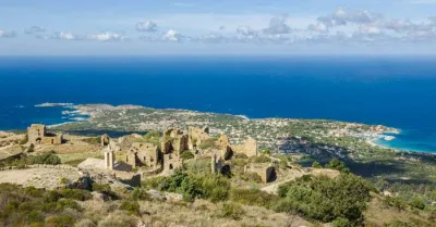
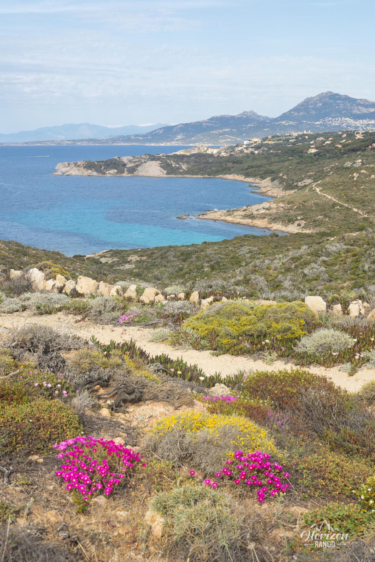
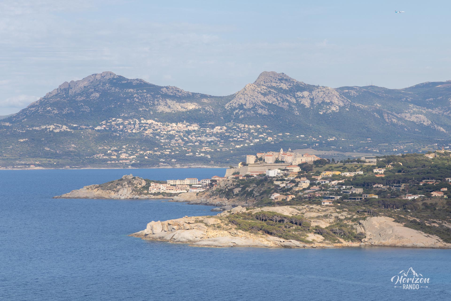
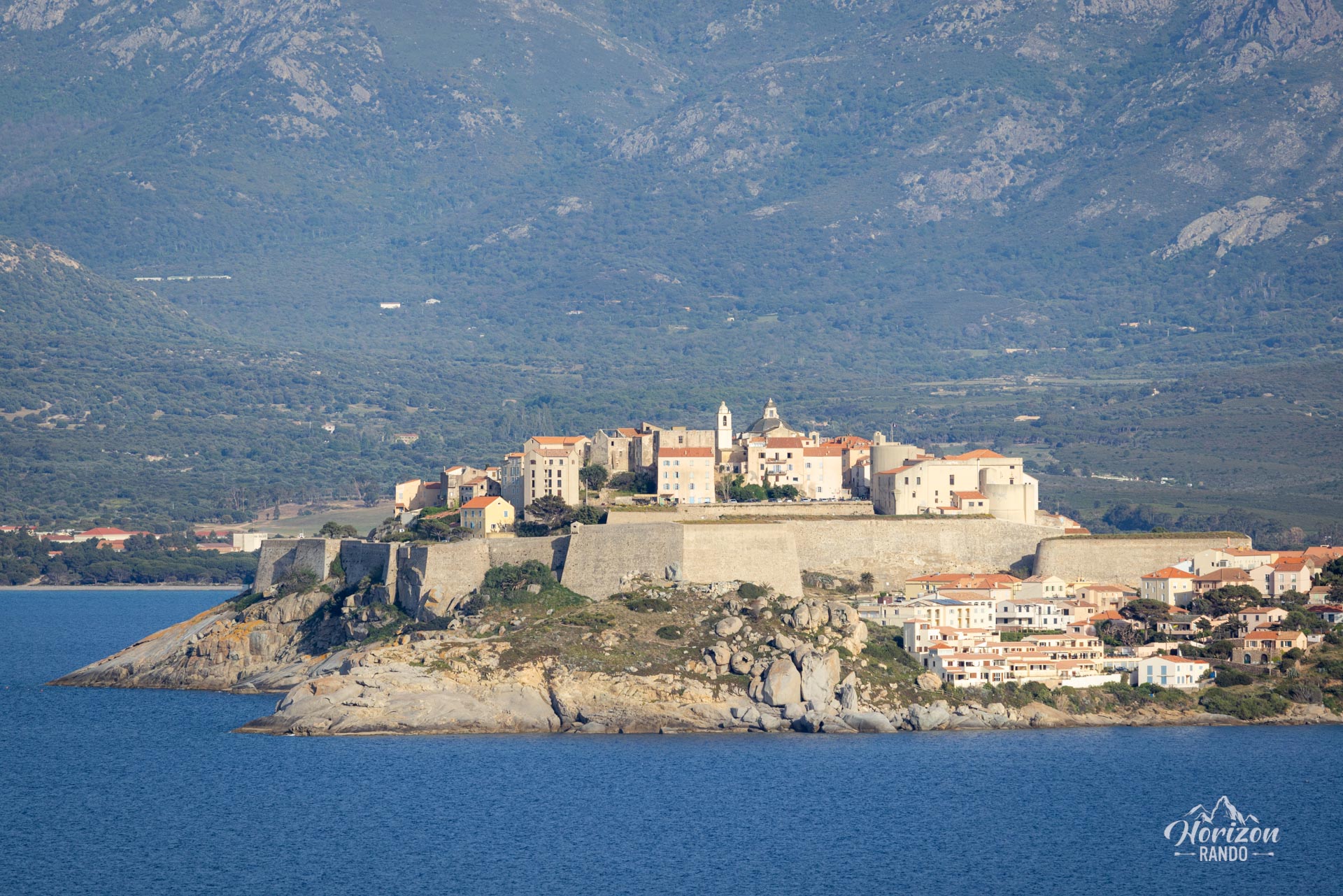
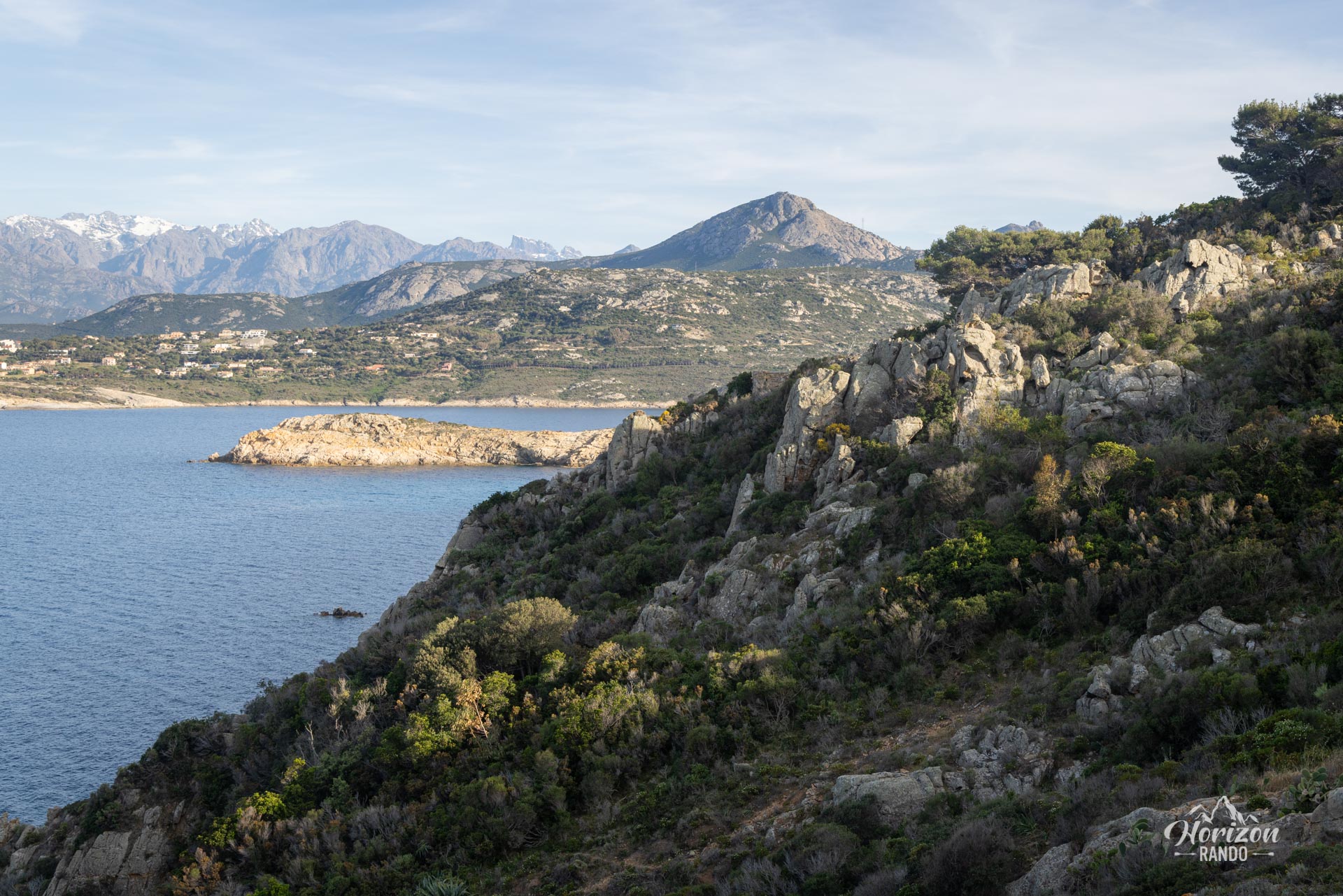
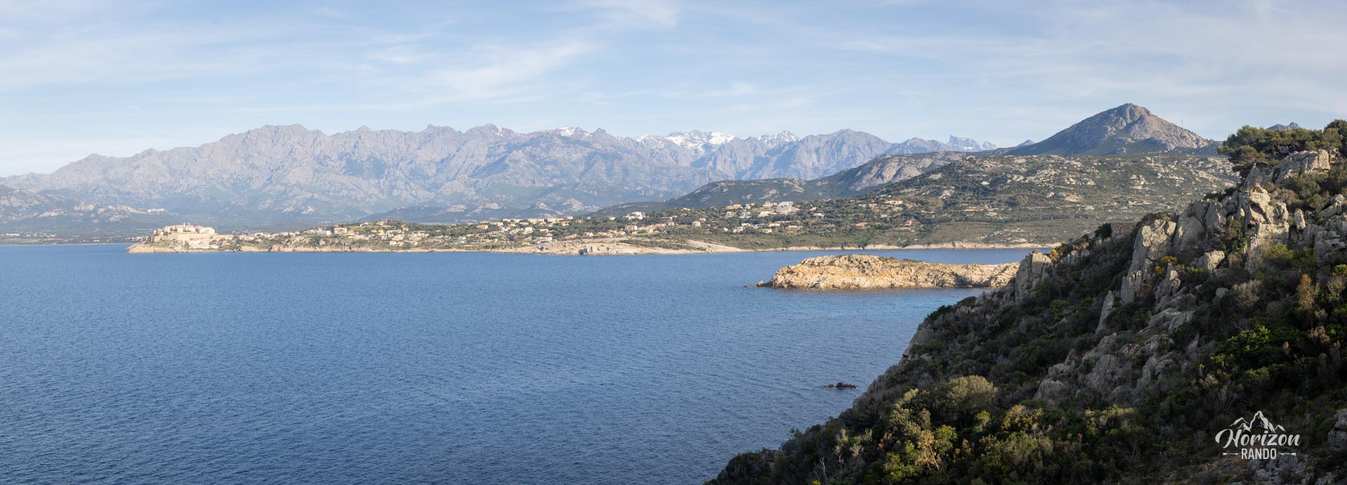
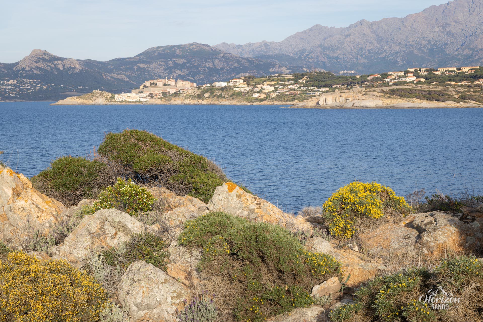
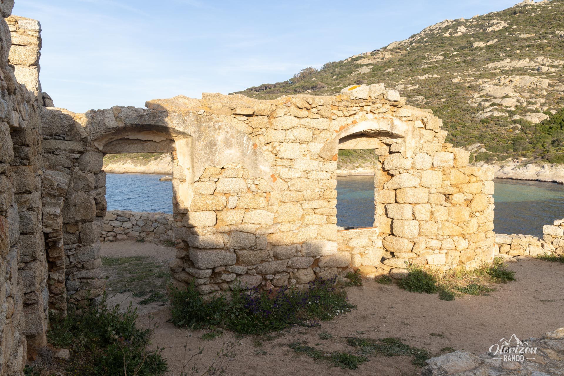
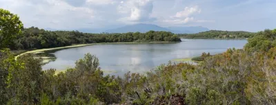
The Pointe de la Revellata hike will take you to the heart of a wild, protected peninsula just a few miles from Calvi. Along the way, you'll discover picturesque coves and beaches with crystal-clear waters, as well as spectacular views of the Calvi citadel and the gulf.
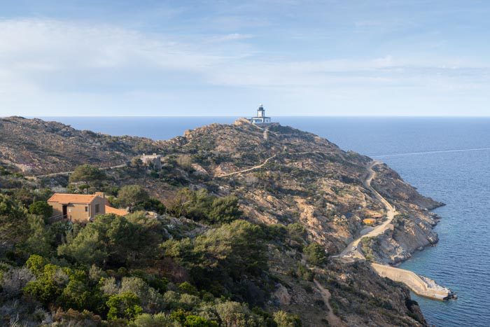
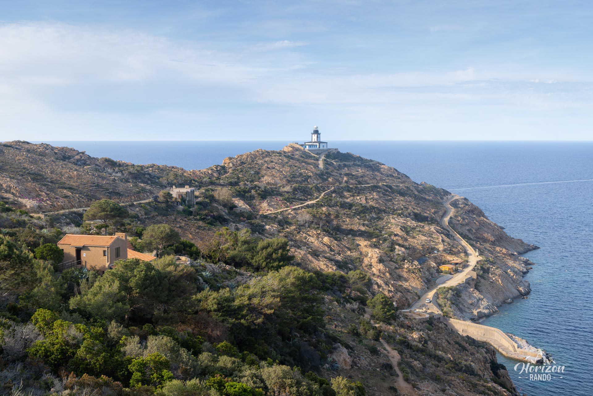
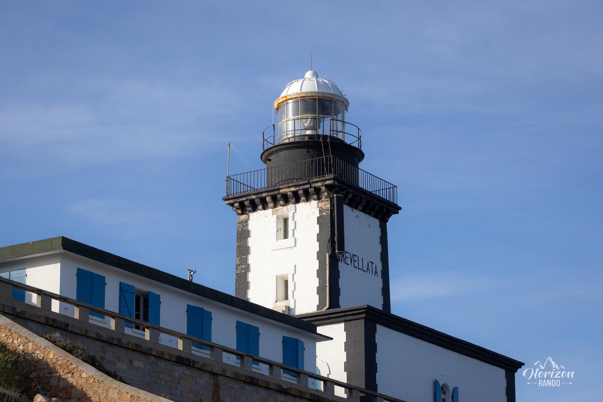
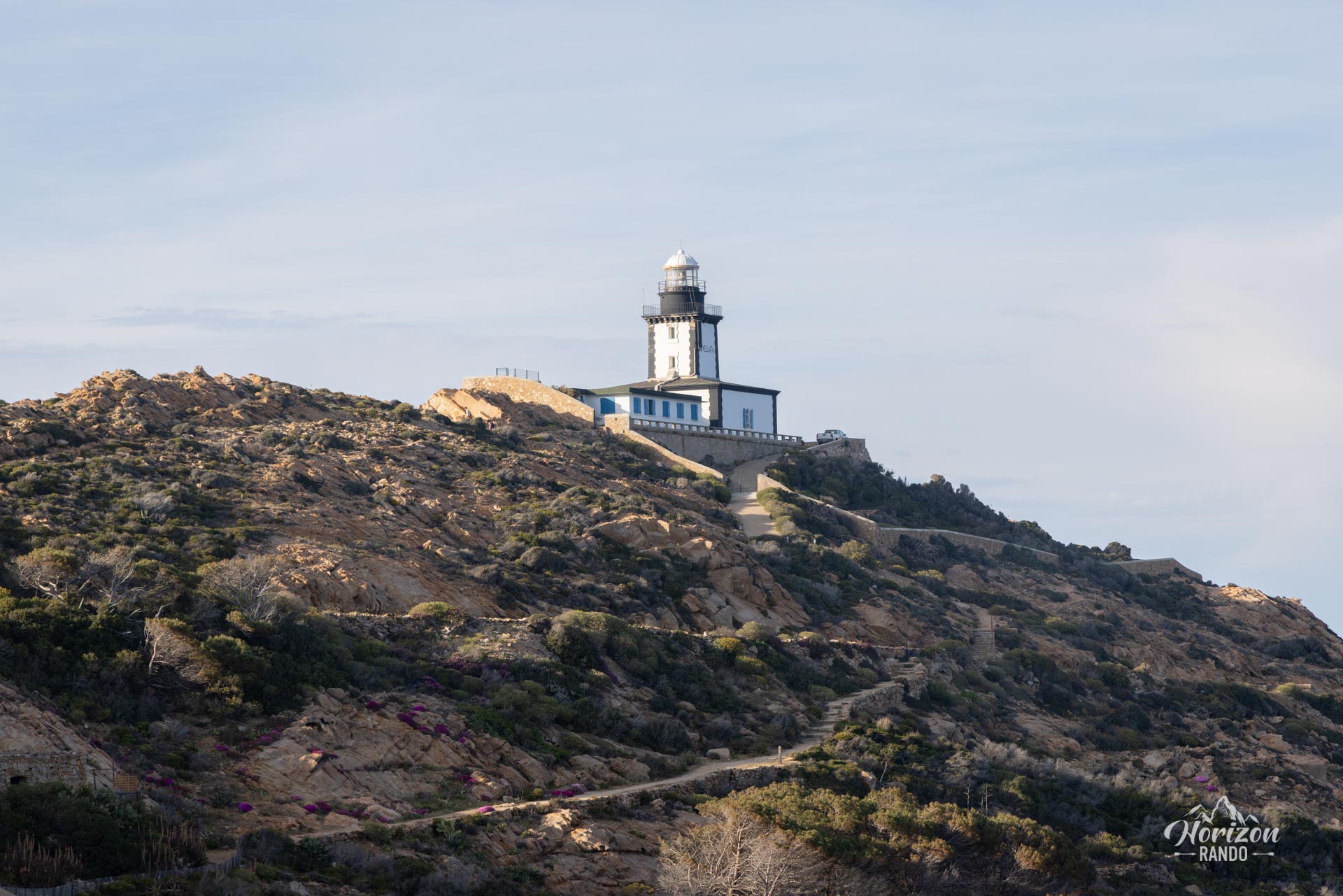
At the end of the 66-hectare rocky promontory managed by the Conservatoire du littoral stands the iconic Revellata lighthouse, which has stood silently since 1844 and now houses an oceanographic research station.
Map and elevation profile of the hike
Pointe de la Revellata Hike
Difficulties of the hike
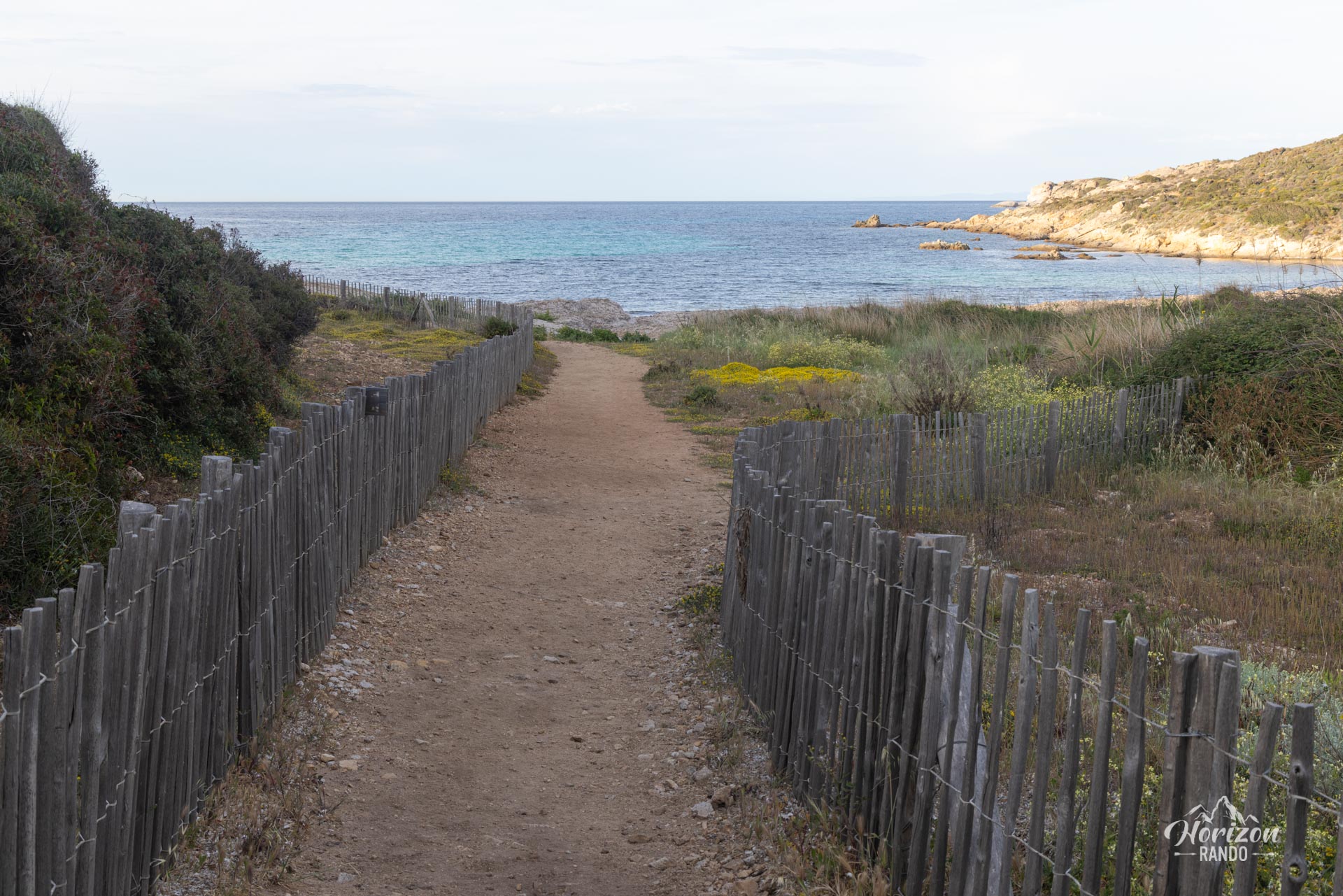
This hike is accessible to all and does not present any technical difficulties. The terrain alternates between wide tracks and narrower paths through the scrubland and along the coastline. While the route itself is not marked, a network of well-defined trails crisscrosses the peninsula. Navigation is easy thanks to cairns and the lighthouse's visibility, which serves as a landmark.
What you'll love
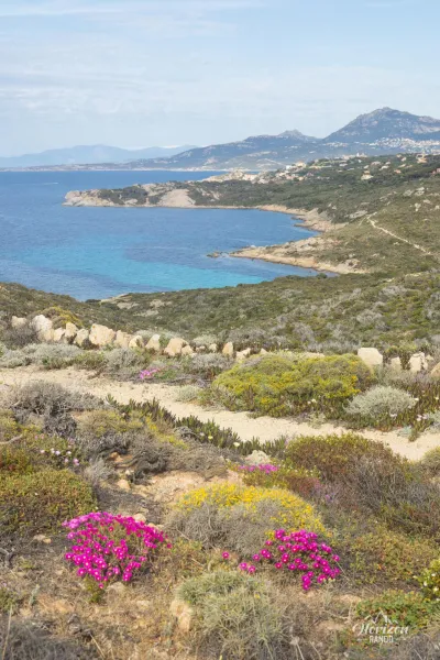
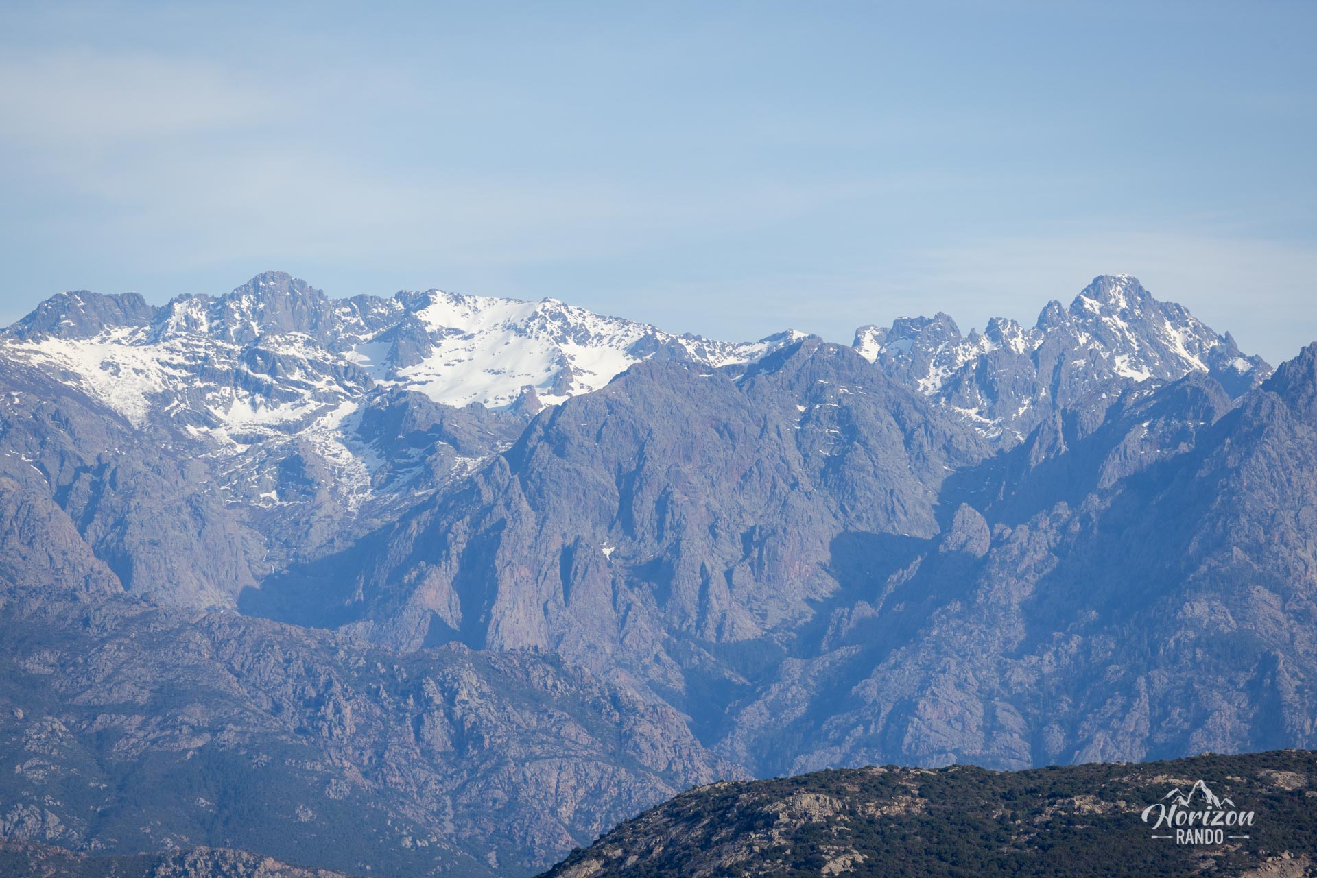
- The exceptional views of the citadel of Calvi, the Gulf of Revellata, and the Cinto massif in the background.
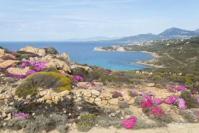
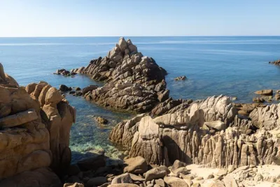
- The secluded coves and beaches along the coastal path, including Alga Beach, which is ideal for swimming in crystal-clear waters.
- The majestic Revellata Lighthouse, which is perched at the tip of the peninsula and offers a bird's-eye view of the cliffs and the Mediterranean.
Practical information
Access and parking
From Calvi, take the D81b towards Galeria. About 2 km after leaving the town, just after the turn-off to Notre-Dame de la Serra, you will find free parking on your right at the start of the downhill track.
Access to the lighthouse
The Revellata Lighthouse is not open to visitors. It now houses the STARESO (Station de Recherches Océanographiques et Sous-marines), an oceanographic research station dedicated to marine research in the Mediterranean. Only a small area in front of the lighthouse is accessible to hikers.
Photos
See all 15 photos →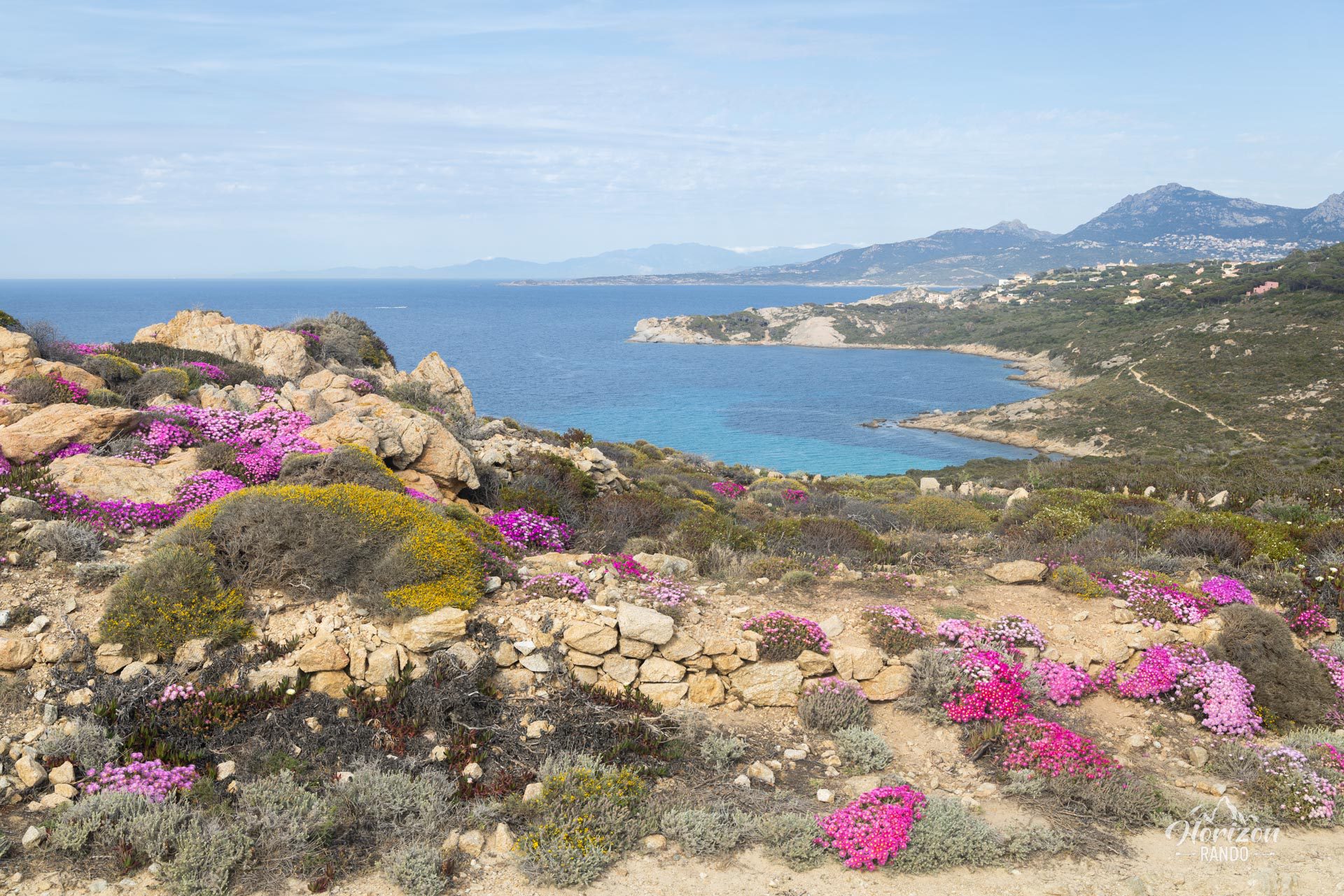
More hikes to do in Corsica
Nearby hikes







Printed from www.horizonrando.fr/en/corsica/pointe-de-la-revellata/