





Monte Senino Hike
Key facts about the hike
- Difficulty
- Hard Hikes are rated from very easy to very hard: my difficulty scale
- Duration
- 4h Estimated time, short breaks included (photos, water, snacks), picnic not included: how it is calculated
- Distance
- 6.1km
- out and back
- Elevation gain
- 680m
- Type of route
- Out and back
- Maximum altitude
- 618 m
- Vertiginous Five levels, depending on how exposed the route is: the levels in detail
- Highly
- Marked
- No
- Popularity
- Low
- Region
- North-West
- Start point
- 42.32616, 8.63207
- Activity
- Hiking
Hike overview
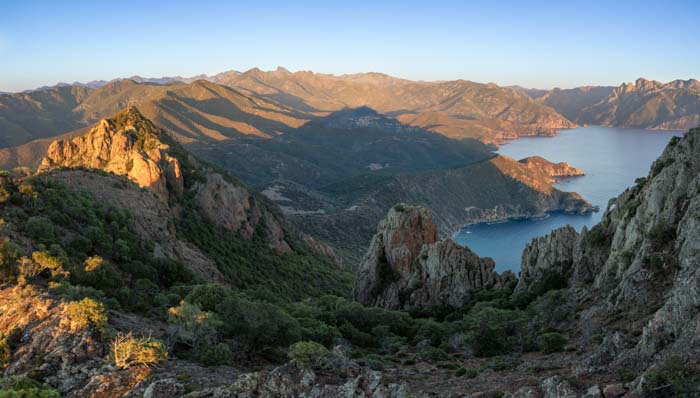
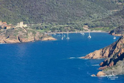
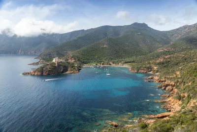
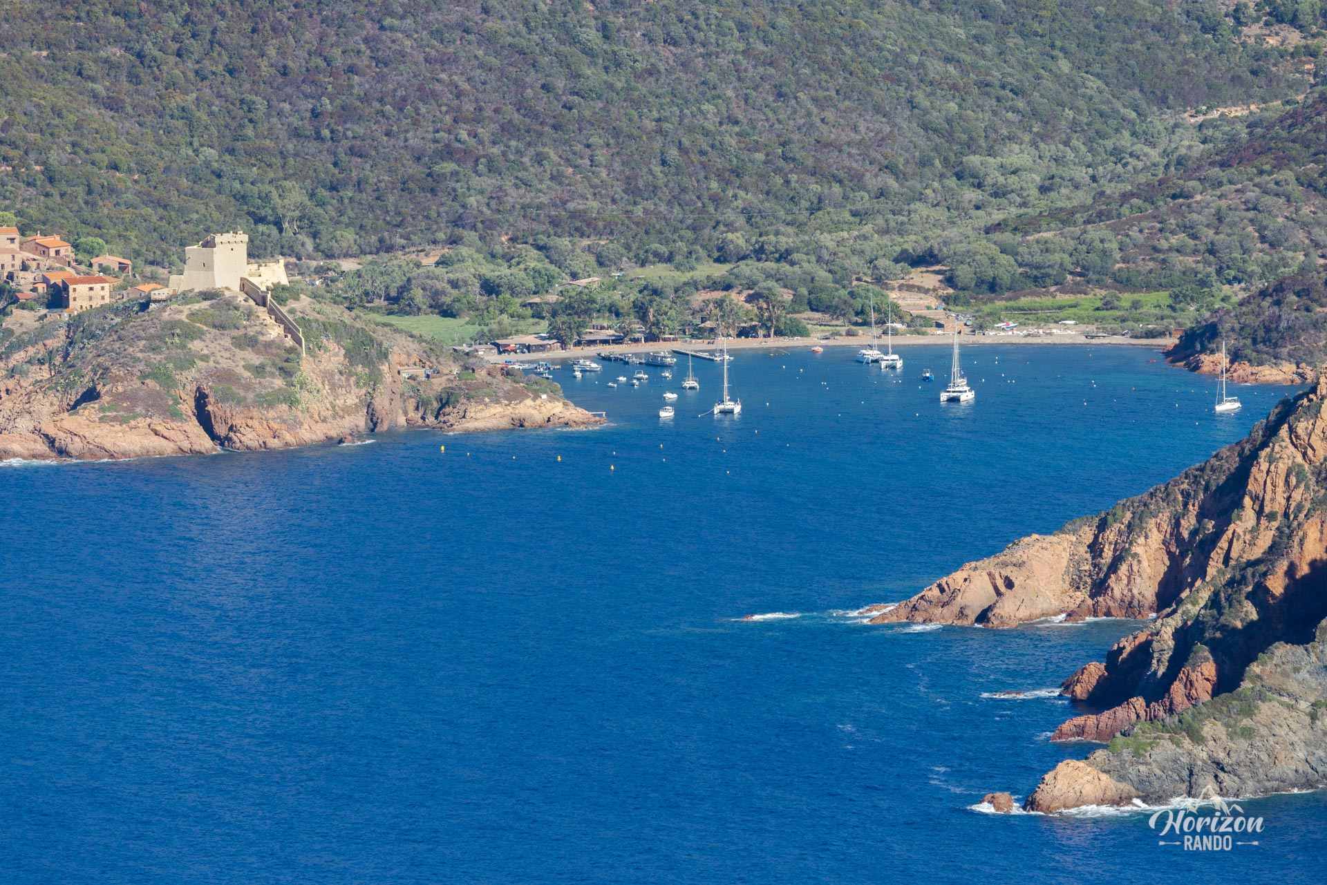
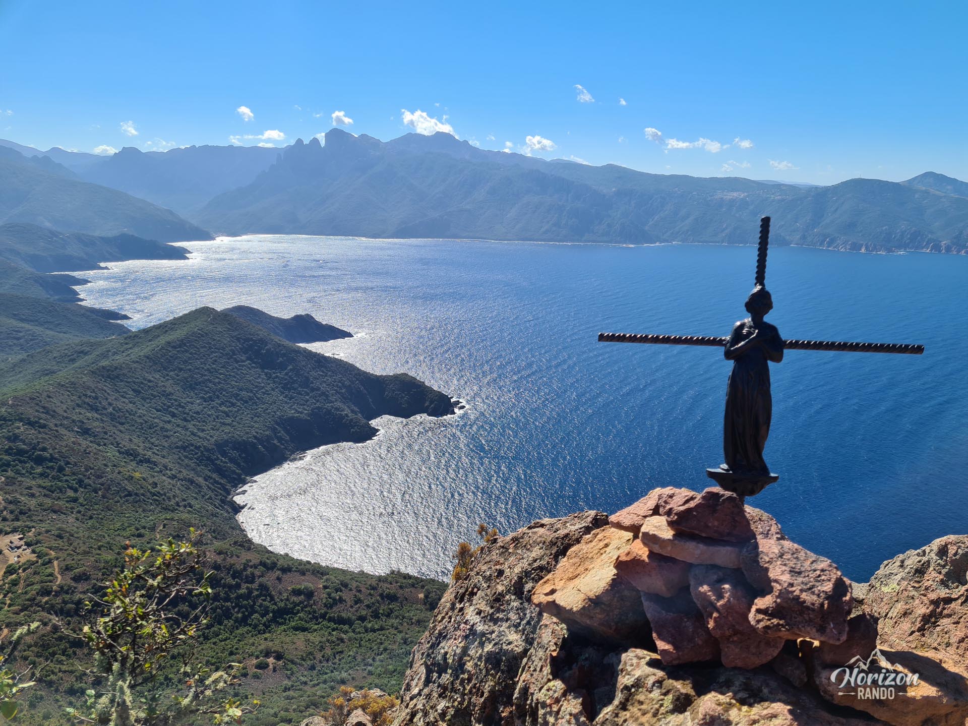
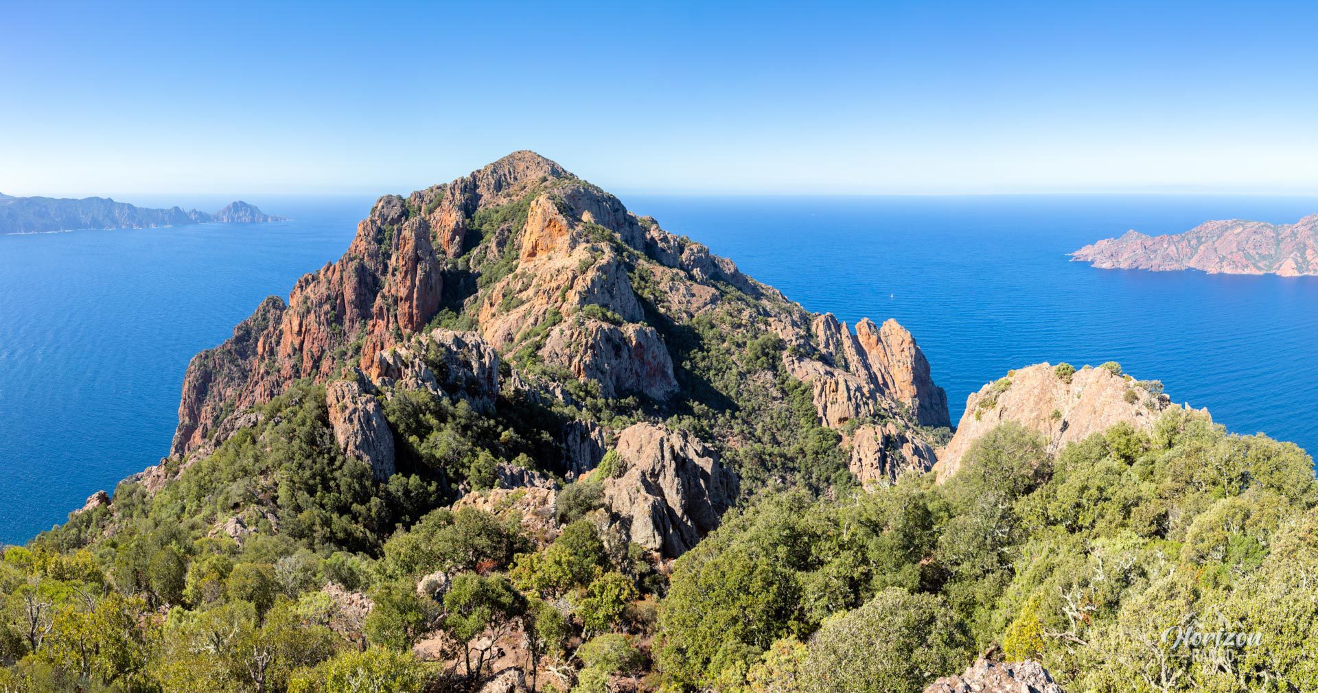
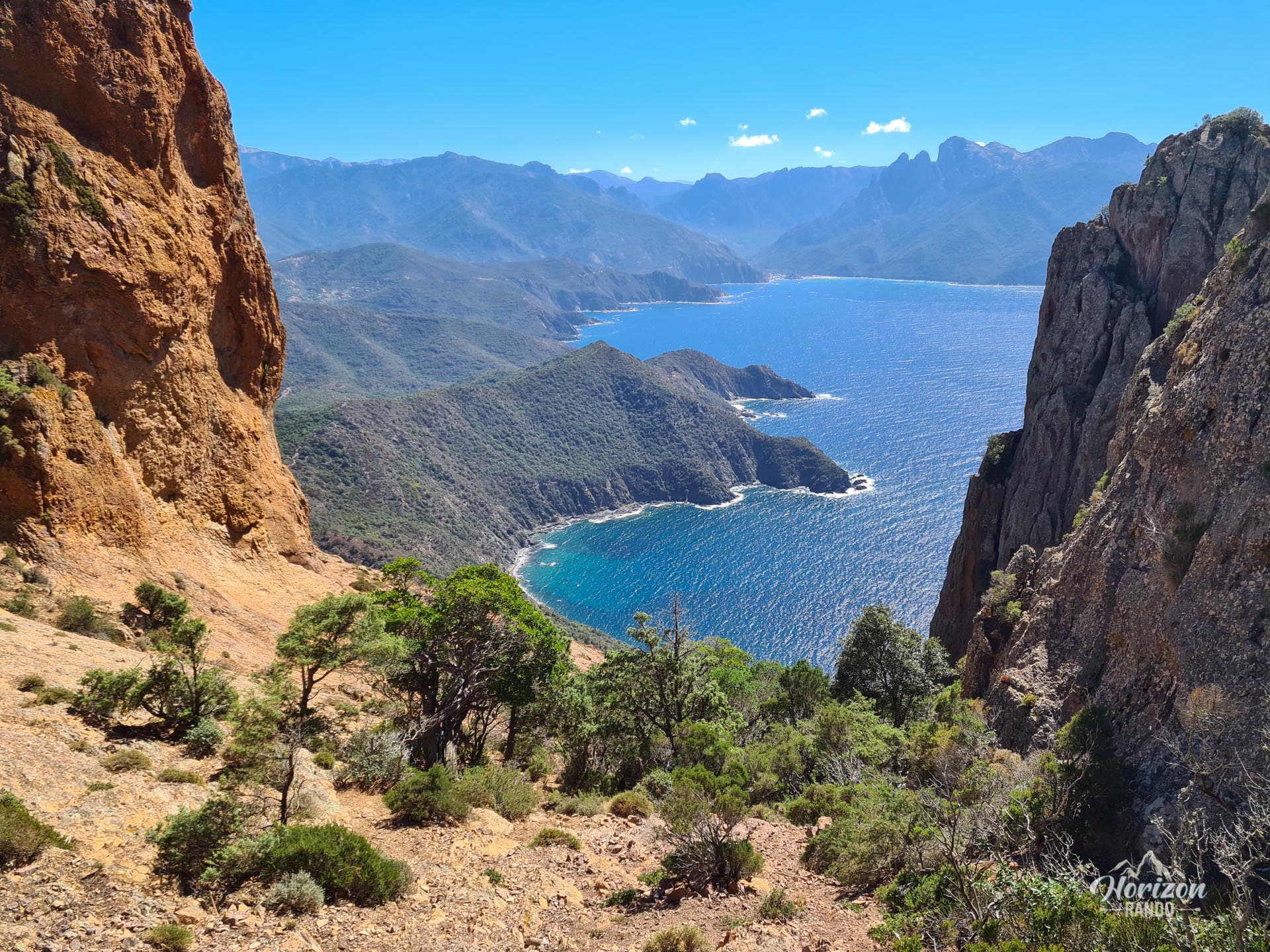
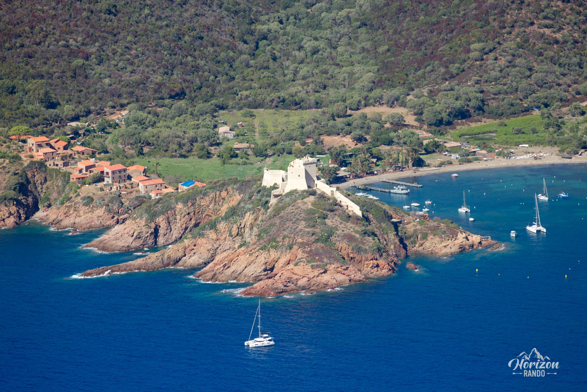
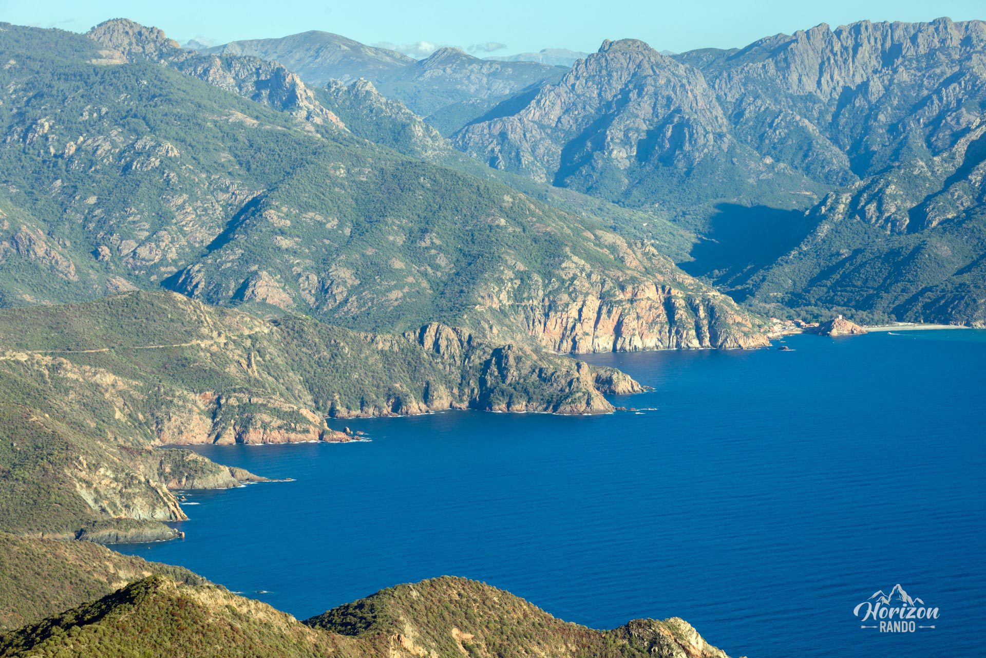
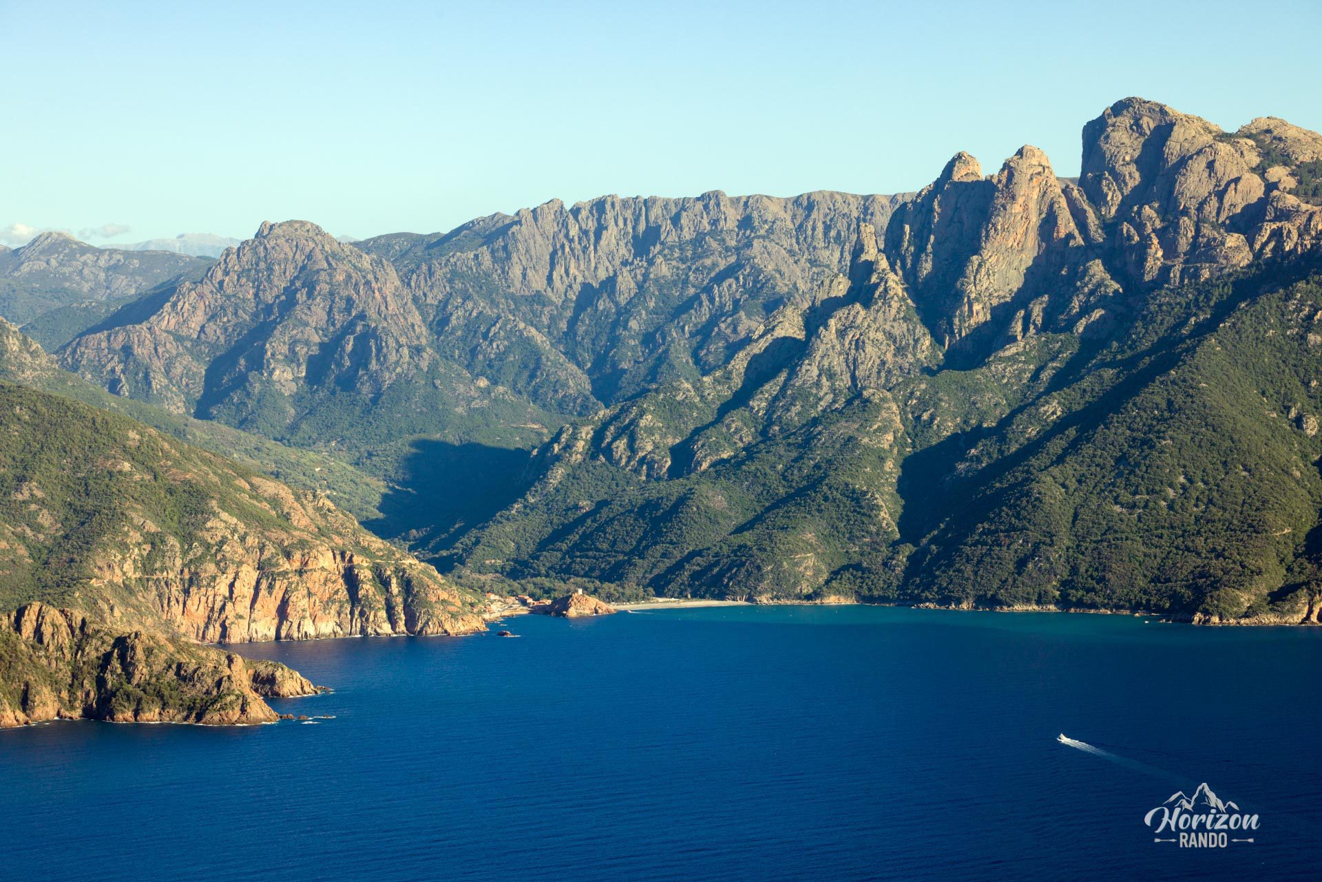
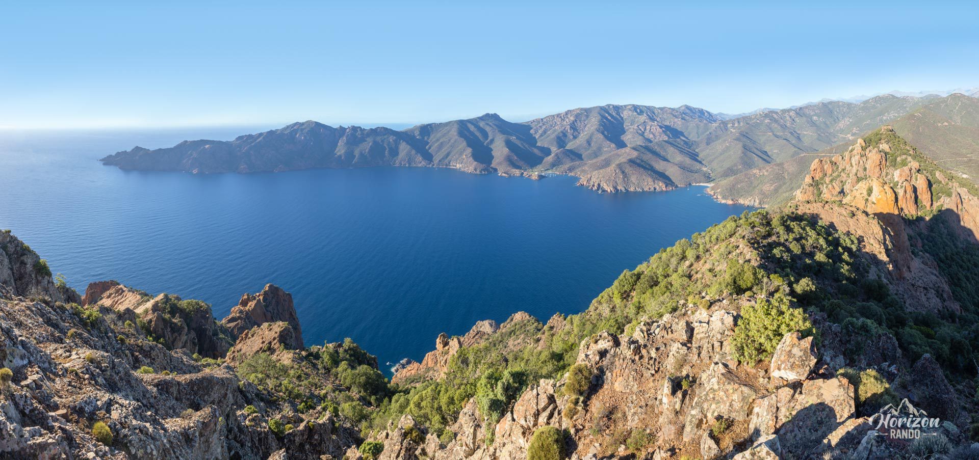
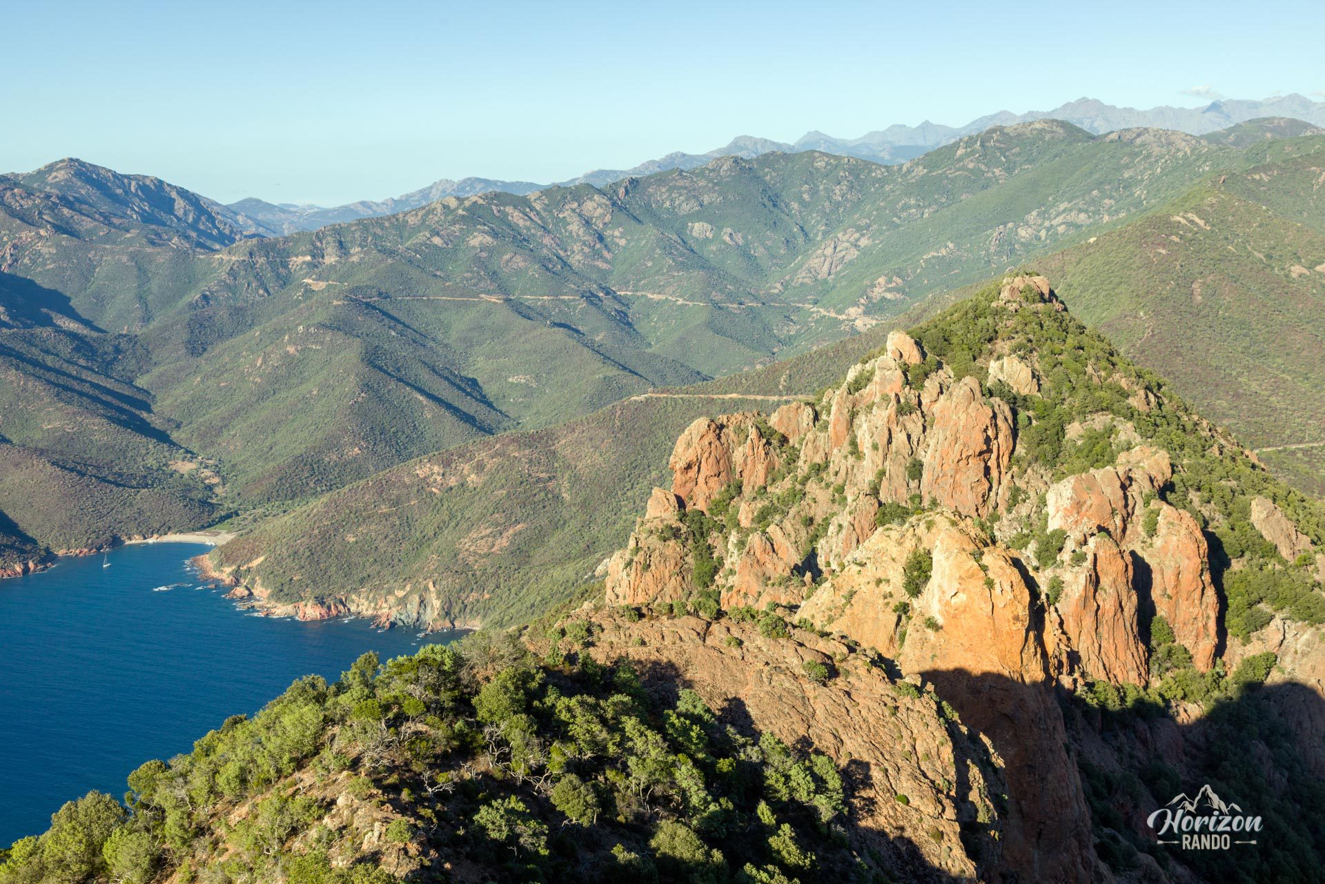
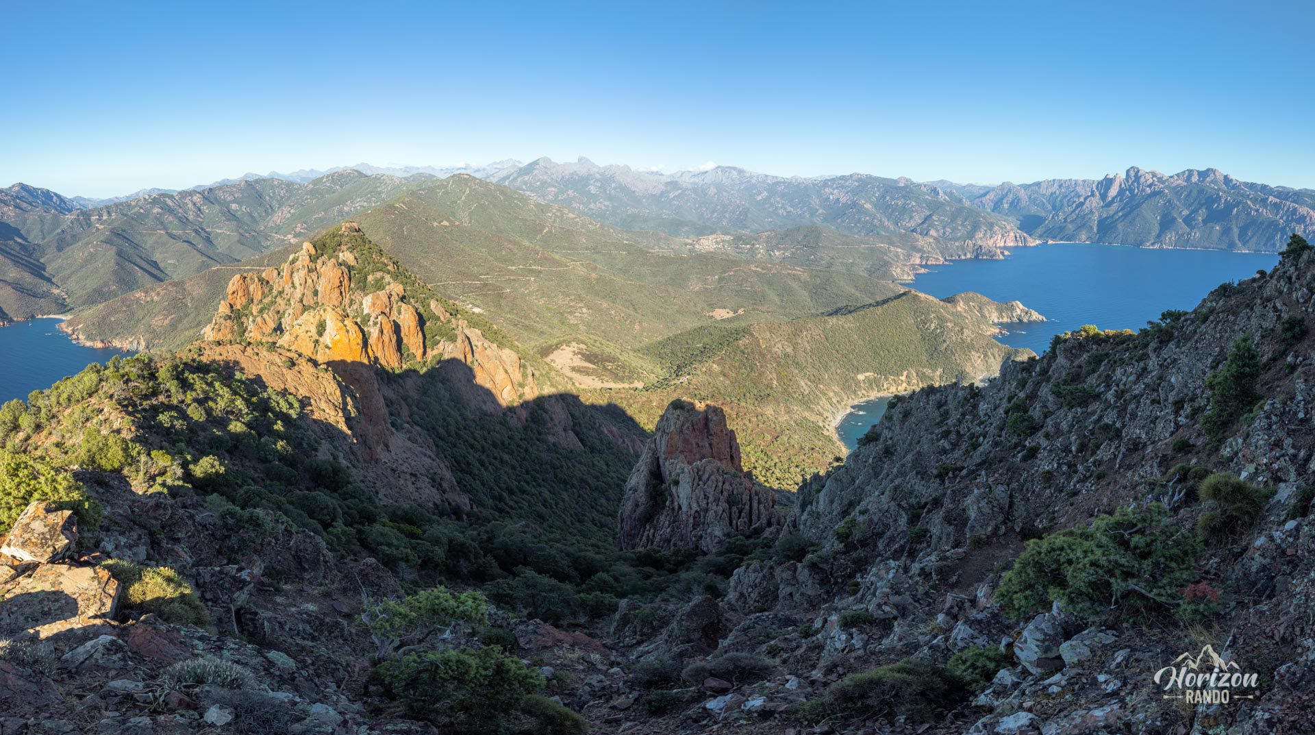
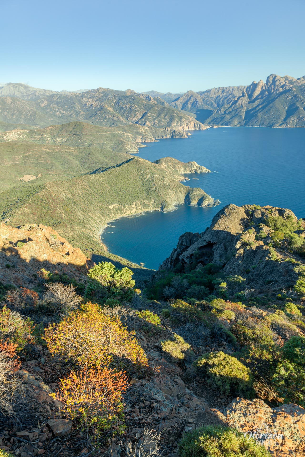
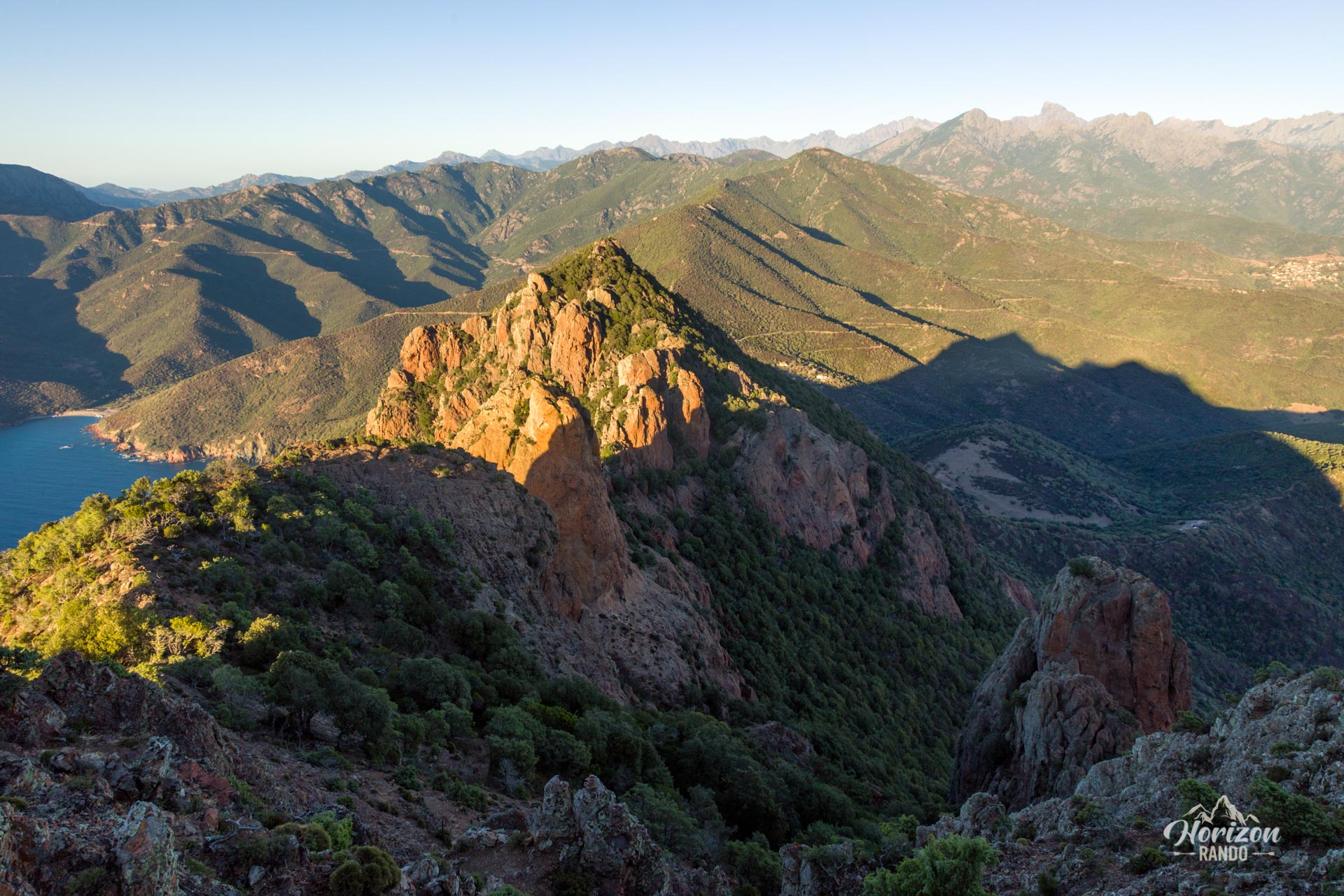
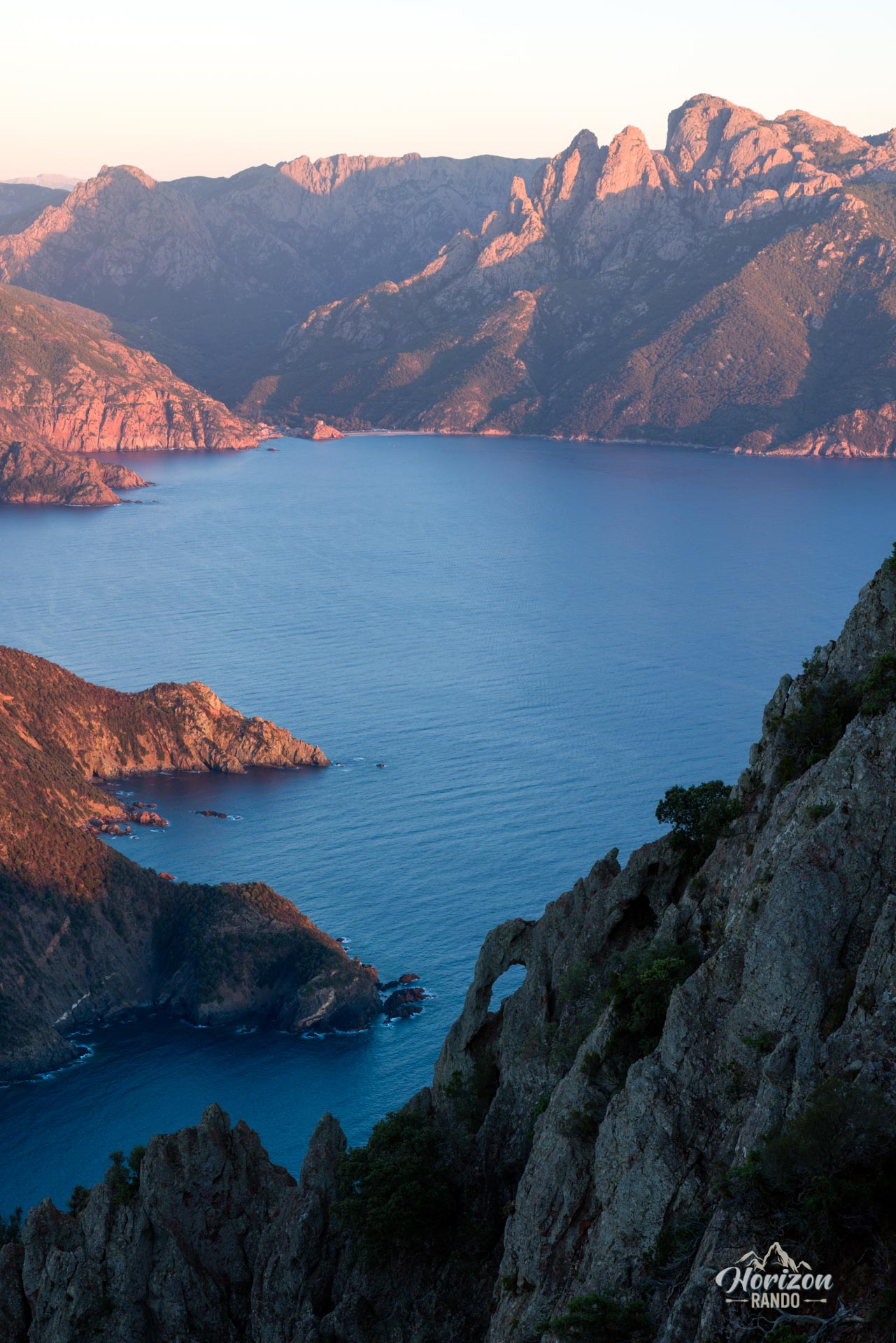
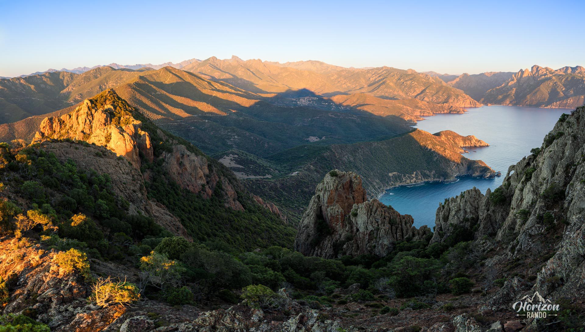
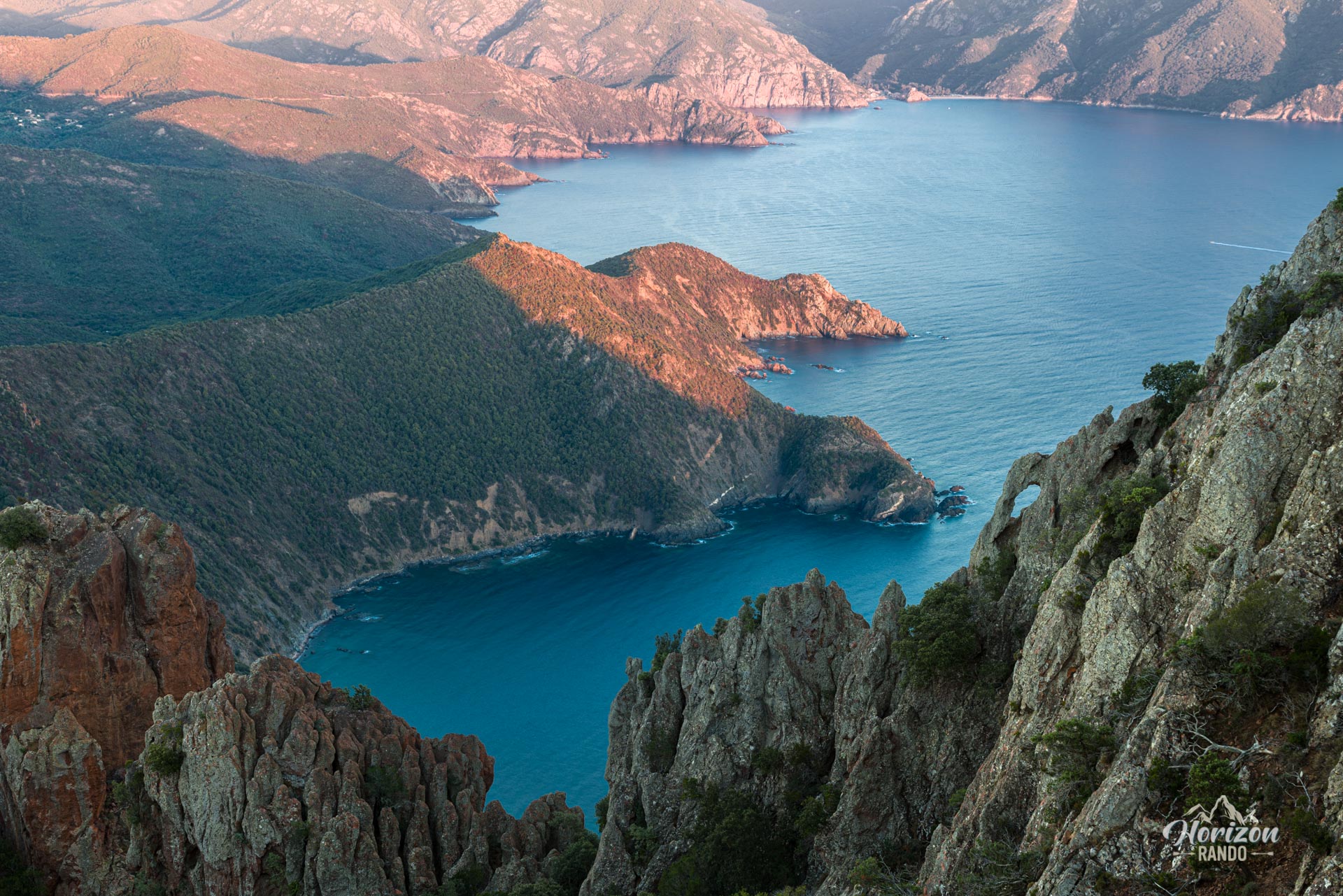
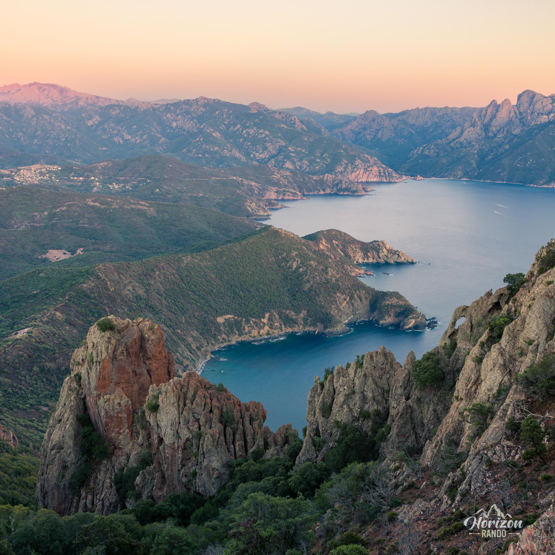
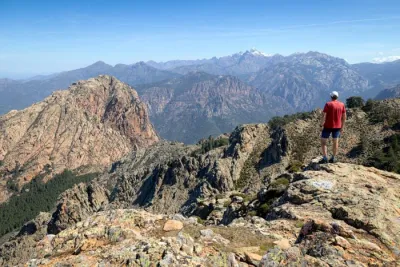
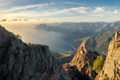
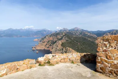
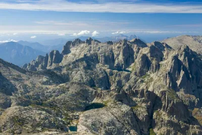
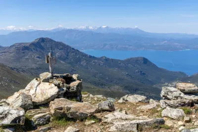
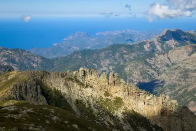
Perched between the Gulfs of Girolata and Porto, Monte Senino boasts one of the most spectacular 360° panoramic views on the island. The climb passes through Punta Castellacciu (587 m), whose views alone are reward enough for the effort, before reaching Monte Senino's summit at 618 meters. Throughout the hike, the scenery is breathtaking: the Scandola Nature Reserve, the ever-present Mediterranean Sea, and mountain ridges are revealed as you progress.
Don't be fooled by the route's modest elevation gain and distance; this hike is technically difficult and requires experience with rough terrain.
Map and elevation profile of the hike
Monte Senino Hike
Description and difficulties of the hike
The hike starts from the Bocca a Croce car park (269 m). Follow the track for about one kilometer in a southwesterly direction until you see the start of the path on your left. This path leads to Punta Castellacciu. Allow an hour to reach this first summit, which offers remarkable views.
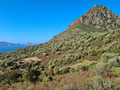
Despite its short distance, the ascent of Monte Senino presents significant difficulties. First, the trail is unmarked, so progress depends on locating cairns. Beyond Punta Castellacciu, the route is difficult to follow due to the dense vegetation. Take the time to carefully identify each cairn before continuing. Using a GPS is strongly recommended to ensure your safety and prevent getting lost.
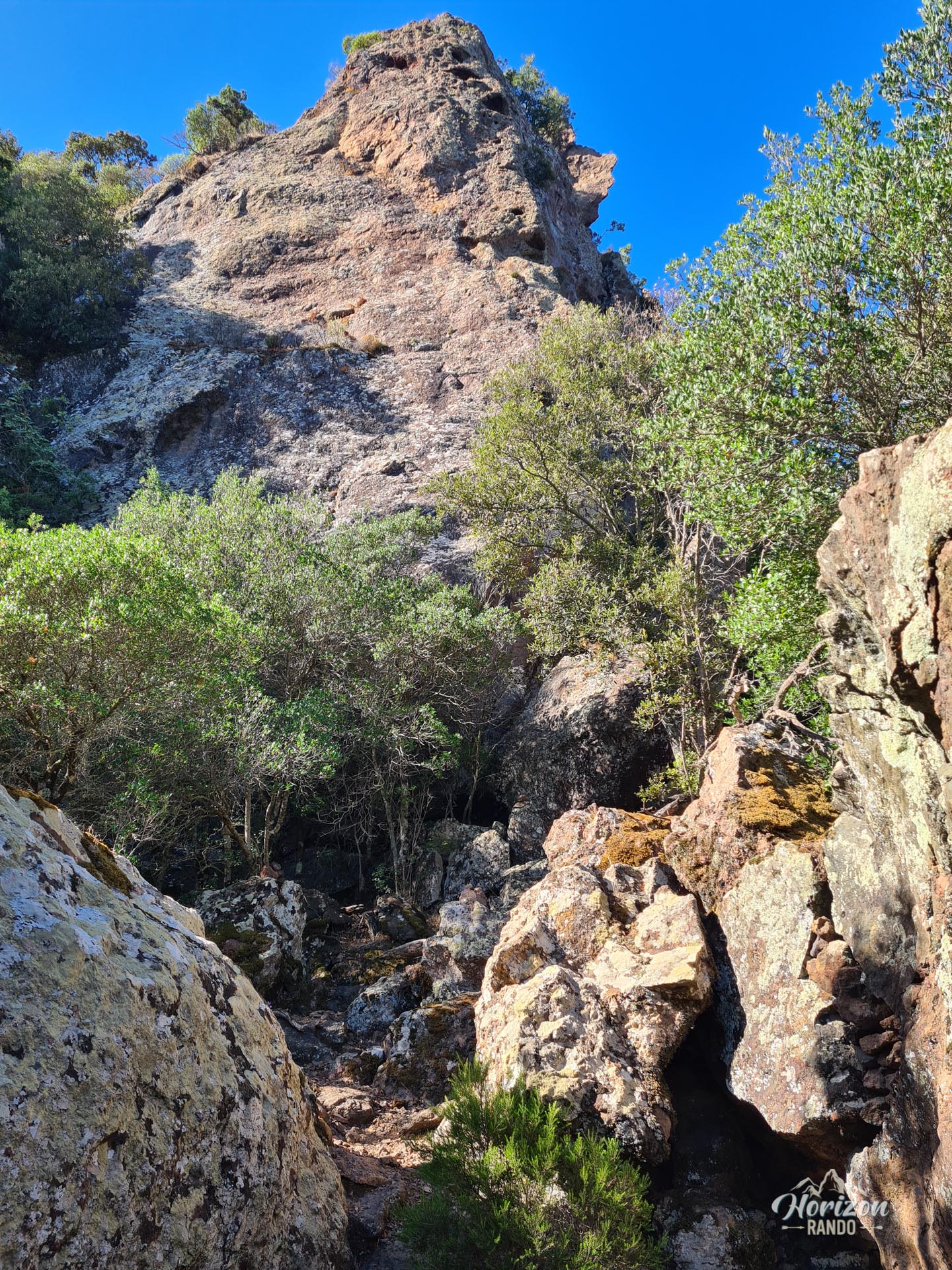
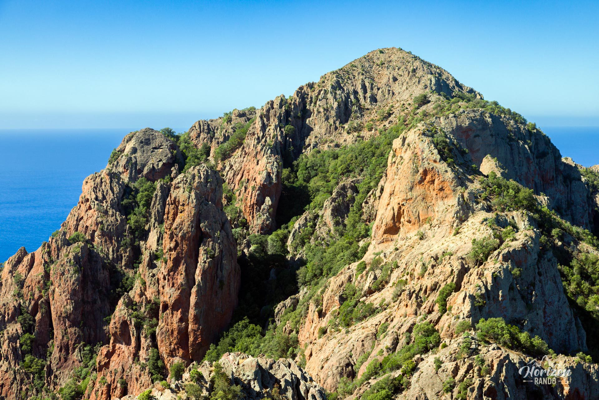
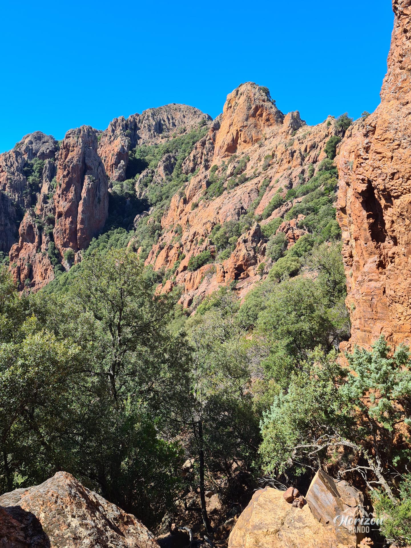
The terrain is technical and physically demanding. The route winds through the undergrowth and alternates between steep climbs, steep descents, and rocky outcrops. Between Punta Castellacciu and Monte Senino, there are several passages that require scrambling, including a narrow rock chimney that demands sustained attention and good footing.
What you'll love
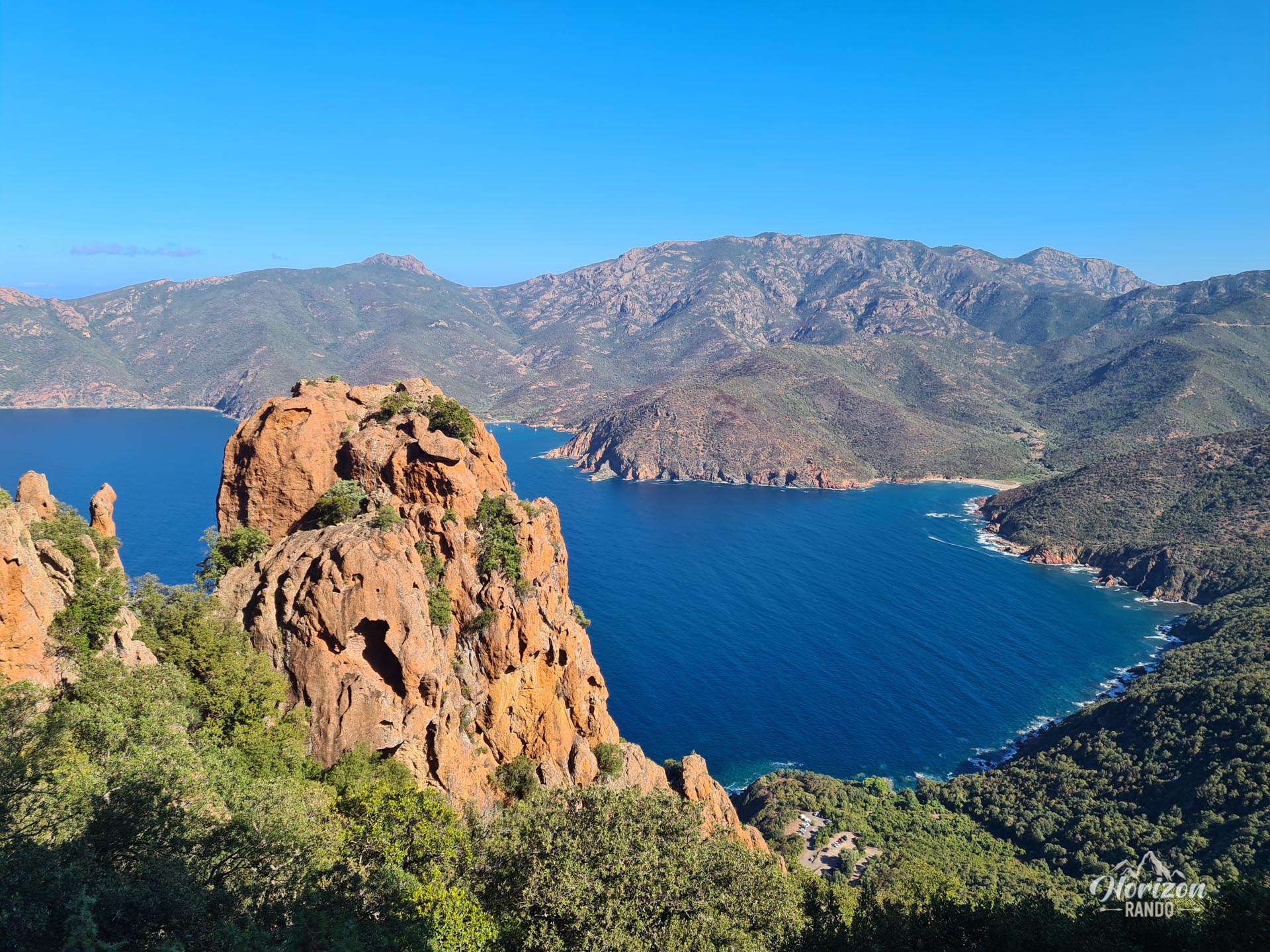
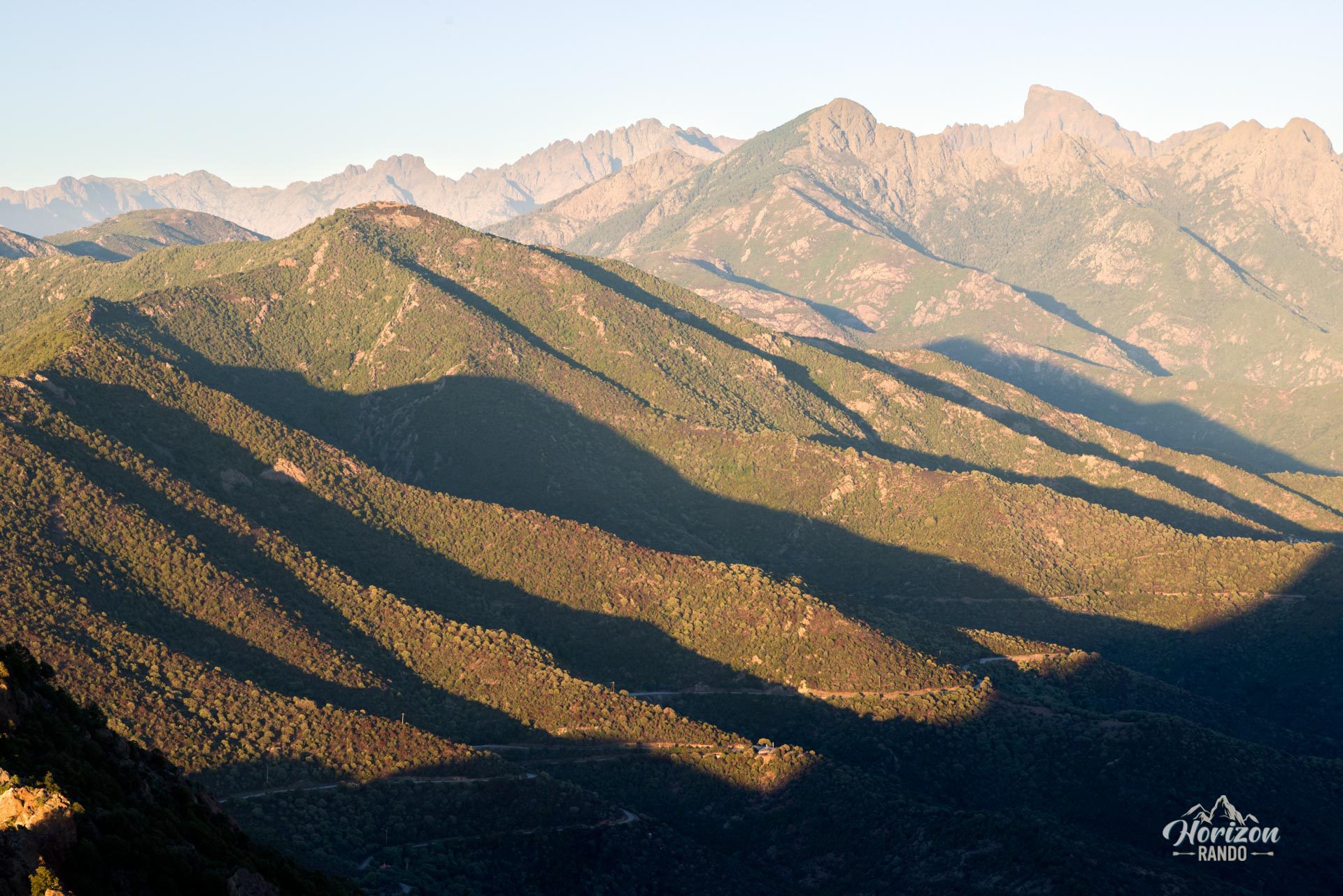
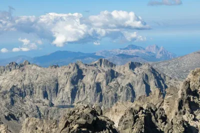
- The absolutely exceptional 360° panorama from the summit revealing the Gulf of Porto to the south, the Gulf of Girolata to the north, the Scandola Reserve, and the mountains of the interior, including the distinctive silhouette of Paglia Orba
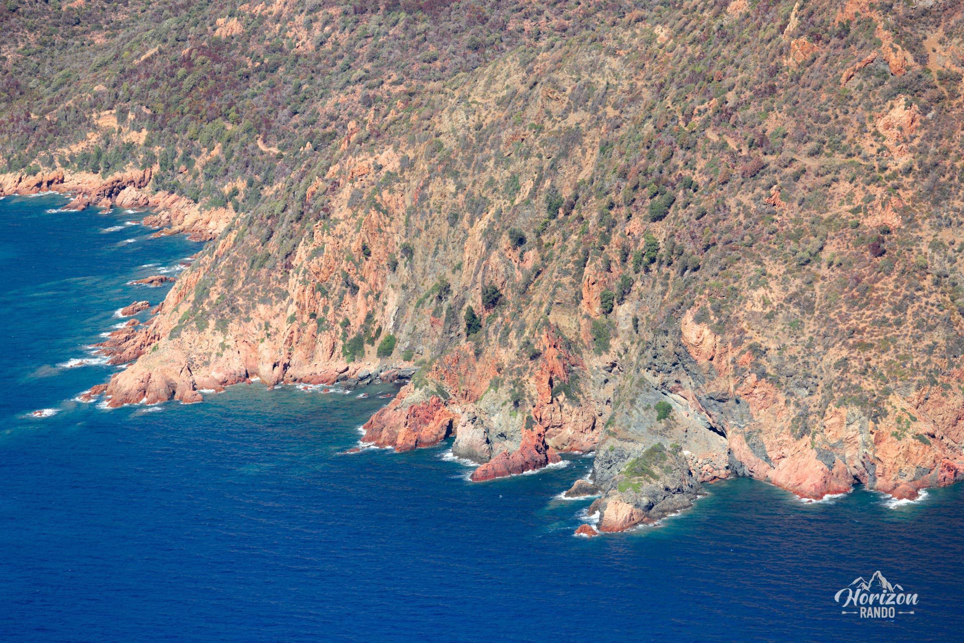
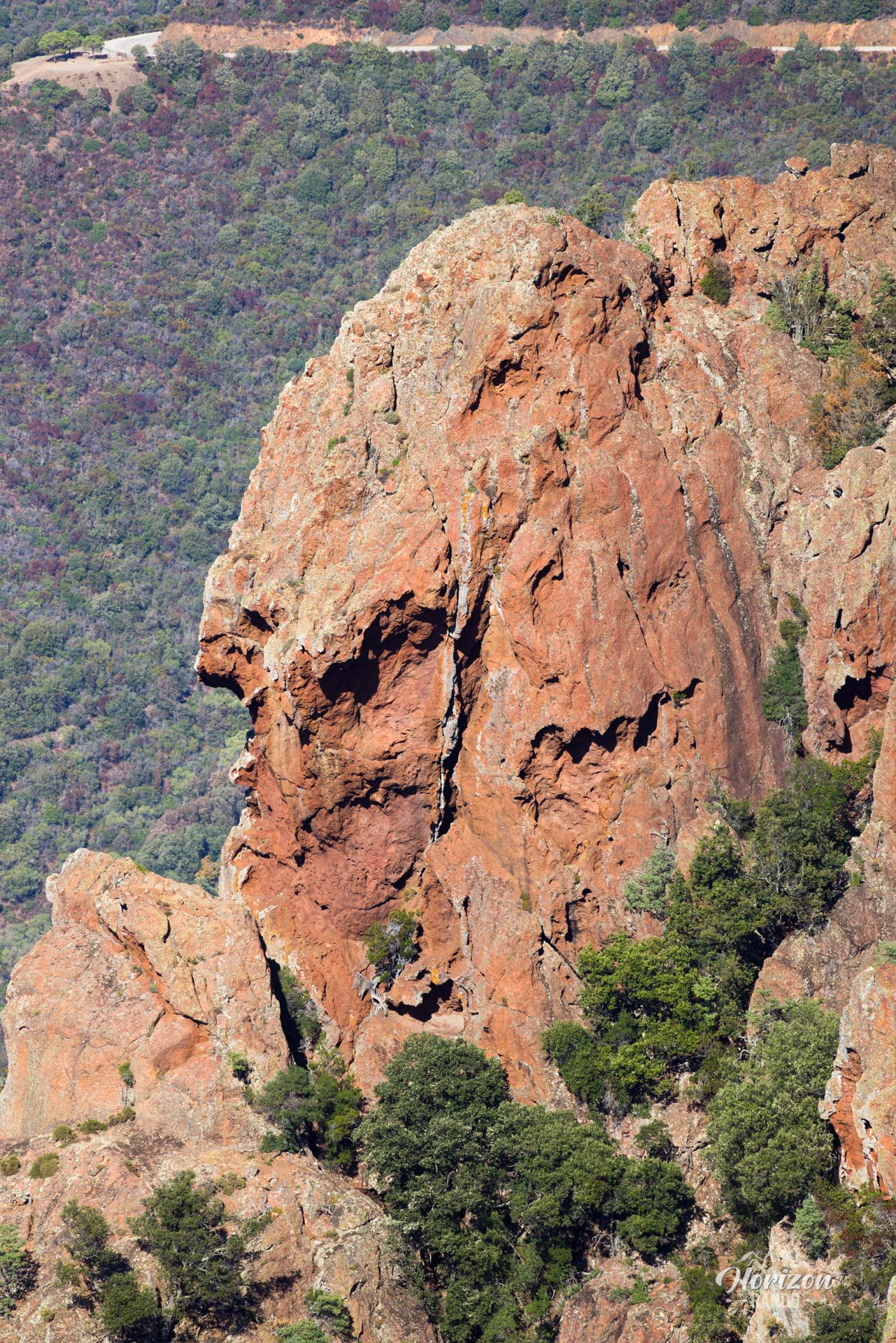
- The spectacular colors of red and orange rocks contrasting with the turquoise blue of the Mediterranean
- The low number of visitors on this trail guaranteeing a peaceful and authentic adventure
Practical information
Alternative for the less experienced
Those afraid of heights or with little mountain experience can stop at the first summit, Punta Castellacciu (587 m). The view is already fantastic at this point, and the trail, although sometimes steep, remains accessible and nontechnical.
Photos
See all 24 photos →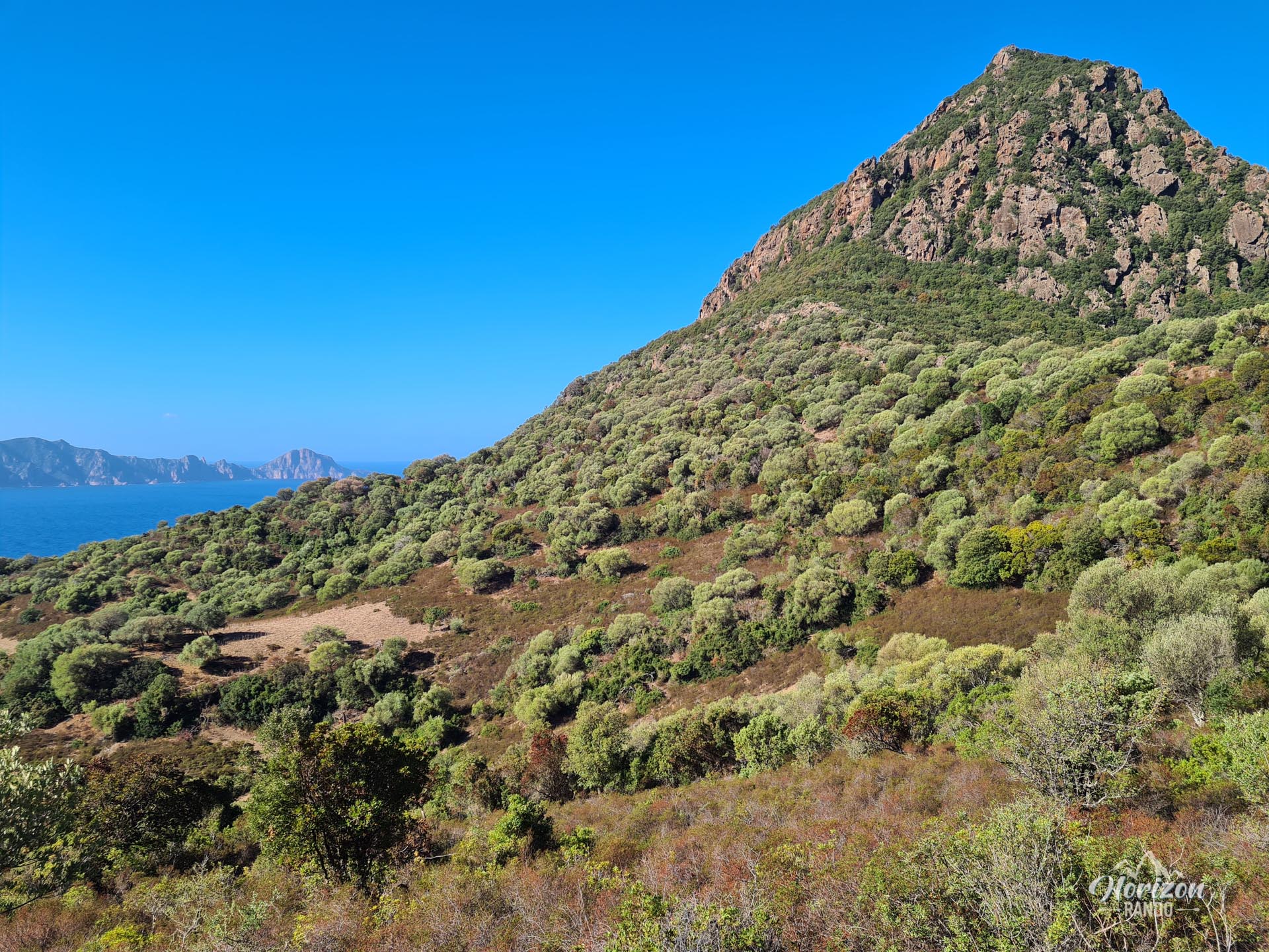
More hikes to do in Corsica
Nearby hikes







Printed from www.horizonrando.fr/en/corsica/monte-senino/