






Capo Rosso Hike
Key facts about the hike
- Difficulty
- Moderate Hikes are rated from very easy to very hard: my difficulty scale
- Duration
- 4h15 Estimated time, short breaks included (photos, water, snacks), picnic not included: how it is calculated
- Distance
- 9.5km
- out and back
- Elevation gain
- 570m
- Type of route
- Out and back
- Maximum altitude
- 335 m
- Vertiginous Five levels, depending on how exposed the route is: the levels in detail
- Slightly
- Marked
- Yes
- Popularity
- Moderate
- Region
- North-West
- Start point
- 42.23537, 8.58375
- Activity
- Hiking
Hike overview
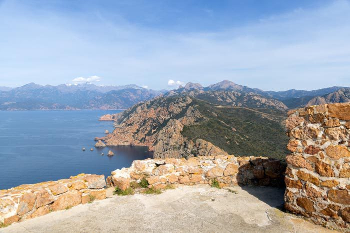
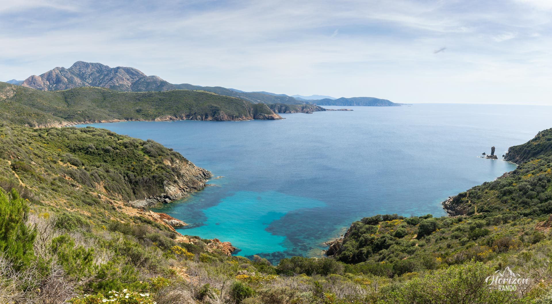
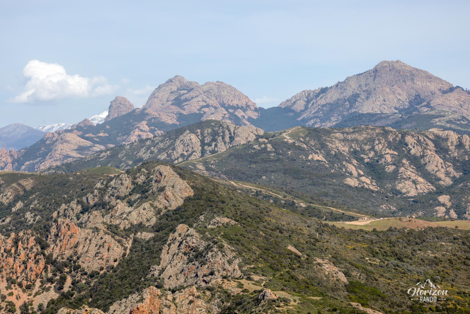
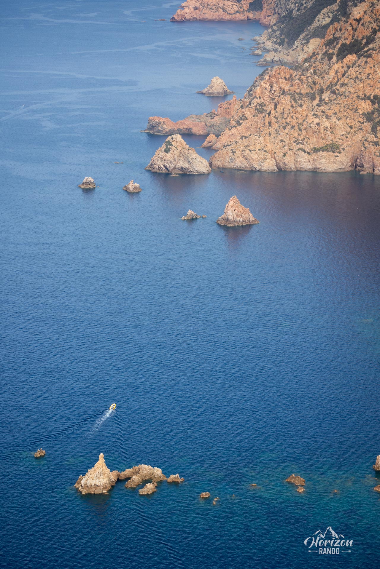
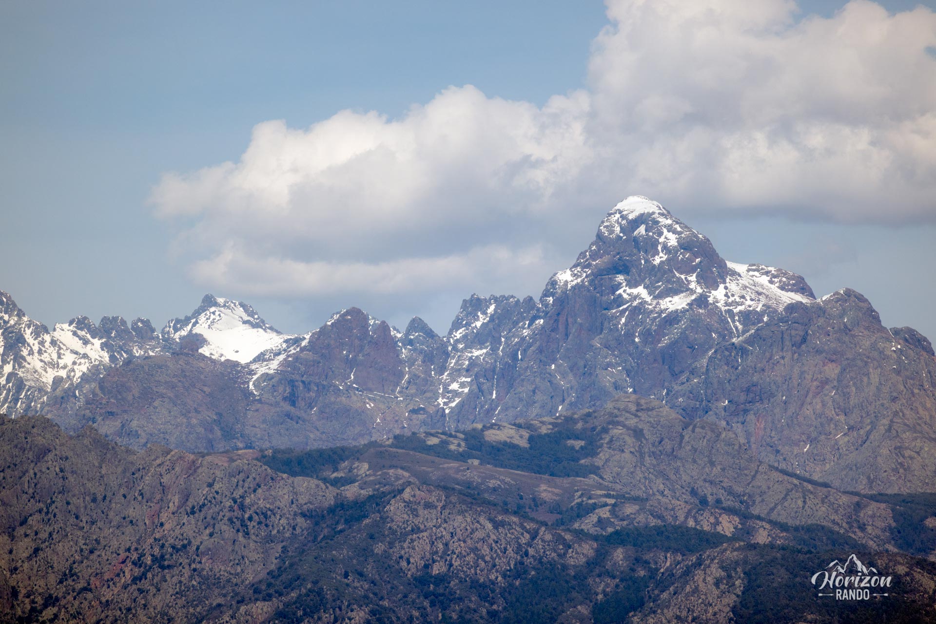
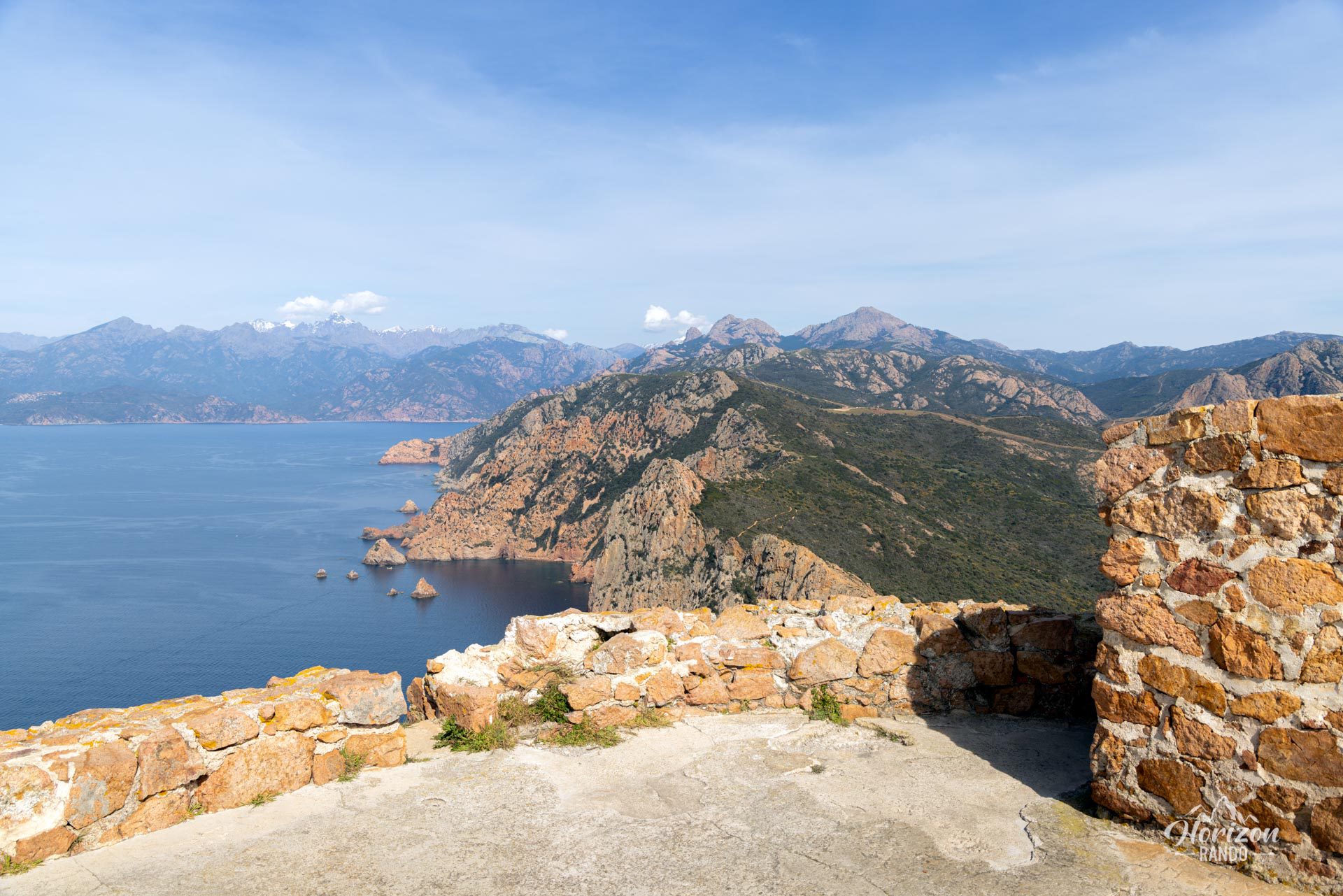
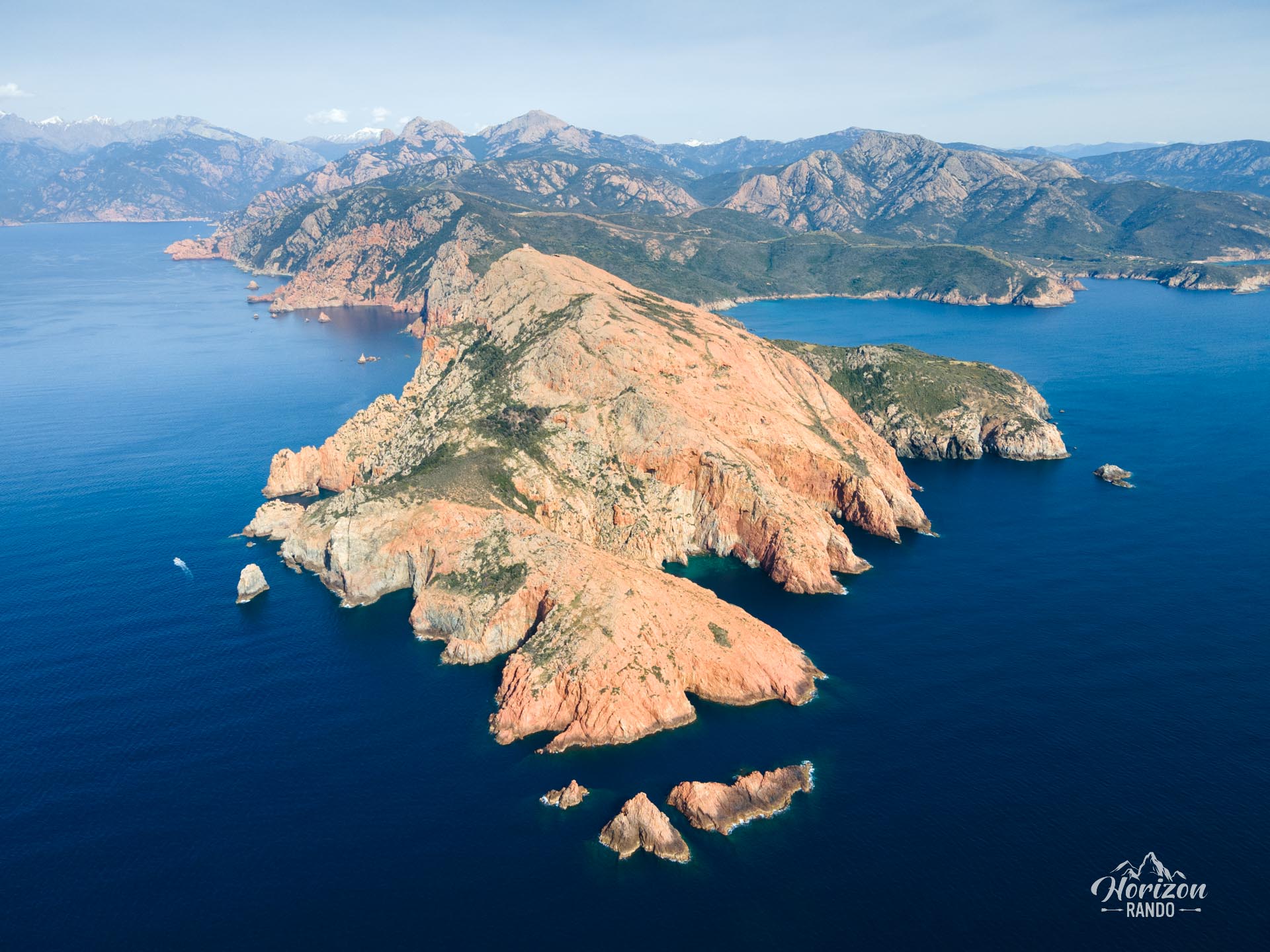
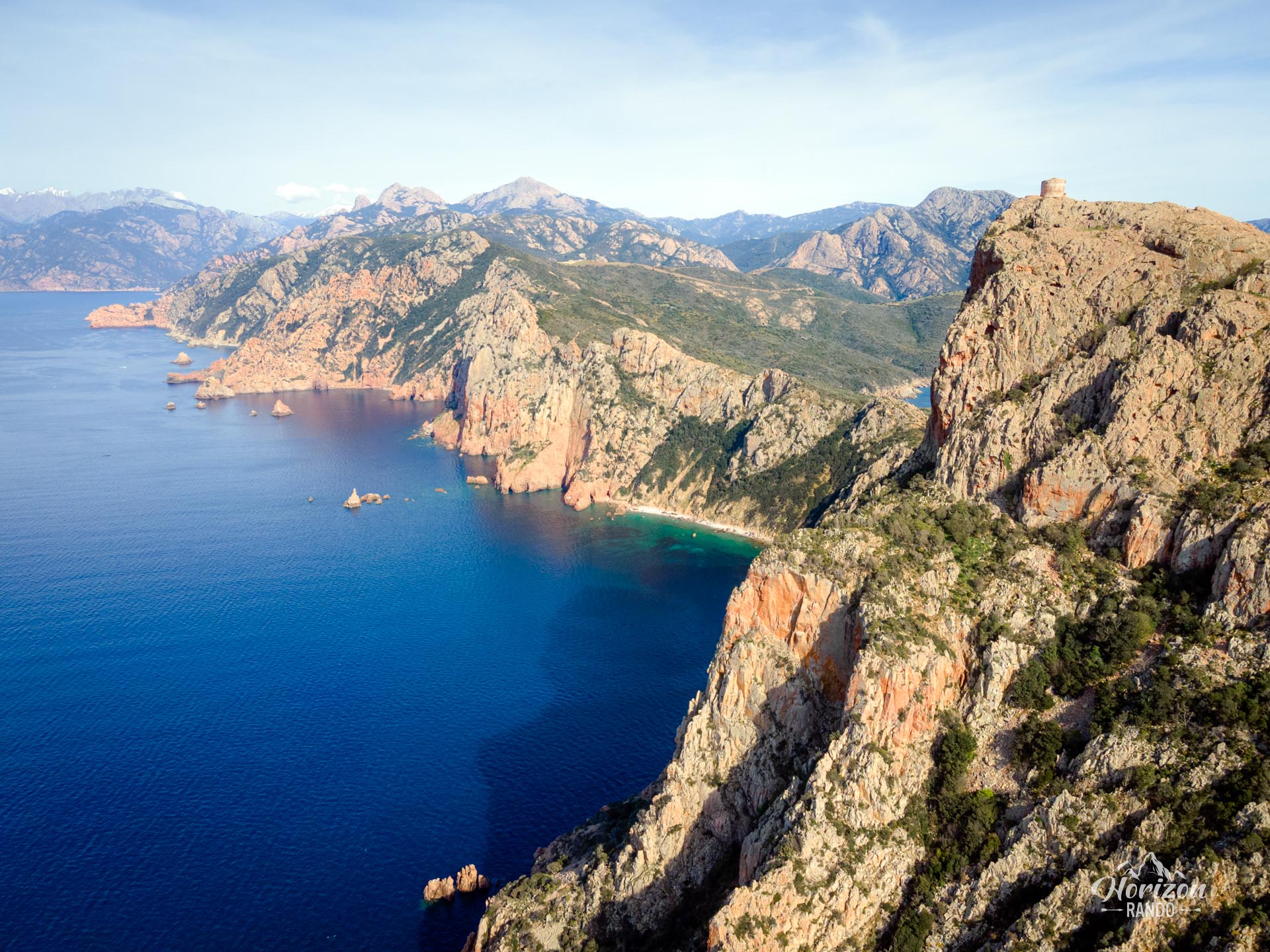
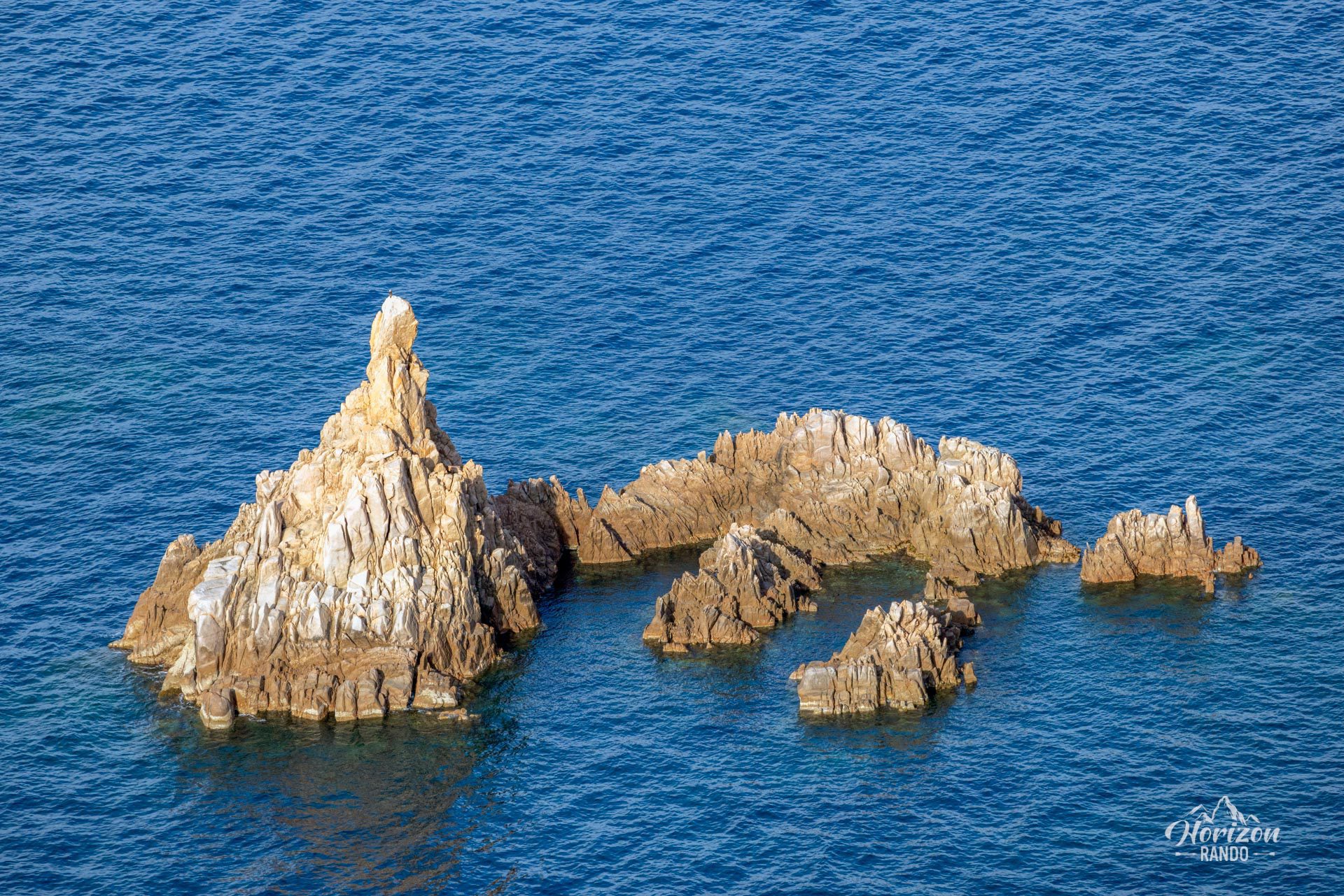
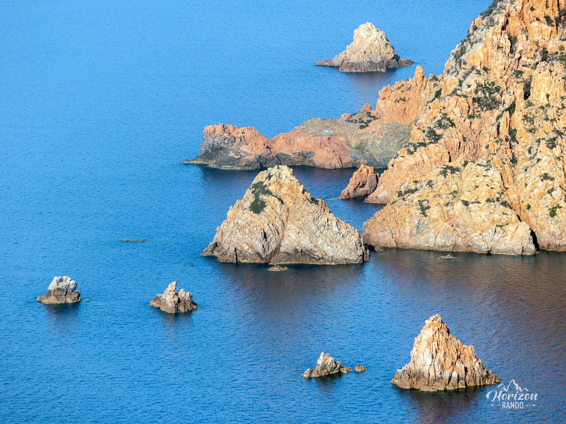
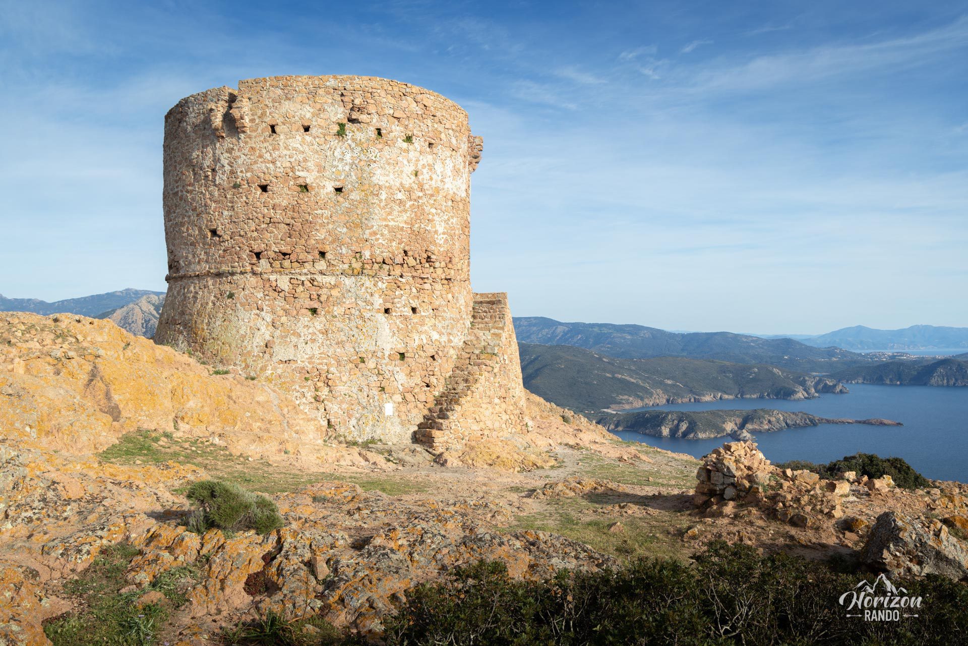
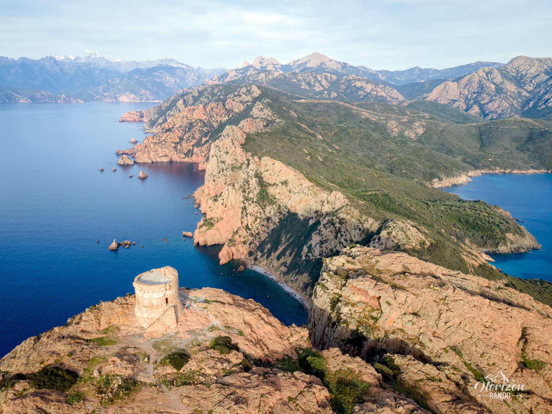
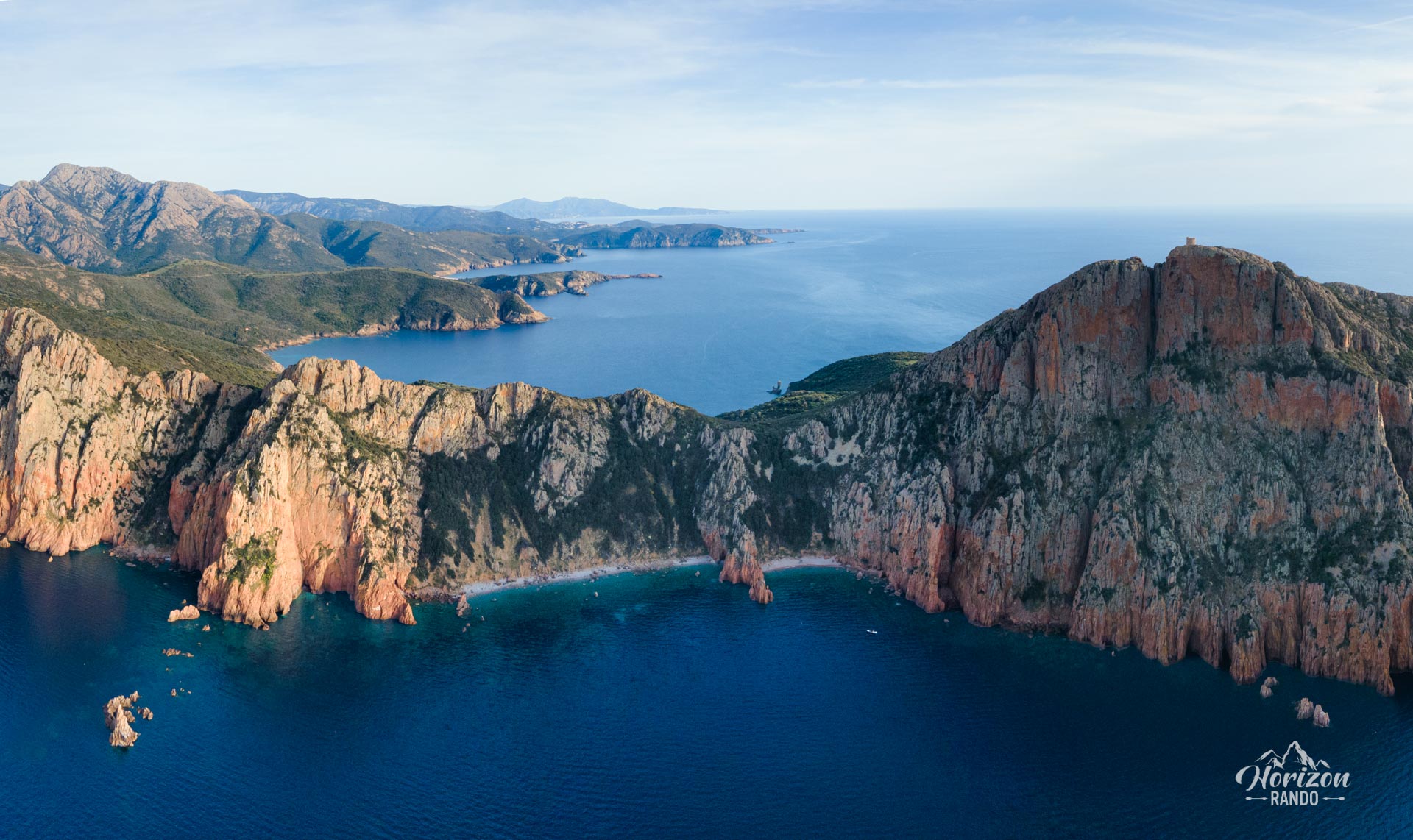
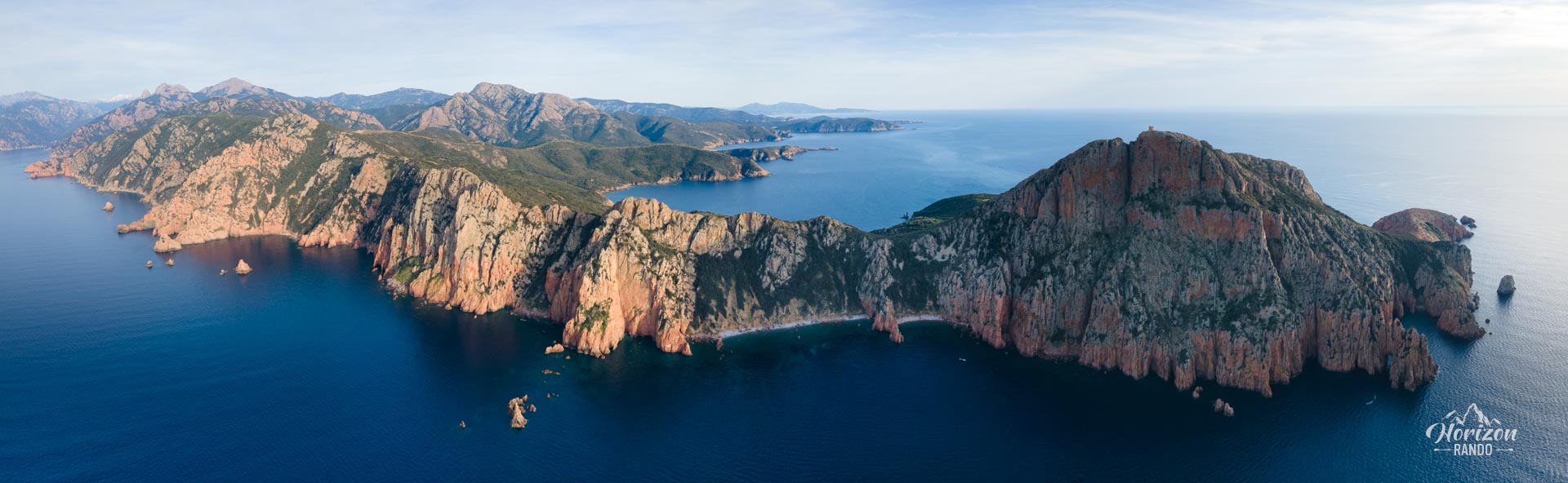
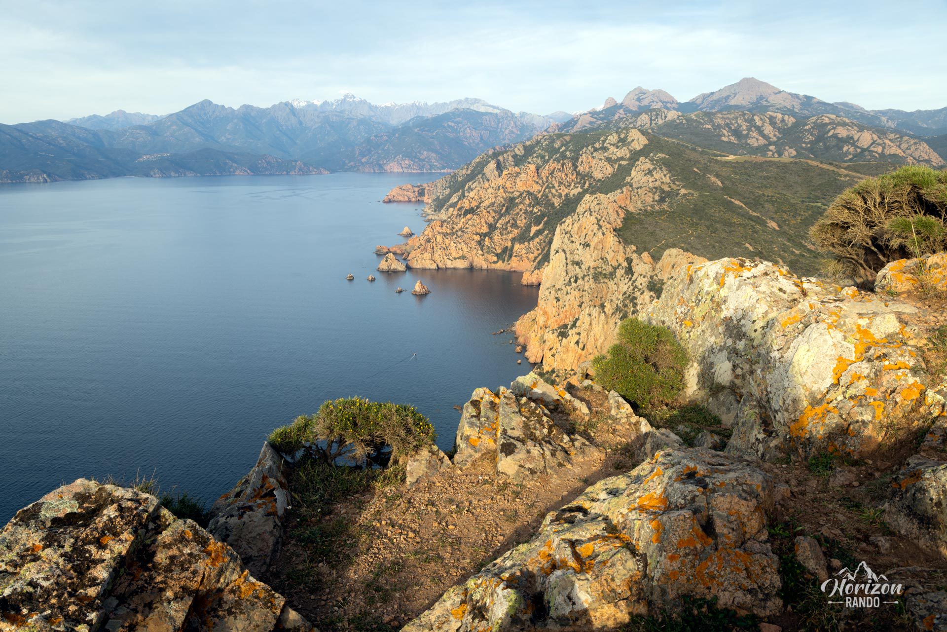
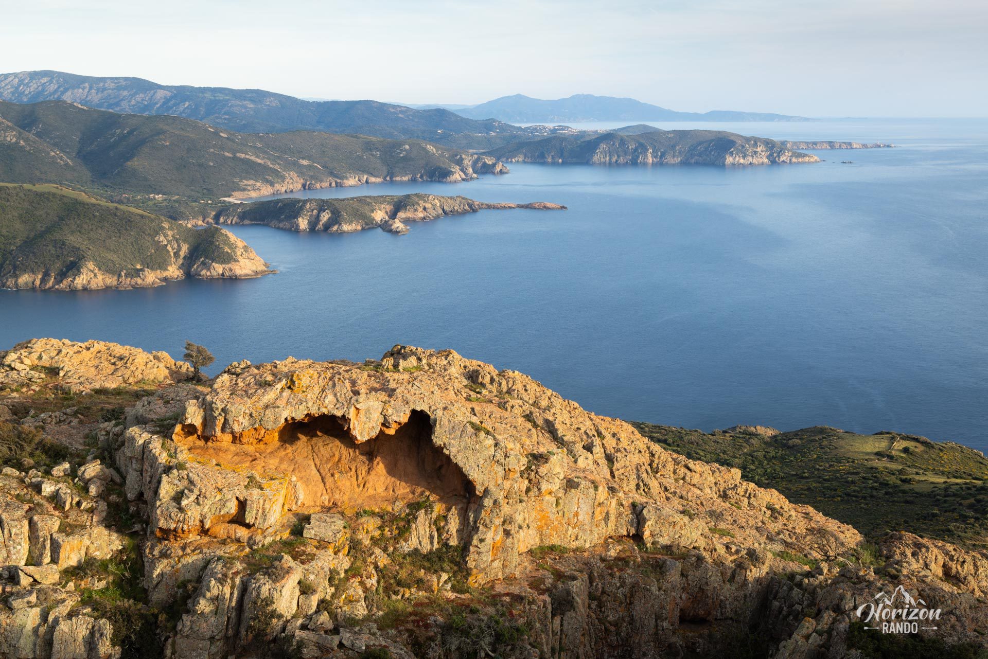
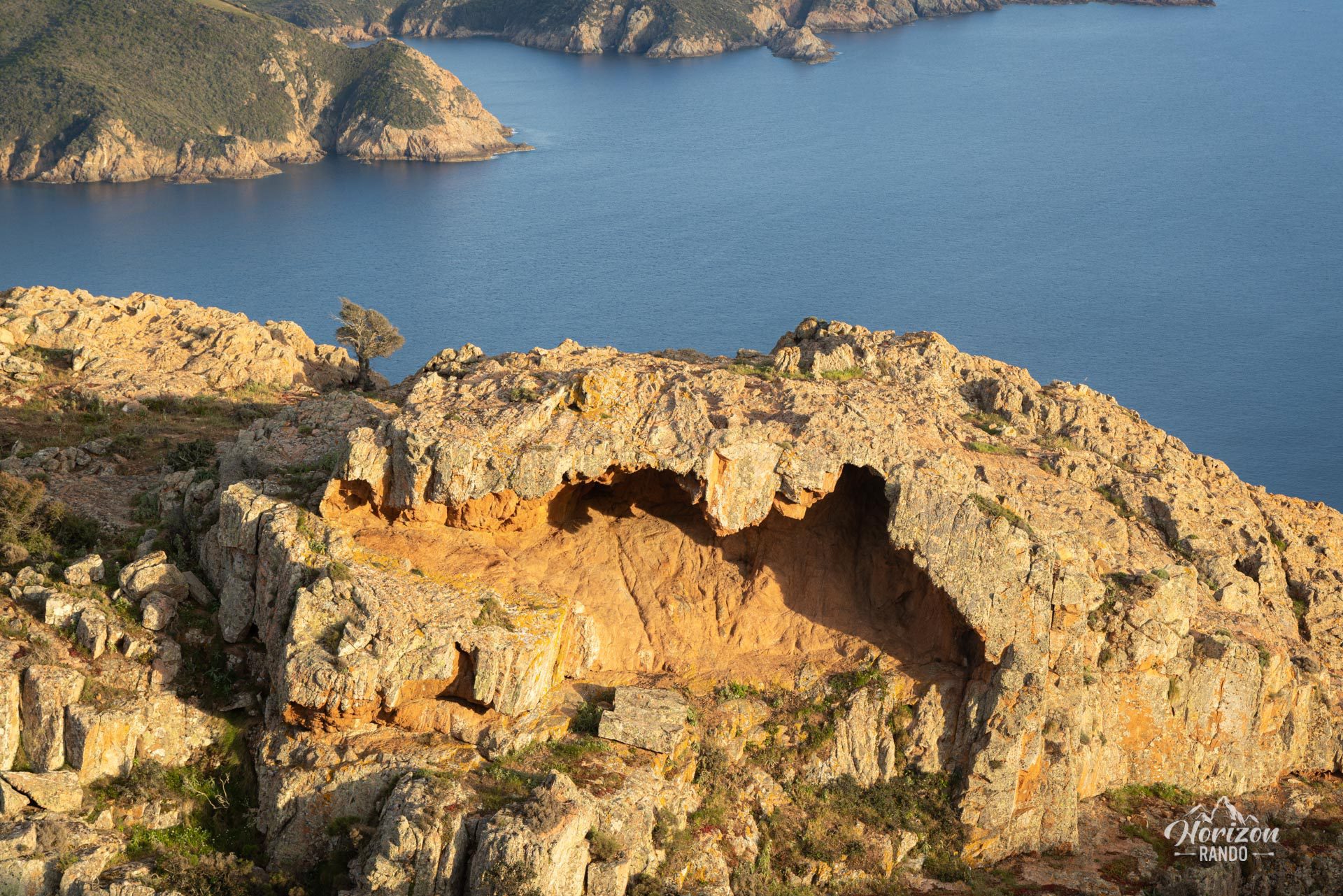
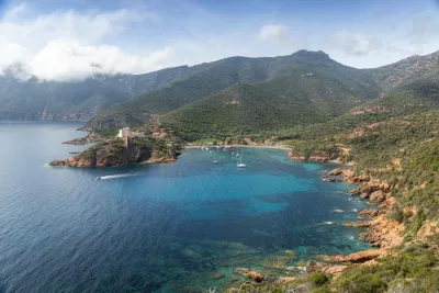
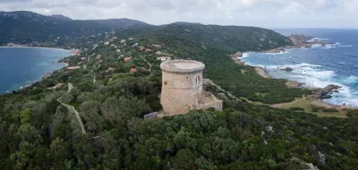
The Capo Rosso hike leads to the Genoese Tower of Turghiu, a Corsican heritage jewel built in 1608. Perched on a pink granite promontory, the tower overlooks the Mediterranean at an altitude of 335 meters. From this point, which is the westernmost on the island, hikers can enjoy a 360° panorama of the gulfs of Porto and Sagone, the Scandola nature reserve, the Calanques of Piana, and the highest mountains in Corsica to the east.
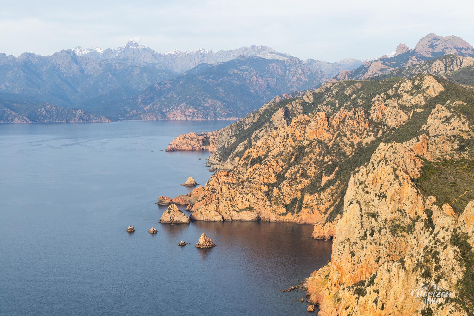
From the access road in Piana, the views over the Gulf of Porto are superb. This hike is a must-see in western Corsica and is accessible to most people. It offers panoramas of exceptional beauty.
Map and elevation profile of the hike
Capo Rosso Hike
Difficulties of the hike
This 9.5-kilometer hike with 570 meters of elevation gain presents no technical difficulties. The trail is excellent, perfectly maintained, and very well marked. However, the total absence of shade along the entire route makes the hike particularly challenging in the summer. There are no water sources along the way.
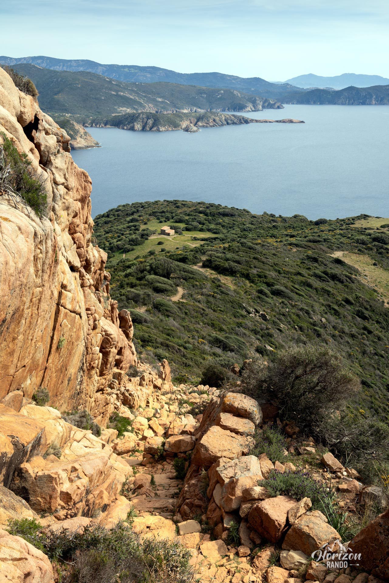
Unlike most hikes in Corsica, this one begins with a descent into the maquis, then gradually climbs back up. The final 30-minute ascent is steeper and goes through a narrow corridor with granite steps.
What you'll love
- The exceptional 360° panoramic views from the summit: A bird's-eye view of the gulfs of Porto and Sagone, the Scandola reserve, and the Corsican peaks in the background.
- The remarkably restored Genoese tower of Turghiu: Accessible via a staircase leading to the watchtower platform, revealing an even more breathtaking view.
- The alternative return route along the coastal path passing by beautiful coves.
Photos
See all 19 photos →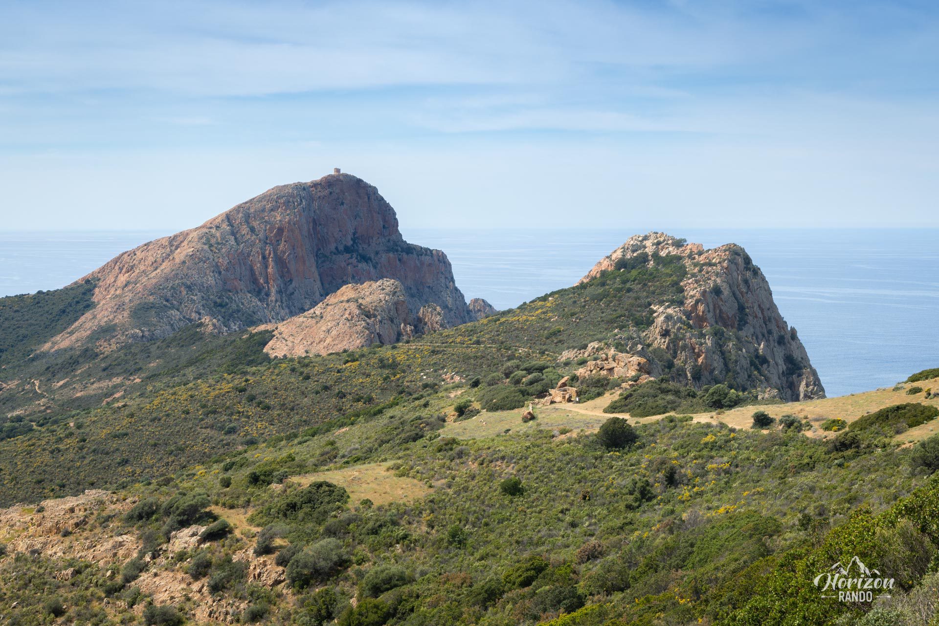
More hikes to do in Corsica
Nearby hikes






Printed from www.horizonrando.fr/en/corsica/capo-rosso/