






Paglia Orba Hike
Key facts about the hike
- Difficulty
- Very hard Hikes are rated from very easy to very hard: my difficulty scale
- Duration
- 8h30 Estimated time, short breaks included (photos, water, snacks), picnic not included: how it is calculated
- Distance
- 18km
- out and back
- Elevation gain
- 1,290m
- Type of route
- Out and back
- Maximum altitude
- 2,525 m
- Vertiginous Five levels, depending on how exposed the route is: the levels in detail
- Very highly
- Marked
- Partially
- Popularity
- Low
- Region
- North-West
- Start point
- 42.29728, 8.88507
- Activity
- Hiking
Hike overview
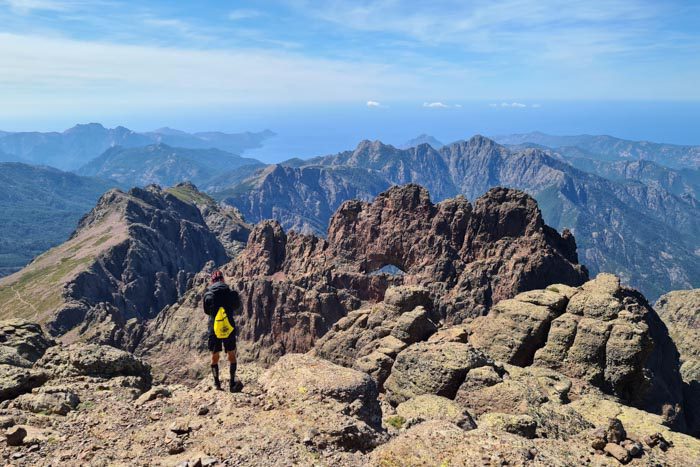
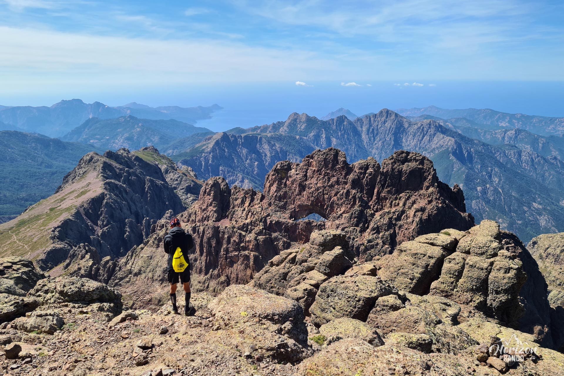
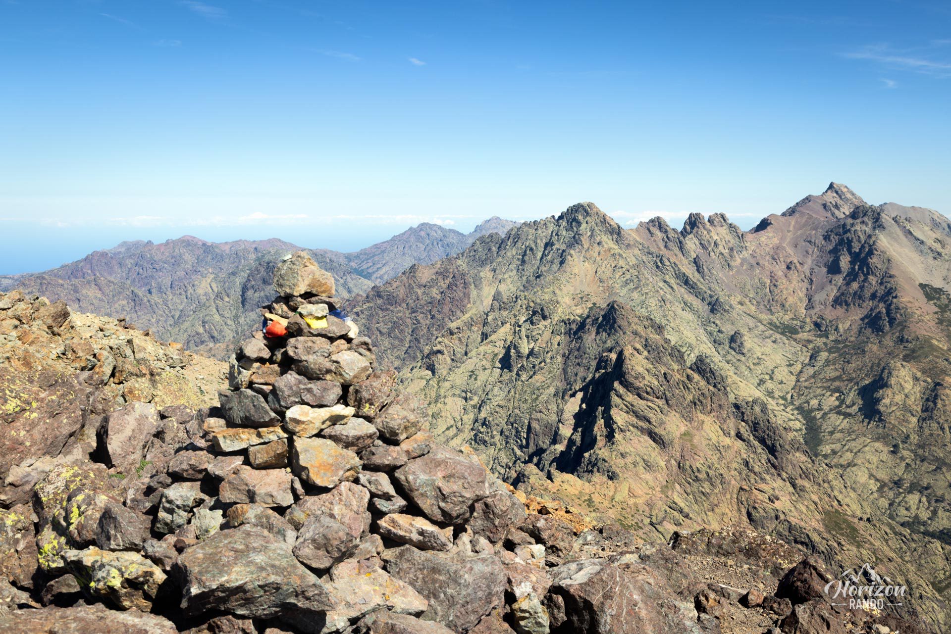
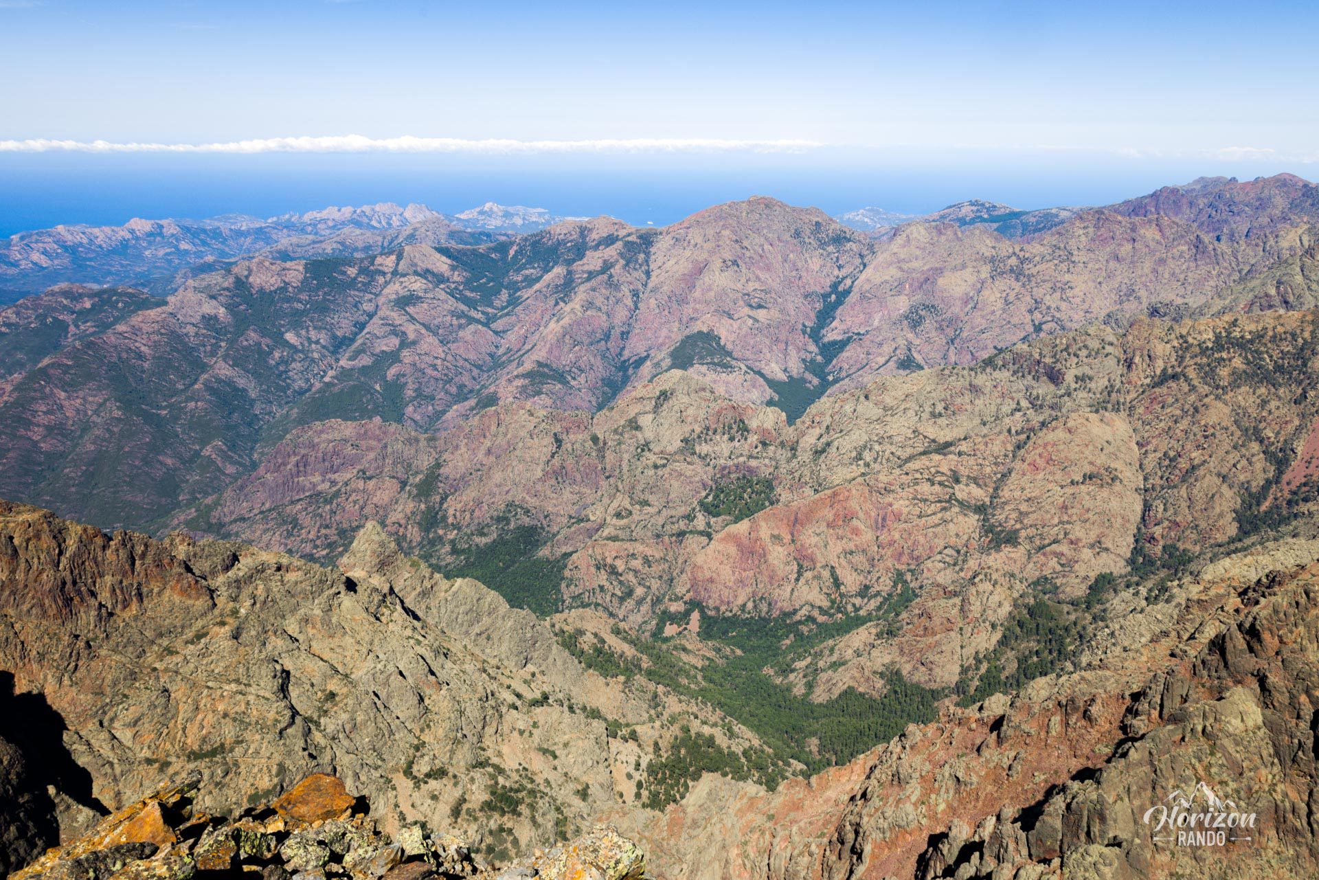
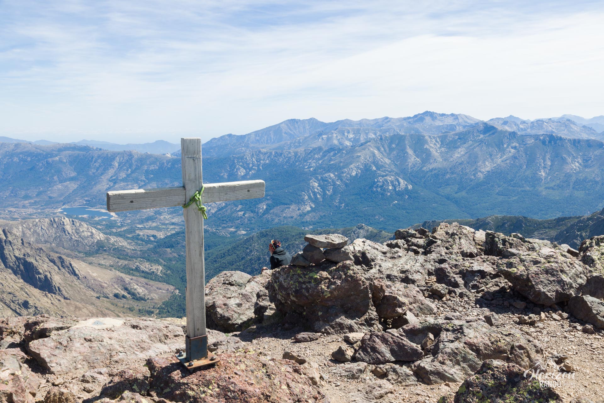
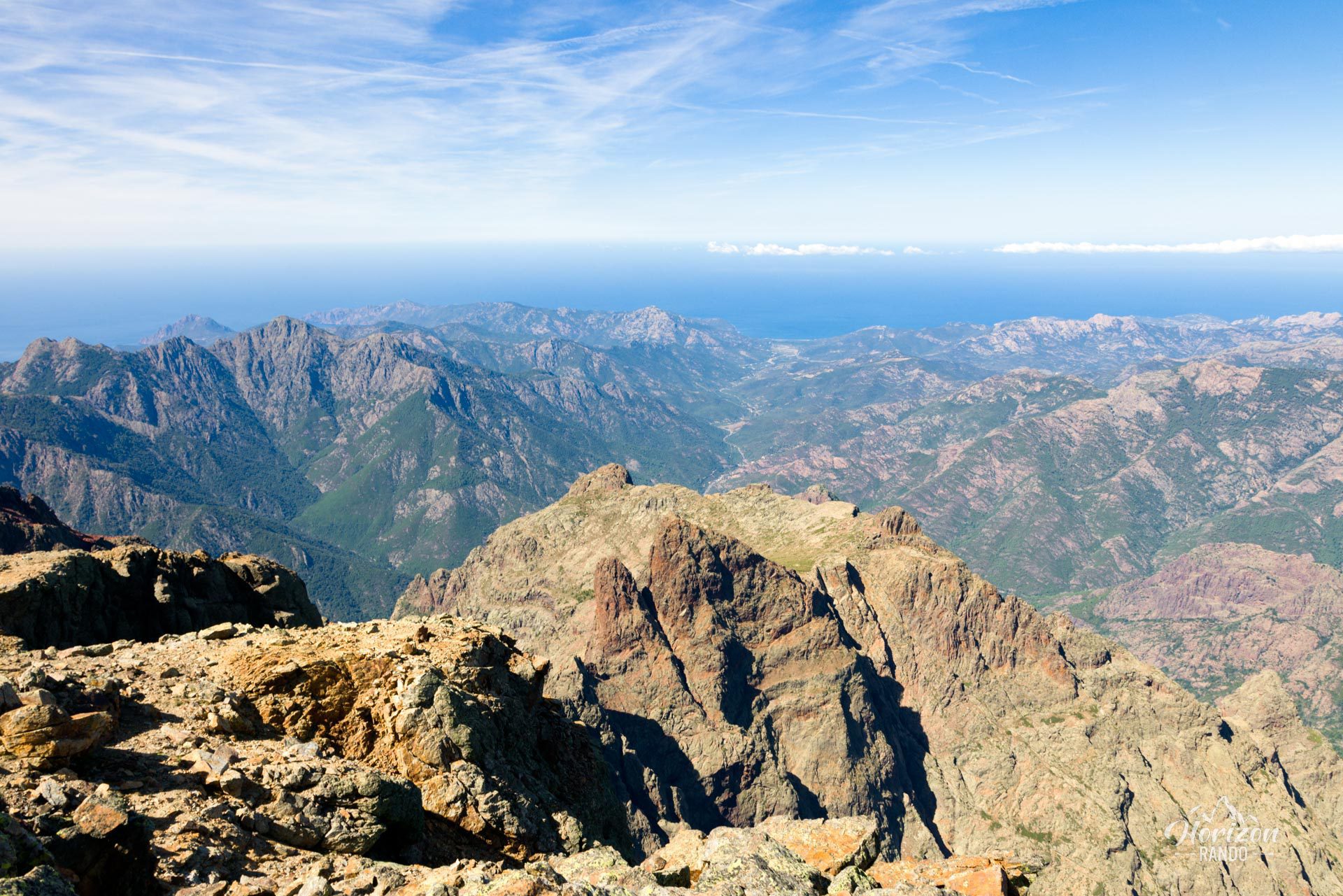
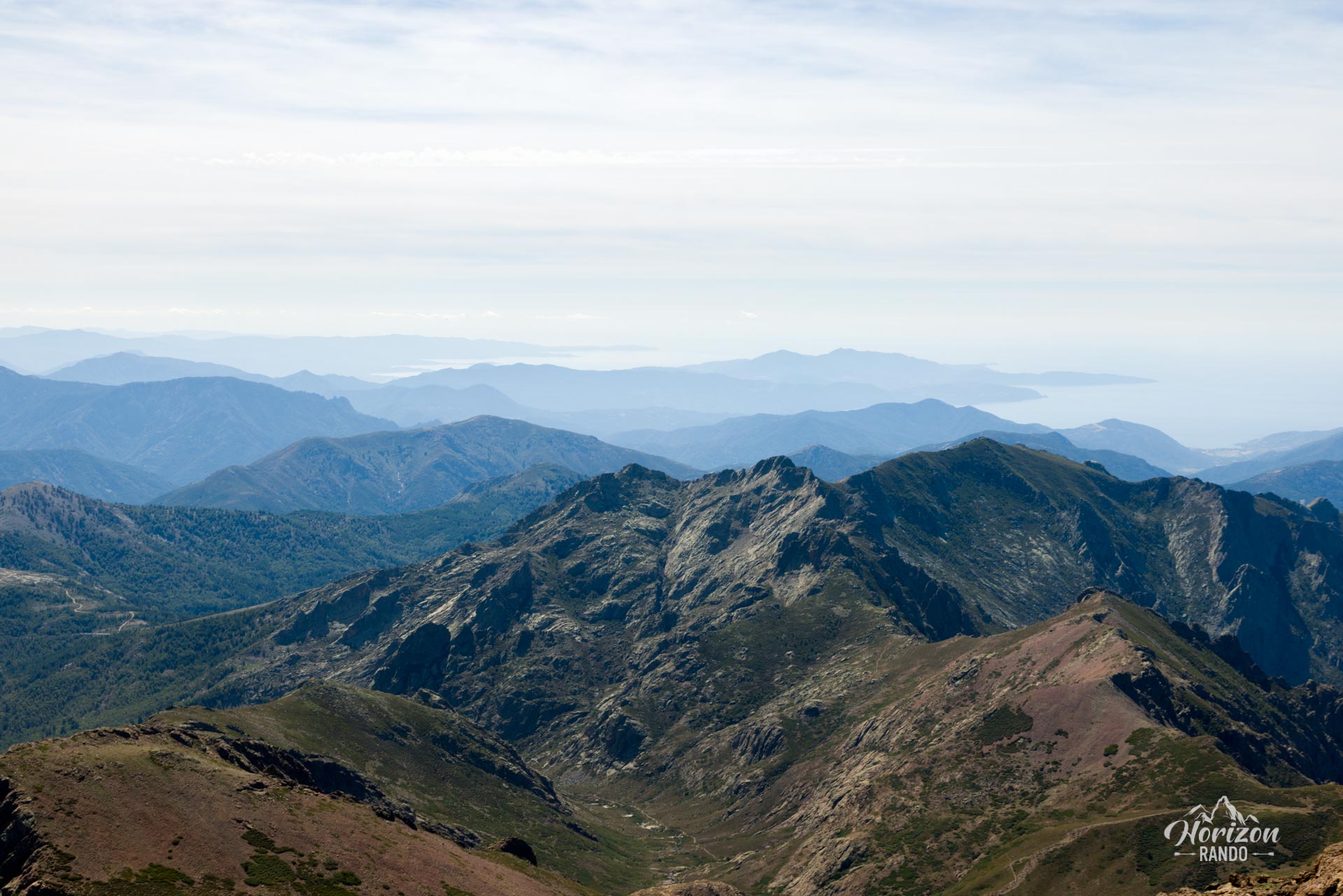
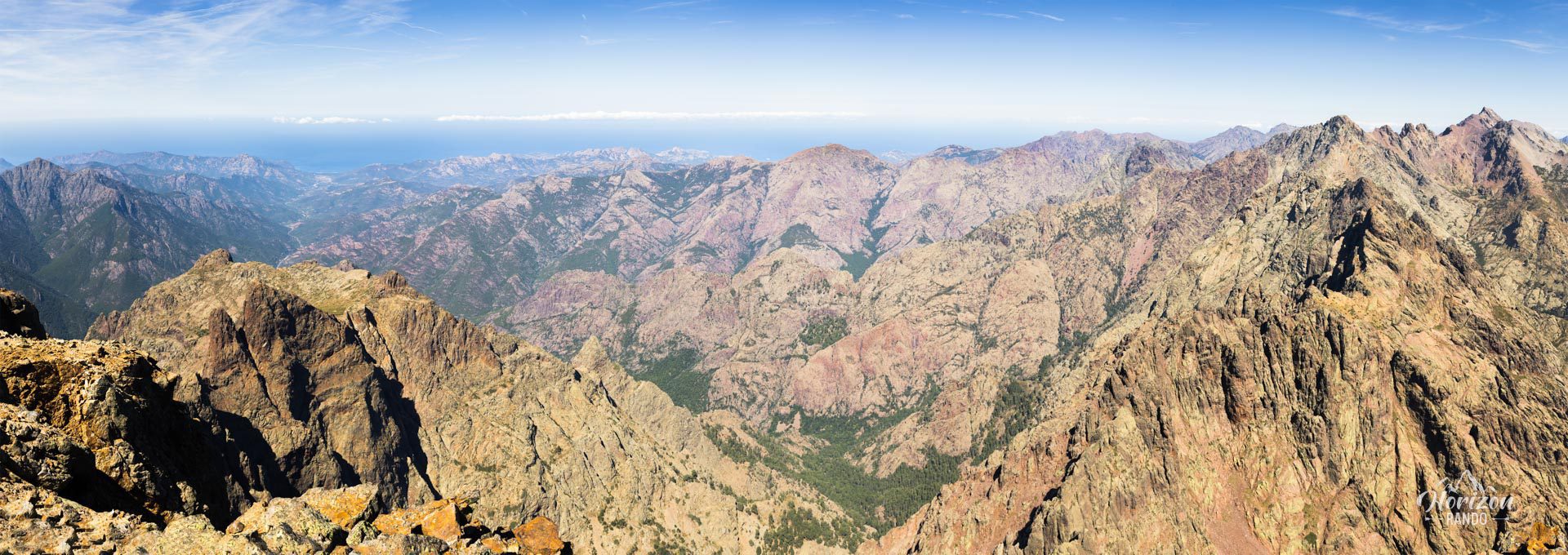
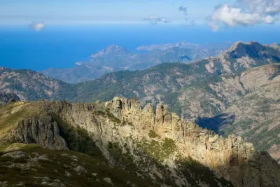
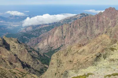
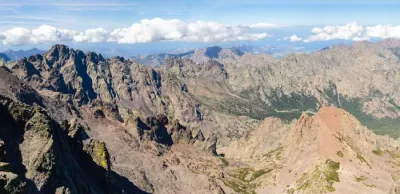
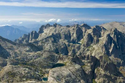
Prepare for an epic adventure as you conquer Paglia Orba, the third-highest peak on the island, rising 2,525 meters above sea level. Distinguishable by its unique, tooth-shaped silhouette, this hike offers one of the most beautiful panoramas in Corsica. Spectacular views await you, including the Cinto massif with its magnificent palette of colors, the Fango valley, the Galeria and Porto gulfs, and the nearby Capu Tafunatu.
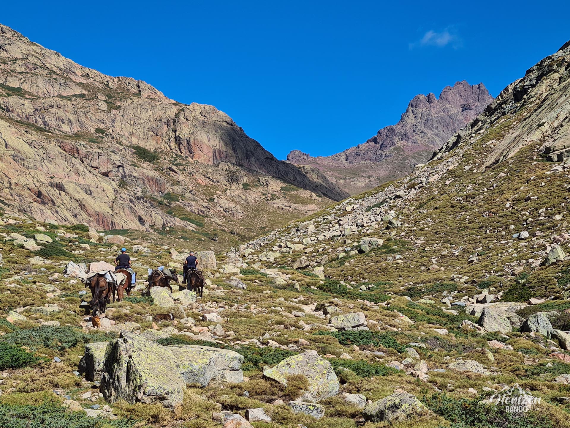
This climb is on the border between hiking and mountaineering and is reserved for the most experienced hikers. From the Ciottulu di i Mori refuge to the summit, the route follows the Golo, Corsica's longest river, on the GR20 trail. There are no major difficulties along this section. However, the final ascent from the refuge presents a different challenge entirely, involving technical scrambling passages and tricky navigation through a rocky maze.
Map and elevation profile of the hike
Paglia Orba Hike
Description and difficulties of the hike
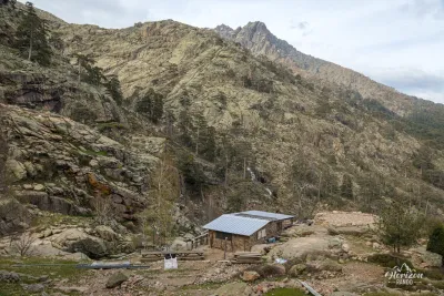
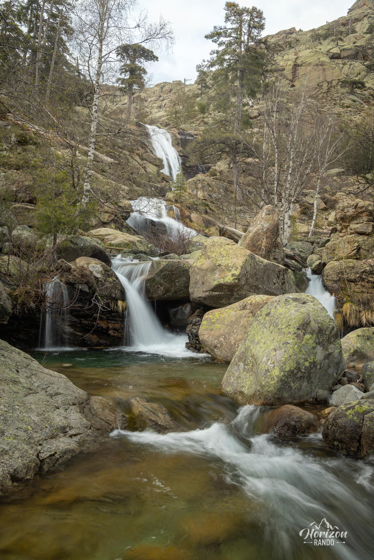
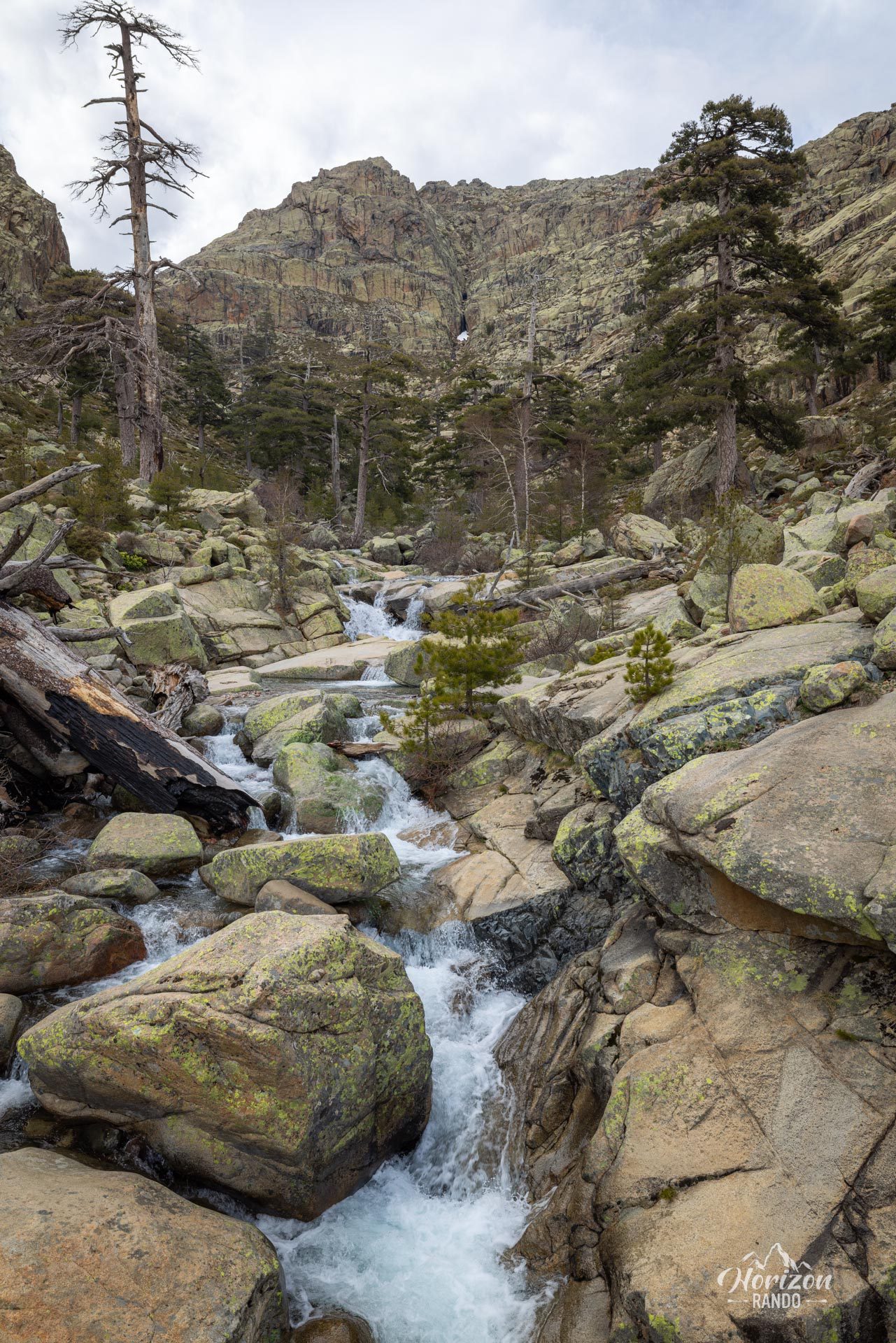
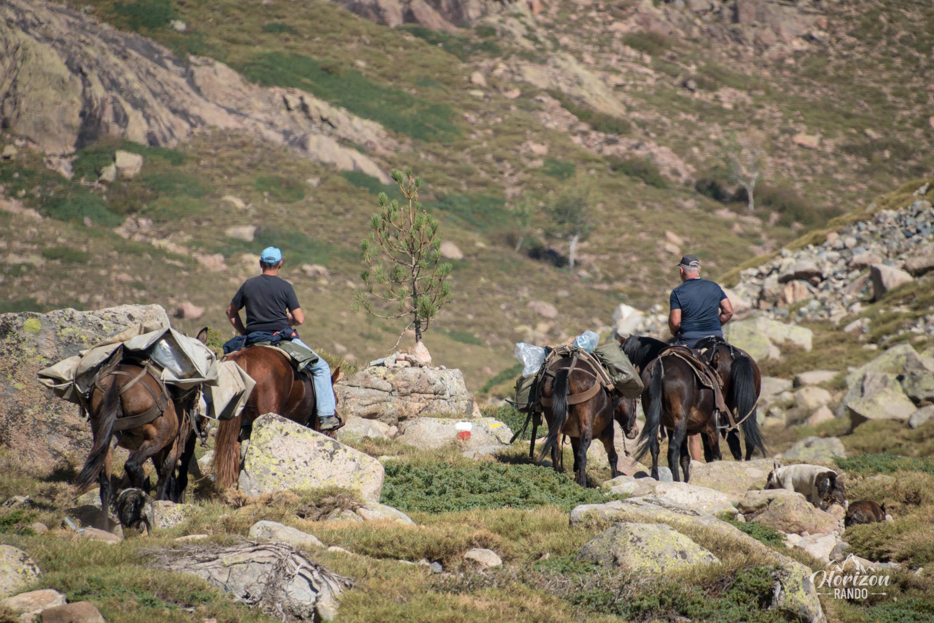
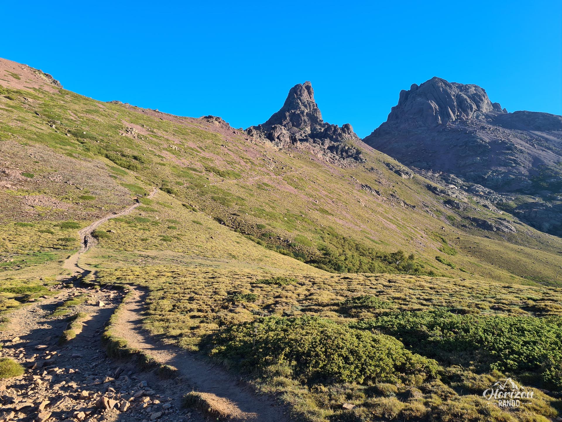
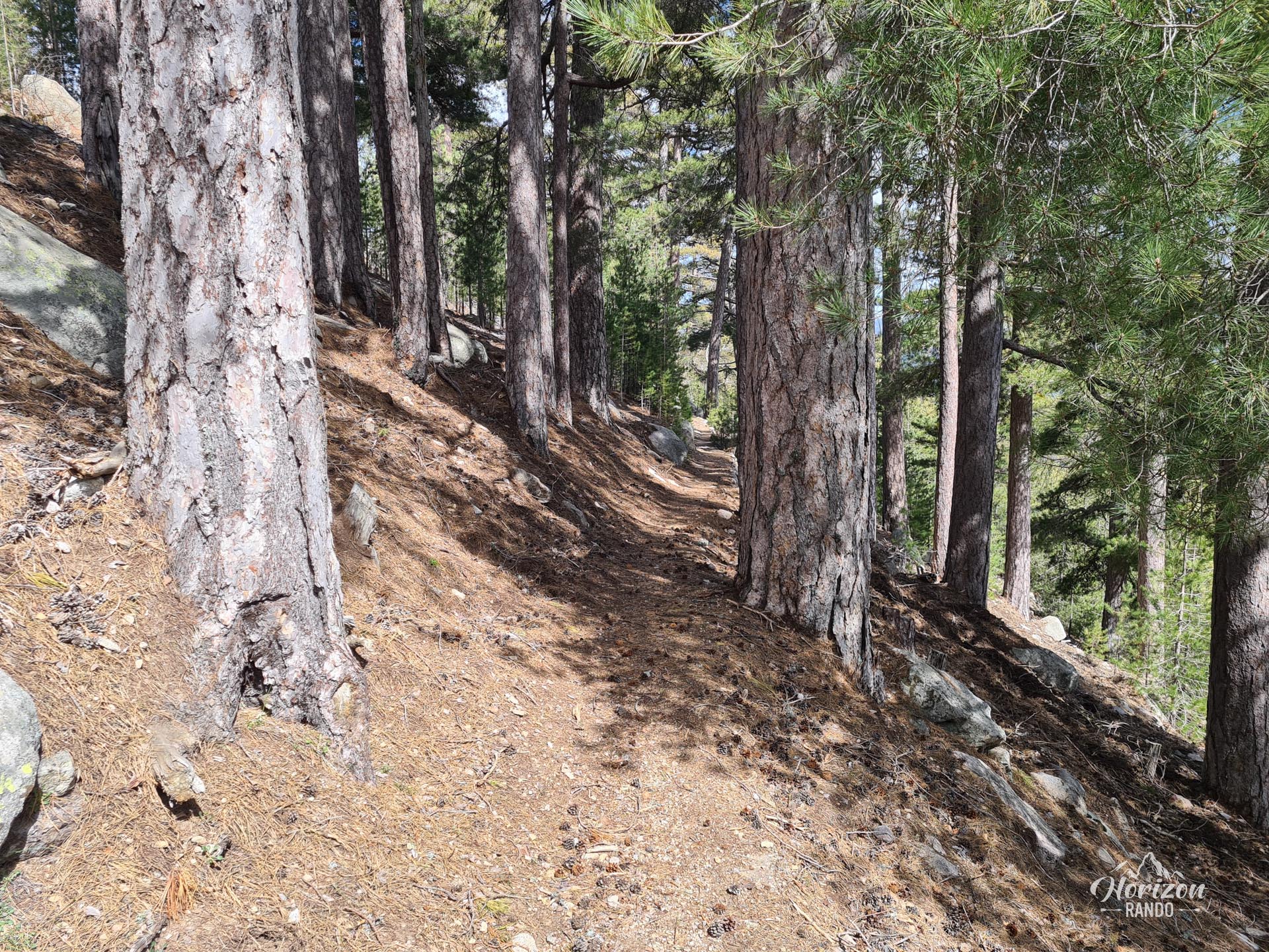
Up to the Ciottulu di i Mori refuge, located at an altitude of 1,991 meters, the trail follows the GR20 route without any major difficulties. Clearly marked in red and white, it winds through the magnificent Valdu Niellu forest and gradually climbs up the Golo valley.
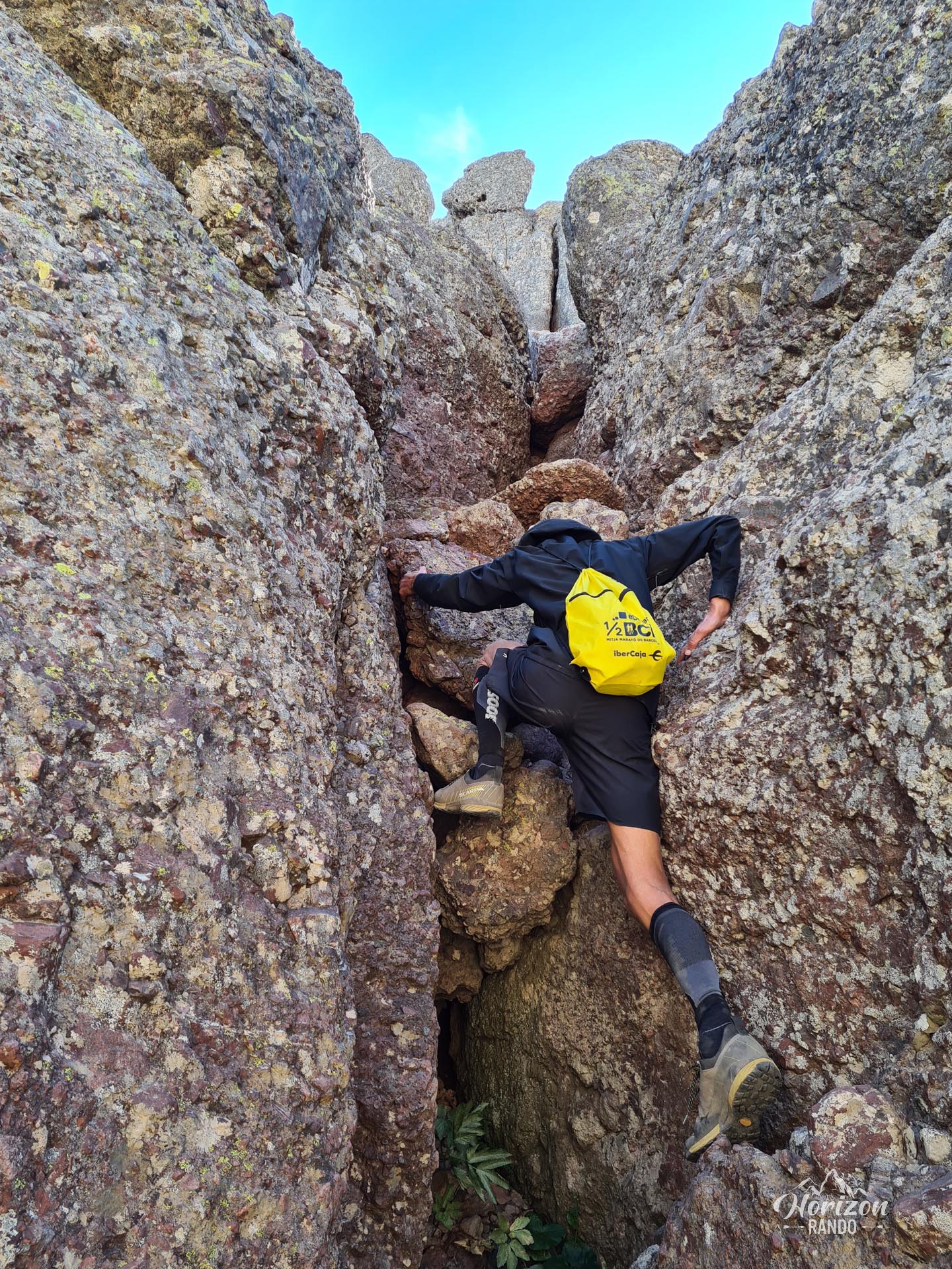
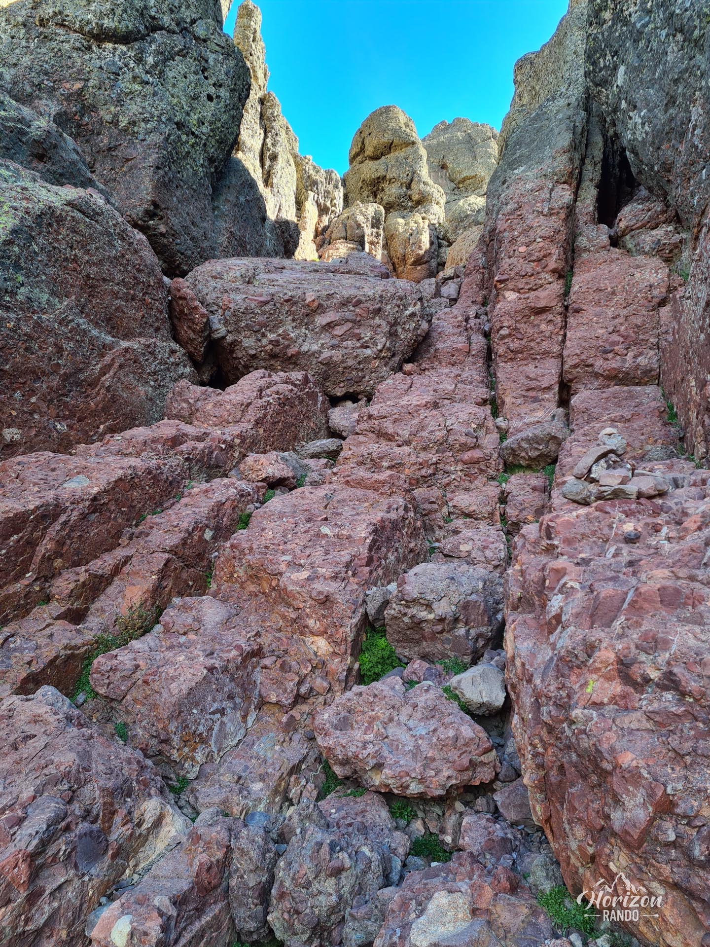
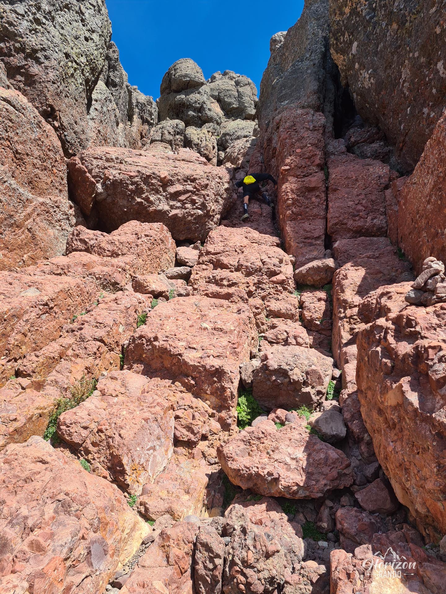
From the refuge, the nature of the hike changes radically. The markings disappear, and only difficult-to-spot cairns now mark the route. Navigation becomes technical, particularly in the rocky chaos of the ascent. The route involves several easy climbing passages in steep couloirs and chimneys with exposed sections that require good control.
After climbing the couloirs, you might think you've reached the summit. However, this is only a secondary summit. The true summit is separated from it by the "combe des chèvres" (Goat Valley). The good news is that the main difficulties are now behind you. All that remains is to descend to the pass before beginning the final ascent to the iconic summit of Paglia Orba.
Alternatives: There are two possible routes at the Col des Maures (see map). The easier route passes further south and avoids an exposed technical section.
What you'll love
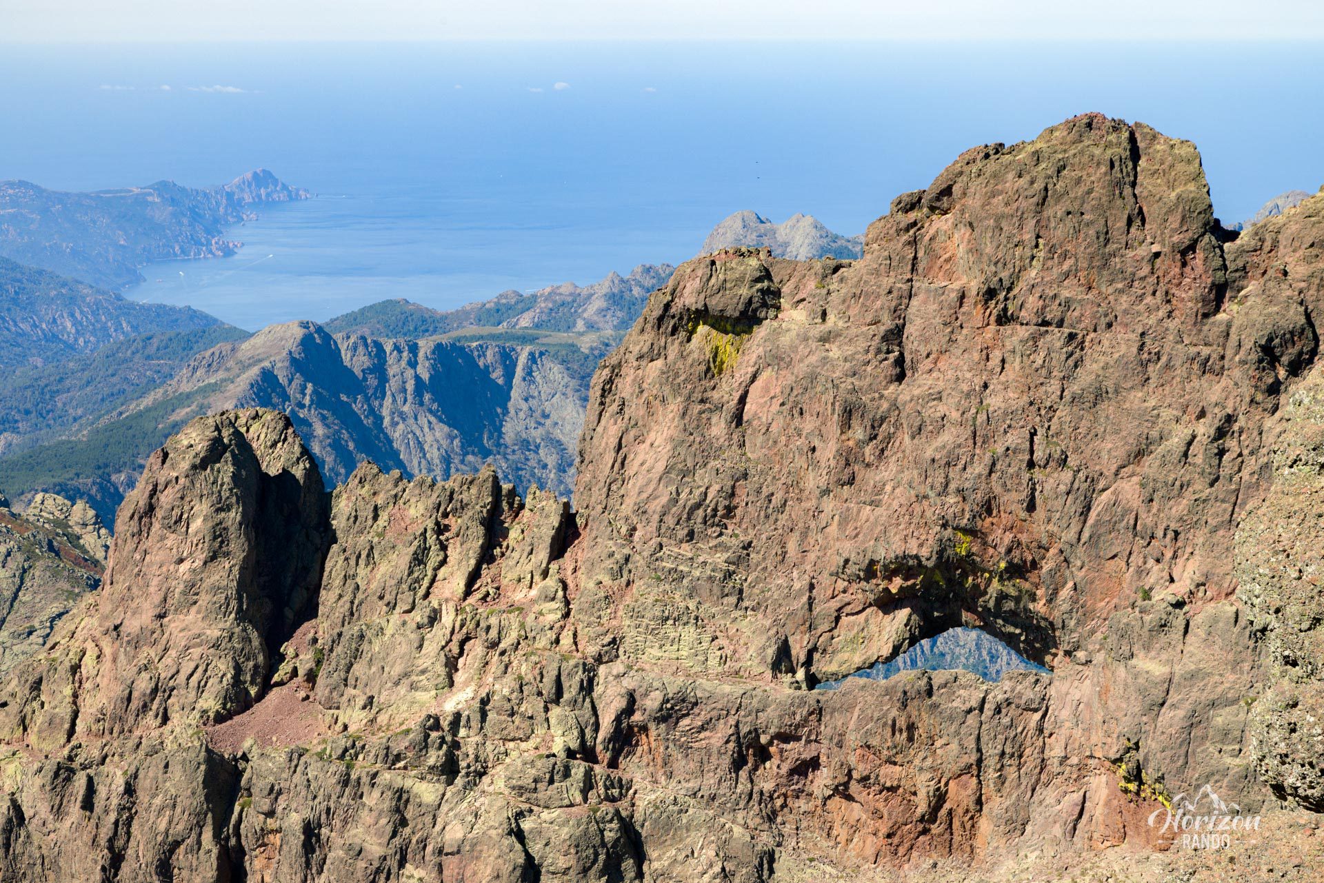
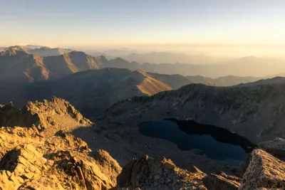
- The exceptional panorama from the summit: 360° views of the Cinto massif, the Gulf of Porto, the Mediterranean, the Fango Valley, and Capu Tafunatu with its impressive hole.
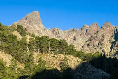
- The massif's spectacular colors, with red, ocher, and orange hues characteristic of puddingstone and volcanic rocks.
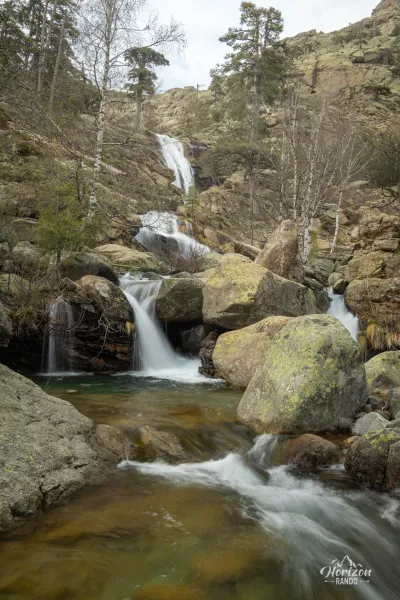
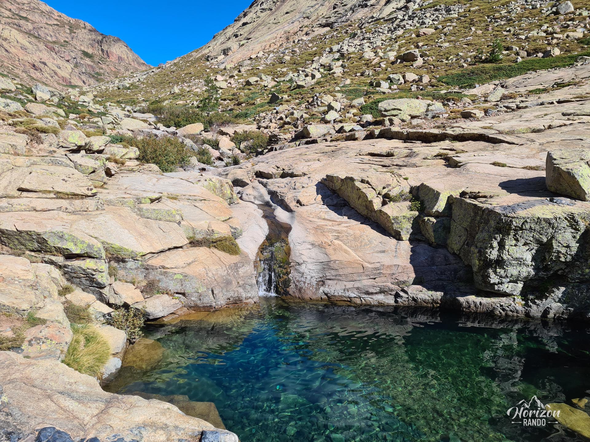
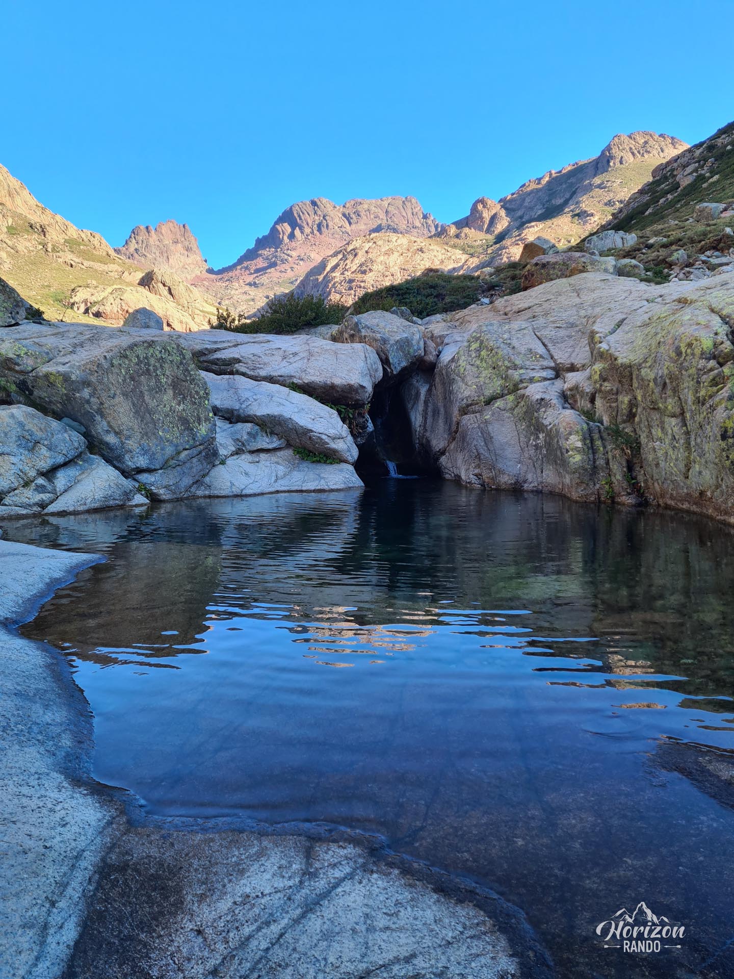
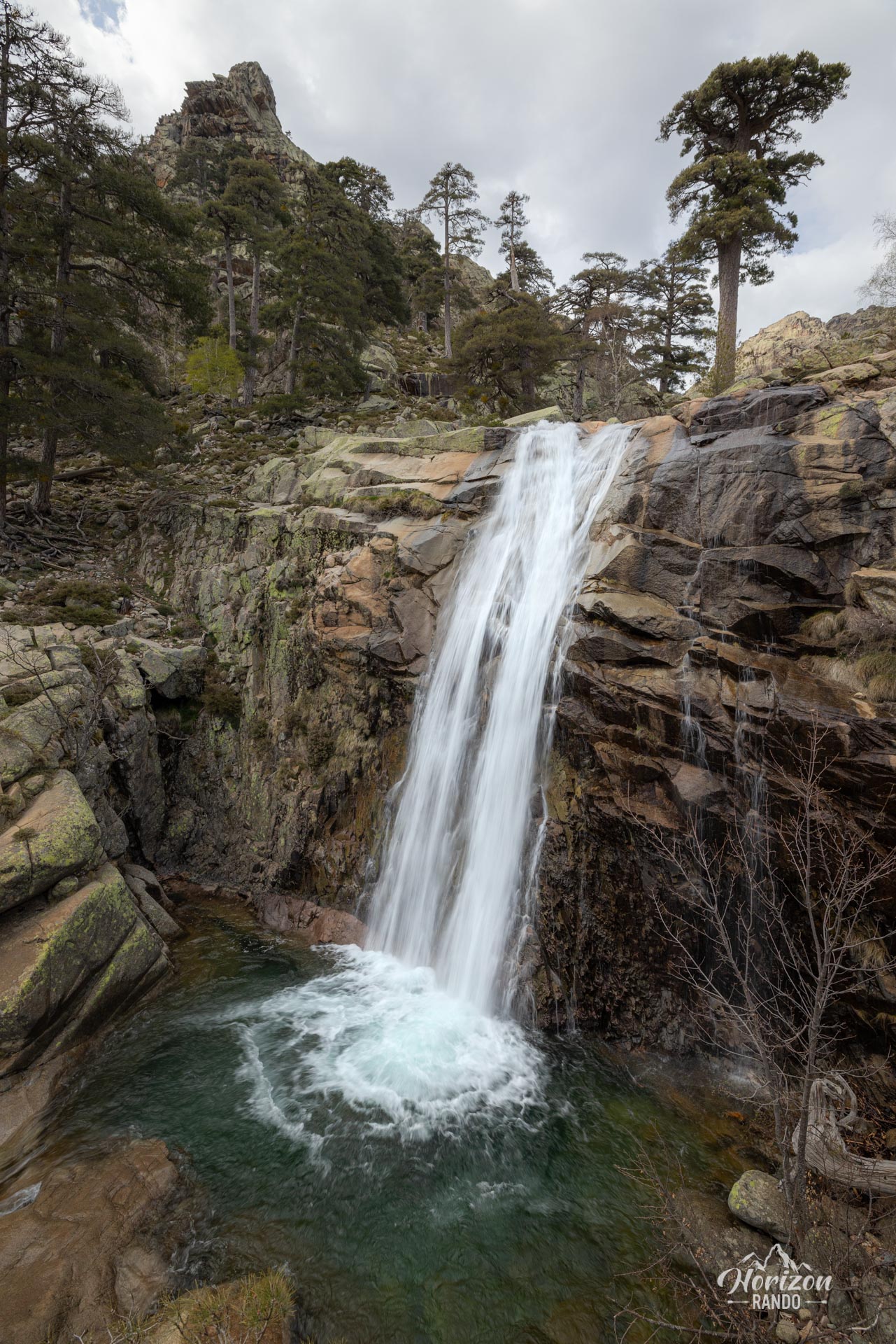
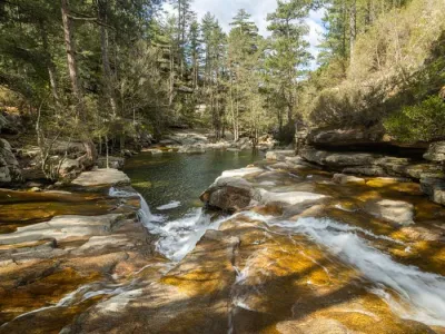
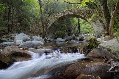
- The natural pools fed by the Golo along the route, perfect for a refreshing break on the way back.
- The Radule sheepfold, where you can sample authentic Corsican charcuterie and cheeses.
- Total immersion in the high mountains of a wild, mineral environment, far from the crowds of the GR20.
Practical information
Best time to go
The ideal time to take this hike is between late June and early October, depending on snow conditions, as it is only accessible without mountaineering equipment during this period. Be sure to check with the Ciottulu di i Mori refuge warden about conditions before attempting the final ascent.
Required level
This route is only suitable for very experienced hikers who are comfortable with easy climbing and are not afraid of heights. Others can still enjoy the landscape by going to Col des Maures (2,152 m), which offers spectacular views.
Photos
See all 21 photos →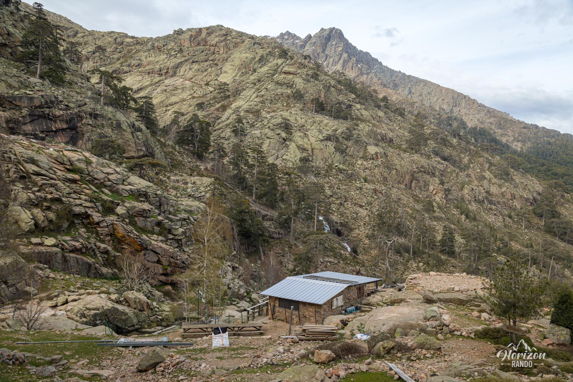
More hikes to do in Corsica
Nearby hikes






Printed from www.horizonrando.fr/en/corsica/paglia-orba/