






Capu a Cuccula Hike
Key facts about the hike
- Difficulty
- Moderate Hikes are rated from very easy to very hard: my difficulty scale
- Duration
- 3h45 Estimated time, short breaks included (photos, water, snacks), picnic not included: how it is calculated
- Distance
- 6.3km
- out and back
- Elevation gain
- 650m
- Type of route
- Out and back
- Maximum altitude
- 2,049 m
- Vertiginous Five levels, depending on how exposed the route is: the levels in detail
- Slightly
- Marked
- No
- Popularity
- Very low
- Region
- North-West
- Start point
- 42.29052, 8.87829
- Activity
- Hiking
Hike overview
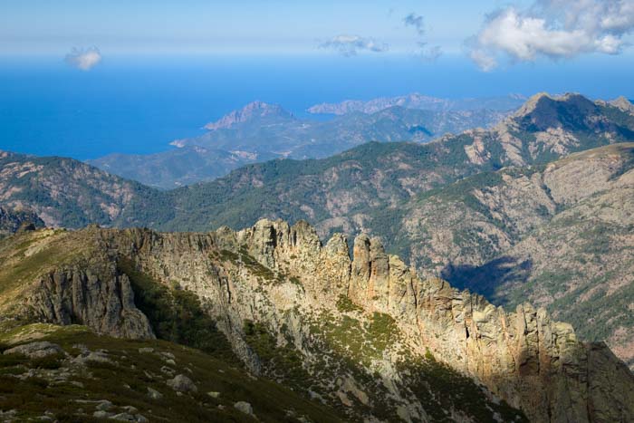
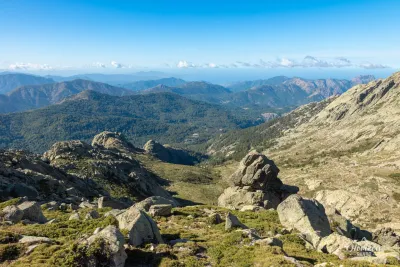
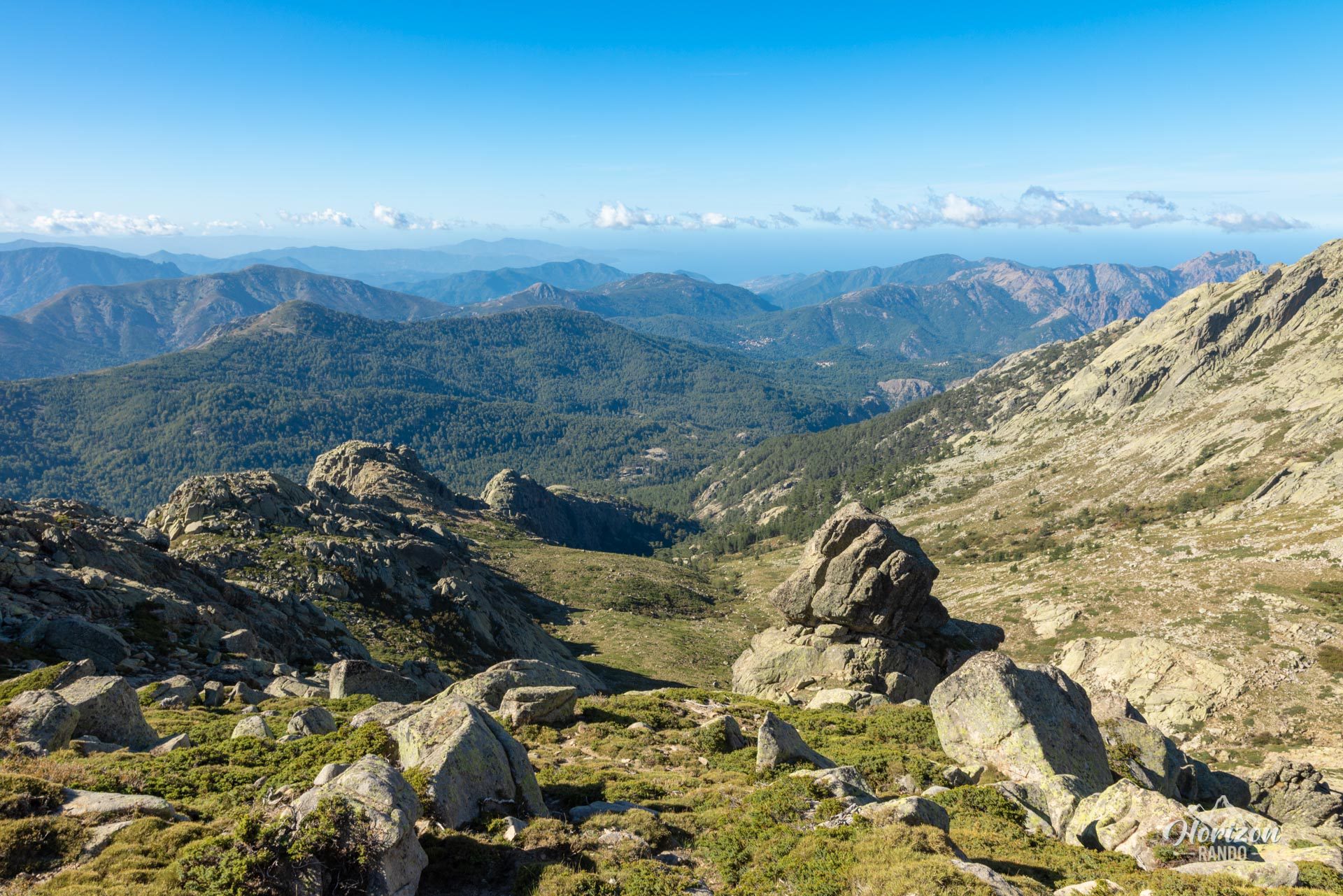
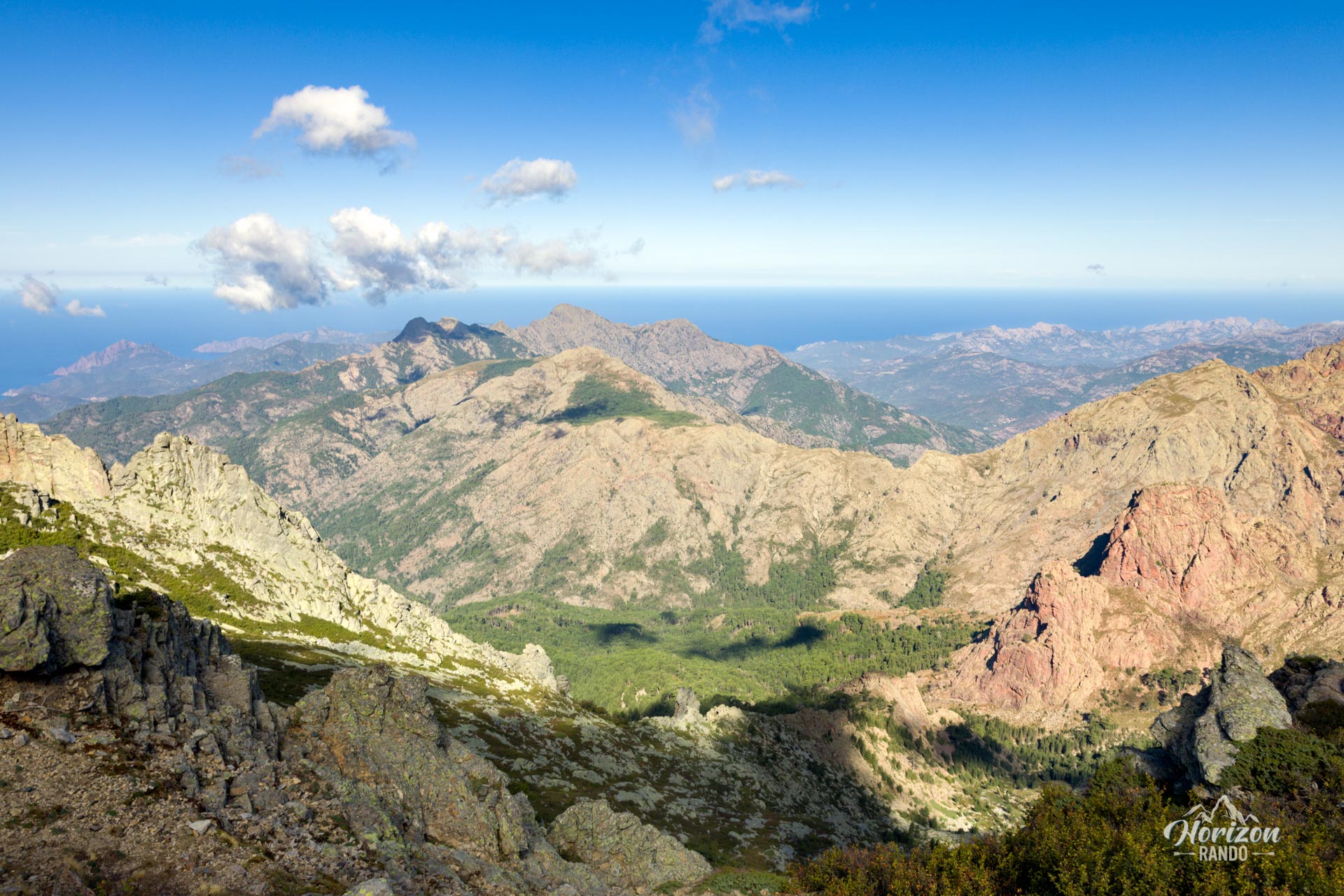
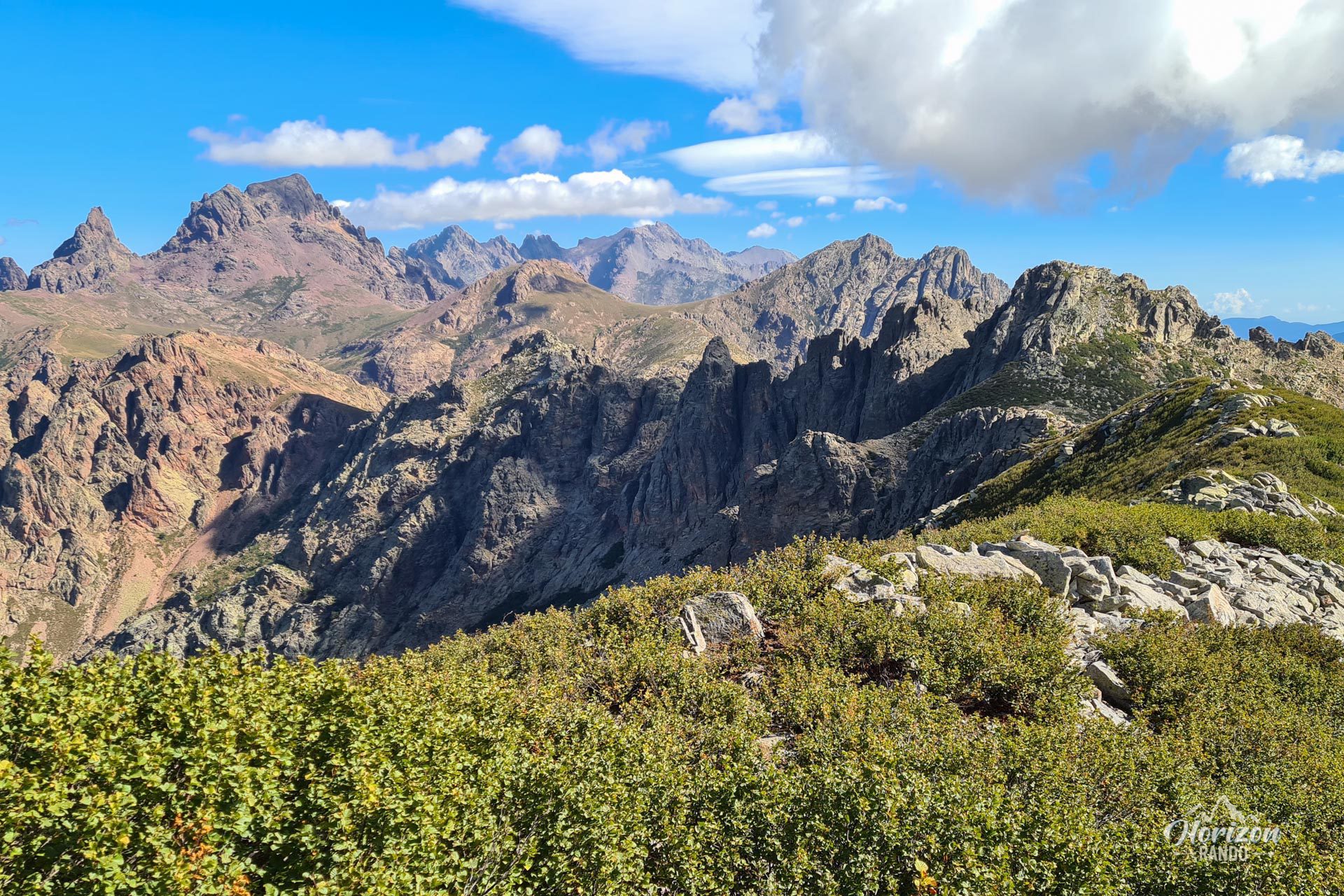
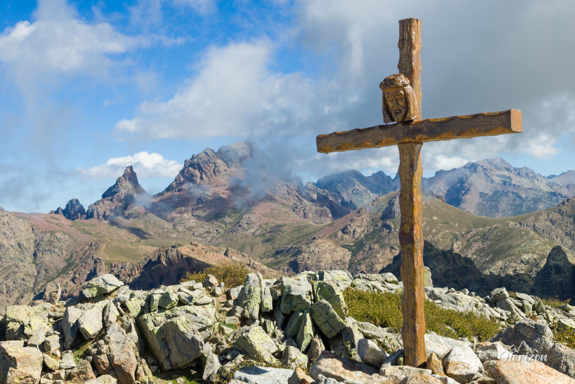
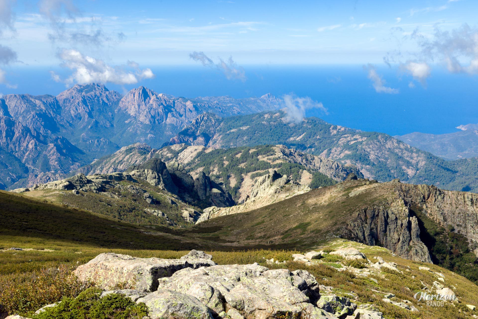
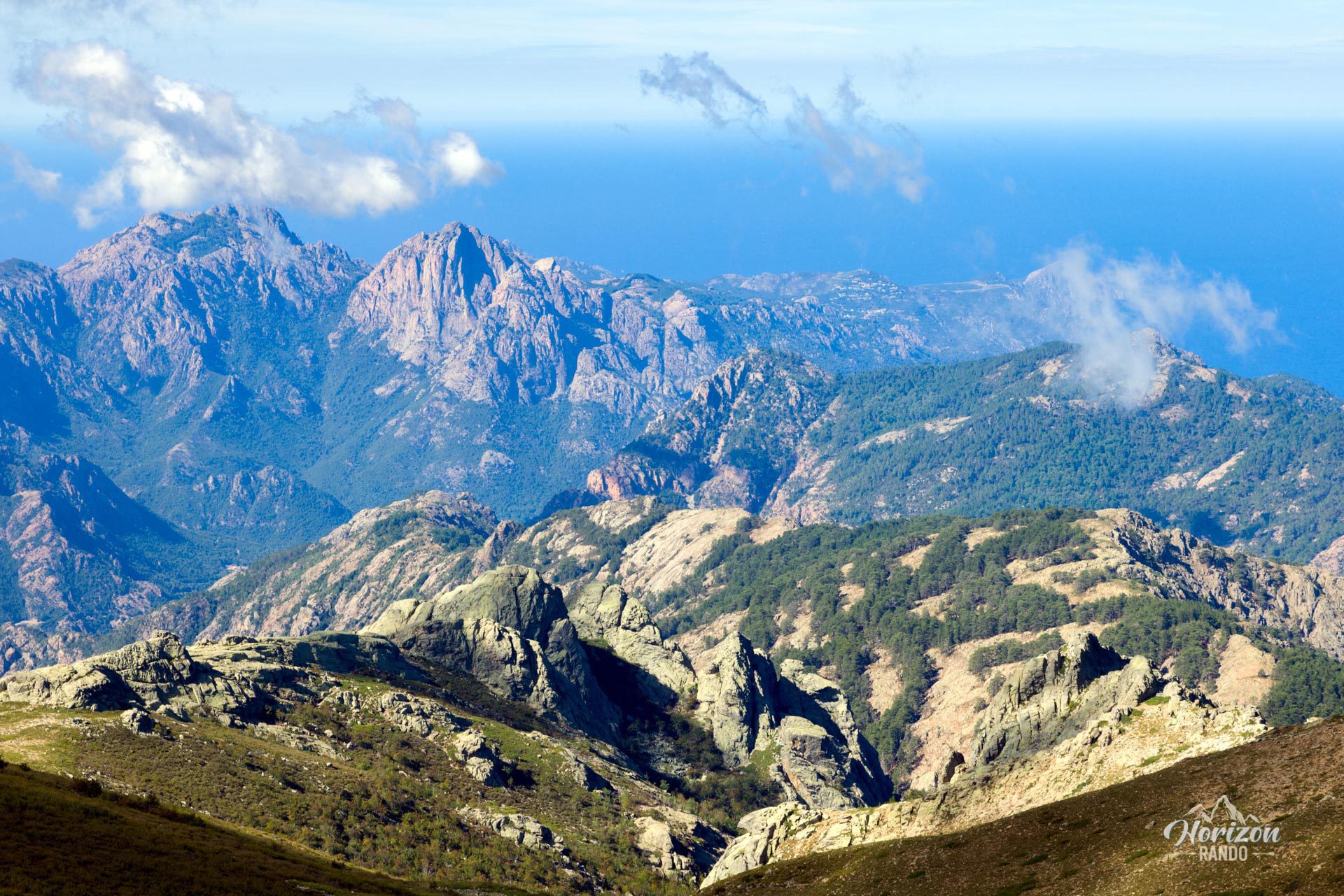
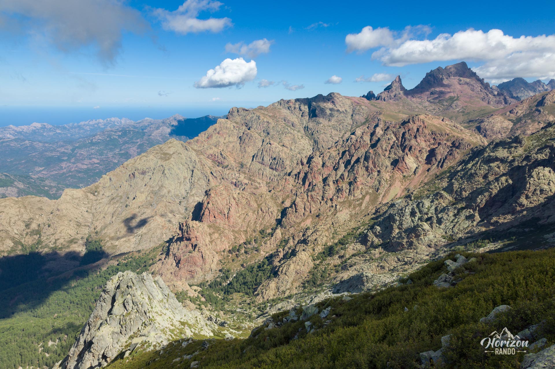
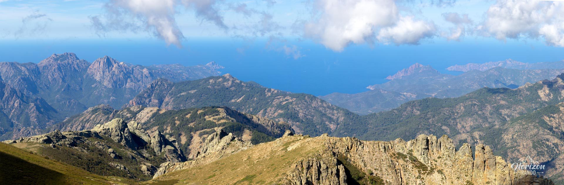
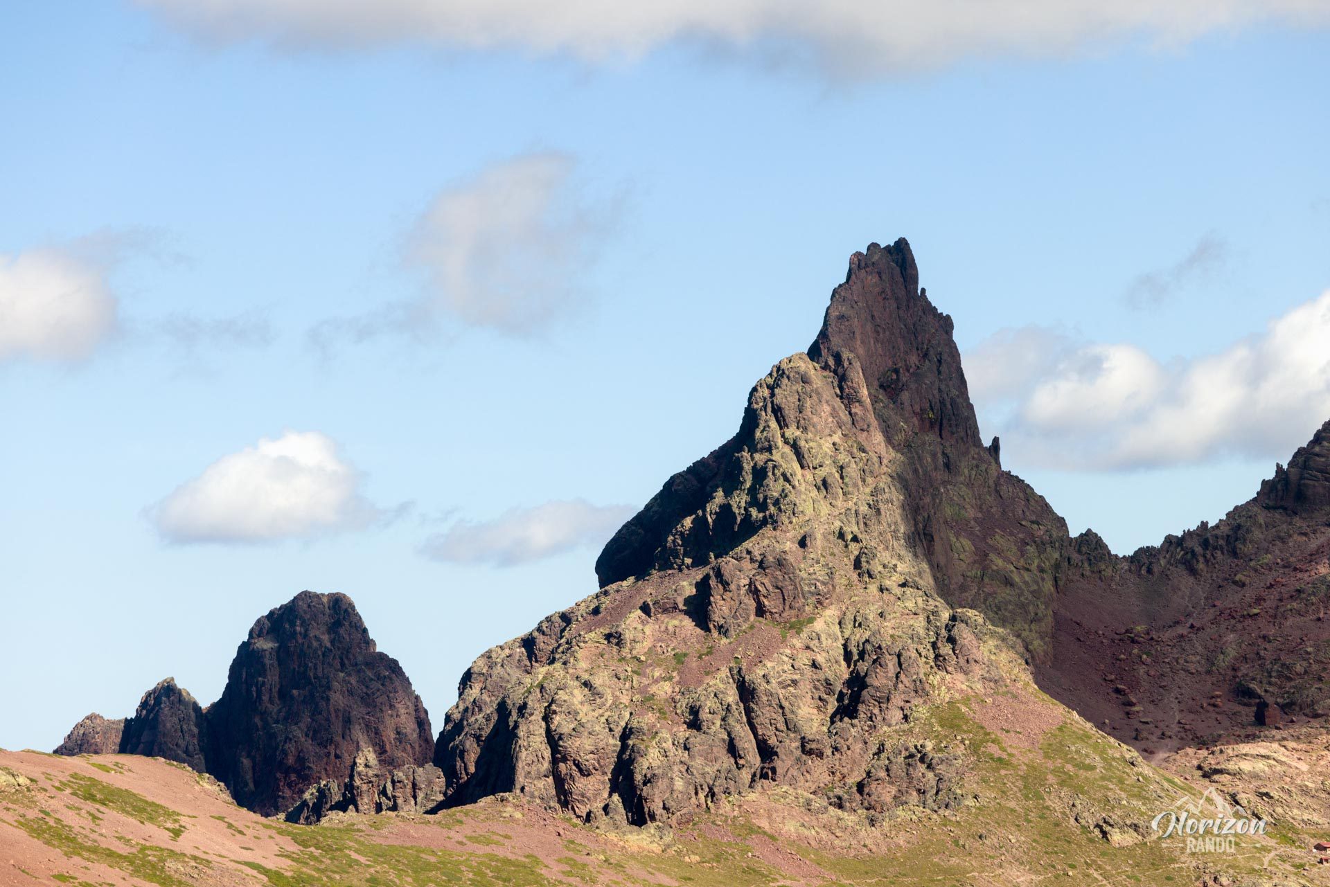
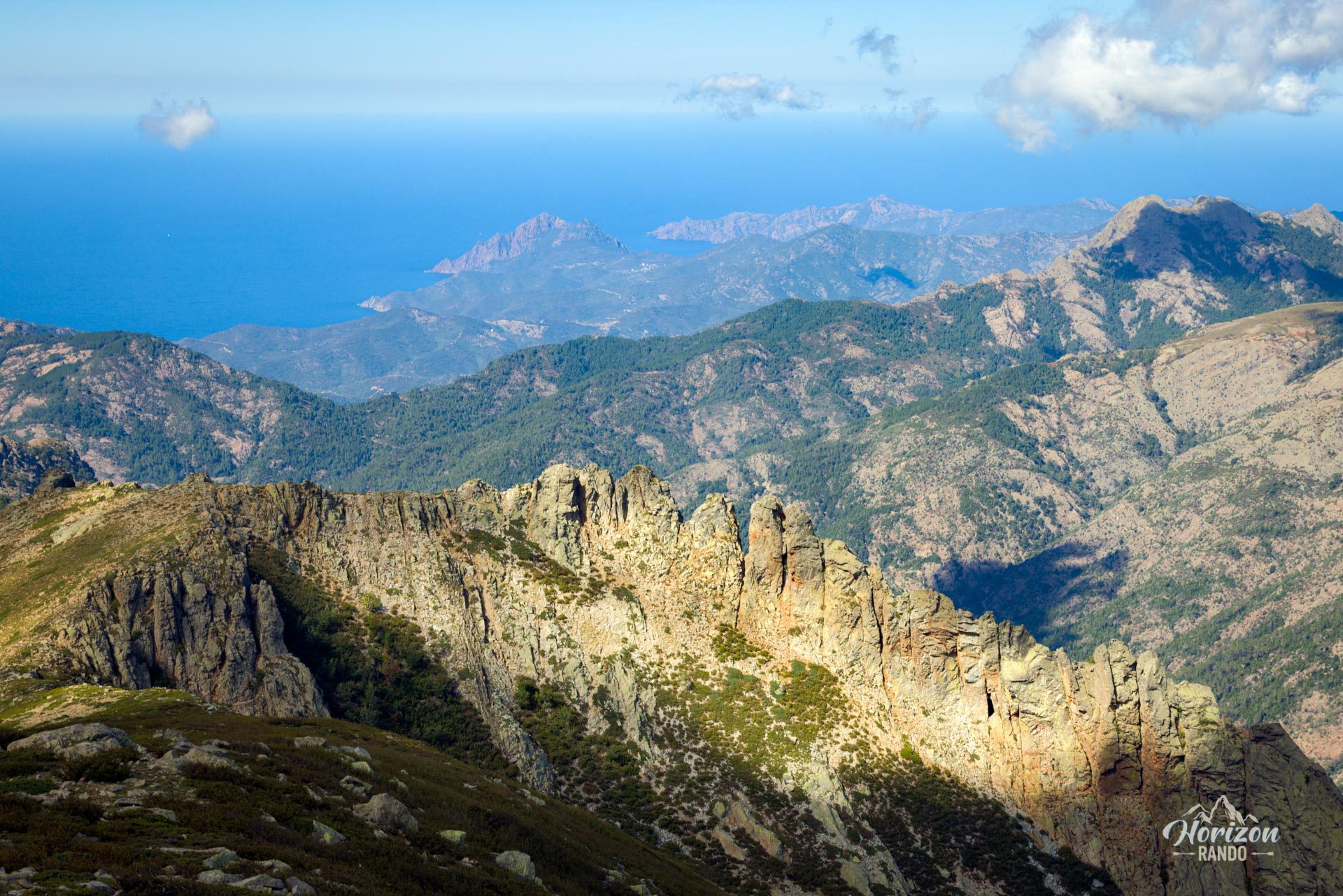
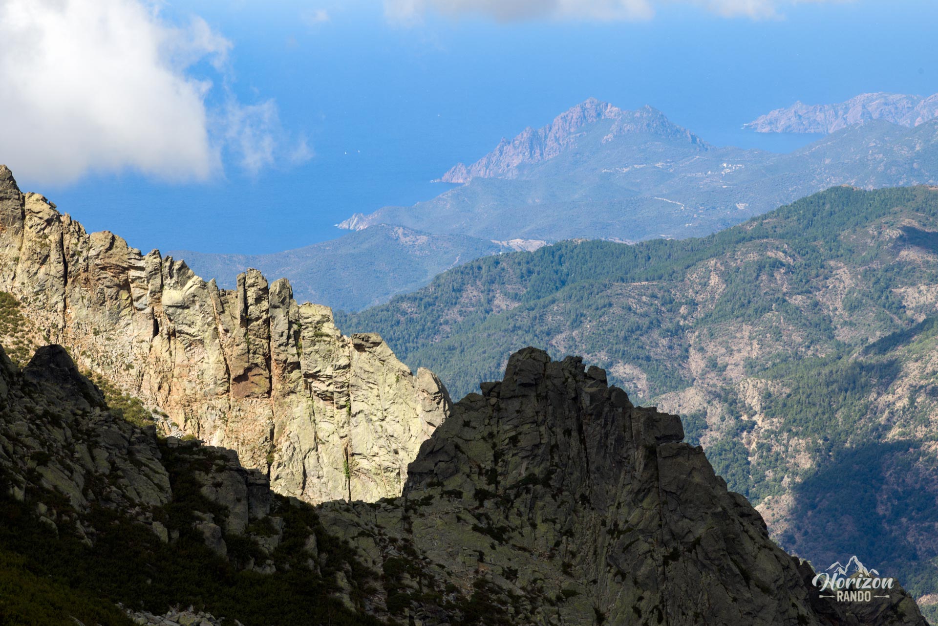
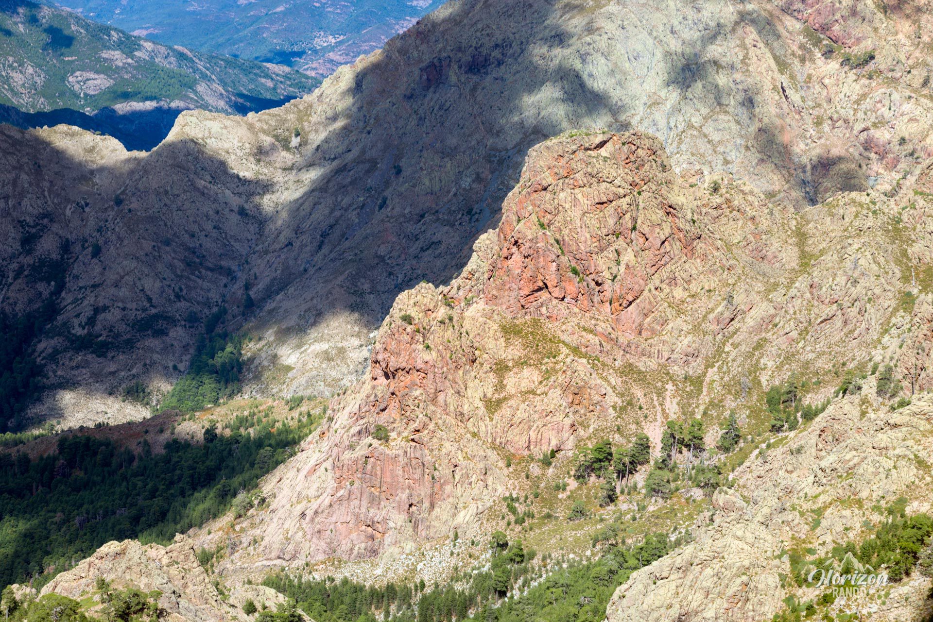
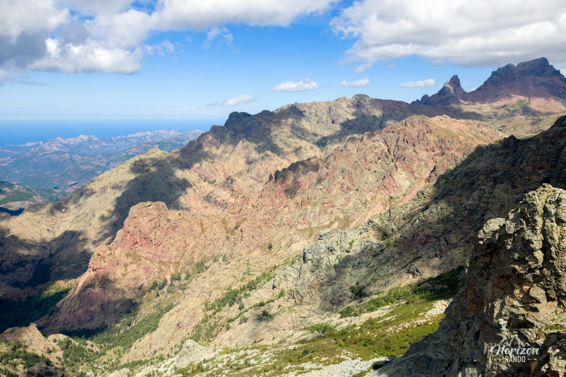
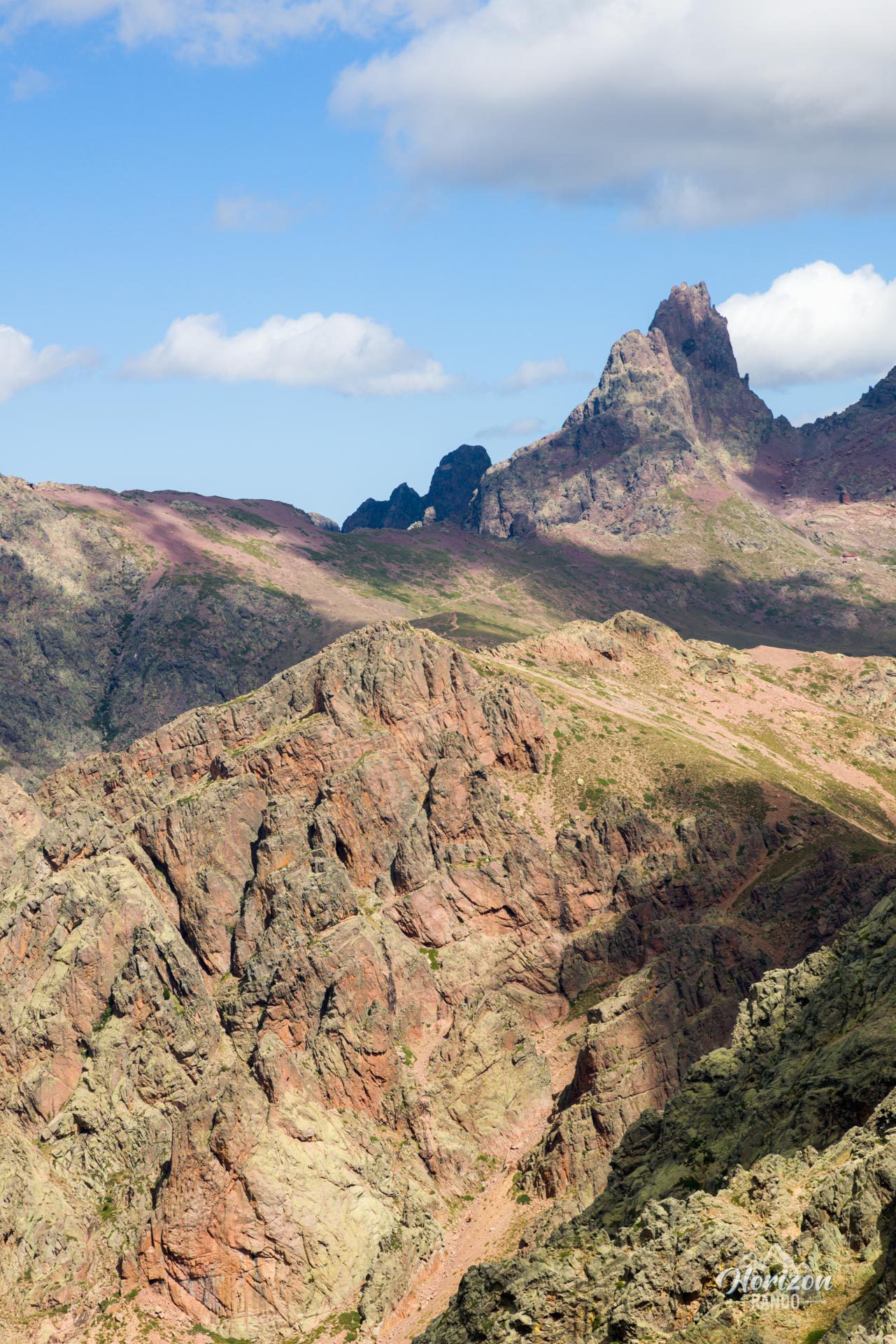
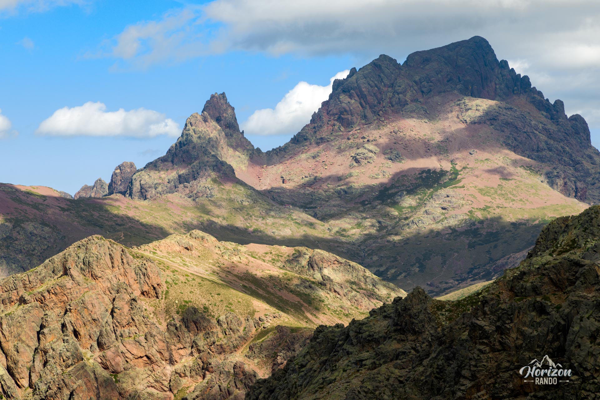
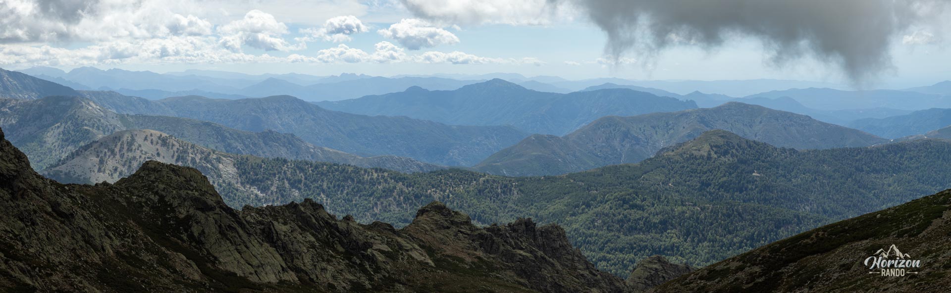
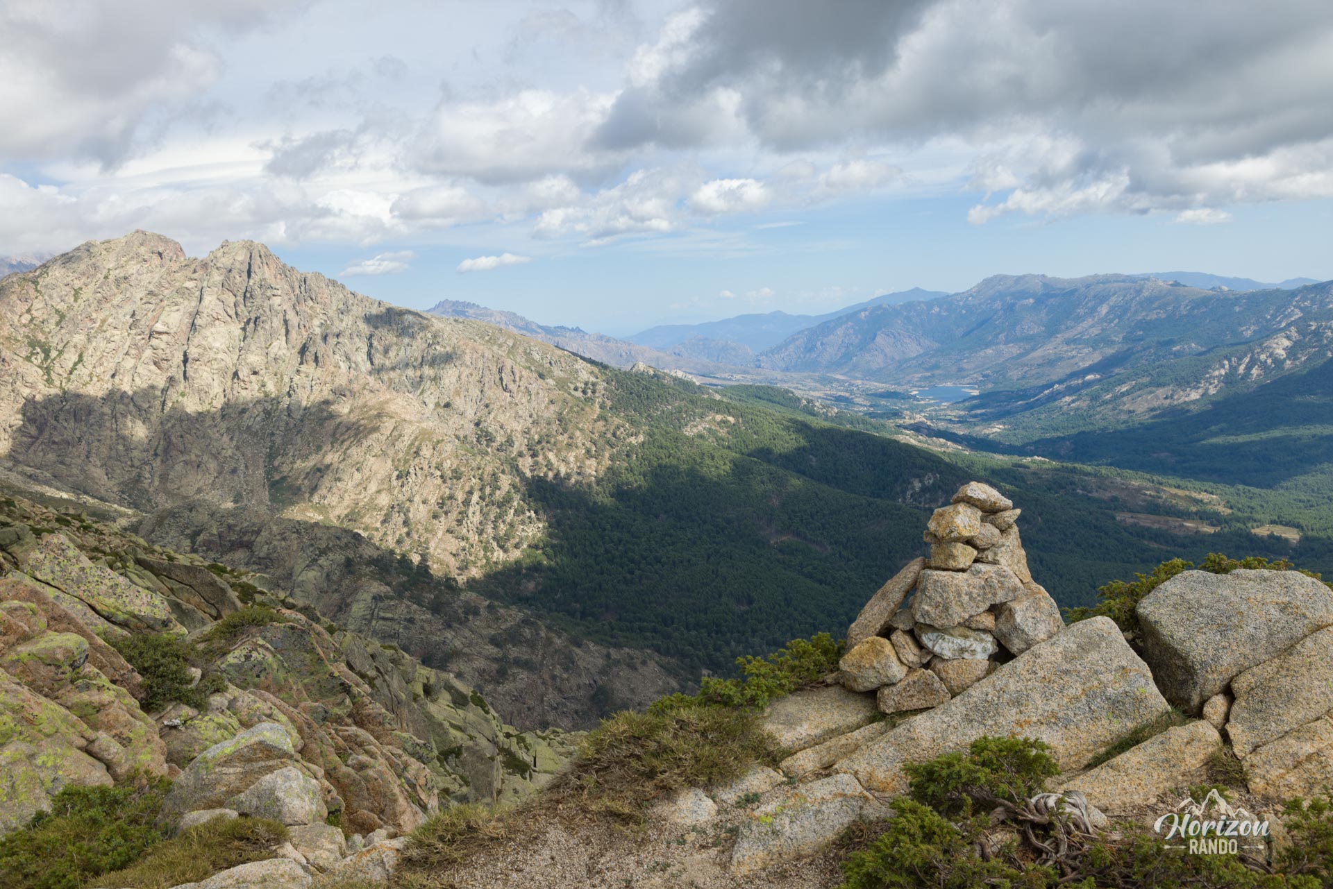
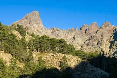
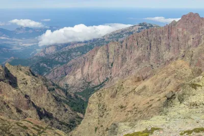
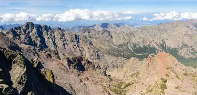
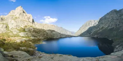
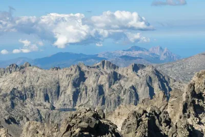
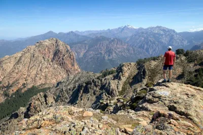
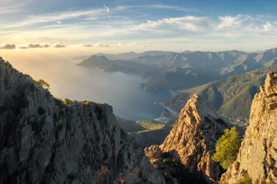
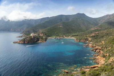
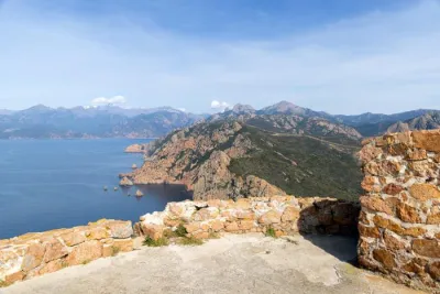
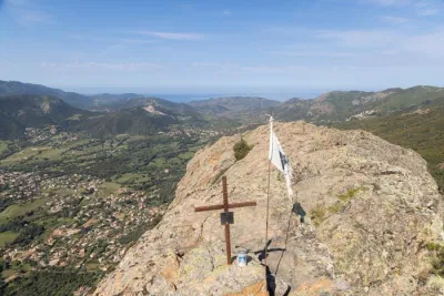
This hike starts at the Vergio Pass and takes you to Capu a Cuccula, whose 2,049-meter summit overlooks a tranquil, wild landscape. The ascent gradually reveals spectacular views: the majestic Paglia Orba and Capu Tafunato to the north and the Gulf of Porto, Capu d'Orto, and Capu di u Vitullu to the west. Though unmarked, this route is relatively accessible and deserves to be better known.
Map and elevation profile of the hike
Capu a Cuccula Hike
Difficulties of the hike
The route is relatively short and does not present any major technical difficulties. However, note that the slopes are steep on the way to the first pass, and the path to the summit ridge is, in places, overgrown with vegetation.
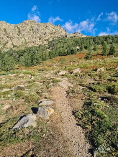
As the trail is unmarked, pay attention to the cairns that mark the route. The ascent is entirely exposed to the sun with no water sources, so bring plenty of water and good sun protection.
What you'll love
- An absolutely exceptional 360° panorama: From the summit, you can admire the legendary Paglia Orba and Capu Tafunato, as well as the colorful cliffs typical of the region and the sparkling gulfs of Porto and Girolata below.
- Very few visitors: You'll feel like you have the mountain all to yourself, a rare luxury in Corsica.
Practical information
Departure
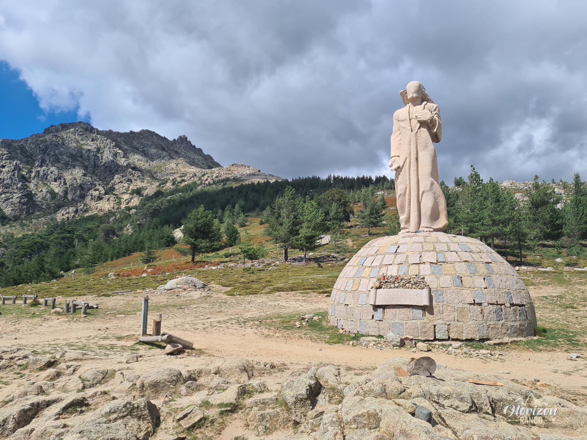
There is a large parking lot at the Vergio Pass (1,477 m), the highest point on the road in Corsica. It is easily identifiable by the imposing statue of Christ.
Navigation
Due to the lack of markings, an IGN map and/or a GPS are strongly recommended. Download the GPX track before you leave.
Photos
See all 20 photos →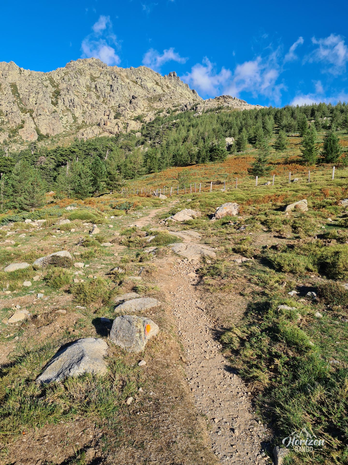
More hikes to do in Corsica
Nearby hikes






Printed from www.horizonrando.fr/en/corsica/capu-a-cuccula/