






Capu d'Orto Hike
Key facts about the hike
- Difficulty
- Moderate Hikes are rated from very easy to very hard: my difficulty scale
- Duration
- 5h Estimated time, short breaks included (photos, water, snacks), picnic not included: how it is calculated
- Distance
- 11km
- out and back
- Elevation gain
- 860m
- Type of route
- Out and back
- Maximum altitude
- 1,294 m
- Vertiginous Five levels, depending on how exposed the route is: the levels in detail
- Slightly
- Marked
- Partially
- Popularity
- Moderate
- Region
- North-West
- Start point
- 42.23979, 8.65451
- Activity
- Hiking
Hike overview
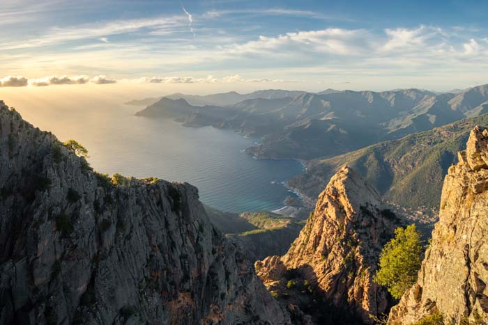
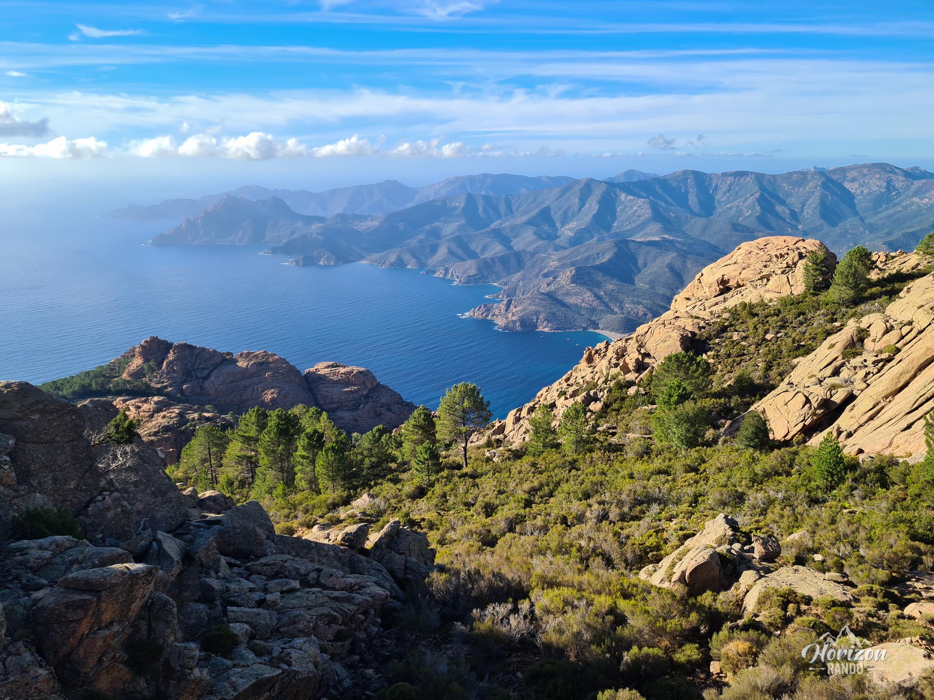
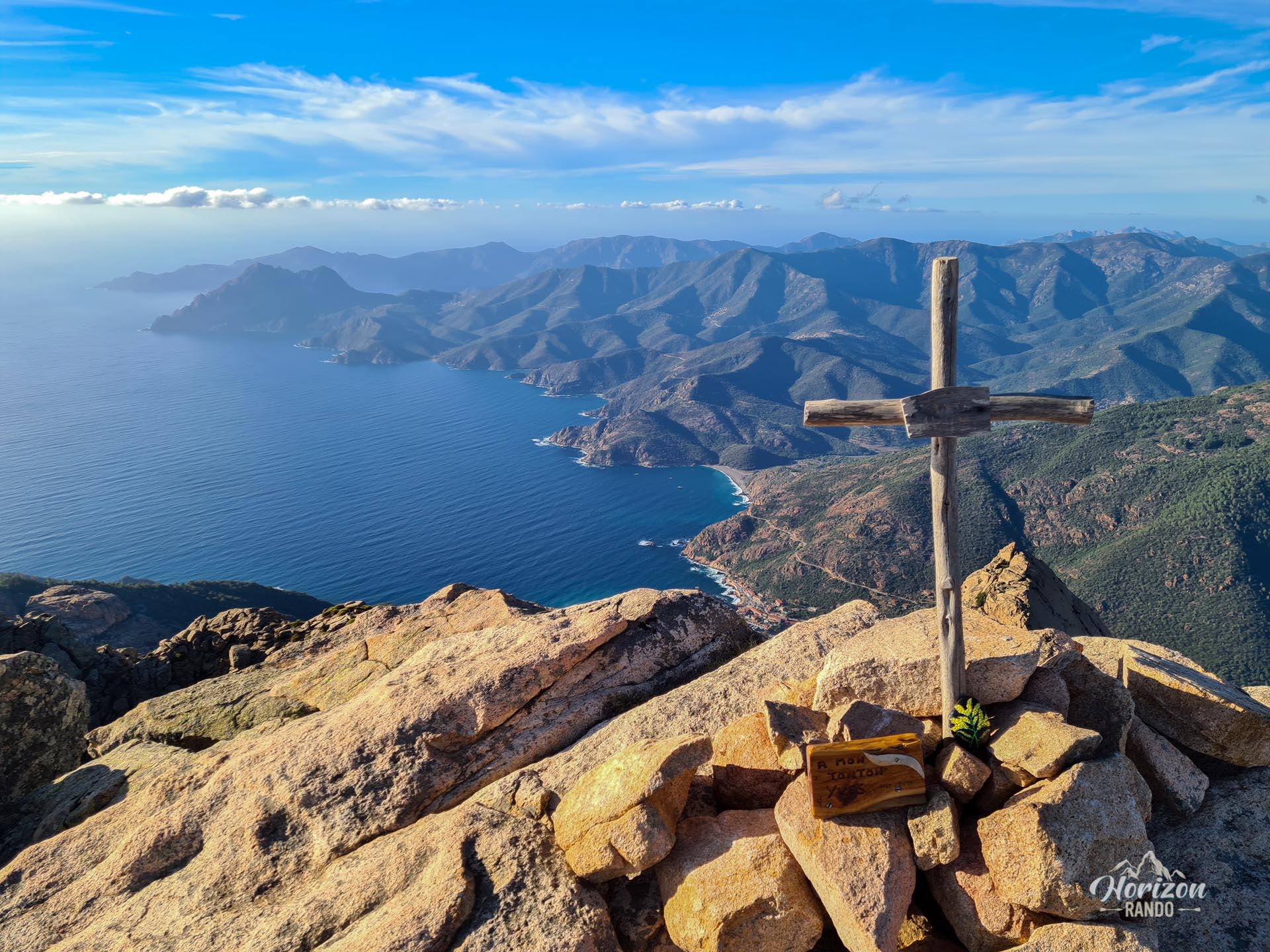
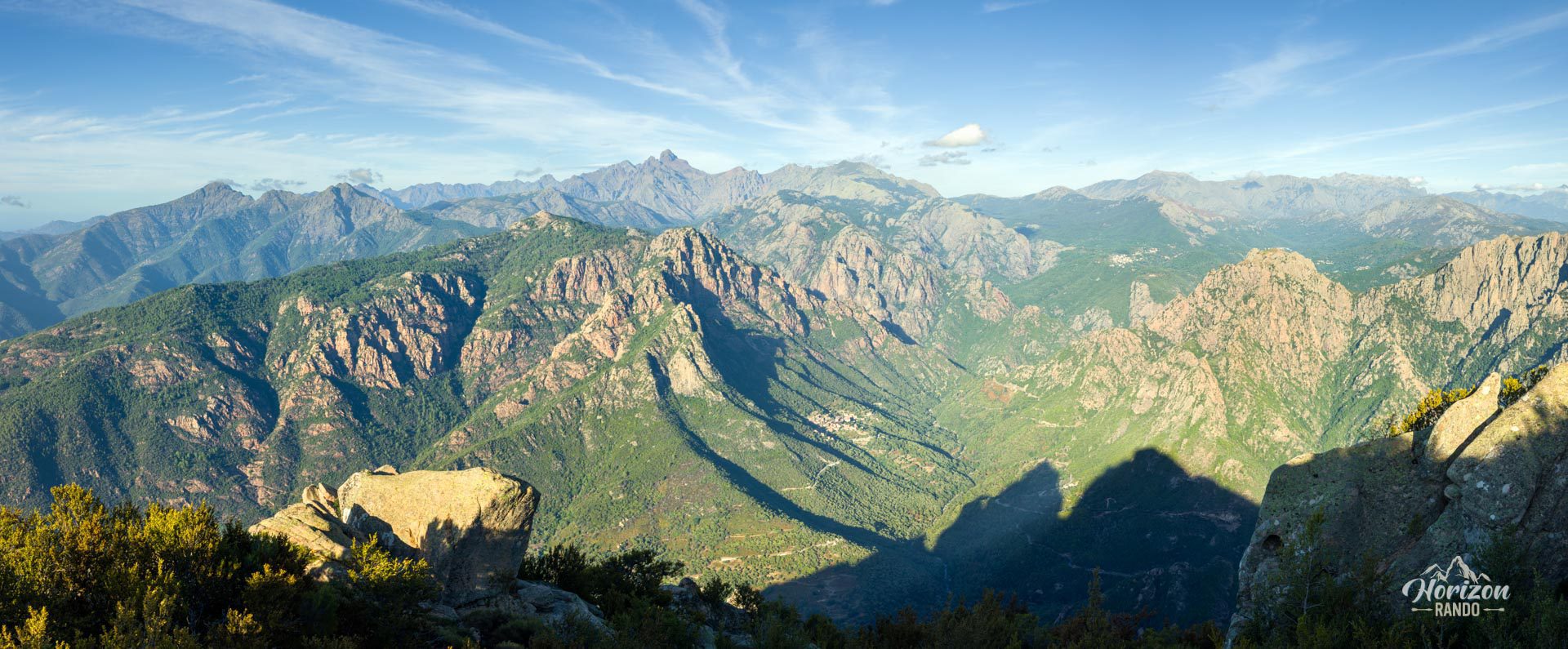
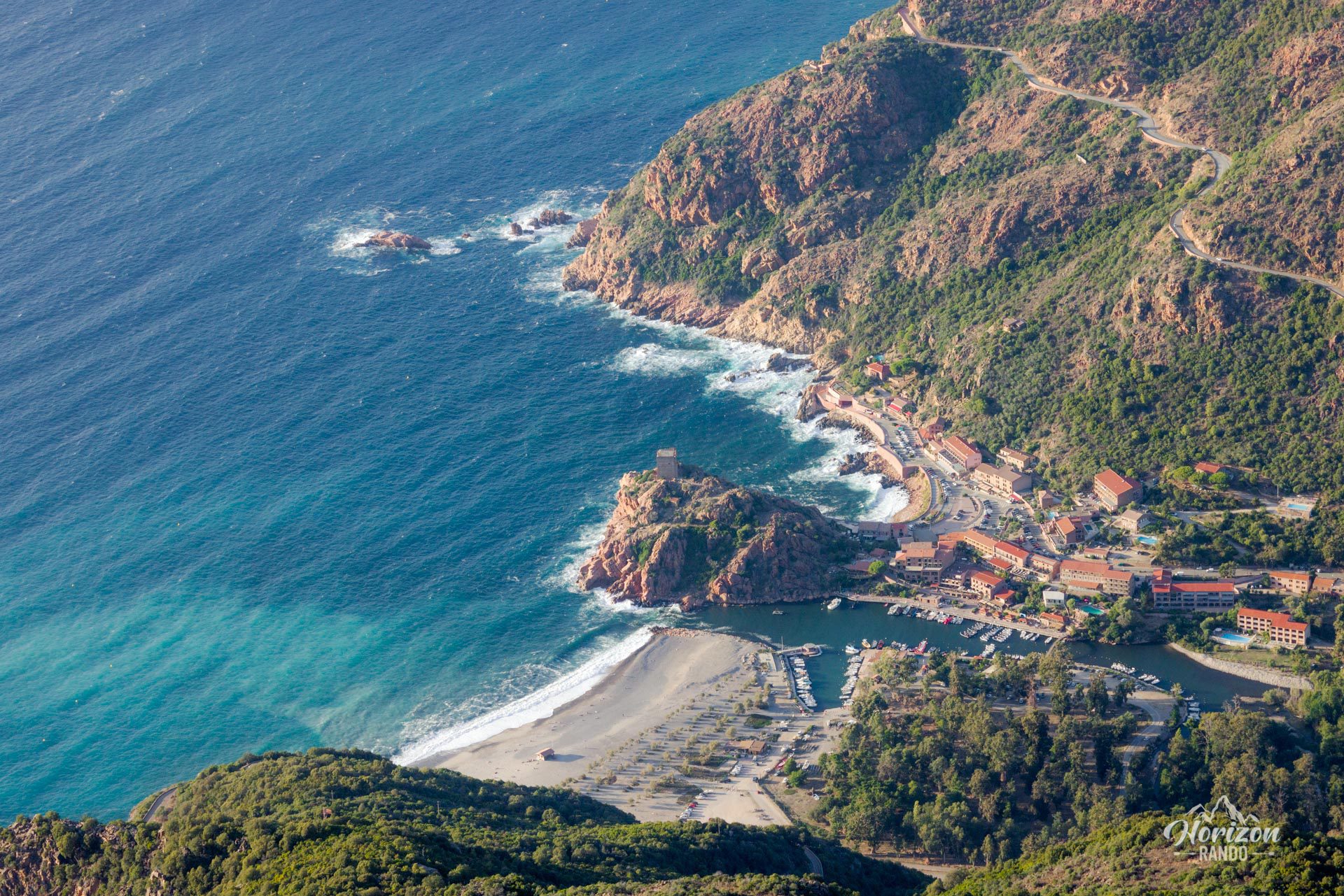
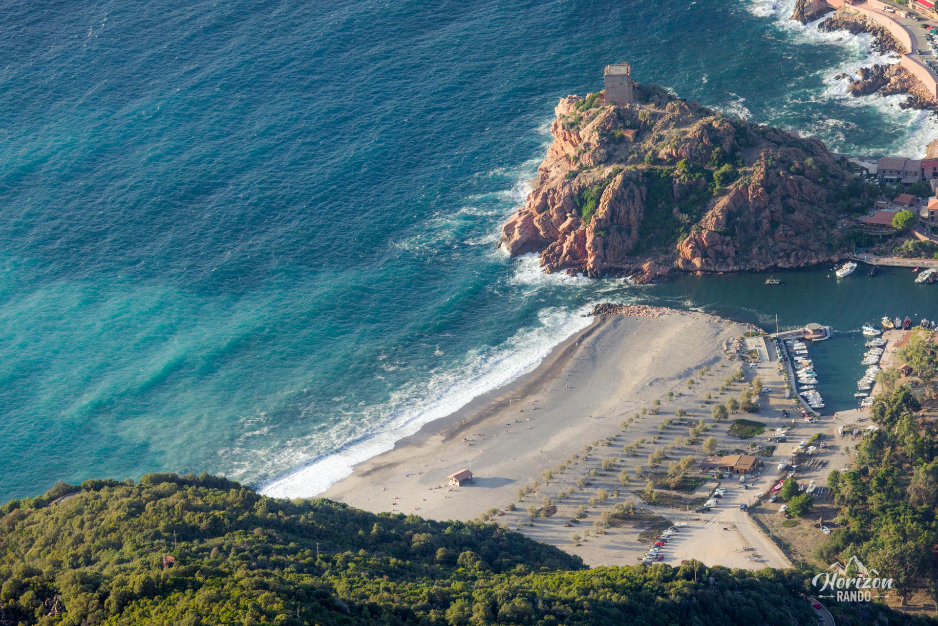
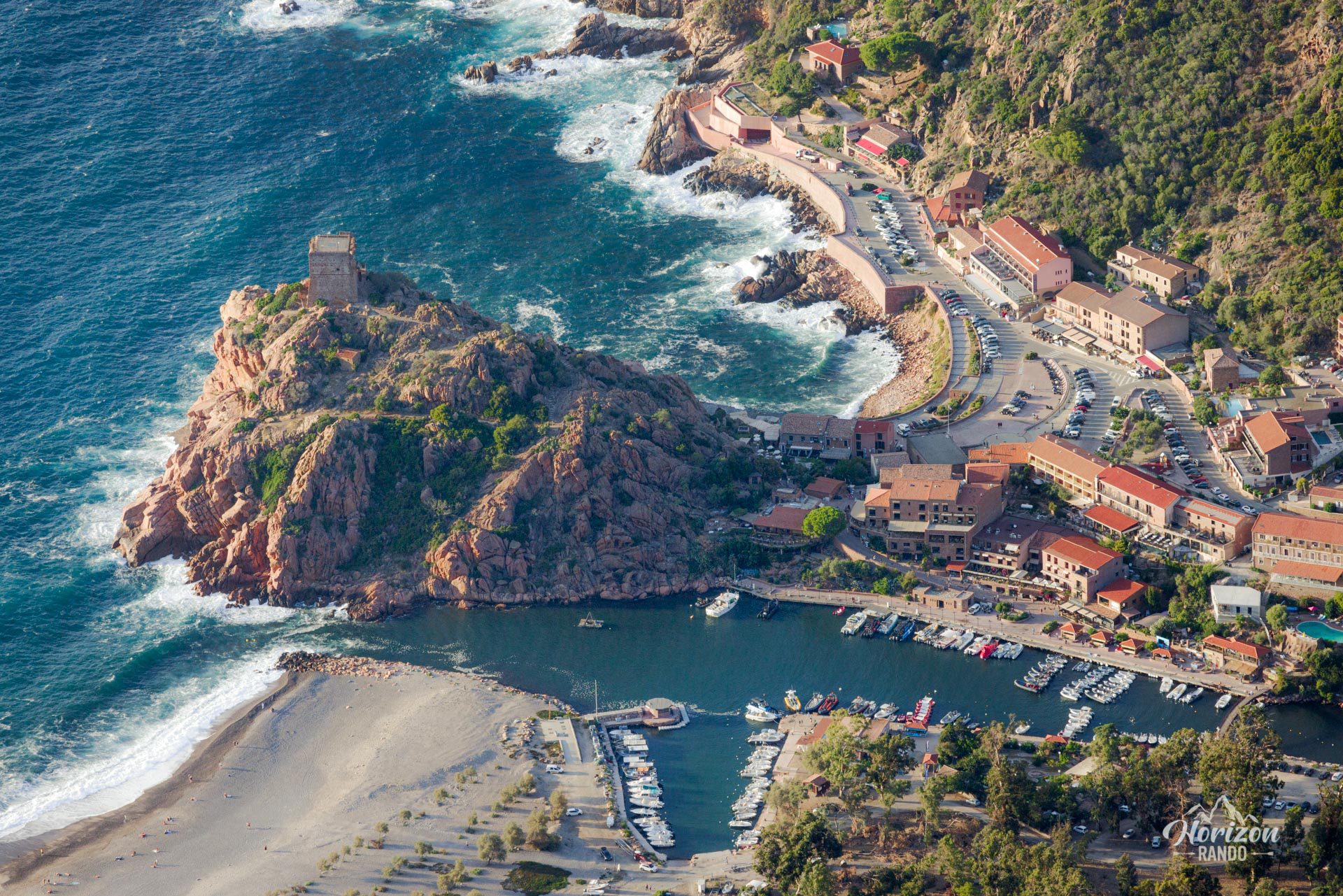
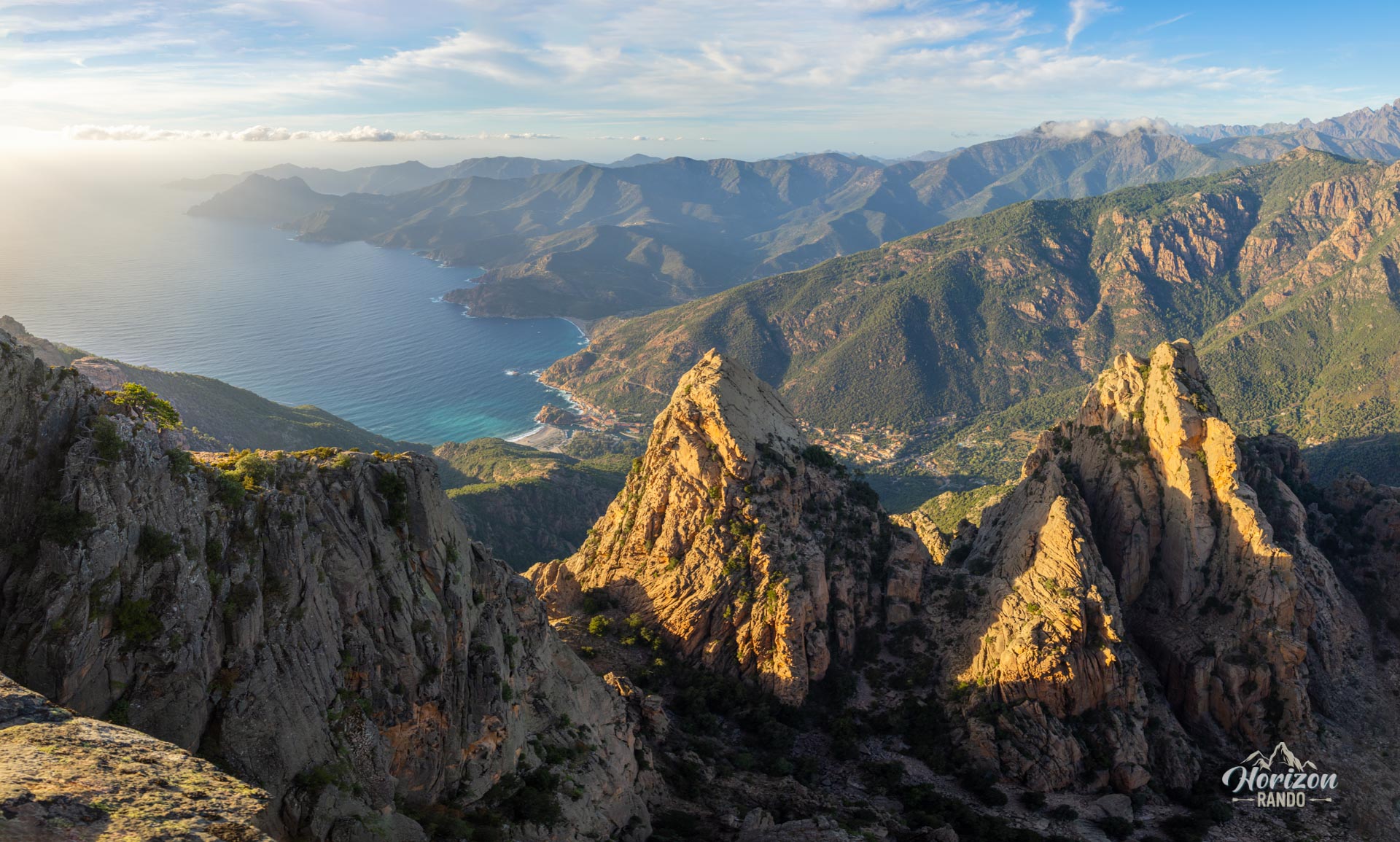
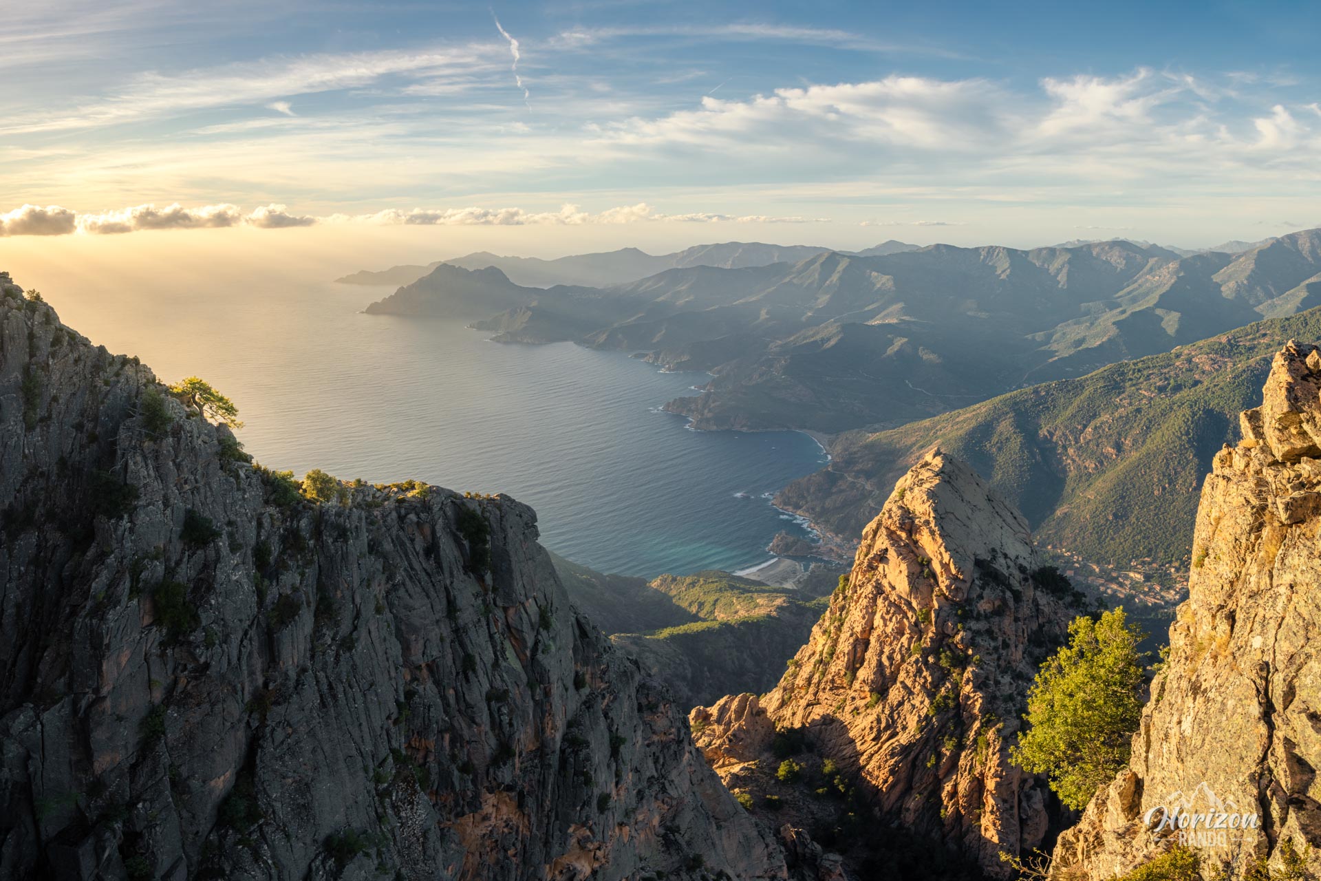
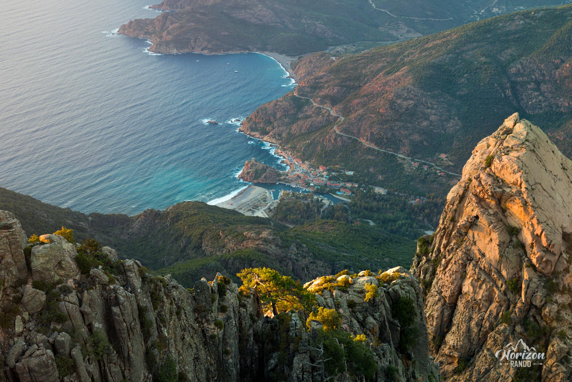
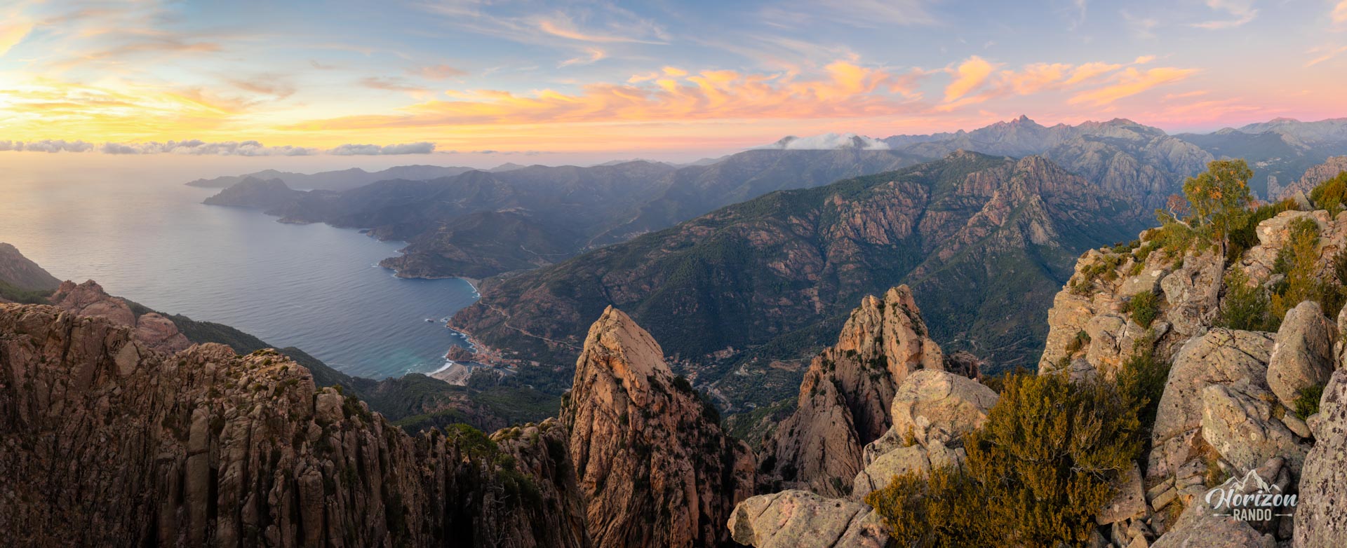
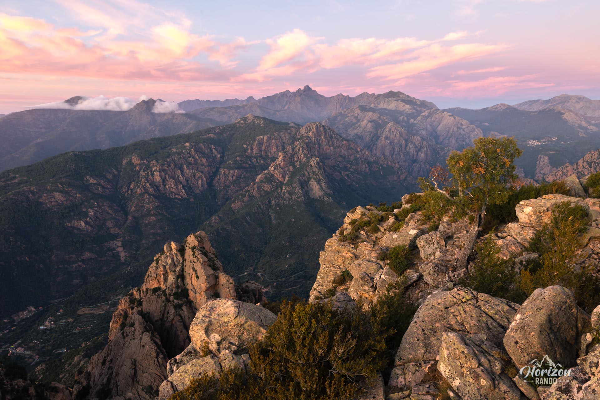
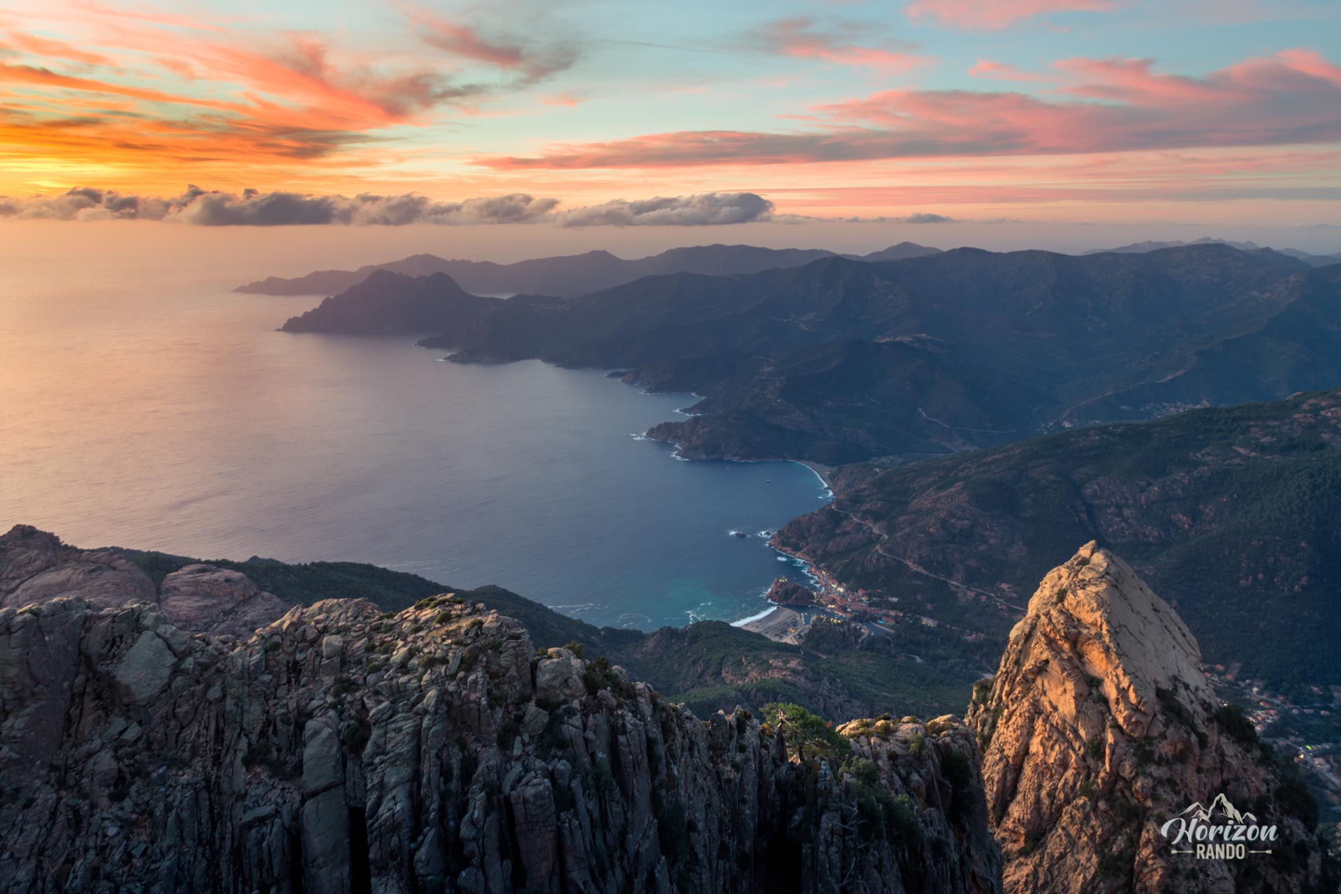
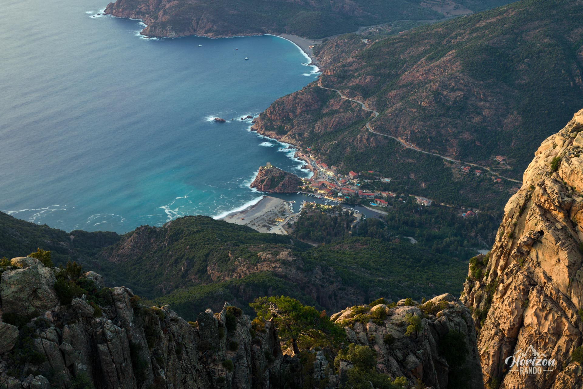
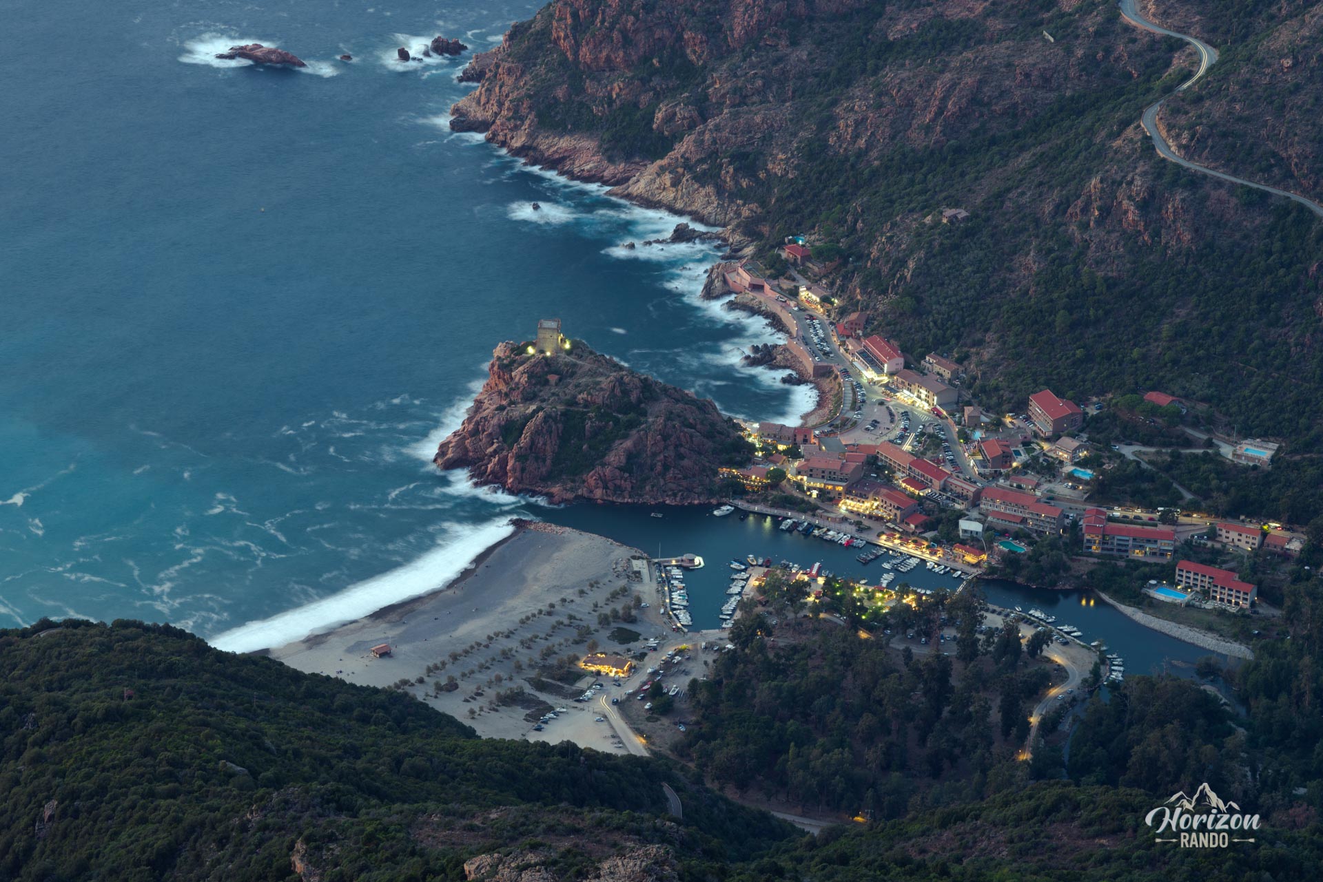
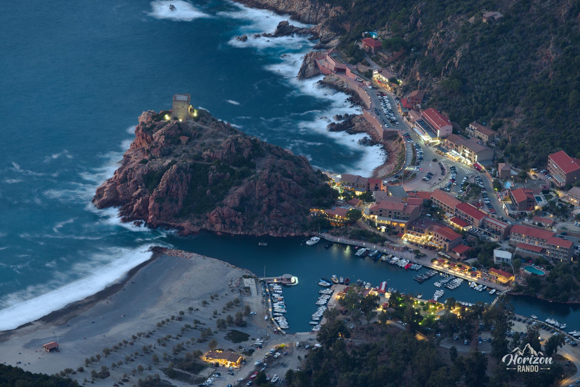
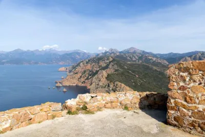
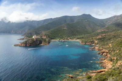
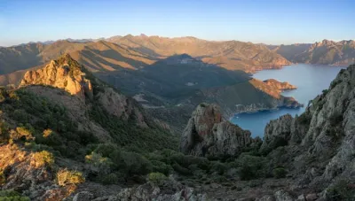
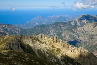
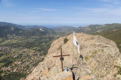
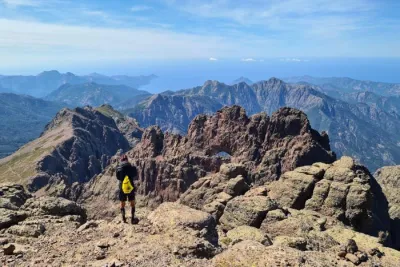
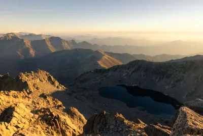
The Capu d'Orto hike leads to one of the most beautiful viewpoints in Corsica, overlooking the Gulf of Porto and the famous Calanques de Piana from its altitude of 1,294 meters. This red granite peak, a veritable "mountain in the sea," offers spectacular views of the calanques, the gulf, and the magnificent rocky peaks of E Tre Signore rising in the foreground.
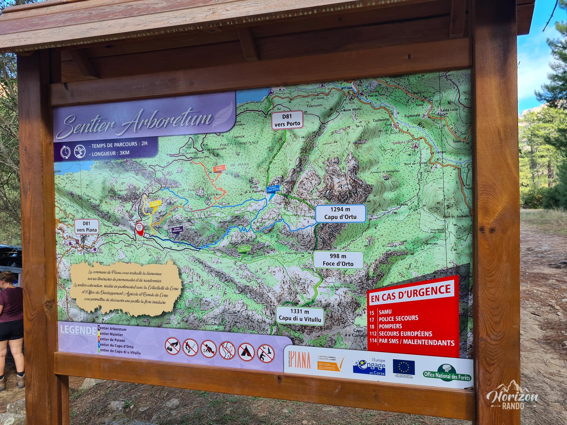
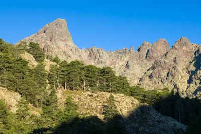
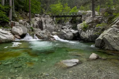
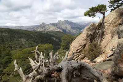
The trail first winds through the Piana pine forest, then turns onto rocky and mineral terrain where the panorama gradually reveals itself until reaching the summit.
Map and elevation profile of the hike
Capu d'Orto Hike
Difficulties of the hike
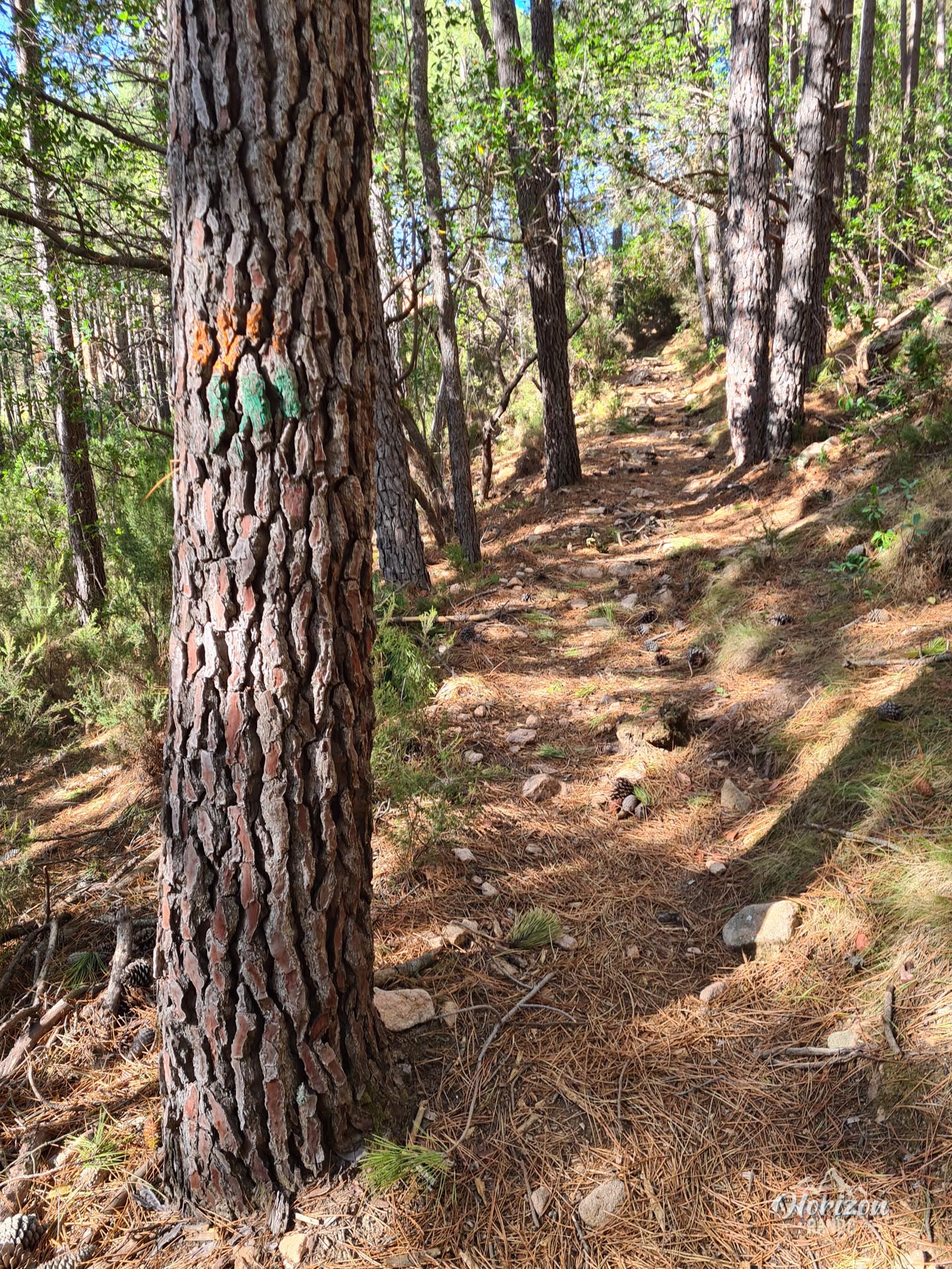
The ascent is divided into two distinct parts: the first half takes place in the forest on a well-marked (orange and green) trail with a steady slope and no particular difficulty.
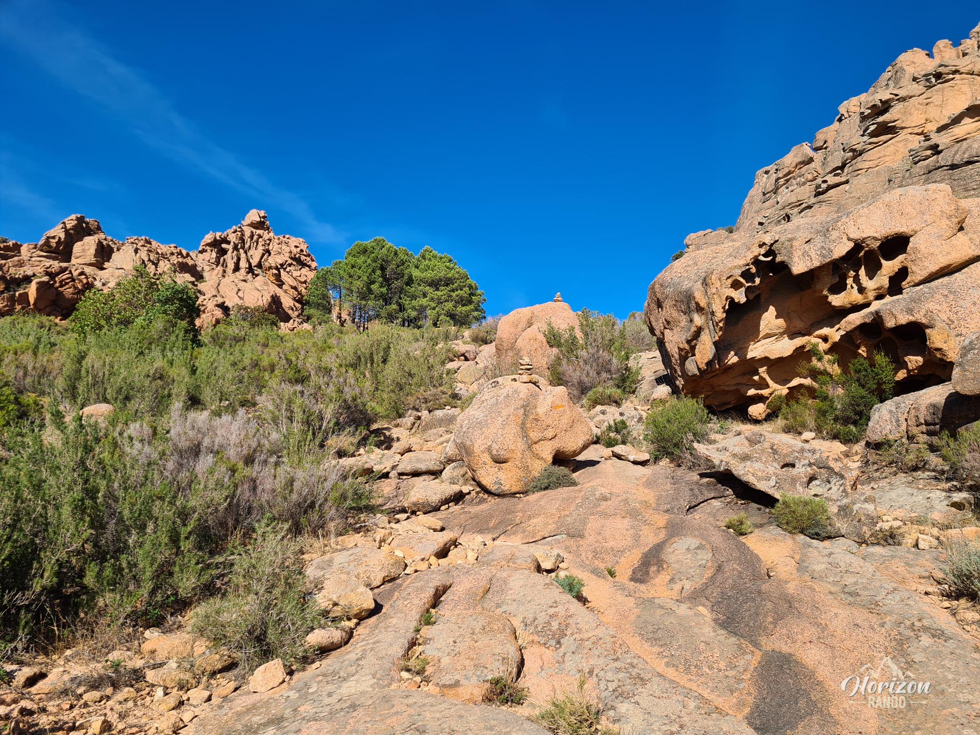
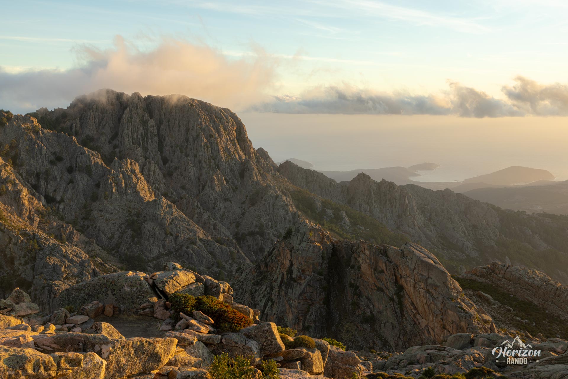
Once out of the forest, the trail changes dramatically. The climb becomes steeper and the terrain becomes rocky and technical. The markings gradually disappear and are replaced by cairns that must be followed carefully, especially during the last hour of the ascent. Several passages require you to use your hands to climb over boulders, but they are not particularly vertiginous.
What you'll love
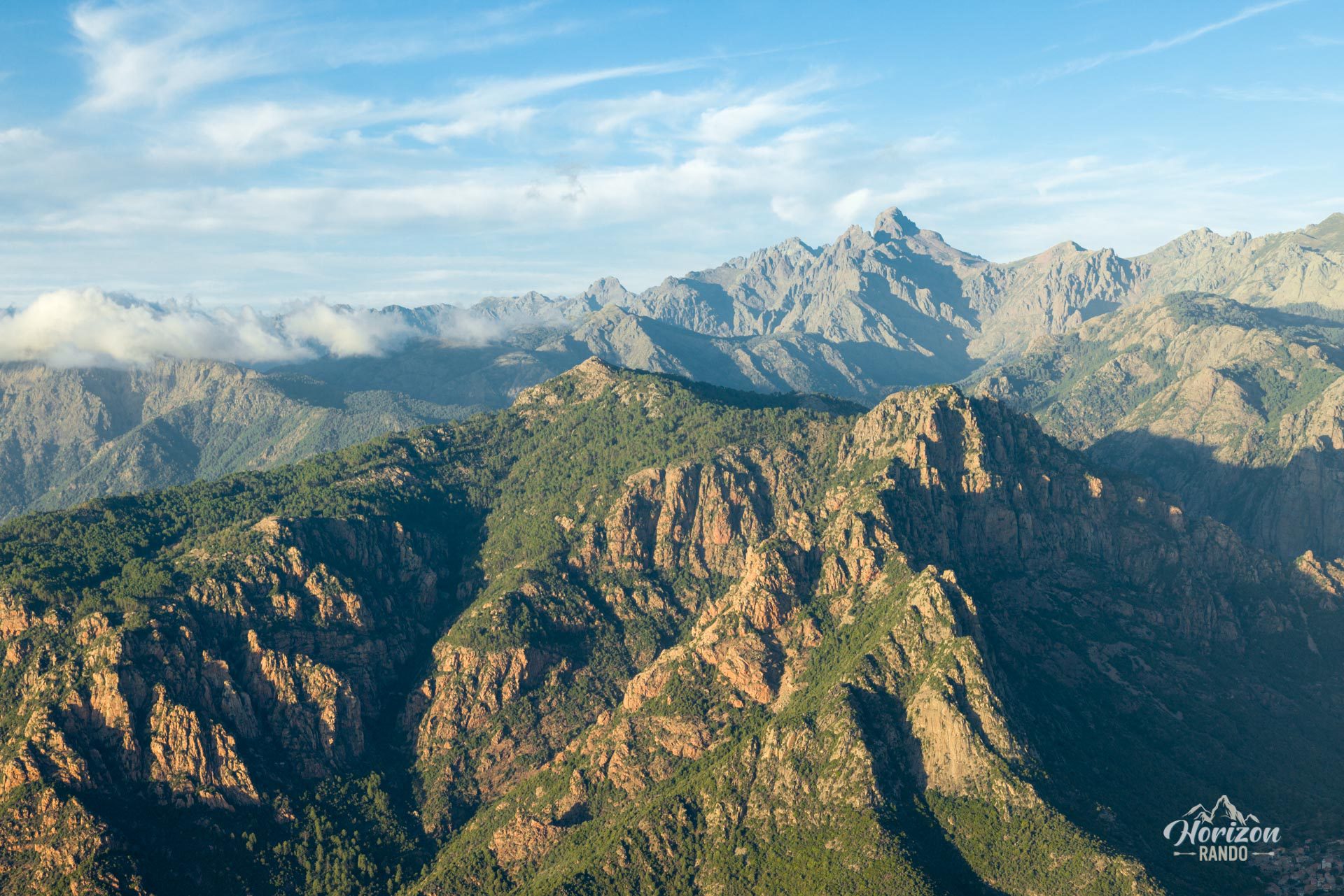
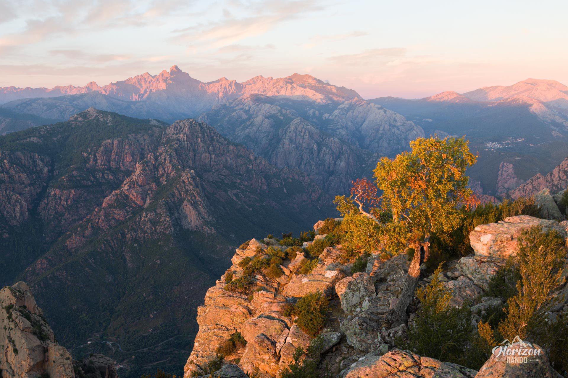
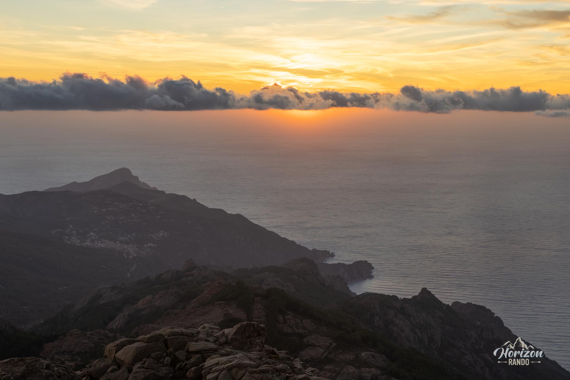
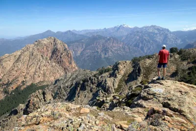
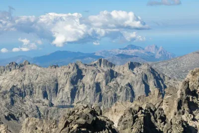
- An exceptional panorama from the summit: a bird's-eye view of the Gulf of Porto, Capo Rosso, Capu di u Vitullu, and to the east the iconic peaks of the Cinto massif including Paglia Orba.
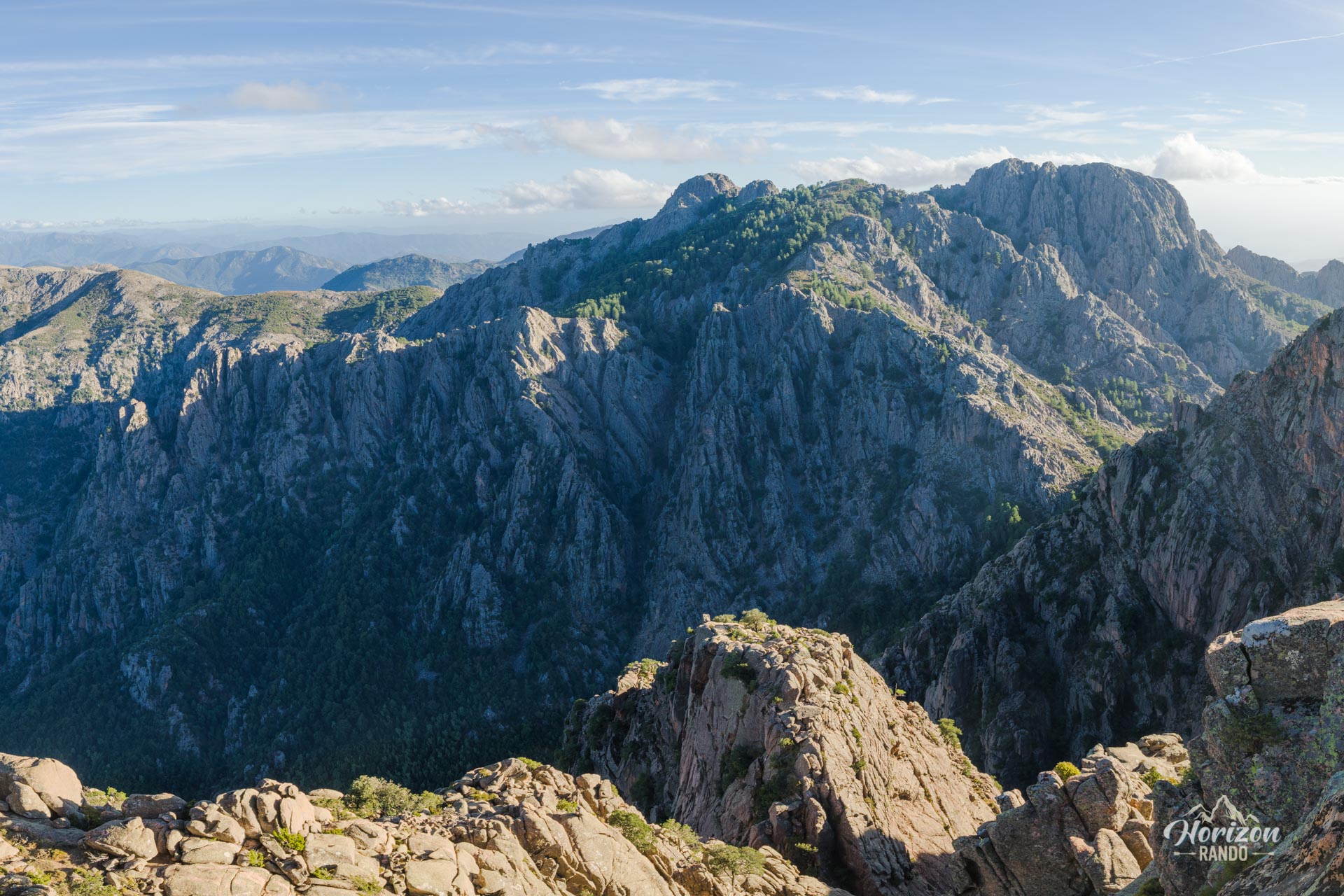
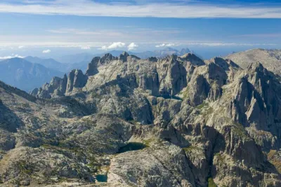
- The magnificent peaks of E Tre Signore (the Three Ladies) rising majestically in the foreground.
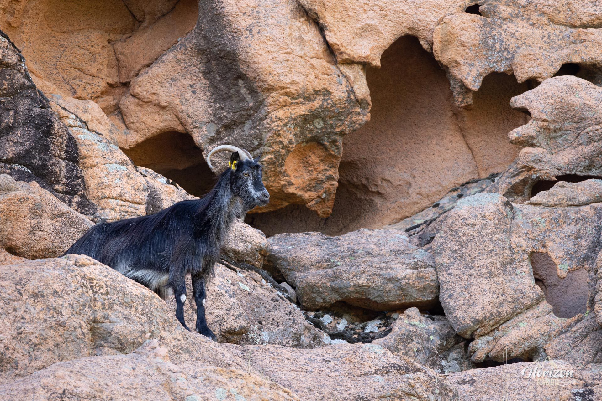
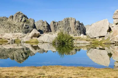
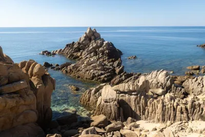
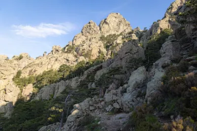
- The spectacular red granite formations sculpted by erosion.
Photos
See all 26 photos →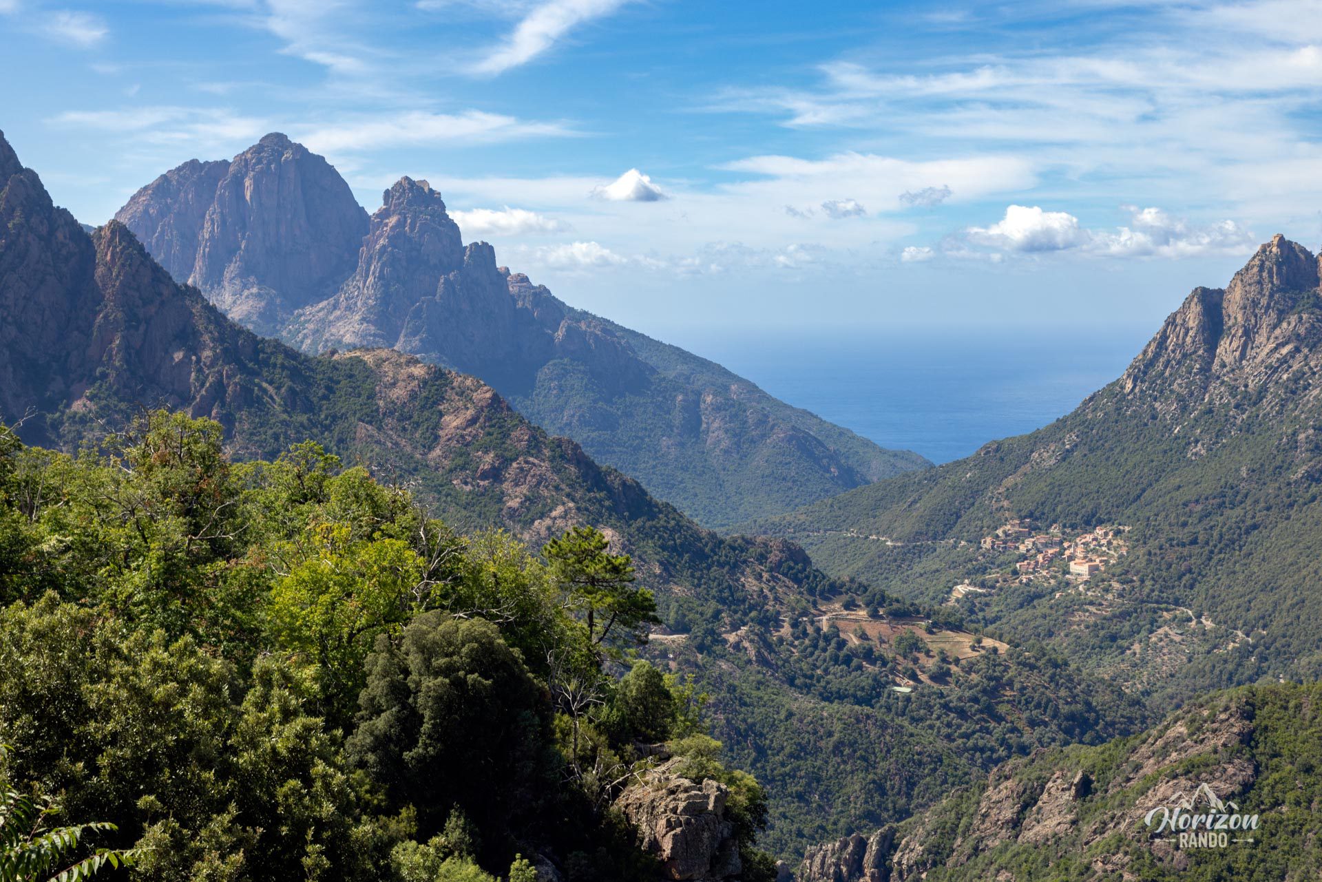
More hikes to do in Corsica
Nearby hikes






Printed from www.horizonrando.fr/en/corsica/capu-dorto/