





Monte Incudine Hike
Key facts about the hike
- Difficulty
- Hard Hikes are rated from very easy to very hard: my difficulty scale
- Duration
- 8h Estimated time, short breaks included (photos, water, snacks), picnic not included: how it is calculated
- Distance
- 20.1km
- Elevation gain
- 870m
- Type of route
- Loop
- Maximum altitude
- 2,134 m
- Vertiginous Five levels, depending on how exposed the route is: the levels in detail
- Slightly
- Marked
- Partially
- Popularity
- Low
- Region
- South-East
- Start point
- 41.87844, 9.14816
- Activity
- Hiking
Hike overview
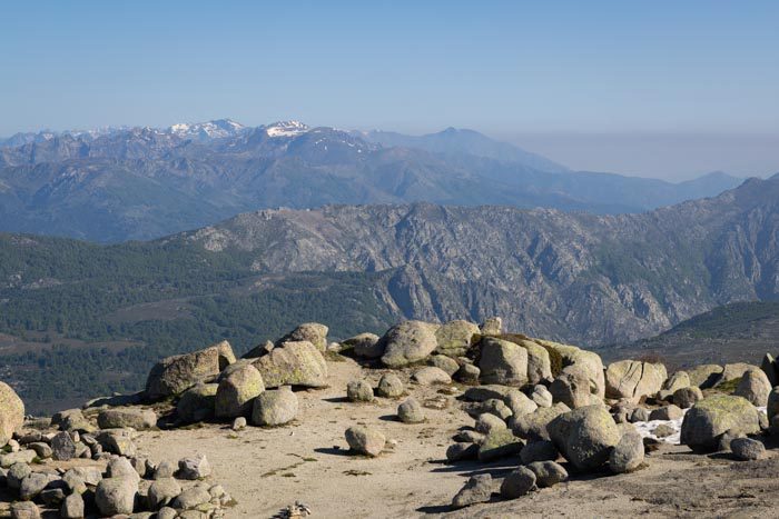
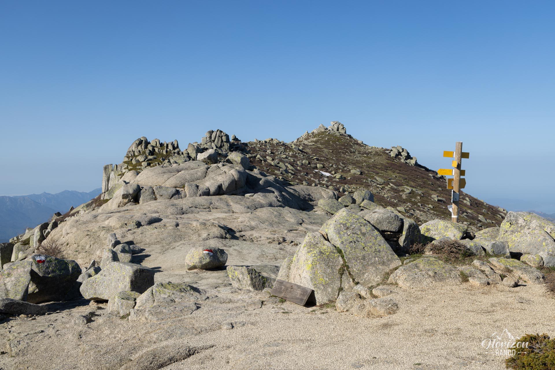
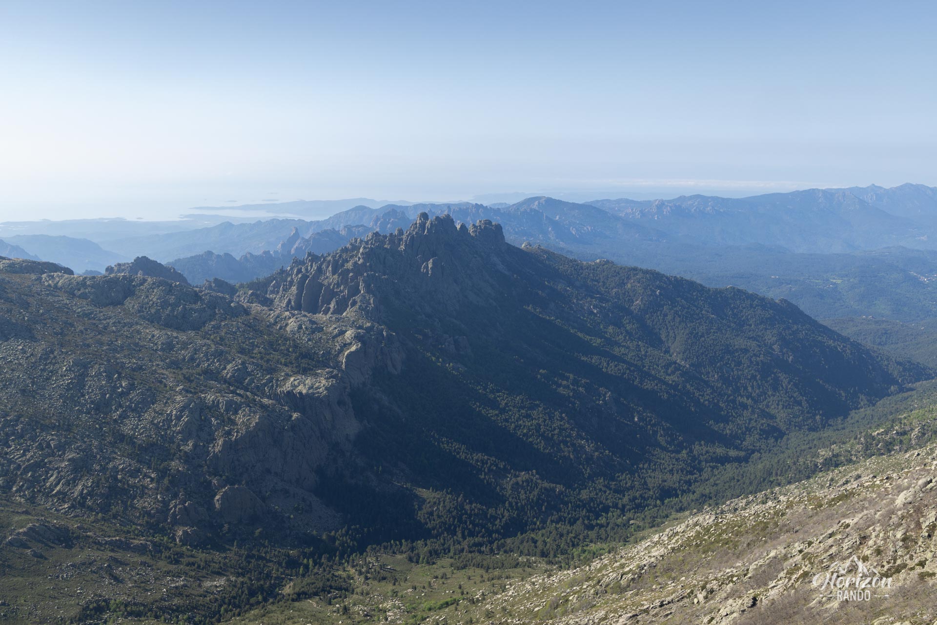
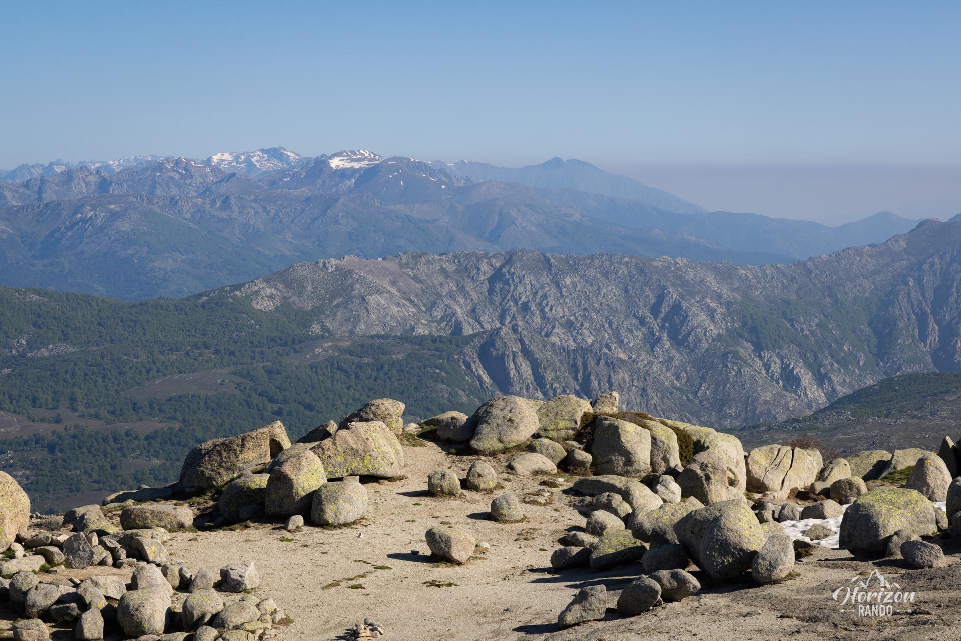
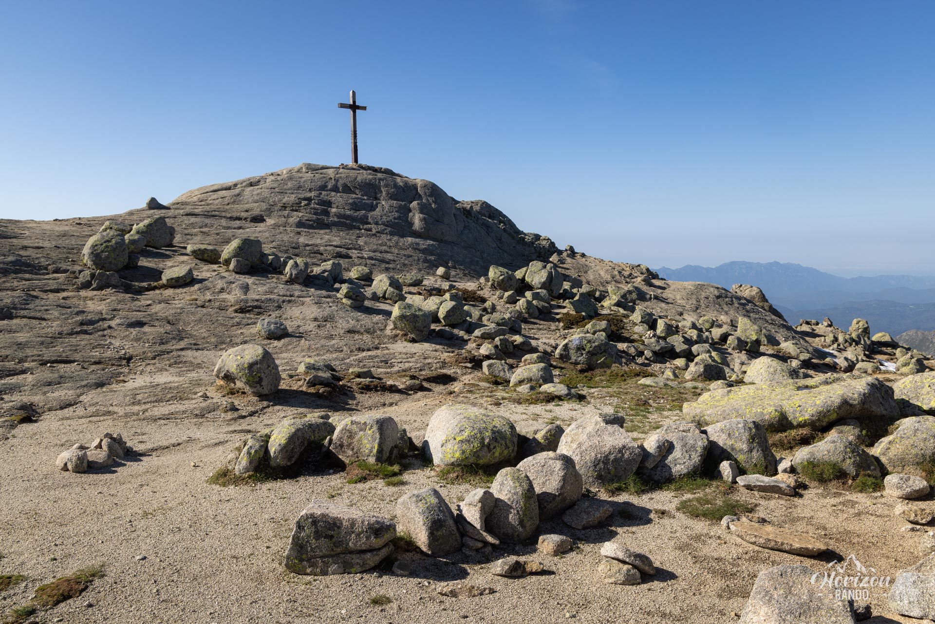
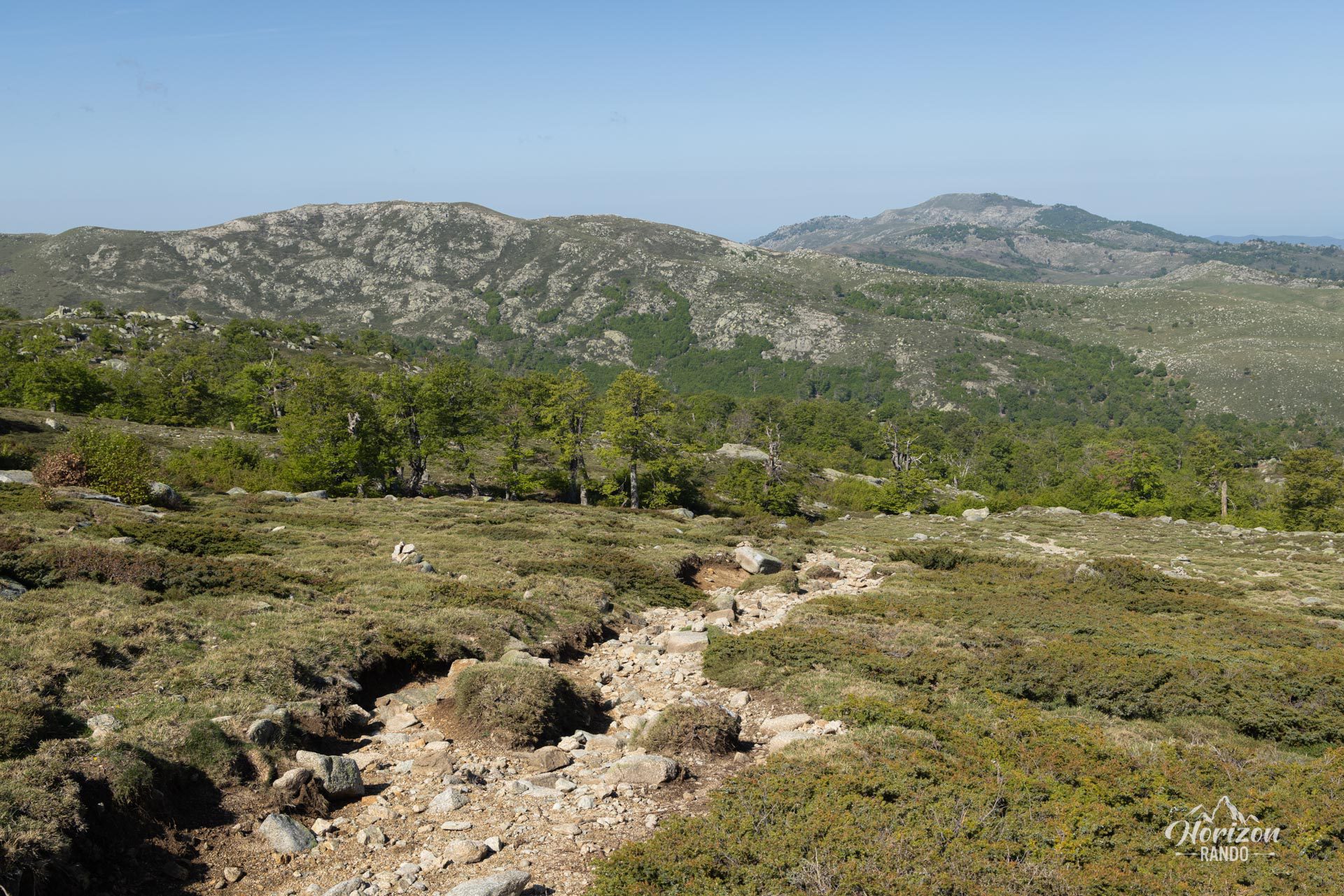
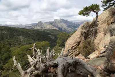
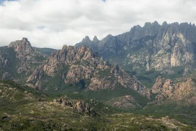
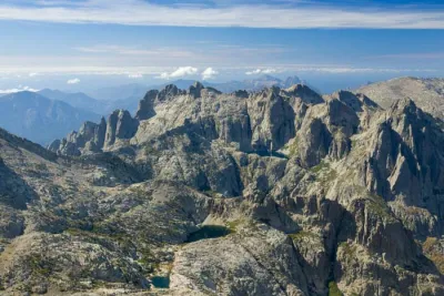
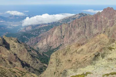
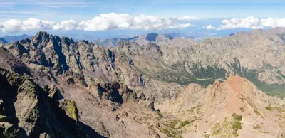
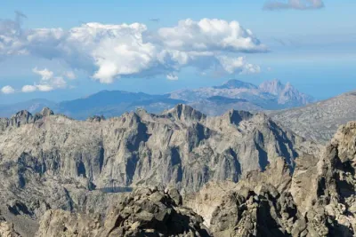
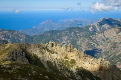
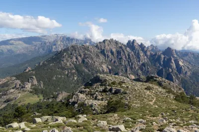
The Monte Incudine hike reaches a summit at an elevation of 2,134 meters, the last major high mountain stronghold before the Corsican mountain range gradually slopes down toward the south. This location provides an exceptional vantage point with clear views of the Bavella peaks, the Cuscione plateau, and other Corsican summits.
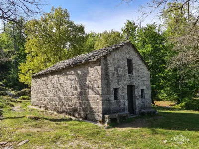
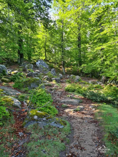
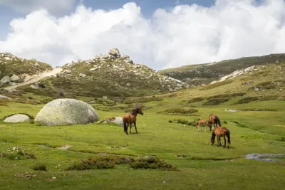
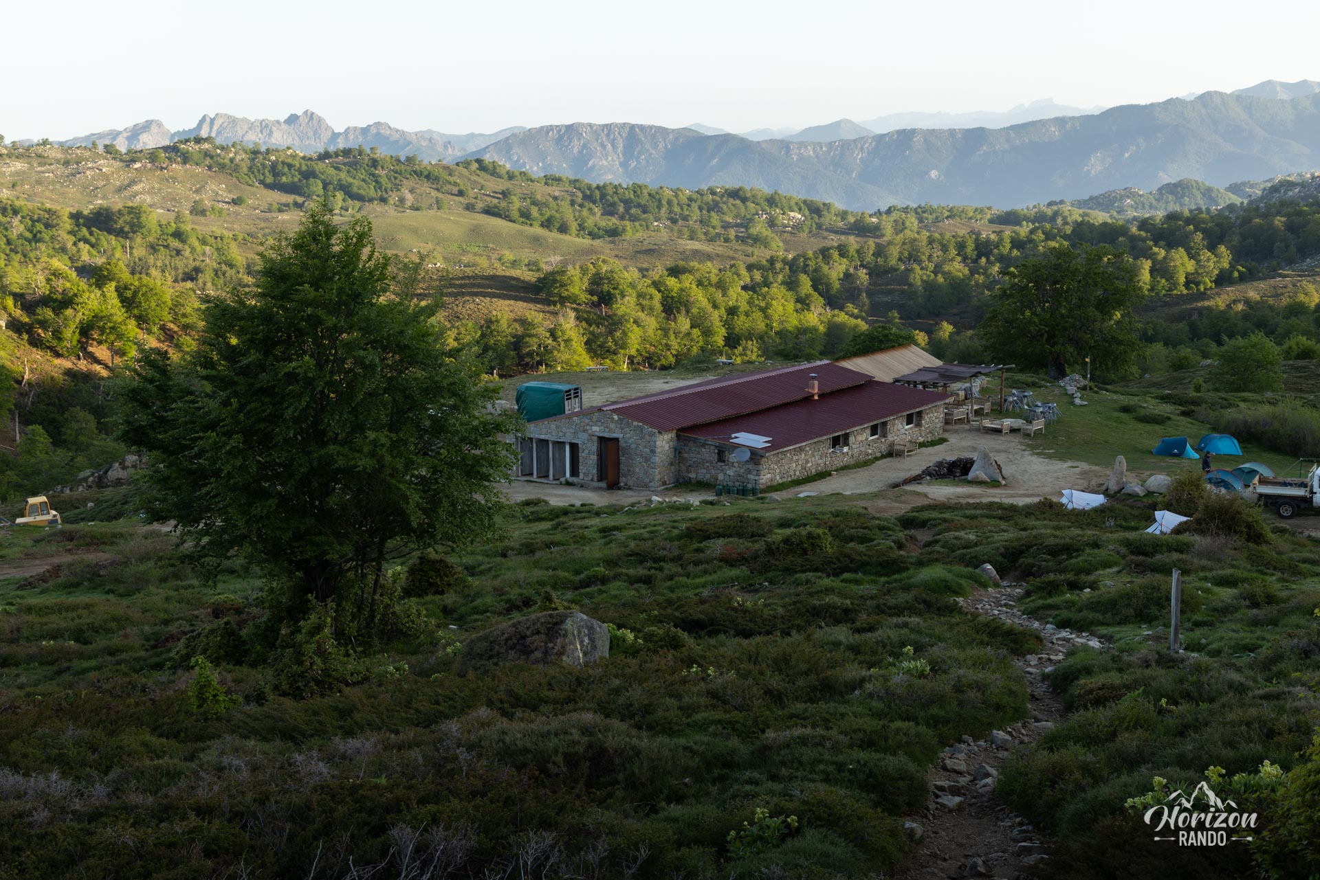
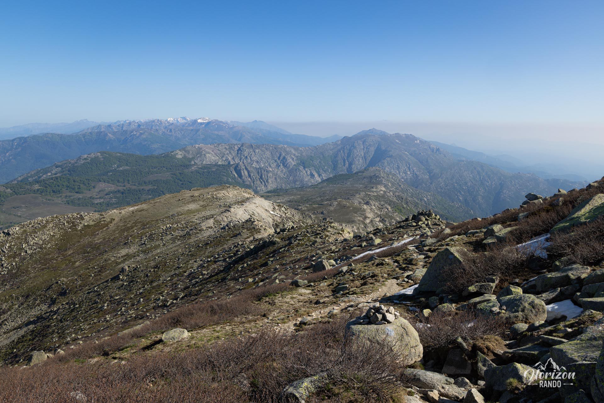
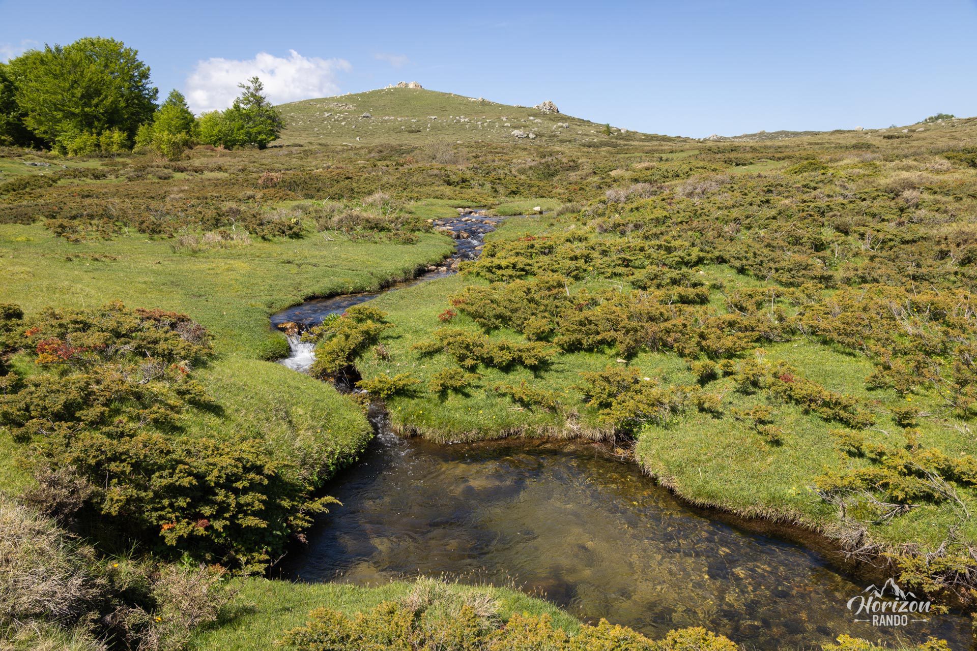
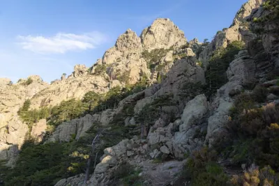
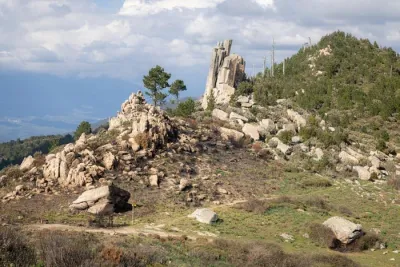
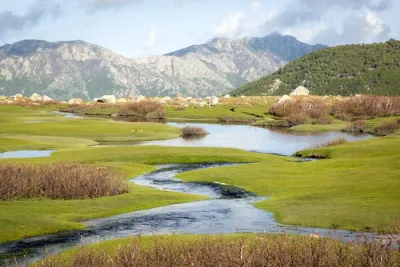
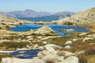
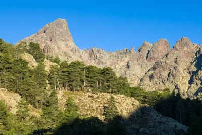
On the way up, the route follows the GR20, passing by the Matalza refuge and the Croci sheepfolds. Hikers will cross varied landscapes, including pine forests and the vast meadows of the Cuscione plateau, which are dotted with pozzines and semi-wild animals. Near the summit, the landscape becomes more mineral.
Map and elevation profile of the hike
Monte Incudine Hike
Description and difficulties of the hike
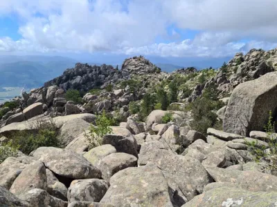
This hike is not technically difficult, but it is physically demanding due to its length: 20 kilometers and eight hours of walking. The trail follows the red and white markings of the GR20, which are clearly visible and easy to follow. You will pass the Matalza Refuge and the Croci sheepfolds before reaching Bocca Stazzunara, where the final ascent to the summit begins. This last section is not technically difficult but is on very rocky terrain.
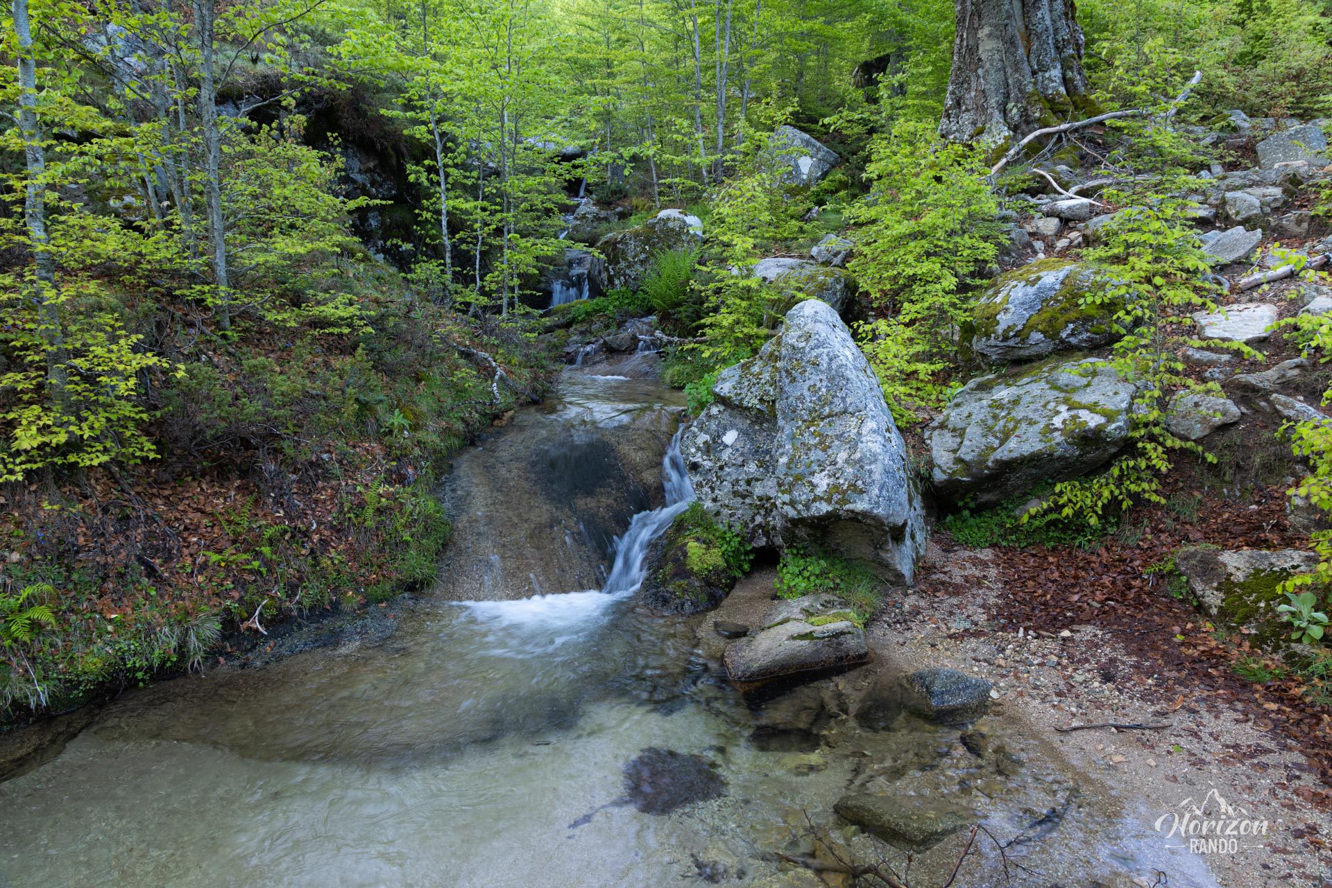
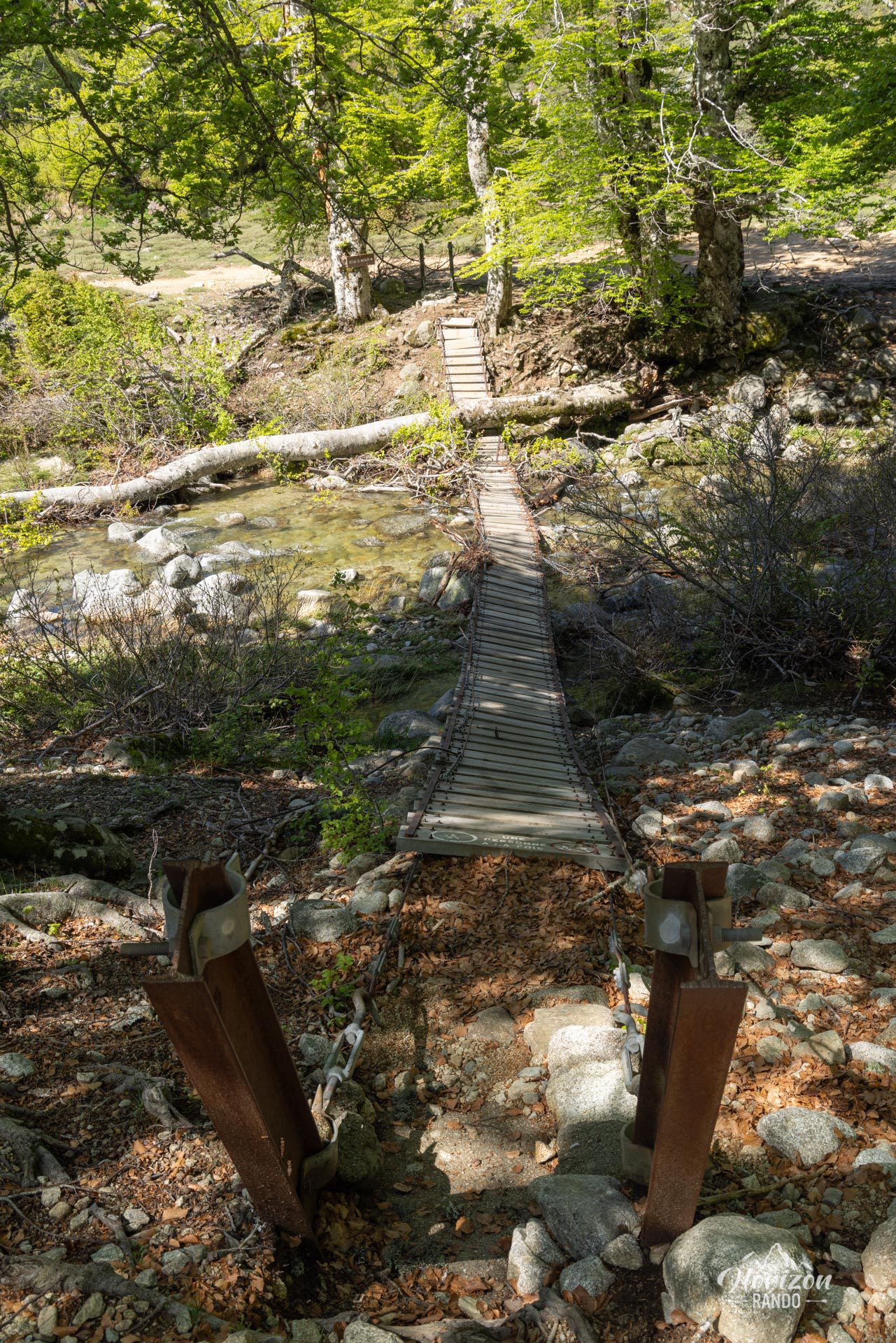
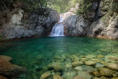
For the return trip, you have two options: return by the same route or take the old GR20 variant. Please note, however, that the latter is temporarily closed due to the collapse of a footbridge over a stream. The markings have been removed, but the trail remains passable. Be prepared to cross the stream!
What you'll love
- The 360° panorama from the summit: Breathtaking views of the Bavella peaks, the Cuscione plateau, and—on a clear day—the Corsican coastline and surrounding bays.
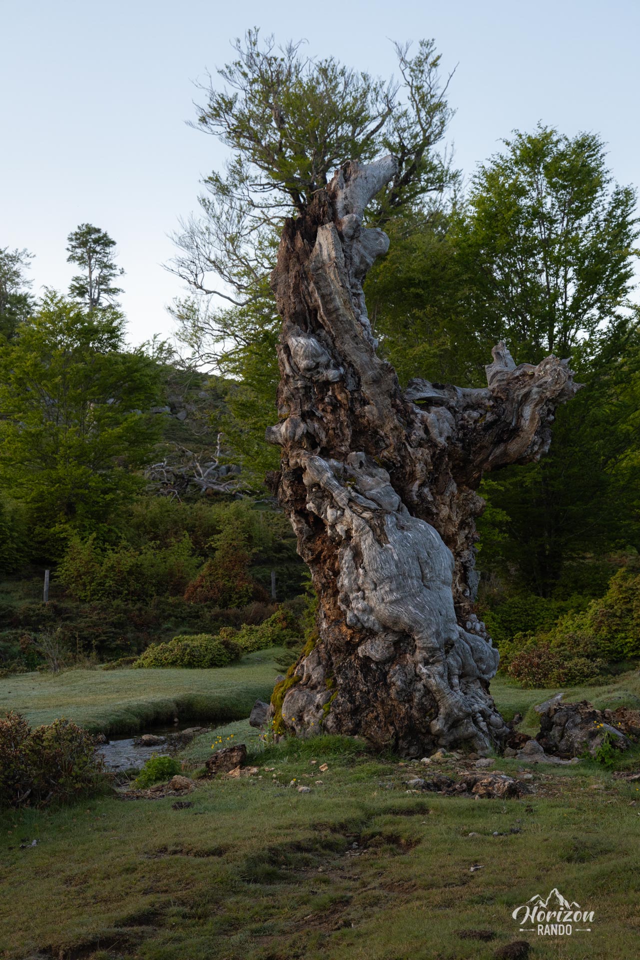
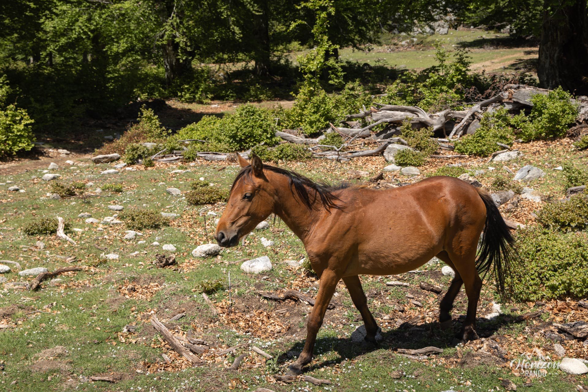
- Crossing the magnificent Cuscione plateau, which has vast high-altitude meadows where cows, horses, and pigs roam freely.
- A relatively uncrowded summit and a very wild return via the old GR20 variant.
Practical information
Return route
The old GR20 variant is closed due to the collapse of a footbridge. The markings have been removed and the stream must be forded. This option is still feasible, but the return via the outward route is safer, especially if you do not have a GPS device.
Photos
See all 16 photos →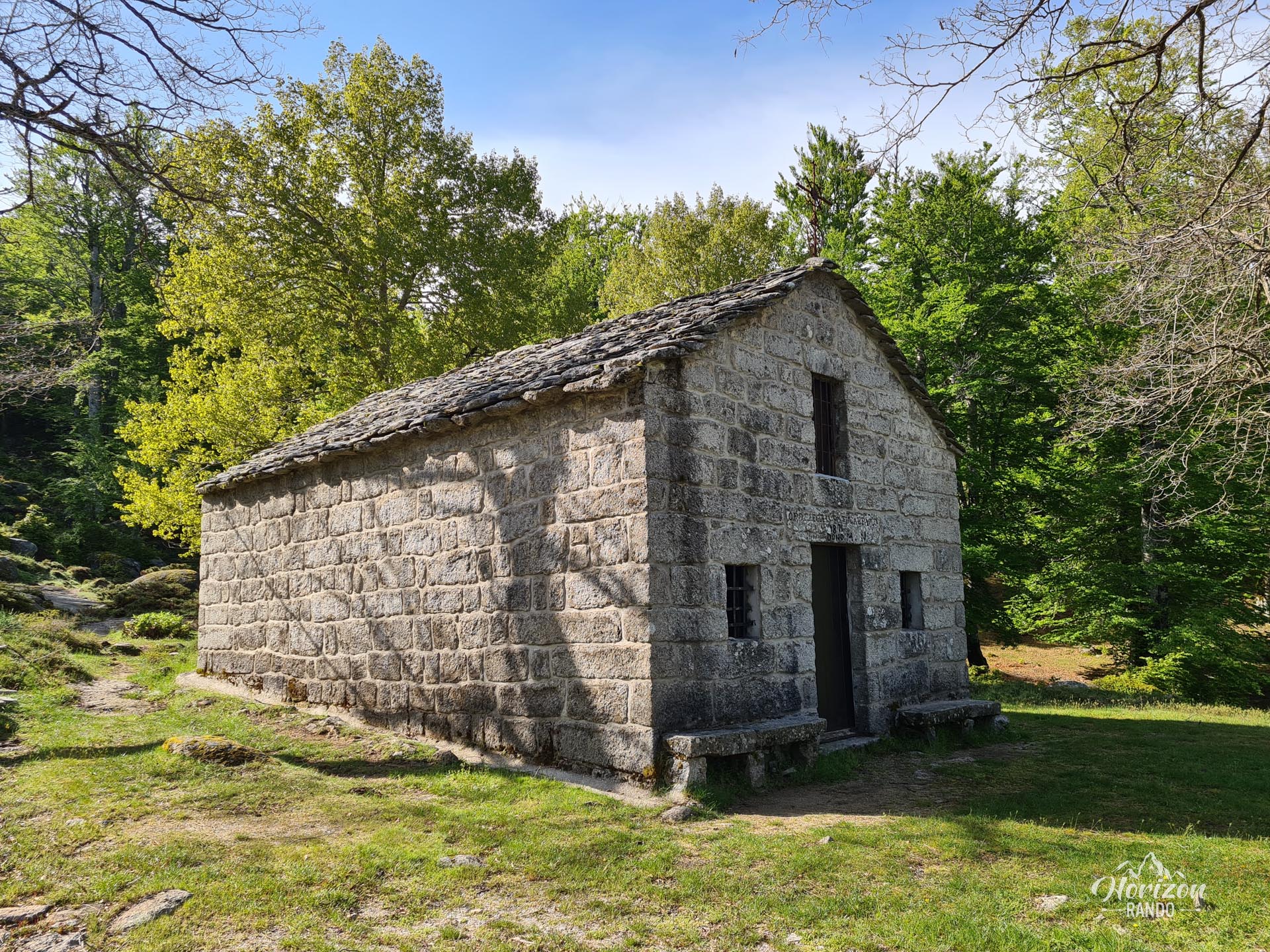
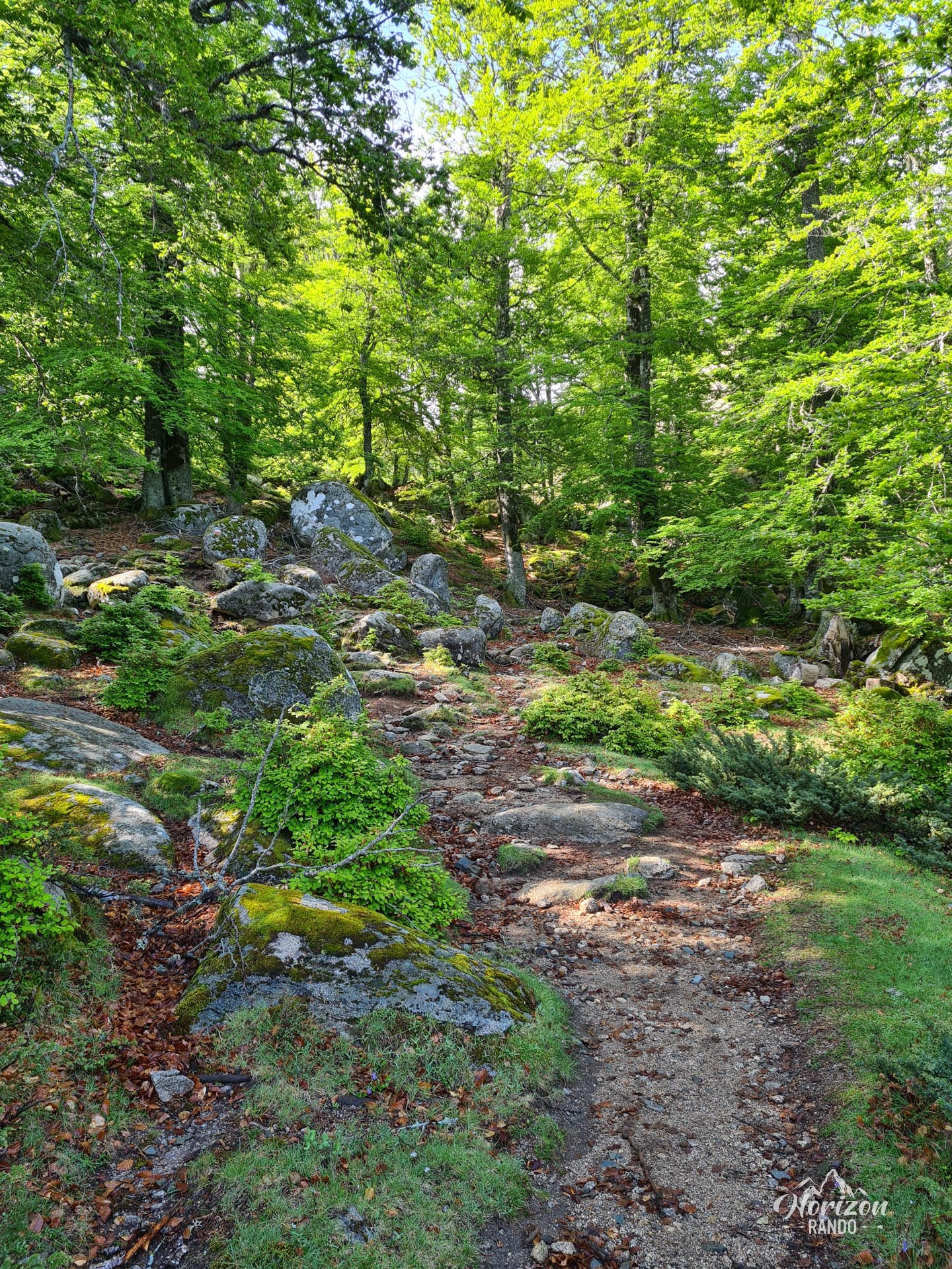
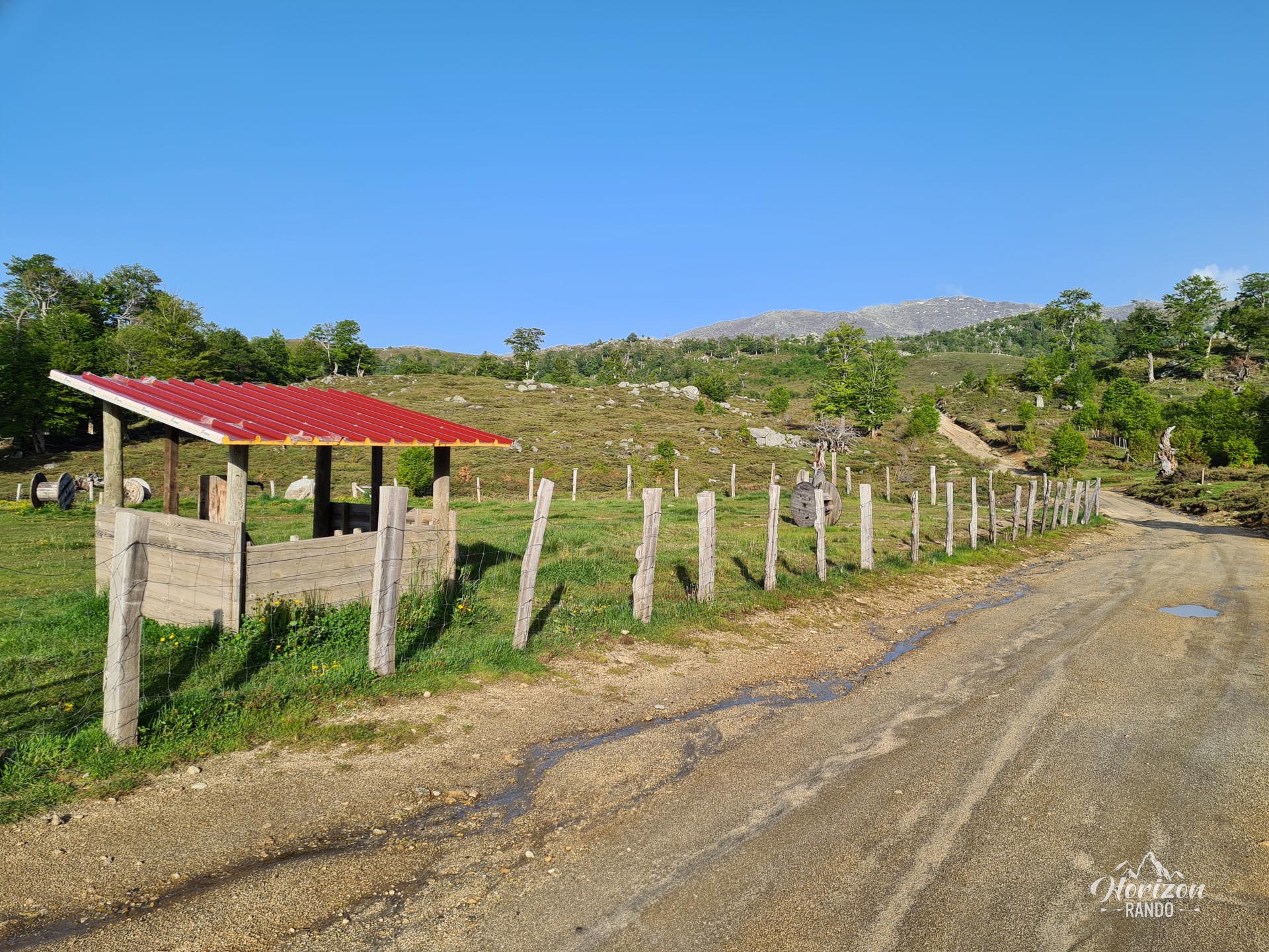
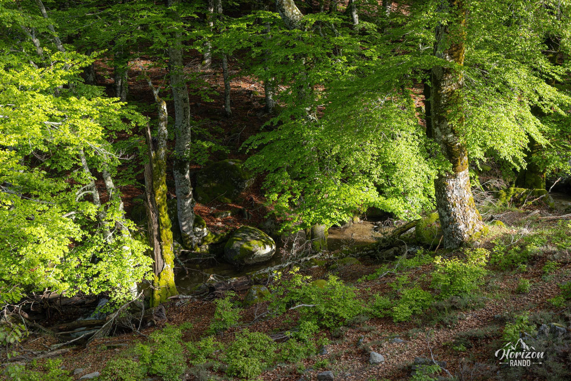
More hikes to do in Corsica
Nearby hikes



Printed from www.horizonrando.fr/en/corsica/monte-incudine/