






Monte San Petru Hike
Key facts about the hike
- Difficulty
- Easy Hikes are rated from very easy to very hard: my difficulty scale
- Duration
- 3h Estimated time, short breaks included (photos, water, snacks), picnic not included: how it is calculated
- Distance
- 7.9km
- out and back
- Elevation gain
- 430m
- Type of route
- Out and back
- Maximum altitude
- 1,400 m
- Vertiginous Five levels, depending on how exposed the route is: the levels in detail
- No
- Marked
- Partially
- Popularity
- Low
- Region
- South-West
- Start point
- 41.77394, 9.02223
- Activity
- Hiking
Hike overview
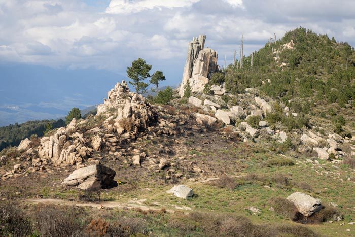
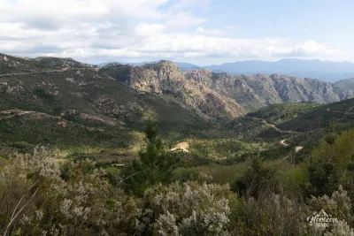
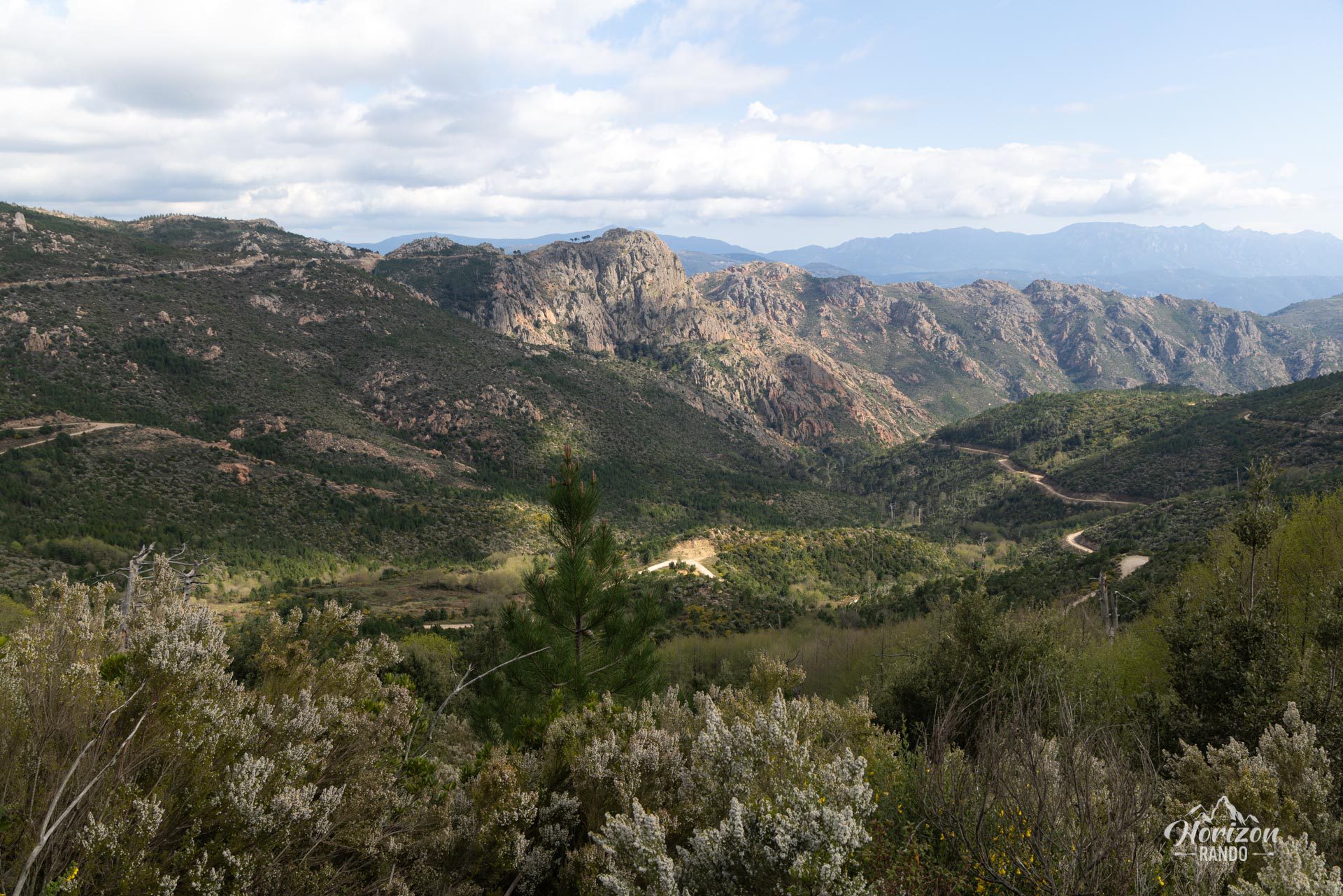
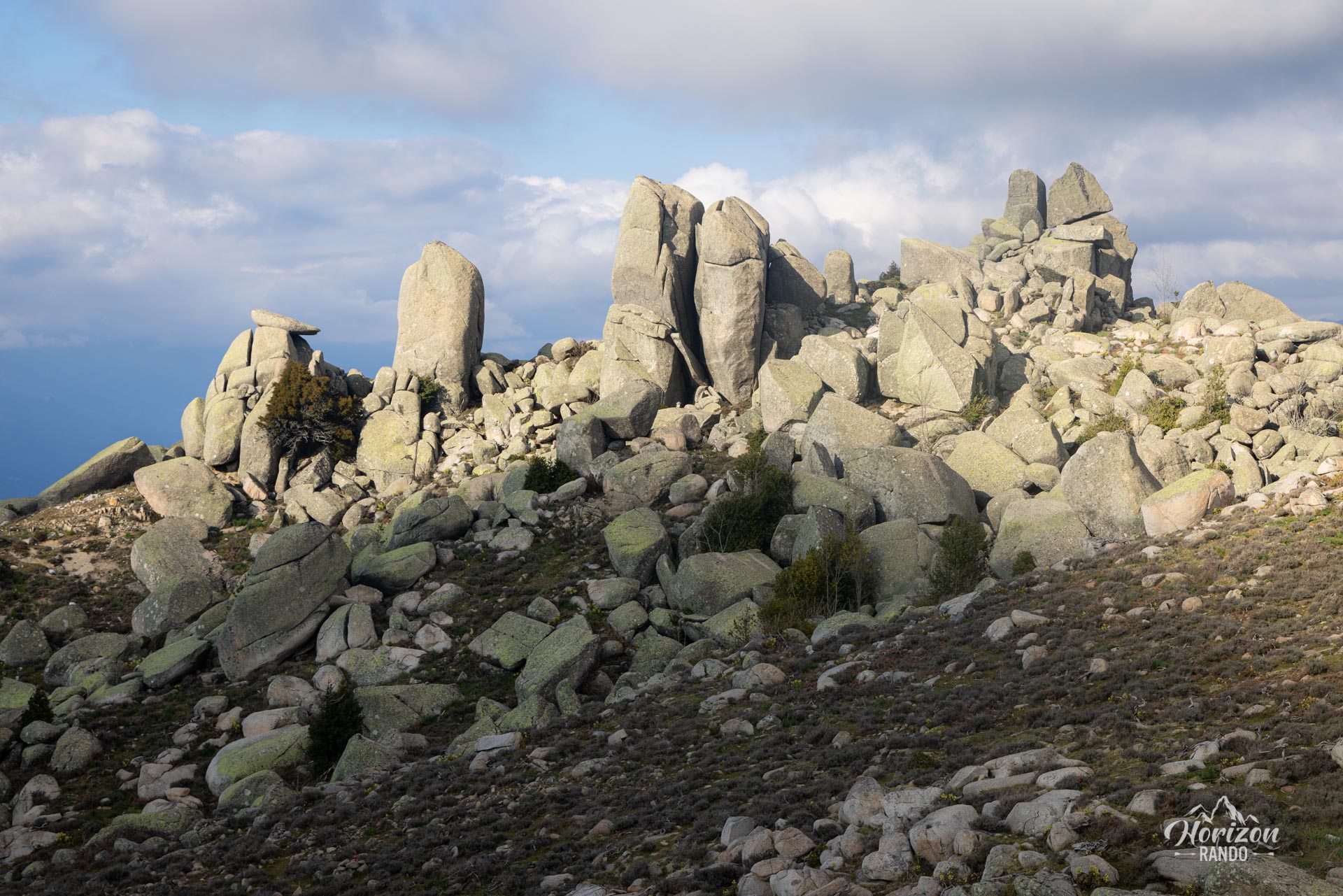
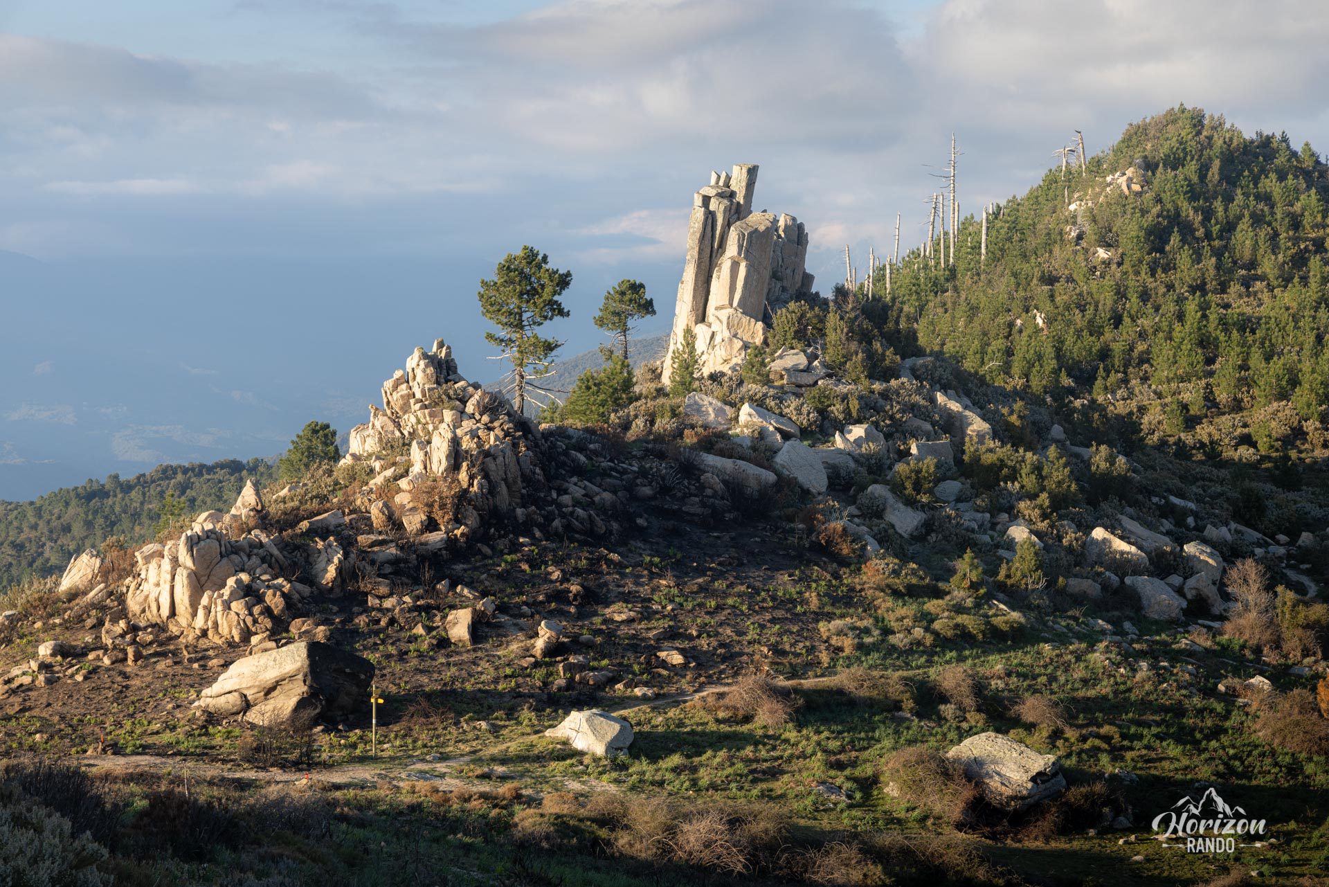
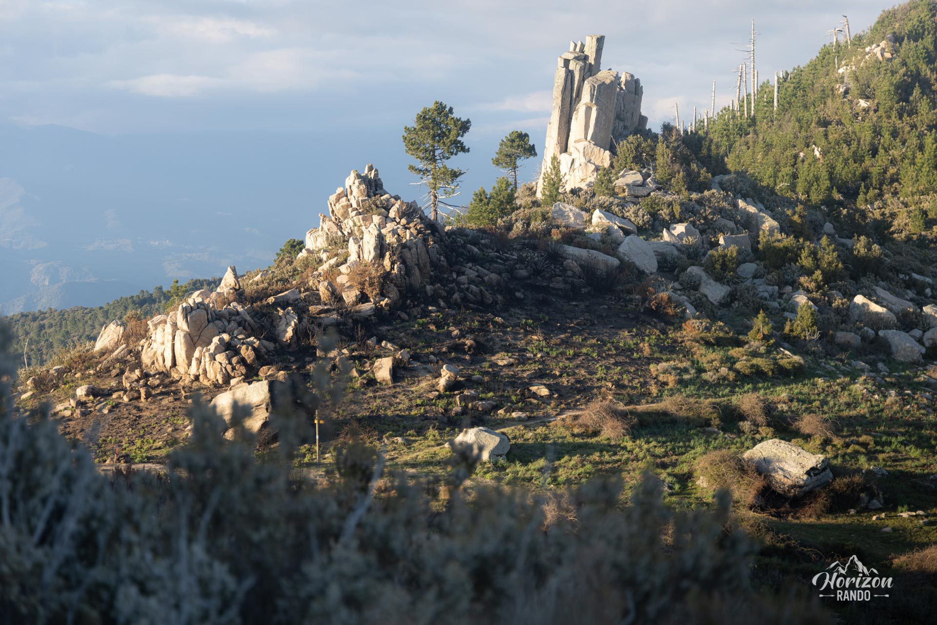
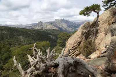
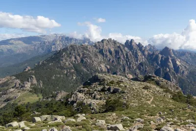
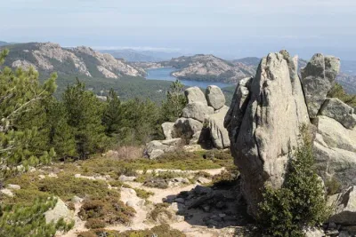
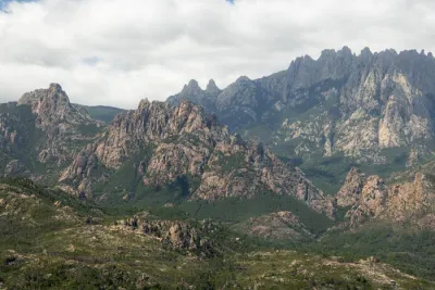
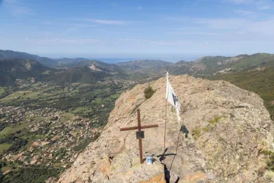
The Monte San Petru hike takes you to the 1,400-meter summit of this mountain, which is the highest point in the Viggiano micro-region of the Incudine massif. Upon reaching the summit, you can enjoy magnificent panoramic views of the Valinco and Ajaccio gulfs, as well as the distant Bavella peaks.
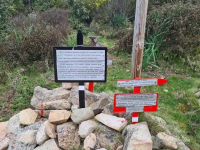
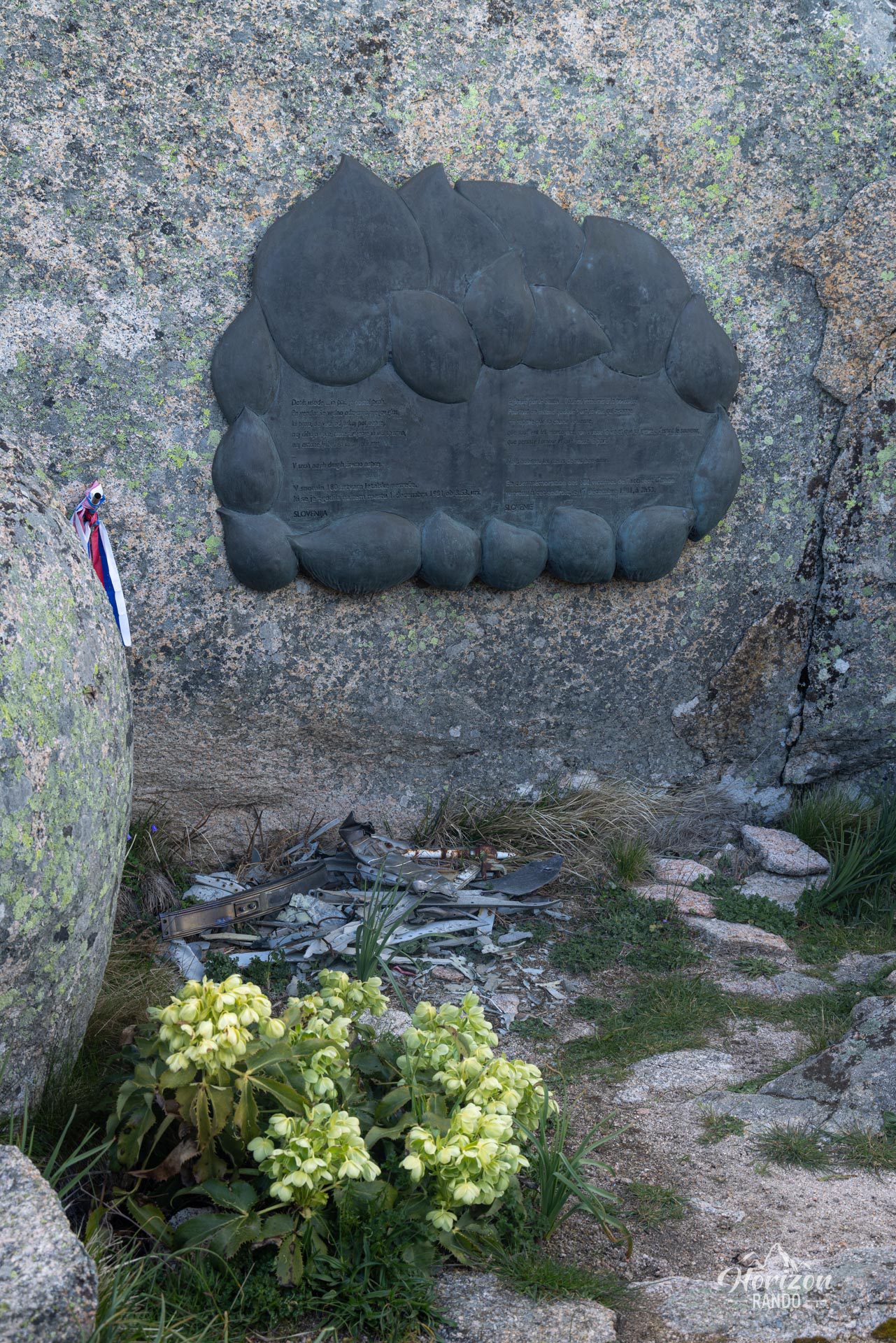
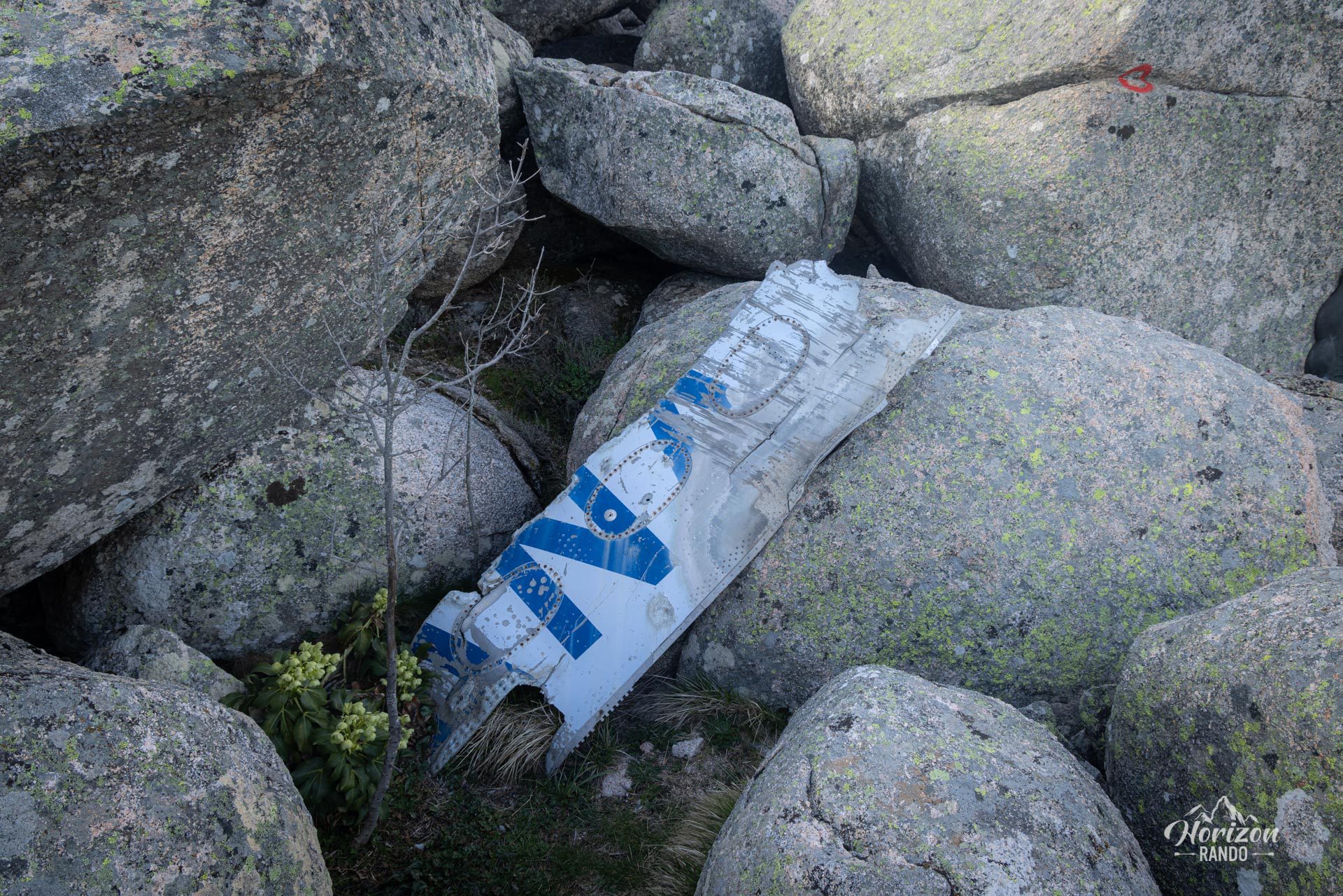
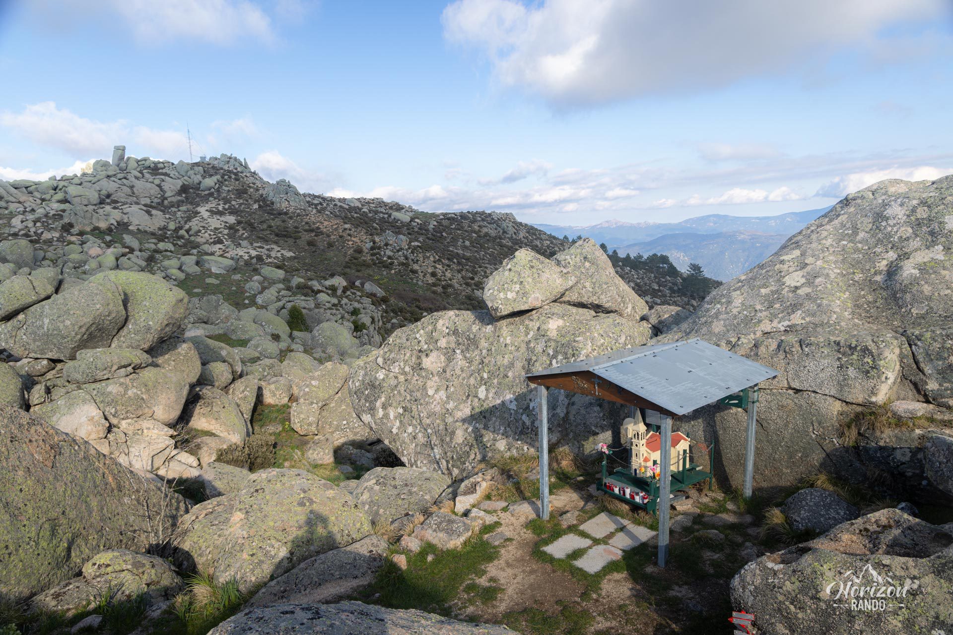
The site also commemorates a tragic event: the 1981 crash of Inex-Adria flight 176, which claimed all 180 lives on board. A chapel and a memorial near the summit commemorate this air disaster.
Map and elevation profile of the hike
Monte San Petru Hike
Difficulties of the hike
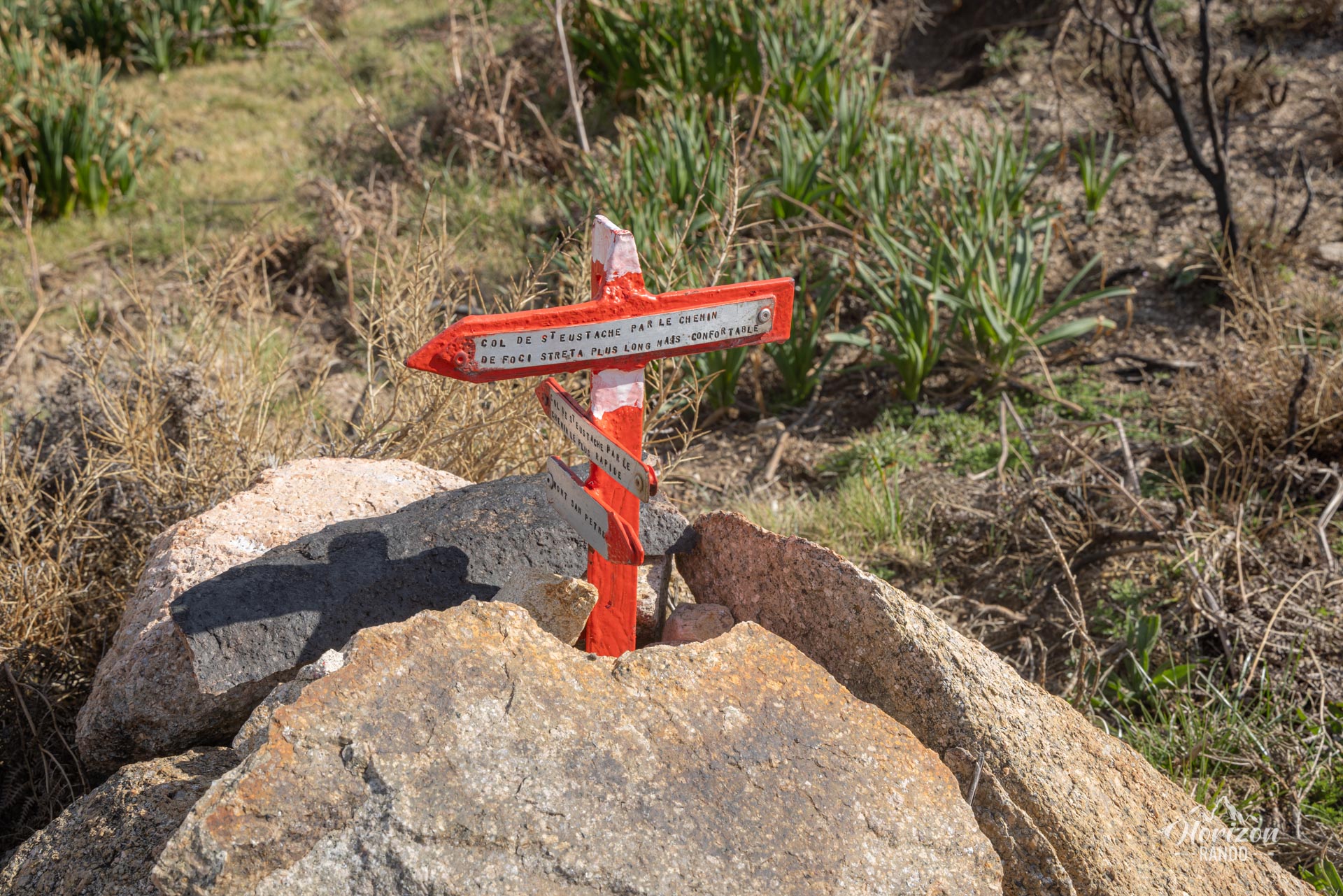
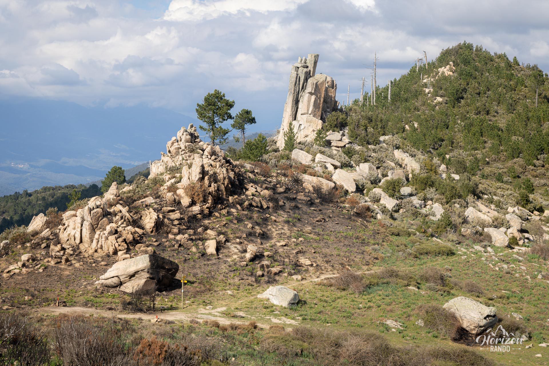
The Monte San Petru hike follows a rocky trail with no technical difficulty, characterized by a steady and gradual climb. The partially marked route is dotted with numerous handmade directional signs installed in tribute to the victims of the plane crash. As the route offers little shade, be sure to bring adequate sun protection.
What you'll love
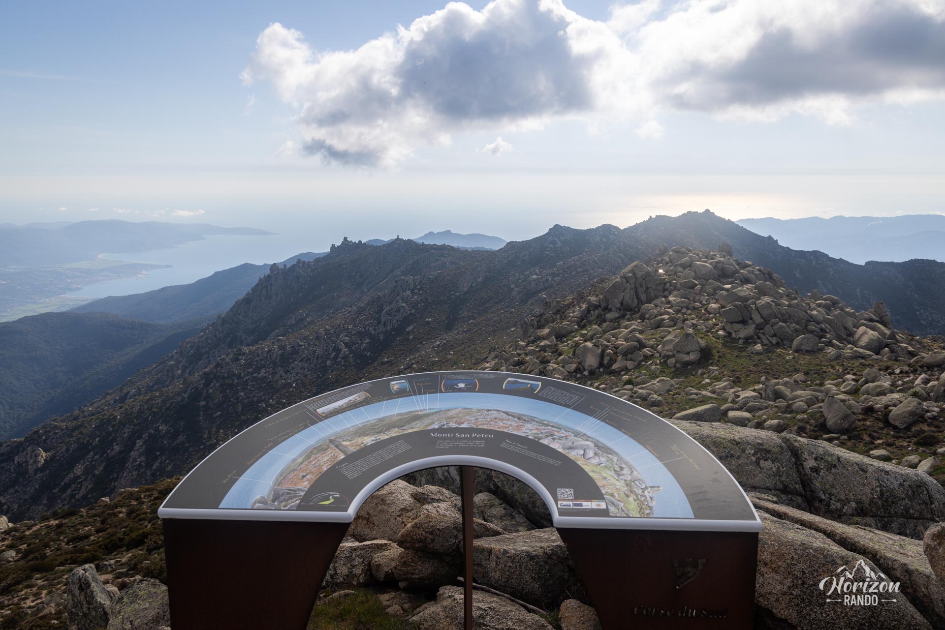
- The 360° panorama from the summit, revealing spectacular views of the Valinco and Ajaccio gulfs, as well as the Monte Incudine massif
- The orientation table near the summit allowing you to identify peaks and notable landmarks
- The memorial site with its chapel and stele paying tribute to the victims of the 1981 crash
Photos
See all 12 photos →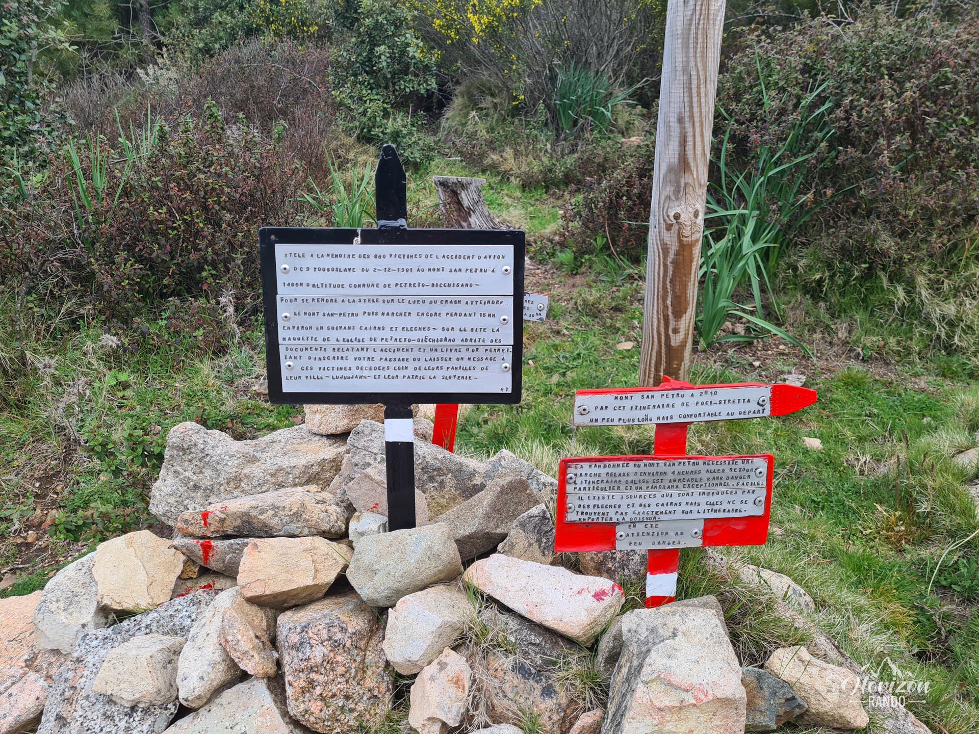
More hikes to do in Corsica
Nearby hikes




















Printed from www.horizonrando.fr/en/corsica/monte-san-petru/