





Mount Gozzi Hike
Key facts about the hike
- Difficulty
- Easy Hikes are rated from very easy to very hard: my difficulty scale
- Duration
- 2h30 Estimated time, short breaks included (photos, water, snacks), picnic not included: how it is calculated
- Distance
- 6km
- out and back
- Elevation gain
- 320m
- Type of route
- Out and back
- Maximum altitude
- 716 m
- Vertiginous Five levels, depending on how exposed the route is: the levels in detail
- Slightly
- Marked
- No
- Popularity
- Moderate
- Region
- South-West
- Start point
- 42.01036, 8.76895
- Activity
- Hiking
Hike overview
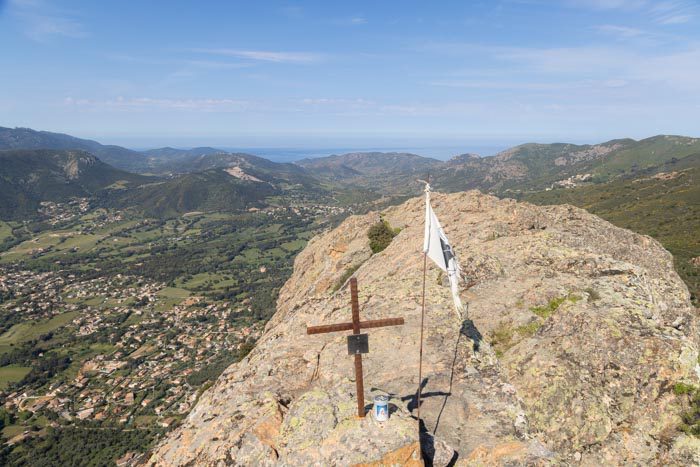
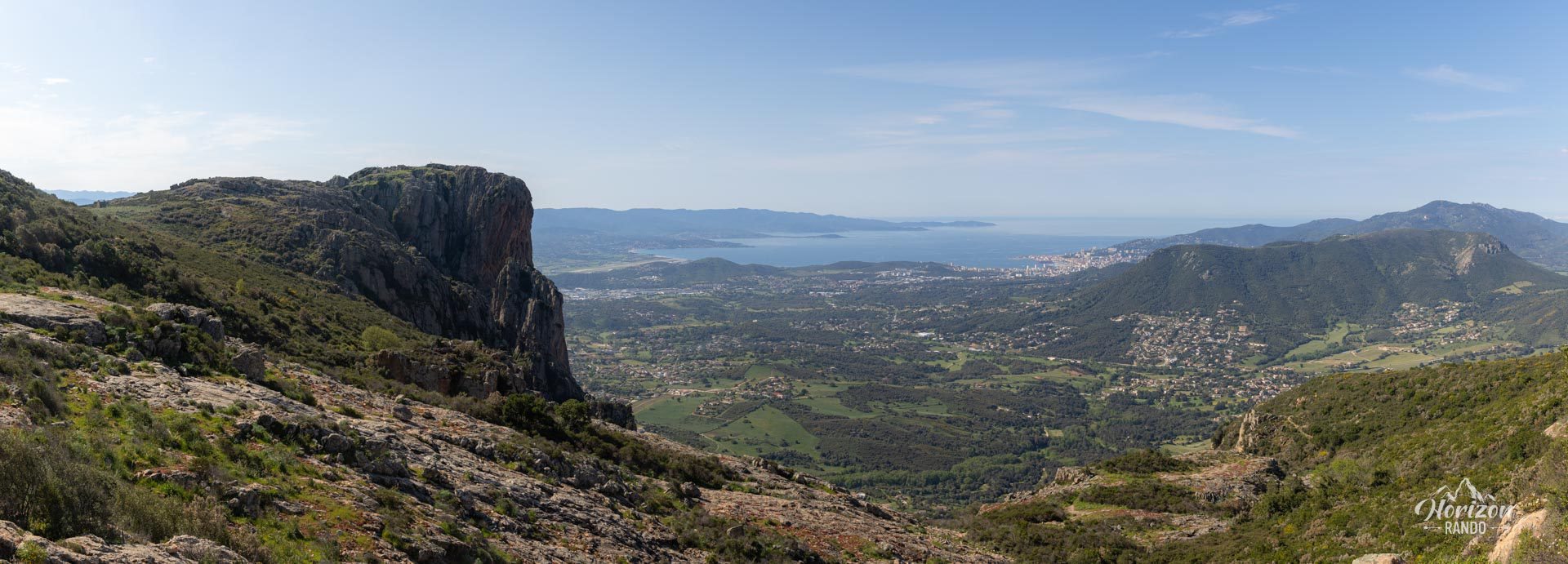
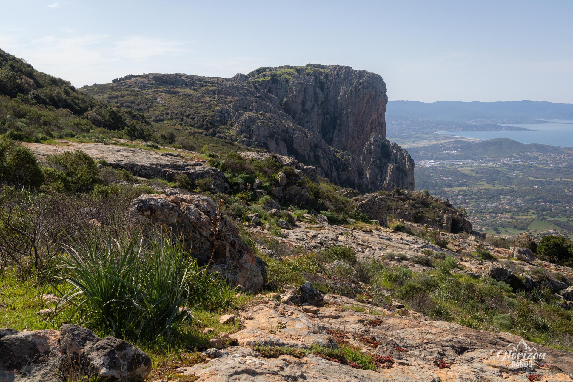
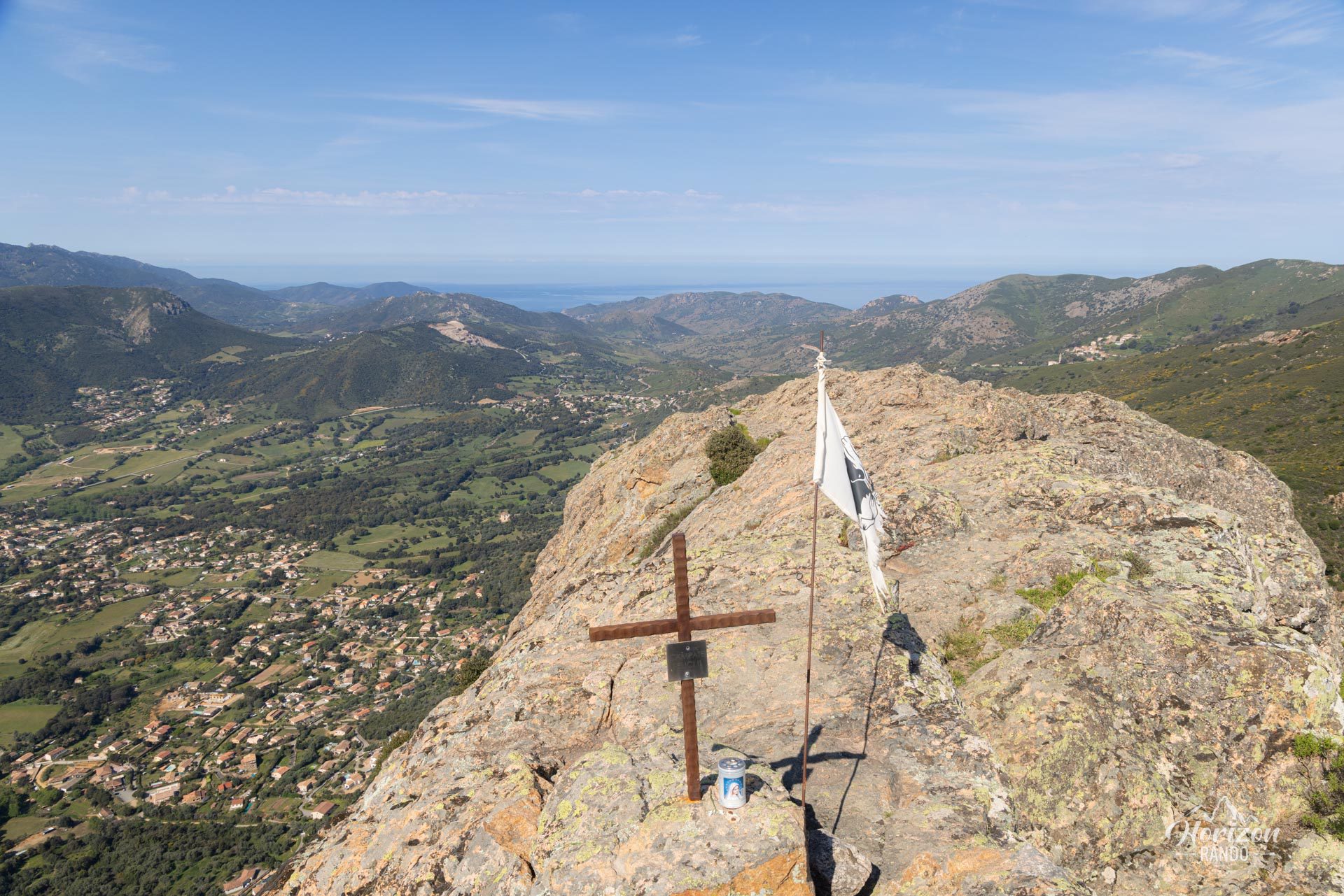
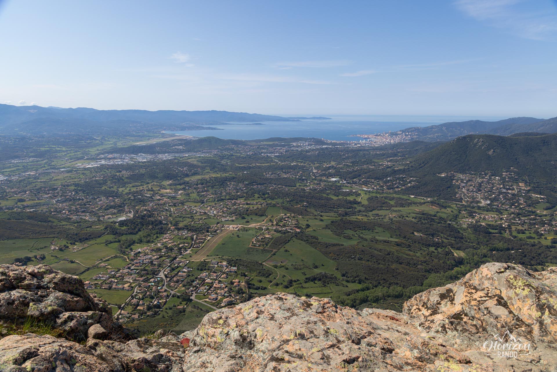
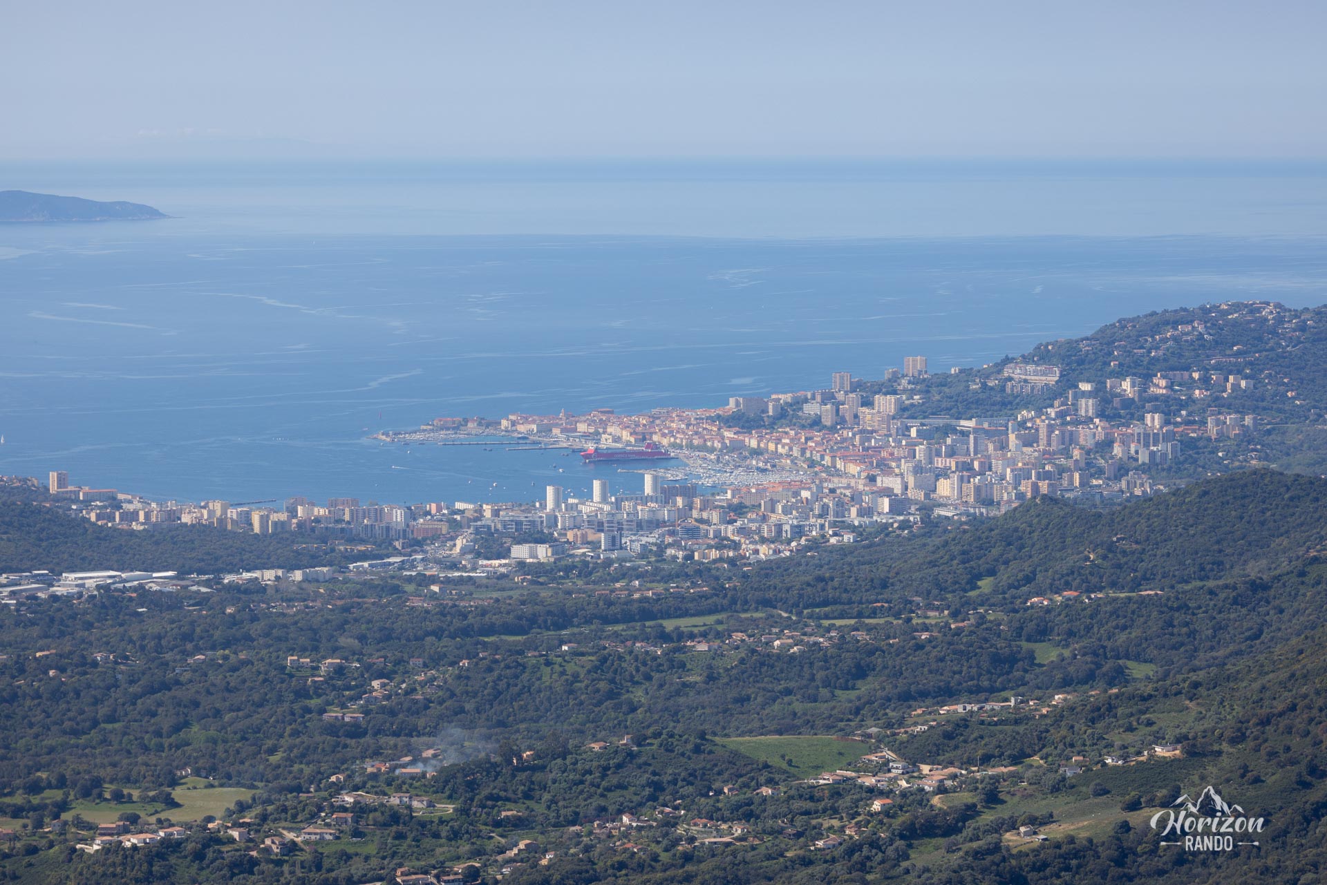
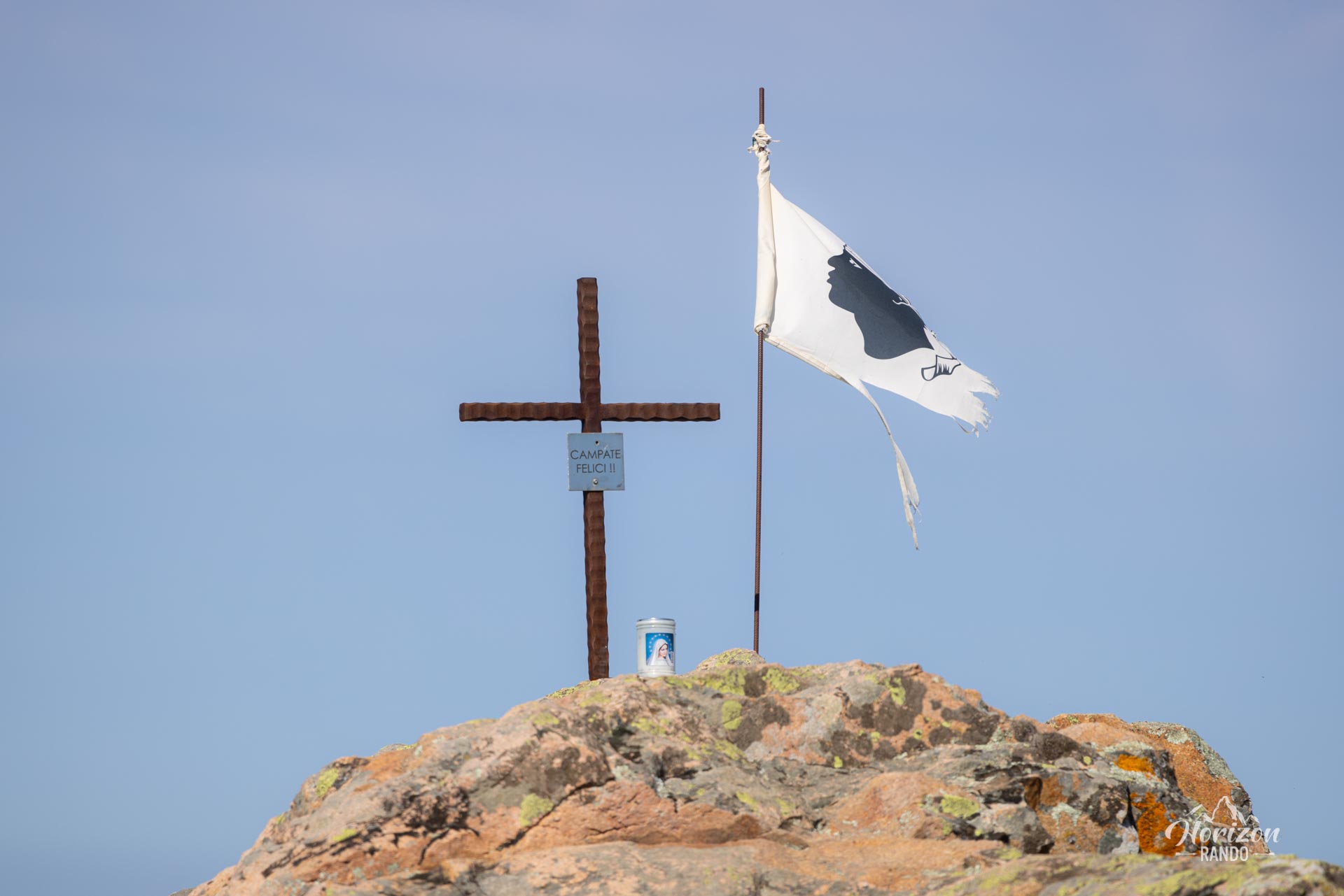
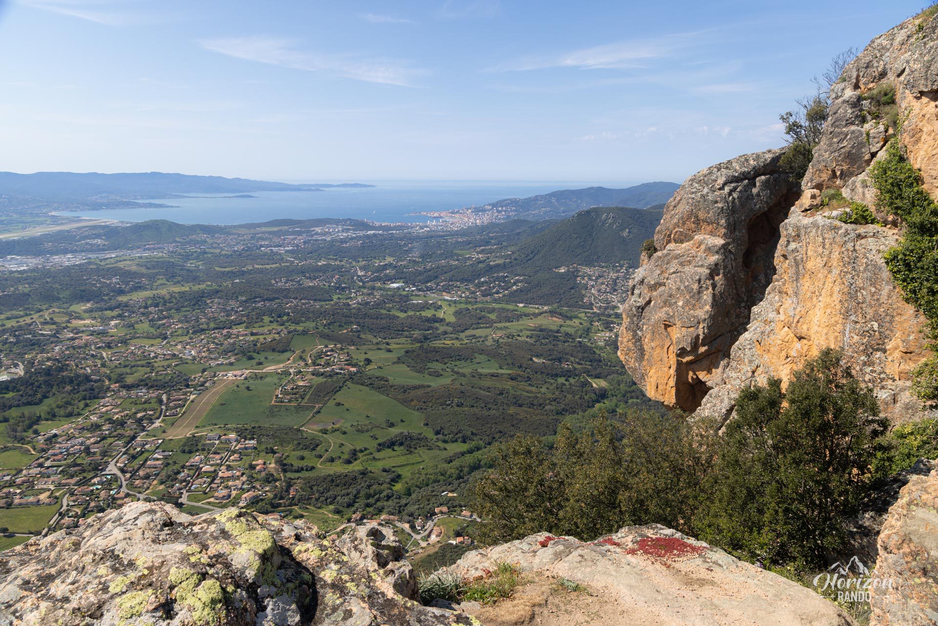
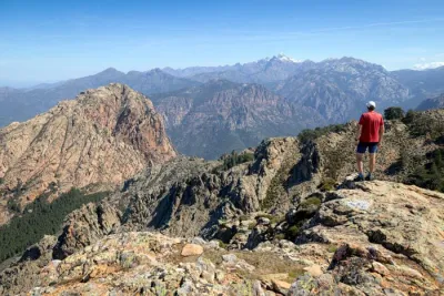
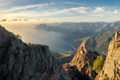
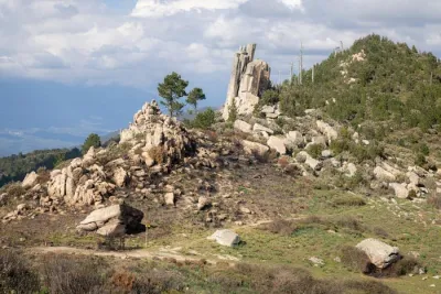
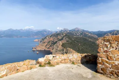
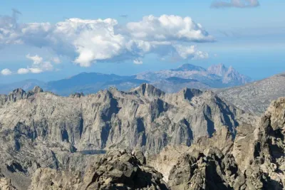
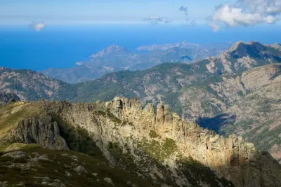
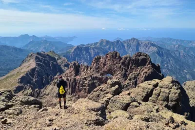
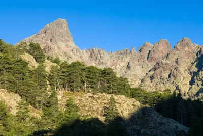
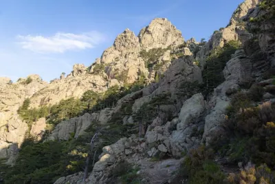
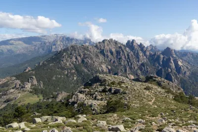
The Mount Gozzi hike leads to an impressive granite cliff rising to an altitude of 716 meters that overlooks the Afa plain. Visible from Ajaccio and the surrounding area, this stone giant offers a spectacular 360° panorama of the Gulf of Ajaccio, the Gulf of Lava, the Gravona Valley, and the surrounding peaks.
This short hike is ideal for a half-day outing, allowing you to admire the Corsican landscape without venturing far from the island's capital.
Map and elevation profile of the hike
Mount Gozzi Hike
Difficulties of the hike
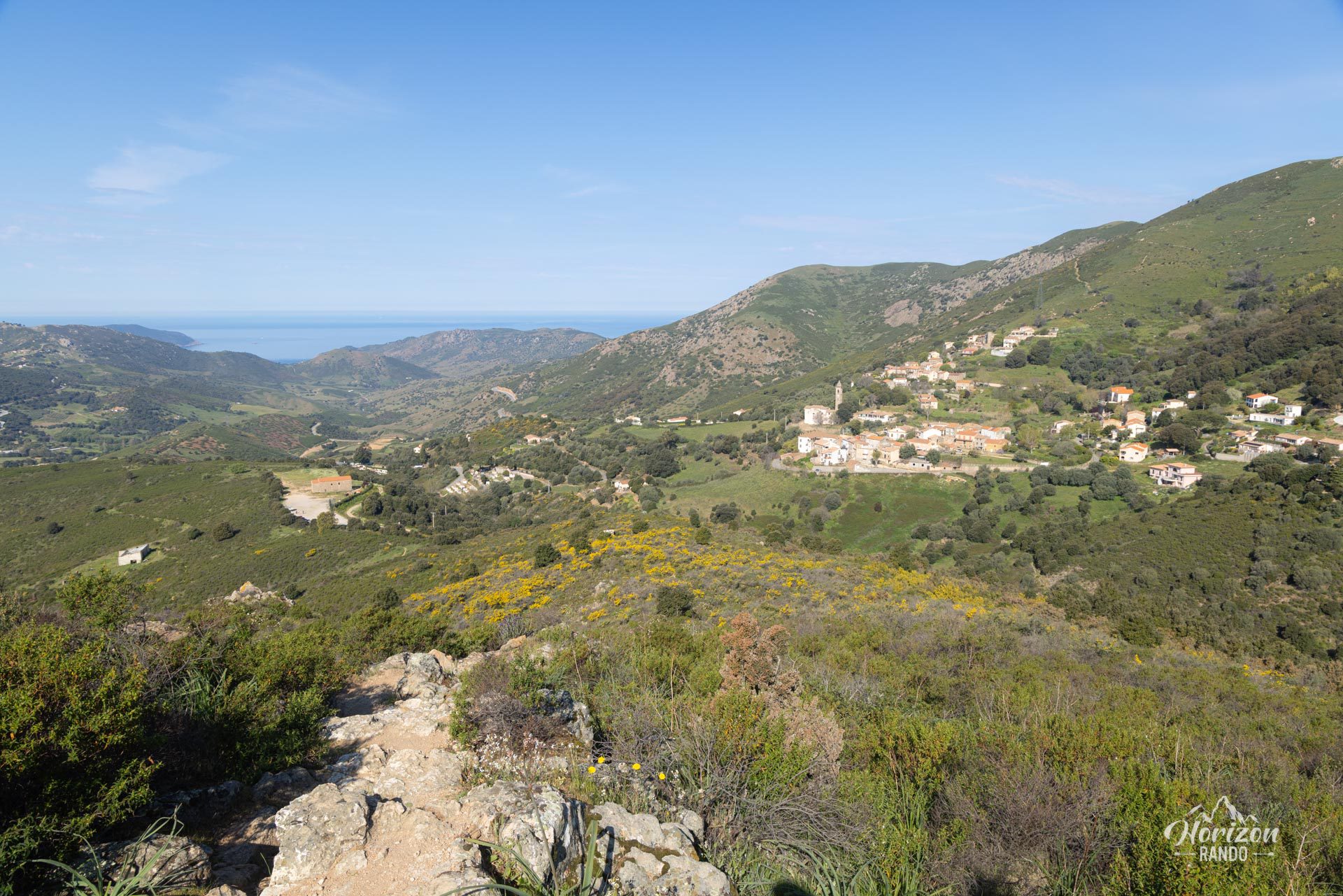
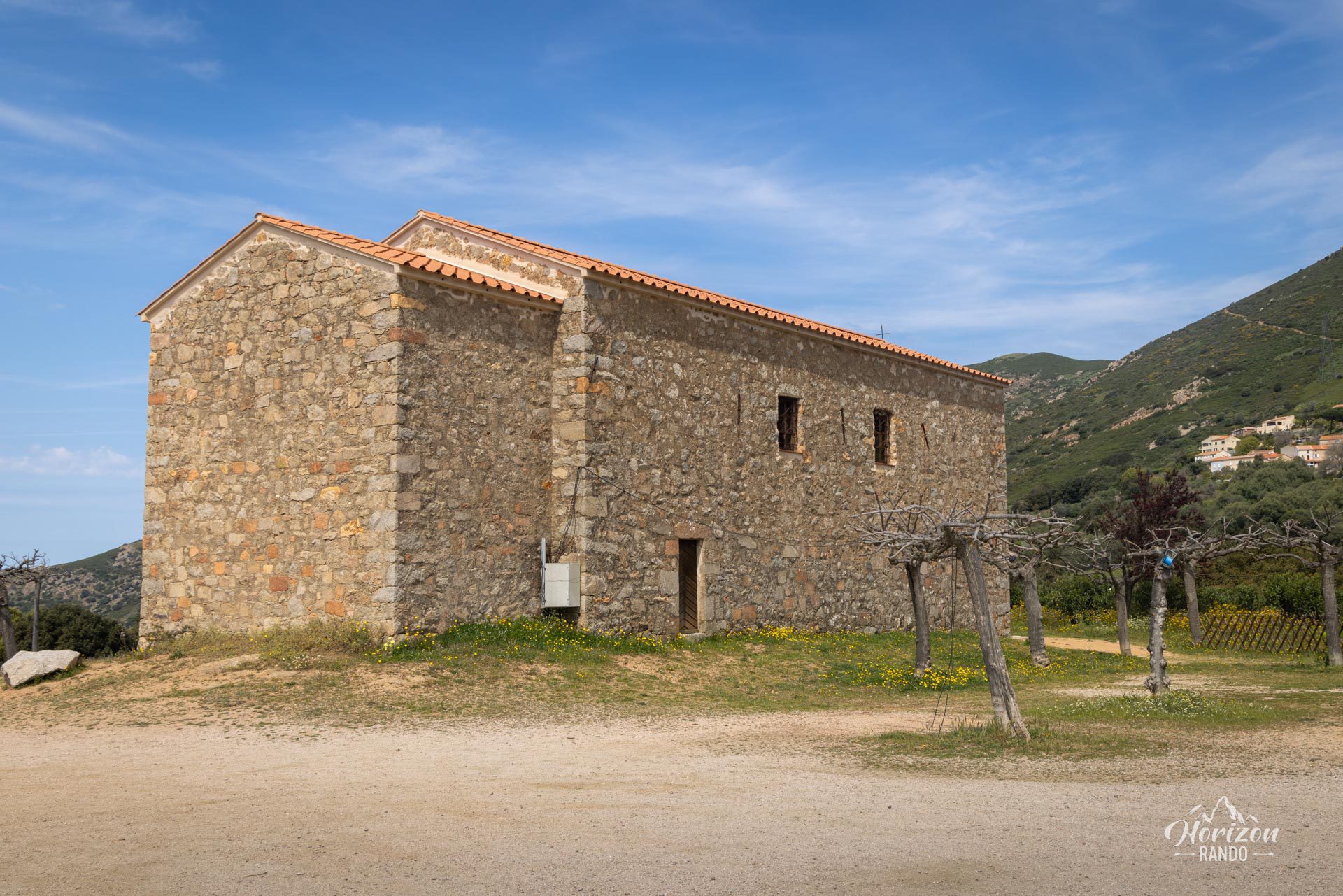
Although the trail is not marked, it does not present any major difficulties. Plan for a thirty-minute climb from the San Chirgu chapel, followed by a relatively flat walk to the summit. However, be prepared for the sun, as there is no shade along the route.
What you'll love
- The 360° panorama from the summit offering spectacular views of the Ajaccio and Lava gulfs, the surrounding plain, and the interior peaks.
- A short but rewarding hike, perfect for a half-day trip just outside Ajaccio.
Practical information
Access
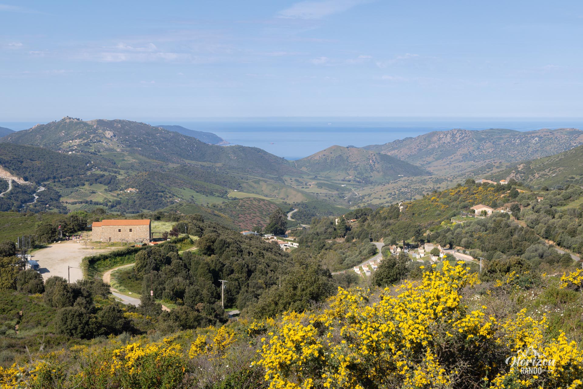
Free parking is available at the San Chirgu chapel, which is the starting point for the hike and less than a 30-minute drive from Ajaccio.
Photos
See all 12 photos →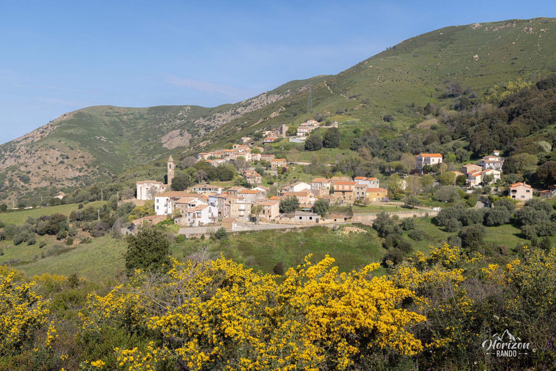
More hikes to do in Corsica
Nearby hikes







Printed from www.horizonrando.fr/en/corsica/mount-gozzi/