





A Maniccia Hike
Key facts about the hike
- Difficulty
- Hard Hikes are rated from very easy to very hard: my difficulty scale
- Duration
- 6h Estimated time, short breaks included (photos, water, snacks), picnic not included: how it is calculated
- Distance
- 10.6km
- out and back
- Elevation gain
- 1,150m
- Type of route
- Out and back
- Maximum altitude
- 2,496 m
- Vertiginous Five levels, depending on how exposed the route is: the levels in detail
- Moderately
- Marked
- No
- Popularity
- Low
- Region
- Center
- Start point
- 42.22887, 9.03021
- Activity
- Hiking
Hike overview
Important: Since 2023, the Restonica Valley road has been inaccessible by car or shuttle bus beyond the Frasseta Bridge. This considerably lengthens the hike.
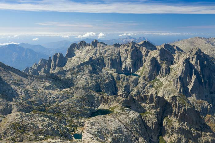
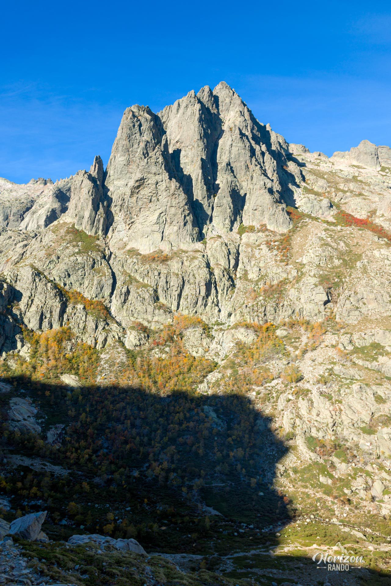
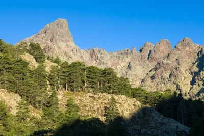
The hike from A Maniccia leads to a 2,496-meter peak in the heart of the Rotondo Massif in Corsica. Unlike the Restonica Valley, which teems with tourists in the summer, the Rinoso Valley, which leads to the summit, is a tranquil haven with few visitors.
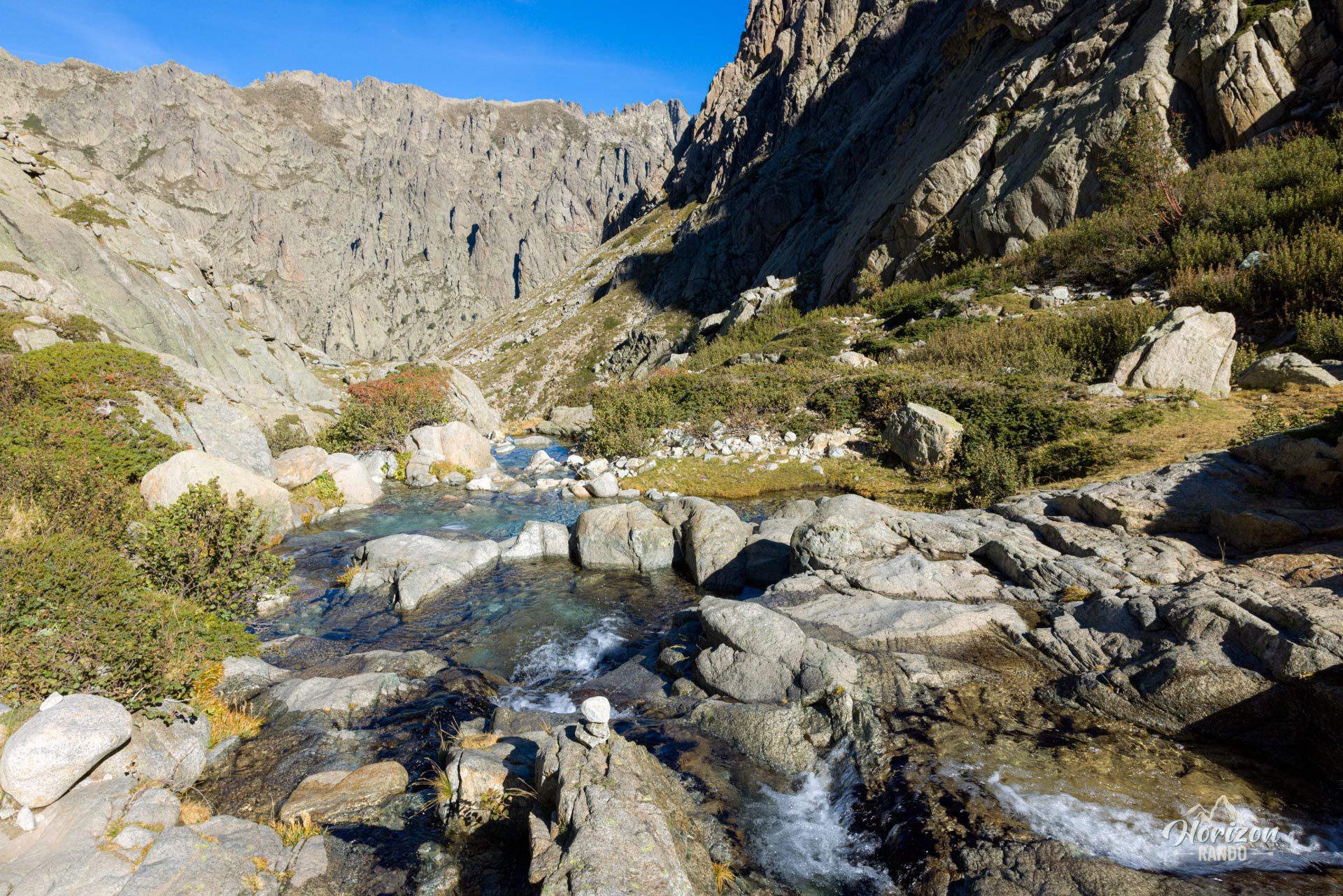
After sharing the trail with crowds heading to the famous Melo and Capitello lakes, you can quickly escape to wild, unspoiled landscapes for a demanding but remarkably rewarding climb.
Map and elevation profile of the hike
A Maniccia Hike
Difficulties of the hike
This hike is physically demanding, with a cumulative elevation gain of 1,150 meters over 10.6 kilometers. Although the trail is technically accessible, it has steep slopes and numerous rocky and scree passages.
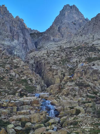
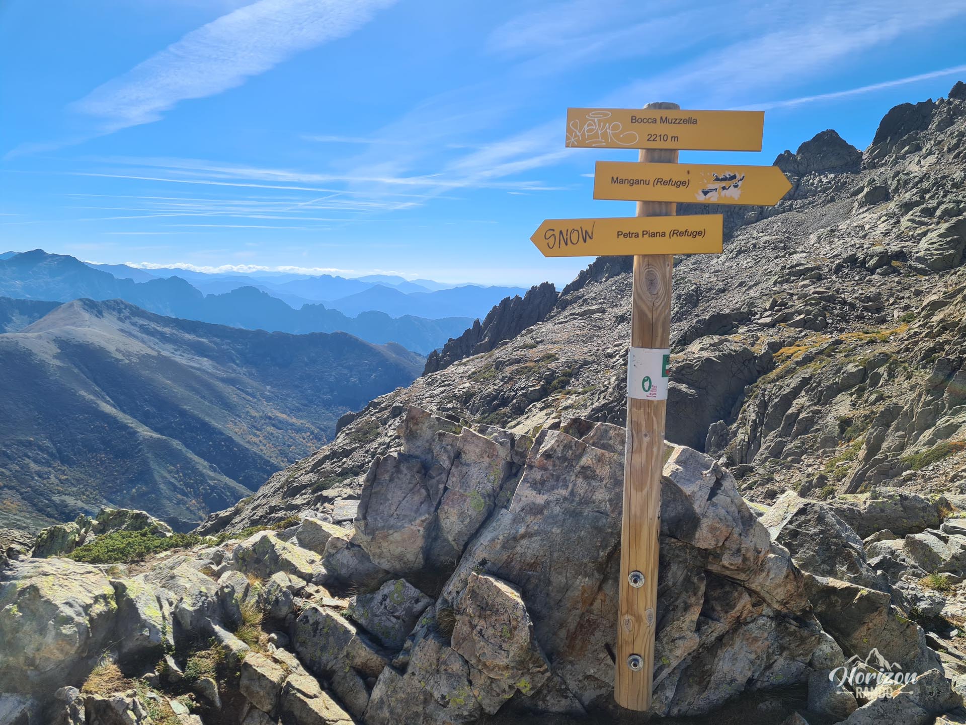
After the fork to the Rinoso Valley, the route is no longer marked, so you must be vigilant to spot the cairns along the way. This fork is marked only by a cairn and can easily be missed, so stay alert. The ascent follows the left bank of the Rinoso stream and includes a steep climb before reaching a plateau. The route continues mainly through scree to Bocca Muzzella (2,206 m), then along the ridge to the summit.
What you'll love
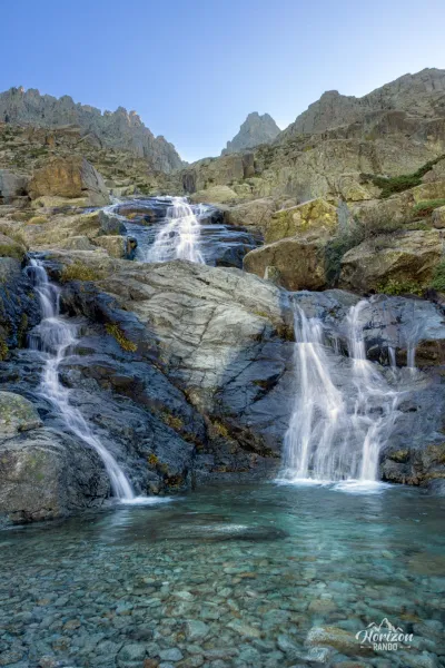
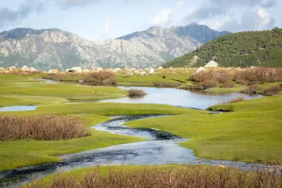
- A quick escape from the crowds to discover a wild and unspoiled valley
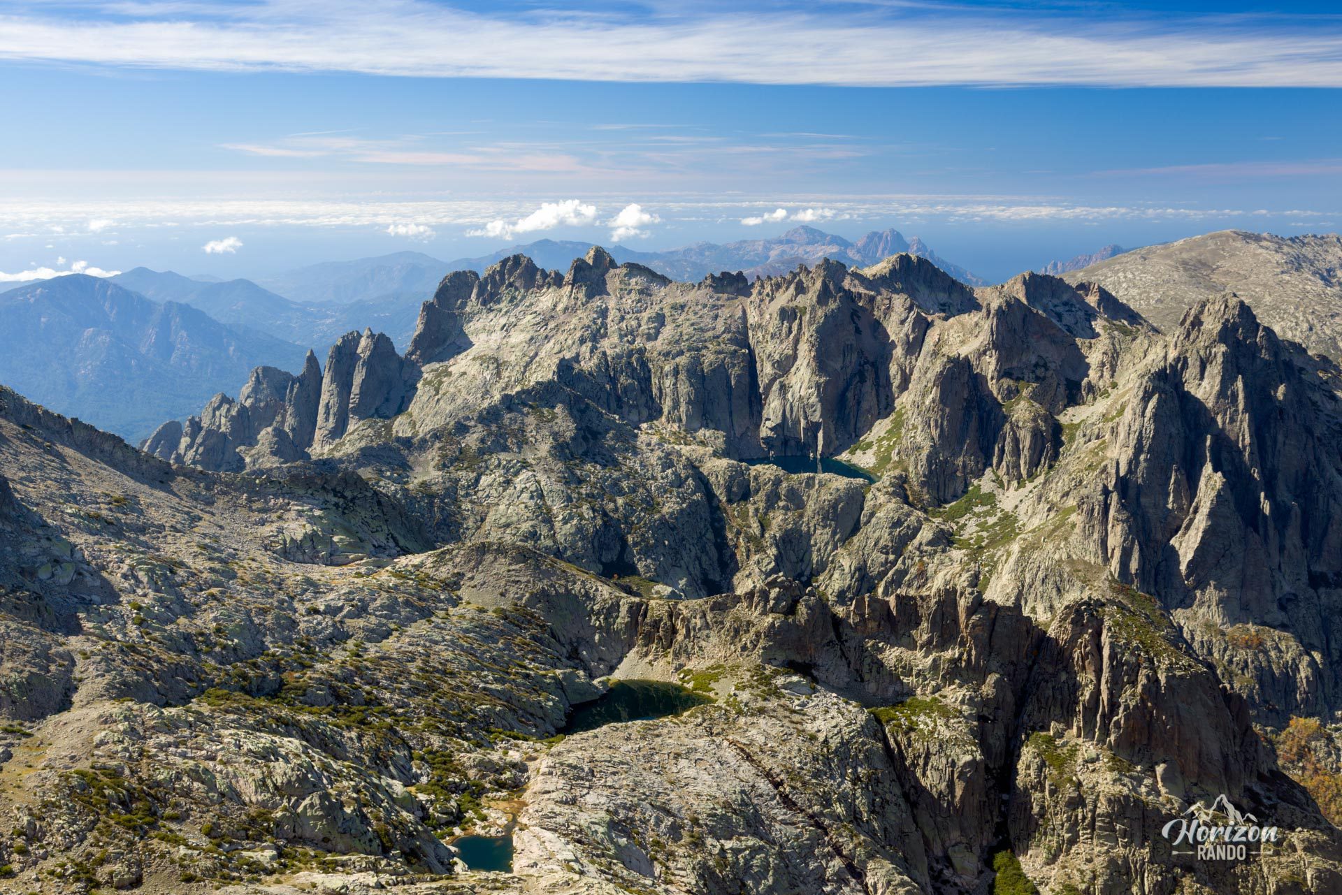
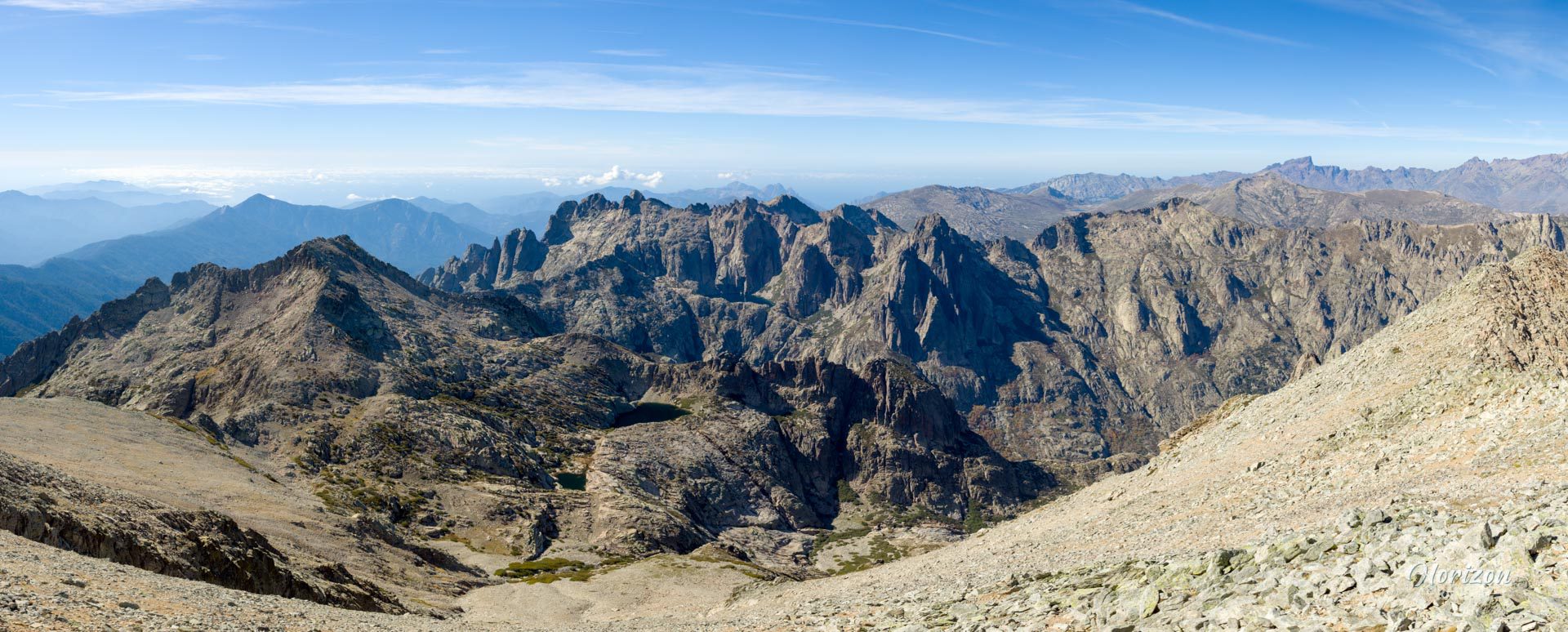
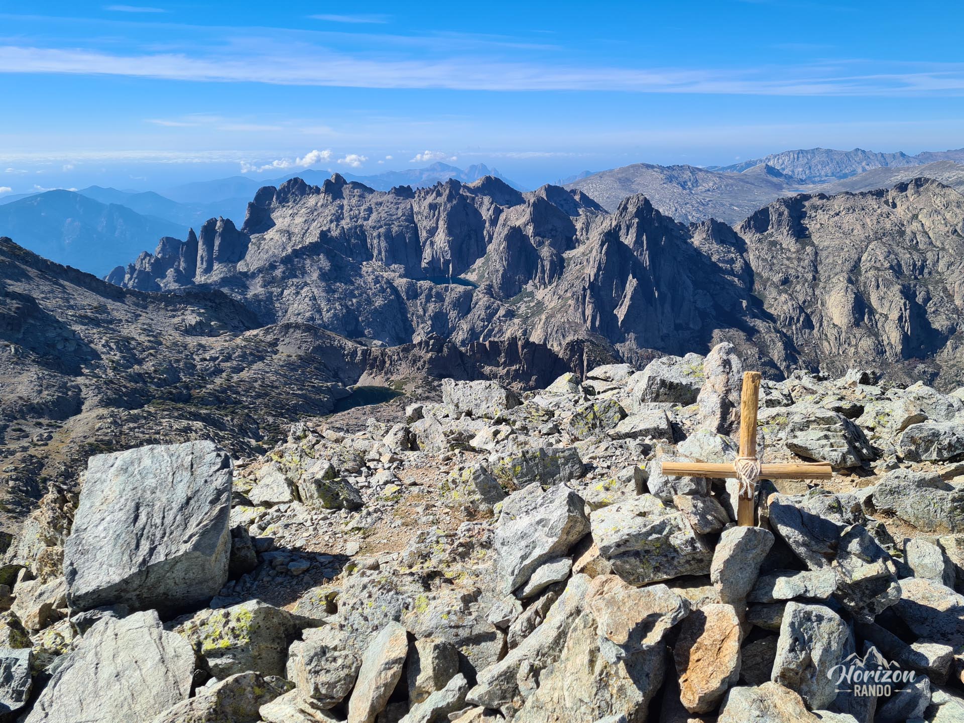
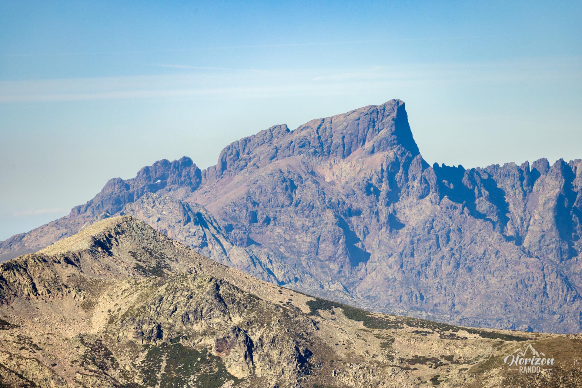
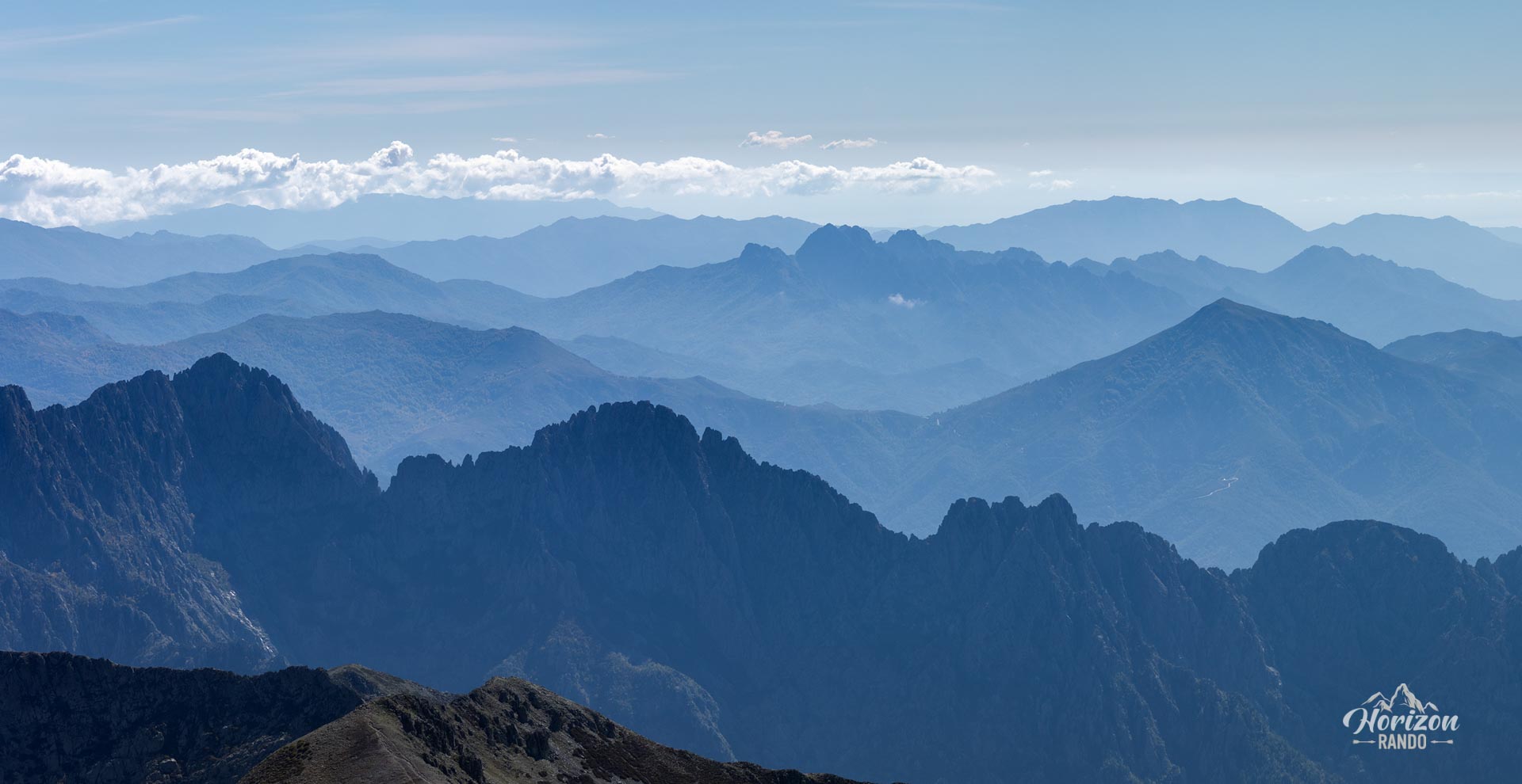
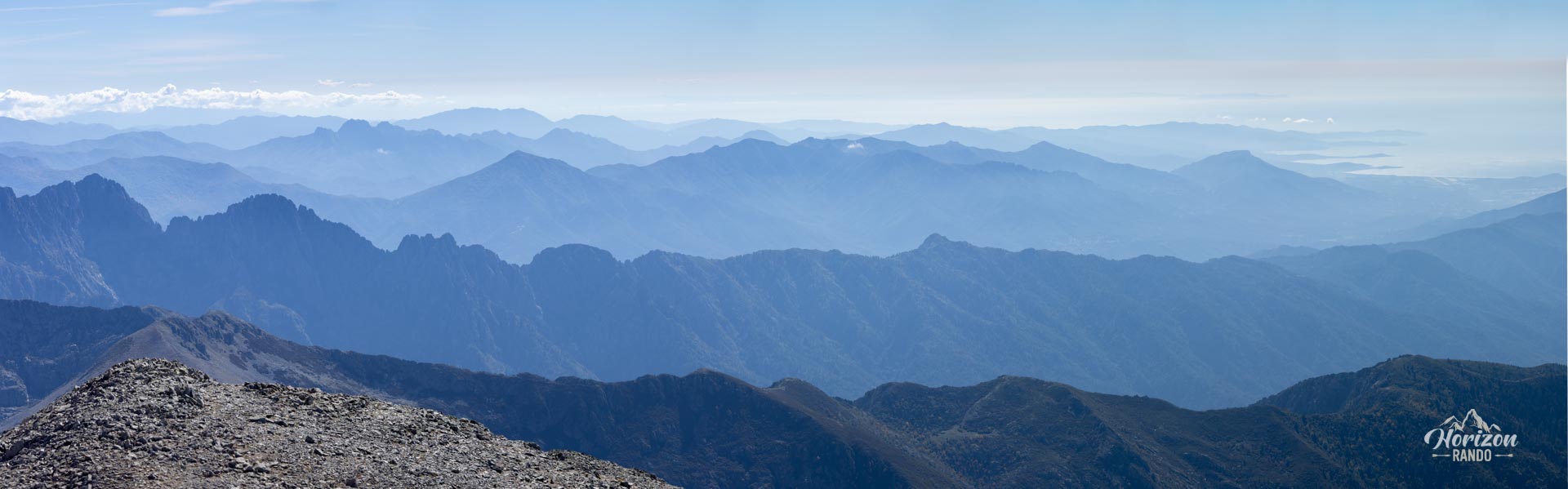
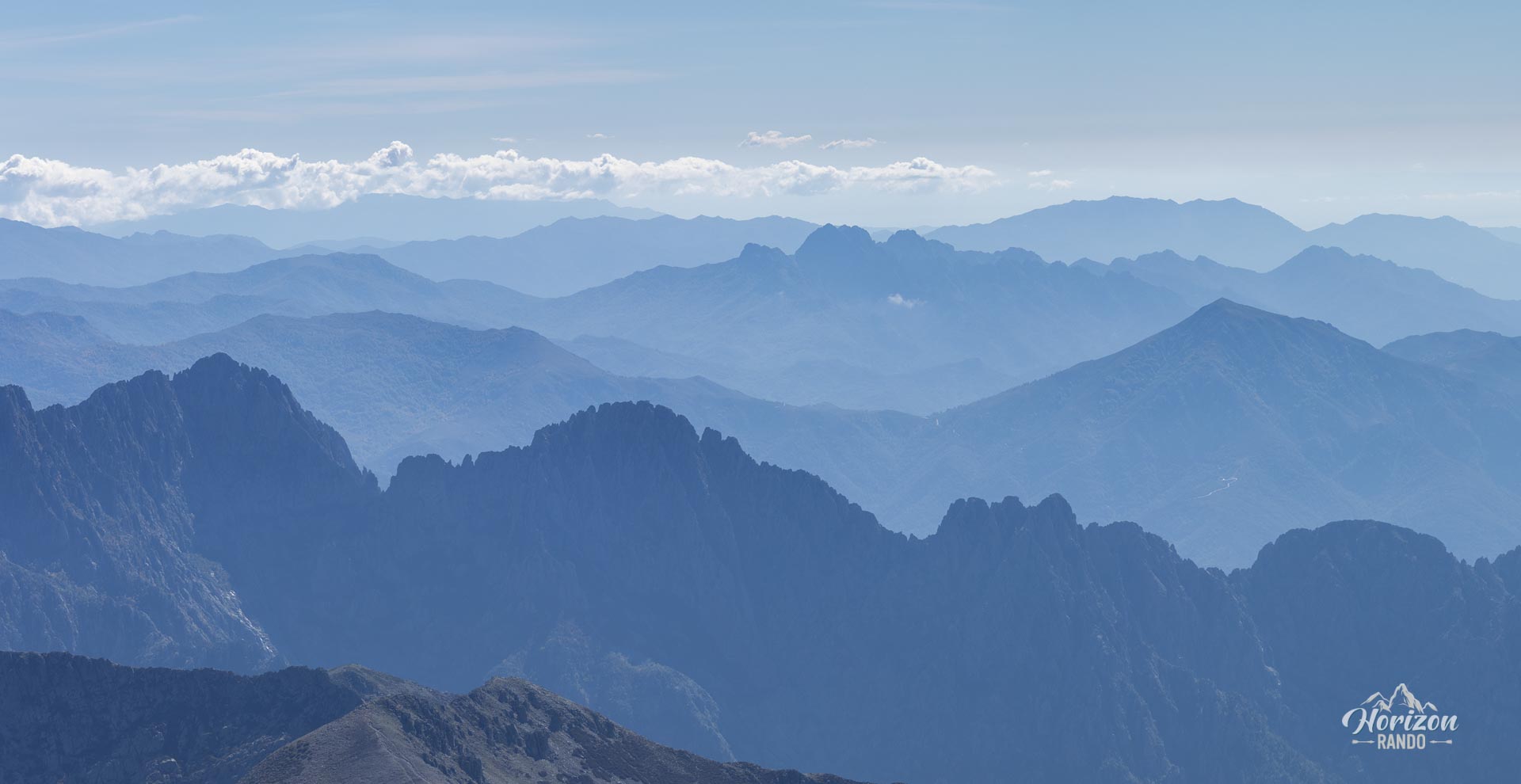
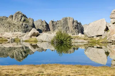
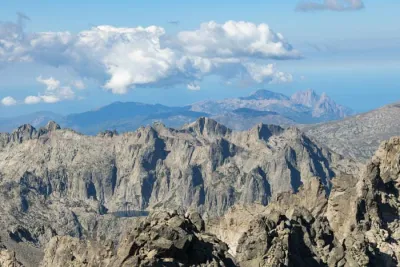
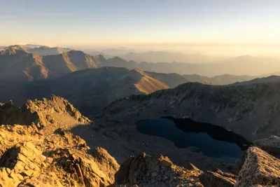
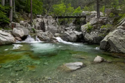
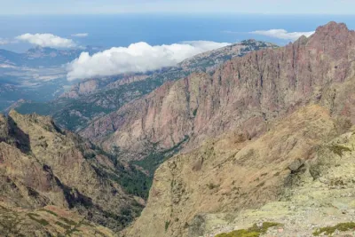
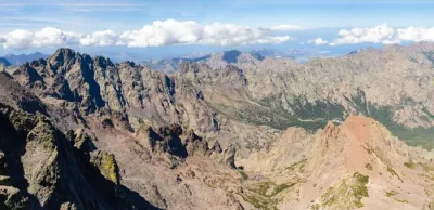
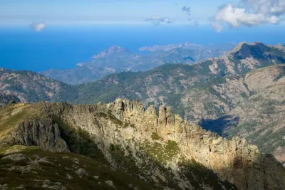
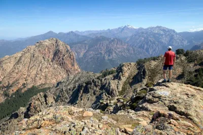
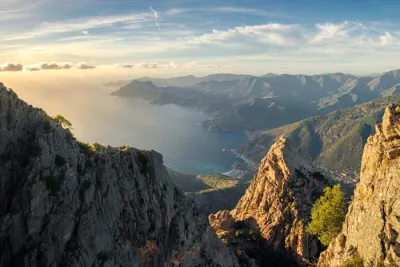
- Exceptional panoramic views from the summit, taking in the great Corsican massifs (Rotondo and Cinto), the lakes of Rinoso and Capitello, and even the Mediterranean Sea on a clear day
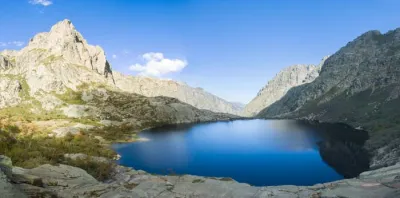
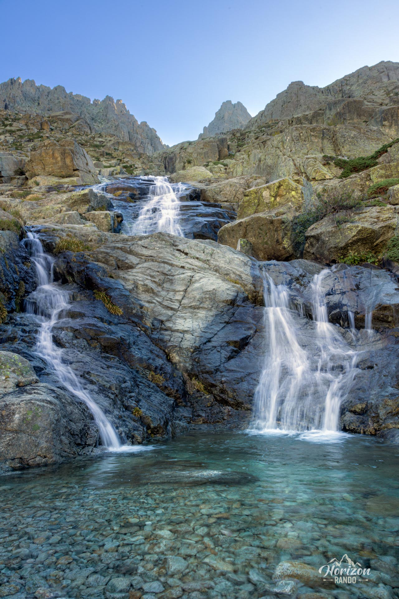
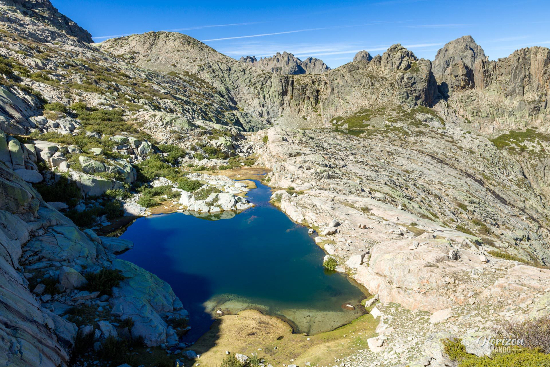
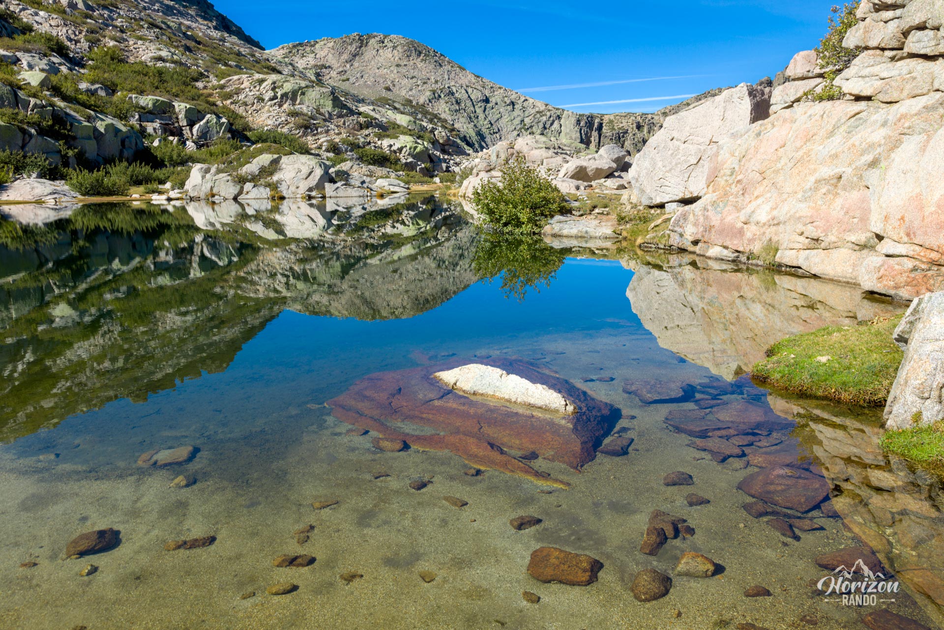
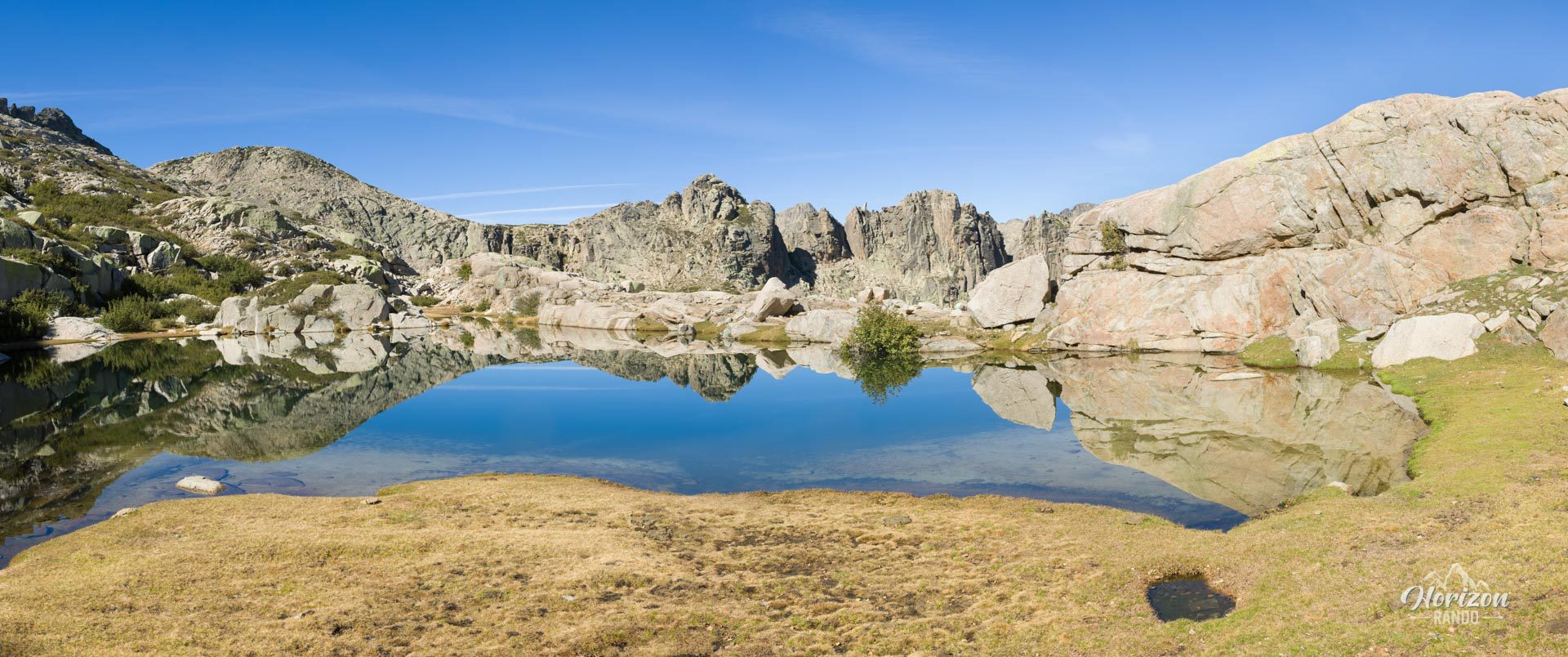
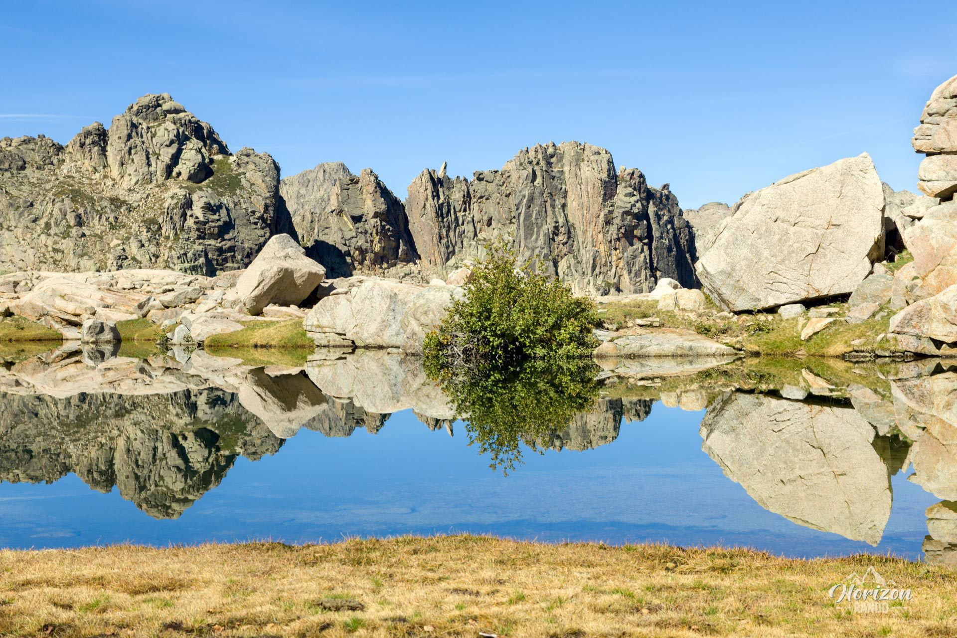
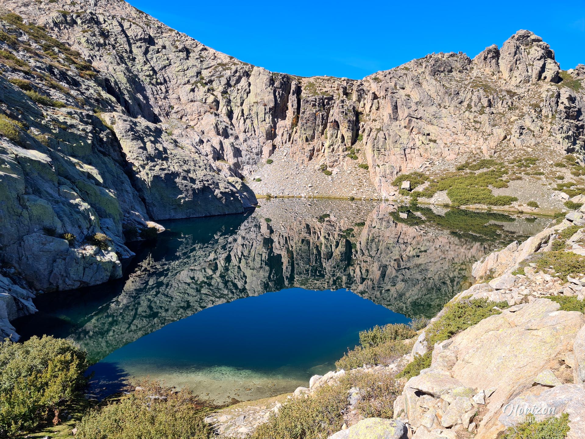
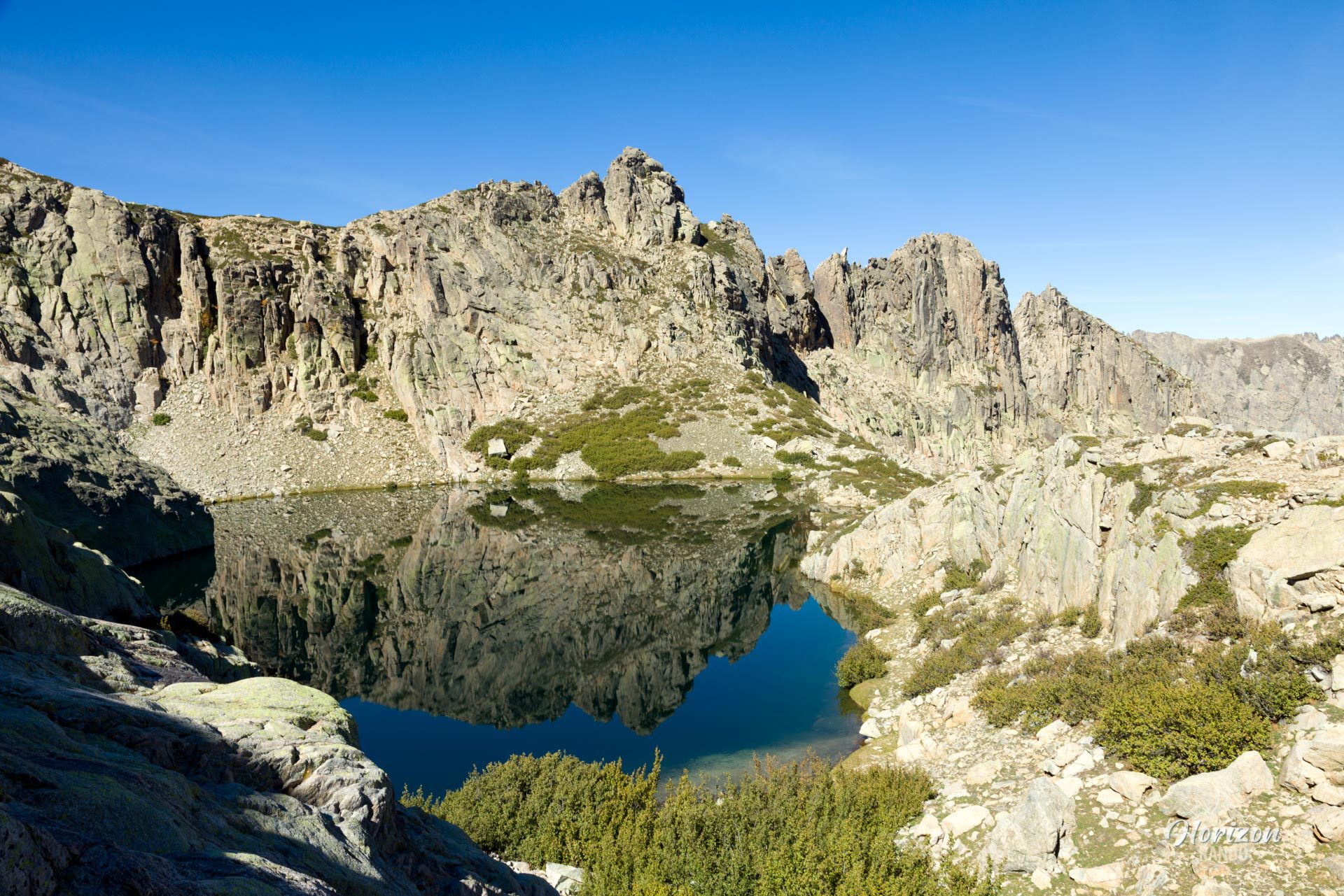
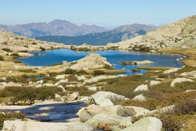
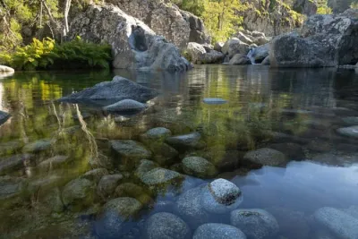
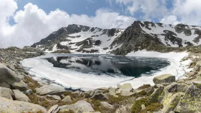
- The magnificent lakes of Rinoso, accessible via a short detour
- Experience a rare sense of adventure and solitude in the Restonica Valley
Practical information
Access
Since the November 2023 storms, the Restonica Valley road has been inaccessible by car beyond the Frasseta bridge. This considerably lengthens the hike.
Parking
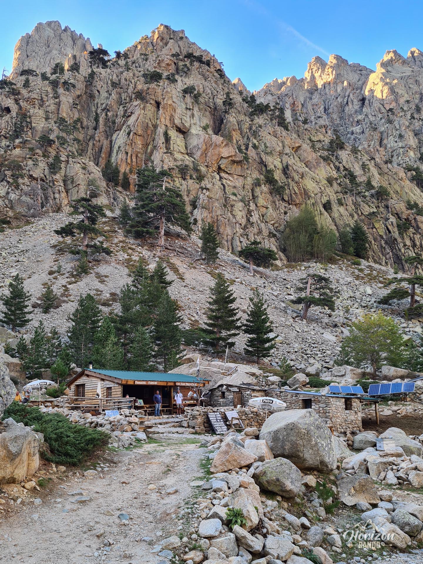
The hike starts from the Grotelle sheepfolds at the end of the Restonica Valley road (16 km from Corte). Parking is subject to a charge during the summer season (indicative price in 2025: €6 per car). A shuttle bus also runs to the valley from Corte, departing every half hour.
Technical alternative for the return journey
For very experienced hikers, it is possible to take a loop via the Cavacciole Valley on the return journey. Please note that this descent is much more technical than the classic route. The trail is sometimes difficult to find or nonexistent and includes a highly exposed rocky section. This option is only suitable for hikers with solid mountain experience (download the GPX route).
Photos
See all 20 photos →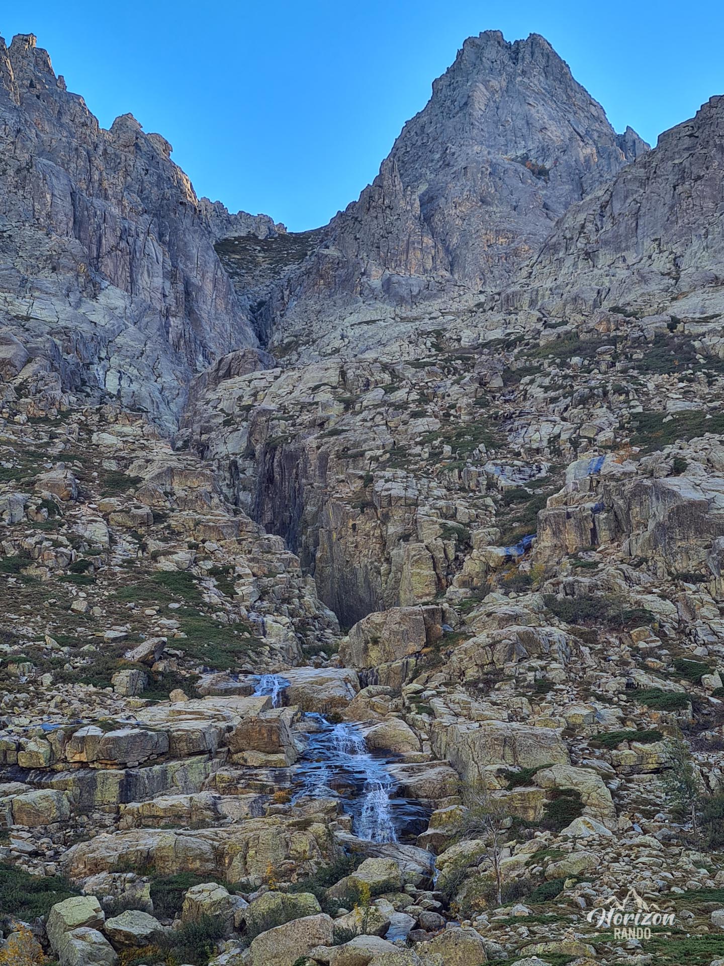
More hikes to do in Corsica
Nearby hikes







Printed from www.horizonrando.fr/en/corsica/a-maniccia/