





Monte Stello Hike
Key facts about the hike
- Difficulty
- Hard Hikes are rated from very easy to very hard: my difficulty scale
- Duration
- 5h30 Estimated time, short breaks included (photos, water, snacks), picnic not included: how it is calculated
- Distance
- 15.3km
- Elevation gain
- 1,070m
- Type of route
- Loop
- Maximum altitude
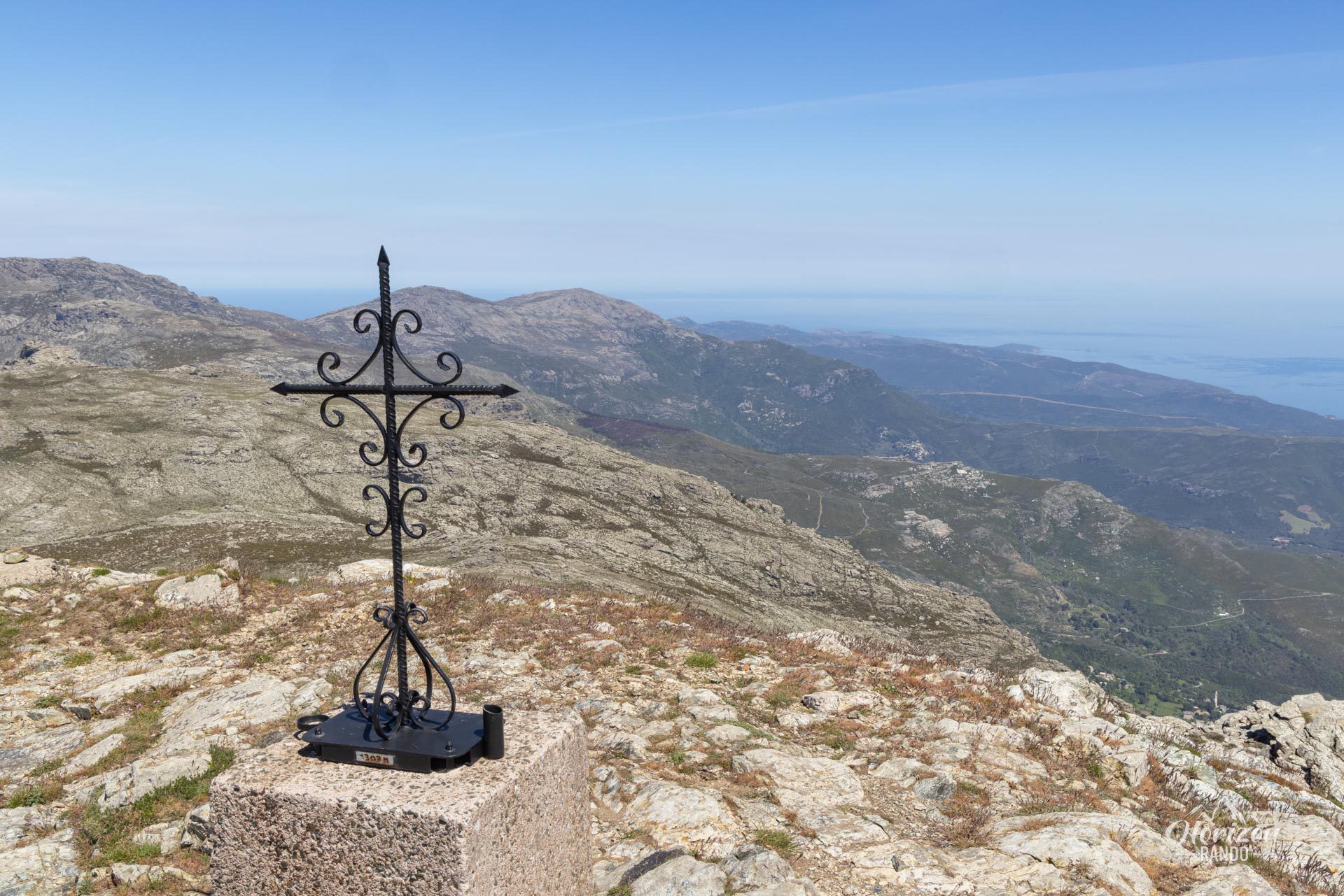
- 1,307 m
- Vertiginous Five levels, depending on how exposed the route is: the levels in detail
- Slightly
- Marked
- Partially
- Popularity
- Low
- Region
- Cap Corse
- Start point
- 42.77065, 9.45846
- Activity
- Hiking
Hike overview
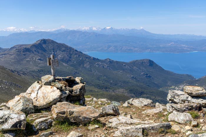
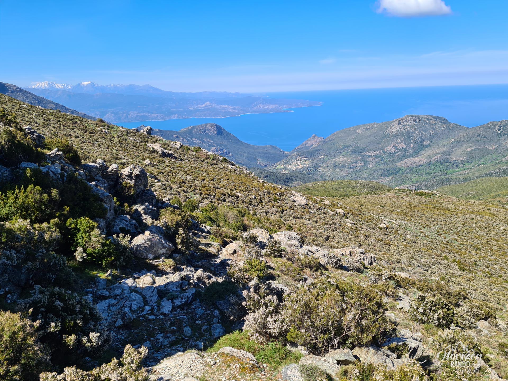
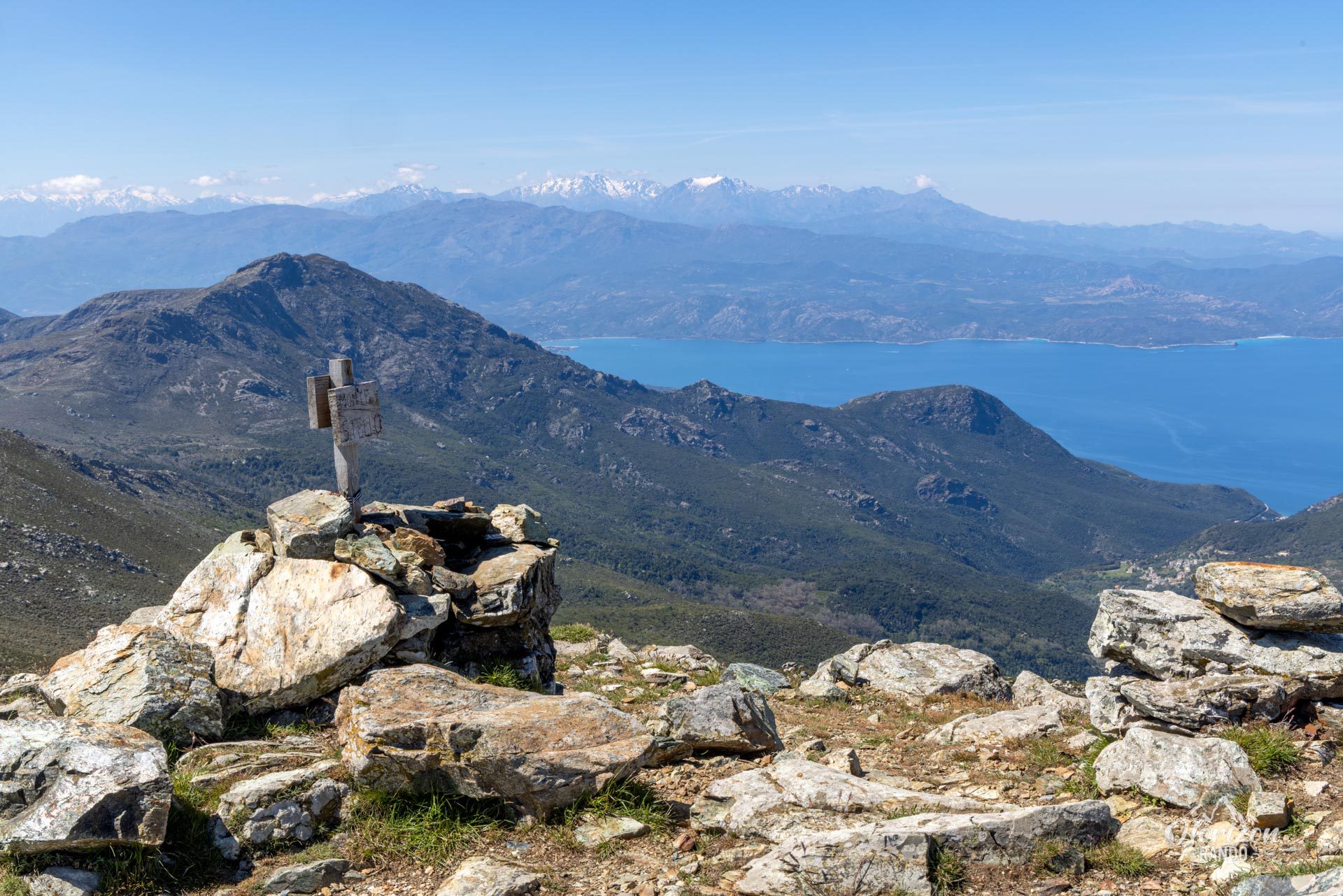
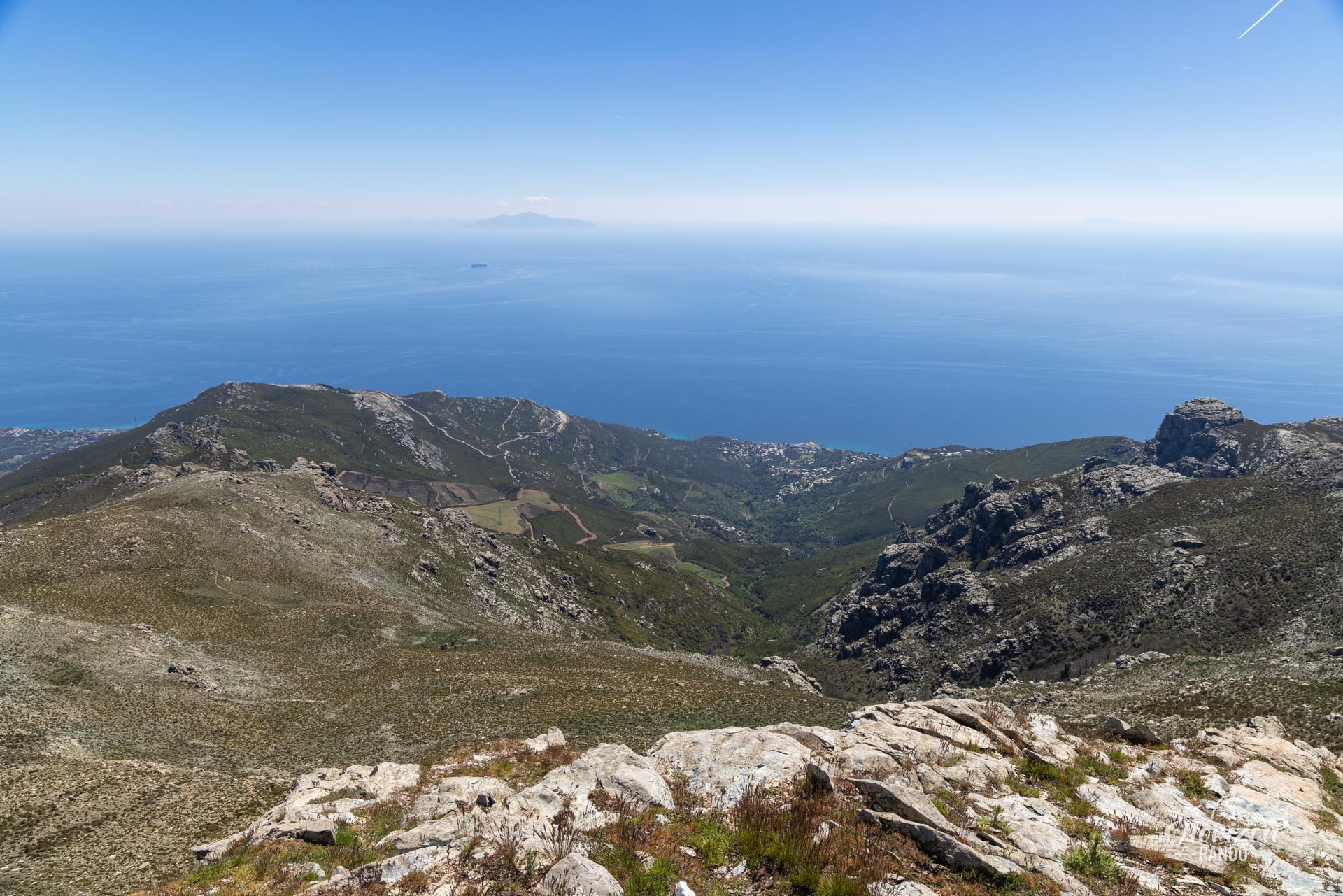
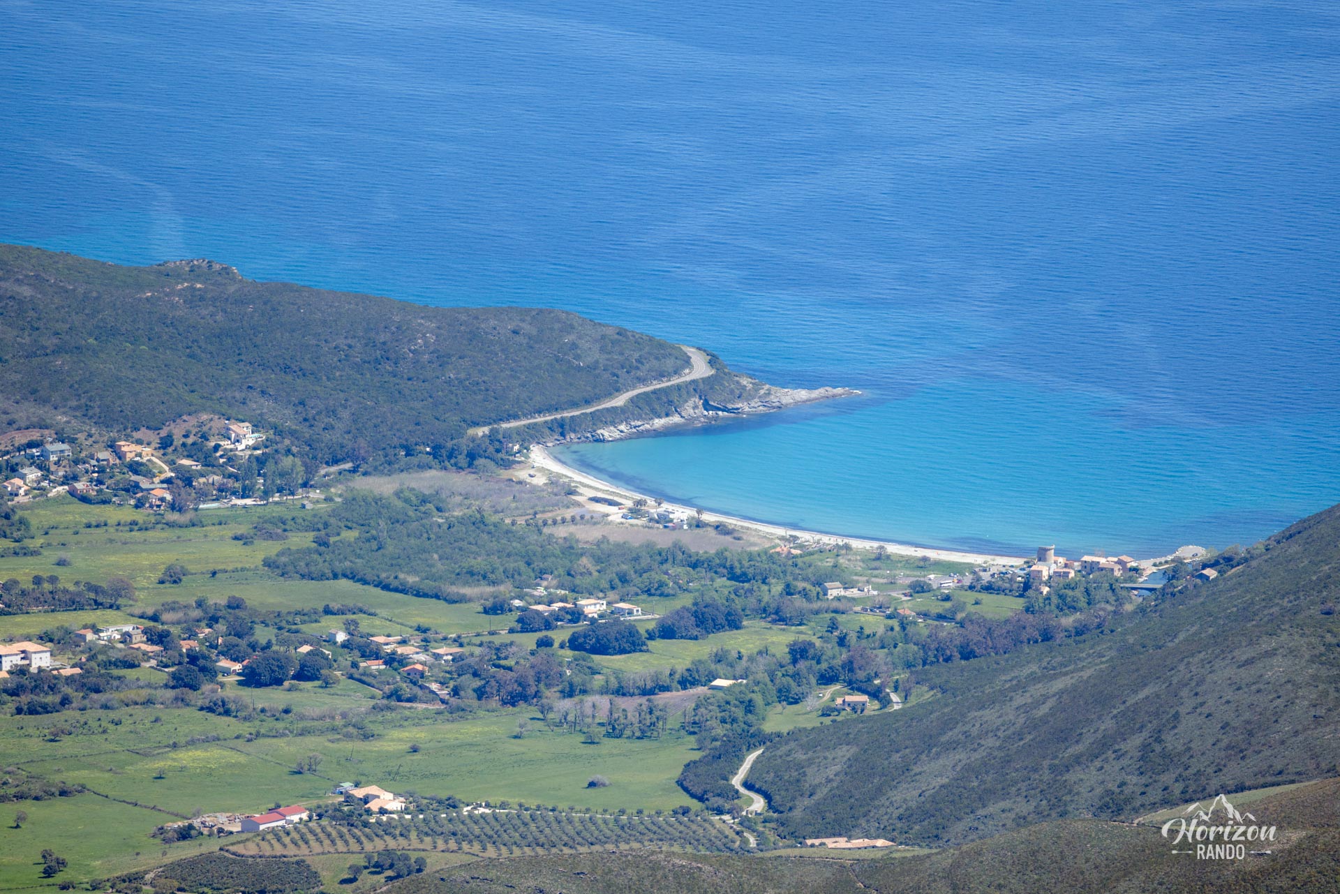
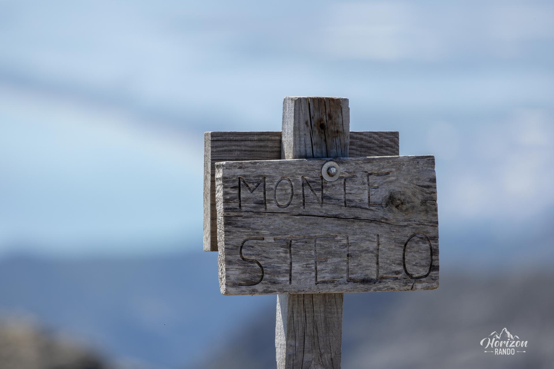
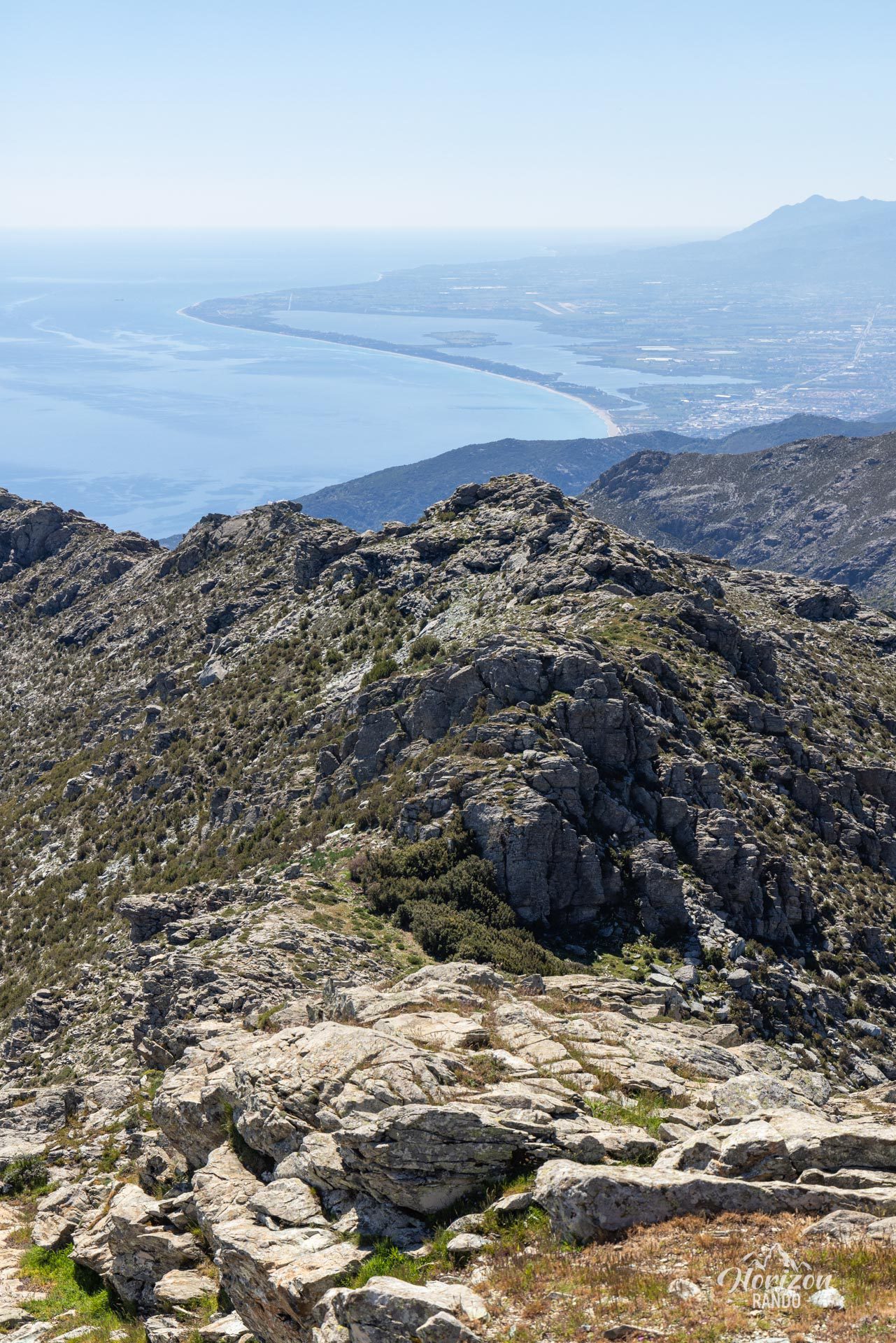
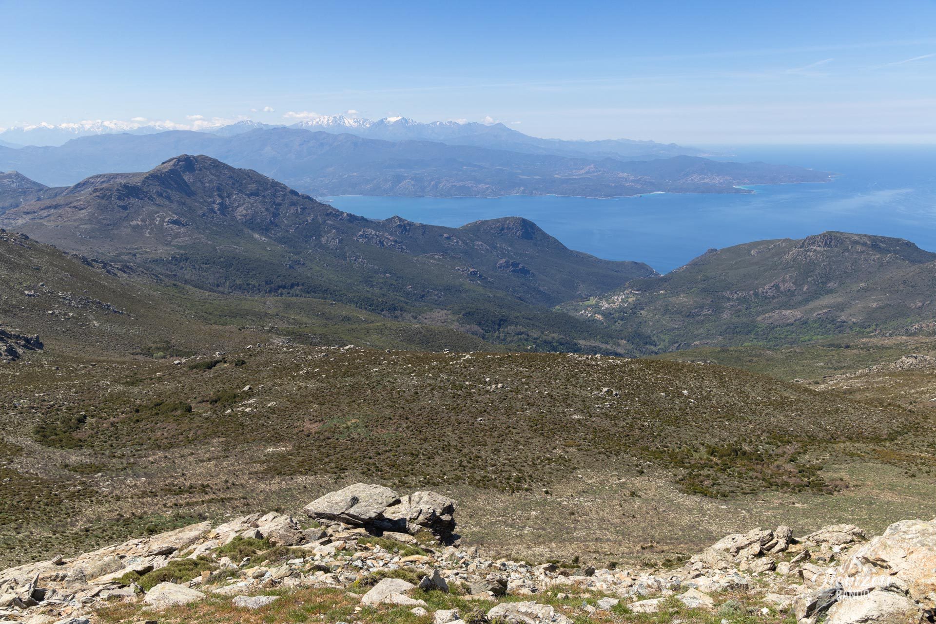
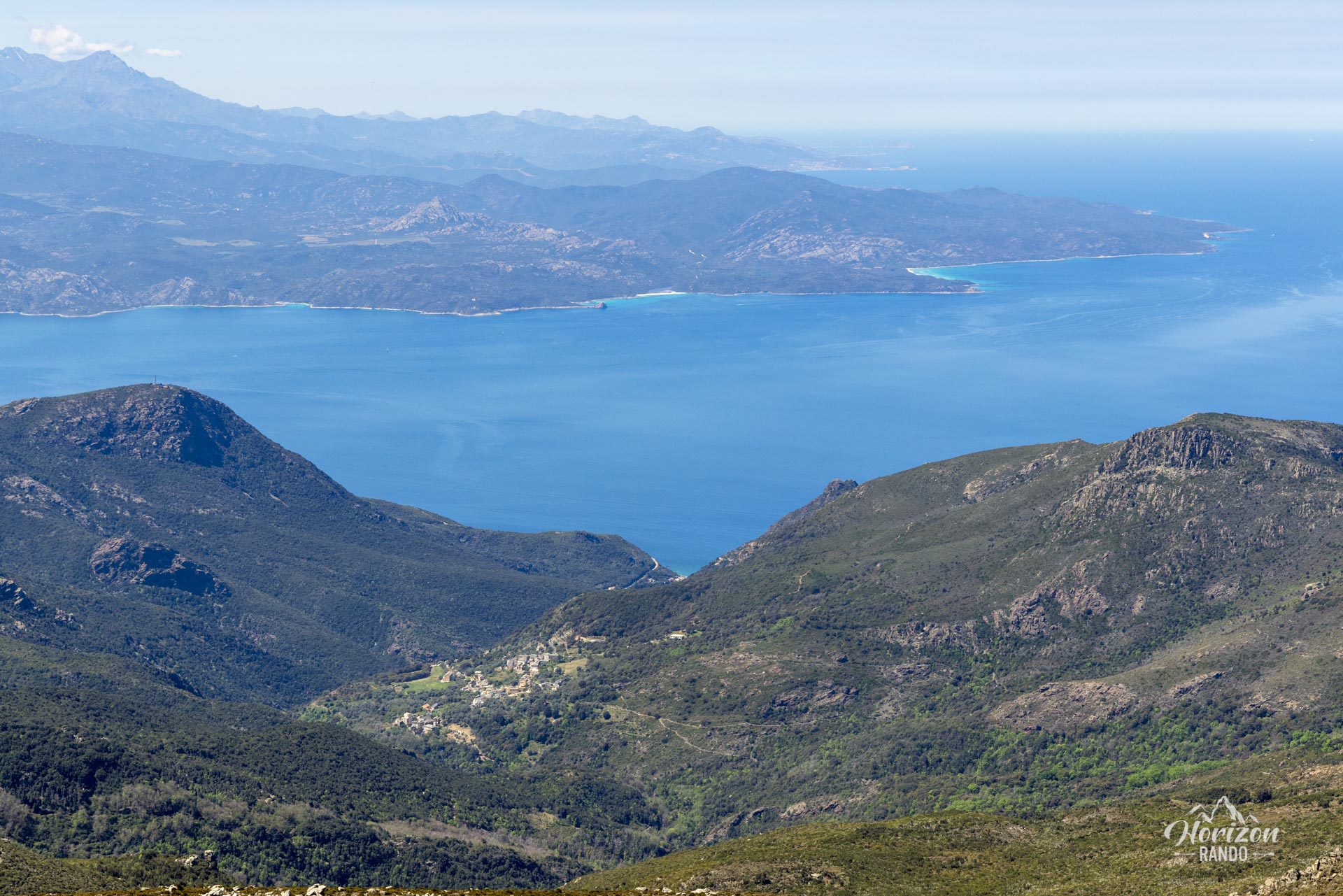
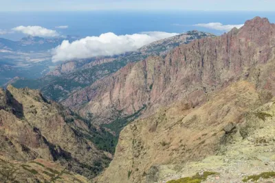
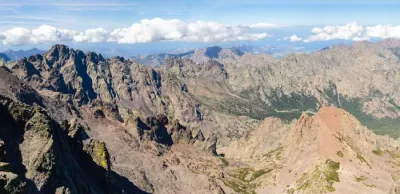
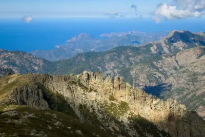
At 1,307 meters, Monte Stello is the second-highest peak in Cap Corse, surpassed only by Cima di e Follicine, which is a few meters higher. From the summit, you can enjoy a remarkably clear panoramic view of the entire Cap Corse, with its two slopes plunging into the sea, the Gulf of Saint-Florent and the Agriates Desert to the west. On a clear day, you can see as far as the Cinto Massif to the south and the island of Elba to the east. This challenging hike is one of the most beautiful in Cap Corse, offering stunning views from the outset.
Map and elevation profile of the hike
Monte Stello Hike
Description and difficulties of the hike
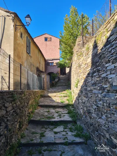
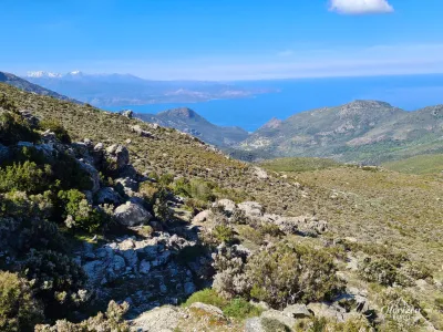
The ascent of Monte Stello is physically demanding, with 1,070 meters of elevation gain spread over 15 kilometers. As soon as you leave the village of Pozzo, the climb is steady and consistent, taking you through the maquis on a rocky, stony trail. An important point to bear in mind is that the total absence of shade on the route makes this hike particularly challenging in the summer.
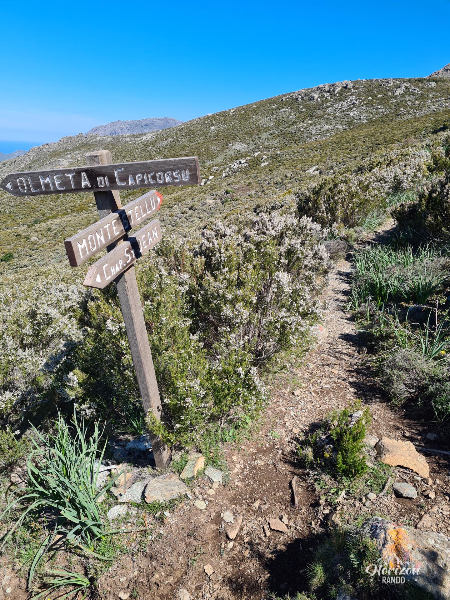
If you choose to hike clockwise, you will find regular orange markings along the trail during the ascent. These markings will guide you to the Bocca di Santa Maria (1,097 m) and then to the summit. The descent via Silgaggia, on the other hand, presents significantly greater orientation difficulties. The yellow markings are sporadic, there are numerous crossroads, and the trail sometimes disappears into the vegetation or under the scree. The last two kilometers are along the departmental road.
Recommendation: Without a GPS, it is best to return via the same route to avoid getting lost on the descent.
What you'll love
- The wide-open panorama from the summit, taking in both sides of Cap Corse
- The view of the Bastia metropolitan area, the Biguglia lagoon, and the east coast of Cap Corse, with its picturesque marinas, such as Pietracorbara and Erbalunga
- Few hikers, which allows you to enjoy the beauty of Corsica in complete tranquility
Photos
See all 11 photos →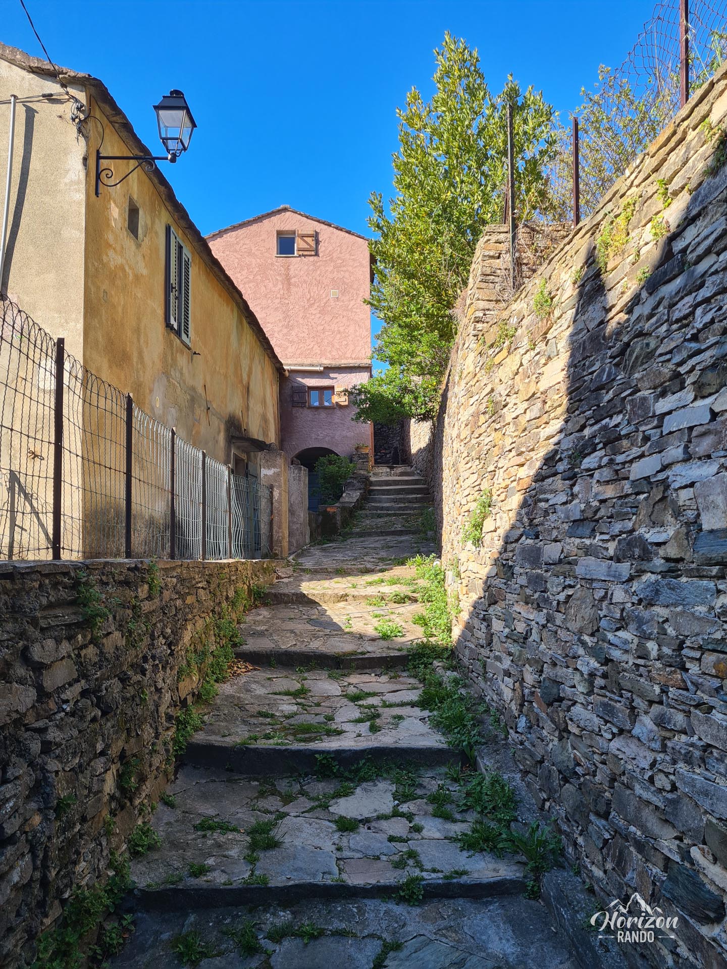
More hikes to do in Corsica
Nearby hikes







Printed from www.horizonrando.fr/en/corsica/monte-stello/