





Cima di Gratera Hike
Key facts about the hike
- Difficulty
- Moderate Hikes are rated from very easy to very hard: my difficulty scale
- Duration
- 4h Estimated time, short breaks included (photos, water, snacks), picnic not included: how it is calculated
- Distance
- 9.9km
- out and back
- Elevation gain
- 460m
- Type of route
- Out and back
- Maximum altitude
- 1,024 m
- Vertiginous Five levels, depending on how exposed the route is: the levels in detail
- No
- Marked
- Partially
- Popularity
- Low
- Region
- Cap Corse
- Start point
- 42.69764, 9.40040
- Activity
- Hiking
Hike overview
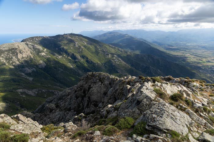
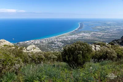
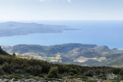
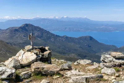
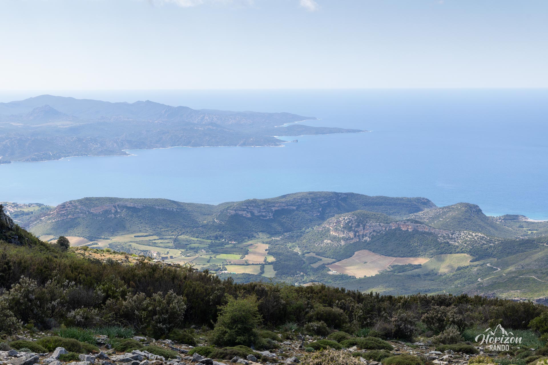
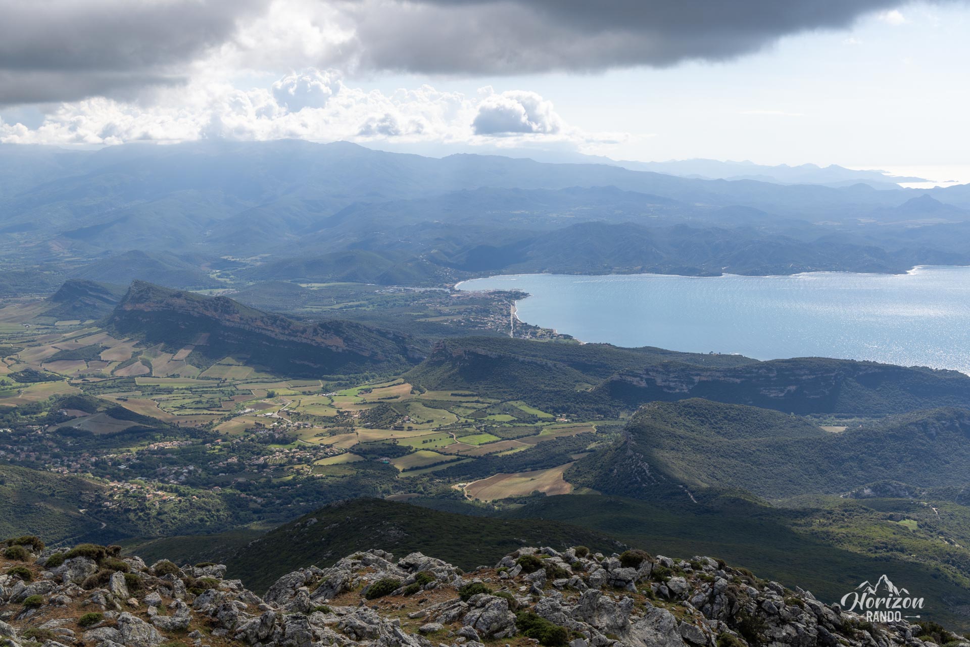
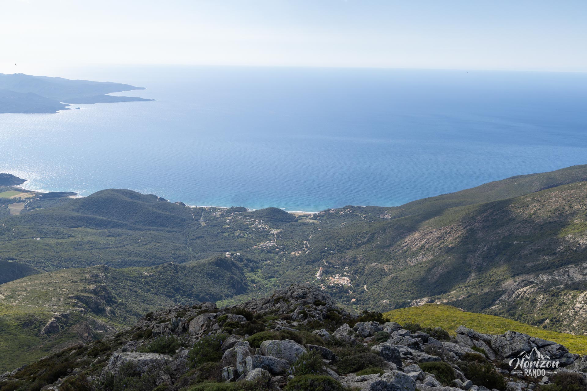
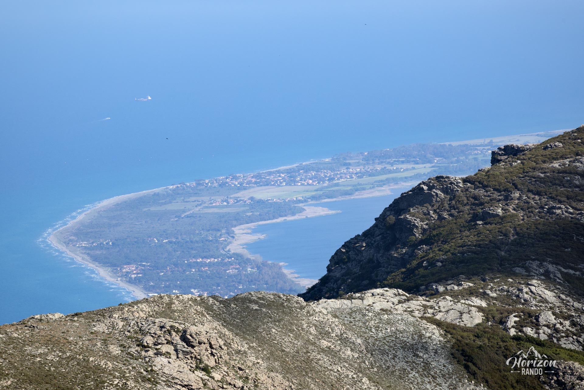
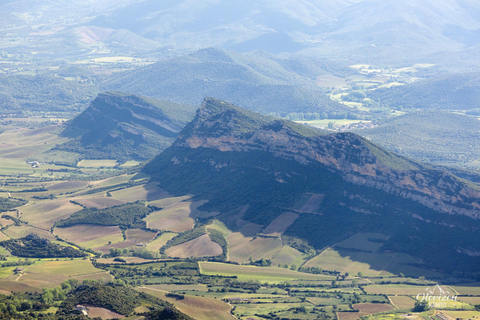
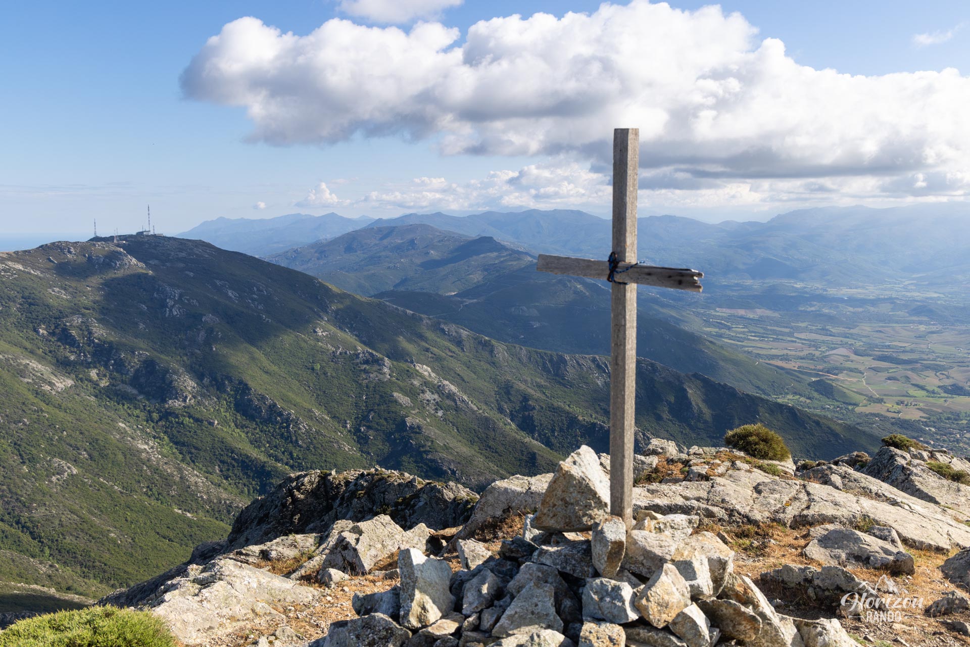
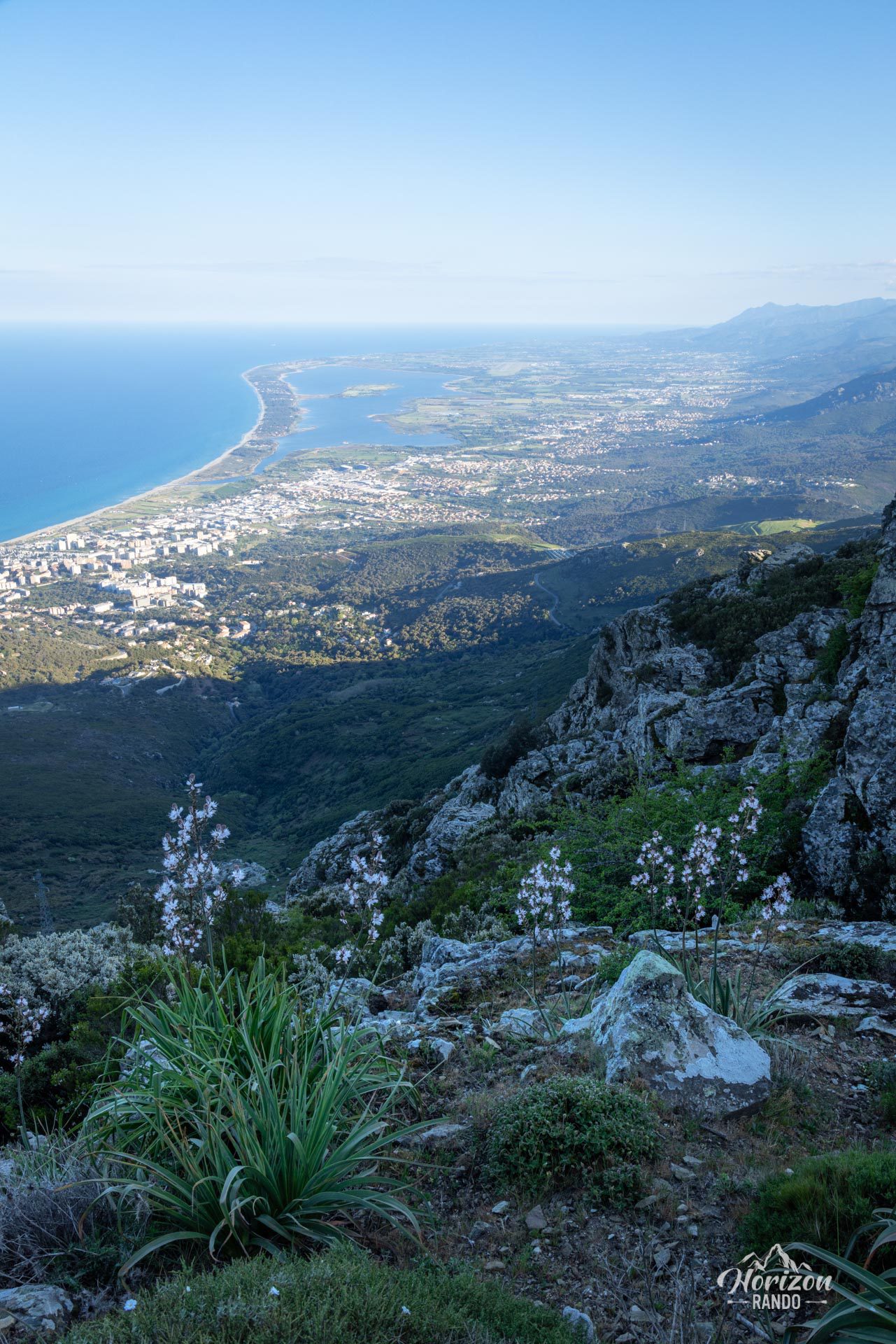
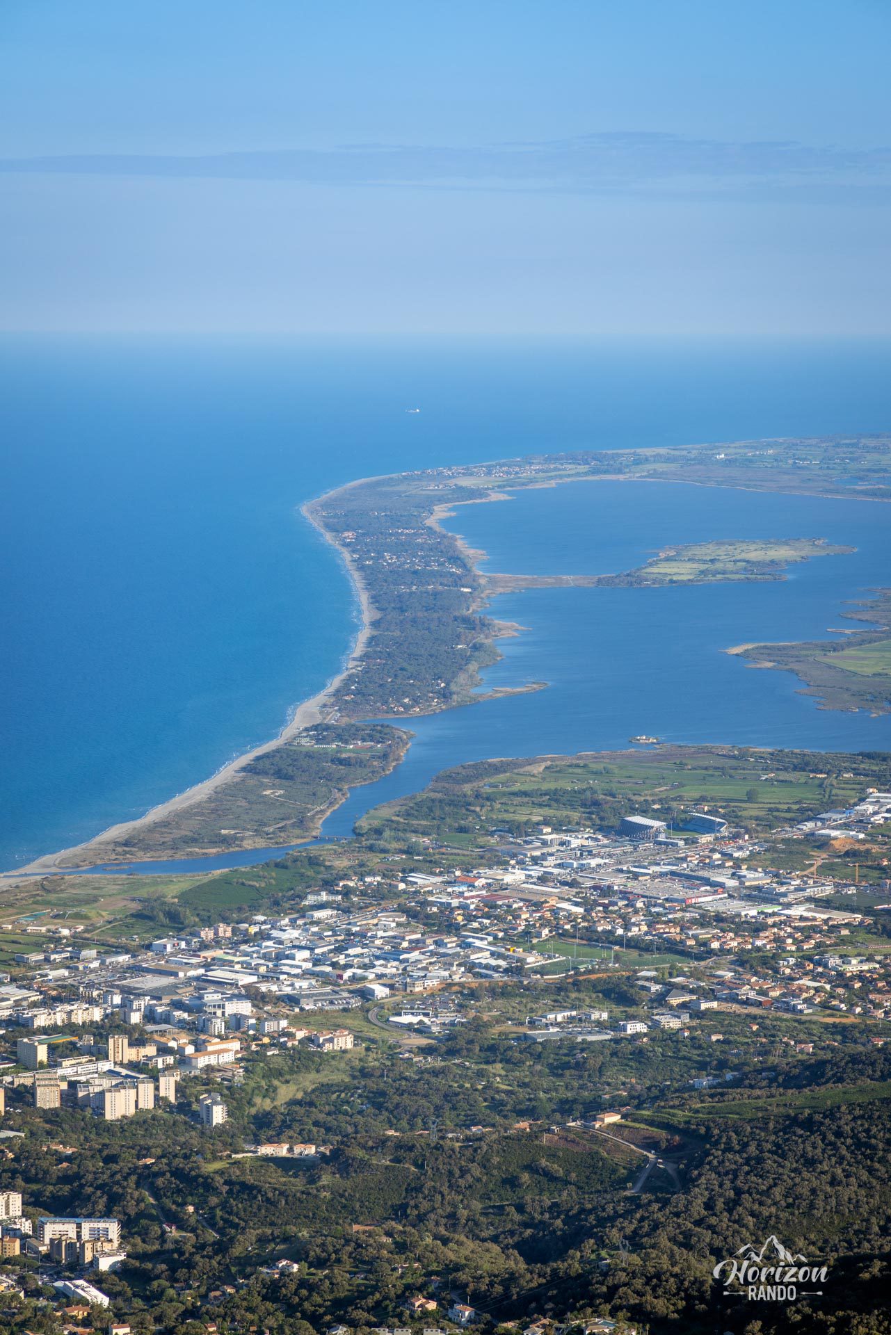
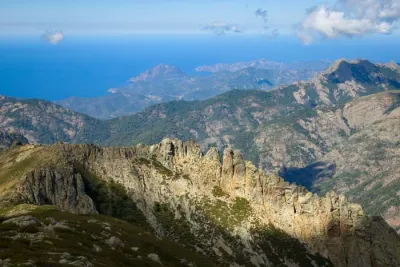
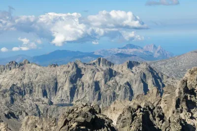
The Cima di Gratera hike leads to a 1,024-meter peak in Cap Corse, offering an exceptional 360-degree panorama. From this vantage point, hikers can see the Gulf of Saint-Florent to the west, the city of Bastia and the Biguglia lagoon to the east, and on a clear day, the Tuscan Islands.
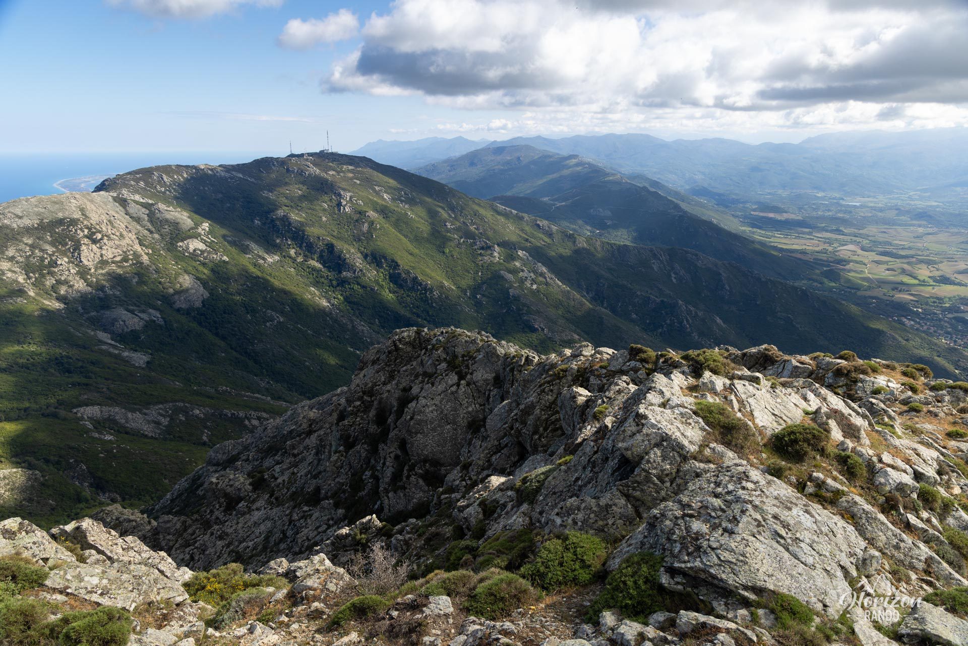
The route follows the Barbaggio ridge trail through a rocky, open environment typical of Corsican peaks. With a slight detour, you can also explore the remains of the old Cardo ice houses, which are evidence of a Genoese industry dating back to the 16th and 17th centuries.
Map and elevation profile of the hike
Cima di Gratera Hike
Difficulties of the hike
The route follows a well-defined trail along the ridges for most of the way. Red markings are intermittent, but cairns supplement the signage, especially in the final part of the ascent. The hike takes place entirely in the sun, with no shade, which can make it challenging in hot weather.
What you'll love
- The magnificent 360-degree panorama from the summit: Views of the Gulf of Saint-Florent, Bastia, the Biguglia lagoon, the ridges of Cap Corse, and, on a clear day, the Tuscan Islands and the Italian coast.
- The opportunity to explore the remains of the ancient Cardo ice houses, a short detour bearing witness to the Genoese era of the 16th and 17th centuries.
- The low number of visitors to the area, which guarantees peace and quiet.
Practical information
Access
A sign indicates that the last four kilometers of road between the Teghime Pass and the Pigno antennas are private and dangerous. However, hikers seem to be tolerated on this road, which does not present any particular difficulties. Nevertheless, it is advisable to exercise caution.
Photos
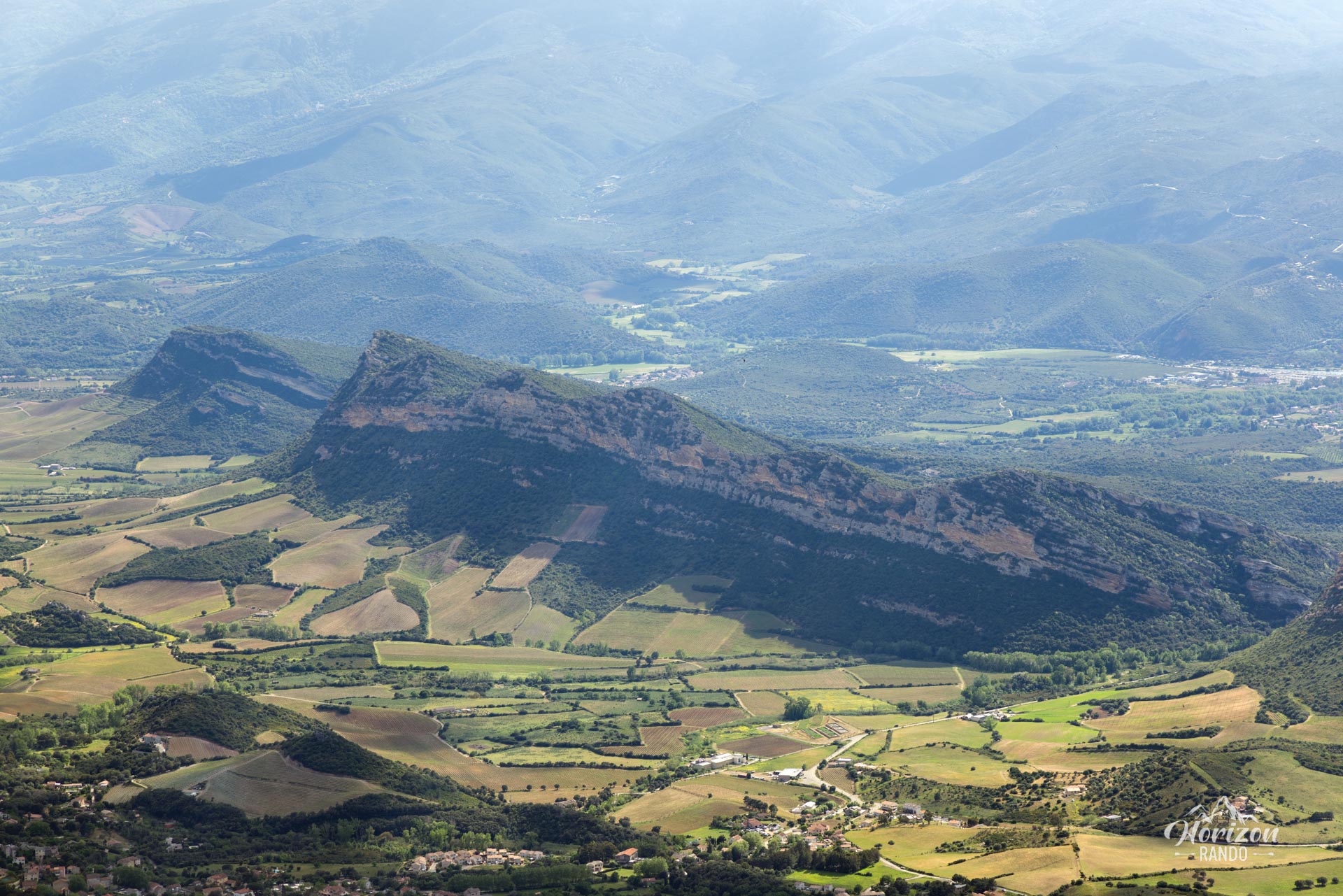
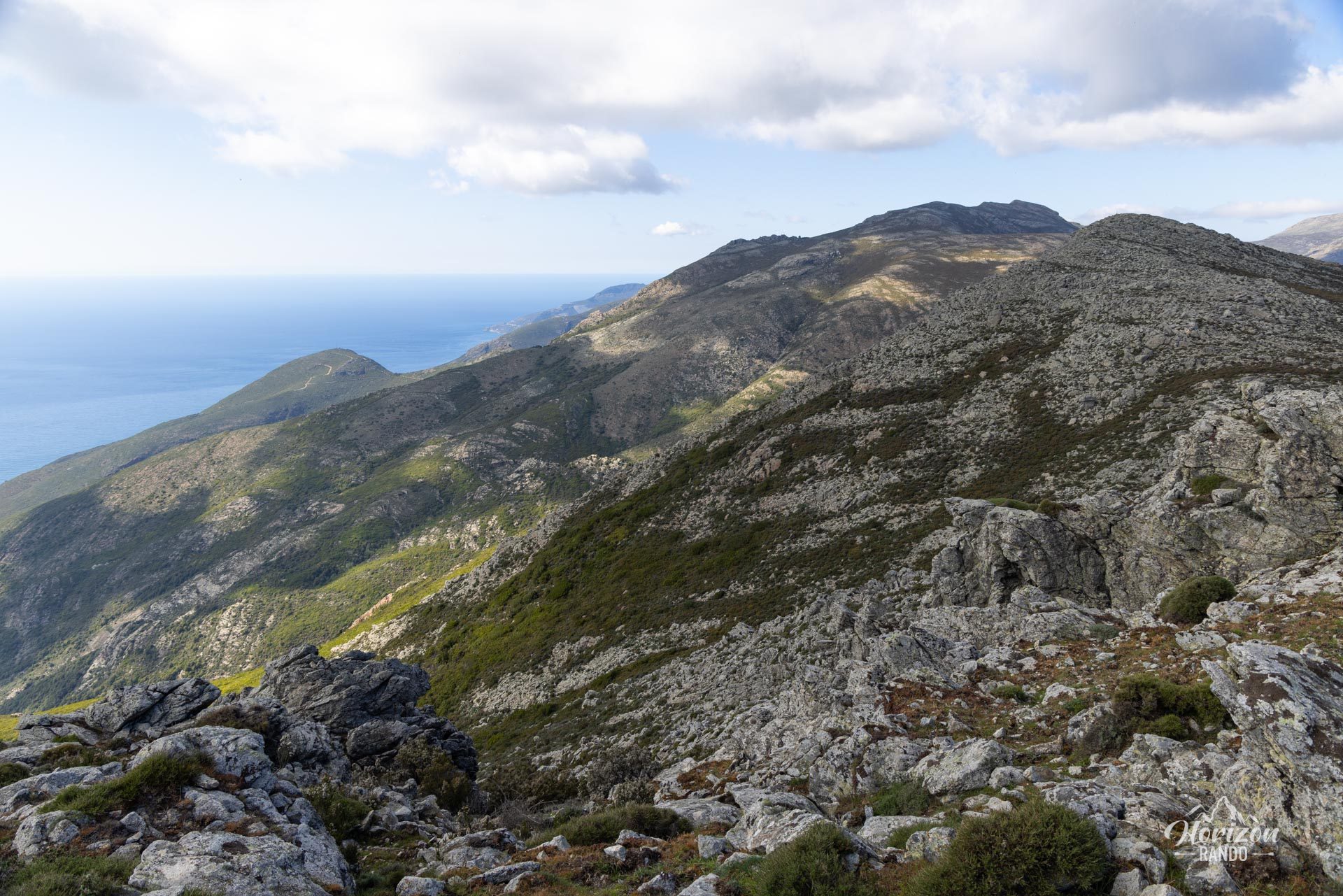
See all 12 photos →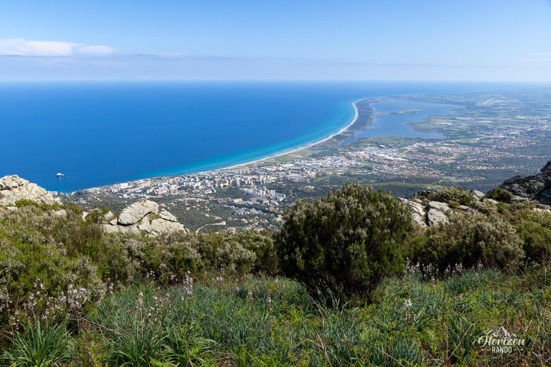
More hikes to do in Corsica
Nearby hikes







Printed from www.horizonrando.fr/en/corsica/cima-di-gratera/