





Customs path Hike
Key facts about the hike
- Difficulty
- Moderate Hikes are rated from very easy to very hard: my difficulty scale
- Duration
- 4h Estimated time, short breaks included (photos, water, snacks), picnic not included: how it is calculated
- Distance
- 11.7km
- Elevation gain
- 360m
- Type of route
- One way
- Maximum altitude
- 130 m
- Vertiginous Five levels, depending on how exposed the route is: the levels in detail
- No
- Marked
- Yes
- Popularity
- Moderate
- Region
- Cap Corse
- Start point
- 42.96440, 9.45167
- Activity
- Hiking
Hike overview
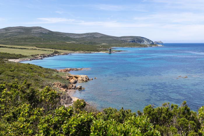
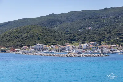
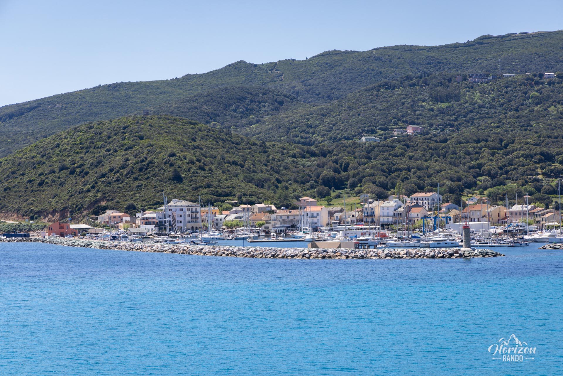
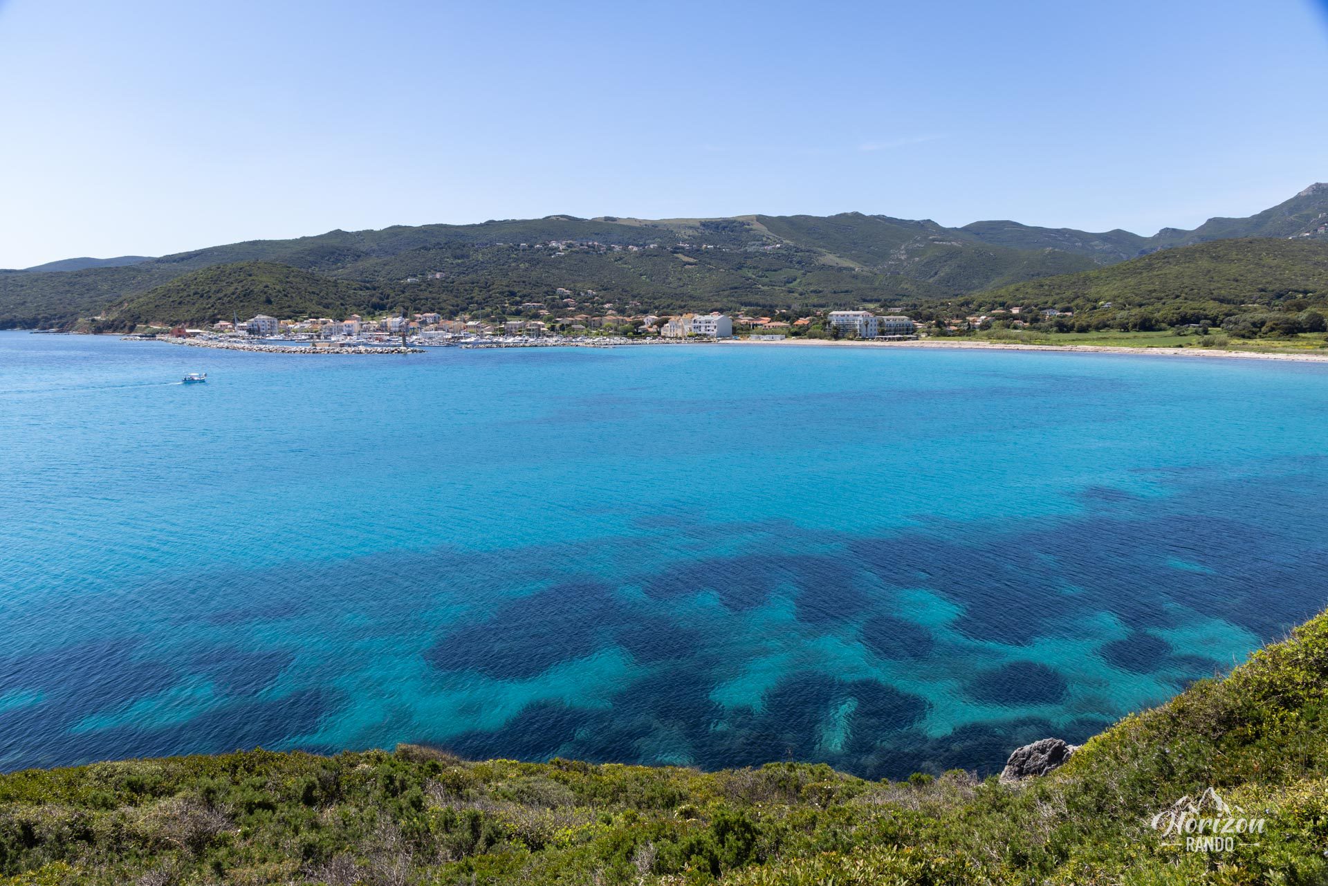
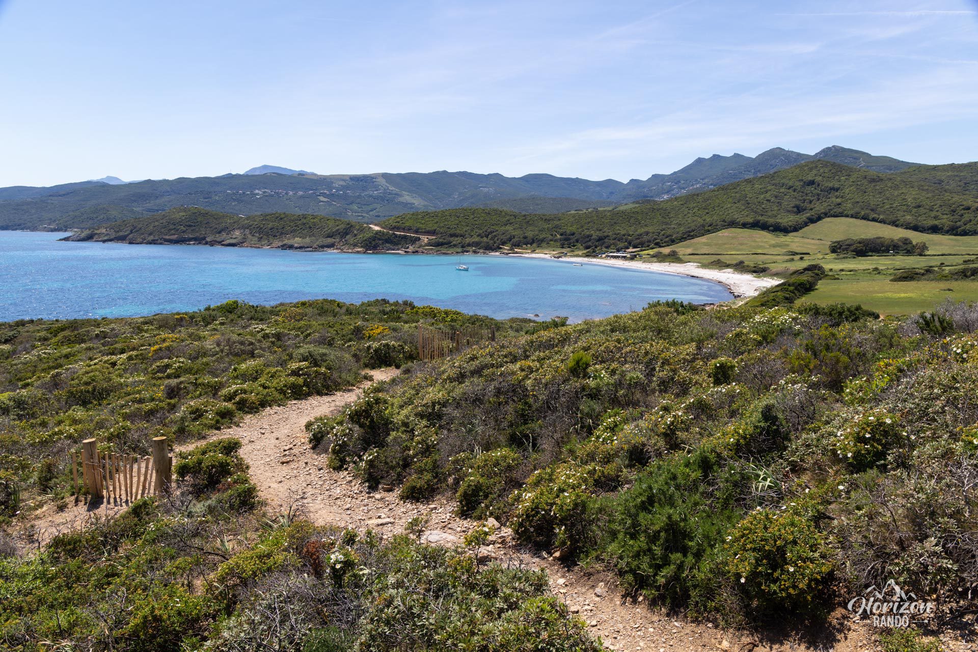
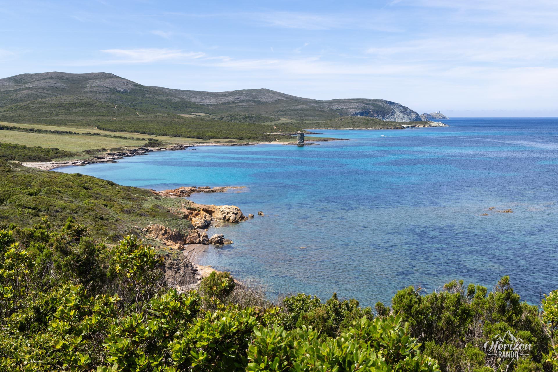
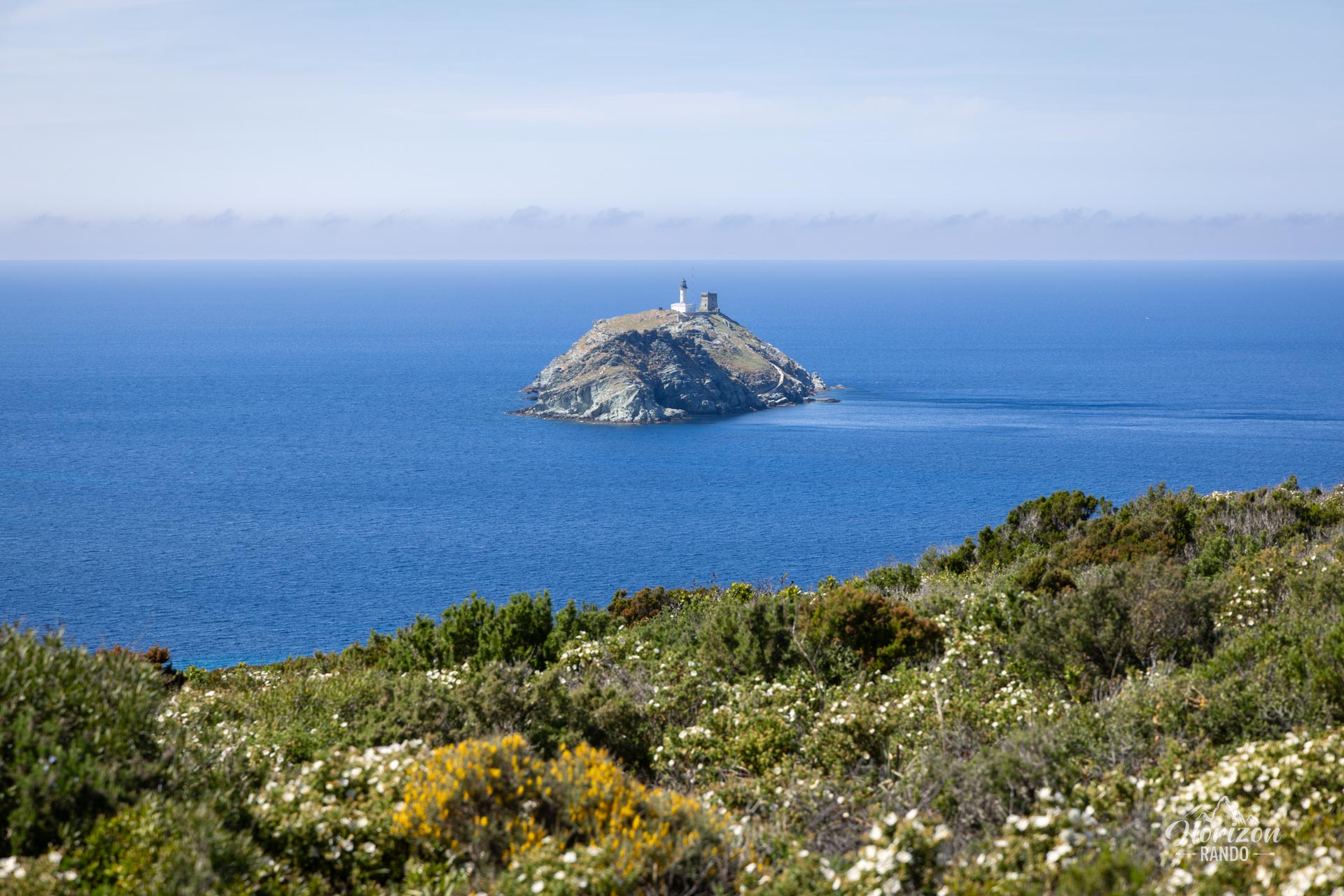
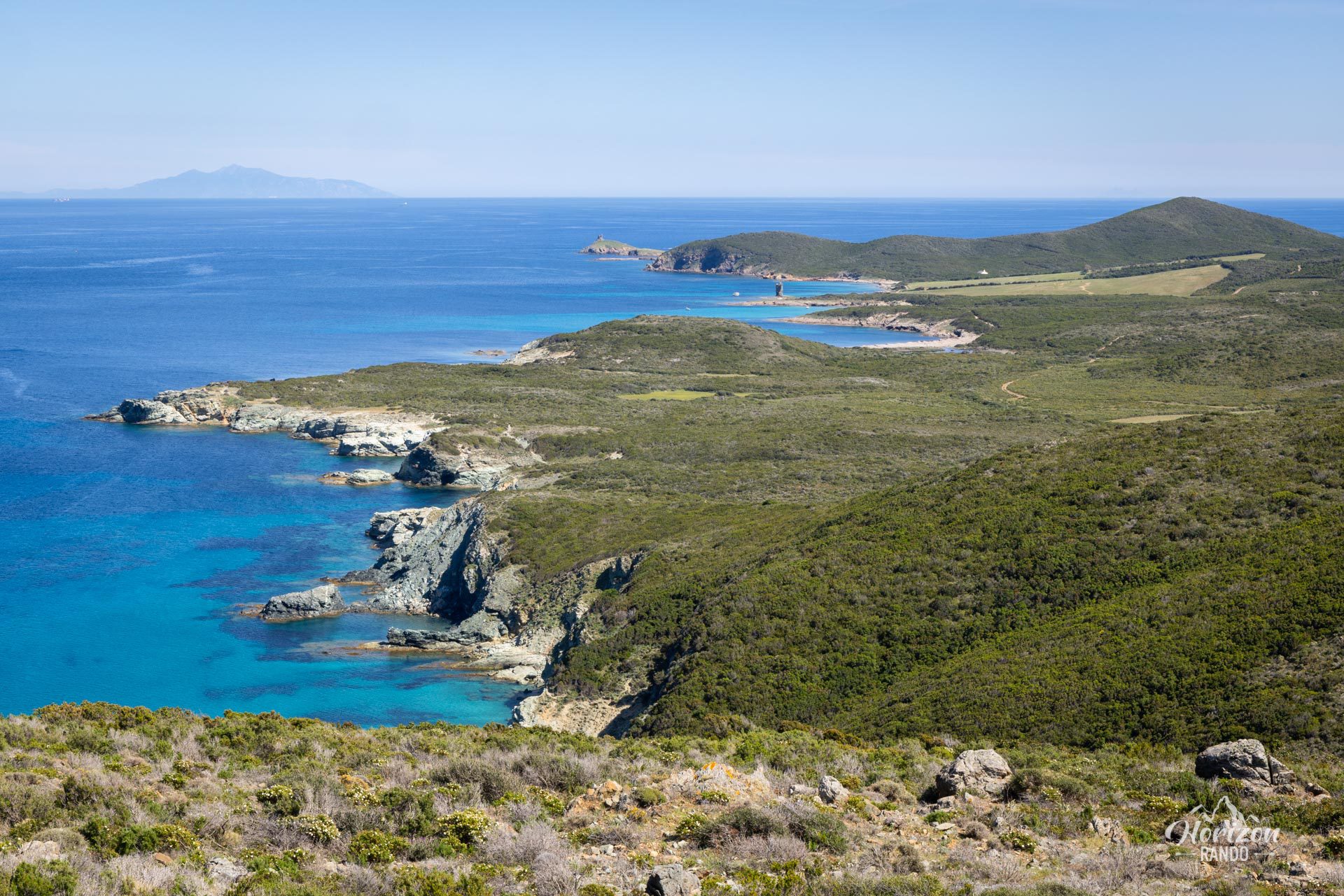
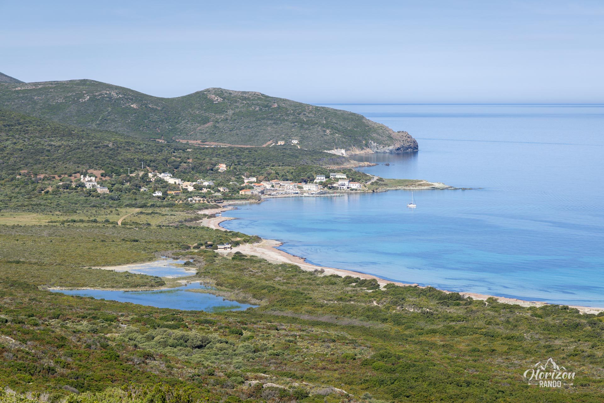
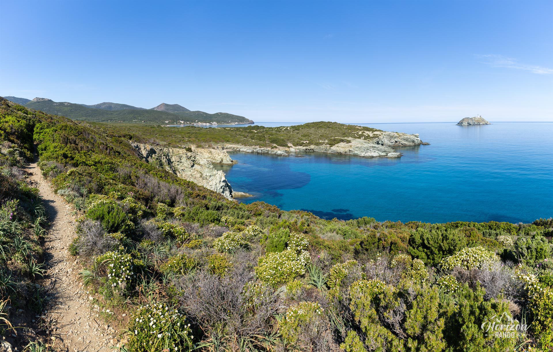
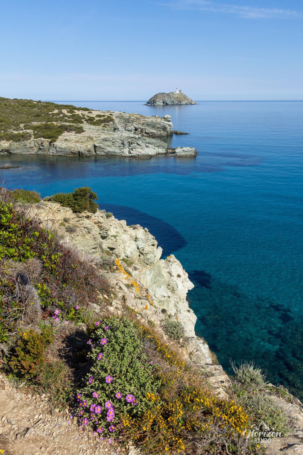
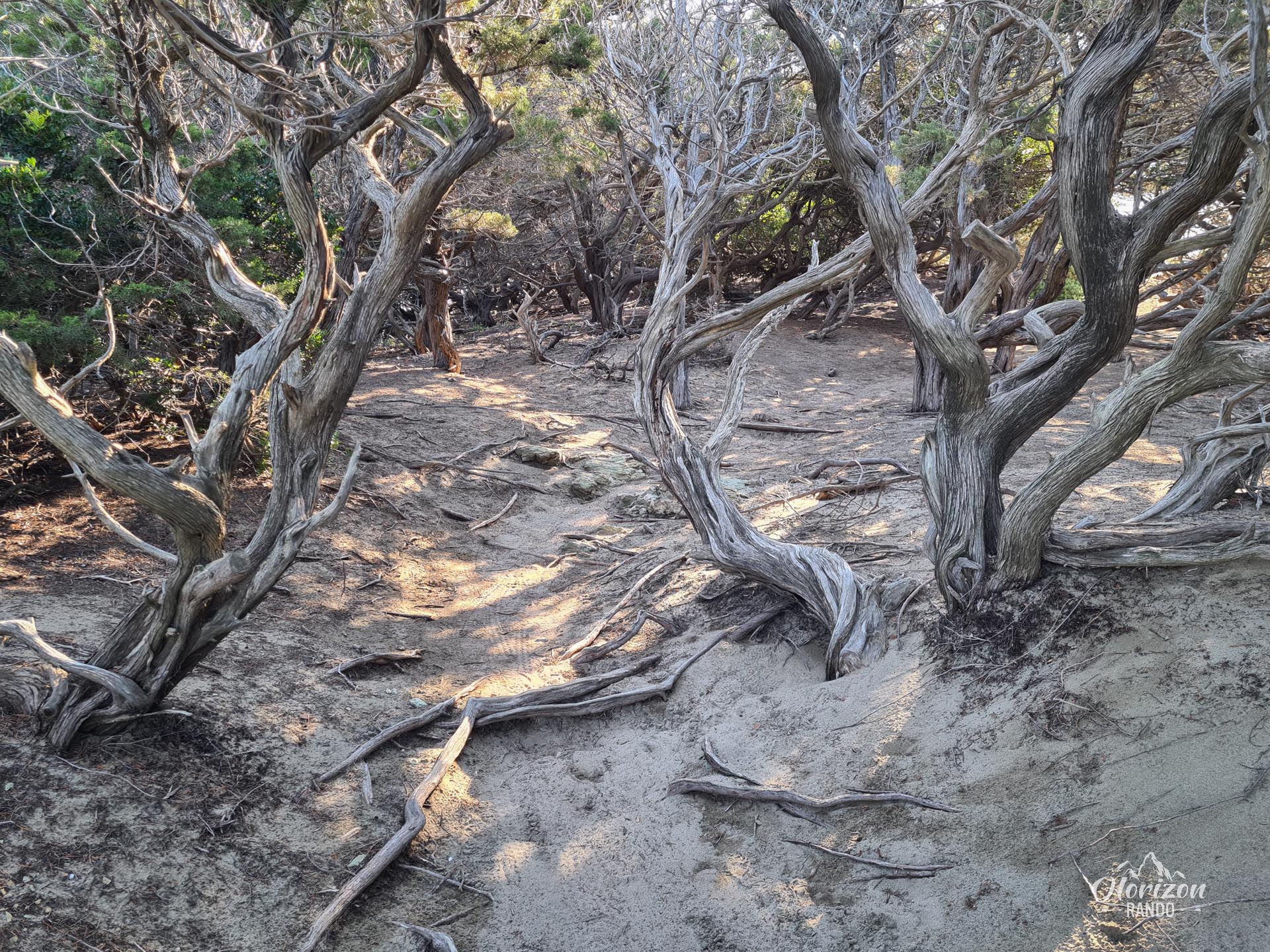
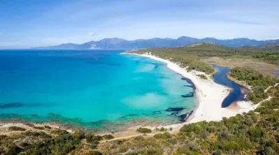
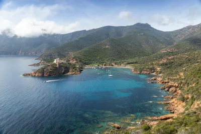
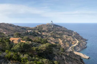
The Sentier des Douaniers (Customs Officers' Path) runs from Macinaggio to Barcaggio along the rugged coast of Cap Corse. This route passes through an extraordinary landscape of white sandy beaches, aromatic scrubland, and Genoese towers. The route offers spectacular views of the Finocchiarola and Giraglia islands, as well as the coastline against the backdrop of the turquoise Mediterranean Sea.
Map and elevation profile of the hike
Customs path Hike
Difficulties of the hike
This marked trail does not present any notable technical challenges. The only significant elevation gain occurs after Capandola Bay, where the trail climbs 130 meters to cross a pass before descending toward the Agnello Tower.
Although the route is accessible, the lack of shade and constant sun exposure make this long walk challenging. Good stamina is therefore essential.
What you'll love
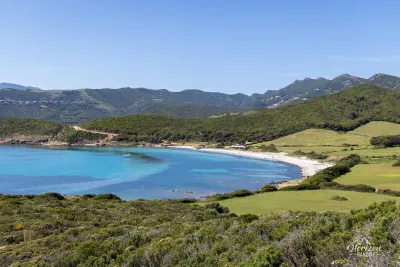
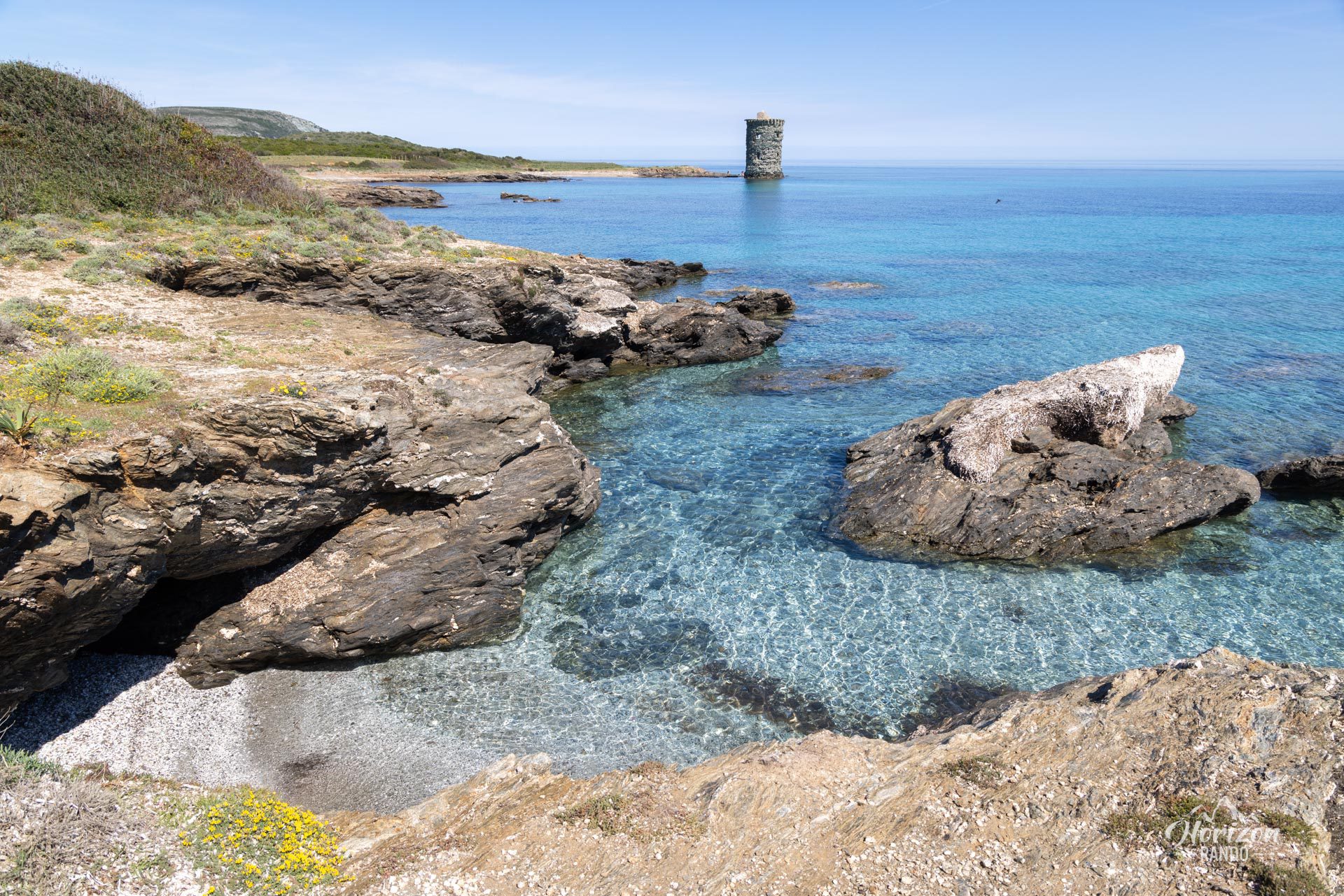
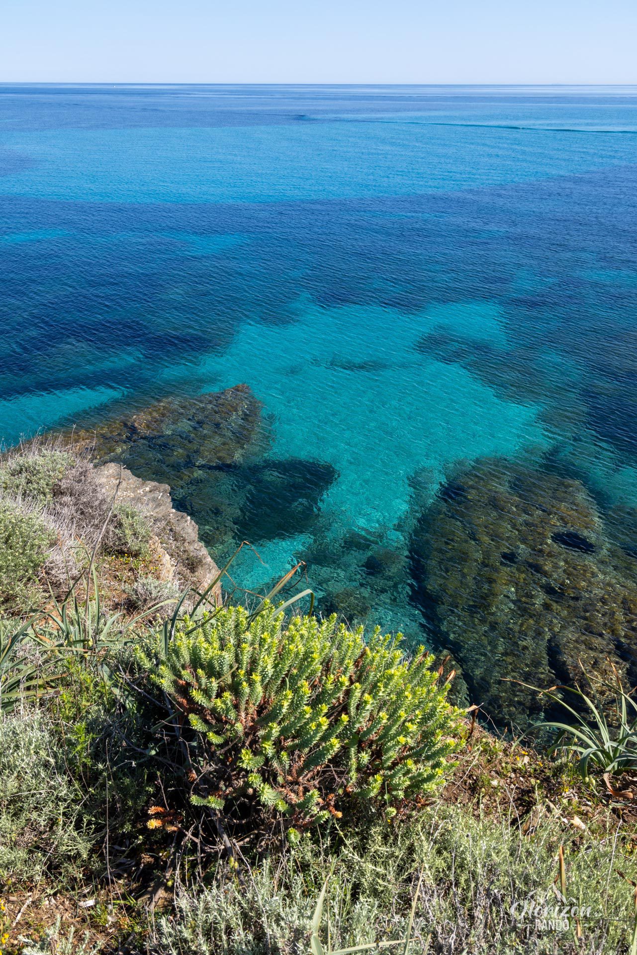
- The succession of idyllic beaches with crystal-clear waters: Tamarone, Cala Genovese, and Cala Francese, where you can swim along the way.
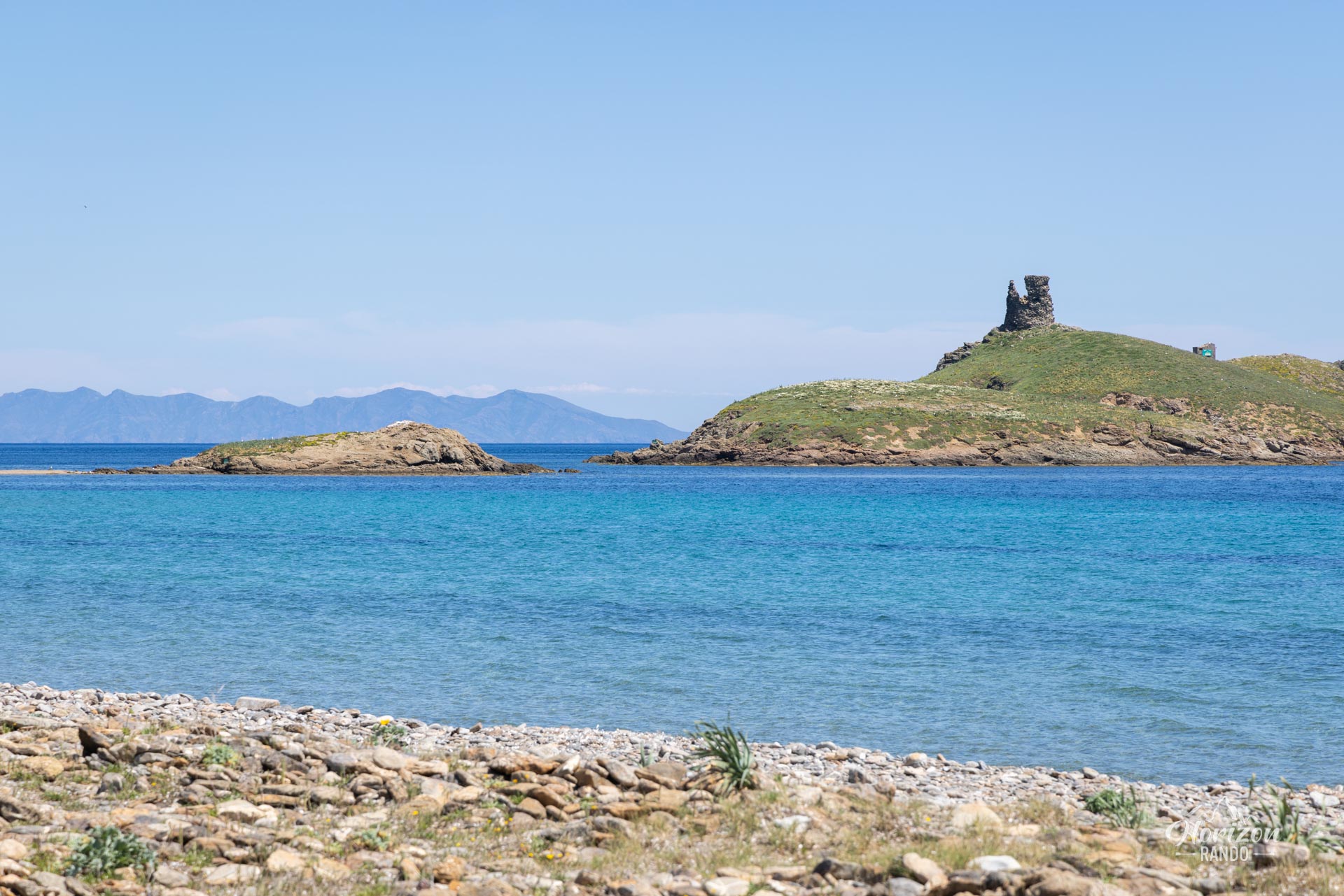
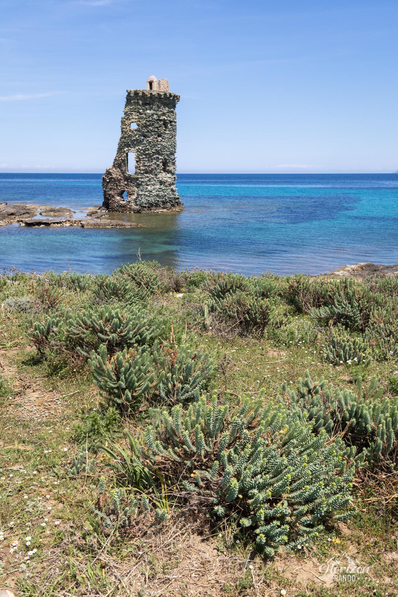
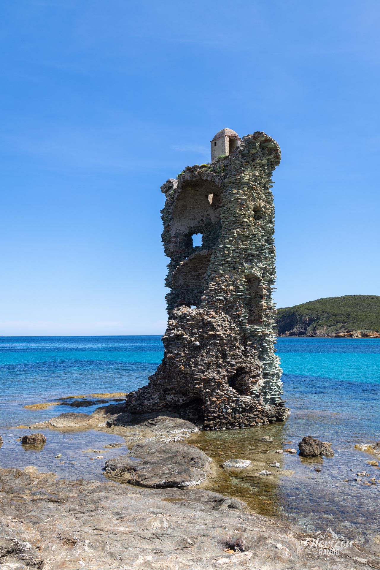
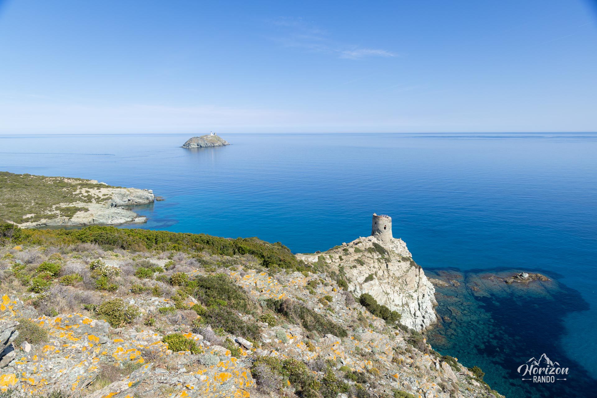
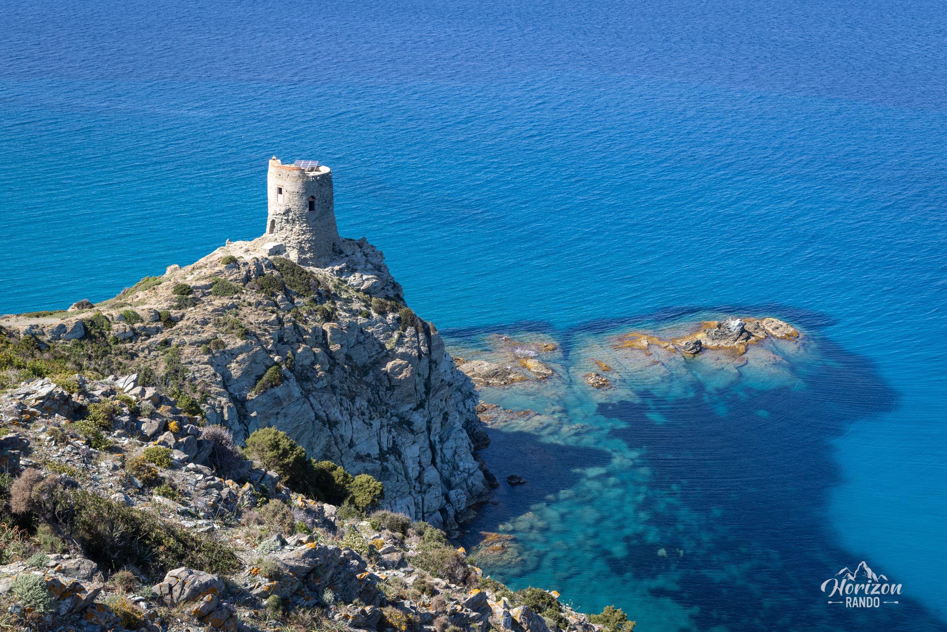
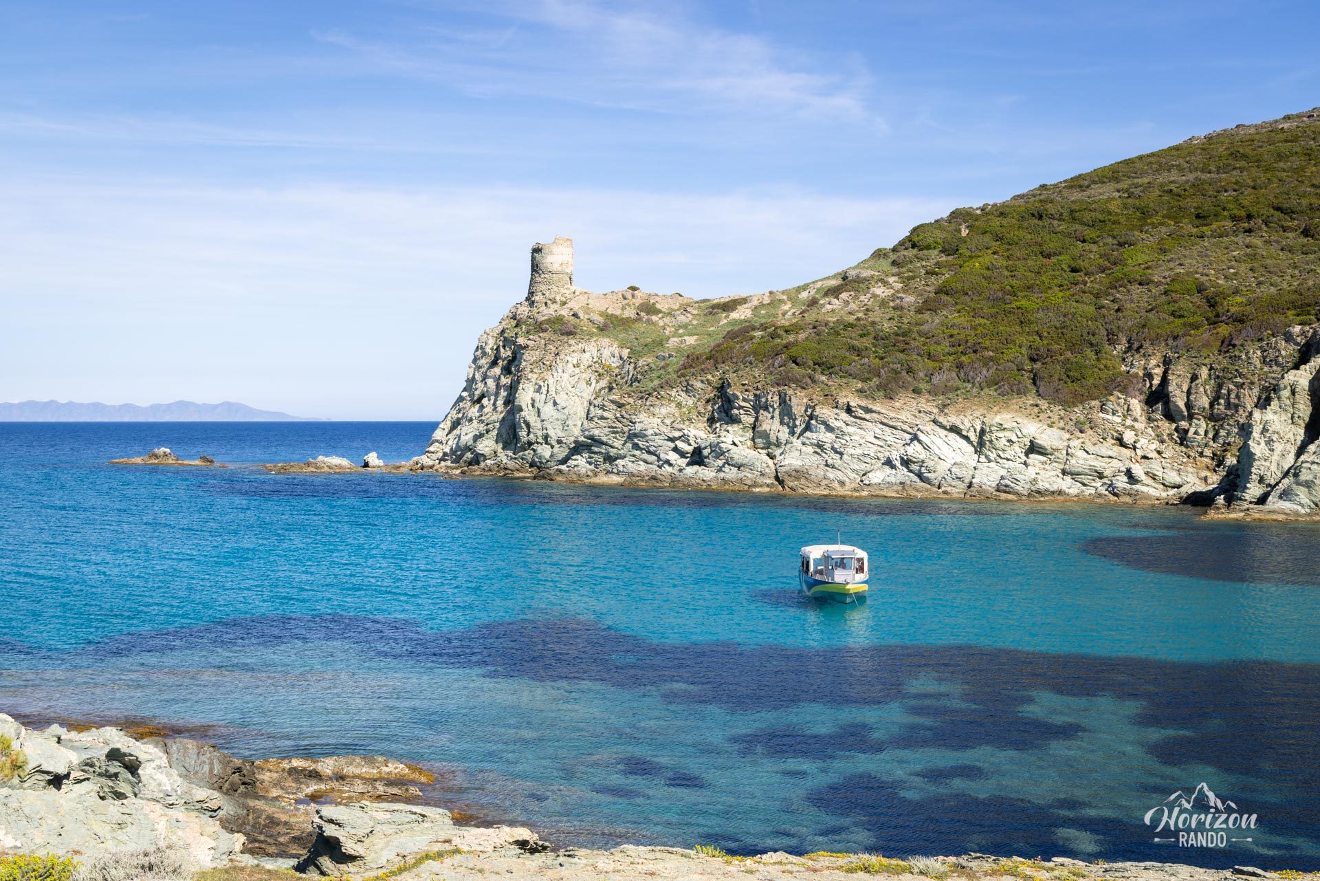
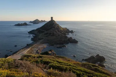
- The perfectly preserved 16th-century Genoese towers, notably the Santa Maria tower at the water's edge and the Agnello tower perched on its rocky promontory.
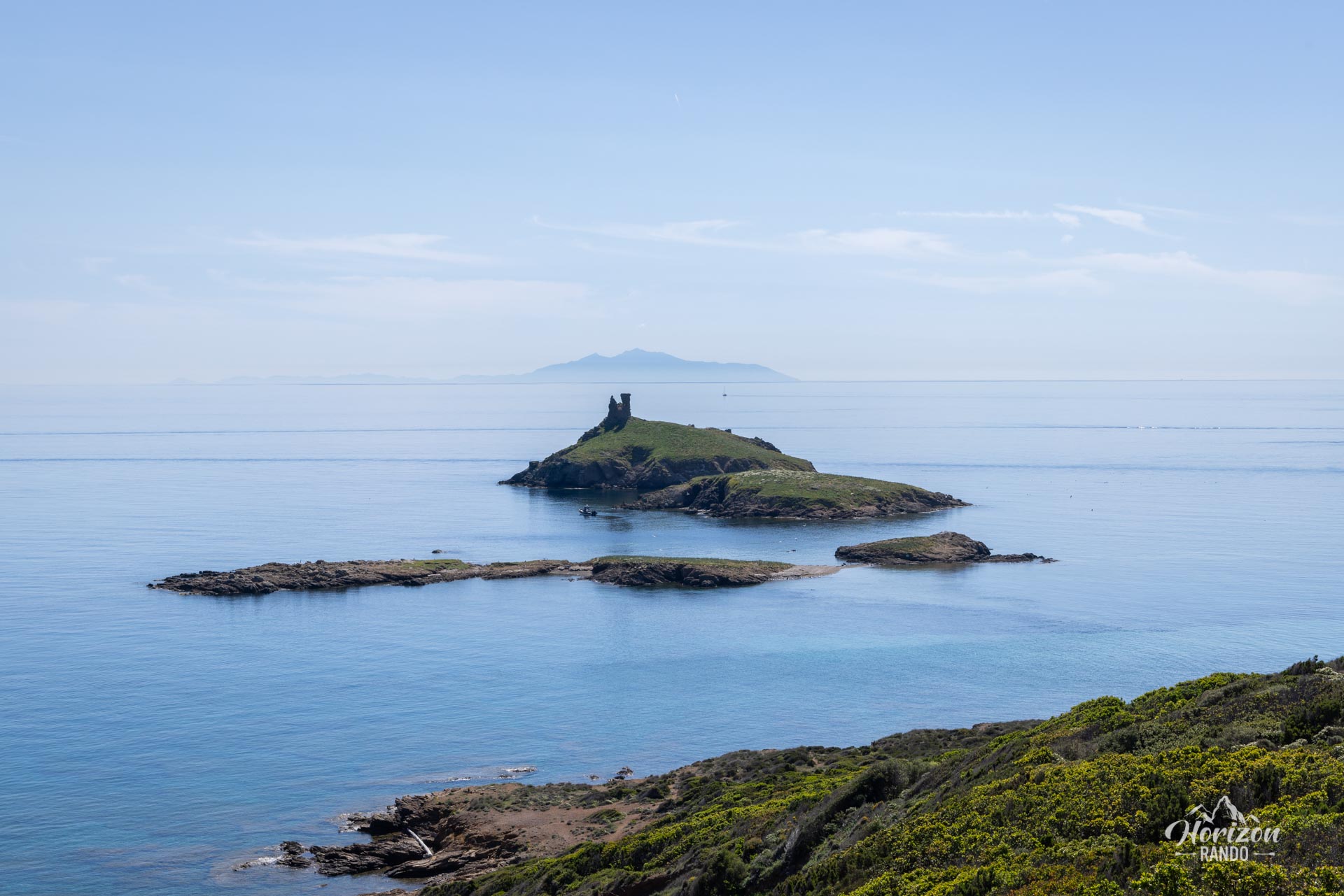
- Spectacular views of the Finocchiarola Islands, an offshore bird sanctuary, and the island of Giraglia with its iconic lighthouse.
Practical information
Route is from point A to point B
If you wish to make a round trip, double the time and distance. The most common option is to use the San Paulu ferry service, which connects Barcaggio to Macinaggio during the summer (usually from May to September). Be sure to book your ticket in Macinaggio before your departure.
Photos
See all 22 photos →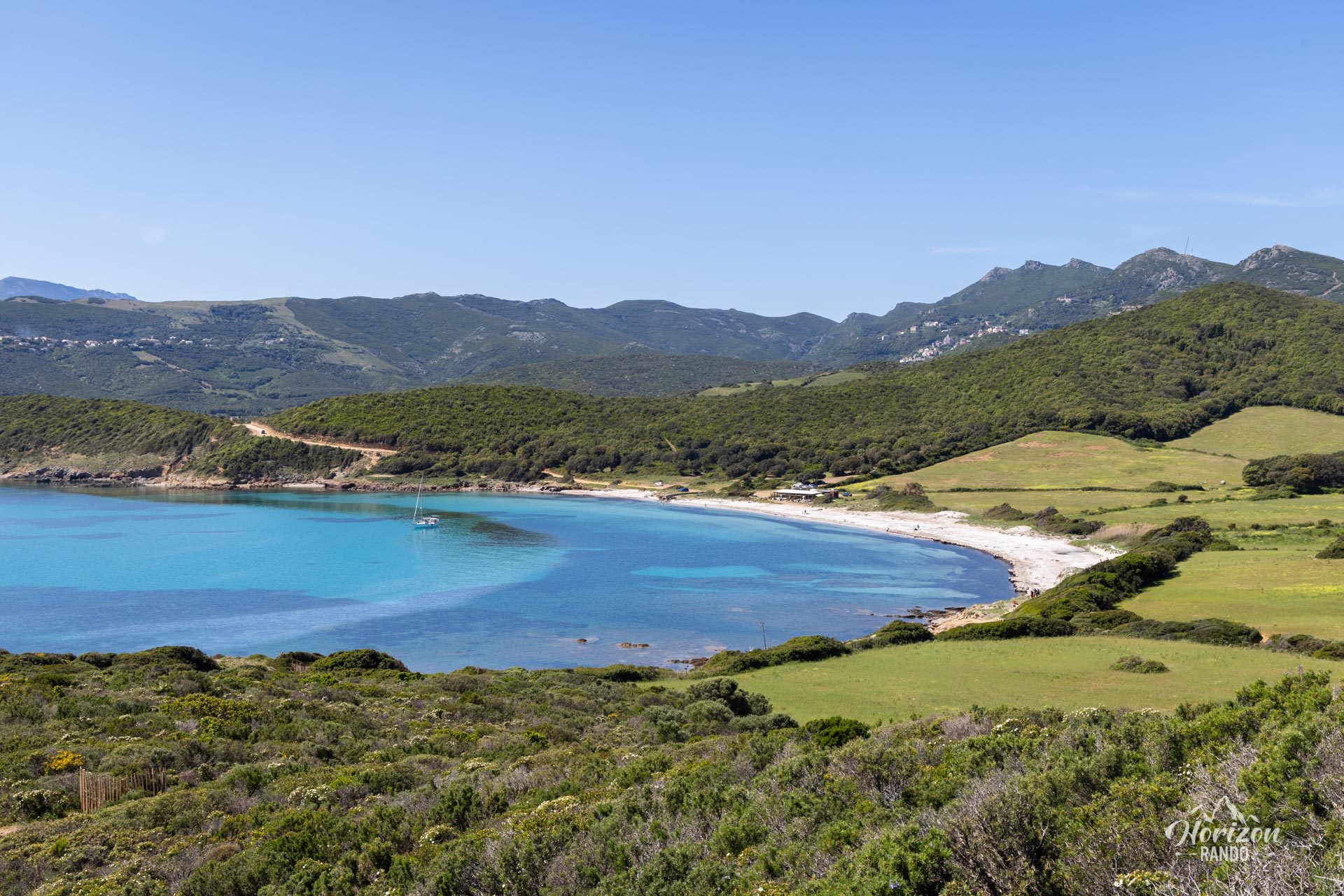
More hikes to do in Corsica
Nearby hikes











Printed from www.horizonrando.fr/en/corsica/the-customs-path/