





Monte San Petrone Hike
Key facts about the hike
- Difficulty
- Moderate Hikes are rated from very easy to very hard: my difficulty scale
- Duration
- 5h Estimated time, short breaks included (photos, water, snacks), picnic not included: how it is calculated
- Distance
- 13.3km
- out and back
- Elevation gain
- 790m
- Type of route
- Out and back
- Maximum altitude
- 1,767 m
- Vertiginous Five levels, depending on how exposed the route is: the levels in detail
- Slightly
- Marked
- Yes
- Popularity
- Moderate
- Region
- North-East
- Start point
- 42.42748, 9.33168
- Activity
- Hiking
Hike overview
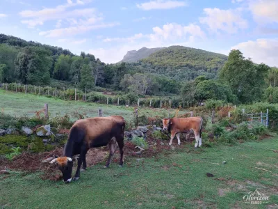
The Monte San Petrone hike leads to the 1,767-meter-high peak of Castagniccia, an iconic mountain that dominates a region once prosperous thanks to its chestnut groves. Castagniccia is heavily wooded and rich in water. It owes its name to the chestnut tree (castagnu in Corsican), which was essential to the region's ability to boast the highest rural population density in Corsica in the 19th century.
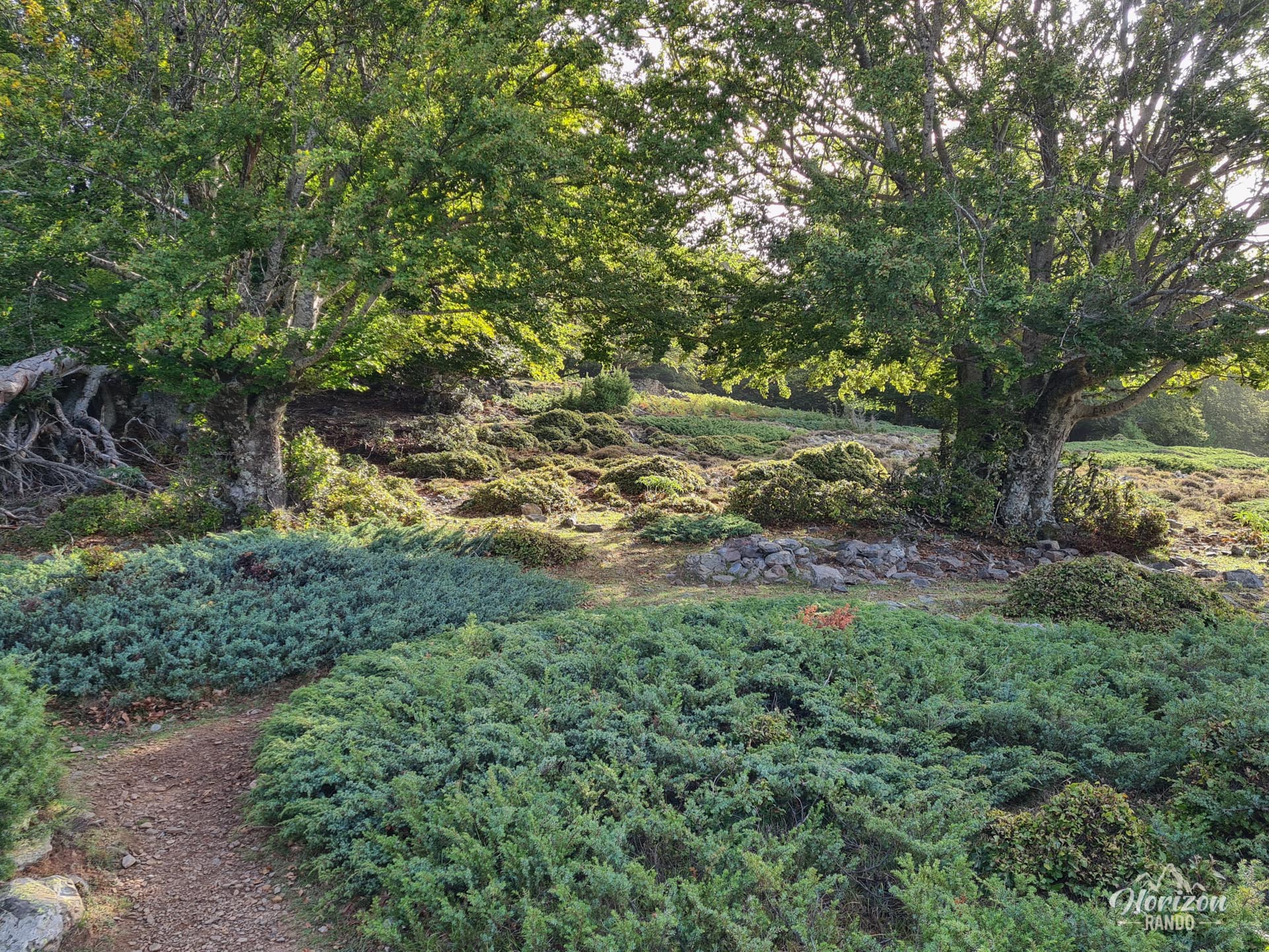
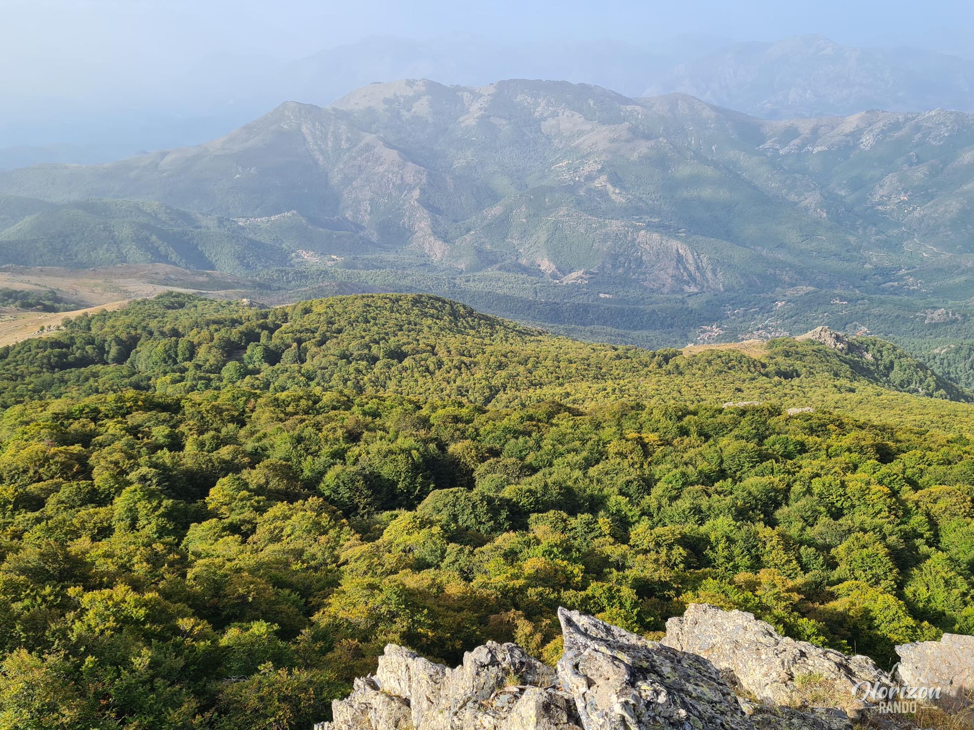
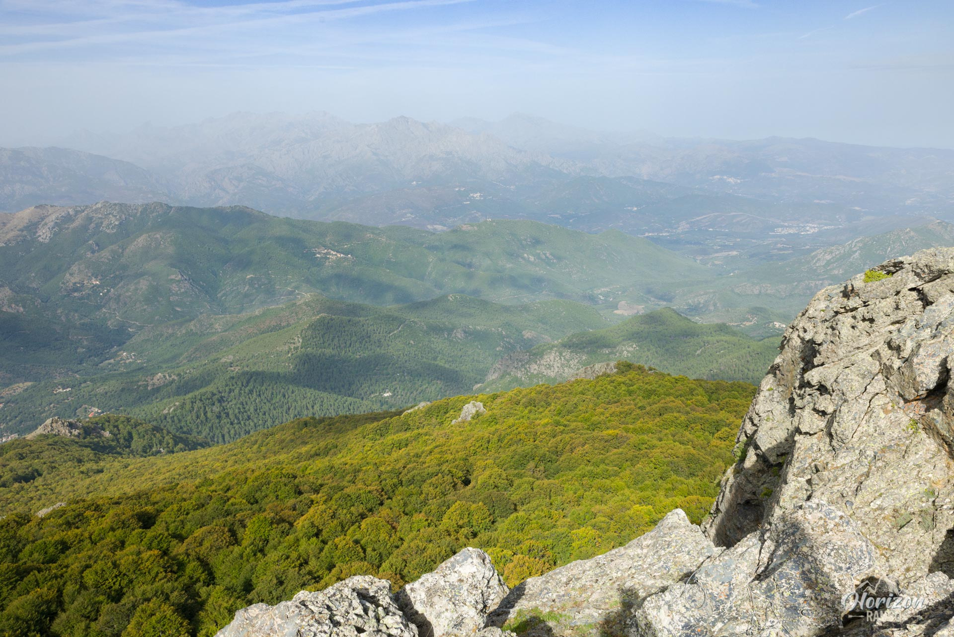
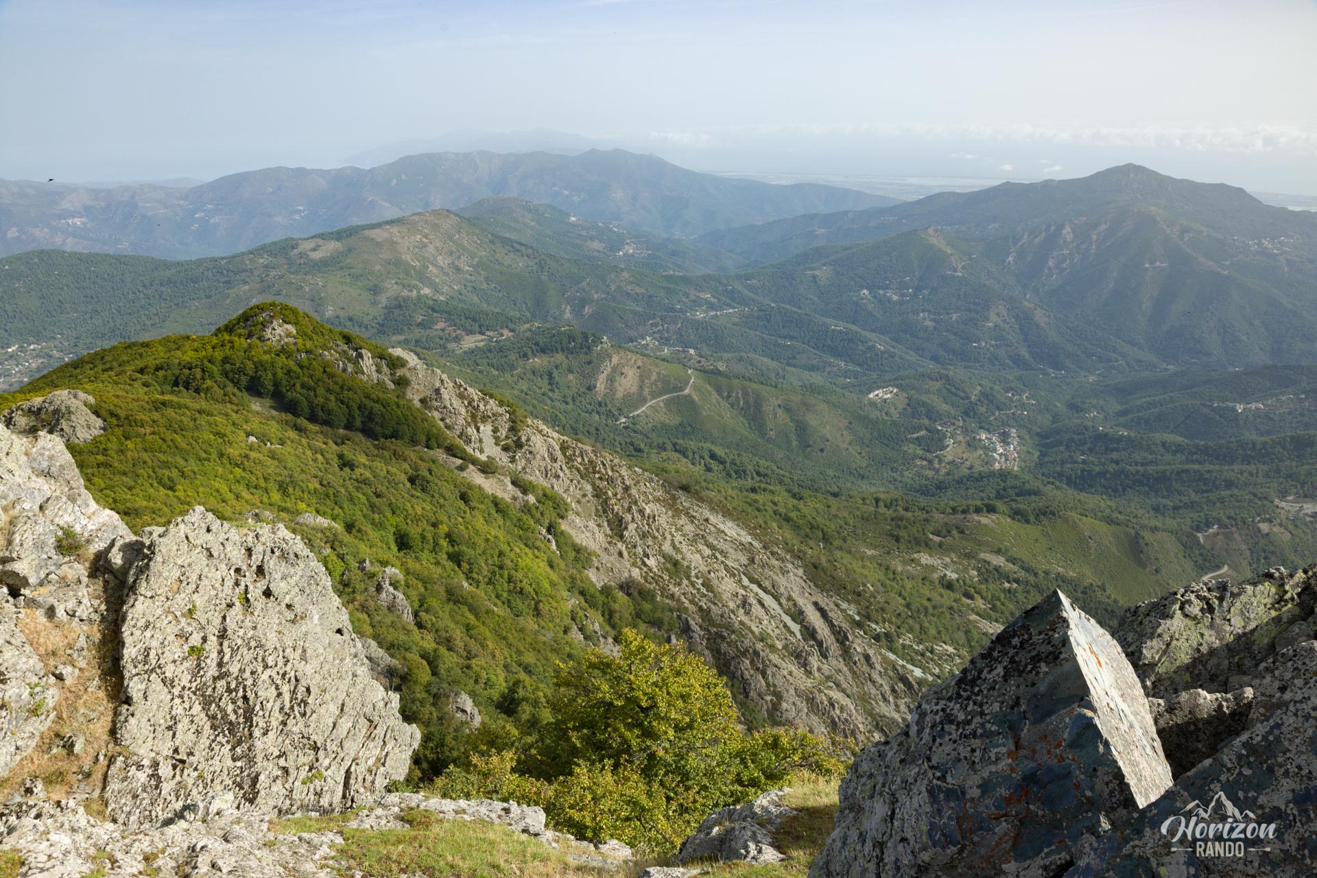
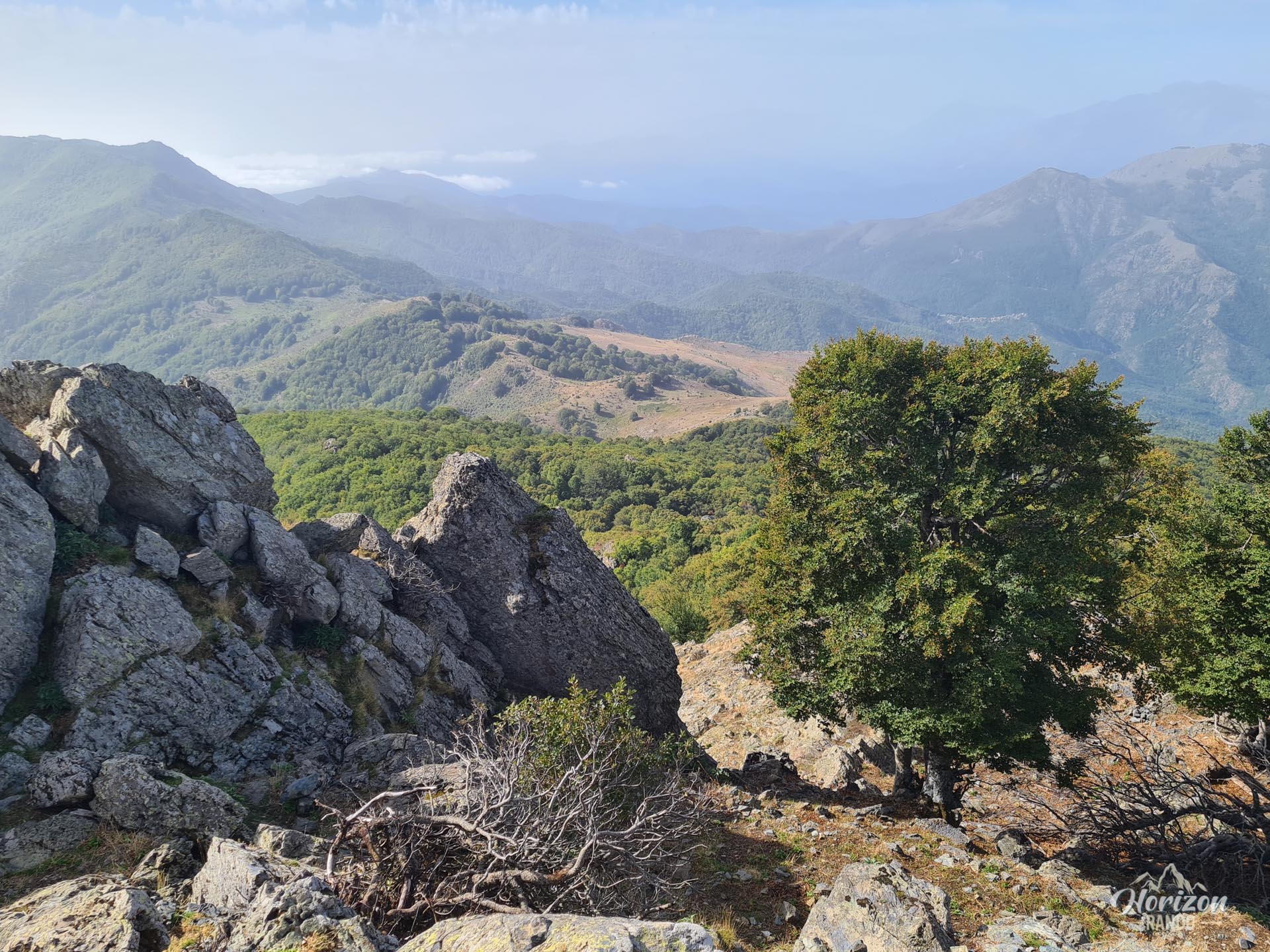
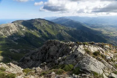
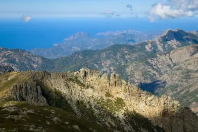
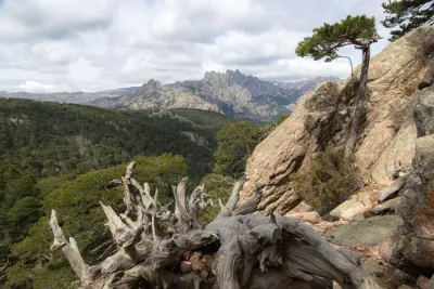
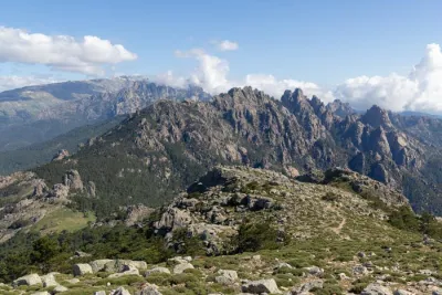
Mostly shaded by the magnificent beech and chestnut forest of San Pietro d'Accia, the climb rewards hikers with a 360° panorama that, on a clear day, stretches as far as Cap Corse and the Cinto and Rotondo massifs. Accessible from the Prato Pass via a well-marked trail, this hike reveals a green, unspoiled Corsica far from the arid image often associated with the island.
Map and elevation profile of the hike
Monte San Petrone Hike
Difficulties of the hike
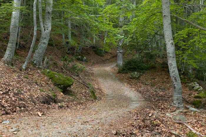
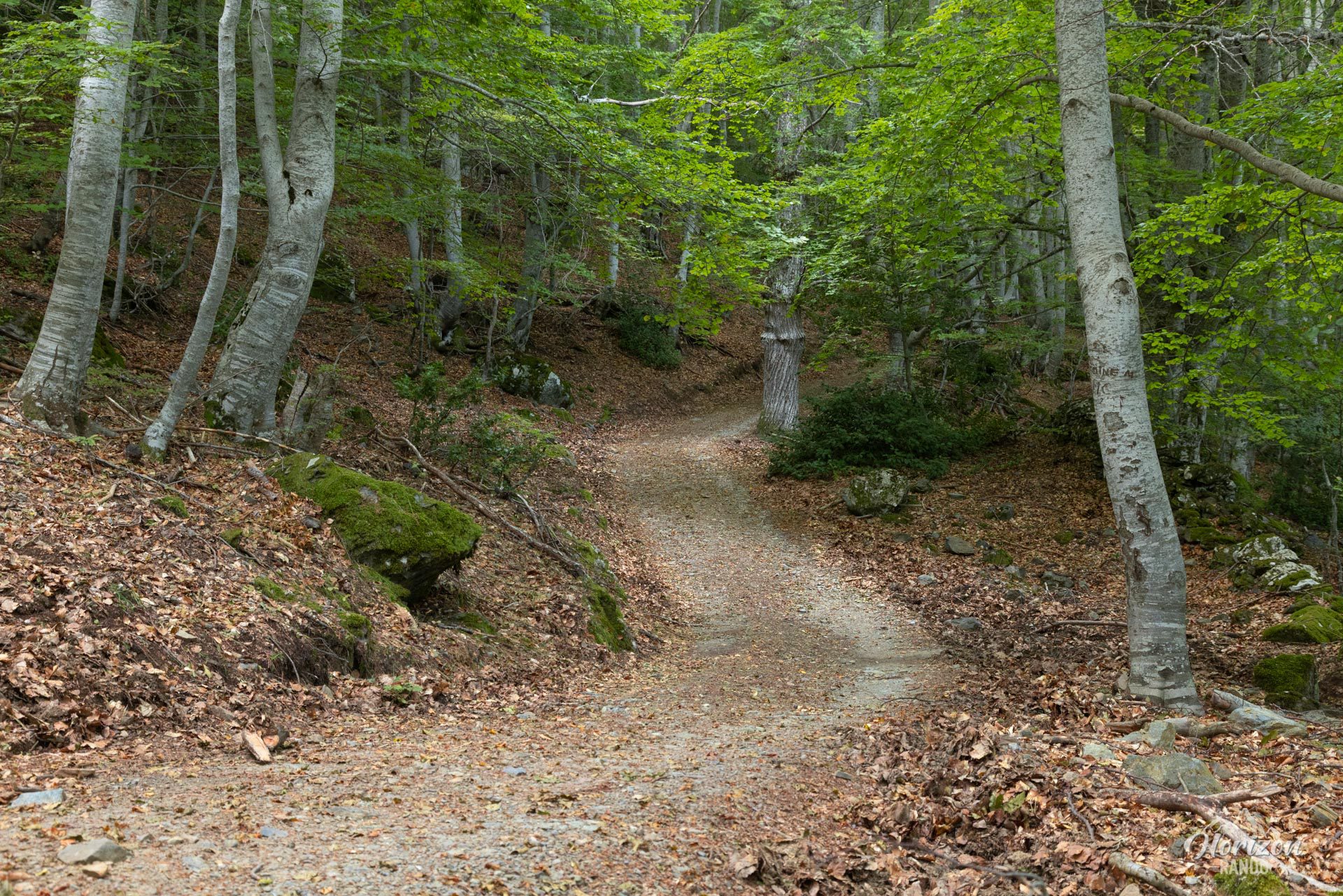
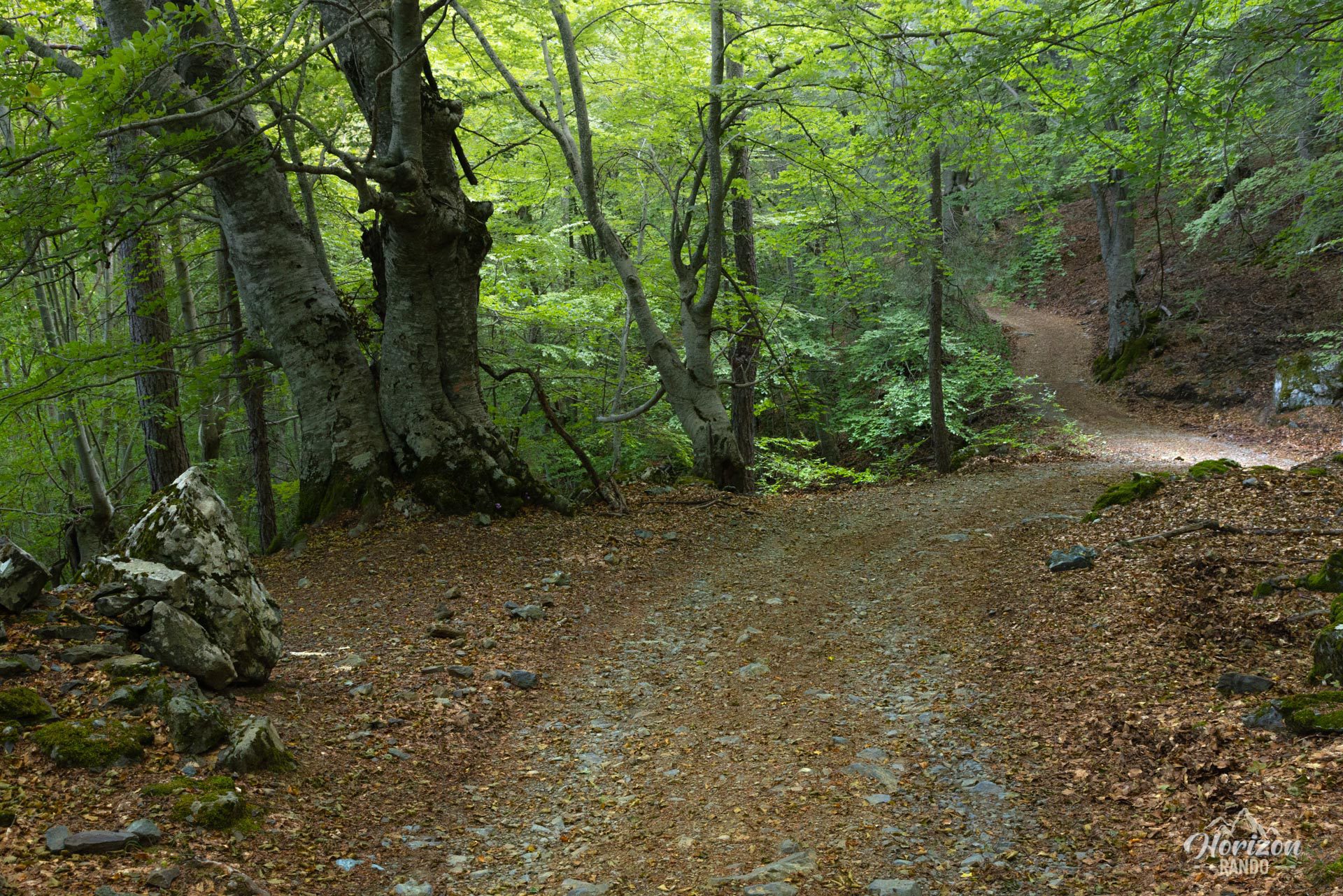
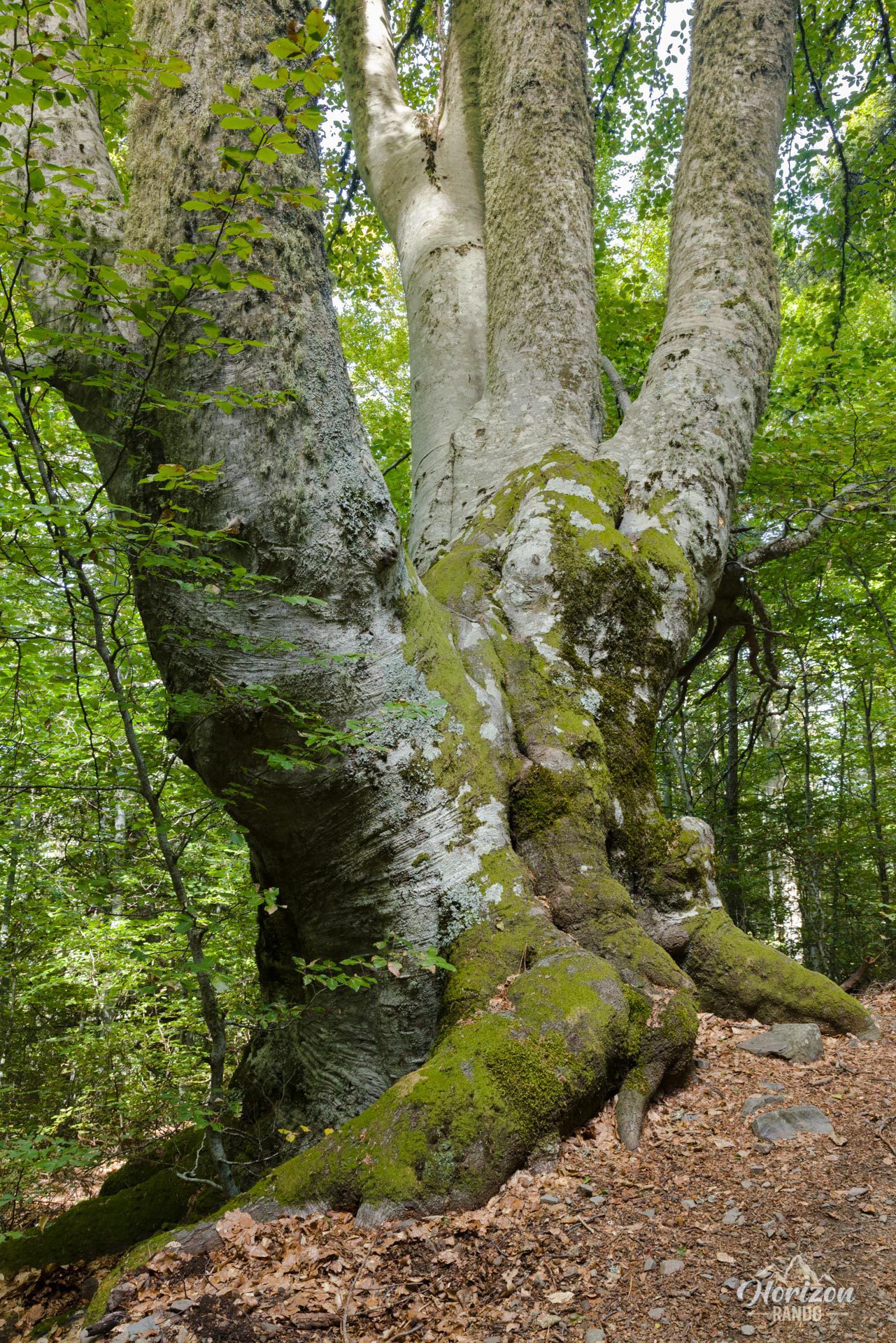
The ascent of Monte San Petrone presents no technical difficulties. The slope remains gentle and steady for three-quarters of the route, with a 600-meter elevation gain spread over six kilometers. Marked in orange from start to finish, the trail first follows a wide forest track through thick beech and chestnut woods, offering welcome shade, especially in hot weather.
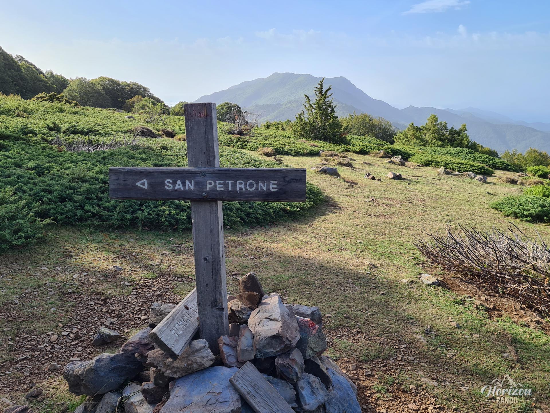
After reaching a large clearing at around 1,500 meters, the trail branches off to the left and narrows as it approaches the final part of the ascent. The terrain becomes steeper and rockier over the last few hundred meters, so watch your step.
What you'll love
- A spectacular 360° panorama: From the summit's dominant position, you can see much of Corsica, from mountain ridges to coastal plains.
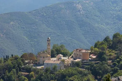
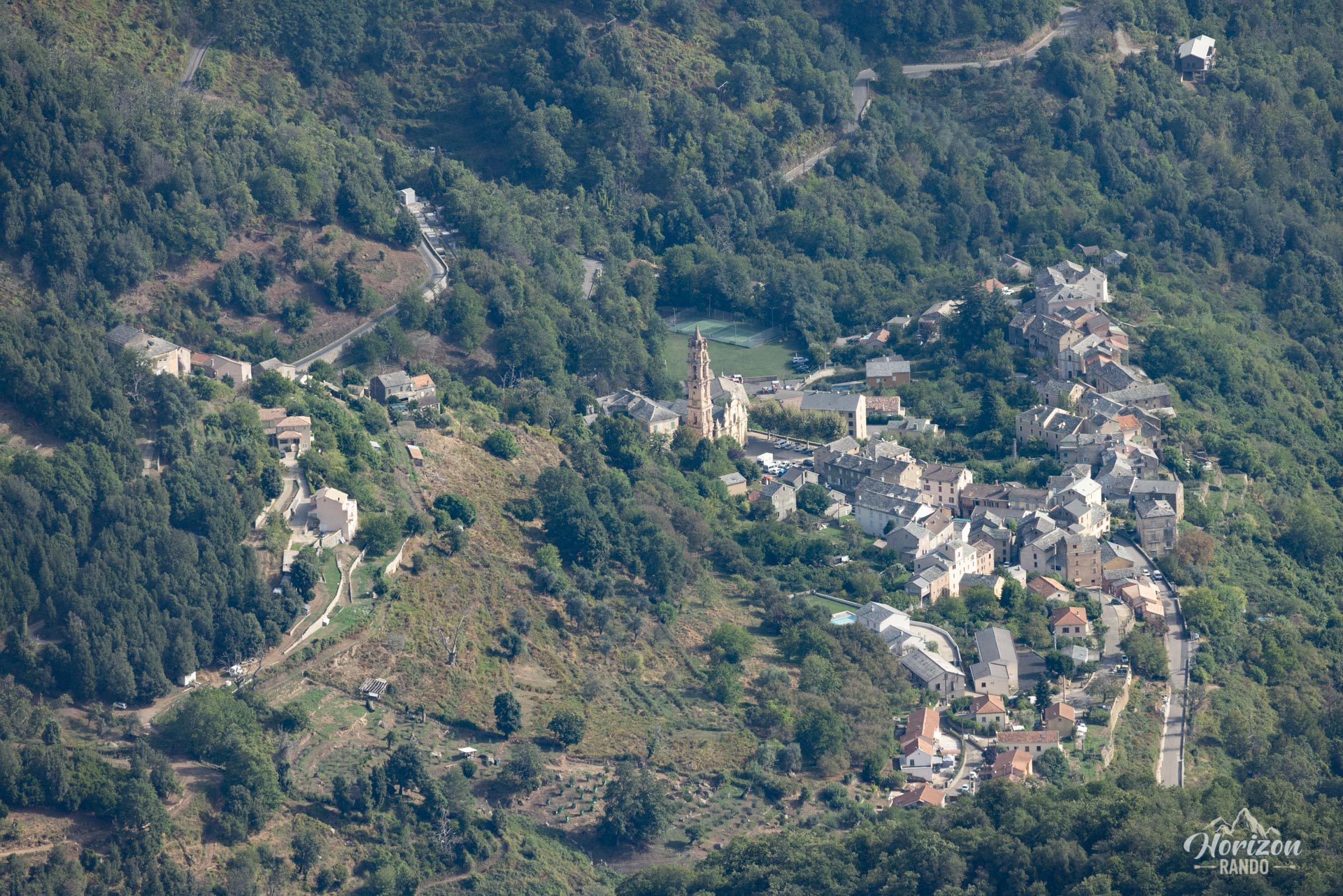
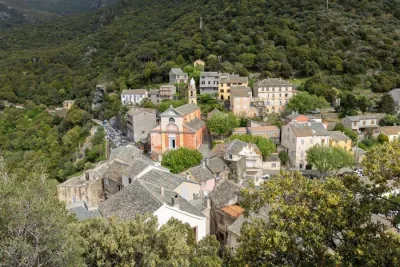
- Picturesque villages of Castagniccia: Get a bird's-eye view of the many hamlets emerging from a sea of greenery.
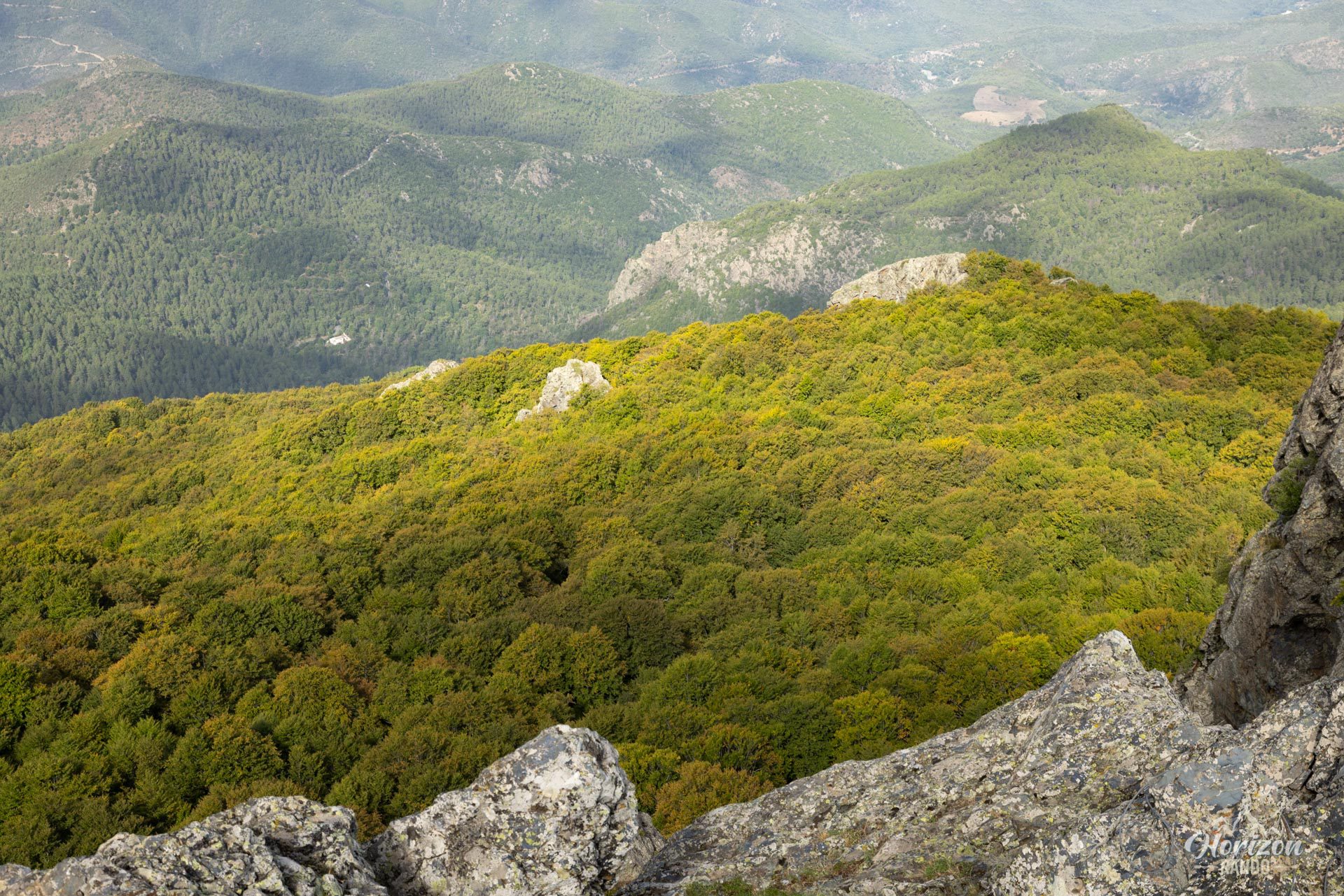
- Crossing the majestic San Pietro d'Accia Forest: This centuries-old beech forest provides welcome shade along almost the entire route.
Practical information
Parking
There is a large, free parking lot at the Prato Pass (Bocca di u Pratu) located at an altitude of 980 meters on the D71 road.
At the summit
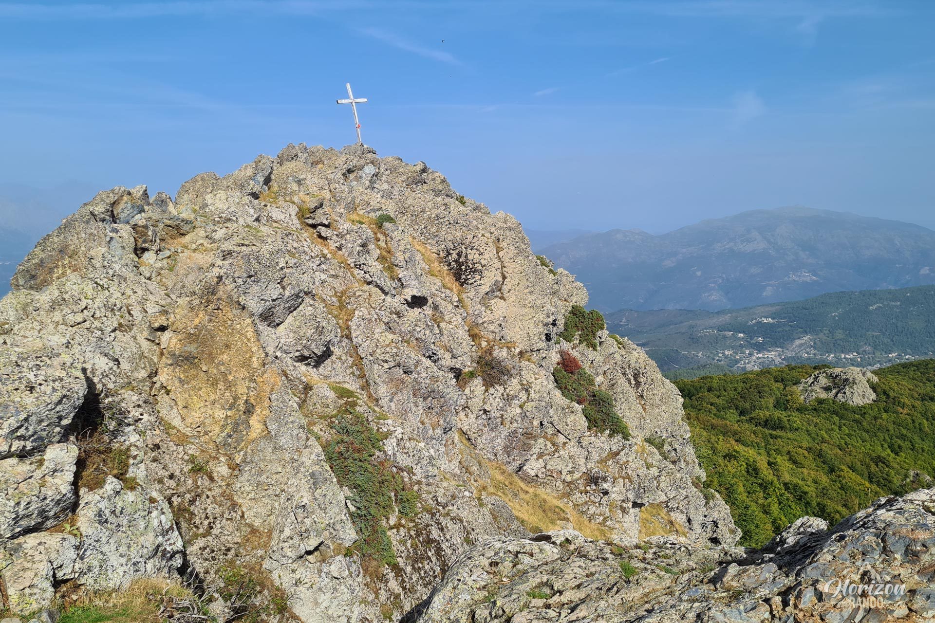
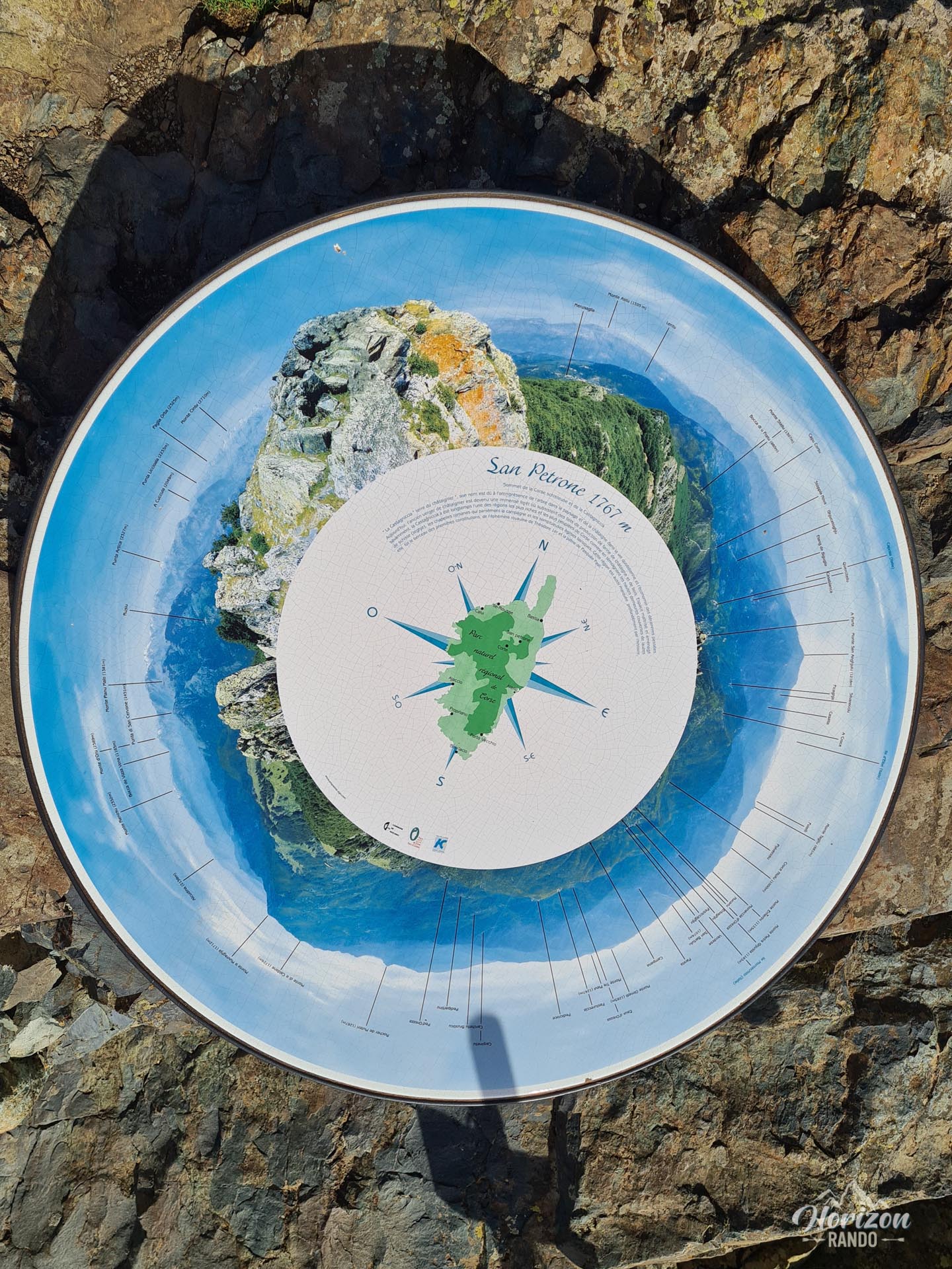
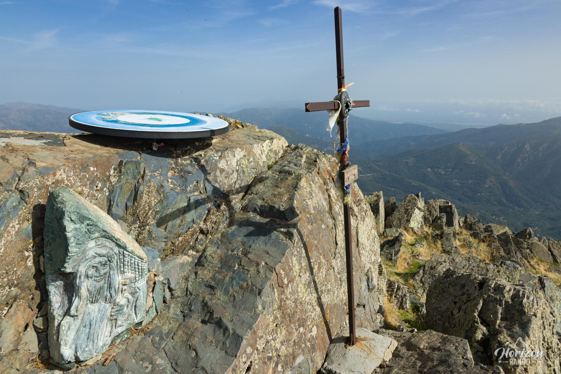
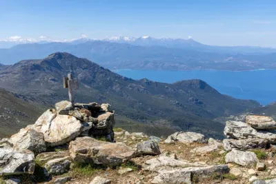
You will find a metal cross, a bas-relief depicting San Petru (Saint Peter), and an orientation table identifying the main peaks and villages.
Photos
See all 18 photos →
More hikes to do in Corsica
Nearby hikes







Printed from www.horizonrando.fr/en/corsica/monte-san-petrone/