





Monte Rotondo Hike
Key facts about the hike
- Difficulty
- Very hard Hikes are rated from very easy to very hard: my difficulty scale
- Duration
- 8h Estimated time, short breaks included (photos, water, snacks), picnic not included: how it is calculated
- Distance
- 14.2km
- out and back
- Elevation gain
- 1,650m
- Type of route
- Out and back
- Maximum altitude
- 2,622 m
- Vertiginous Five levels, depending on how exposed the route is: the levels in detail
- Highly
- Marked
- No
- Popularity
- Low
- Region
- Center
- Start point
- 42.25512, 9.06744
- Activity
- Hiking
Hike overview
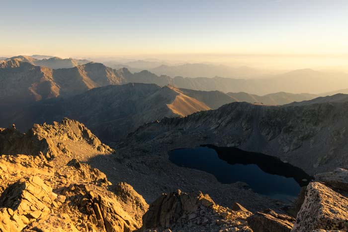
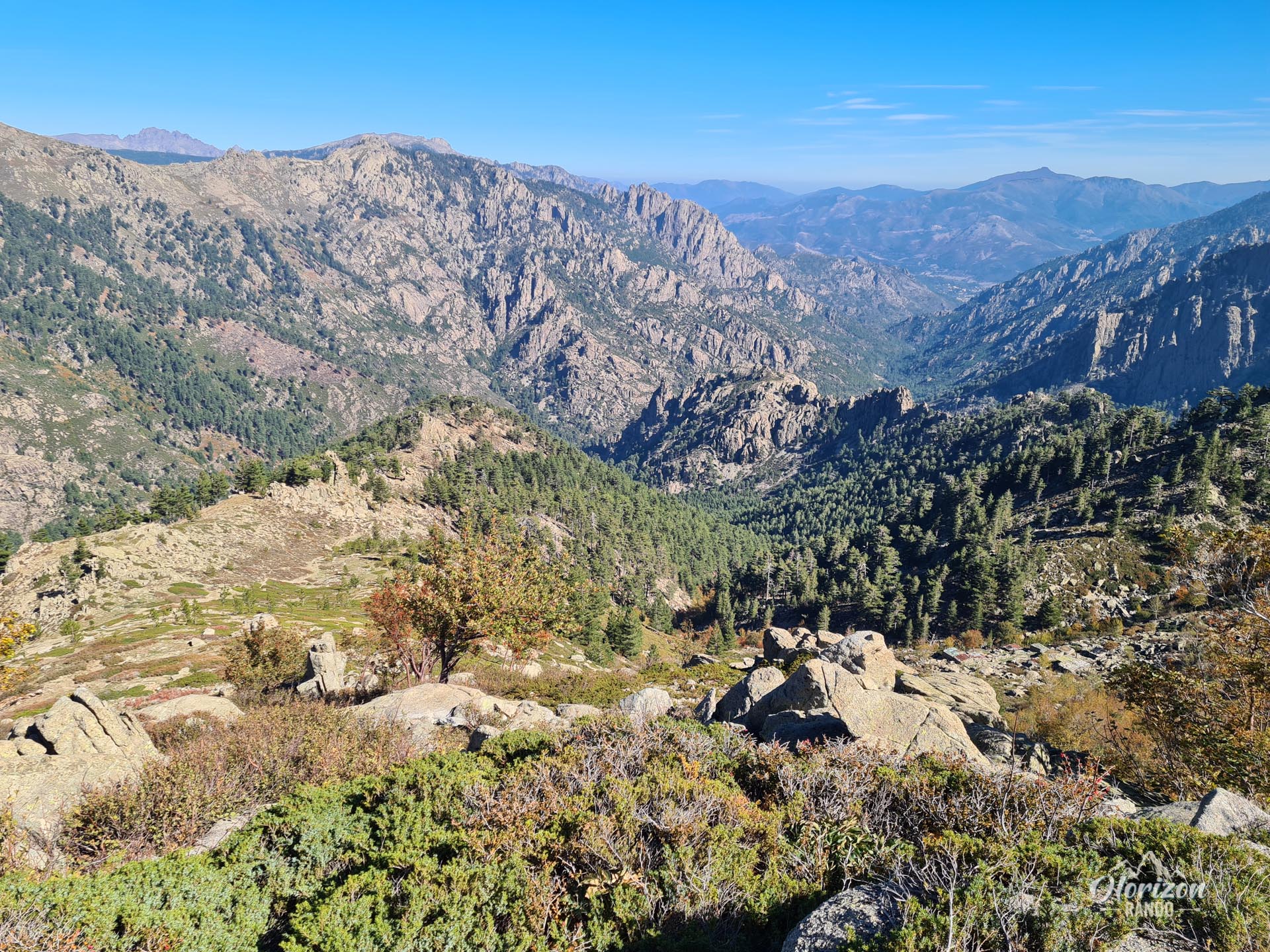
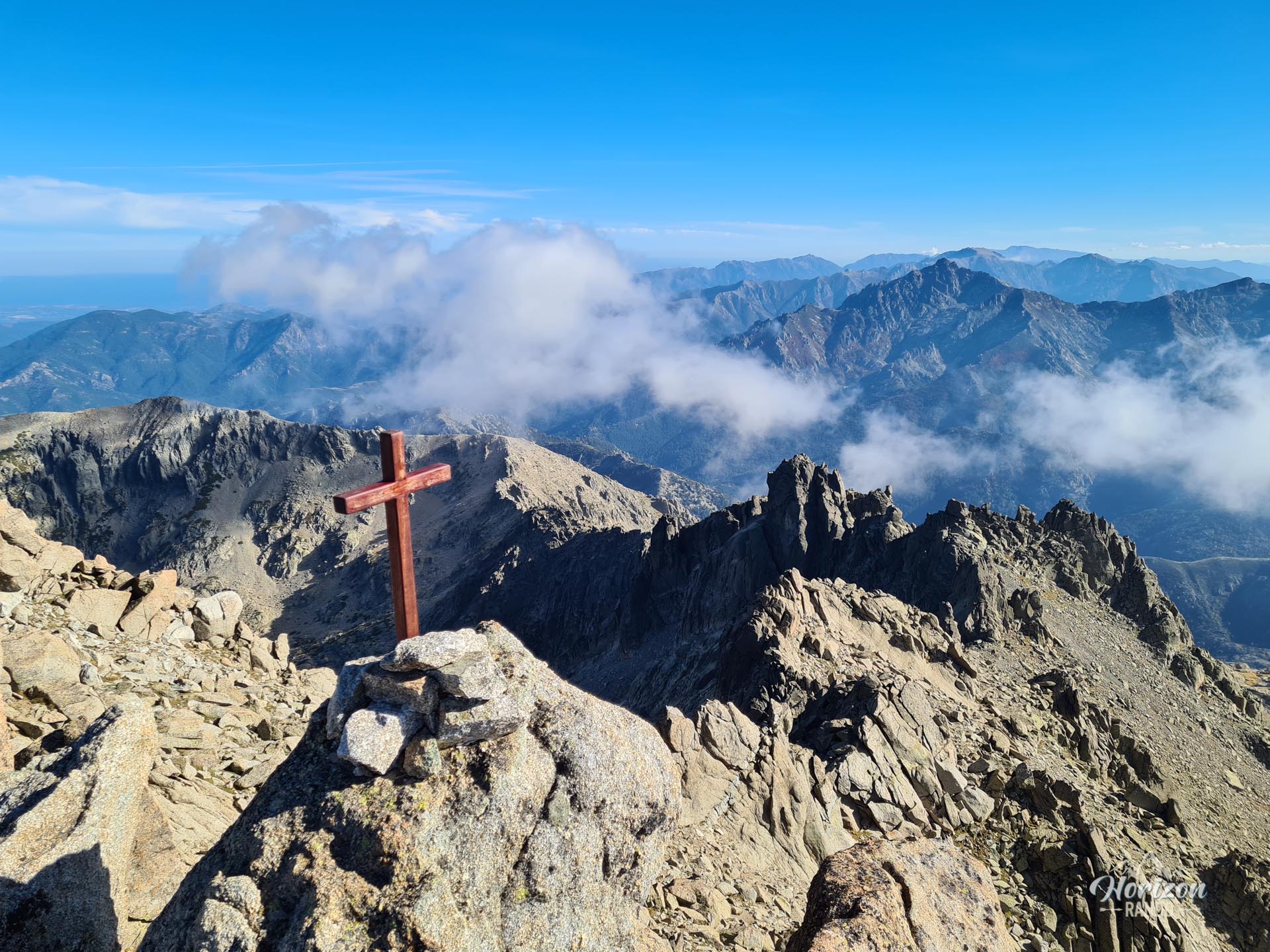
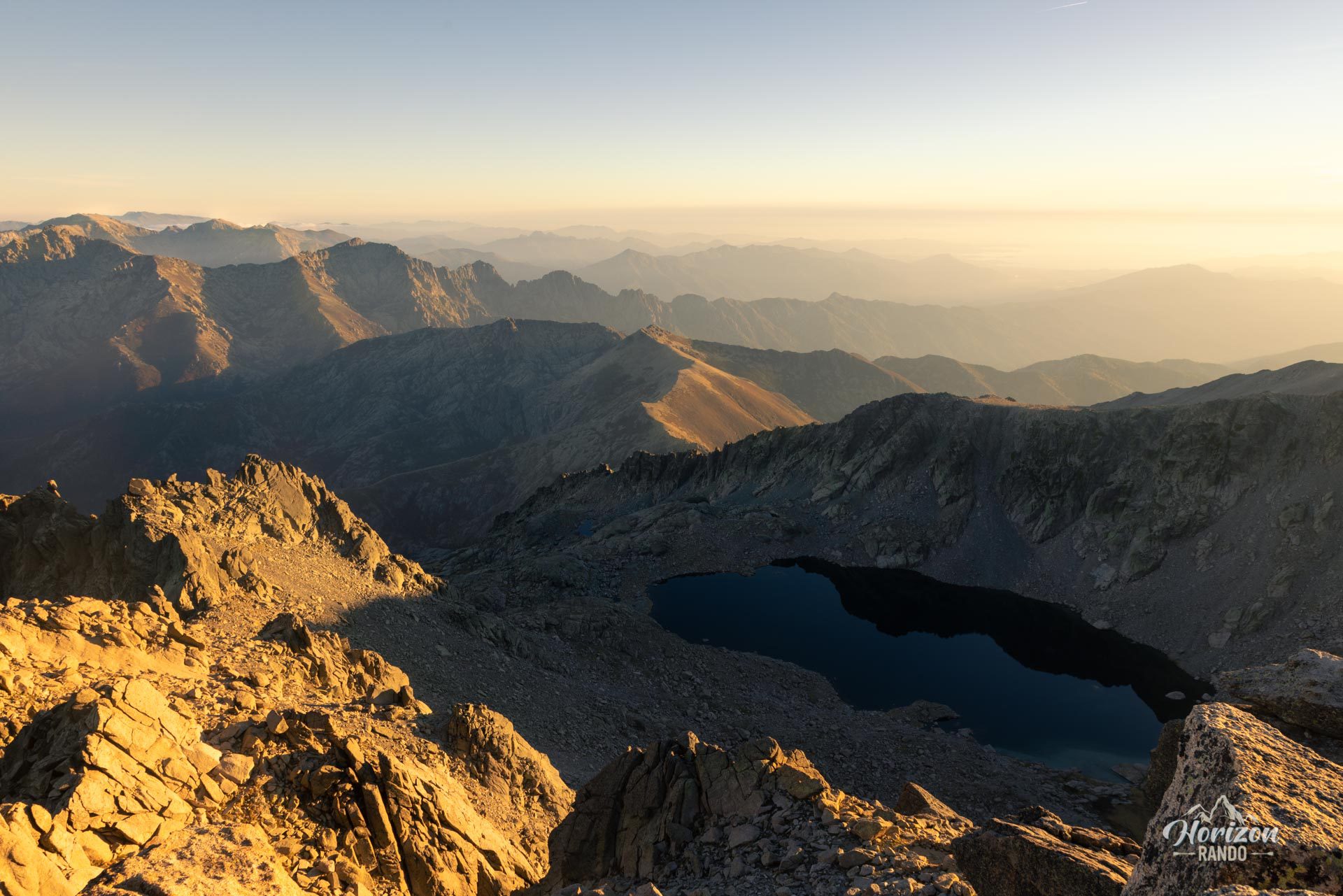
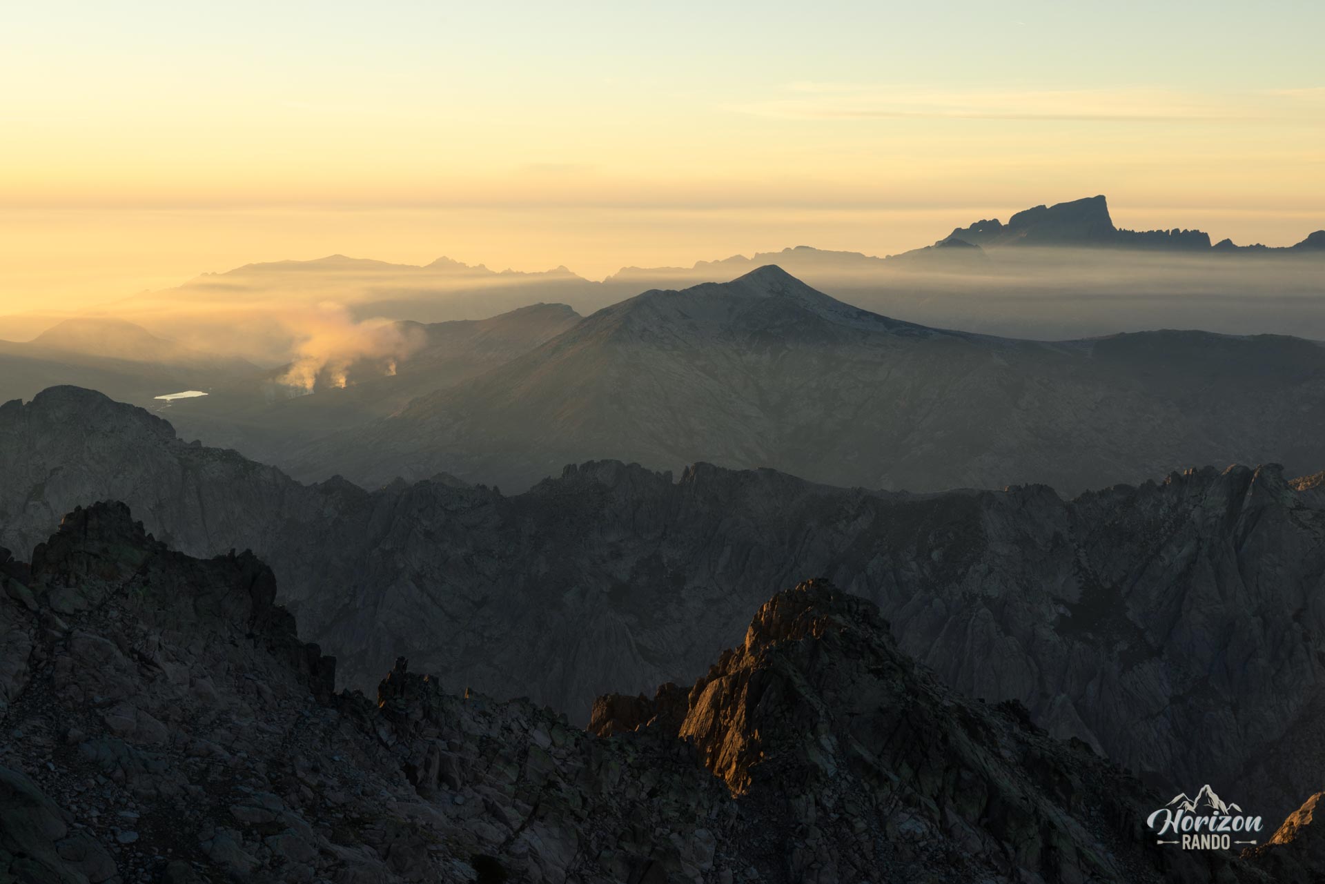
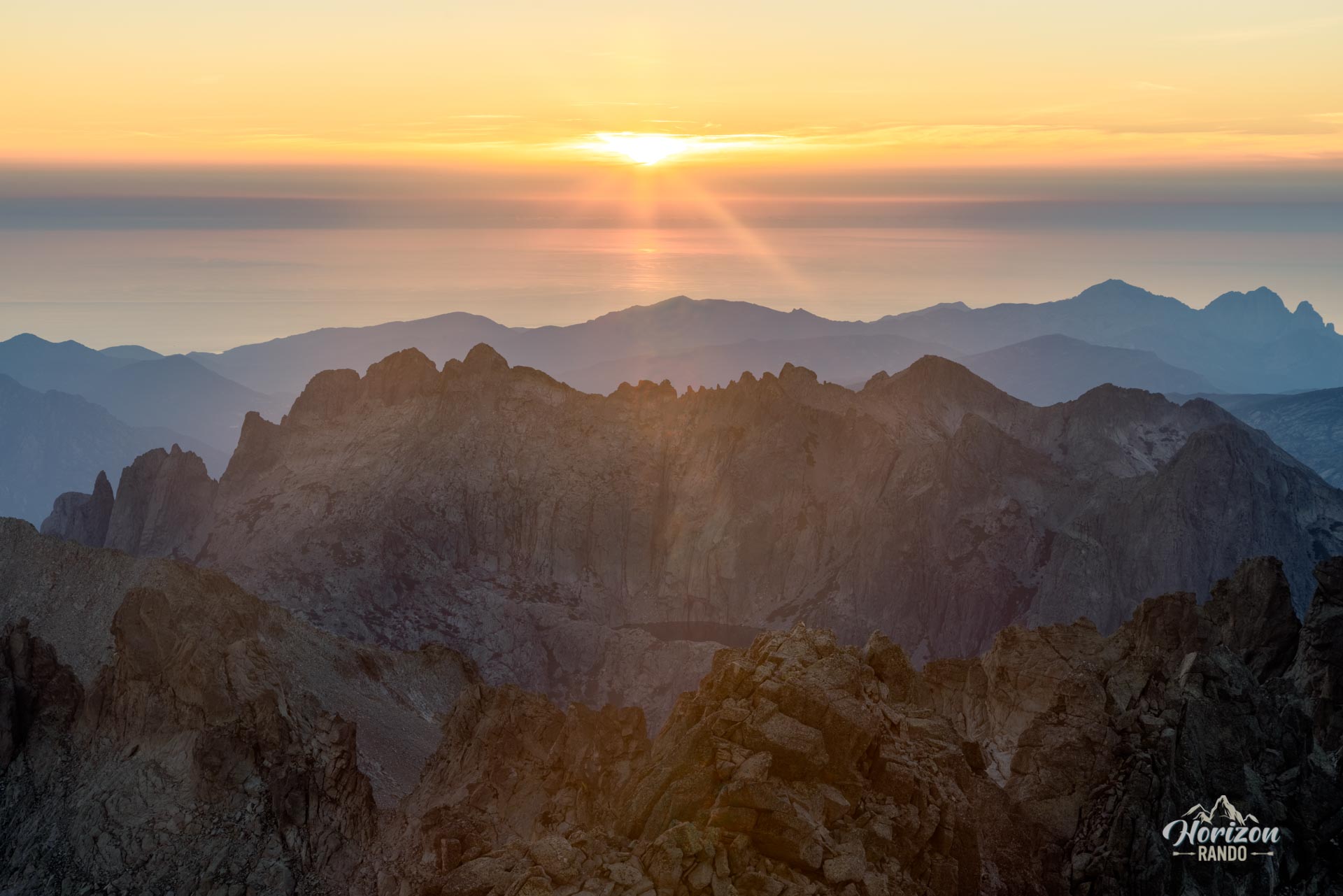
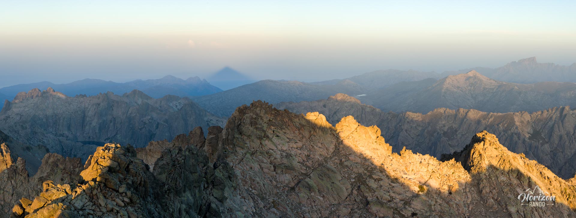
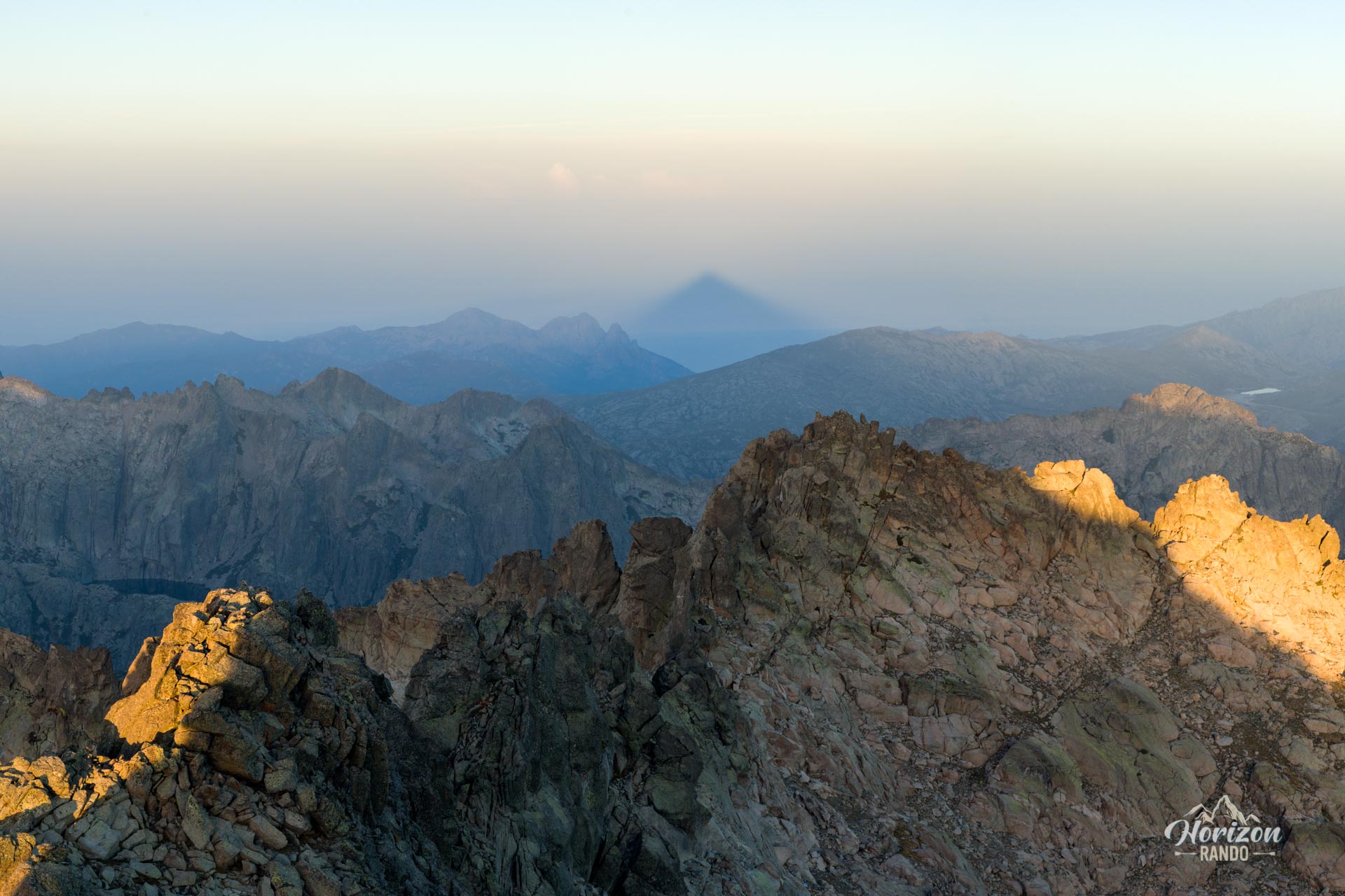
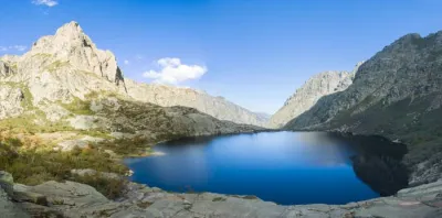
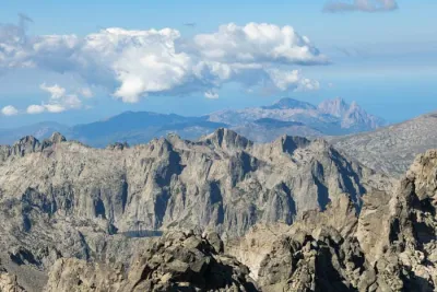
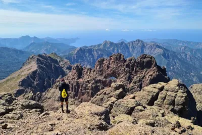
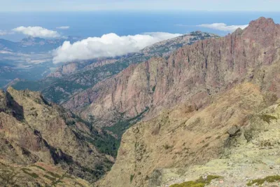
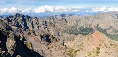
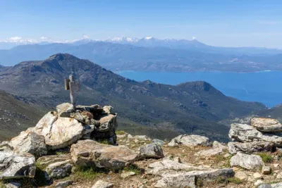
Climbing Monte Rotondo leads to the iconic summit of Corsica's second-highest mountain range, which rises to an altitude of 2,622 meters. From this central vantage point, you can see nearly the entire island, from the east and west coasts to legendary peaks such as Paglia Orba and Monte Cinto. Below, you will also see Lake Batanella, the largest natural lake on the island, located at an altitude of 2,321 meters.
However, this exceptional view comes with a challenge: the hike involves 1,650 meters of elevation gain and a very technical route after Lake Oriente, making it suitable only for experienced hikers.
Map and elevation profile of the hike
Monte Rotondo Hike
Description and difficulties of the hike
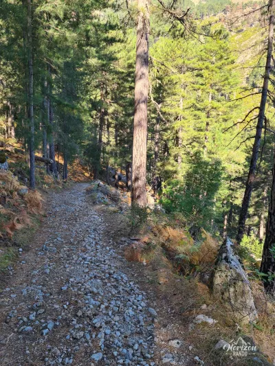
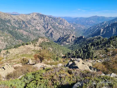
The ascent of Monte Rotondo presents major physical and technical challenges. The 14.2-kilometer route includes 1,650 meters of elevation gain on demanding terrain. The first part of the hike, up to Lake Oriente (2,064 meters), is a steady climb through the forest and then across open terrain. There are no significant difficulties.
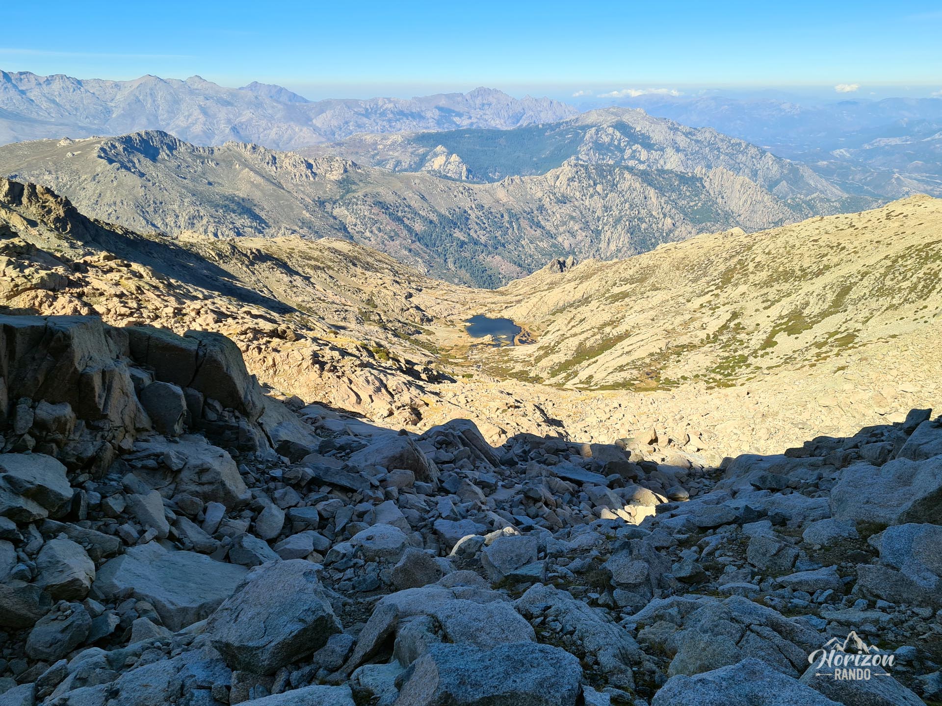
The real difficulties begin after Lake Oriente. There is then a 600-meter elevation gain and three kilometers to cover across a huge, unstable, and steep scree slope. The terrain becomes very technical, often requiring you to use your hands to progress.
The trail is not marked, only cairns dot the route. In this maze of rocks, it can be difficult to find the right path, especially since there are so many cairns, which can be misleading. Plan for at least two and a half extra hours from the lake, and stay alert so you don't get lost. The reward upon reaching the summit will be all the greater!
What you'll love
- The exceptional 360° panoramic view from the summit, considered one of the most beautiful in Corsica. It takes in all of the island's iconic mountain ranges.
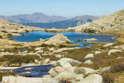
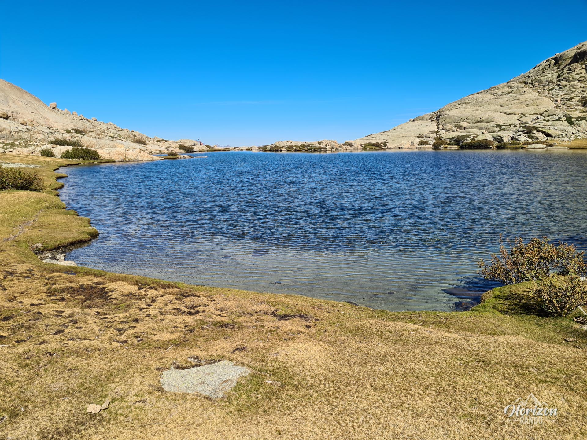
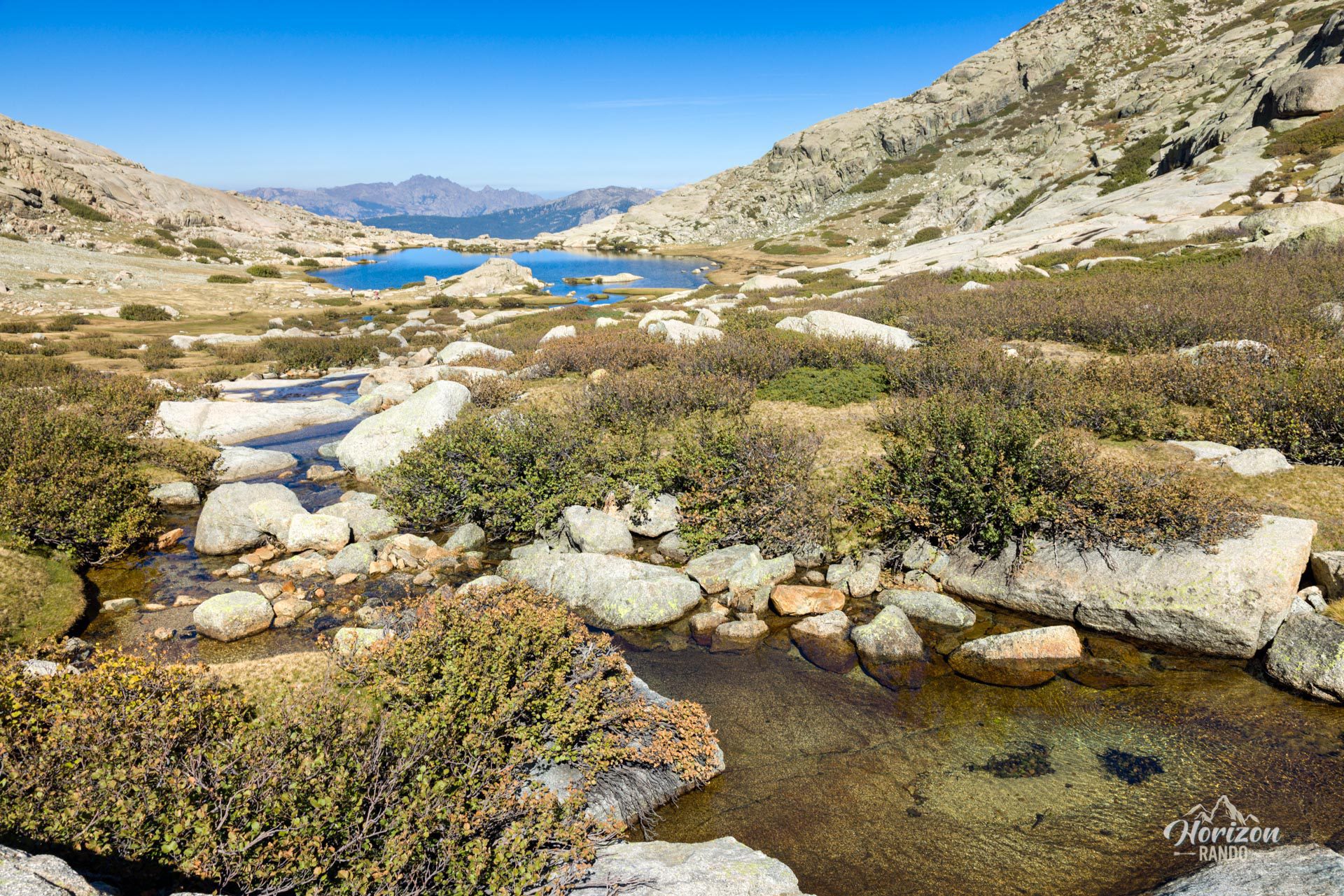
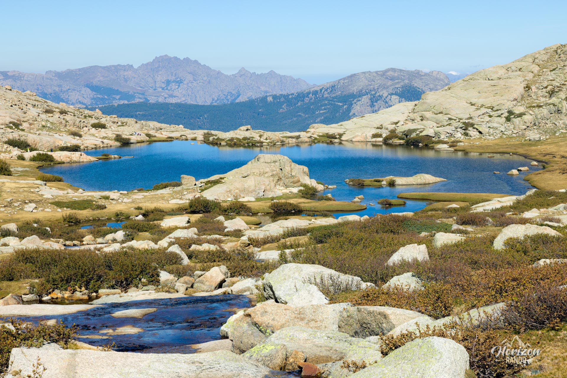
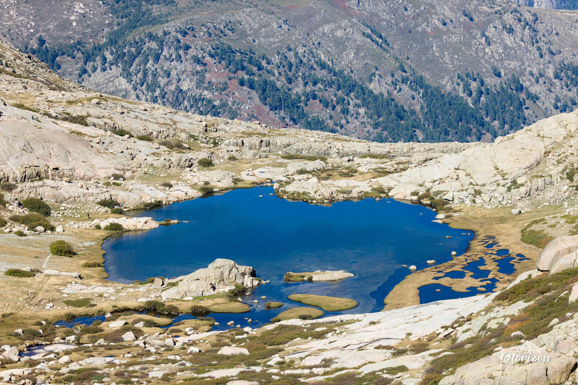
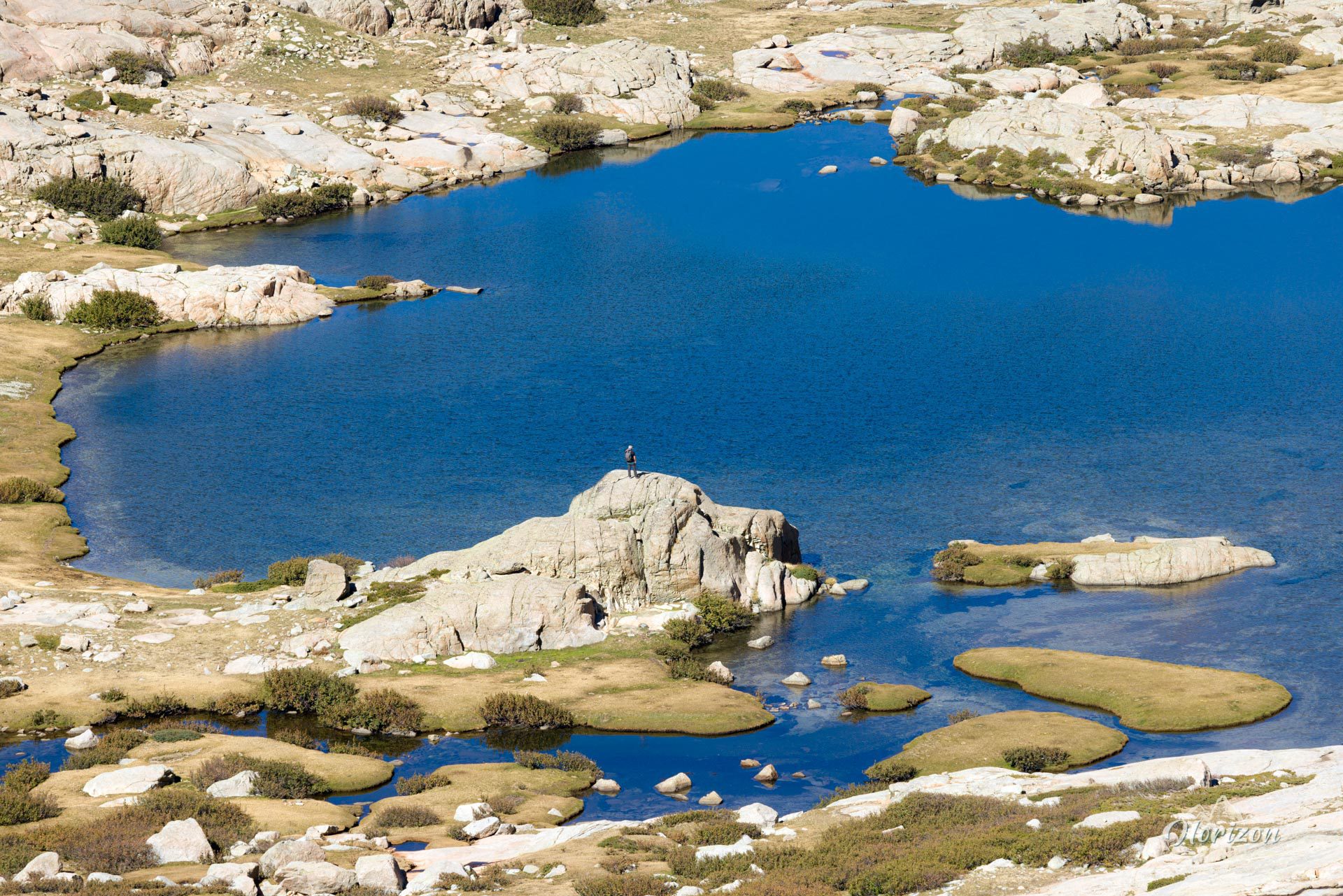
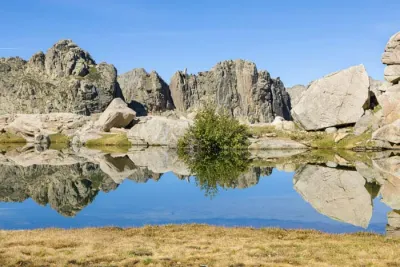
- The magnificent Lake Oriente with its green meadows and pozzines, a haven of peace at an altitude of 2,064 meters.
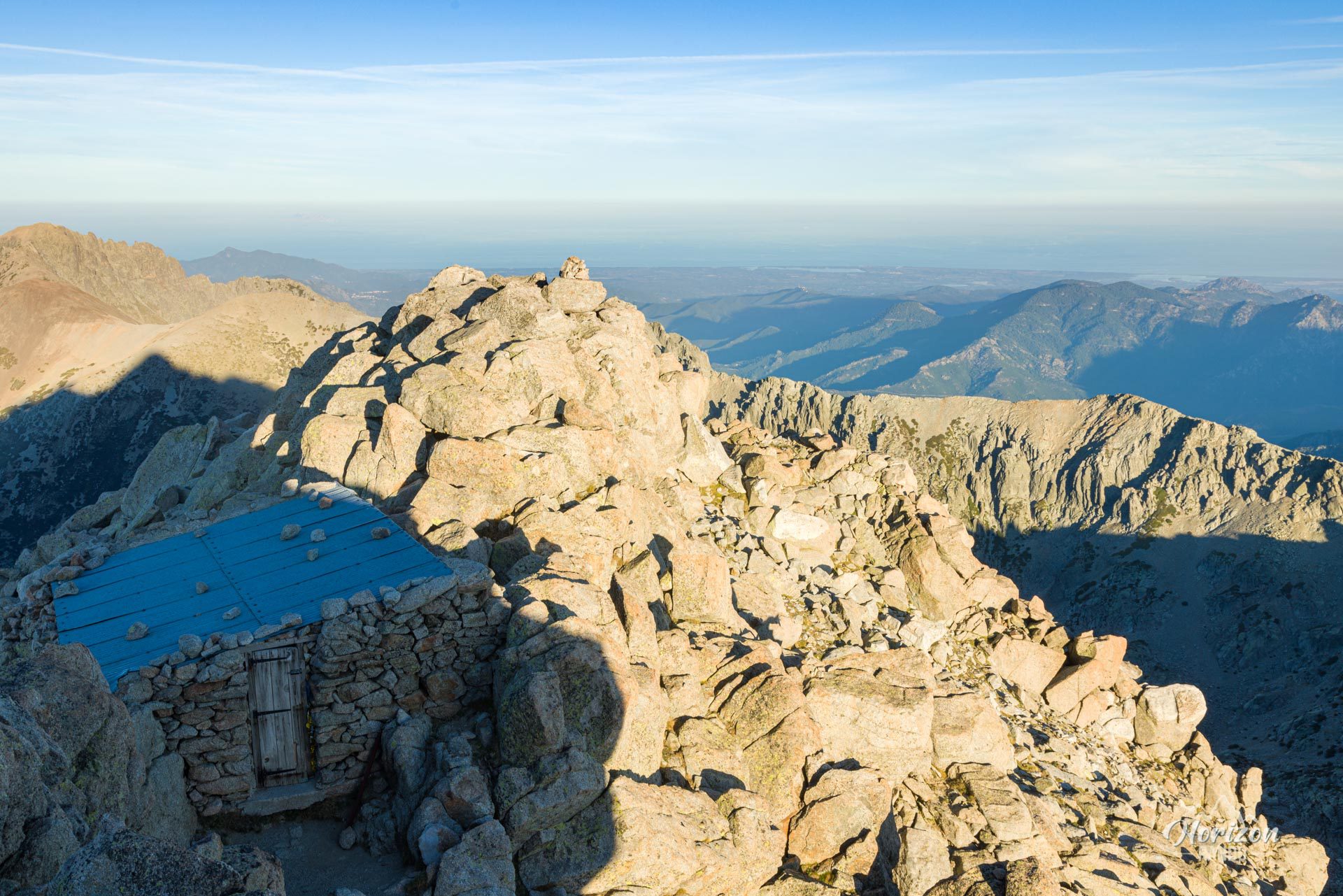
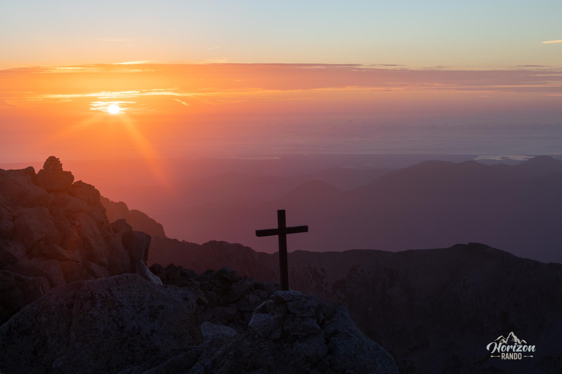
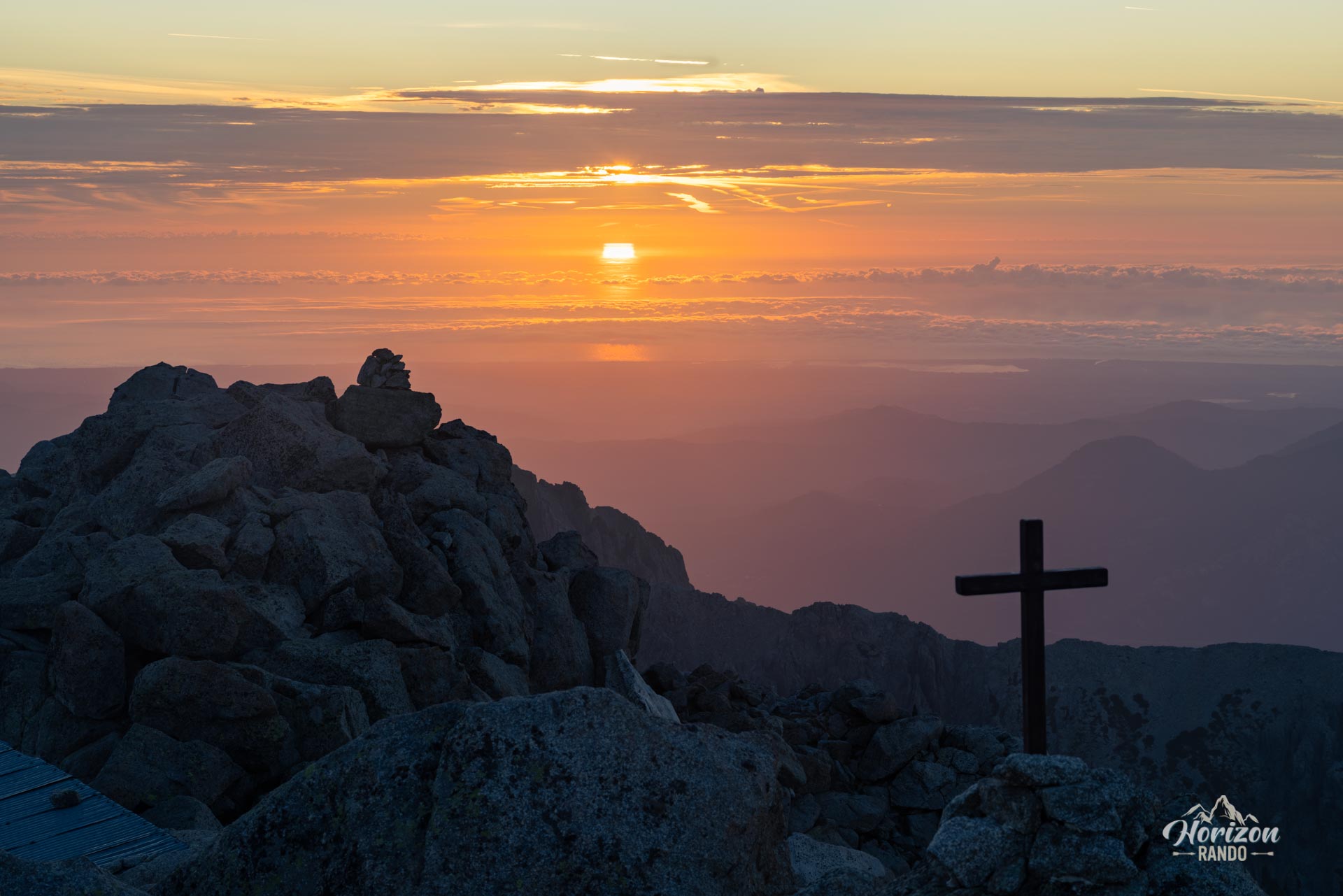
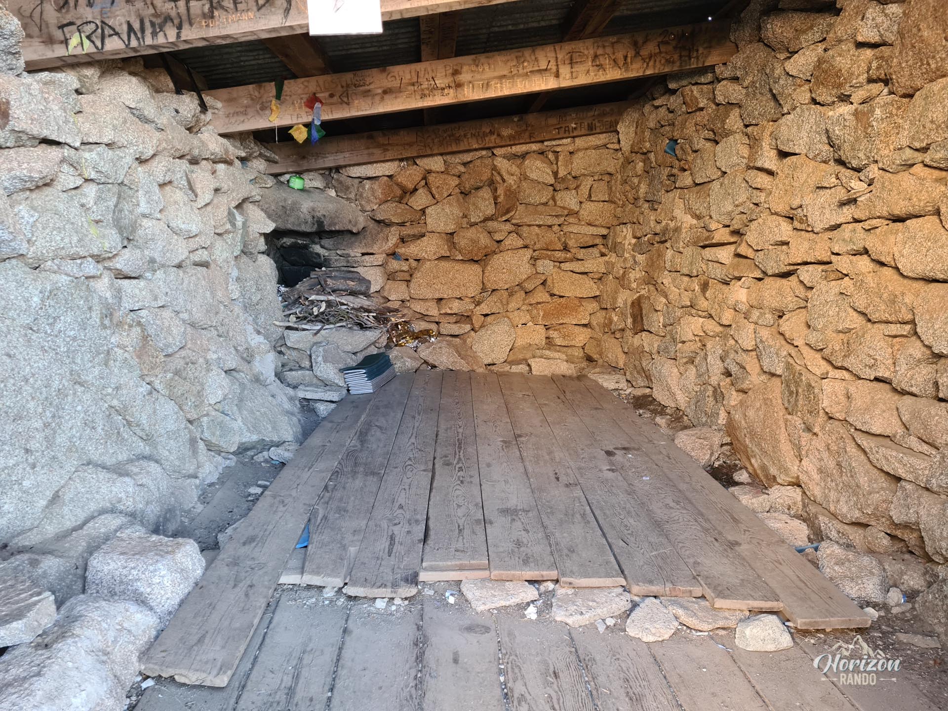
- The Helbronner shelter at the summit, where you can watch sunsets and sunrises in a magical setting.
- The sense of accomplishment you'll feel after climbing the island's second-highest peak at the end of an intense day.
Practical information
Parking
There is no parking lot at the trailhead, which is located about 100 meters after the Timozzo Bridge. The few spaces available along the D623 can be counted on one hand. It is essential to arrive early in the morning if you hope to find a space.
Best time to go
July to September. Snow and ice may remain on the trail until early July, which makes the climb dangerous. Check the conditions before setting off if you are going early in the season.
Helbronner Shelter
This basic refuge at the summit can accommodate two to three people. This option allows you to split the hike into two stages and watch the sunset and sunrise from the summit, which is a truly magical experience.
Photos
See all 19 photos →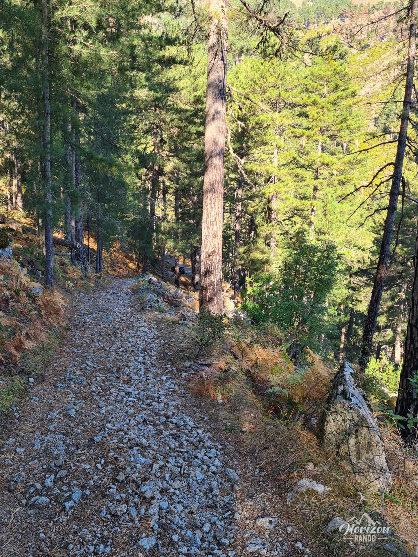
More hikes to do in Corsica
Nearby hikes







Printed from www.horizonrando.fr/en/corsica/monte-rotondo/