





A Muvrella Hike
Key facts about the hike
- Difficulty
- Hard Hikes are rated from very easy to very hard: my difficulty scale
- Duration
- 4h Estimated time, short breaks included (photos, water, snacks), picnic not included: how it is calculated
- Distance
- 4.5km
- out and back
- Elevation gain
- 730m
- Type of route
- Out and back
- Maximum altitude
- 2,148 m
- Vertiginous Five levels, depending on how exposed the route is: the levels in detail
- Moderately
- Marked
- Partially
- Popularity
- Moderate
- Region
- Center
- Start point
- 42.40329, 8.92345
- Activity
- Hiking
Hike overview
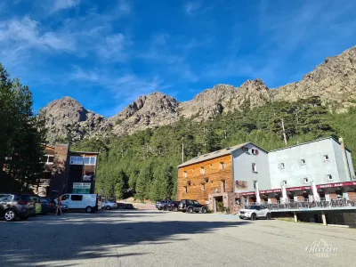
The A Muvrella hike is a short but challenging climb to a 2,148-meter summit in northwestern Corsica. Starting from the Haut-Asco resort, the route follows part of the legendary GR20 trail to reach the ridges.
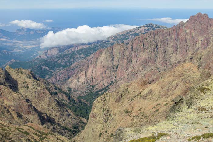
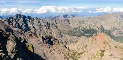
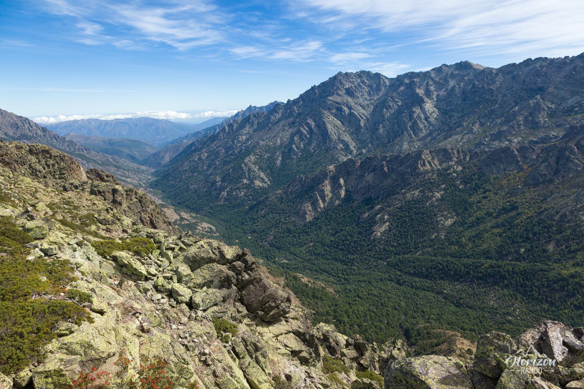
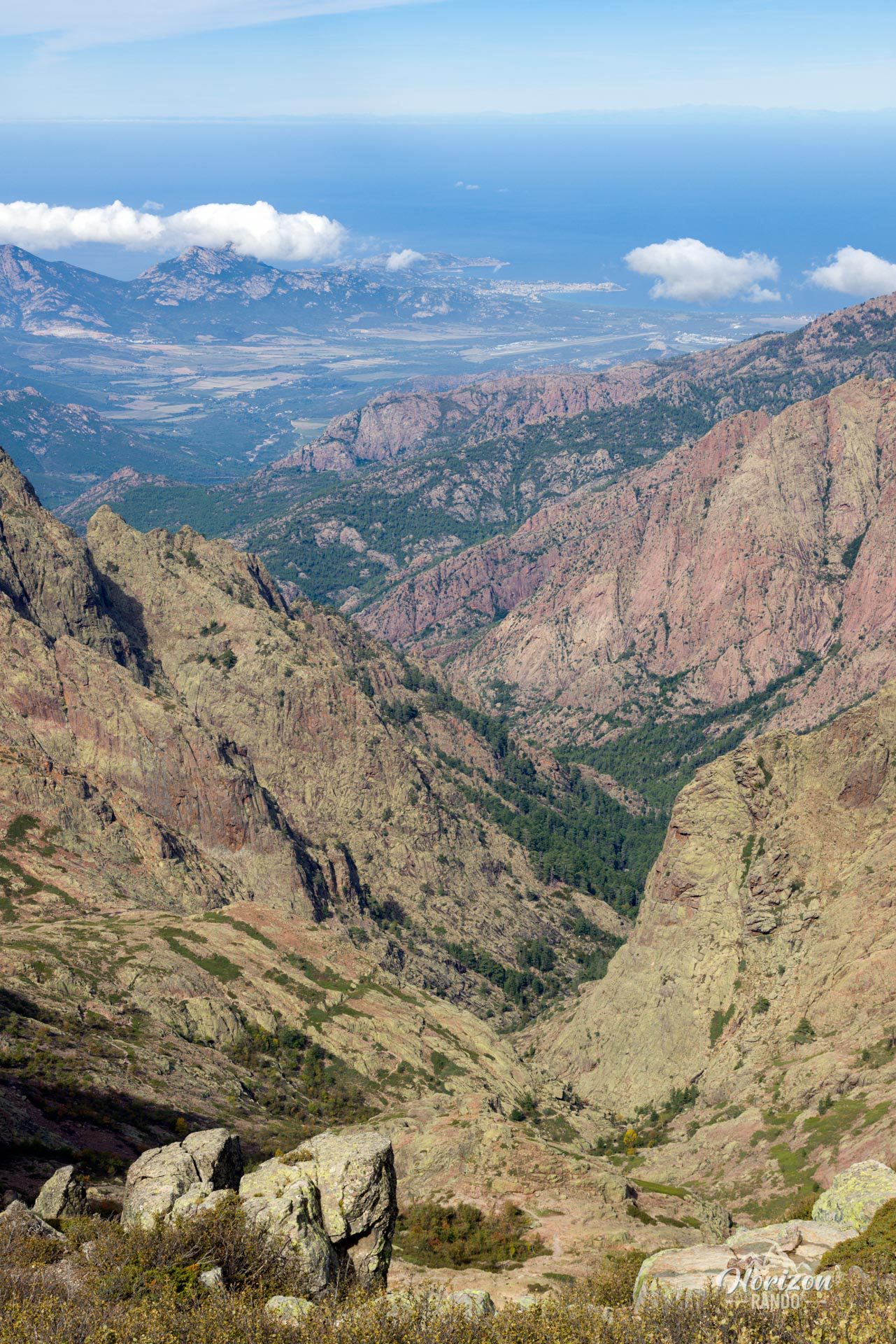
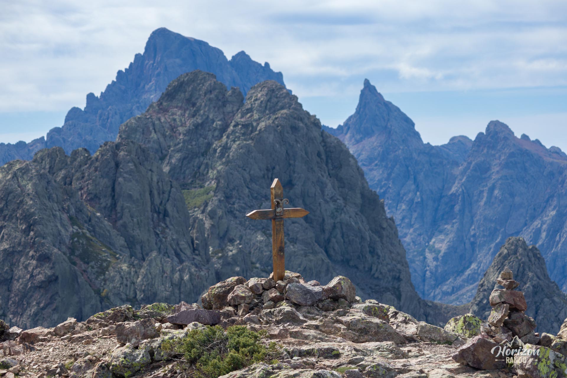
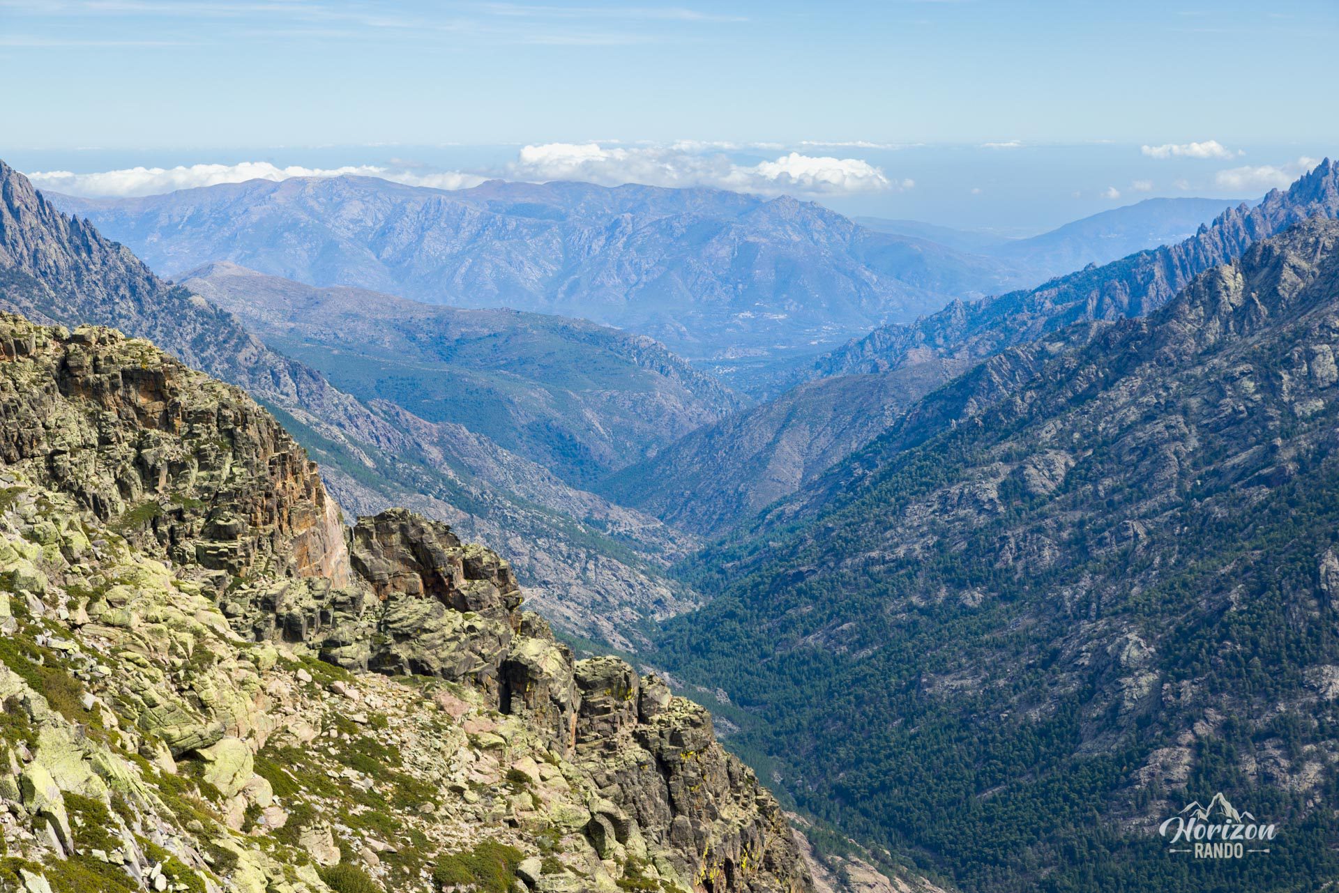
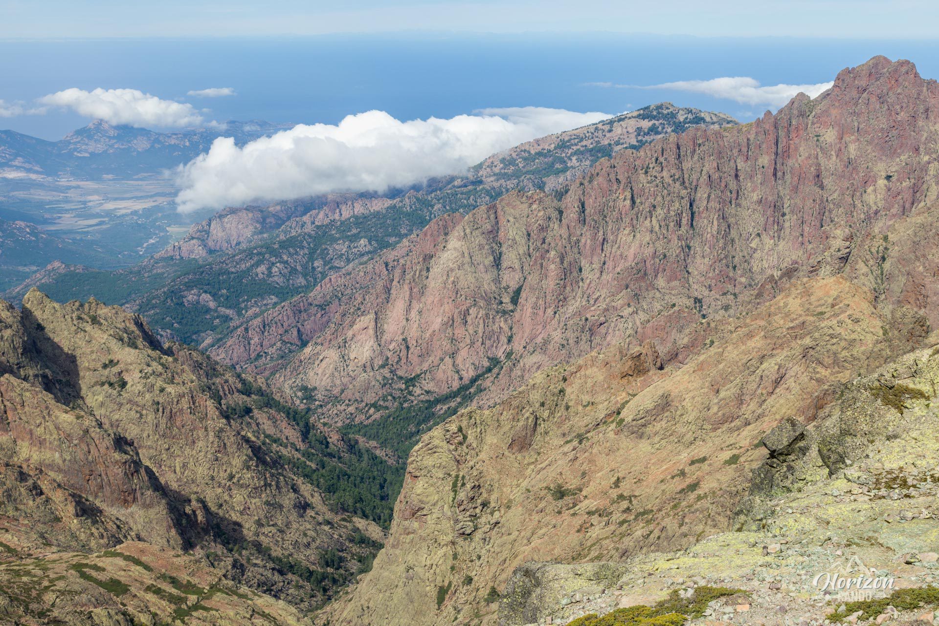
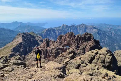
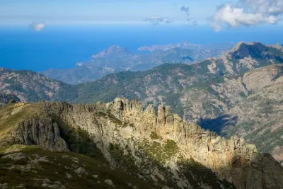
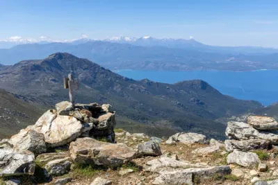
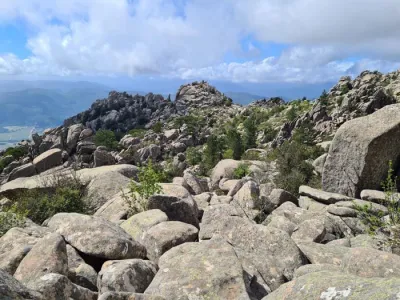
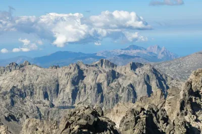
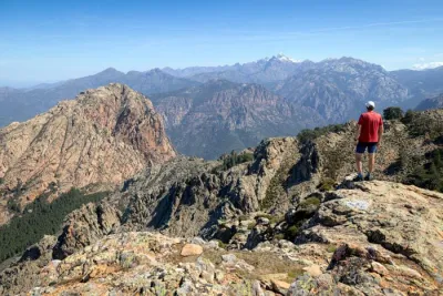
The sustained climb to the summit requires considerable effort, but the reward is well worth it: a spectacular 360° panorama embracing the Cinto massif, Paglia Orba, the Asco and Bonifatu valleys, and the sparkling Bay of Calvi in the distance.
Map and elevation profile of the hike
A Muvrella Hike
Description and difficulties of the hike
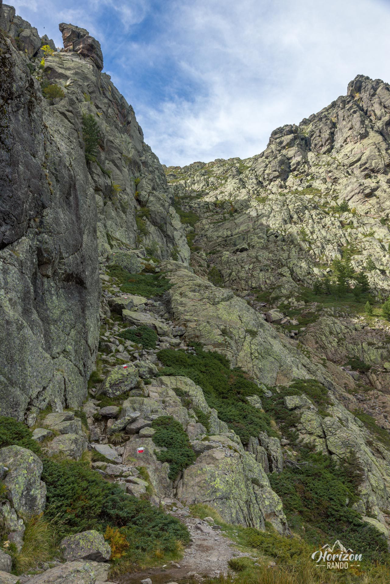
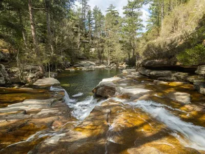
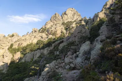
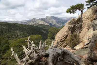
This hike requires good physical condition. The trail is steep and rugged from the start, with 730 meters of elevation gain concentrated in just two kilometers. After climbing through a pine forest for the first half hour, the terrain becomes much rockier and more technical. The trail then runs along the rock face, regularly requiring some scrambling to cross couloirs and slabs. However, these passages are not very exposed, as there is never a significant drop below.
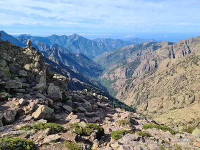
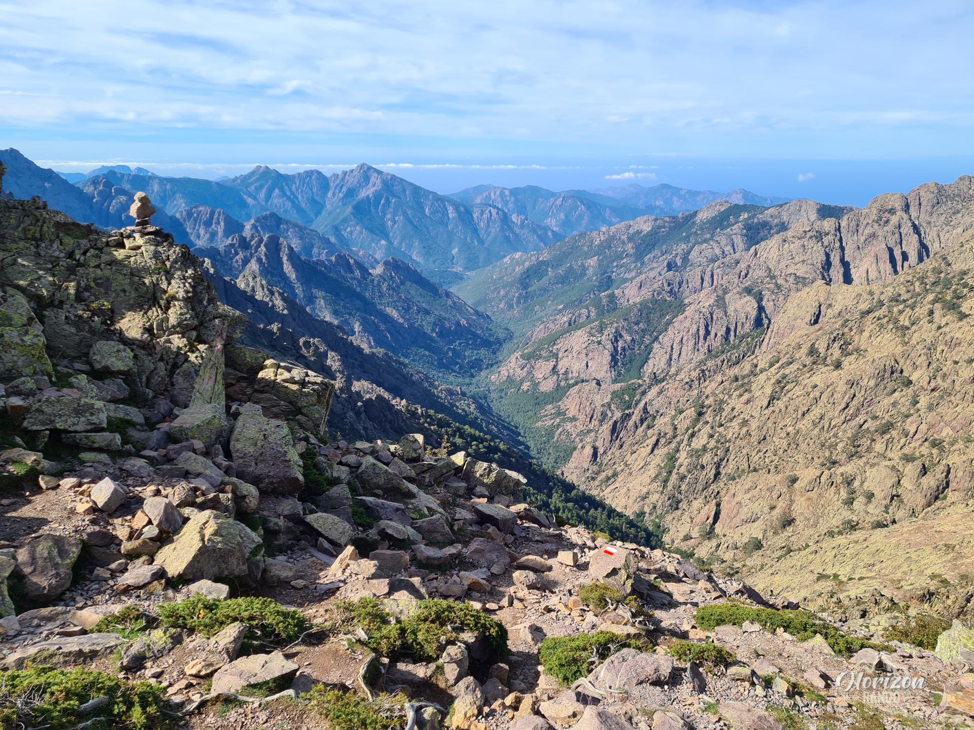
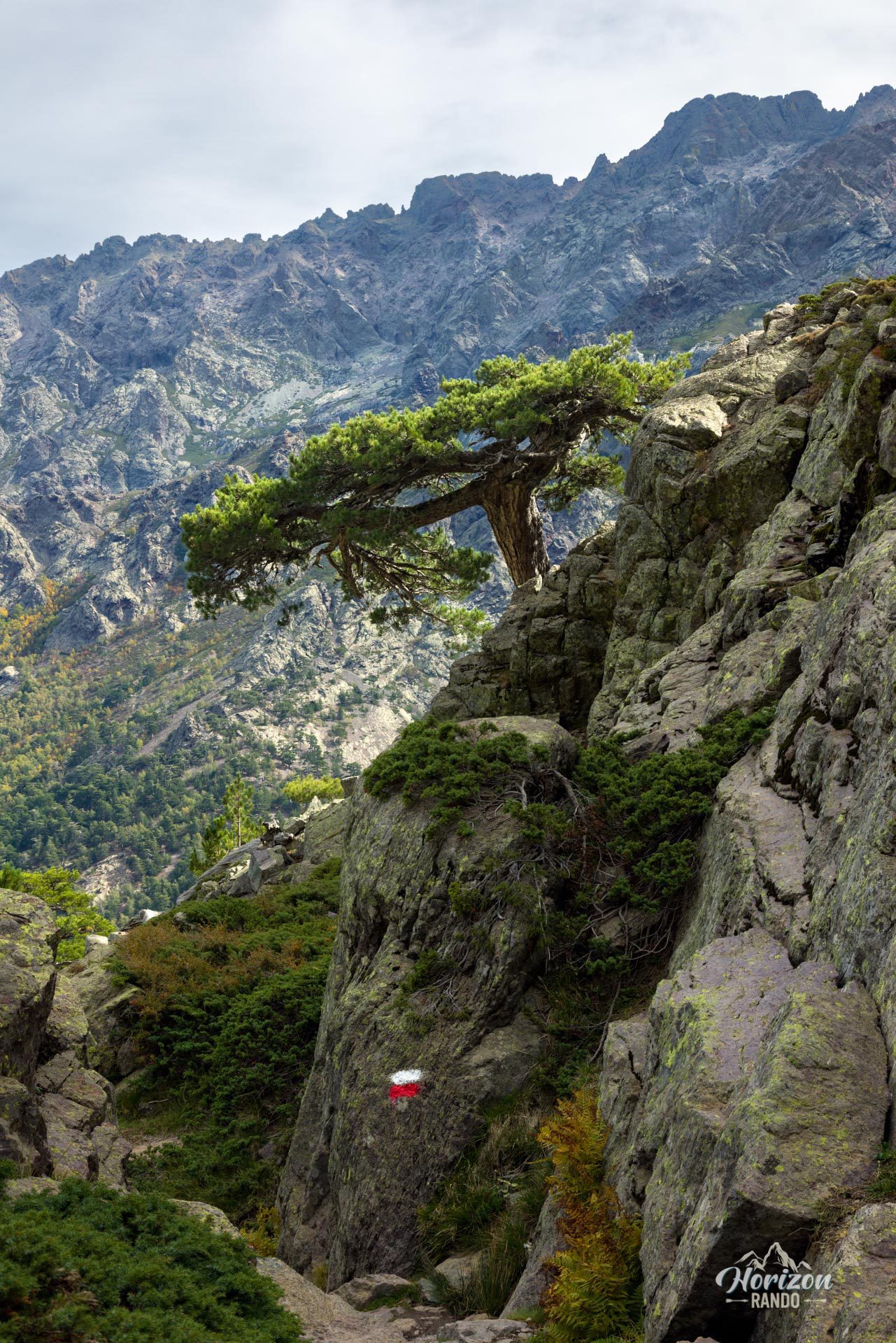
Red and white markings of the GR20 trail are present up to Bocca di Stagnu. Beyond the pass, the markings disappear, and you must rely on cairns to reach the summit in about 15 minutes. Orientation can be tricky because several trails intersect. I recommend following the GPX route to avoid any confusion.
What you'll love
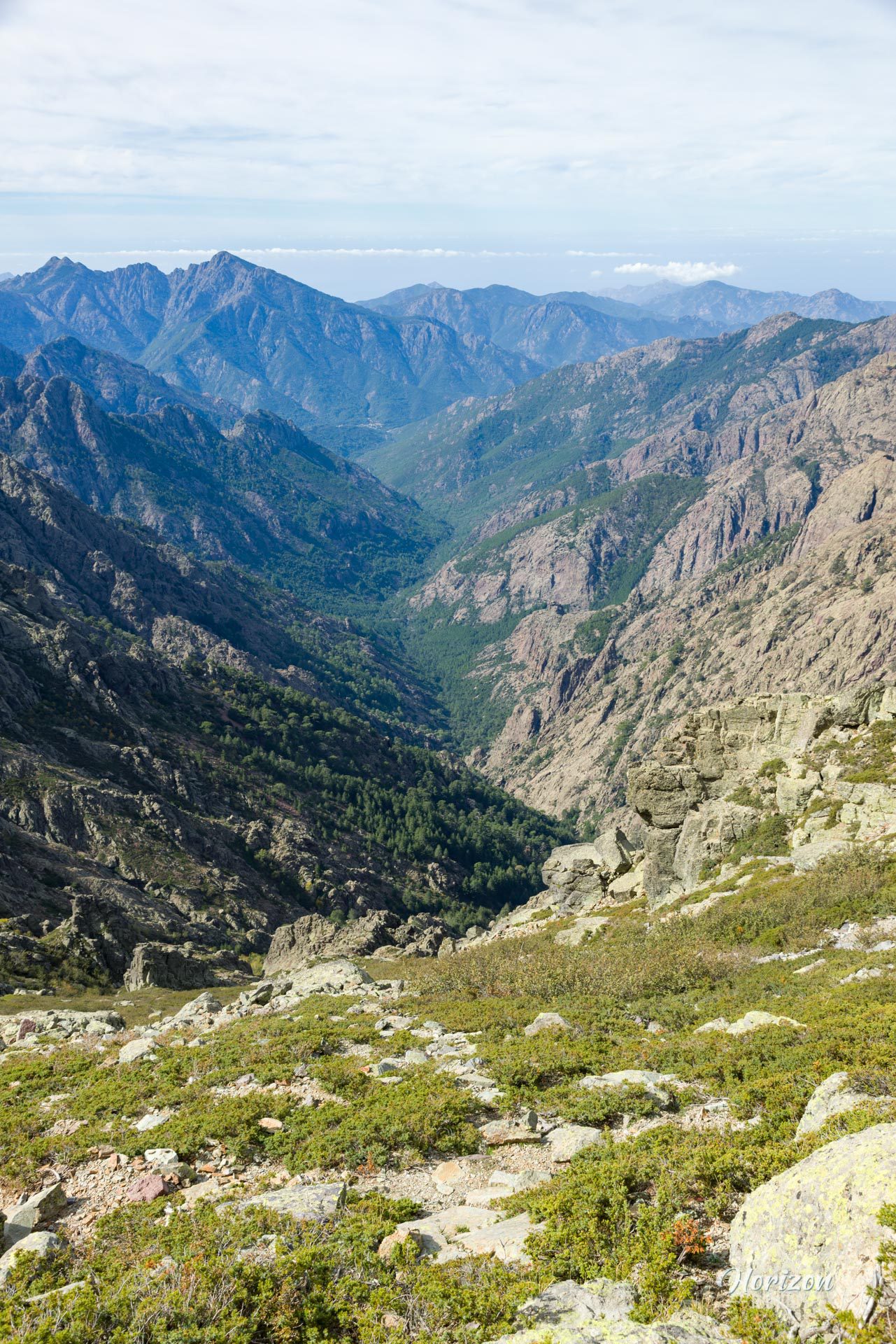
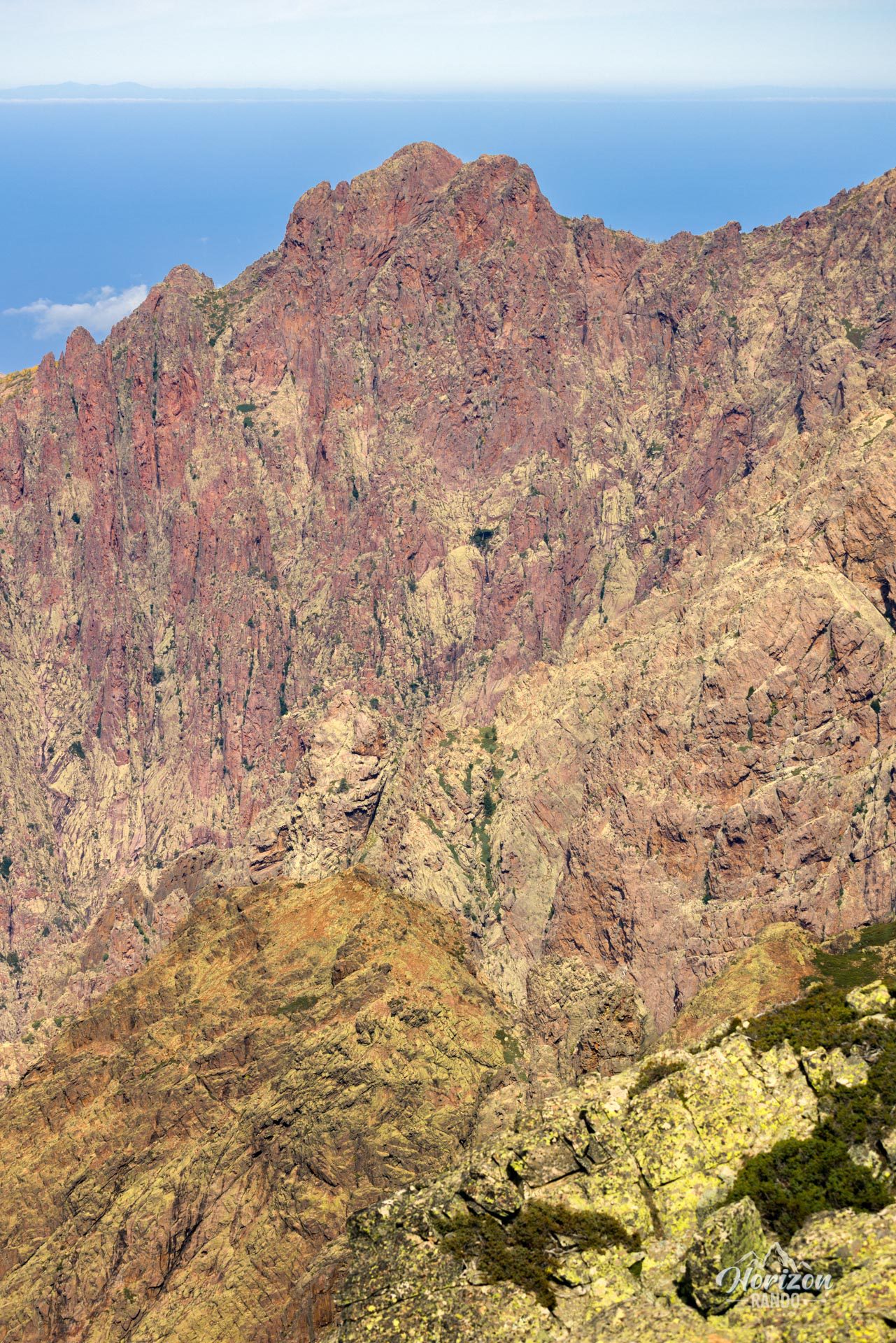
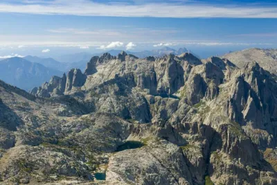
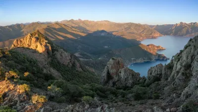
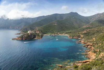
- The 360° panorama from the summit: On one side, you can admire the Asco Valley and the majestic peaks of the Cinto Massif, including Punta Minuta and Paglia Orba. On the other side, take in the colorful cliffs of the Bonifatu cirque, as well as the bay of Calvi and Revellata Point in the distance.
- A short, intense route: Only a 4-kilometer round-trip to reach a summit over 2,000 meters high—ideal if you only have half a day.
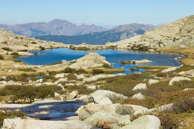
- The mineral and alpine atmosphere of the route, which is typical of Corsican high mountains.
Photos
See all 11 photos →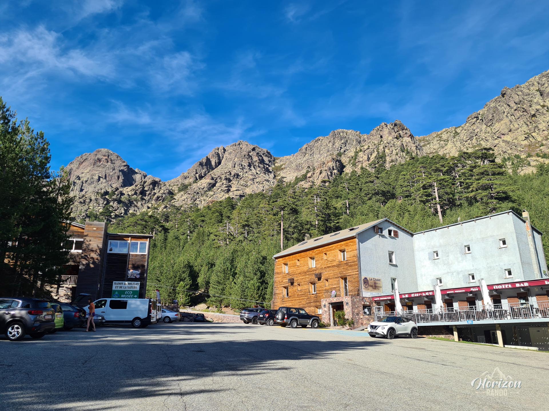
More hikes to do in Corsica
Nearby hikes







Printed from www.horizonrando.fr/en/corsica/a-muvrella/