





Val Venegia Hike
Key facts about the hike
- Difficulty
- Very easy Hikes are rated from very easy to very hard: my difficulty scale
- Duration
- 1h15 Estimated time, short breaks included (photos, water, snacks), picnic not included: how it is calculated
- Distance
- 4km
- out and back
- Elevation gain
- 80m
- Type of route
- Out and back
- Maximum altitude
- 1,840 m
- Vertiginous Five levels, depending on how exposed the route is: the levels in detail
- No
- Marked
- Yes
- Popularity
- High
- Start point
- 46.32164, 11.79296
- Activity
- Hiking
Hike overview
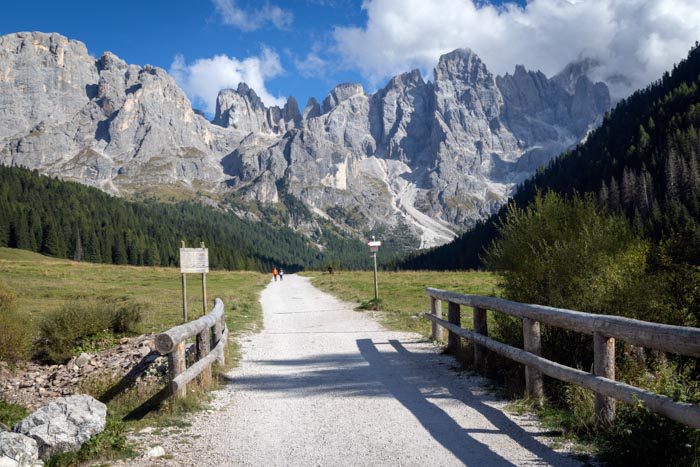
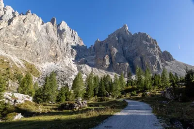
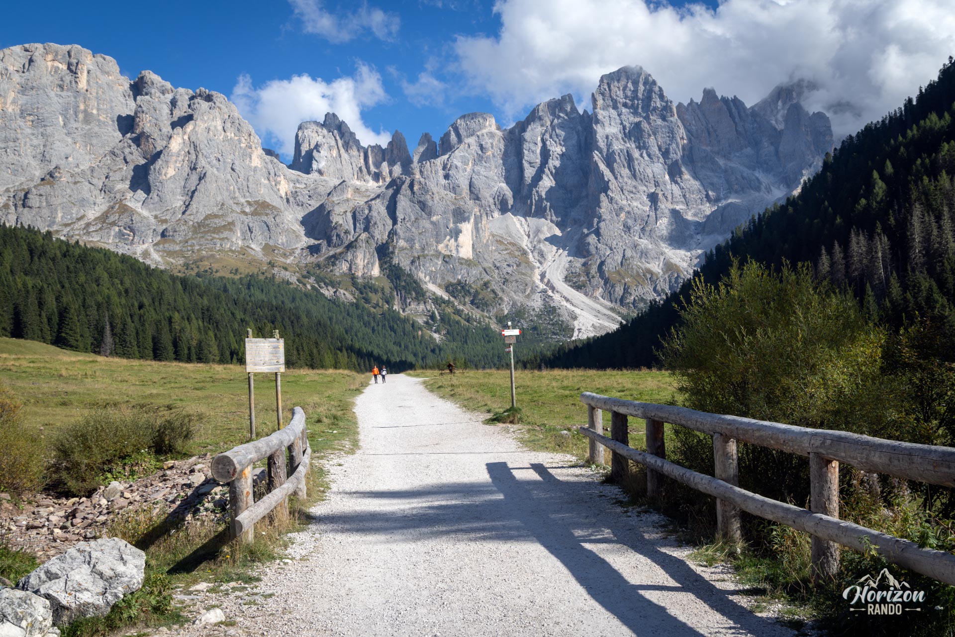
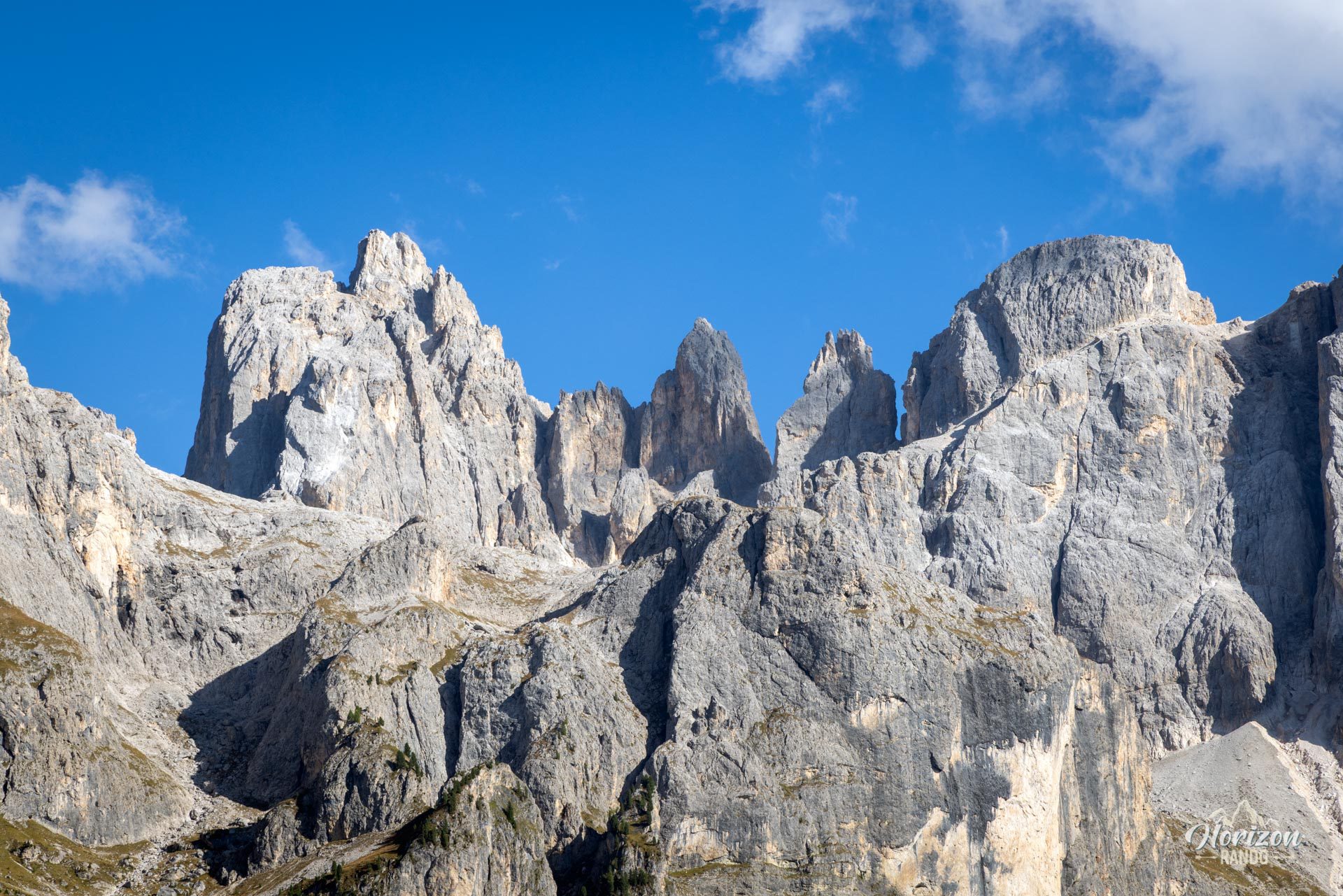
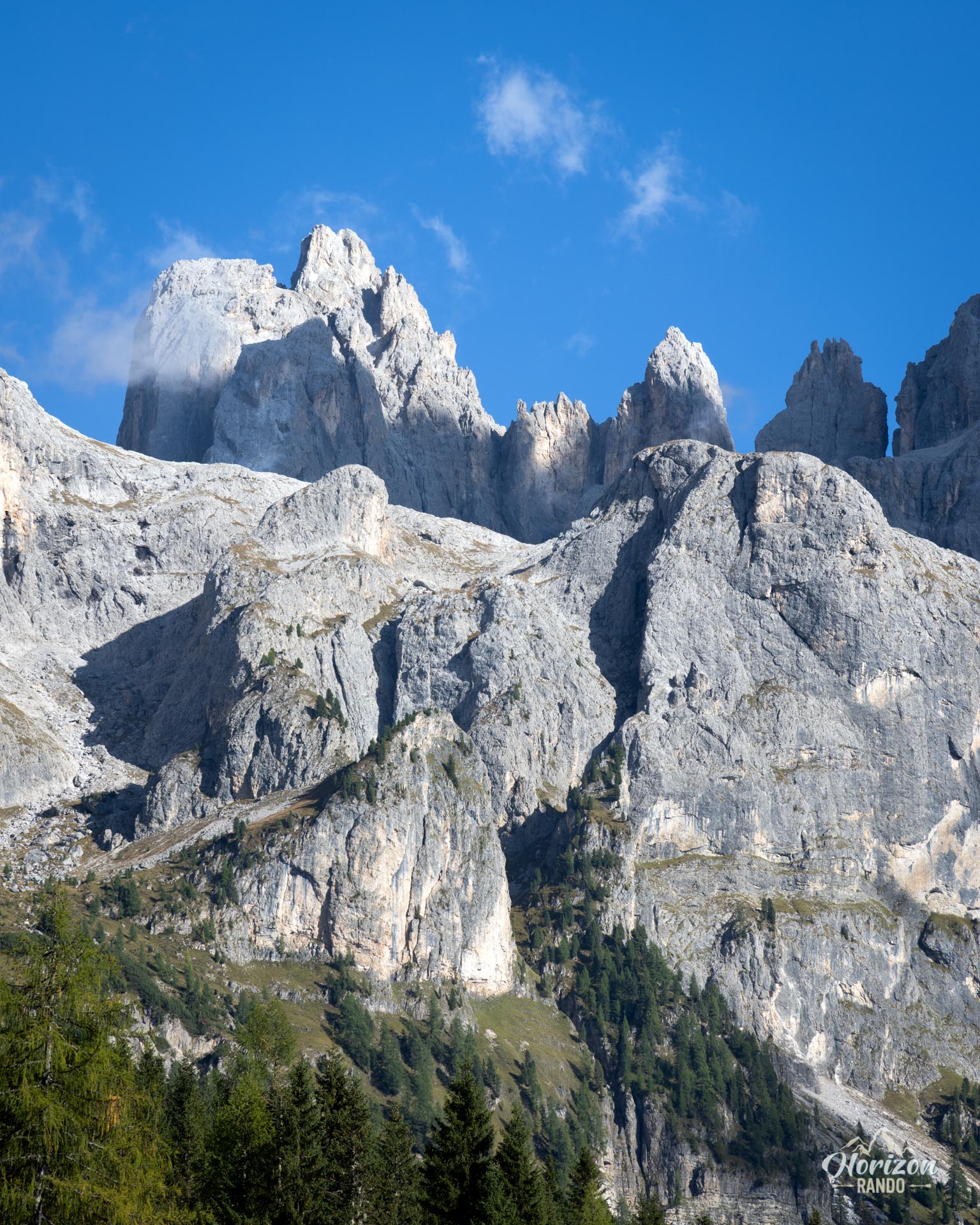
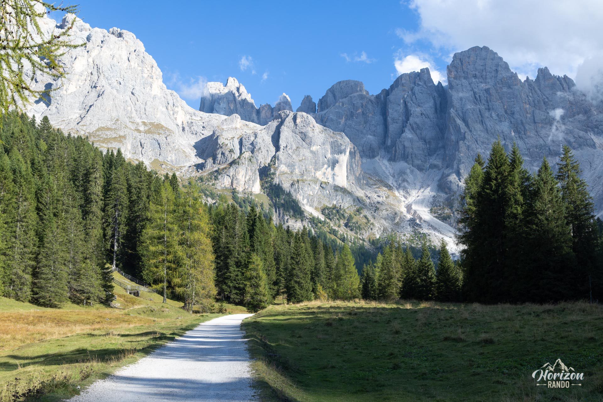
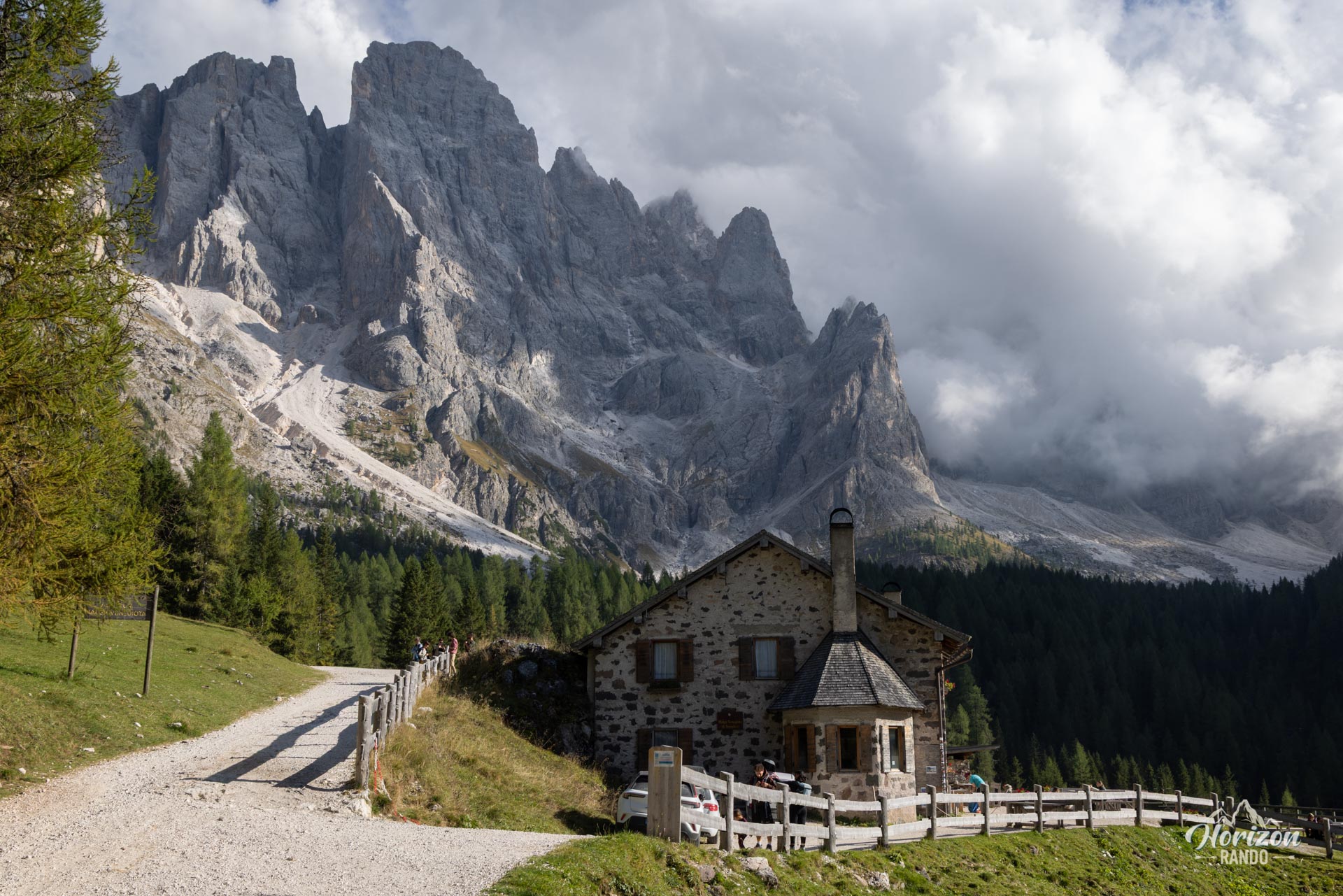
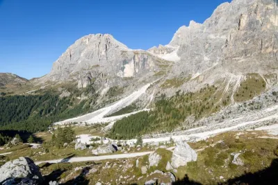
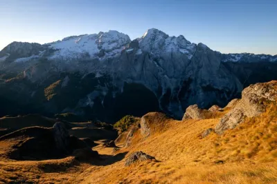
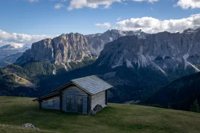
The Val Venegia hike is a very easy walk along the northern slope of the Pale di San Martino, one of the most spectacular mountain ranges in the Dolomites. Along a few kilometers of nearly flat track, you walk up the valley facing an almost vertical limestone rock face dominated by the Cima della Vezzana and the Monte Mulaz.
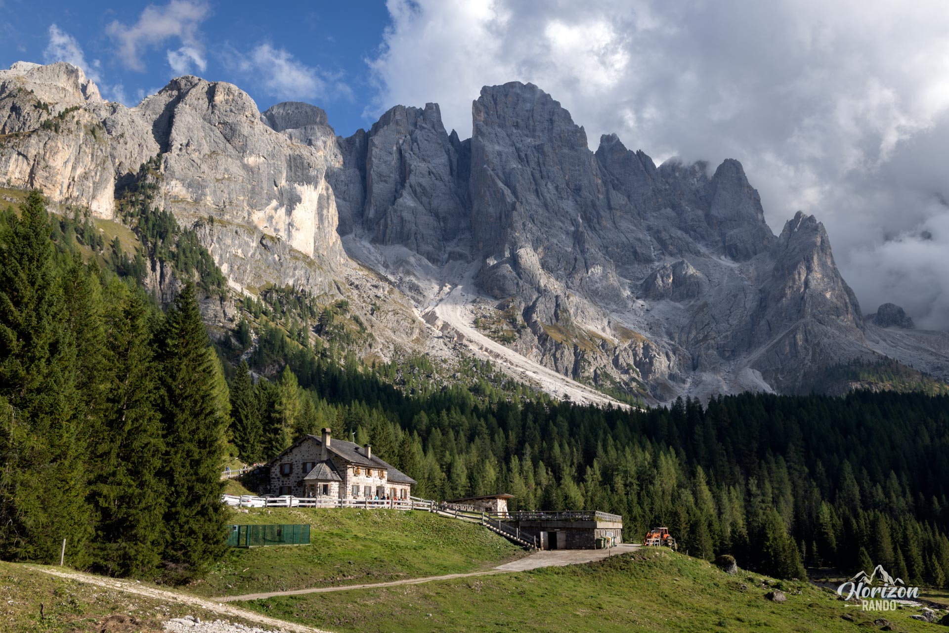
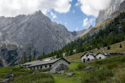
This sheet's route ends at Malga Venegiota, a traditional alpine hut. However, those wishing to extend the hike can continue to Baita Segantini, a renowned viewpoint overlooking the massif.
Map and elevation profile of the hike
Val Venegia Hike
Description and difficulties of the hike
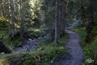
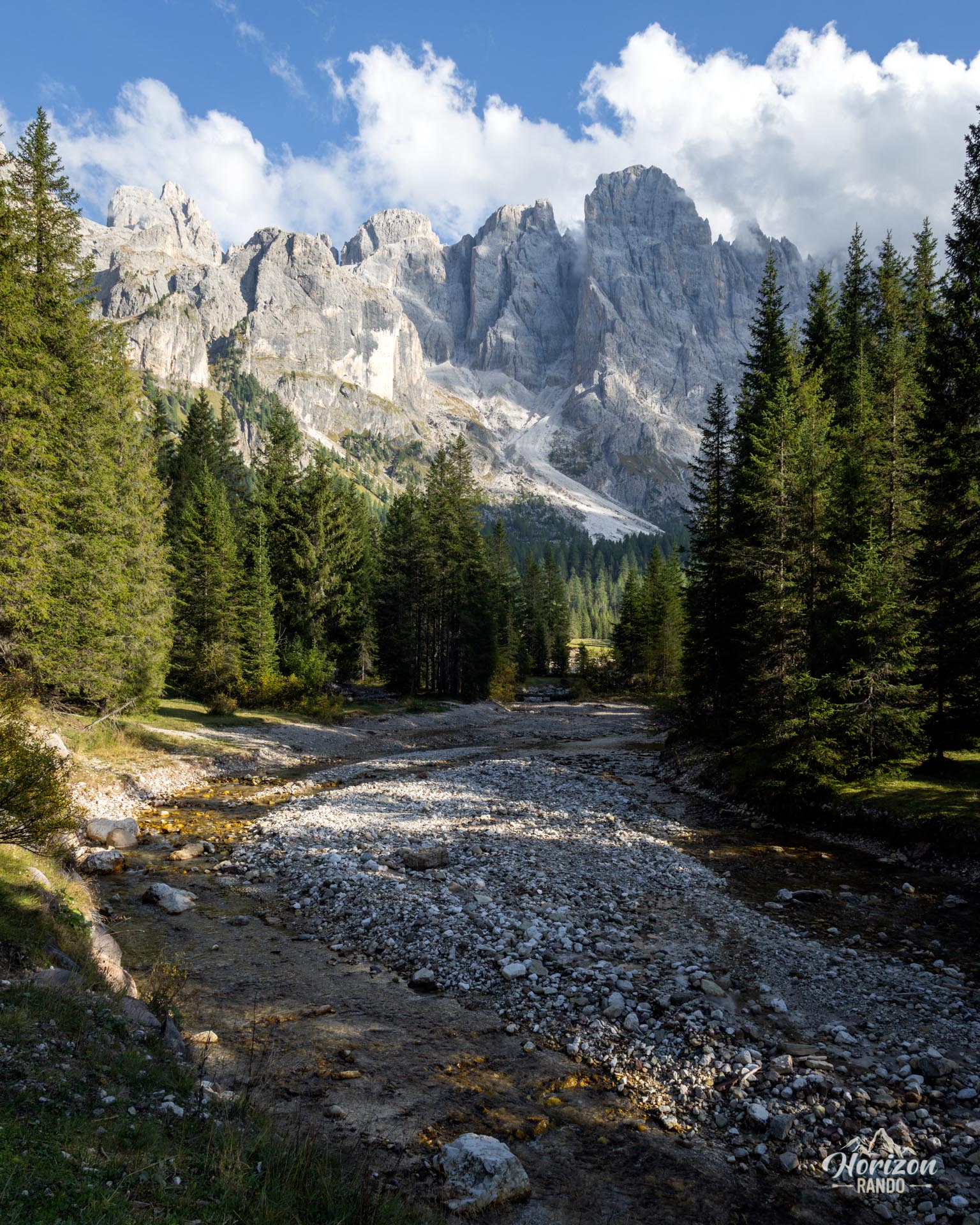
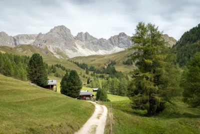
No difficulty on this route. From the Malga Venegia parking lot, follow Strada Val Venegia, a wide track reserved for pedestrians (and the few authorized vehicles serving the alpine pastures and malghe). The trail runs alongside the Travignolo stream and crosses alpine pastures where cows and horses graze freely. It then climbs very gently—with only a few dozen meters of elevation gain over the entire route—to Malga Venegiota, the endpoint of this route. The return follows the same route.
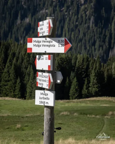
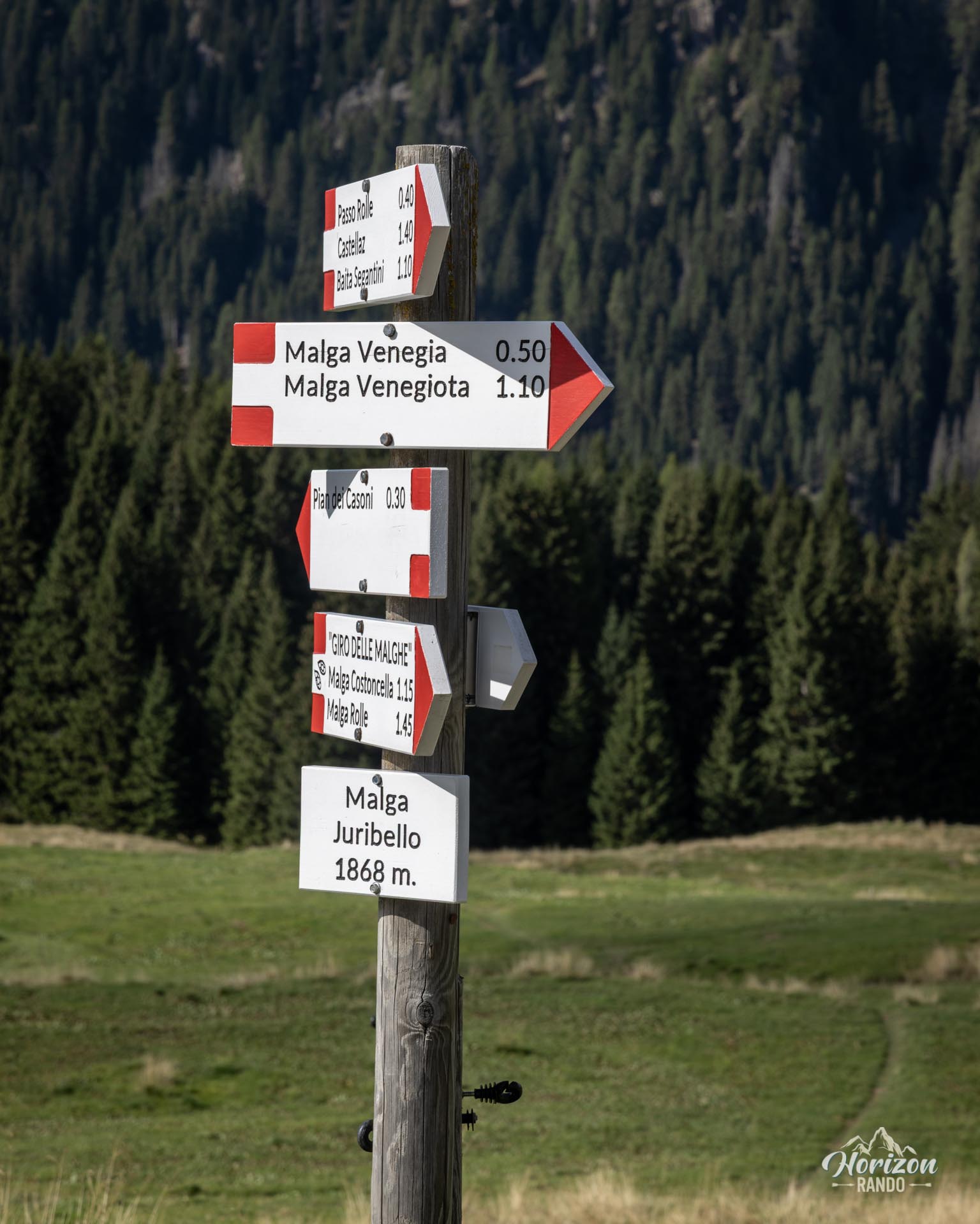
The trail is clearly marked and impossible to miss: a single path with signs at every intersection.
What you'll love
- The constant view of the north face of the Pale di San Martino, which rises vertically above the valley.
- Accessible to everyone: children, all-terrain strollers, and casual hikers alike. Ideal for families or as a rest day.
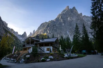
- The two malghe along the route (Malga Venegia and Malga Venegiota) where you can sit down and sample local produce.
Practical information
Parking
Two paid parking lots serve Val Venegia. One is at Malga Venegia (€10/day in 2025) and the other is at Pian dei Casoni (€7/day in 2025). The latter is located further down near the road and adds around 2 km to the total round-trip distance. During peak season, arrive early as spots fill up quickly.
Dining
Malga Venegia (slightly off the trail) and Malga Venegiota (at the end of the route) are open during the season, generally from June through late September or mid-October.
Photos
See all 9 photos →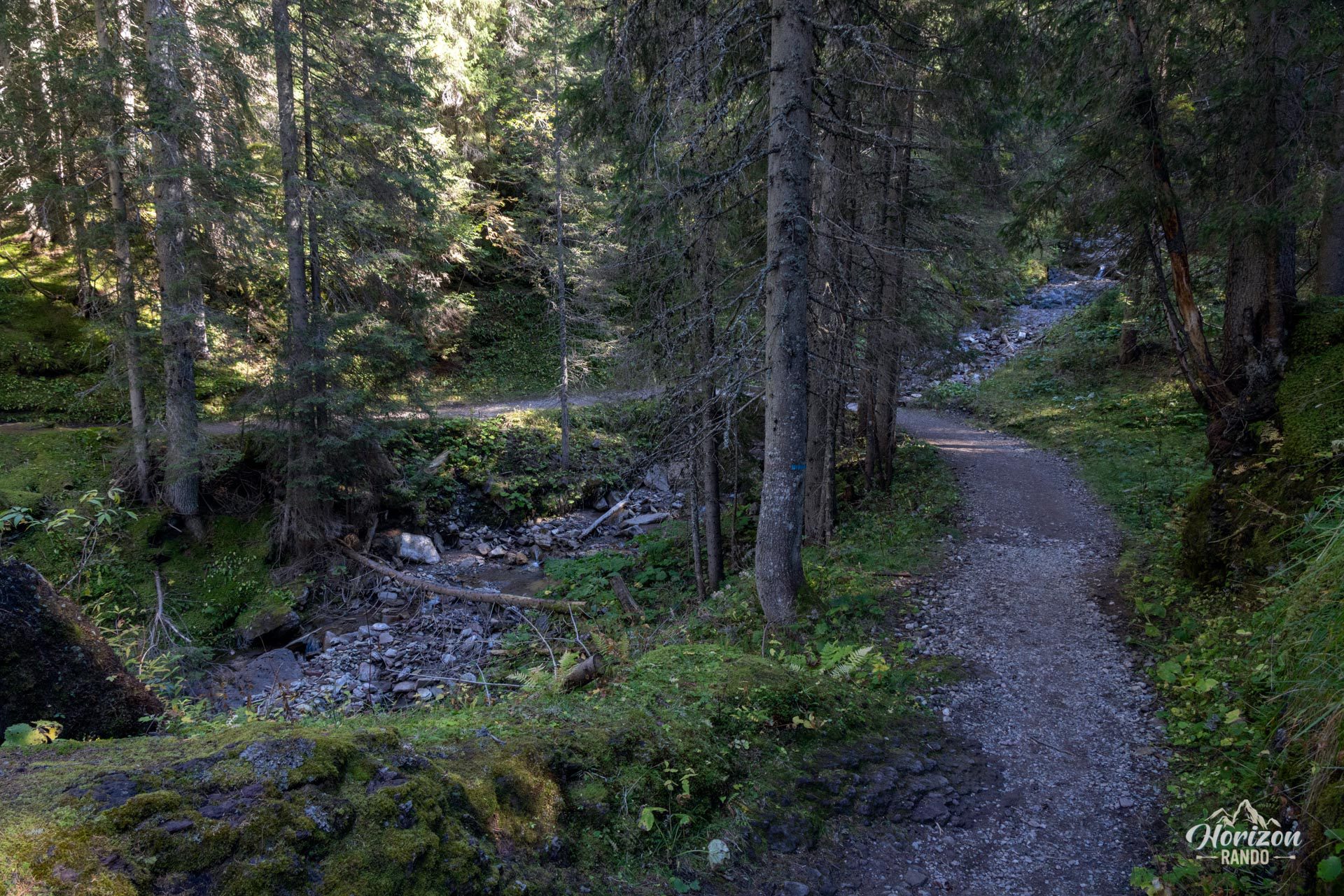
More hikes to do in the Dolomites
Nearby hikes
Printed from www.horizonrando.fr/en/hiking-dolomites/val-venegia-hike/