





Croda Negra Hike
Key facts about the hike
- Difficulty
- Easy Hikes are rated from very easy to very hard: my difficulty scale
- Duration
- 2h45 Estimated time, short breaks included (photos, water, snacks), picnic not included: how it is calculated
- Distance
- 7.3km
- out and back
- Elevation gain
- 450m
- Type of route
- Out and back
- Maximum altitude
- 2,518 m
- Vertiginous Five levels, depending on how exposed the route is: the levels in detail
- Slightly
- Marked
- Partially
- Popularity
- Very low
- Start point
- 46.51843, 12.00963
- Activity
- Hiking
Hike overview
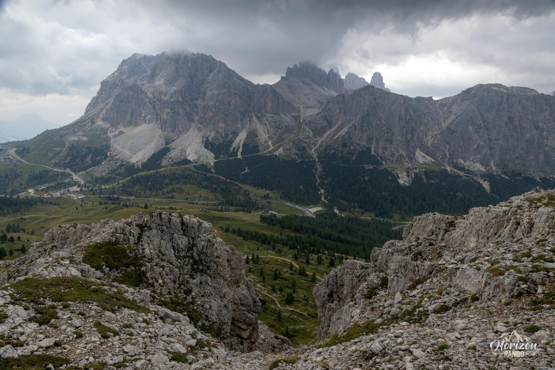
This hike starts at Passo Falzarego and climbs Croda Negra (2,518 m), a modest peak between the imposing Lagazuoi and Averau mountains. While Passo Falzarego is crowded, with most visitors rushing to the Lagazuoi cable car right across the road, the Croda Negra trail attracts very few people, making it a rare haven of tranquility in the Dolomites.
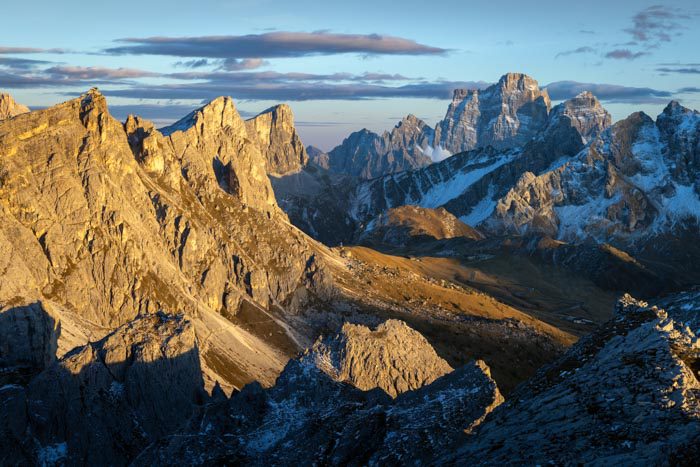
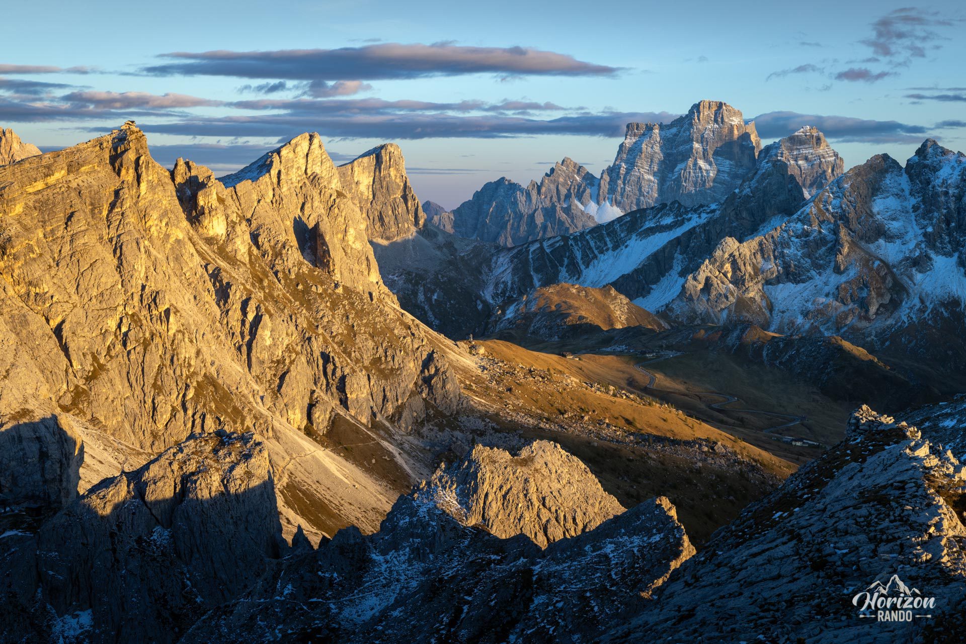
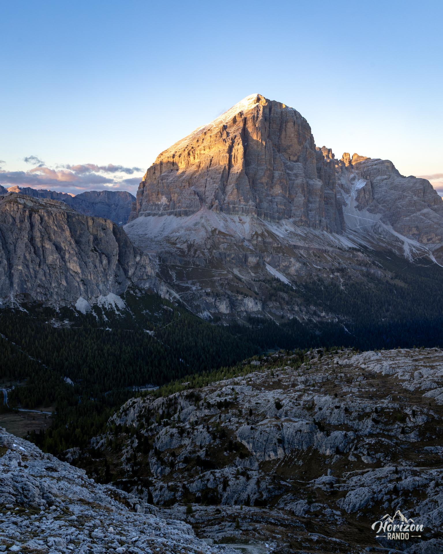
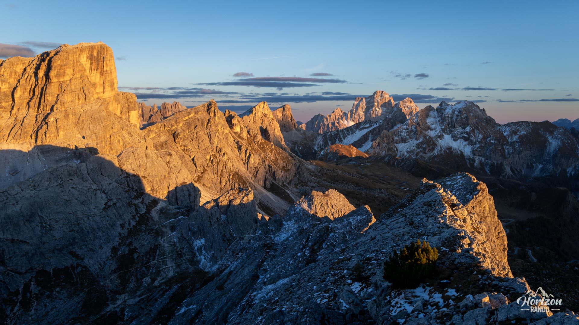
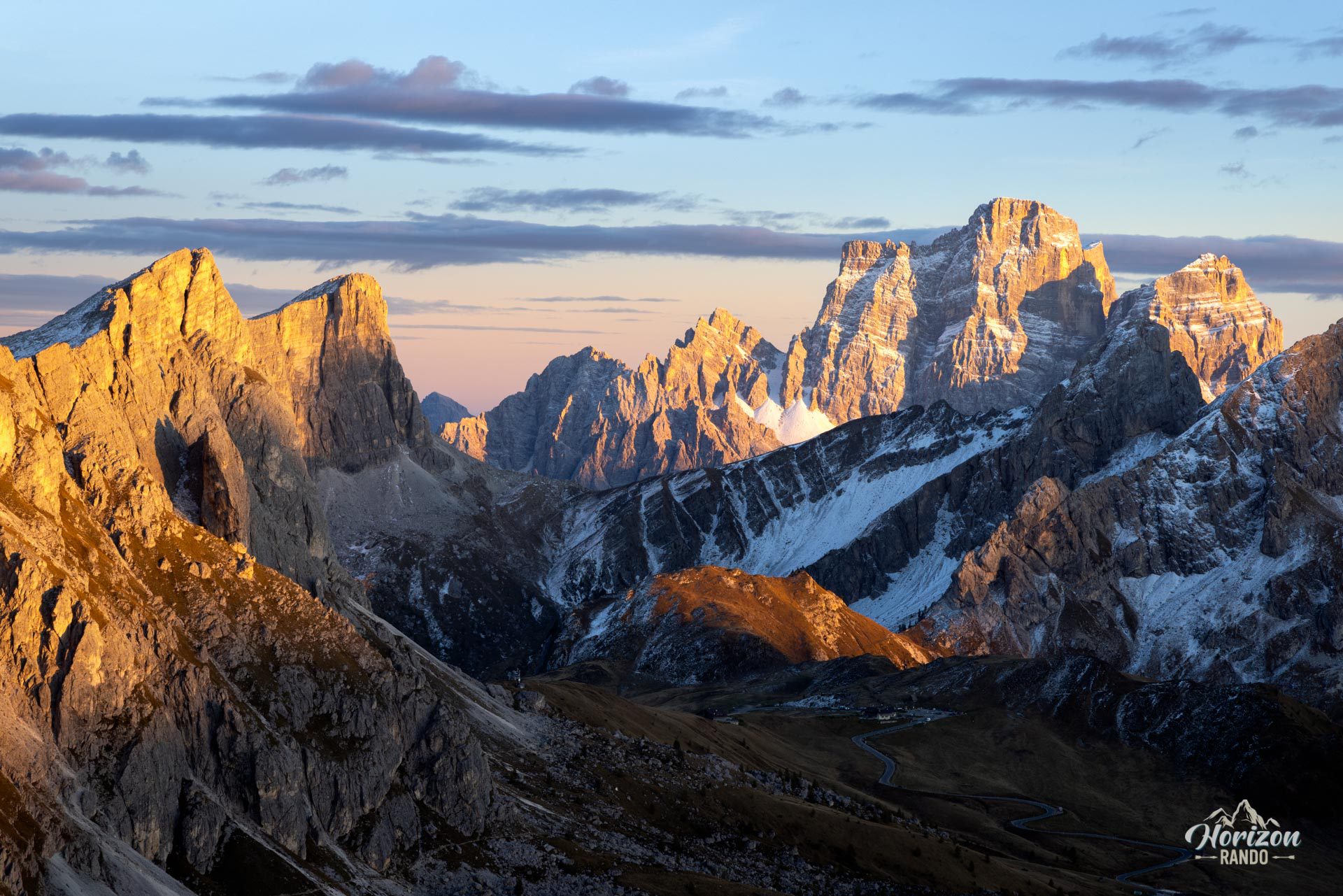
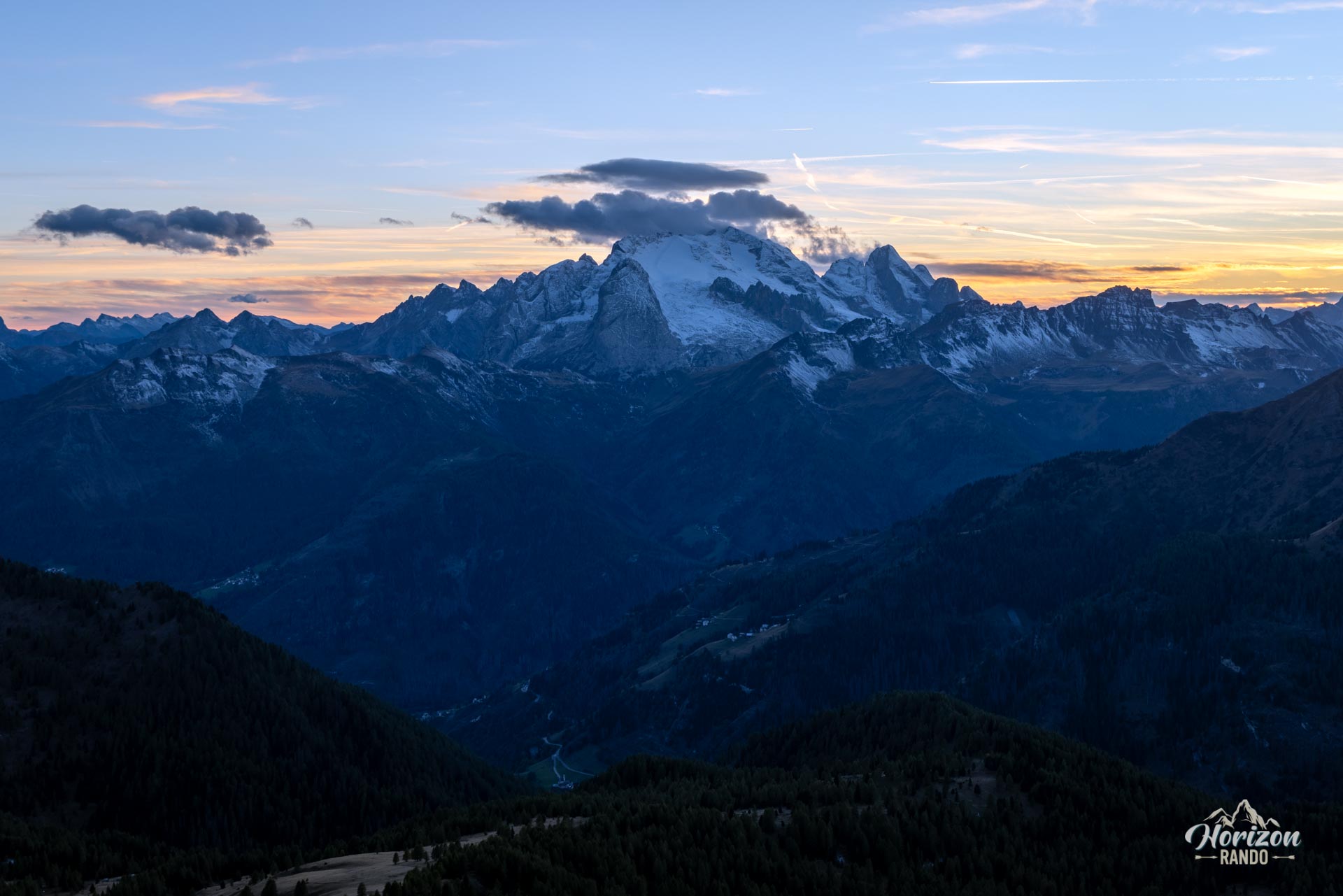
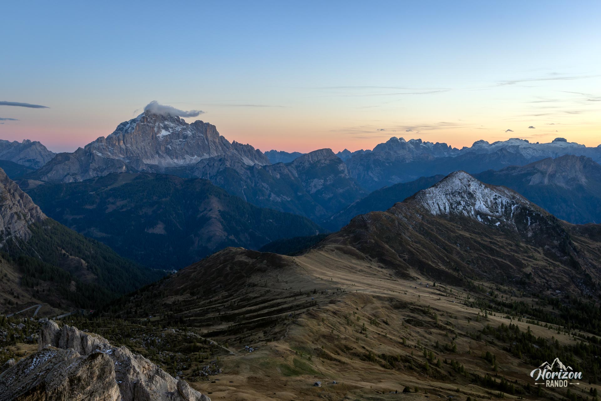
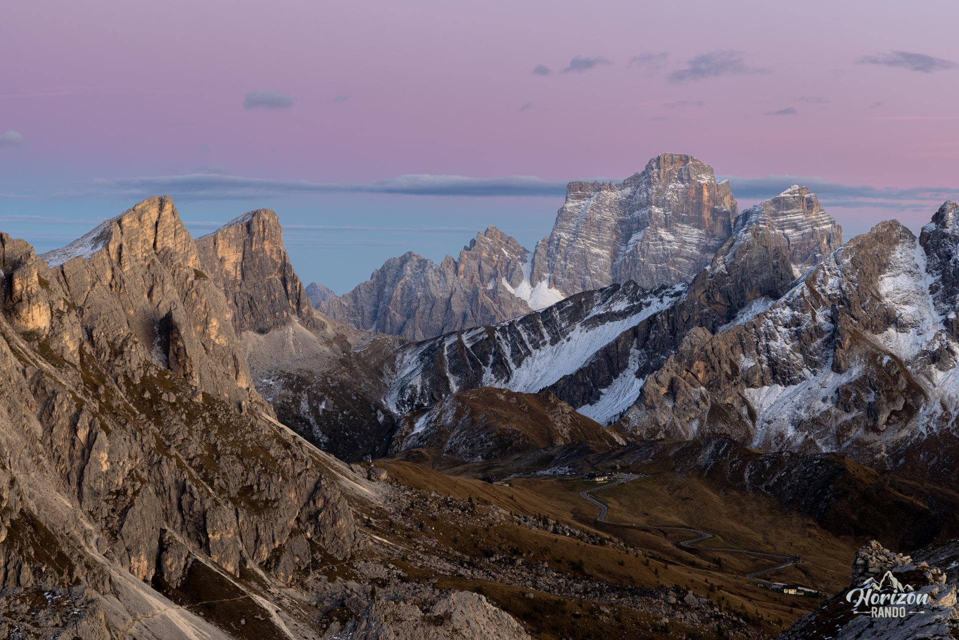
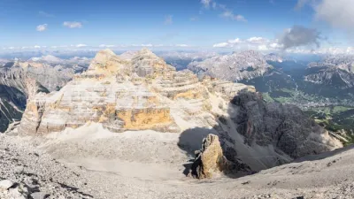
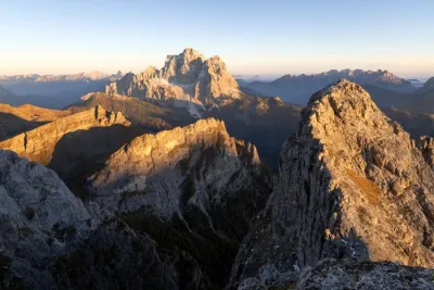
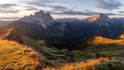
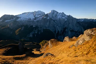
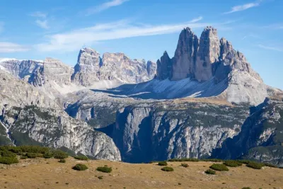
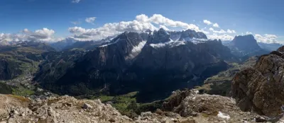
Yet, the summit panorama is wide open and offers a magnificent view of the area's major peaks: Tofana di Rozes, Pelmo, Marmolada, Nuvolau, and Cristallo. The route includes a short detour to Lago di Limides on the way back.
Map and elevation profile of the hike
Croda Negra Hike
Description and difficulties of the hike
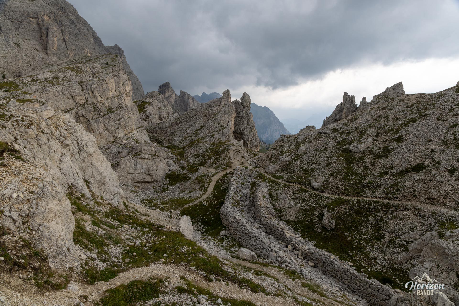
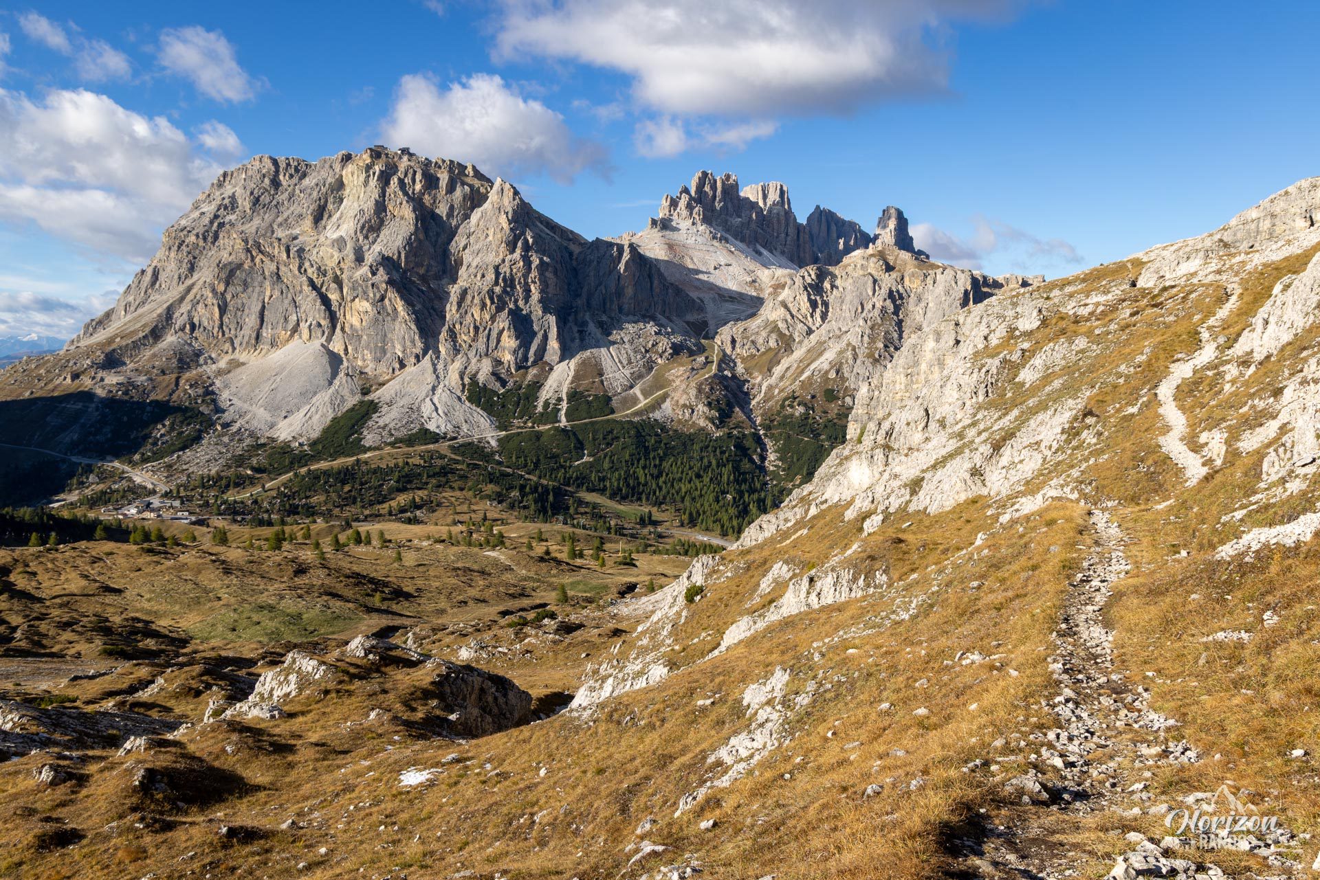
From the Passo Falzarego parking lot, follow Trail No. 441, a wide and fairly busy track, toward Rifugio Averau. After about one kilometer (around 20 minutes), turn right onto Trail No. 422. The ascent begins in a meadow with no waymarks, where you follow a narrow path that is sometimes barely visible through the grass.
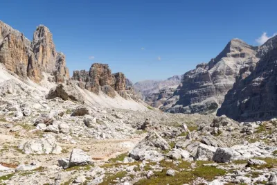
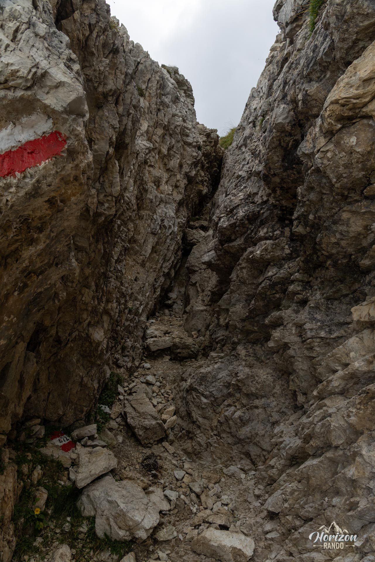
The terrain then becomes rockier, and the atmosphere becomes quieter. A short rocky gully requires some easy scrambling for a few meters—nothing technical, but it does require a certain level of confidence. Then a steady climb up scree, in switchbacks, to the broad summit platform at 2,518 m.
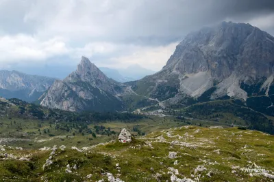
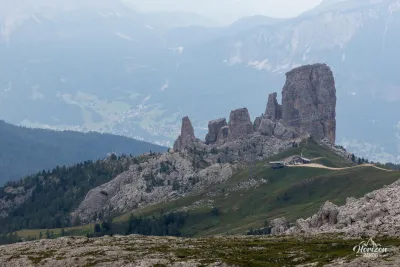
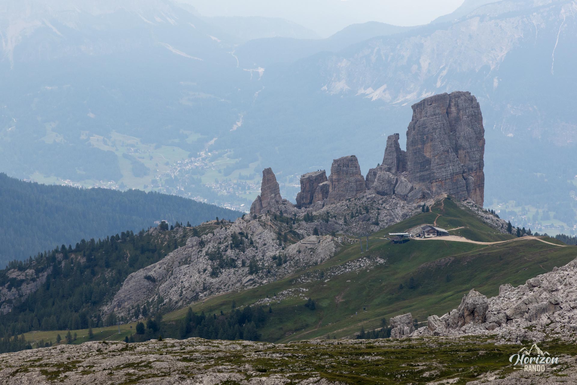
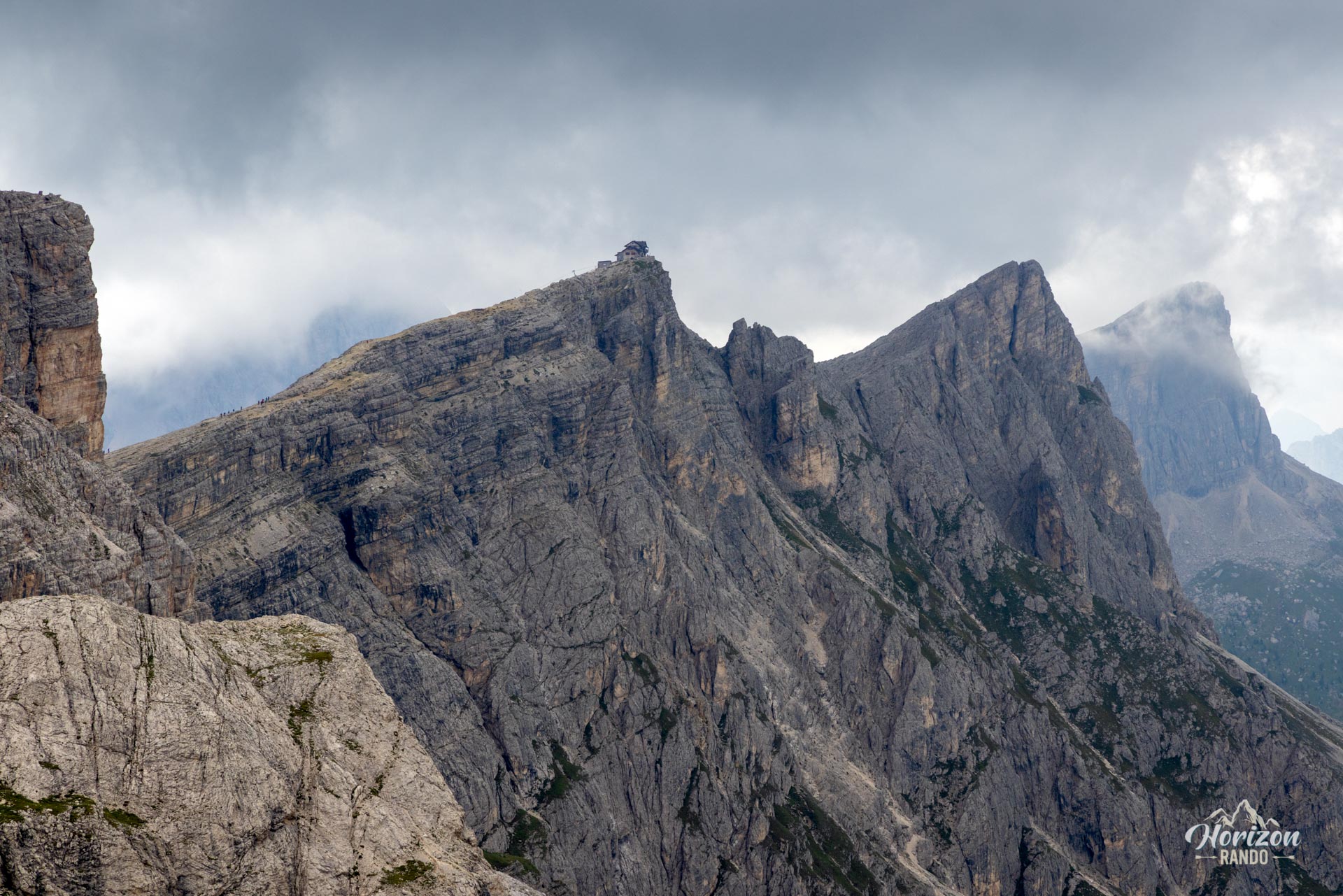
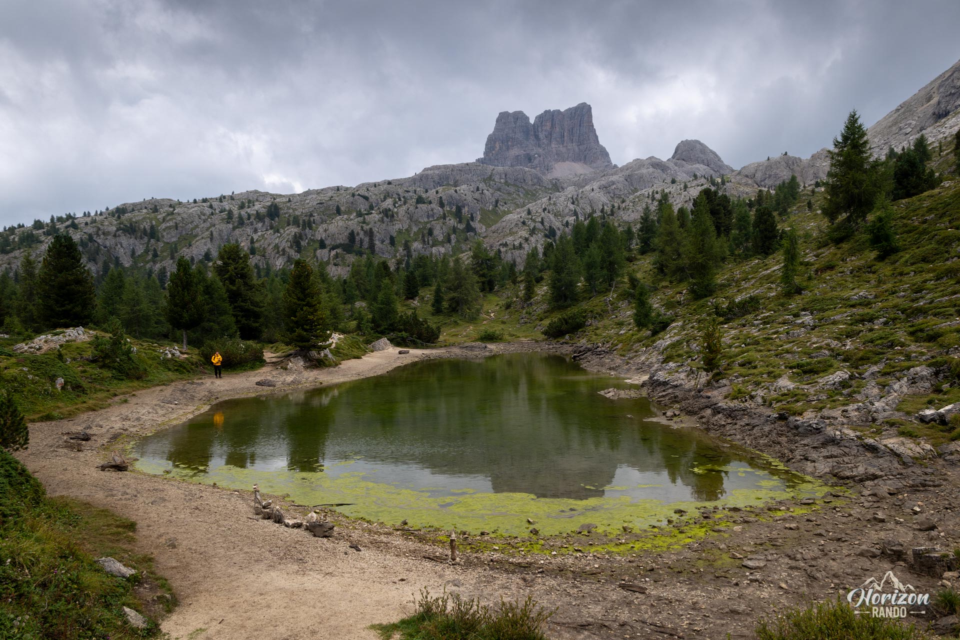
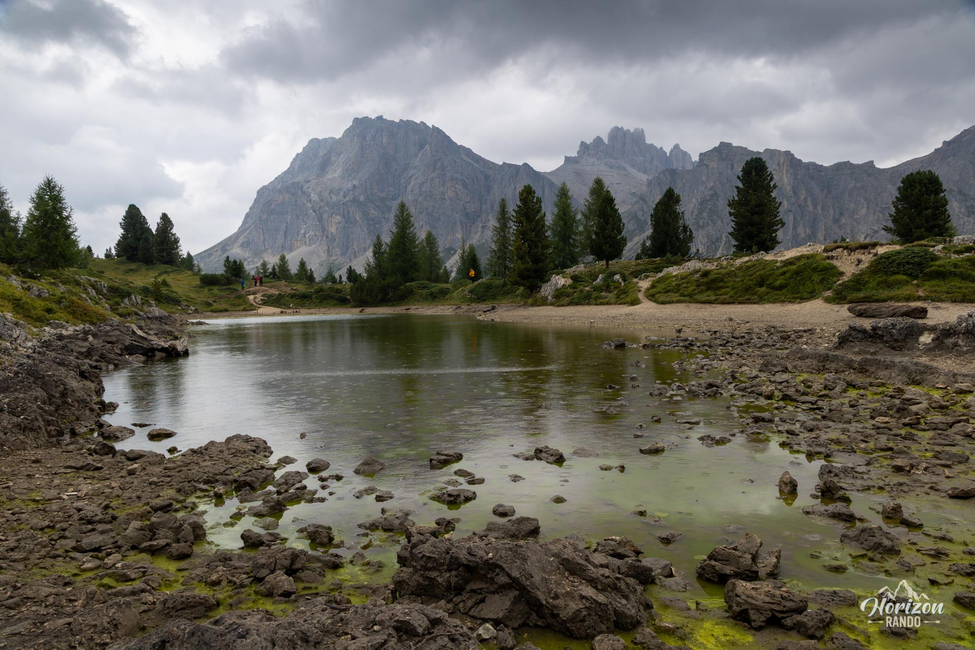
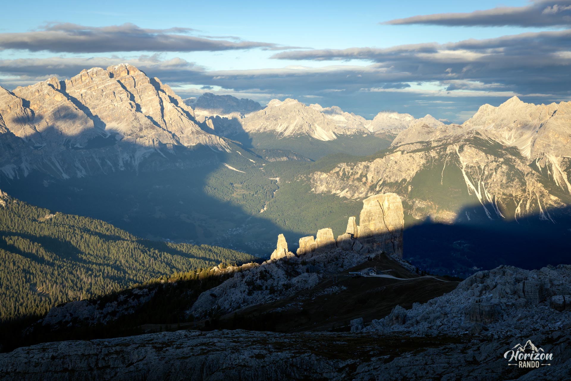
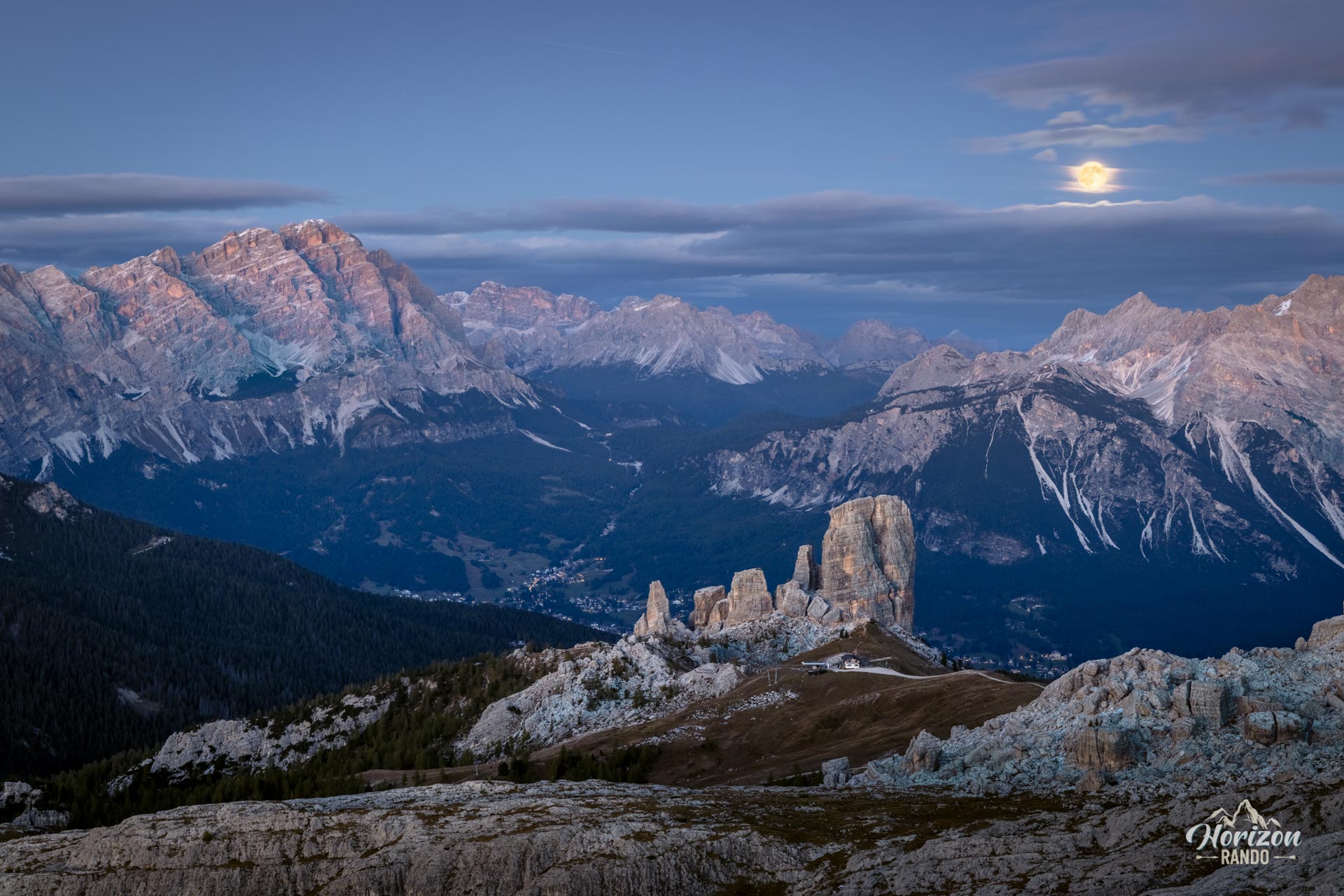
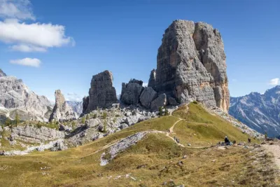
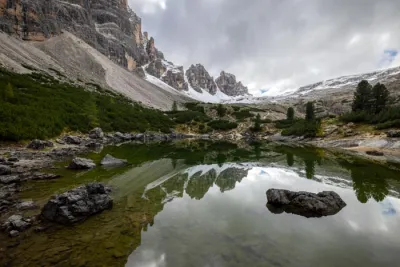
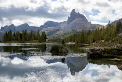
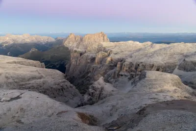
The view from there is remarkable and completely unobstructed: Lagazuoi, Tofana di Rozes, Sorapiss, Averau, Nuvolau, and Cinque Torri—almost all of the iconic peaks of the Cortina area—are visible. The return follows the same route. A 15-minute detour will take you to Lago di Limides, a small mountain lake nestled in a green valley at the foot of Averau.
What you'll love
- The magnificent panorama of the great peaks of the Dolomites: Lagazuoi, Tofana di Rozes, Sorapiss, Cinque Torri, and nearby Averau.
- The quiet summit away from the bustle of Passo Falzarego and Lagazuoi.
- Lago di Limides and its reflections of Averau, one of the most photographed lakes in the area.
Practical information
Parking
A large, free parking lot is available at Passo Falzarego, at the base of the Lagazuoi cable car (as of 2025). It is very busy in the high season, so arrive early to ensure a spot.
Toponymy
Croda Negra means "black rock" in Lombard, referring to the dark color of its walls. The summit is also known locally as Punta Gallina.
Photos
See all 18 photos →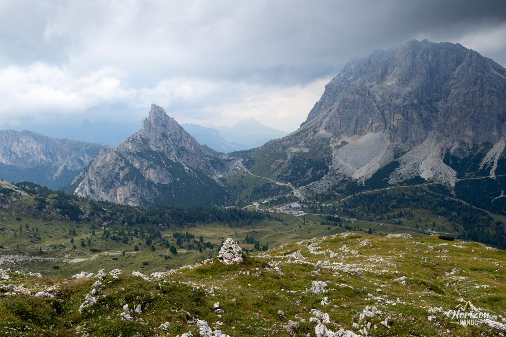
More hikes to do in the Dolomites
Nearby hikes
Printed from www.horizonrando.fr/en/hiking-dolomites/croda-negra-hike/