





Sass de Putia Loop Hike
Key facts about the hike
- Difficulty
- Moderate Hikes are rated from very easy to very hard: my difficulty scale
- Duration
- 4h30 Estimated time, short breaks included (photos, water, snacks), picnic not included: how it is calculated
- Distance
- 13.1km
- Elevation gain
- 690m
- Type of route
- Loop
- Maximum altitude
- 2,373 m
- Vertiginous Five levels, depending on how exposed the route is: the levels in detail
- Slightly
- Marked
- Yes
- Popularity
- High
- Start point
- 46.67487, 11.81427
- Activity
- Hiking
Hike overview
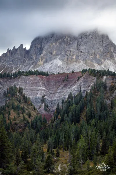
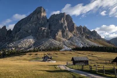
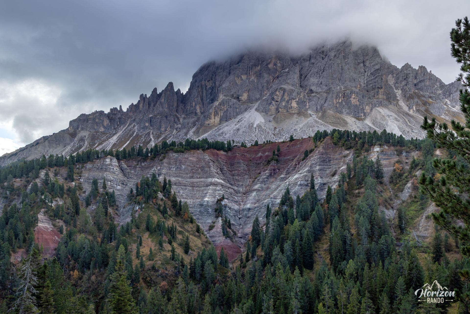
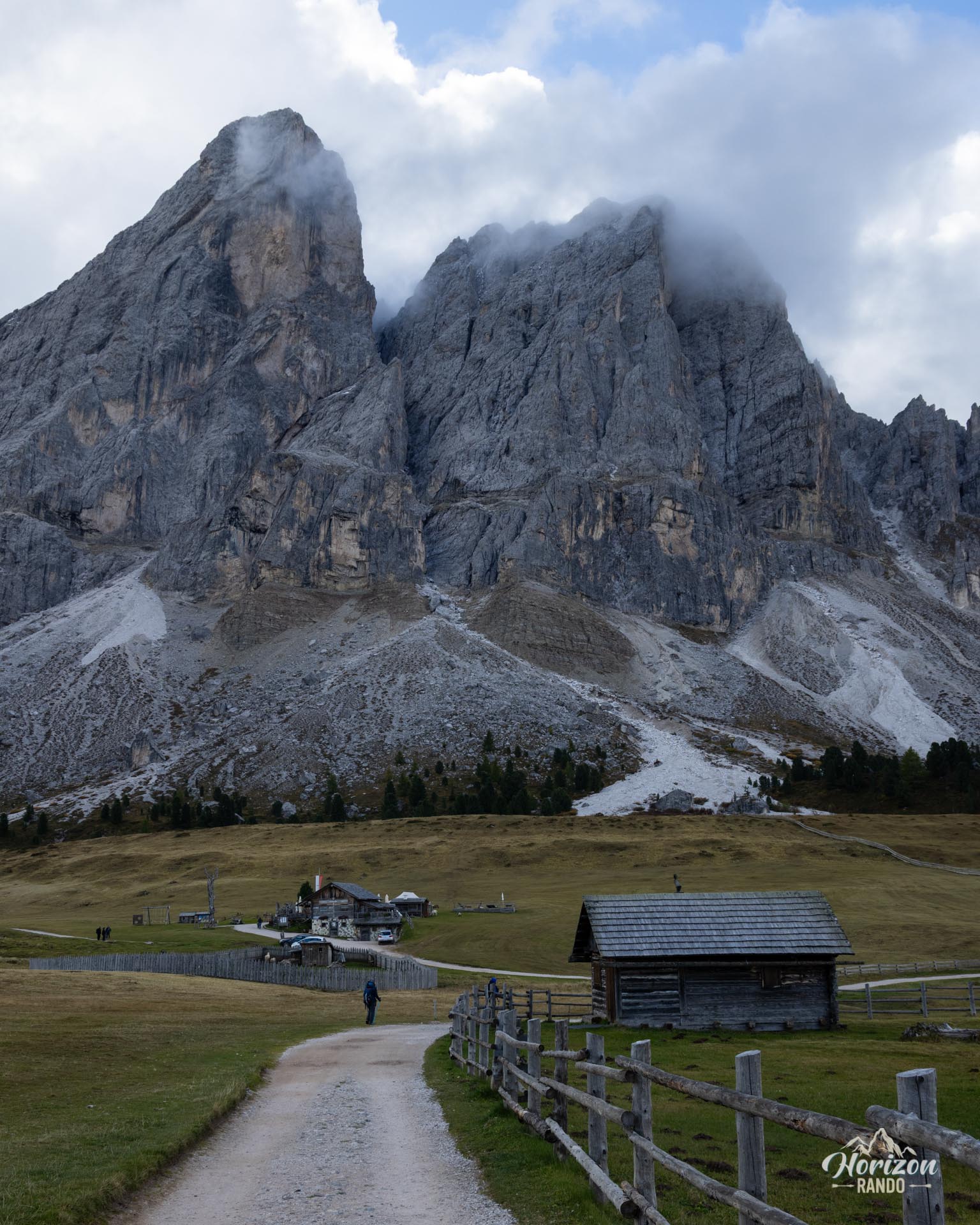
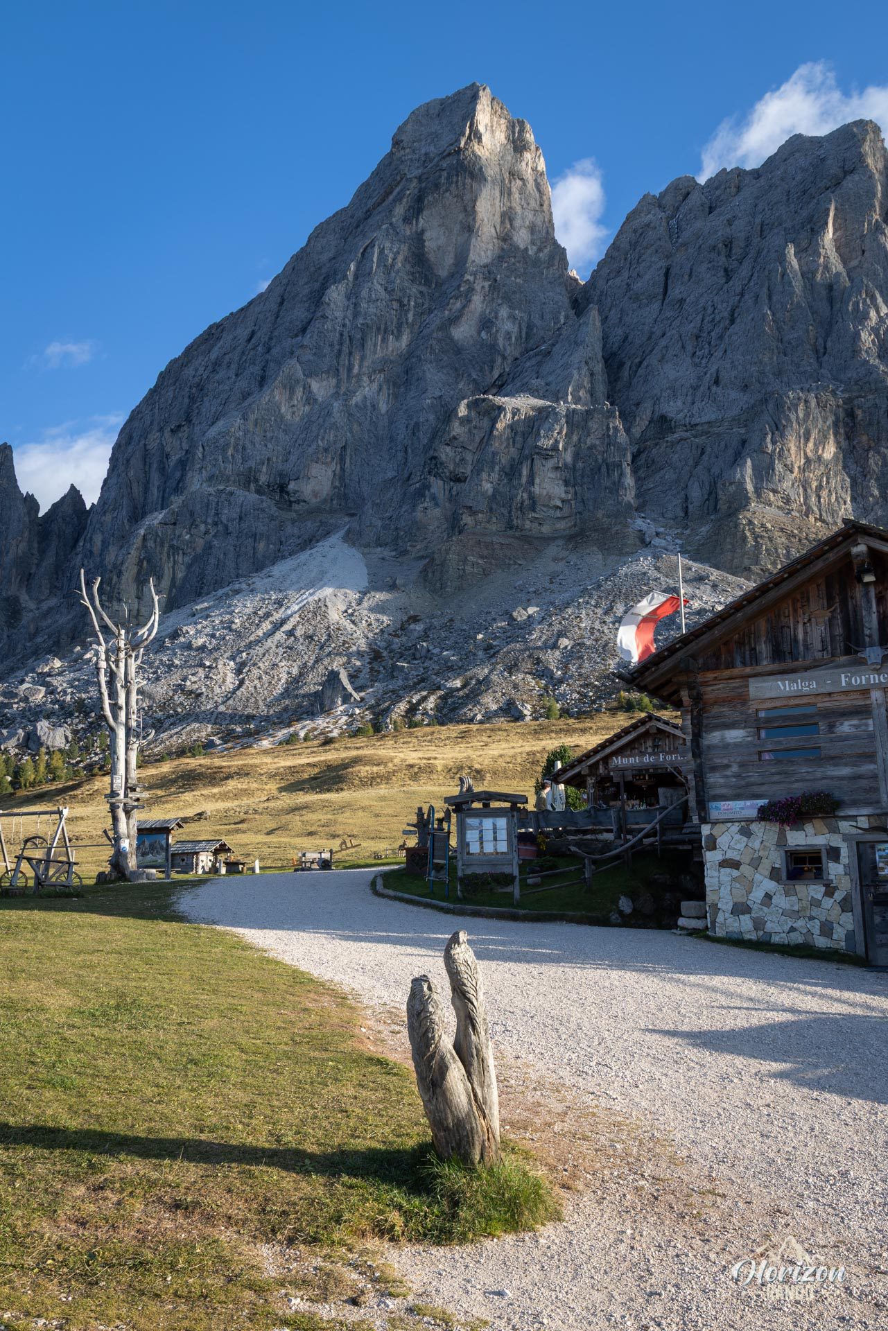
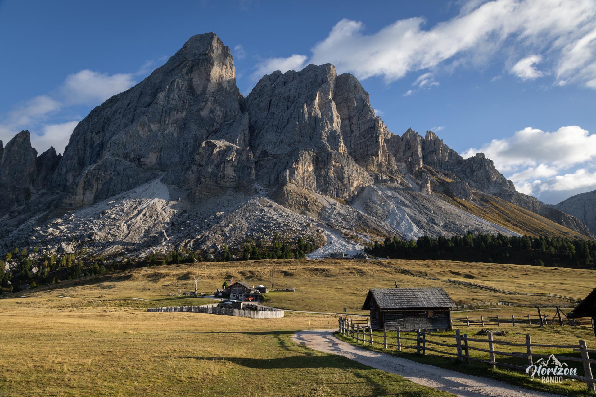
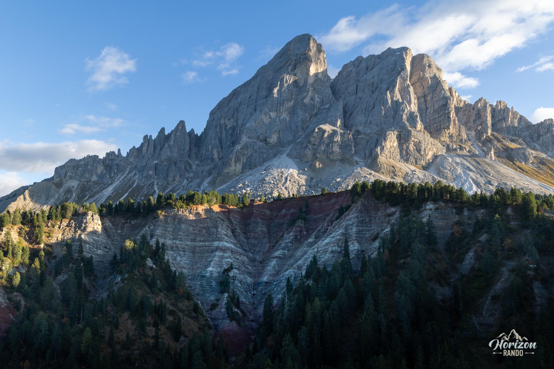
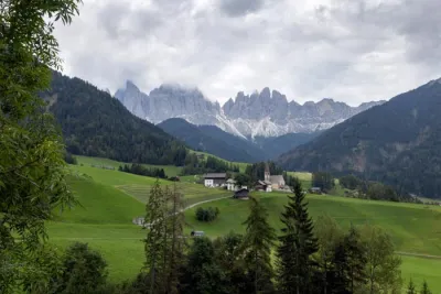
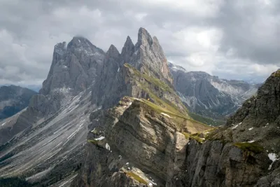
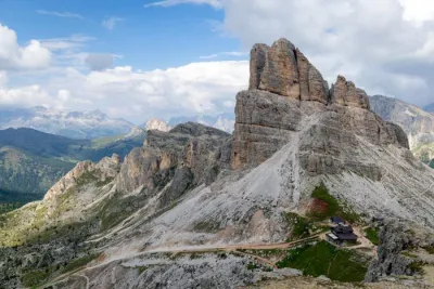
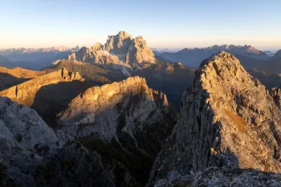
This loop hike is located in the heart of the Puez-Odle Nature Park and circles the entire Sass de Putia (Peitlerkofel, 2,875 m), an iconic, isolated peak in the northern Dolomites. The trail crosses a high-altitude pass and traverses vast alpine meadows dotted with wooden huts. Hikers enjoy ever-changing views of the neighboring Odle di Eores, Puez, and Fanes mountain ranges. This accessible high-altitude hike sees heavy foot traffic during the high season, but it fully lives up to its reputation.
Map and elevation profile of the hike
Sass de Putia Loop Hike
Description and difficulties of the hike
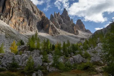
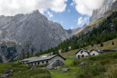
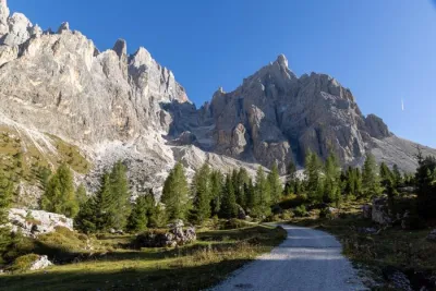
From the Passo delle Erbe parking lot (1,987 m), take the wide track heading north (Trail 8A). The trail crosses a pine forest and opens up fifteen minutes later onto vast alpine meadows dotted with wooden huts at the foot of the north face of Sass de Putia. This is where the loop splits. Turn right toward Forcella de Pütia to complete the loop counterclockwise. This allows you to tackle the main climb with fresh legs.
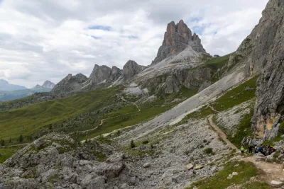
The trail skirts the north face of Sass de Putia as a contour path facing the Odle di Eores massif before ascending steeply through a wide scree gully (Trail No. 4). This is the main challenge of the day: a 260 m climb to Forcella de Pütia (2,373 m), the highest point of the loop. At the pass, continue straight onto Trail 4B, which circles the mountain along the southern slope.
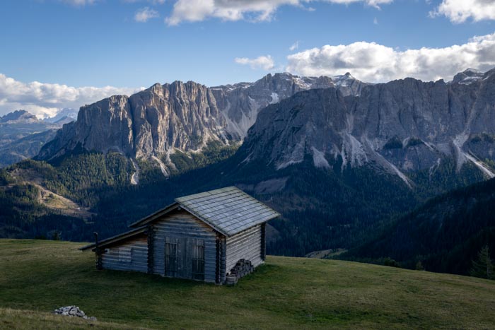
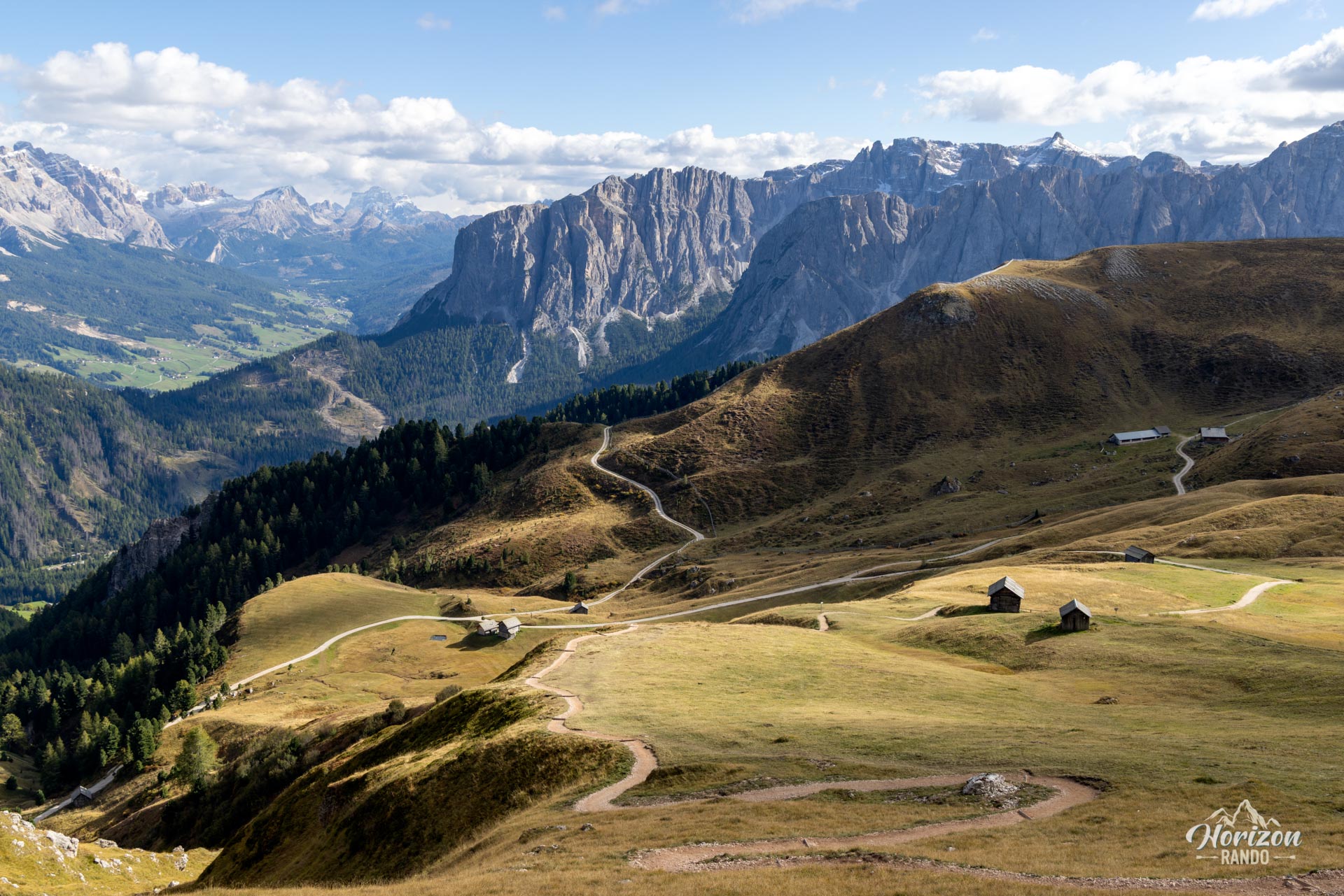
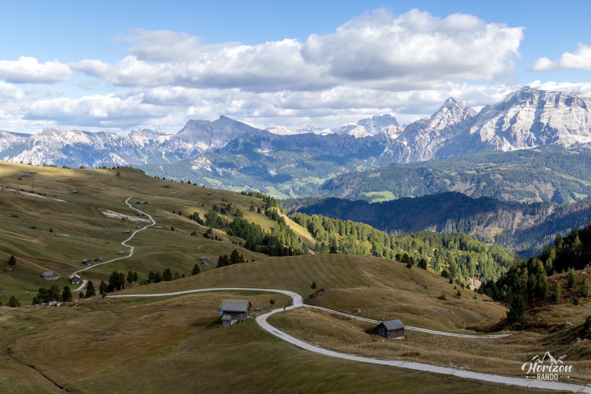
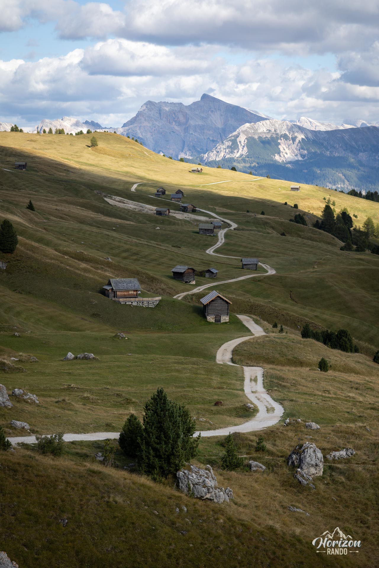
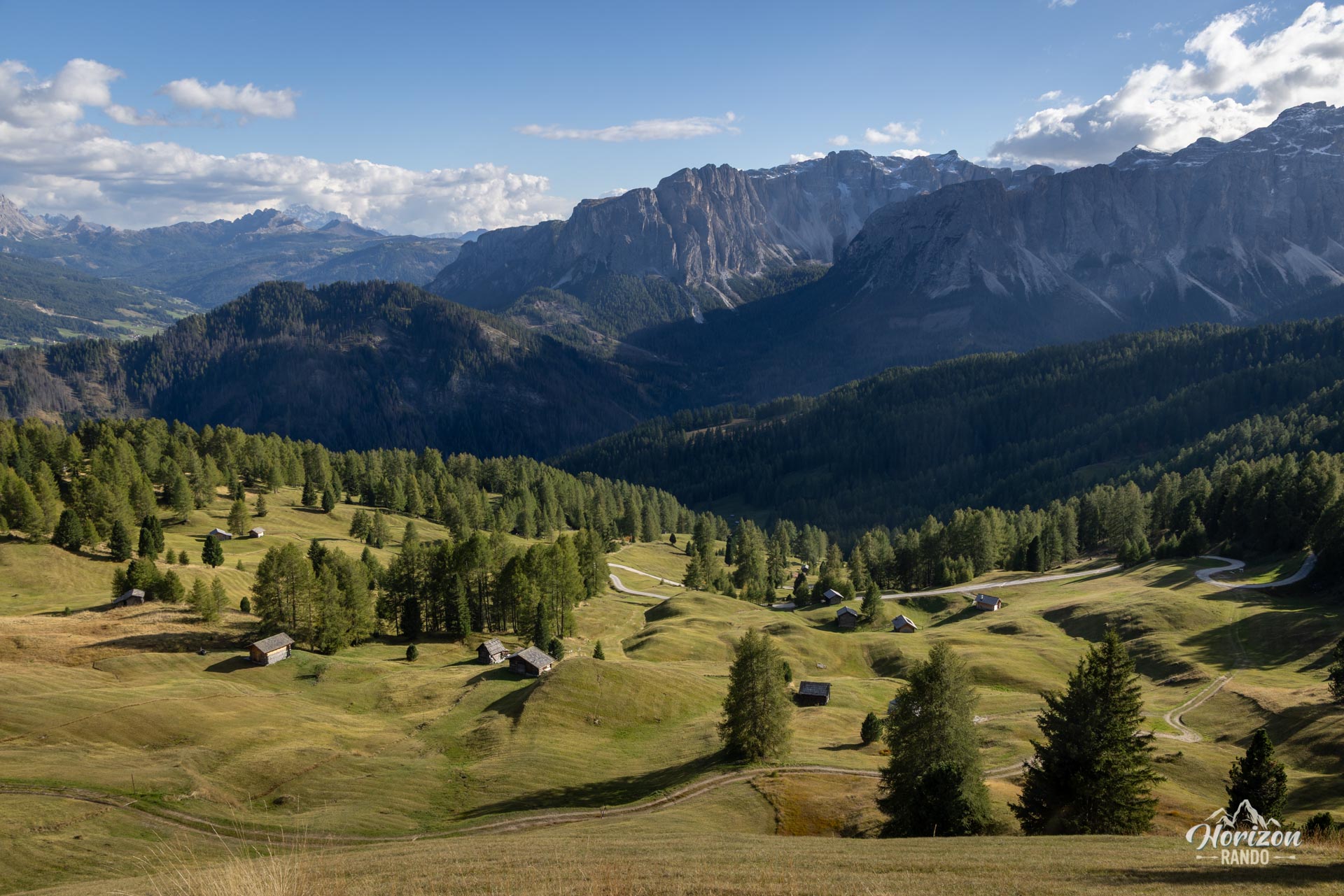
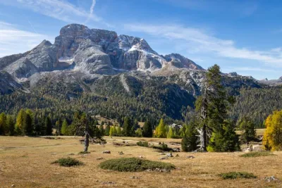
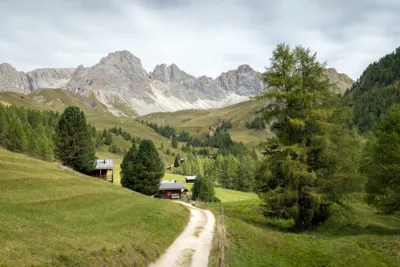
The descent is gentle and winds through meadows and alpine pastures dotted with small log cabins. The peaks of the Puez and Fanes ranges serve as a backdrop as you descend to Passo Goma (2,109 m). From there, Trail 8B descends through the forest to Ütia de Göma, then climbs back up via Munt de Fornella and rejoins Trail 8A to loop back to Passo delle Erbe.
What you'll love
- The complete loop around an isolated peak offering sweeping views of the Odle di Eores, Puez, and Fanes massifs.
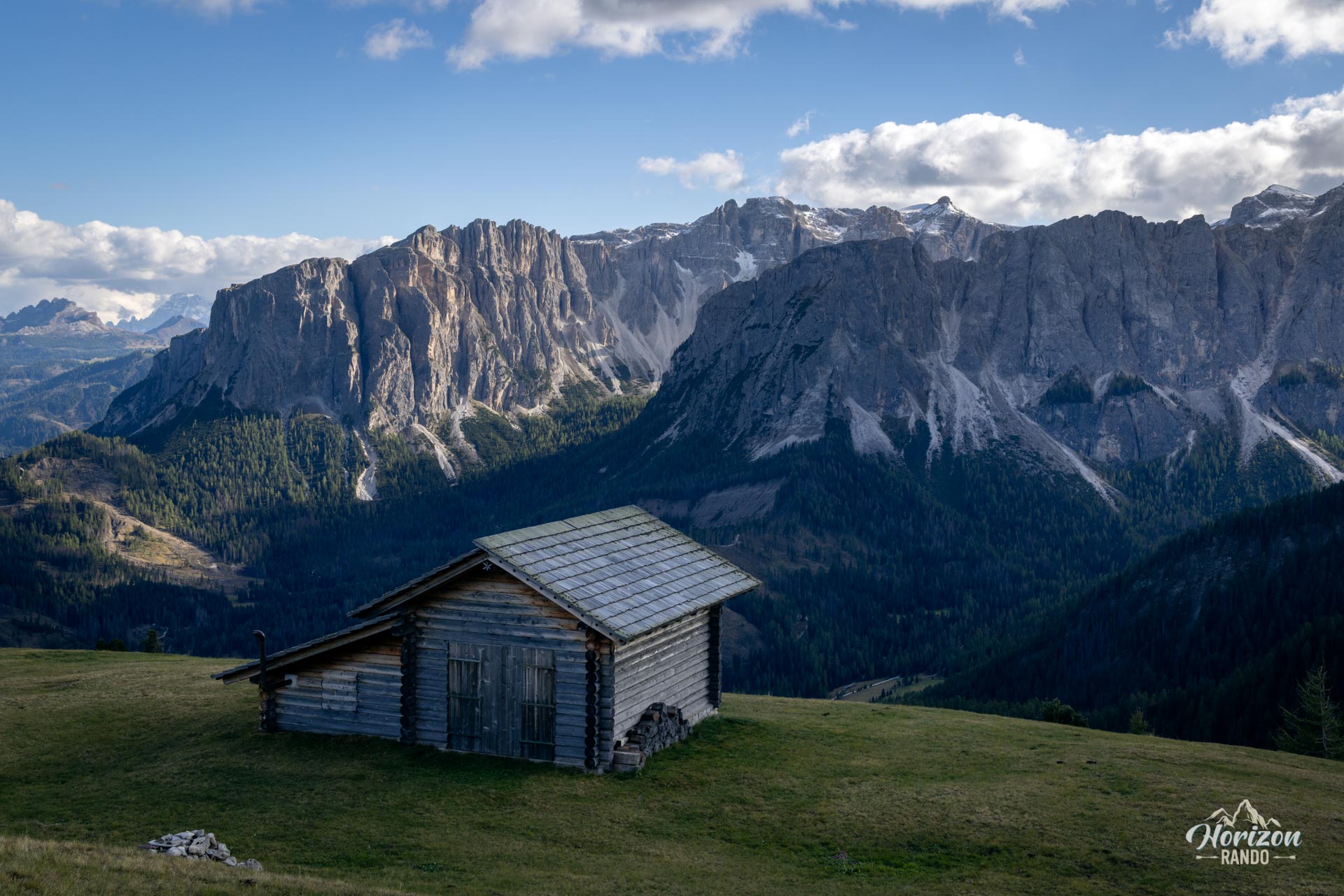
- The alpine pastures to the south and east of the massif that are dotted with wooden huts and offer unobstructed views of the main peaks of the northern Dolomites.
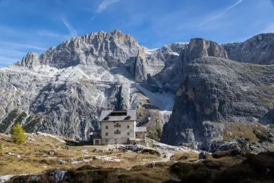
- The three mountain huts (Munt de Fornella, Ütia Vaciara, and Ütia de Göma) along the loop, which are perfect for a gourmet break.
Practical information
Parking
There is a large parking lot at Passo delle Erbe, across from the Ütia di Börz. Indicative price in 2025: €8 for a car and €18 for a camper. Valid between 7 a.m. and 2 p.m. After 2 p.m., parking is free. During peak season (July–August), arrive early, as it fills up quickly.
Best time to go
From mid-June to mid-October. This period coincides with the opening of the mountain huts, which depends on snow conditions.
Extensions to the summit
There are two route variations to reach the summit of the massif. See the guide for the Sass de Putia Hike and Via Ferrata (2,875 m, via ferrata to the summit) or the guide for the Piccolo Sass de Putia Hike (2,813 m, hiking only).
Photos
See all 11 photos →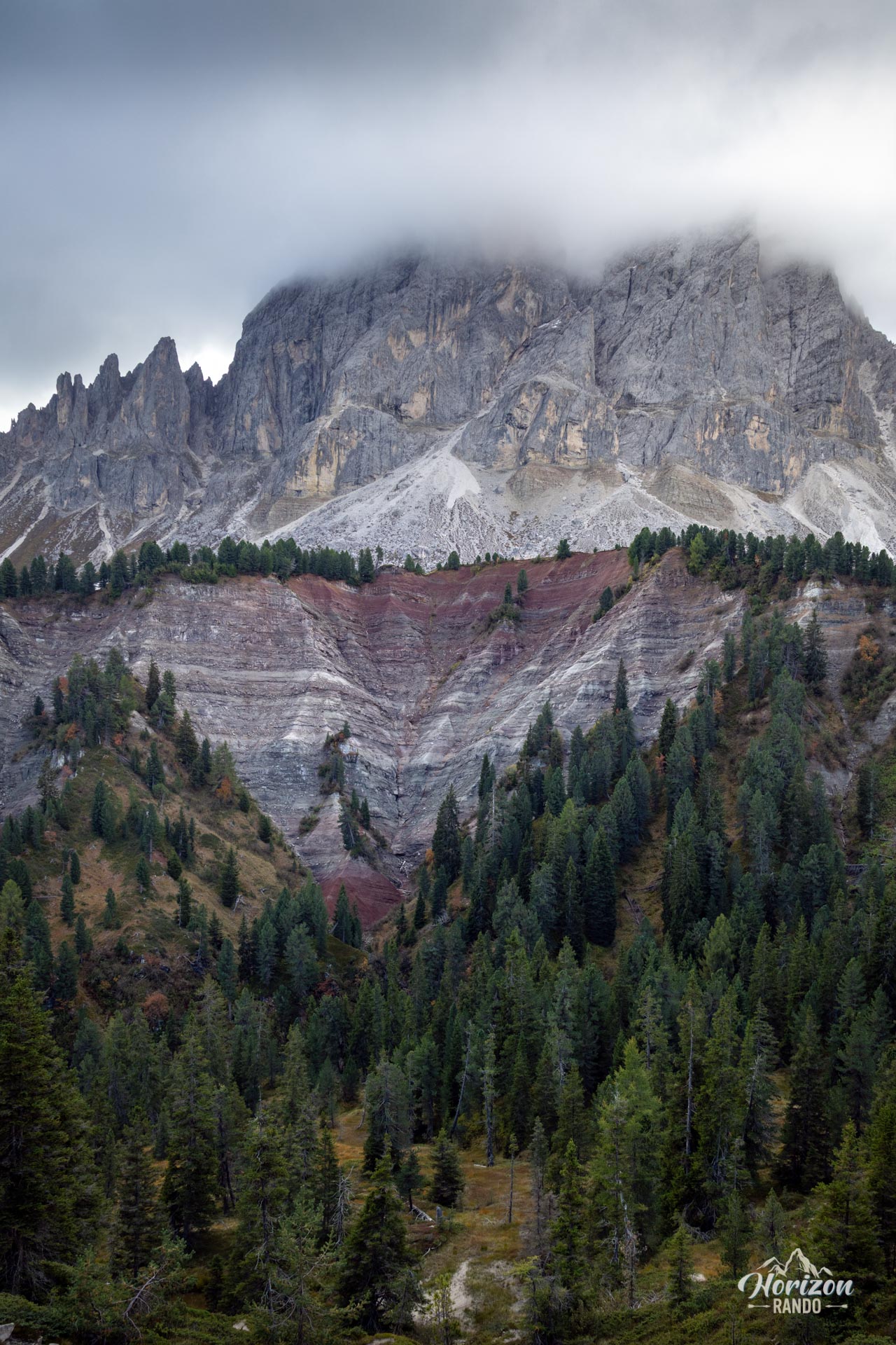
More hikes to do in the Dolomites
Nearby hikes



Printed from www.horizonrando.fr/en/hiking-dolomites/sass-de-putia-loop-hike/