





Padon Ridge and Viel del Pan Loop Hike
Key facts about the hike
- Difficulty
- Easy Hikes are rated from very easy to very hard: my difficulty scale
- Duration
- 2h45 Estimated time, short breaks included (photos, water, snacks), picnic not included: how it is calculated
- Distance
- 7.4km
- Elevation gain
- 420m
- Type of route
- Loop
- Maximum altitude
- 2,563 m
- Vertiginous Five levels, depending on how exposed the route is: the levels in detail
- Slightly
- Marked
- Yes
- Popularity
- Moderate
- Start point
- 46.48809, 11.81097
- Activity
- Hiking
Hike overview
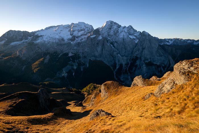
This loop hike, which starts at Passo Pordoi, features two contrasting landscapes. First, you will hike along the rugged, panoramic Padon ridges. Then, you will return via the busier Viel del Pan “balcony trail.”
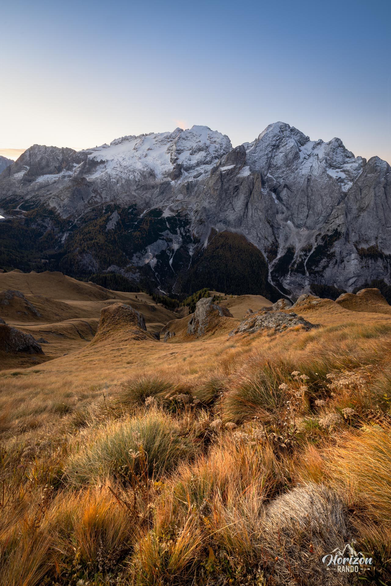
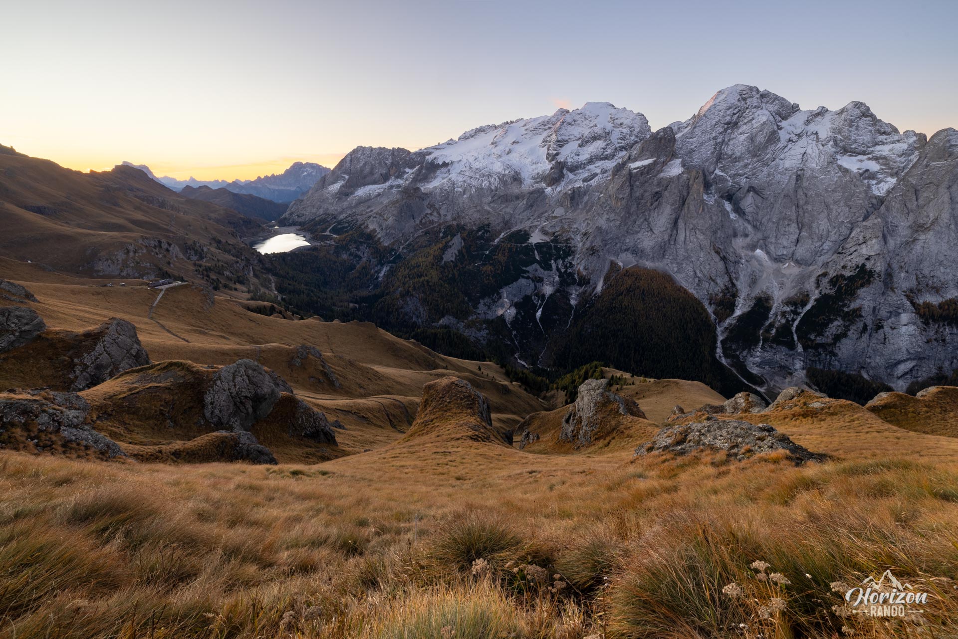
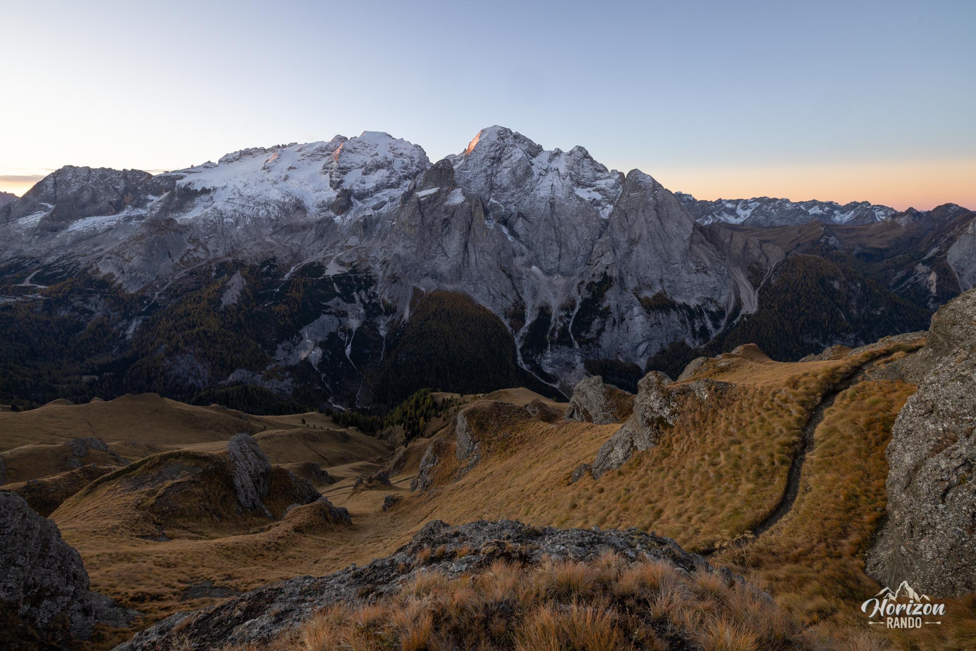
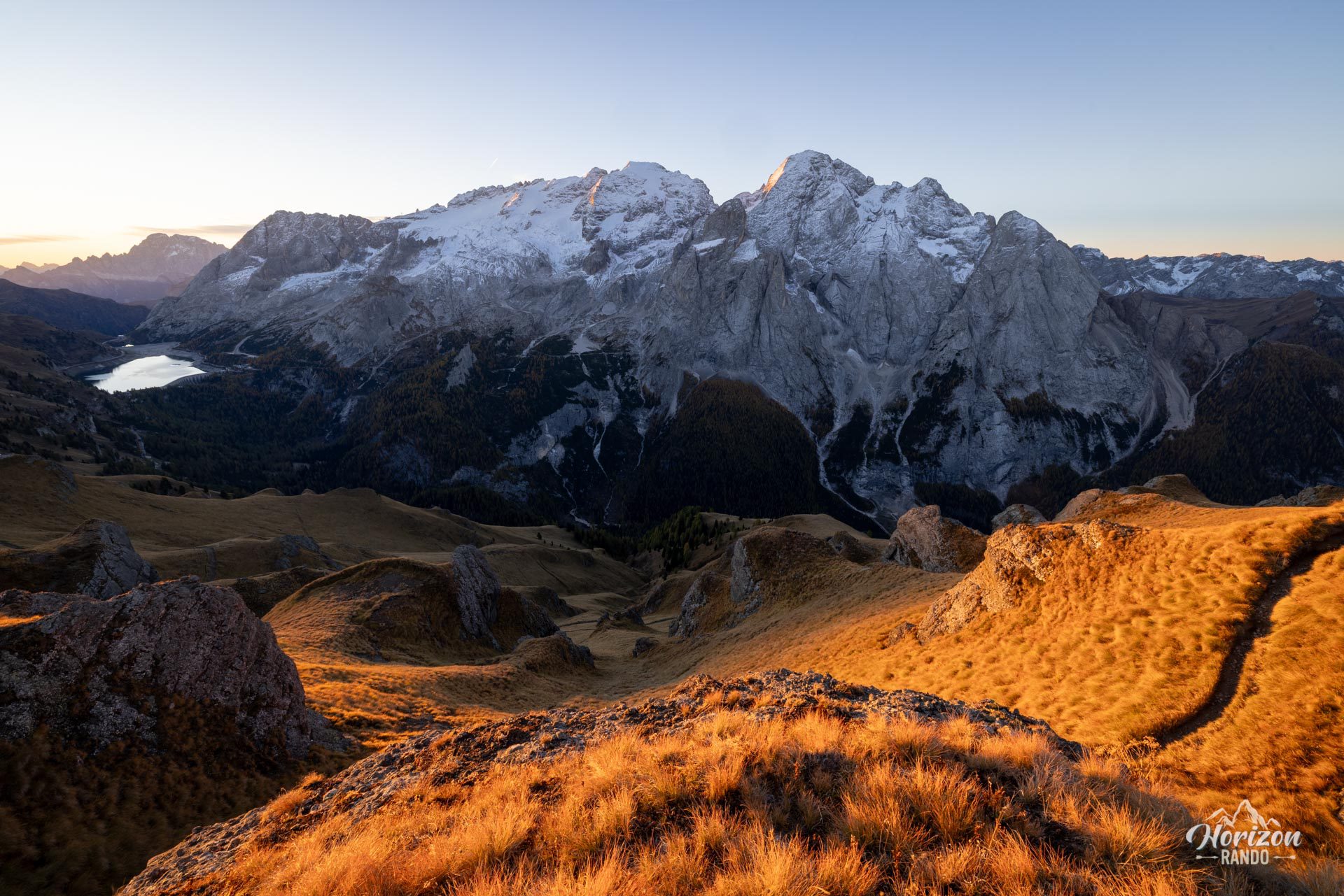
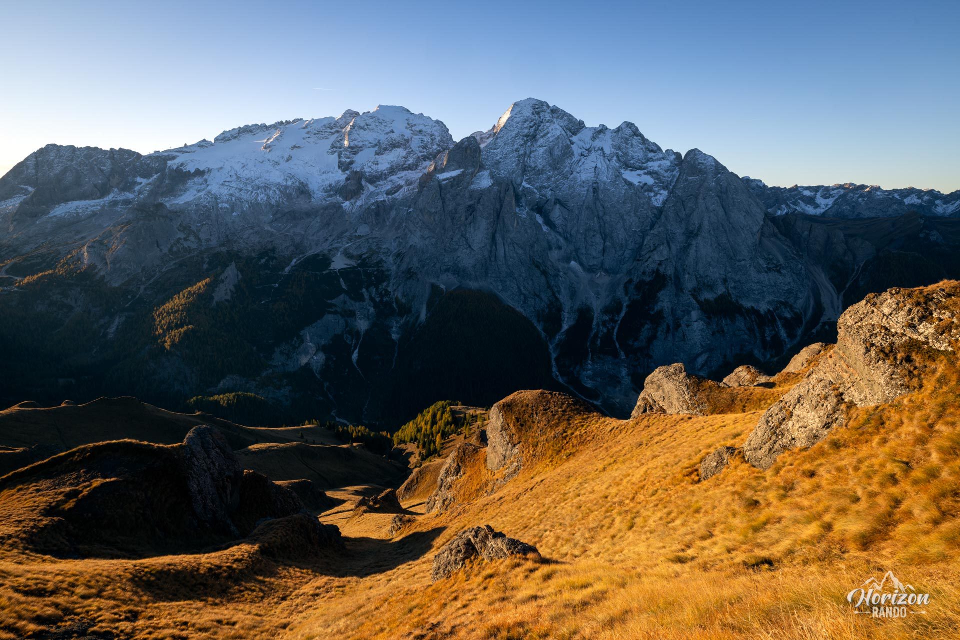
The hike begins at the impressive Col del Cuc viewpoint before joining the historic Viel del Pan trail, also known as the "bread trail" in Ladin, a Romance language spoken in the Dolomites. This was once the route taken by flour merchants traveling between the Belluno region and the Val di Fassa. Restored in the early 20th century by the German mountaineer Karl Bindel (hence its other name, Bindelweg), this trail is now one of the most beautiful scenic routes in the Dolomites. It faces the Marmolada massif and its glacier.
Map and elevation profile of the hike
Padon Ridge and Viel del Pan Loop Hike
Description and difficulties of the hike
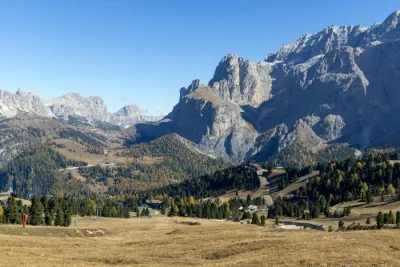
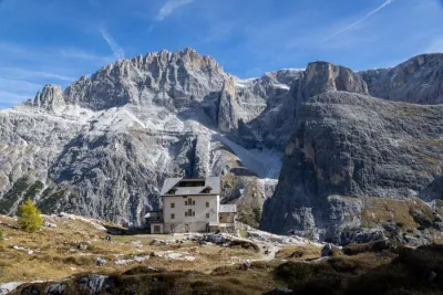
From Passo Pordoi (2,239 m), follow trail 601, which starts near the small chapel just above the road. The ascent begins on a wide trail skirting the Sas Becé. Pass the Rifugio Sass Becé, then the Rifugio Fredarola (2,370 m), where the Marmolada view suddenly opens up.
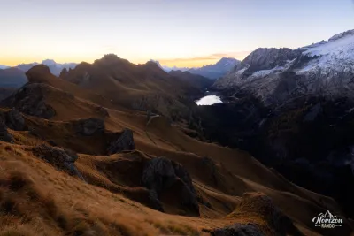
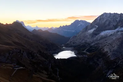
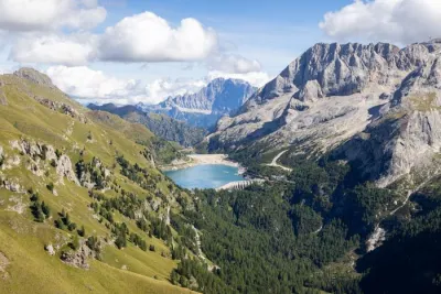
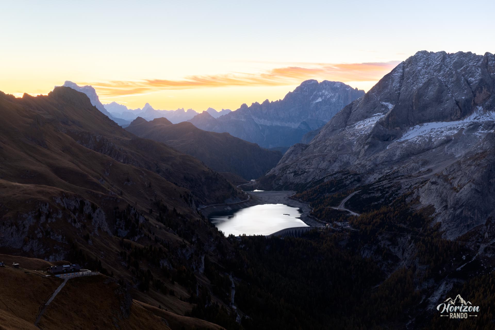
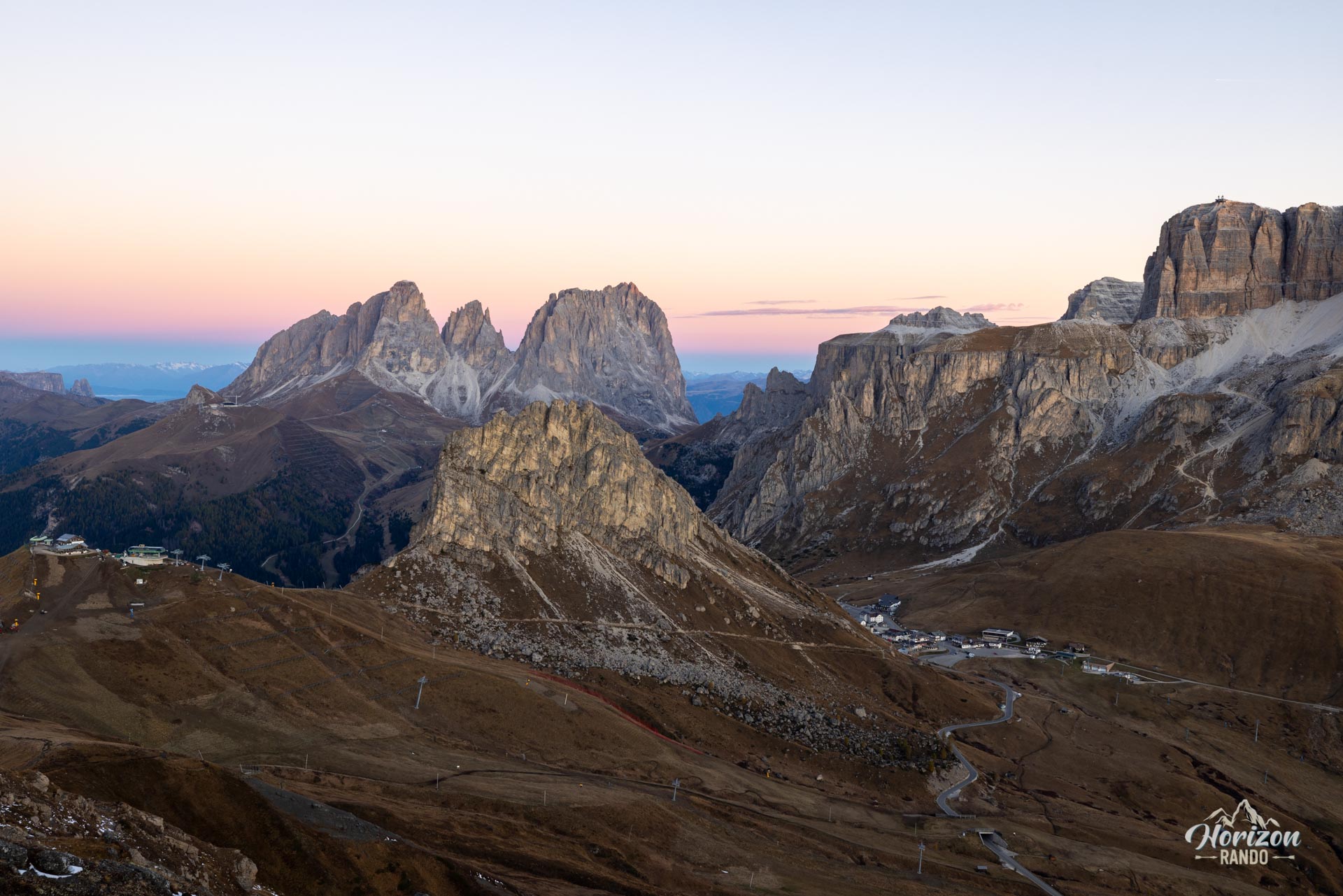
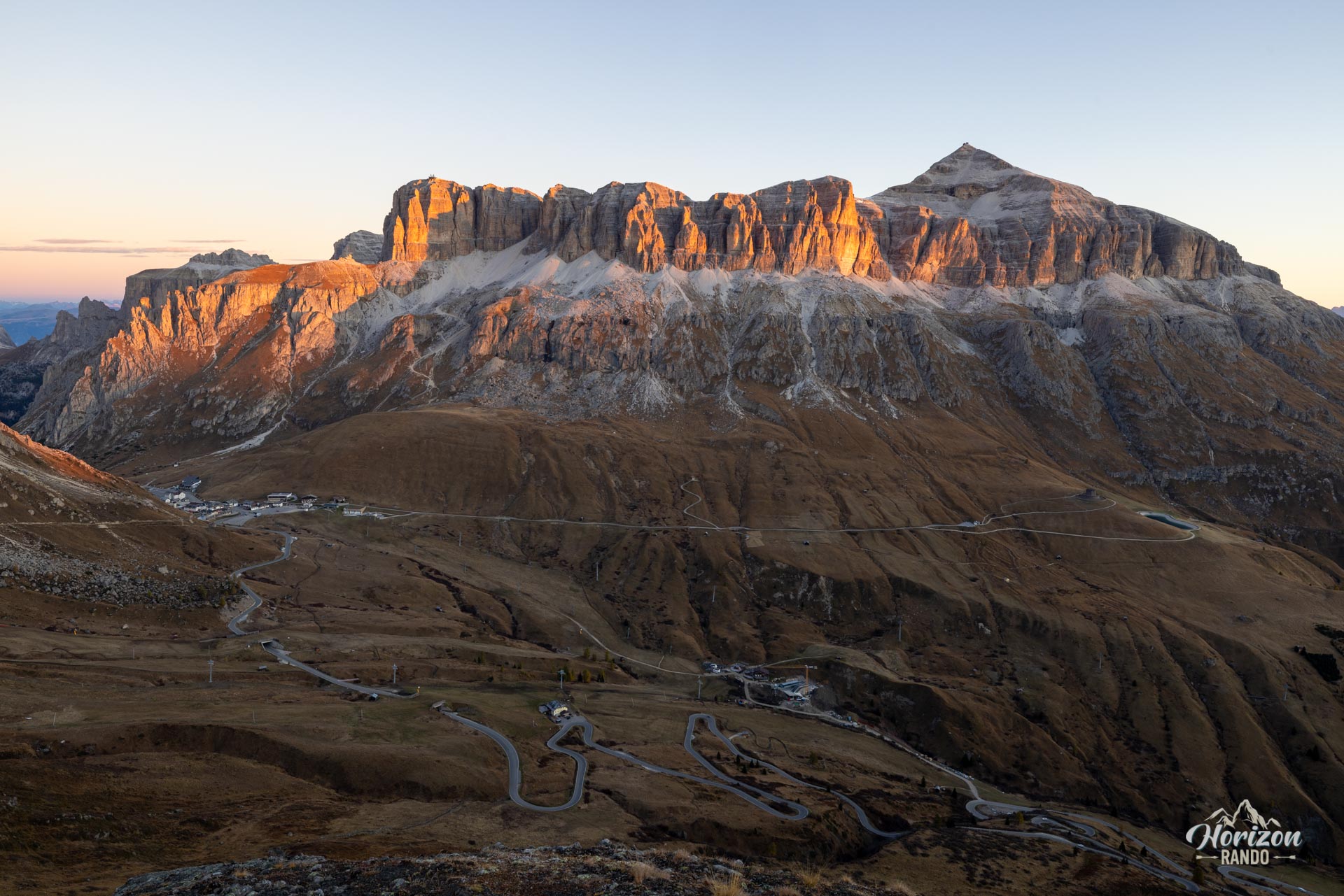
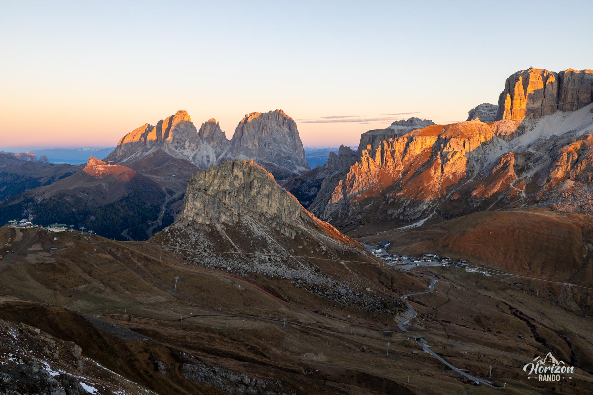
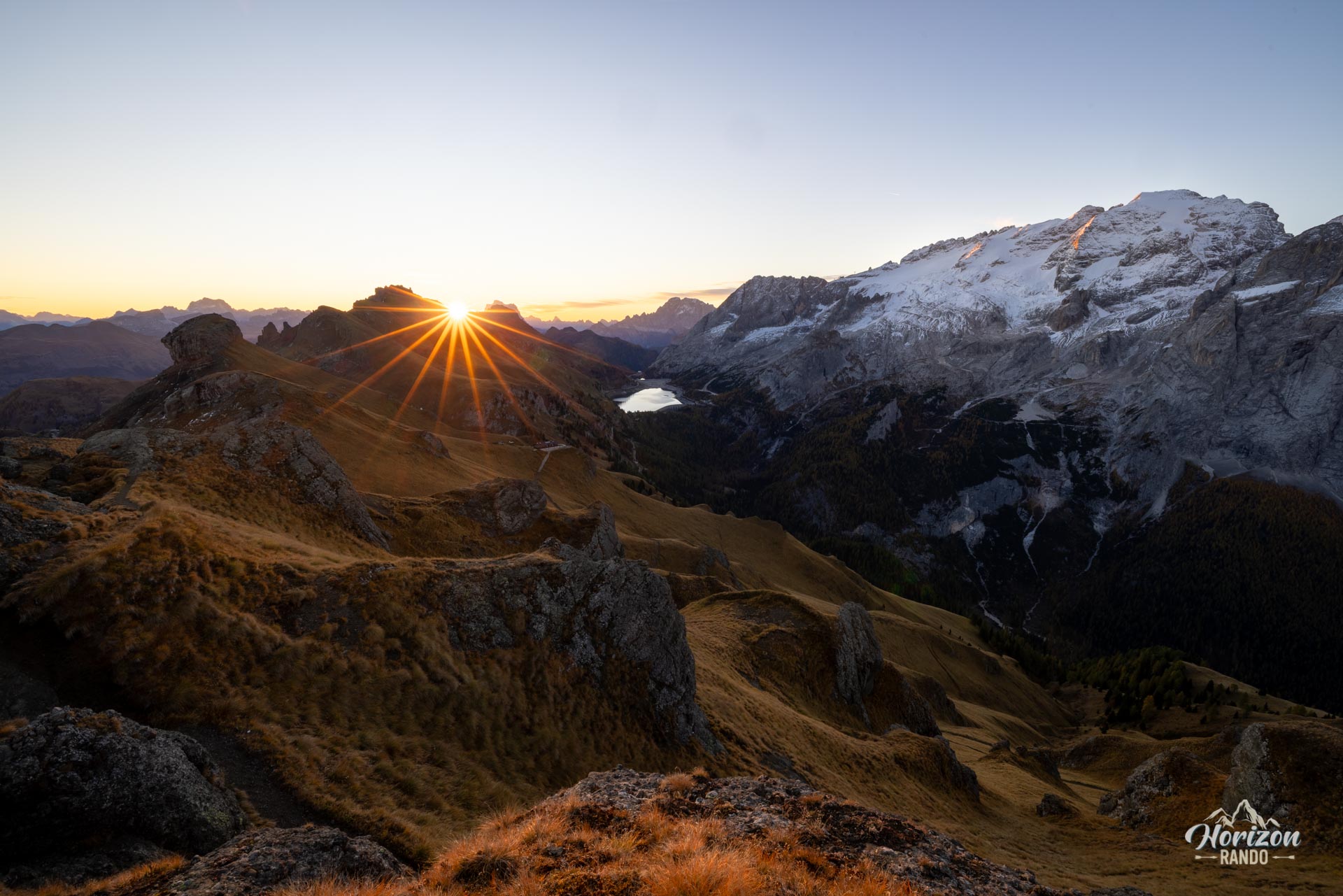
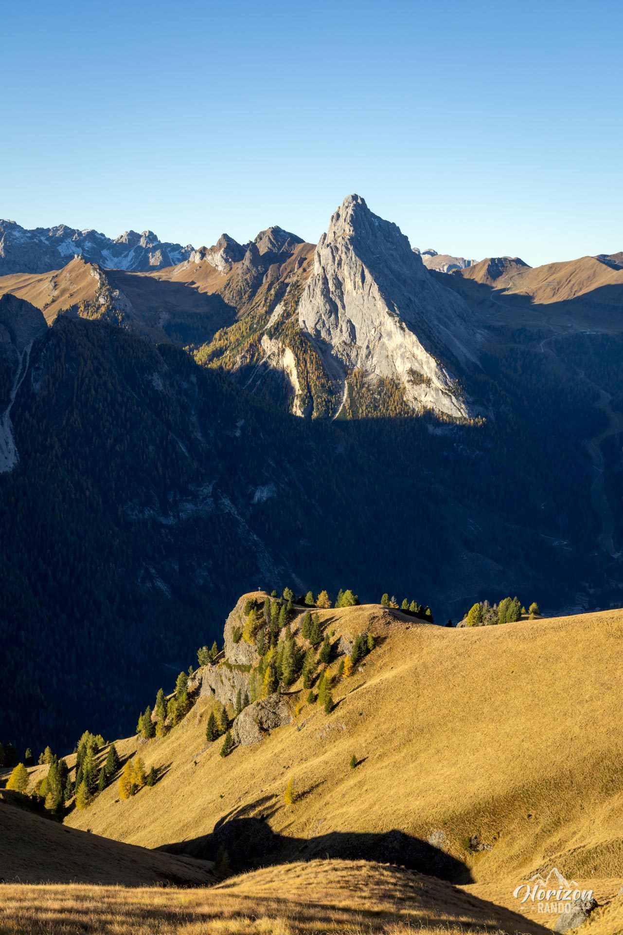
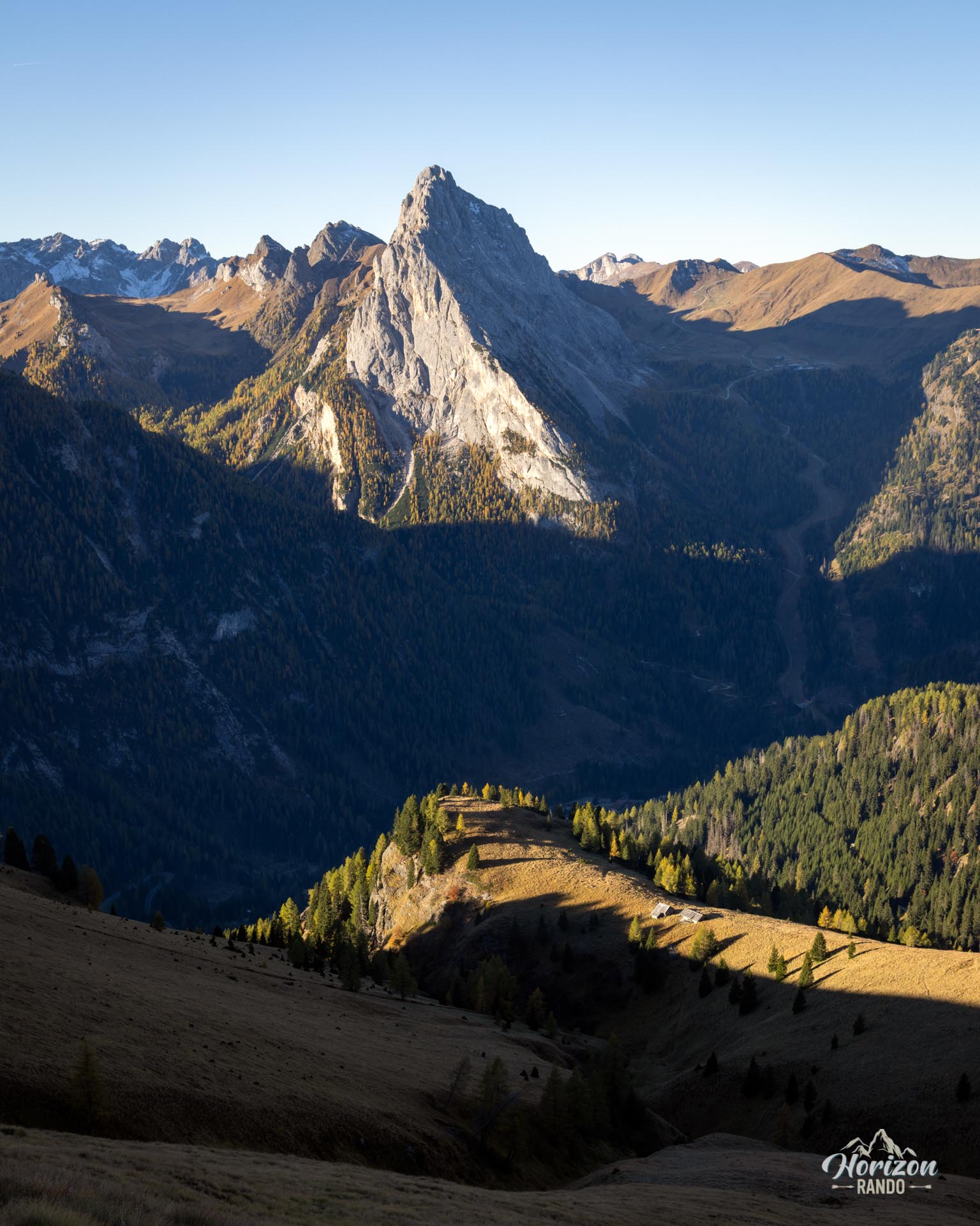
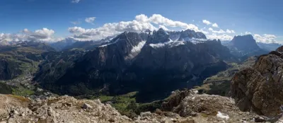
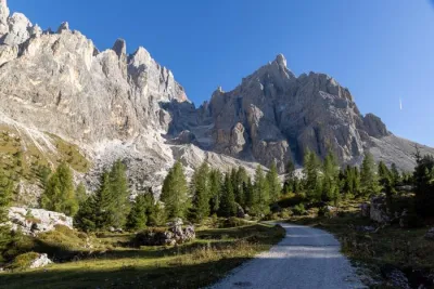
The loop begins to the left of the refuge. Look for the signpost for Trail 636, also known as the Sentiero delle Creste del Padon, which climbs steeply toward Col de Cuc (2,563 m), the highest point of the hike. This is the most demanding section, with a sustained slope and grassy terrain, though there are no technical difficulties. The ridge narrows in places, though there are no truly exposed or airy sections. The panorama is exceptional, with views of the Sella massif and Sassolungo to the west, the Marmolada and Lago di Fedaia to the south, and the Tofane and Civetta in the distance.
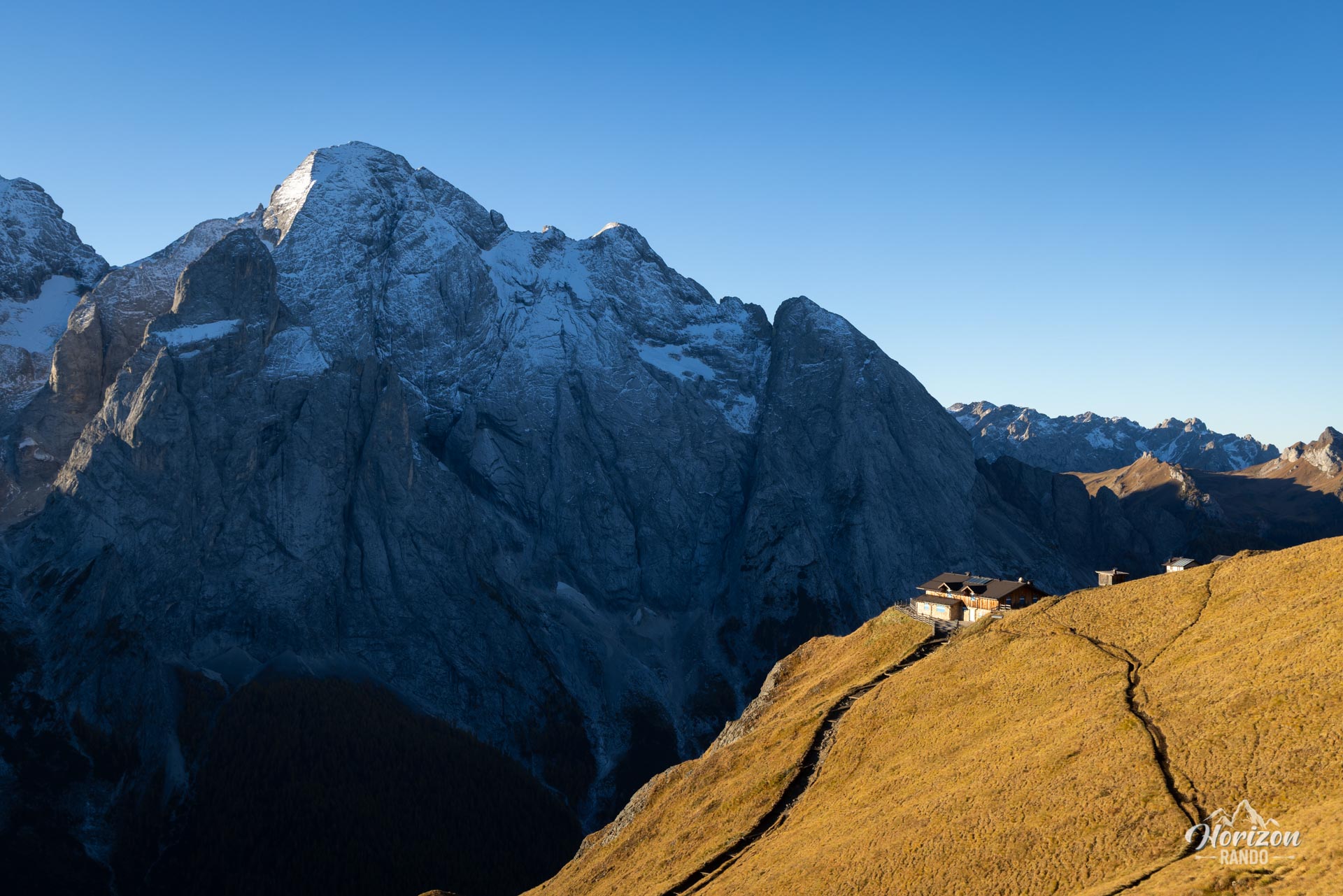
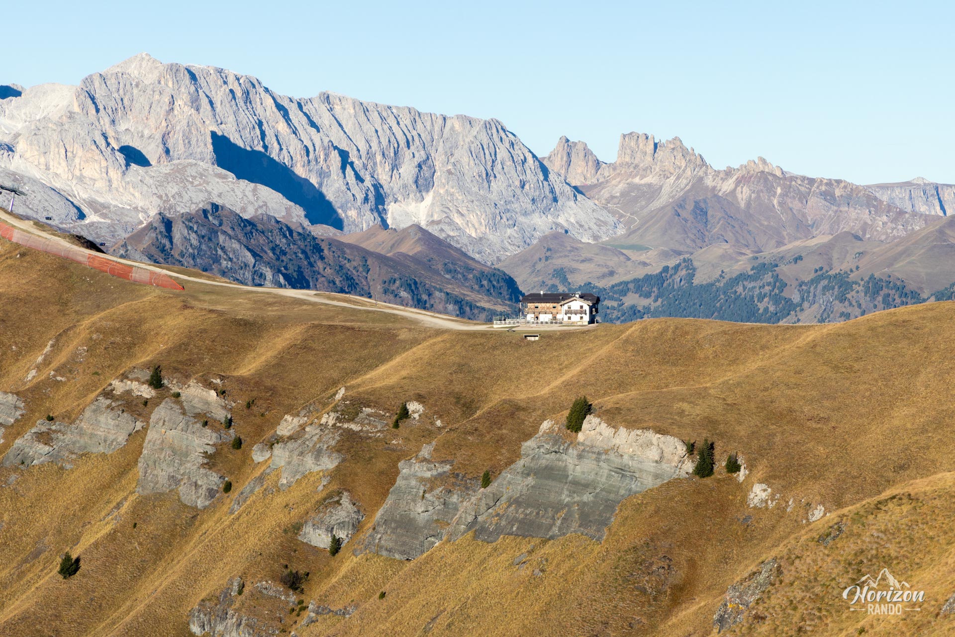
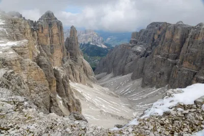
The trail then follows the ridgeline over terrain that mixes steep meadows and dark rocks, a geological feature of the Padon range. Unlike the neighboring massifs, the Padon range is not formed of dolomite, but of black volcanic rock. The descent reaches Trail 601 (Viel del Pan) in a few minutes at Rifugio Viel dal Pan (2,432 m), an ideal spot for a break before heading back. From there, Trail 601 leads gently back to Passo Pordoi via a wide, nearly flat contour mule track facing the Marmolada. Allow about one hour for this final rolling section, which passes by Rifugio Fredarola again.
What you'll love
- The 360° panorama from Col de Cuc of the Sella, Sassolungo, Marmolada, Lago di Fedaia, and Tofane and Civetta peaks.
- The contrast between the solitude of the Padon ridges on the way out and the livelier Viel del Pan balcony on the way back.
- The unique geology of Padon, where dark volcanic rocks contrast with the surrounding limestone cliffs.
Practical information
Parking
There is a large paid parking lot at Passo Pordoi (indicative rate in 2025: €2/hour, capped at €10). Free parking spaces are also available along the road near the pass but fill up quickly during peak season.
Please note
Beyond Col de Cuc, Trail 636 continues along the ridge toward Sass Ciapel and beyond but becomes significantly more technical.
Photos
See all 15 photos →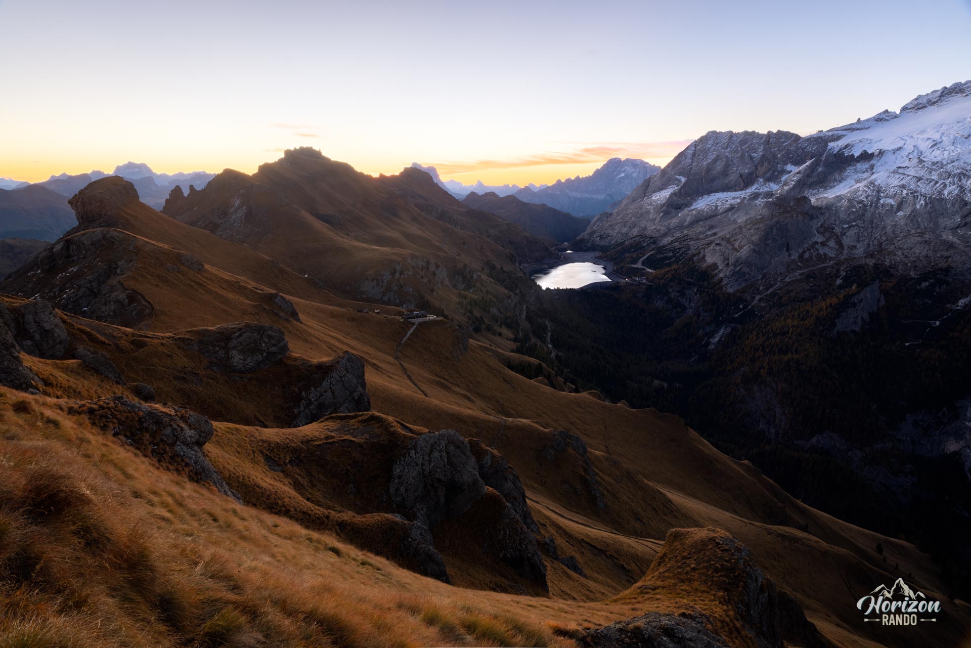
More hikes to do in the Dolomites
Nearby hikes











Printed from www.horizonrando.fr/en/hiking-dolomites/padon-ridge-and-viel-del-pan-loop-hike/