





Monte Cavallazza and Laghi di Colbricon Hike
Key facts about the hike
- Difficulty
- Moderate Hikes are rated from very easy to very hard: my difficulty scale
- Duration
- 3h Estimated time, short breaks included (photos, water, snacks), picnic not included: how it is calculated
- Distance
- 7km
- Elevation gain
- 500m
- Type of route
- Loop
- Maximum altitude
- 2,326 m
- Vertiginous Five levels, depending on how exposed the route is: the levels in detail
- No
- Marked
- Partially
- Popularity
- Low
- Start point
- 46.29638, 11.78591
- Activity
- Hiking
Hike overview
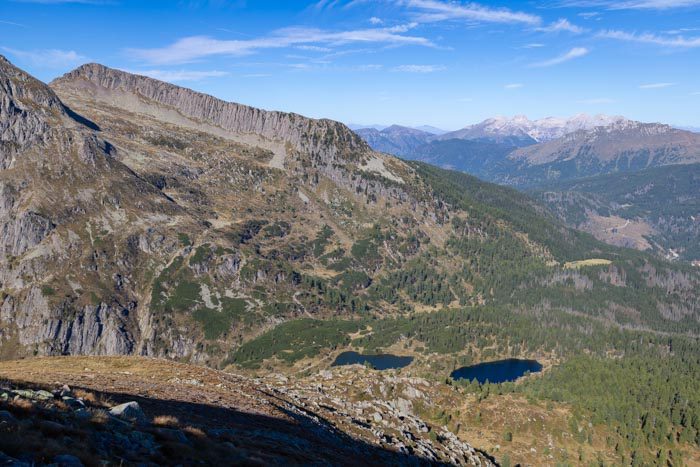
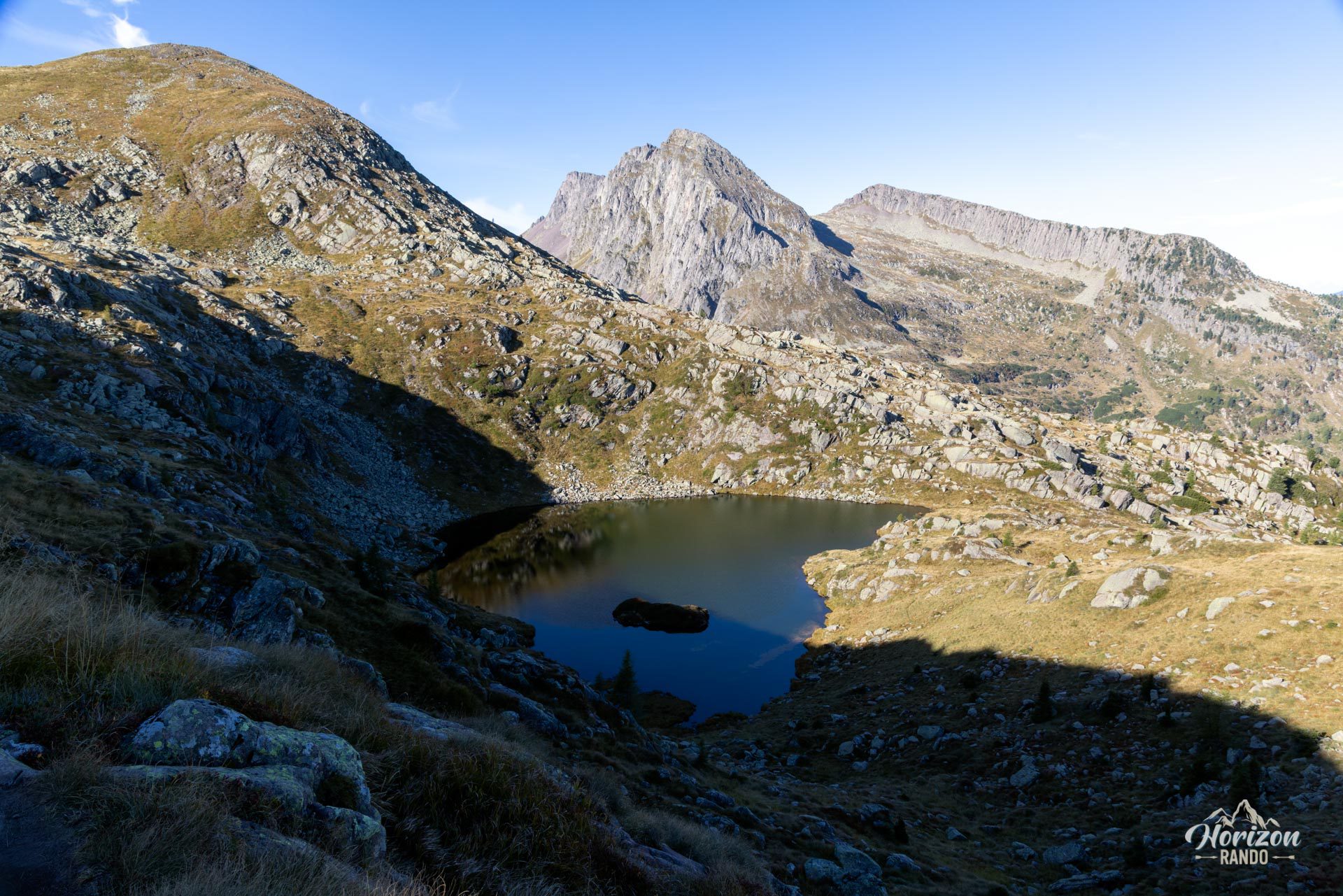
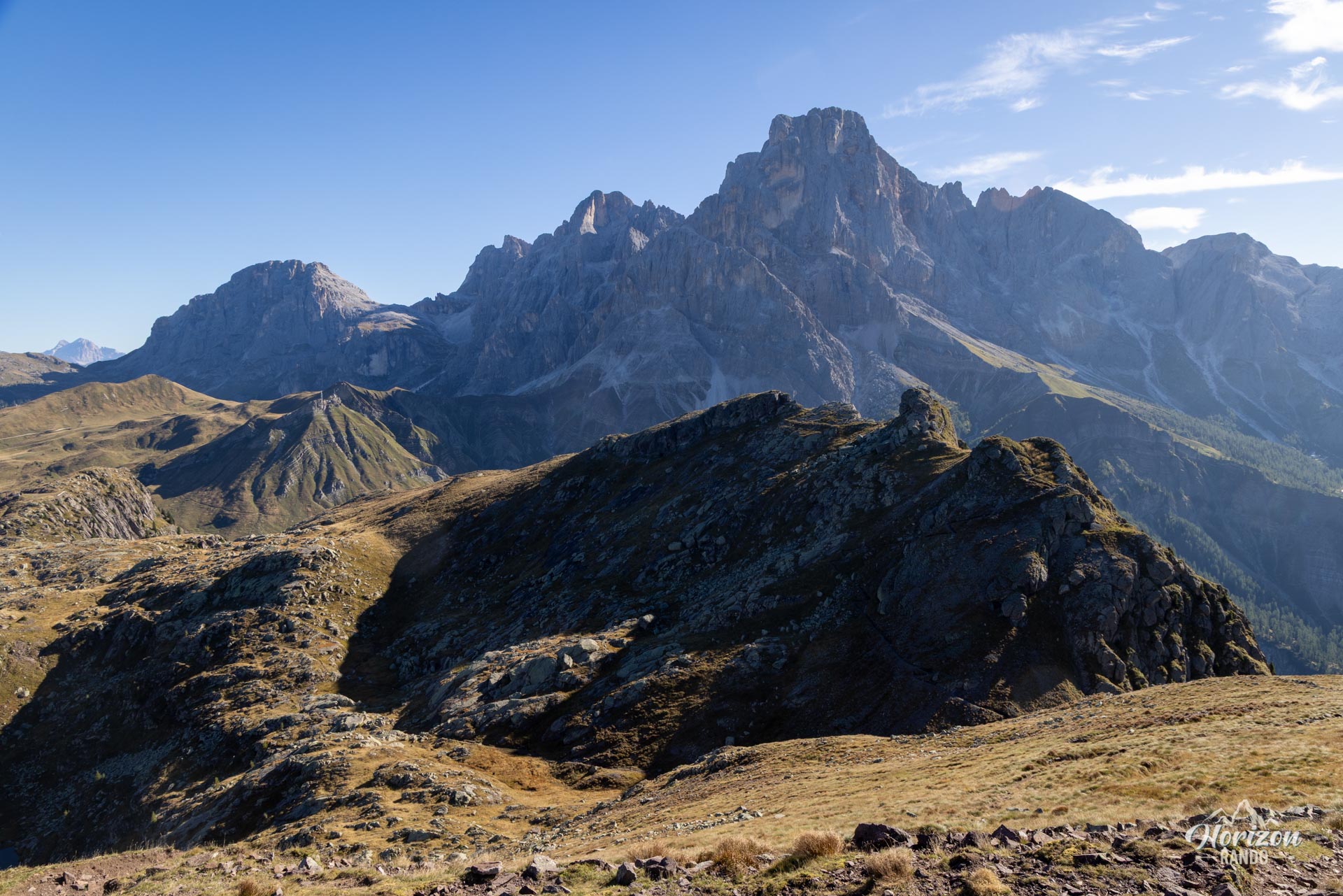
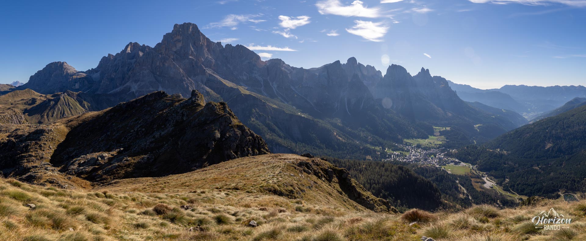
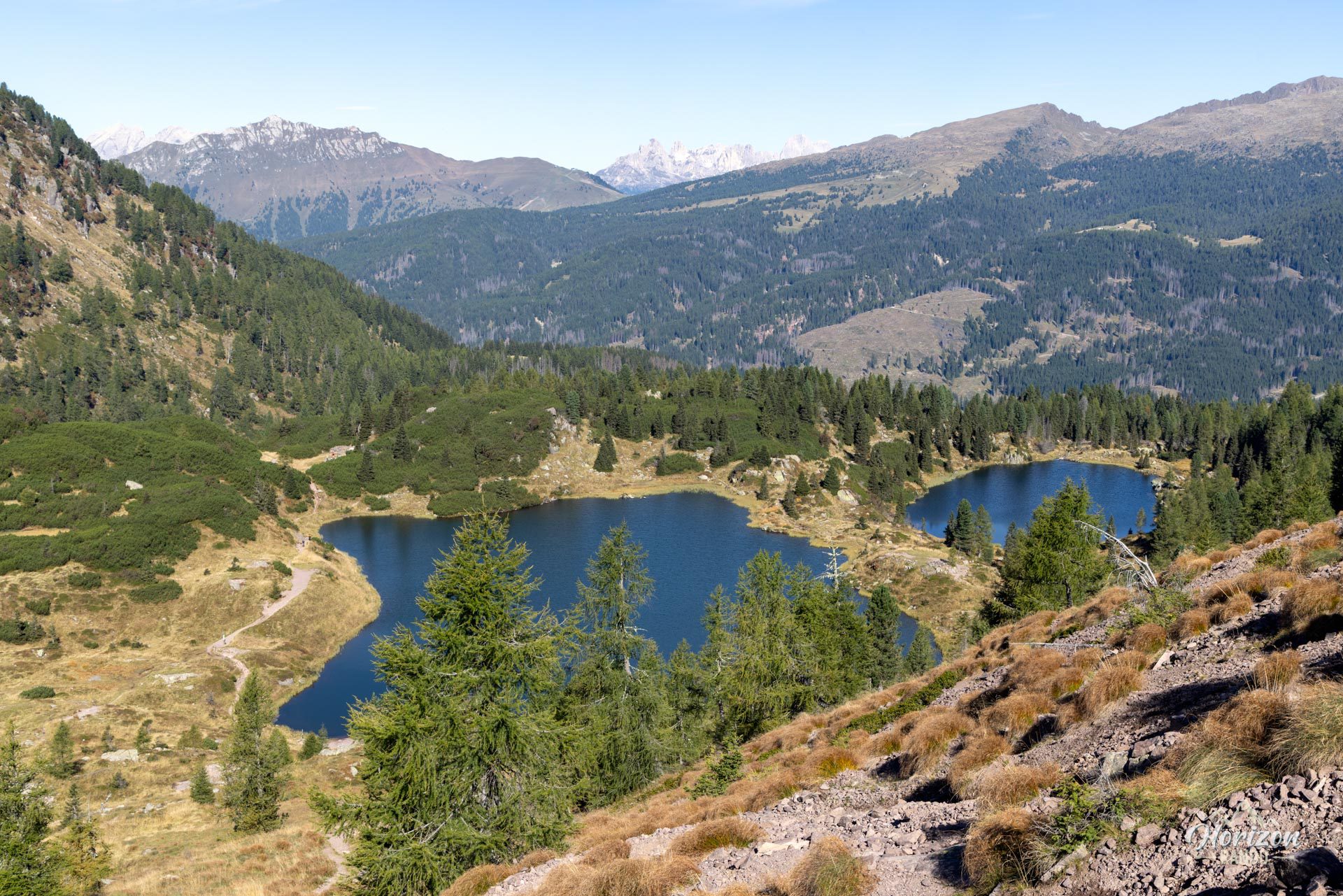
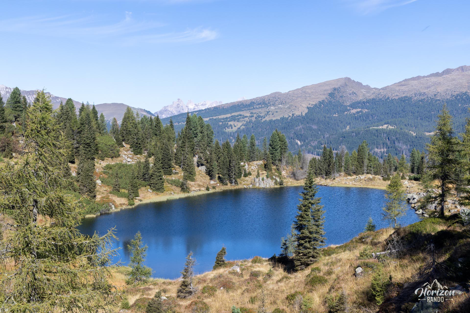
This loop hike starts at Passo Rolle and leads to the 2,326-meter summit of Monte Cavallazza, an Austro-Hungarian outpost during World War I. Then, it continues to the Laghi di Colbricon, two small glacial lakes nestled at the foot of the Colbricon mountain range. The route runs along the boundary between the Dolomites and the volcanic Lagorai range. The dark, compact rock of the Lagorai range contrasts sharply with the light-colored walls of the nearby Pale di San Martino.
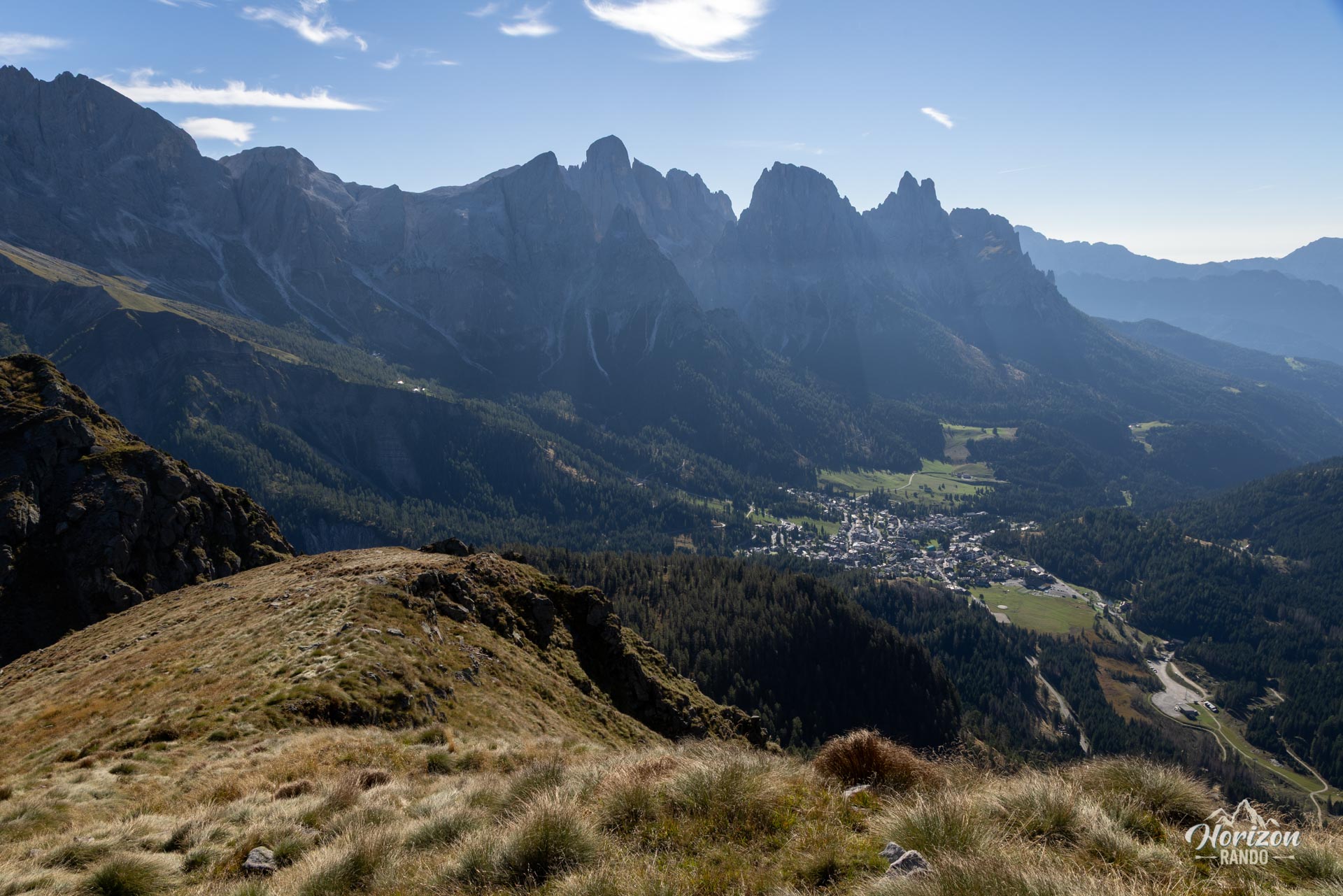
The summit offers a magnificent 360° panorama, and the route remains relatively uncrowded at higher elevations, with most visitors concentrated around the lakes.
Map and elevation profile of the hike
Monte Cavallazza and Laghi di Colbricon Hike
Description and difficulties of the hike
From the Passo Rolle parking lot, the trail climbs the ski run southward. There is sparse signage on this first section, so you must follow the slope toward the top of the Paradiso chairlift. The terrain is rough—a wide, groomed slope in winter and grassy in summer—but the ascent remains steady.
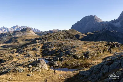
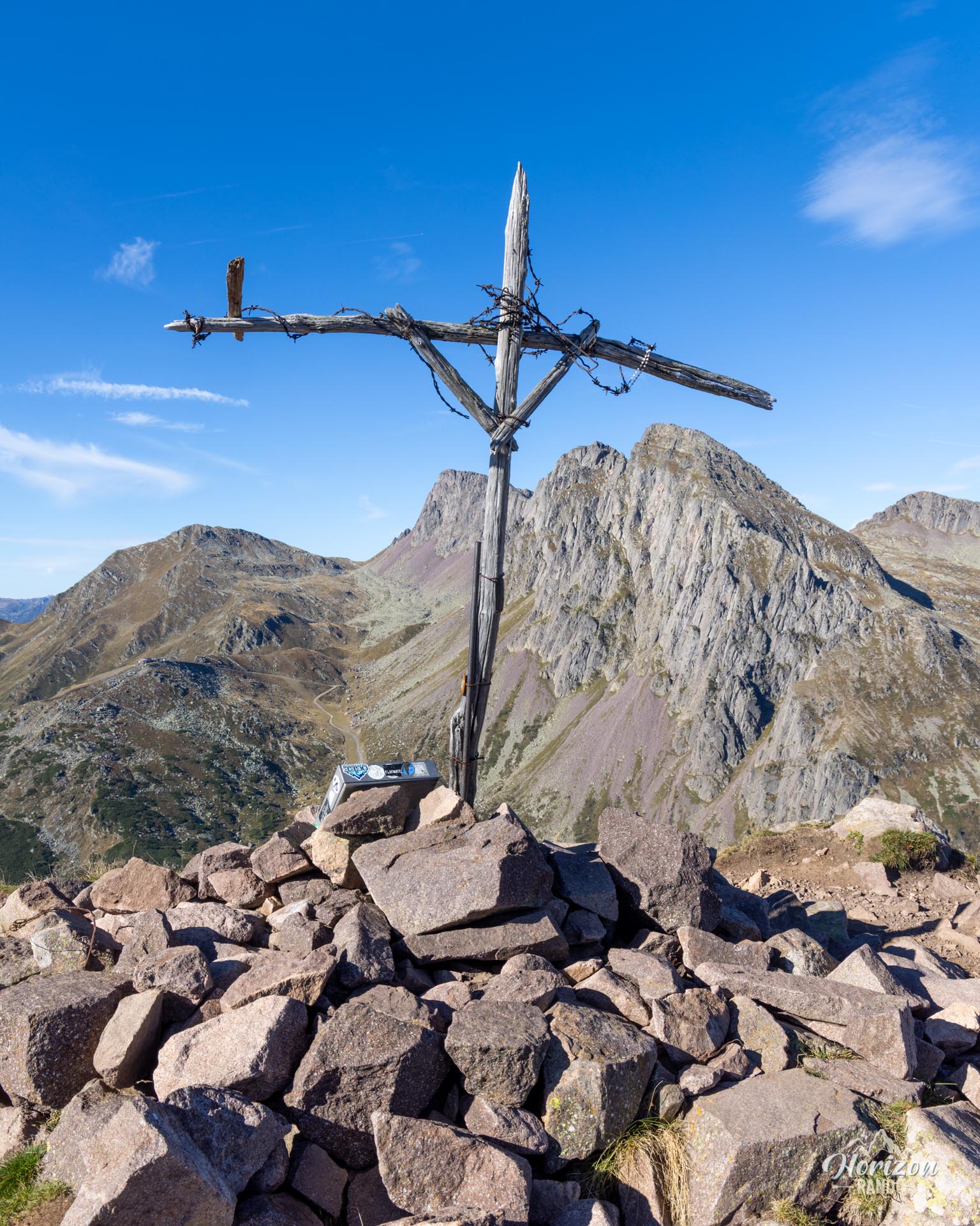
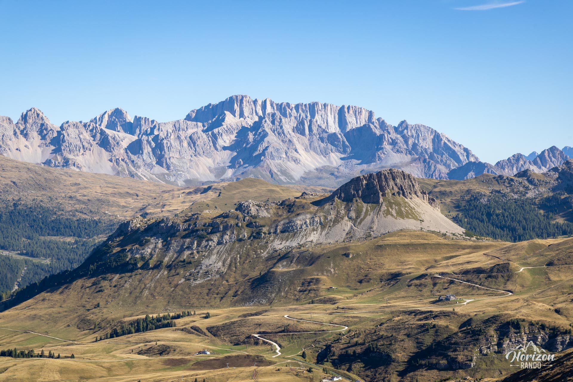
Above the chairlift, the trail becomes more natural and steadily climbs up the north face of Cavallazza Piccola (2,303 m). You skirt this secondary peak to the west and then reach the ridge that leads to the summit cross of Monte Cavallazza: a wooden cross surrounded by barbed wire, erected in memory of the battles of 1915–1917. The panorama includes the peaks of the Pale di San Martino, the south face of the Marmolada, the Catinaccio, and, farther away, the Lagorai range.
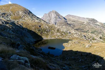
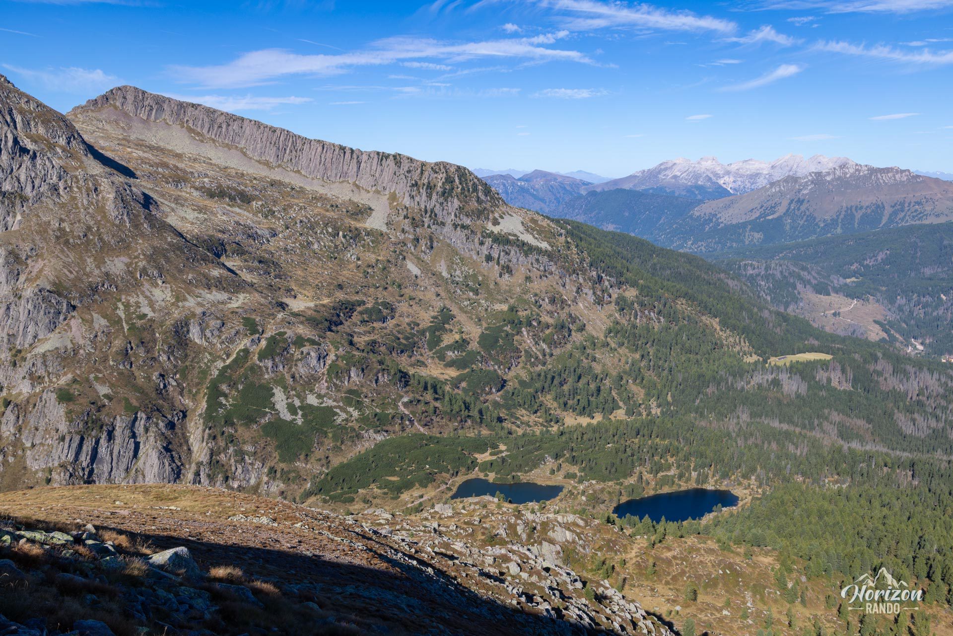
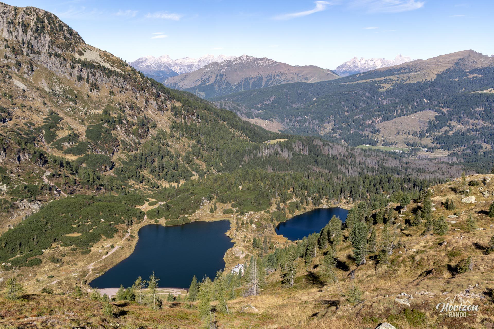
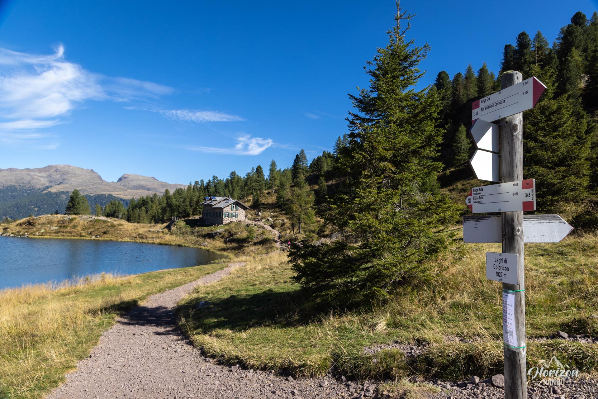
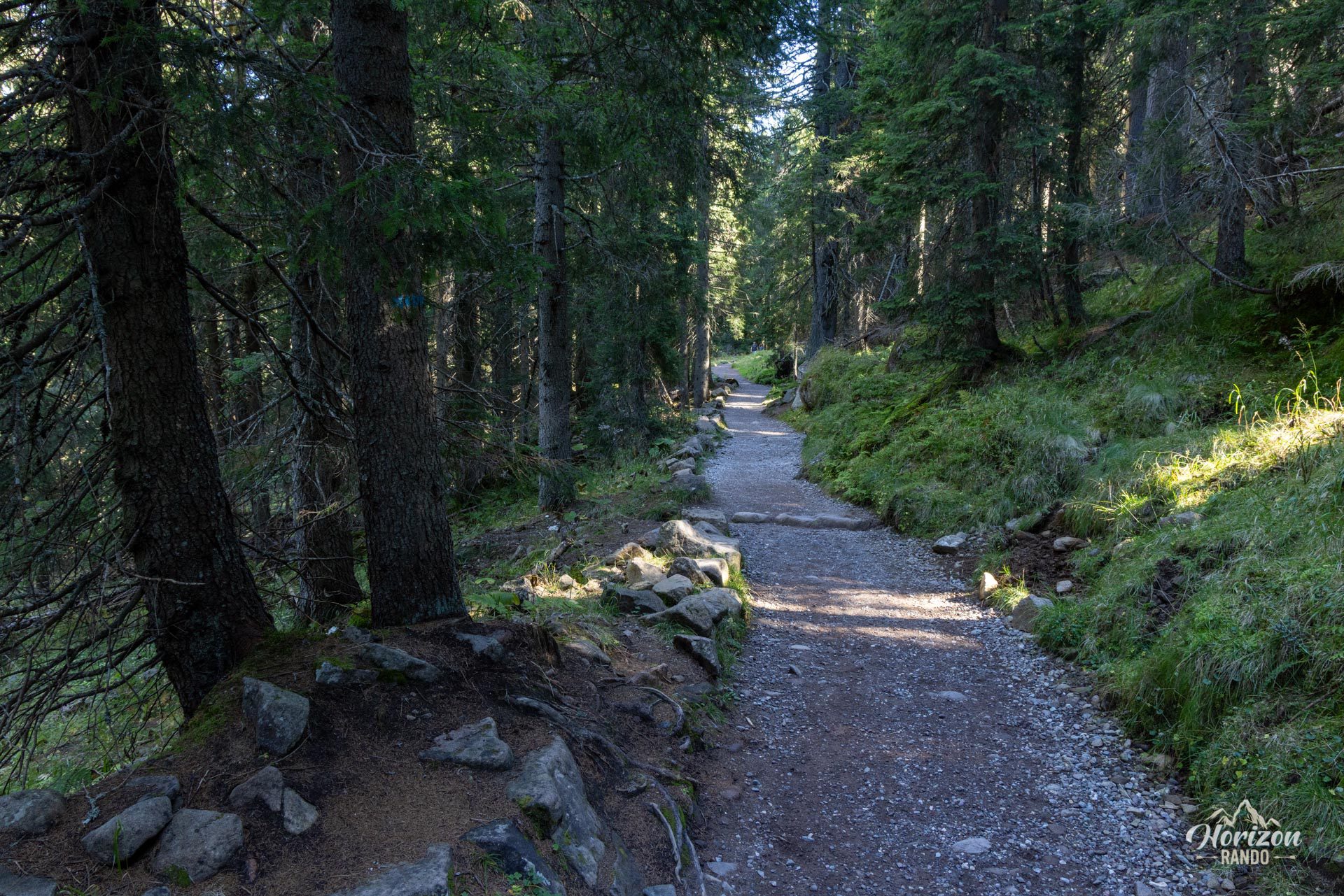
The descent to the Laghi di Colbricon (1,927 m) is the most challenging part of the route. It is a steep trail with loose gravel on volcanic rock, so caution is advised. Then, you reach the Rifugio Laghi di Colbricon, which is open seasonally, on the shores of the two small glacial lakes. The return trip follows CAI Trail 348, which crosses the Paneveggio Forest. At the Paradiso and Ferrari ski lifts, do not continue on Trail 348, which branches off to the left toward Malga Rolle. Instead, continue straight on the ski trail that leads directly back to Passo Rolle.
What you'll love
- The 360° summit panorama, which includes the white walls of the Pale di San Martino, the volcanic ridges of the Lagorai, the Marmolada, and the Catinaccio.
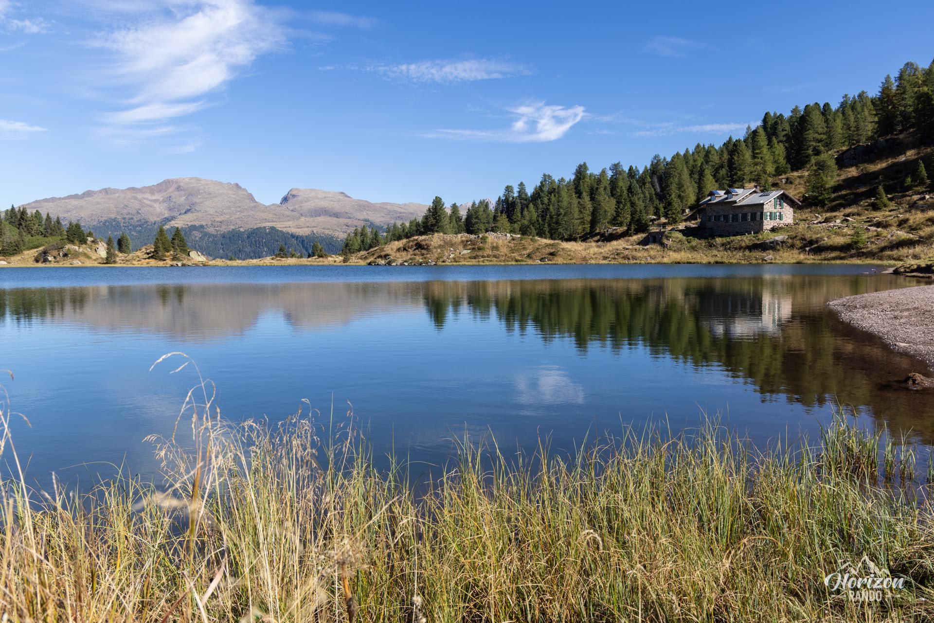
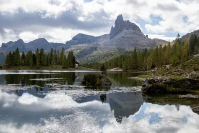
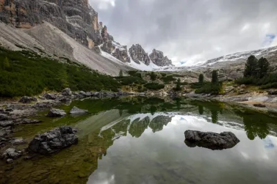
- The Laghi di Colbricon: two small glacial lakes at the foot of Colbricon in a photogenic alpine setting.
- The low number of visitors all the way to the summit, unlike the direct access to the lakes from Malga Rolle.
- Crossing the Paneveggio Forest on the way back. It is renowned for its century-old spruce trees.
Practical information
Parking
There is a large, free parking lot at Passo Rolle, right next to the pass. A possible alternative is the Malga Rolle parking lot, located two hairpin turns below.
Direction of the route
The loop is described in a clockwise direction (summit first, lakes next), which allows you to start the ascent in the cool morning air and enjoy a break at the lakes at the end of the hike. However, the descent from Monte Cavallazza is over steep scree. If you prefer to tackle this section on the way up, opt for the counterclockwise direction.
Best time to go
June through October. The Laghi di Colbricon lakes may remain partially frozen late in the season, and snowfields often persist on the north face of Cavallazza until June.
Dining
The Rifugio Laghi di Colbricon, located on the shore of the lower lake, is open during the summer.
Photos
See all 14 photos →
More hikes to do in the Dolomites
Nearby hikes
Printed from www.horizonrando.fr/en/hiking-dolomites/monte-cavallazza-and-laghi-di-colbricon-hike/