





Monte Mulaz Hike
Key facts about the hike
- Difficulty
- Hard Hikes are rated from very easy to very hard: my difficulty scale
- Duration
- 7h30 Estimated time, short breaks included (photos, water, snacks), picnic not included: how it is calculated
- Distance
- 18.6km
- out and back
- Elevation gain
- 1,420m
- Type of route
- Out and back
- Maximum altitude
- 2,906 m
- Vertiginous Five levels, depending on how exposed the route is: the levels in detail
- Slightly
- Marked
- Yes
- Popularity
- Moderate
- Start point
- 46.29638, 11.78591
- Activity
- Hiking
Hike overview
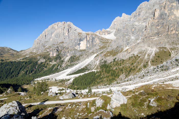
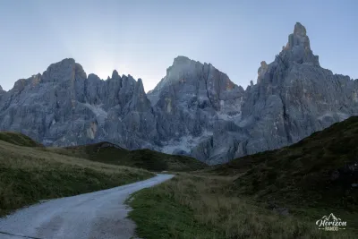
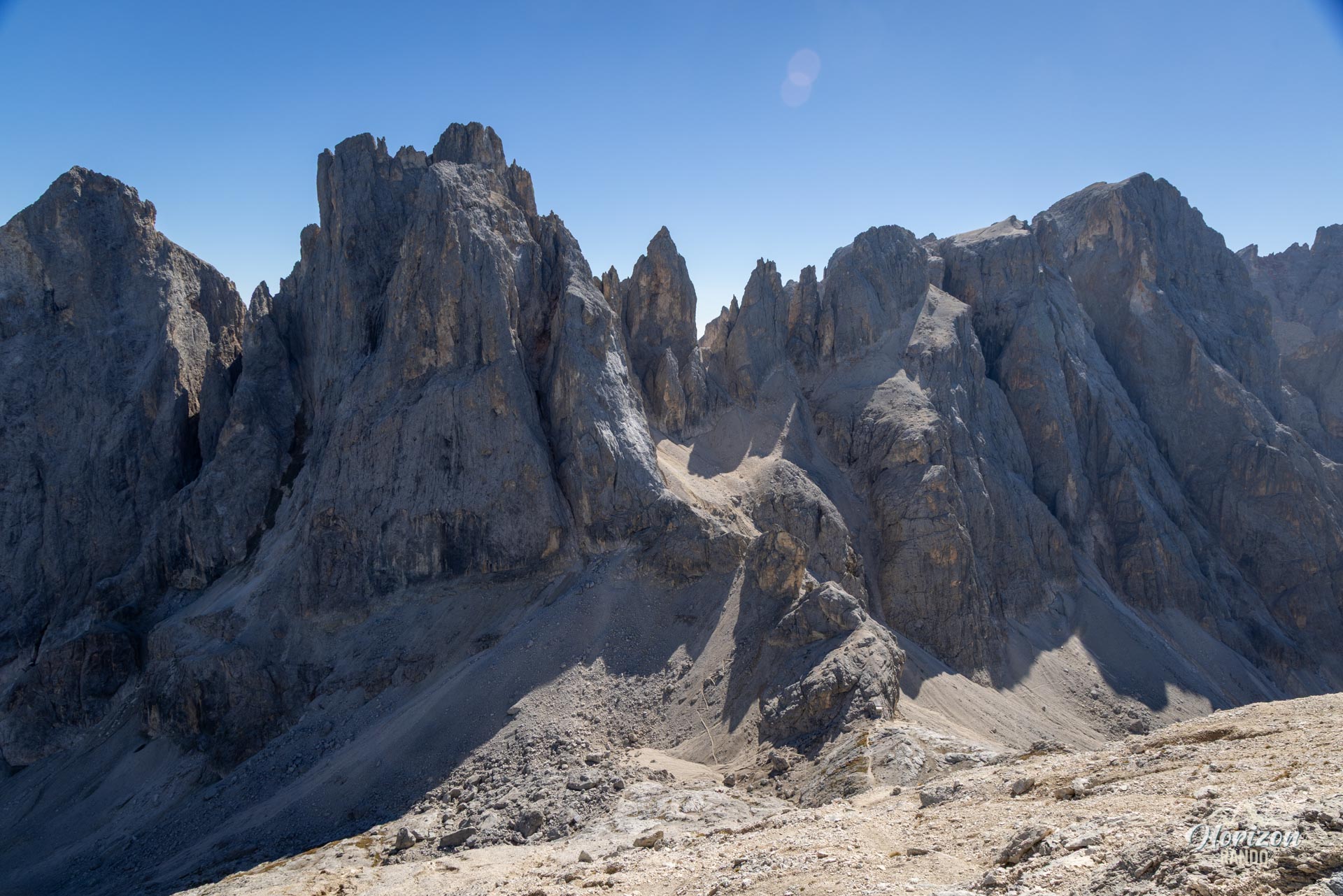
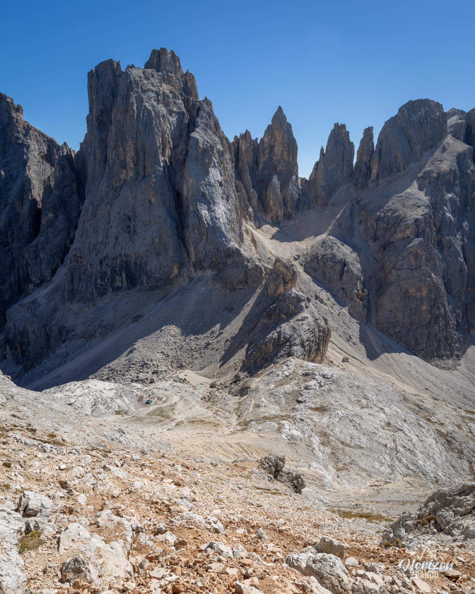
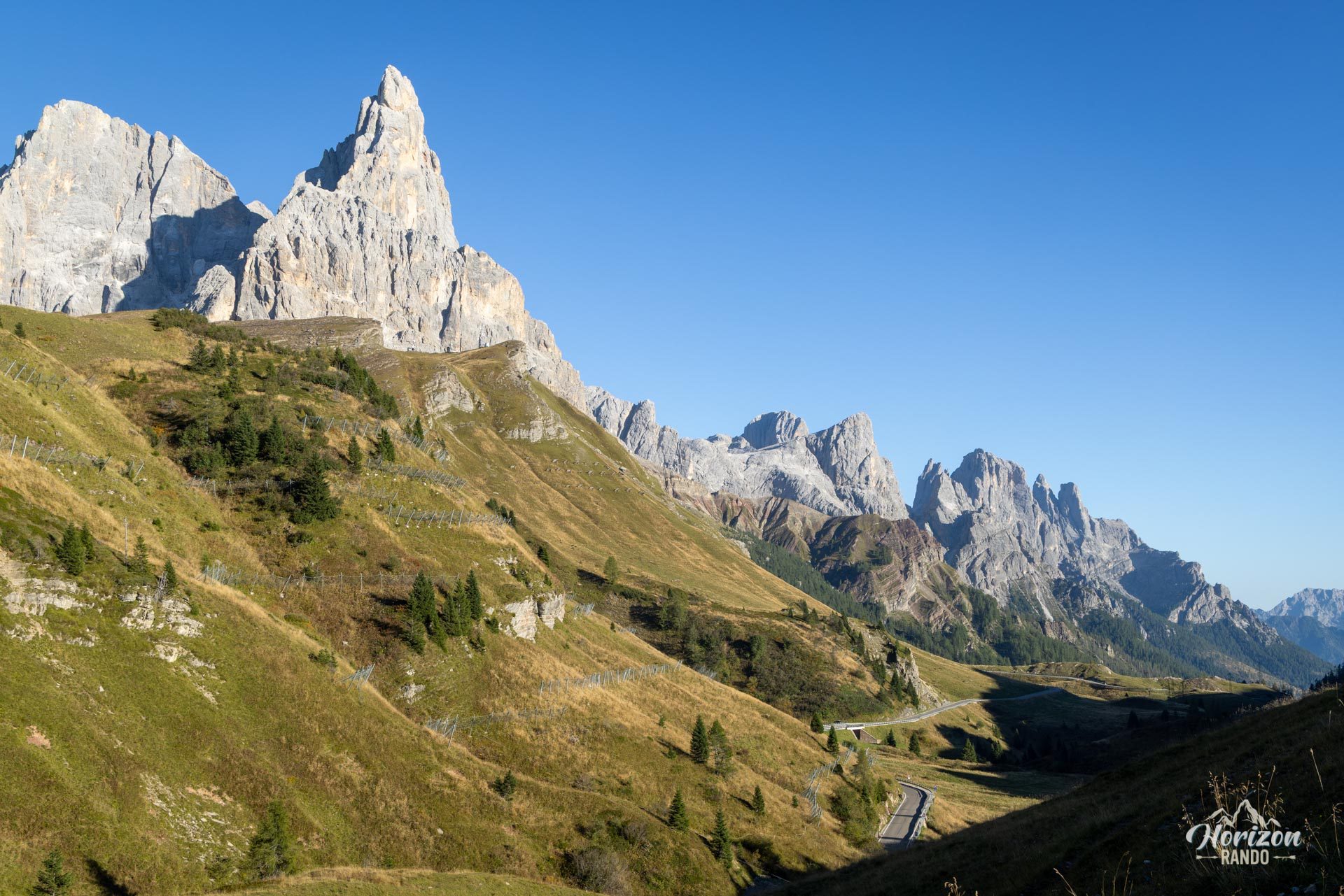
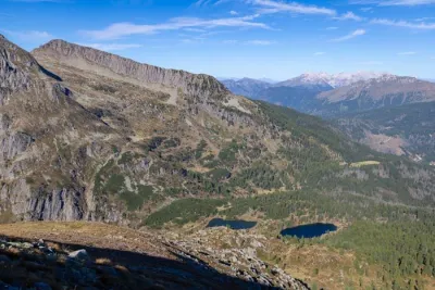
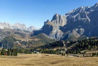
This long hike starts at Passo Rolle and ascends to Monte Mulaz (2,906 m), the northernmost peak of the Pale di San Martino massif. The route passes through Baita Segantini and Val Venegia before entering a rocky landscape of scree fields and jagged peaks.
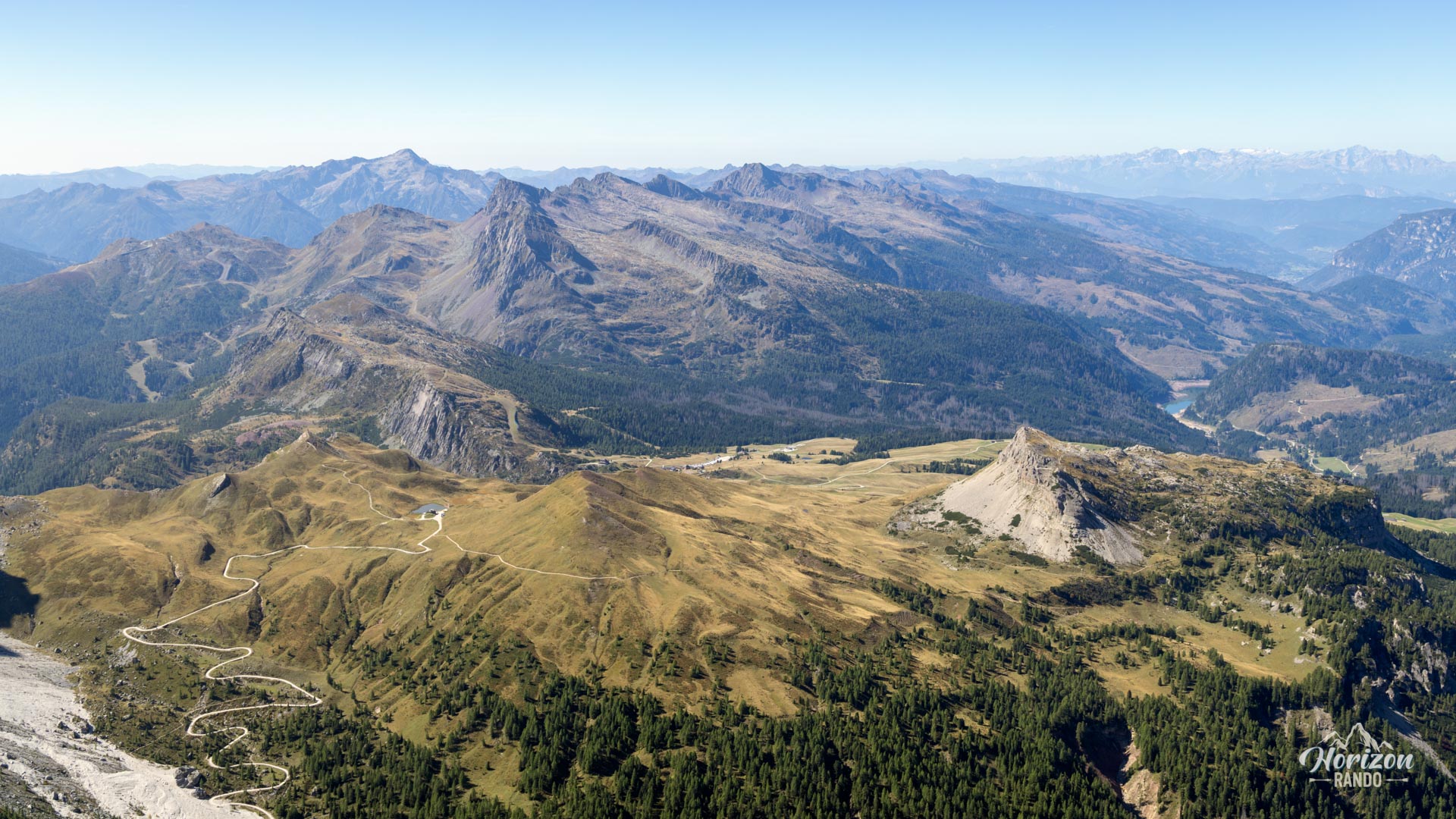
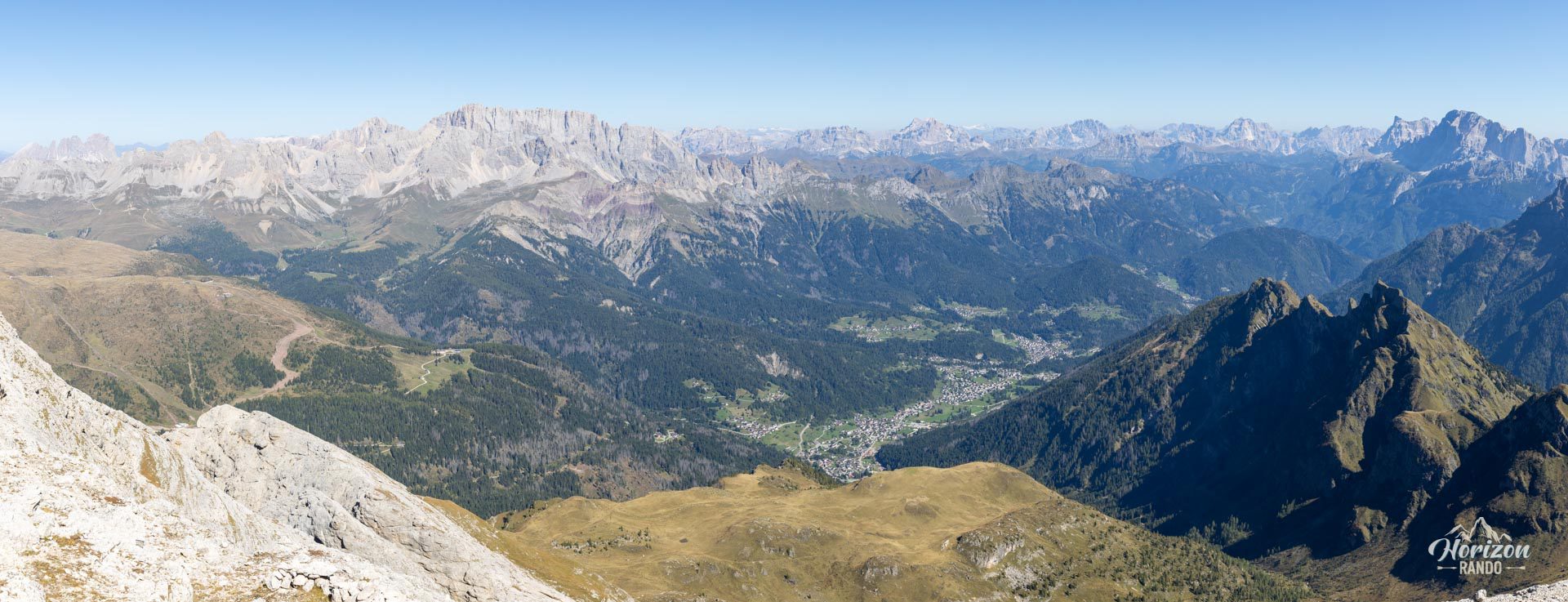
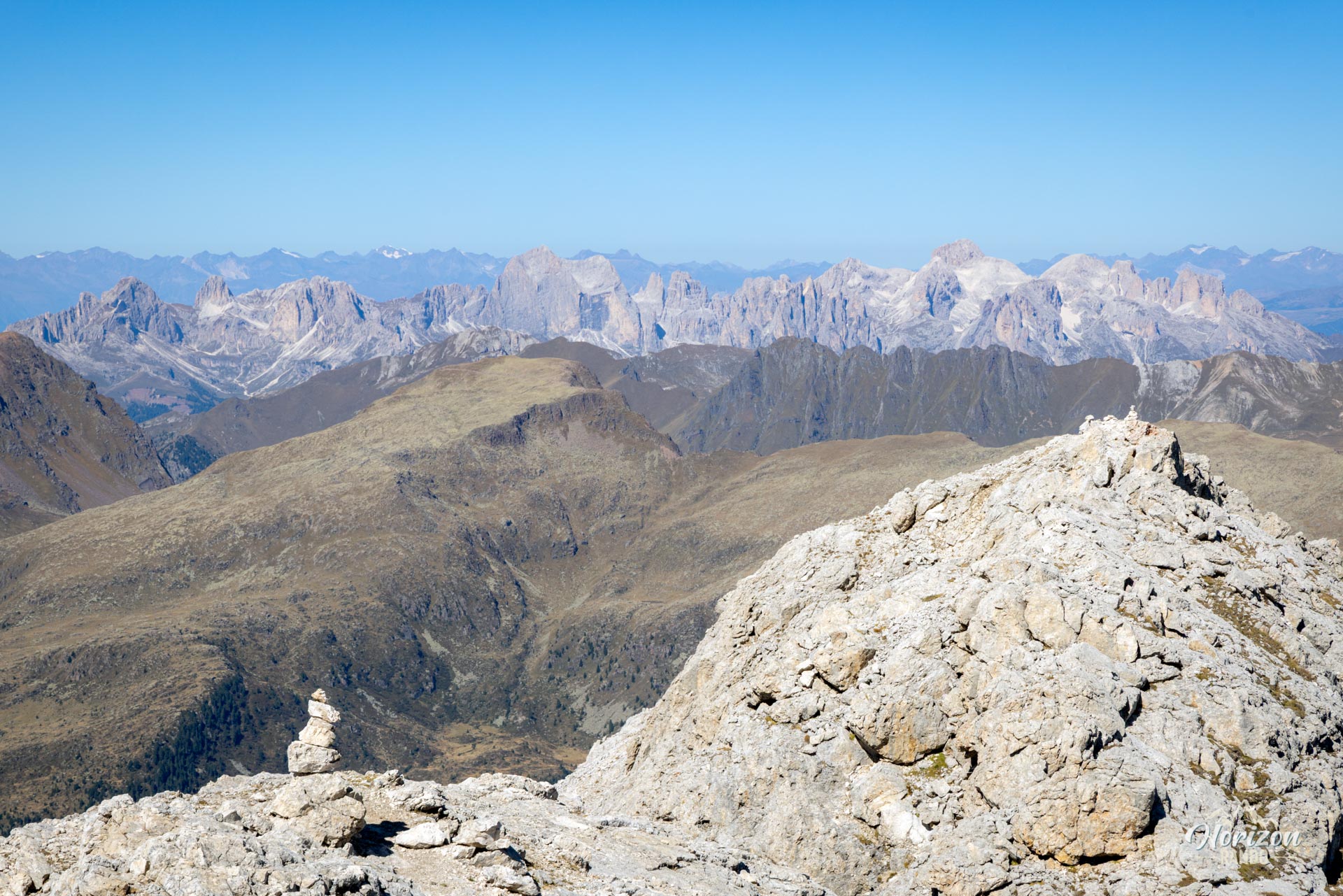
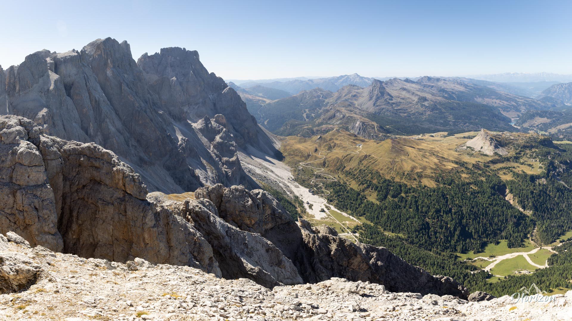
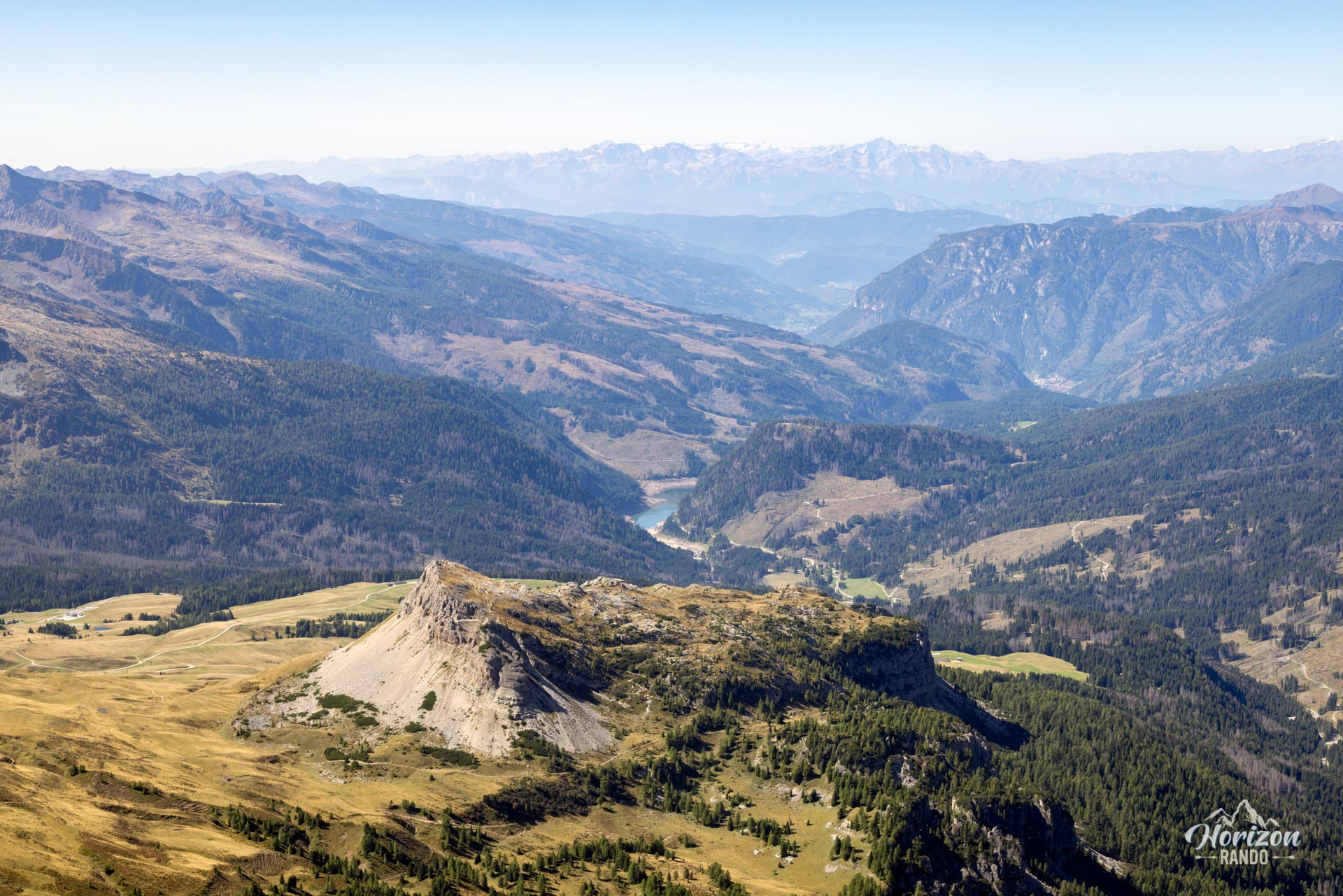
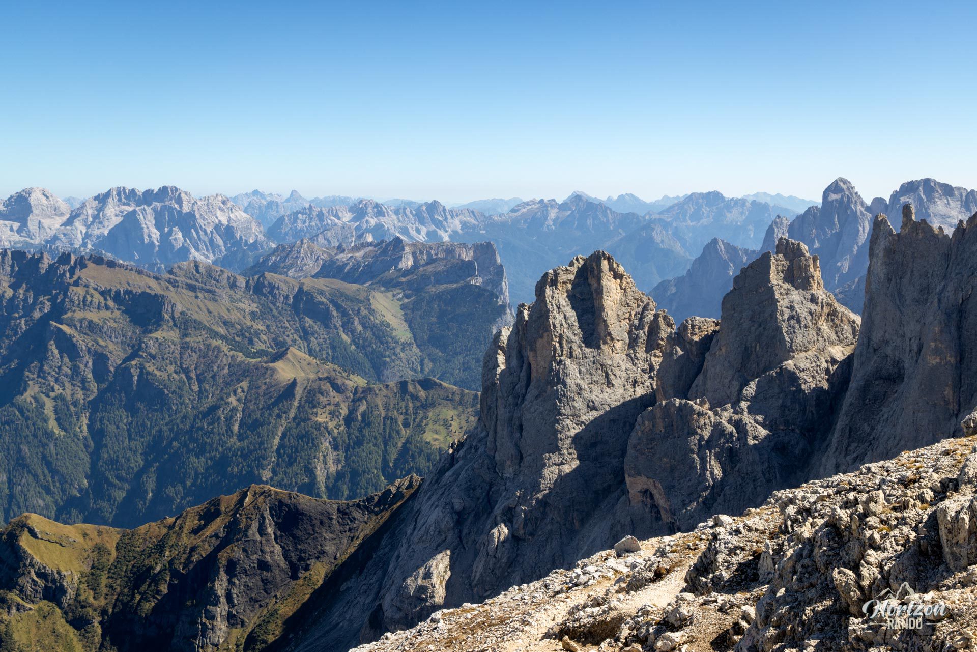
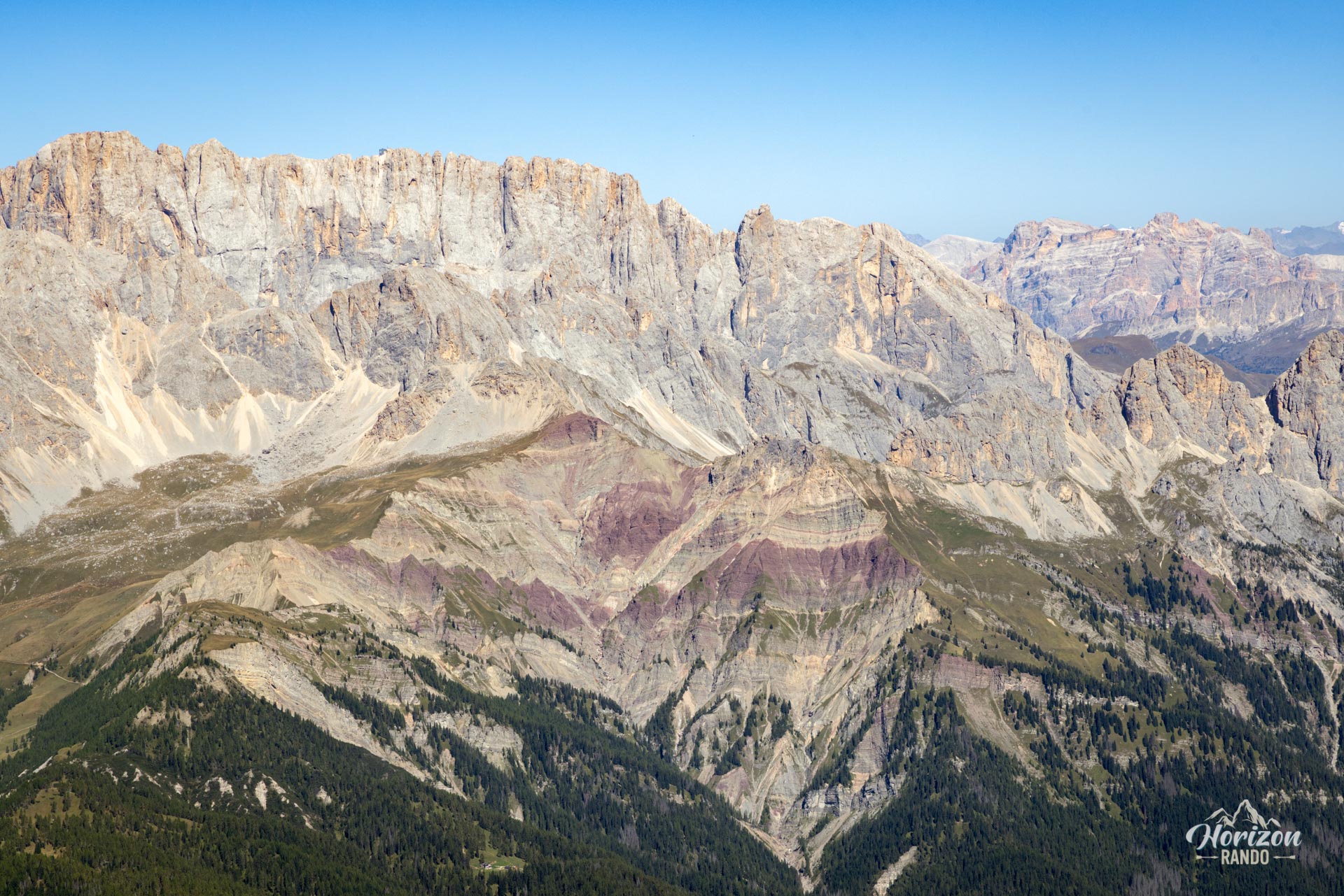
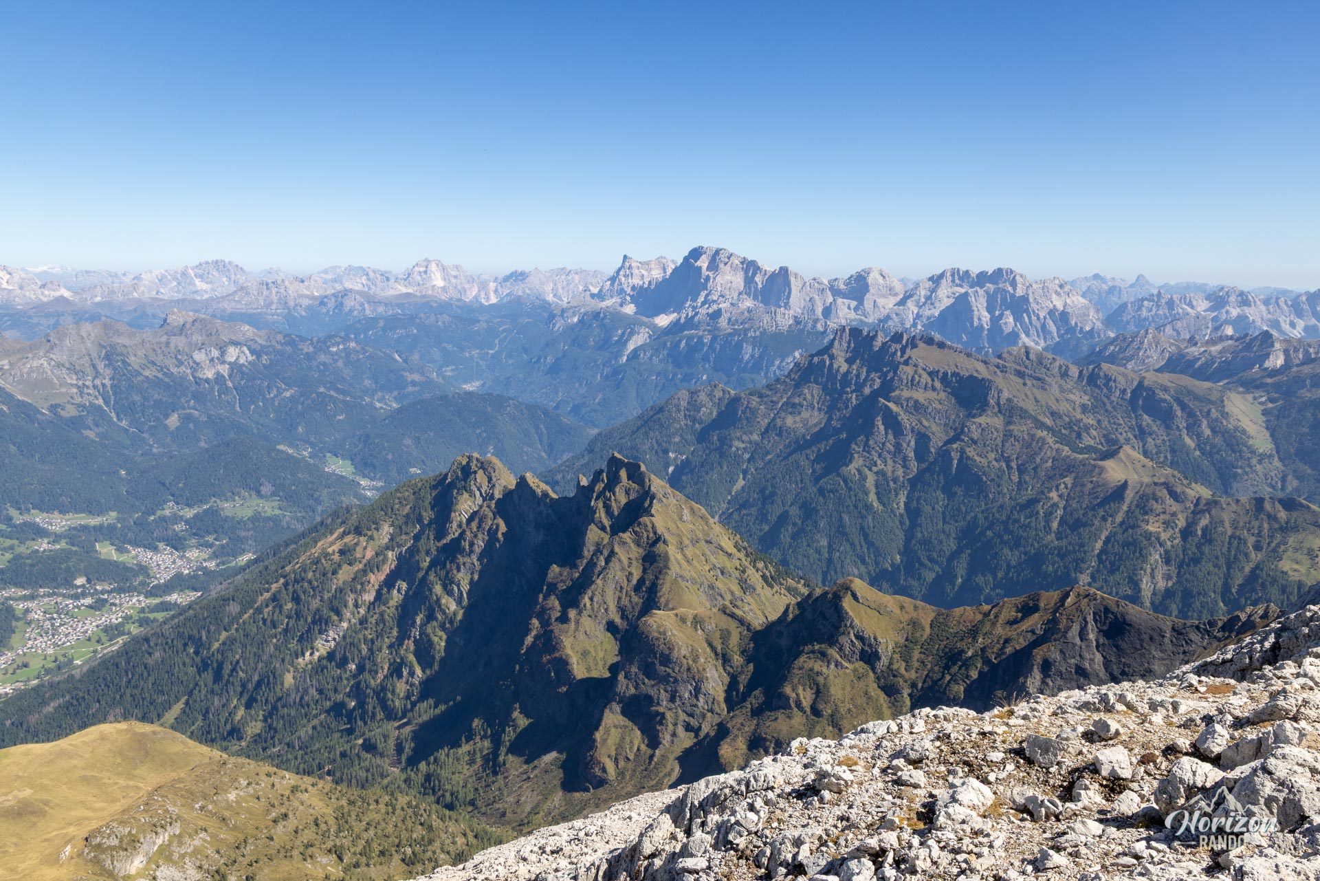
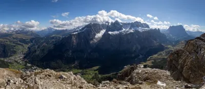
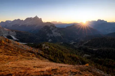
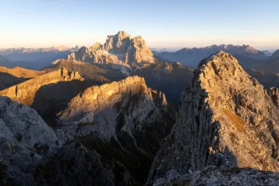
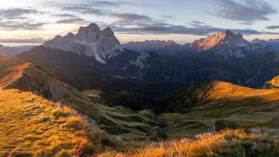
Hikers are rewarded with a 360° panorama of the Marmolada, the Rosengarten, the surrounding valleys, and the San Martino peaks towering over a spectacular rocky amphitheater. It is a demanding route, but there are no real technical difficulties, and crowds thin out once you leave Val Venegia.
Map and elevation profile of the hike
Monte Mulaz Hike
Description and difficulties of the hike
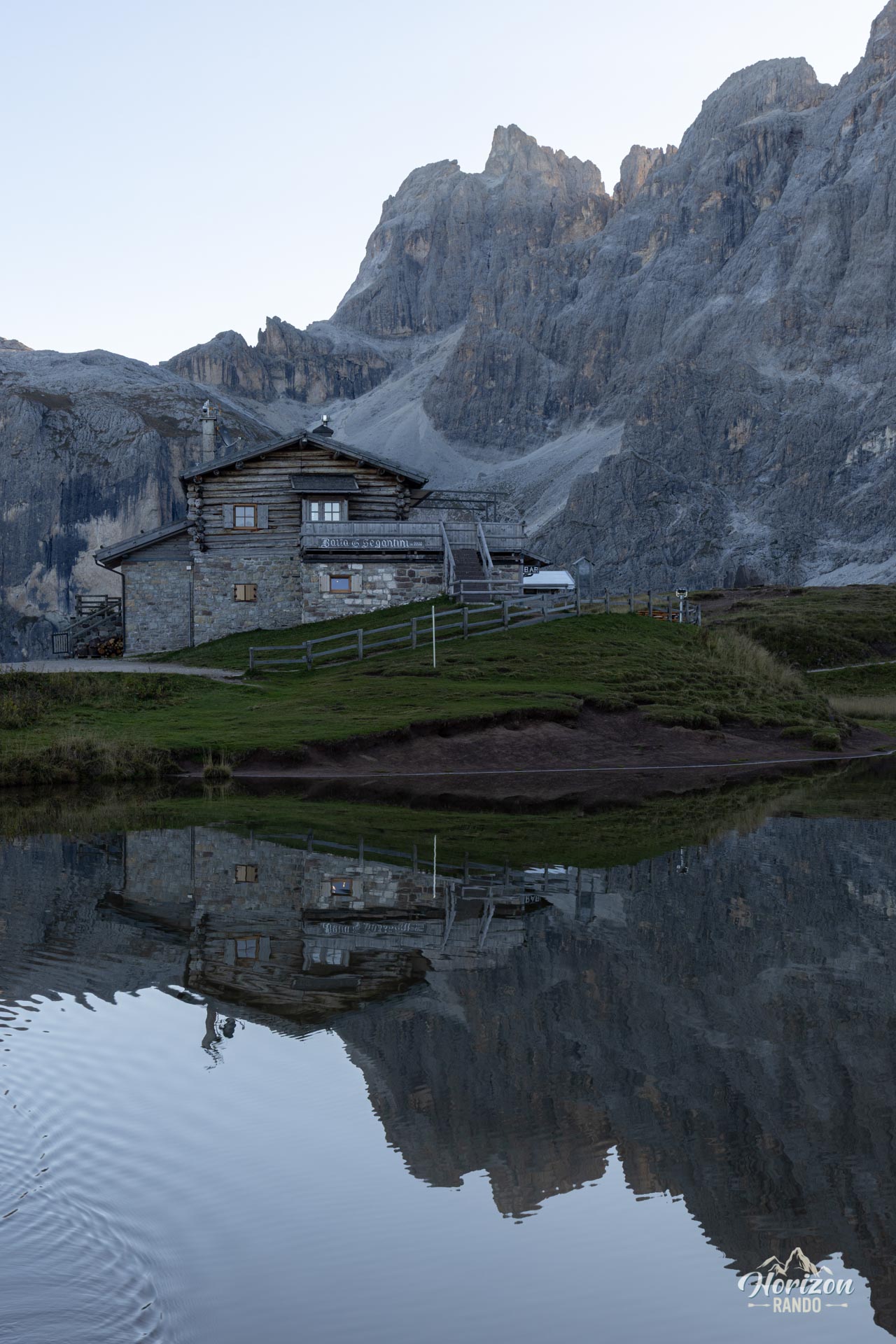
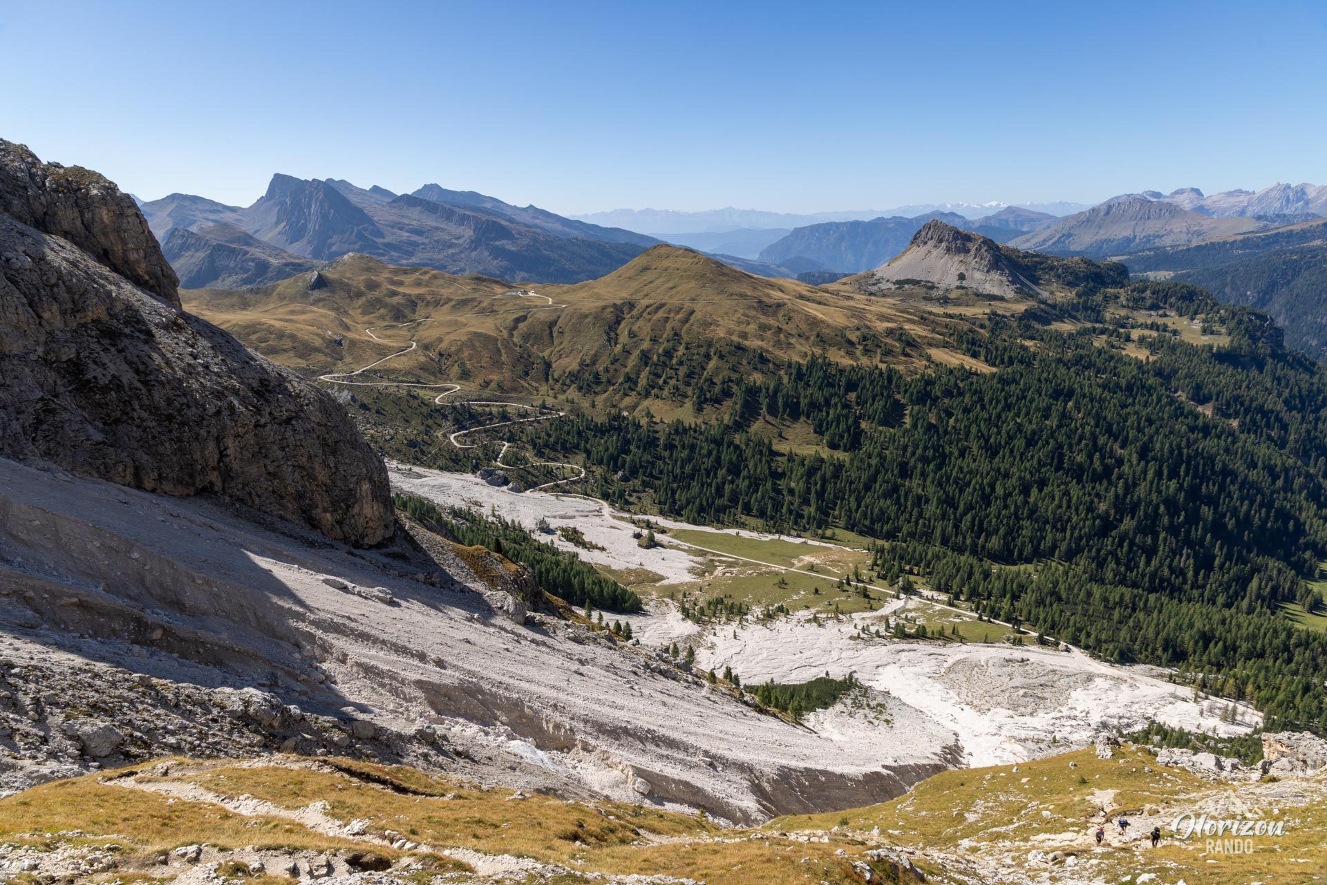
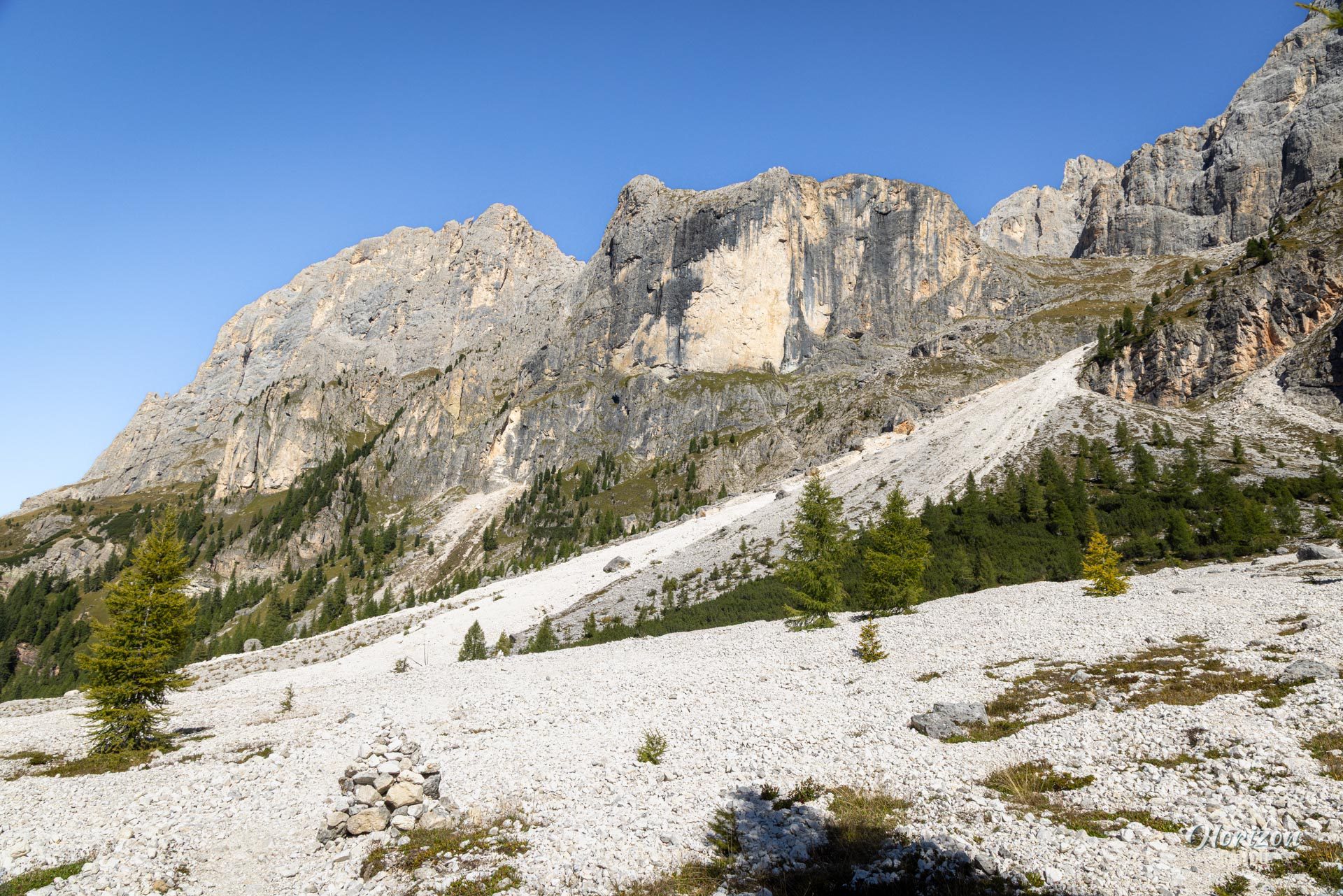
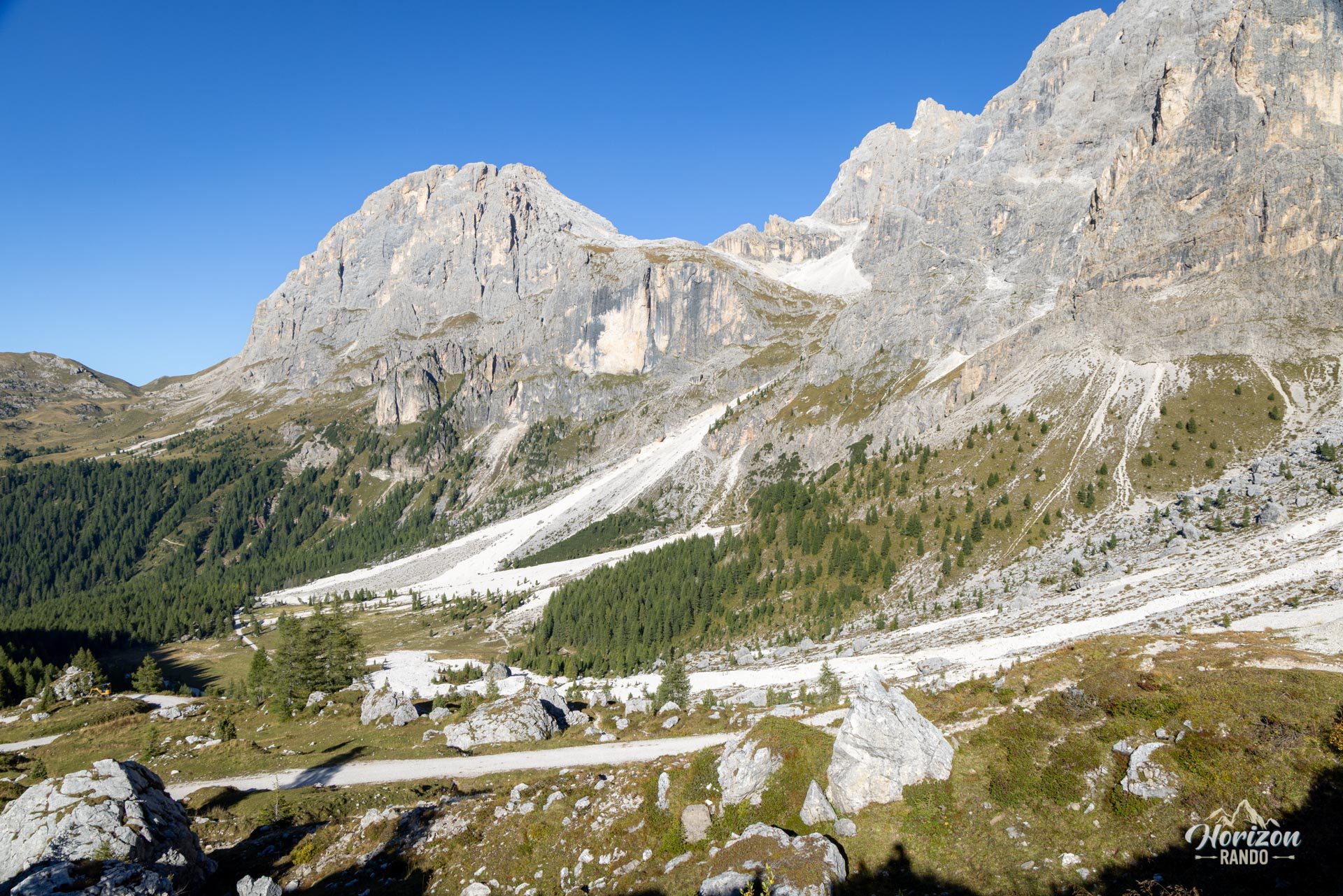
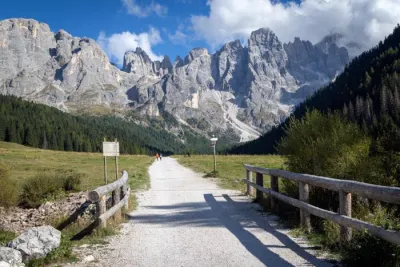
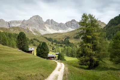
From the Passo Rolle trailhead, cross the road and follow the trail heading due north. After about 500 meters, you will reach an intersection with the Strada Val Venegia. Take the unnumbered trail that climbs parallel to the track to Baita Segantini. Switch to the Strada Val Venegia there, which winds down toward Val Venegia, a wide, pastoral valley dominated to the east by the Pale di San Martino. Before reaching the bottom of the valley, turn right toward the northeast onto Trail 710A. This trail quickly joins Trail 710, which heads toward Passo Mulaz. Since the landslide in September 2025, which led to the closure of the lower valley section of Trail 710, this alternative route has become the standard route.
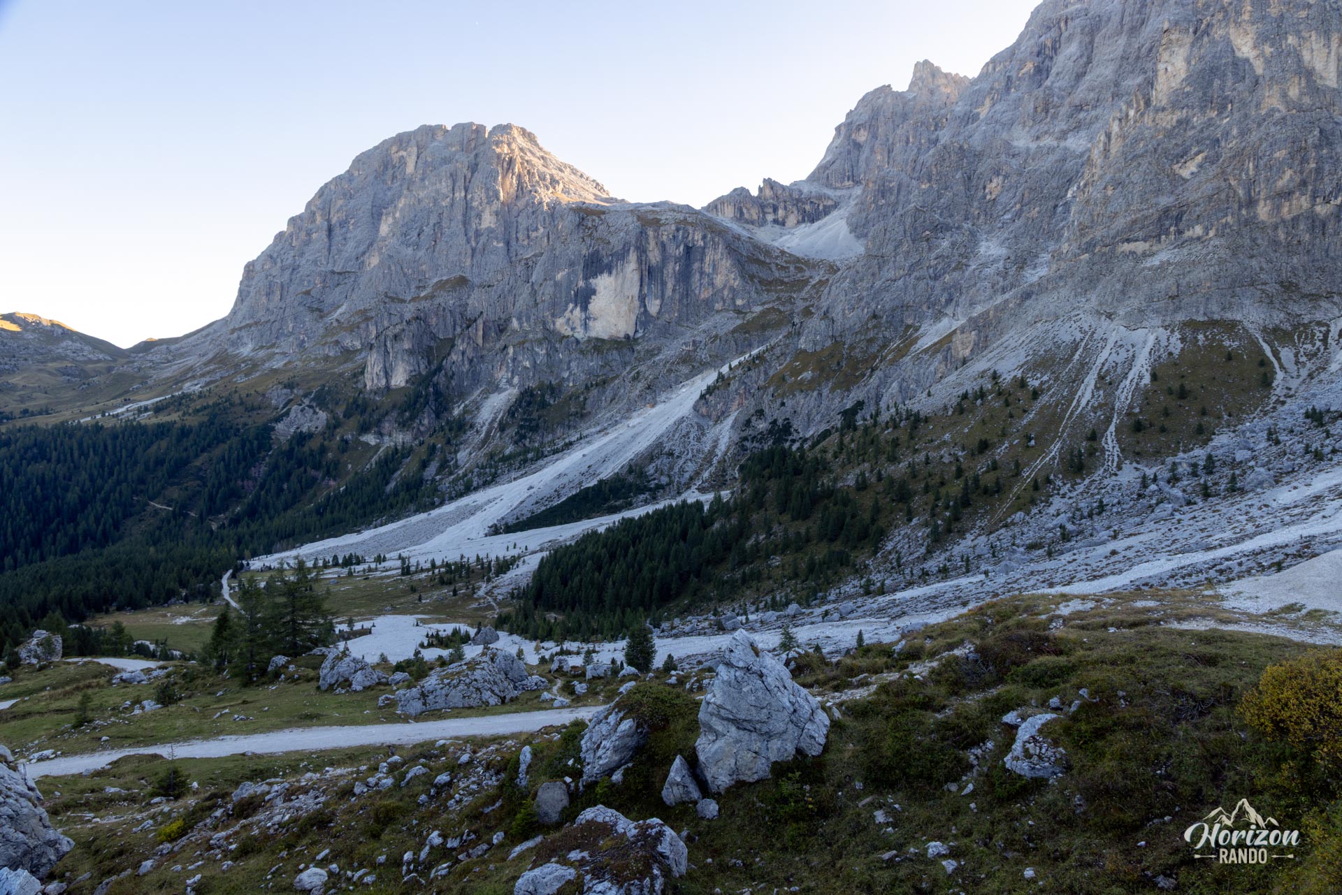
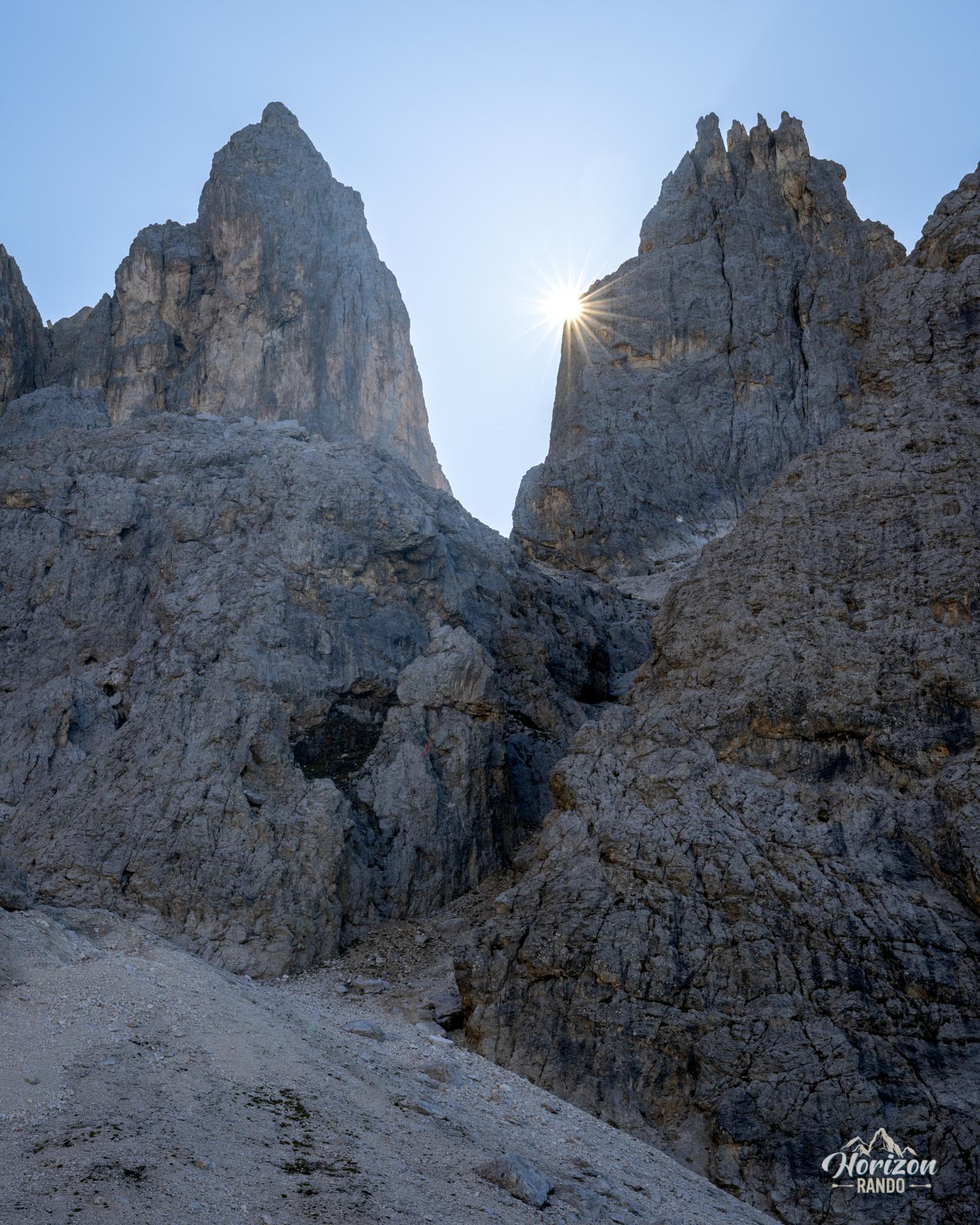
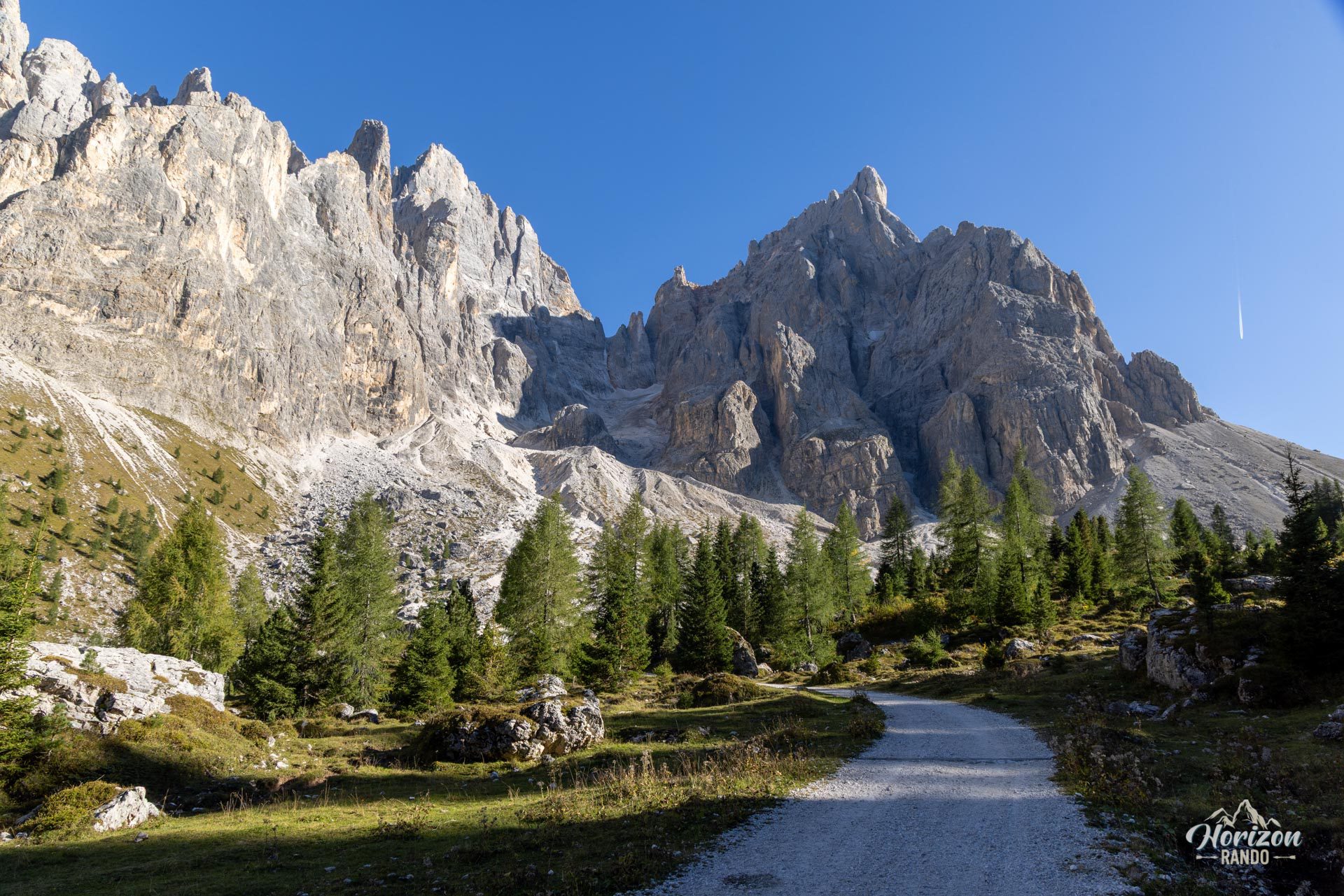
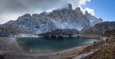
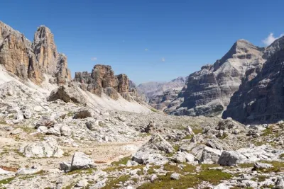
This section is quite challenging, with steep switchbacks, scree to cross, and passages beneath the impressive, vertical cliffs of the Pale di San Martino. The slope eases briefly on a flat section before the final ascent to Passo Mulaz (2,619 m). There are clear trail markers, consistent signs for Rifugio Mulaz, and a perfectly maintained trail.
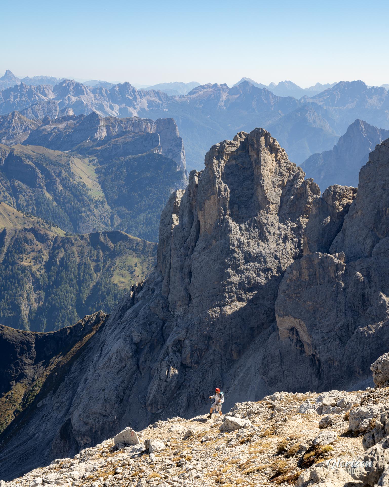
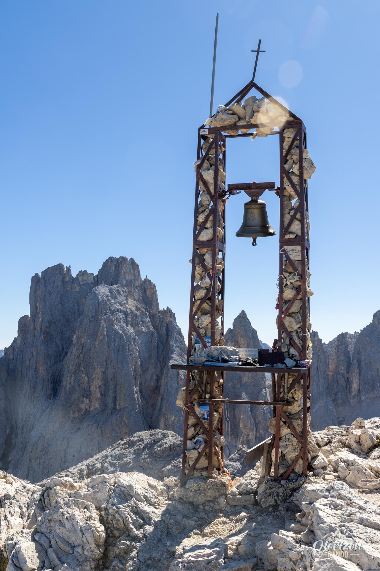
At the pass, do not descend toward Rifugio Mulaz, which is visible about ten minutes below. Instead, take the trail that branches off to the left (north) a few dozen meters past the pass. This section is neither marked nor signposted; you must carefully follow the cairns because numerous false paths lead off into the scree. The simple rule is that if the path leads you to a tricky section, you've likely strayed from the main path. In that case, turn back. There are no significant technical sections, but the terrain is difficult, consisting of scree and unstable loose rocks between the pass and the summit cross. Return via the same route.
What you'll love
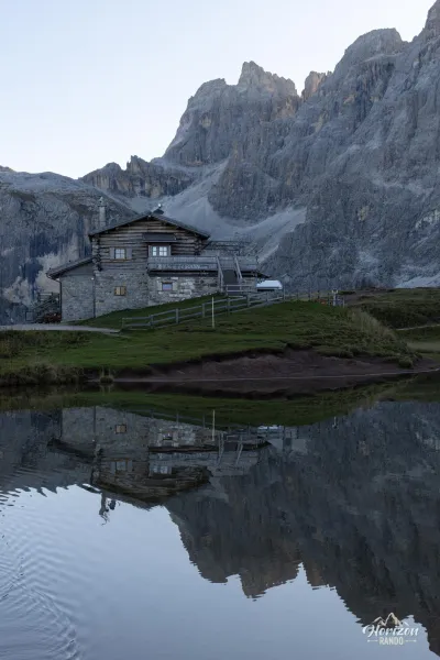
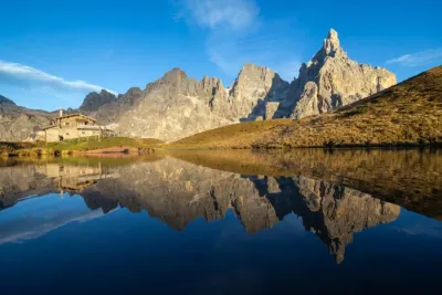
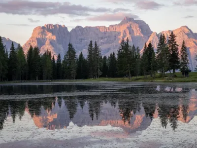
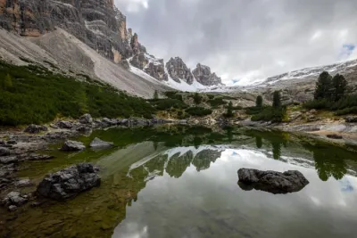
- The Baita Segantini setting: a small lake, a historic mountain hut, and the Pale di San Martino wall comprise one of the most photogenic scenes in the Dolomites.
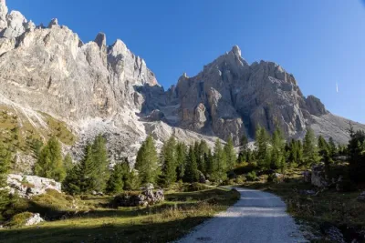
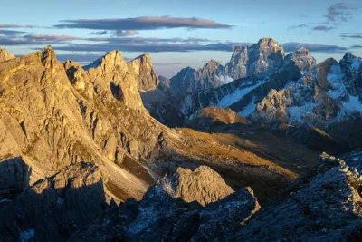
- The immersion in a high-mountain setting among jagged peaks, vertical cliffs, and rocky cirques.
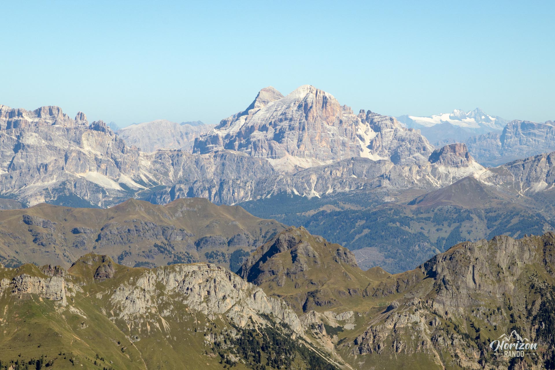
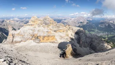
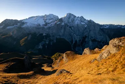
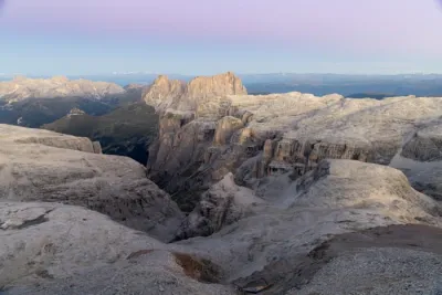
- The 360° summit panorama: Marmolada, Catinaccio (Rosengarten), Tofane, Civetta, and the entire Pale di San Martino wall in a dizzying bird's-eye view.
- The moderate foot traffic once you leave Val Venegia, a welcome change from the usual crowds at Baita Segantini.
Practical information
Parking
A large parking lot at Passo Rolle (free as of 2025), right next to the pass.
Best time to go
July through September. Before July, snowfields may persist in the upper section, making progress between Passo Mulaz and the summit difficult. Set out early to avoid afternoon thunderstorms, which are common in the Dolomites during the summer.
Refreshments
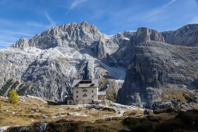
Baita Segantini and Capanna Cervino are located along the Val Venegia route. Rifugio Volpi al Mulaz (2,571 m), located 10 minutes below Passo Mulaz, offers the option of a short detour for a gourmet break.
Photos
See all 23 photos →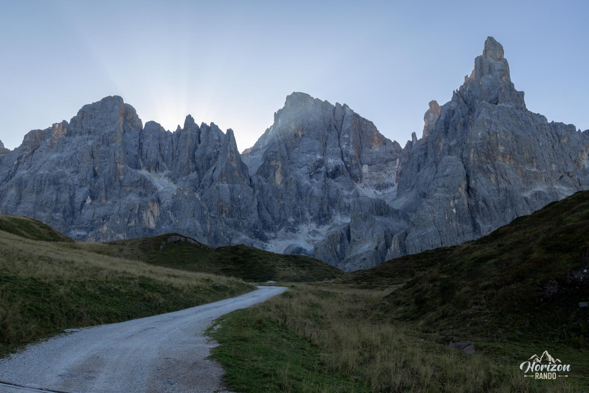
More hikes to do in the Dolomites
Nearby hikes
Printed from www.horizonrando.fr/en/hiking-dolomites/monte-mulaz-hike/