





Forca Rossa and Rifugio Fuciade Hike
Key facts about the hike
- Difficulty
- Moderate Hikes are rated from very easy to very hard: my difficulty scale
- Duration
- 4h15 Estimated time, short breaks included (photos, water, snacks), picnic not included: how it is calculated
- Distance
- 10.9km
- Elevation gain
- 680m
- Type of route
- Loop
- Maximum altitude
- 2,492 m
- Vertiginous Five levels, depending on how exposed the route is: the levels in detail
- No
- Marked
- Partially
- Popularity
- Low
- Start point
- 46.38216, 11.82381
- Activity
- Hiking
Hike overview
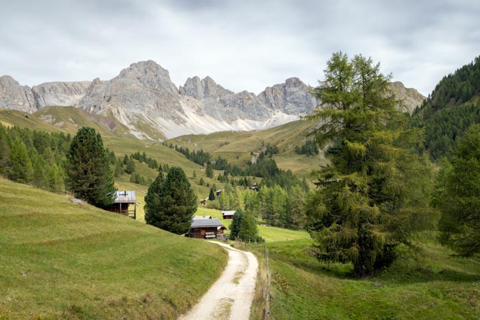
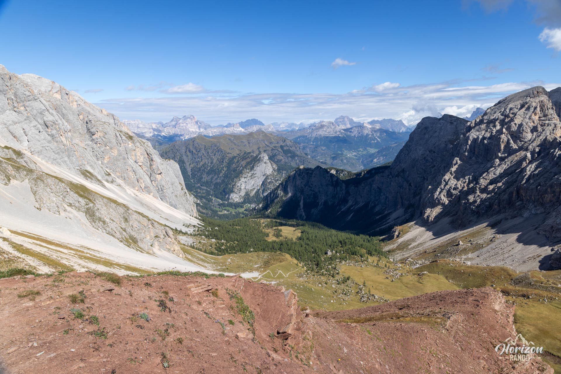
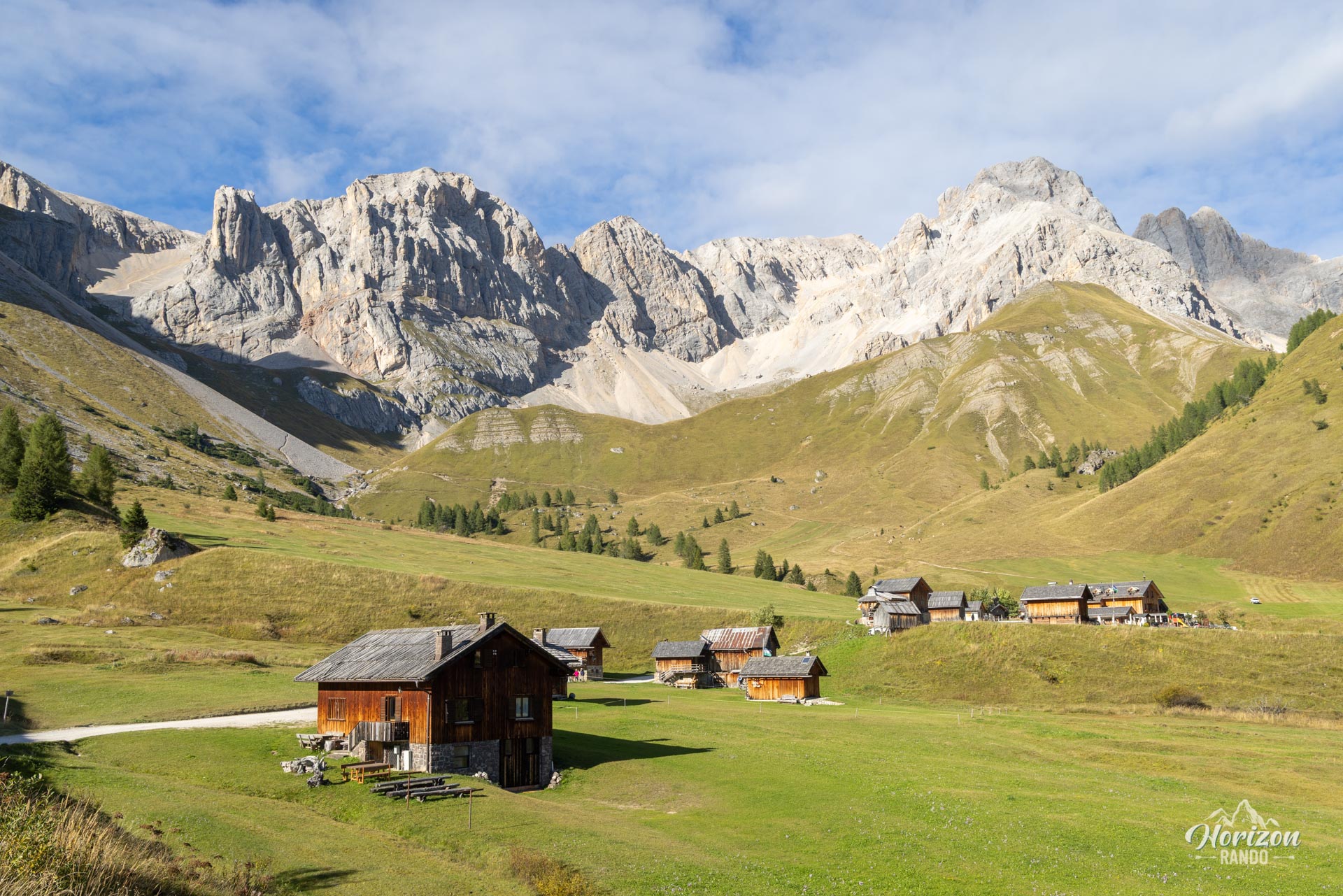
This loop hike crosses the serene alpine pastures of Valfredda to reach the Forca Rossa Pass (2,490 m), a true panoramic balcony over the Dolomites and Marmolada massif. This varied, little-traveled route winds through forests and high-altitude meadows dotted with small, traditional wooden chalets. It ends with a tasty finale at the Rifugio Fuciade.
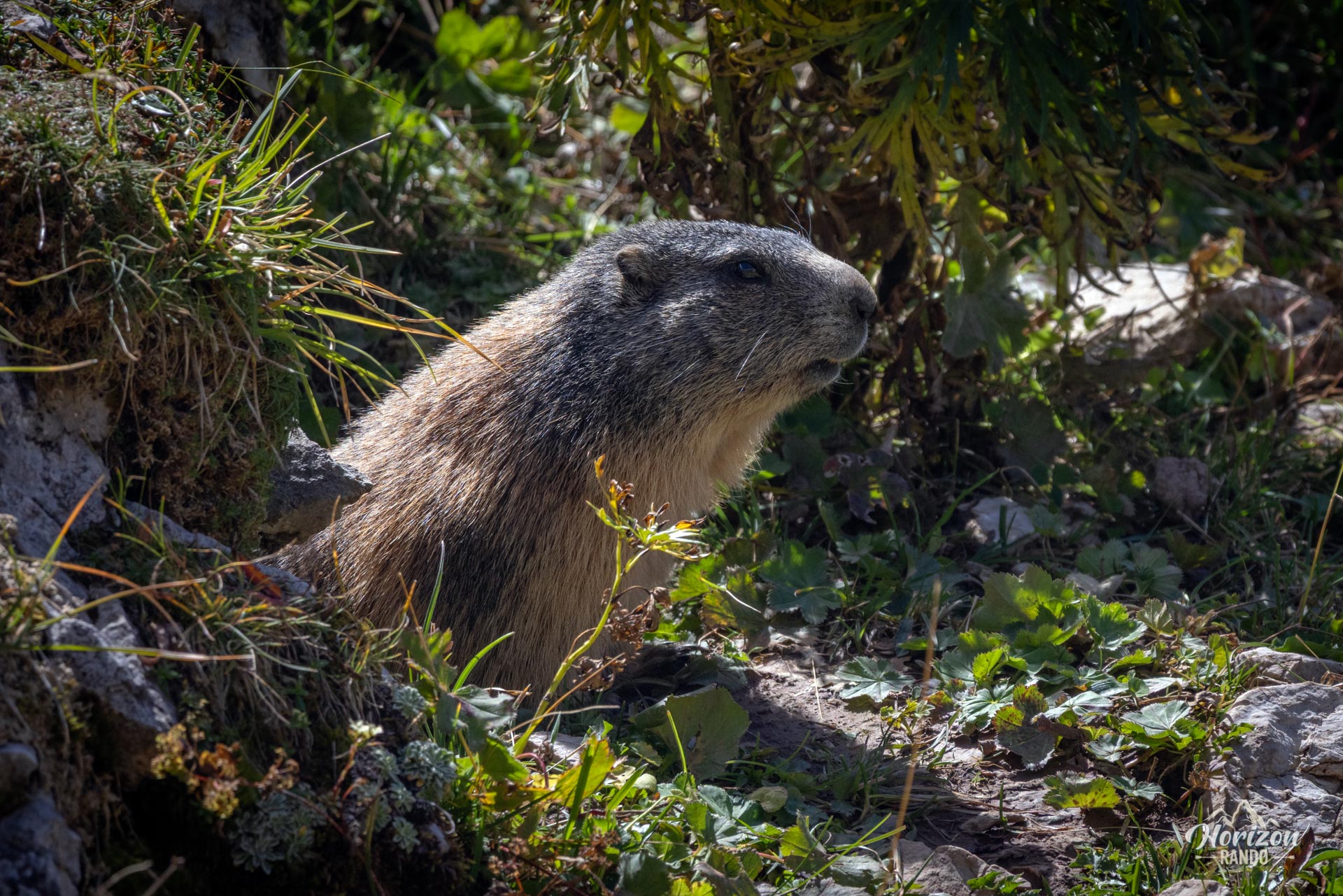
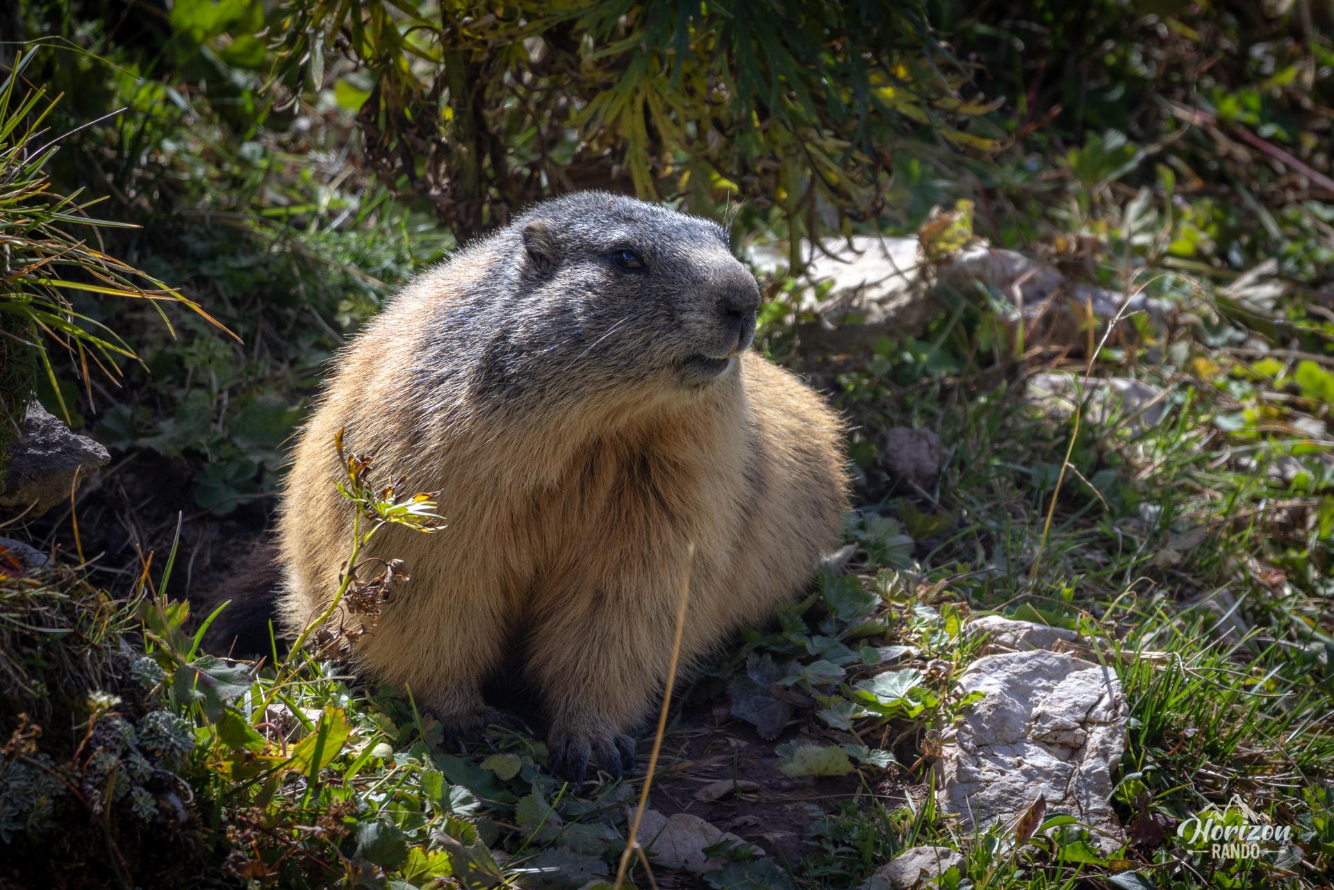
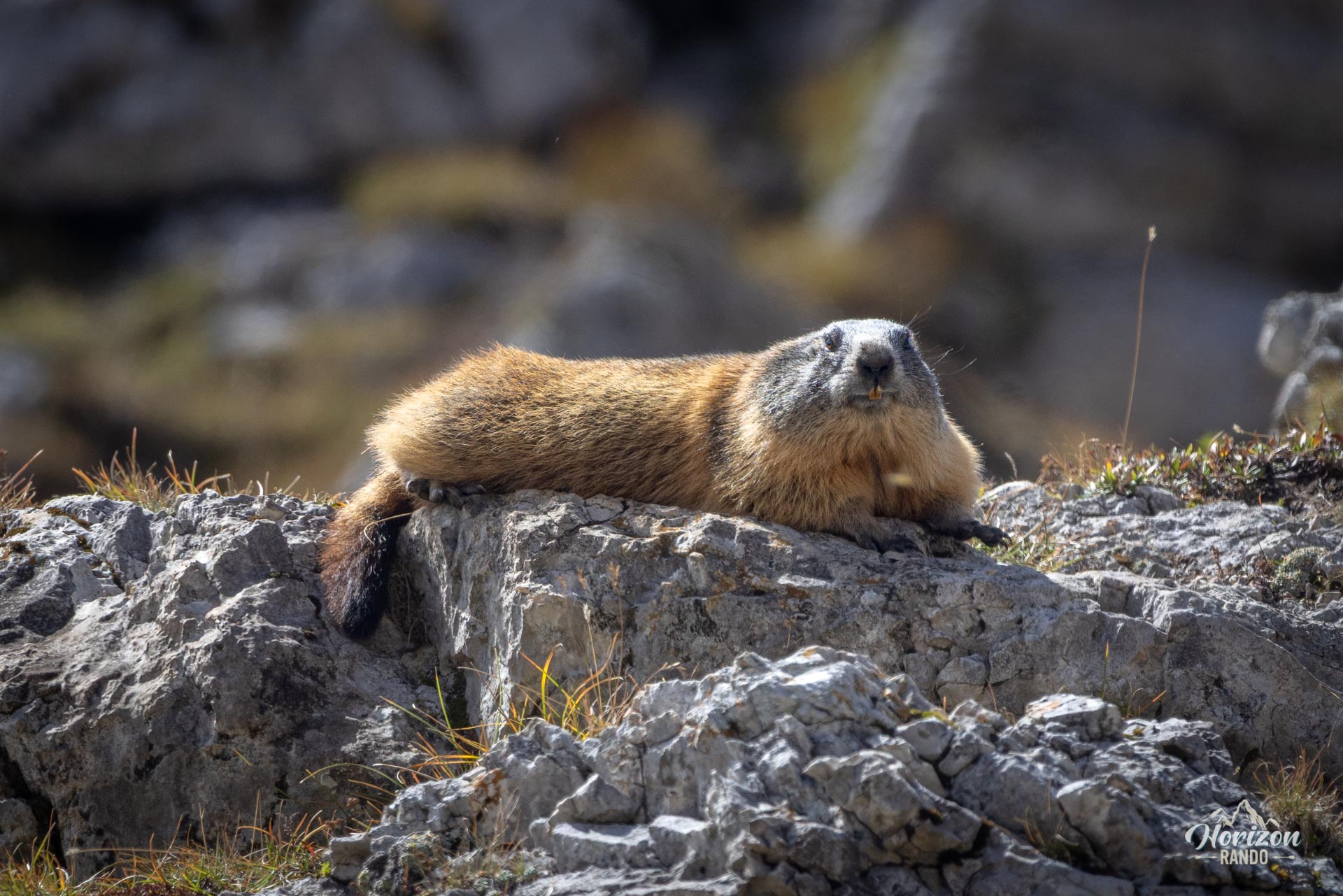
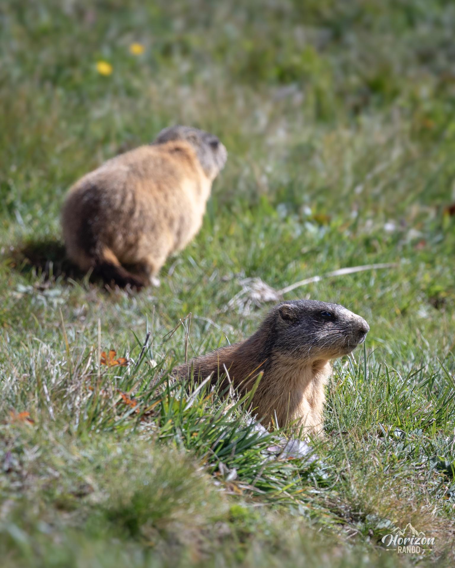
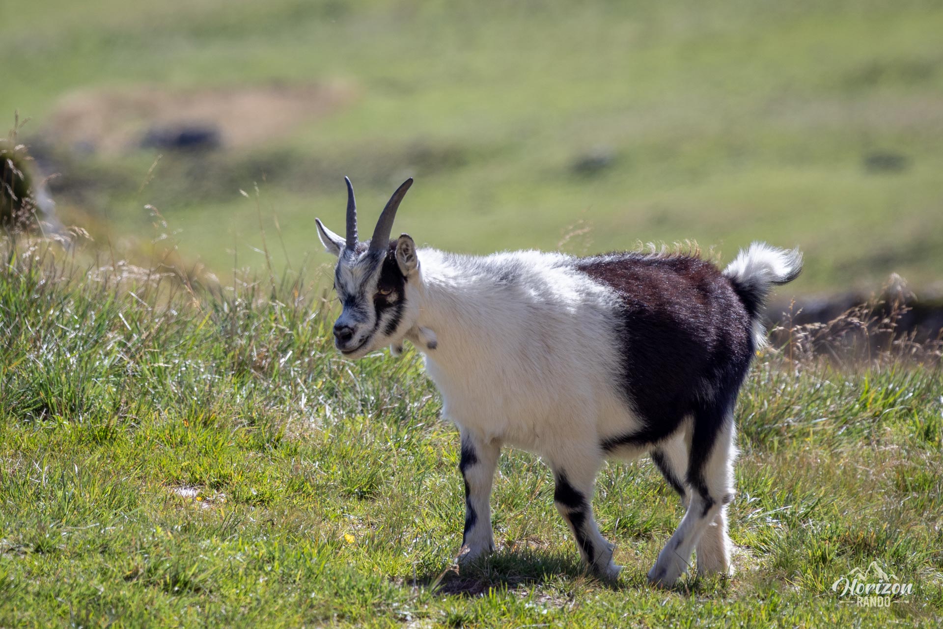
It's an excellent option for enjoying high-altitude scenery in complete tranquility without tackling demanding alpine terrain. There's also the added bonus of abundant wildlife, including horses, cows, goats, and especially marmots.
Map and elevation profile of the hike
Forca Rossa and Rifugio Fuciade Hike
Description and difficulties of the hike
The route follows wide tracks and alpine pasture paths with no tricky or vertiginous sections. Red-and-white trail markers are sparse, but directional signs are present at most intersections. Foot traffic is generally light, except for the final stretch between Rifugio Fuciade and the end, which is an easy section frequented by many families.
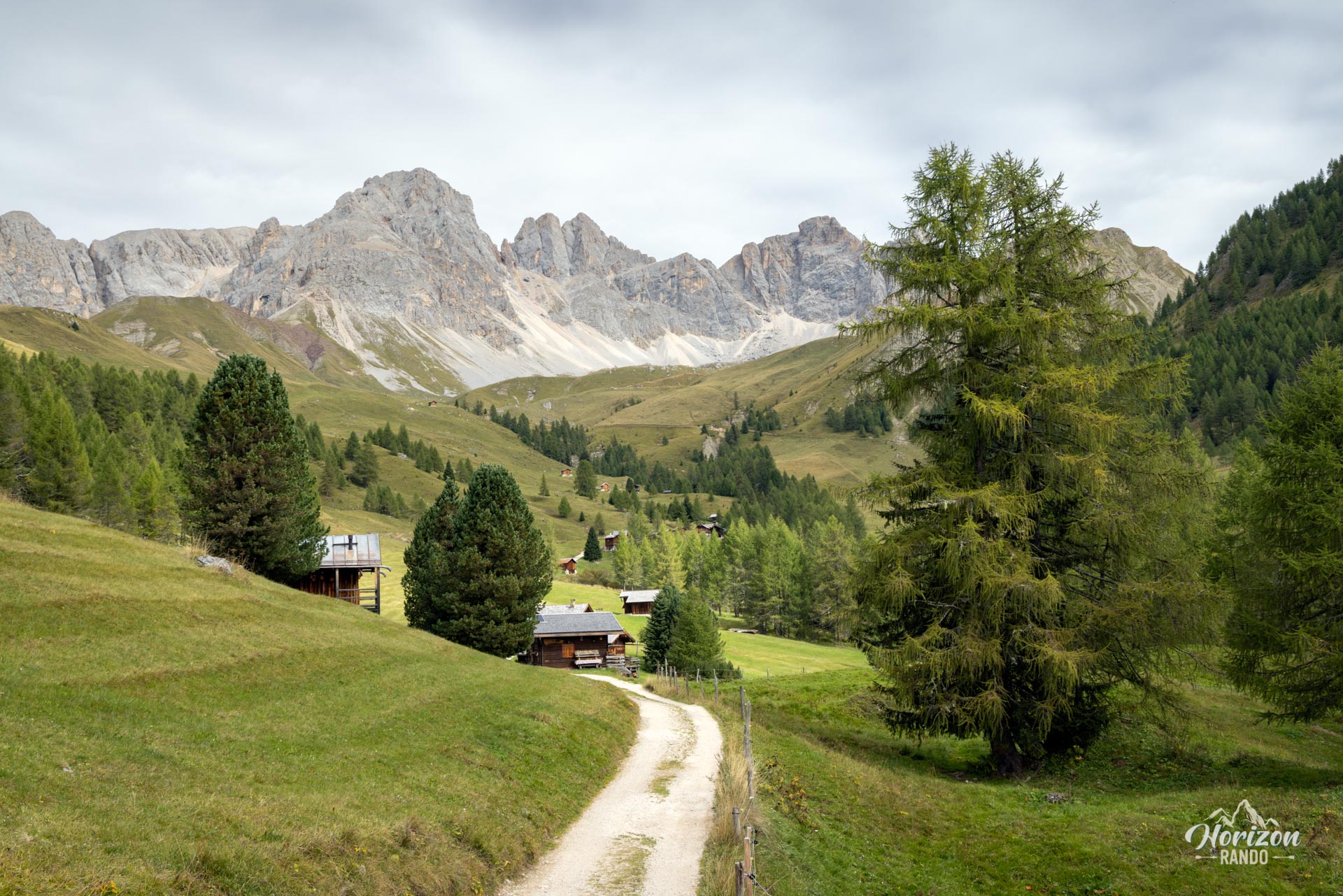
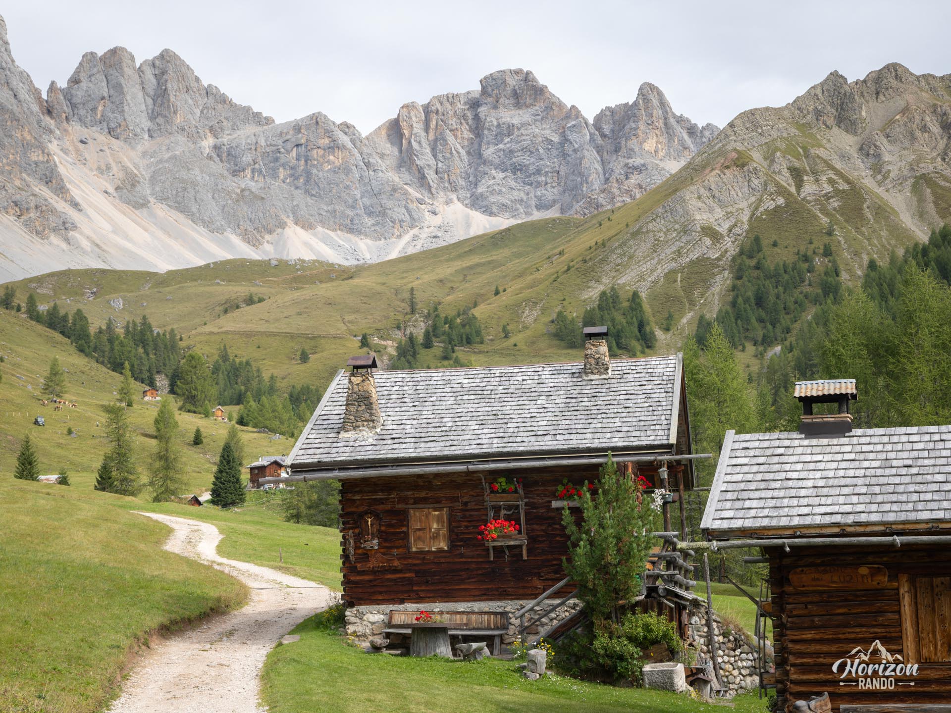
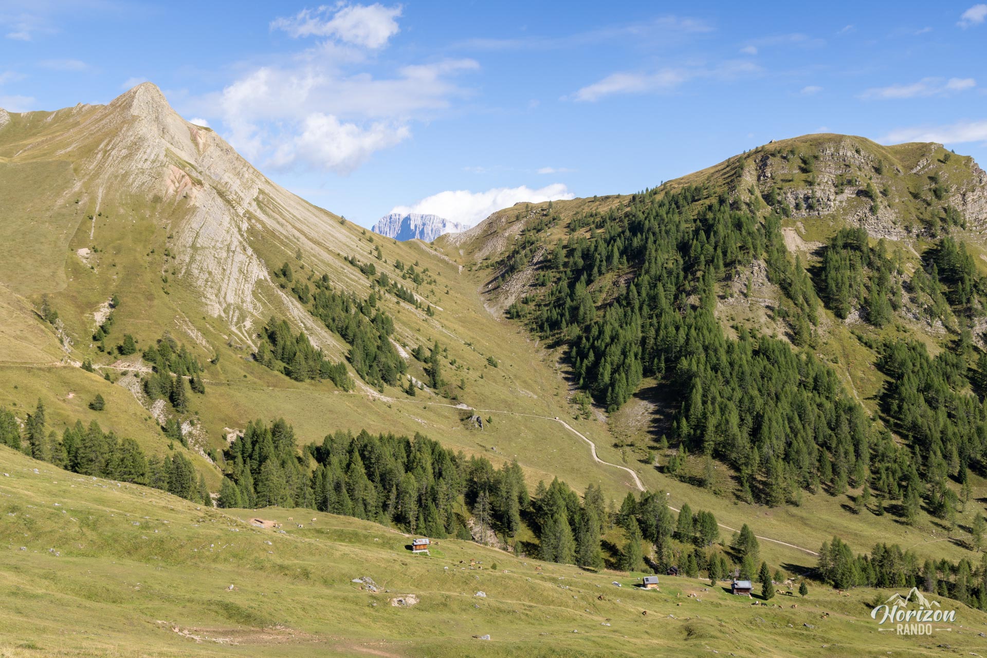
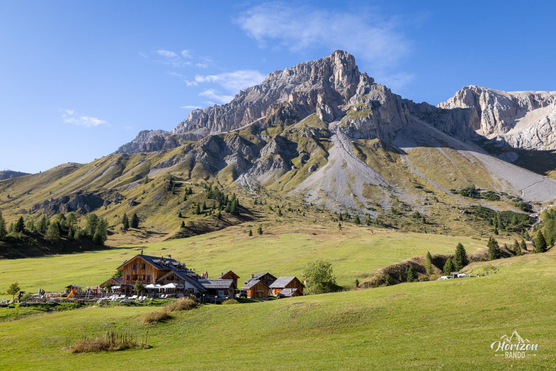
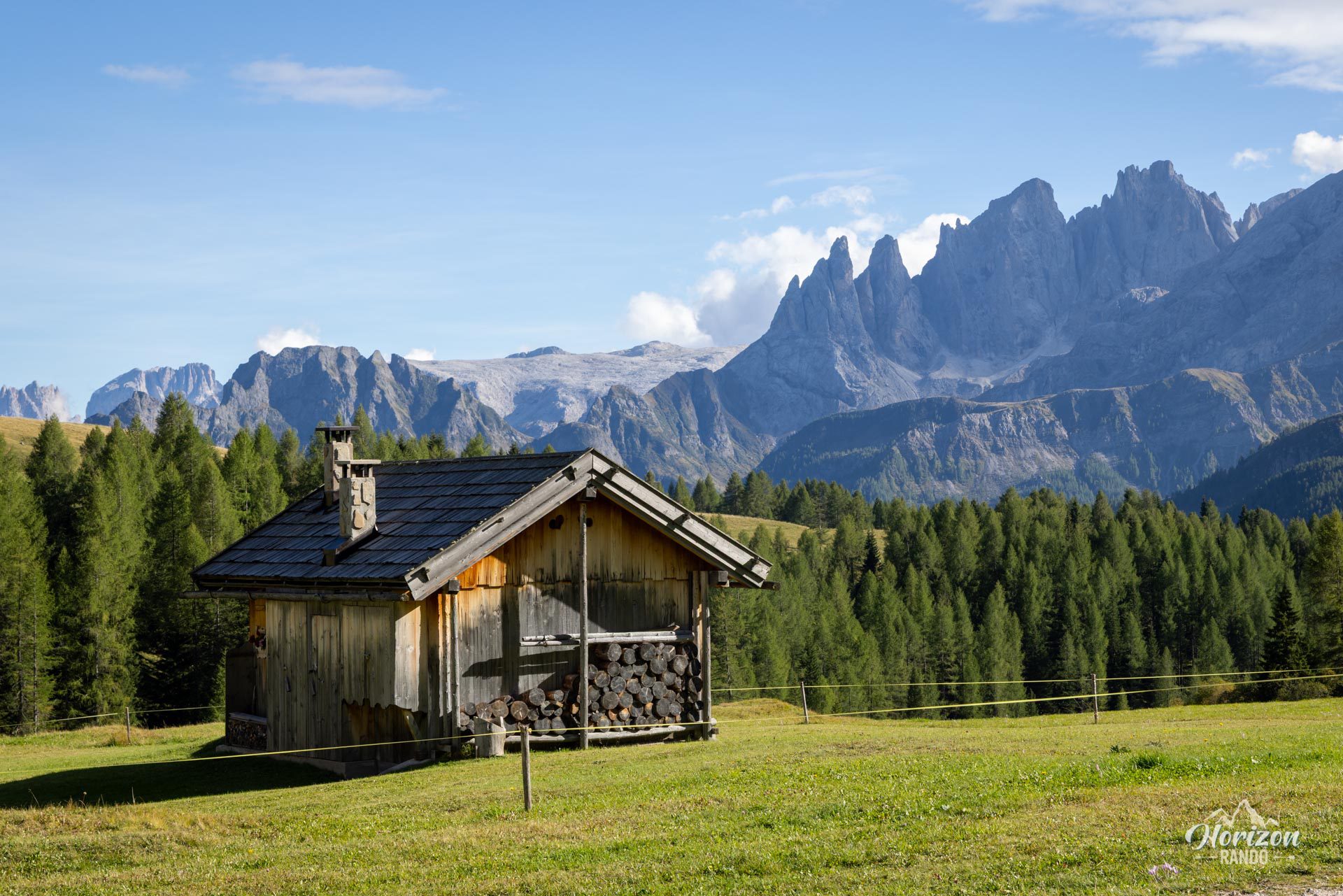
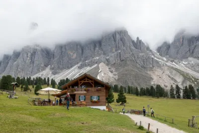
I recommend hiking counterclockwise to enjoy a gradual ascent and finish at the refuge. From the parking lot, follow the trail briefly through the forest before opening up to the vast Valfredda Valley, grazed by herds, where horses roam freely. You will pass a small chapel and the Casoni di Valfredda, a hamlet of wooden barns that once served as haylofts and stables. Most of these chalets have now been converted into summer homes while retaining their original appearance.
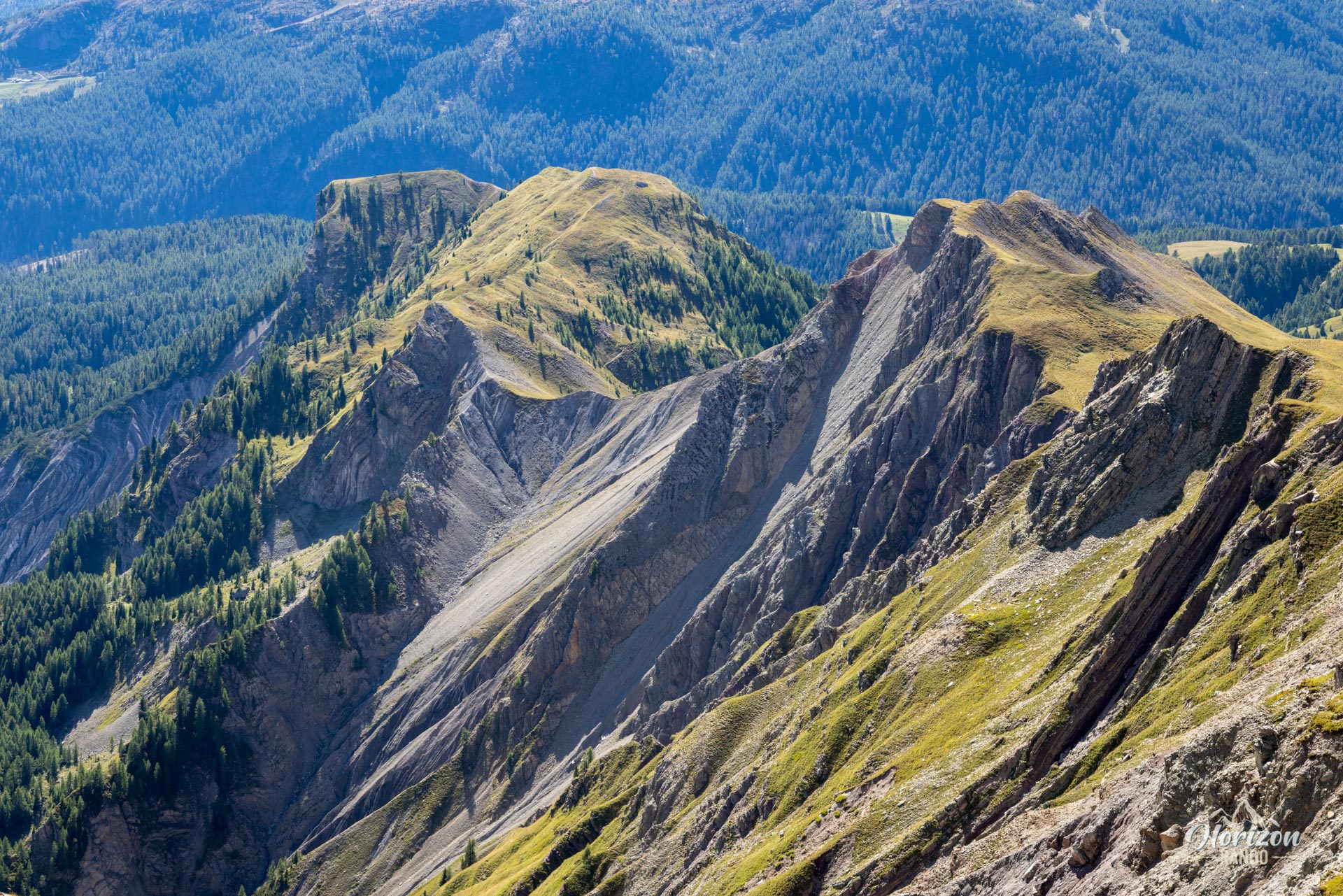
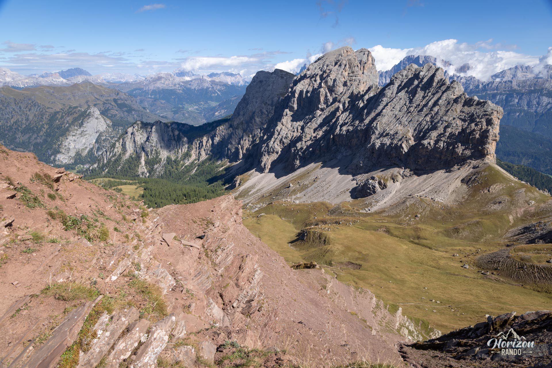
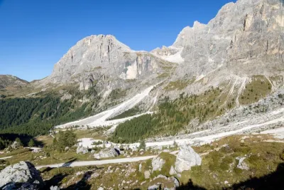
The slope steepens slightly over the last kilometer before the pass, where the ground becomes mineral and reddish. The iron-rich composition of the rock gives the area its name, Forca Rossa, which means Red Pass in Italian (2,490 m). The pass offers an expansive view, and a small peak next to it widens the panorama further.
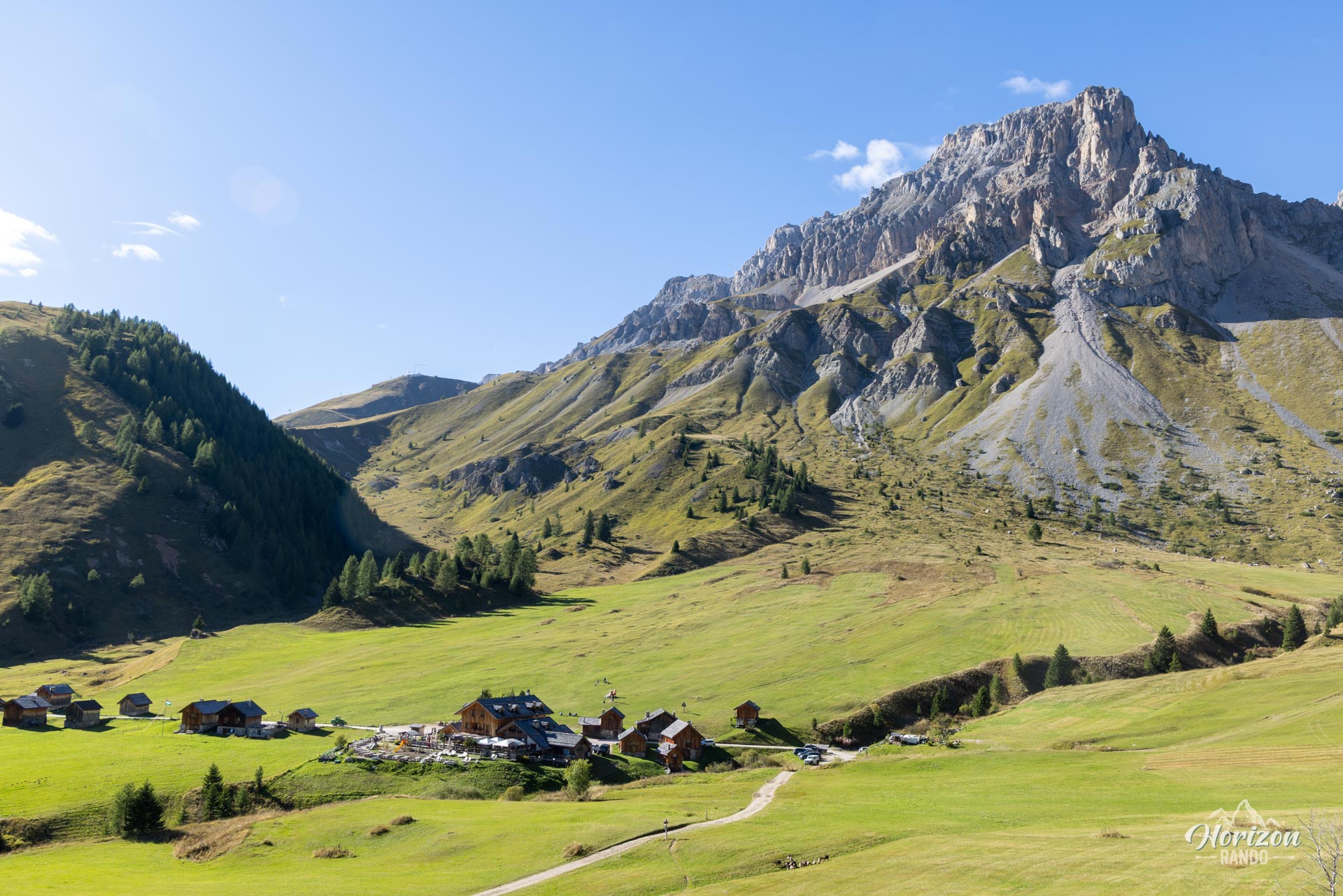
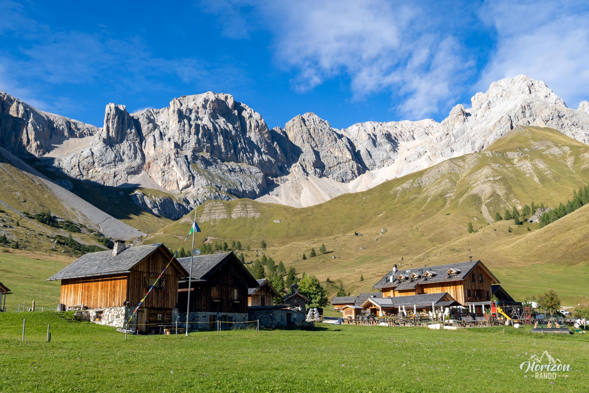
For the descent, briefly retrace your steps before turning right onto the Alta Via 2 trail, which crosses a wide valley. After a slightly steeper section, you'll reach the Rifugio Fuciade (1,982 m), an excellent excuse for a refreshing break in superb surroundings. A final kilometer on a little-used road will take you back to the parking lot.
What you'll love
- The Casoni di Valfredda, a hamlet of wooden chalets that tell the pastoral story of the valley.
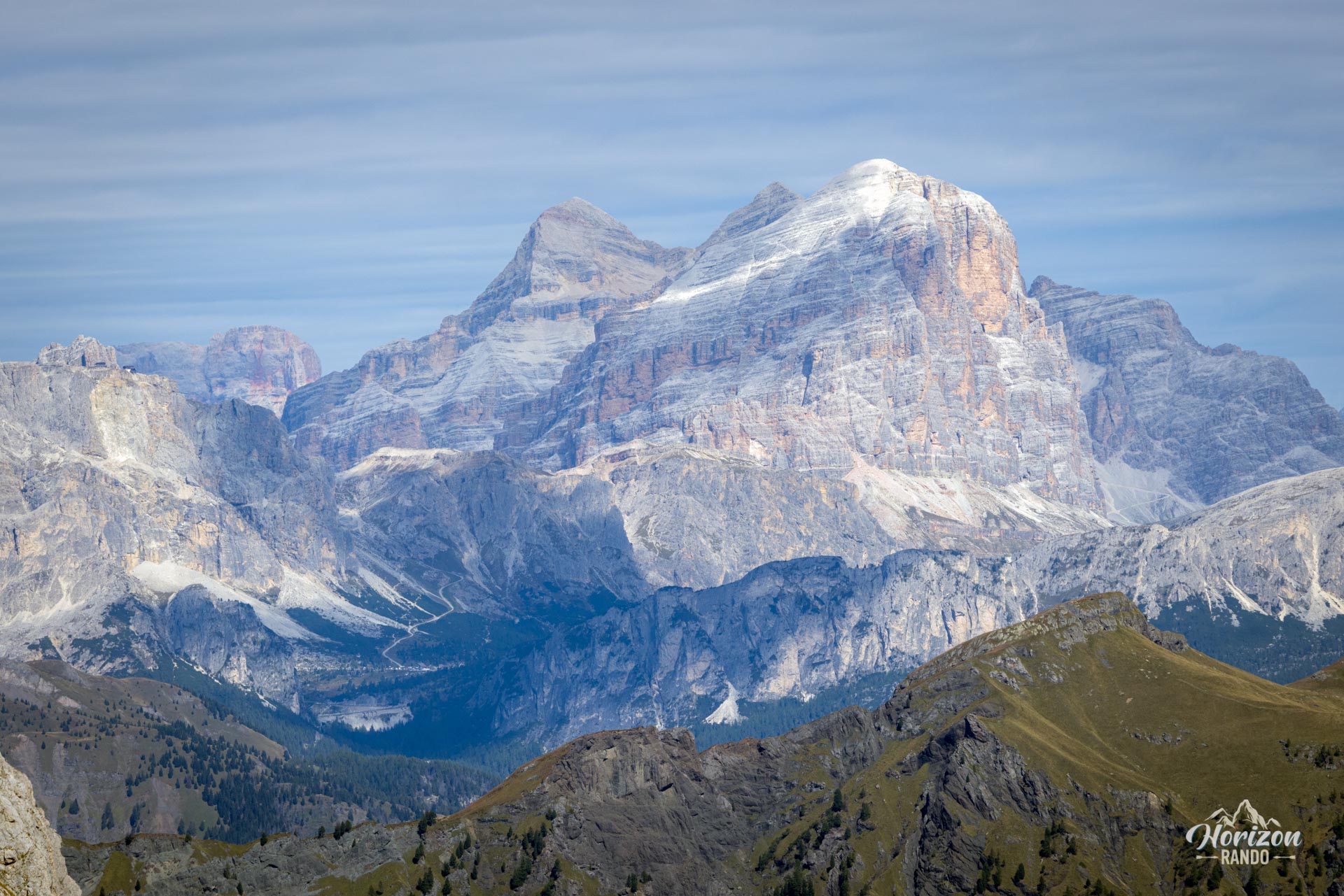
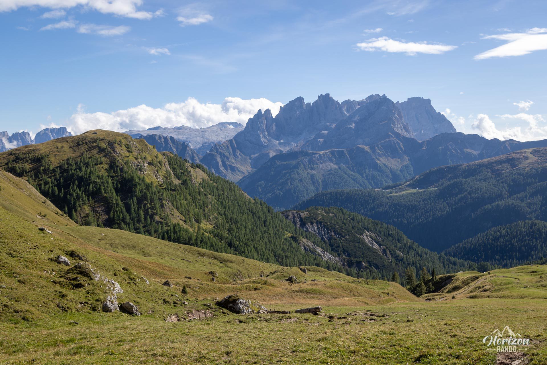
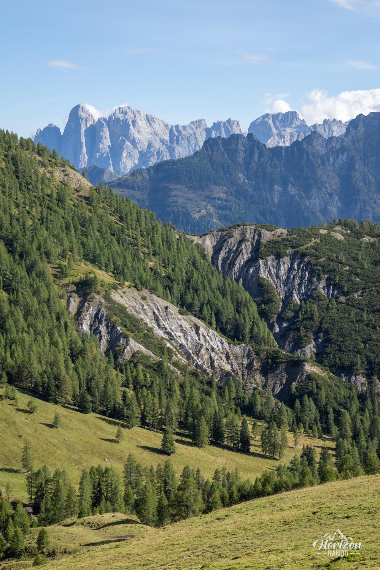
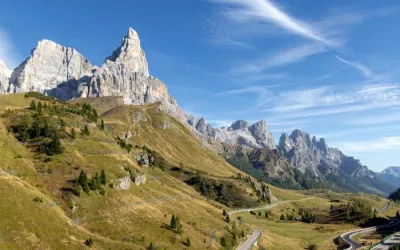
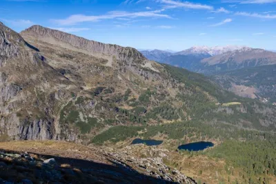
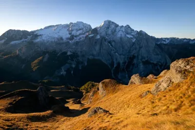
- The unobstructed view from Forca Rossa stretching from the San Pellegrino Valley to the Marmolada and Pale di San Martino massifs.
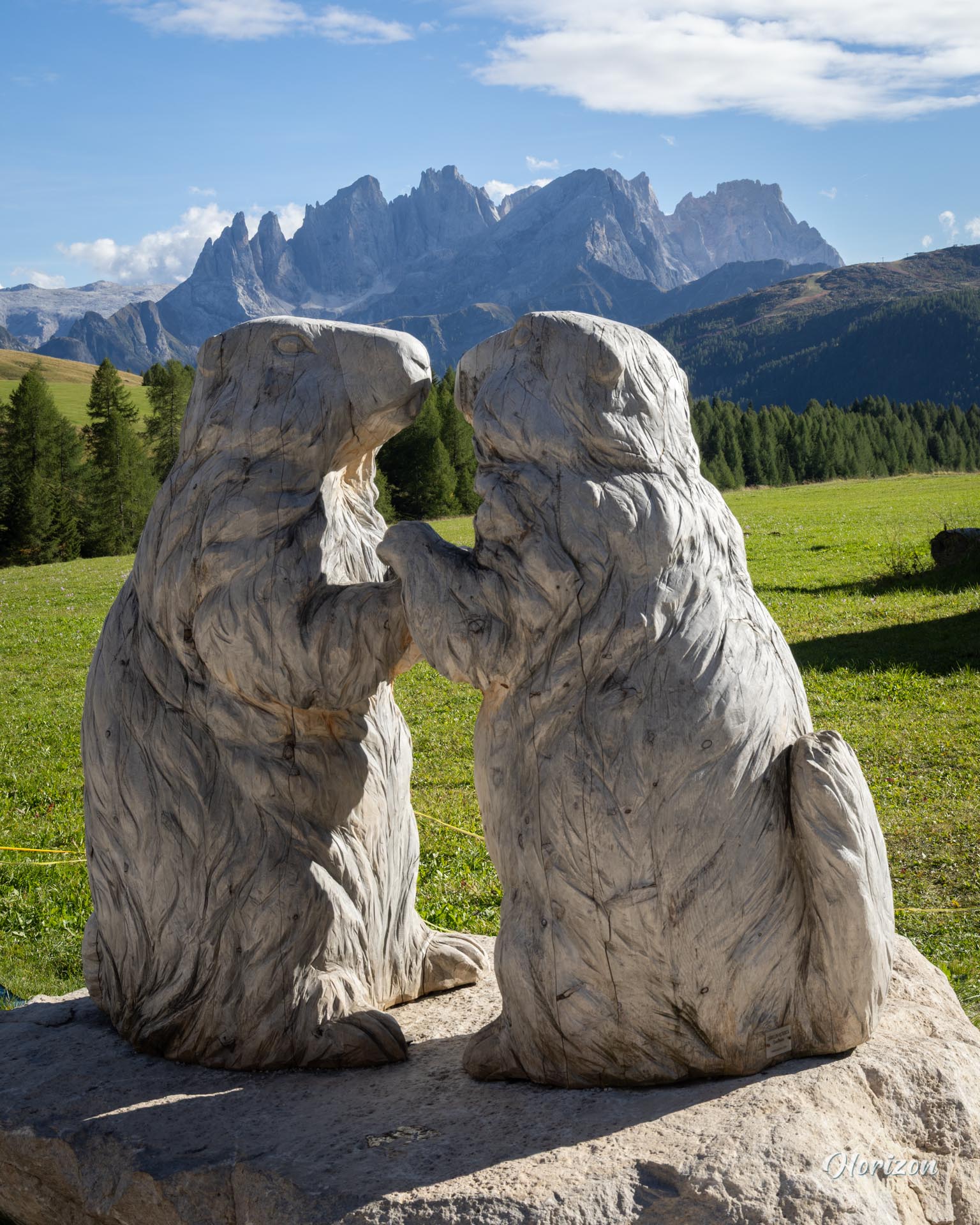
- The abundant wildlife, including marmots, free-roaming horses, cows, and goats, which you'll see along the entire route.
- The Rifugio Fuciade, an ideal spot to share a beer or a pastry at the end of the hike.
Practical information
Parking
Large free parking at the trailhead, past the Malga Boér junction, along the road leading to Rifugio Flora Alpina.
Direction of the route
It is best to hike counterclockwise for a gradual ascent and to end the loop at Rifugio Fuciade.
Photos
See all 21 photos →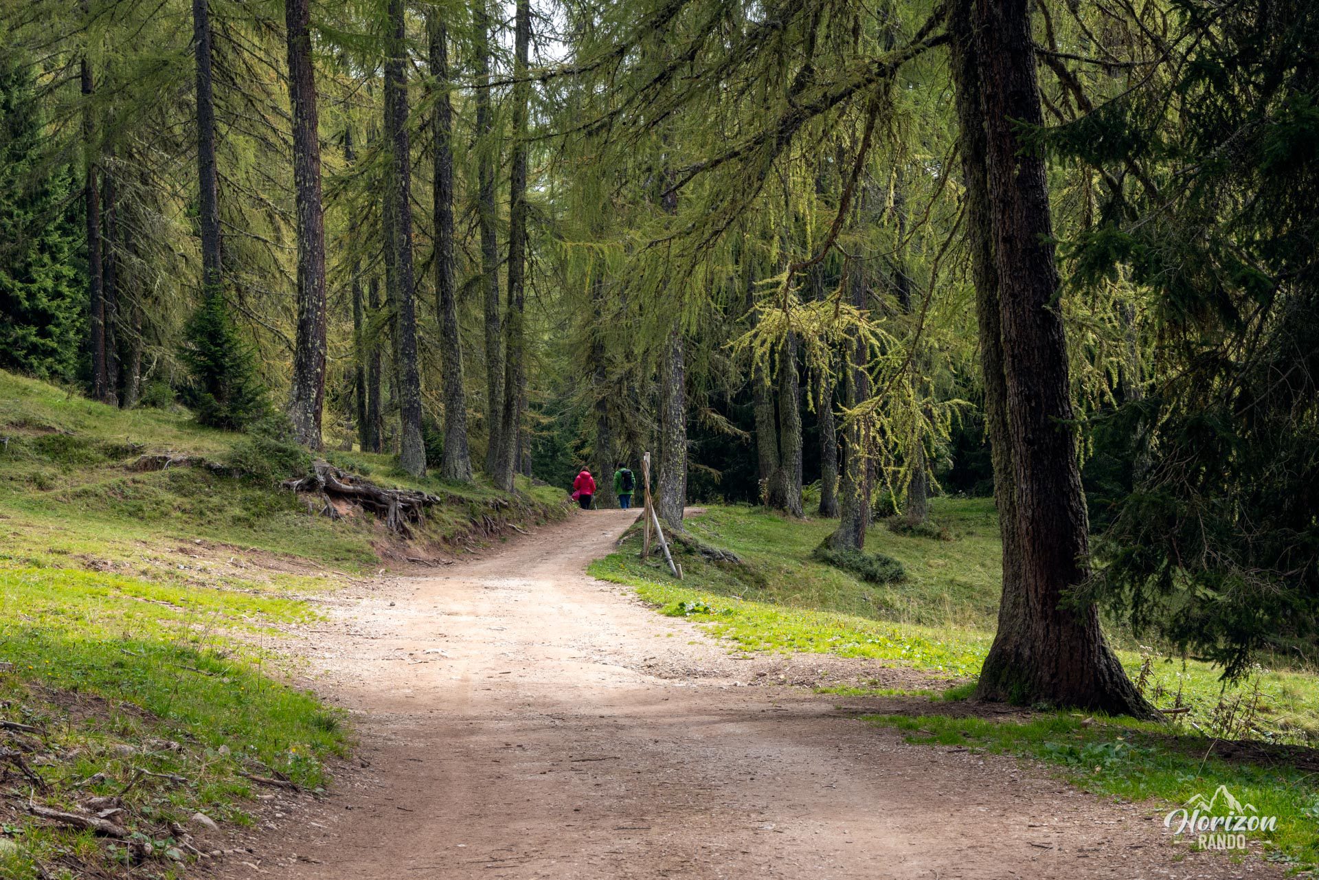
More hikes to do in the Dolomites
Nearby hikes
Printed from www.horizonrando.fr/en/hiking-dolomites/forca-rossa-and-rifugio-fuciade-hike/