





Dantercepies, Rifugio Puez and Vallunga Circuit
Key facts about the hike
- Difficulty
- Moderate Hikes are rated from very easy to very hard: my difficulty scale
- Duration
- 5h Estimated time, short breaks included (photos, water, snacks), picnic not included: how it is calculated
- Distance
- 15.7km
- Elevation gain
- 510m
- Elevation loss
- 1,150 m
- Type of route
- Loop
- Maximum altitude
- 2,546 m
- Vertiginous Five levels, depending on how exposed the route is: the levels in detail
- No
- Marked
- Yes
- Popularity
- Moderate
- Start point
- 46.55594, 11.76768
- Activity
- Hiking
Hike overview
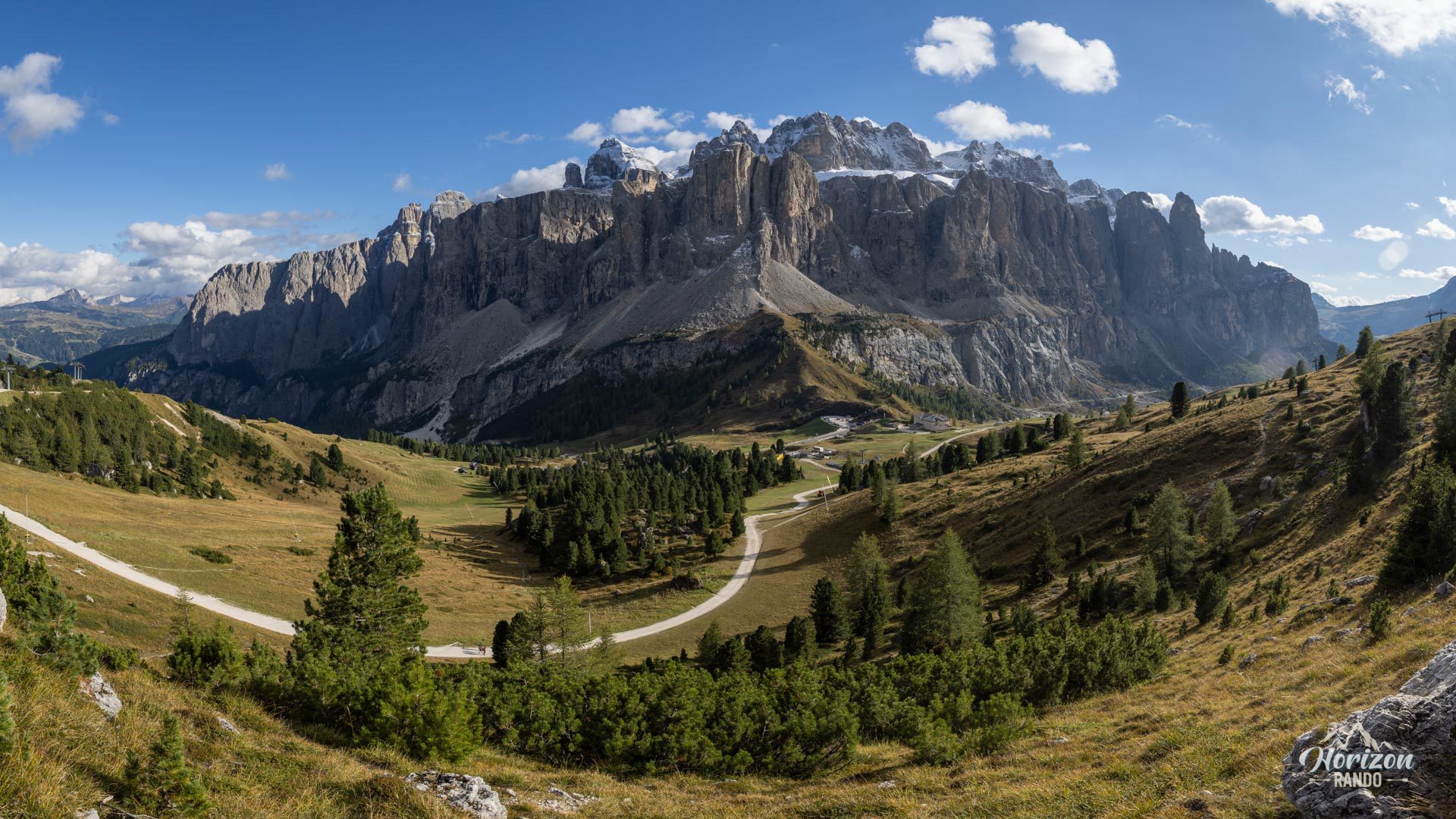
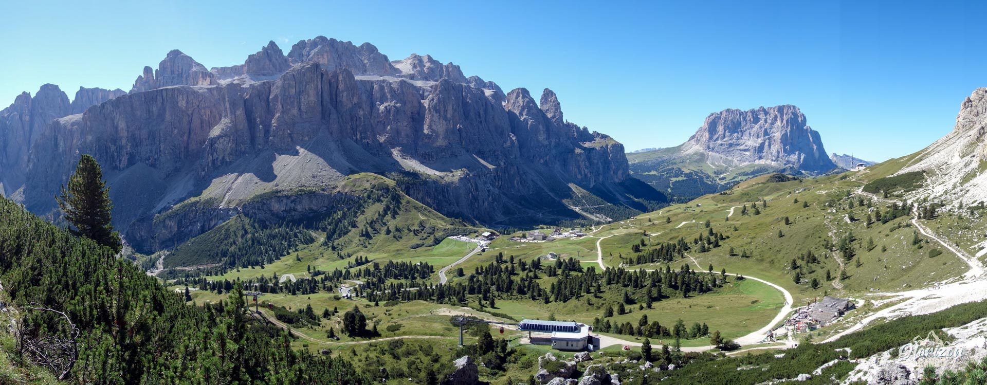
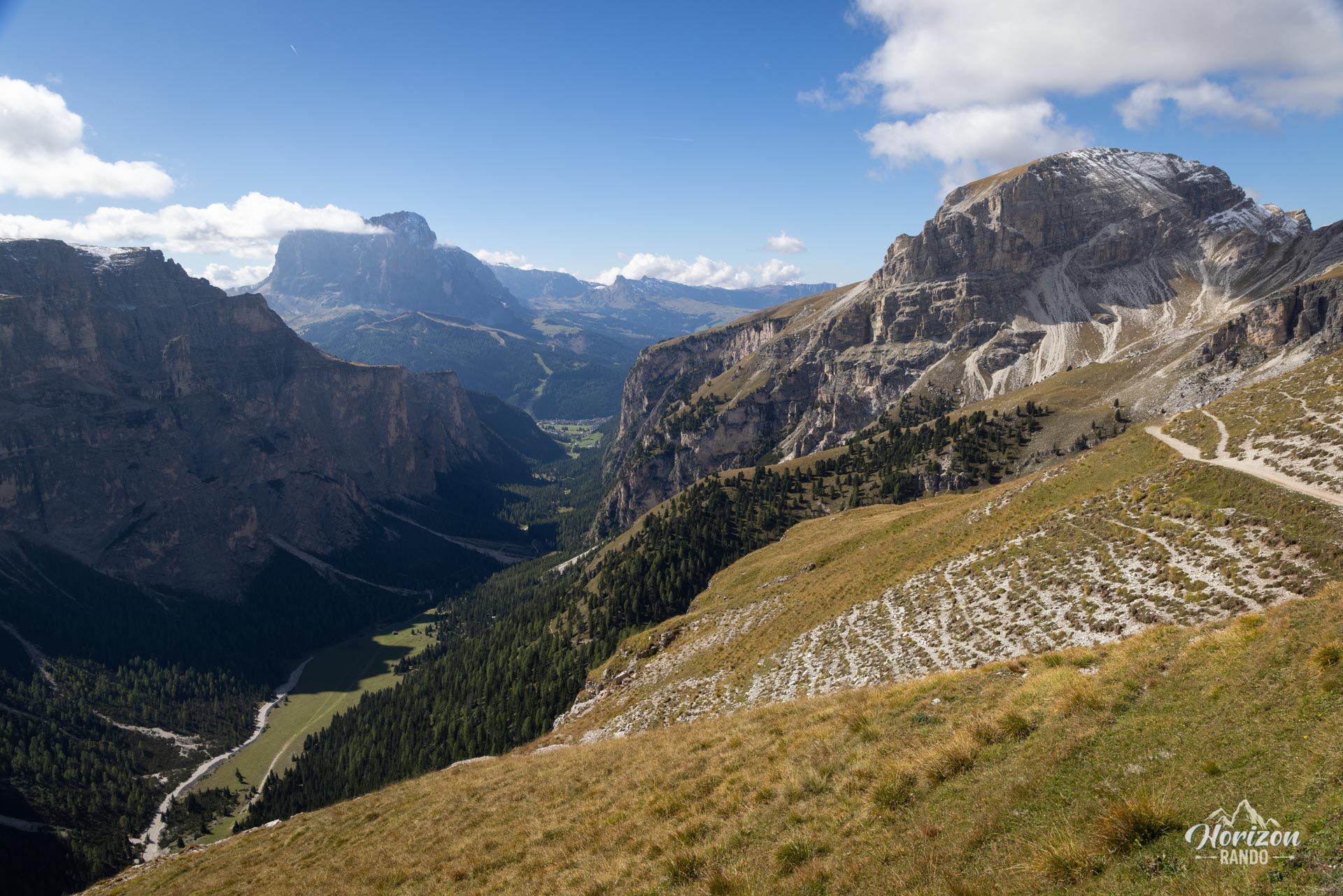
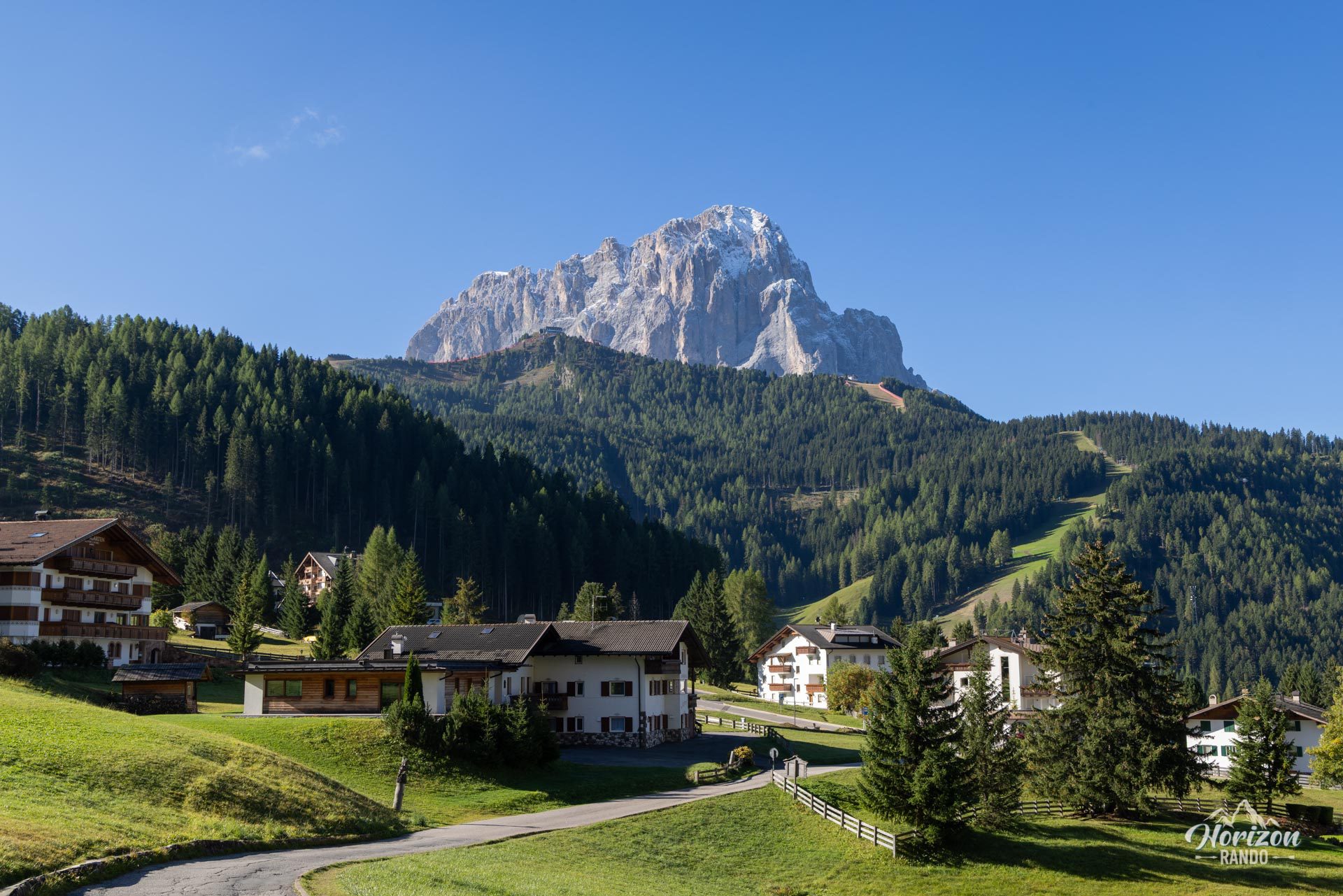
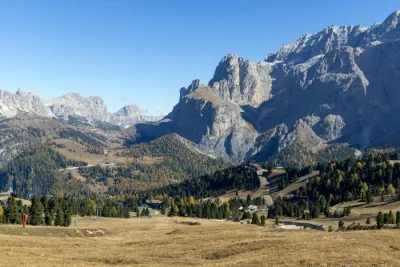
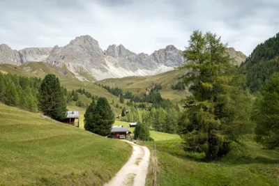
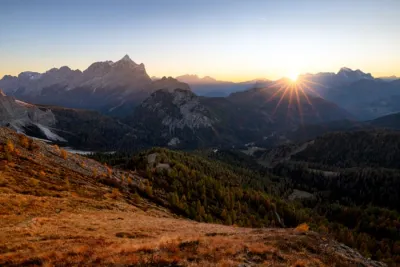
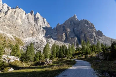
This long loop begins at the Dantercepies Pass (2,292 m), which is accessible by cable car from Selva di Val Gardena. It then continues to the Puez Hut (2,475 m), which is nestled in the heart of the Puez-Odle Nature Park. Finally, it descends through the long Vallunga Valley. The route winds through contrasting landscapes, including lush alpine meadows, karst pavement on the plateau, and a glacial valley, with the Sella and Sassolungo massifs providing a stunning backdrop.
Map and elevation profile of the hike
Dantercepies, Rifugio Puez and Vallunga Circuit
Description and difficulties of the hike
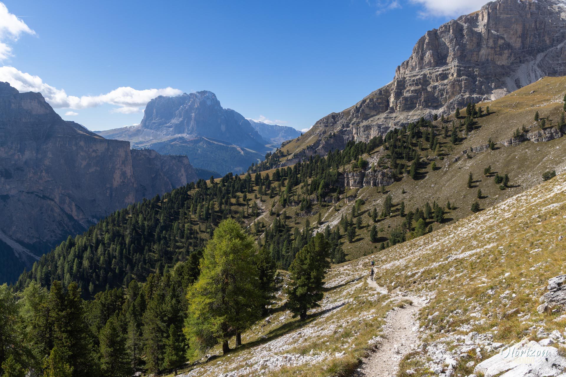
The hike is not technically difficult, but it is worth noting its length and the final descent, which is hard on the knees. The trail marking is excellent from start to finish with numbered trails and clear directions at every junction.
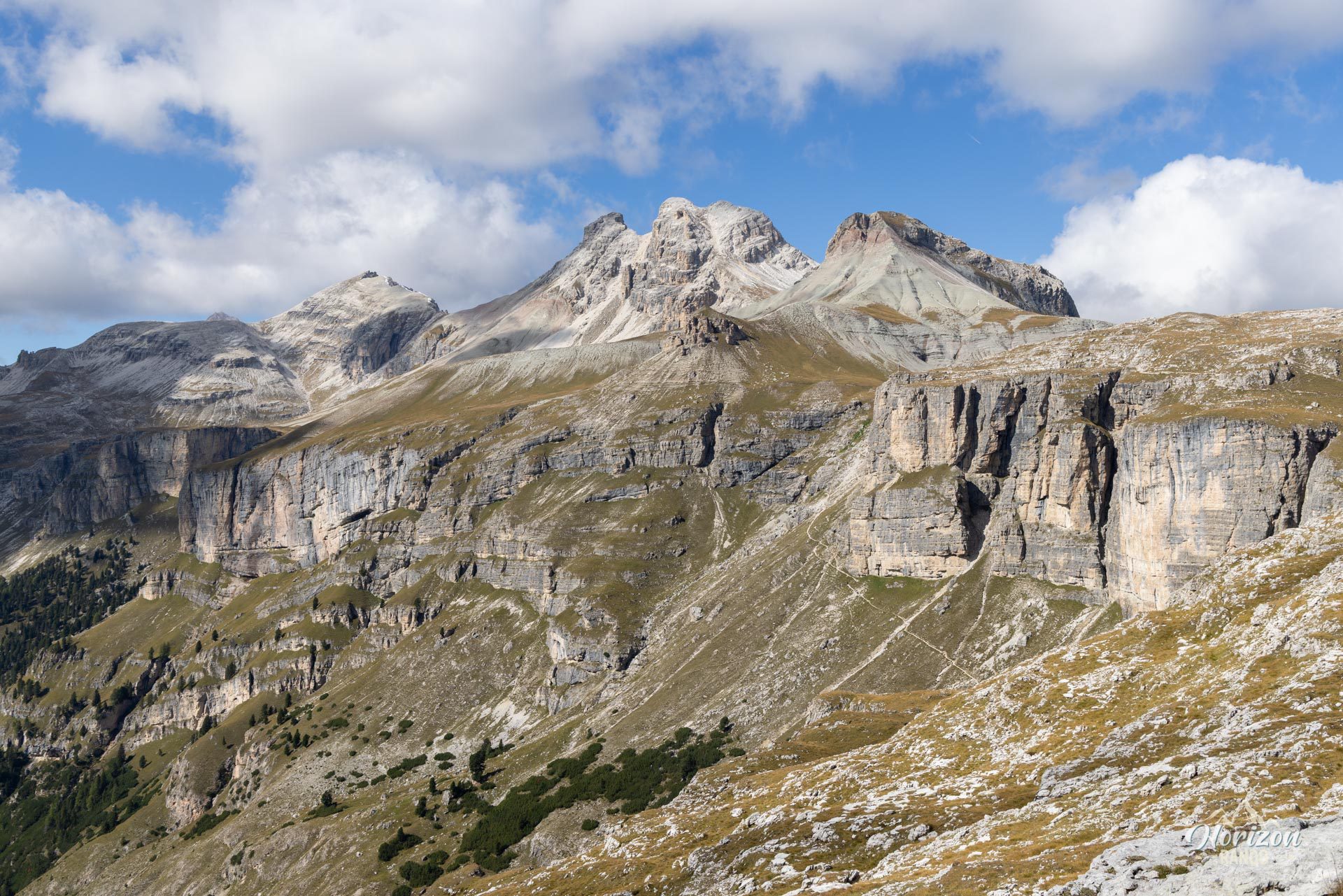
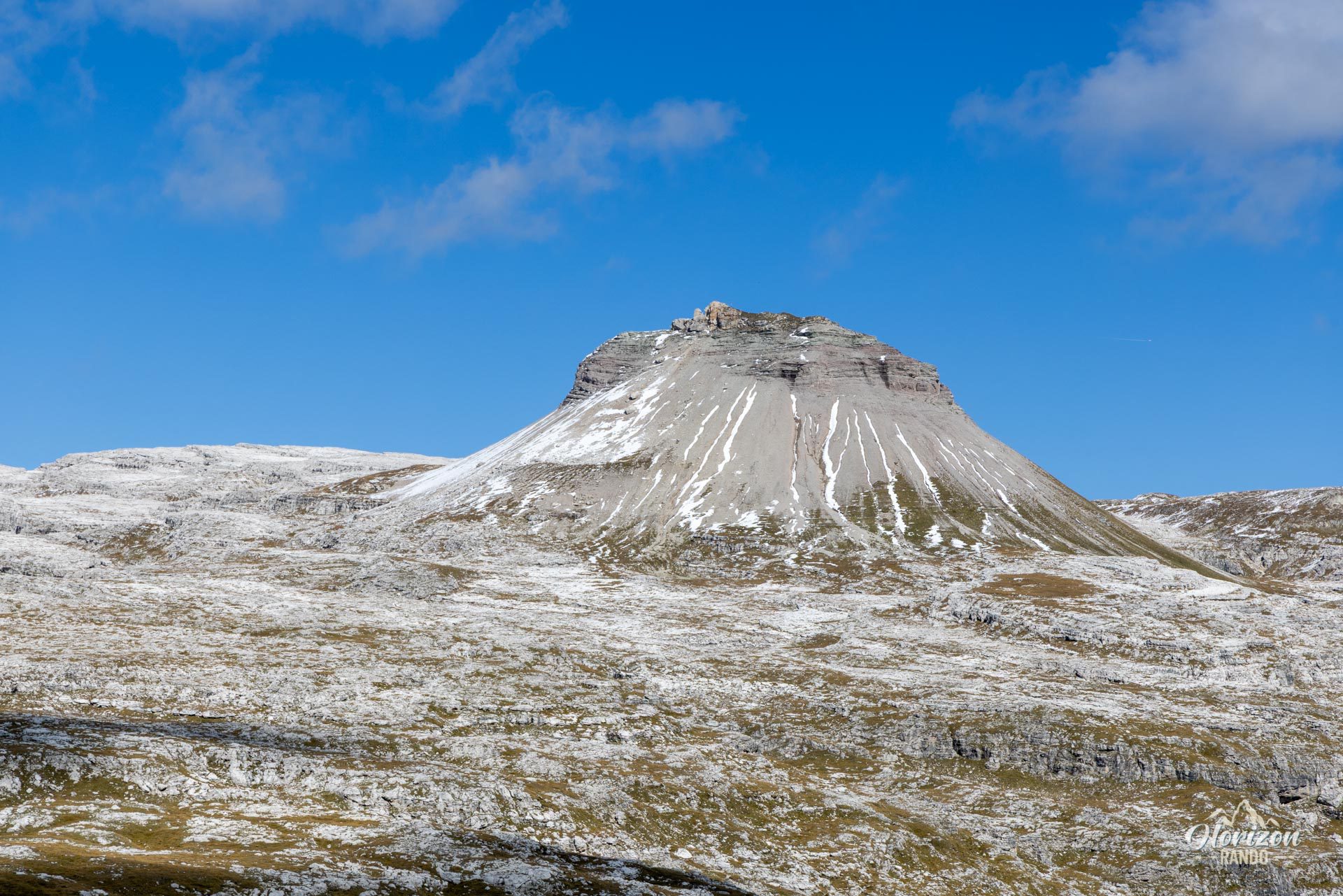
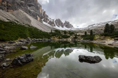
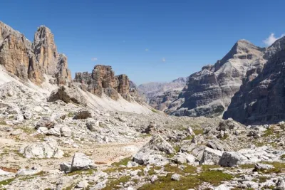
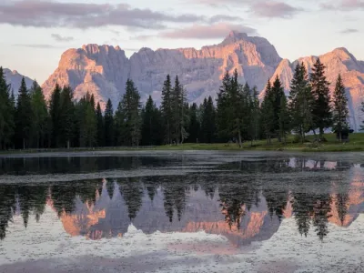
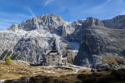
From the Dantercepies upper station, follow wide track 17A east toward Rifugio Jimmi (about 20 minutes on nearly flat terrain). Behind the refuge, switch to trail no. 2, which climbs in switchbacks toward Furcela de Cir (2,469 m). With 200 m of elevation gain, this is the main climb of the day. Then, you will emerge onto the Puez plateau with a succession of mineral landscapes, including Jëuf de Crespëina (2,528 m), the highest point of the hike. You will also see the small Lake Crespëina, which is slightly off the trail. A short detour is possible for a break. Finally, you will reach Furcela de Ciampëi.
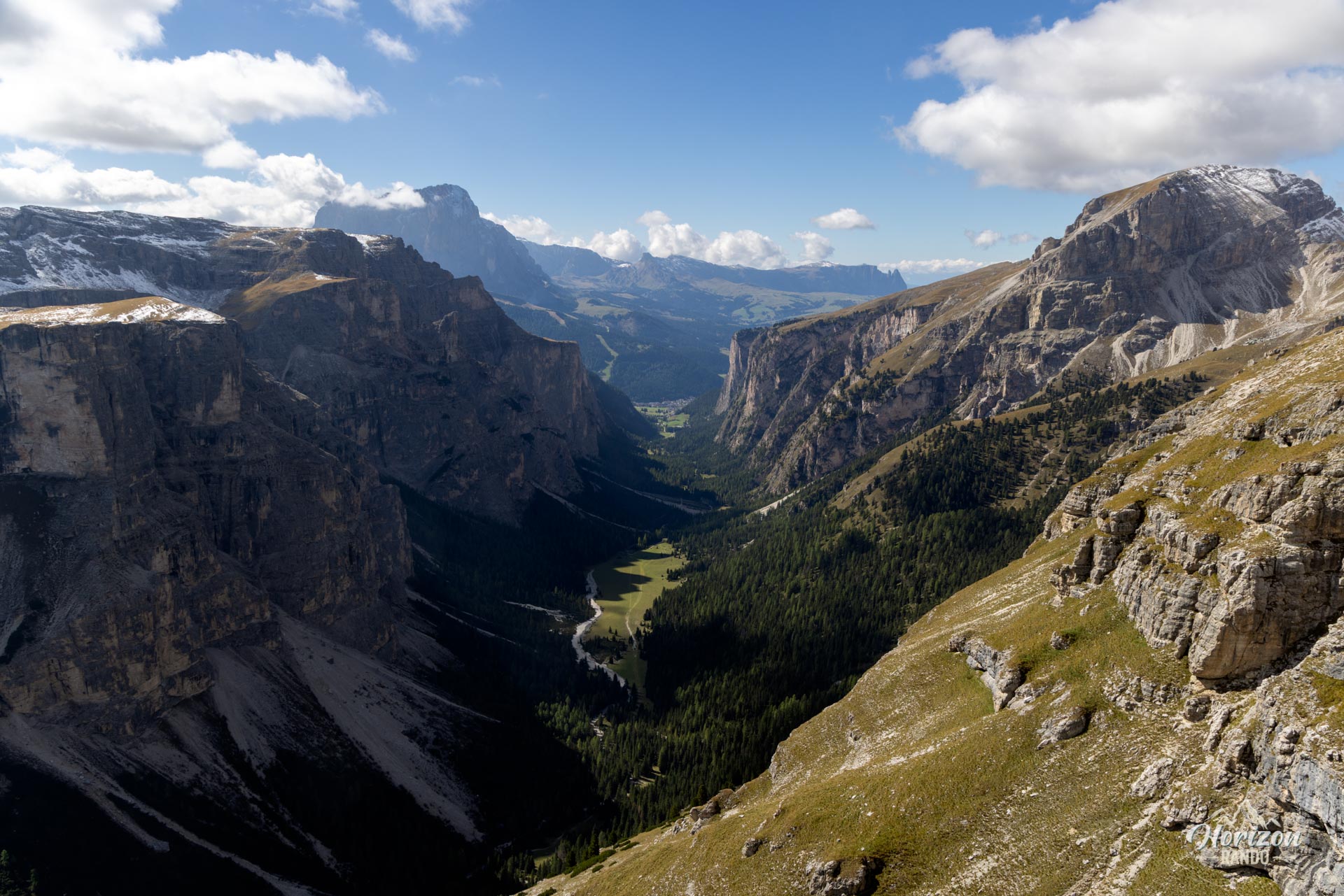
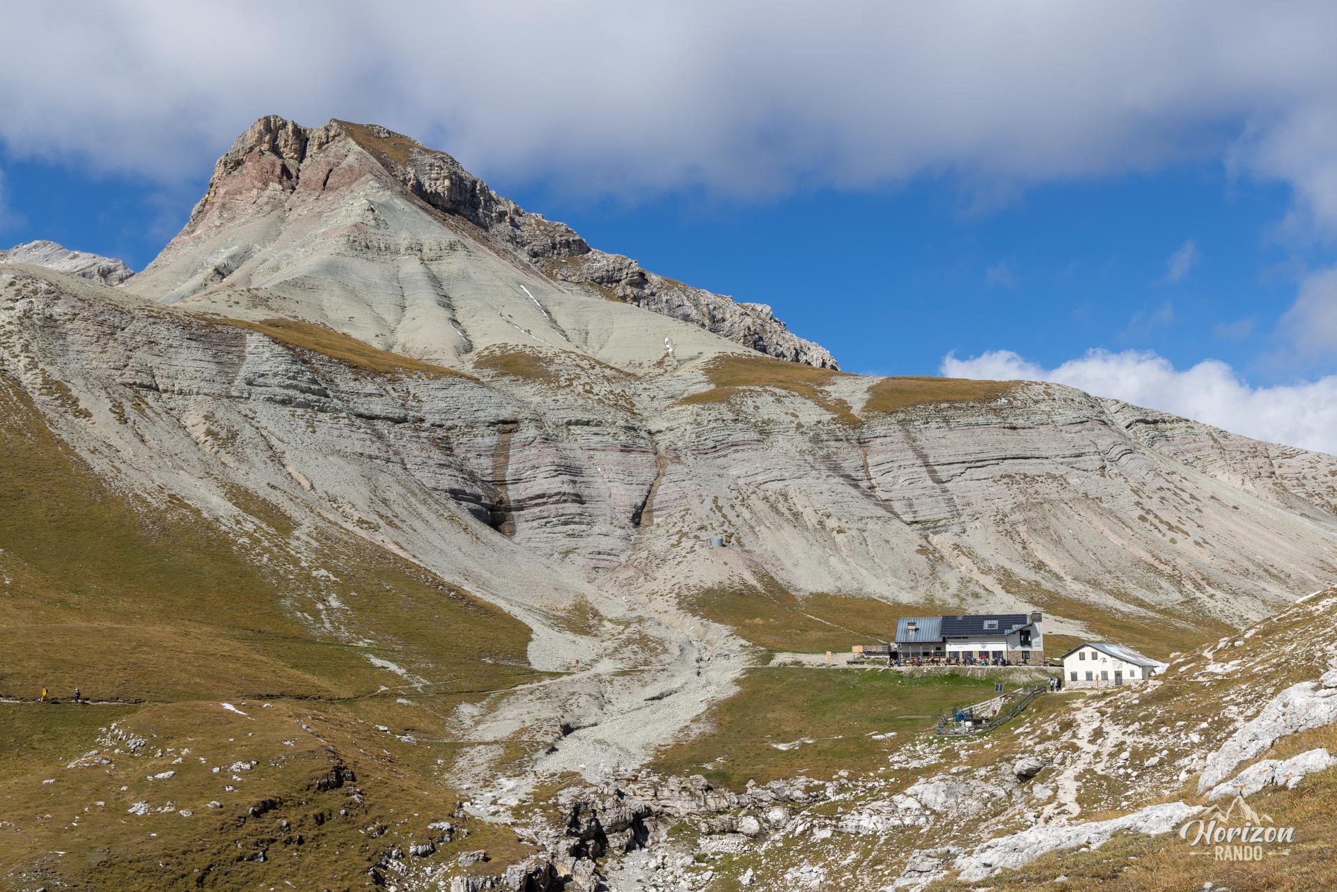
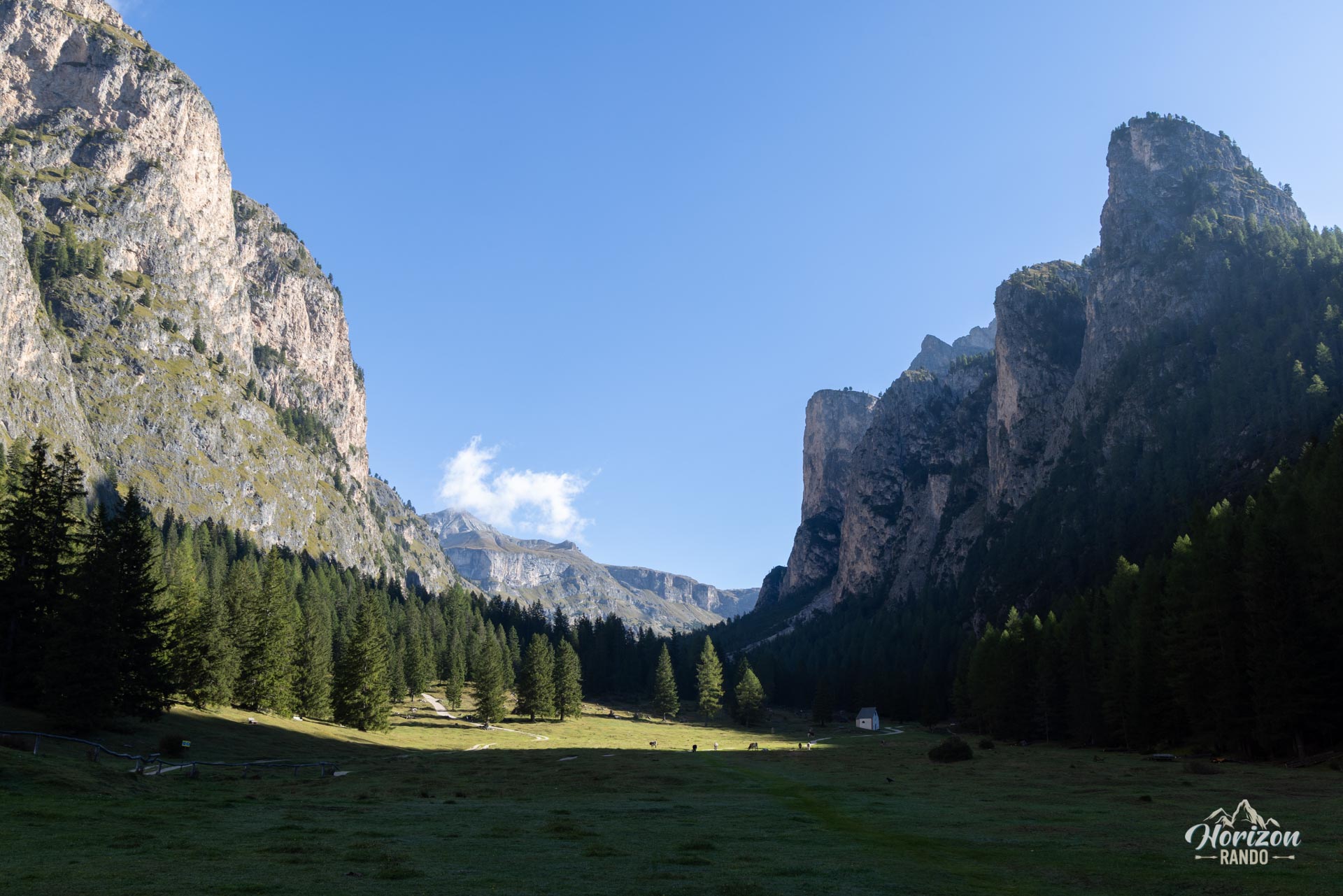
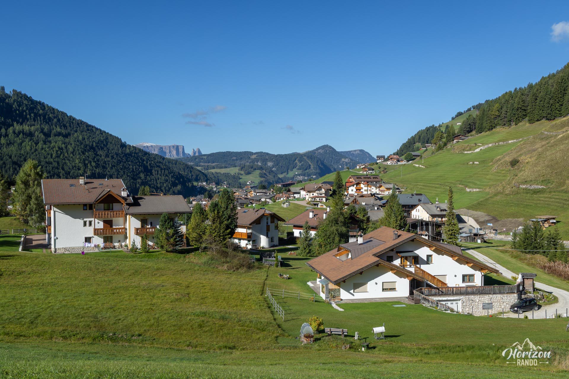
Trail No. 2 leads to Rifugio Puez and continues for about 20 minutes to the junction with Trail No. 16. Trail No. 16 descends into the Vallunga Valley with 600 m of elevation loss concentrated over 2.5 km. This descent is sometimes steep and rocky. At the bottom of the valley, Trail No. 14 gently descends through flat meadows and follows the Rio di Vallunga. It crosses a public park and the small Cappella di San Silvestro before reaching Selva di Val Gardena. This final section is easy but fairly monotonous. Allow a little over an hour for the walk to the bottom of the valley.
What you'll love
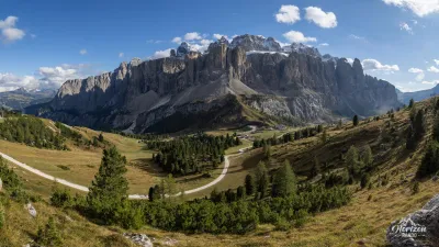
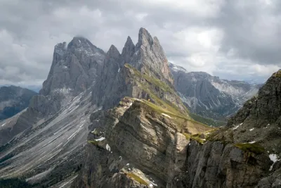
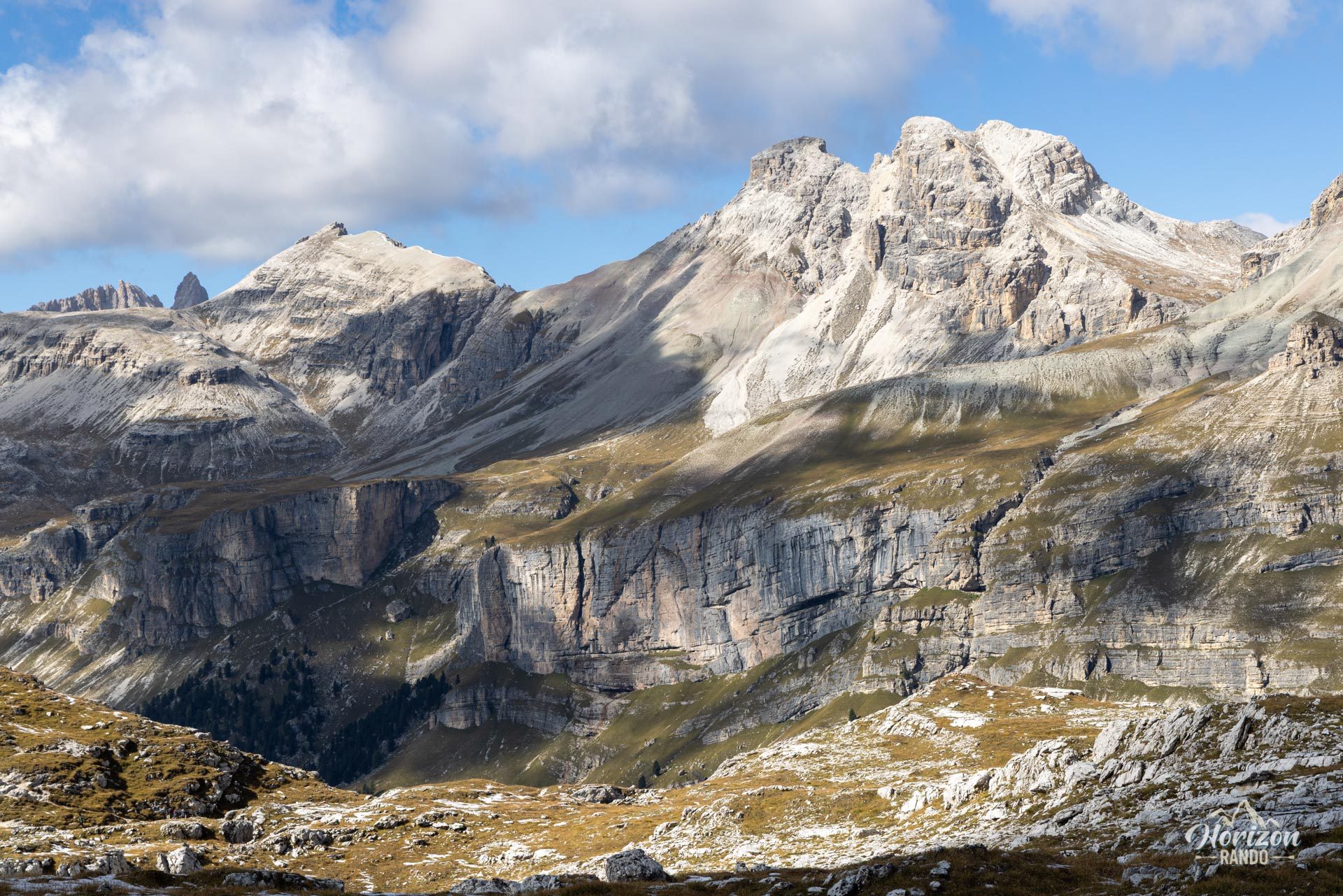
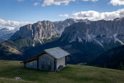
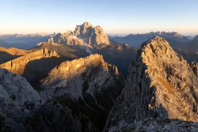
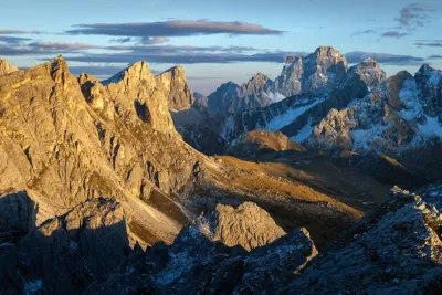
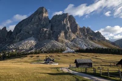
- The exceptional panoramic views of neighboring mountain ranges, including unobstructed views of the Sella, Sassolungo, and Odle massifs.
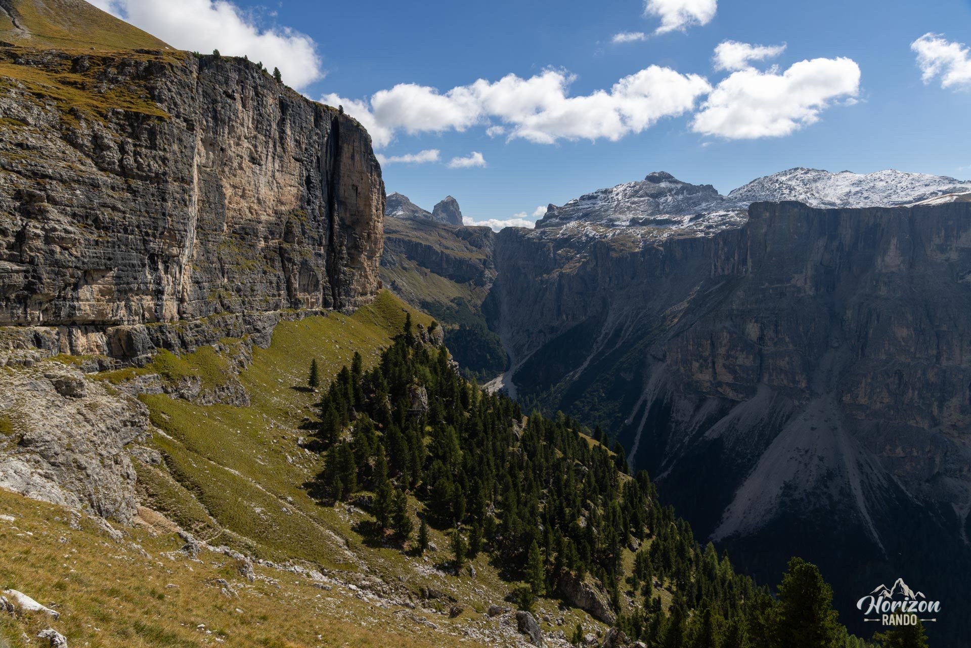
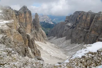
- The varied landscapes, including lush alpine meadows, rocky plateaus, high-altitude lakes, and a glacial valley.
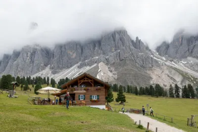
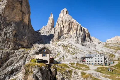
- Rifugio Puez, located in the heart of the plateau and an ideal place to take a break during your hike.
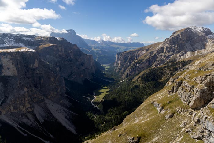
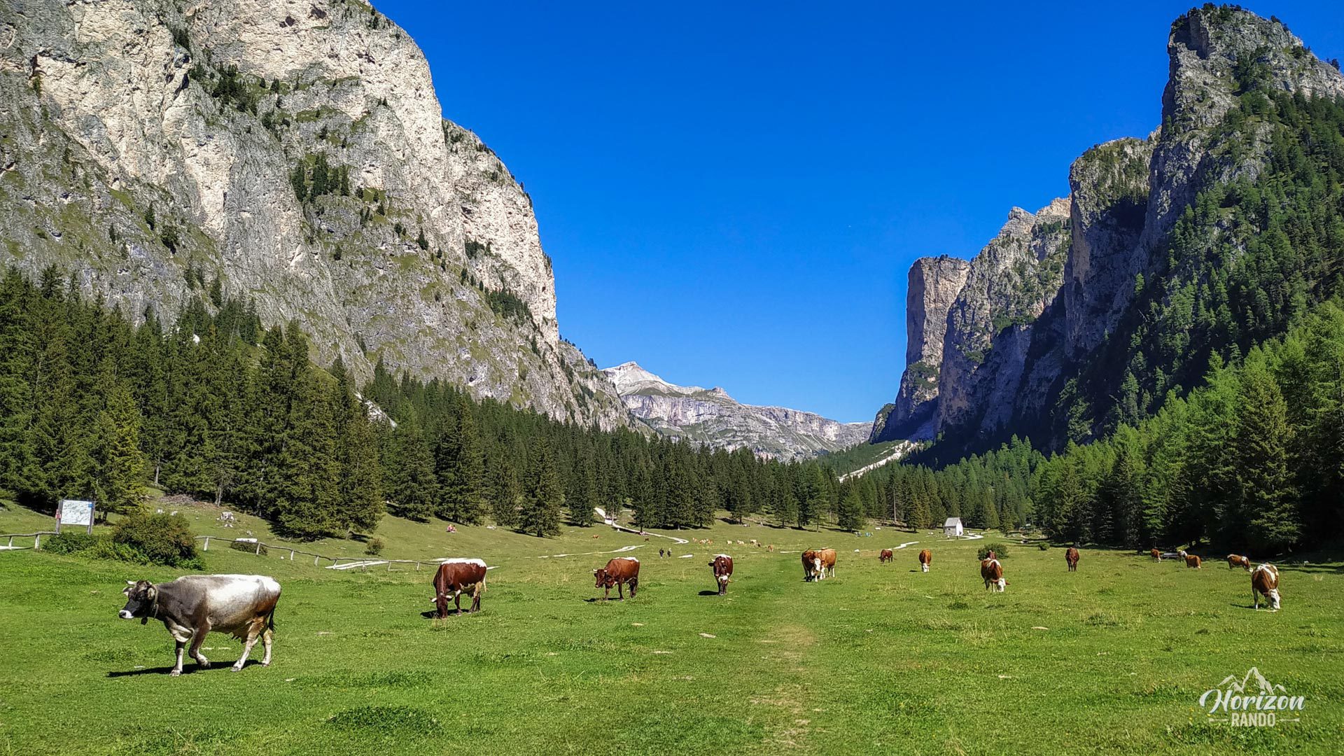
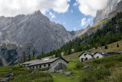
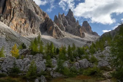
- The Vallunga, a wide glacial valley flanked by high limestone cliffs where herds graze in the summer.
Practical information
Dantercepies cable car
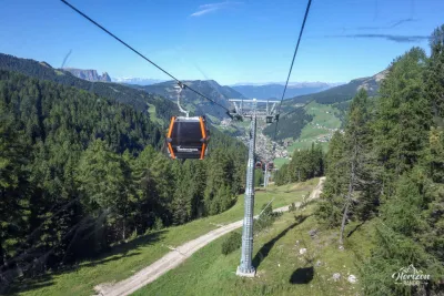
Open from mid-June to early October. The indicative fare is €19 one-way in 2025. Covered and open-air parking lots are available near the lift. Be sure to check the operating hours on the official Val Gardena website.
Option without the cable car
It is possible to complete the loop without taking the cable car, but you will have to climb an additional 650 meters. In this case, I recommend hiking the loop clockwise — ascending via Vallunga and descending to Selva via the Dantercepies ski slopes — to enjoy better lighting on the Sella and Sassolungo massifs at the end of the day and to save the least spectacular section for the descent rather than the ascent. Download the GPX track for the route.
Photos
See all 15 photos →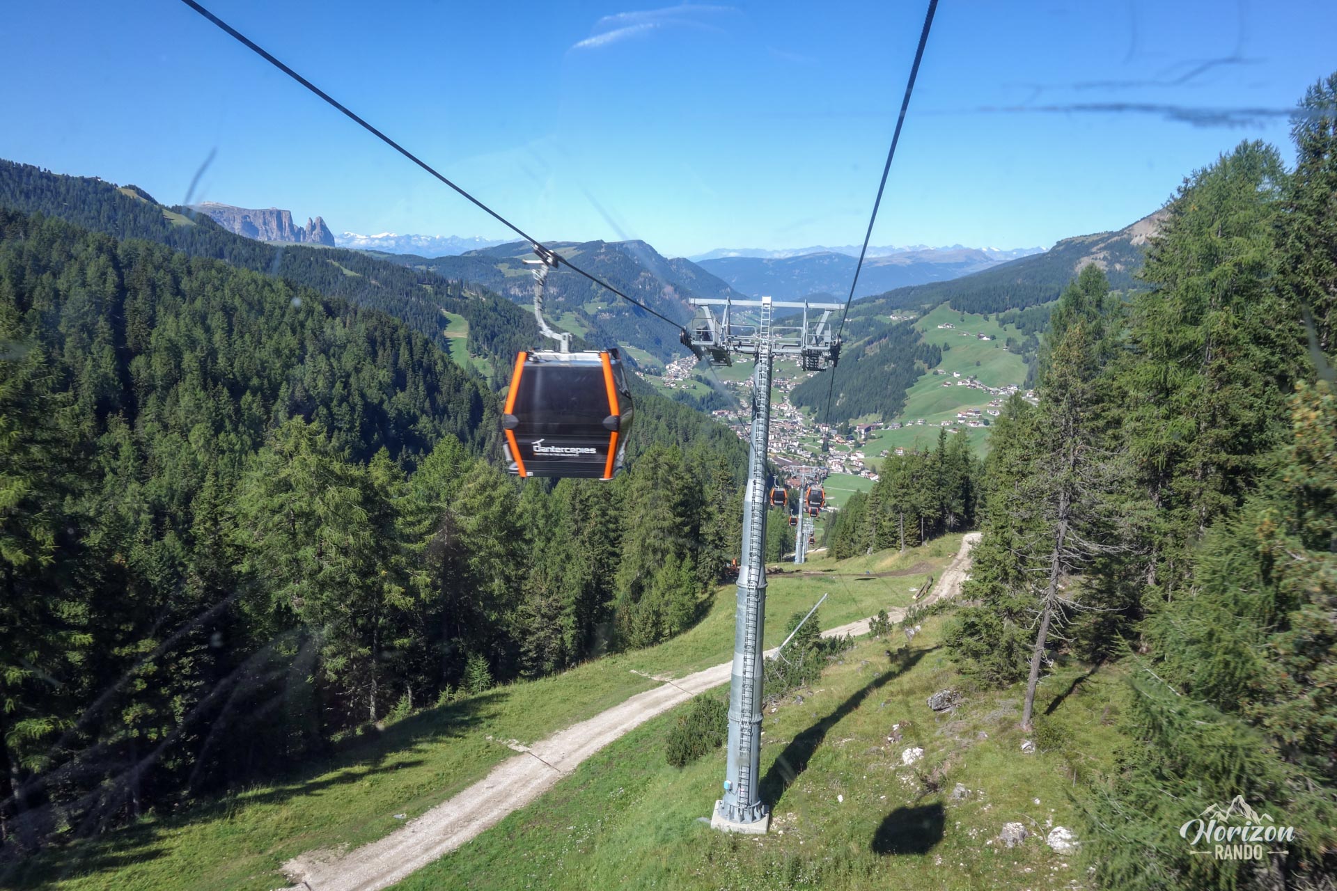
More hikes to do in the Dolomites
Nearby hikes
Printed from www.horizonrando.fr/en/hiking-dolomites/dantercepies-rifugio-puez-and-vallunga-loop-hike/