





Adolf Munkel Trail
Key facts about the hike
- Difficulty
- Easy Hikes are rated from very easy to very hard: my difficulty scale
- Duration
- 3h15 Estimated time, short breaks included (photos, water, snacks), picnic not included: how it is calculated
- Distance
- 9km
- Elevation gain
- 420m
- Type of route
- Loop
- Maximum altitude
- 2,053 m
- Vertiginous Five levels, depending on how exposed the route is: the levels in detail
- No
- Marked
- Yes
- Popularity
- High
- Start point
- 46.63486, 11.76410
- Activity
- Hiking
Hike overview
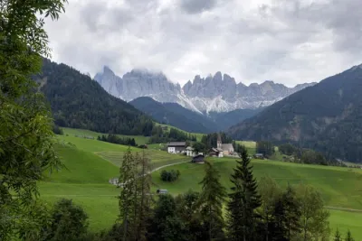
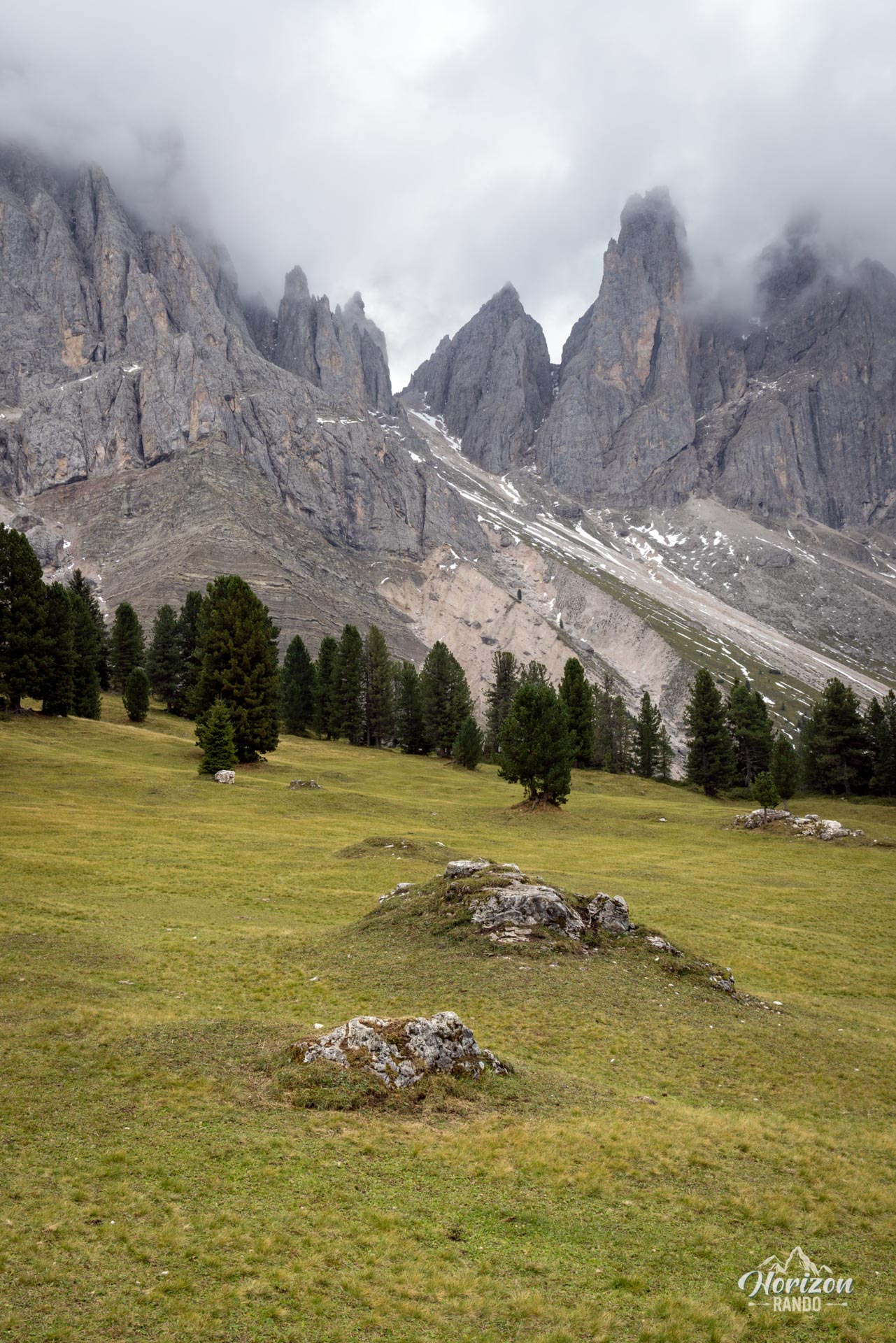
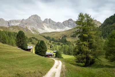
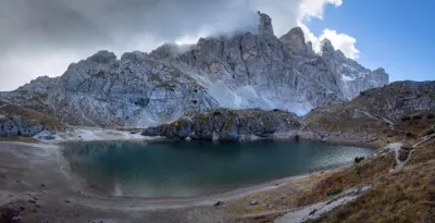
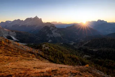
The Adolf Munkel Trail (Adolf-Munkel-Weg/Sentiero Adolf Munkel) runs along the northern side of the iconic Odle/Geisler massif, in the northern part of the Dolomites. This easy loop takes you through pine forests and alpine meadows and past three typical South Tyrolean mountain huts nestled at the foot of spectacular peaks.
Established in 1905 by the German Alpine Club and named after its president at the time, the trail is a classic of the Puez-Odle Nature Park, though it sees very heavy use in the summer.
Map and elevation profile of the hike
Adolf Munkel Trail
Description and difficulties of the hike
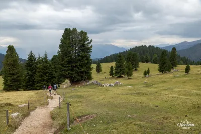
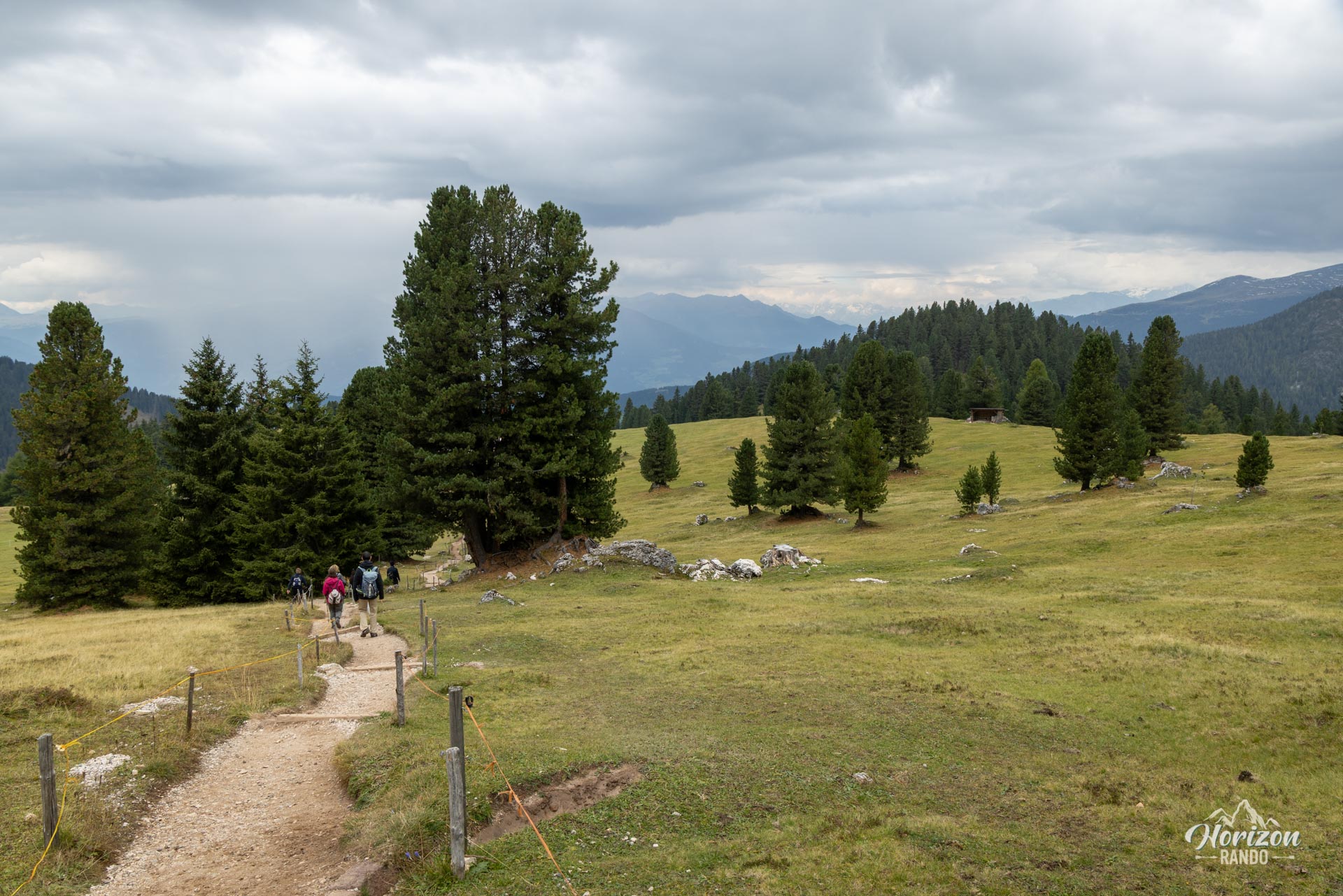
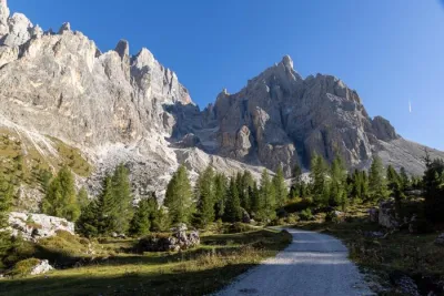
The hike is easy and presents no technical difficulties. The trail is wide and well-marked with clear signage and directional signs at every intersection. The terrain alternates between forest tracks, narrow paths through the woods, and sections across open alpine pastures.
The loop can be hiked in either direction, but the counterclockwise route (Trail 36 uphill, then Trail 35 followed by Trail 35A downhill) is recommended because it allows you to hike facing the Odle massif along the most scenic part of the route.
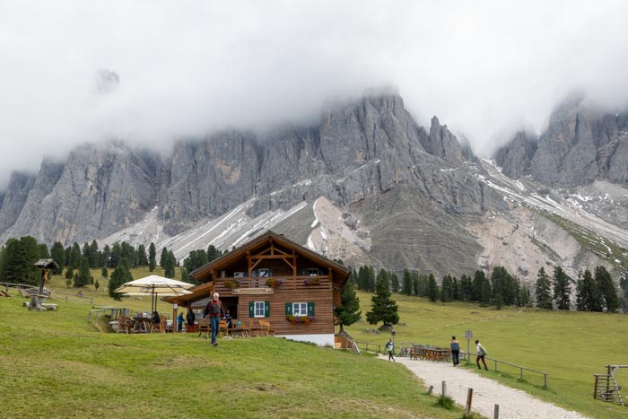
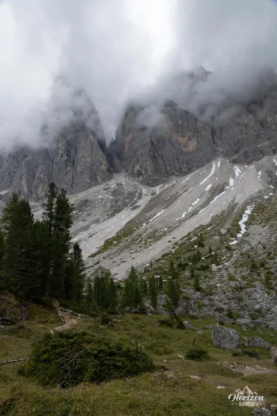
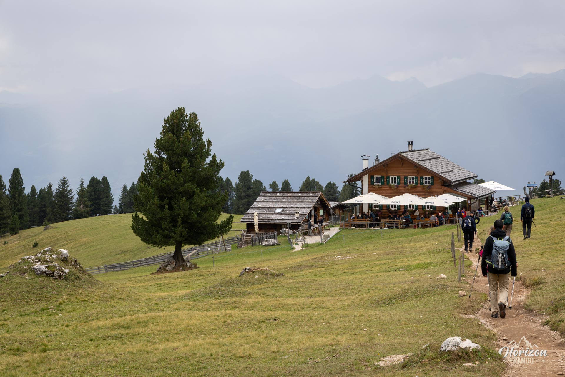
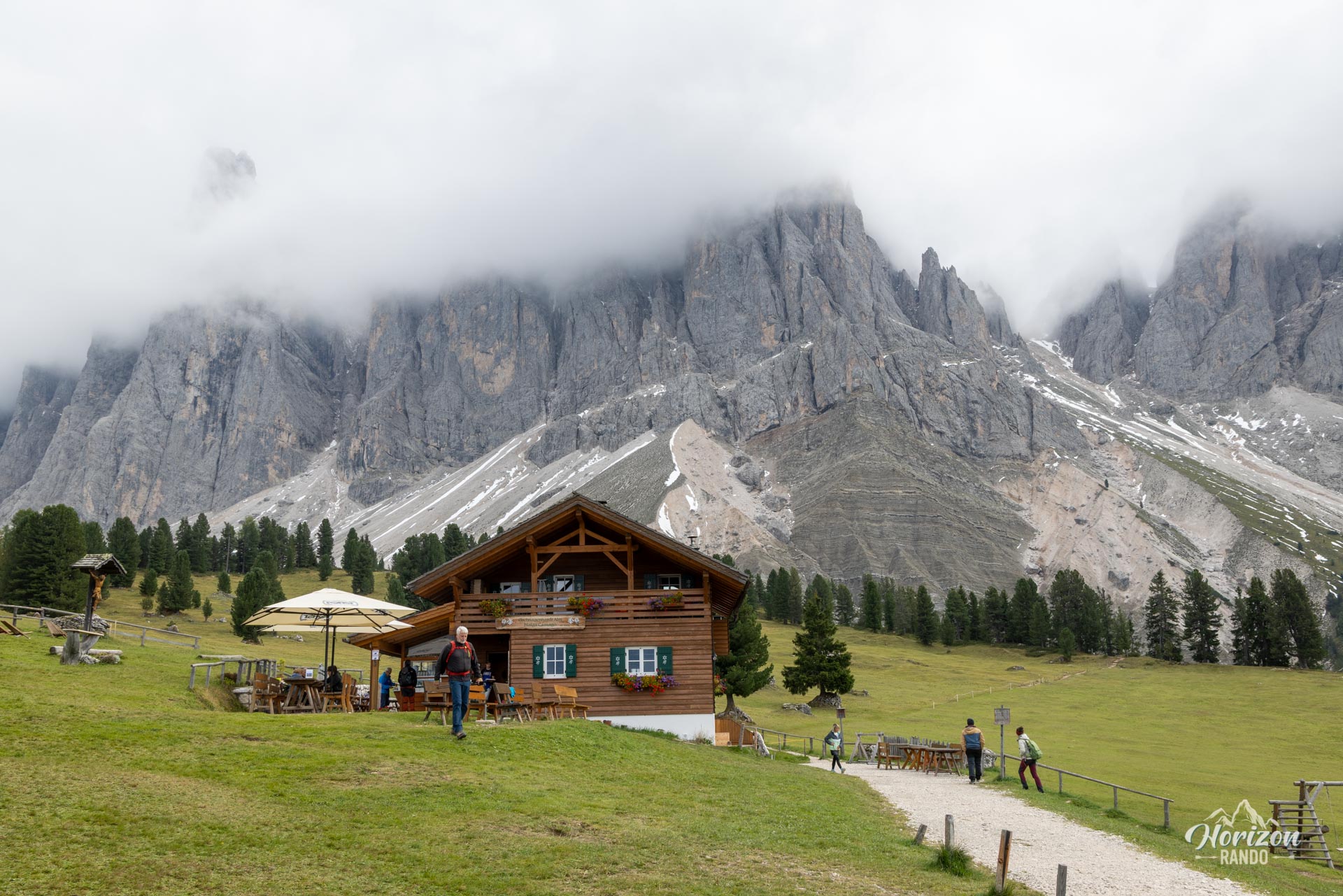
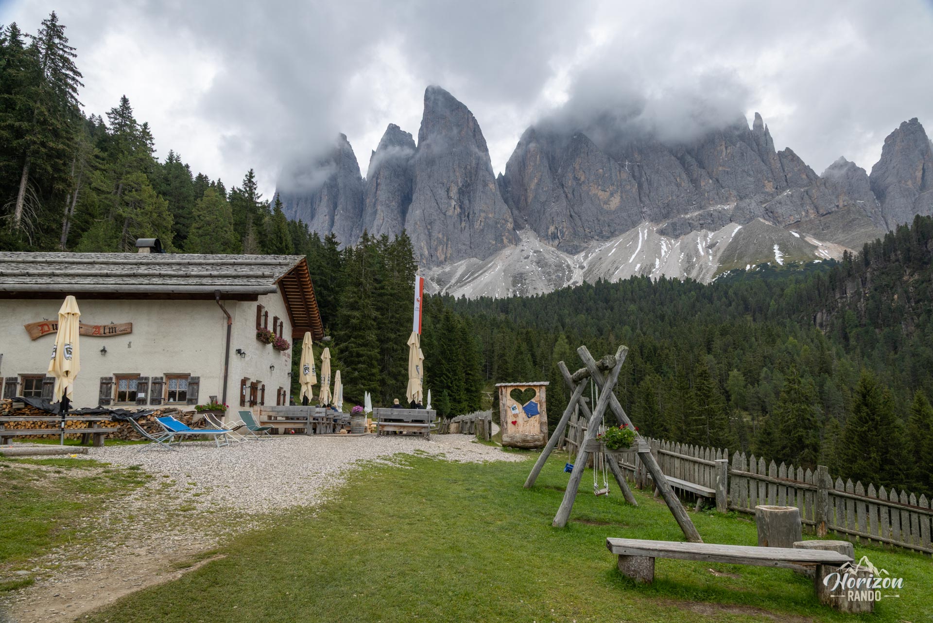
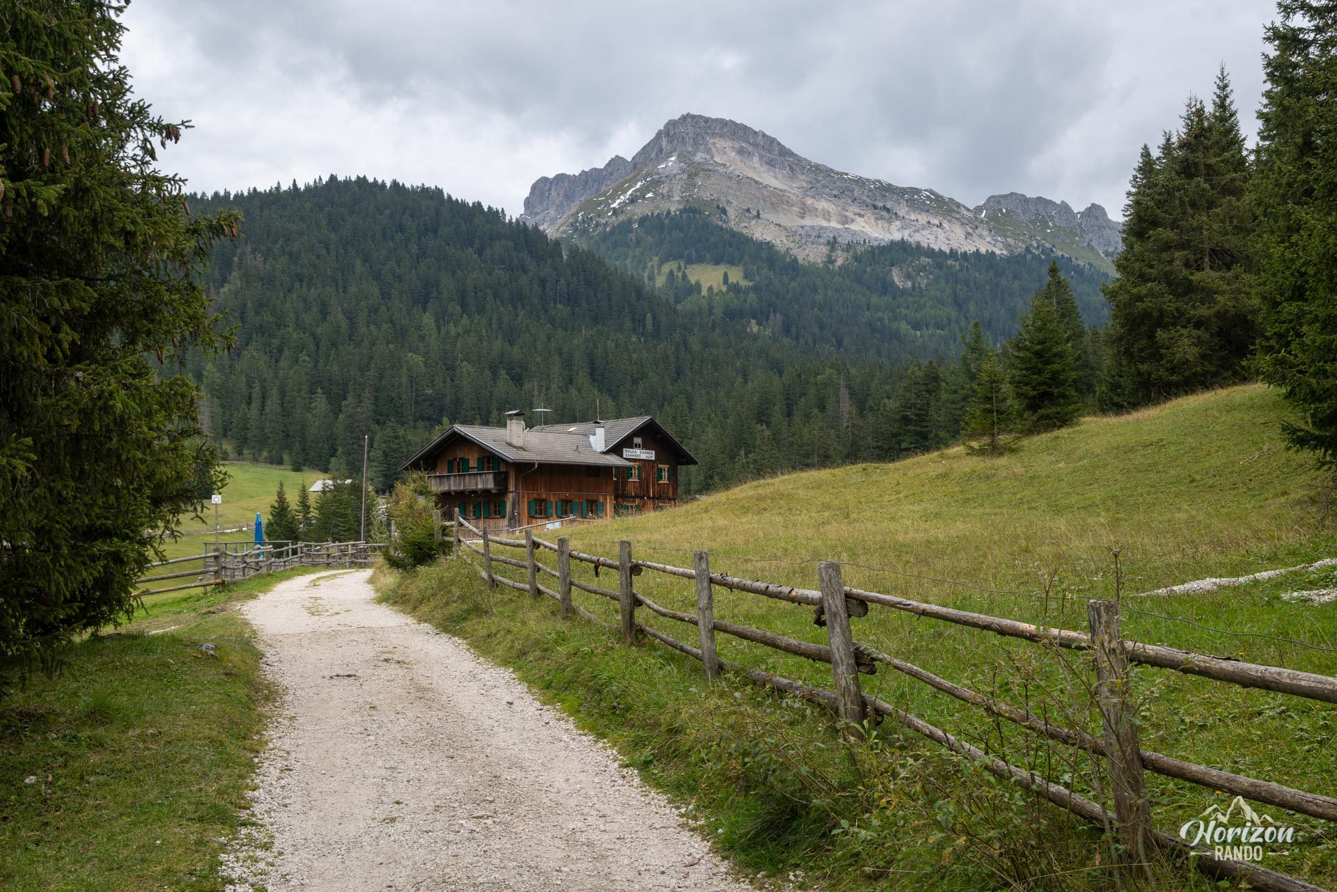
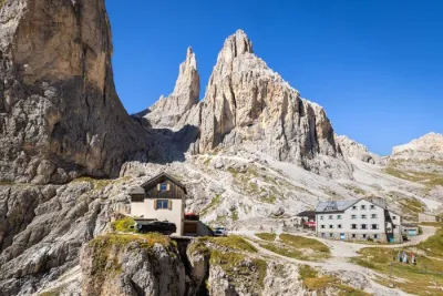
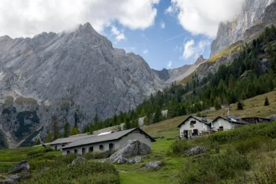
Starting from the Zannes (Zanser Alm) parking lot, take Trail 36, which climbs through the forest to Dusler Alm (1,782 m), the first possible rest stop. The trail continues to climb through the woods to Rifugio Odle/Geisler Alm (1,996 m), the most photographed viewpoint on the hike. The peaks of Furchetta, Sass Rigais, and the entire Odle massif rise directly ahead. It takes just a few minutes more to reach the Malga Casanago/Gschnagenhardt Alm, a peaceful mountain pasture nestled at the foot of the cliffs.
This is where the Adolf Munkel Trail itself (No. 35) actually begins, running along the foot of the rock face toward the west. The trail winds through a beautiful spruce and pine forest, open enough in places to offer glimpses of the peaks. Just before the bridge over the Rio San Zenon, turn left onto Trail 35A, which gently descends back to the starting point.
What you'll love
- The panoramic view of the Odle group from the Geisler Alm and the Gschnagenhardt Alm, which features a spectacular array of peaks and ranks among the region's most beautiful vistas.
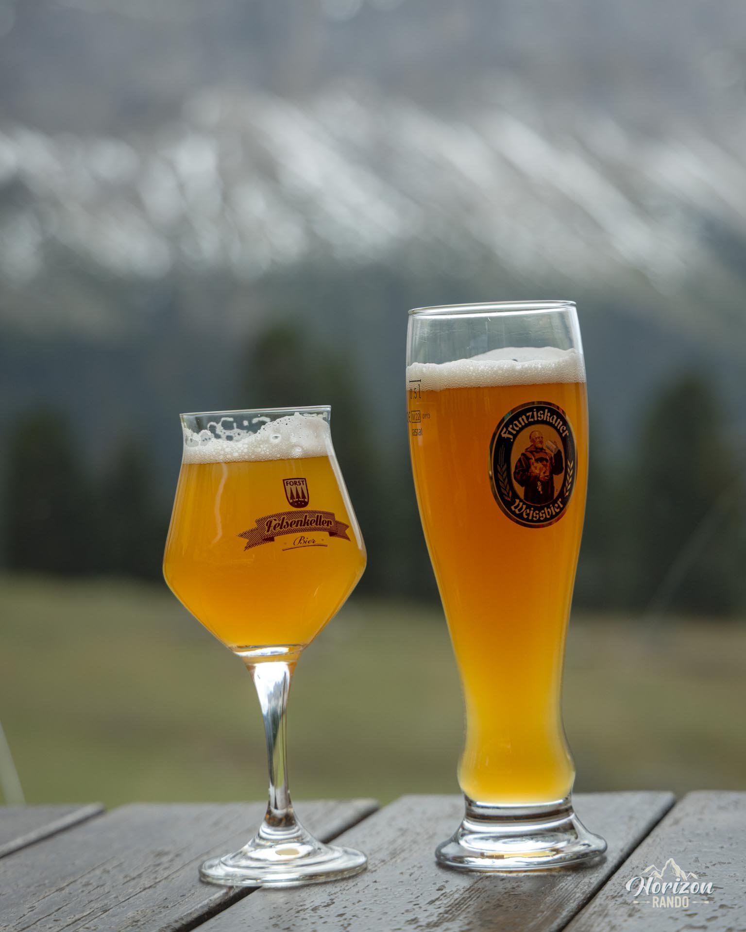
- Three mountain huts along the route, perfect for a tasty break featuring South Tyrolean specialties like speck, knödel, and strudel.
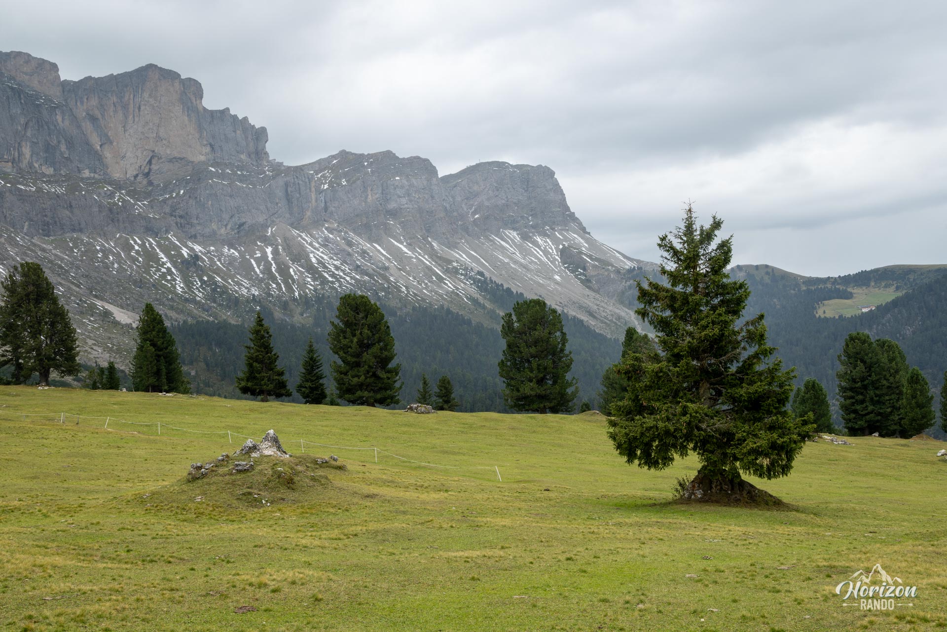
- The ambiance of the alpine pastures, where cows, horses, and donkeys graze at the foot of the cliffs.
Practical information
Parking
There is a large paid parking lot in Zannes/Zans at the end of the Val di Funes road. Indicative price in 2025: €10 per car.
Best time to go
June through October. October offers the best balance of moderate crowds, open huts, and beautiful fall colors.
Photos
See all 9 photos →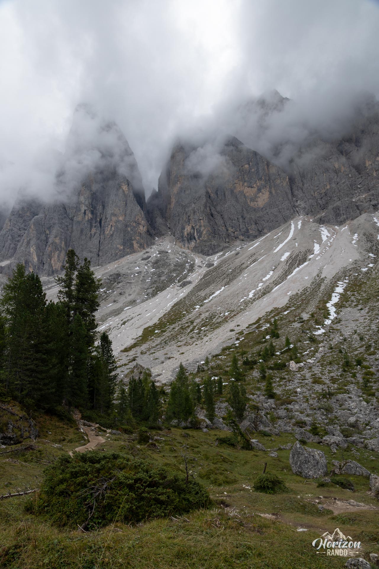
More hikes to do in the Dolomites
Nearby hikes

Printed from www.horizonrando.fr/en/hiking-dolomites/adolf-munkel-trail/