





Val Venegia and Baita Segantini Hike
Key facts about the hike
- Difficulty
- Moderate Hikes are rated from very easy to very hard: my difficulty scale
- Duration
- 4h Estimated time, short breaks included (photos, water, snacks), picnic not included: how it is calculated
- Distance
- 12.6km
- Elevation gain
- 510m
- Type of route
- Loop
- Maximum altitude
- 2,200 m
- Vertiginous Five levels, depending on how exposed the route is: the levels in detail
- No
- Marked
- Partially
- Popularity
- Moderate
- Start point
- 46.32113, 11.78096
- Activity
- Hiking
Hike overview
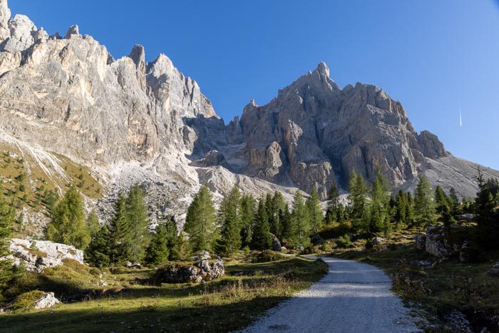
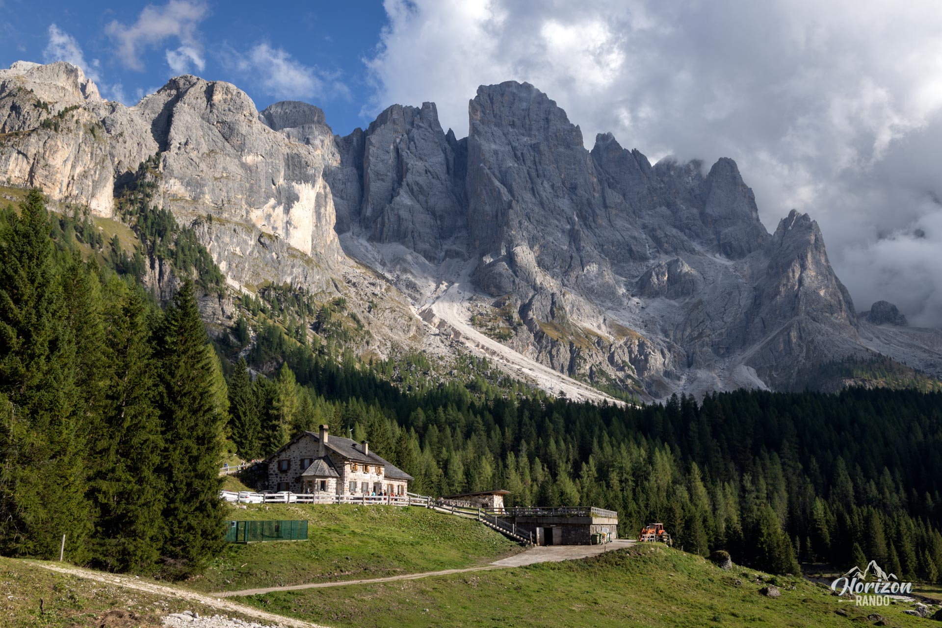
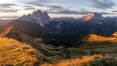
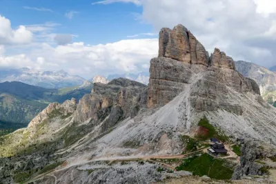
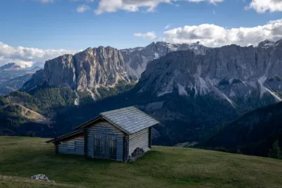
This loop hike at the foot of the northern slope of the Pale di San Martino mountain range follows Val Venegia on a gravel road before returning on a wilder trail, passing by the legendary Baita Segantini viewpoint, one of the most photographed viewpoints in the Dolomites.
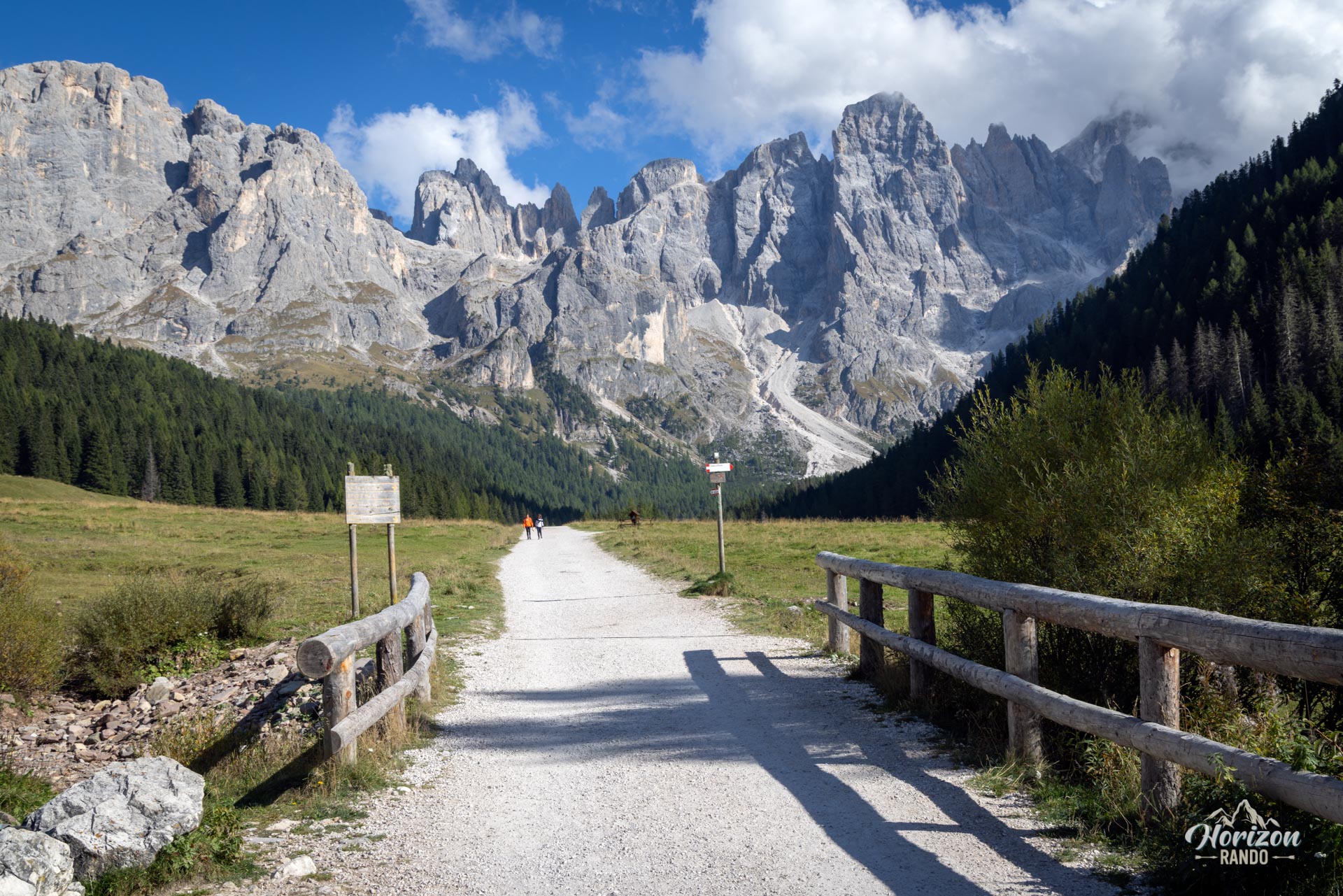
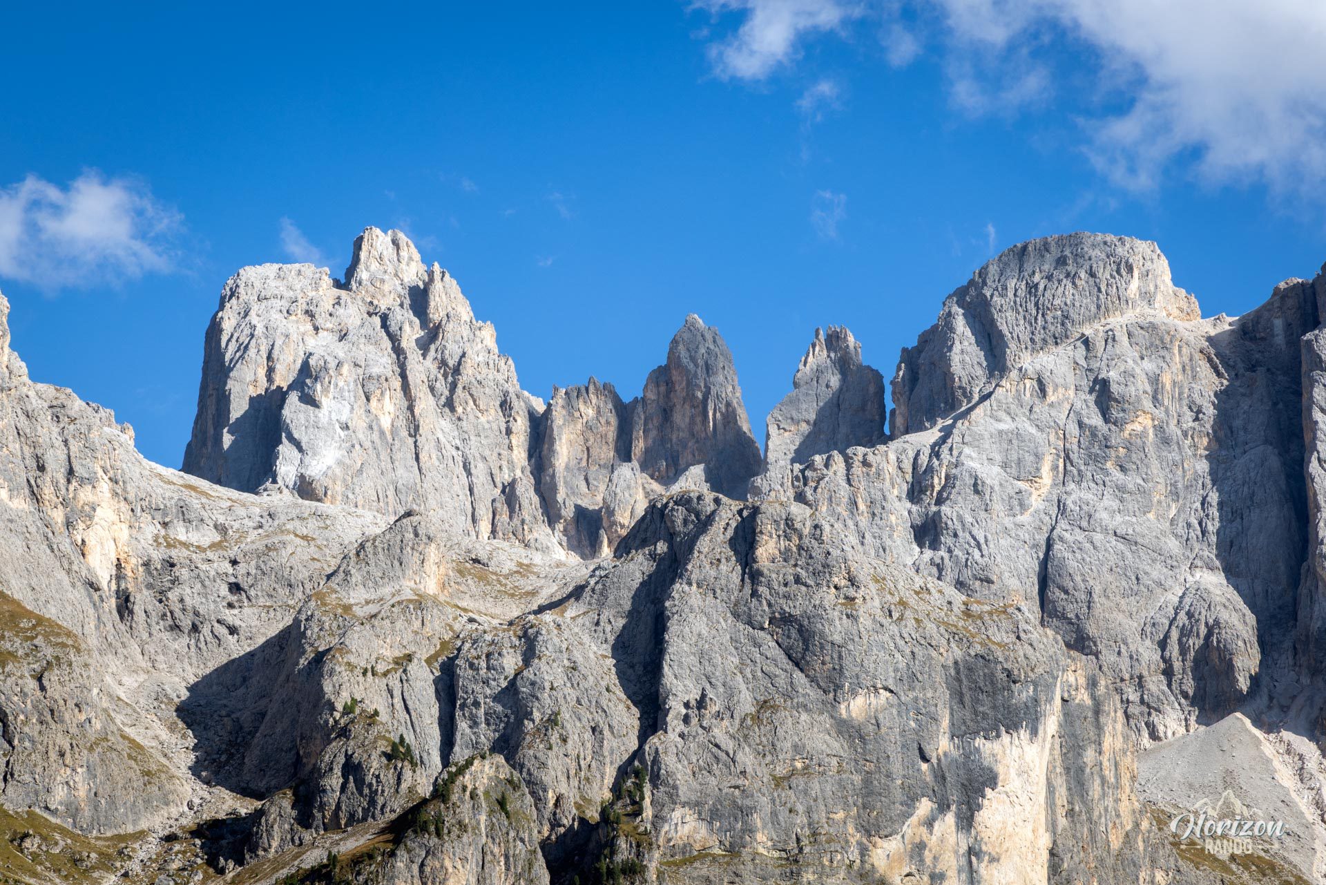
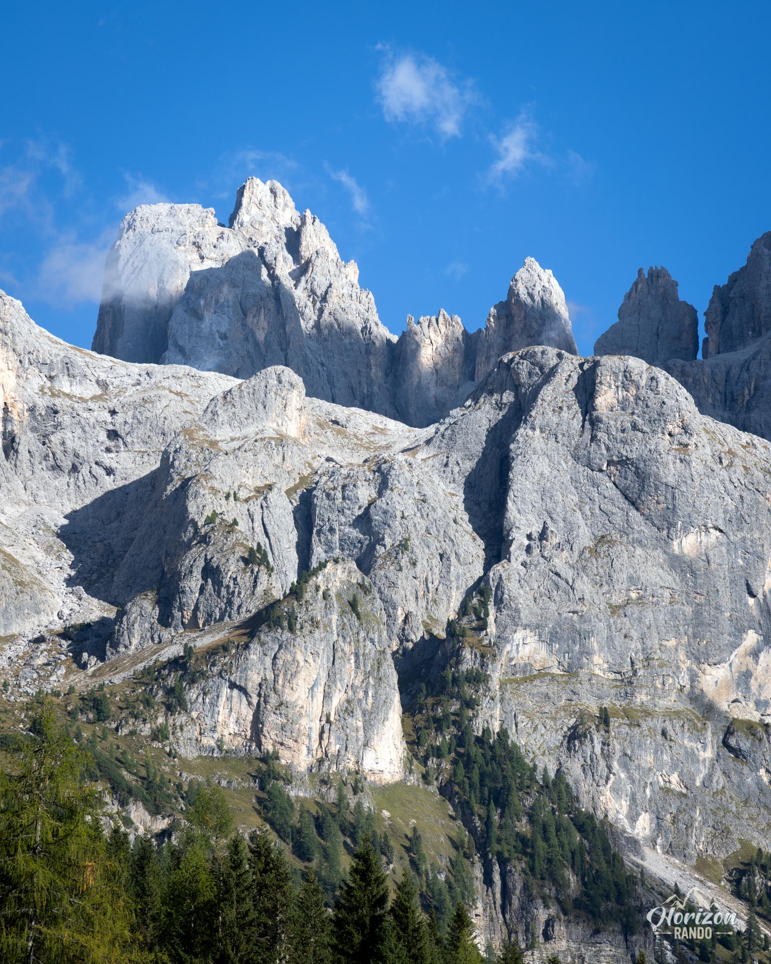
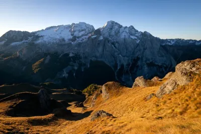
The limestone wall rising to Cima della Vezzana is constantly visible and magnificent, particularly as you approach the Baita. There are a few downsides: the scenery can be repetitive, and the trail is crowded during peak season.
Map and elevation profile of the hike
Val Venegia and Baita Segantini Hike
Description and difficulties of the hike
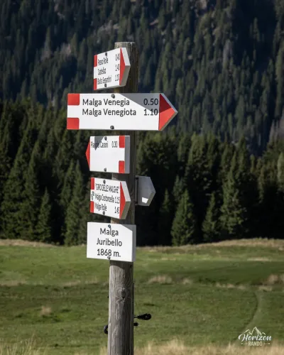
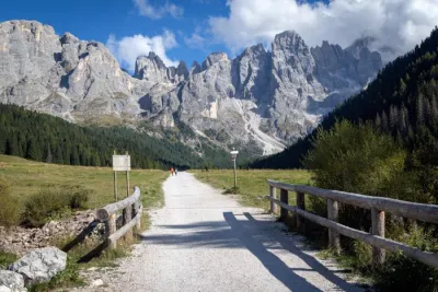
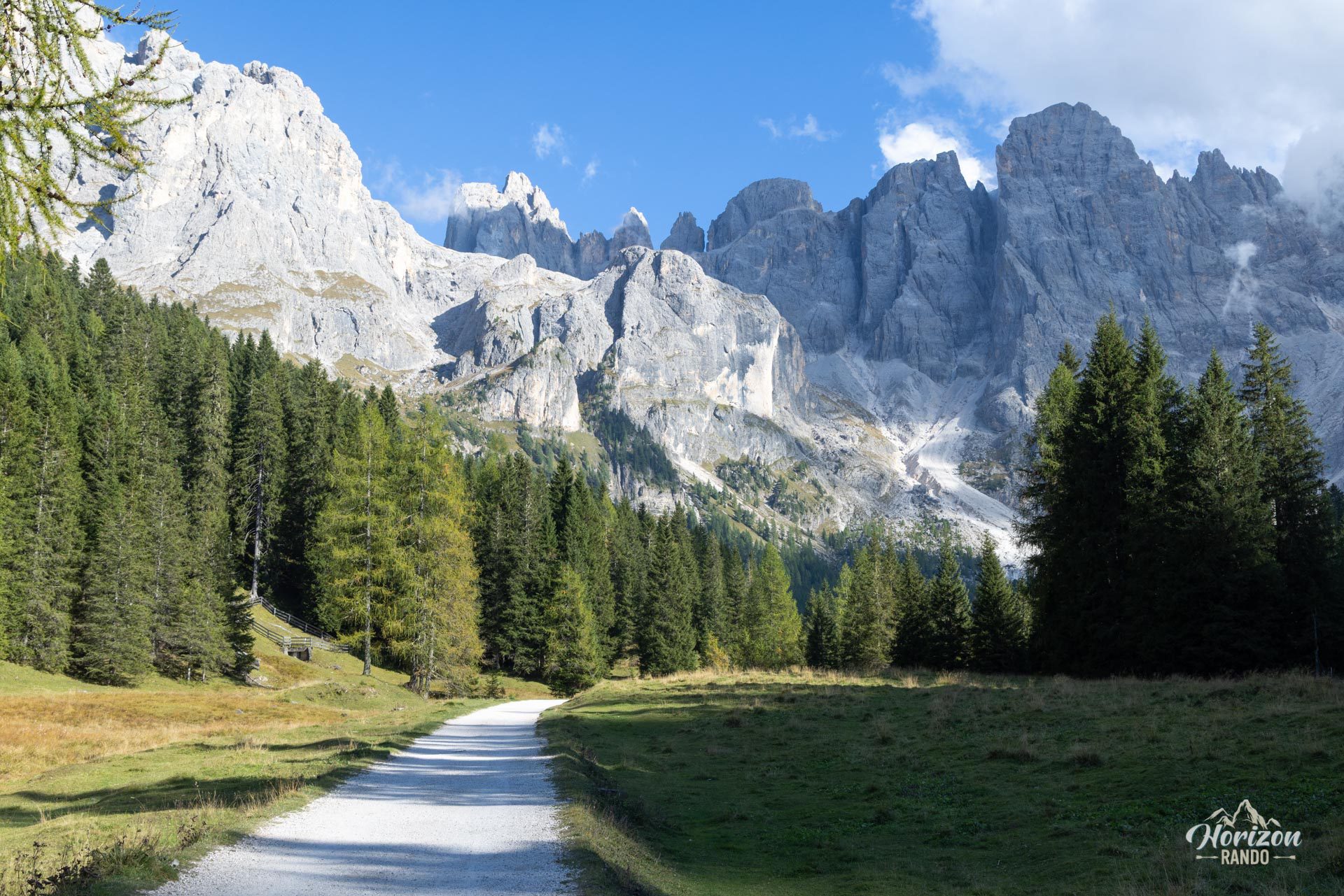
The route presents no technical difficulties. The first two-thirds follow the Strada Val Venegia, a wide gravel road reserved for pedestrians and cyclists. The final third follows an easy hiking trail. Waymarking is partial, but signposts at each junction make navigation straightforward.
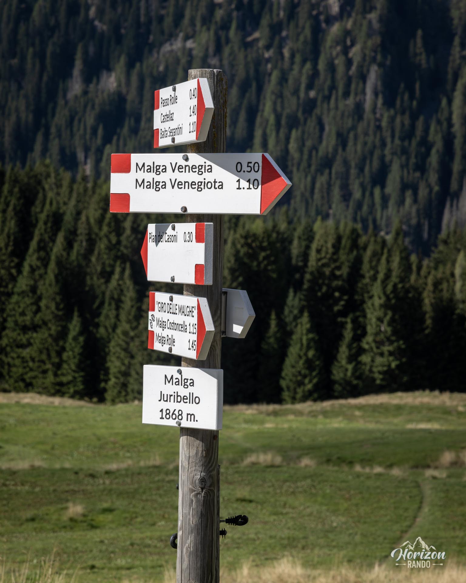
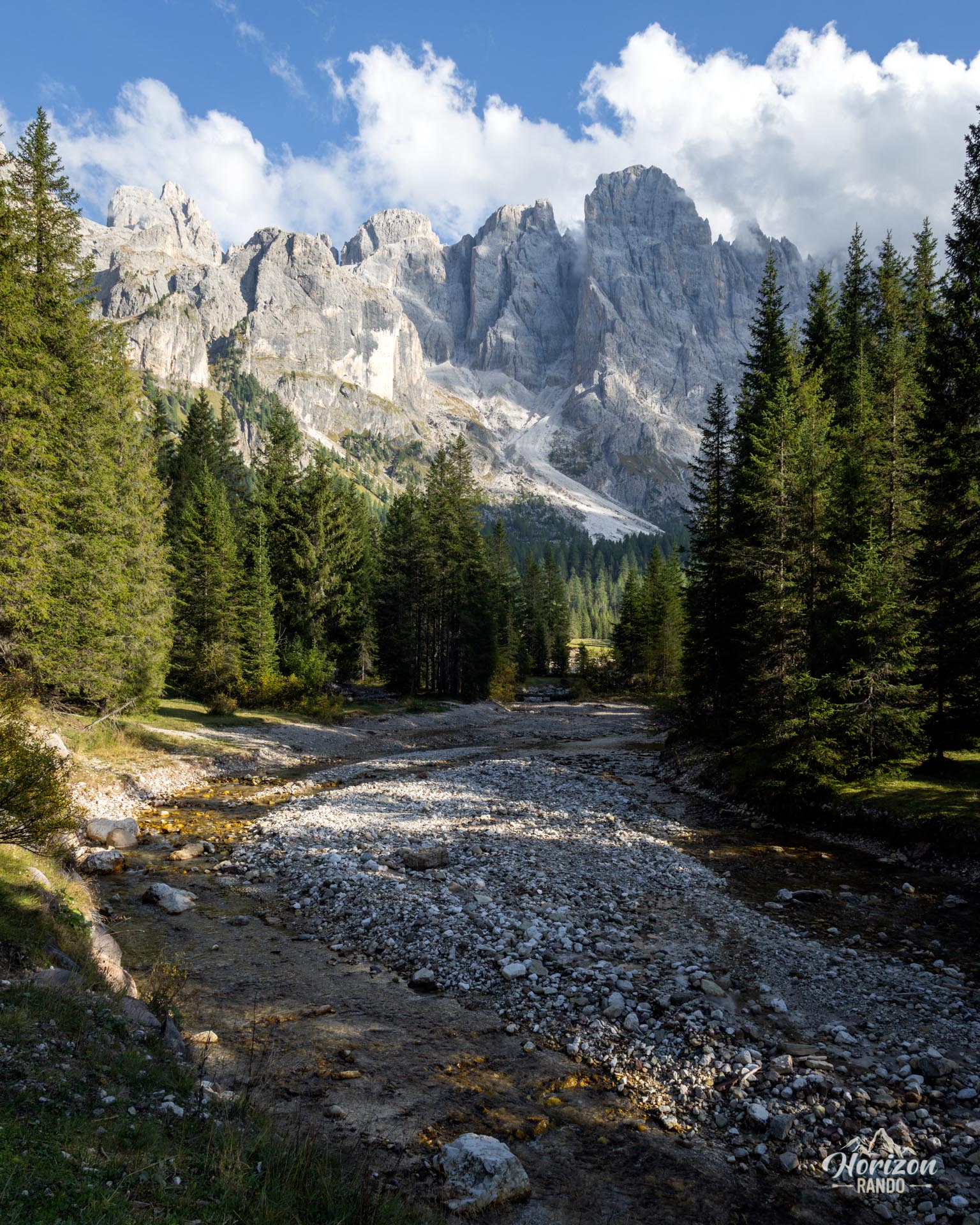
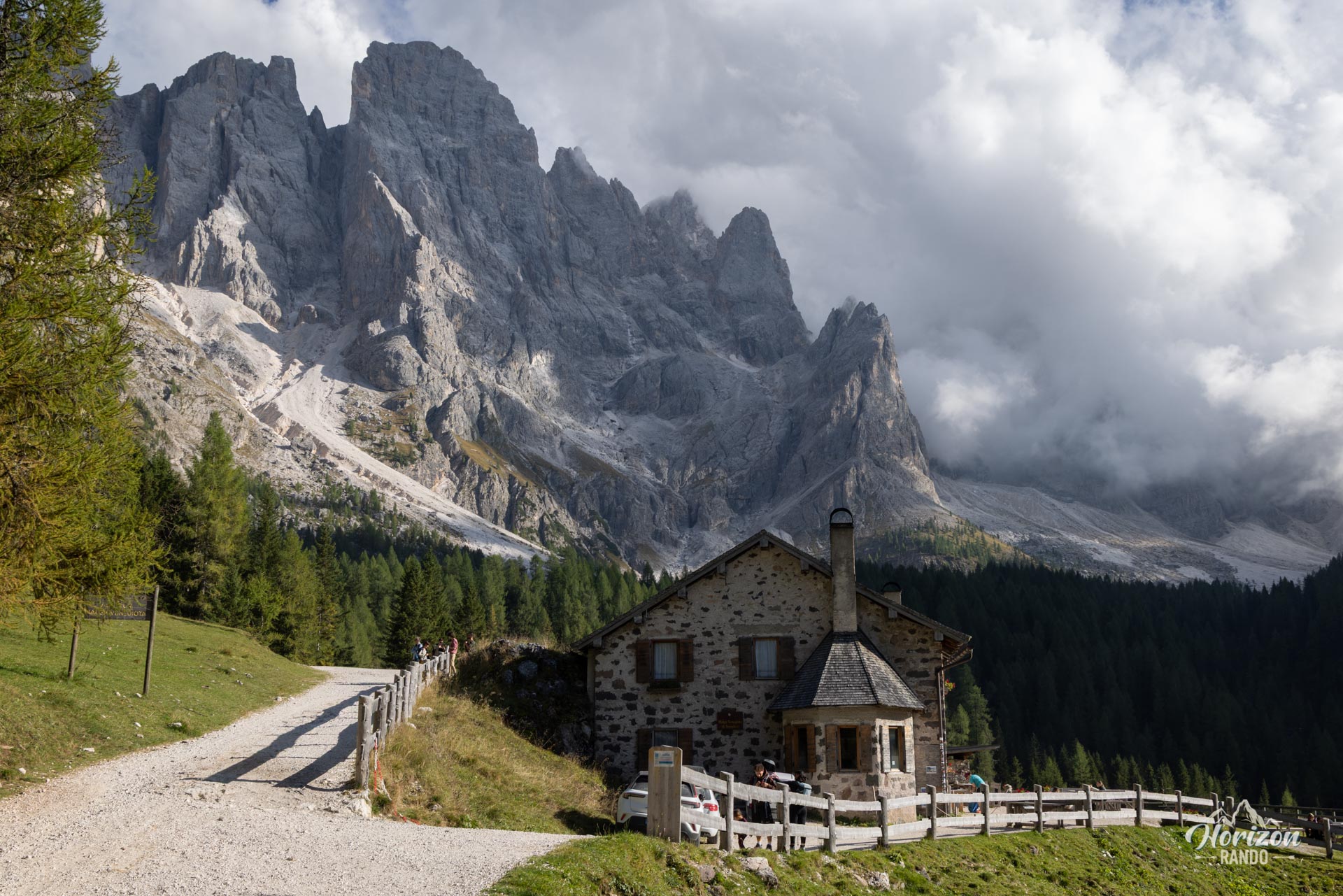
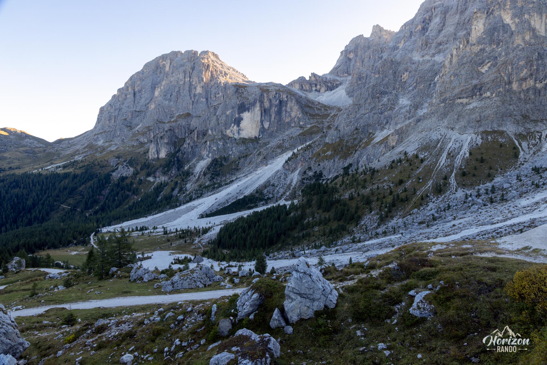
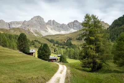
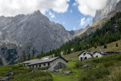
From the Pian dei Casoni trailhead (1,688 m), follow the Strada Val Venegia southeast. After a few minutes, you will emerge from the forest into an open valley facing the north face of the Pale di San Martino, which is dominated by Cima della Vezzana (3,192 m). The route climbs the valley on a gentle slope, alongside the Travignolo mountain stream, passing the Malga Venegia and Malga Venegiota mountain pastures.
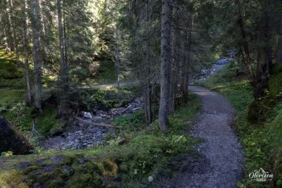
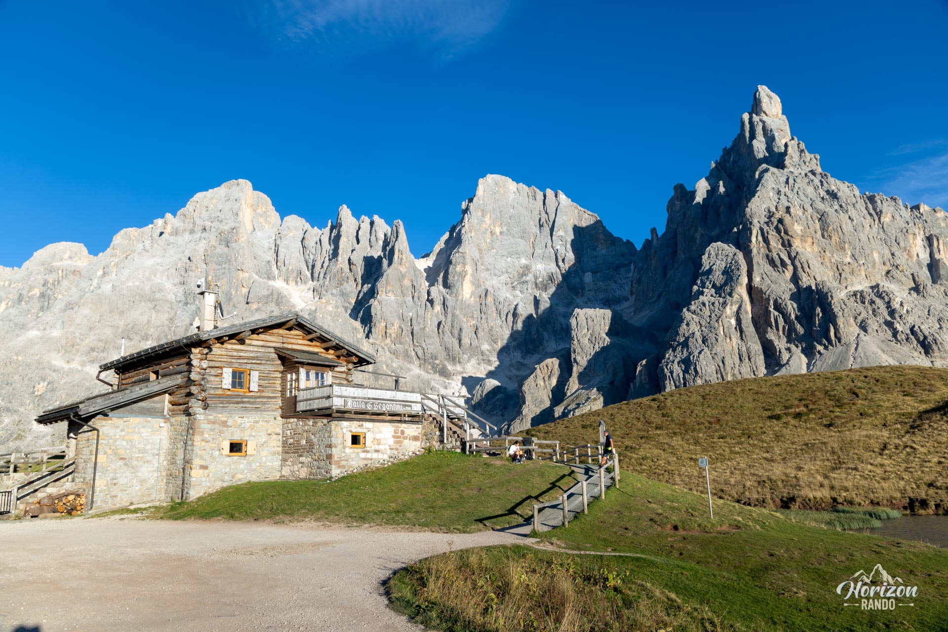
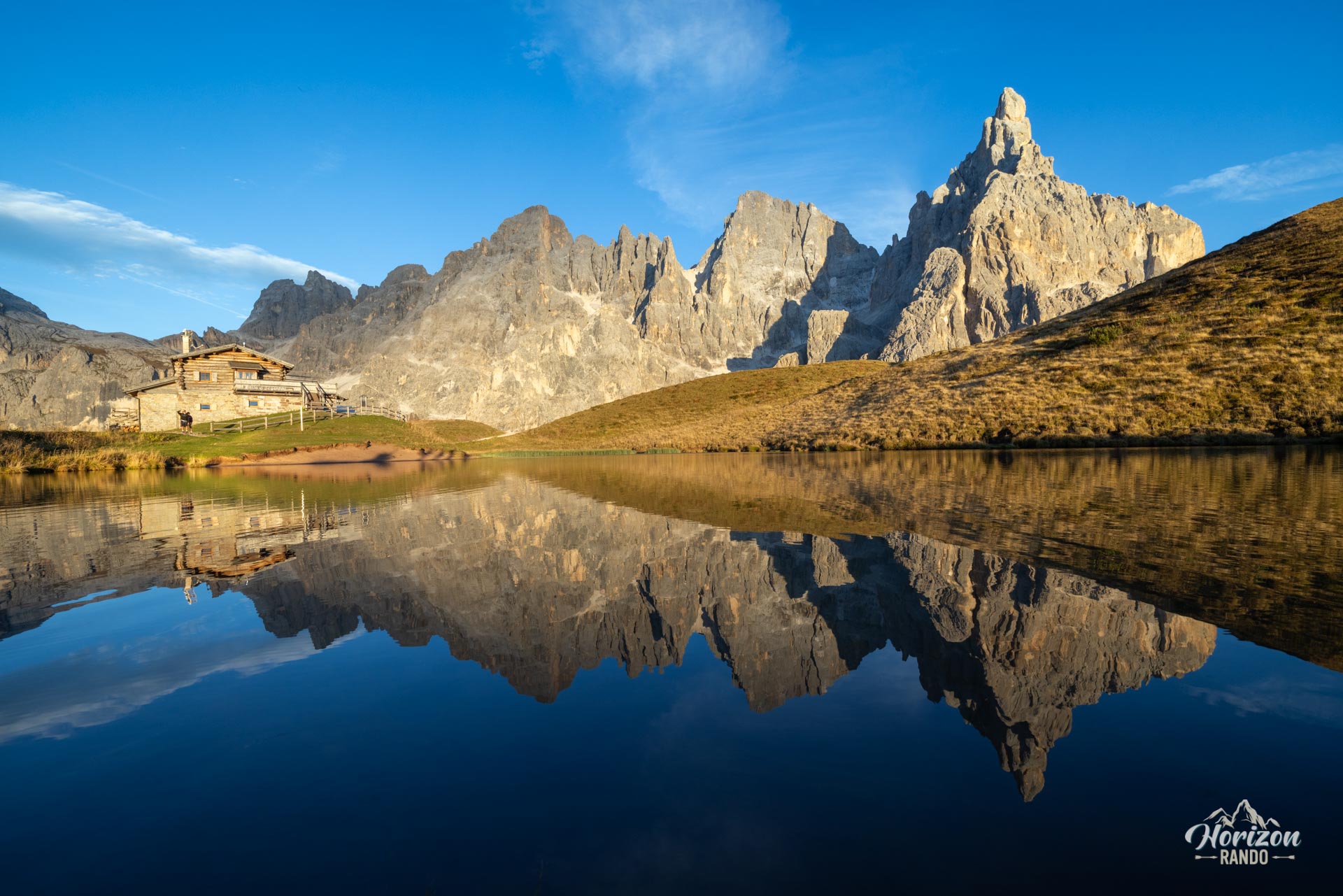
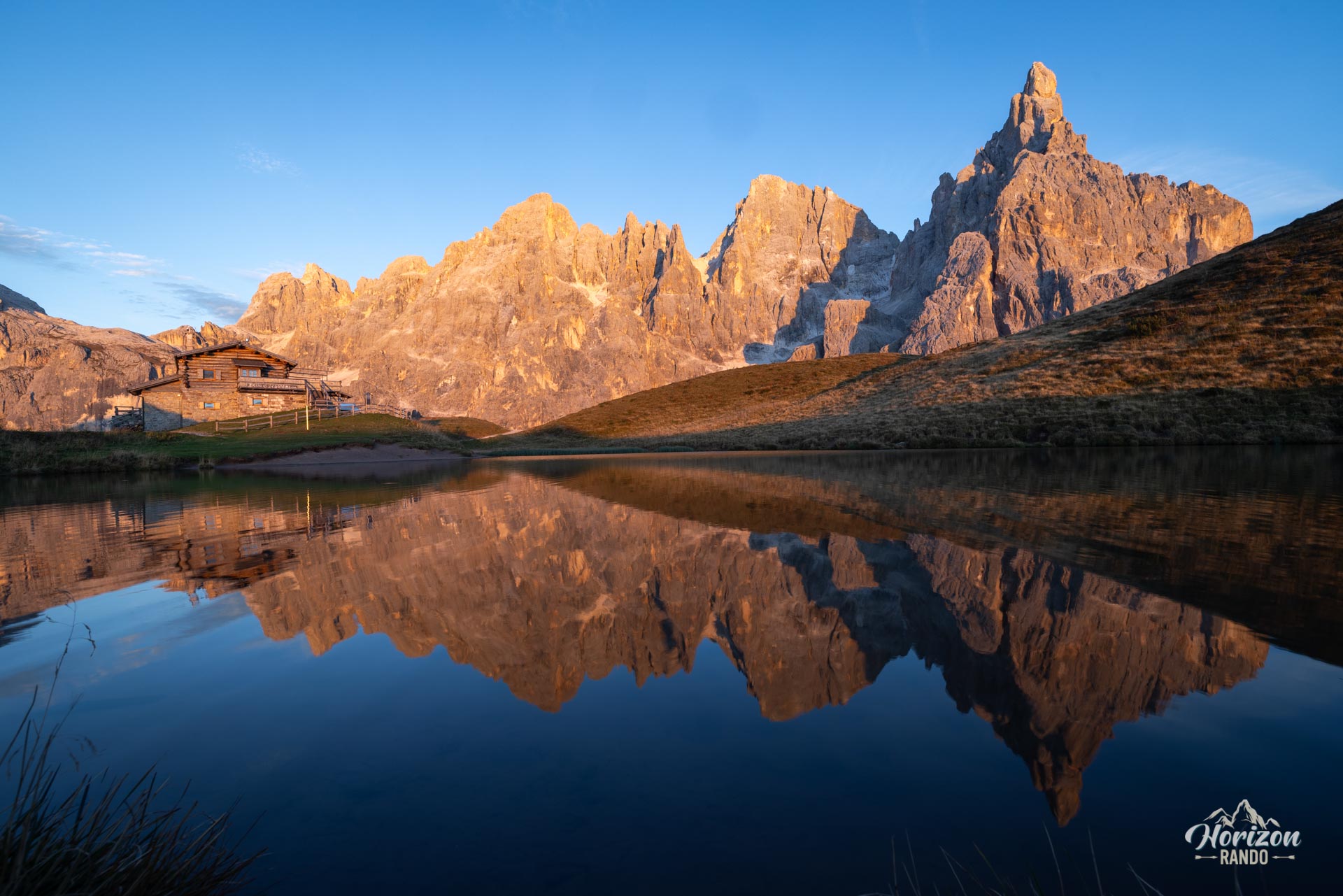
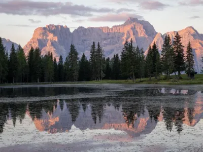
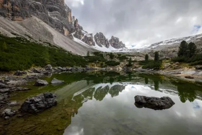
After Malga Venegiota, the trail climbs via a series of wide switchbacks that account for most of the elevation gain, up to Baita Segantini (2,200 m), which is perched on the edge of a small lake. On calm days, the lake reflects the Cimon della Pala, a very iconic panorama. The return route descends to the opposite slope toward Capanna Cervino (2,084 m), a mountain hut on the ski slopes of Passo Rolle. There, leave the track leading to Passo Rolle and take the path to the right (northwest) that circles Monte Castellaz, passing near Malga Juribello. This final section is significantly wilder than the outbound track and gradually leads back to Pian dei Casoni through pastures and larch forests.
What you'll love
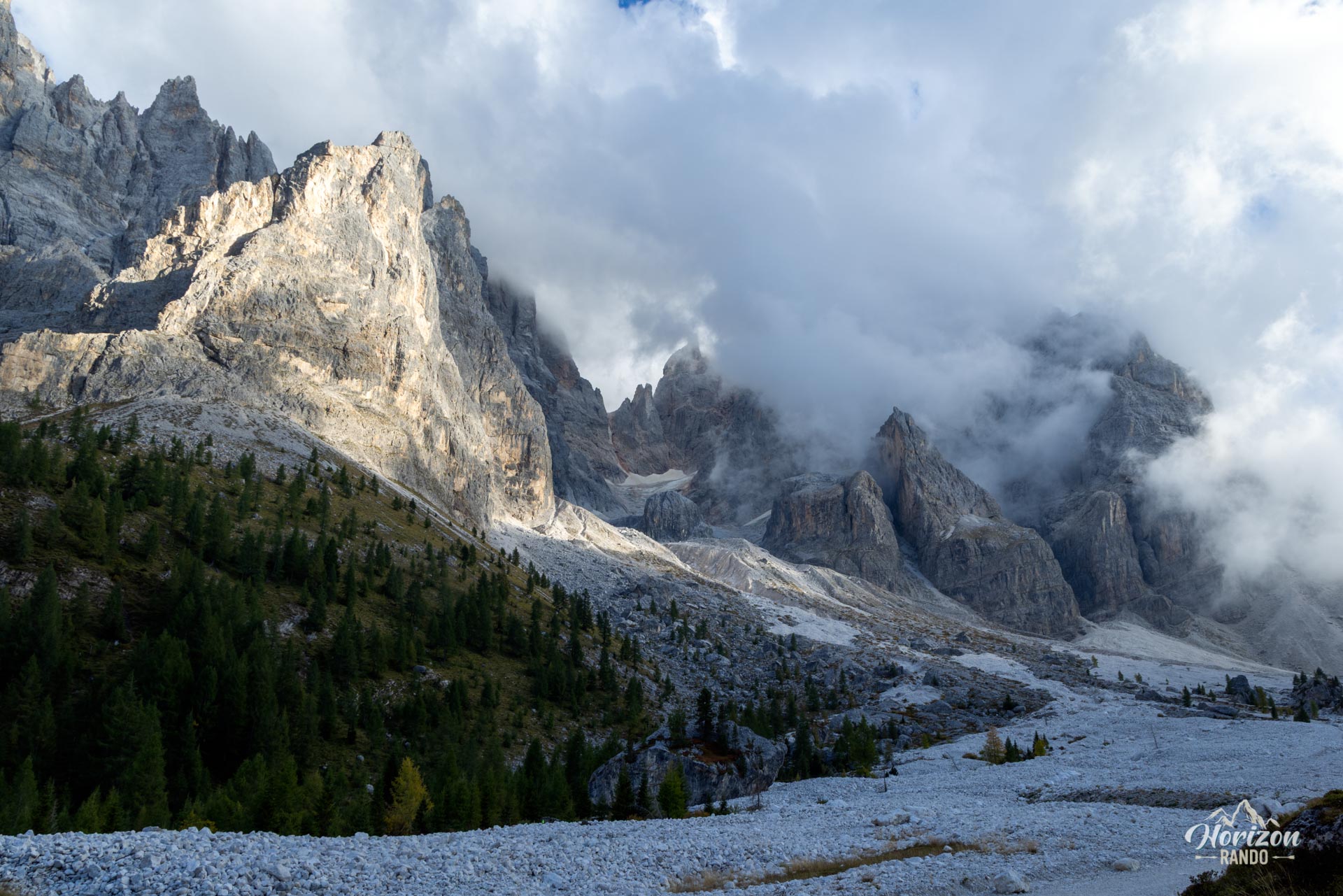
- The north face of the Pale di San Martino, which is visible at all times and rises nearly 1,500 m vertically above the valley.
- Arriving at Baita Segantini and its small lake, which is one of the Dolomites' most iconic panoramas.
- The four dining spots along the route (Malga Venegia, Malga Venegiota, Baita Segantini, and Capanna Cervino).
Practical information
Parking
Several options are available. The Pian dei Casoni parking lot (€7/day in 2025) is the standard starting point for this loop. The Malga Venegia parking lot is located slightly higher up (€10/day in 2025). Finally, Passo Rolle has a large free parking lot and allows you to start close to Baita Segantini, which is useful if the Val Venegia lots are full. During peak season, arrive early as spots fill up quickly.
Direction of the route
The recommended direction of the loop is clockwise (Pian dei Casoni → Val Venegia → Baita Segantini → Malga Juribello → return). This allows for a gradual ascent and keeps the view of the Pale di San Martino in front of you throughout the climb.
Food and drink
Malga Venegia, Malga Venegiota, Baita Segantini, and Capanna Cervino are open during the season, generally from June to late September.
Photos
See all 14 photos →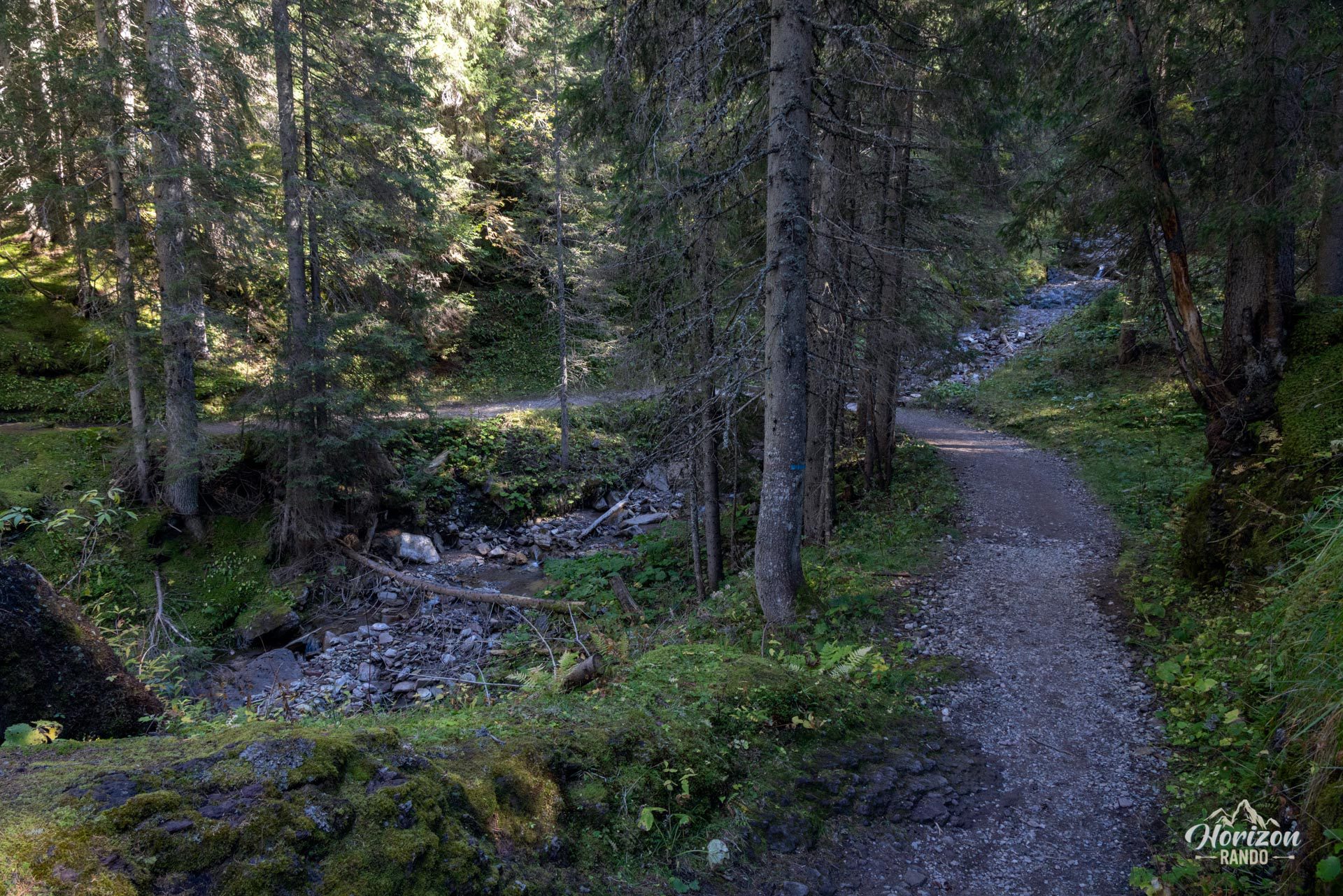
More hikes to do in the Dolomites
Nearby hikes

Printed from www.horizonrando.fr/en/hiking-dolomites/val-venegia-and-baita-segantini-hike/