





Lago di Braies Loop
Key facts about the hike
- Difficulty
- Very easy Hikes are rated from very easy to very hard: my difficulty scale
- Duration
- 1h15 Estimated time, short breaks included (photos, water, snacks), picnic not included: how it is calculated
- Distance
- 3.7km
- Elevation gain
- 90m
- Type of route
- Loop
- Maximum altitude
- 1,550 m
- Vertiginous Five levels, depending on how exposed the route is: the levels in detail
- No
- Marked
- Yes
- Popularity
- High
- Start point
- 46.69928, 12.08521
- Activity
- Hiking
Hike overview
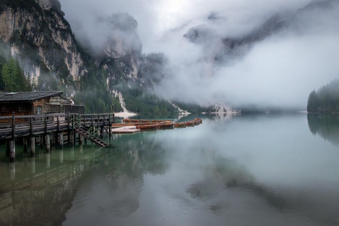
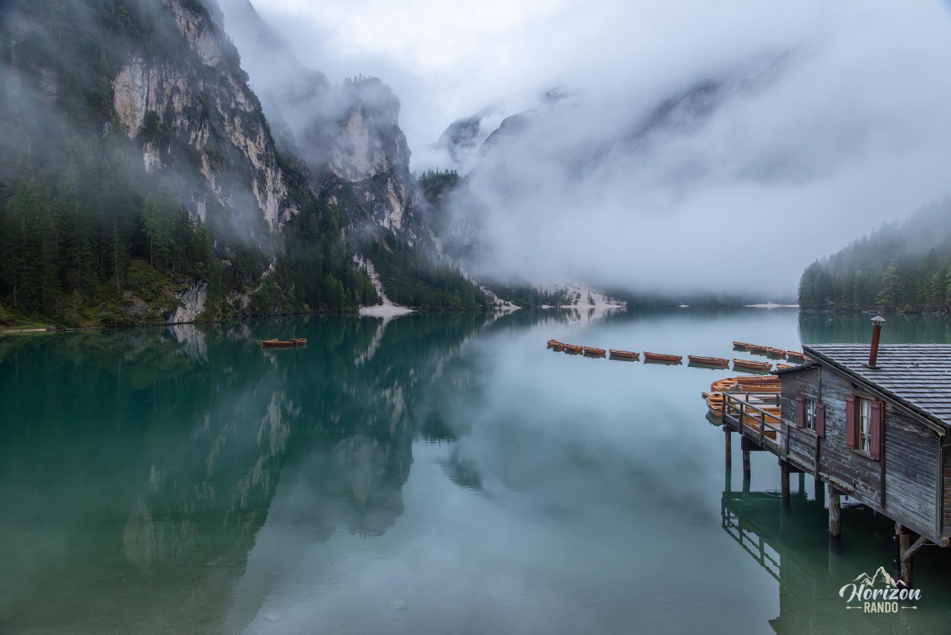
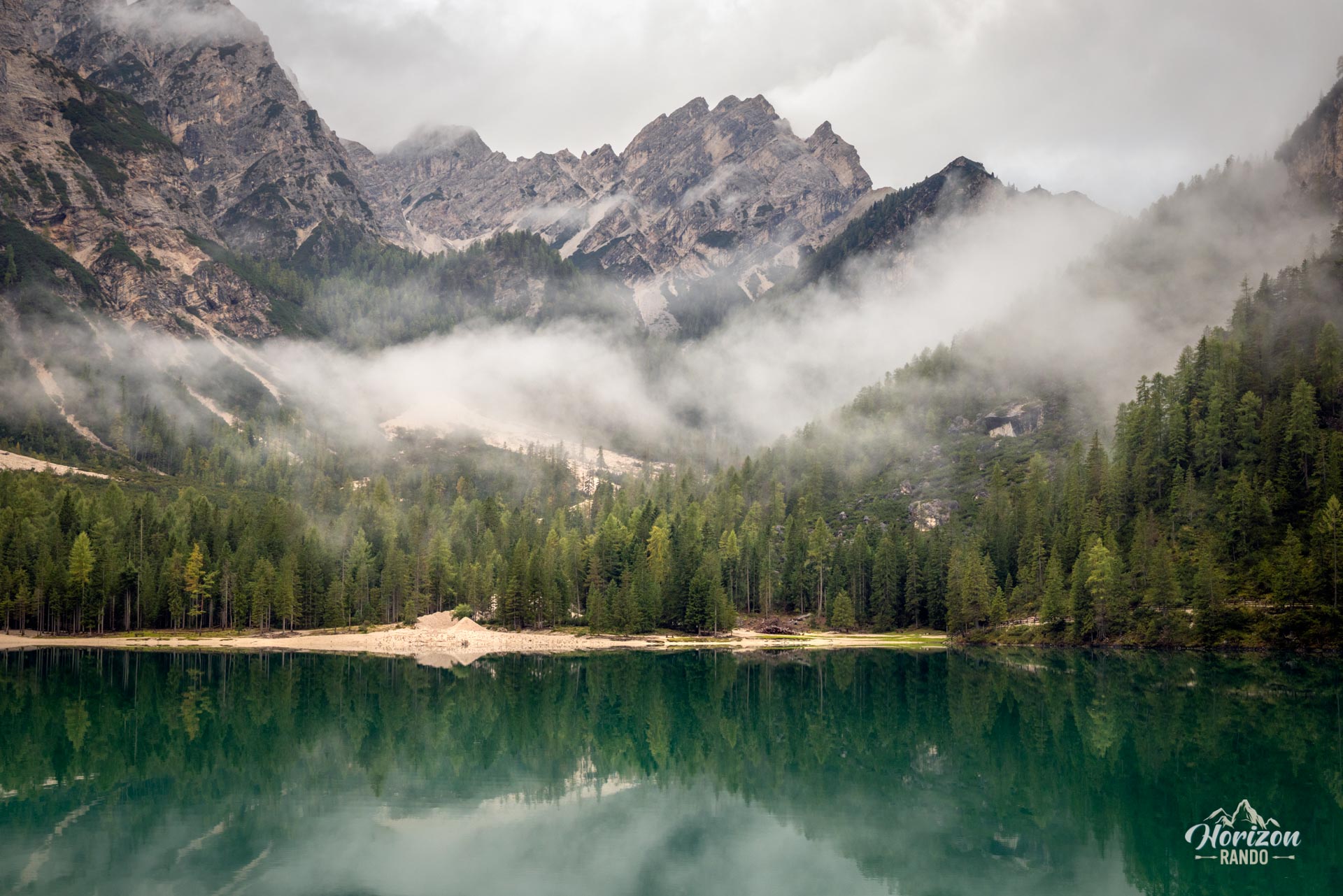
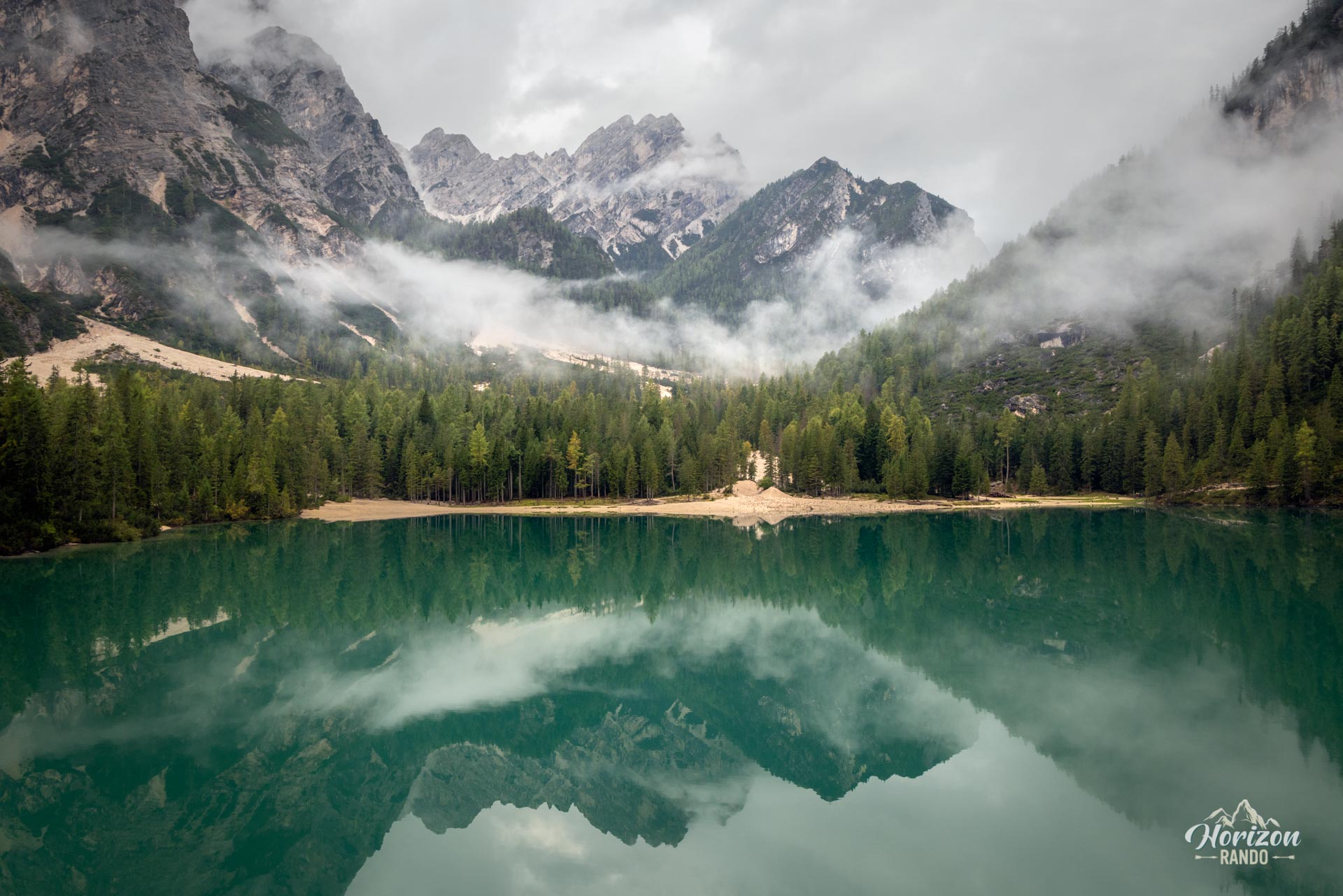
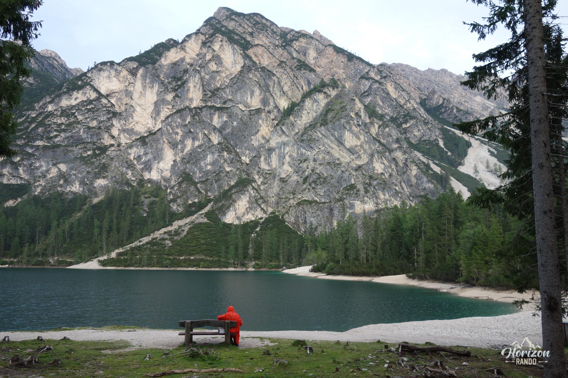
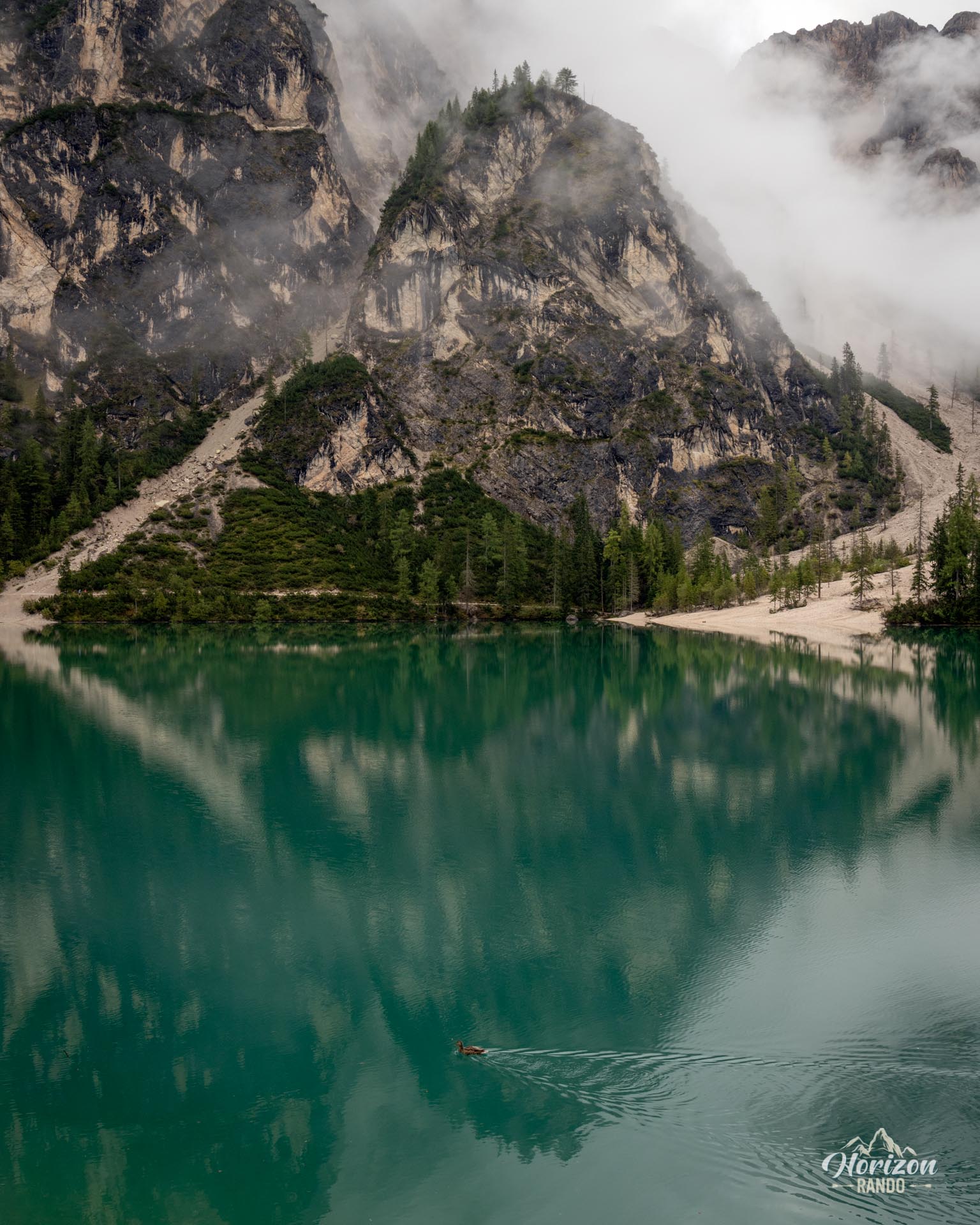
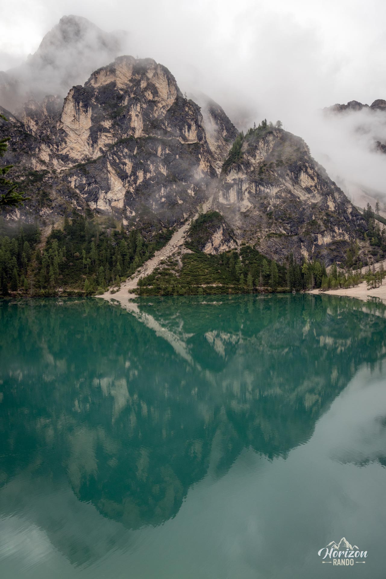
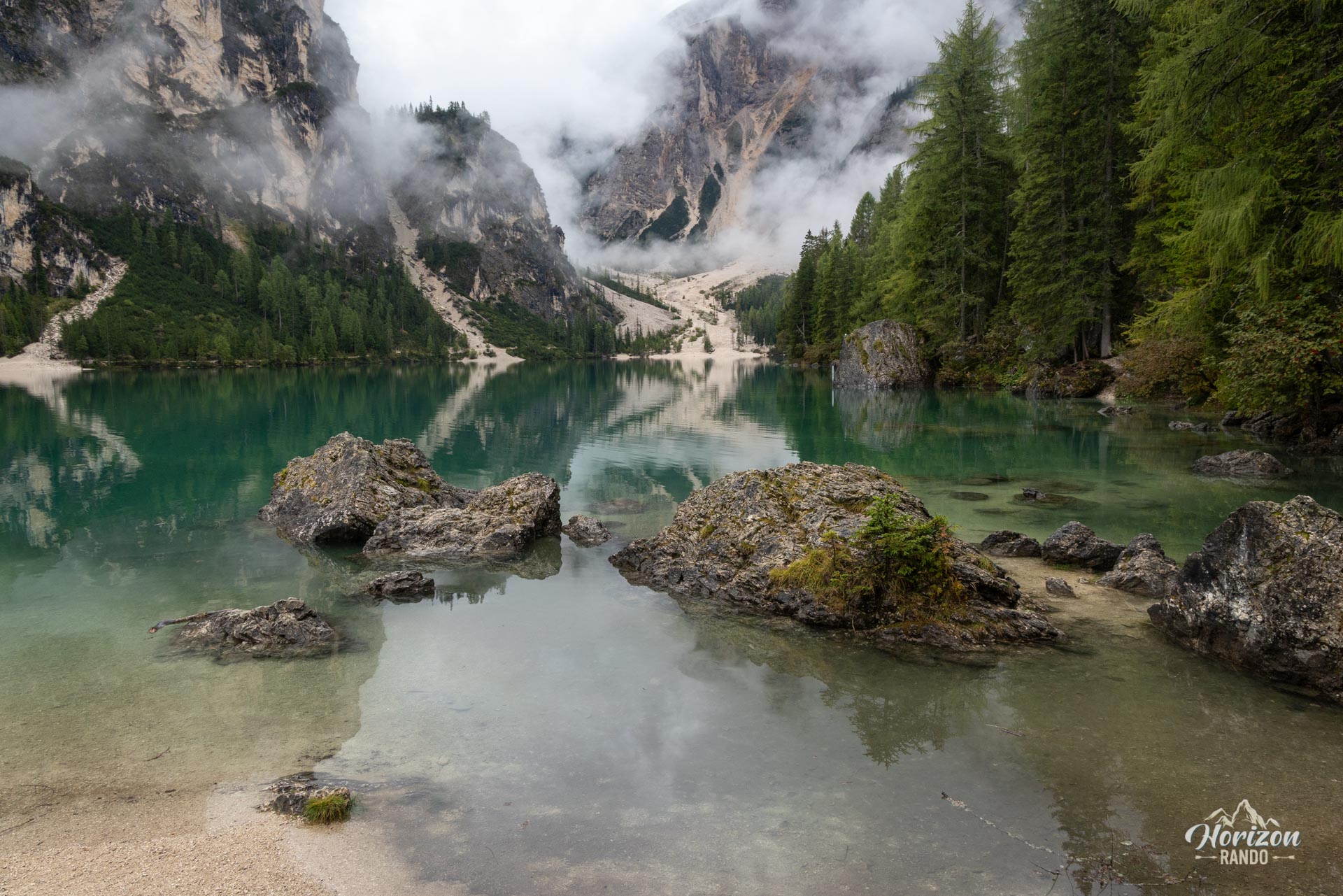
The loop around Lago di Braies is a short, easy hike, located in the Fanes-Sennes-Braies Nature Park, circling one of the most photographed lakes in the Dolomites, at an altitude of nearly 1,500 meters. The emerald-green waters of the lake, dominated by the imposing rock face of Croda del Becco (Seekofel), offer one of Italy's most iconic landscapes. The downside is that the area is extremely crowded for much of the year, particularly around the rowing boat pier, the site's Instagram icon.
Map and elevation profile of the hike
Lago di Braies Loop
Description and difficulties of the hike
The loop follows an excellently marked trail accessible to everyone. The route is easy to follow the entire way, with the lake serving as a constant landmark.
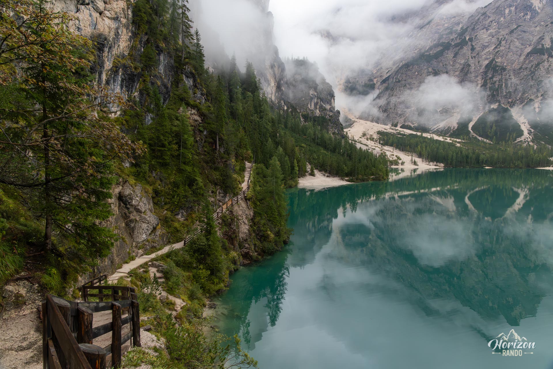
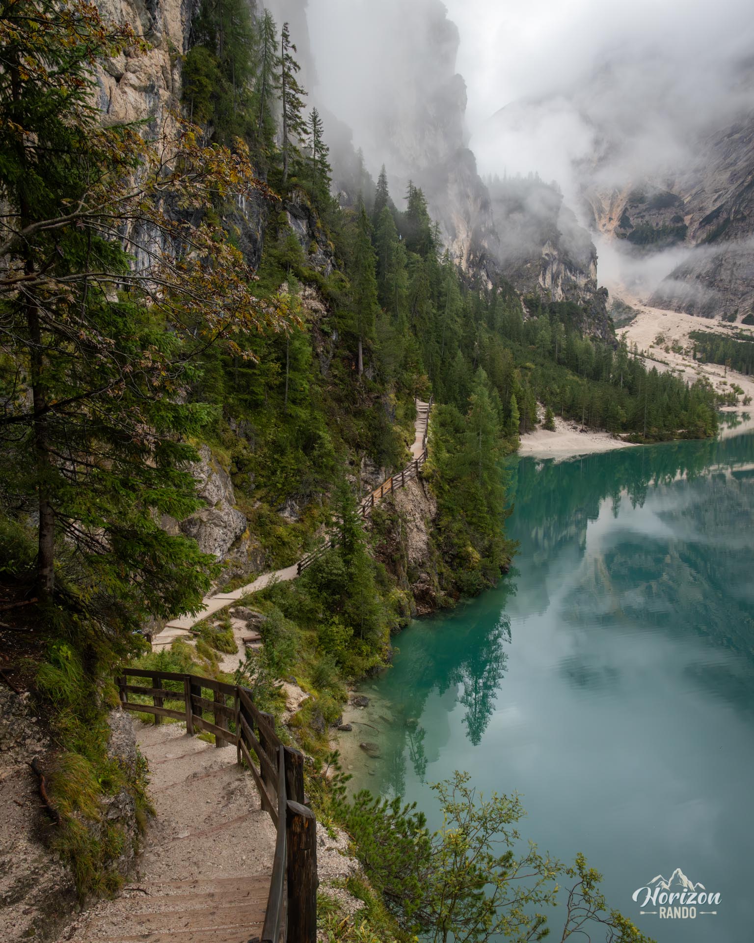
Starting from the north pier, follow the trail clockwise along the east shore. The path gradually ascends above the water, with a few wooden staircases and several sections protected by railings. This is the most scenic part of the loop, offering a sweeping view of the entire lake and the rounded silhouette of Monte Nero across the water.
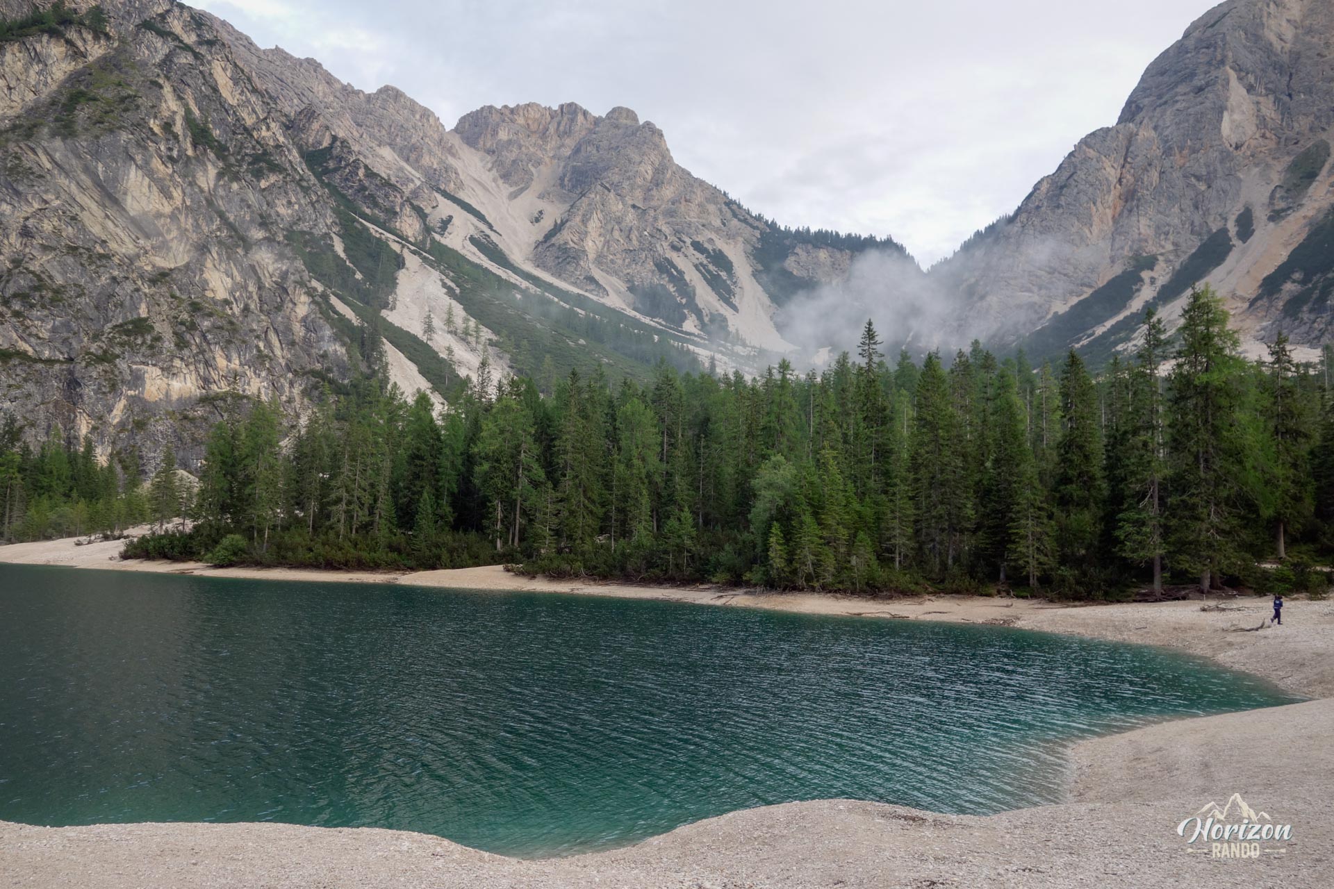
The trail then crosses several scree gullies before descending halfway down to the south shore at the foot of Croda del Becco. A pebble beach invites you to take a break, and picnic tables and restrooms are nearby. There is also a field of cairns scattered along the shore.
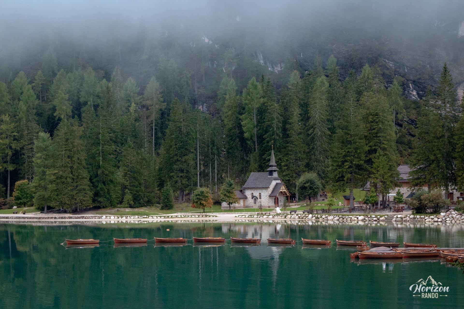
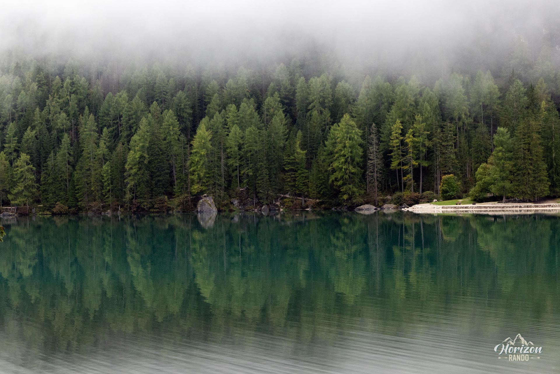
The second half, along the western shore, is even easier going: a nearly flat track winds through a forest of pines, spruces, and larches. You'll pass the small 1904 chapel dedicated to Mater Dolorosa, as well as the adjoining stables. The trail finally reaches the north pier, wooden boats, and hotel, completing the loop.
What you'll love
- The stunning setting for minimal effort: the vertical face of Croda del Becco, the emerald waters, and the wooden boats create one of the most iconic postcard views of the Dolomites.
- The variety of viewpoints: the contour path along the eastern shore, the pebble beach at the far end of the lake, the wooded western shore, and the iconic pier on the way back.
Practical information
Access and parking
During the high season (July 1–September 15), access to the lake by car is restricted between 9 a.m. and 4 p.m. and requires a prior online reservation or a valid public transport ticket. Several paid parking lots are spaced out along the road: P4 (the closest, ~€20/day), P3 (500 m from the lake, ~€10), P2 (800 m, ~€6), and P1 (5.5 km away, with a shuttle). Rates change regularly, so check the official website prags.bz before departure.
Access by public transportation
Bus 442 runs year-round, every 30 minutes, between Dobbiaco (Toblach) and numerous stops along the way to Lago di Braies. Reservations are required during peak season.
To avoid the crowds
Arrive before 7:00 a.m. or after 6:00 p.m. to enjoy better light and fewer people. The early morning hours after sunrise often offer the best conditions for photography.
Photos
See all 13 photos →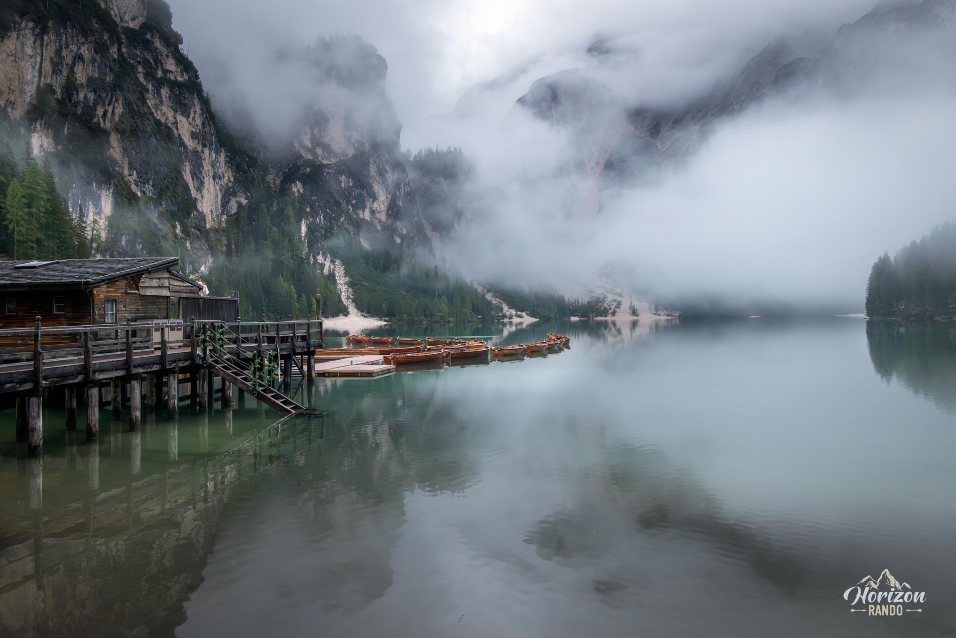
More hikes to do in the Dolomites
Nearby hikes
Printed from www.horizonrando.fr/en/hiking-dolomites/lago-di-braies-loop-hike/