





Dürrenstein Hike
Key facts about the hike
- Difficulty
- Moderate Hikes are rated from very easy to very hard: my difficulty scale
- Duration
- 4h15 Estimated time, short breaks included (photos, water, snacks), picnic not included: how it is calculated
- Distance
- 9.4km
- out and back
- Elevation gain
- 860m
- Type of route
- Out and back
- Maximum altitude
- 2,839 m
- Vertiginous Five levels, depending on how exposed the route is: the levels in detail
- Slightly
- Marked
- Yes
- Popularity
- High
- Start point
- 46.65639, 12.17616
- Activity
- Hiking
Hike overview
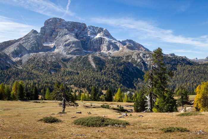
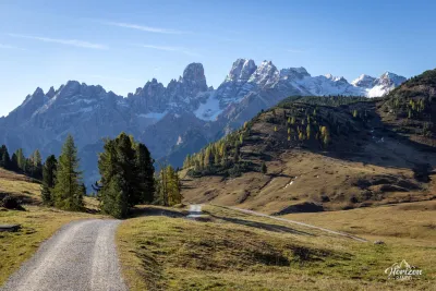
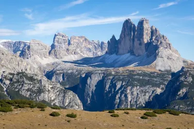
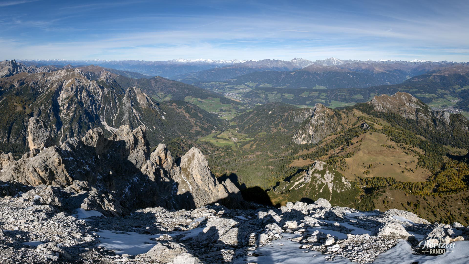
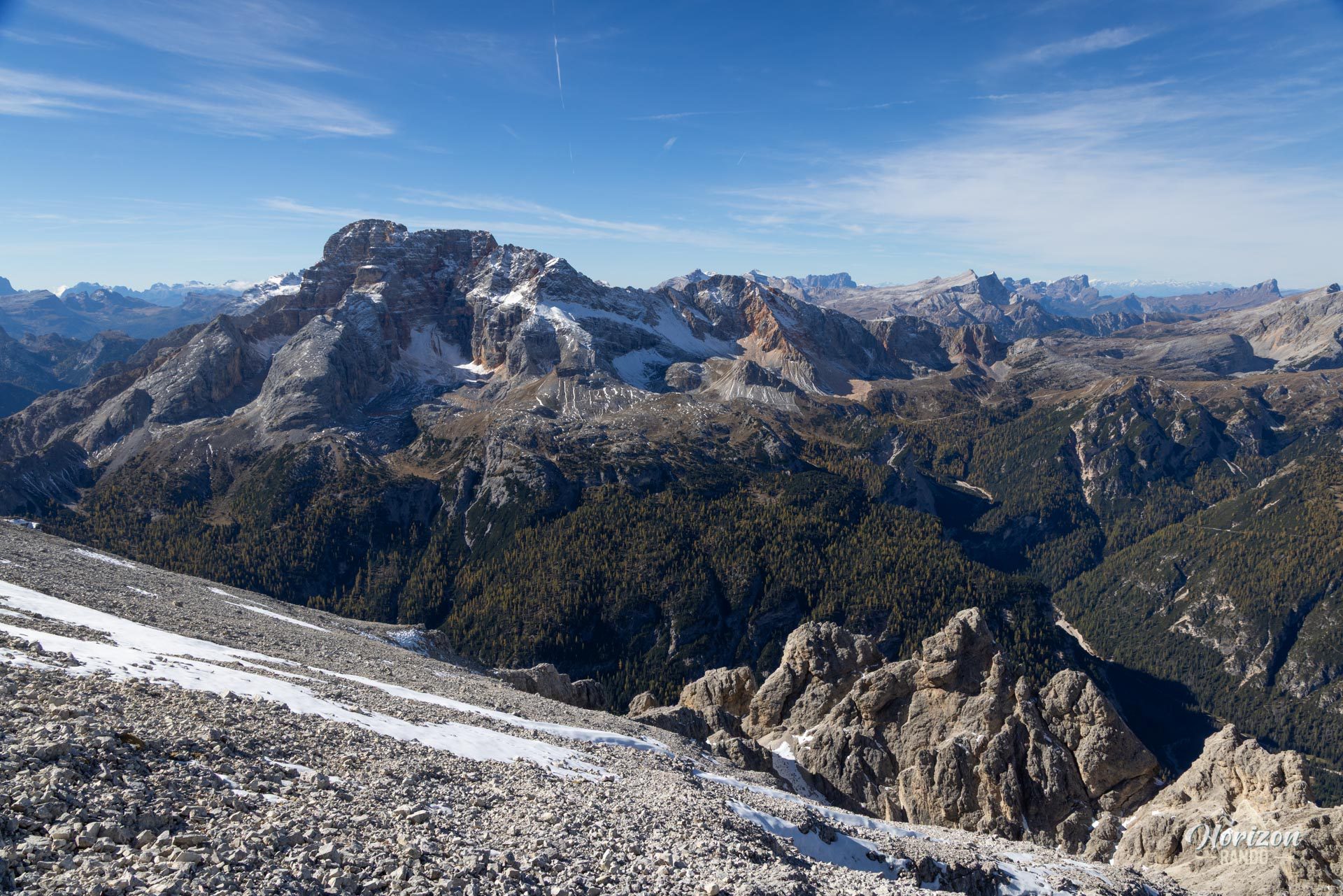
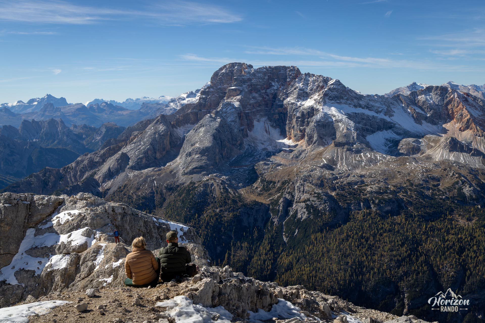
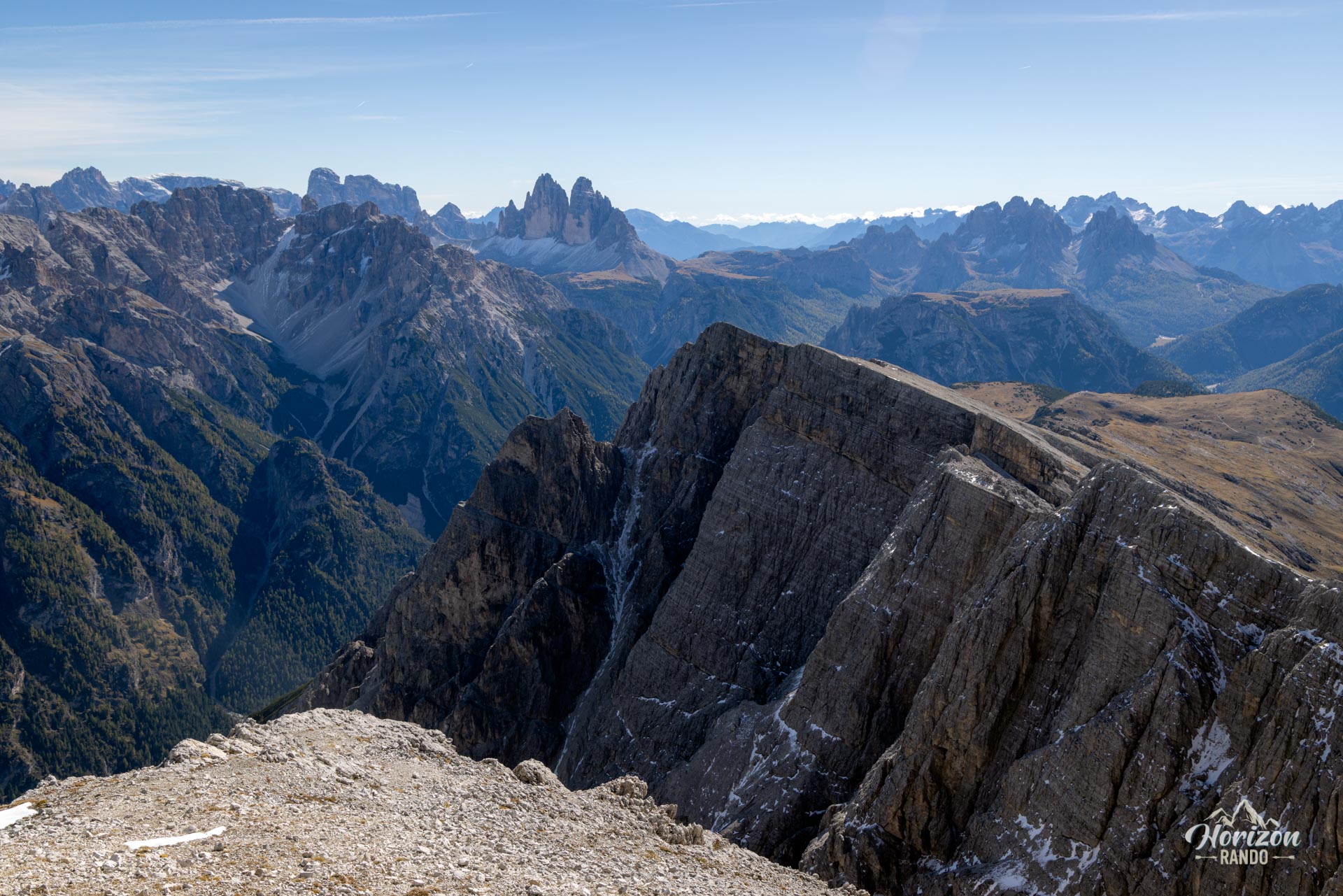
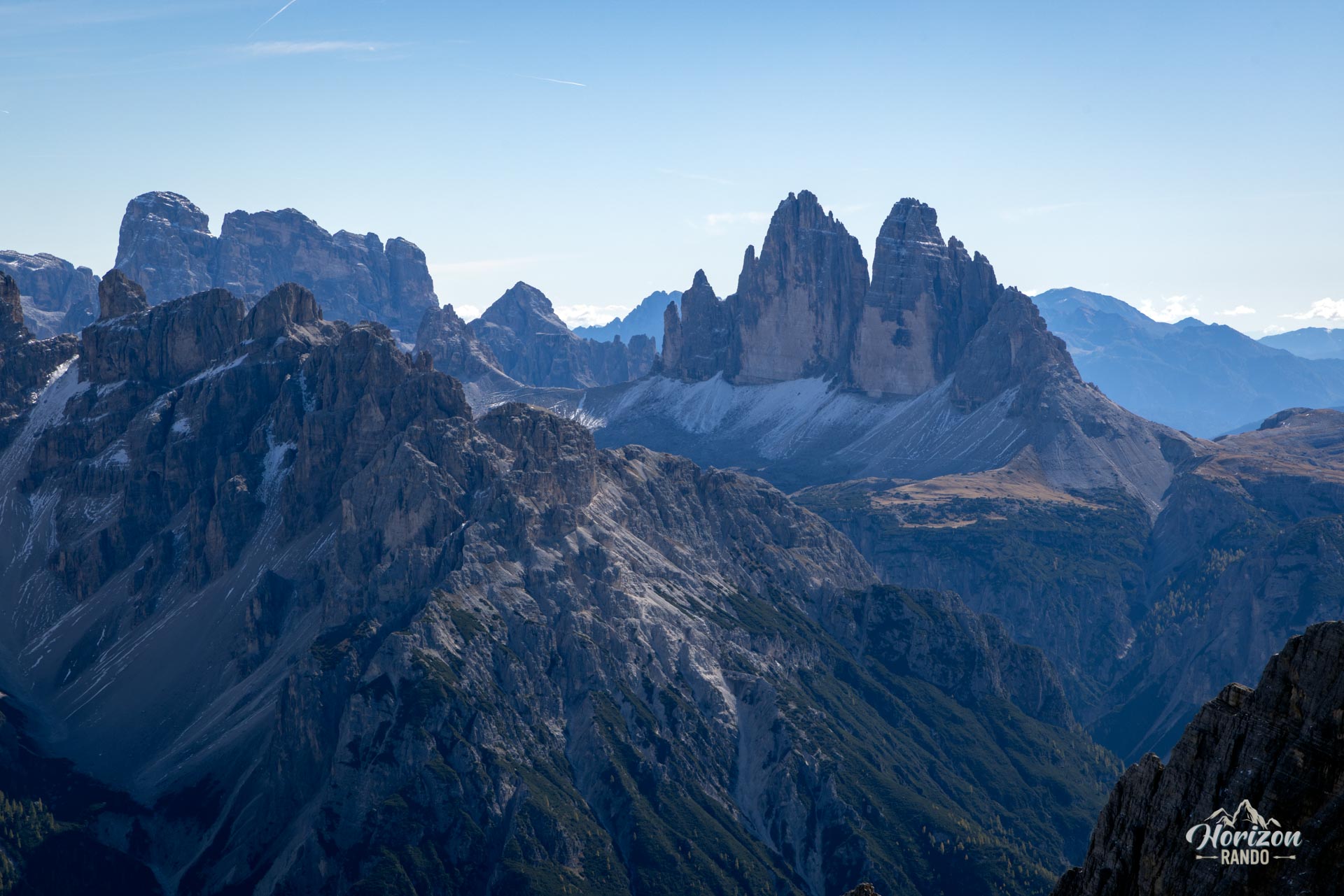
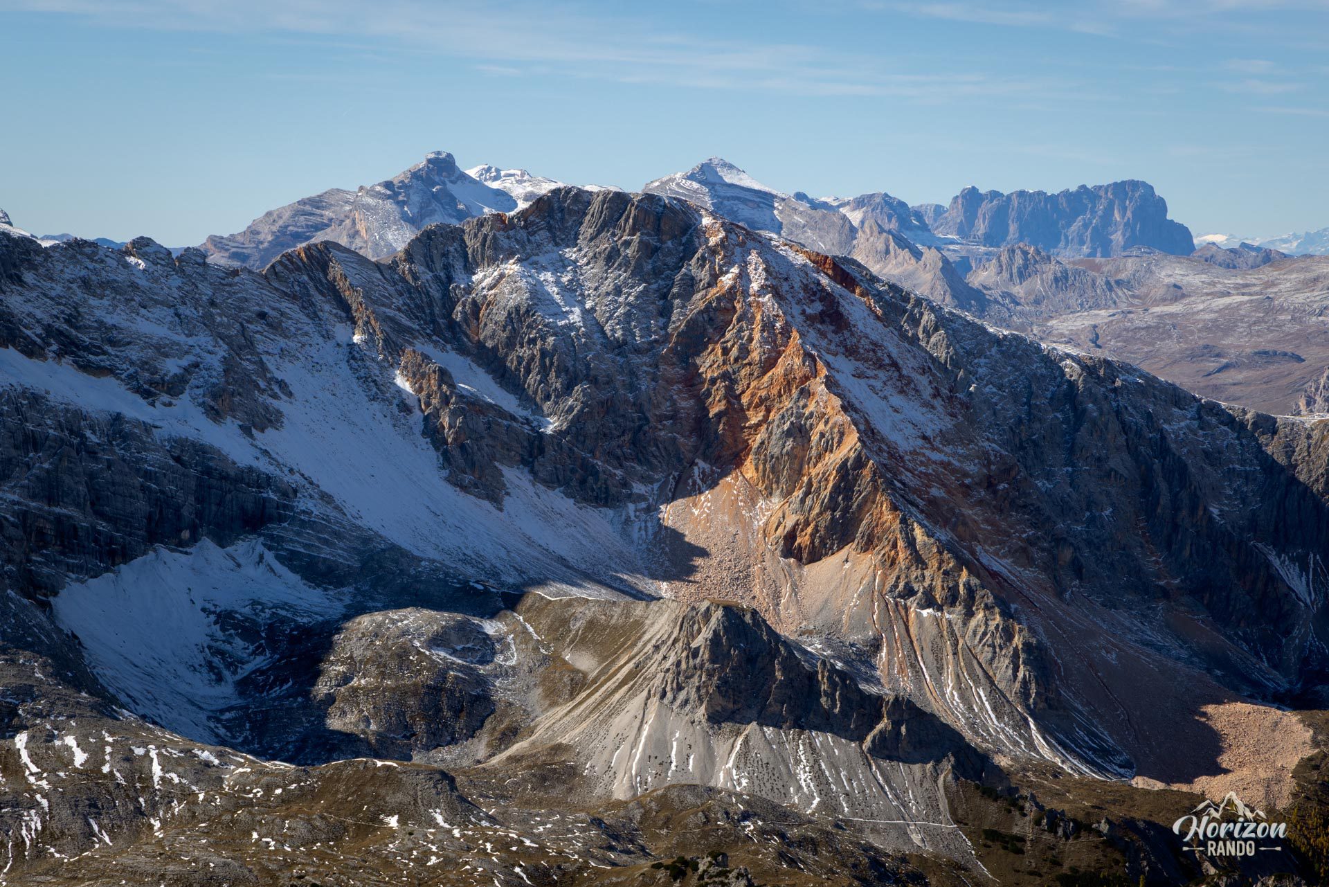
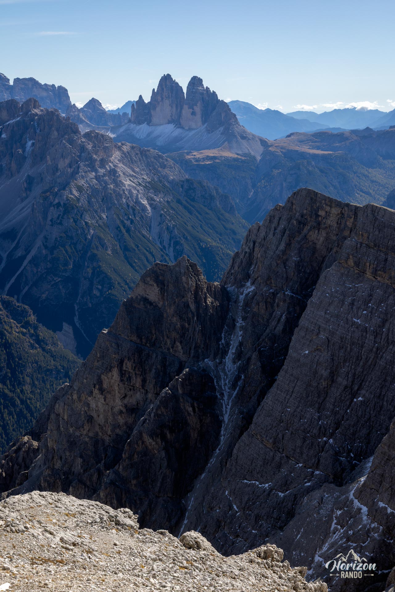
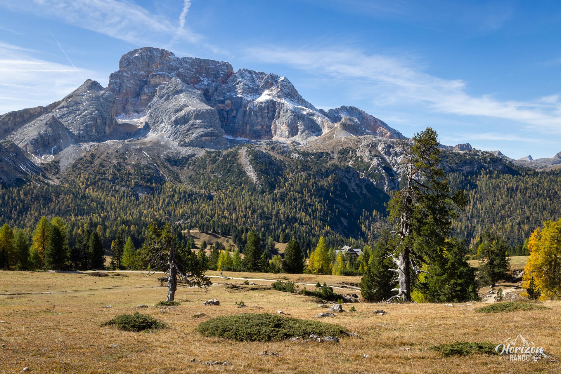
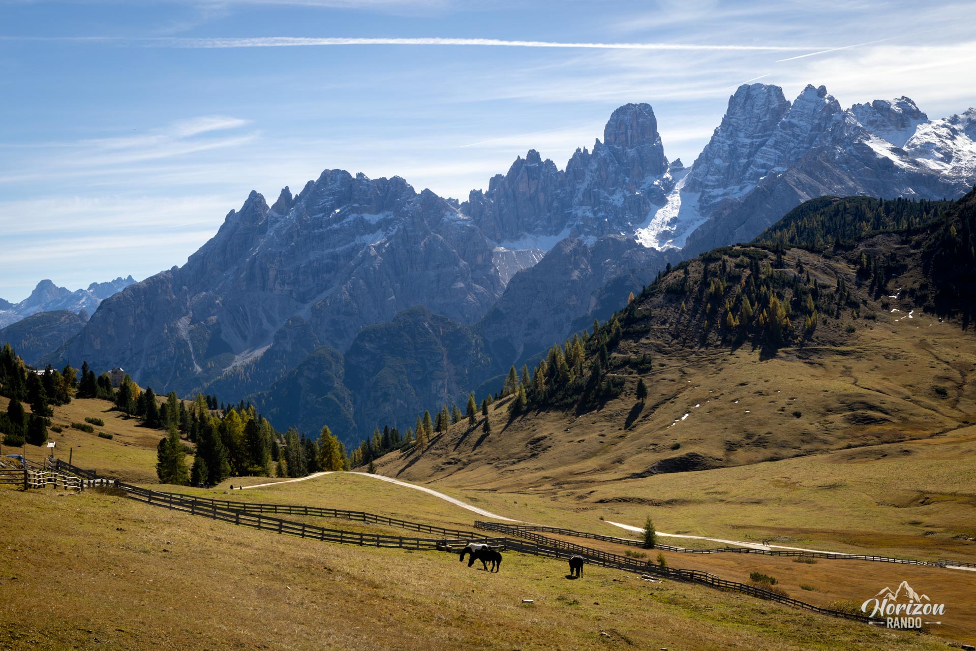
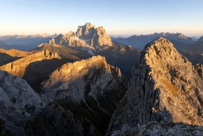
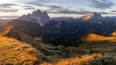
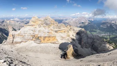
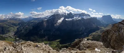
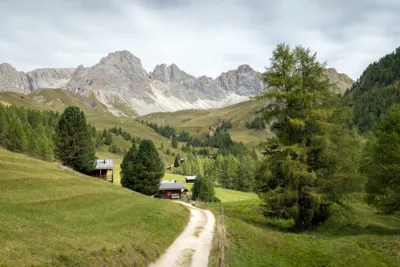
At the heart of the Fanes-Sennes-Braies Nature Park, the Dürrenstein (Picco di Vallandro in Italian) rises to 2,839 meters, overlooking the vast mountain pastures of the Plätzwiese. From the summit, hikers can enjoy a 360° panorama of the Croda Rossa, the Tre Cime di Lavaredo, the Cristallo massif, and the Austrian Alps to the north. This protected valley is set apart from major routes and has limited road access. It enjoys a tranquility and harmony rarely found in the region.
Map and elevation profile of the hike
Dürrenstein Hike
Description and difficulties of the hike
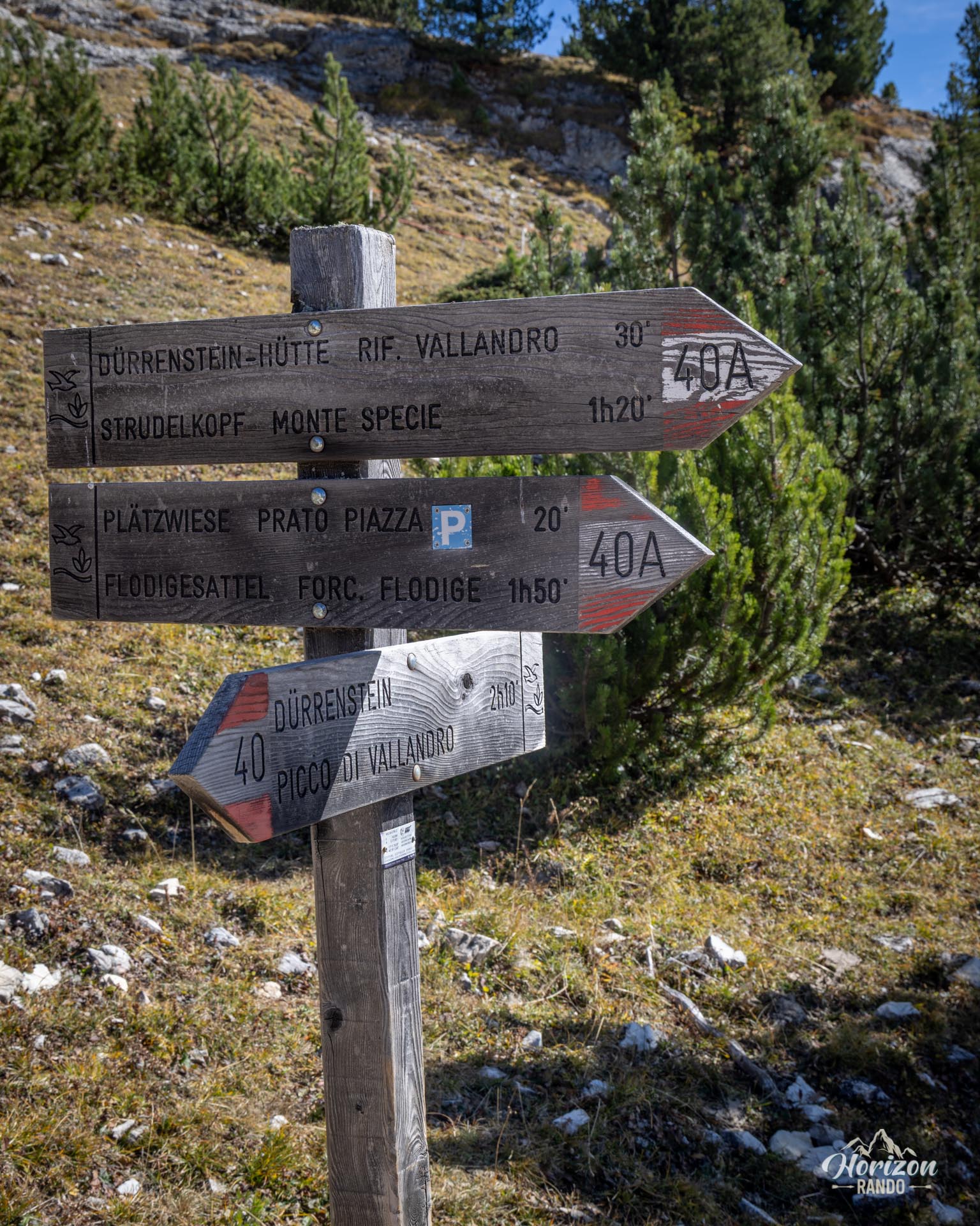
From the Plätzwiese/Prato Piazza parking lot (1,993 m), the trail heads southeast, briefly following the main track. Just past the Berghotel/Rifugio Prato Piazza, a junction on the left marks the start of Trail No. 40 toward the summit—pay attention, as the signpost is easy to miss.
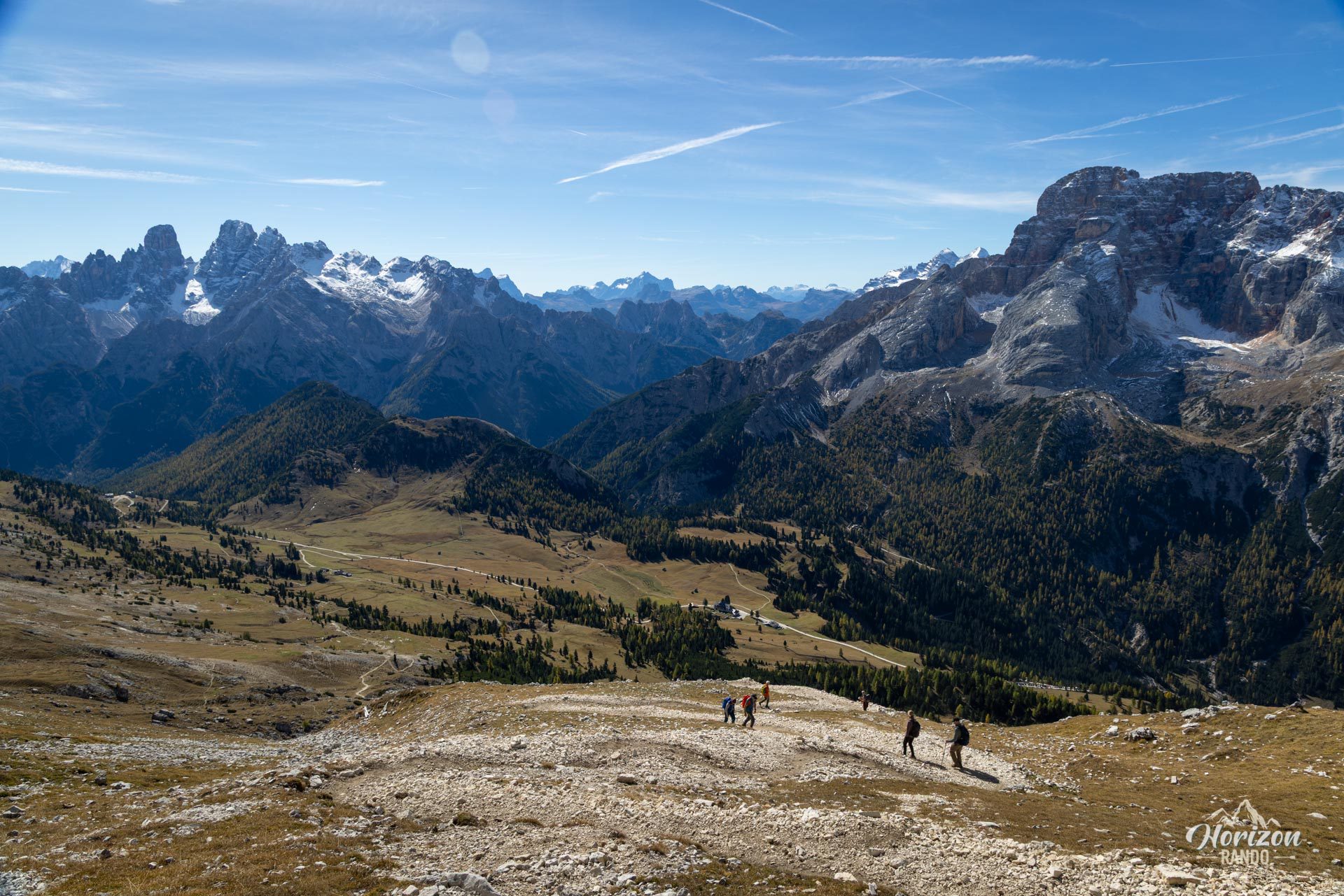
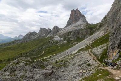
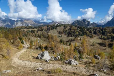
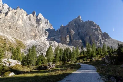
Beyond that point, the route is straightforward: a single, well-marked trail with regular switchbacks climbs steadily along the mountain's southwest flank. Throughout the ascent, the silhouette of Croda Rossa looms large behind you and accompanies the hiker all the way to the summit. The terrain is rocky with no tricky sections but is entirely exposed to the sun; there is no shade anywhere along the route. In summer, it is advisable to set out early to avoid the heat and late-afternoon thunderstorms.
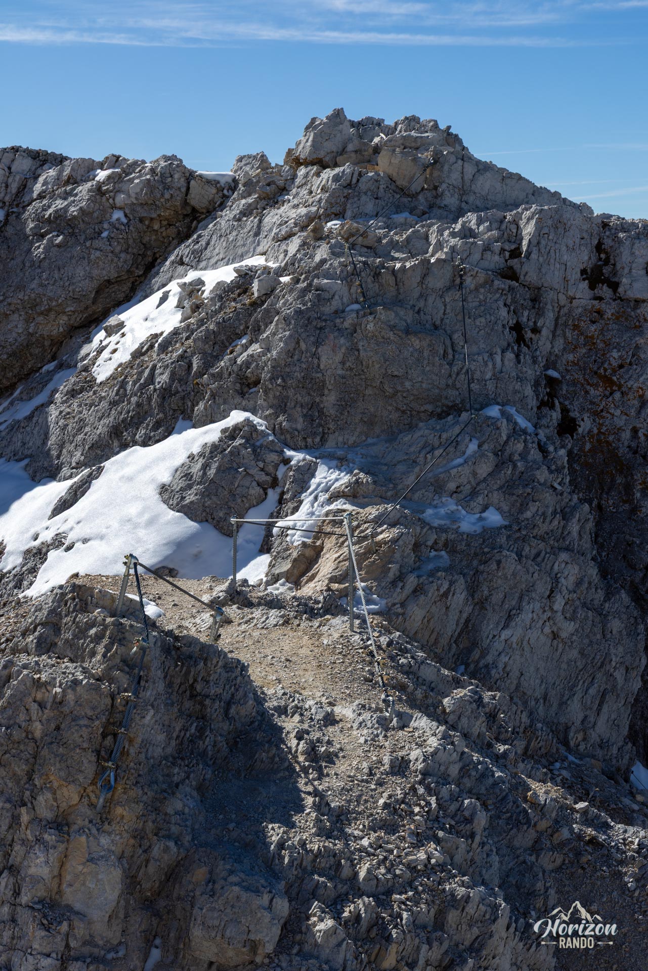
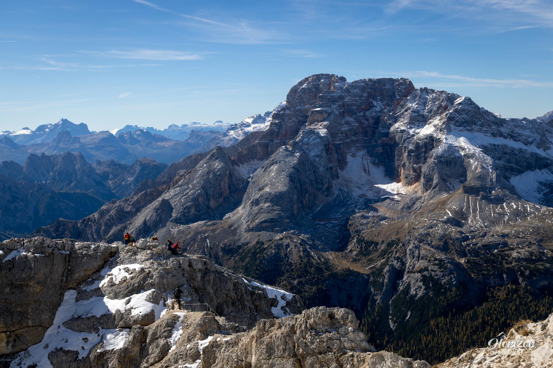
At around 2,700 meters, the trail reaches the ridgeline. The route then crosses very stony terrain to a false summit. This peak is separated from the summit cross by a small gap. This final section is equipped with a handline and allows you to cross a narrow, slightly exposed ridge. The cable secures the passage, but hikers sensitive to exposure may prefer to turn back here. The view is already very open, though the final viewpoint offers an even more complete panorama. The descent follows the same route.
What you'll love
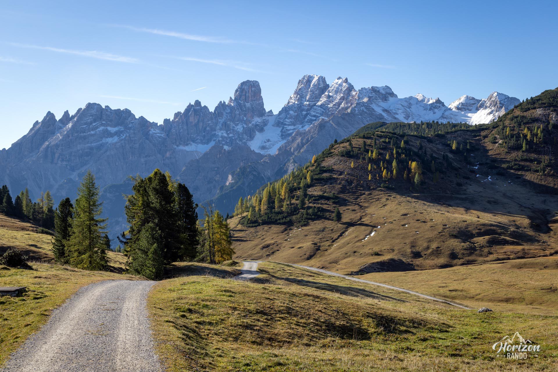
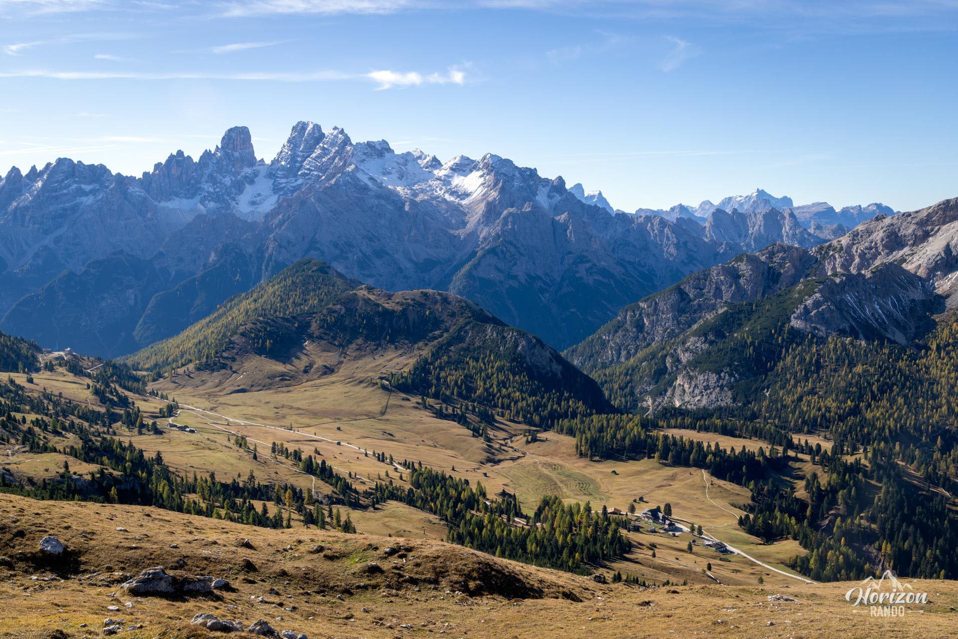
- The 360° summit panorama: Tre Cime, Cristallo, Croda Rossa, the Sesto Dolomites, and, on a clear day, the Austrian Alps to the north.
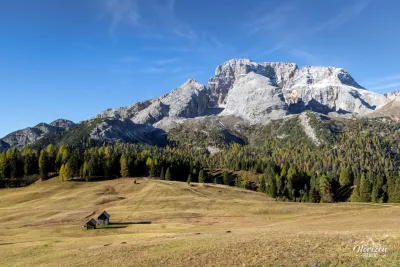
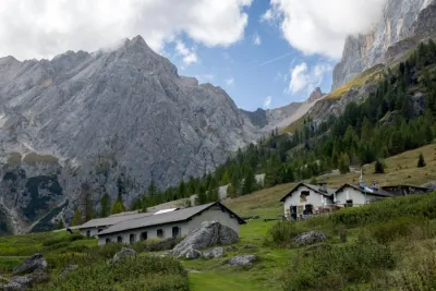
- The unspoiled atmosphere of Plätzwiese: a vast alpine plateau grazed by cows and horses where a rare calm reigns thanks to restricted road access.
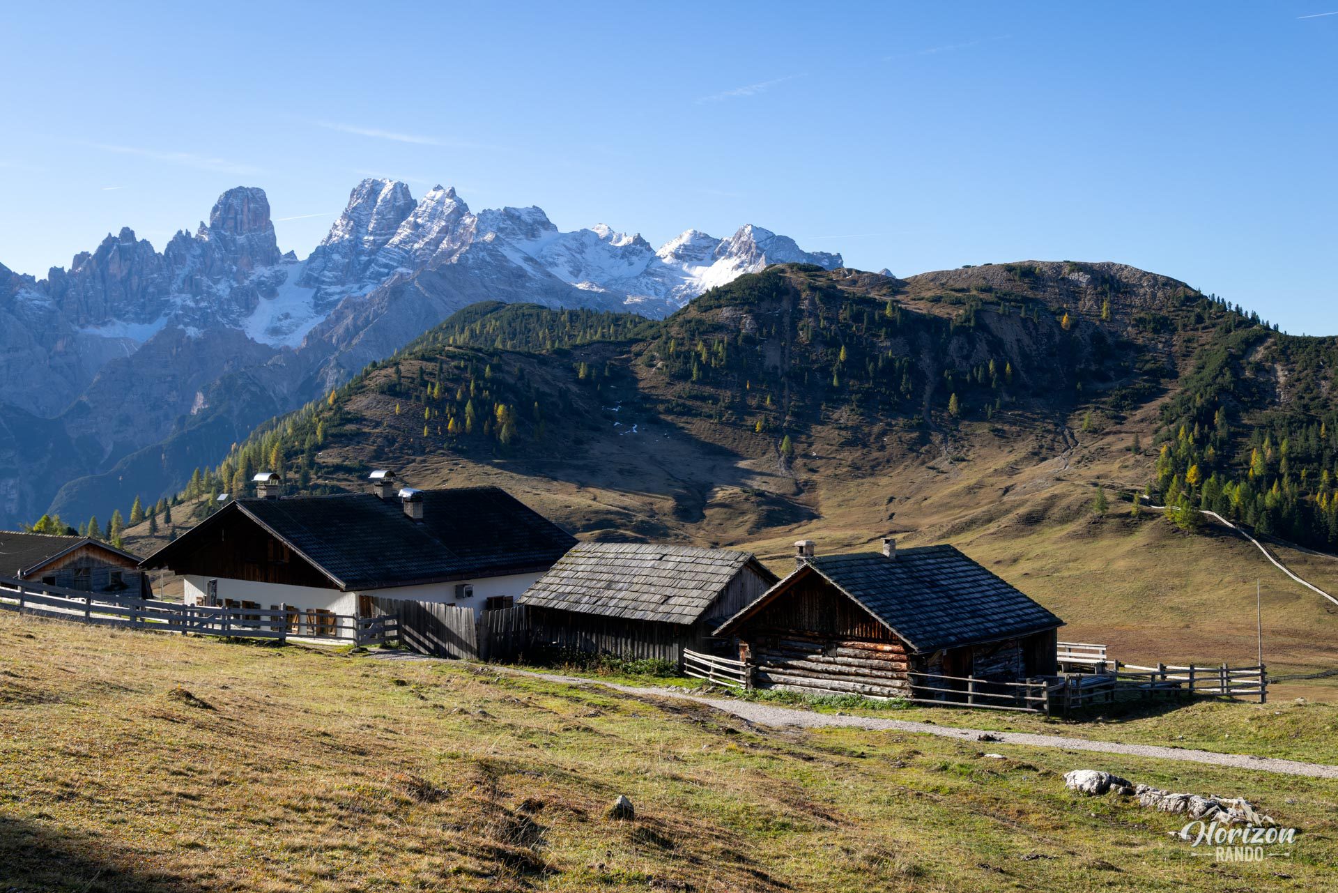
- A gourmet break on the way back: Rifugio Prato Piazza invites you to linger and take in the views of the alpine pastures and magnificent Croda Rossa.
Practical information
Road access
The road connecting Brückele/Ponticello to Plätzwiese (the last 6 km) is a toll road and is subject to restricted hours from early June to early November. Private vehicles are prohibited between 9 a.m. and 4 p.m., and the number of authorized vehicles is capped at approximately 100 per day. The toll can be paid in cash only (indicative rate in 2025: €10). Once the quota is reached, access is available exclusively via shuttle.
Parking
The upper parking lot (Plätzwiese) is free, while the lower lot (Brückele/Ponticello) requires payment. Indicative rates in 2025 are €6 for cars and €12 for motorhomes. The latest information is available on the official Plätzwiese Plateau website.
Shuttle bus
From early June to early November, line 443 runs between Brückele/Ponticello and Plätzwiese every 30 minutes. Schedules are available on sud-tyrol.com.
Motorhomes
Prohibited on the access road. Park at Brückele/Ponticello and take the shuttle.
Best time to go
From mid-June to October. Fall offers stunning colors and fewer crowds. In the summer, leave early to avoid the heat (there is absolutely no shade) and late afternoon thunderstorms.
Photos
See all 17 photos →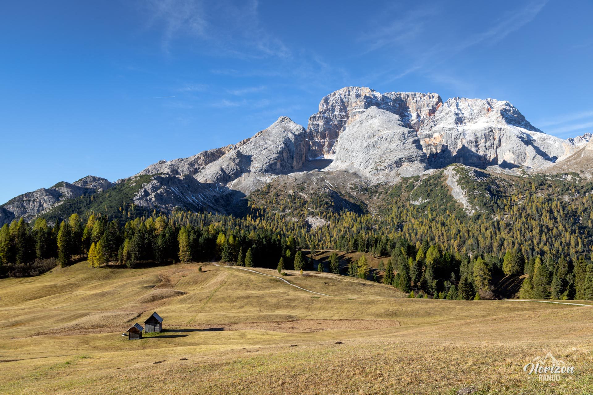
More hikes to do in the Dolomites
Nearby hikes
Printed from www.horizonrando.fr/en/hiking-dolomites/durrenstein-hike/