





Sassolungo Loop
Key facts about the hike
- Difficulty
- Moderate Hikes are rated from very easy to very hard: my difficulty scale
- Duration
- 5h30 Estimated time, short breaks included (photos, water, snacks), picnic not included: how it is calculated
- Distance
- 16.1km
- Elevation gain
- 790m
- Type of route
- Loop
- Maximum altitude
- 2,366 m
- Vertiginous Five levels, depending on how exposed the route is: the levels in detail
- Slightly
- Marked
- Yes
- Popularity
- High
- Start point
- 46.50972, 11.75671
- Activity
- Hiking
Hike overview
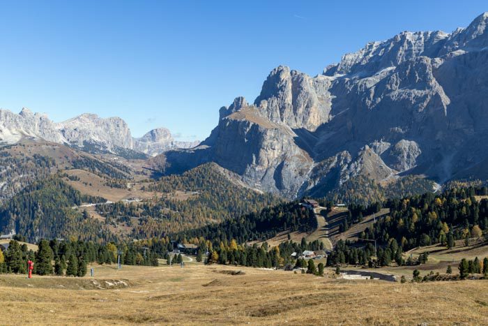
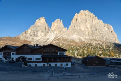
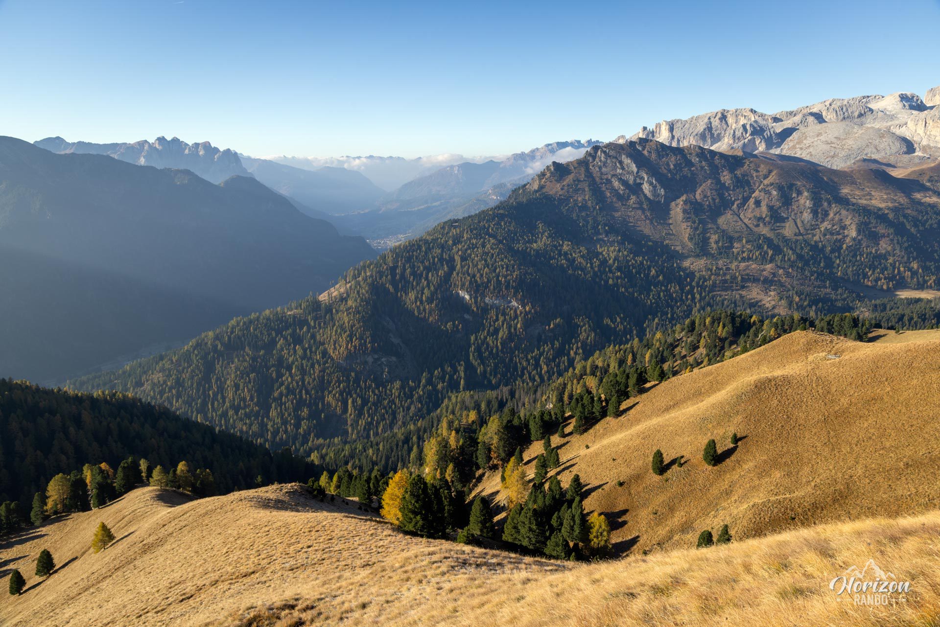
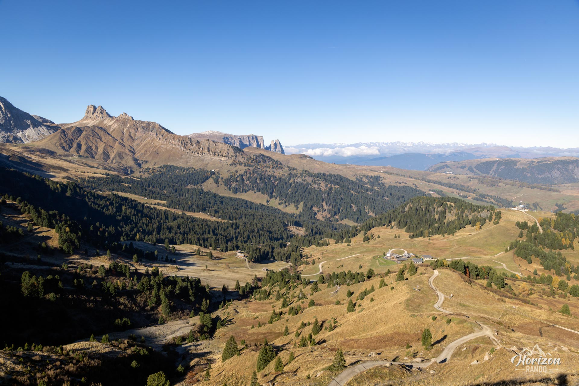
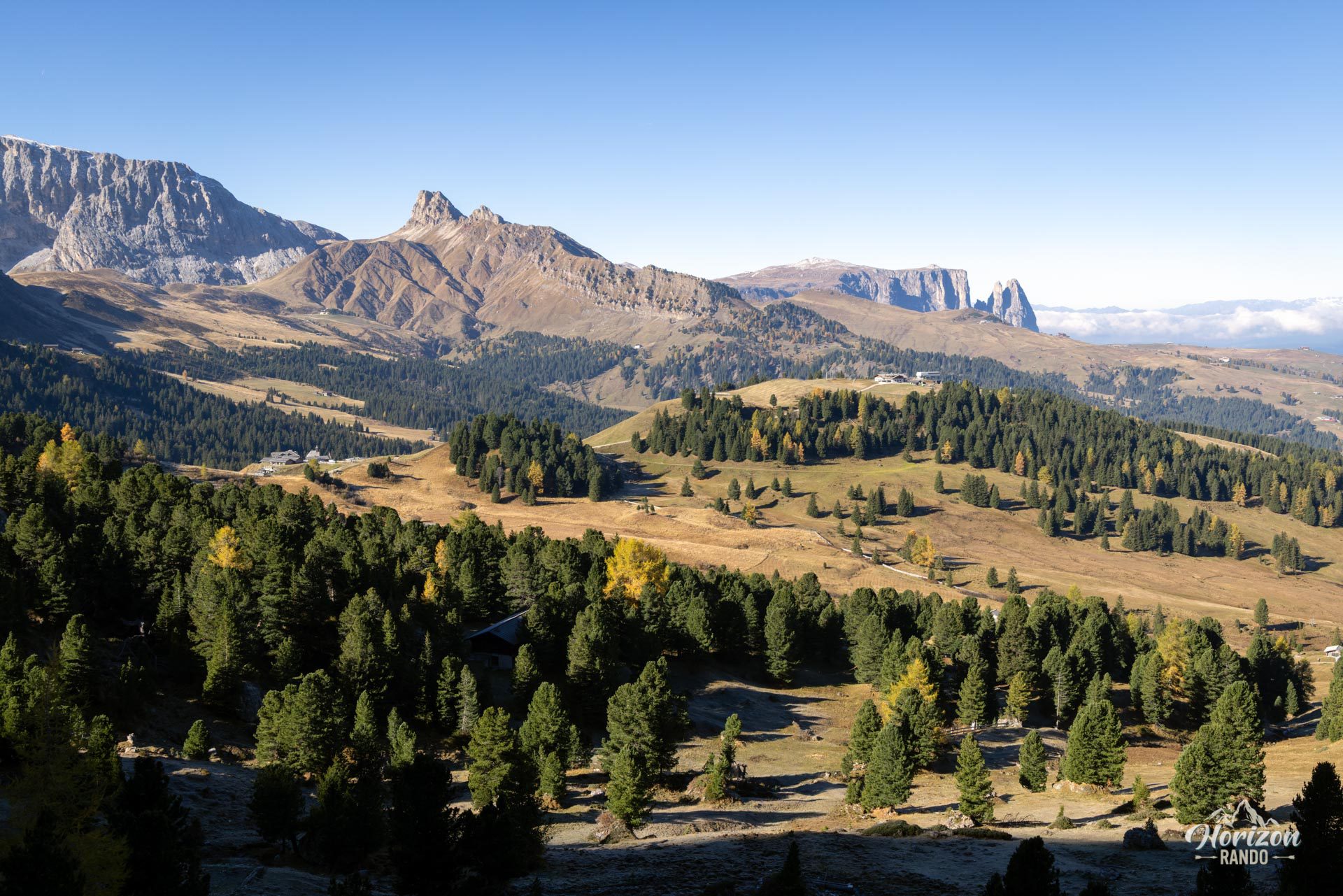
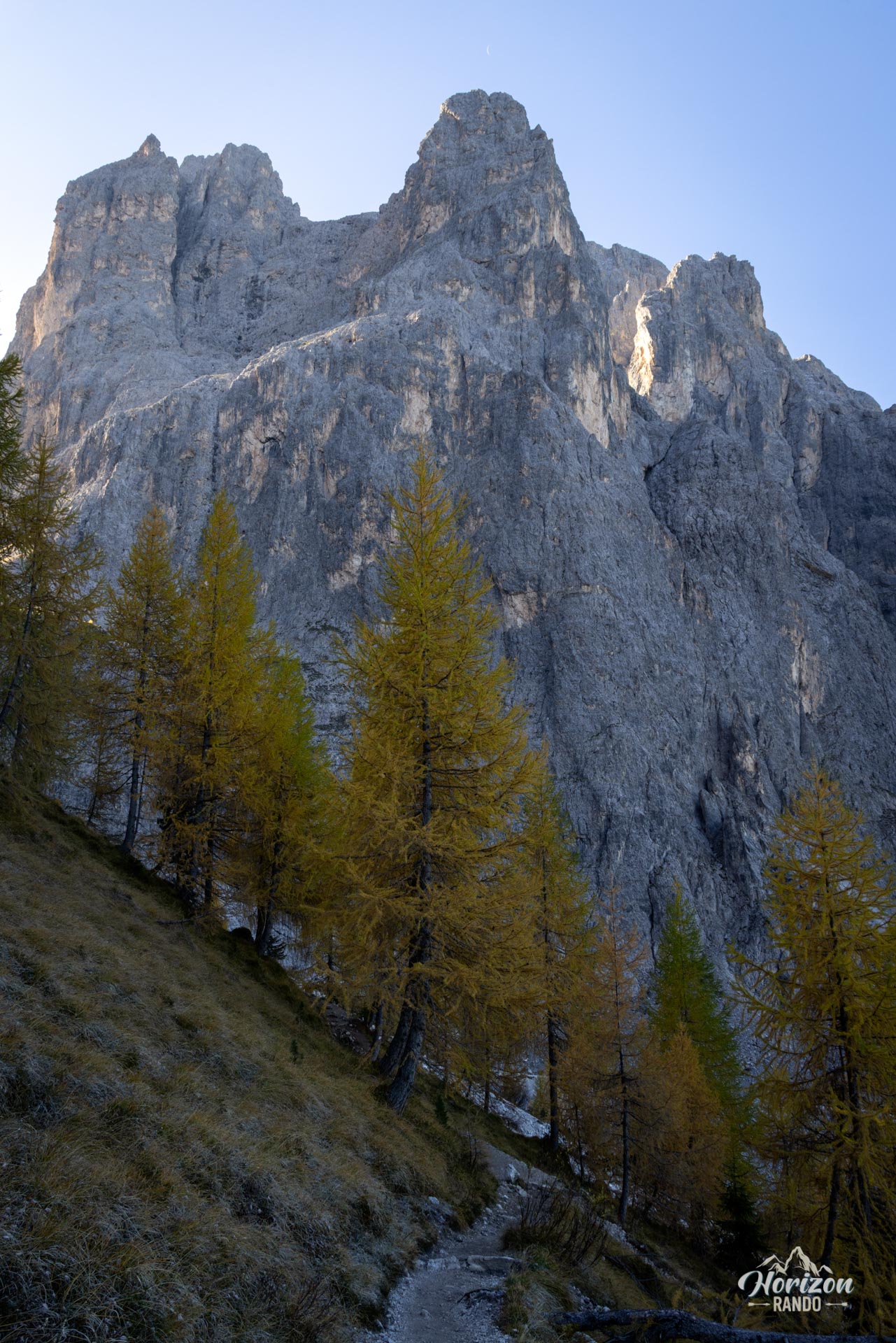
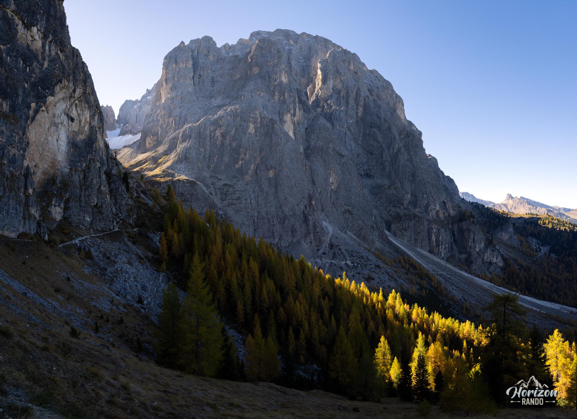
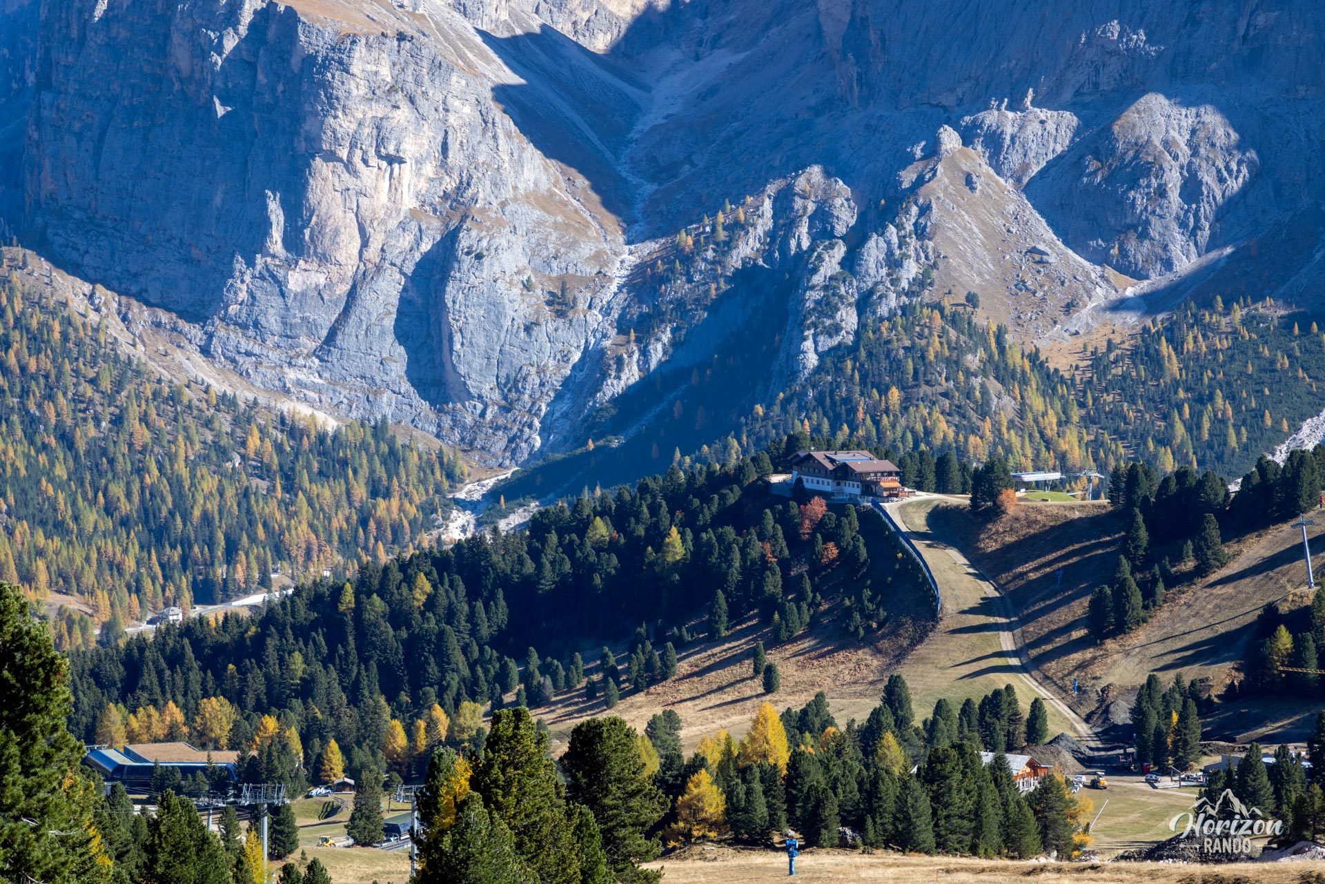
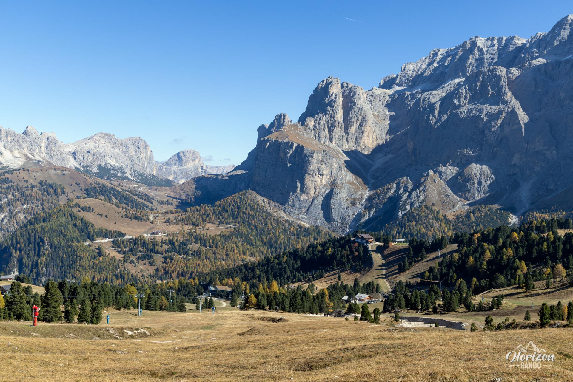
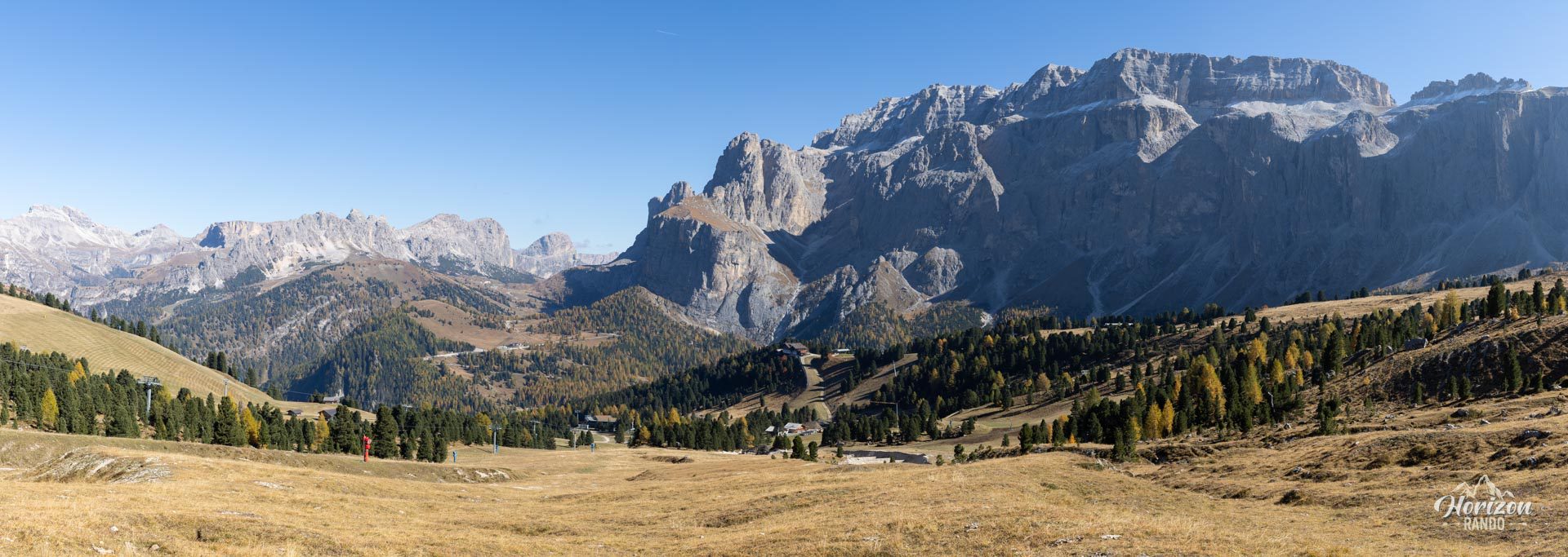
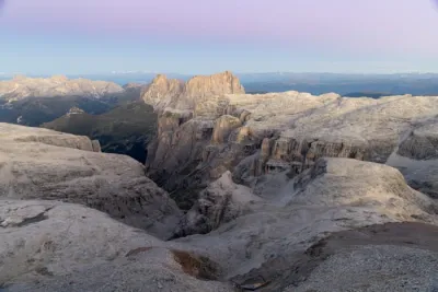
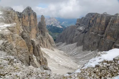
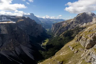
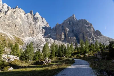
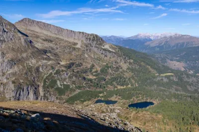
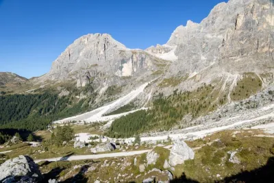
Starting from Passo Sella, the Sassolungo (Langkofel) loop encircles the massif dominated by Sassolungo (3,181 m) and Sasso Piatto (2,958 m). The trail alternates between high-altitude pastures, sections at the base of spectacular vertical cliffs over a thousand meters high, and sweeping views of the Val di Fassa and Alpe di Siusi.
This classic hike is dotted with mountain huts and has no technical difficulty. The only real downside is the crowds, which are heavy during the high season.
Map and elevation profile of the hike
Sassolungo Loop
Description and difficulties of the hike
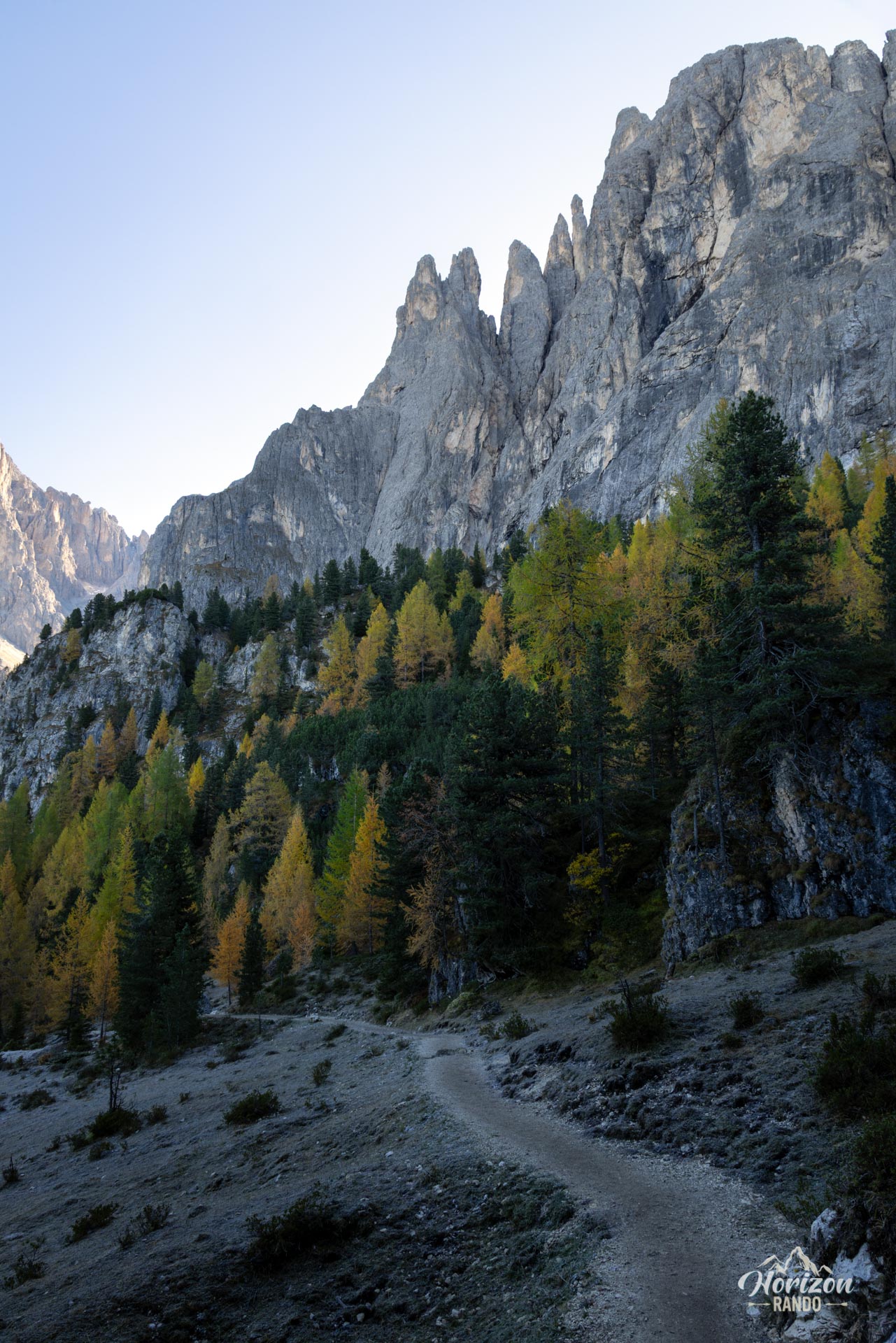
The route presents no technical difficulty. The wide, well-maintained trail is clearly marked, and the elevation gain is spread over more than 16 km, with no steep climbs or long ascents. The difficulty primarily lies in the length of the route.
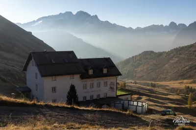
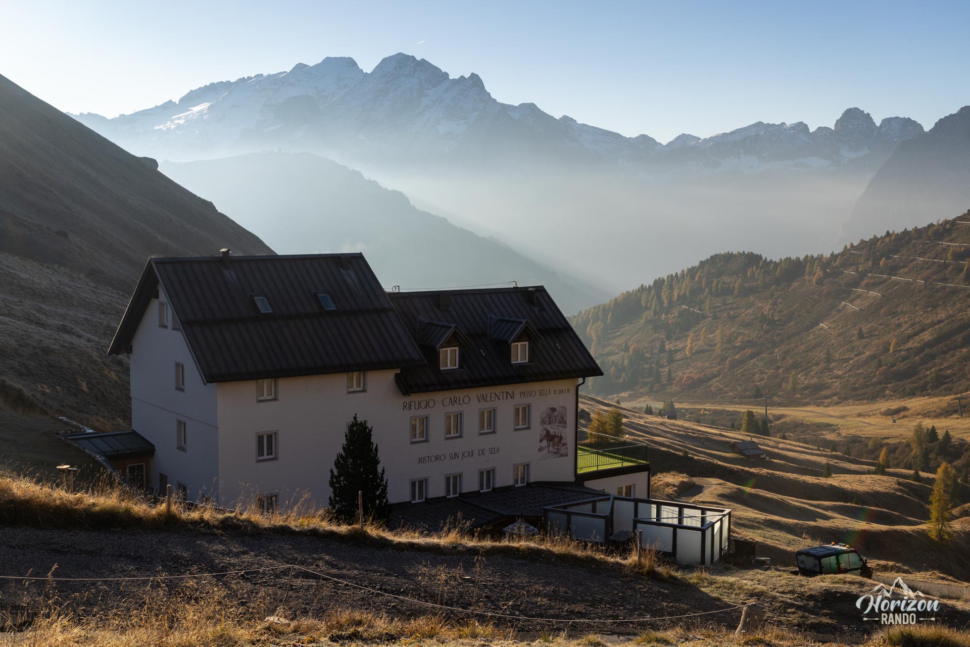
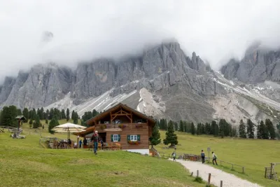
From the large parking lot at Passo Sella, the trailhead is not easy to spot. Head south to reach Trail 557, also known as the Friedrich August Weg. This trail passes by Rifugio Valentini and then Rifugio Salei. The trail climbs gently to Forcella Rodella before dropping toward the pastures of Rifugio Friedrich August. Continue along the mountainside beneath the spires of Sasso Piatto toward Rifugio Sandro Pertini and then Rifugio Sasso Piatto, an excellent spot for lunch.
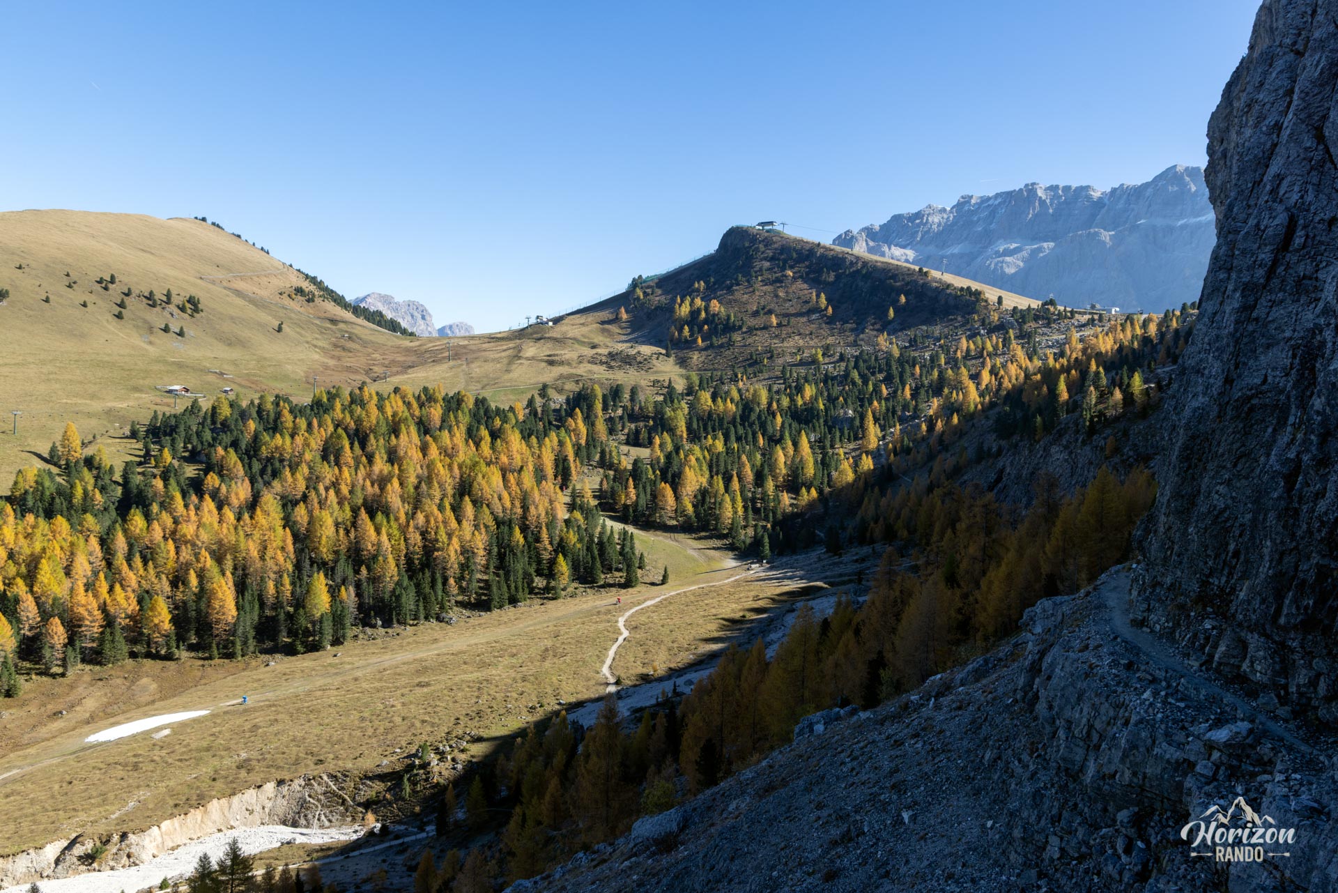
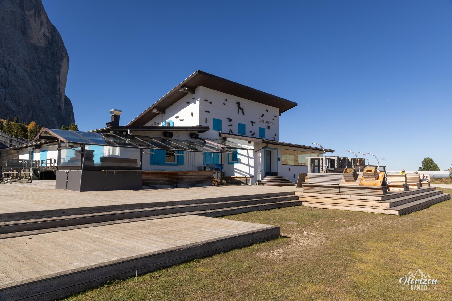
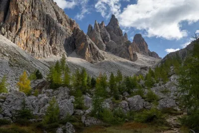
Trail 527 takes over on the descent, skirting the massif on the northwest side with the vast pastures of Alpe di Siusi as a backdrop. Continue on Trail 526 along the north face of Sassolungo where cliffs rise vertically for several hundred meters. The route passes near Rifugio Comici and crosses the Città dei Sassi, a spectacular rocky landscape dotted with Swiss stone pines, before looping back to Passo Sella.
What you'll love
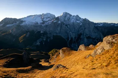
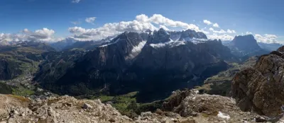
- The varied panoramas: the Marmolada, the Catinaccio group, the Alpe di Siusi plateau, the nearby Sella massif, and Val Gardena.
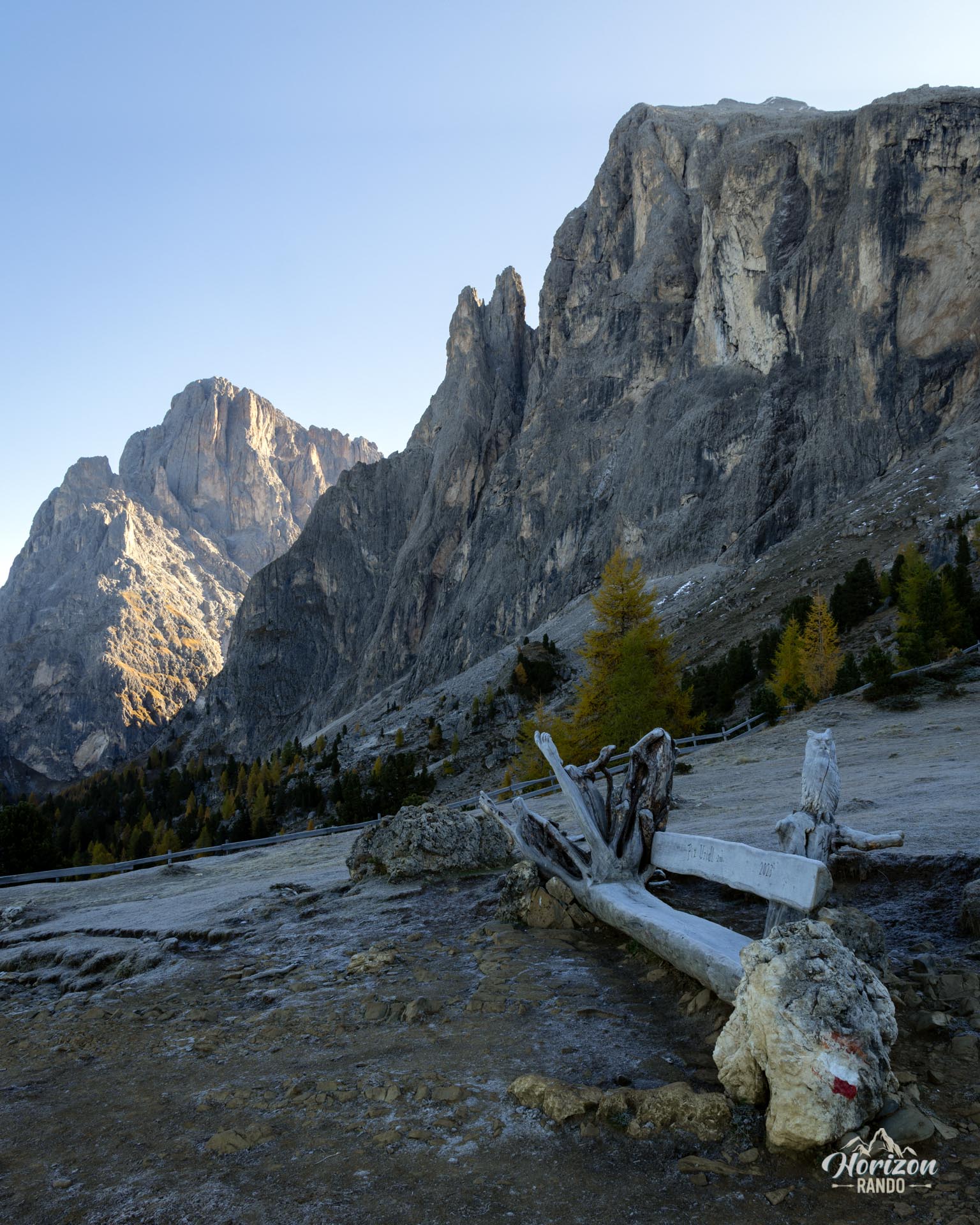
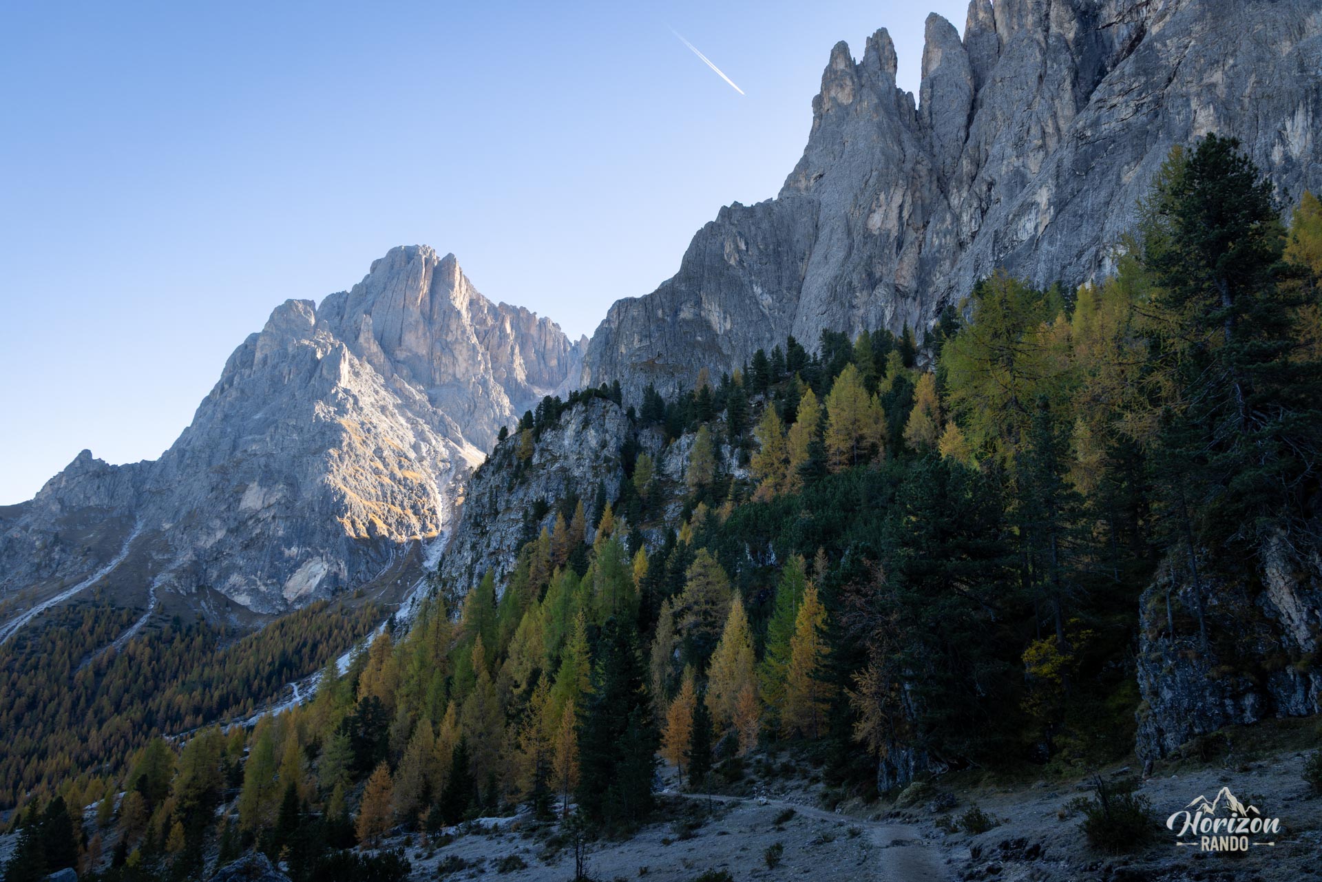
- The vertical cliffs of the north face. On the second half of the route, the walls of Sassolungo plunge sheer for several hundred meters.
- The numerous mountain huts: They are scattered throughout the route and provide ample opportunities to take a break and enjoy gourmet cuisine or restock supplies.
Practical information
Parking
There is a large paid parking lot at Passo Sella. Indicative price in 2025: €4 per hour for the first three hours, €2 per hour from the fourth to the ninth hour, and €0.50 per hour thereafter. There is a height limit of 2.2 m. For taller vehicles, a suitable parking lot is available at Rifugio Valentini, which is slightly off the road. Taking the bus is also a convenient option.
Public Transportation
During the summer season, bus line 471 connects the Val Gardena villages (Selva, Santa Cristina, and Ortisei) to Passo Sella, offering frequent service during peak hours.
Photos
See all 15 photos →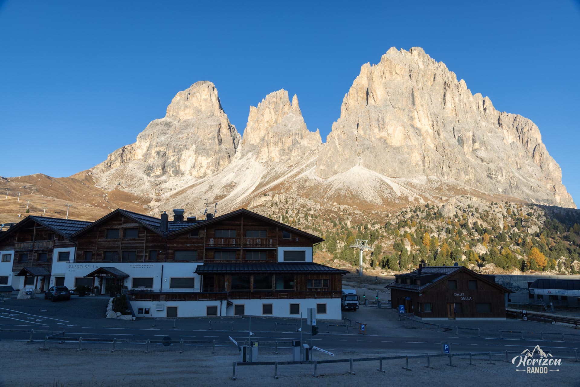
More hikes to do in the Dolomites
Nearby hikes
Printed from www.horizonrando.fr/en/hiking-dolomites/sassolungo-loop-hike/