





Col de la Puina Hike
Key facts about the hike
- Difficulty
- Moderate Hikes are rated from very easy to very hard: my difficulty scale
- Duration
- 3h Estimated time, short breaks included (photos, water, snacks), picnic not included: how it is calculated
- Distance
- 7.3km
- out and back
- Elevation gain
- 610m
- Type of route
- Out and back
- Maximum altitude
- 2,254 m
- Vertiginous Five levels, depending on how exposed the route is: the levels in detail
- Moderately
- Marked
- No
- Popularity
- Low
- Start point
- 46.42834, 12.11386
- Activity
- Hiking
Hike overview
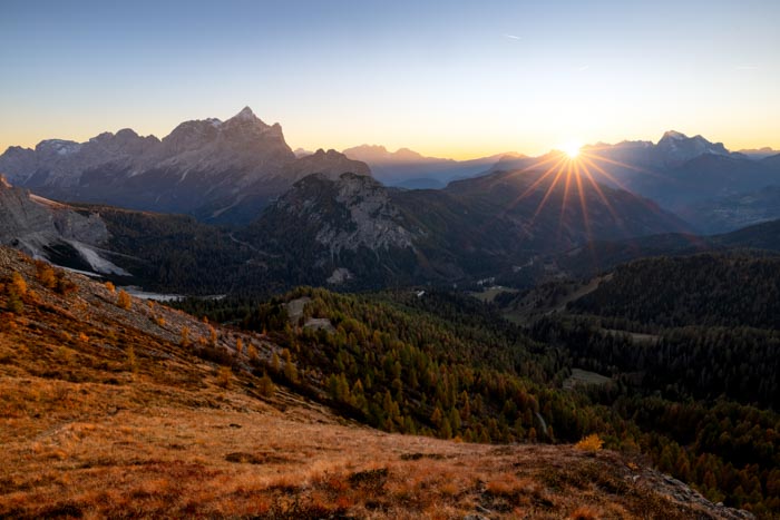
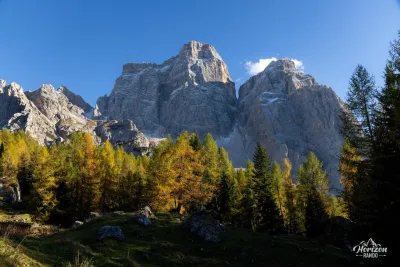
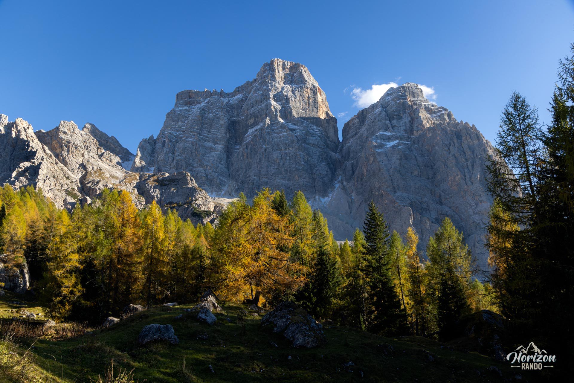
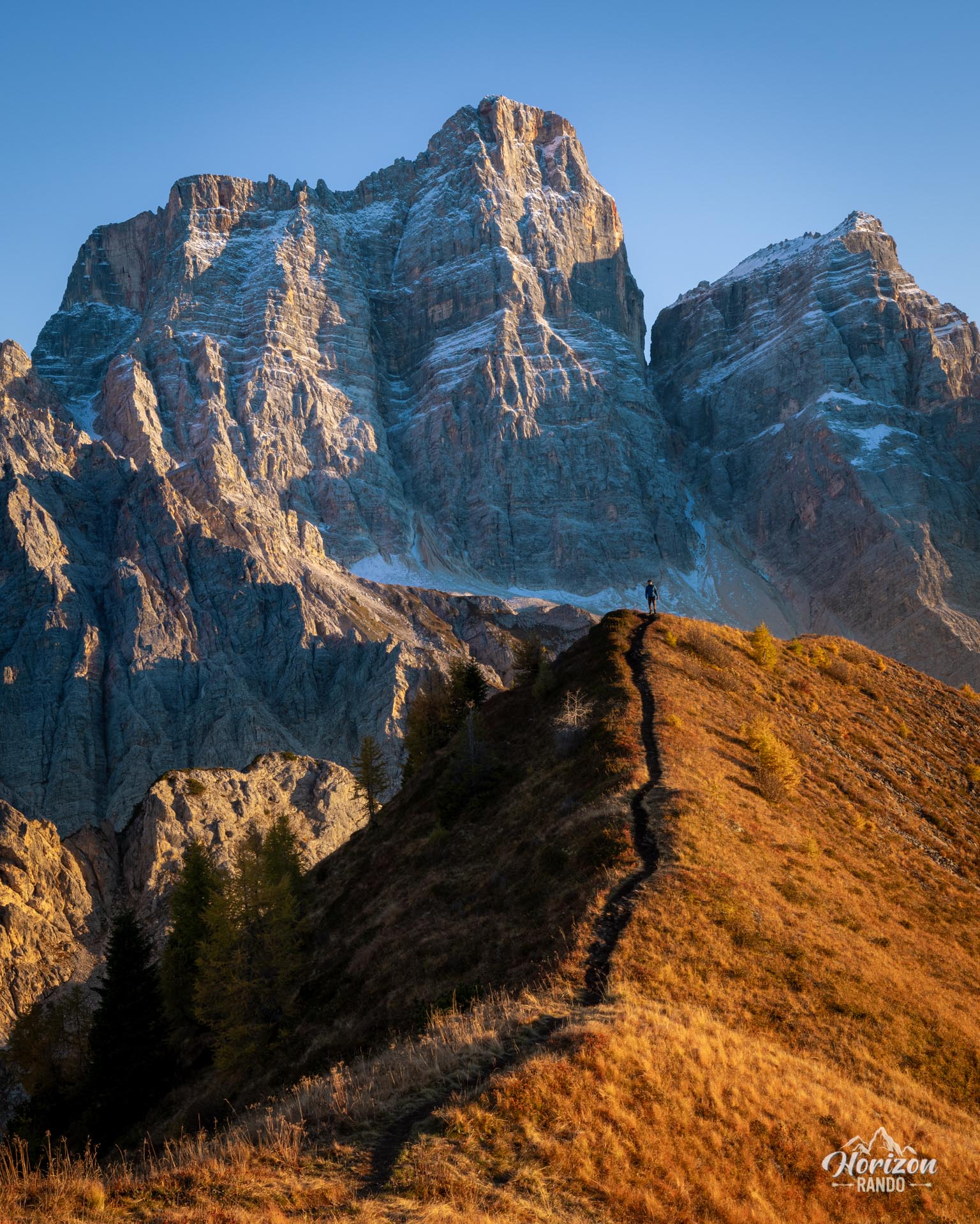
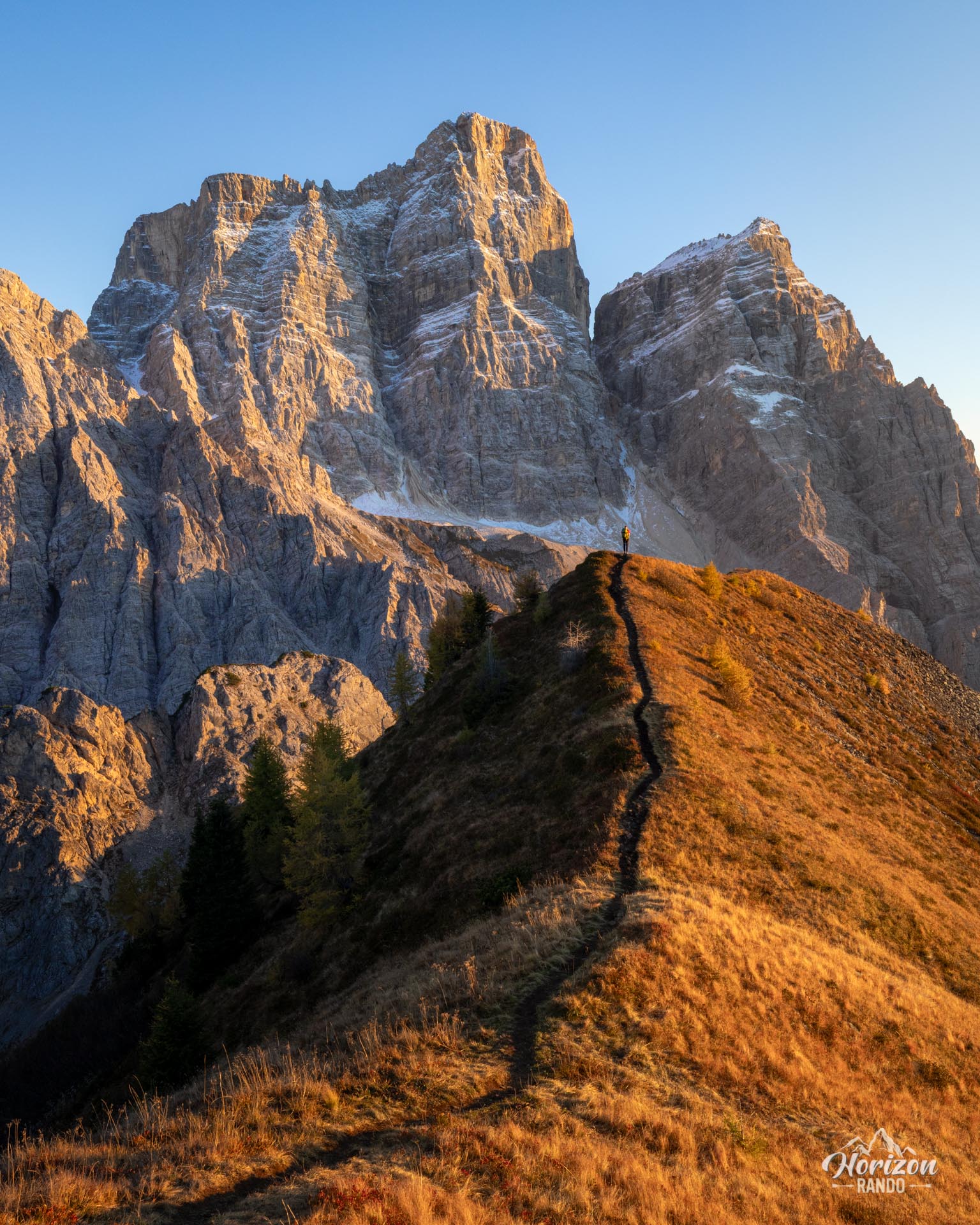
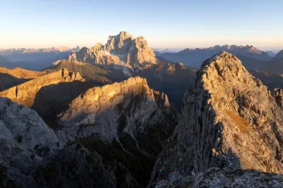
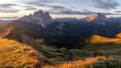
Though the Col de la Puina (2,254 m) is modest in elevation compared to the surrounding giants, it nonetheless occupies a privileged position. Facing the north face of Monte Pelmo, the Col de la Puina offers one of the most beautiful views in the region.
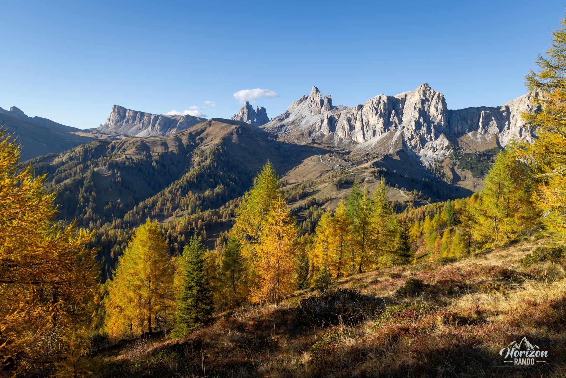
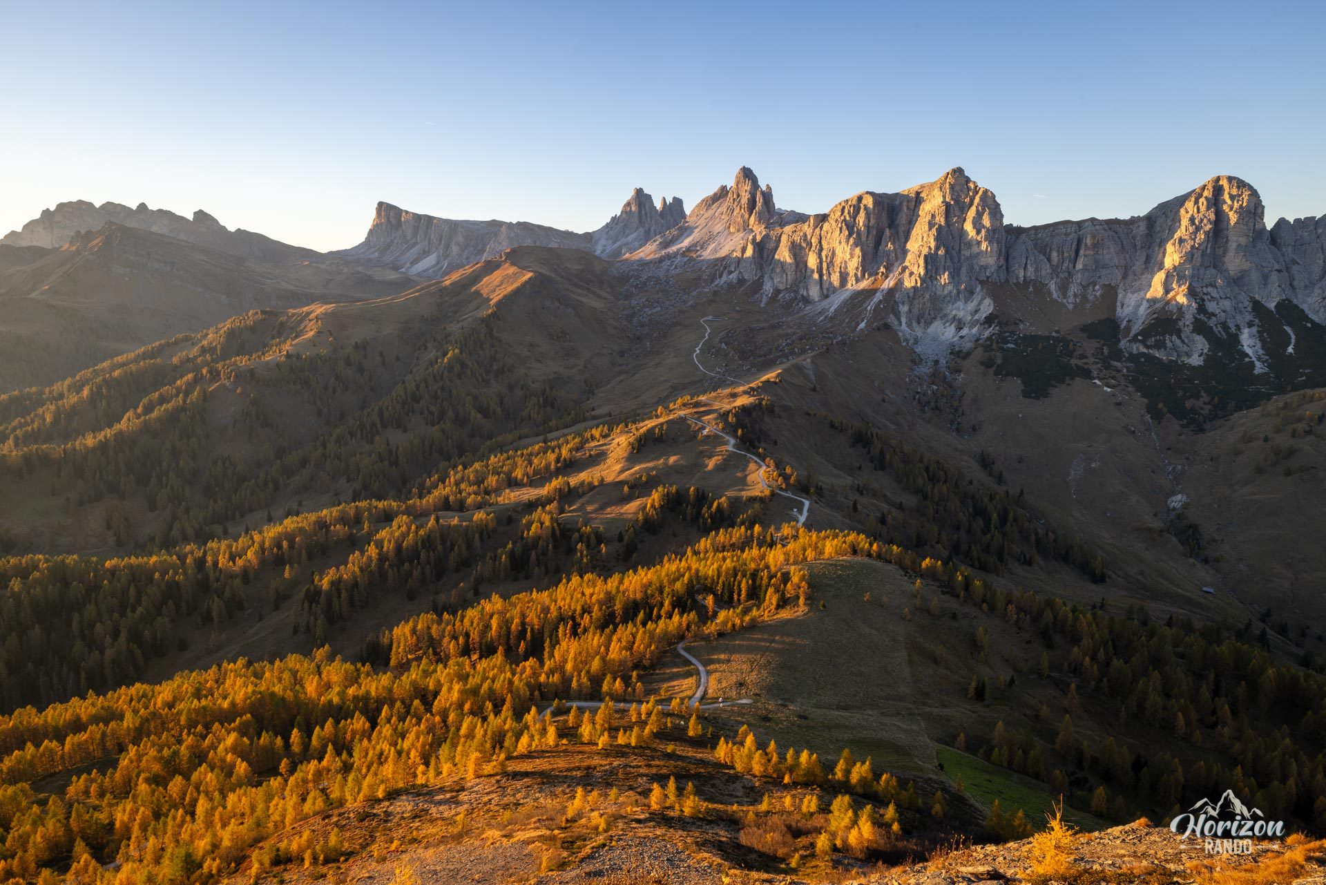
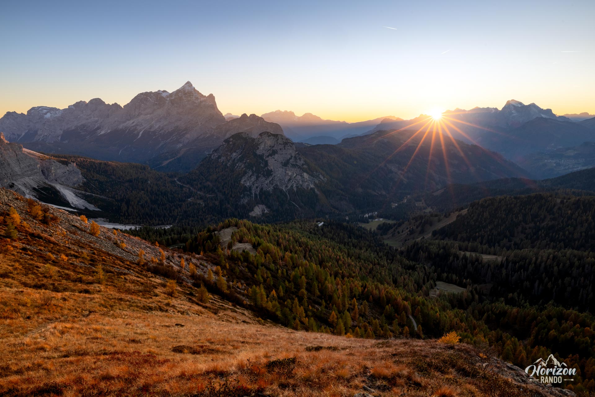
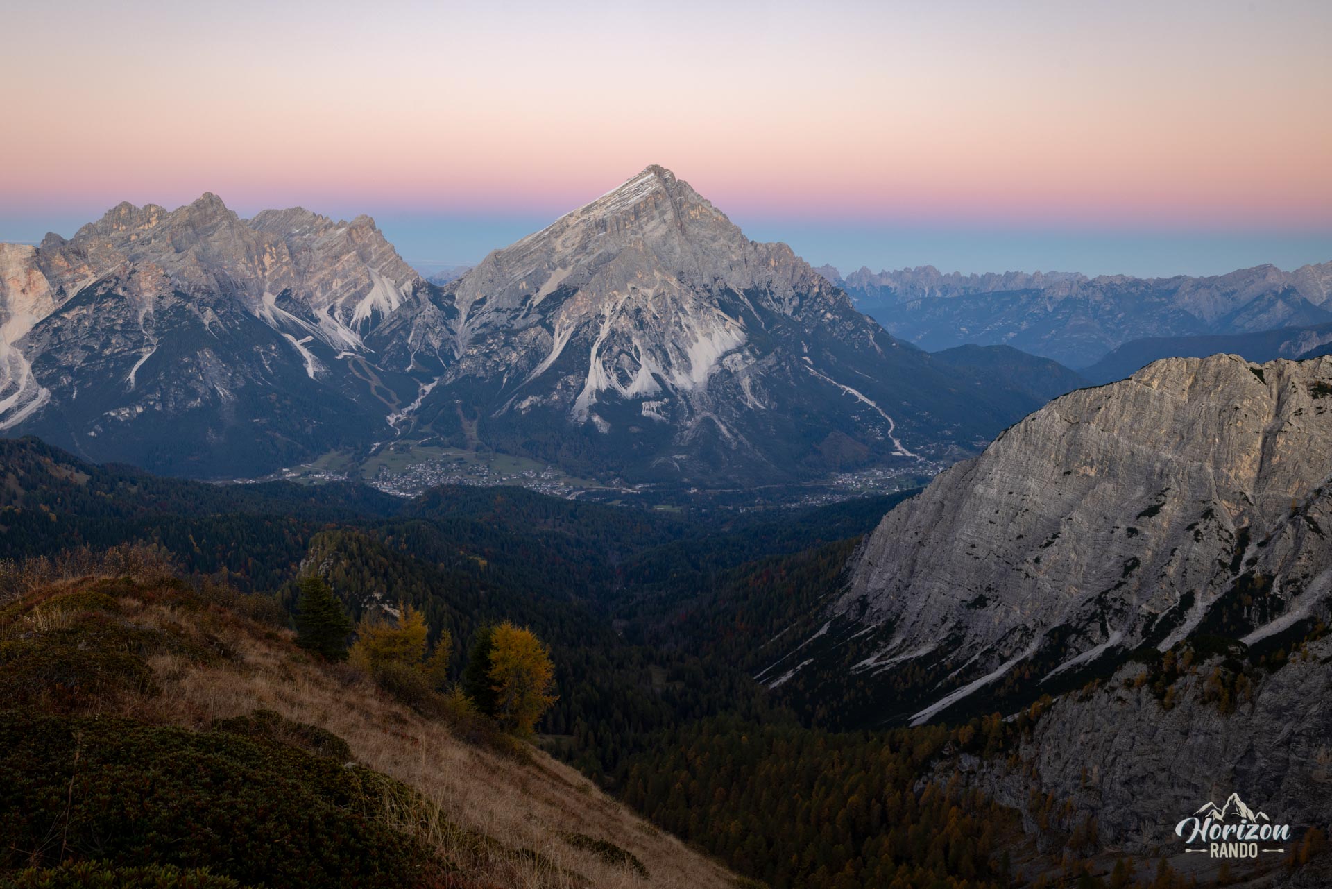
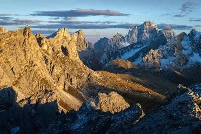
The short route begins with a wide, vehicle-accessible trail that leads to the Rifugio Città di Fiume. Then, an unmarked path climbs through alpine meadows to the summit. This rarely visited trail reveals a 360° panorama of some of the greatest peaks in the Dolomites: the nearby Pelmo, as well as the Antelao, Civetta, and Marmolada.
Map and elevation profile of the hike
Col de la Puina Hike
Description and difficulties of the hike
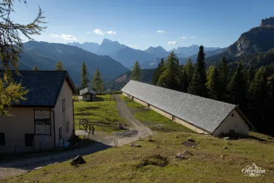
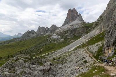
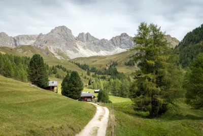
From the parking lot located at a bend in the SP251 between Selva di Cadore and Val di Zoldo, take trail no. 467, a wide track that steadily climbs through the forest to Rifugio Città di Fiume (1,917 m). This section takes about 45 minutes to complete. This first section is easy, well-marked, and poses no navigation problems.
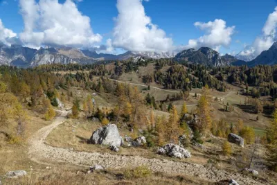
Continue along the trail a few hundred meters past the refuge to a flat area where the fork toward Col de la Puina is located. A faint, unmarked path branches off to the right into the meadows. This spot is easy to miss, so be sure to consult the GPS track.
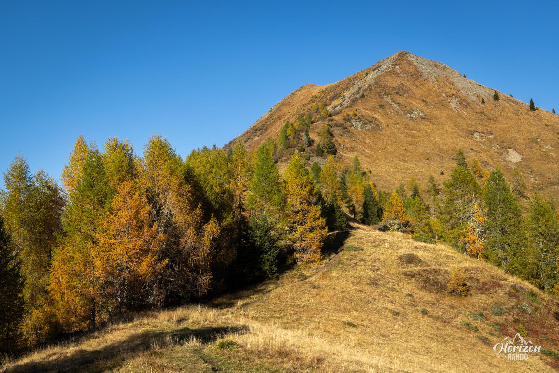
The slope gradually steepens before becoming distinctly steep at the end of the ascent. A few switchbacks lead to the secondary summit. Then, a grassy ridge leads to the summit cross. While the final section is not exposed, the sidehill is pronounced and progress can be tricky in wet weather or when there is residual snow. The return follows the same route.
What you'll love
- The 360° summit panorama: Pelmo dominates the foreground, and the view extends as far as Antelao, Sorapiss, Civetta, and Marmolada.
- The excellent effort-to-reward ratio: less than three hours of hiking for a view that rivals that of much more challenging peaks.
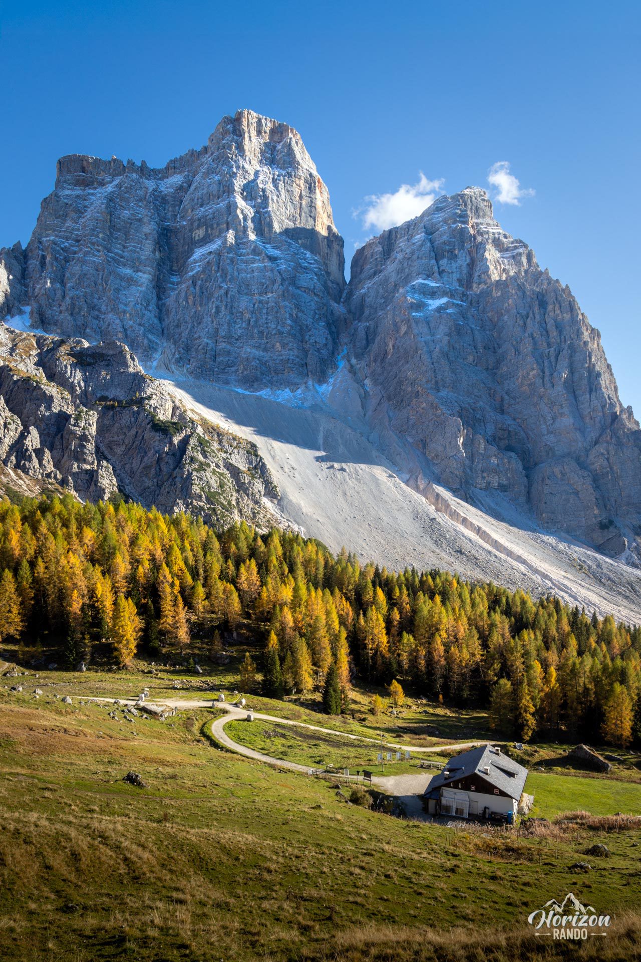
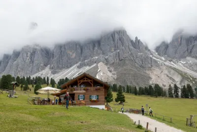
- The Rifugio Città di Fiume: ideally located at the foot of Pelmo, it's a perfect spot for a break before or after the final ascent.
Practical information
Parking
Available in several small lots along the SP251. The trailhead is marked "Rifugio Città di Fiume".
Best time to go
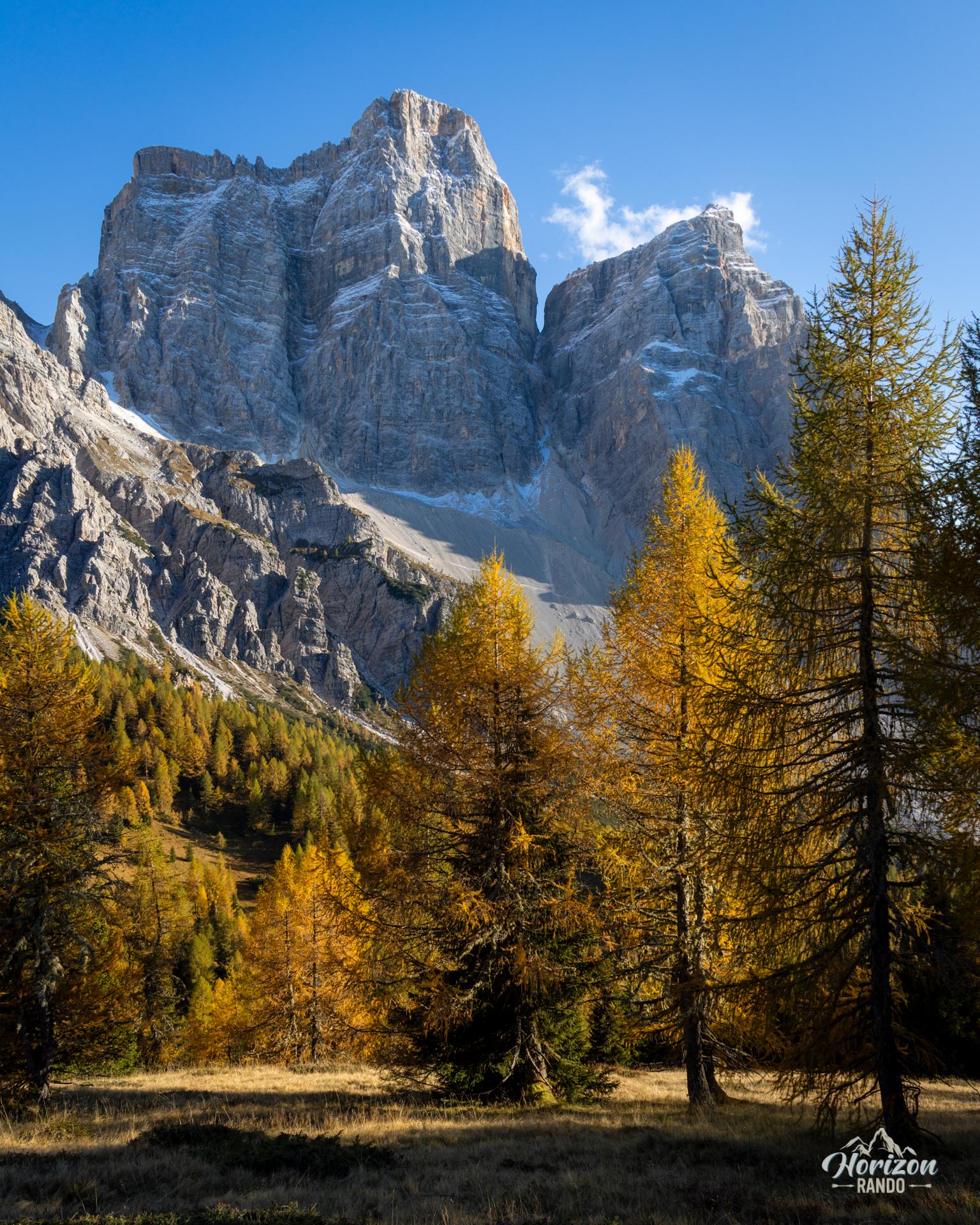
From mid-June to October. The rifugio is generally open from late June to mid-September. In autumn, the larch trees turn golden starting in the second half of October, a particularly beautiful season for this hike.
Navigation
Trail No. 467 is well-marked all the way to the refuge. Beyond that point, however, the path to the summit is neither marked nor maintained, so be sure to bring a GPS track or a detailed map.
Photos
See all 11 photos →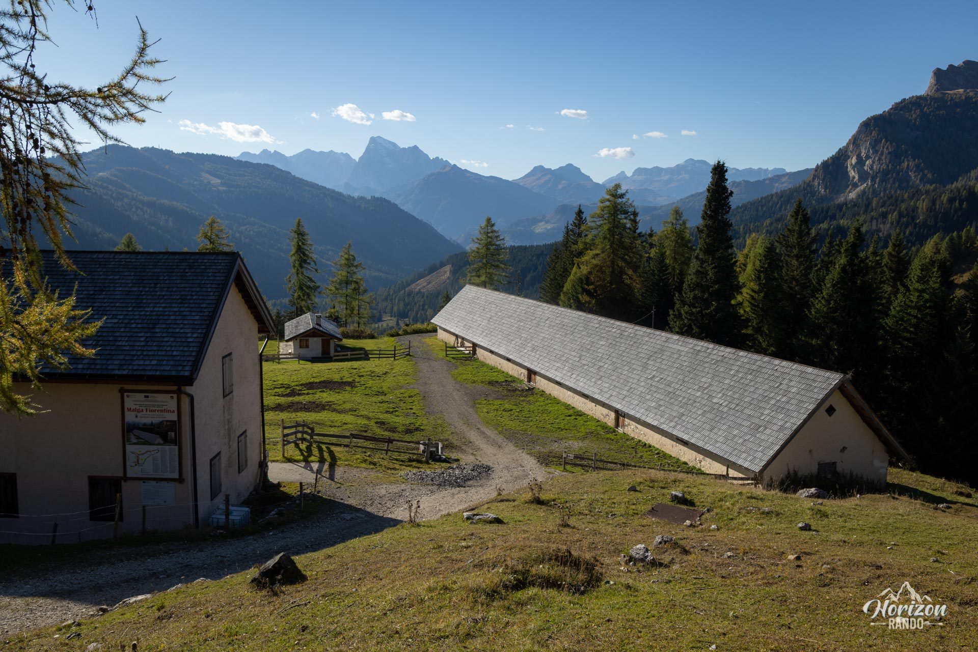
More hikes to do in the Dolomites
Nearby hikes

Printed from www.horizonrando.fr/en/hiking-dolomites/col-de-la-puina-hike/