





Santa Maddalena Viewpoint Hike
Key facts about the hike
- Difficulty
- Very easy Hikes are rated from very easy to very hard: my difficulty scale
- Duration
- 1h Estimated time, short breaks included (photos, water, snacks), picnic not included: how it is calculated
- Distance
- 3.2km
- out and back
- Elevation gain
- 150m
- Type of route
- Out and back
- Maximum altitude
- 1,366 m
- Vertiginous Five levels, depending on how exposed the route is: the levels in detail
- No
- Marked
- No
- Popularity
- High
- Start point
- 46.64126, 11.71536
- Activity
- Hiking
Hike overview
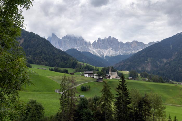
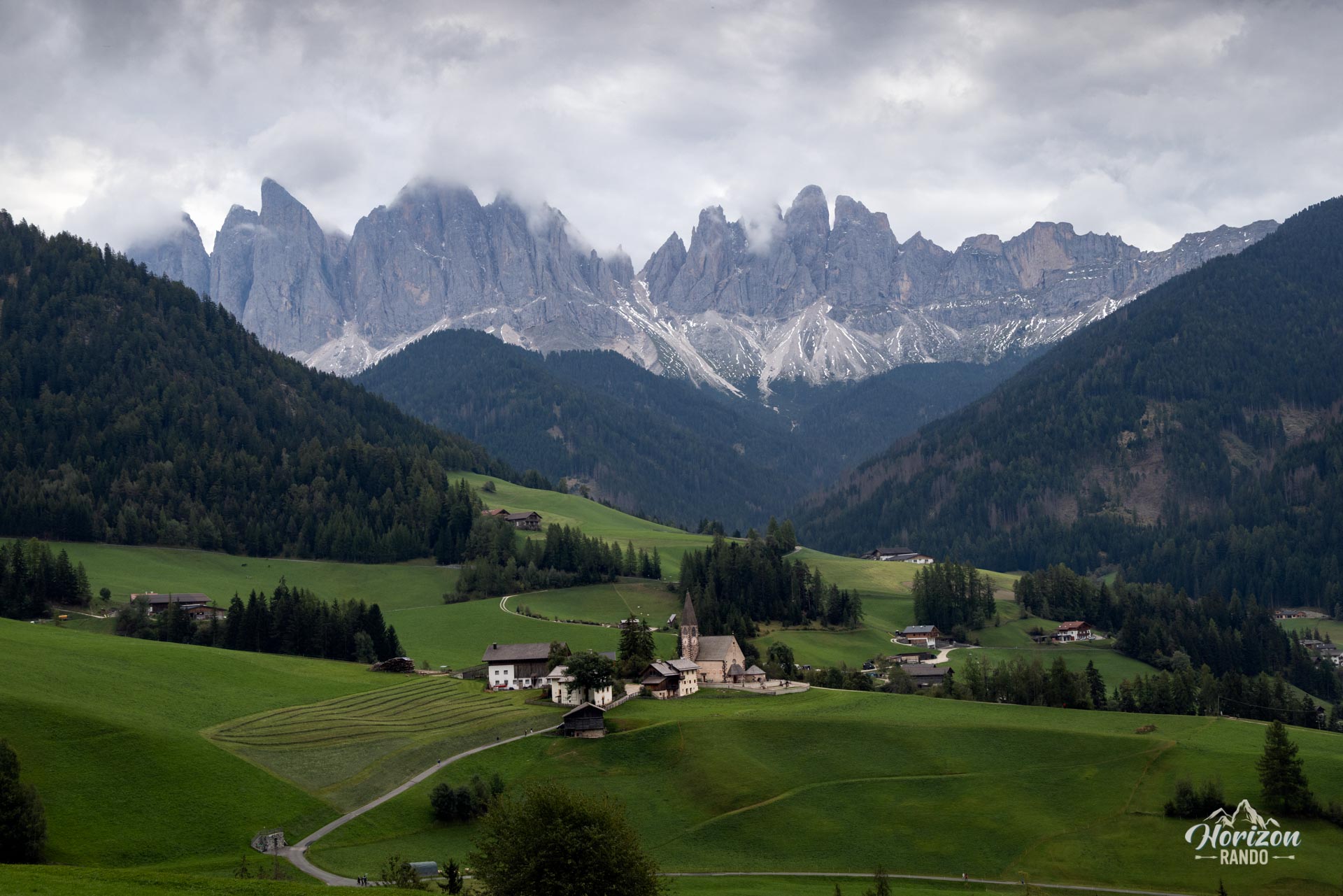
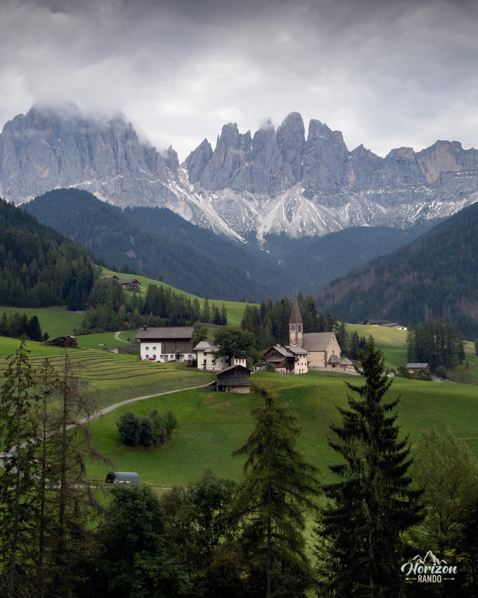
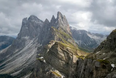
This short hike leads to one of the most famous panoramic views in the Dolomites. In the heart of Val di Funes, you will find the small church of Santa Maddalena perched on a green hill with the slender peaks of the Odle (Geisler) range as a backdrop.
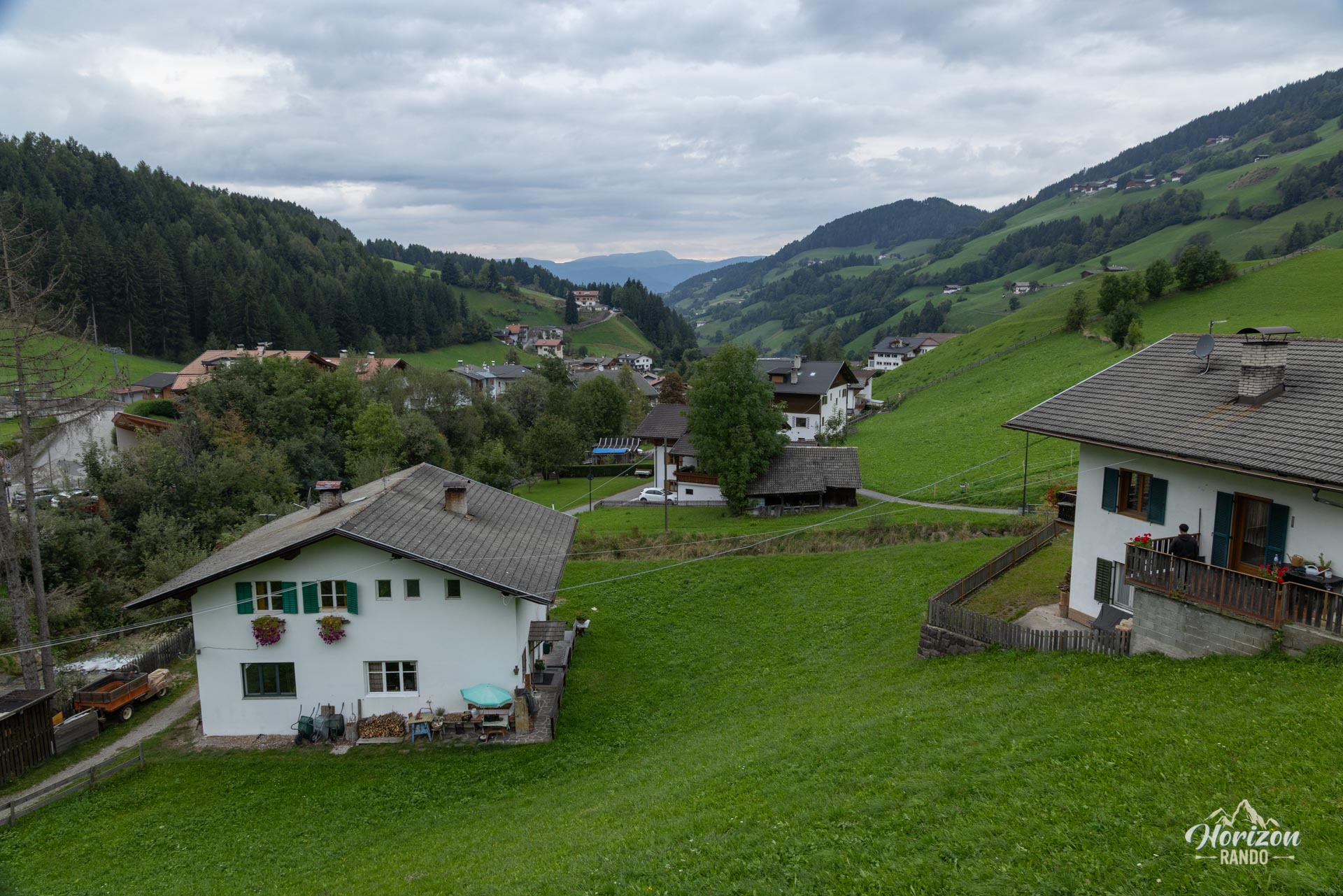
This very easy route passes through the Tyrolean village and climbs along small trails and paved farm roads to the famous viewpoint. It's an iconic site that has become a victim of its own success, so be prepared to share the viewpoint with many hikers and photographers, especially at sunset.
Map and elevation profile of the hike
Santa Maddalena Viewpoint Hike
Description and difficulties of the hike
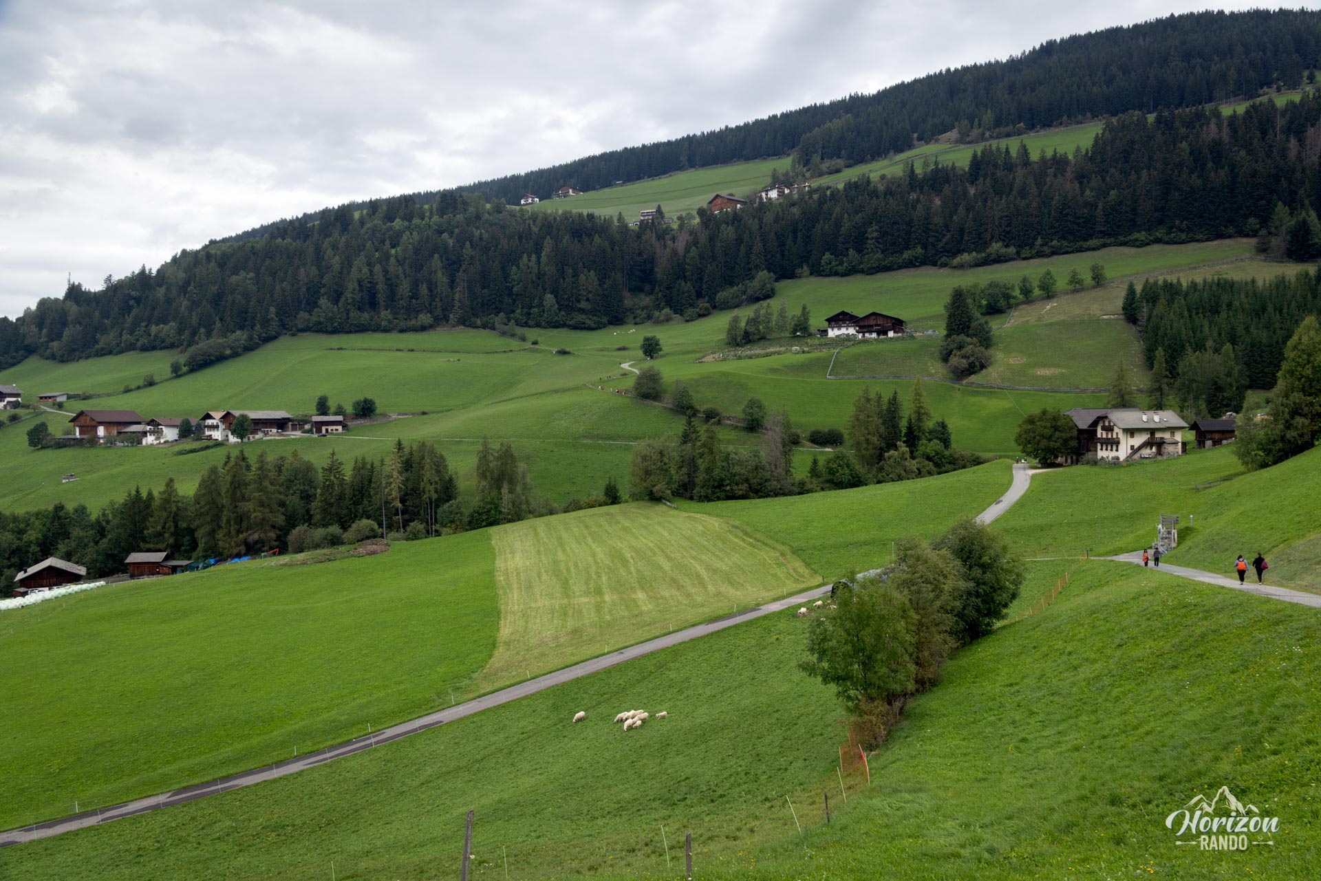
This hike is easy. It follows small paved roads, village alleys, and a short dirt path. The elevation gain is minimal, and the slope is gentle with no steep sections. While the trail is not marked, signposts for the "Panoramaweg" and "Photo Spot" make navigation easy.
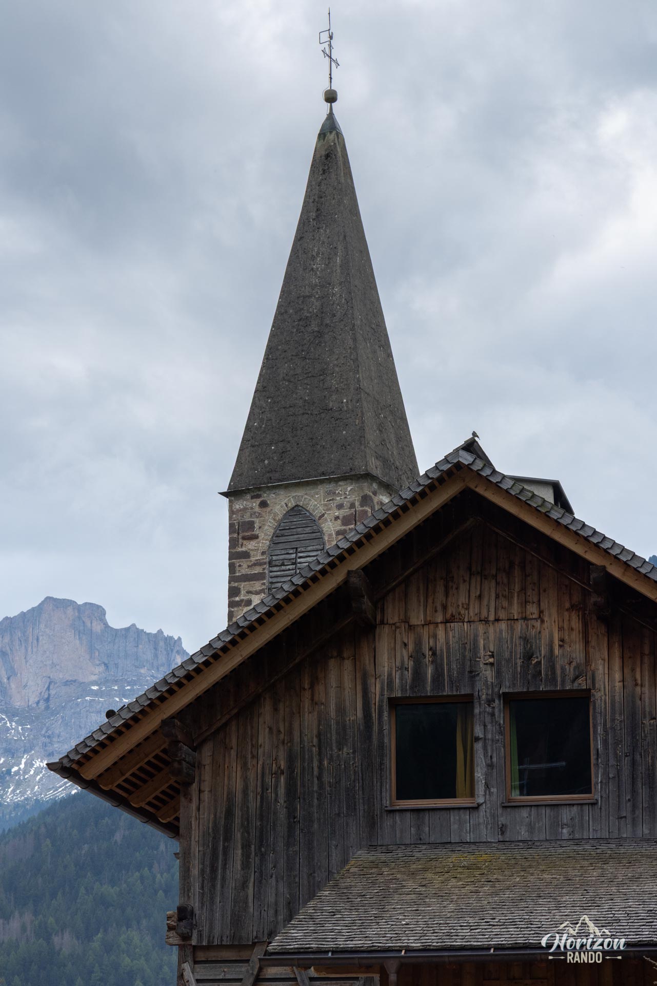
From the center of Santa Maddalena, first reach the church of the same name via Kirchweg, passing by the Fallerhof farm. The stone building, whose origins date back to the late 15th century, is worth a visit—admission is free. Continue north on Magdalenaweg, cross the bridge over Blauer Bach, and look for a "Panoramaweg" sign on the right. A short uphill path leads to the famous viewpoint in just a few minutes. The return trip follows the same route.
What you'll love
- The iconic view of the Santa Maddalena church nestled amid the meadows with the slender peaks of the Odle/Geisler in the background.
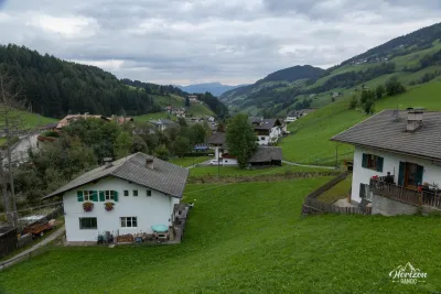
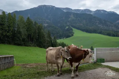
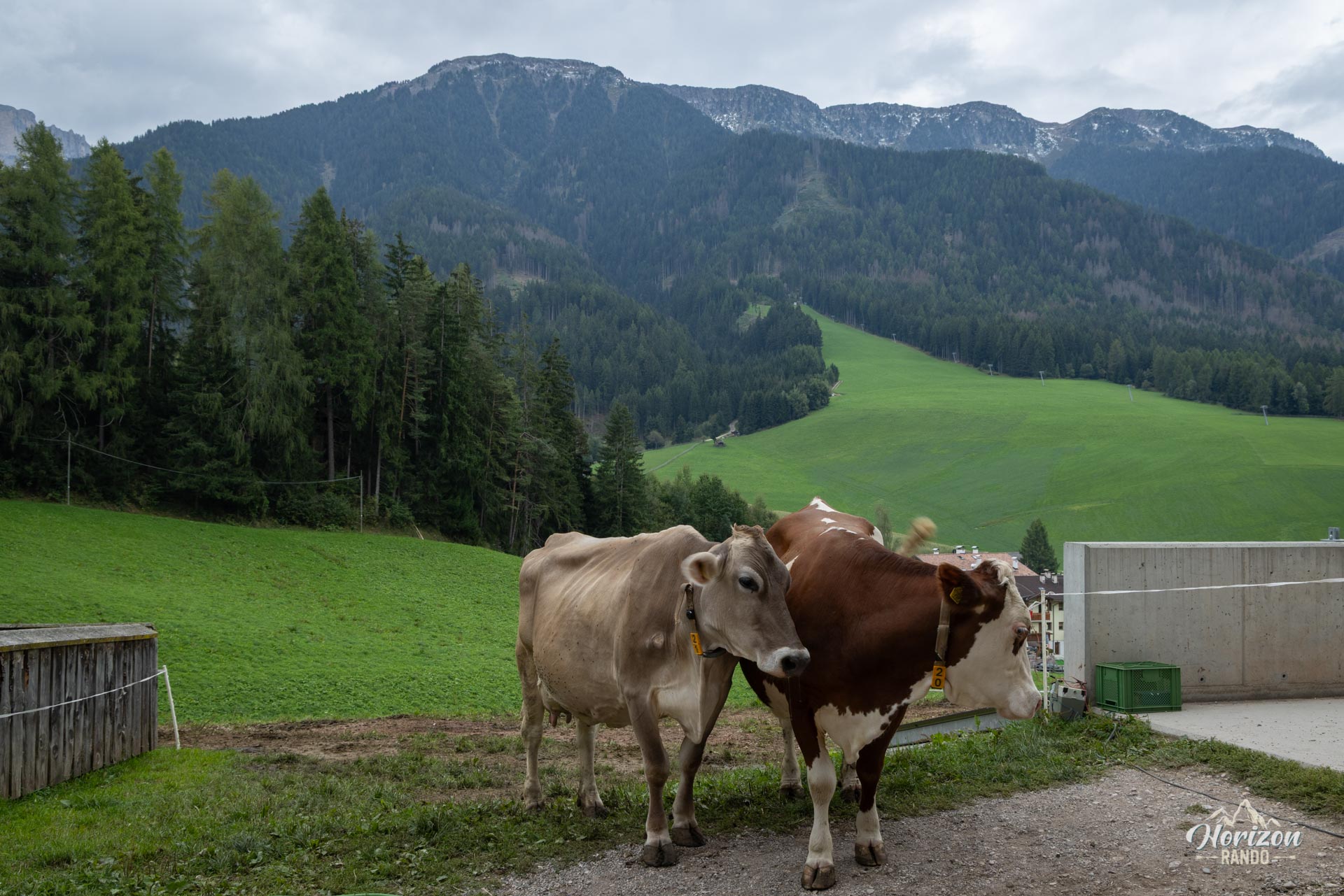
- The atmosphere of South Tyrolean hamlets: traditional farmhouses, grazing cows, and small chapels.
Practical information
Parking
There are several paid parking lots nearby. Parking is prohibited along the Magdalenaweg and on the Panoramaweg trail. Do not attempt to drive close to the viewpoint or the church.
Variant
Combining the Panoramaweg and the Sunnseitnweg forms a complete 9.5 km loop (3.5 hours, 400 m elevation gain) that passes through several mountain farms. It is also easy to continue to the nearby San Giovanni in Ranui viewpoint.
Photos
More hikes to do in the Dolomites
Nearby hikes
Printed from www.horizonrando.fr/en/hiking-dolomites/santa-maddalena-viewpoint-hike/