





Via Ferrata Ra Bujela
Key facts about the hike
- Via ferrata difficulty
- B/C Via ferrata grades, from A (easy) to E (extremely difficult): my via ferrata scale
- Moderately difficult
- Duration
- 3h30 Estimated time, short breaks included (photos, water, snacks), picnic not included: how it is calculated
- Distance
- 6.3km
- out and back
- Elevation gain
- 600m
- Hiking difficulty
- Easy
- Type of route
- Out and back
- Maximum altitude
- 2,258 m
- Vertiginous Five levels, depending on how exposed the route is: the levels in detail
- Highly
- Marked
- Yes
- Popularity
- Low
- Start point
- 46.54081, 12.09901
- Activity
- Hiking and Via Ferrata
Hike overview
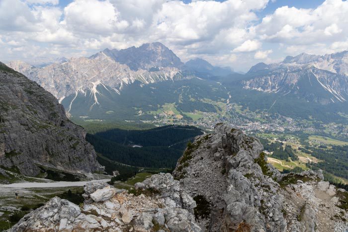
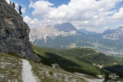
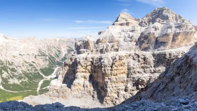
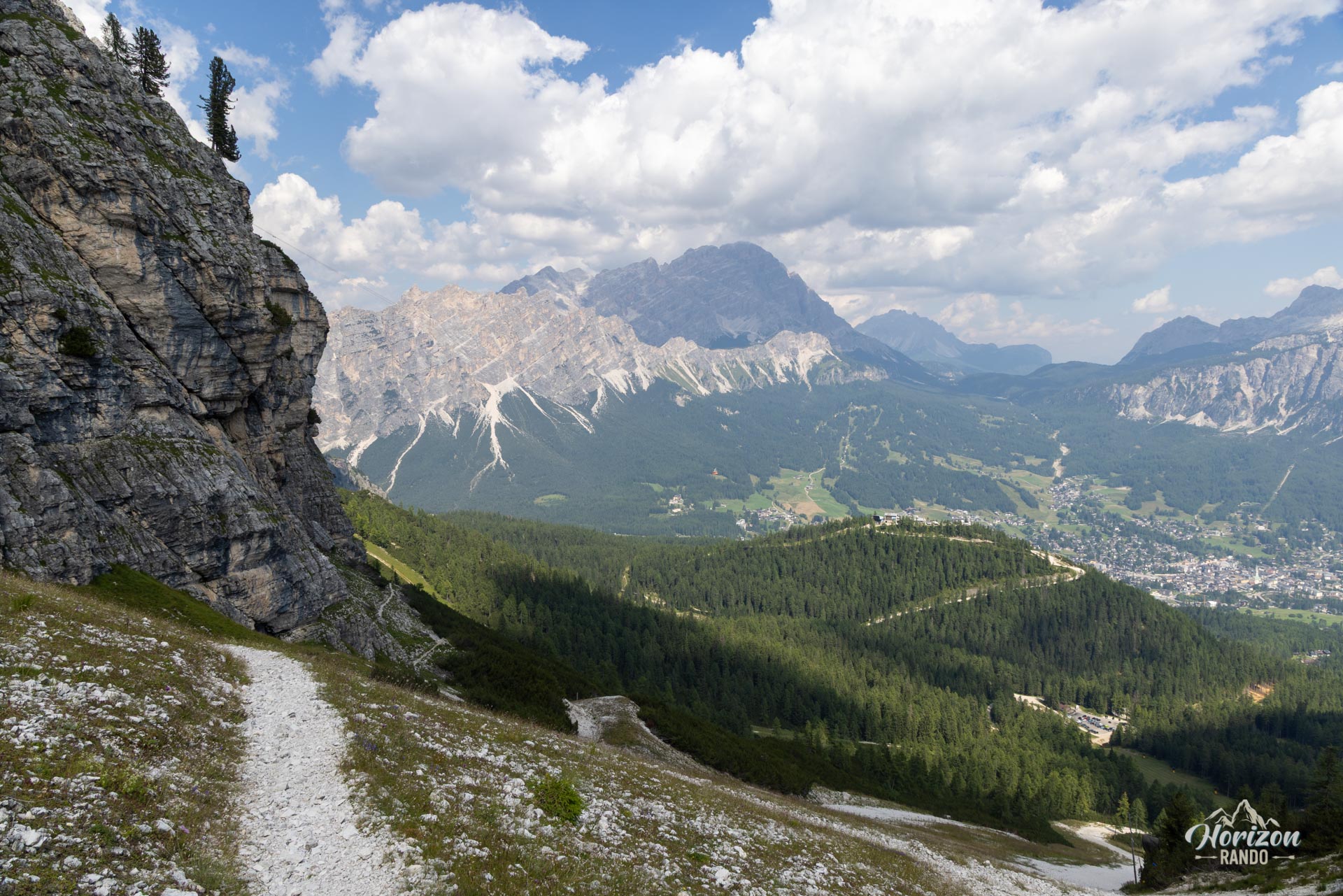
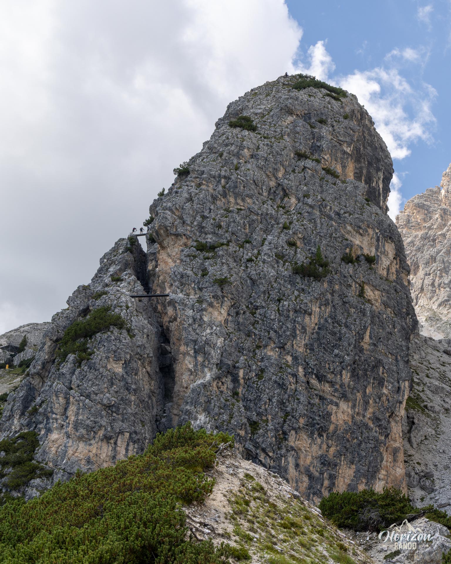
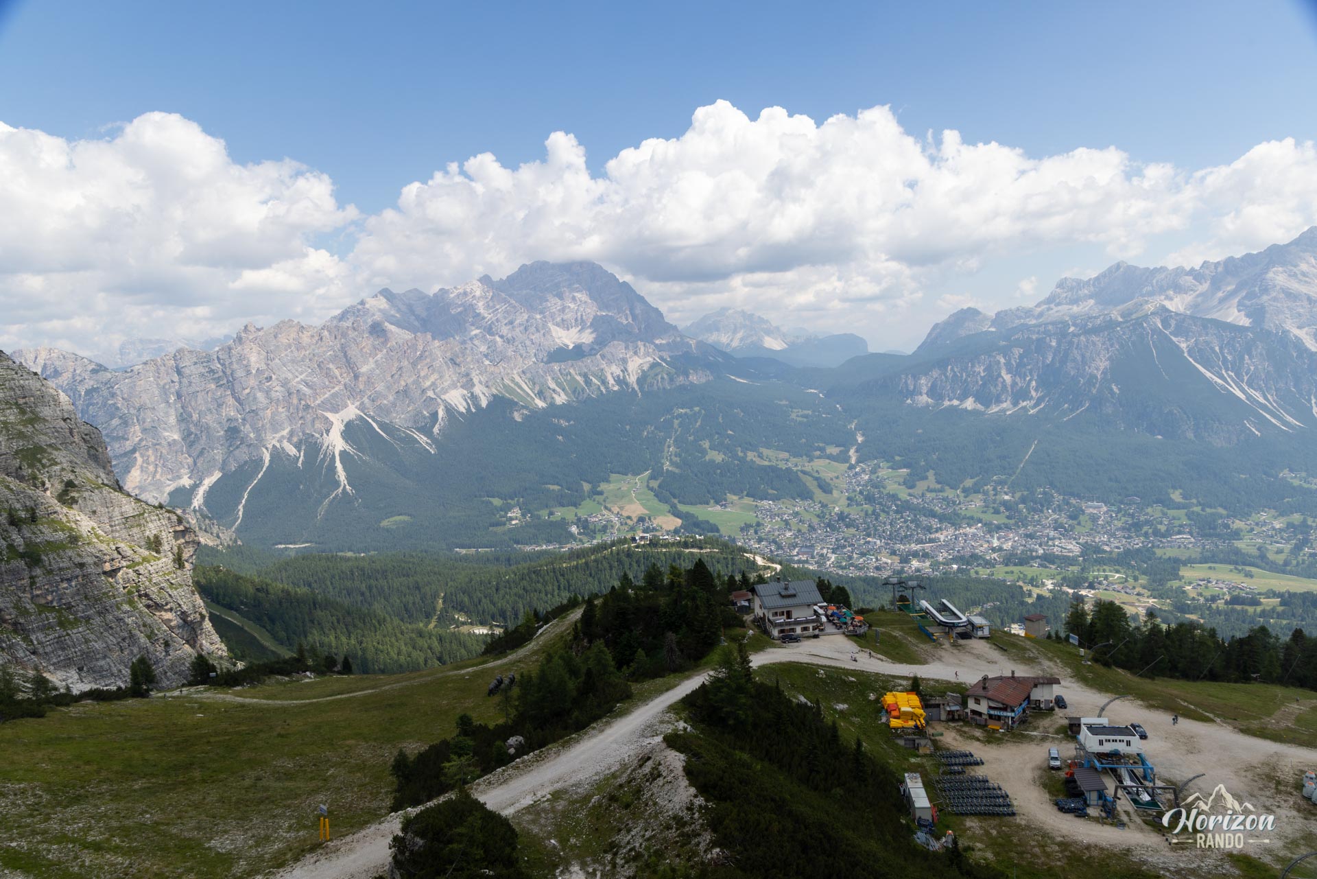
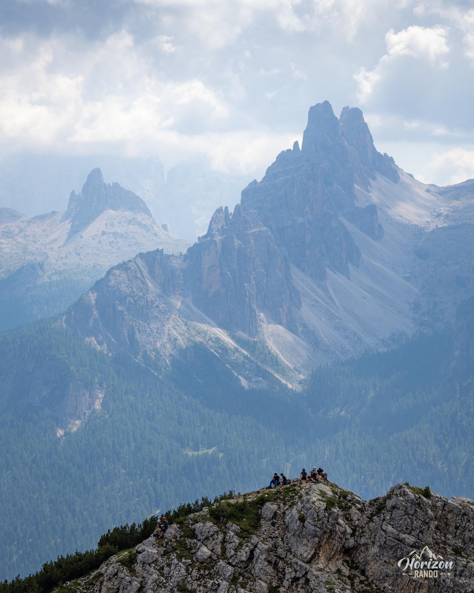
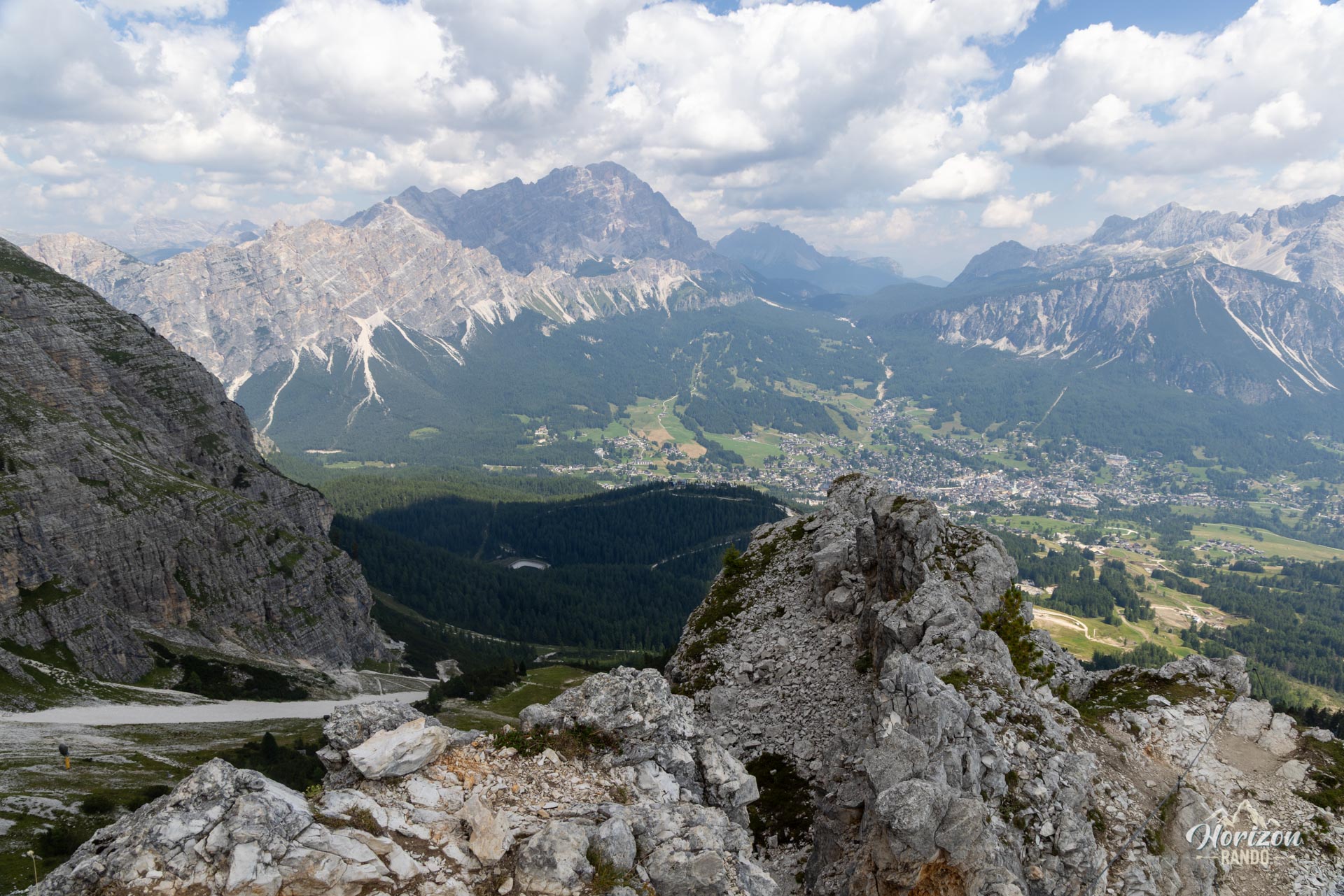
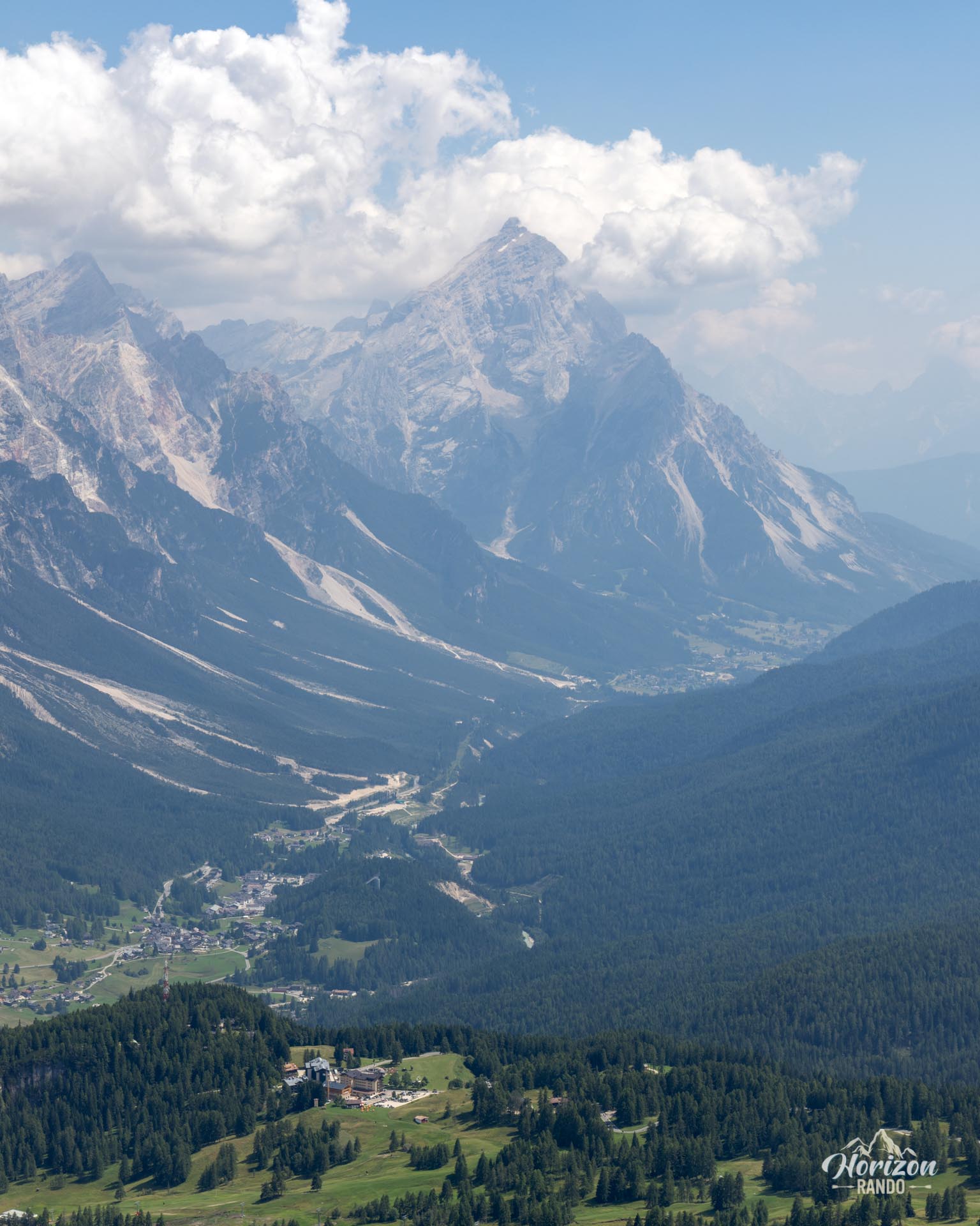
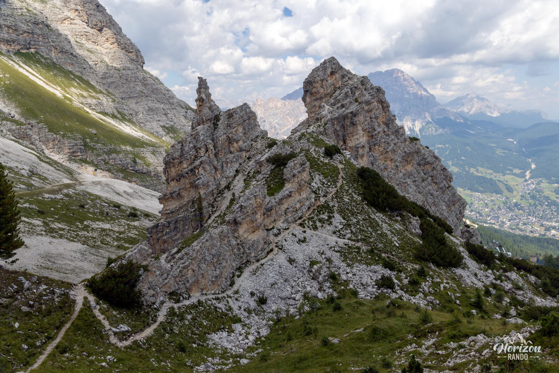
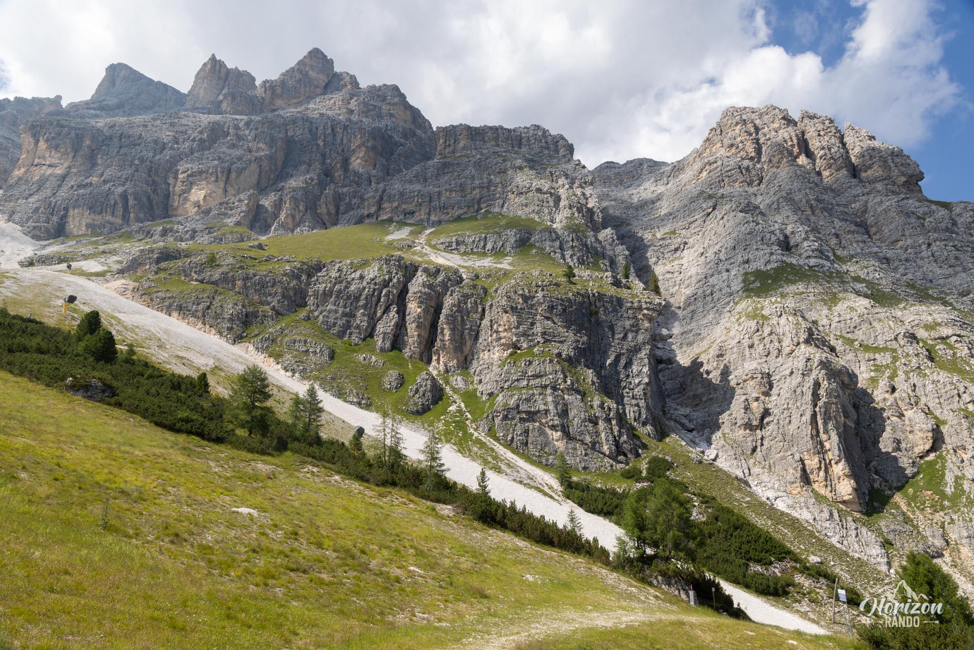
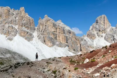
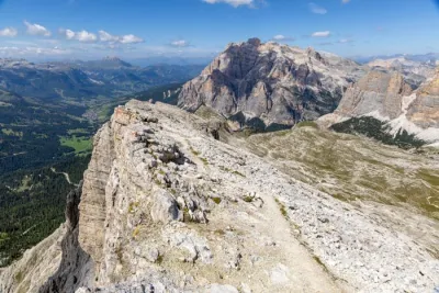
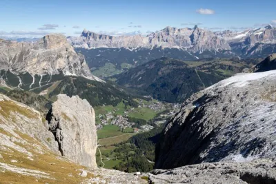
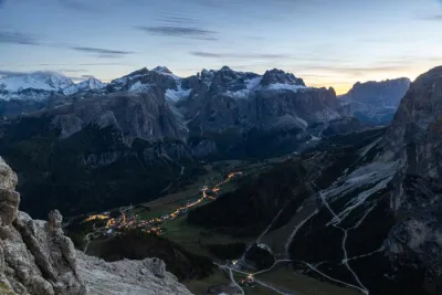
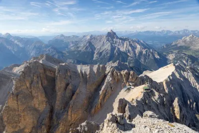
The via ferrata Maria and Andrea Ferrari, also known as Ra Bujela, is a climb up the Ra Bujela tower, located between the Duca d'Aosta and Pomedes mountain huts at the foot of the Tofane Massif. This short but intense route features a series of vertical cliffs and two wooden bridges. Hikers can enjoy panoramic views of Cortina d'Ampezzo, the valley, and the neighboring major massifs—Cristallo, Sorapiss, and Croda da Lago—along the way.
The approach is short, and the Duca d'Aosta chairlift reduces it even further. It is a good choice for a half-day hike or as a warm-up before tackling more challenging routes in the Tofane massif.
Map and elevation profile of the hike
Via Ferrata Ra Bujela
Description and difficulties of the hike
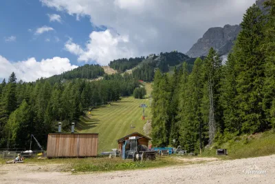
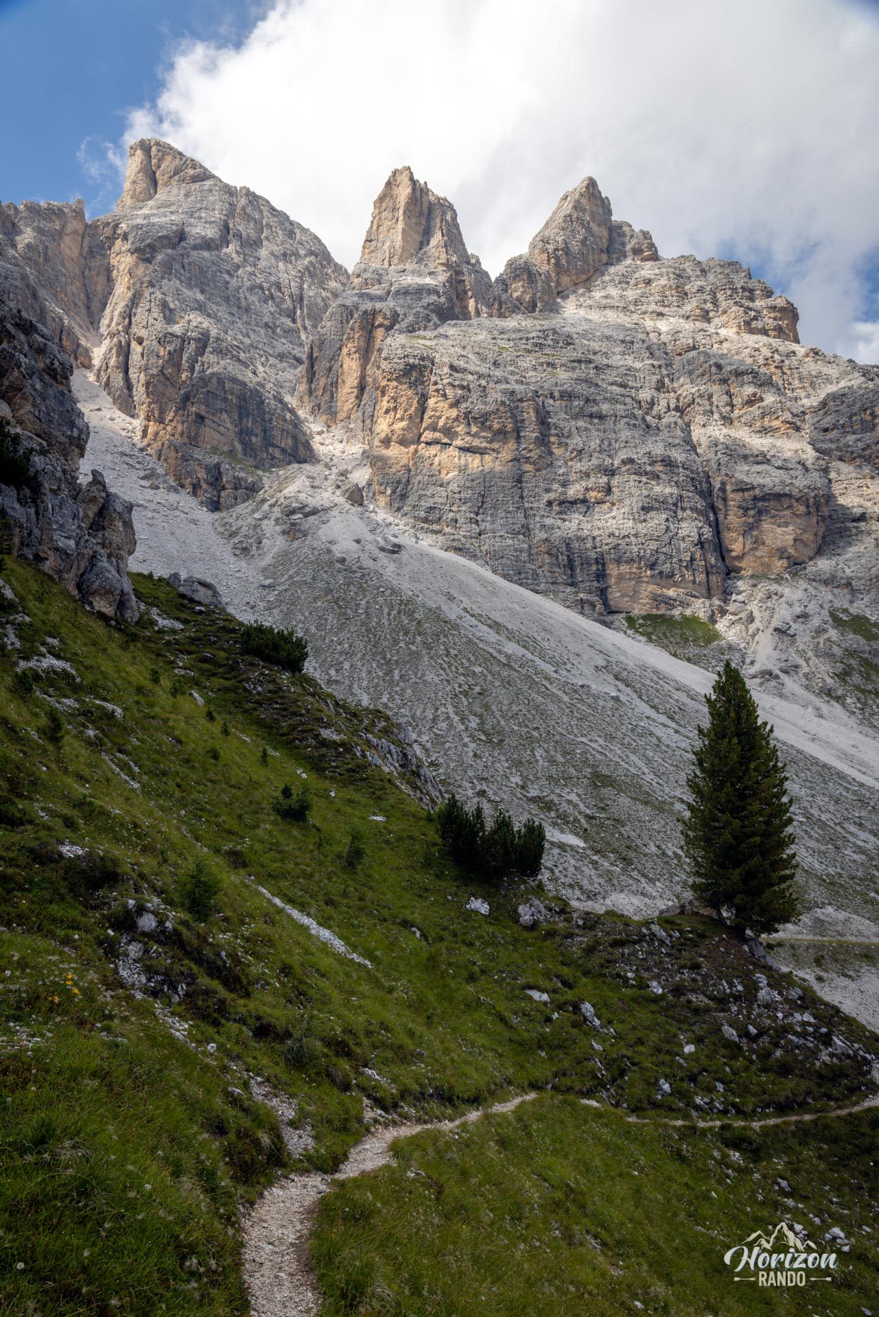
From the Baita Piè Tofana parking lot (1,670 m), follow Trail No. 407, which climbs behind the ski lifts. Then, join Trail No. 405 on the right, which leads to the Rifugio Duca d'Aosta (2,100 m). The trail is well-marked, with directional signs at every intersection. From the refuge, the via ferrata starts after a five-minute walk along a trail ascending toward the Pomedes Refuge. Then, take the narrow path on the left marked by a sign reading "Via Ferrata Ra Bujela."
Quick option: Take the Duca d'Aosta chairlift, which drops you off 100 meters from the base of the via ferrata, saving you from climbing over 400 meters.
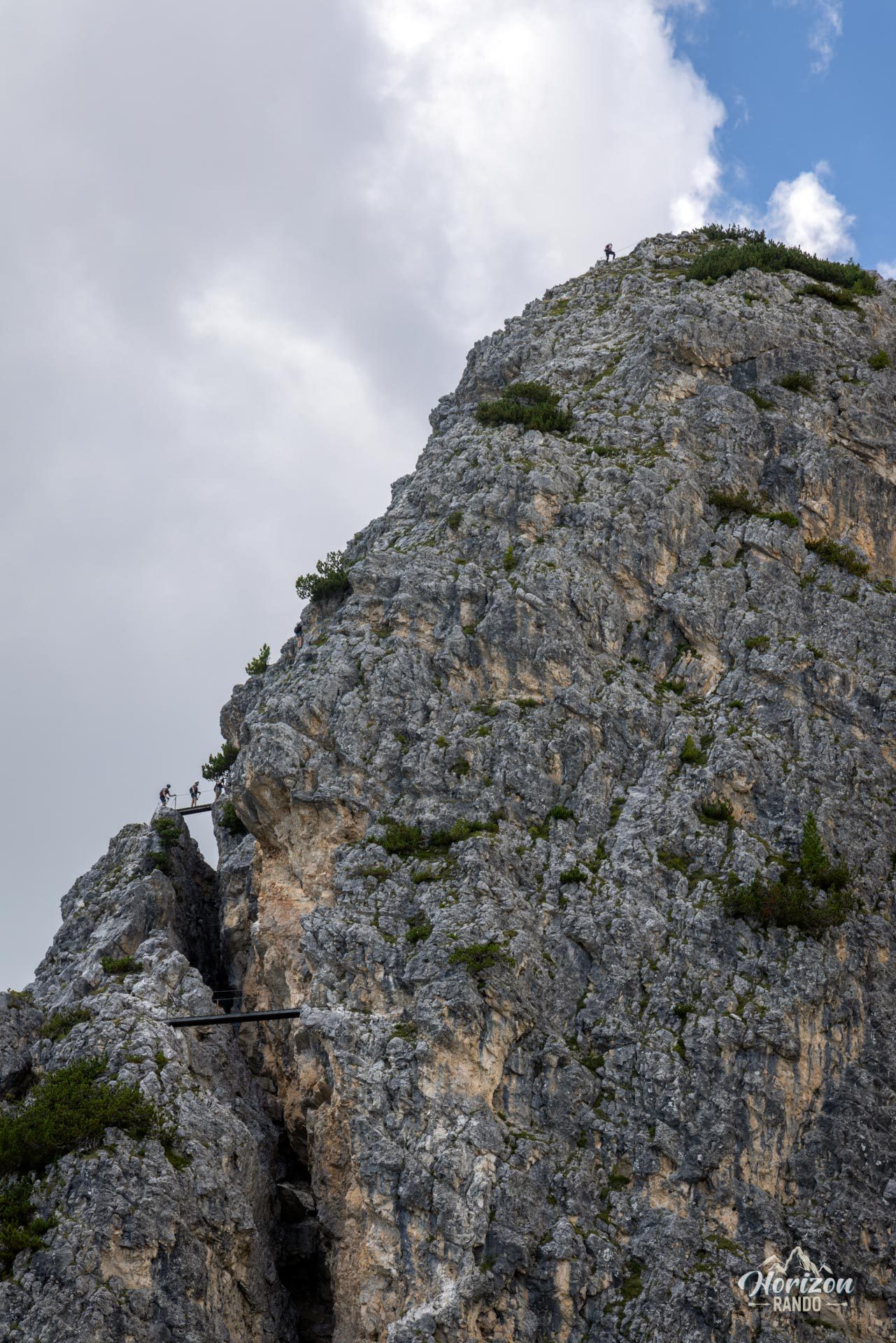
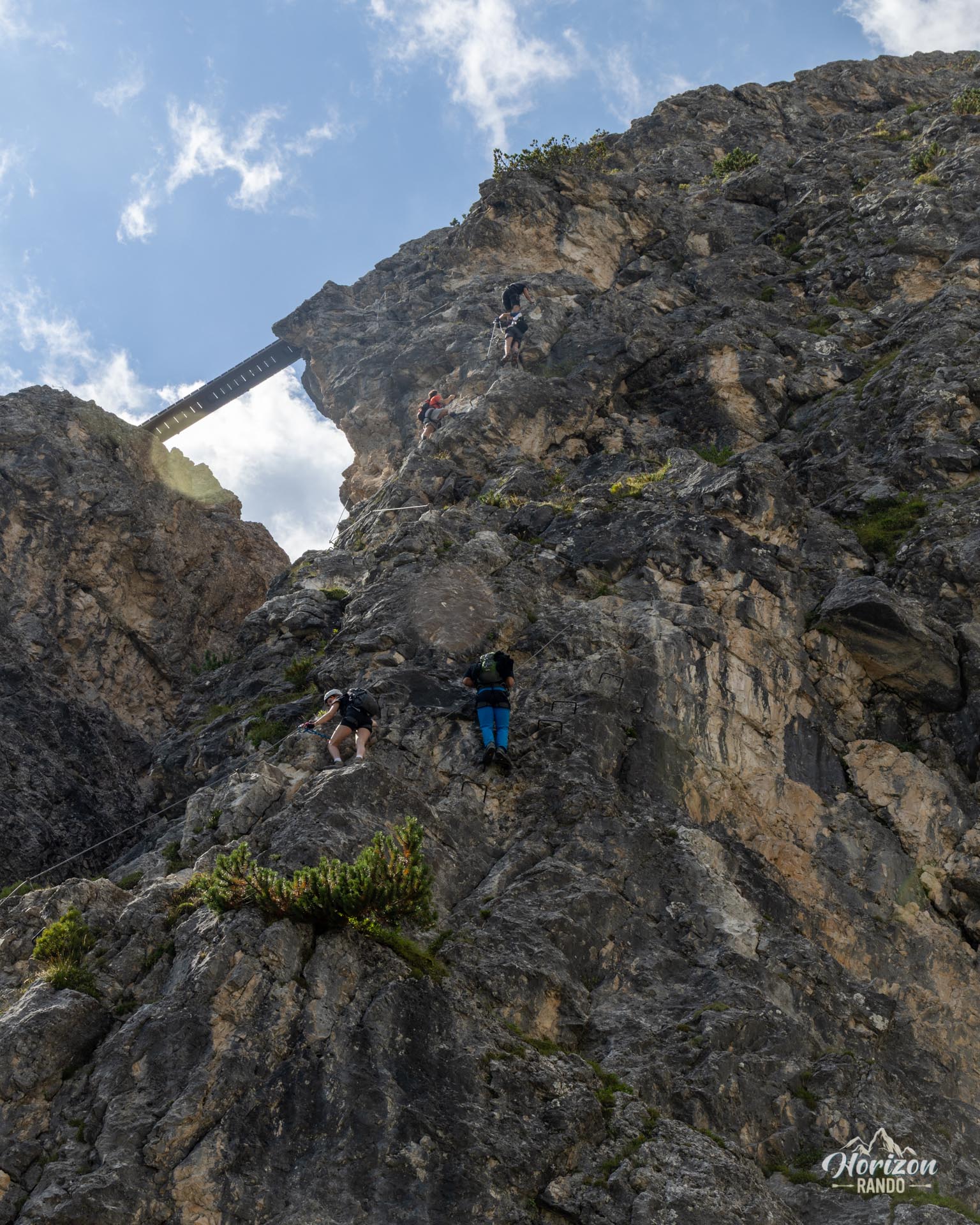
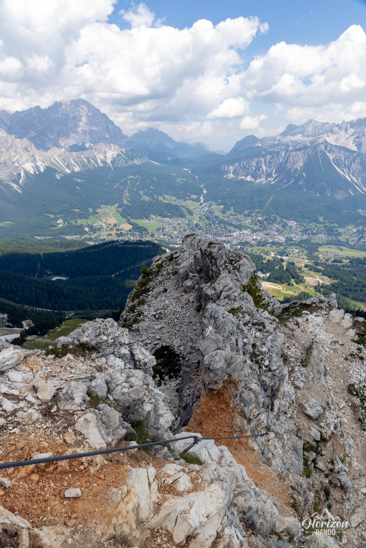
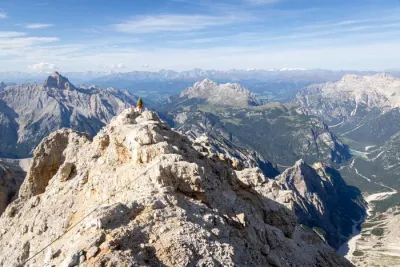
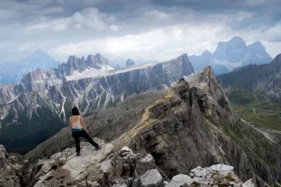
The via ferrata is short, with about 140 meters of elevation gain, but demanding. The first half is the most challenging. The route climbs diagonally up a rock step and continues with a horizontal traverse and an ascending ledge. This section is highly exposed but very well equipped. This is the most airy section of the route.
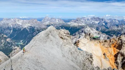
The two bridges offer panoramic views halfway through the route. After the second bridge, a long ledge requires caution before opening onto a fairly wide ridge leading to the 2,258 m summit. There's room for three or four people at most.
The descent is roped for the first few meters and drops down the west side before joining a trail that leads back down to the Rifugio Duca d'Aosta. You can then return to the parking lot via the approach route or by chairlift.
What you'll love
- The short but intense route: two bridges, exposed ledges, vertical rock steps, and a panoramic ridge.
- The flexibility: a full approach on foot for a half-day hike or a chairlift for the ascent and/or descent for a two- to three-hour outing.
- The panoramic views from the summit overlooking Cortina, the Ampezzo Valley, and the surrounding mountain ranges.
Practical information
Parking
Large, free parking at Baita Piè Tofana (1,670 m), at the base of the Duca d'Aosta chairlift. A quick 15-minute drive from Cortina.
Duca d'Aosta chairlift
Generally open from mid-June to late September. Schedules and rates are available at skipasscortina.com.
Equipment
Helmet, harness, and via ferrata lanyard with an energy absorber are required. Via ferrata gloves are recommended.
Photos
See all 14 photos →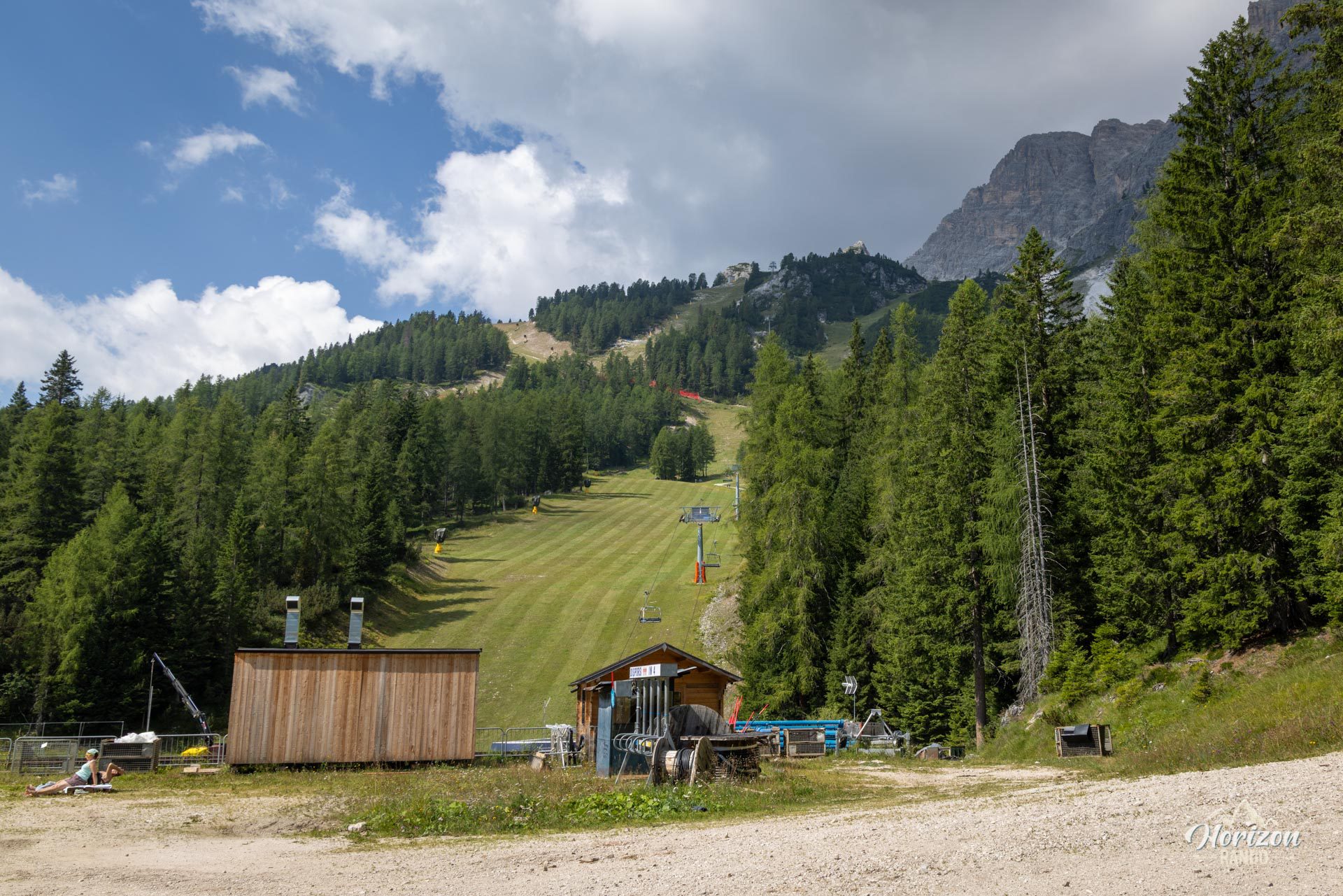
More hikes to do in the Dolomites
Nearby hikes
Printed from www.horizonrando.fr/en/hiking-dolomites/via-ferrata-ra-bujela/