






Via Ferrata Michielli Strobel
Key facts about the hike
- Via ferrata difficulty
- C Via ferrata grades, from A (easy) to E (extremely difficult): my via ferrata scale
- Difficult
- Duration
- 5h Estimated time, short breaks included (photos, water, snacks), picnic not included: how it is calculated
- Distance
- 6.8km
- Elevation gain
- 950m
- Hiking difficulty
- Hard
- Type of route
- Loop
- Maximum altitude
- 2,249 m
- Vertiginous Five levels, depending on how exposed the route is: the levels in detail
- Moderately
- Marked
- Yes
- Popularity
- Low
- Start point
- 46.57640, 12.11617
- Activity
- Hiking and Via Ferrata
Hike overview
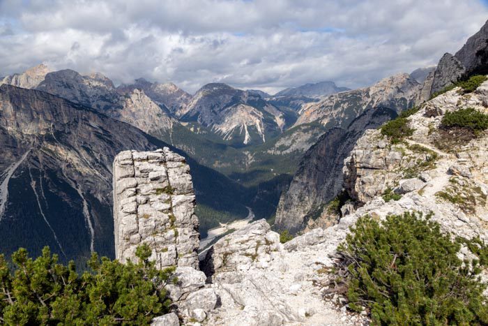
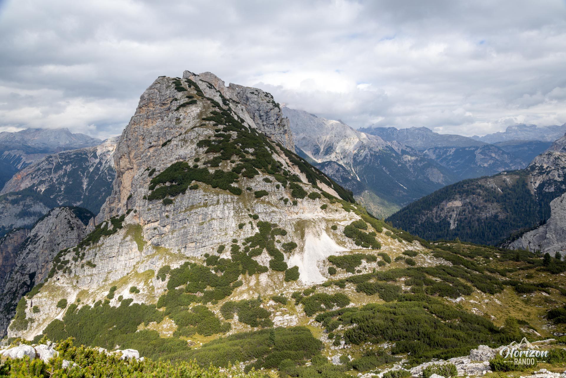
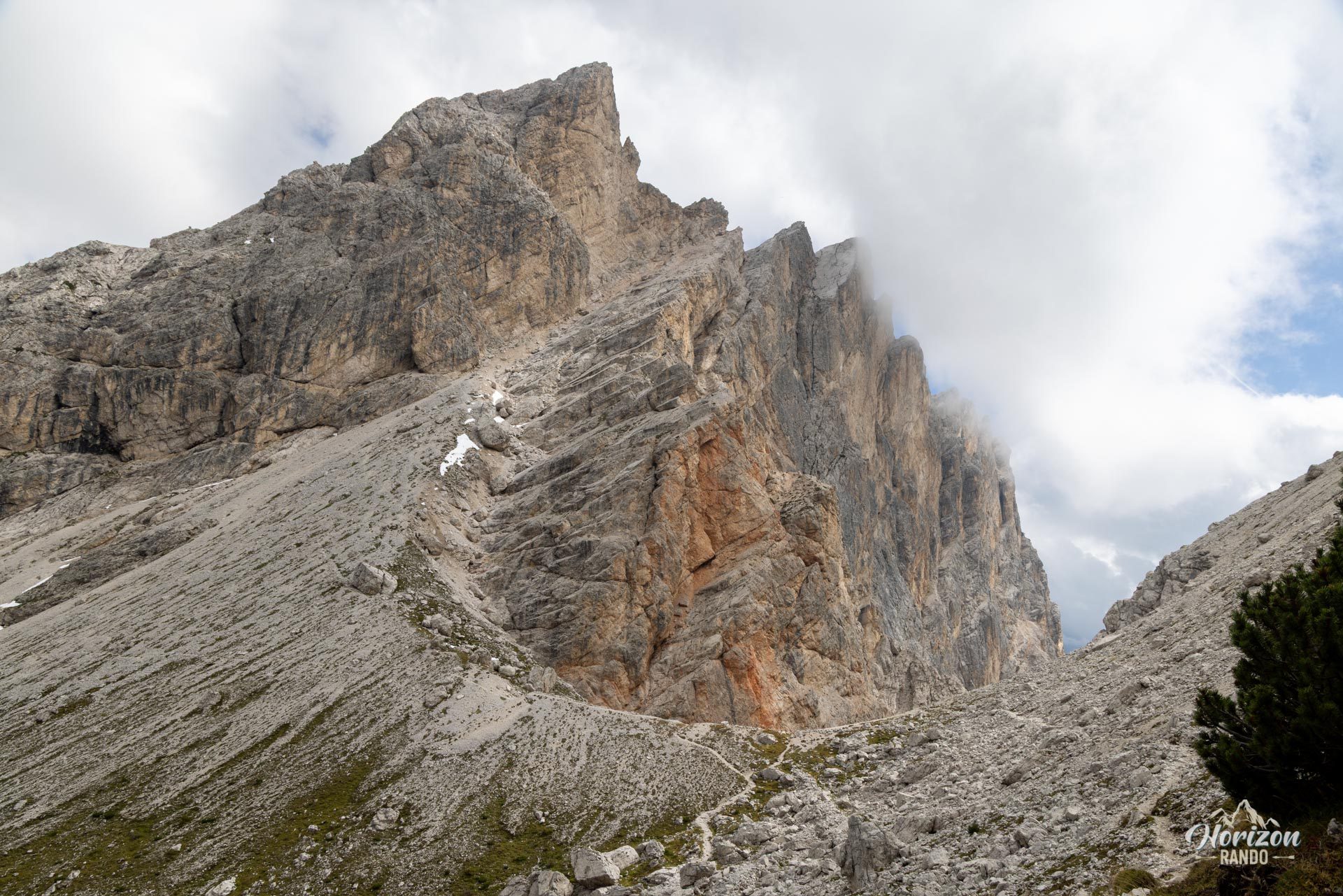
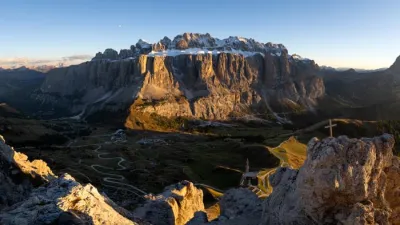
The Via Ferrata Michielli Strobel climbs the west face of Punta Fiames (2,240 m), a peak overlooking the Ampezzo Valley just north of Cortina. One of the historic classics of the Pomagagnon range, it alternates between technical equipped sections, airy ledges, and trails through pine forests, offering a varied and scenic route. The downside is the descent, which is a long, very steep scree gully requiring caution and sure footing.
Map and elevation profile of the hike
Via Ferrata Michielli Strobel
Description and difficulties of the hike
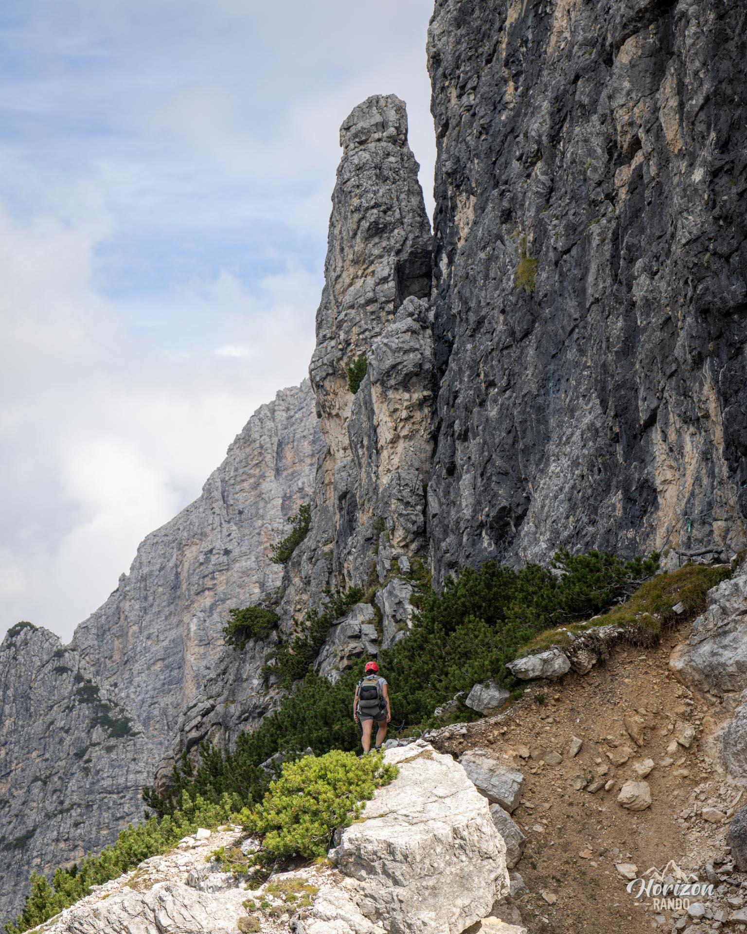
From the Punta Fiames parking lot, take trail no. 218, which heads into the pine forest across from the hotel. It crosses the "Ex Ferrovia" bike path, then begins a sustained climb. The route then follows a steep, winding scree gully up to the plaque marking the start of the via ferrata at around 1,700 meters—an approach hike of about one hour with 400 meters of elevation gain.
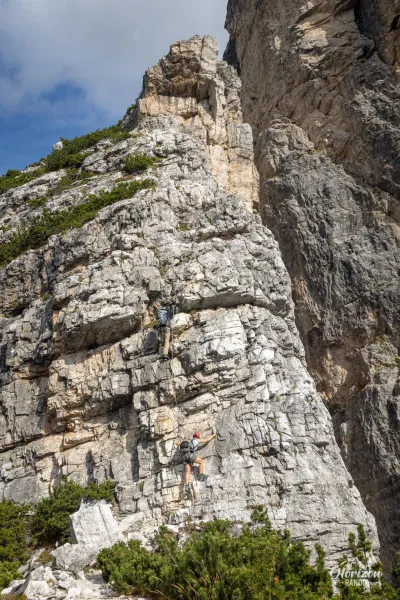
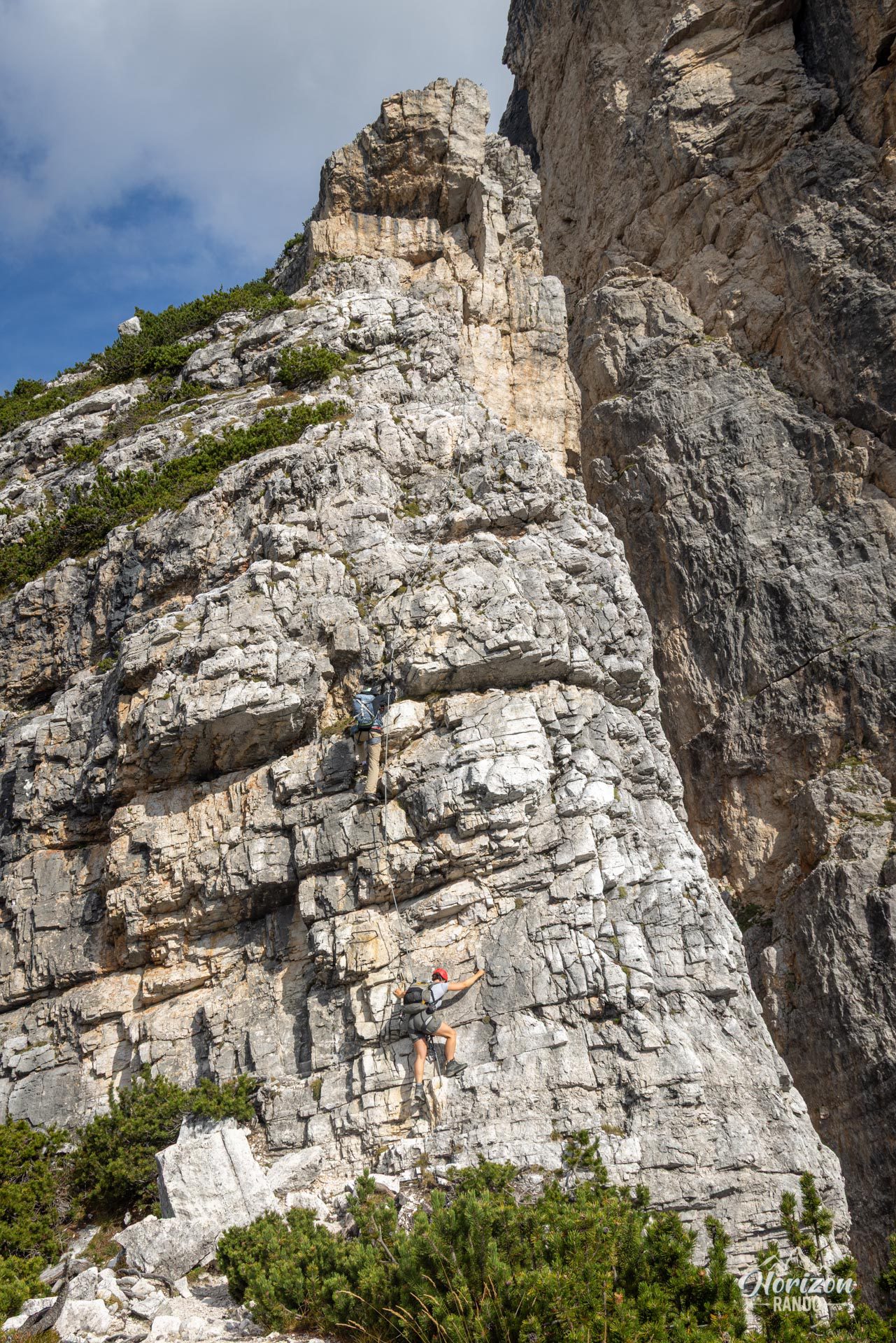
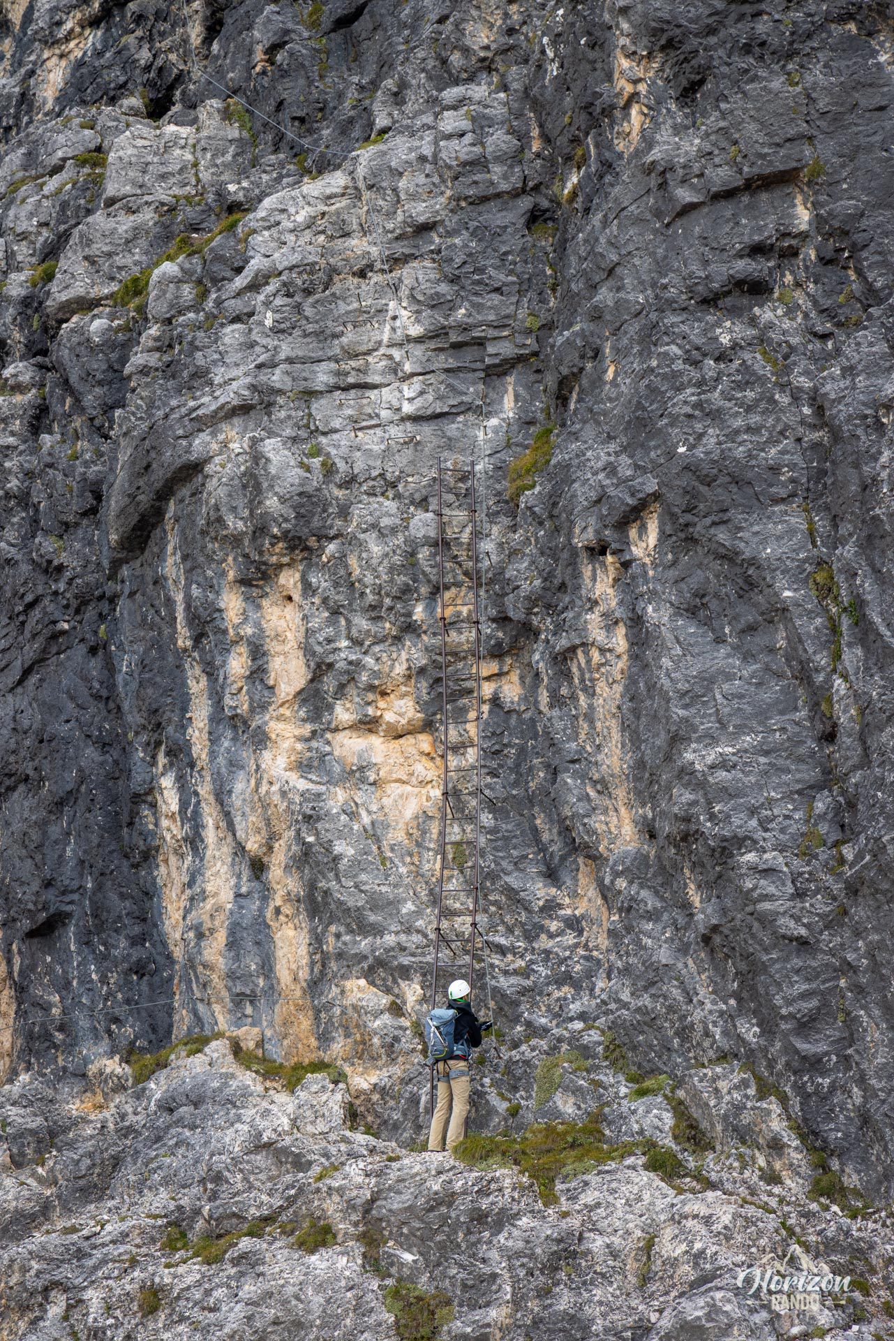
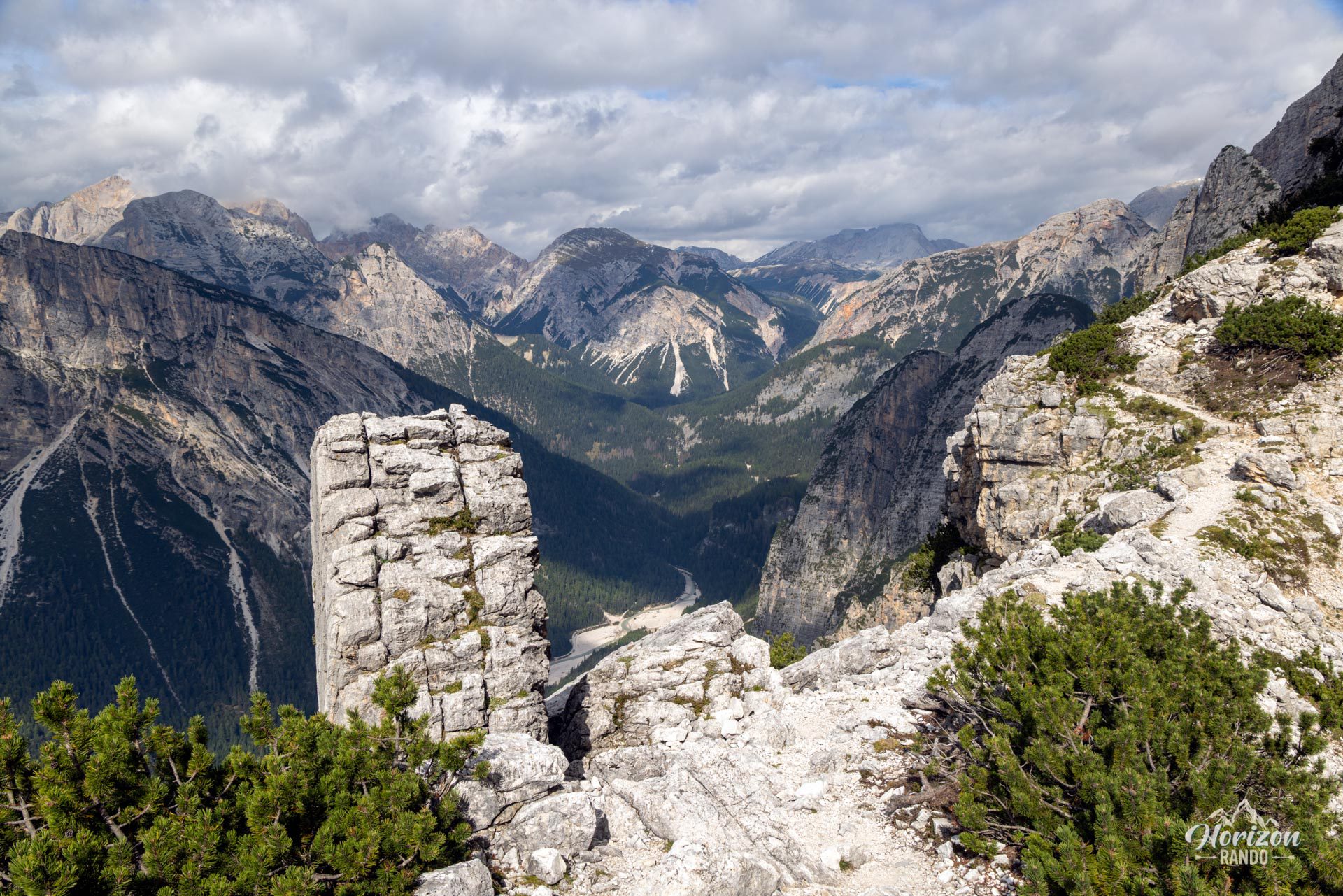
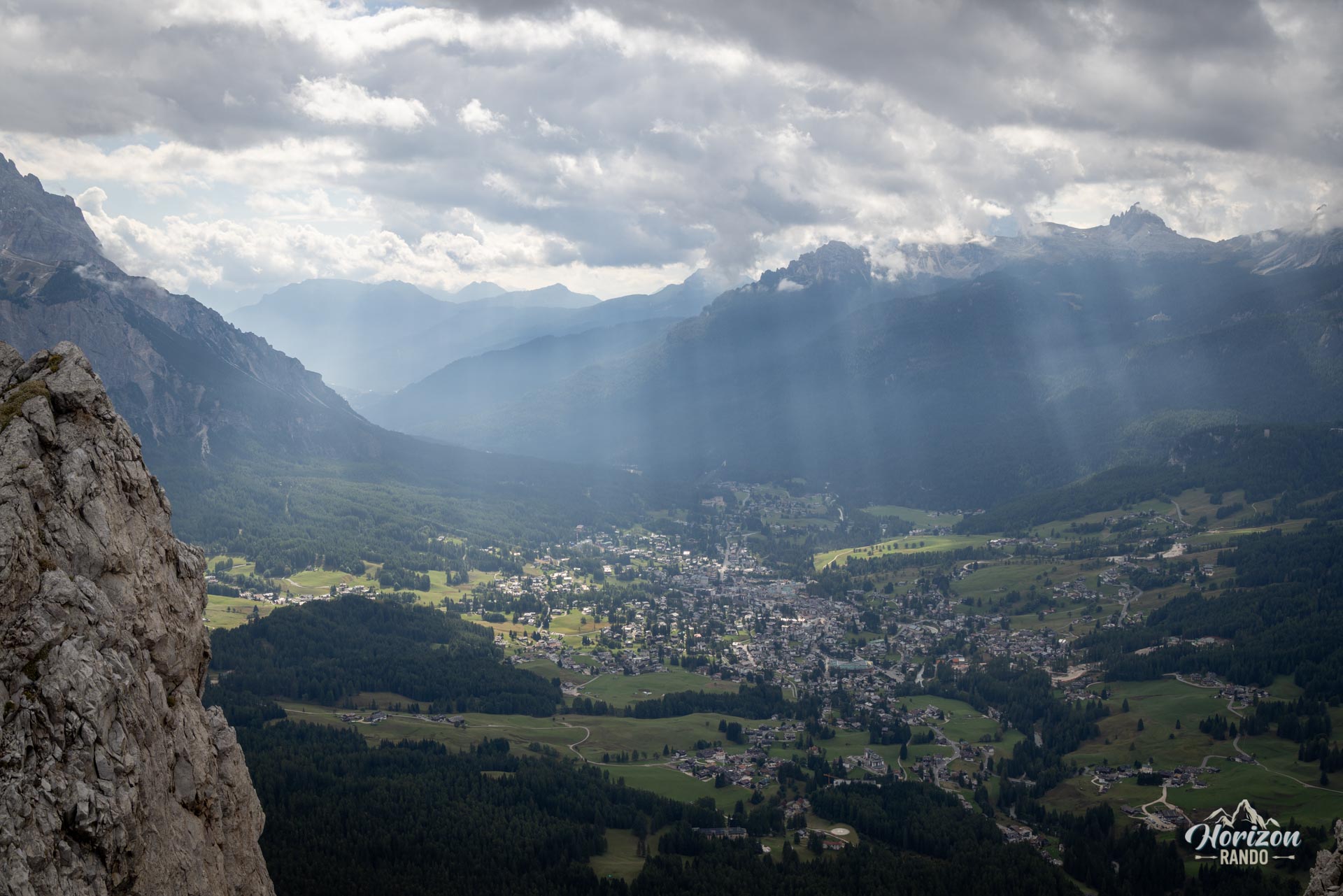
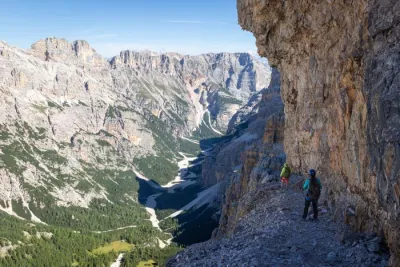
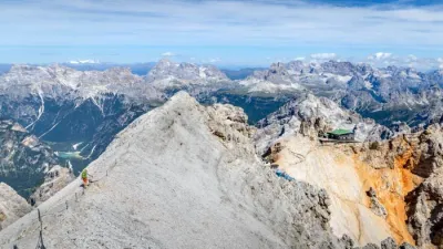
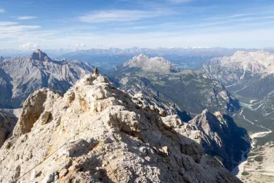
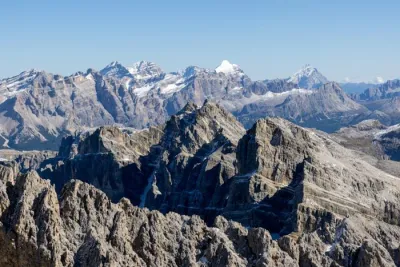
The via ferrata alternates between equipped sections and short connecting trails. The most distinctive passage is a long, high, impressive iron ladder. Route-finding between the equipped sections, along ledges and slabs, relies on cairns and isn't always straightforward, especially higher up. The rock generally offers plenty of handholds, with a few more technical passages. After climbing 500 meters, you emerge onto the summit plateau. A short trail leads to the Punta Fiames cross, where you can admire Cortina, the Tofane, the Cristallo, and the Croda da Lago.
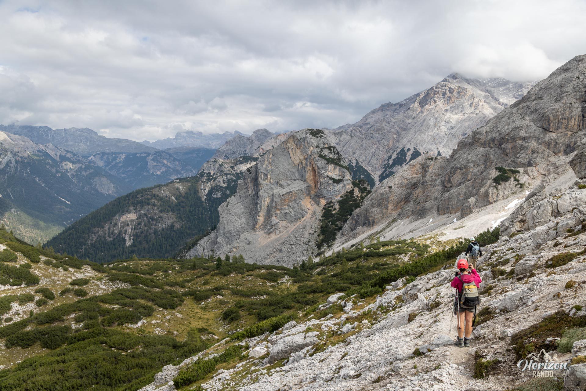
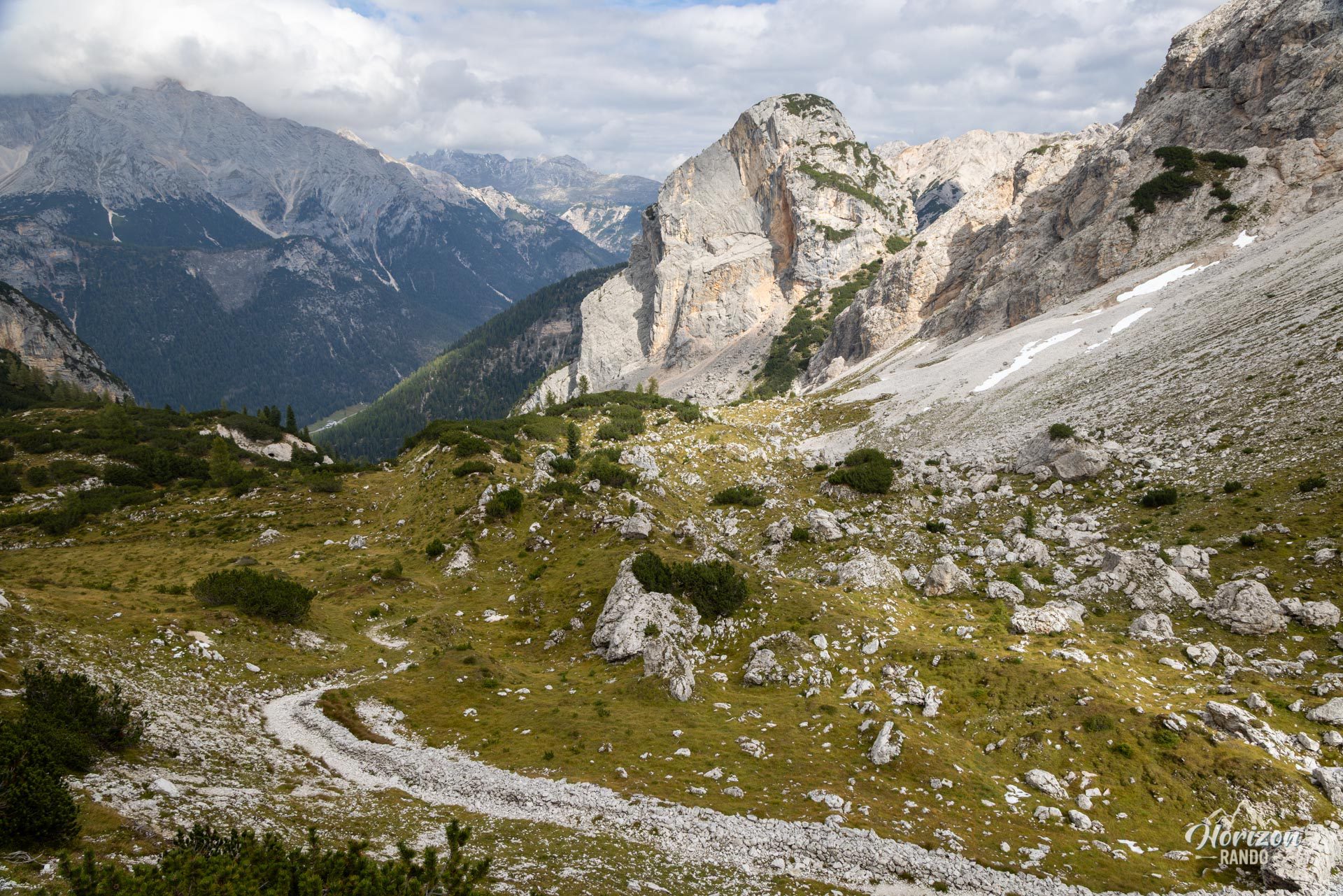
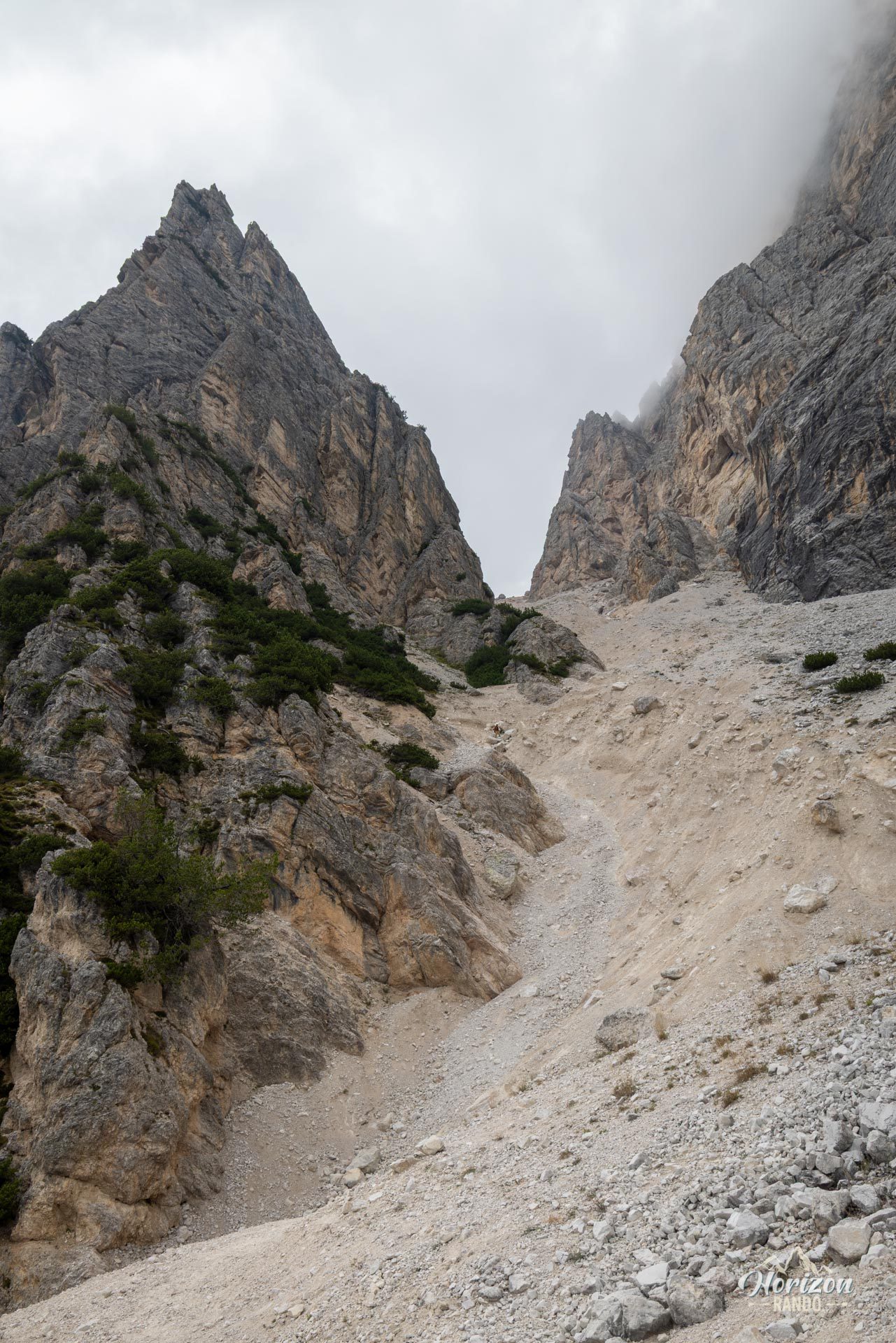
To descend, head toward the north face in the direction of Forcella Pomagagnon (2,178 m), which is reached in about 15 minutes. From there, Trail No. 202 plunges into a long scree gully that must be descended with care, favoring the right side as you descend (west). The terrain is very steep, loose, and there is no clear trail. This is the most challenging section of the route. Once you're past the scree, the trail merges with Trail No. 218. This trail leads gently back to the Fiames parking lot through the pine forest.
What you'll love
- A varied via ferrata that alternates between chimneys, aerial ladders, ledges, and walking sections, so it is never monotonous.
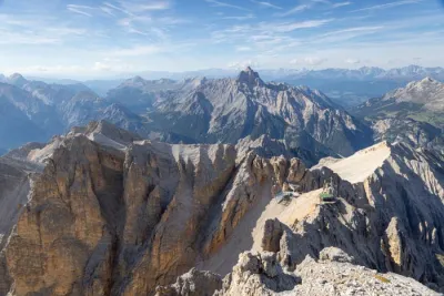
- The panoramic view from the summit of the Ampezzo Valley, the Tofane, and the Cristallo.
- The relatively short approach: about an hour's walk to the start of the route.
Practical information
Parking
There is a small, free parking lot along the SS 51, across from the Hotel Fiames. A larger parking lot is available at the stadium a few hundred meters further south toward Cortina.
Equipment
Helmet, harness, and via ferrata lanyard with energy absorber are mandatory. Hiking poles are strongly recommended for the descent couloir.
Photos
See all 11 photos →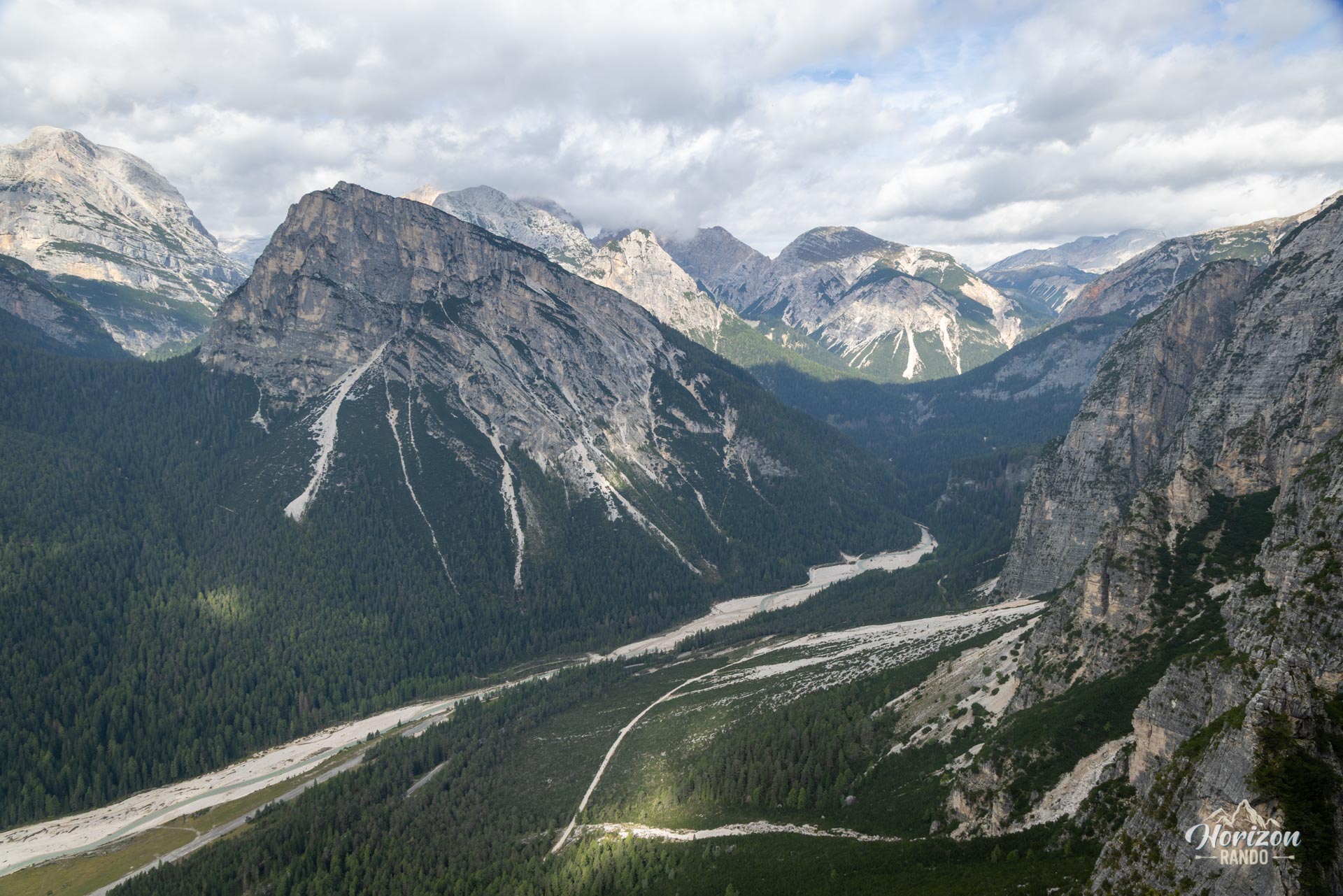
More hikes to do in the Dolomites
Nearby hikes





Printed from www.horizonrando.fr/en/hiking-dolomites/via-ferrata-michielli-strobel/