





Sassongher Hike
Key facts about the hike
- Difficulty
- Hard Hikes are rated from very easy to very hard: my difficulty scale
- Duration
- 4h30 Estimated time, short breaks included (photos, water, snacks), picnic not included: how it is calculated
- Distance
- 9.1km
- Elevation gain
- 980m
- Type of route
- Loop
- Maximum altitude
- 2,665 m
- Vertiginous Five levels, depending on how exposed the route is: the levels in detail
- Moderately
- Marked
- Yes
- Popularity
- Moderate
- Start point
- 46.55803, 11.85439
- Activity
- Hiking (and Via Ferrata)
Hike overview
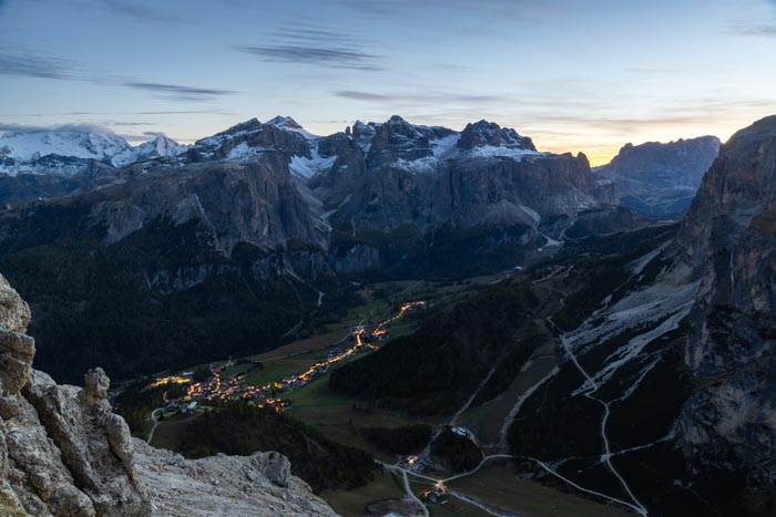
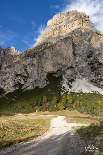
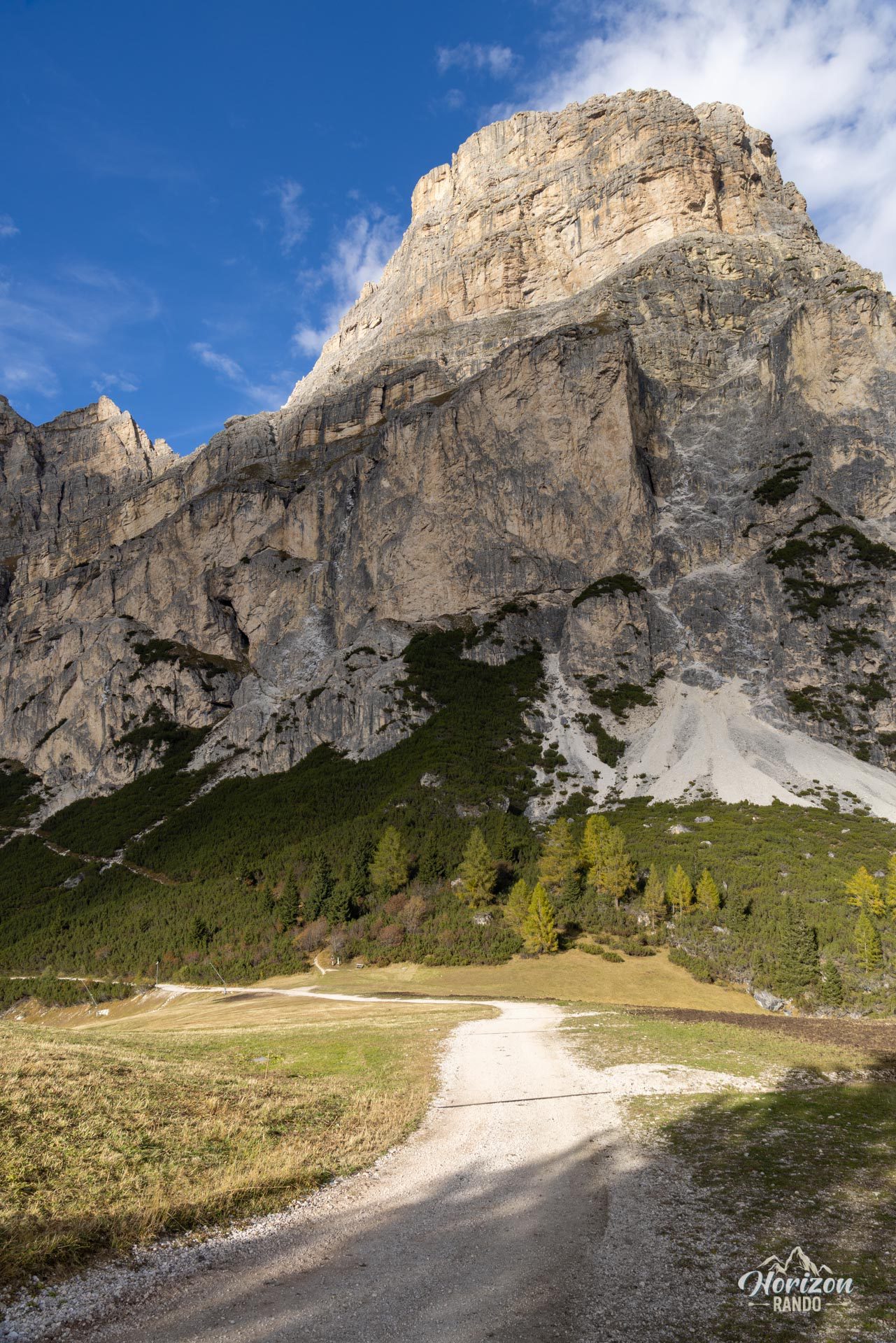
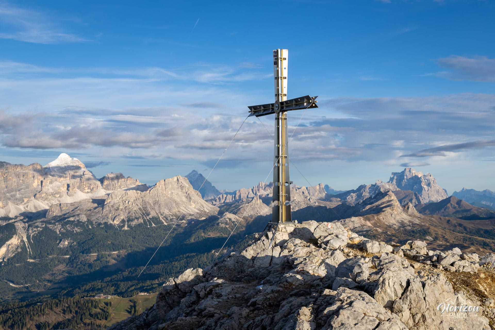
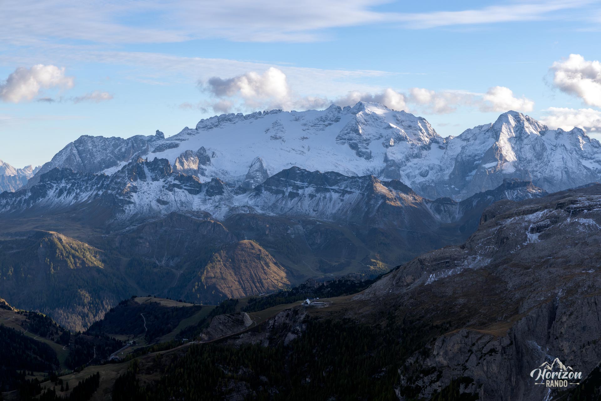
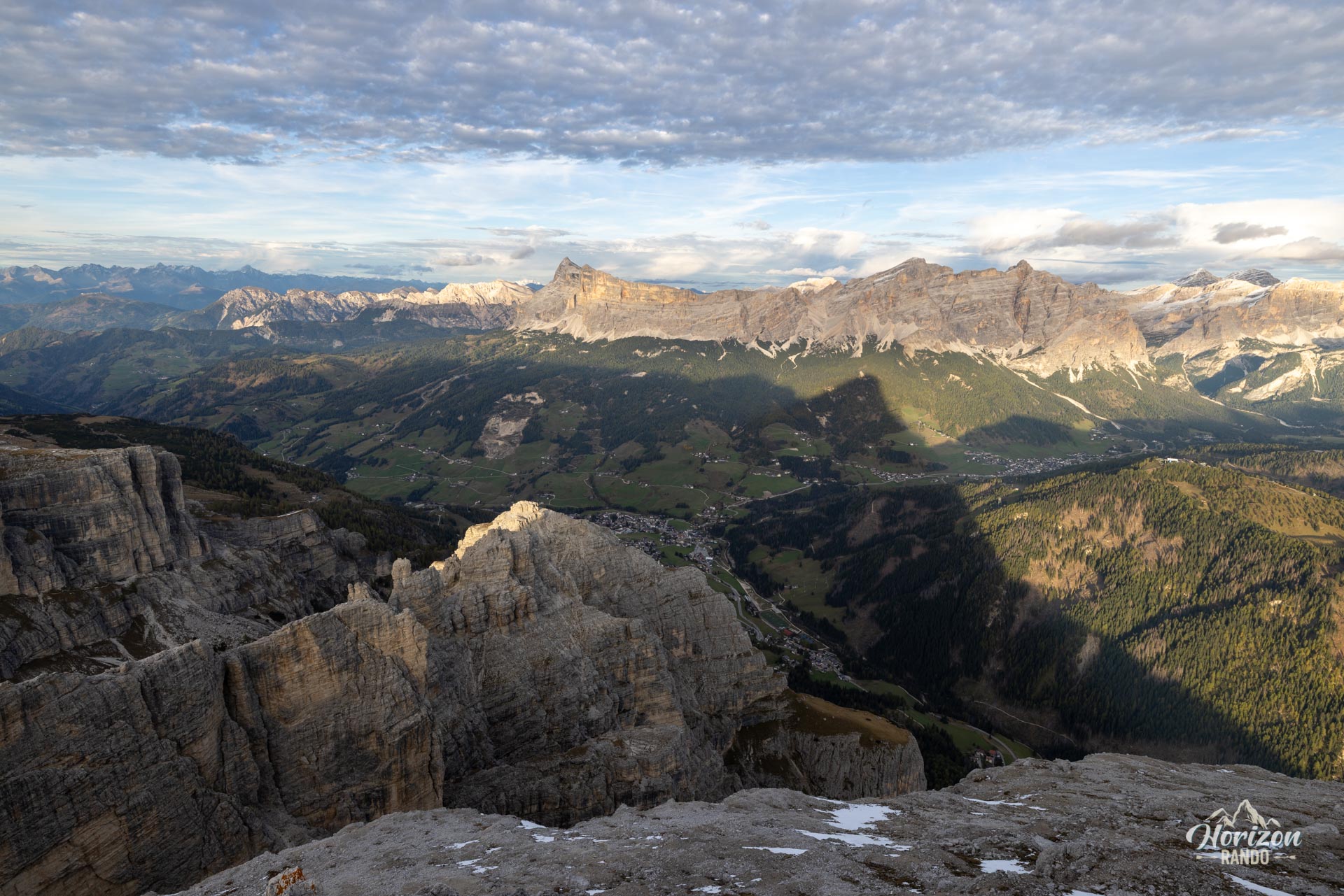
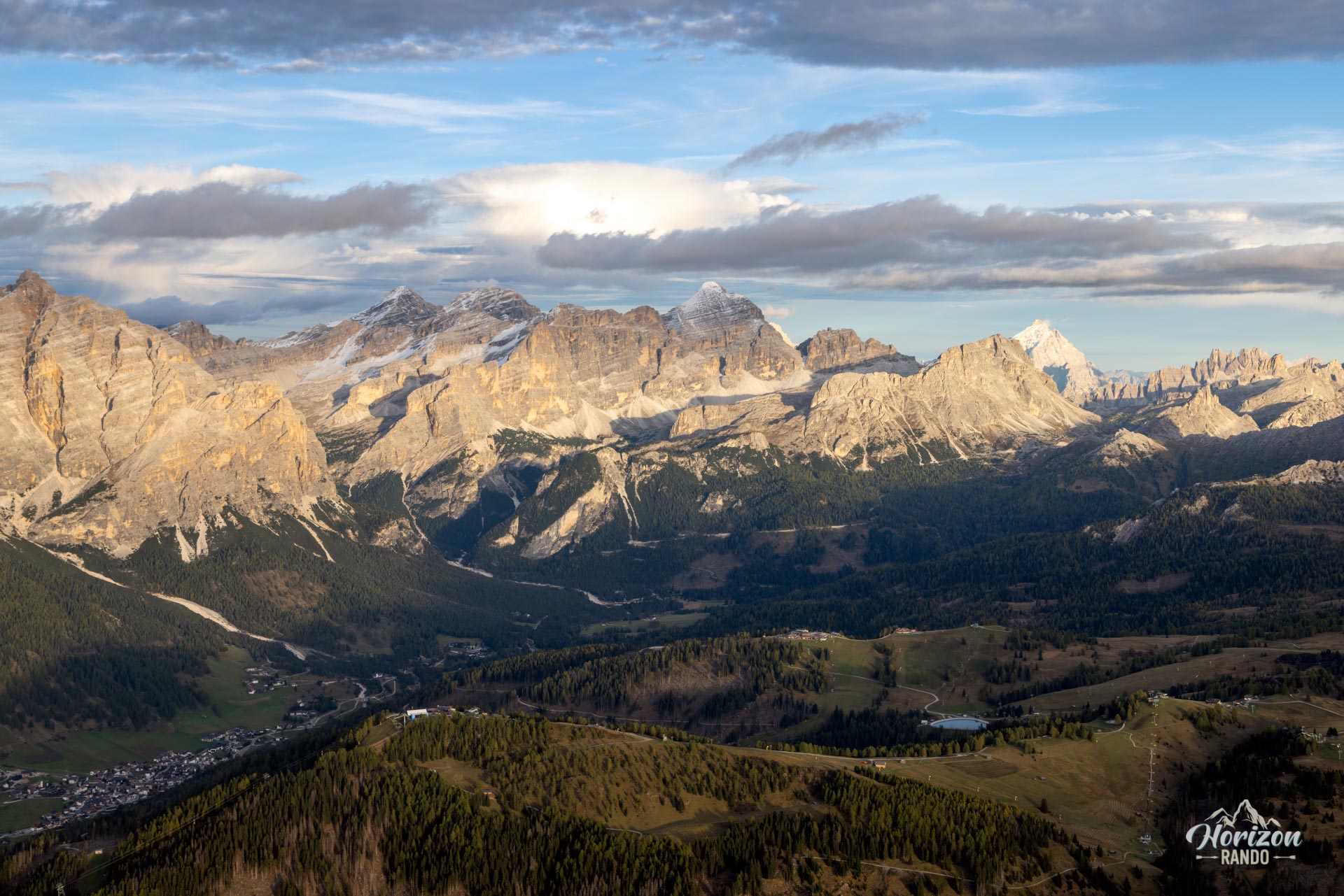
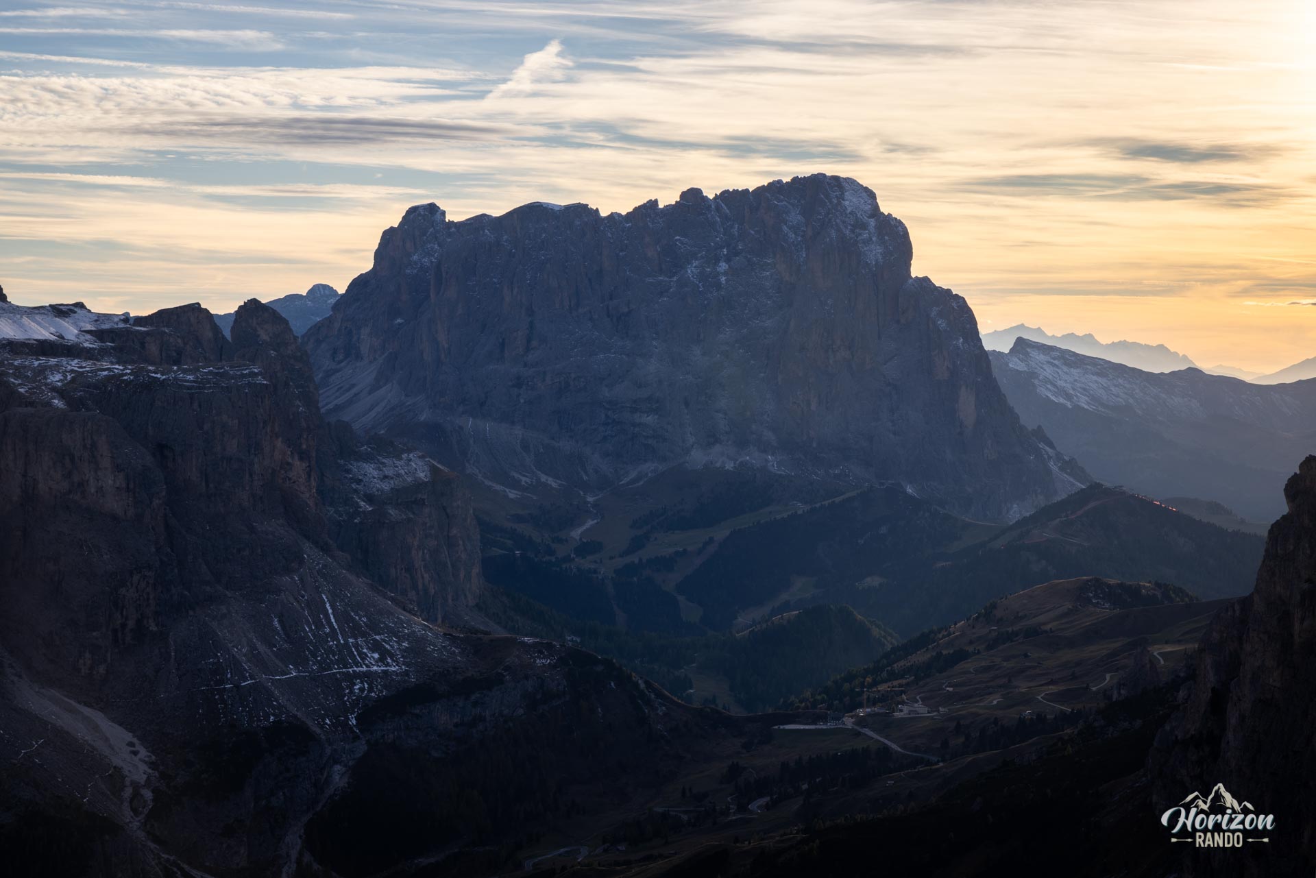
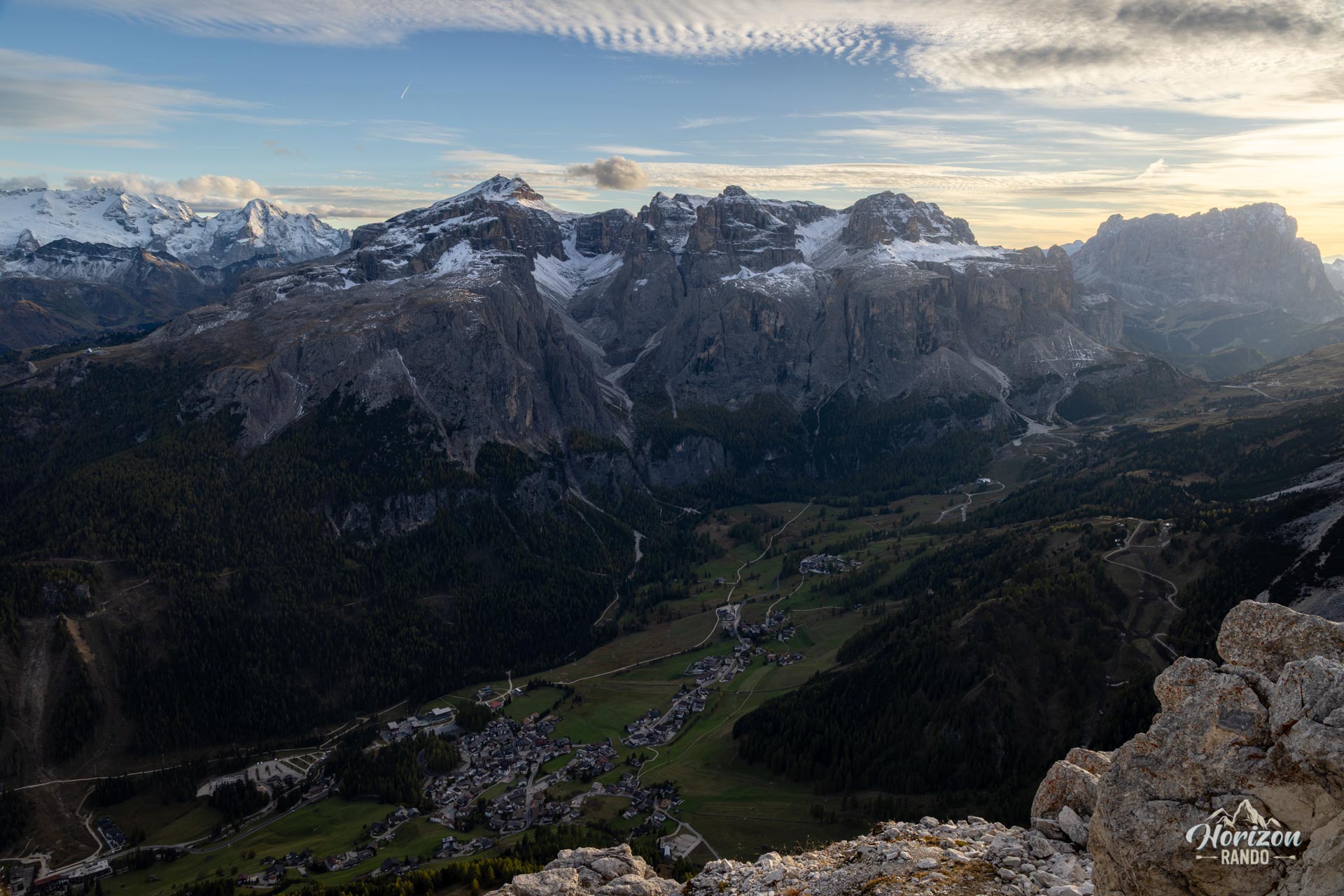
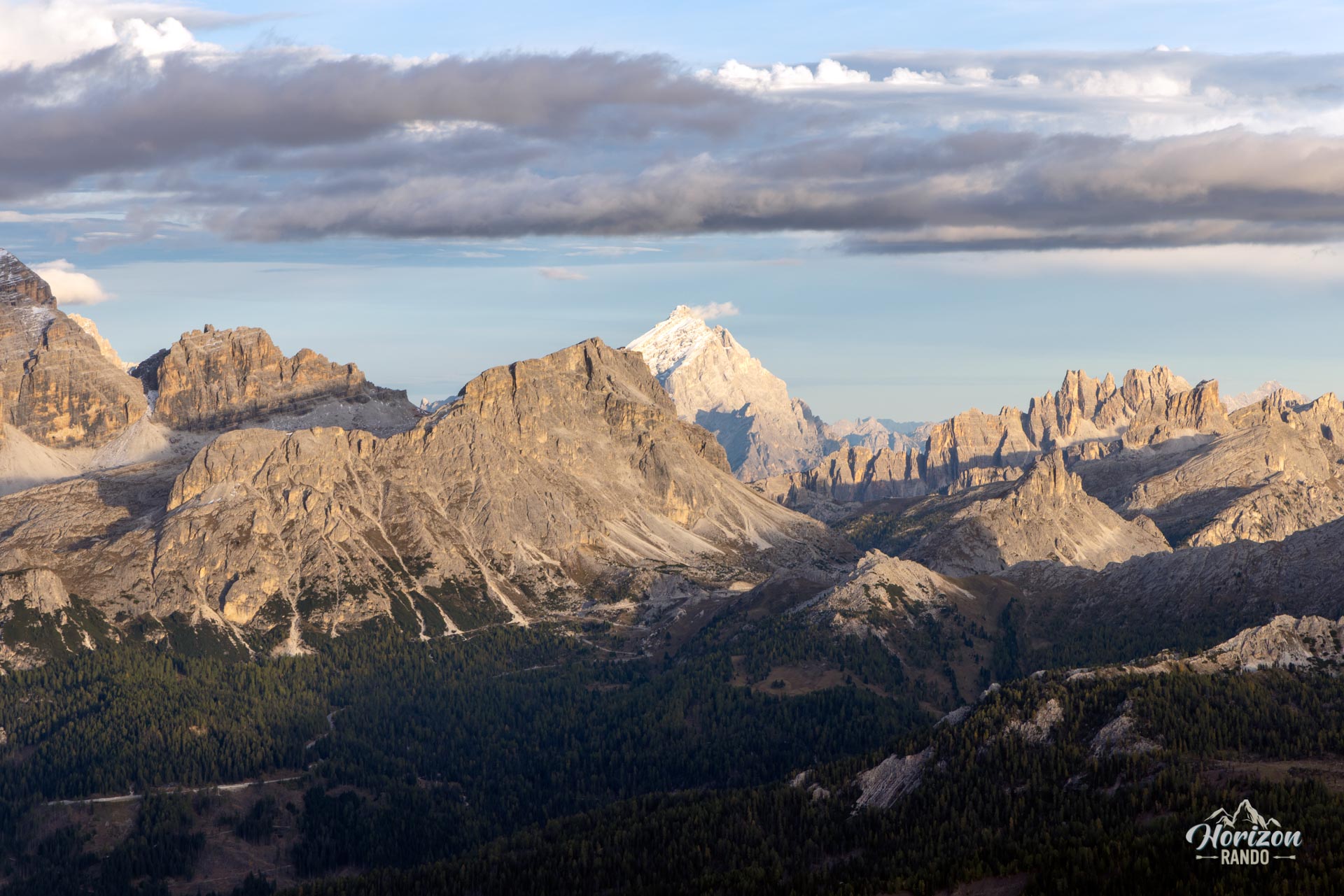
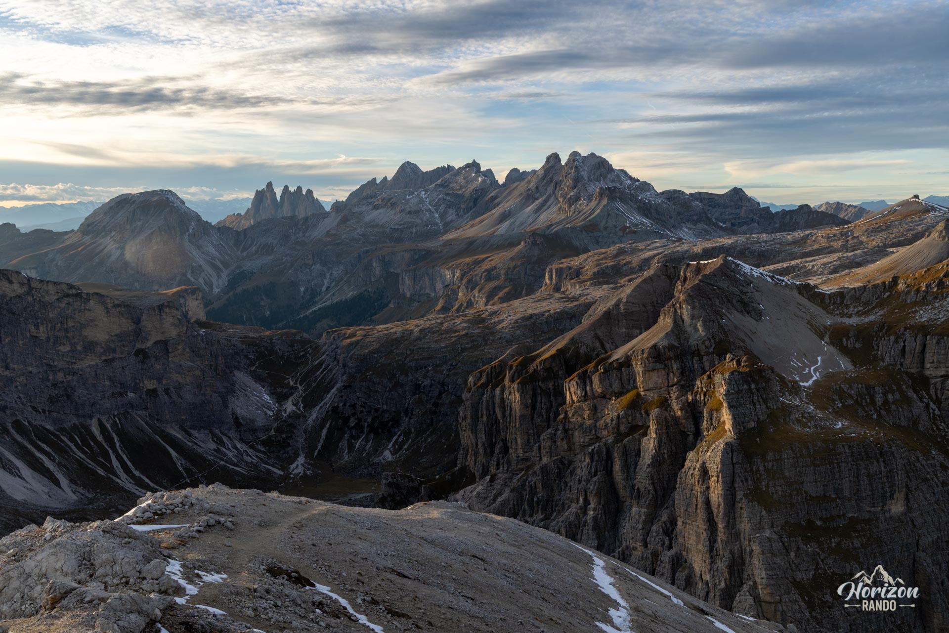
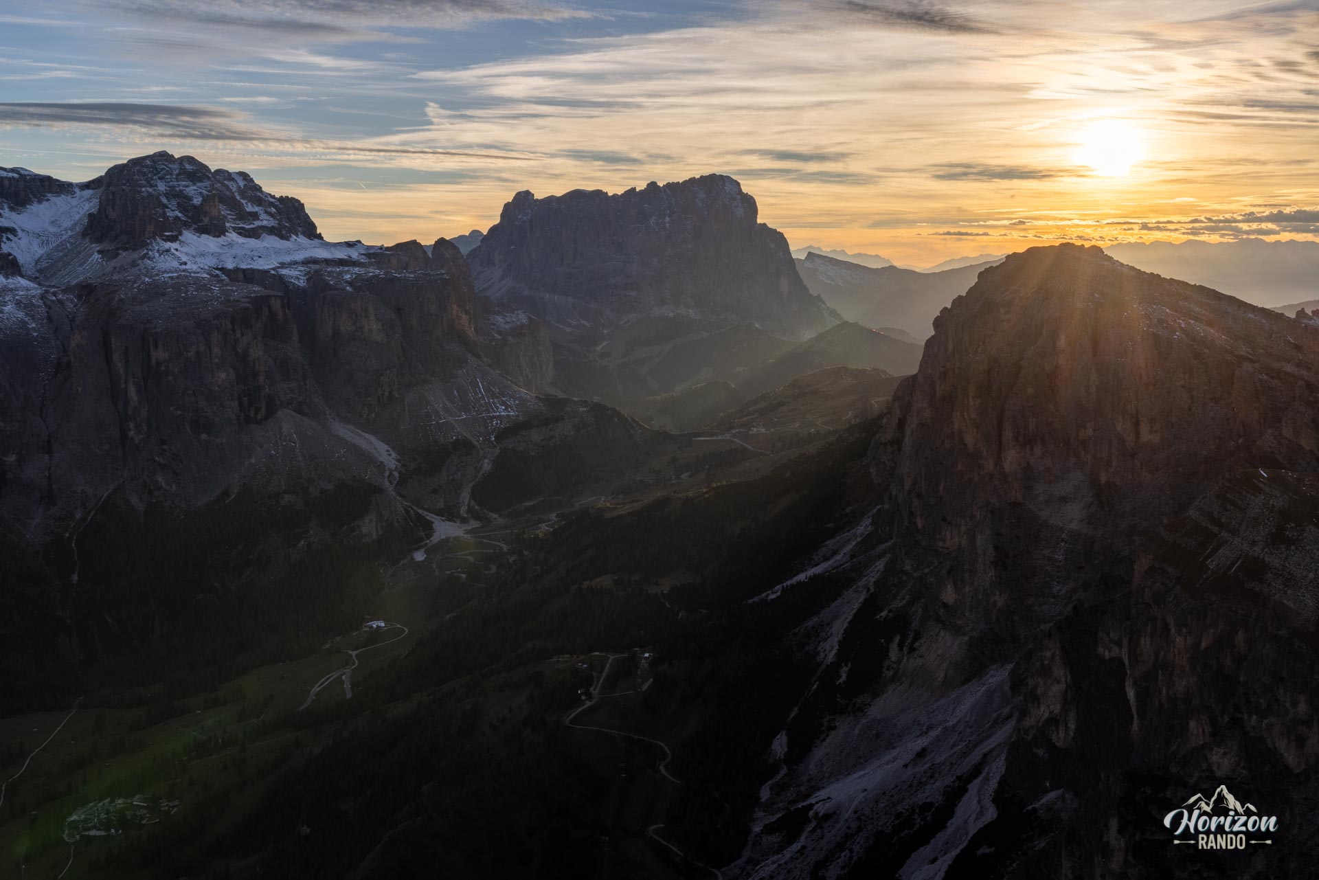
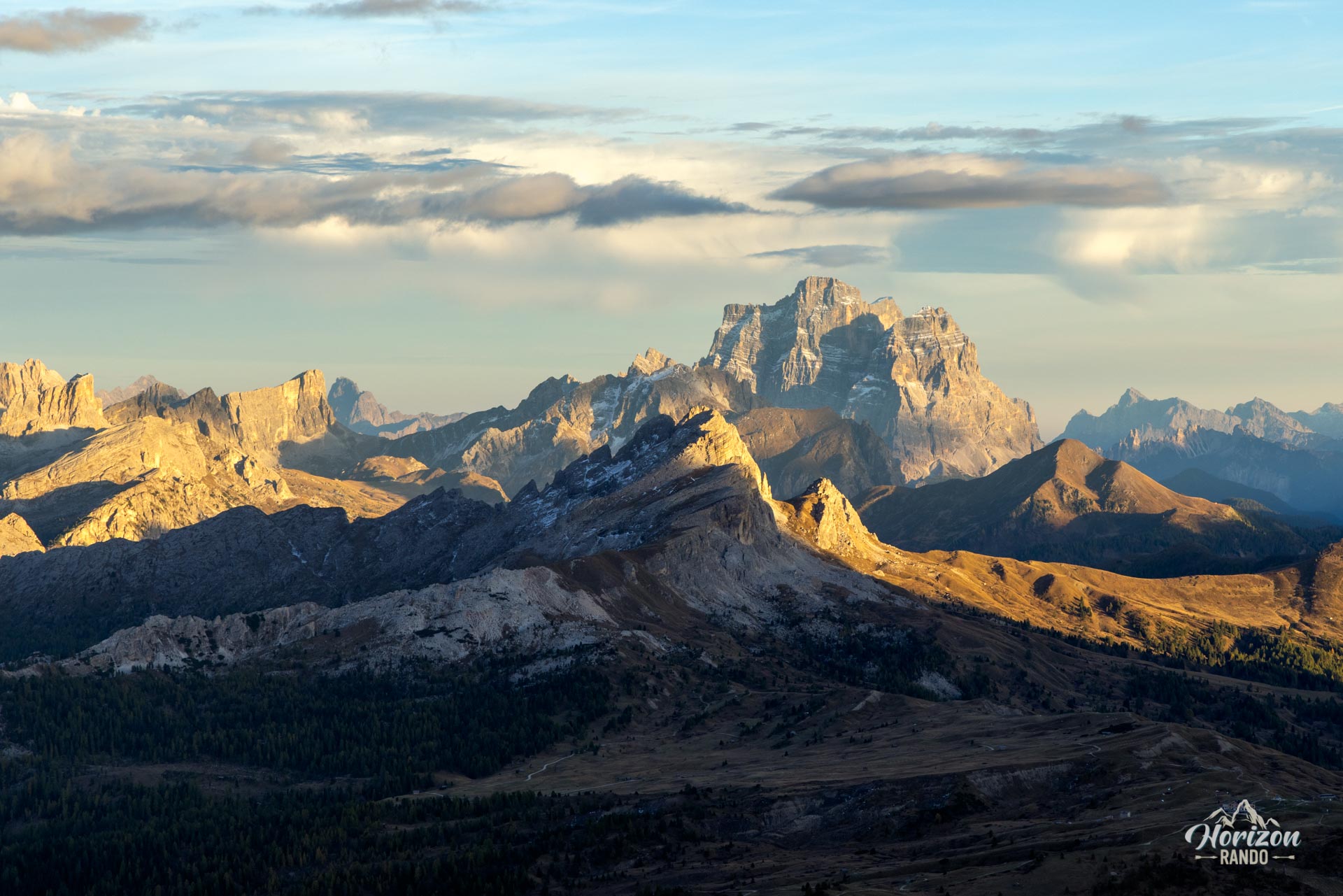
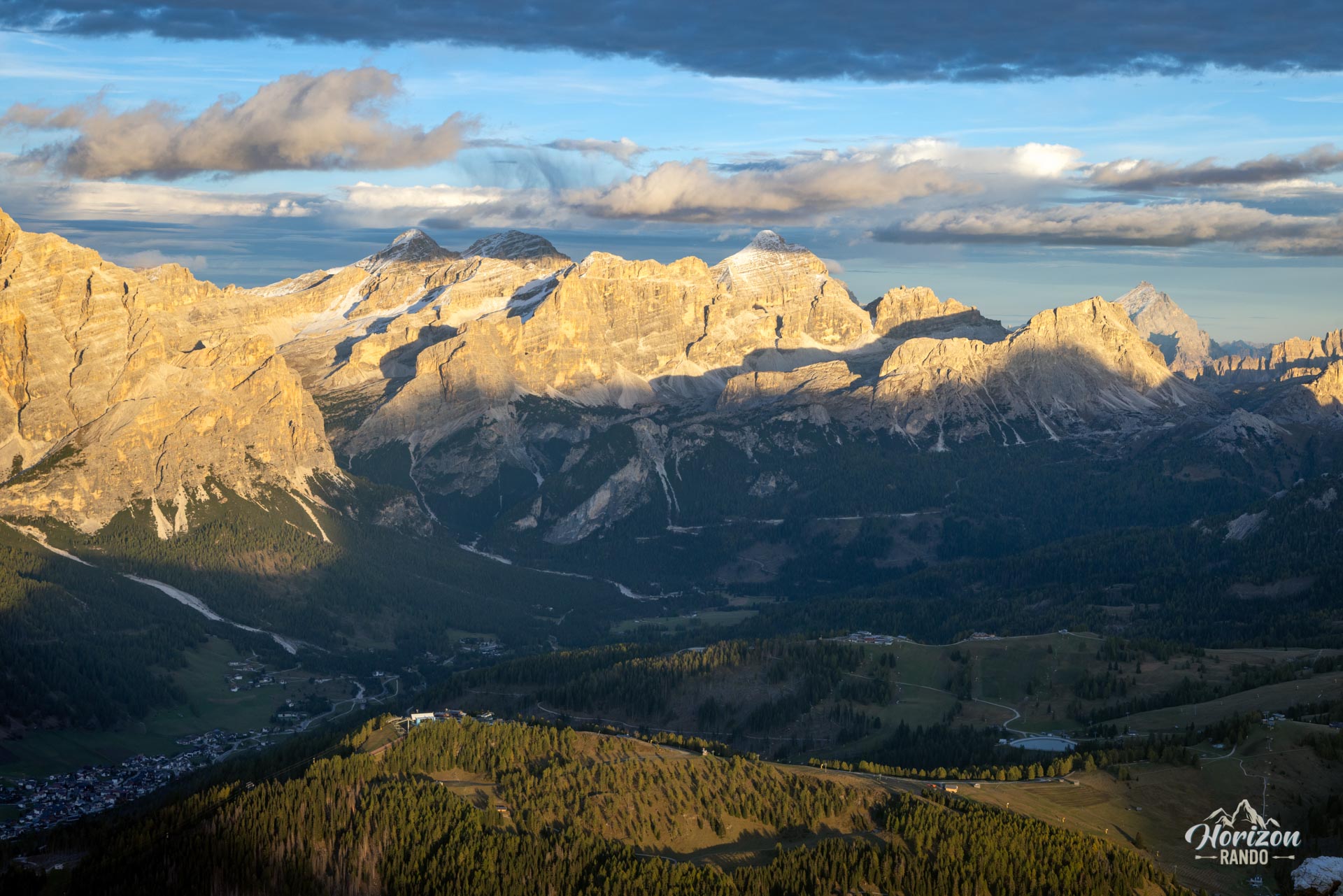
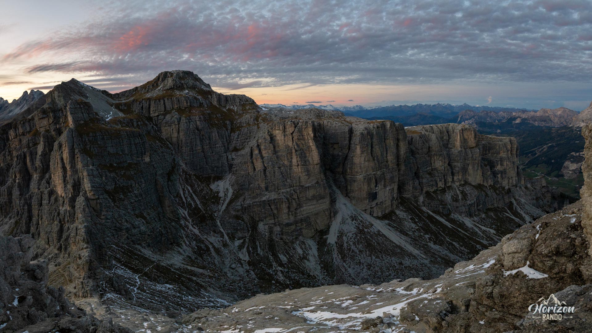
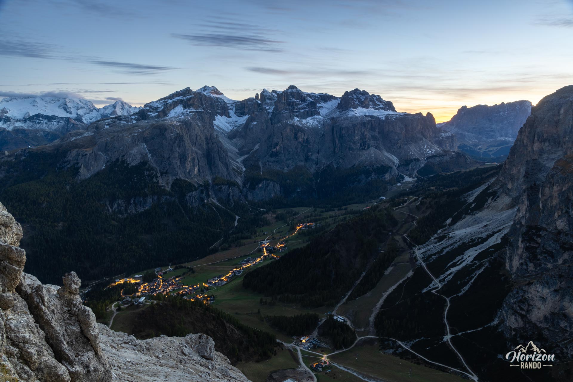
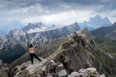
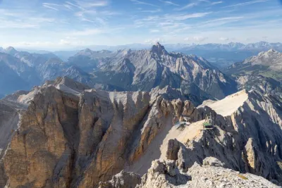
The Sassongher (2,665 m) is the iconic mountain of Corvara and Colfosco. From below, the broad, rocky tower that rises nearly a thousand meters above the Alta Badia Valley appears impassable. However, a trail and a short equipped section on its opposite slope allow you to reach the summit without encountering any major technical difficulties. From the top, you can admire the Sella massif, Sassongher, the Tofane, the Marmolada, and the Puez-Odle group.
Map and elevation profile of the hike
Sassongher Hike
Description and difficulties of the hike
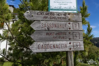
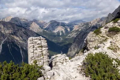
From the Col Pradat parking lot in Colfosco, Trail No. 3 climbs through the forest to the upper station of the ski lifts (Rifugio Col Pradat, 2,029 m). Curiously, no signpost mentions Sassongher at the start, but the mountain is clearly visible from Colfosco, and the route is obvious. After a short descent, take Trail No. 4A which runs along the mountain's flank on a gentle incline before joining Trail No. 4, which comes from Forcella de Ciampëi. At around 2,100 meters, at the next junction, switch to Trail No. 7, which ascends to the right toward Forcella del Sassongher.
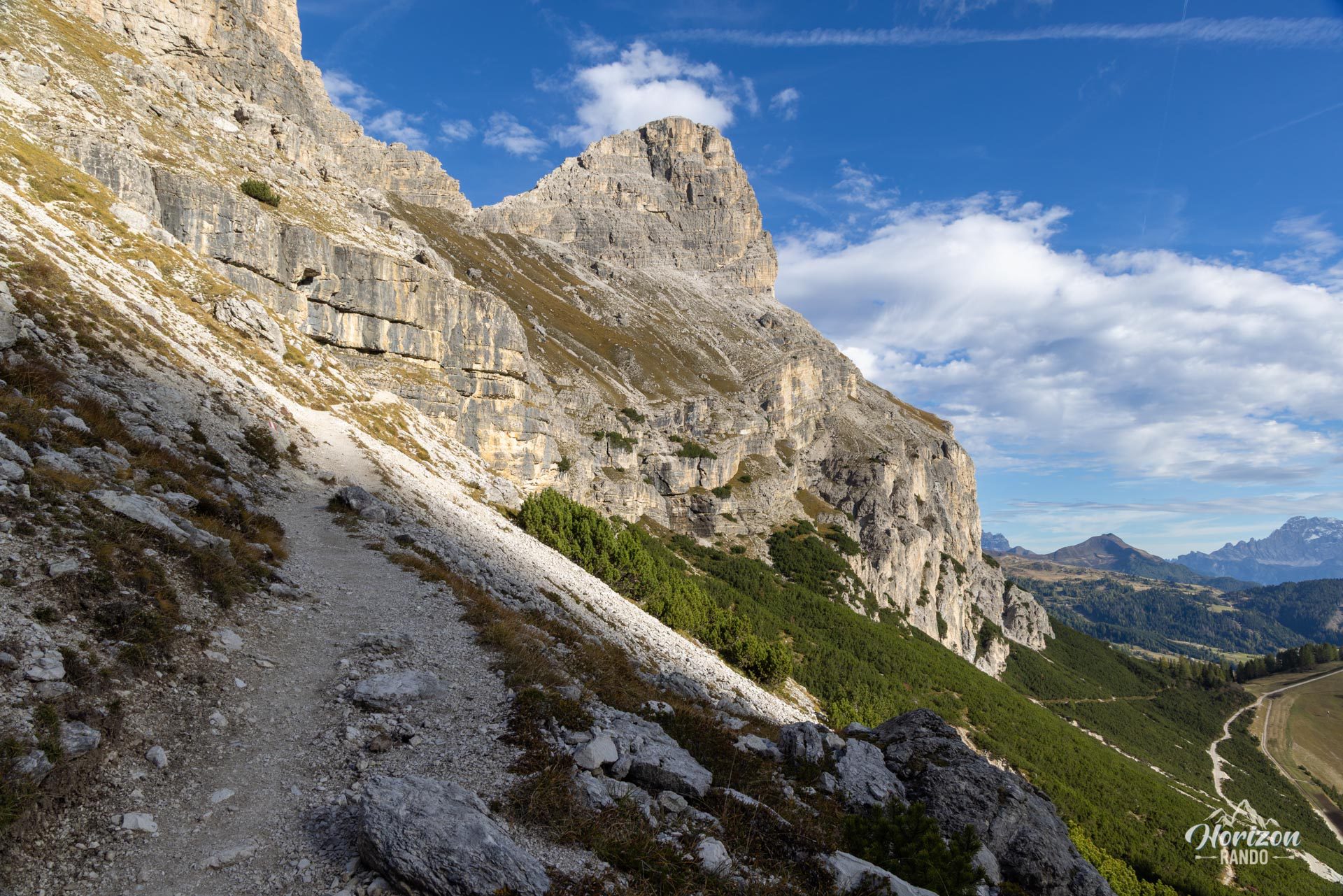
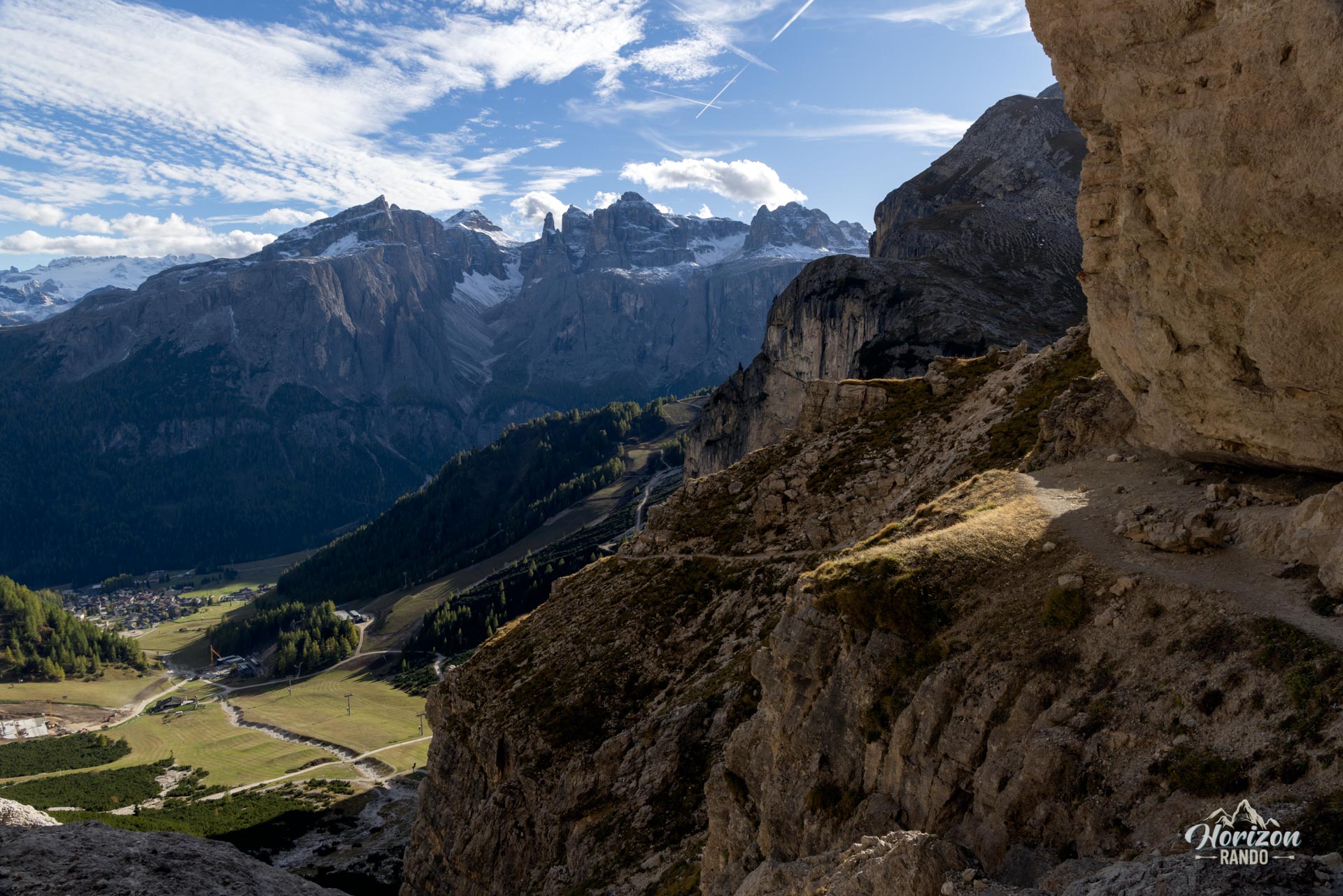
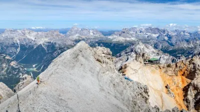
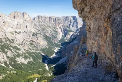
The terrain gradually becomes more challenging with a stony narrow path and traverses along the cliff face, including a few airy sections. Then, there are steep switchbacks leading to Forcella del Sassongher (2,435 m). From this pass, head right to cross a final steep scree and a rather vertiginous ledge up to the base of the equipped section. The via ferrata lasts about 100 meters and is limited to the last five minutes before the summit. It allows you to cross a rock step without any real technical difficulty. Hikers without climbing gear can cross the section by using the cables as a handline, as most people on the trail do. However, wearing a helmet, harness, and via ferrata lanyard is recommended because the rock is crumbly and the number of people above can cause rockfalls.
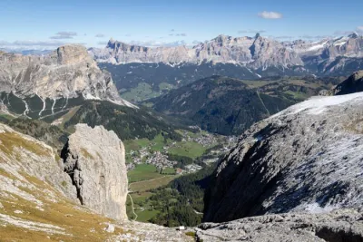
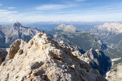
Beyond the cable section, a few switchbacks on scree lead to the large summit cross (2,665 m), which offers a clear, 360° panorama of the Sella Massif, Sassongher, and the Alta Badia Valley. The return follows the same route to the junction with trail no. 4, which you then follow toward the Edelweiss Hut and Colfosco until you reach the trailhead and complete the loop.
What you'll love
- The iconic peak: The Sassongher is to Corvara what the Matterhorn is to Zermatt. Its silhouette dominates the entire Val Badia, and its ascent is one of the region's classics.
- The 360° summit panorama: The Sella Group, the Marmolada, the Sassolungo, the Tofane, the Civetta... Nearly all of the major massifs of the Dolomites unfold before your eyes.
- Reasonable foot traffic: Despite its status as a local icon, Sassongher remains significantly less crowded than many neighboring hikes.
Practical information
Parking
Parking at the base of the Col Pradat ski lifts requires a fee. A small, free parking lot is available a few hundred meters down the road. It's a good option in the off-season but fills up quickly in the summer.
Equipment
A helmet, harness, and via ferrata lanyard are recommended, even though most hikers complete the section without them. It's better to bring the equipment and not use it than the other way around.
Photos
See all 17 photos →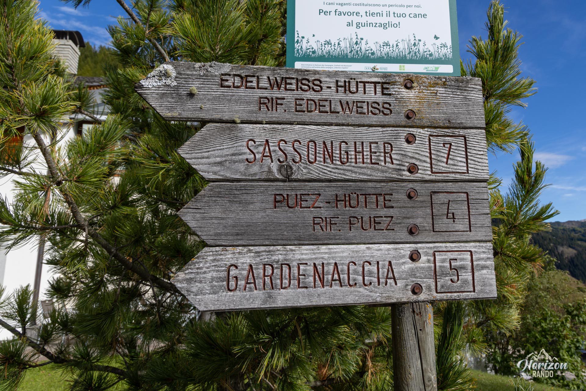
More hikes to do in the Dolomites
Nearby hikes
Printed from www.horizonrando.fr/en/hiking-dolomites/sassongher-hike/