





GR20 Stage 9 – Alpine Variant
Key facts about the hike
- Difficulty
- Hard Hikes are rated from very easy to very hard: my difficulty scale
- Duration
- 7h Estimated time, short breaks included (photos, water, snacks), picnic not included: how it is calculated
- Distance
- 12km
- Elevation gain
- 1,090m
- Elevation loss
- 1,580 m
- Type of route
- One way
- Maximum altitude
- 2,390 m
- Vertiginous Five levels, depending on how exposed the route is: the levels in detail
- Highly
- Marked
- Yes
- Popularity
- High
- Region
- Center
- Start point
- 42.15295, 9.07362
- Activity
- Trek - GR20
Hike overview
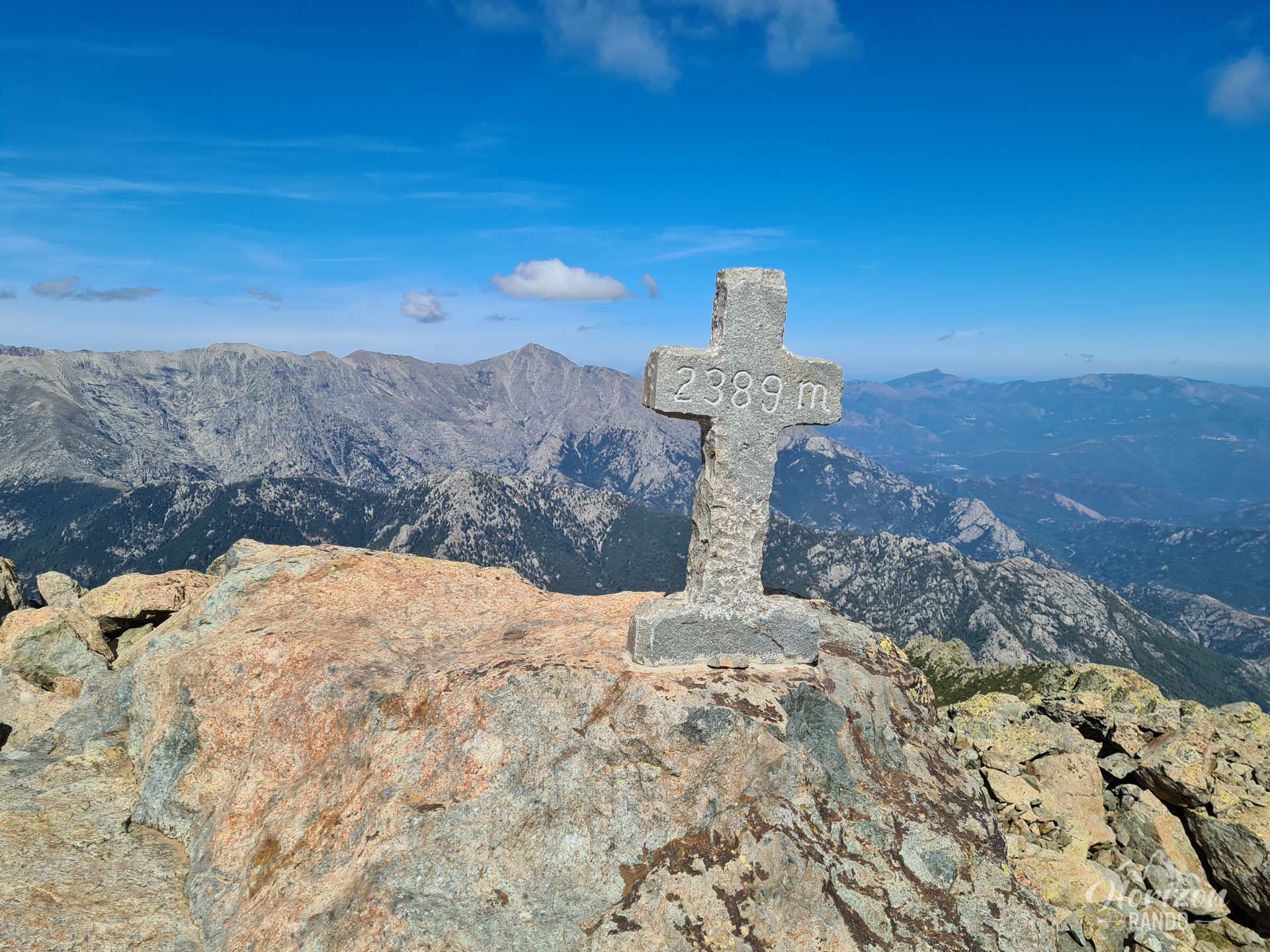
The ninth stage of the GR20 north-south trail connects the Onda (1,430 m) and Vizzavona mountain huts. Hikers can choose between two routes: the classic route through the Agnone Valley or this alpine variant via the summit of Monte d'Oro (2,389 m).
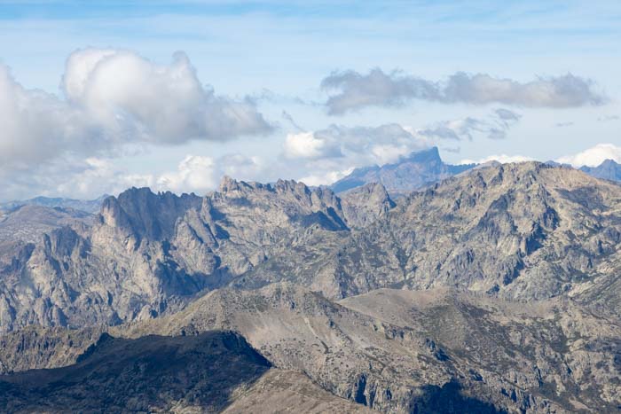
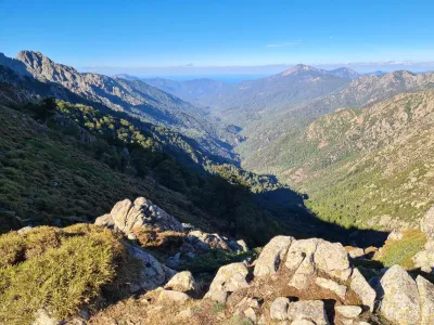
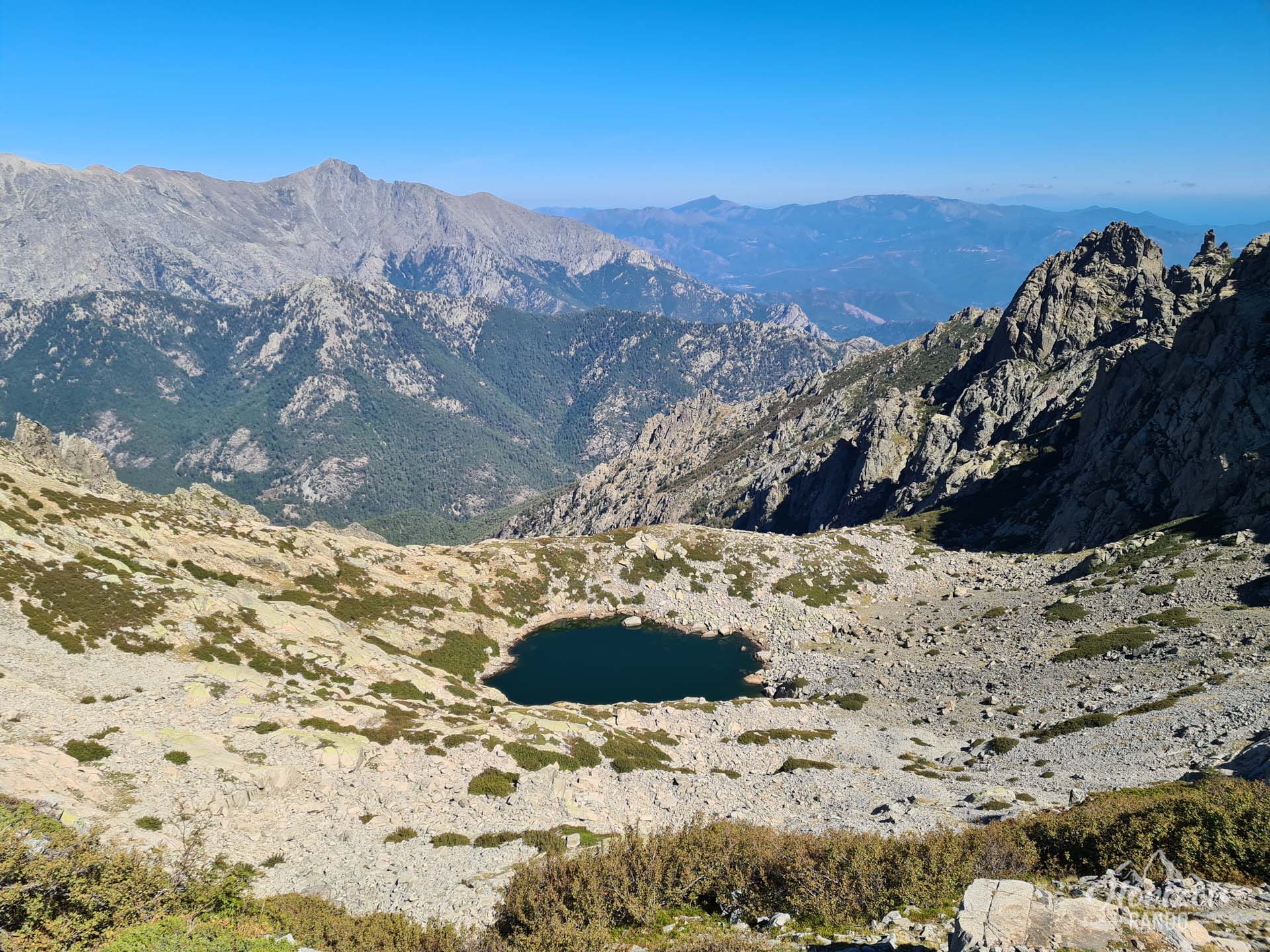
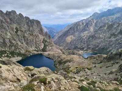
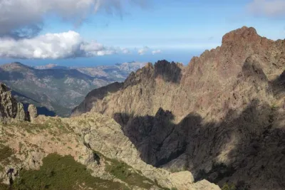
While the standard route descends gently toward the Cascades des Anglais, this alternative route involves a technical climb up one of Corsica's most beautiful peaks. After Bocca Muratello, the route branches off to climb toward the ridges, crossing a spectacular mineral landscape and rewarding hikers with an exceptional panorama. A long descent through scree and then through the Vizzavona forest leads to the village of the same name, marking the end of the GR20 North.
Map and elevation profile of the hike
GR20 Stage 9 – Alpine Variant
Description and difficulties of the hike
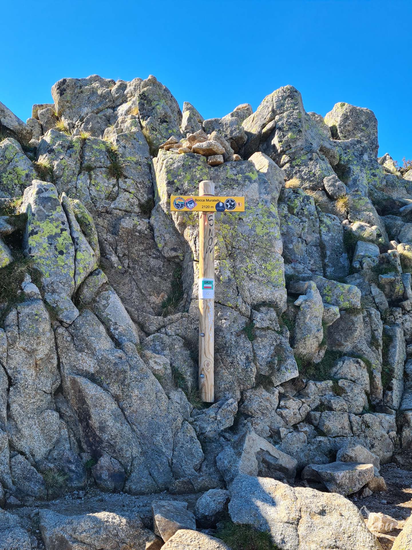
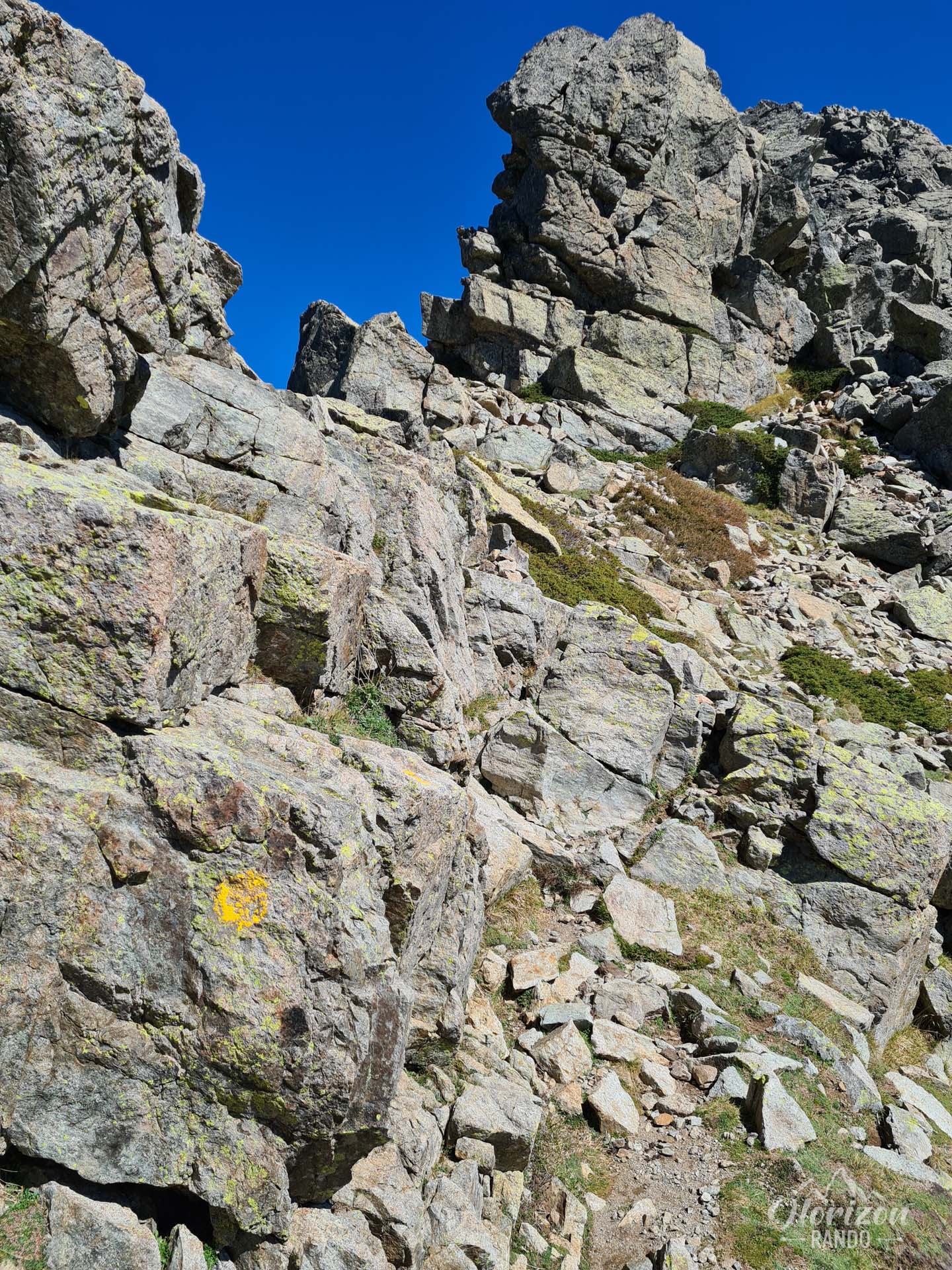
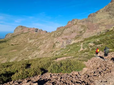
This alpine variant is one of the most technical stages of the GR20 and is intended exclusively for experienced hikers. The trail begins as the classic route does, with a steady but not particularly difficult climb of about two hours to the Muratello ridge (2,110 m). After the fork just after the pass, the yellow markings guide you across the mountainside, then up a steep incline to Bocca di Porco (2,159 m).
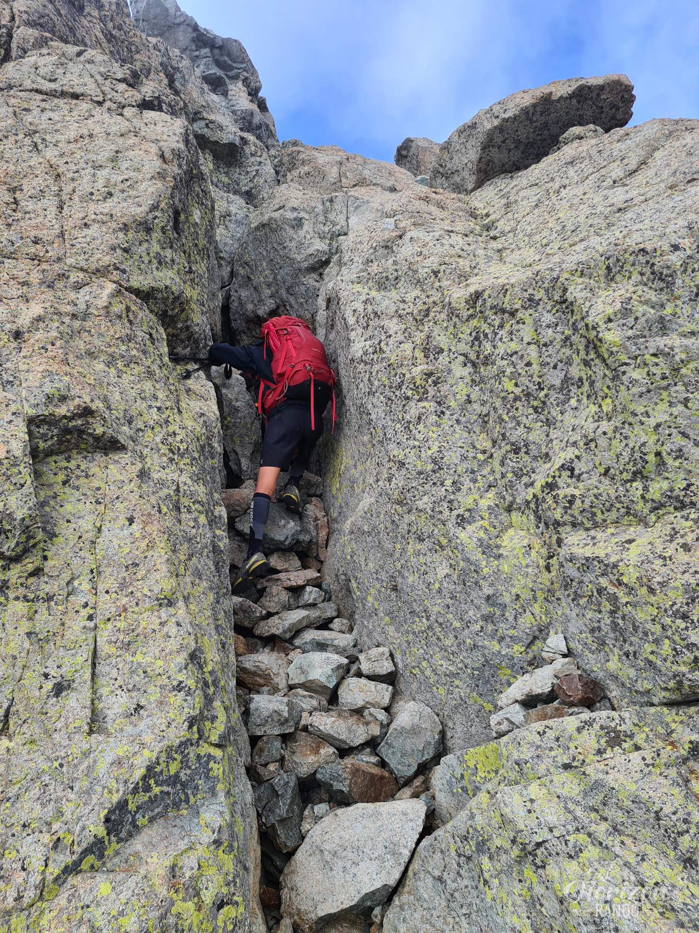
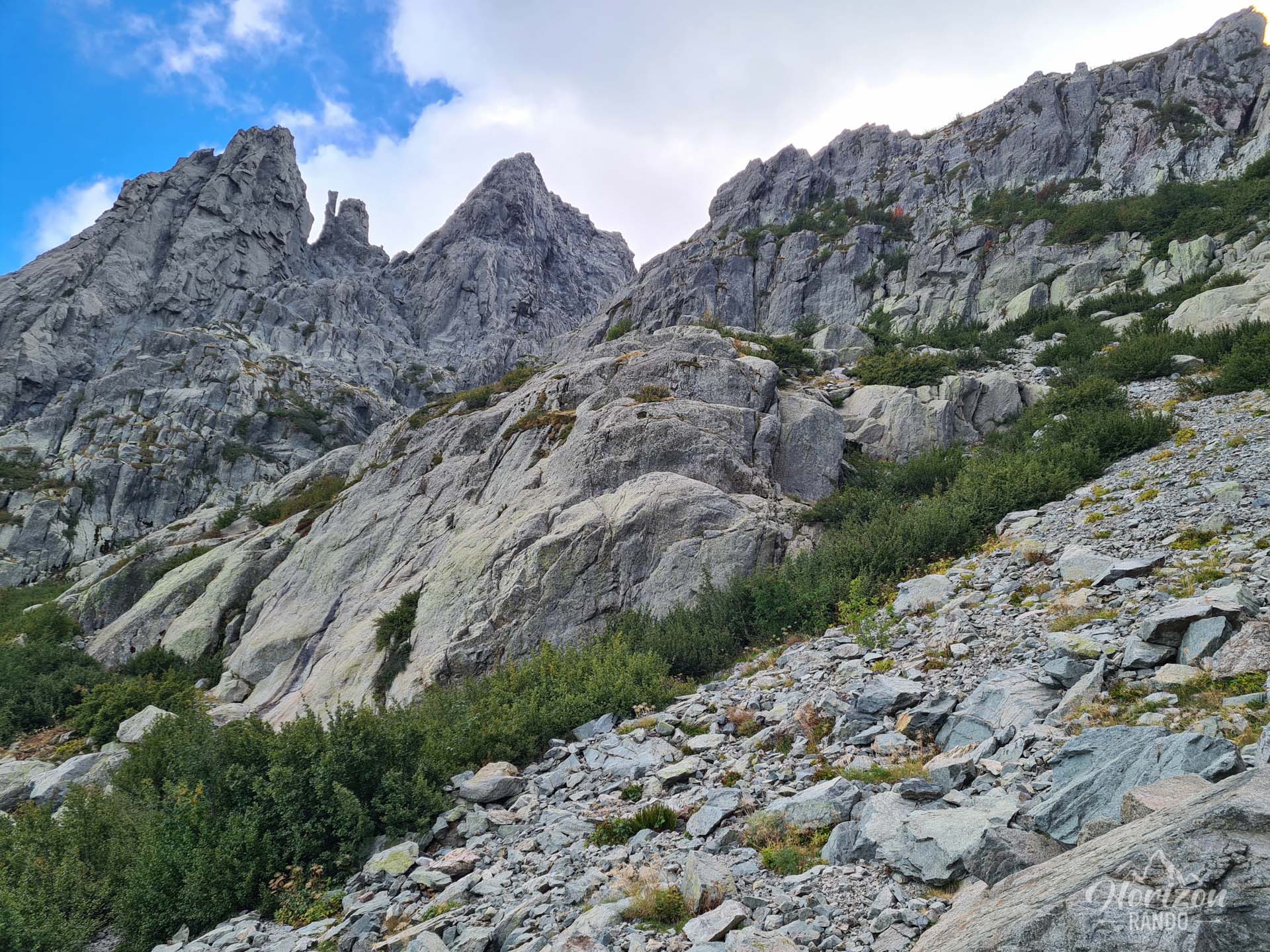
The most challenging section is at the summit. The final ascent of Monte d'Oro is very technical and often requires to scramble. The trail crosses unstable scree, runs along exposed ridges, and includes a short chimney that requires some easy climbing just before the summit. The yellow markings, sometimes supplemented by cairns, require constant vigilance, as they are not always clearly visible.
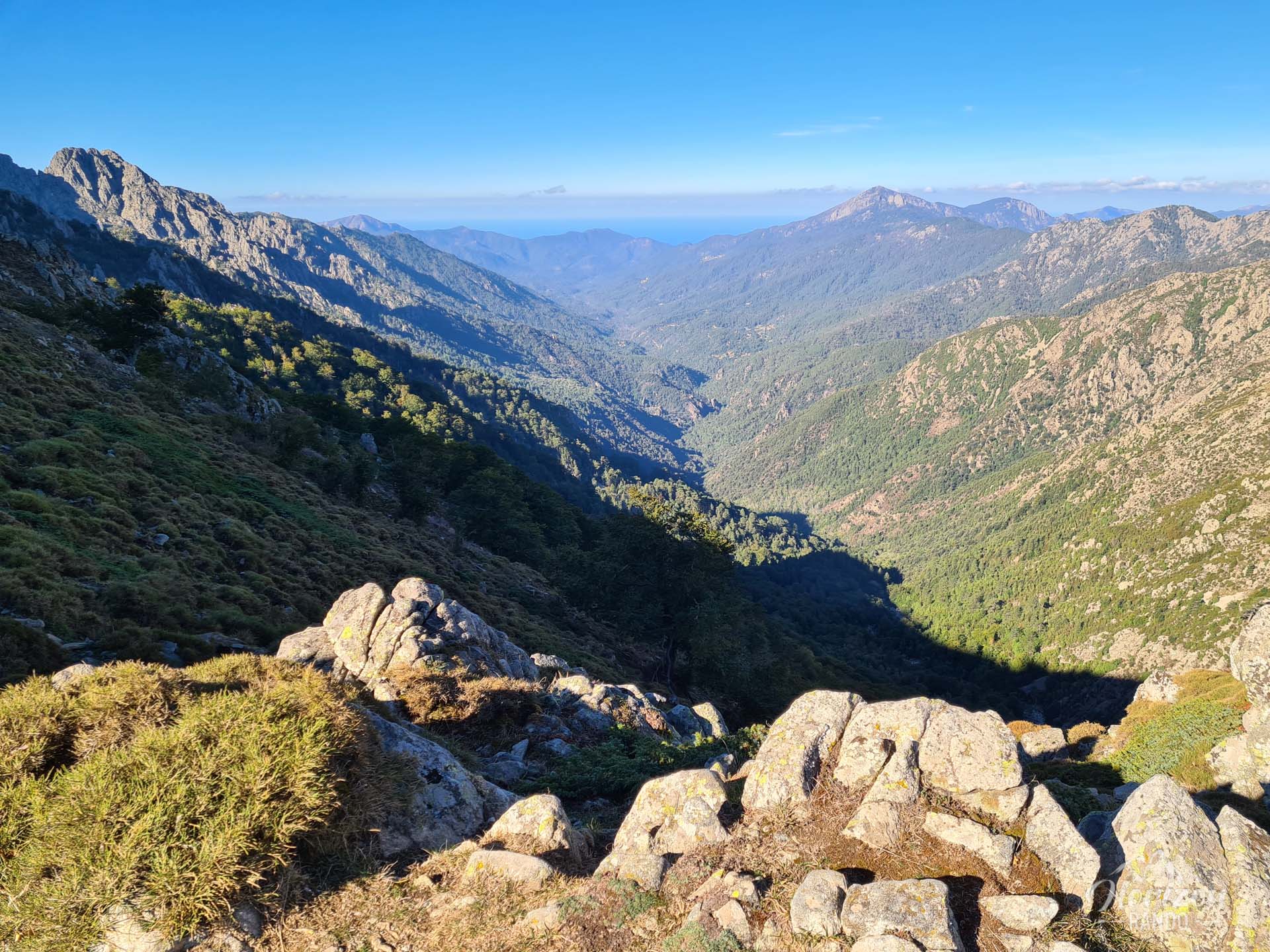
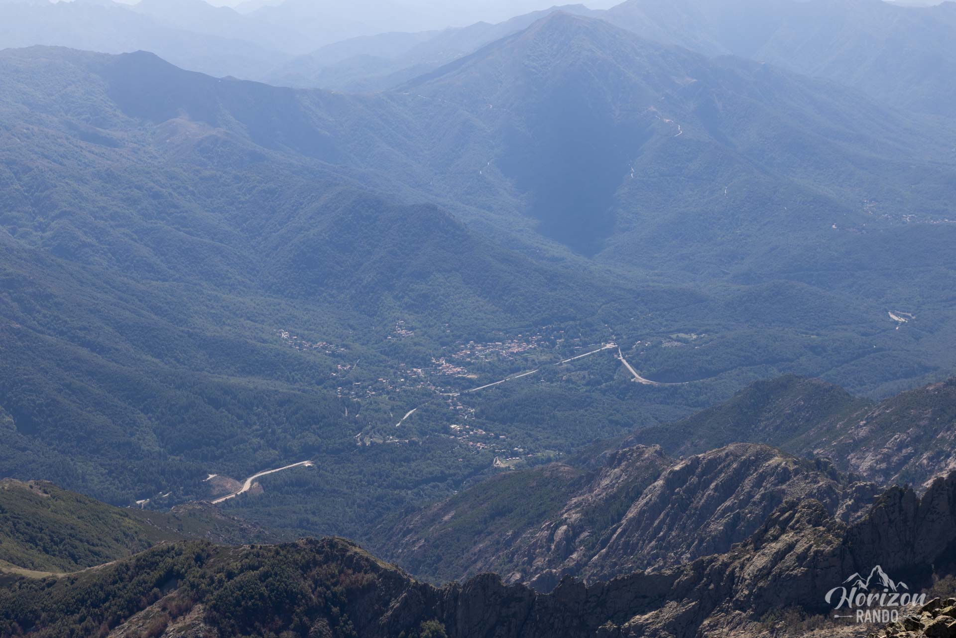
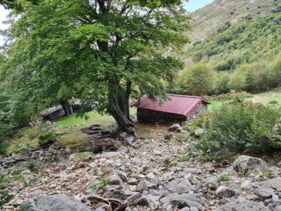
The descent to Vizzavona involves about 1,500 meters of elevation loss and is particularly challenging. It begins with the Scala, a steep couloir of unstable scree and rocks where snowfields can persist until July. This very steep section requires great caution, especially since fatigue sets in after climbing to the summit. The trail then crosses the ruins of the Pozzatelli sheepfolds before gradually entering the Vizzavona Forest. There, the descent becomes easier.
Important: This variant should only be attempted in good weather without strong winds or the risk of storms. It requires sure footing and good orientation skills.
What you'll love
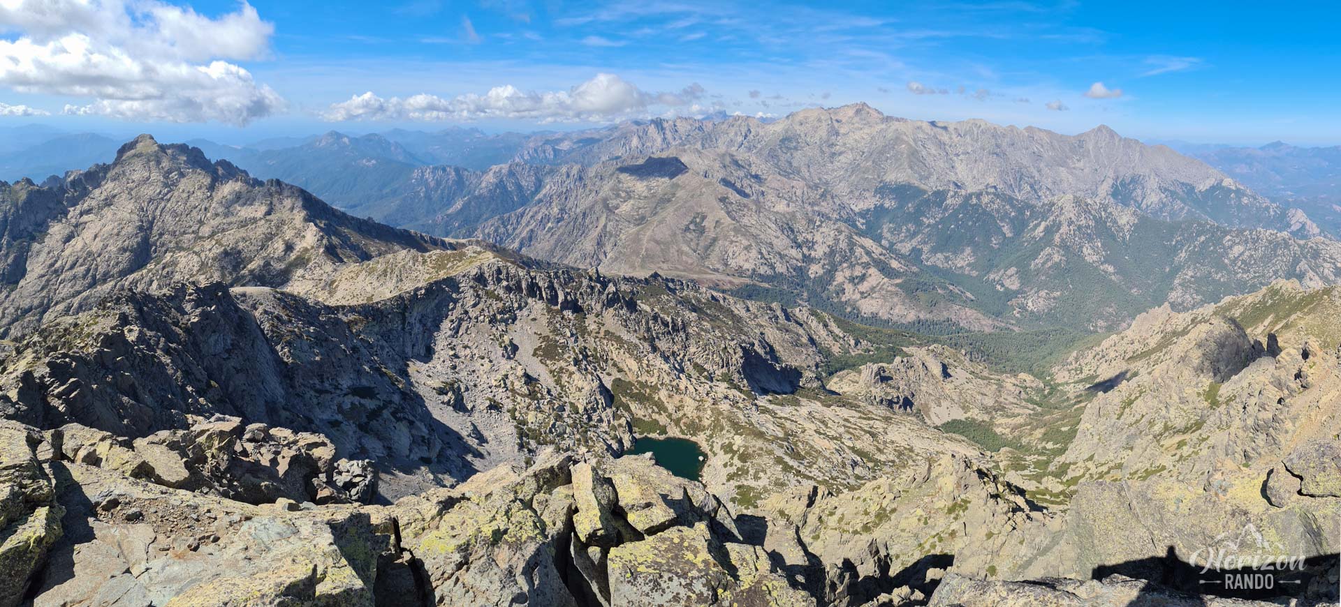
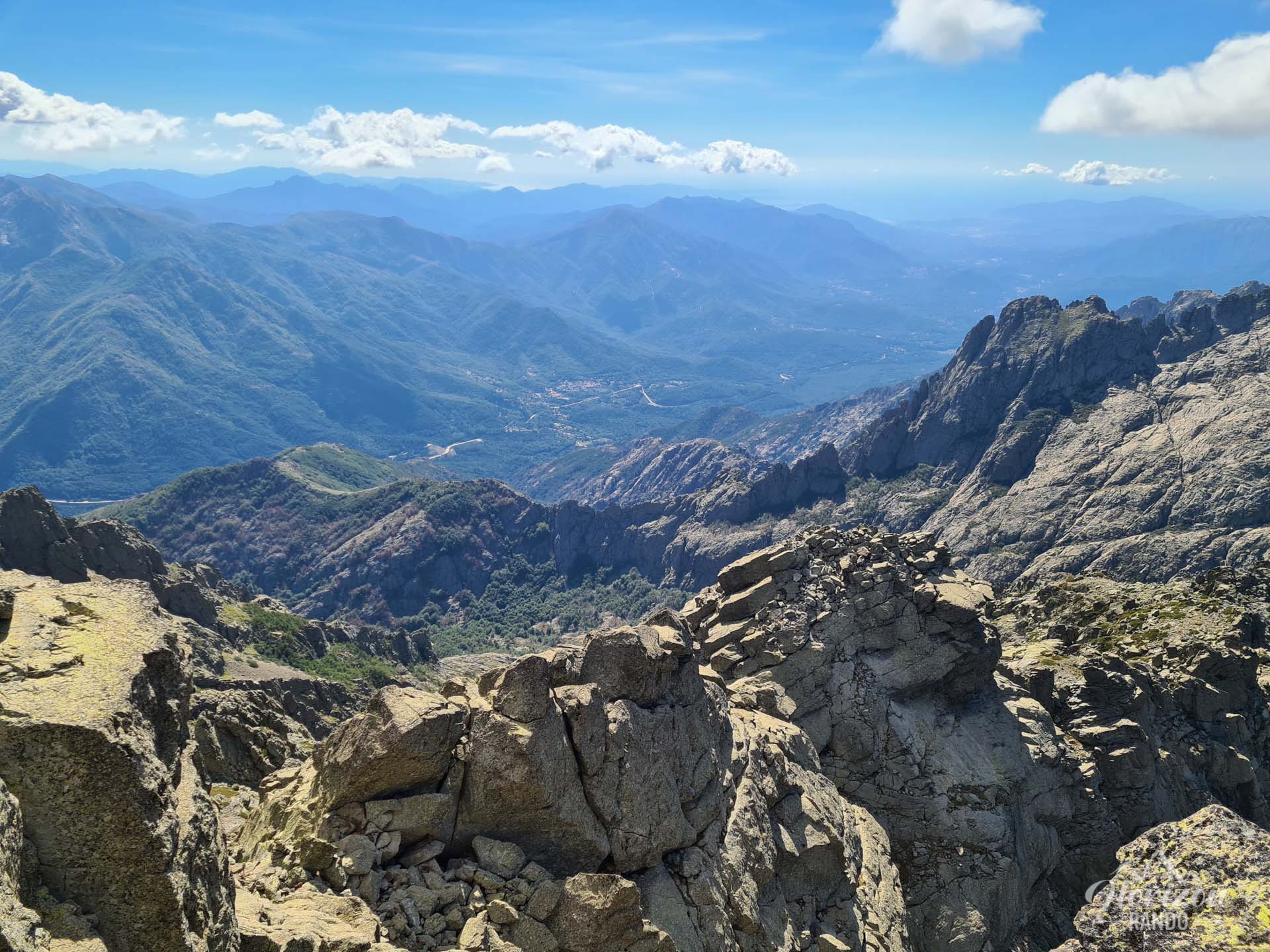
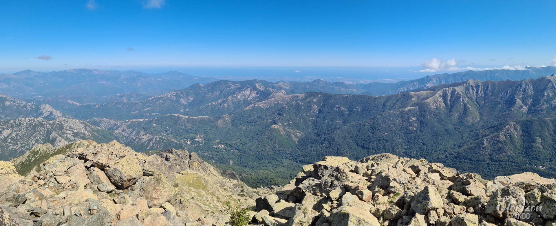
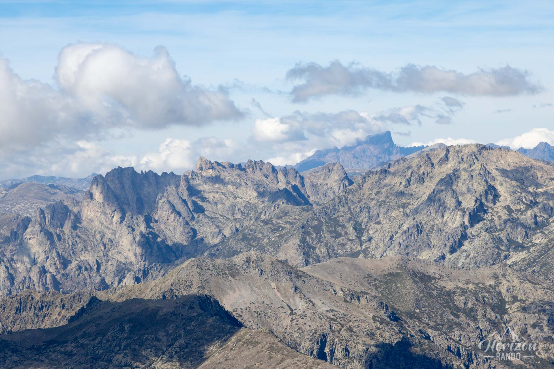
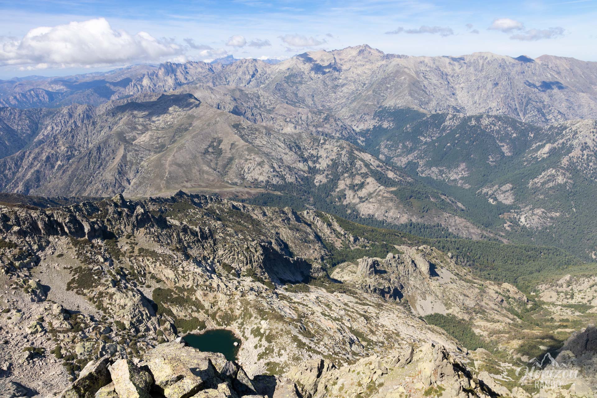
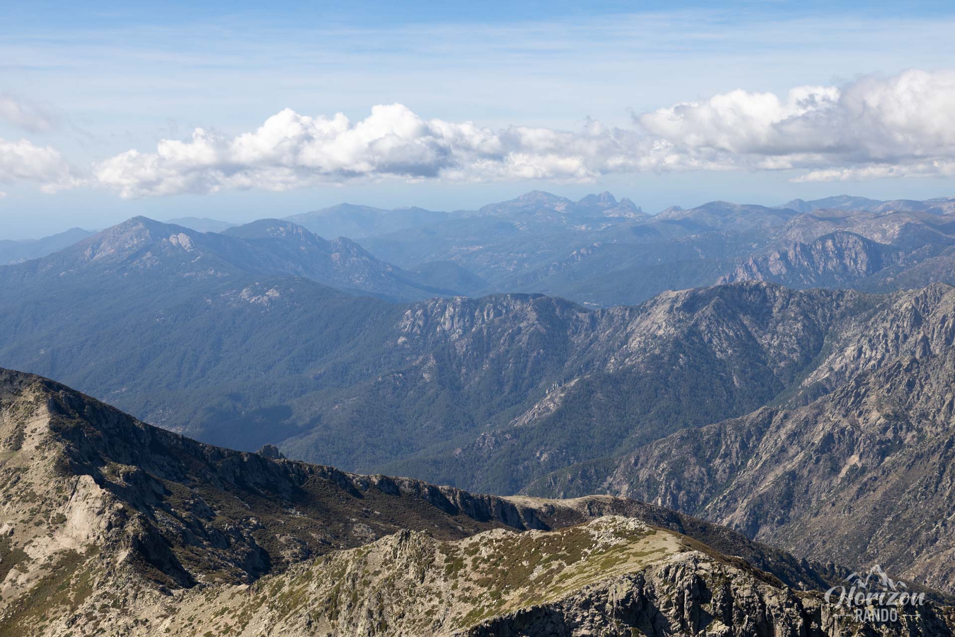
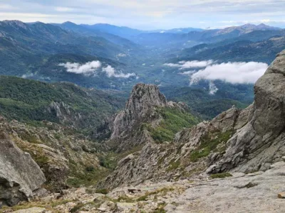
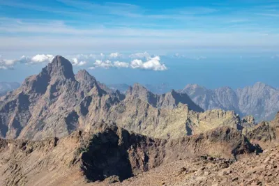
- An exceptional panorama from the summit: The central and isolated position of Monte d'Oro makes it an exceptional natural observatory over a large part of Corsica, from the east and west coasts to the highest peaks of the island, including the Rotondo massif.
- The isolated, uncrowded summit, offering a beautiful, high-mountain experience far from the crowds of the classic GR20.
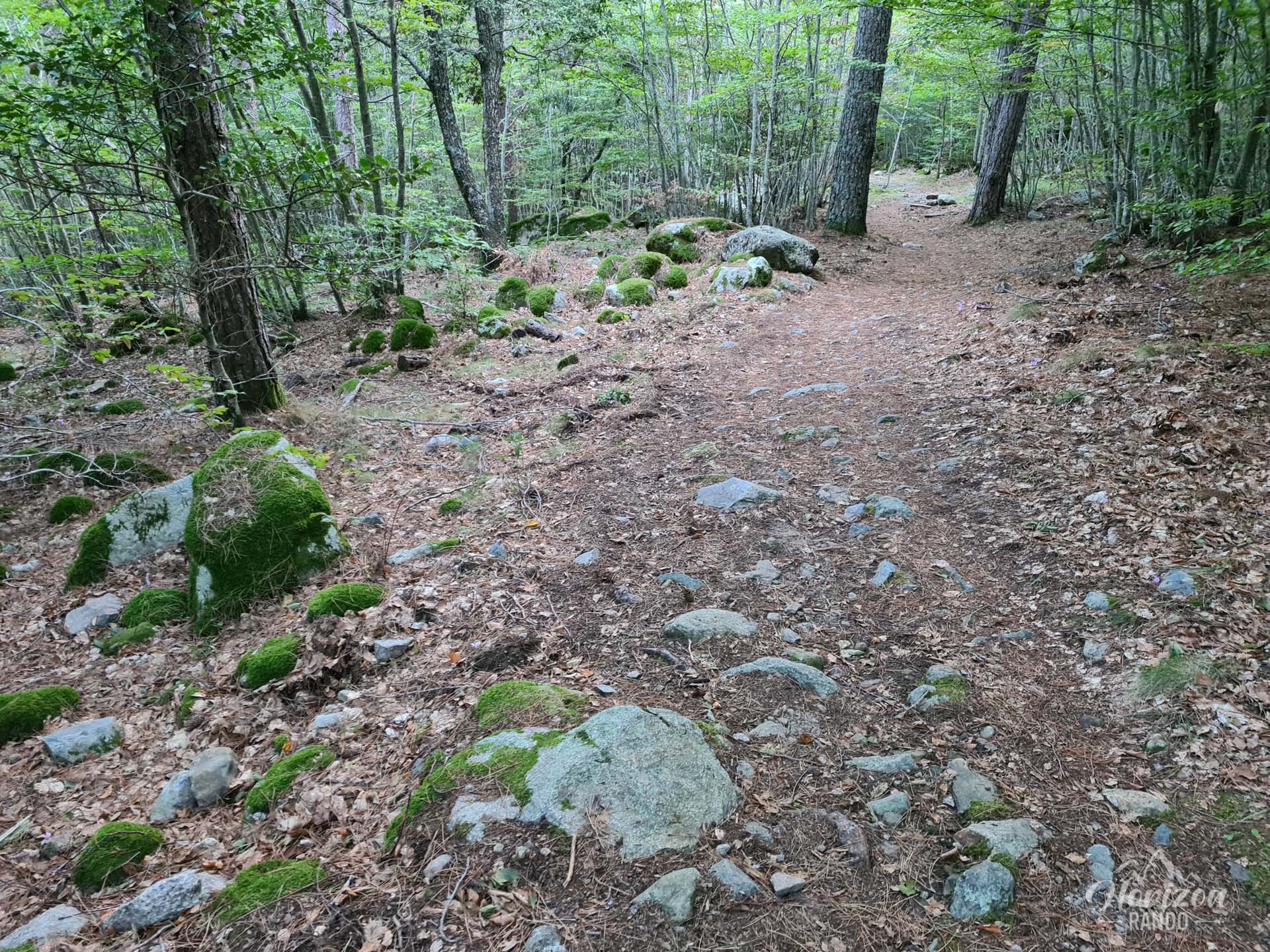
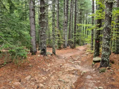
- The descent through the Vizzavona Forest, composed of laricio pines and beech trees, offers welcome coolness after the climb.
Practical information
Arrival in Vizzavona
Congratulations! You have reached Vizzavona, which marks the end of the nine stages of the GR20 North and your return to civilization. The village offers several lodging options in addition to the traditional stopover lodge. However, don't expect a highly developed town. Vizzavona consists of only a few scattered houses, and the lodge's grocery store is the only place to stock up on essentials.
Photos
See all 16 photos →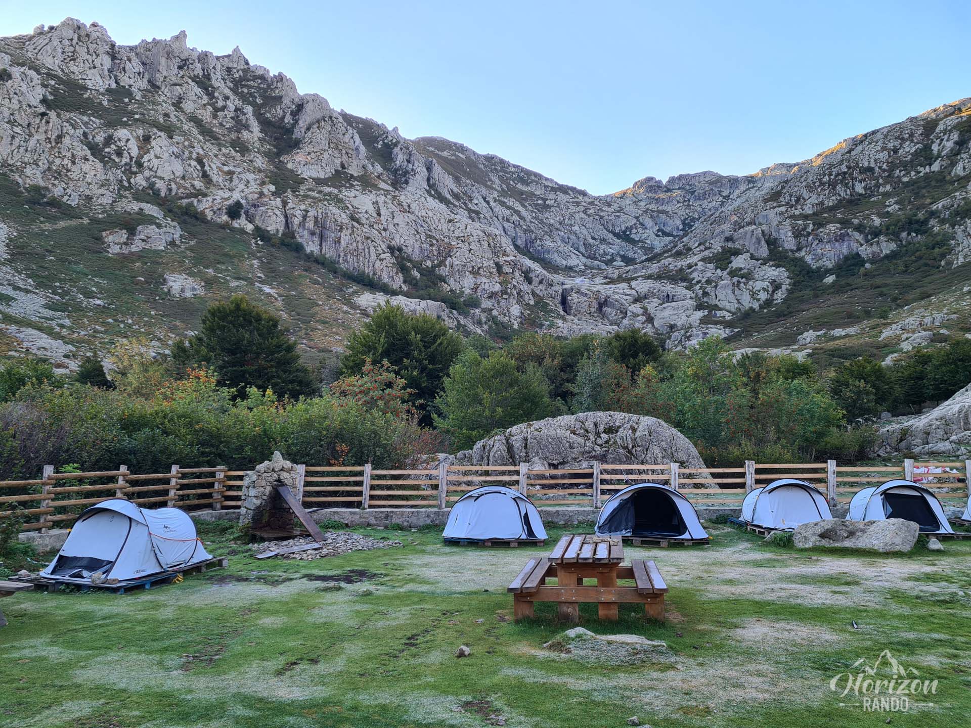
More hikes to do in Corsica
Nearby hikes
Printed from www.horizonrando.fr/en/corsica/gr20-stage-9-alpine-variant/