





GR20 Stage 4 – Asco to Tighiettu
Key facts about the hike
- Difficulty
- Hard Hikes are rated from very easy to very hard: my difficulty scale
- Duration
- 7h Estimated time, short breaks included (photos, water, snacks), picnic not included: how it is calculated
- Distance
- 8.5km
- Elevation gain
- 1,200m
- Elevation loss
- 940 m
- Type of route
- One way
- Maximum altitude
- 2,607 m
- Vertiginous Five levels, depending on how exposed the route is: the levels in detail
- Moderately
- Marked
- Yes
- Popularity
- High
- Region
- North-West
- Start point
- 42.40333, 8.92275
- Activity
- Trek - GR20
Hike overview
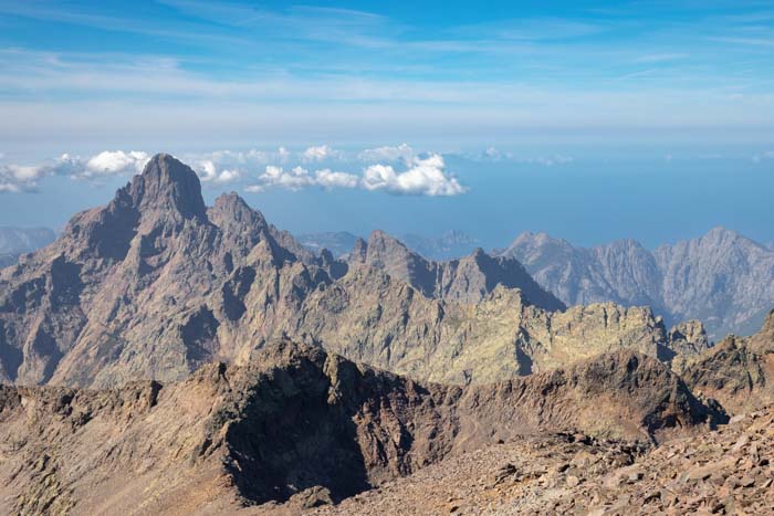
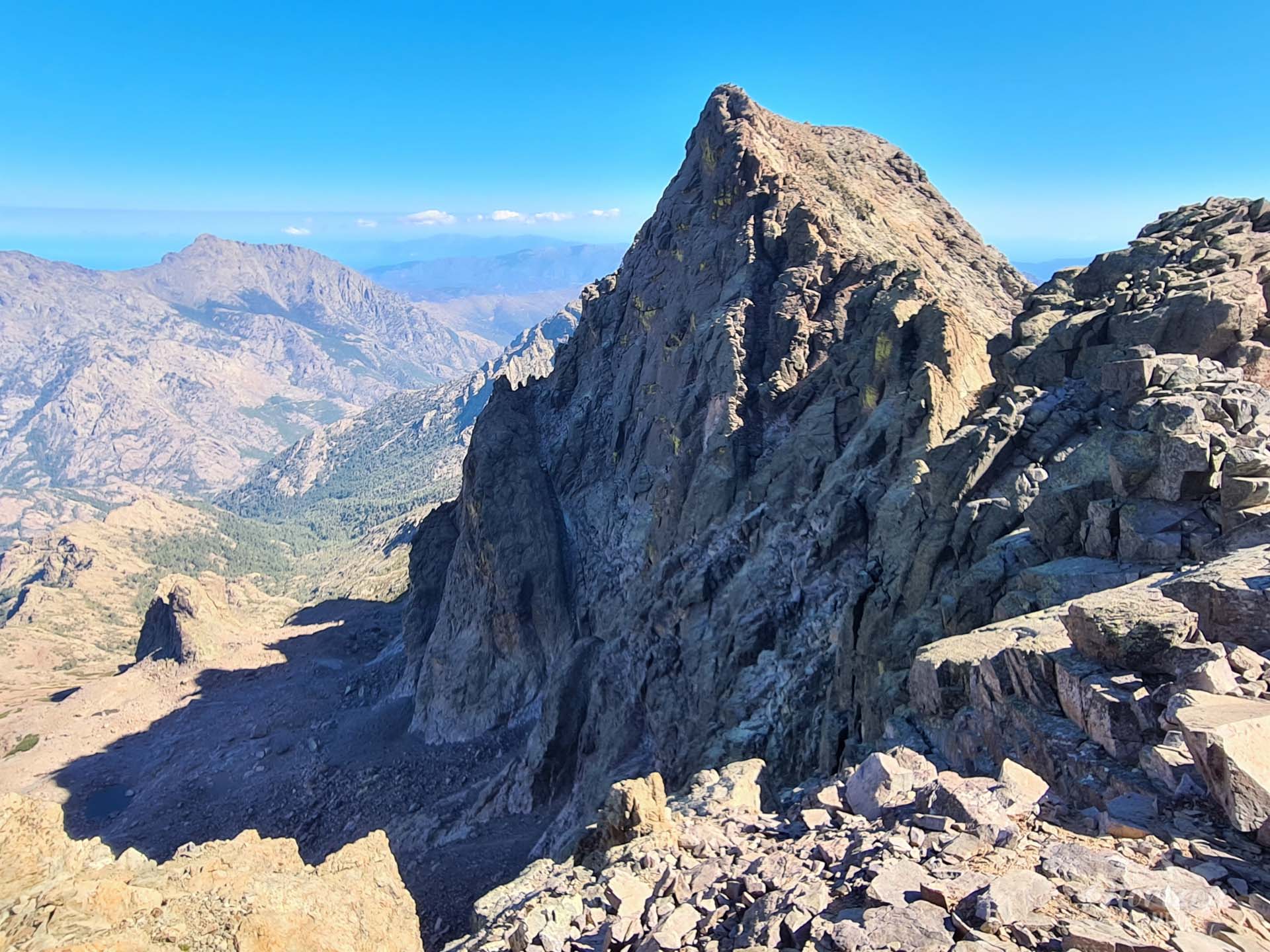
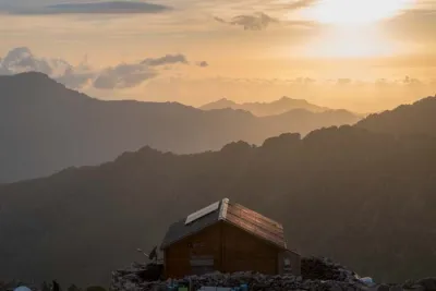
This hike is the fourth stage of the GR20 north-south trail. It connects the Asco-Stagnu (1,420 m) and Tighjettu (1,680 m) mountain huts via a challenging route that crosses Pointe des Éboulis. This is the highest point of the GR20, at 2,607 meters above sea level. Since 2016, this route has replaced the old passage through the Cirque de la Solitude, which was permanently closed following a tragic accident in September 2015.
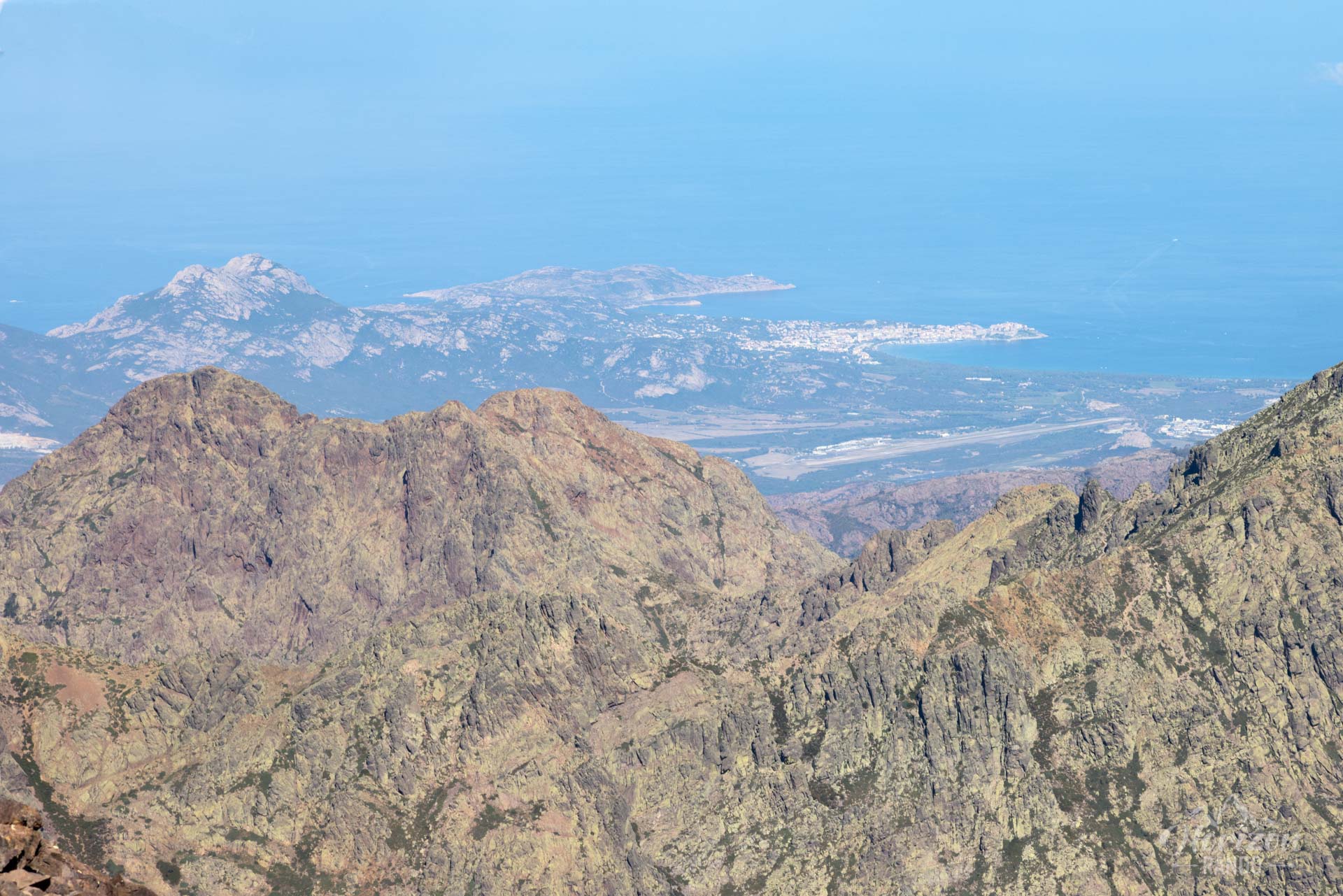
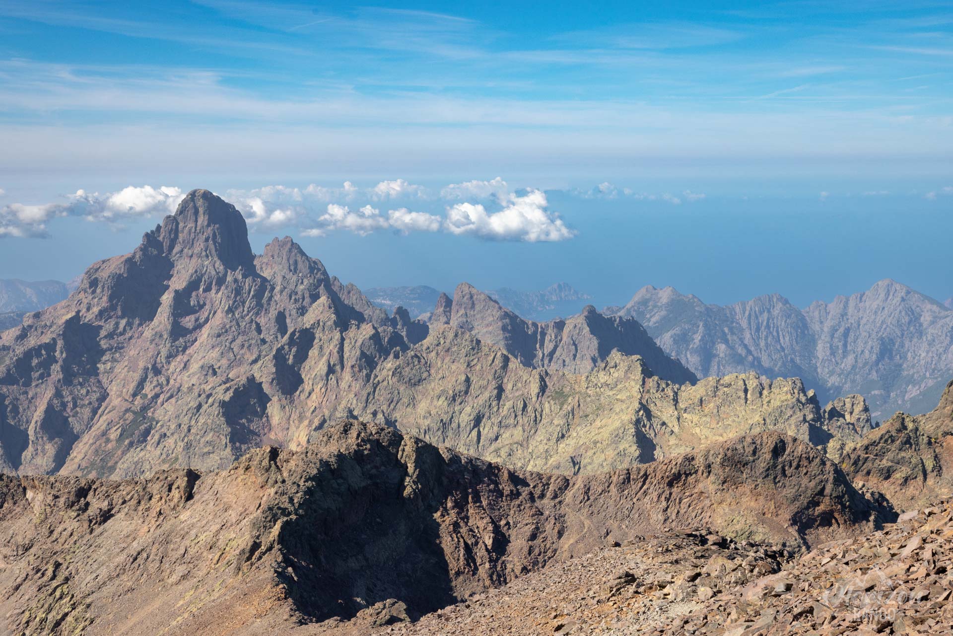
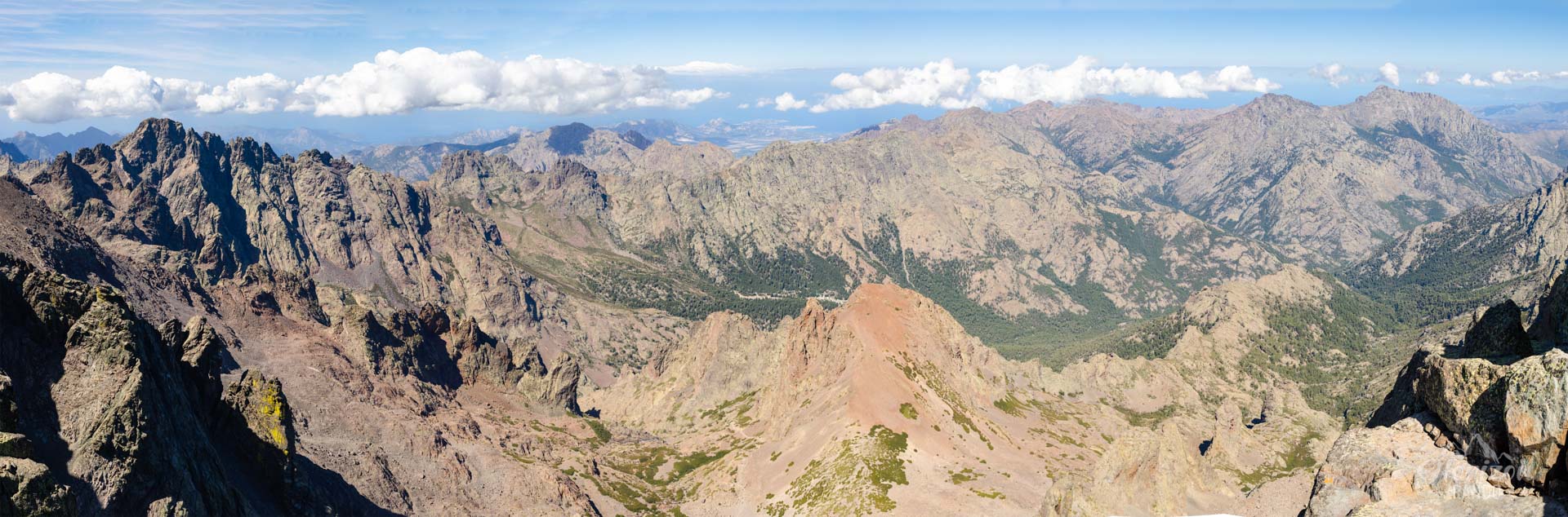
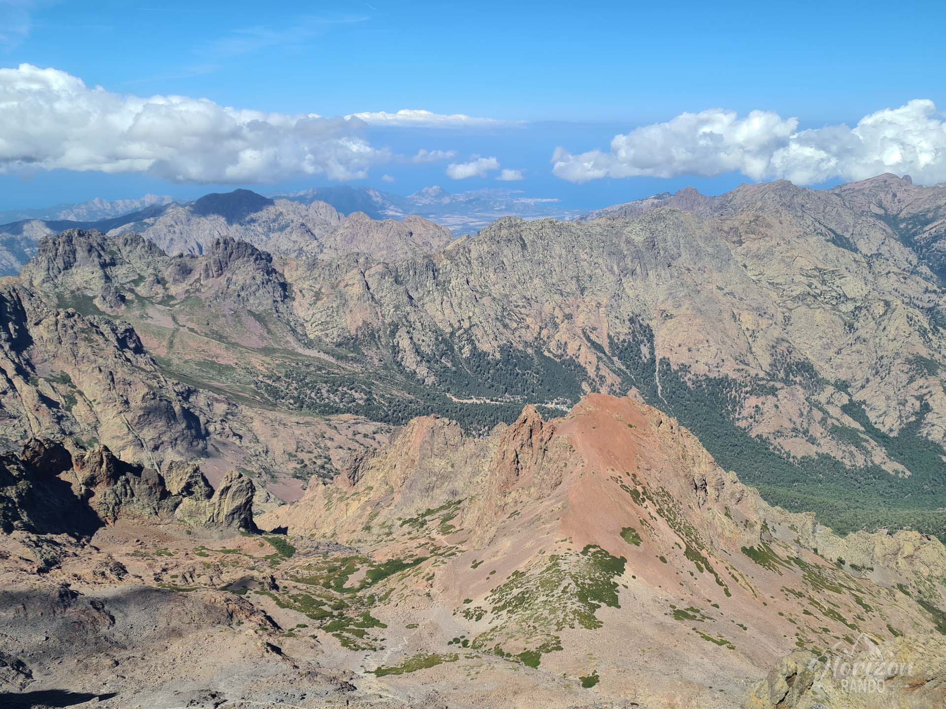
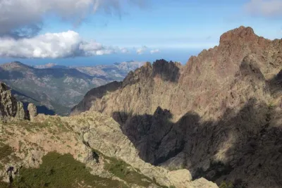
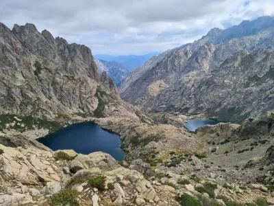
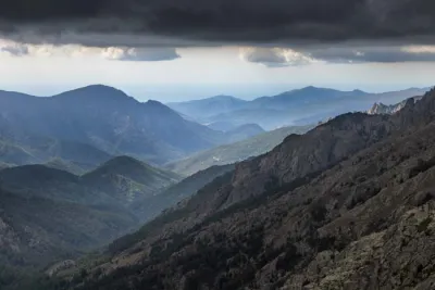
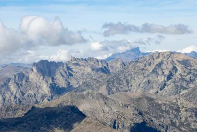
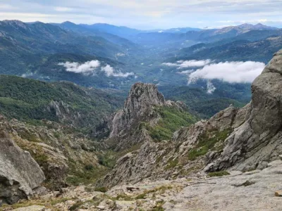
The stage begins with a long, technical ascent through a magnificent, rocky landscape, offering stunning views of the Monte Cinto massif and the surrounding Corsican peaks. Then, there is a delicate descent to the Tighjettu refuge. Motivated hikers can extend the adventure by ascending Monte Cinto (2,706 m), Corsica's highest peak, which requires an additional round-trip of about 2.5 hours from Pointe des Éboulis.
Map and elevation profile of the hike
GR20 Stage 4 – Asco to Tighiettu
Description and difficulties of the hike
This stage is one of the most demanding of the GR20. It involves 1,200 meters of elevation gain, nearly 1,000 meters of descent, and approximately seven hours of walking.
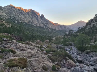
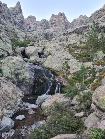
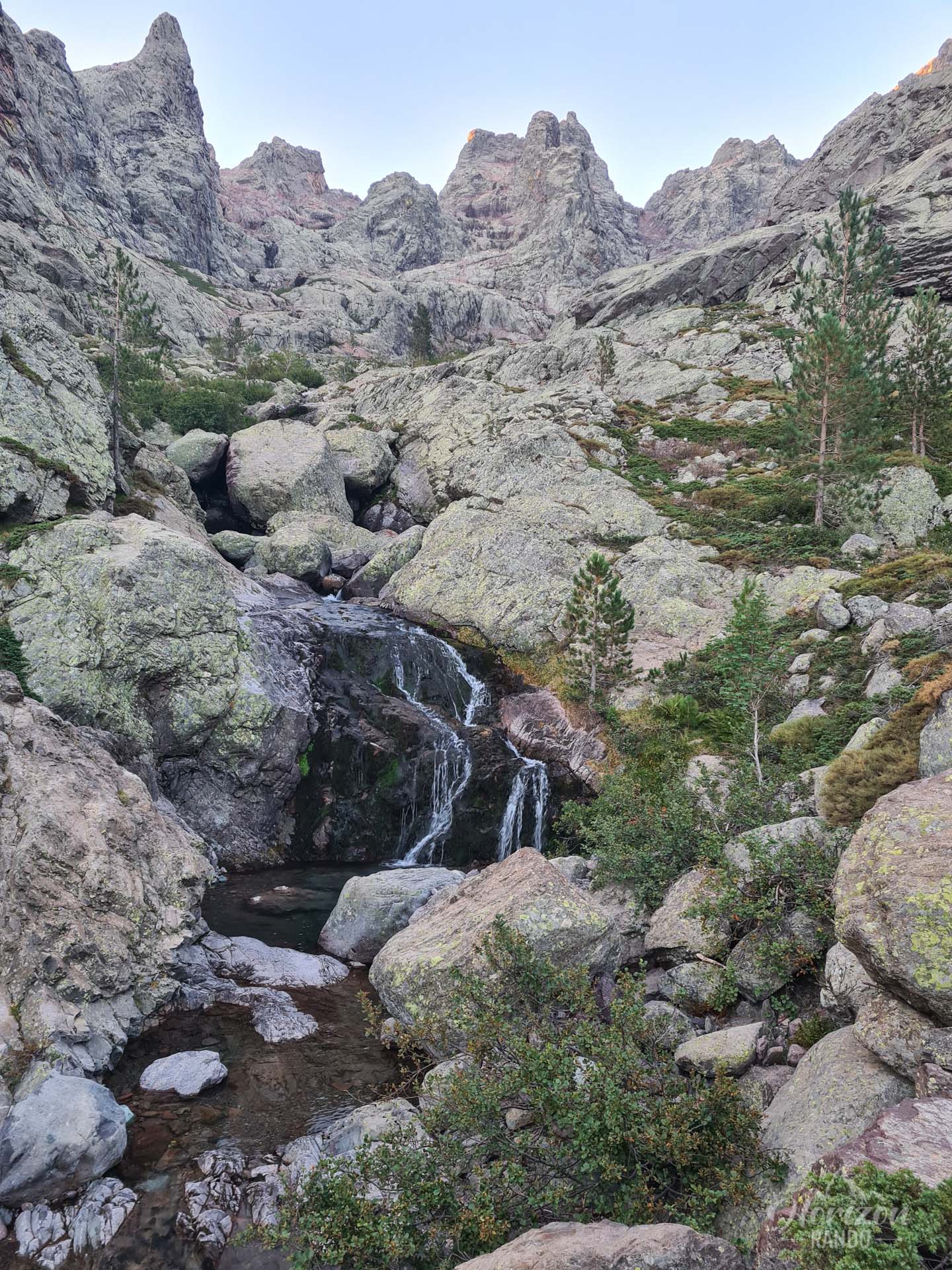
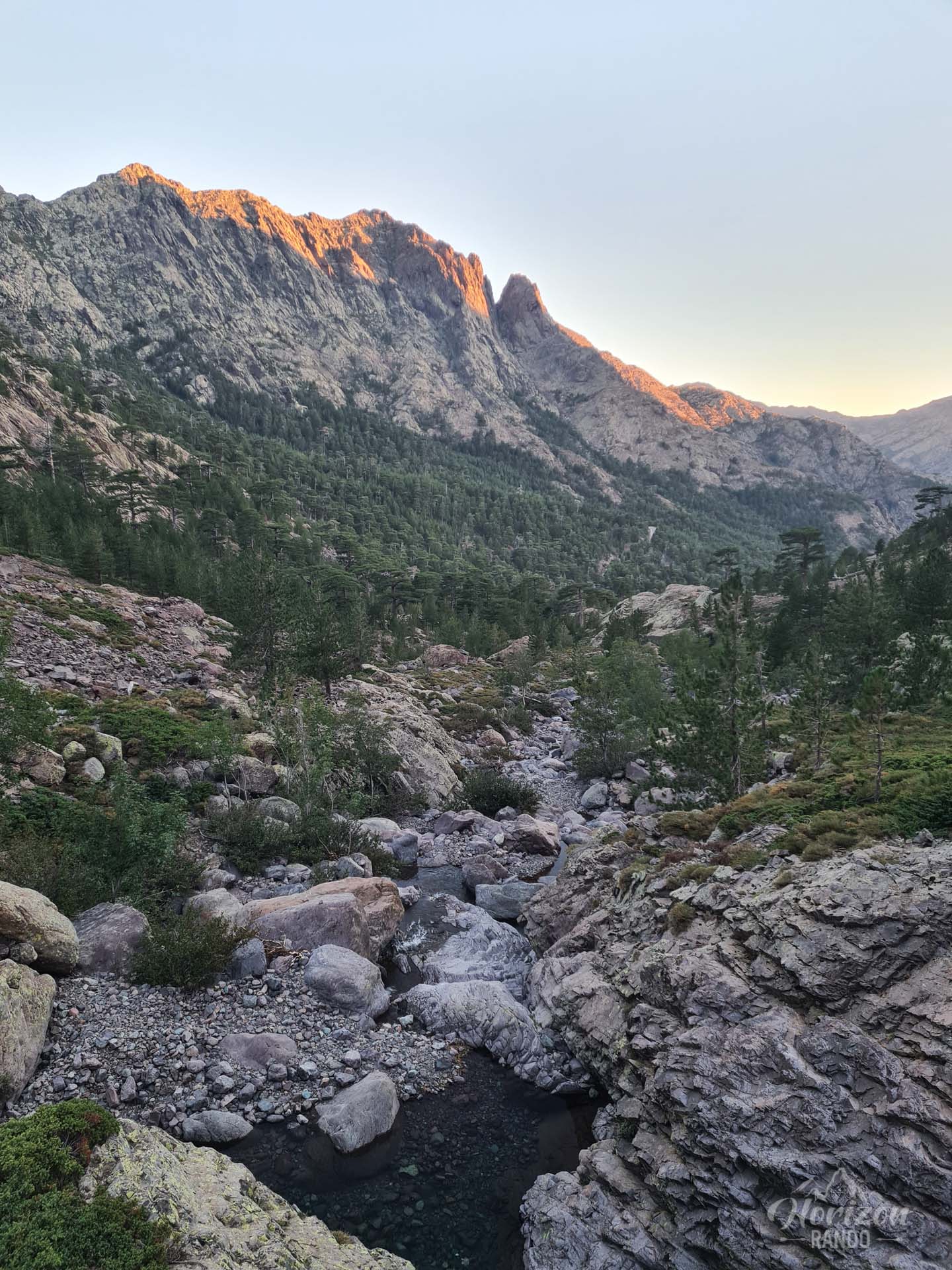
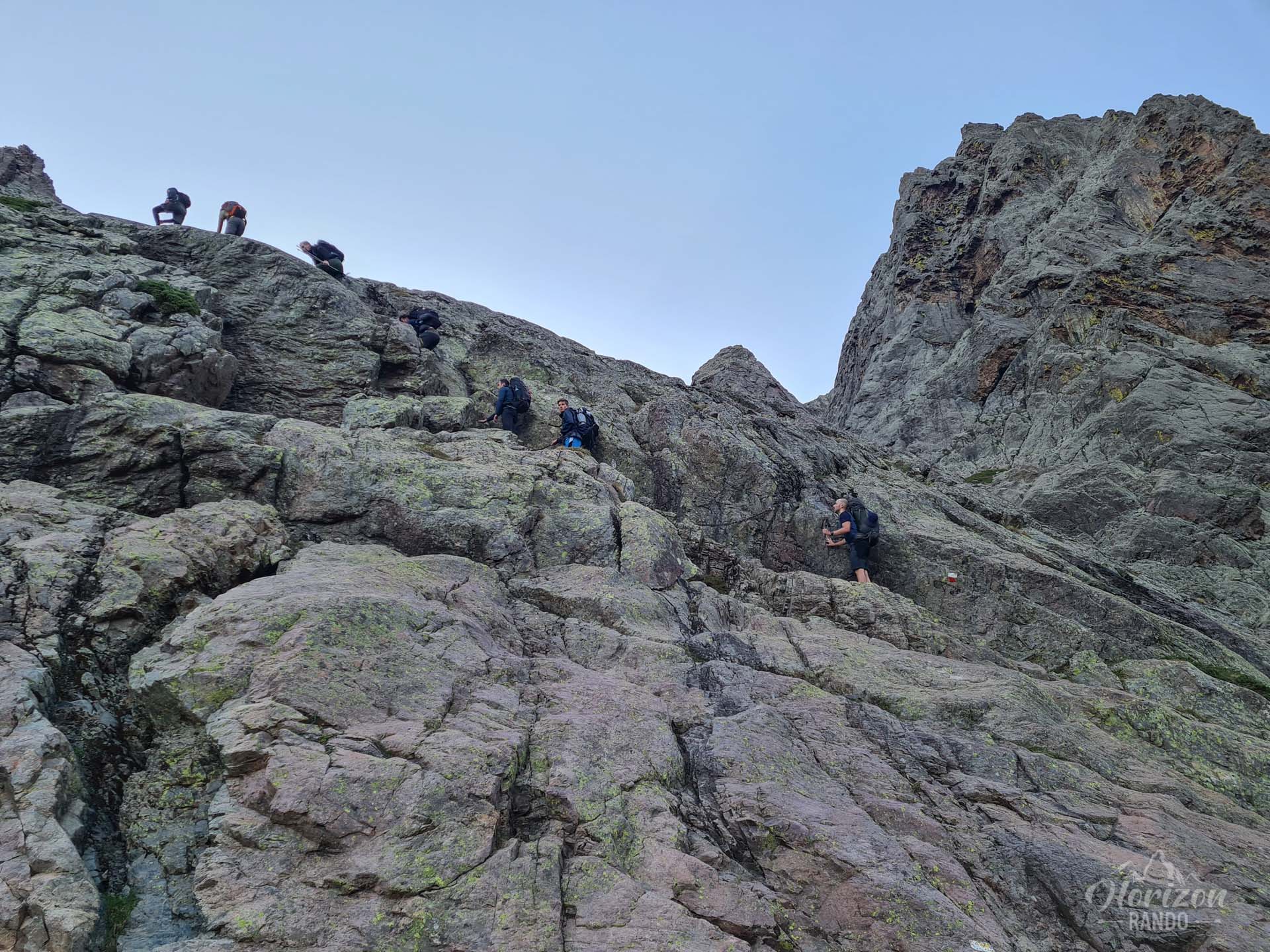
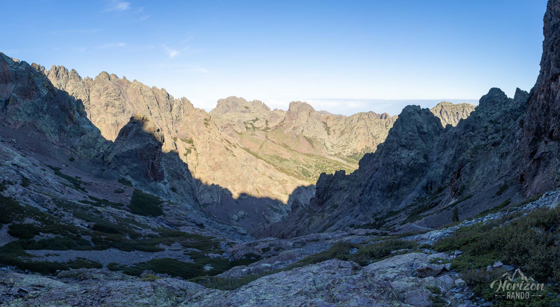
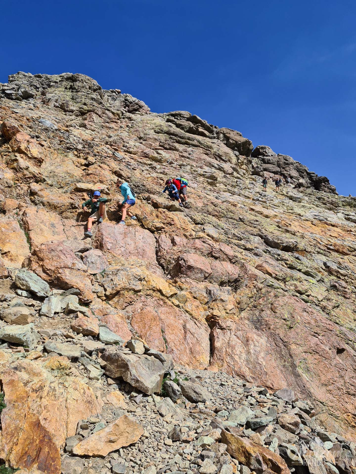
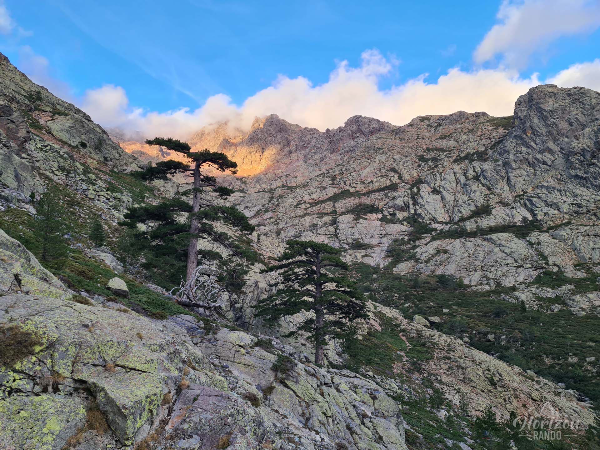
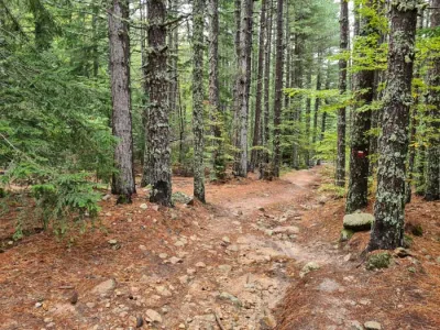
The route begins with a long climb of more than five kilometers through varied landscapes: Laricio pine forest, then rocky slabs, and unstable scree. Many sections have chains and cables to assist with crossing ledges and steep slopes, which can be slippery in wet weather.
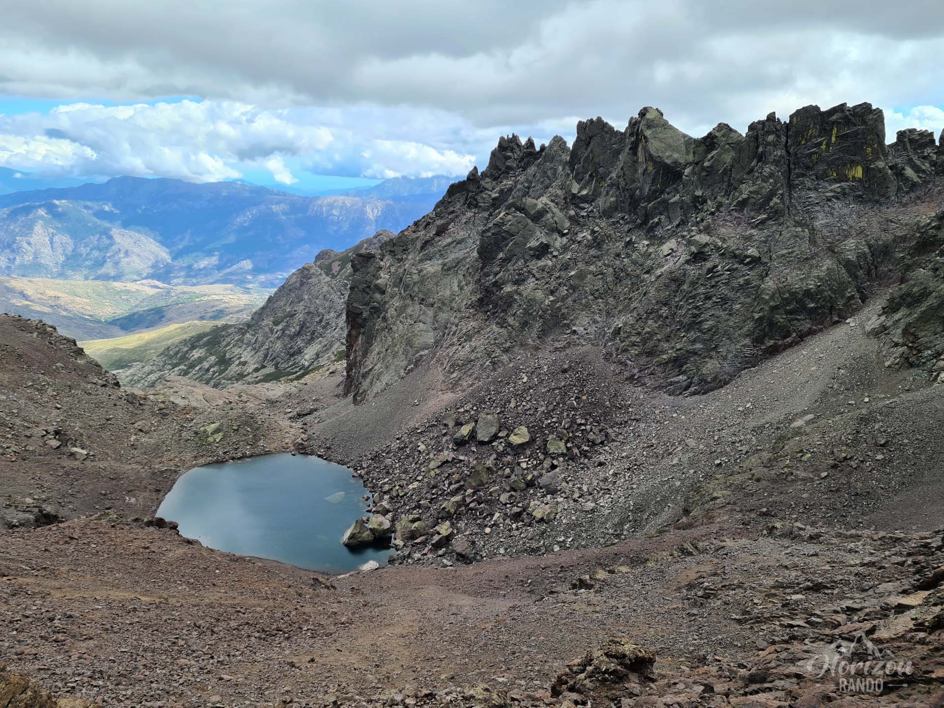
Progress on the scree slopes is slow and strenuous. At Pointe des Éboulis (2,607 m), the highest point of the route, there may be snowfields until early July, which sometimes require the use of crampons and ice axes.
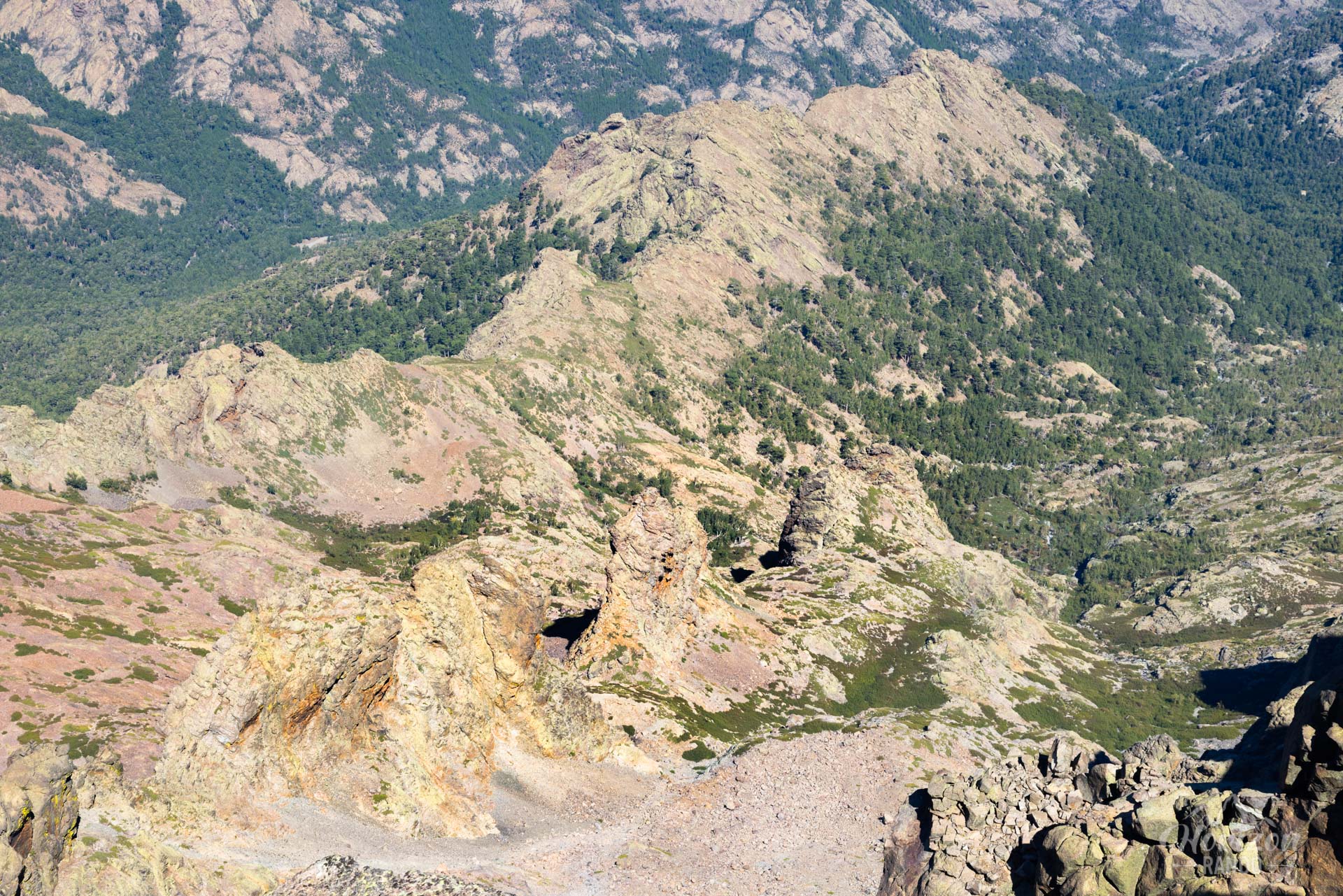
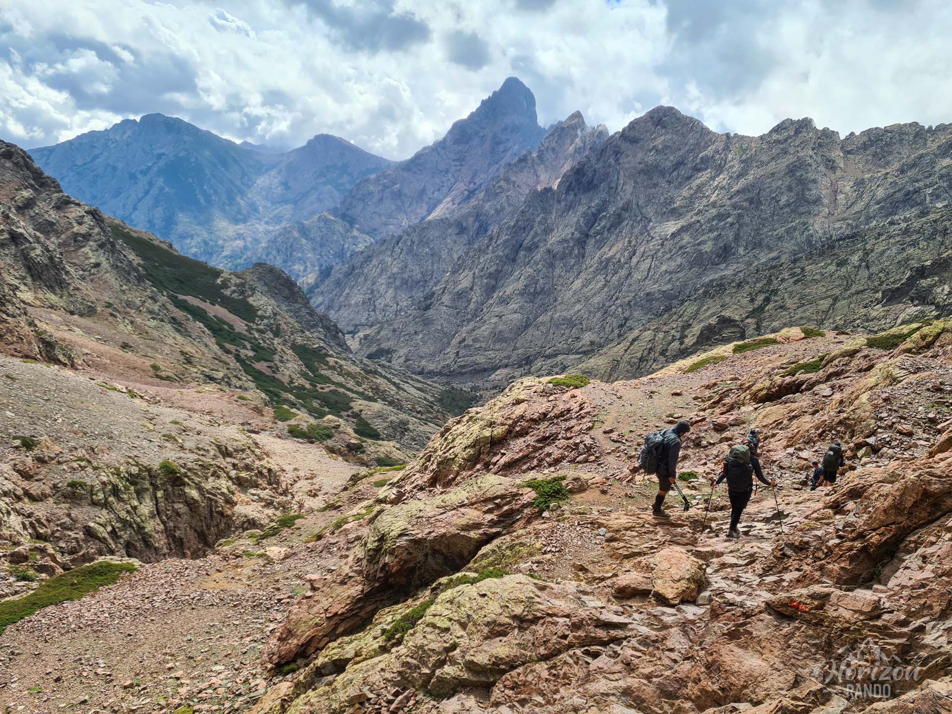
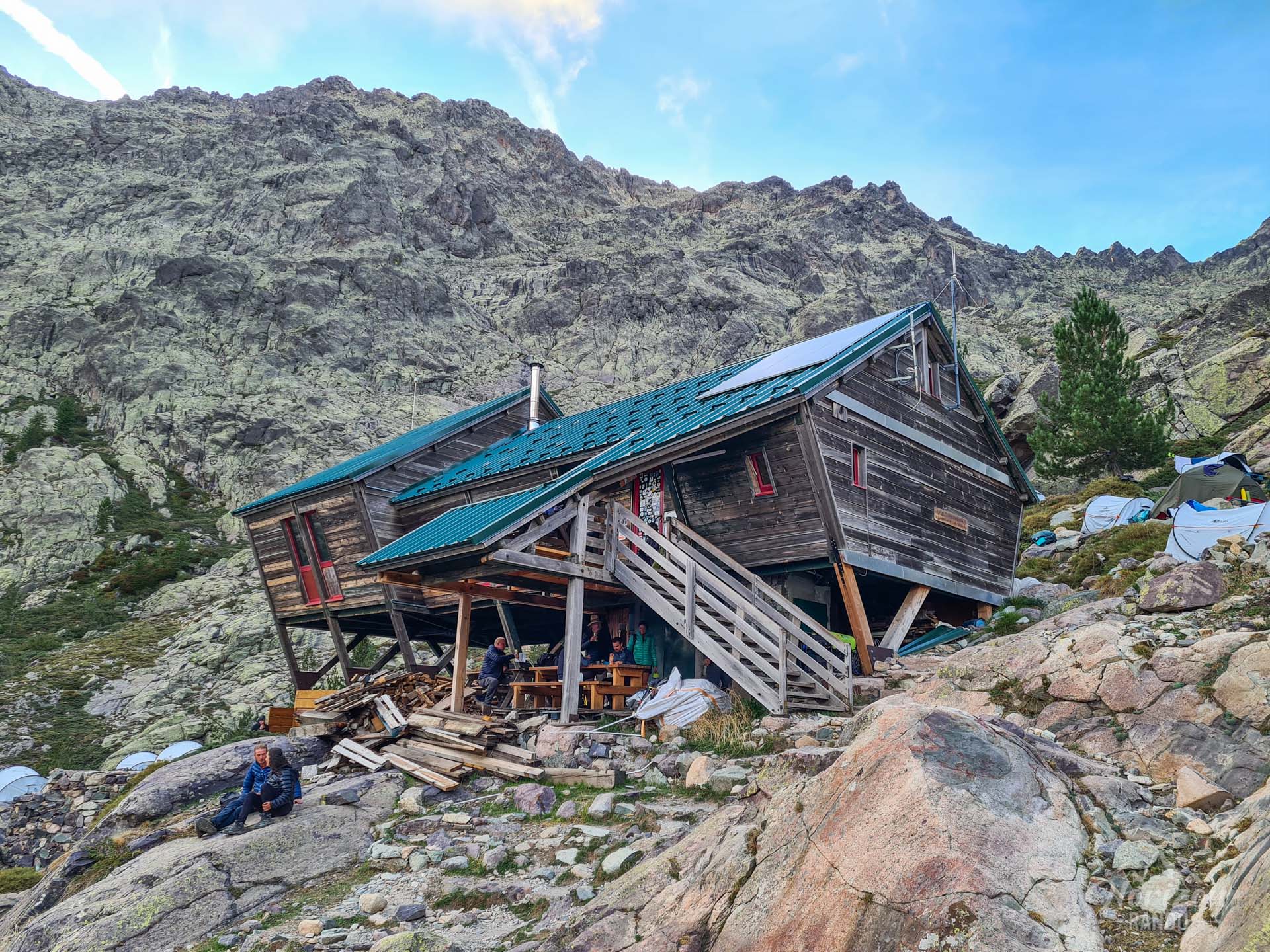
Then, the descent to the Tighjettu refuge is on technical terrain that alternates between scree and boulders, dropping nearly 1,000 meters and putting a lot of strain on knees and ankles.
What you'll love
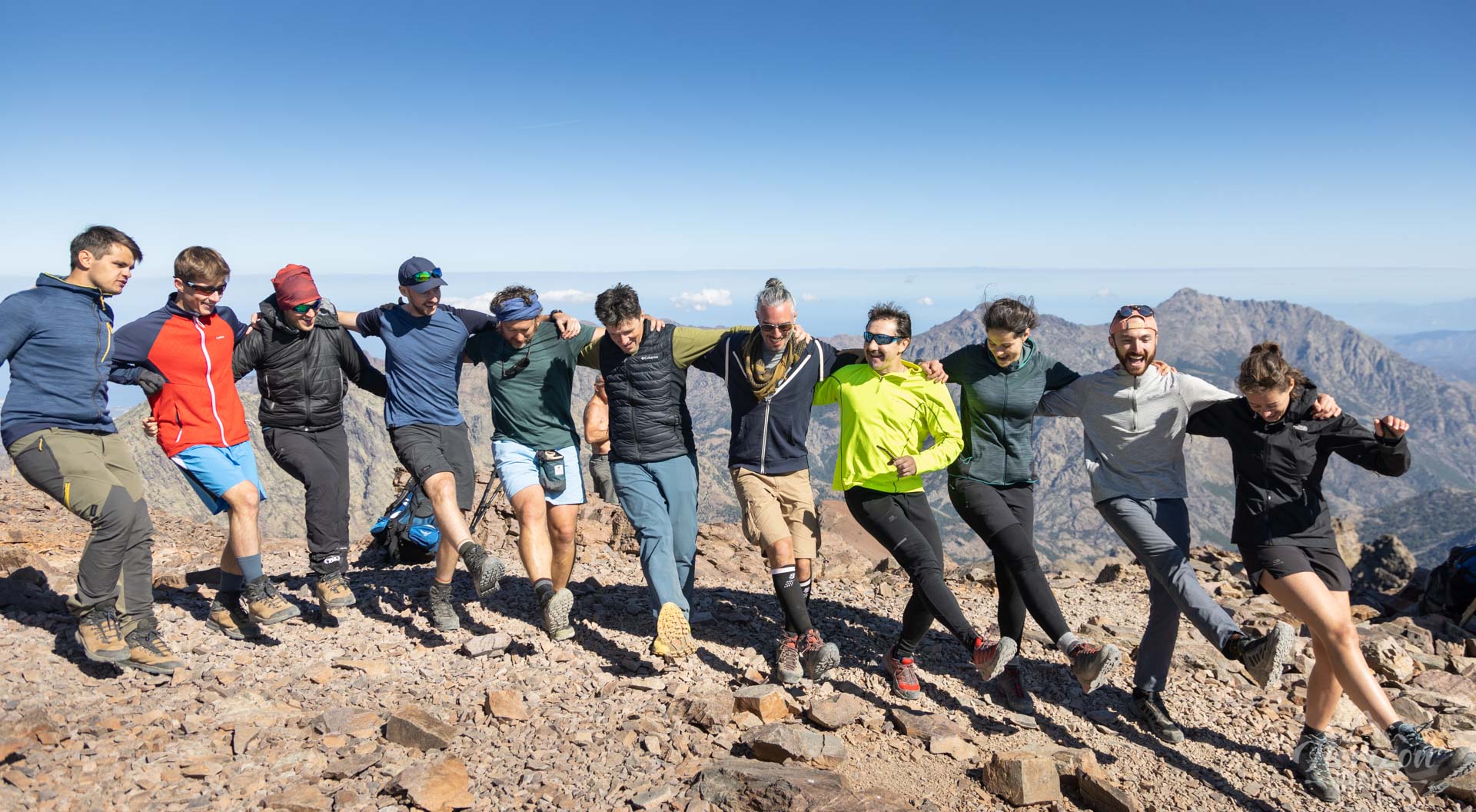
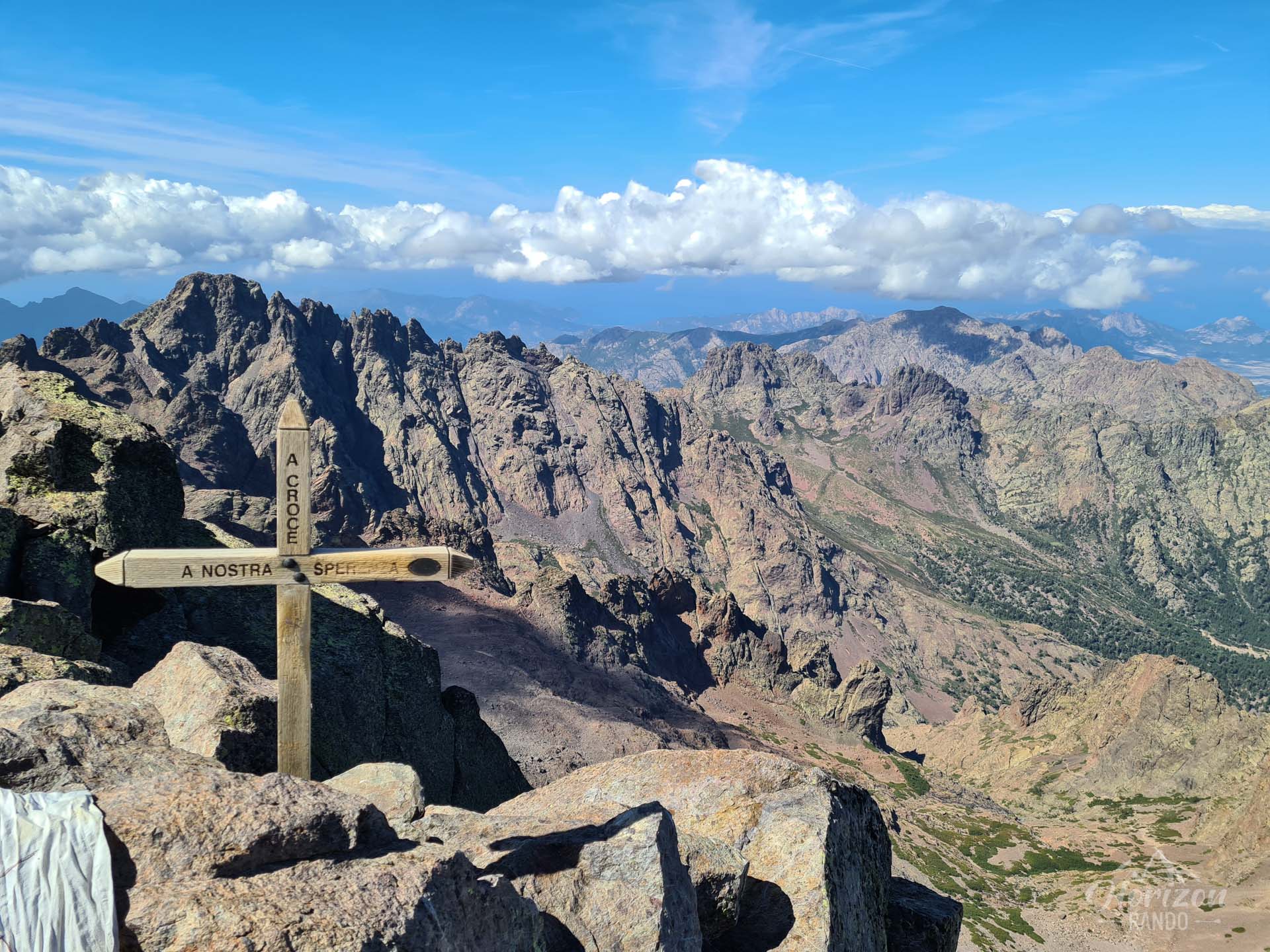
- The exceptional panorama from Pointe des Éboulis (2,607 m), the highest point on the GR20, and the satisfaction of completing one of the route's most legendary stages.
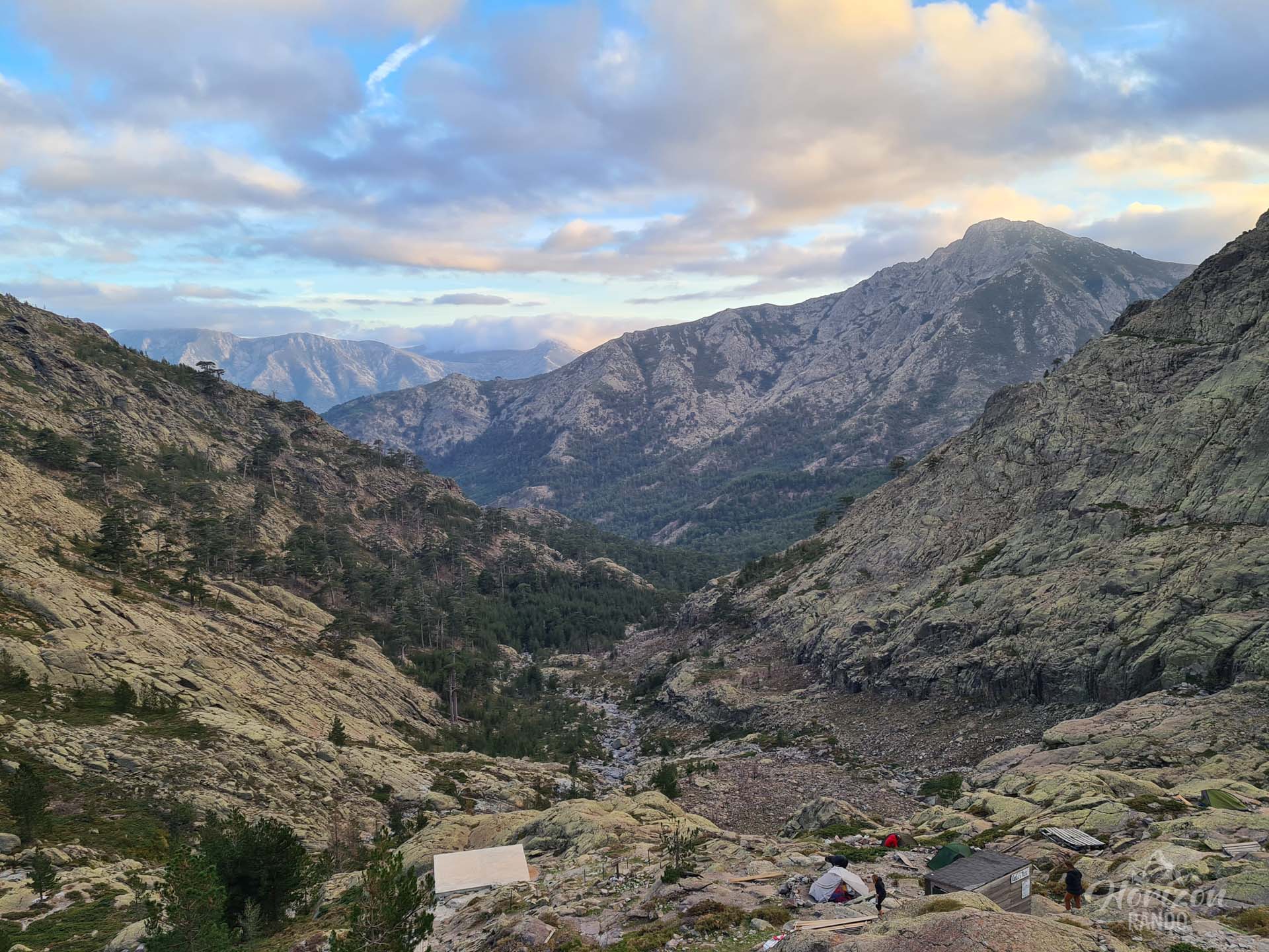
- Immersion in the heart of the Monte Cinto massif, with its grandiose, wild, and untamed landscapes.
- The chance to climb Monte Cinto (2,706 m), Corsica's highest peak, from Pointe des Éboulis for an unforgettable experience.
Practical information
Ascent of Monte Cinto
From Pointe des Éboulis, you can climb Monte Cinto (2,706 m), the highest peak in Corsica. Allow between two and three extra hours for this round trip. The route is quite technical and vertiginous in places, but the fabulous view from the island's highest peak is well worth the effort. Follow the red dot markings (GPX track, Stage 4 - Monte Cinto).
Snow Conditions
This stage may remain snow-covered until early July and is only accessible with crampons and an ice axe. At the beginning of the season, it is essential to check with the Haut-Asco refuge about the expected conditions before setting off.
Alternative Accommodation
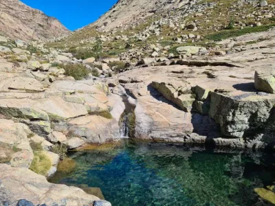
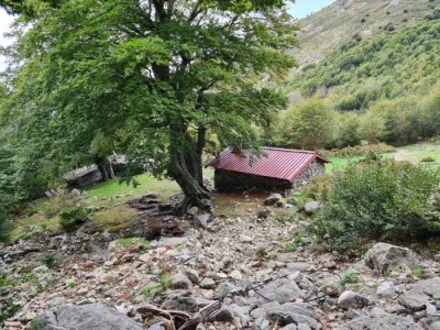
If the Tighjettu Refuge is full, or if you wish to extend your hike, the Ballone sheepfolds (1,425 m) are located 30 minutes downhill and offer the opportunity to enjoy a nearby stream with natural pools.
Photos
See all 19 photos →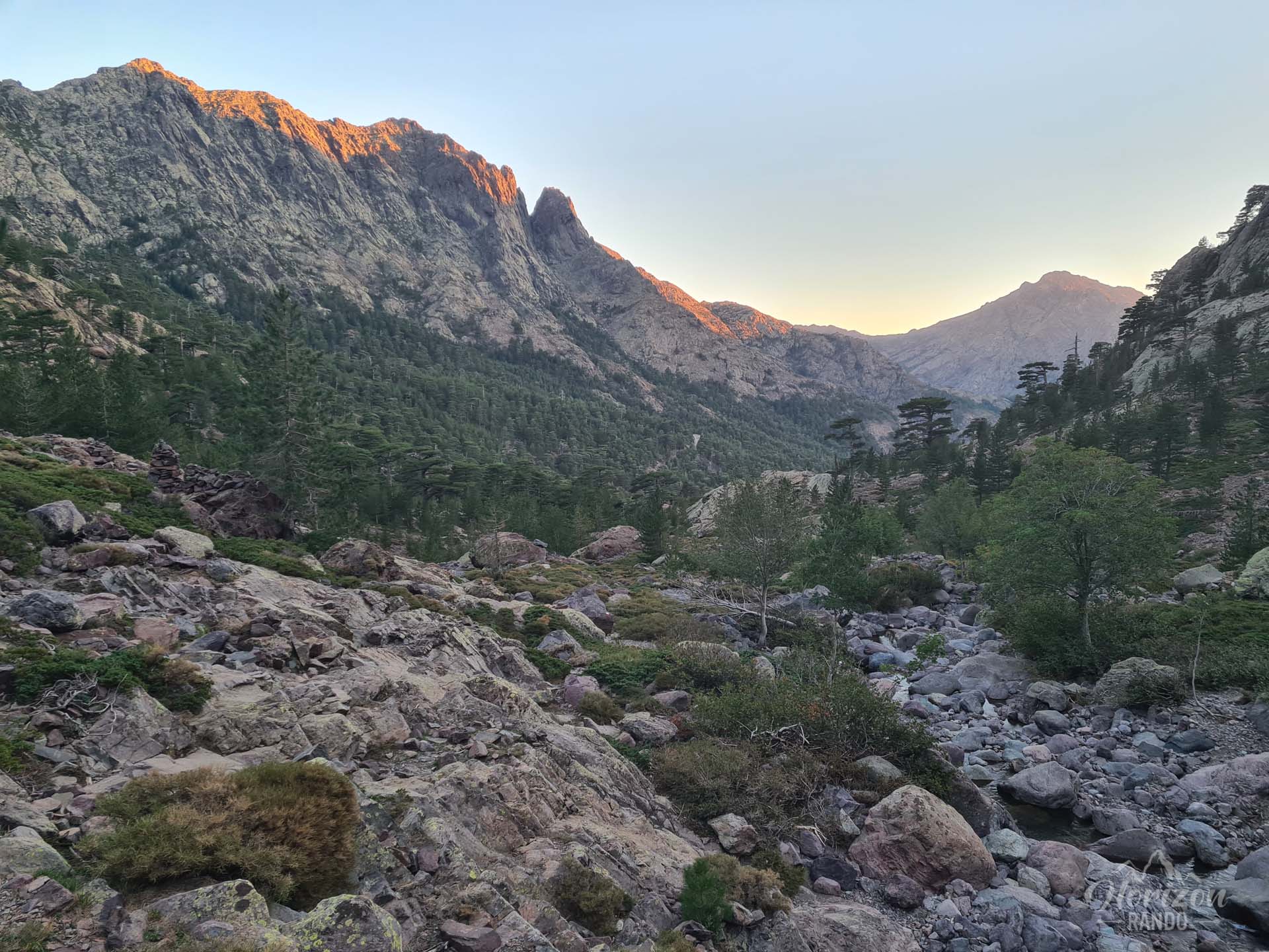
More hikes to do in Corsica
Nearby hikes
Printed from www.horizonrando.fr/en/corsica/gr20-stage-4-from-asco-to-tighiettu/